EstuaryWatch Data Portal
Site details
Overview
| Estuary | Merri River Estuary |
|---|---|
| CMA | Glenelg Hopkins CMA |
| Type | Photopoint |
| Site code | Mp2 |
| Site name | Rutledges Cutting |
| Nearest road and town | Gormans Lane |
| Description | At the end of the beach access track from the easter carpark in Belfast Coastal Reserve. |
| Site access | Travel approximately 12 kilometers west out of Warrnambool on the Princes Highway. Turn left of Gormans Lane and follow to the end. Turn left into Belfast Coastal Reserve travelling all the way to the second carpark. |
| Land use |
|
| Land use description | |
| Status | Active |
| Observation history | 10-02-2017 - 15-04-2024 |
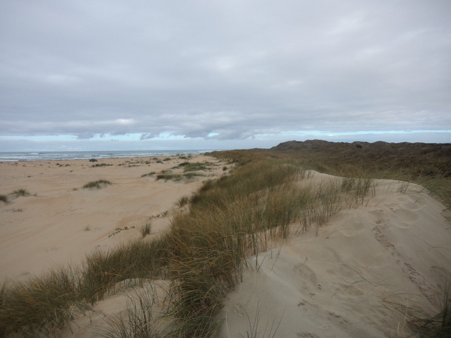
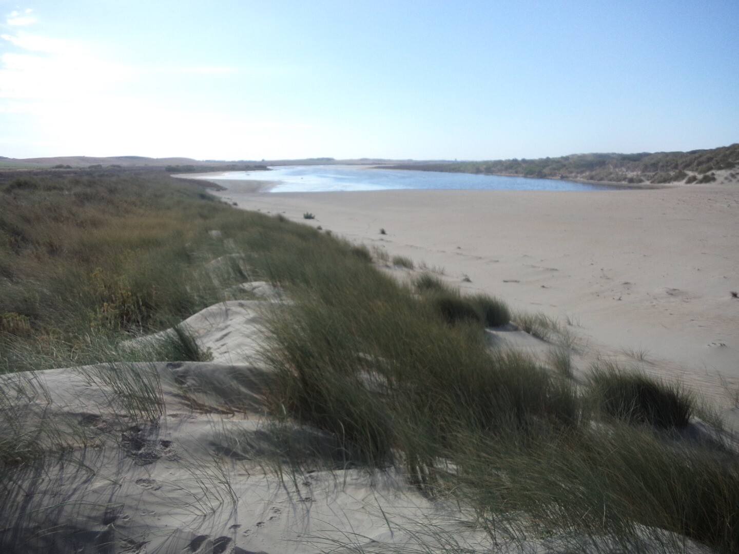
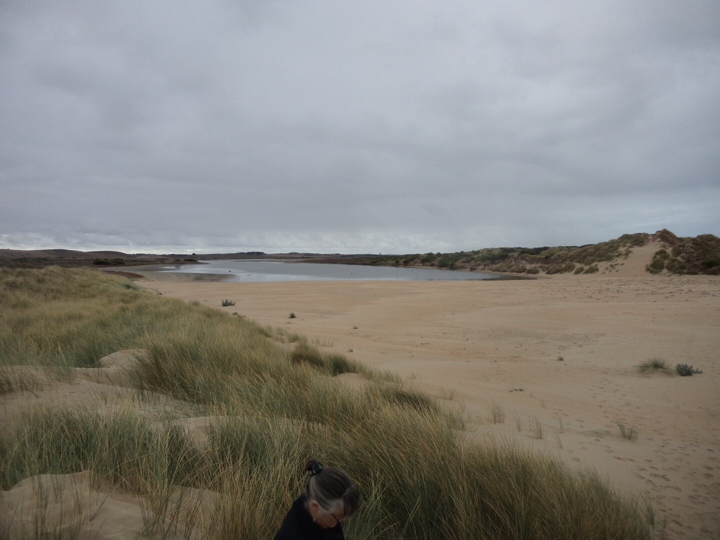
Photopoint photos
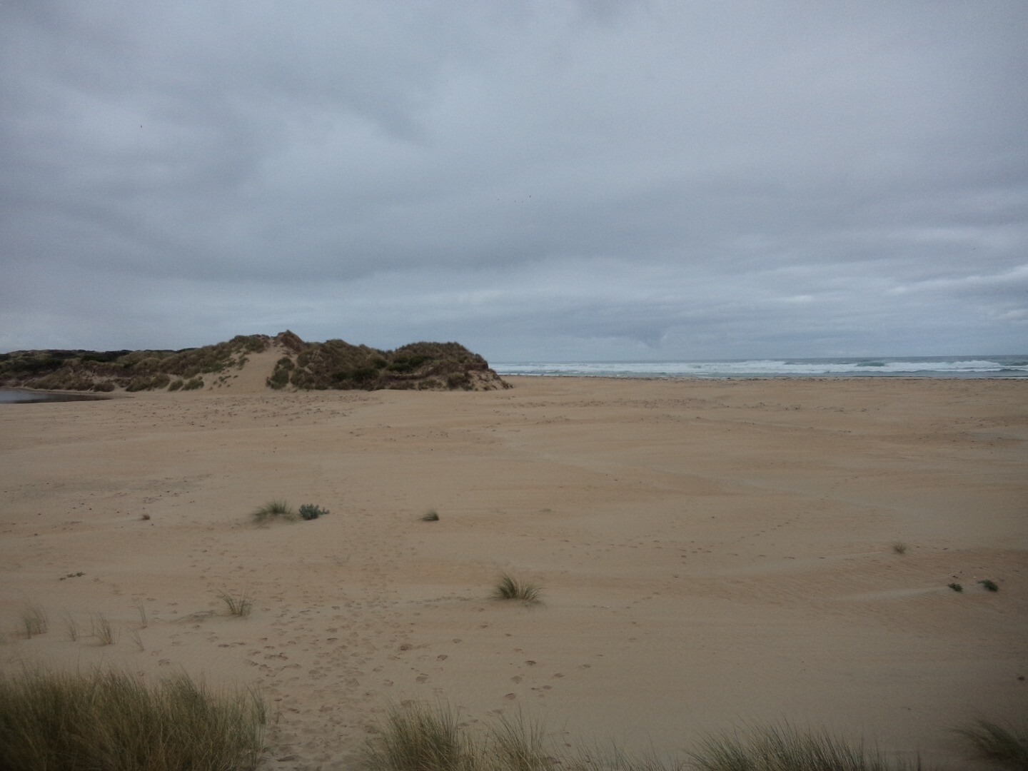
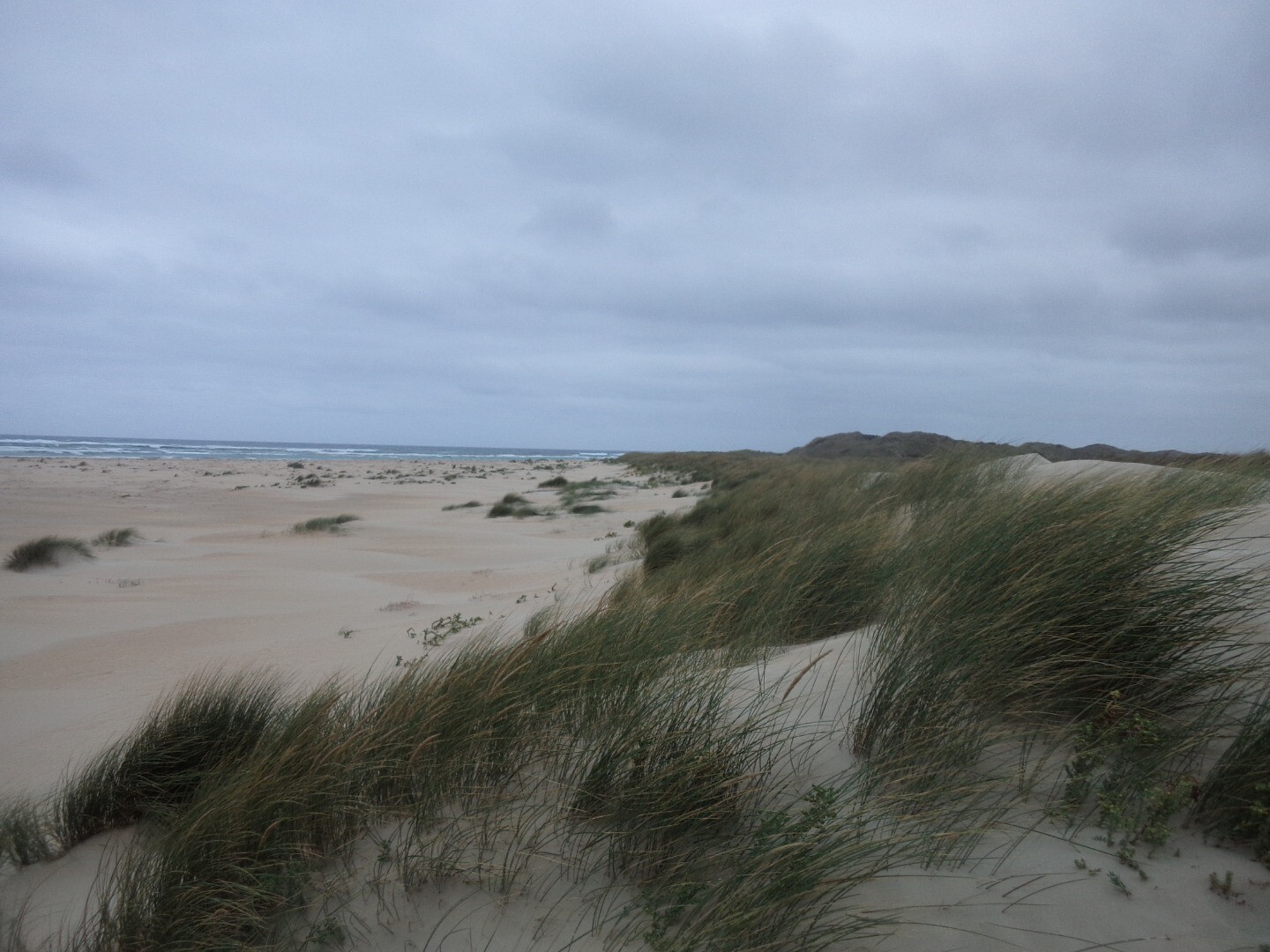
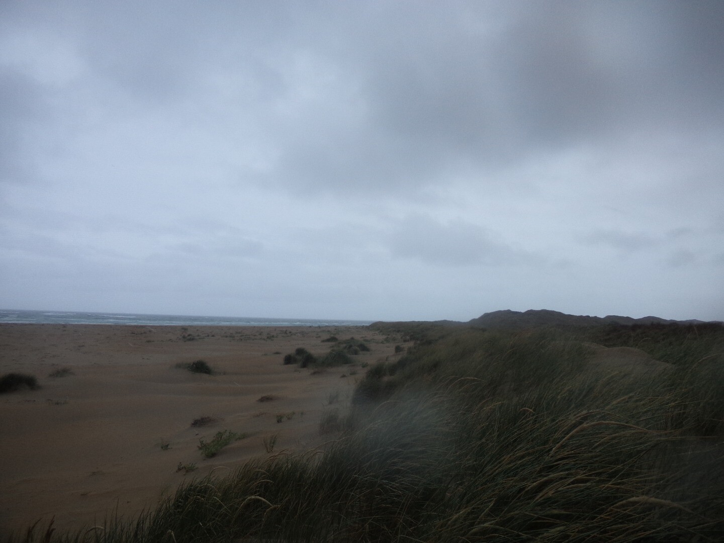
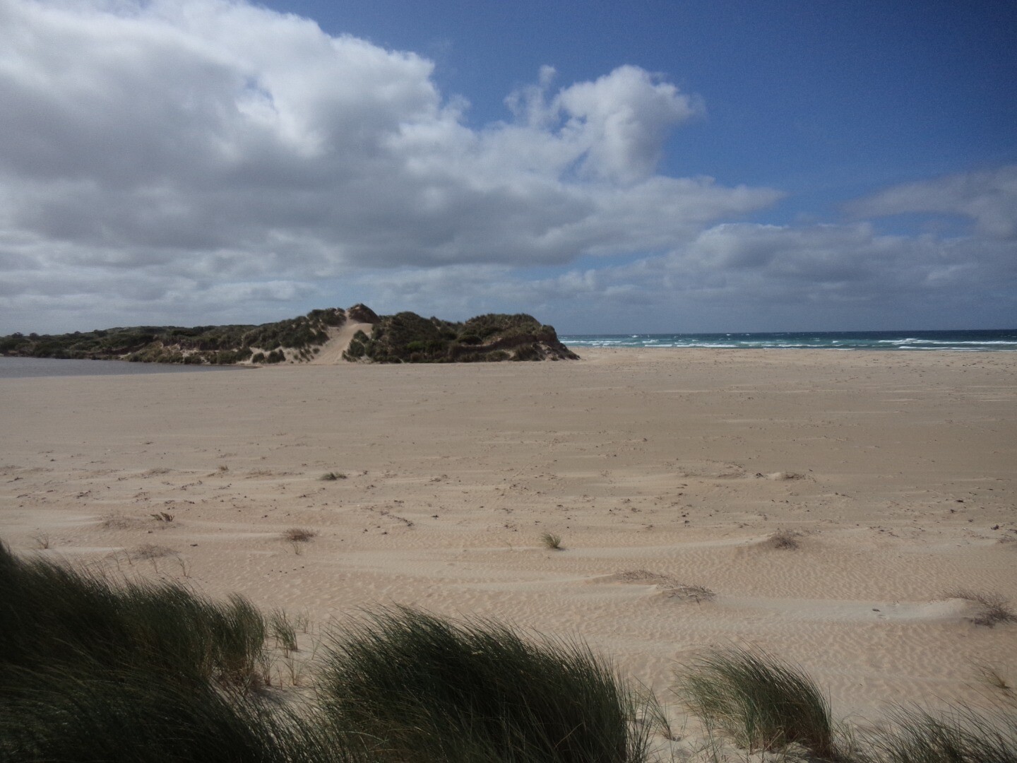
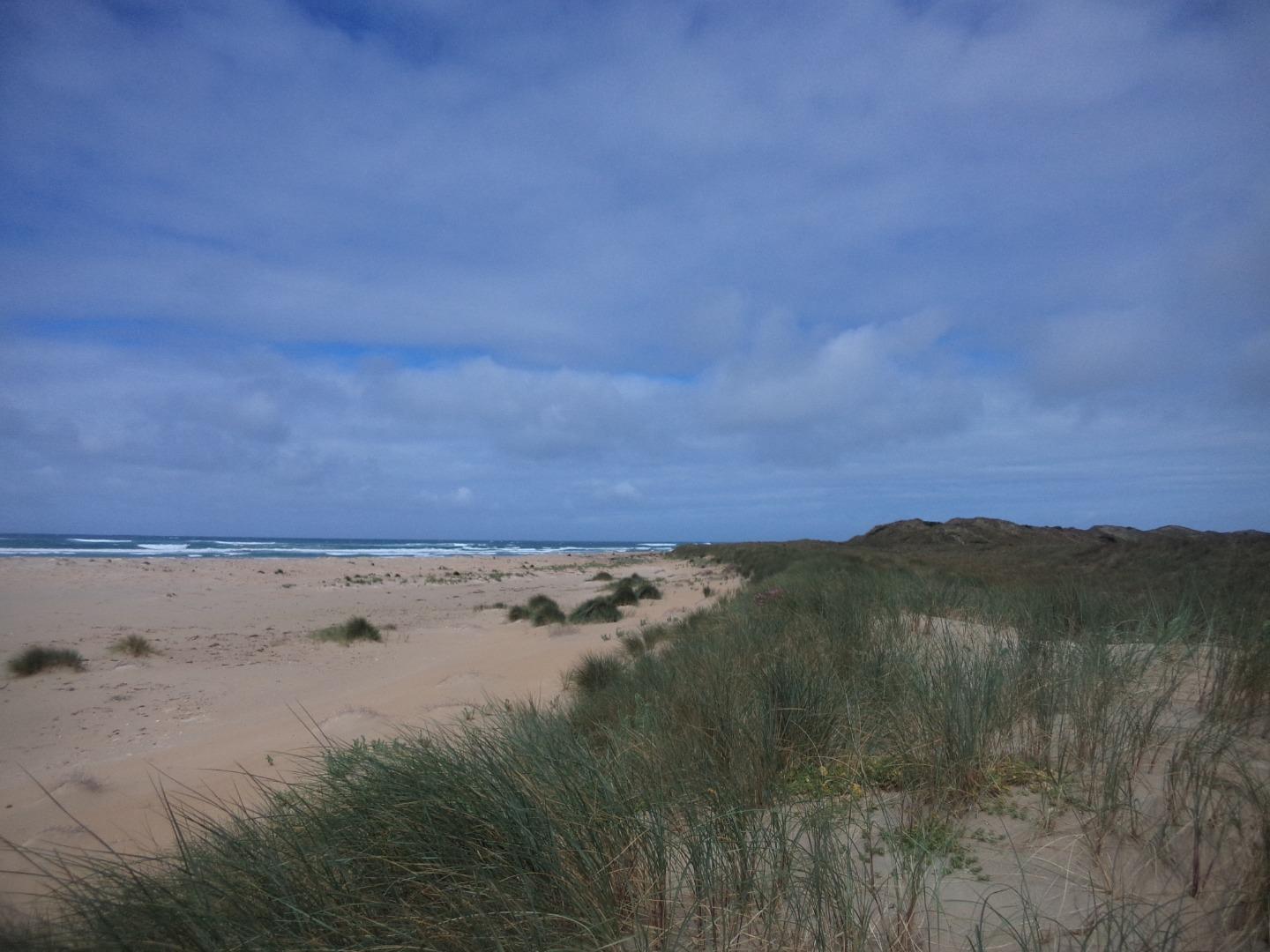
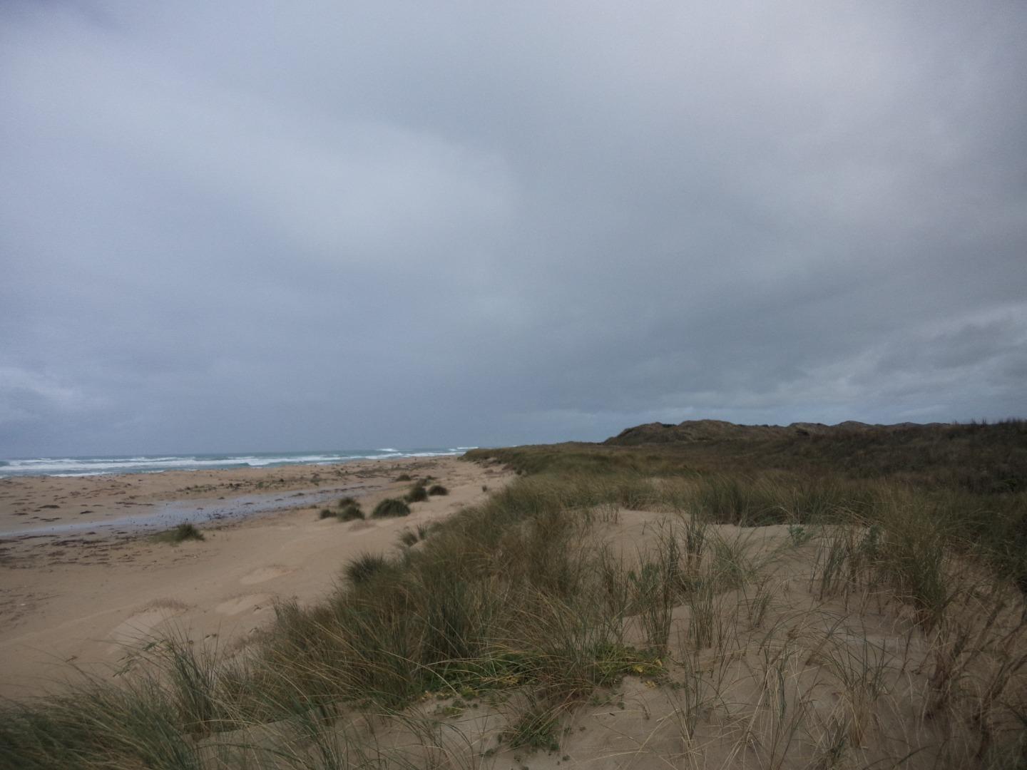
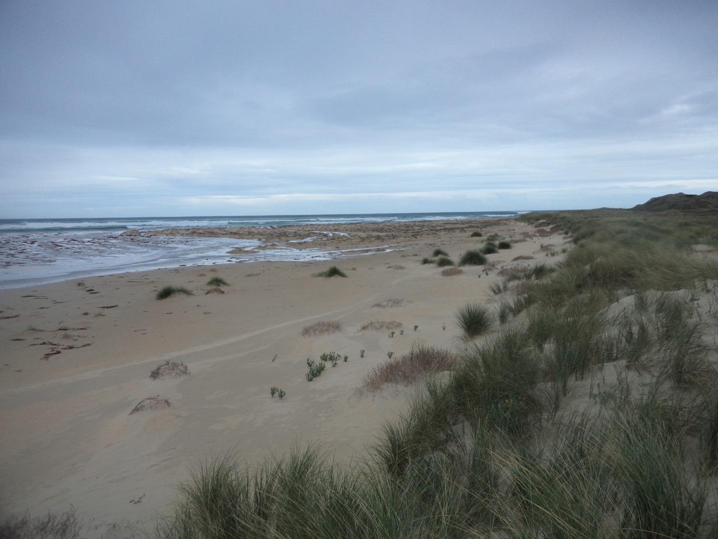
Photopoint Mp2 15-04-2024
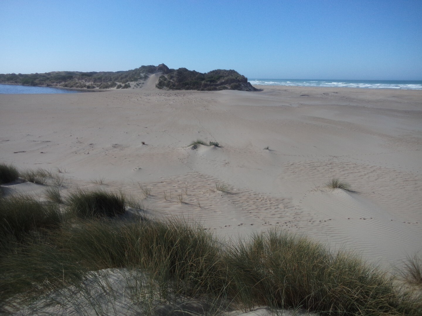
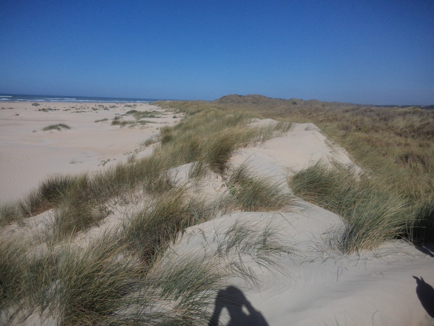
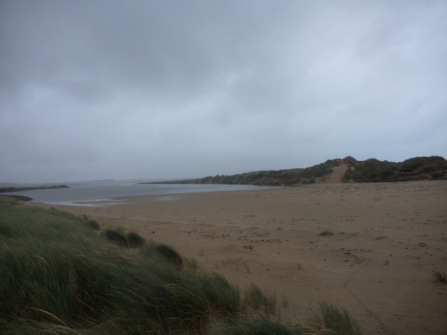
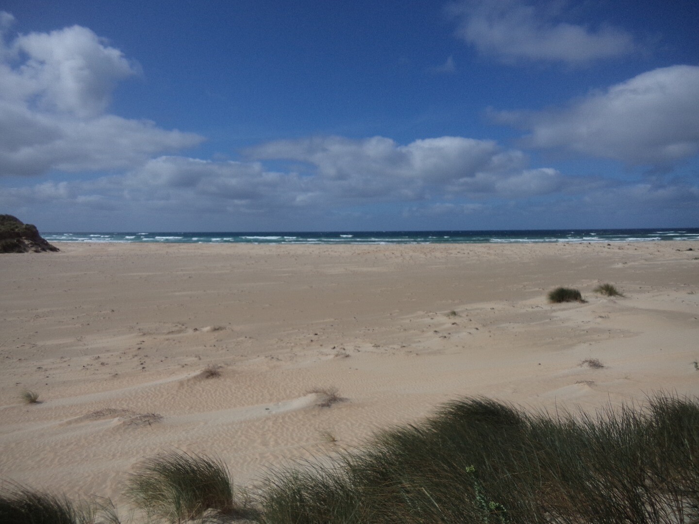
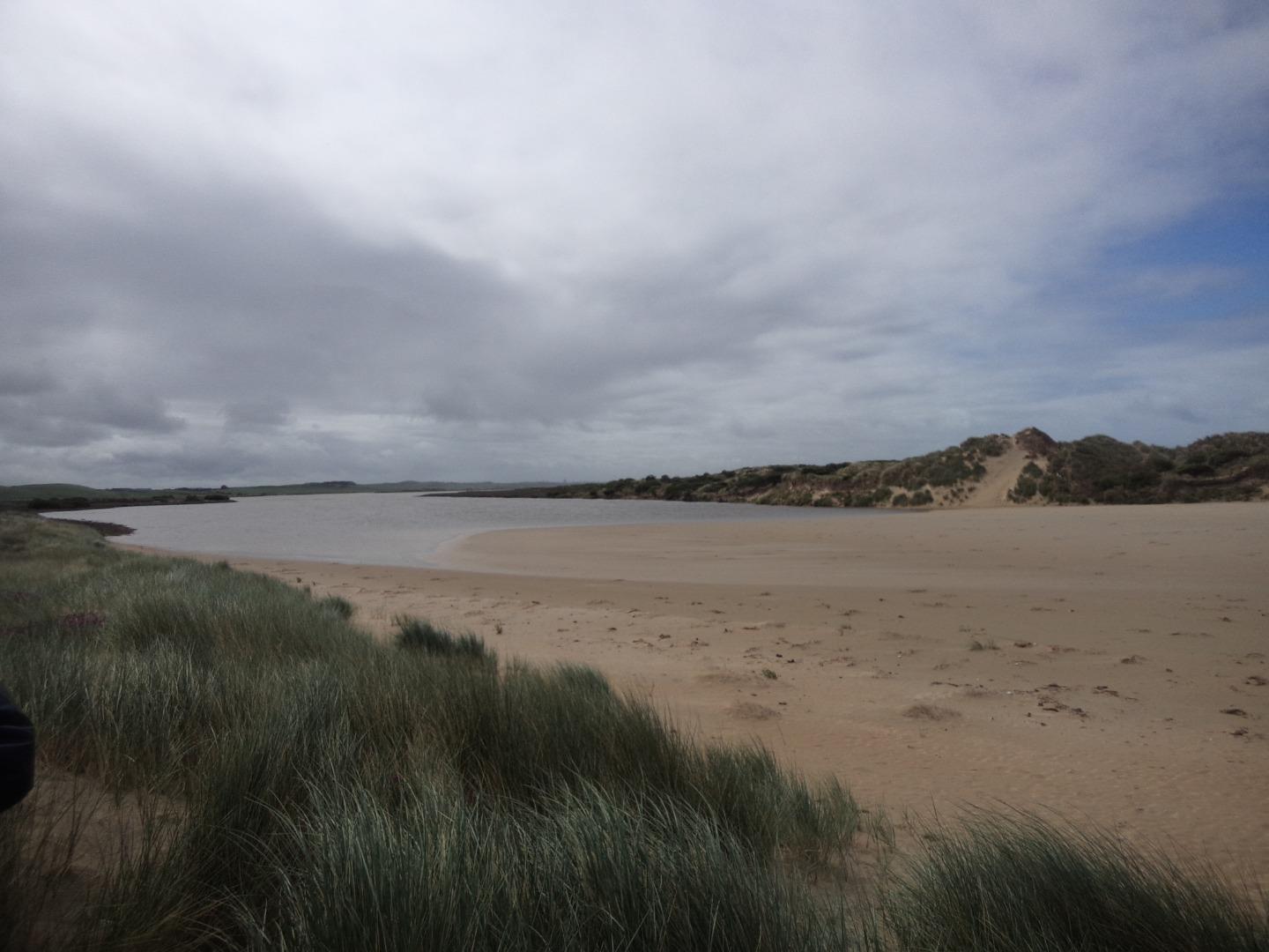
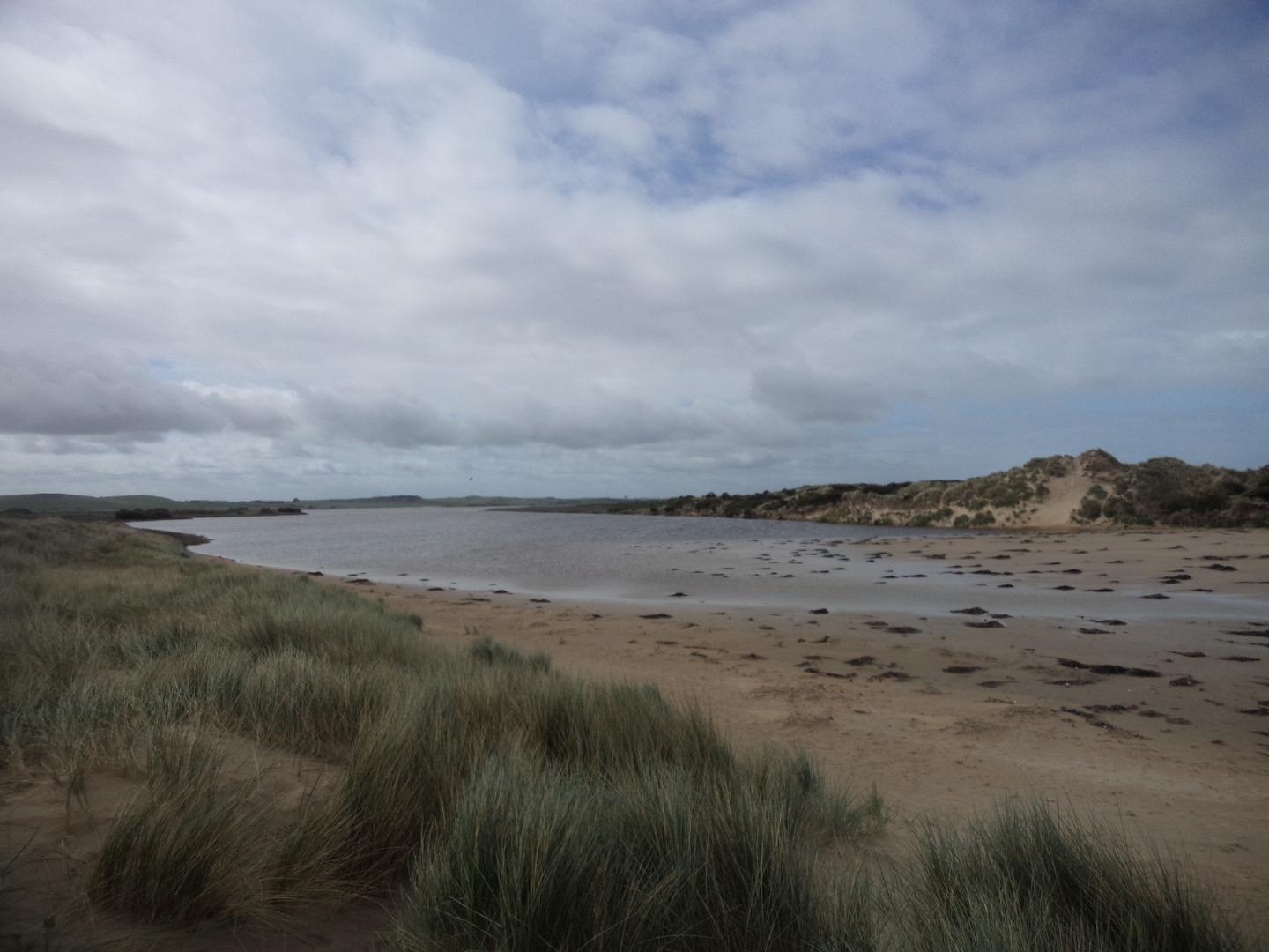
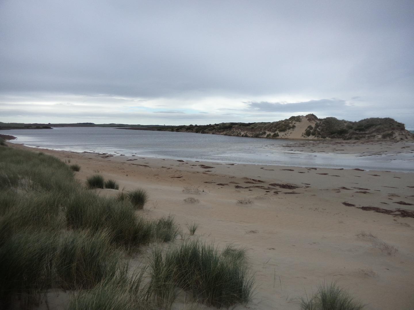
Photopoint Mp2 20-03-2024

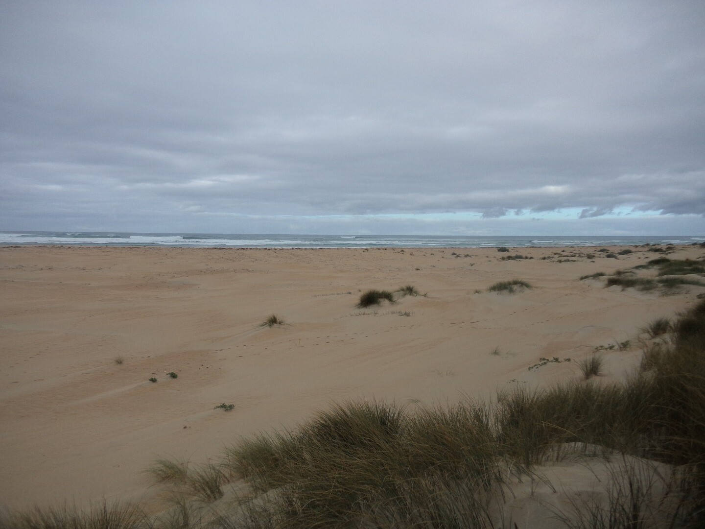
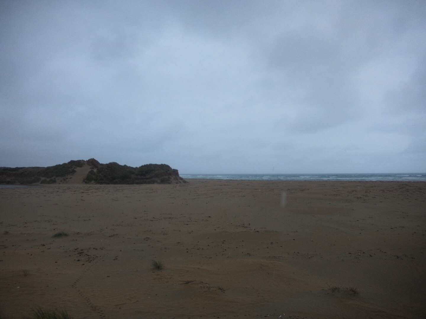
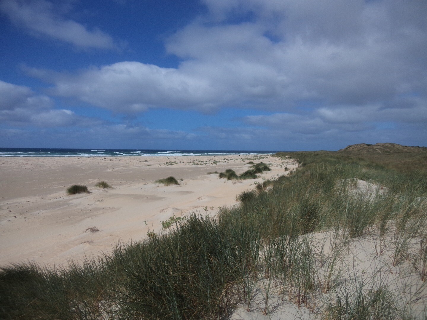
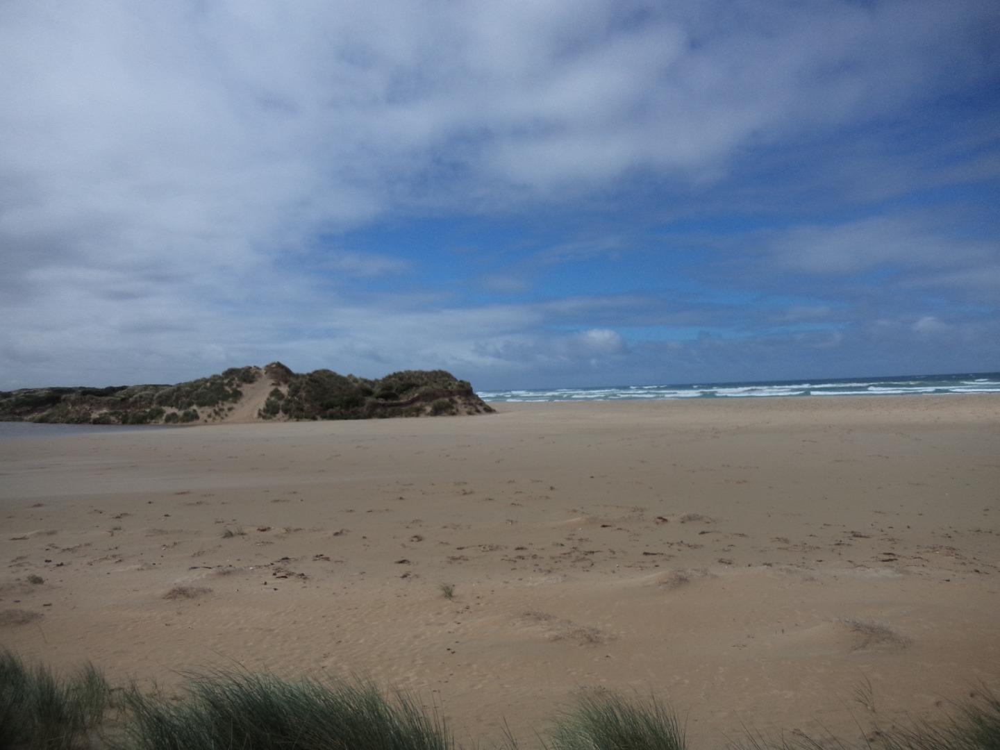
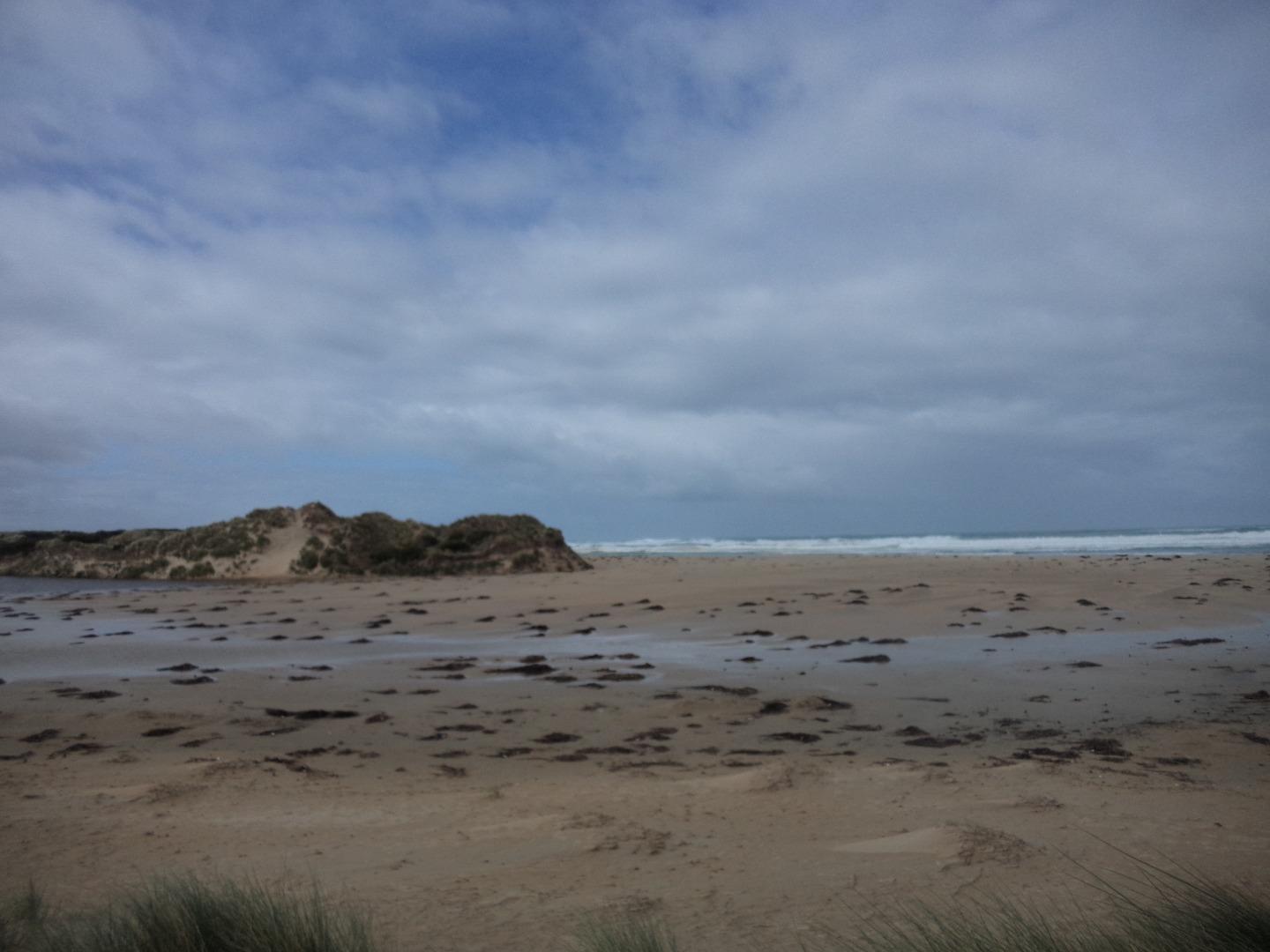
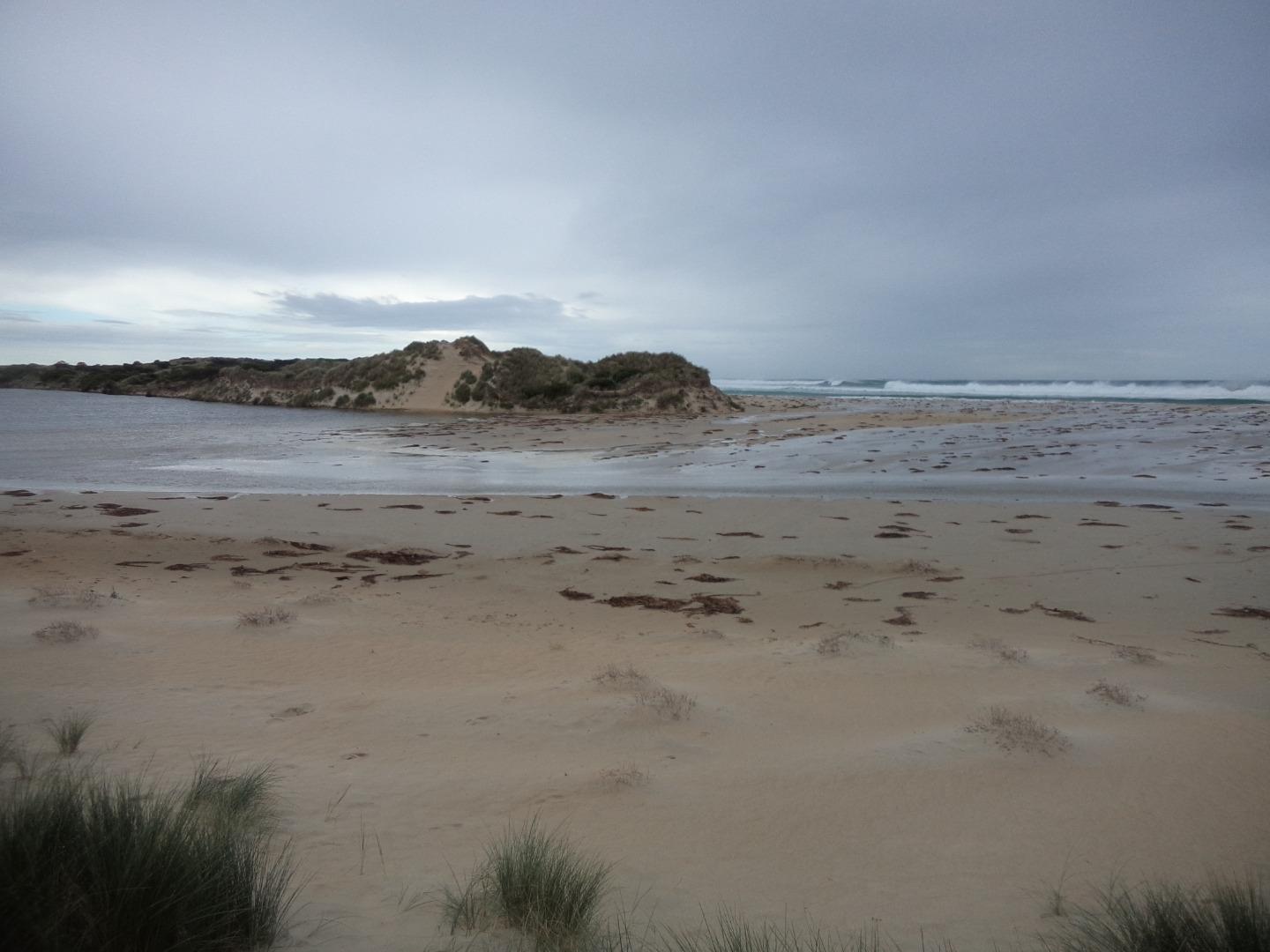
Photopoint Mp2 15-01-2024
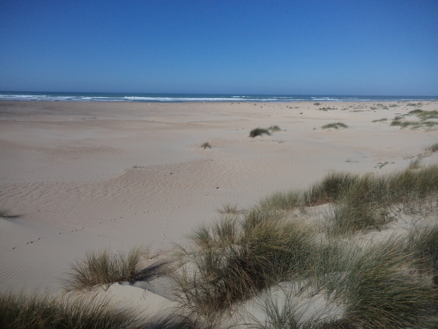
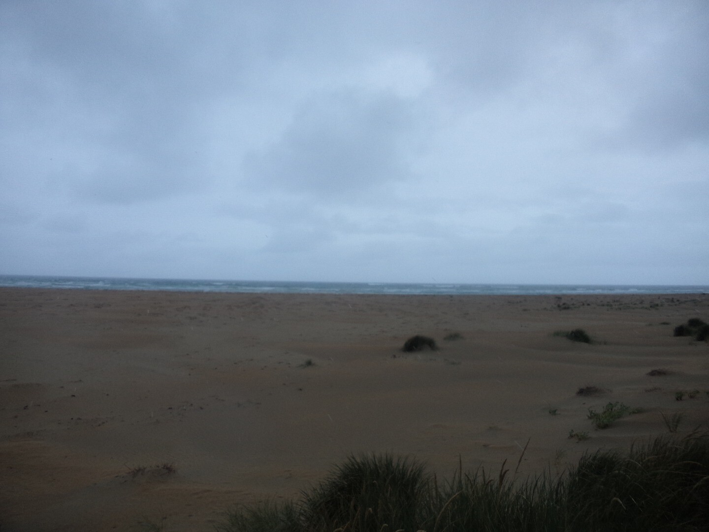
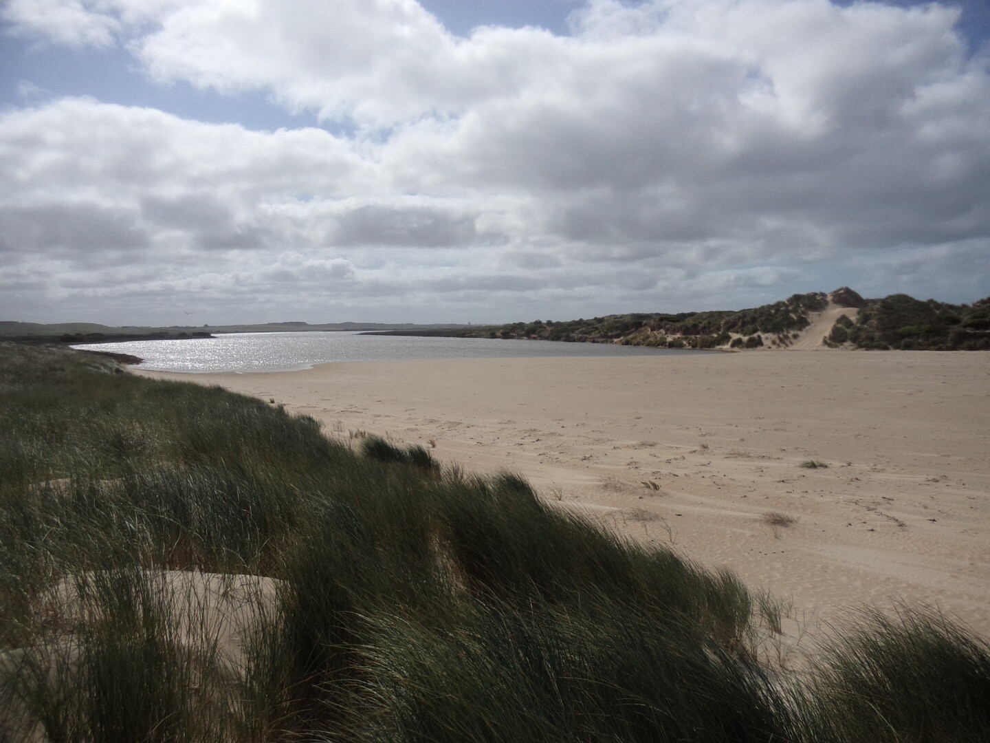
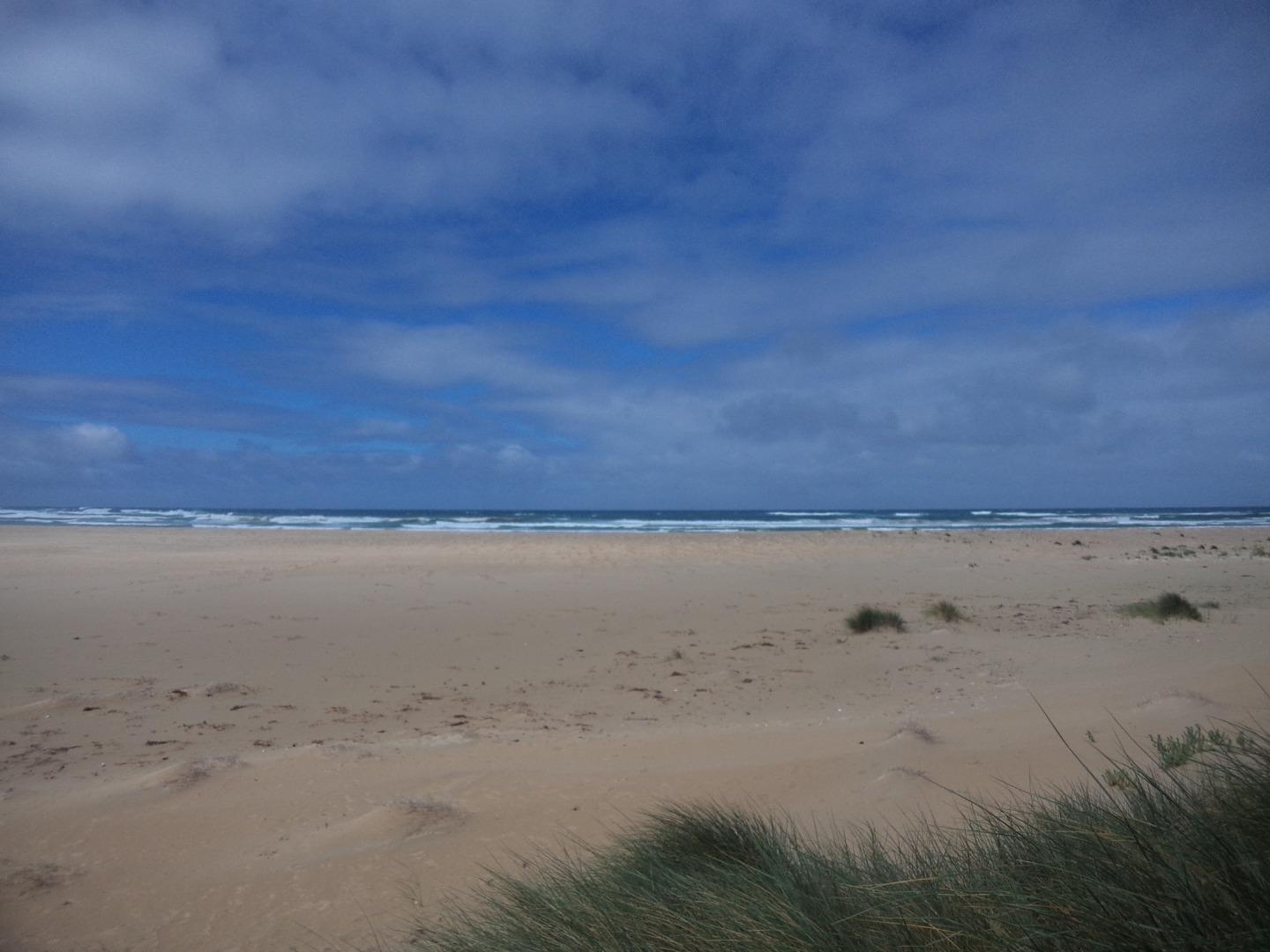
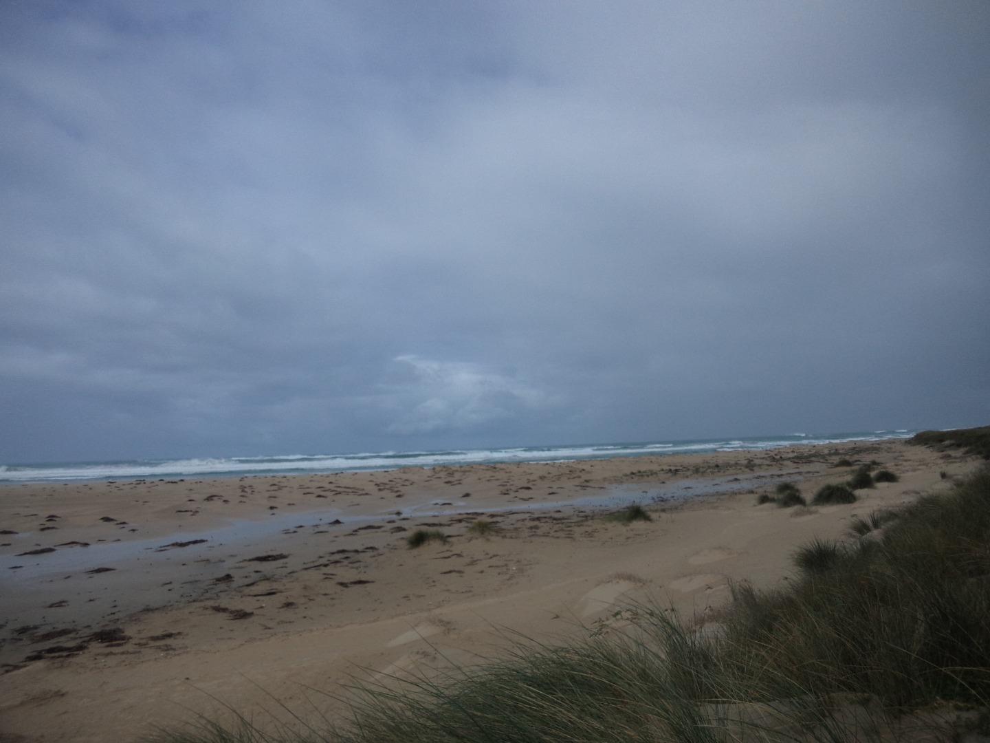
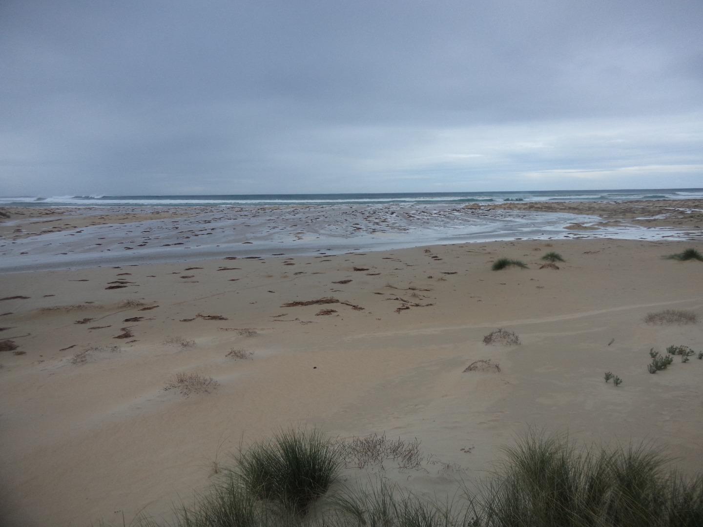
Photopoint Mp2 15-12-2023
Photopoint Mp2 15-11-2023
Photopoint Mp2 15-10-2023
Photopoint Mp2 18-09-2023
Photopoint Mp2 17-06-2023

All content, files, data and images provided by the EstuaryWatch Data Portal and Gallery are subject to a Creative Commons Attribution License
Content is made available to be used in any way, and should always attribute EstuaryWatch and www.estuarywatch.org.au