EstuaryWatch Data Portal
Overview
| Estuary name | Barham River Estuary |
|---|---|
| CMA | Corangamite CMA |
| Description |
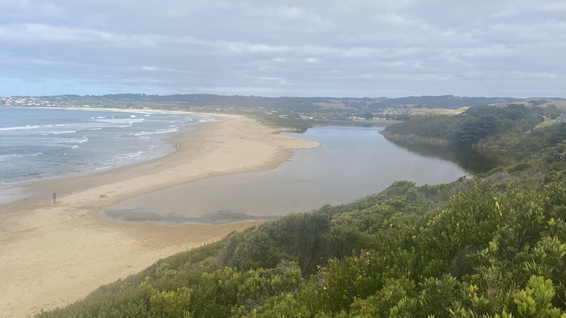
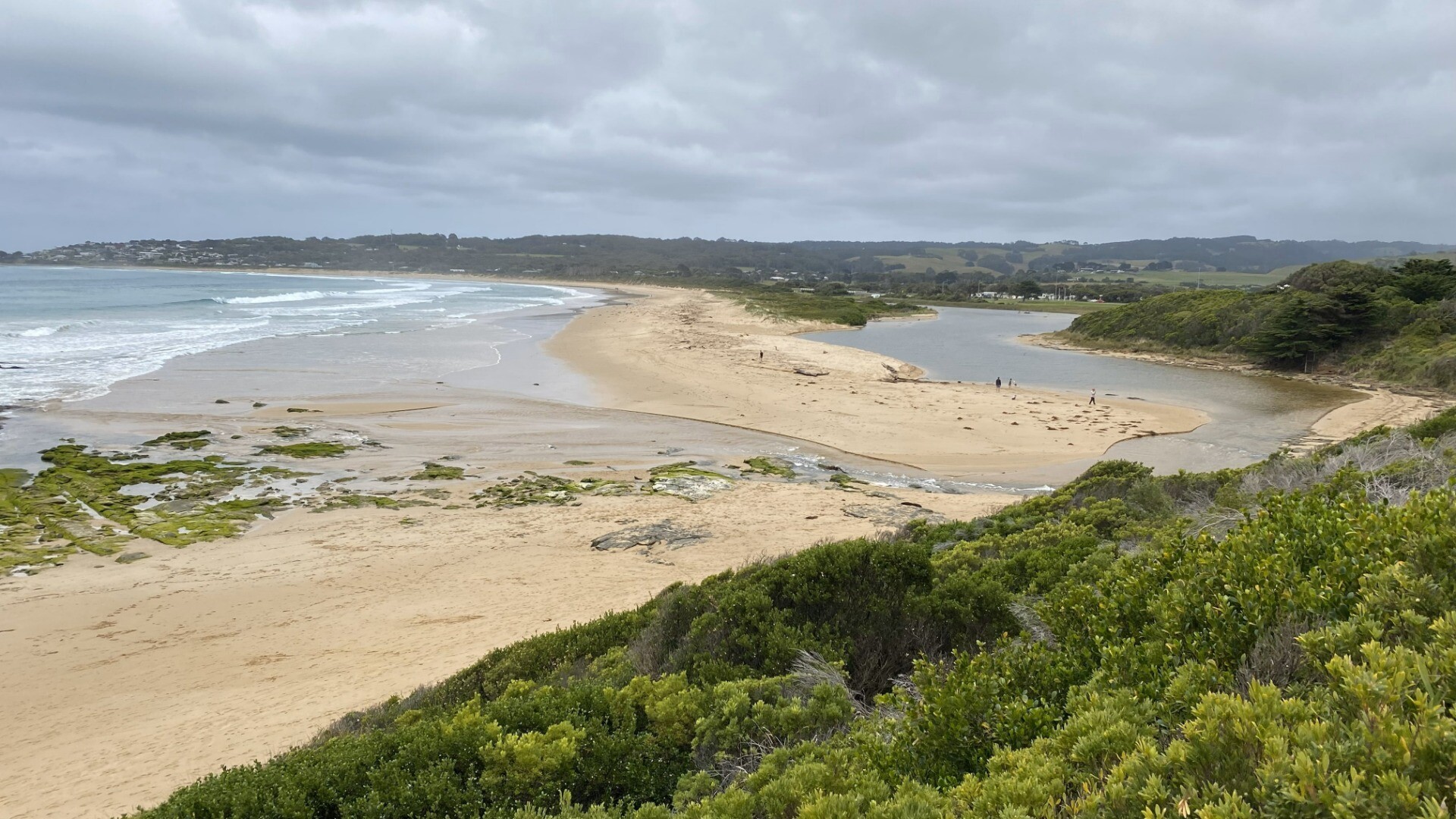
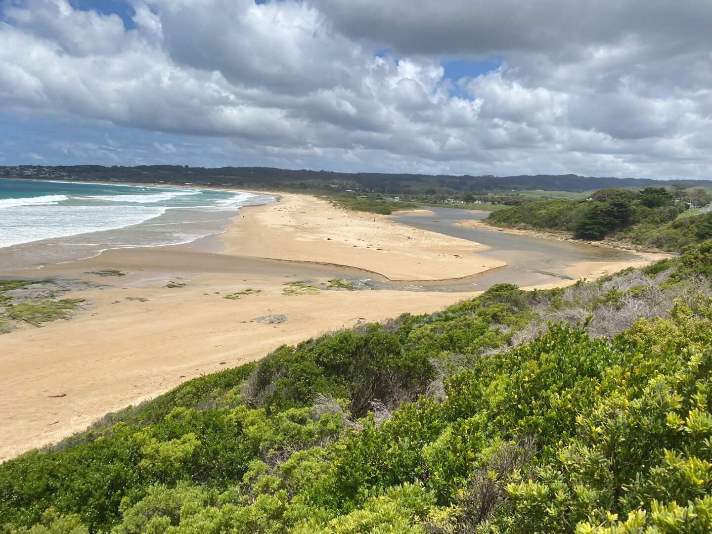
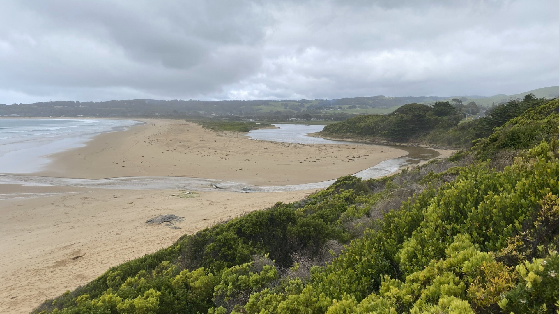
The Barham enters the sea between Apollo Bay and Marengo after meandering across a broad tidal waterway, an uncommon river style within the region. The Barham River Estuary is 2.980km in length, with a catchment area of 192.1Ha that contains several geologically significant sites. |
| Estuary Values |
|
| Estuary Threats |
|
| Data | Site observations |
| Status | Active |
| Monitor group | Barham EstuaryWatchers |
| Document | Barham River Estuary Fact Sheet |
Sites
| Site details | Options |
|---|---|
BM1 - P Barham BM1- Phys/ChemActive Physico-Chemical 12-12-2018 - 03-04-2019 |
Observations 5 |
BM2-P Barham BM2-P Phys/ChemActive Physico-Chemical 12-12-2018 - 03-04-2019 |
Observations 5 |
BmGB Barham River Water Level Gauge BoardActive Gauge BoardThe water level gauge board is located on the eastern river bank beside the Great Ocean Road bridge. |
|
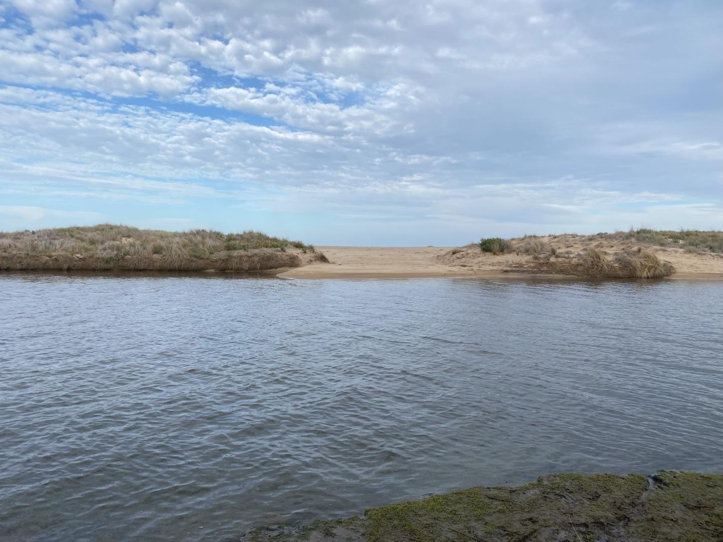
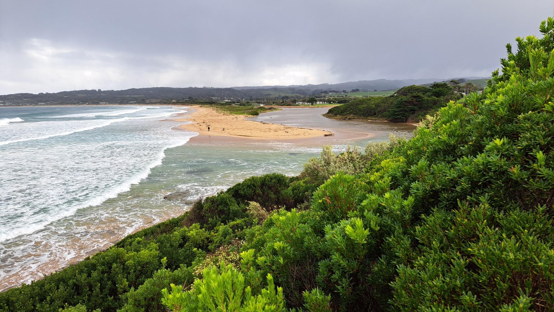
BmMC Barham River Observation SiteActive Mouth Condition 23-05-2008 - 21-03-2024Fence corner 17th hole. |
Observations 154 |
BmP1 Barham River P1- Golf CourseRetired Photopoint 02-04-2010 - 21-03-2019Fence corner 17th hole. |
Photos 71 |
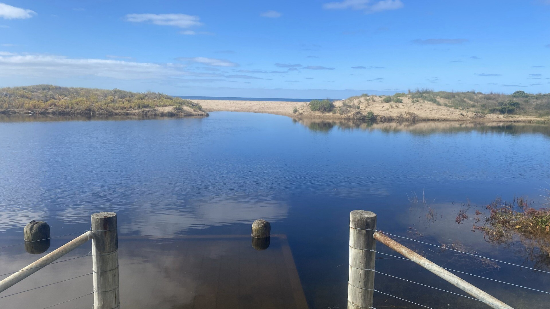
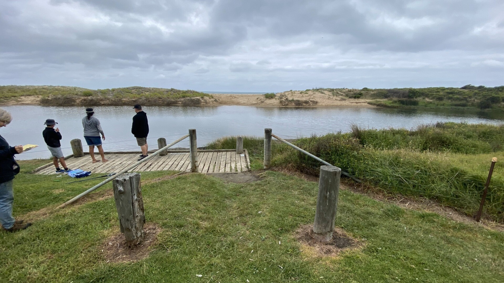
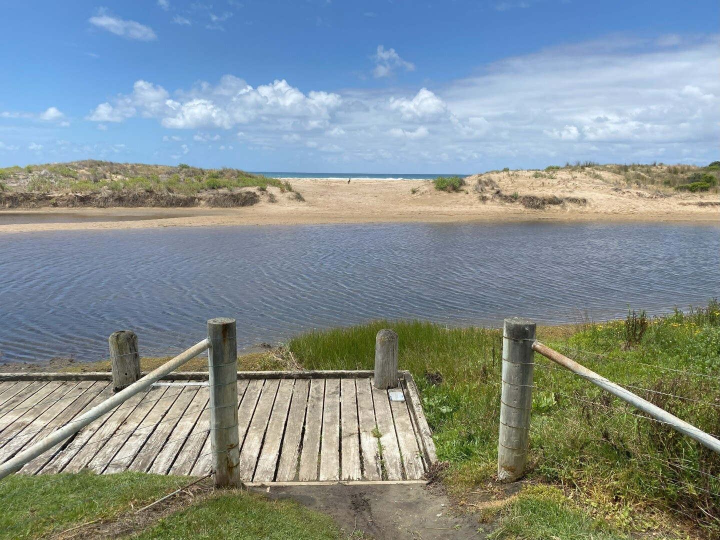
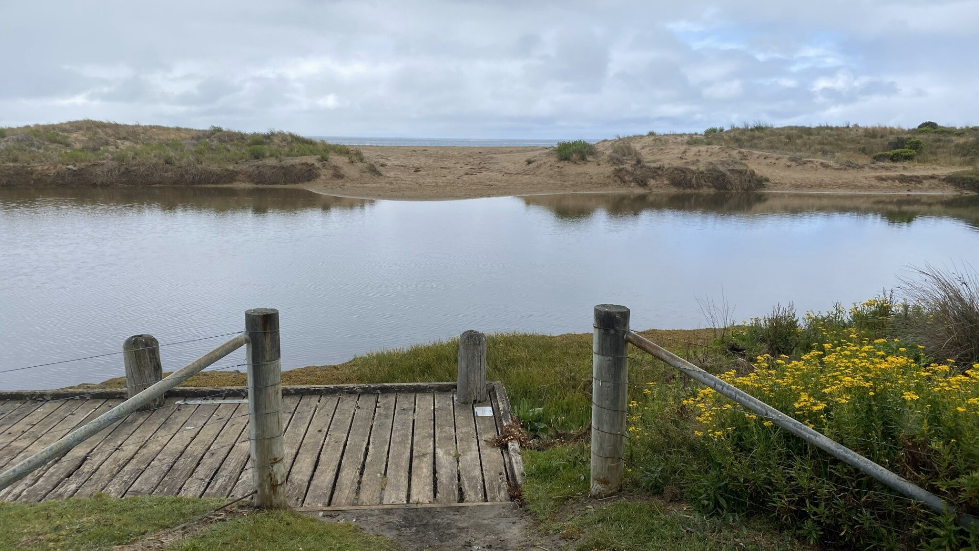
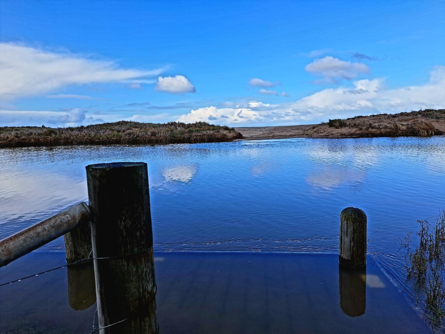
BmP2 Barham River P2- Ocean RoadActive Photopoint 29-08-2010 - 22-03-2024Fishing platform |
Photos 133 |
BmP3 Barham River P3- Golf CourseActive Photopoint 01-01-2013 - 22-03-2024Enter via walking track from the carpark at the corner of Gambier and Trafalgar Street. Follow the track to the 6th hole of the golf course. |
Photos 165 |
Mouth Condition Snapshots
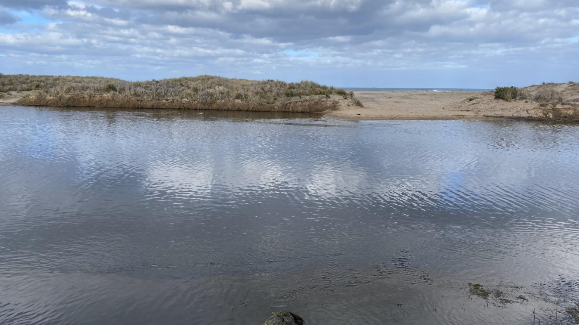
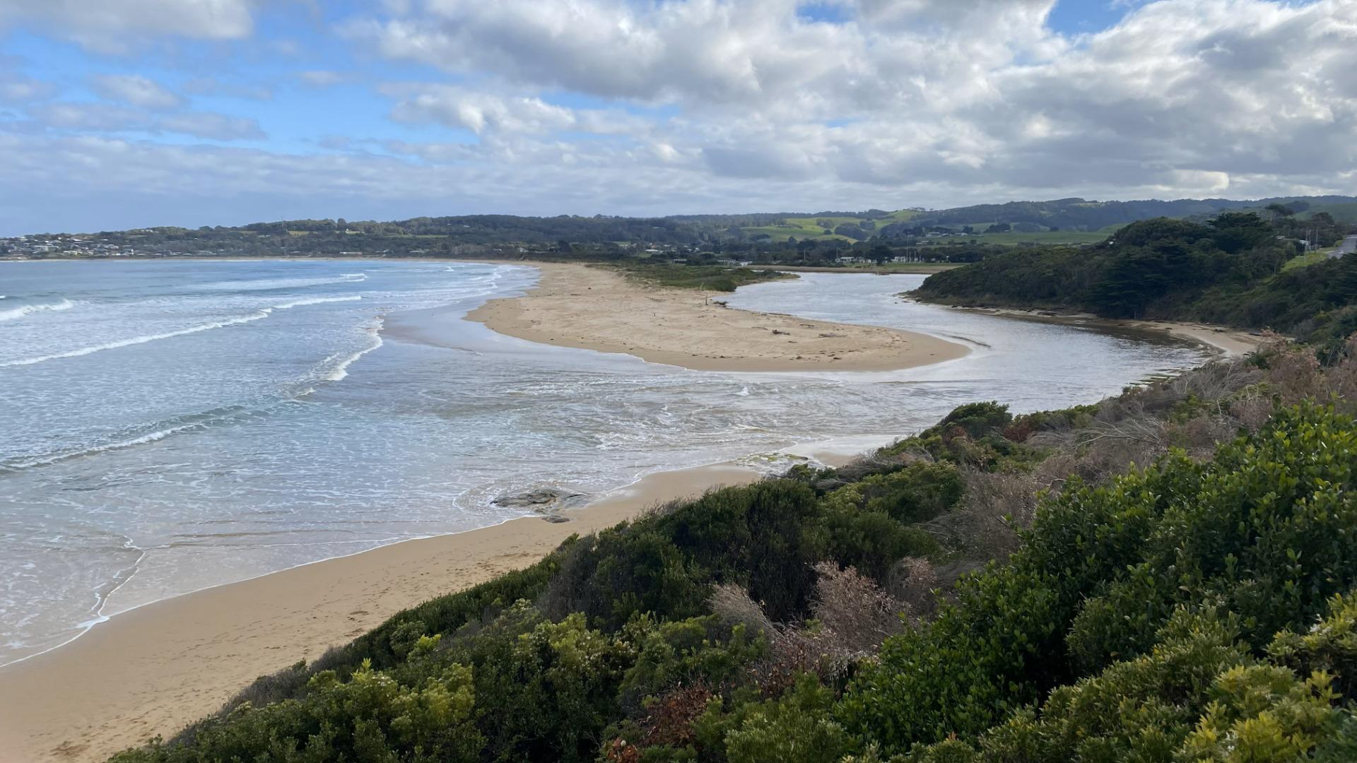
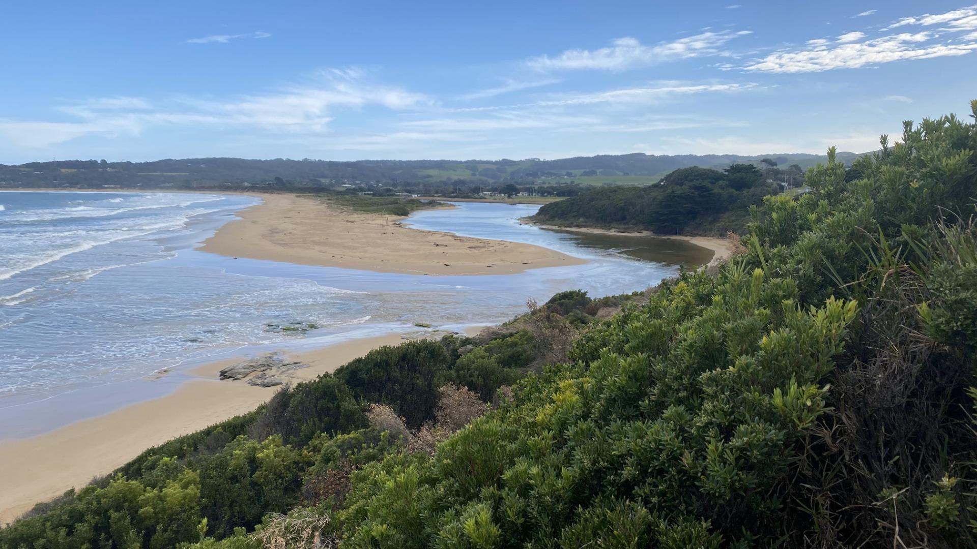
21-03-2024 #16064
Photopoint BmP2-1
Photopoint BmP3-1
19-01-2024 #15987
Photopoint BmP3-1
Photopoint BmP2-1
19-12-2023 #15941
Photopoint BmP3-1
Photopoint BmP2-1
18-11-2023 #15869
Photopoint BmP2-1
Photopoint BmP3-1
20-08-2023 #15720
Photopoint BmP2-1
Photopoint BmP3-1
19-07-2023 #15665
Photopoint BmP2-1
Photopoint BmP3-1
19-06-2023 #15591
Photopoint BmP2-1
Photopoint BmP3-1

All content, files, data and images provided by the EstuaryWatch Data Portal and Gallery are subject to a Creative Commons Attribution License
Content is made available to be used in any way, and should always attribute EstuaryWatch and www.estuarywatch.org.au