EstuaryWatch Data Portal
Overview
| Estuary name | Merri River Estuary |
|---|---|
| CMA | Glenelg Hopkins CMA |
| Description |
The Merri Estuary is located near Warrnambool in southwest Victoria. The river has two openings to the sea, both artificially modified. In 1859, the course of the Merri River was diverted in an attempt to prevent sedimentation in Lady Bay (Gill 1984). The main channel of the Merri River now discharges into the sea at Stingray Bay east of Pickering Point. |
| Estuary Values | |
| Estuary Threats | |
| Data | Site observations |
| Status | Active |
| Monitor group | Merri River EstuaryWatch Group |
Sites
| Site details | Options |
|---|---|
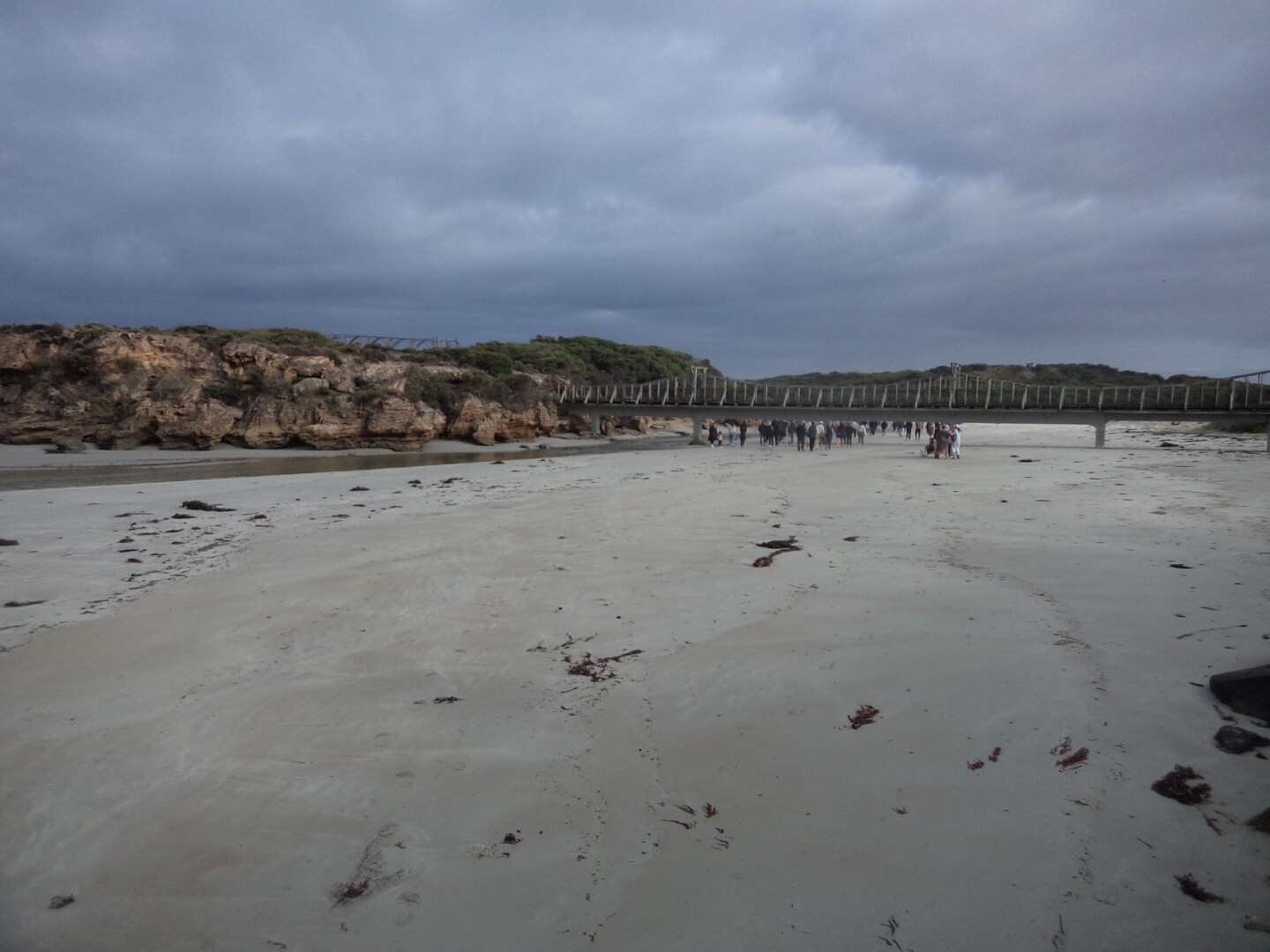
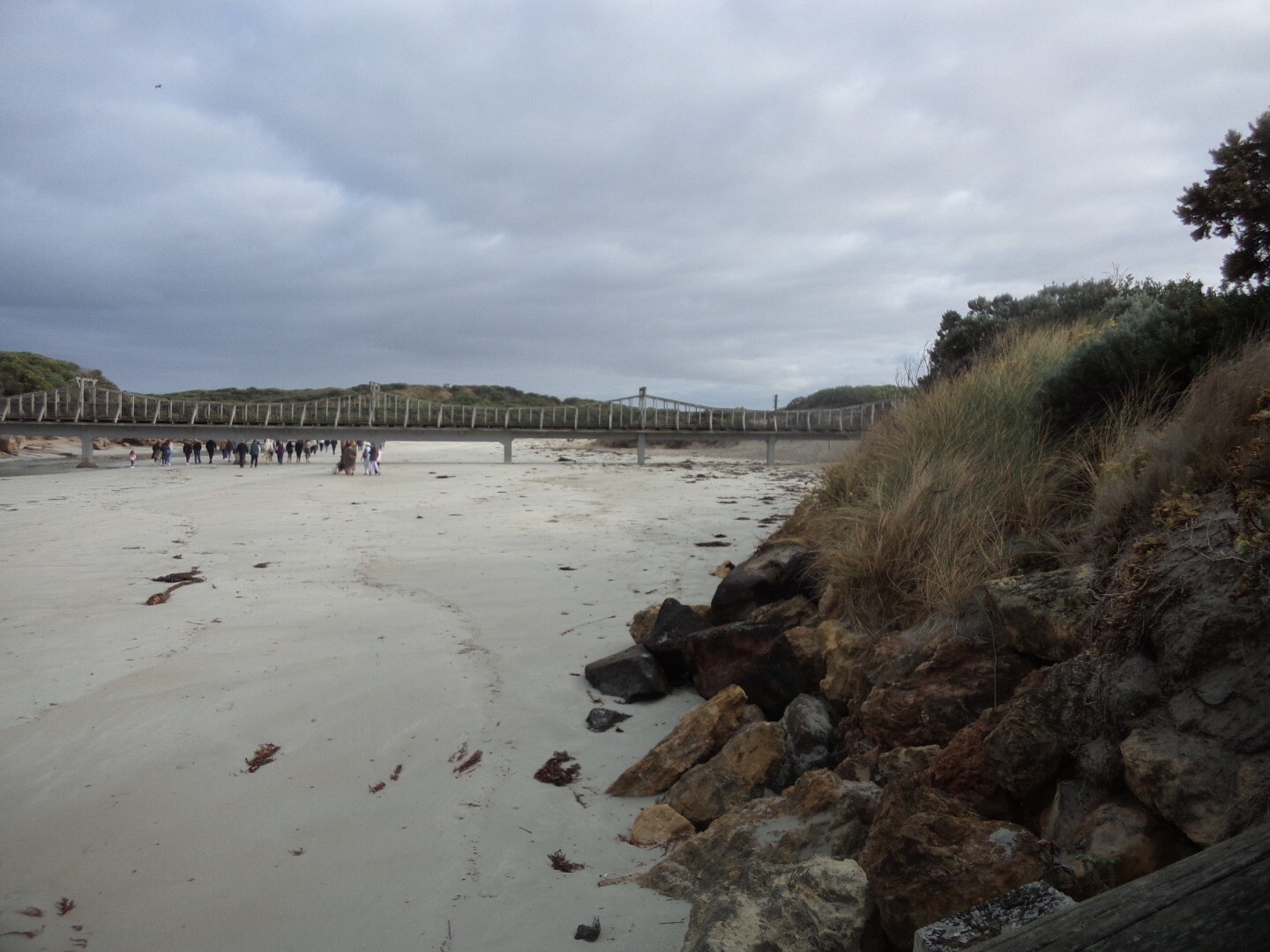
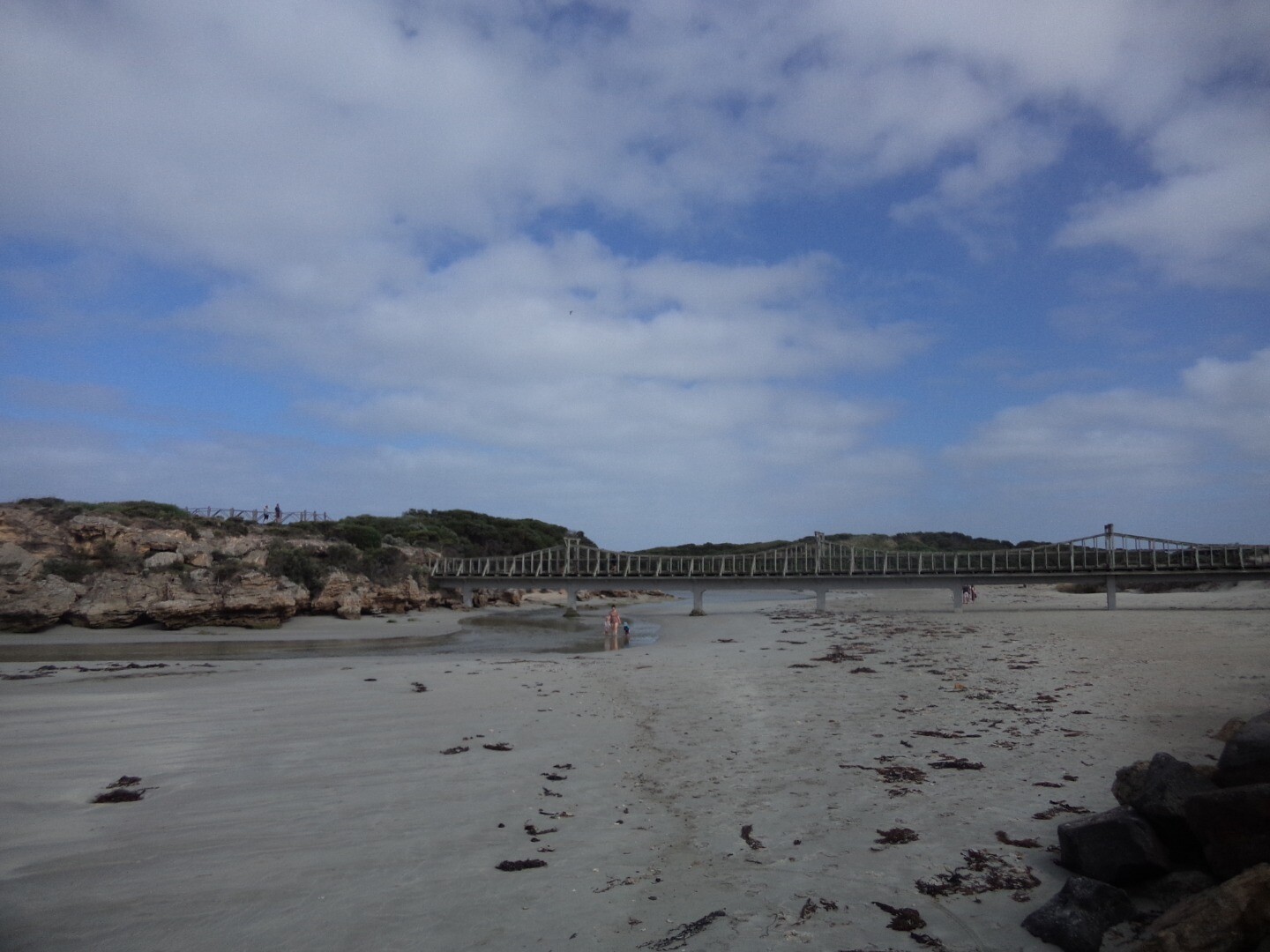
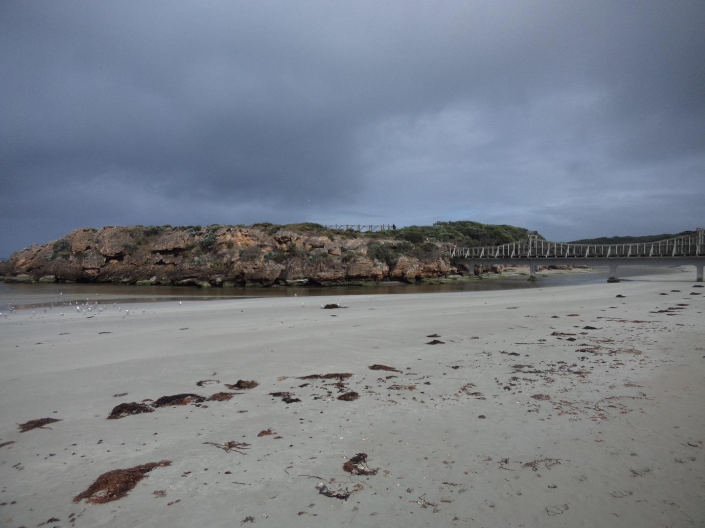
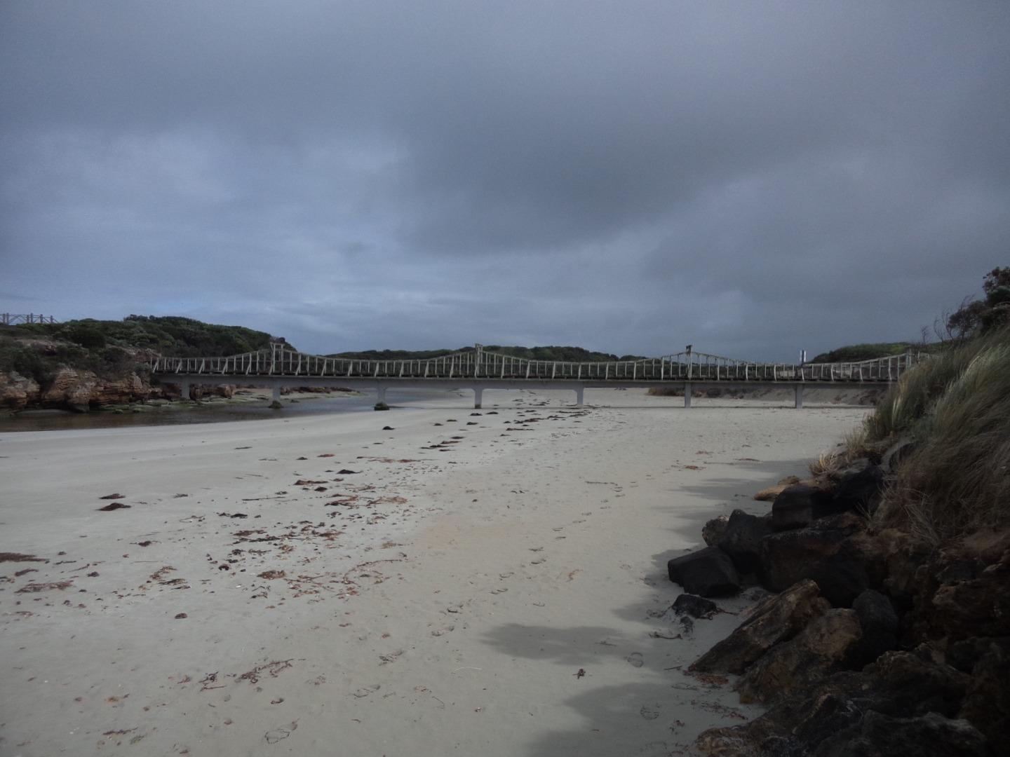
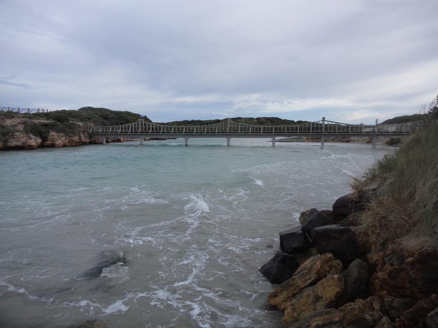
M1 Stanley StreetActive Physico-Chemical 27-10-2013 - 13-04-2024Monitoring has historically been conducted from pedestrian crossing on the downstream side of Stanley bridge, Warrnambool. In February 2022, this site was moved 100m upstream onto the left bank of the Merri River, with sampling to occur from the new floating pontoon. This change was initiated due to the reconstruction of Edwards bridge in 2022, along with providing safer volunteer access and parking. |
Observations 114 |
M2 Fonterra Floating PontoonActive Physico-Chemical 17-11-2013 - 13-04-2024The floating pontoon at the end of the Esplanade, Warrnambool. |
Observations 114 |
MGB Merri River Water Level Gauge BoardActive Gauge BoardGauge board can be found on the retaining wall downstream of the Stanley Street Bridge. When looking downstream from the pedestrian bridge you will see it on the right. |
|
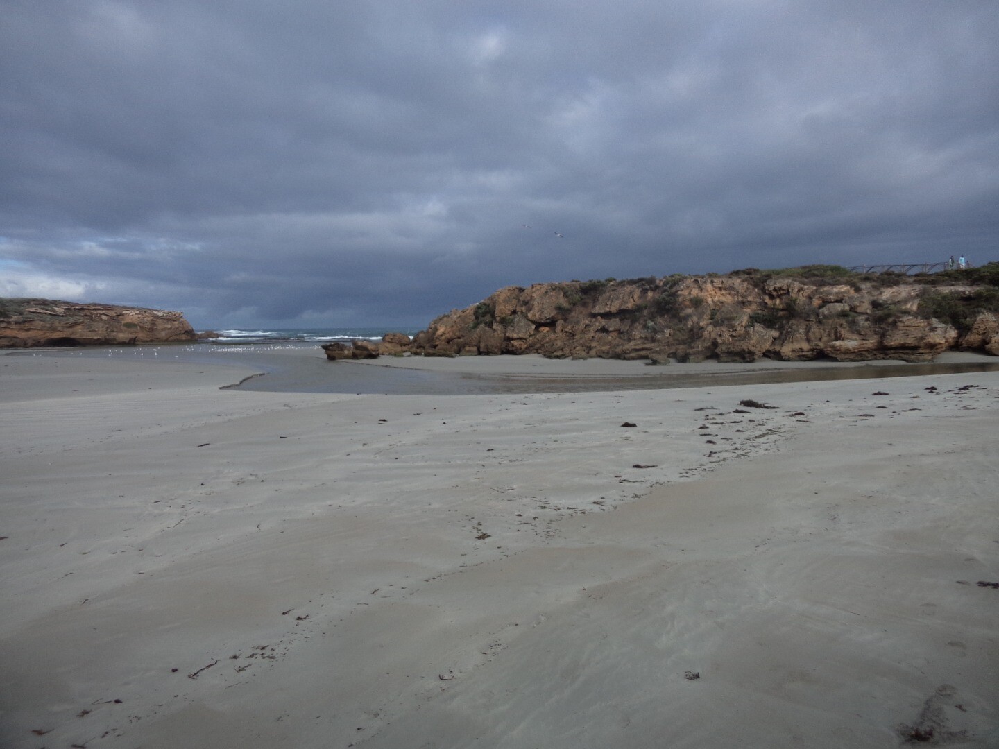
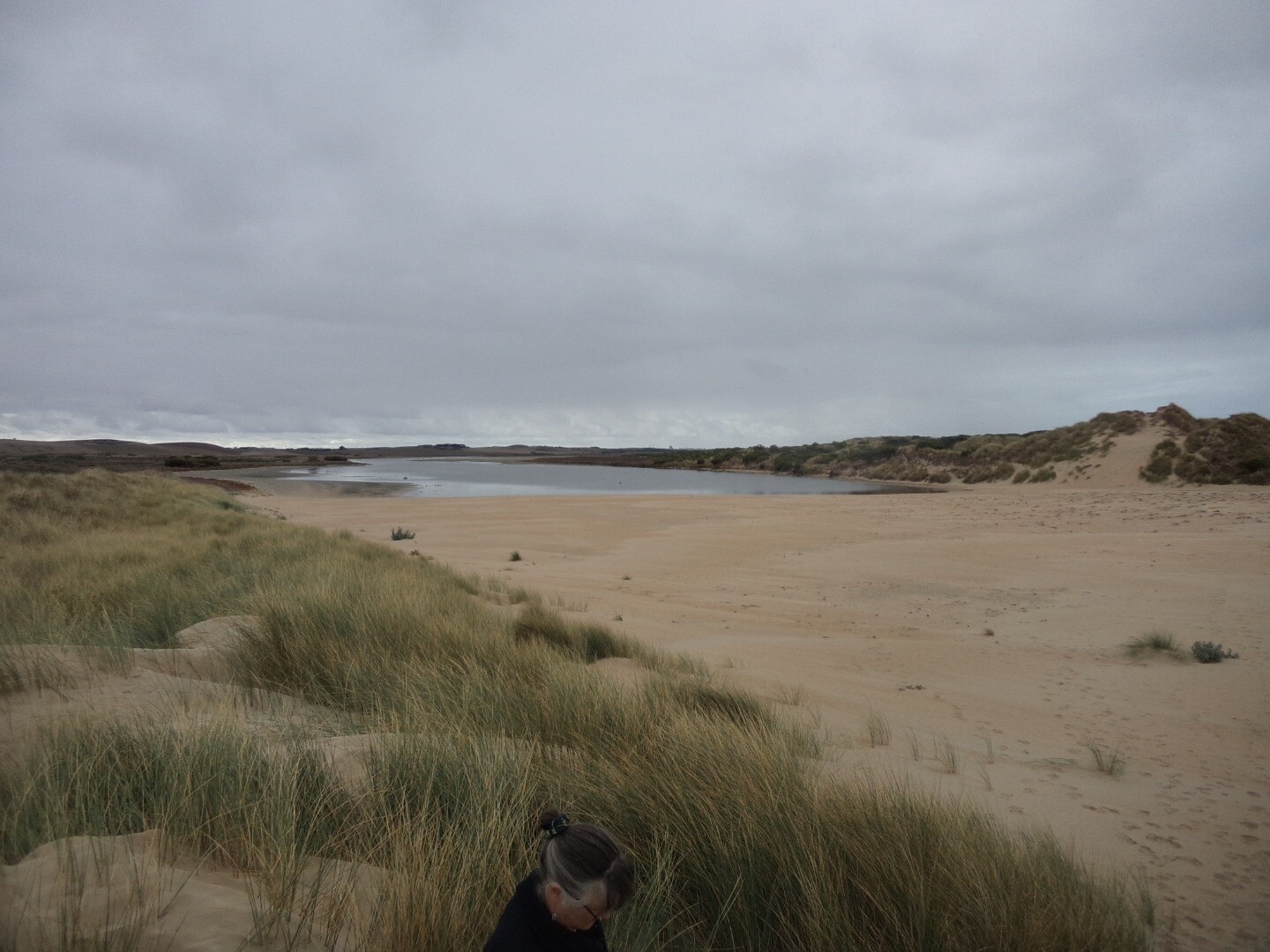
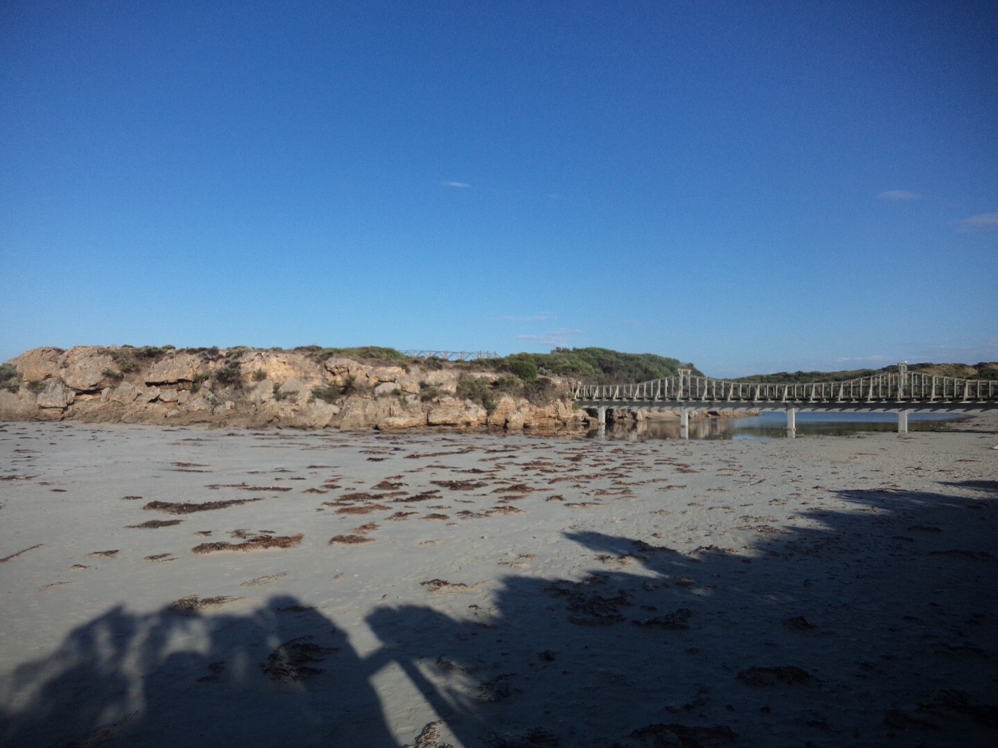
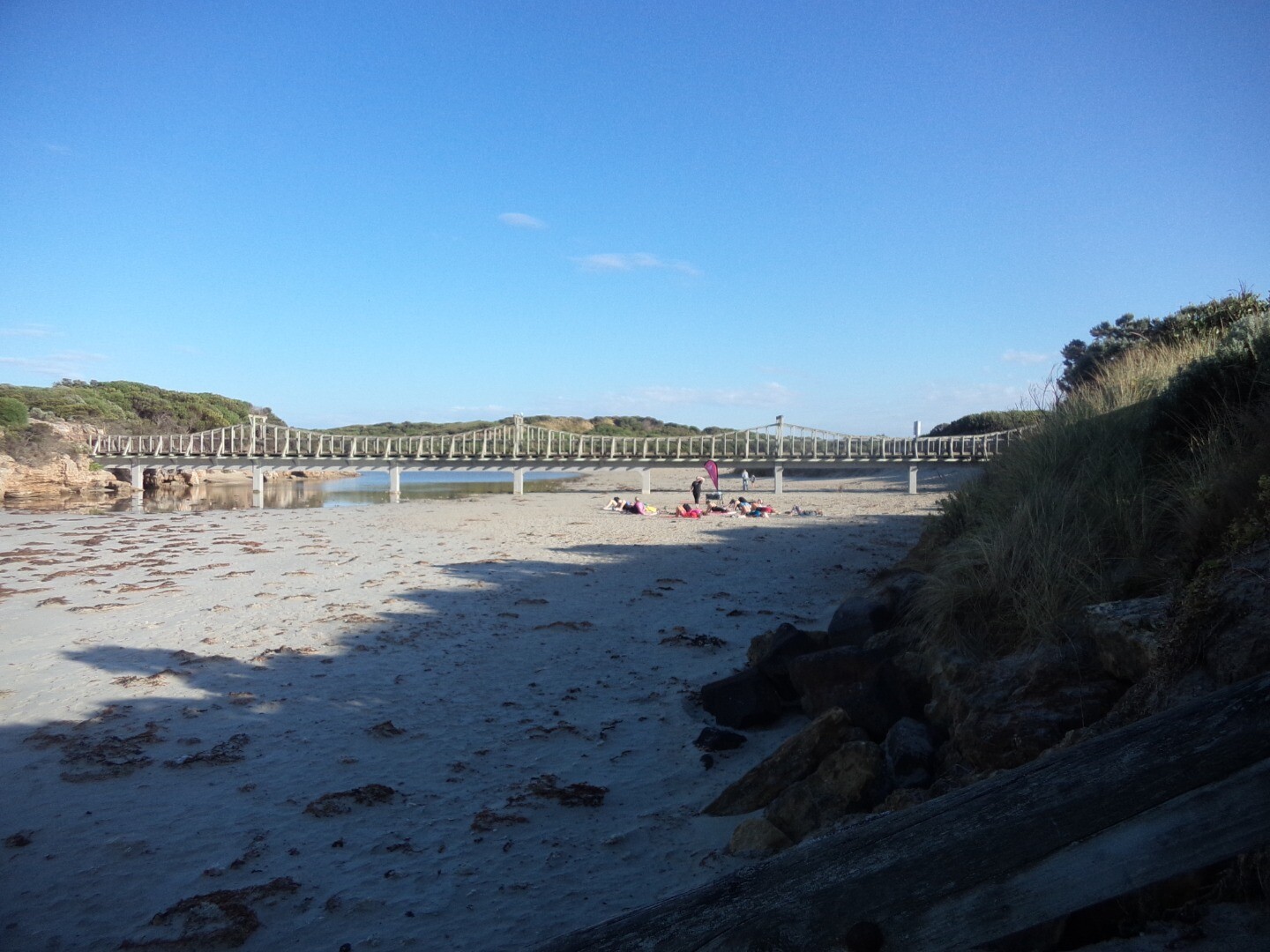
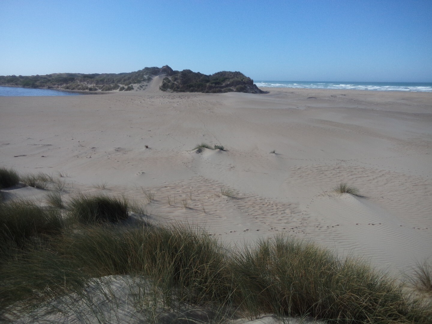
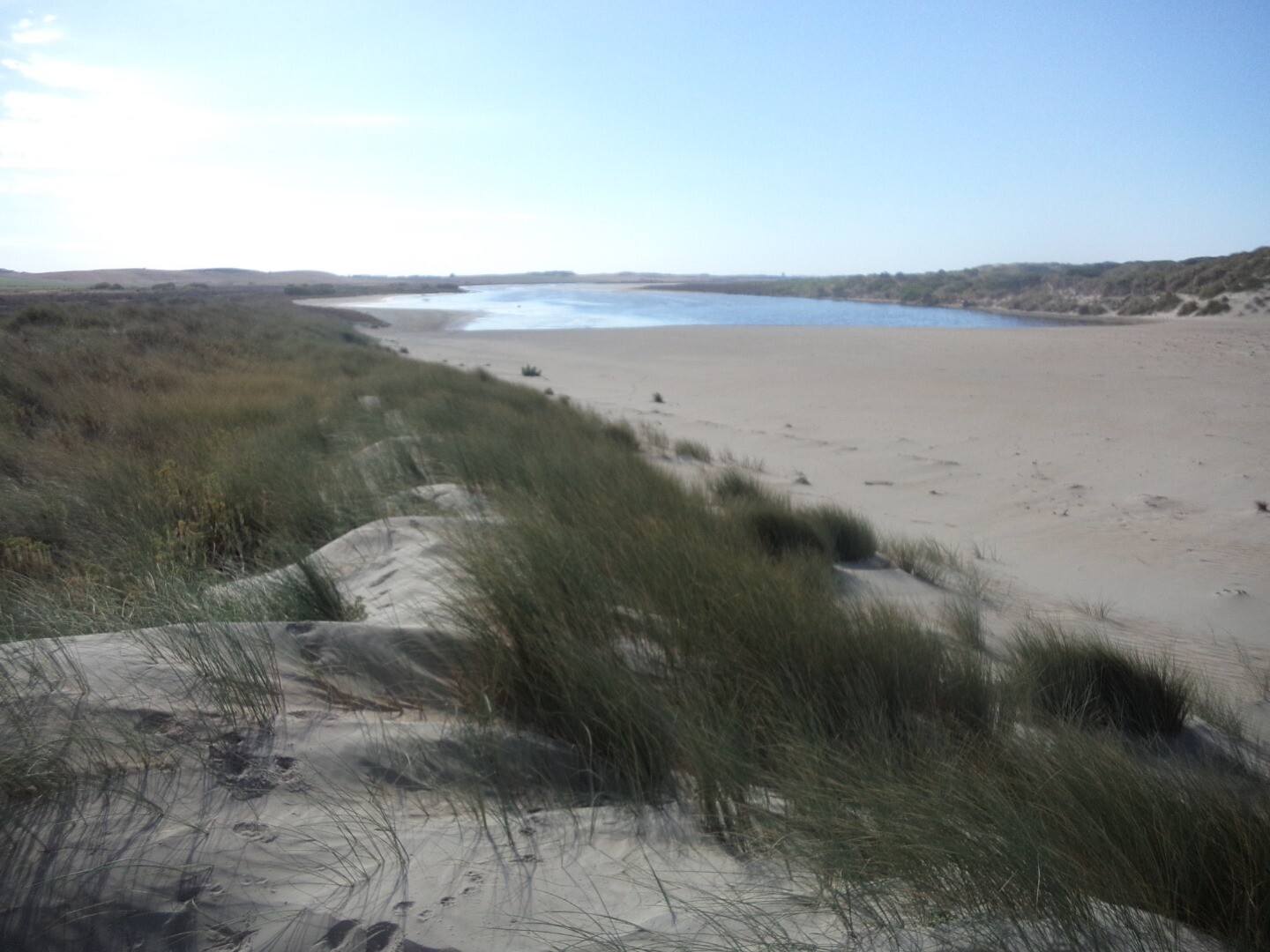
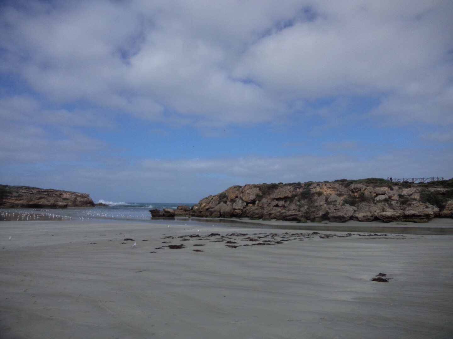
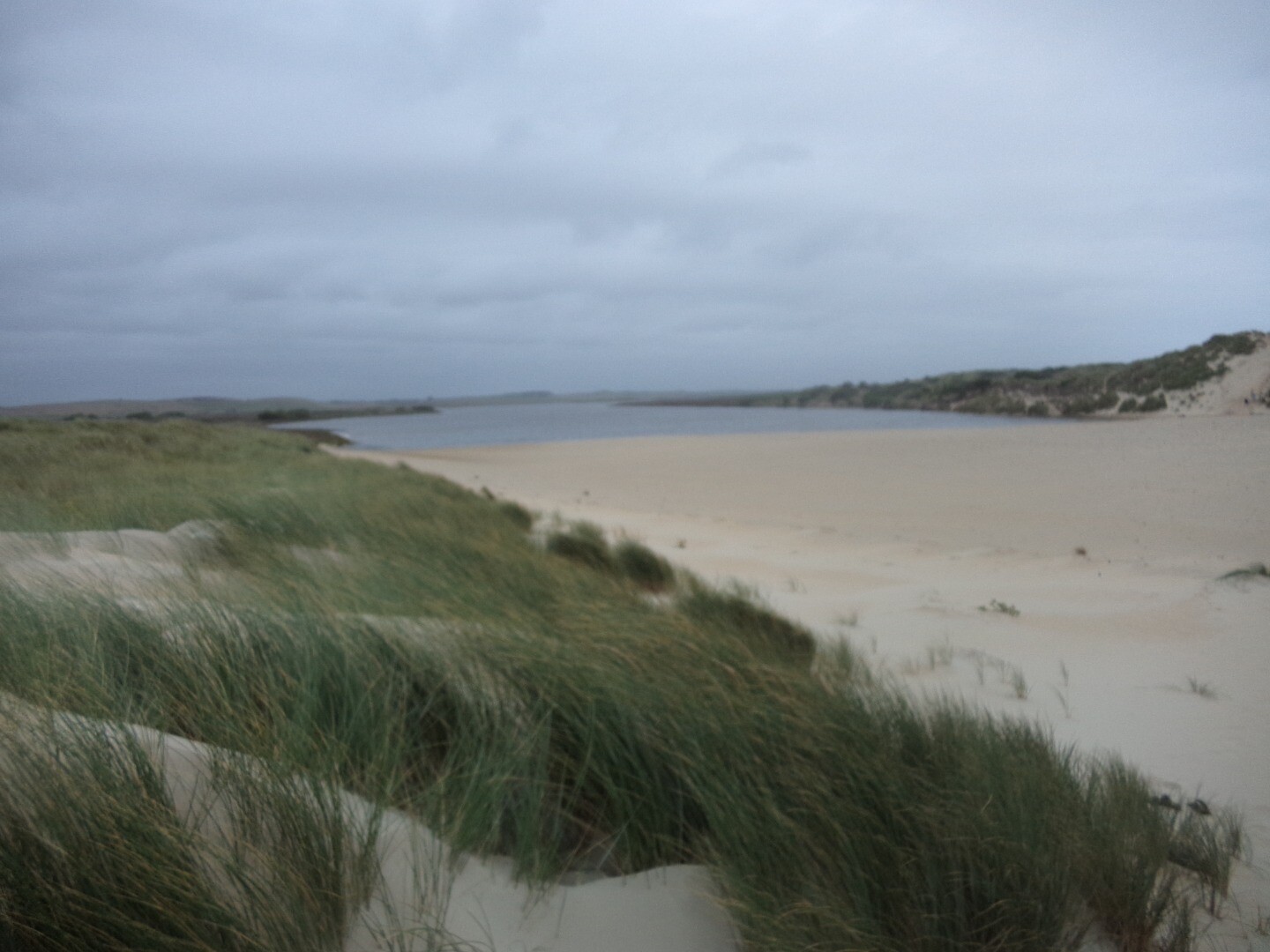
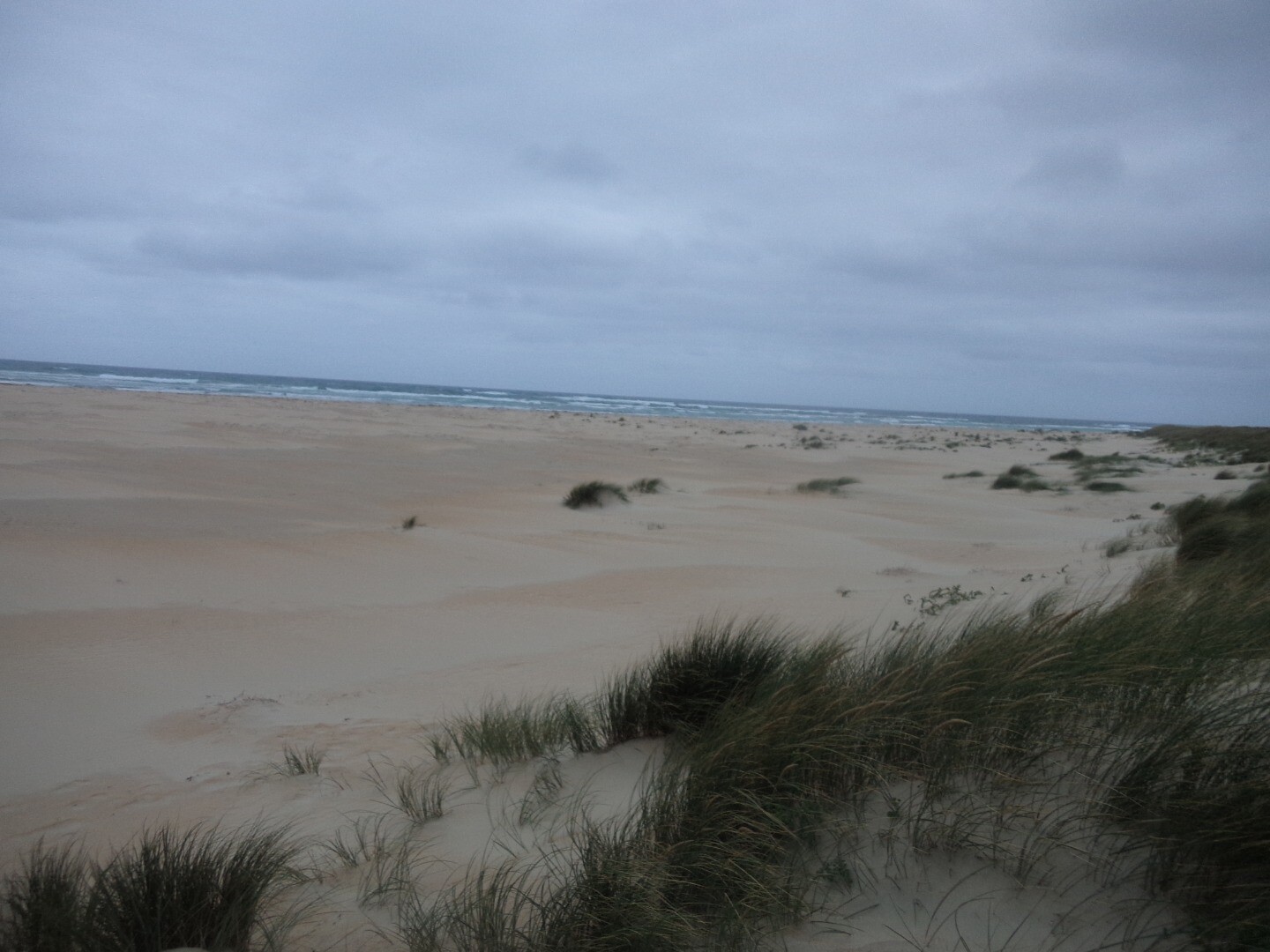
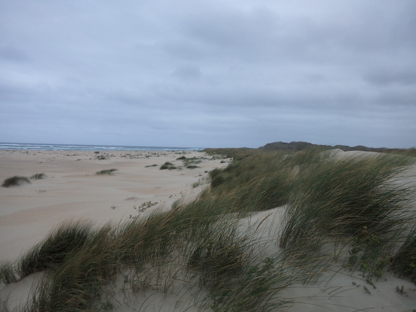
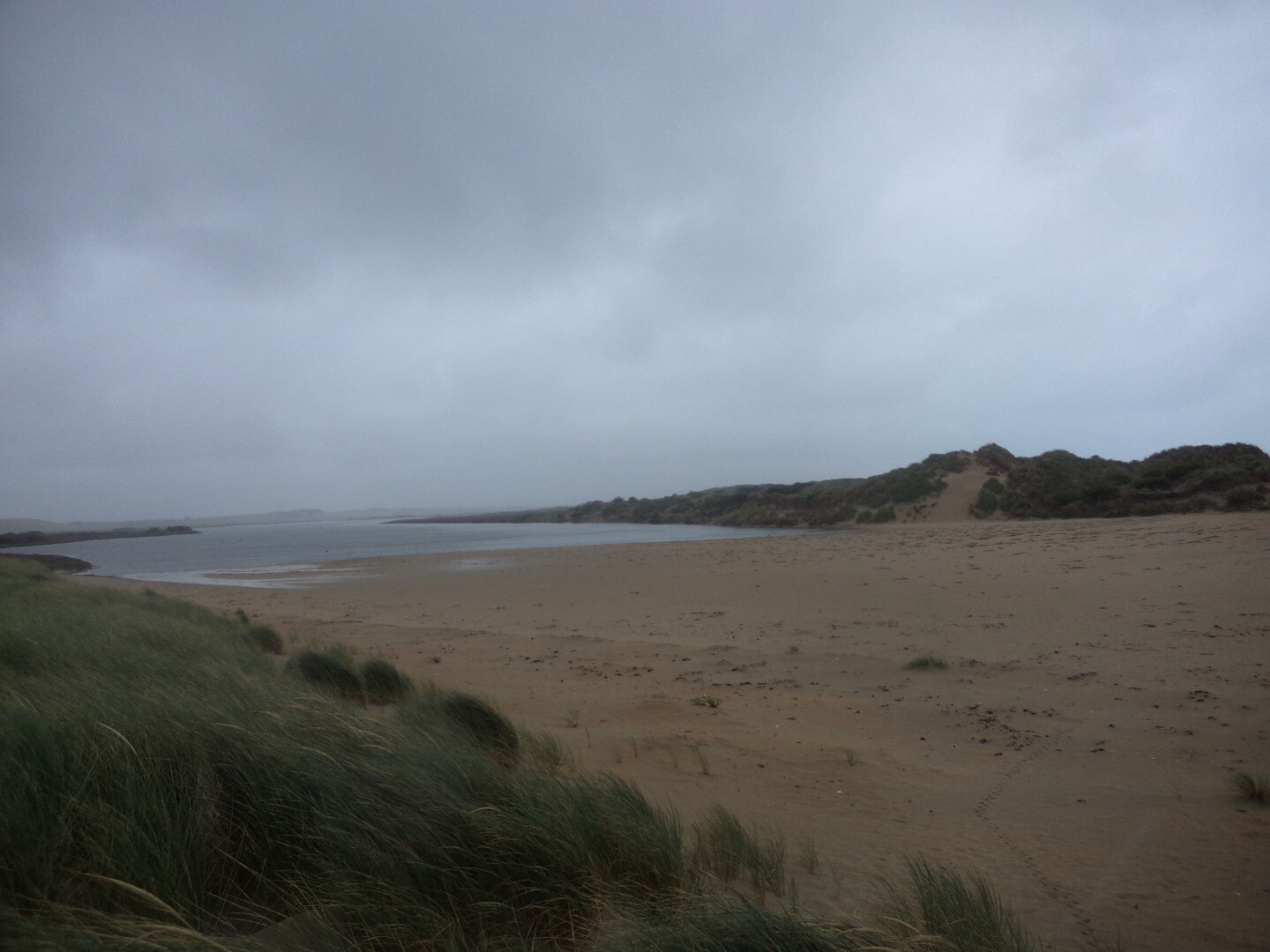
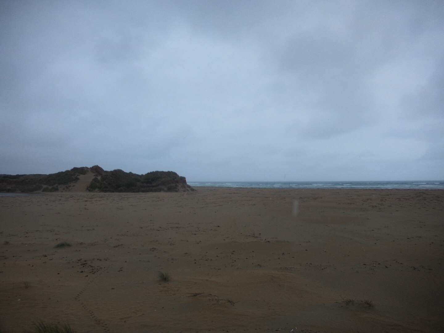
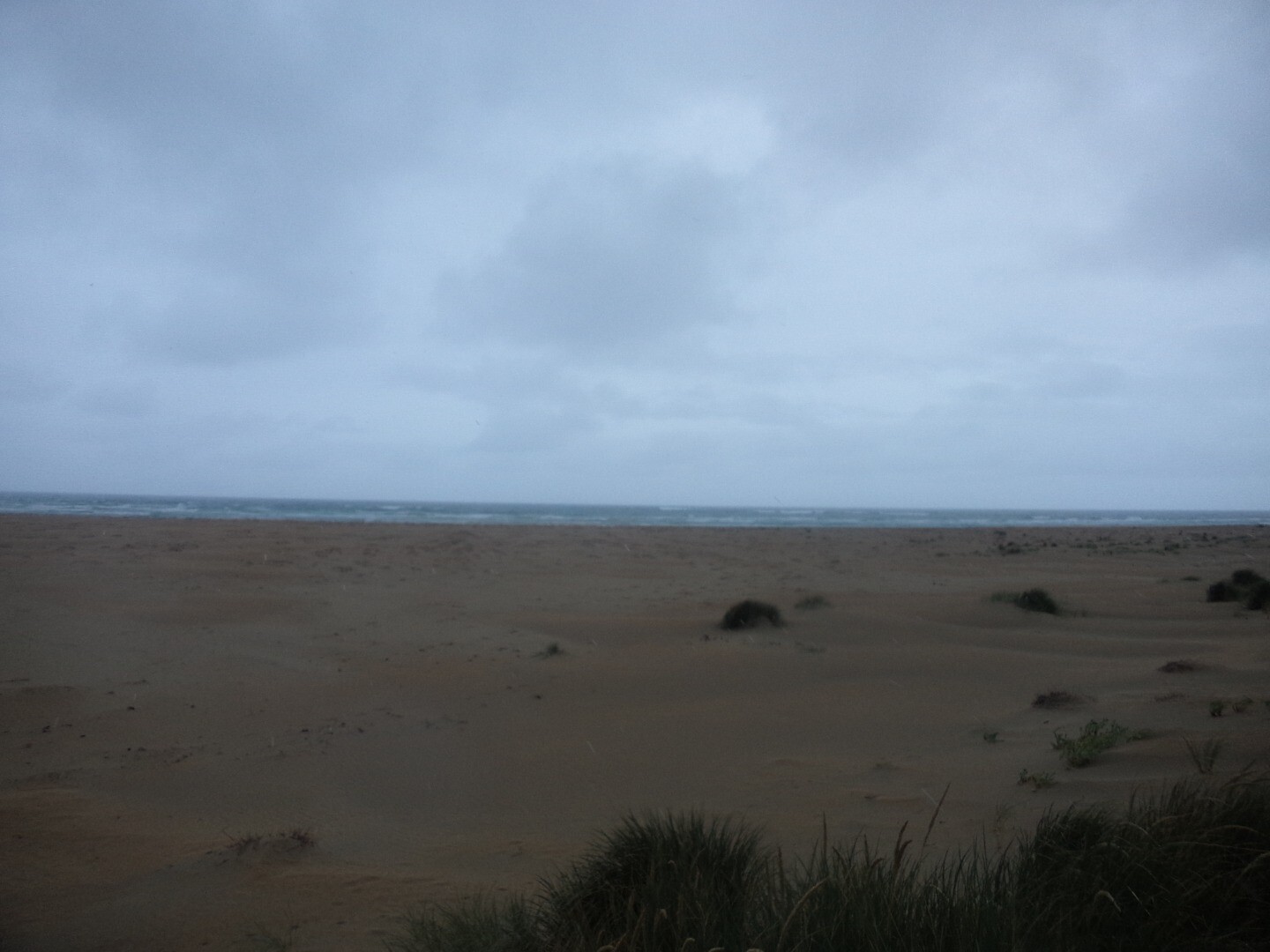
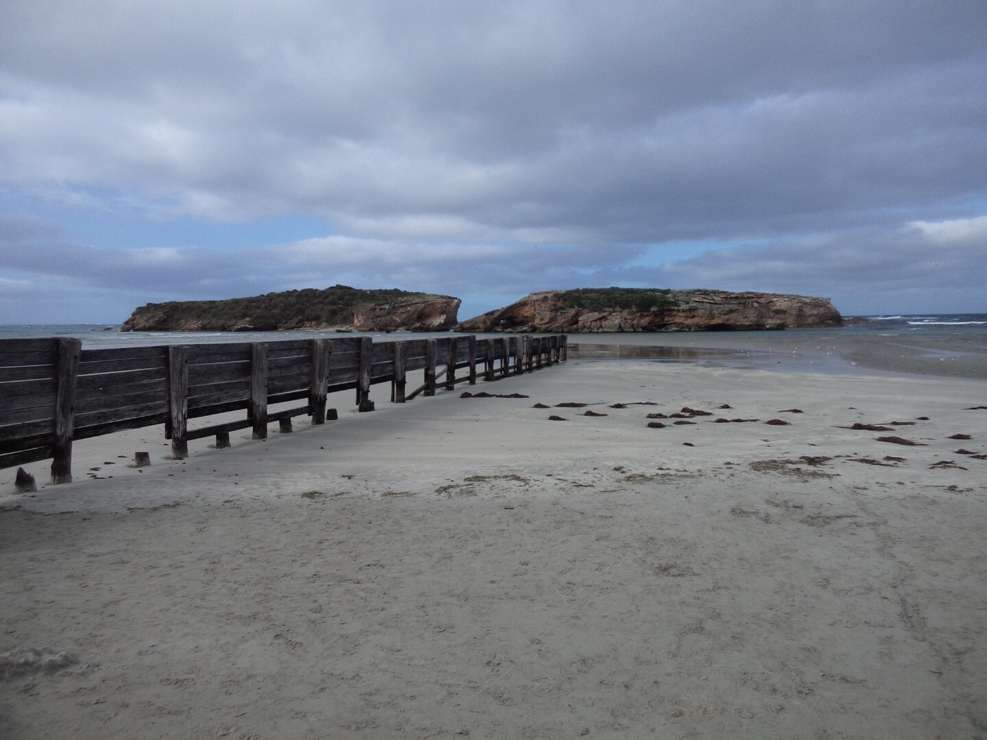
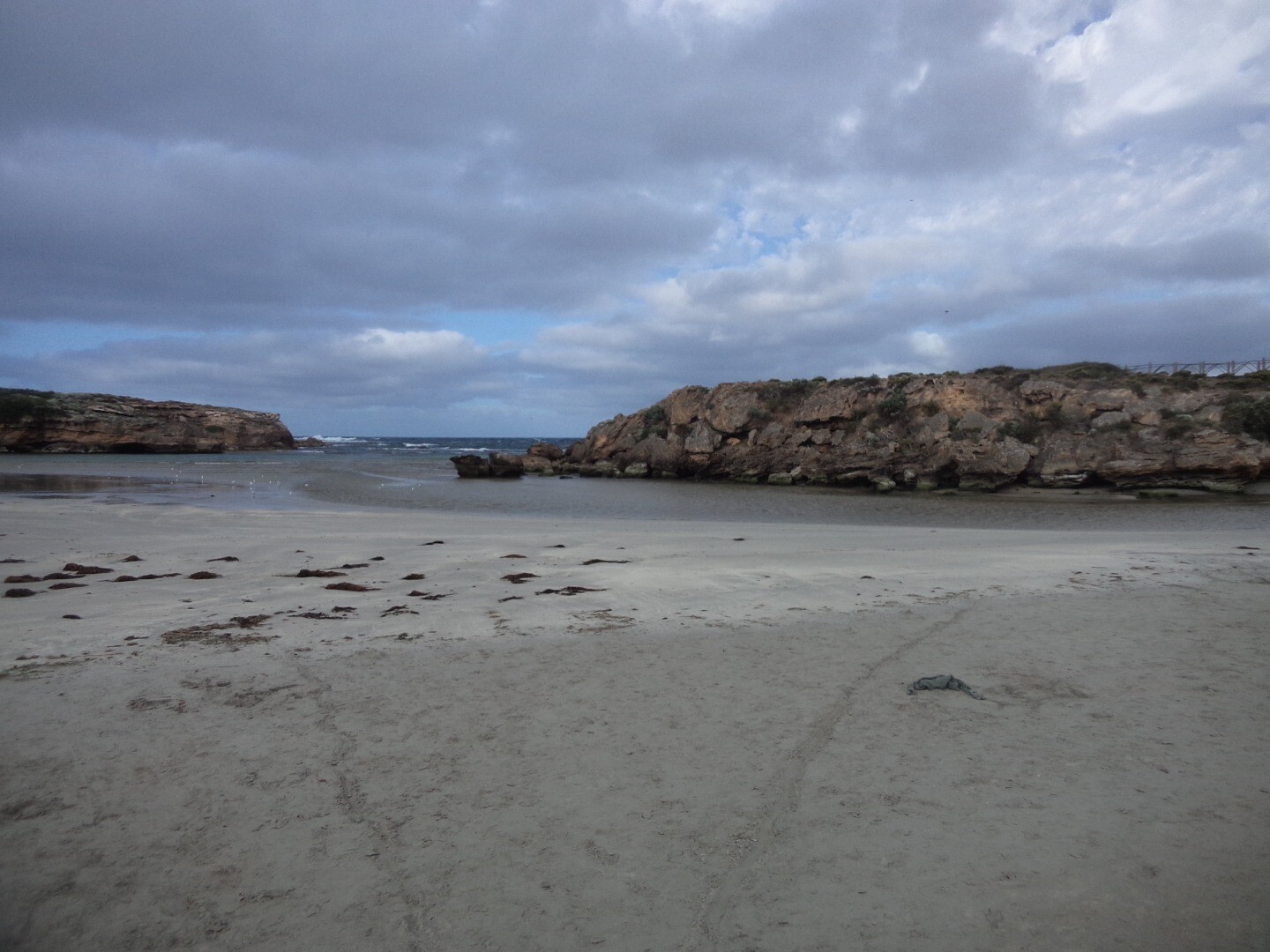
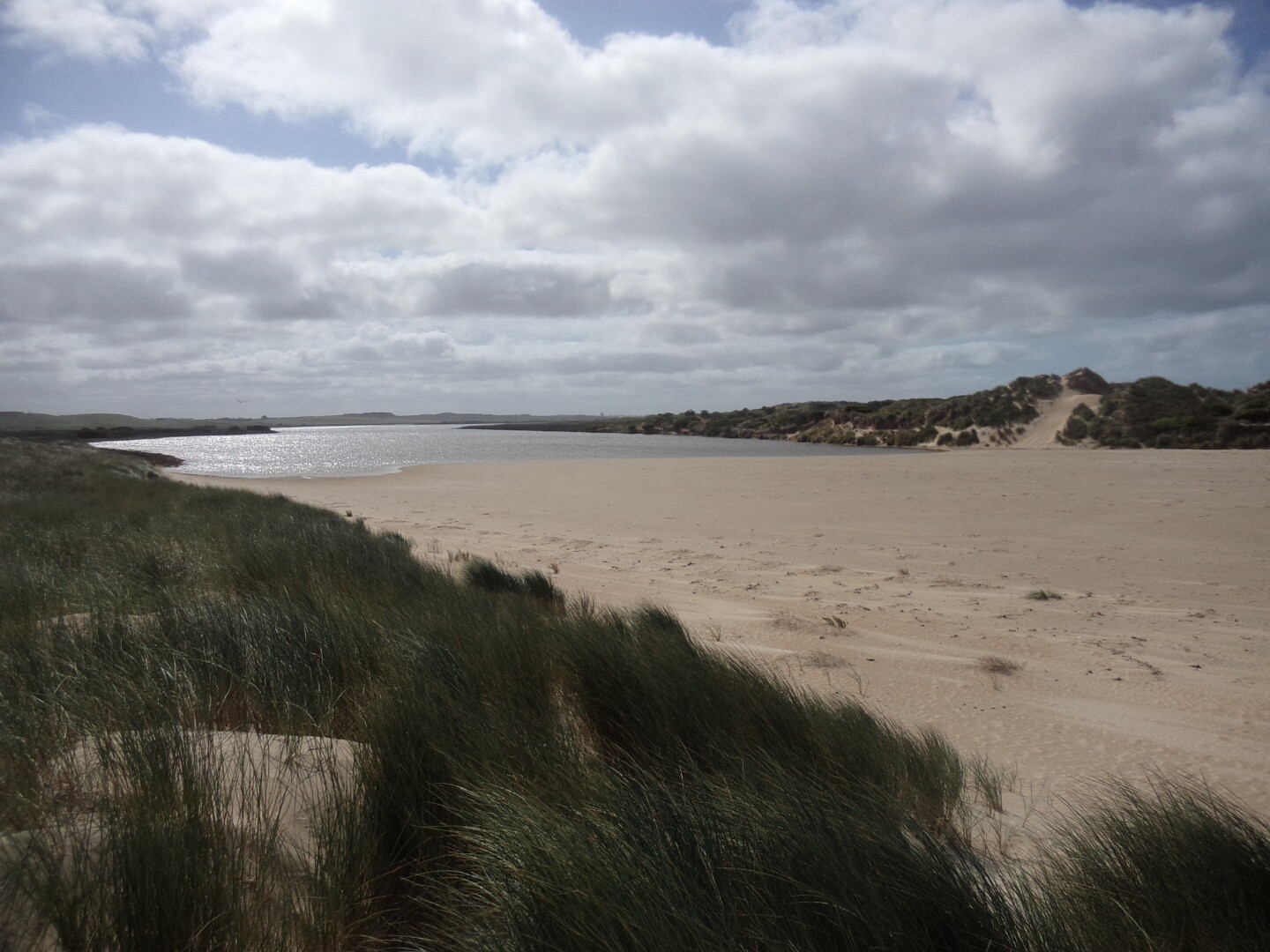
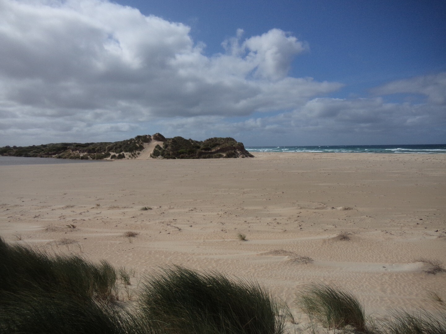
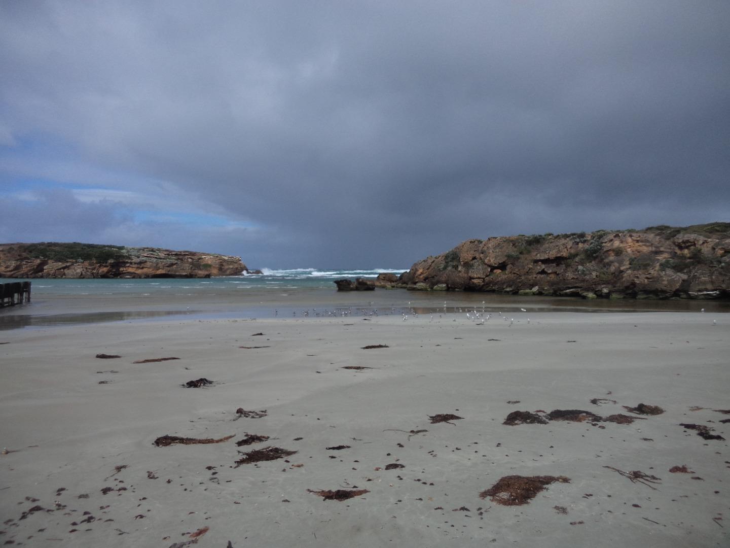
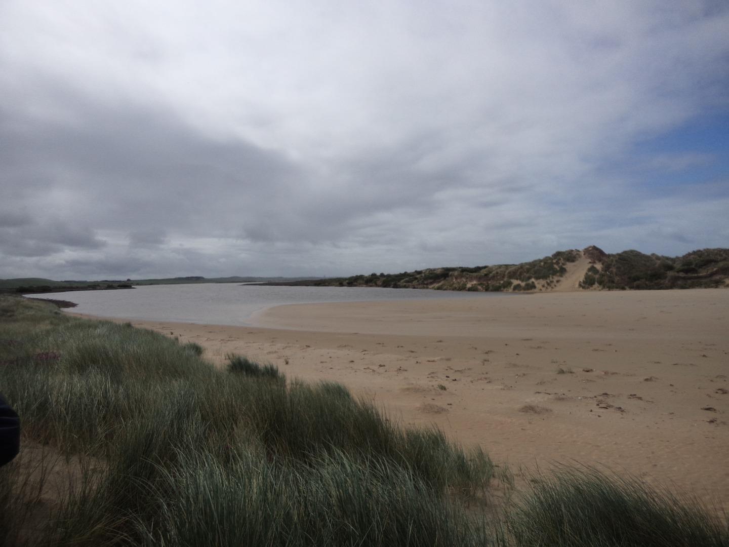
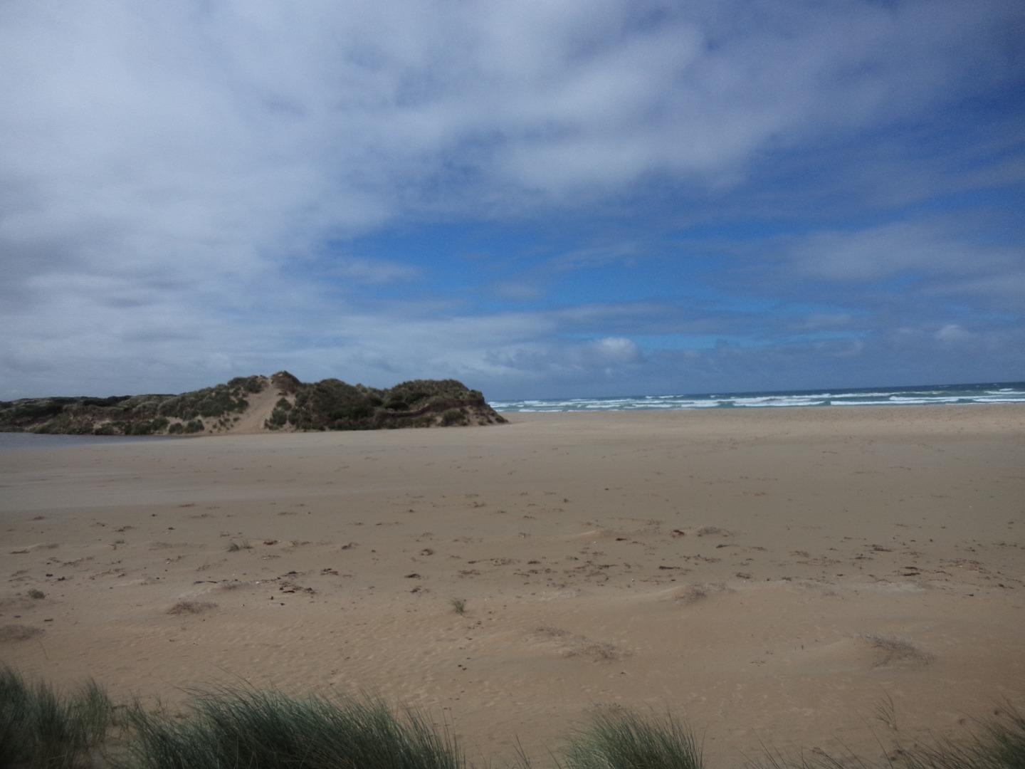
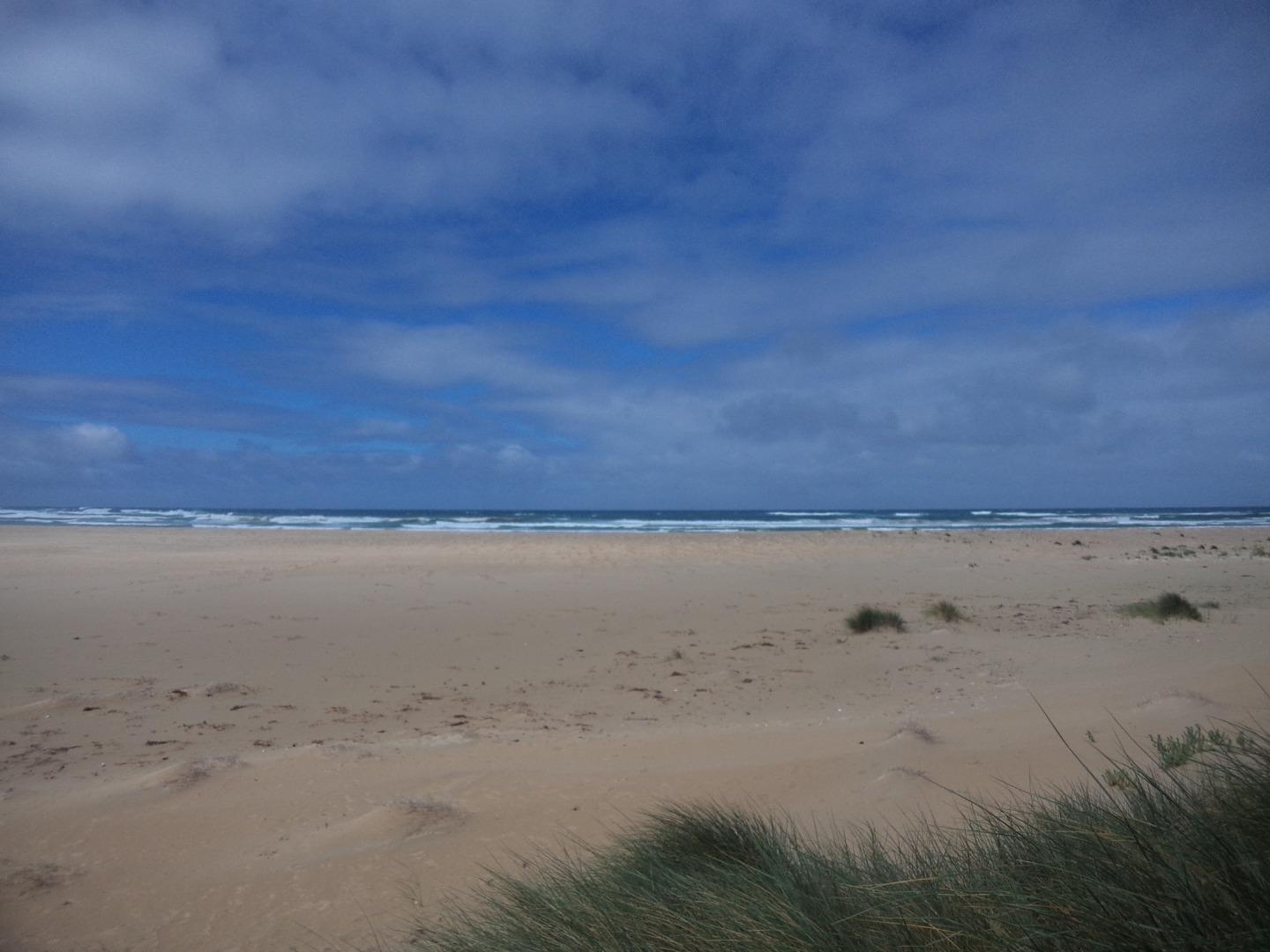
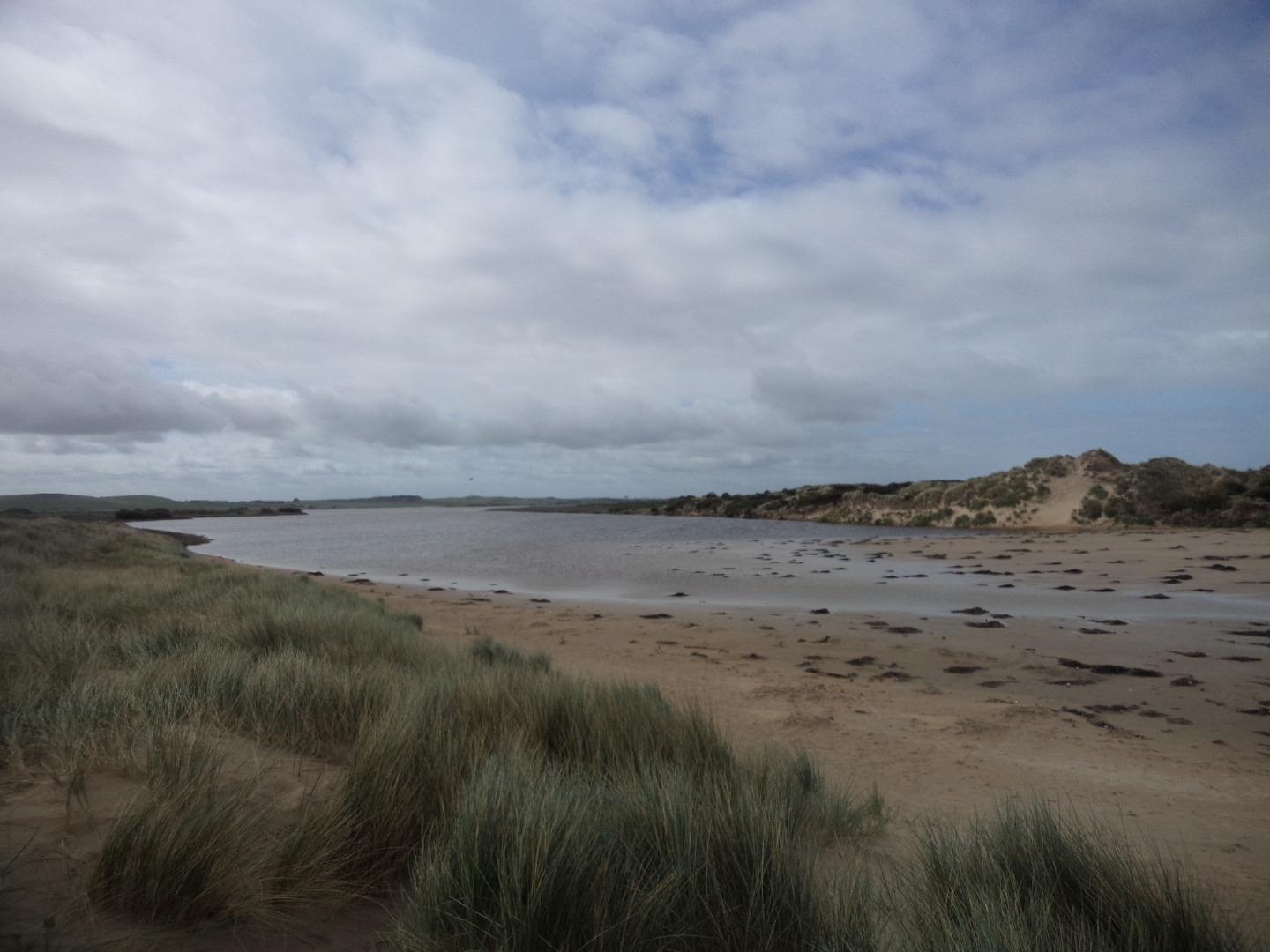
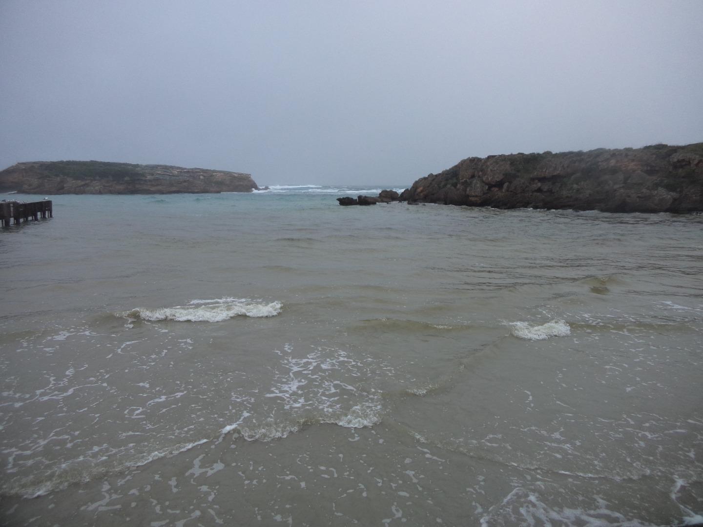
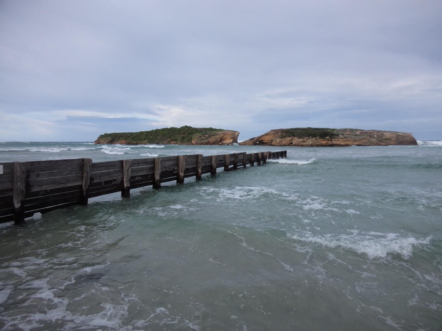
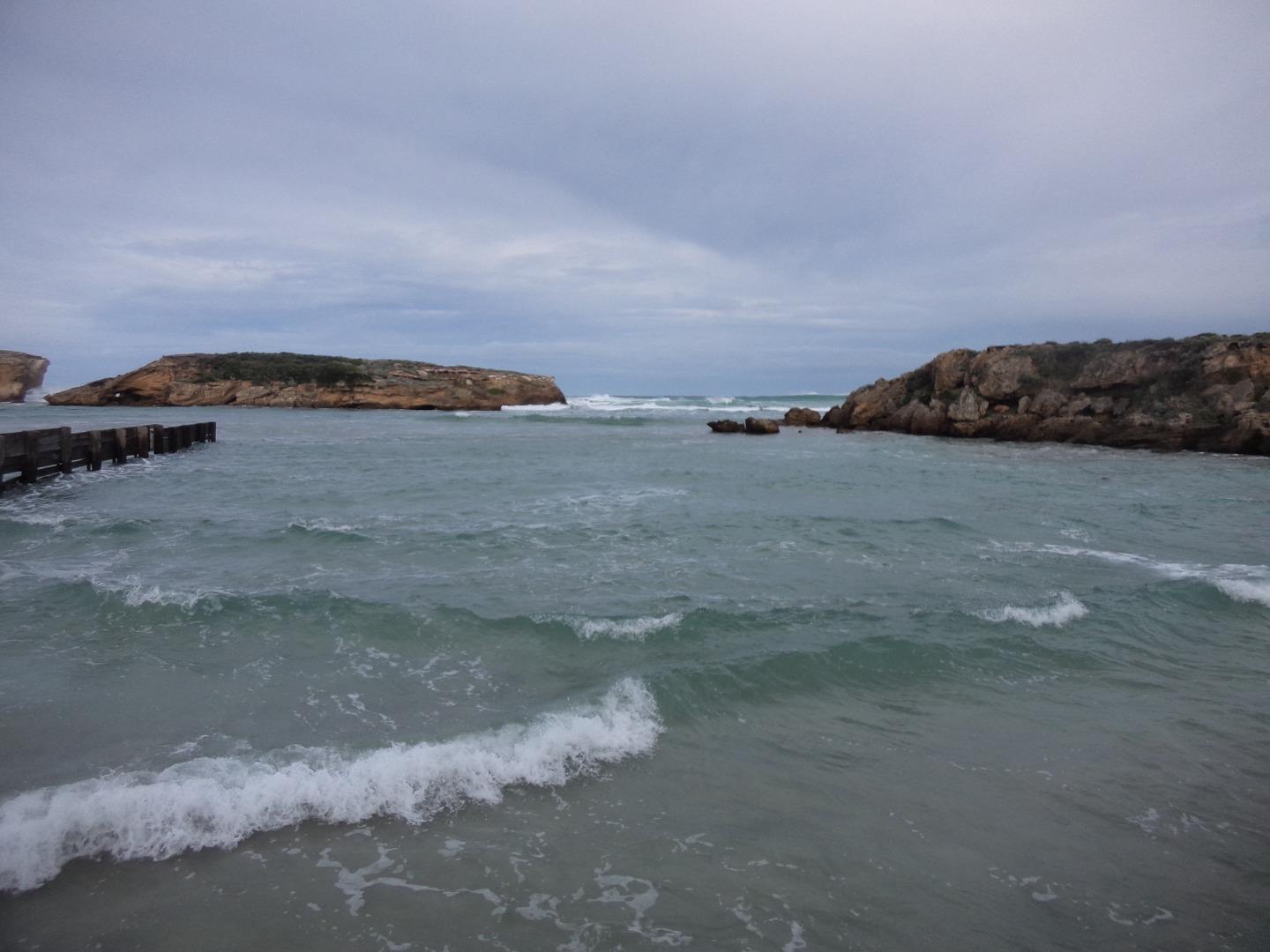
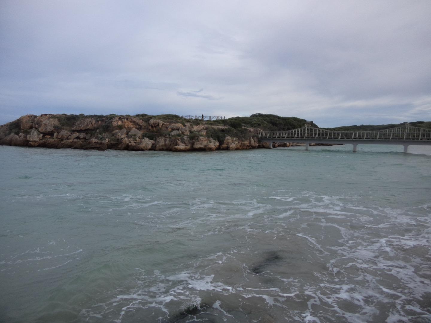
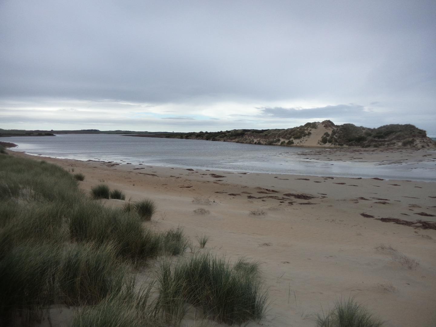
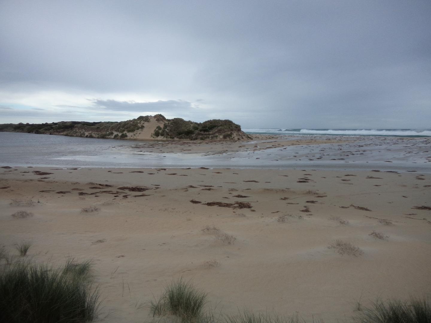
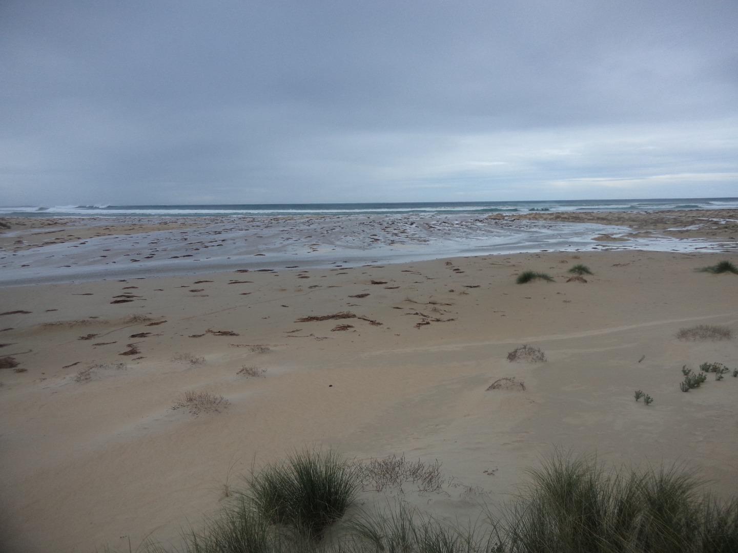
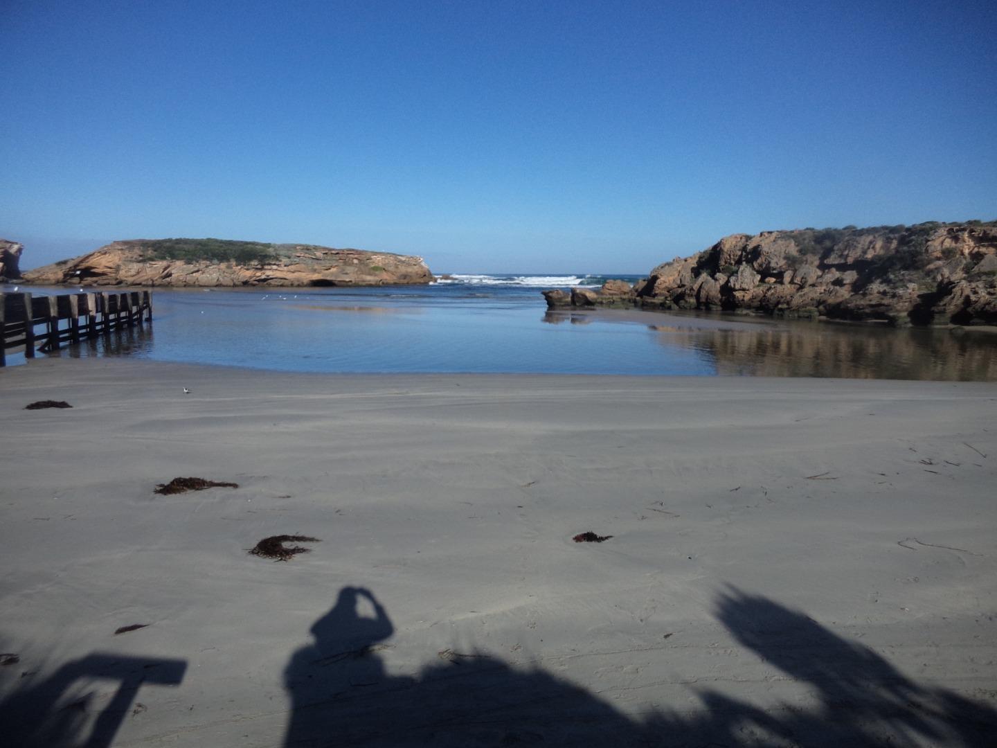
MMC1 Sting Ray BayActive Mouth Condition 27-10-2013 - 13-04-2024Where the Merri River exits into Sting Ray Bay. |
Observations 122 |
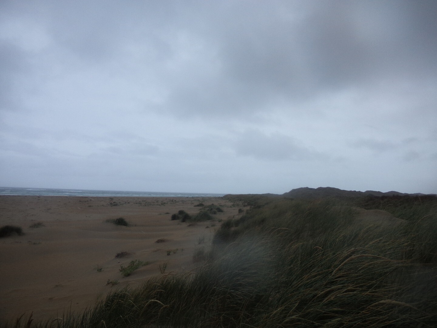
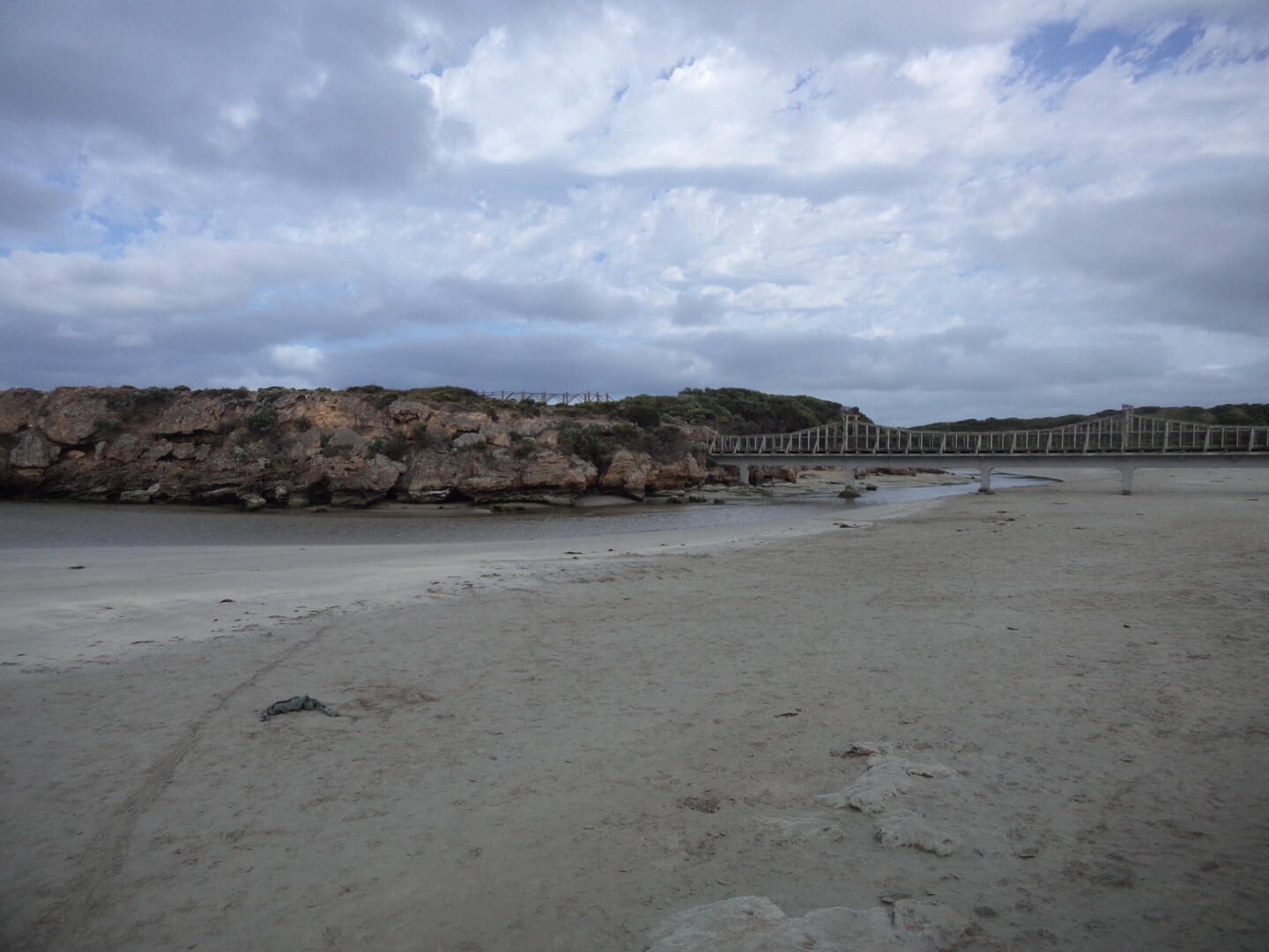
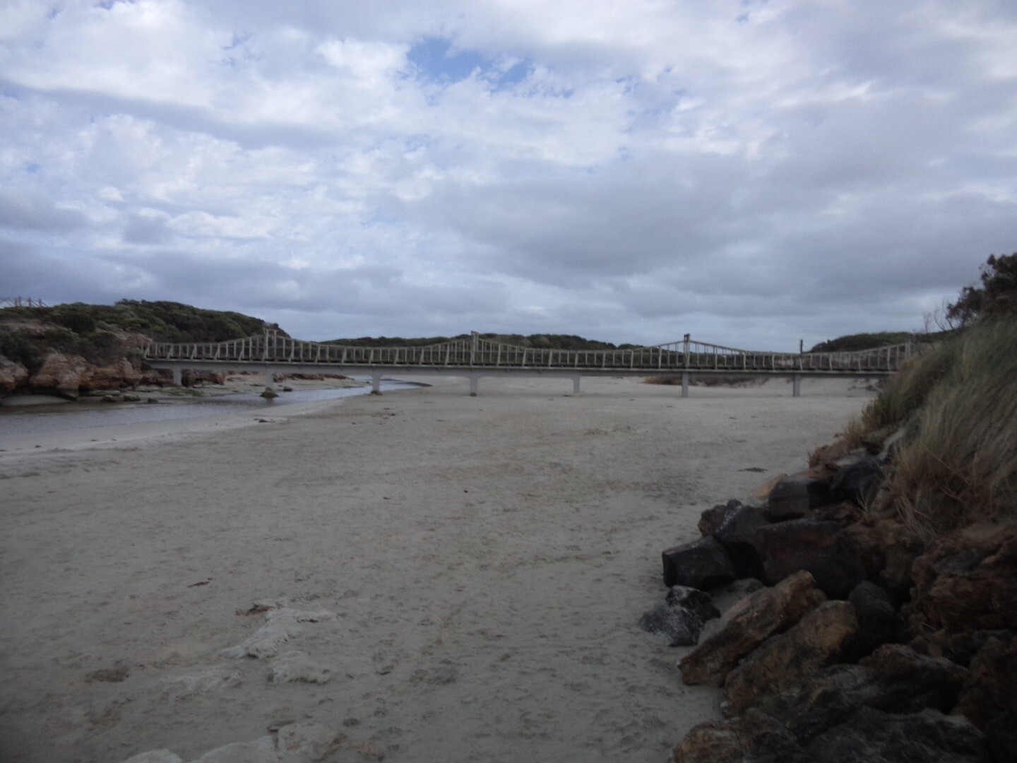
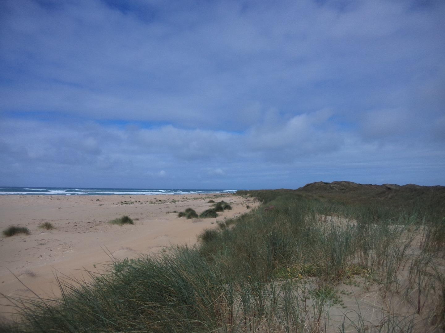
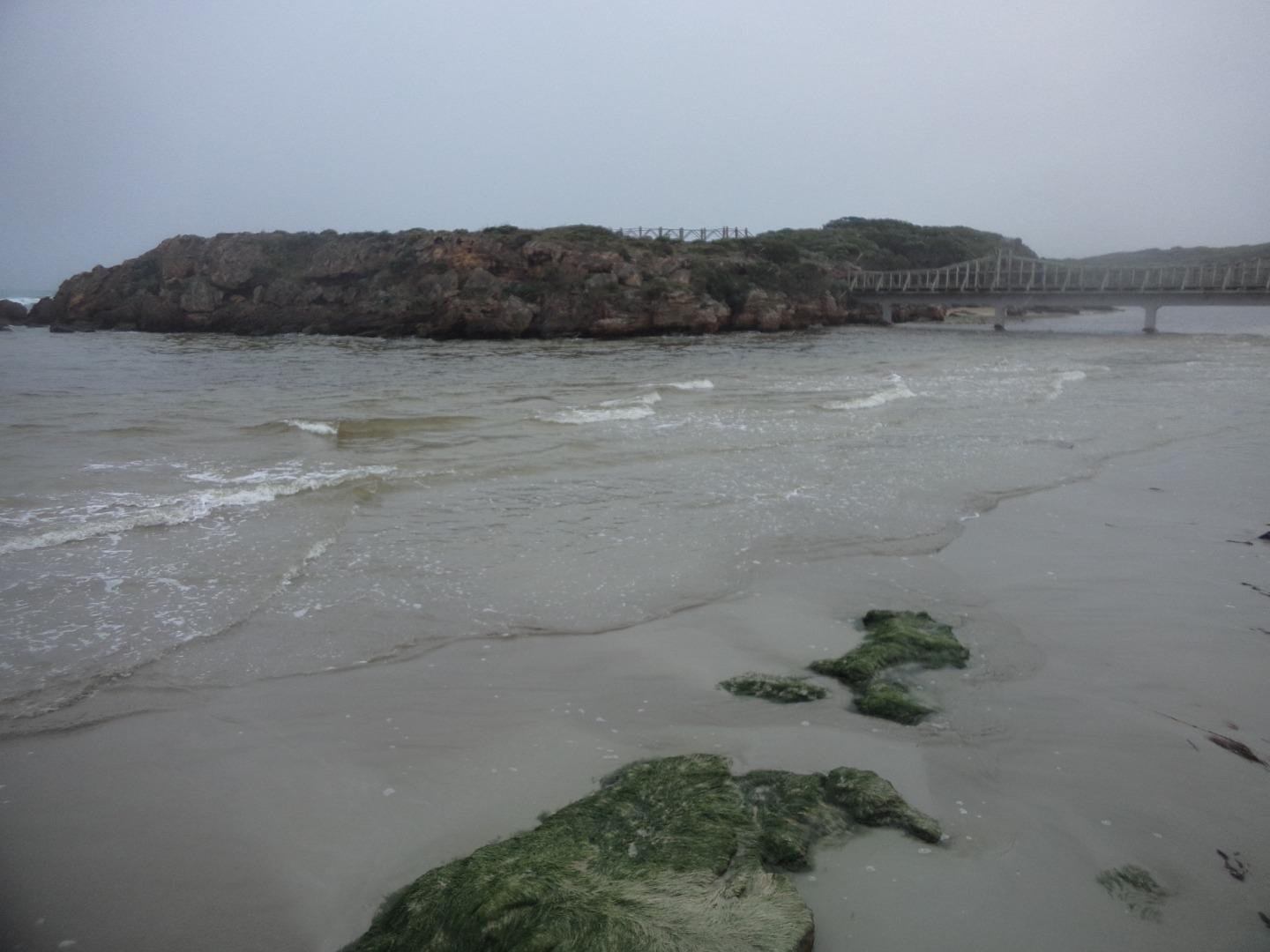
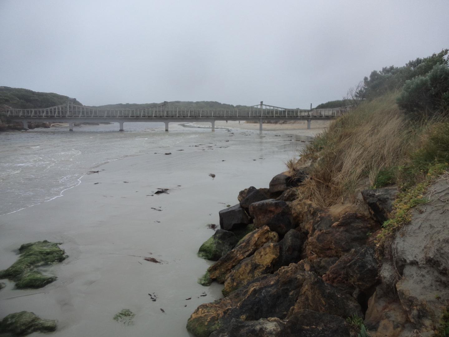
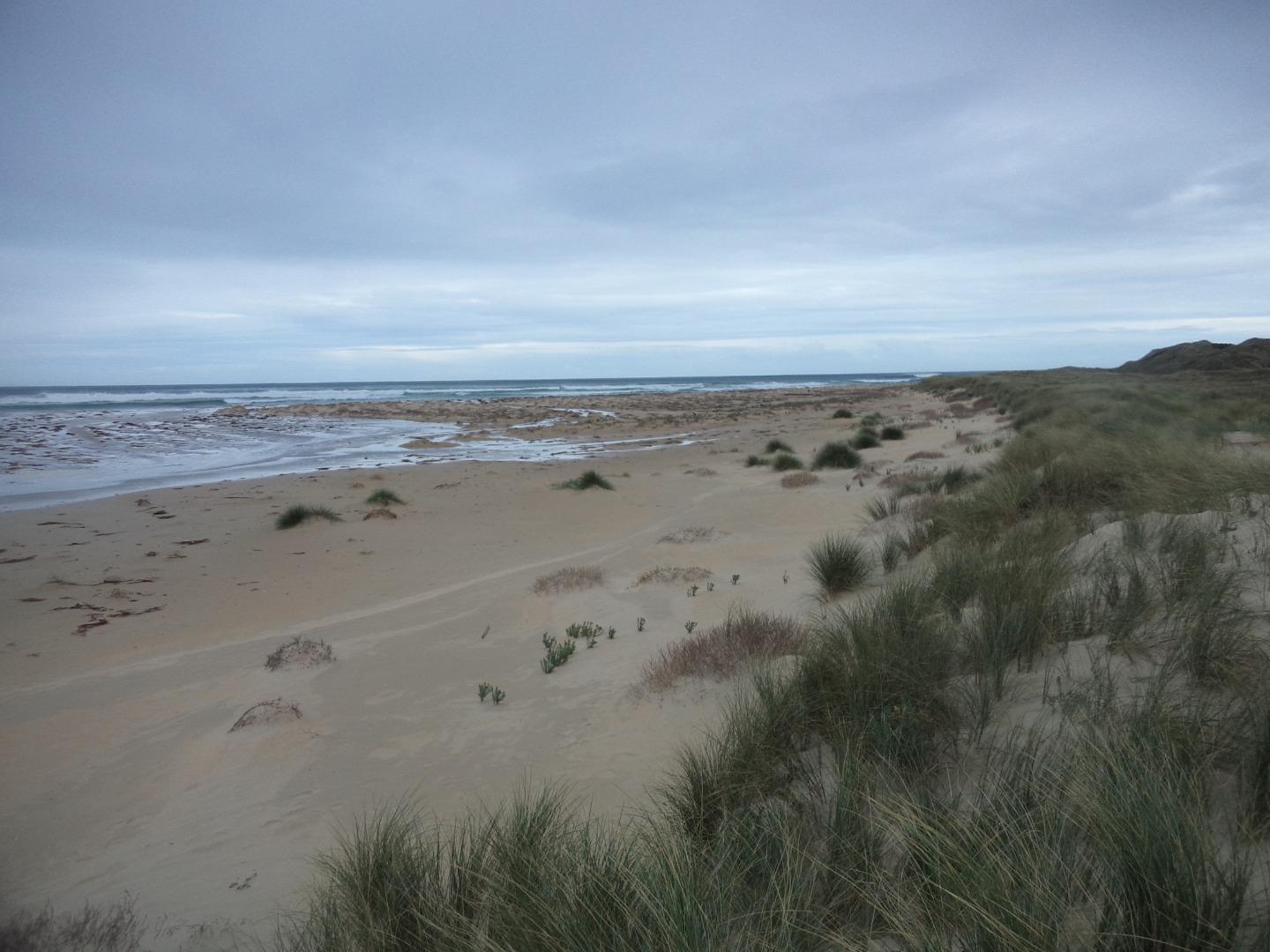
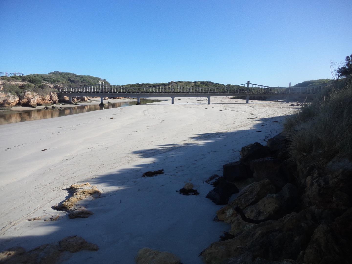
MMC2 Rutledges CuttingActive Mouth Condition 07-12-2013 - 13-04-2024Beach access track at the most eastern carpark in Belfast Coastal Reserve. |
Observations 115 |
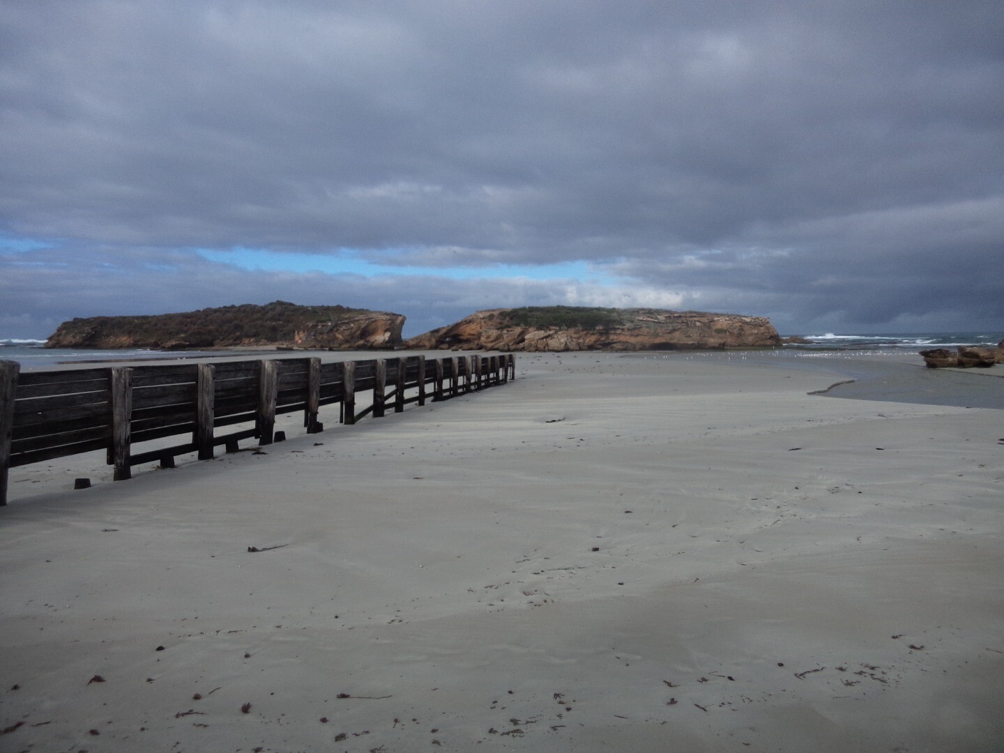
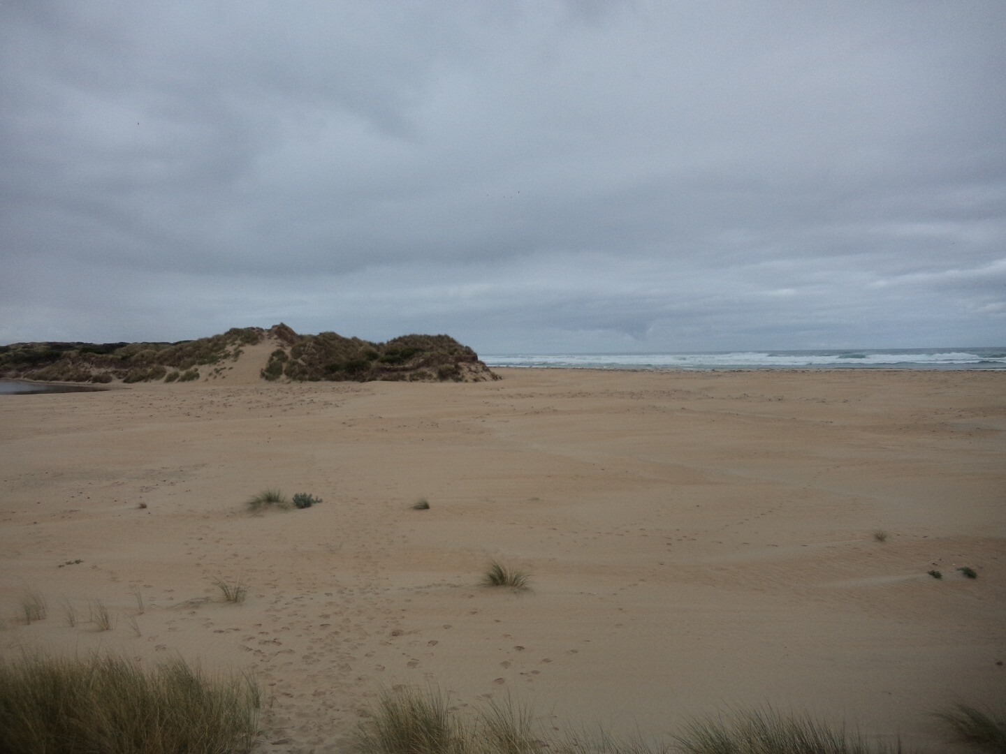
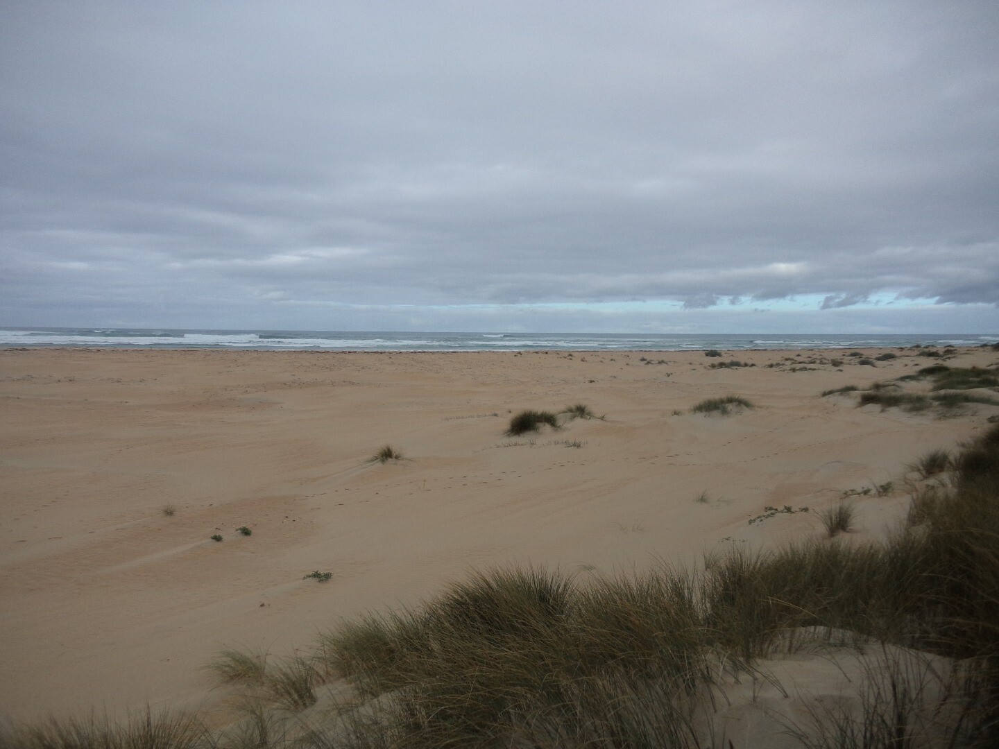
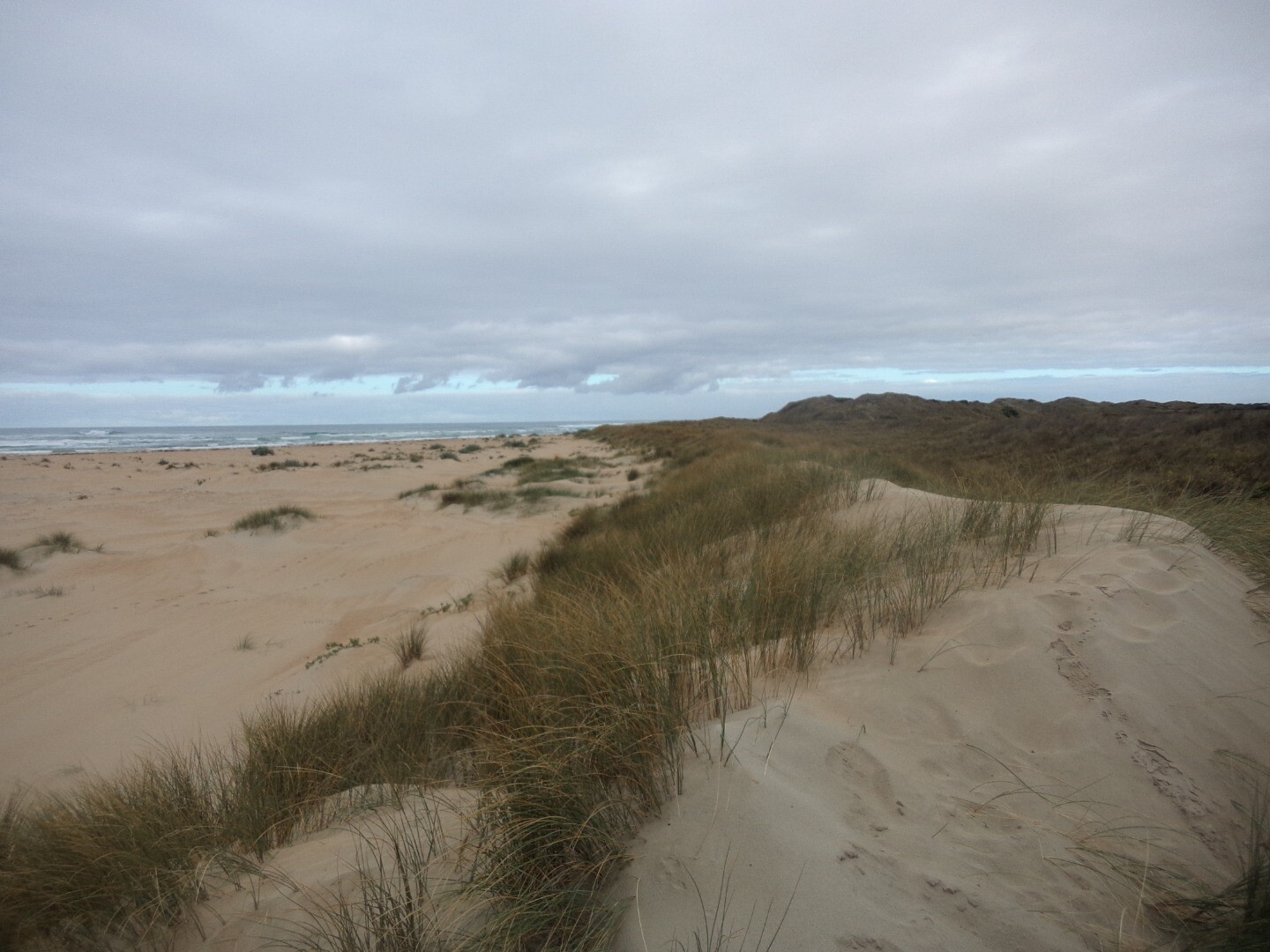
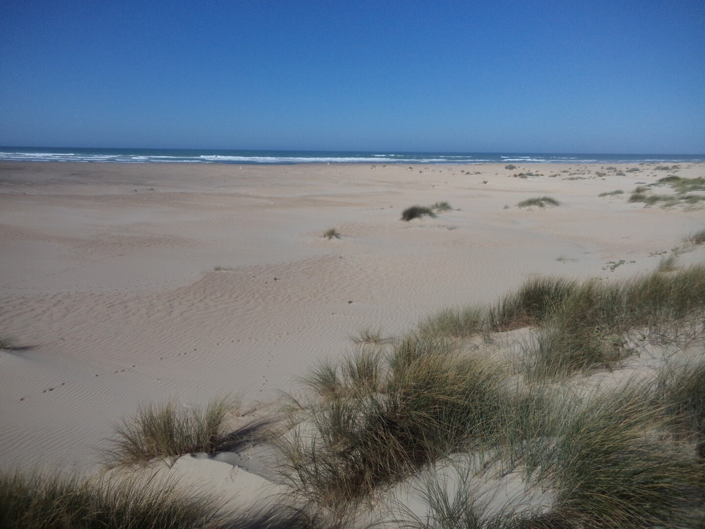
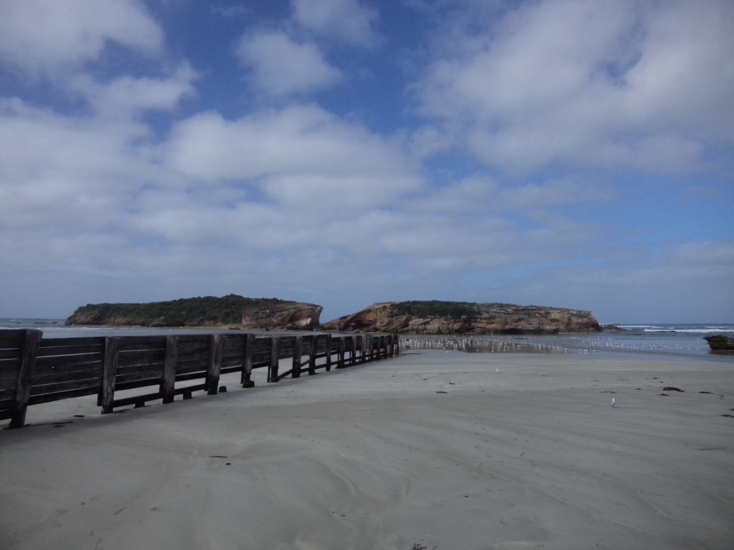
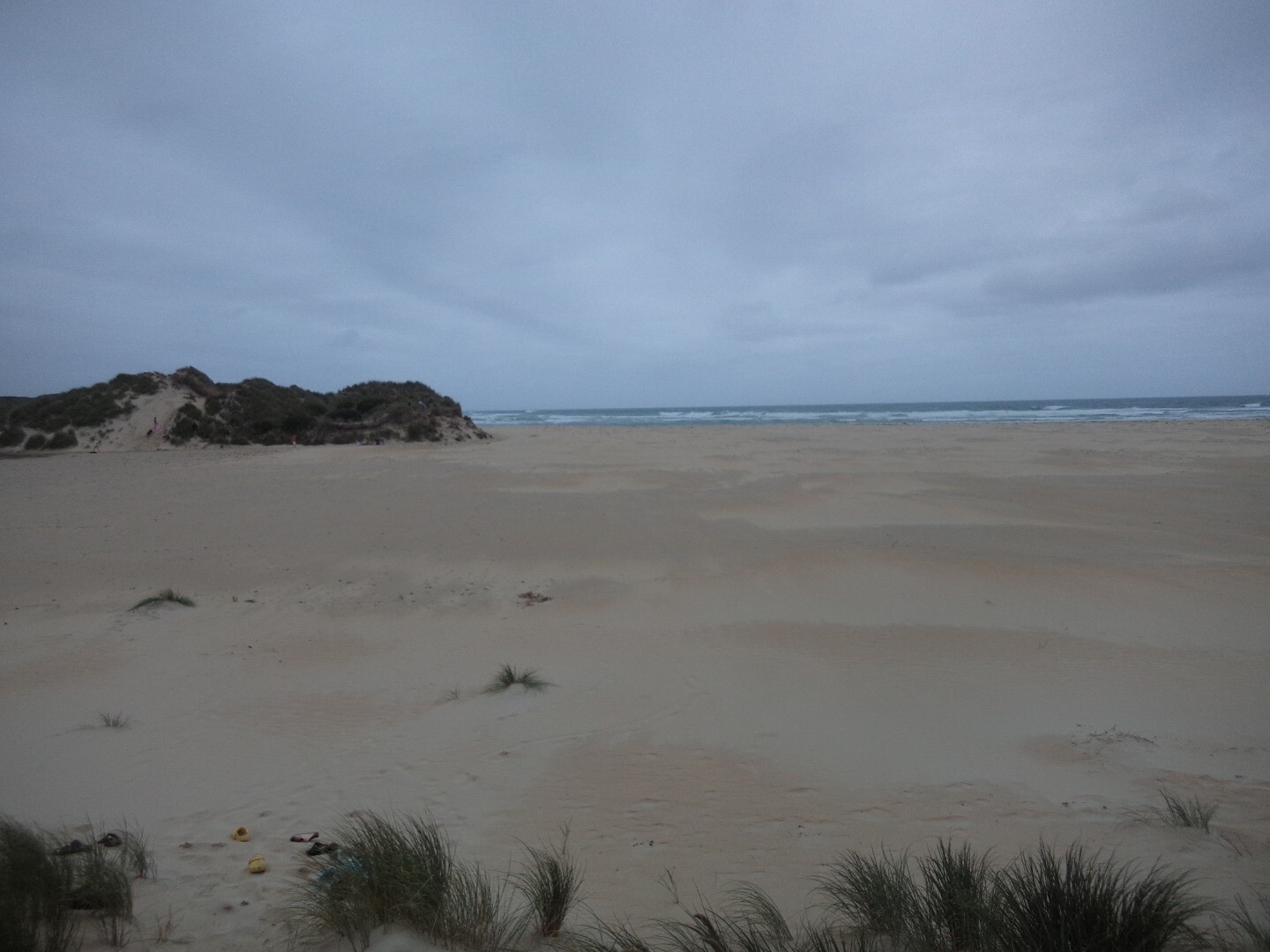
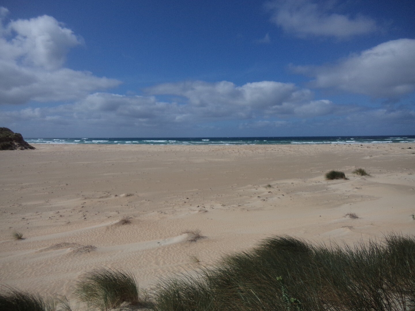
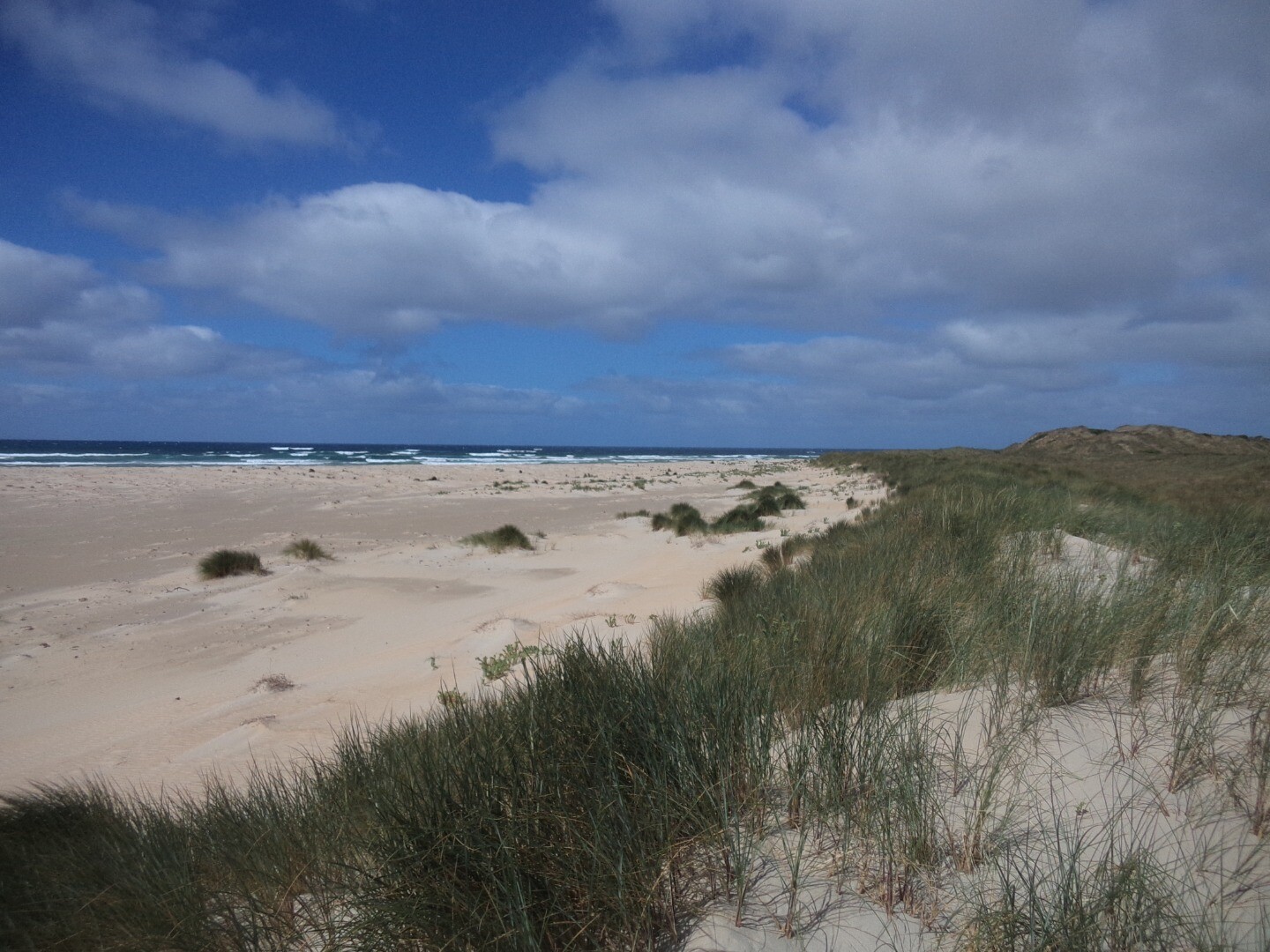
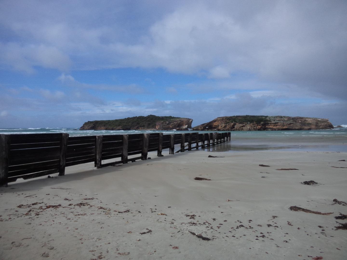
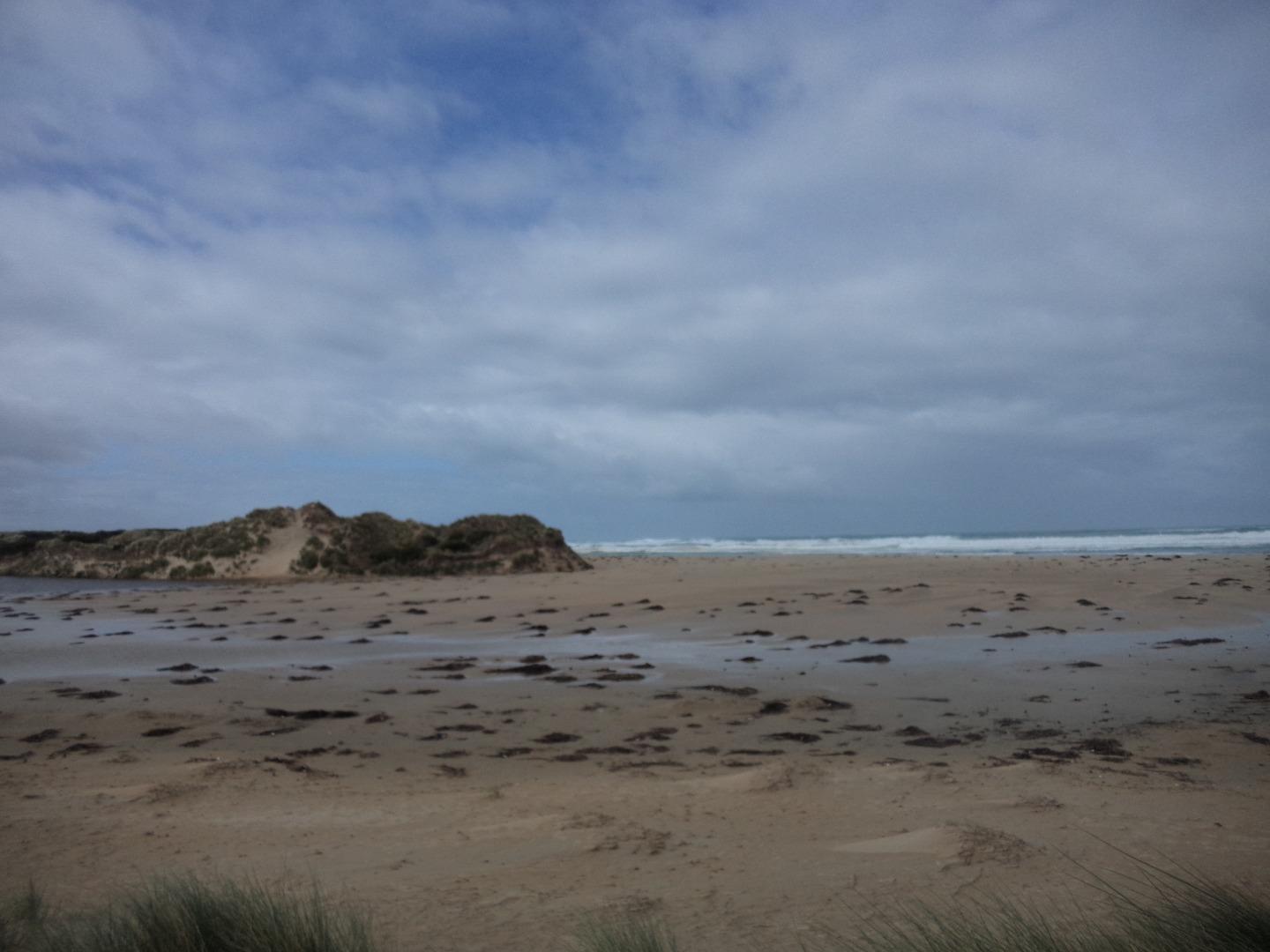
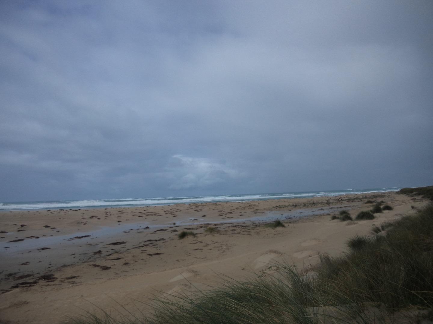
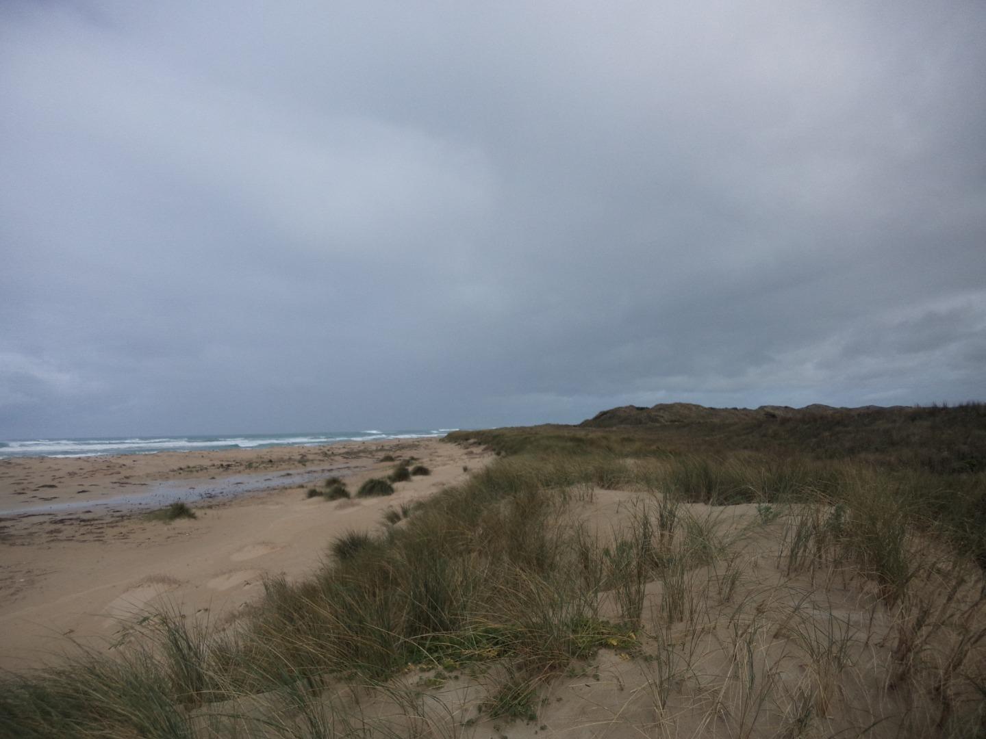
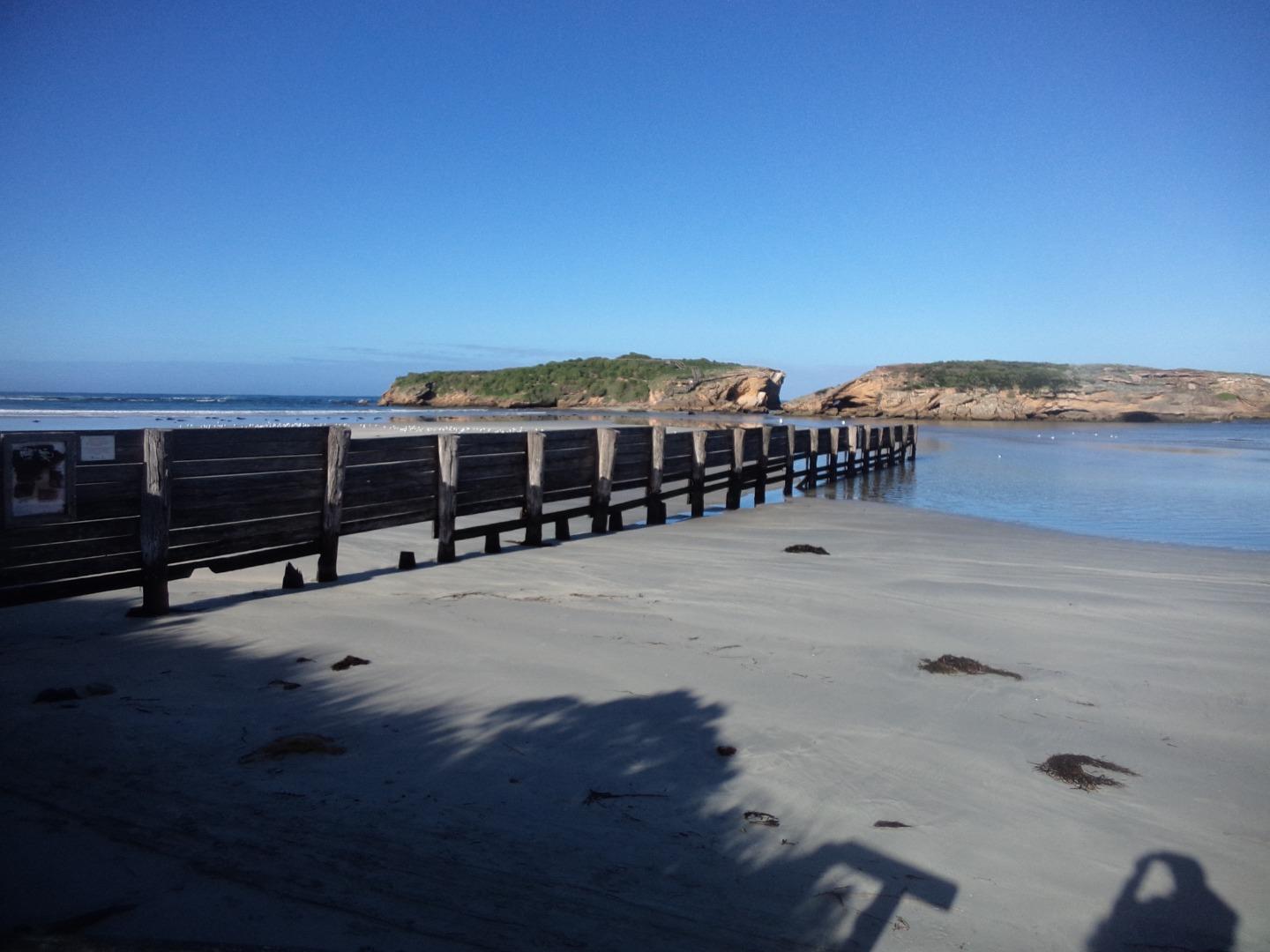
Mp1 Stingray BayActive Photopoint 27-03-2014 - 15-04-2024Photo is taken at the bottom of the beach access stairs near Emergency marker WCC112, Sting Ray Bay. |
Photos 425 |
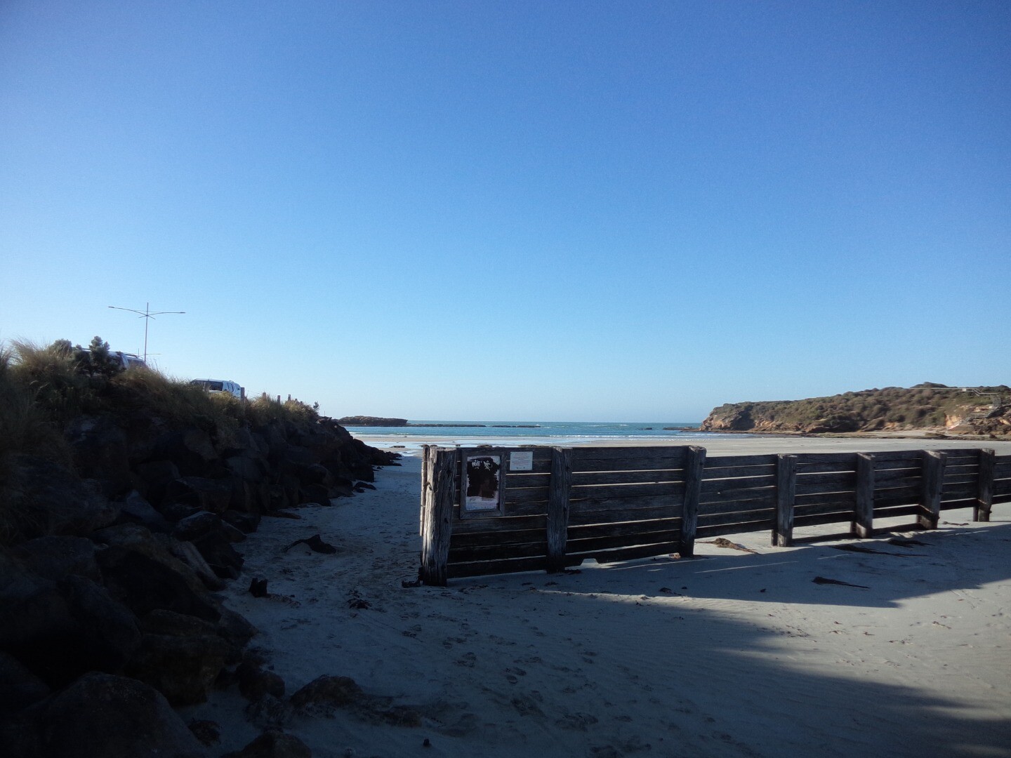
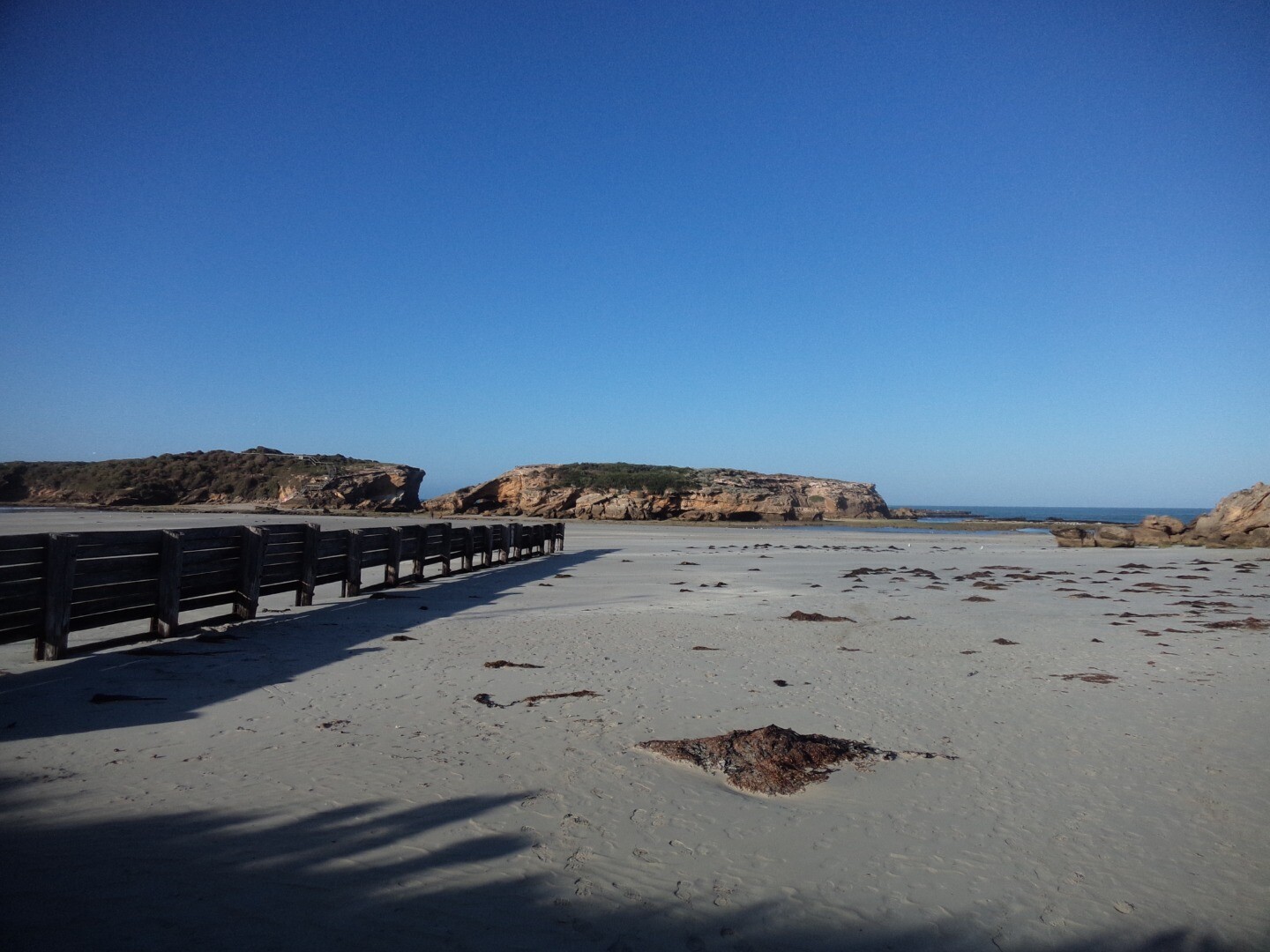
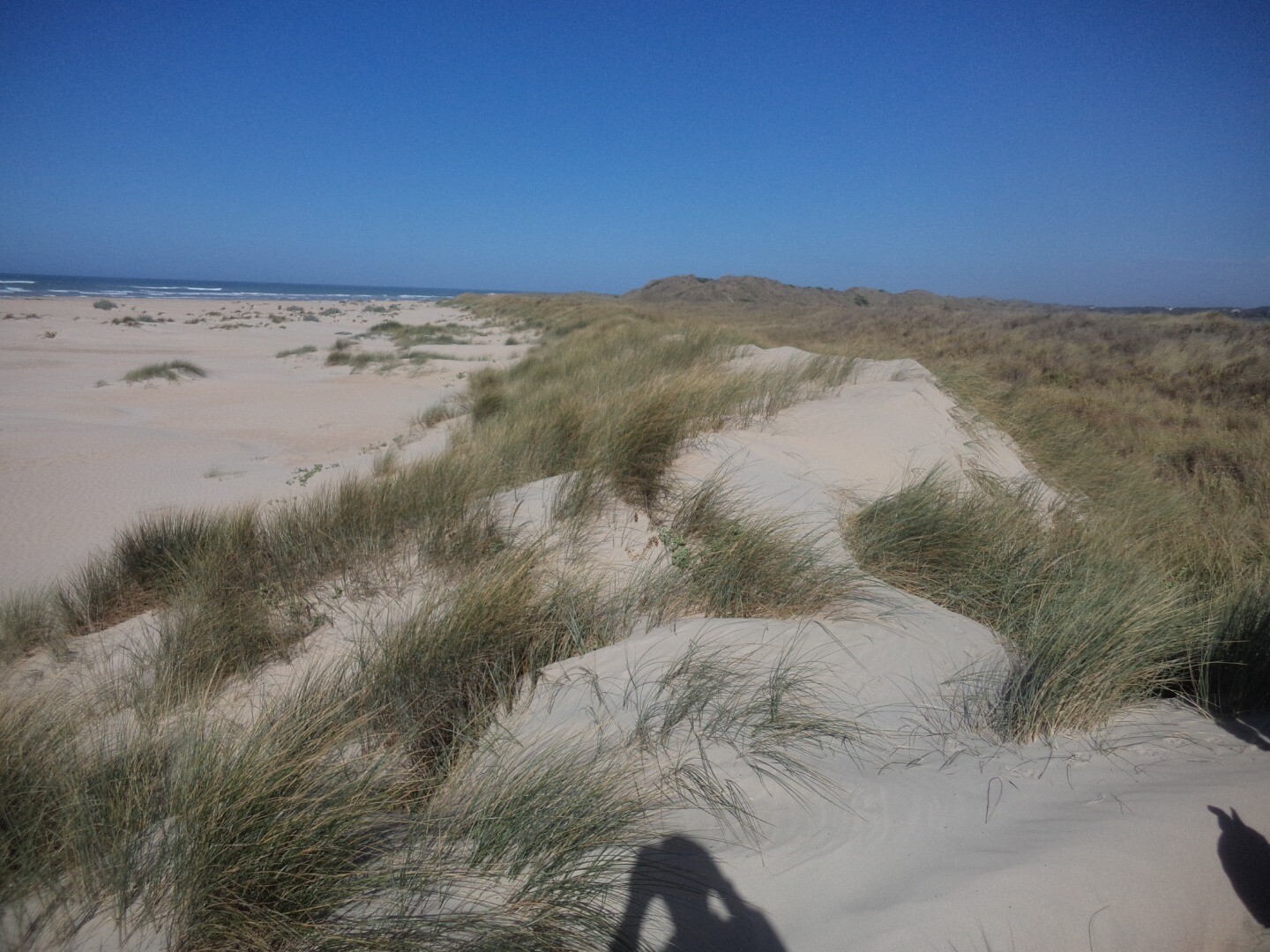
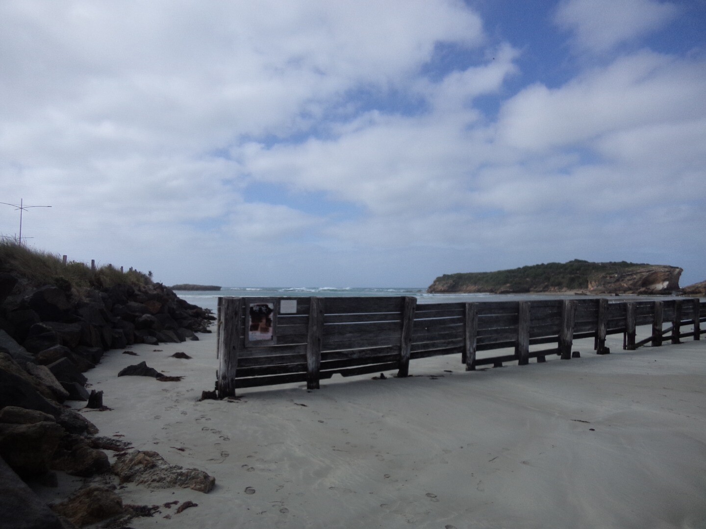
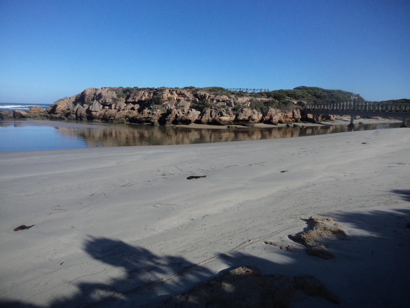
Mp2 Rutledges CuttingActive Photopoint 10-02-2017 - 15-04-2024At the end of the beach access track from the easter carpark in Belfast Coastal Reserve. |
Photos 239 |
Estuary Snapshots
The EstuaryWatch snapshots provide a summary of estuary condition on a particular day. For all EstuaryWatch Snapshots, photopoint photos and a longitudinal water quality profile from the estuary mouth to the inland extent is displayed. Read more
Autumn 2024
Summer 2024
Spring 2023
Winter 2023
Autumn 2023

All content, files, data and images provided by the EstuaryWatch Data Portal and Gallery are subject to a Creative Commons Attribution License
Content is made available to be used in any way, and should always attribute EstuaryWatch and www.estuarywatch.org.au