EstuaryWatch Data Portal
Overview
| Estuary name | Balcombe Creek Estuary |
|---|---|
| CMA | Melbourne Water |
| Description |
The Balcombe Creek estuary is in Mt. Martha. The estuary extent is limited by the outfall at Briars Park wildlife reserve. The entrance is downstream of the Nepean Highway and is open intermittently to Port Phillip Bay. |
| Estuary Values | |
| Estuary Threats | |
| Data | Site observations |
| Status | Active |
| Monitor group | Balcombe Creek EstuaryWatchers (BERG) |
Sites
| Site details | Options |
|---|---|
Ba1 Jetty near mouthActive Physico-Chemical 09-10-2013 - 10-05-202350m north-east of Balcombe Estuary rotunda. |
Observations 68 |
Ba2 Ferrero OvalActive Physico-Chemical 21-01-2017 - 10-05-2023Jetty close to Ferrero Reserve. |
Observations 48 |
Ba3 Augusta StreetActive Physico-Chemical 21-01-2017 - 10-05-2023Augusta Street Bridge. Monitoring is conducted from the middle of the bridge. This is also a Waterwatch site. |
Observations 48 |
BaGB Balcombe Creek Gauge BoardActive Gauge BoardJetty near rotunda at Estuary carpark (off Mirang Ave). |
|
BaMC Balcombe Creek Mouth Condition ObservationActive Mouth Condition 10-03-2012 - 10-05-2023Balcombe Bridge on Esplanade. 5th post in from southern end on beach side. |
Observations 68 |
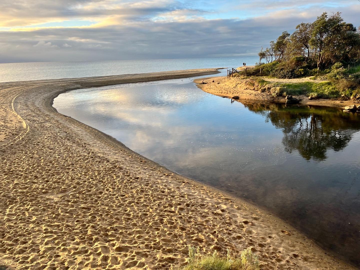
Bap1 Balcombe Creek Photopoint Site 1Active Photopoint 02-01-2017 - 13-05-2023Balcombe Bridge on Esplanade. 5th post in from southern end on beach side. |
Photos 30 |
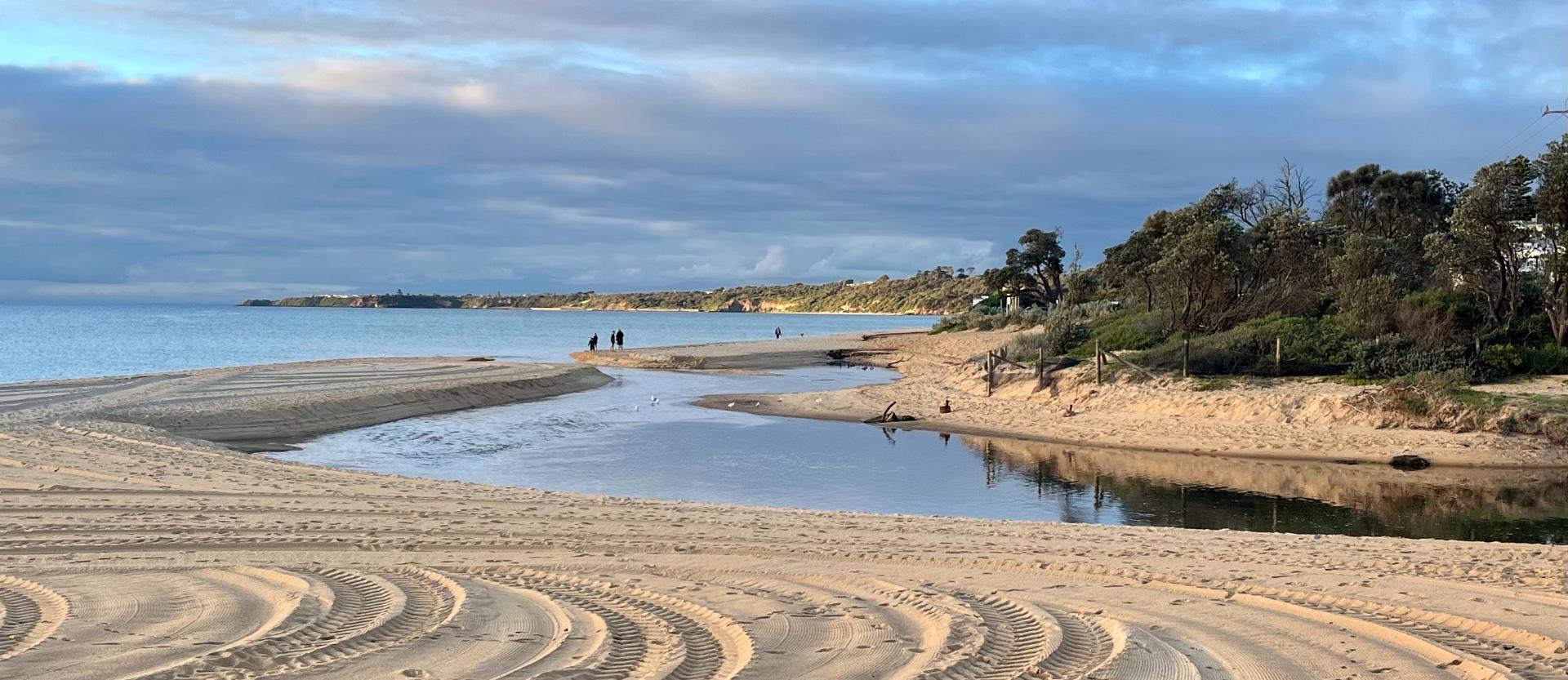
Bap2 Balcombe Creek Photopoint Site 2Active Photopoint 06-10-2015 - 13-04-2023150m north west of the Balcombe Estuary Rotunda on beach. Site is behind shrubs and 'Balcombe Estuary' sign. |
Photos 41 |
Estuary Snapshots
The EstuaryWatch snapshots provide a summary of estuary condition on a particular day. For all EstuaryWatch Snapshots, photopoint photos and a longitudinal water quality profile from the estuary mouth to the inland extent is displayed. Read more
Autumn 2023

All content, files, data and images provided by the EstuaryWatch Data Portal and Gallery are subject to a Creative Commons Attribution License
Content is made available to be used in any way, and should always attribute EstuaryWatch and www.estuarywatch.org.au