EstuaryWatch Data Portal
Overview
| Estuary name | Merricks Creek Estuary |
|---|---|
| CMA | Melbourne Water |
| Description | Merricks Creek Estuary is situated in the township of Balnarring Beach and flows into Western Port Bay. It is an intermittently open estuary and is highly modified. |
| Estuary Values | |
| Estuary Threats | |
| Data | Site observations |
| Status | Active |
| Monitor group | Merricks Creek EstuaryWatchers |
Sites
| Site details | Options |
|---|---|
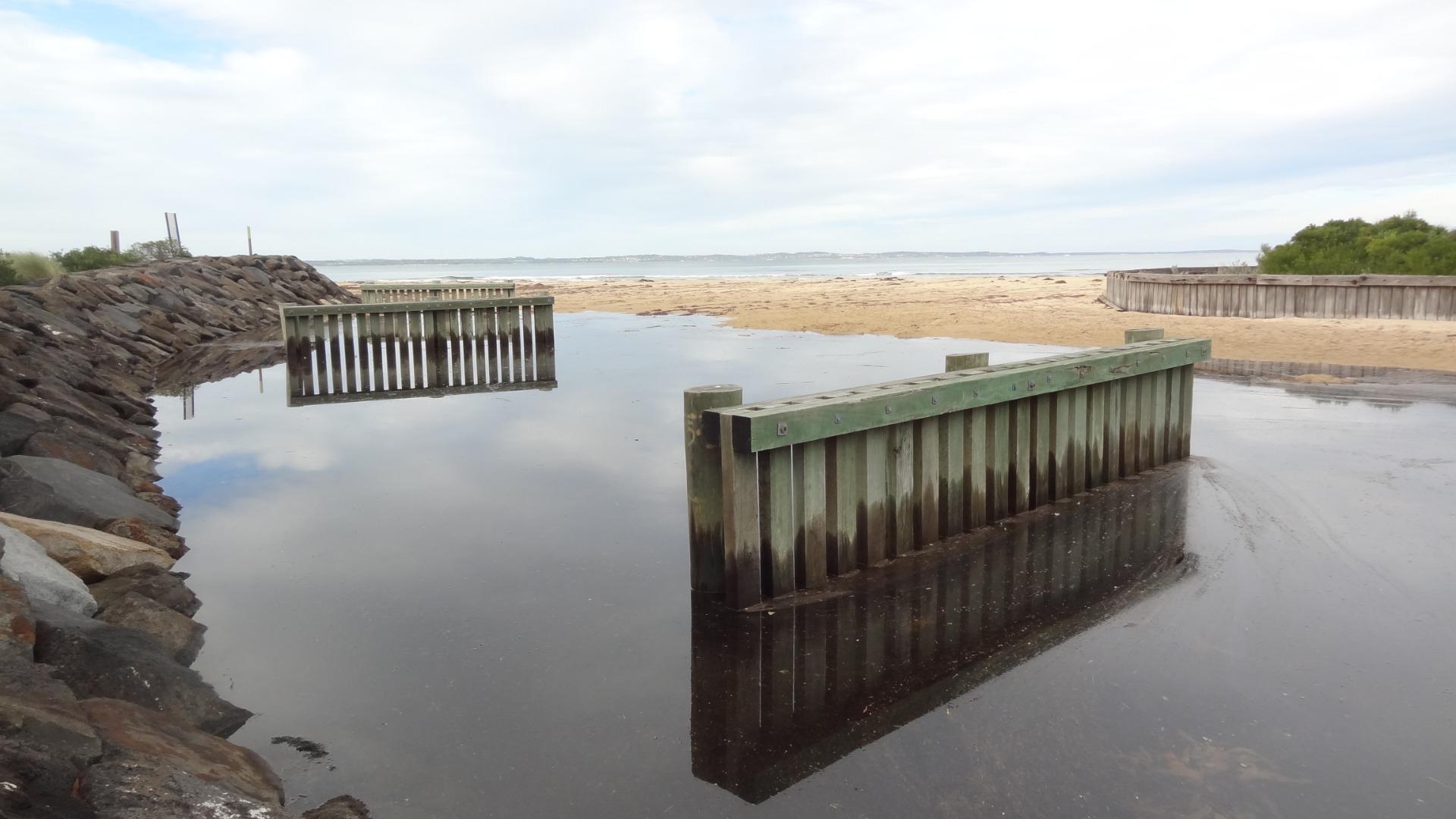
Me1 Bridge at the estuary mouthActive Physico-Chemical 05-09-2016 - 01-04-2024This site is on the closest bridge to the estuary mouth. |
Observations 94 |
Me2 Balnarring BridgeActive Physico-Chemical 01-02-2016 - 03-04-2024Monitoring is conducted from the Balnarring Beach Road Bridge. |
Observations 90 |
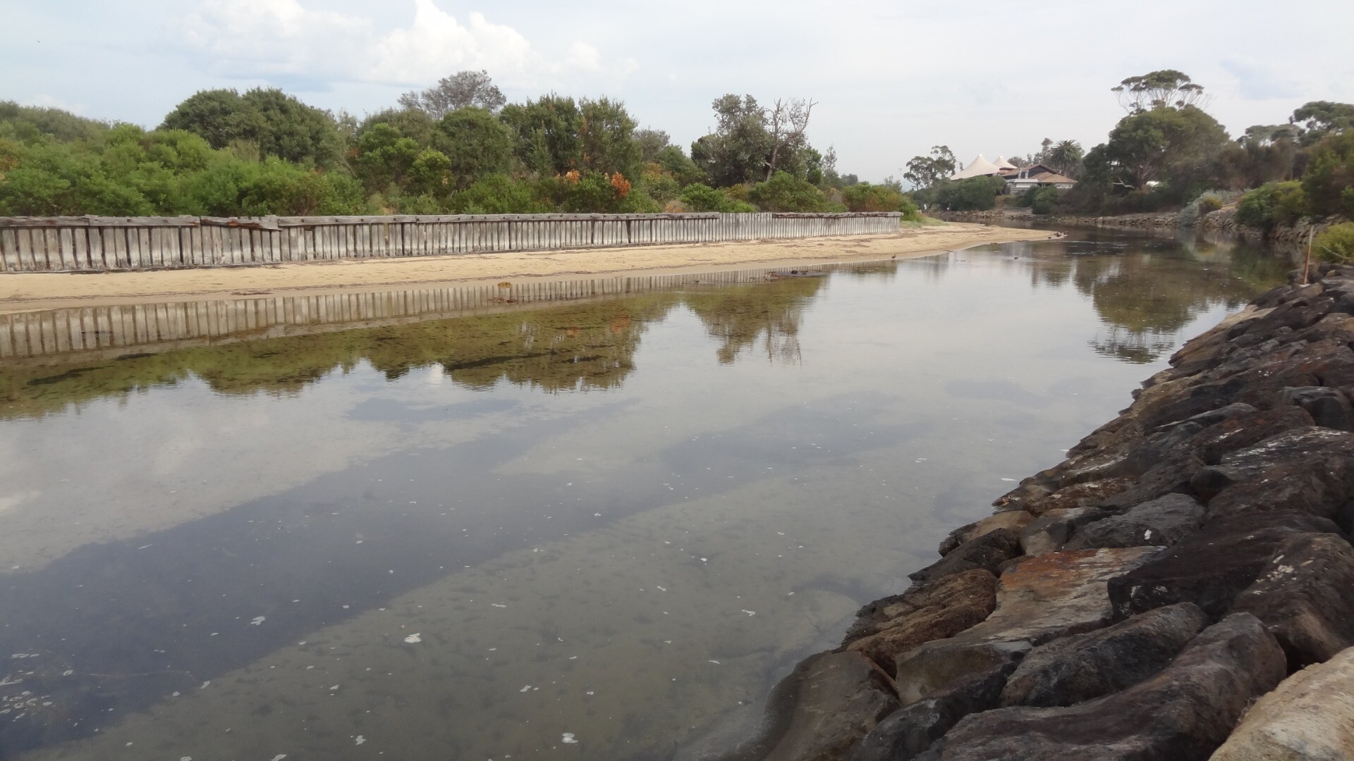
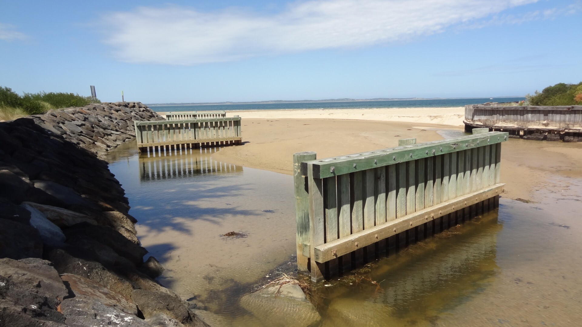
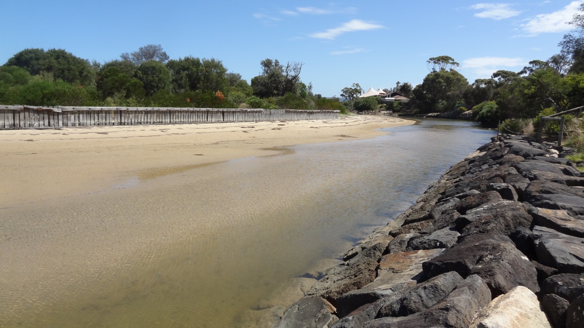
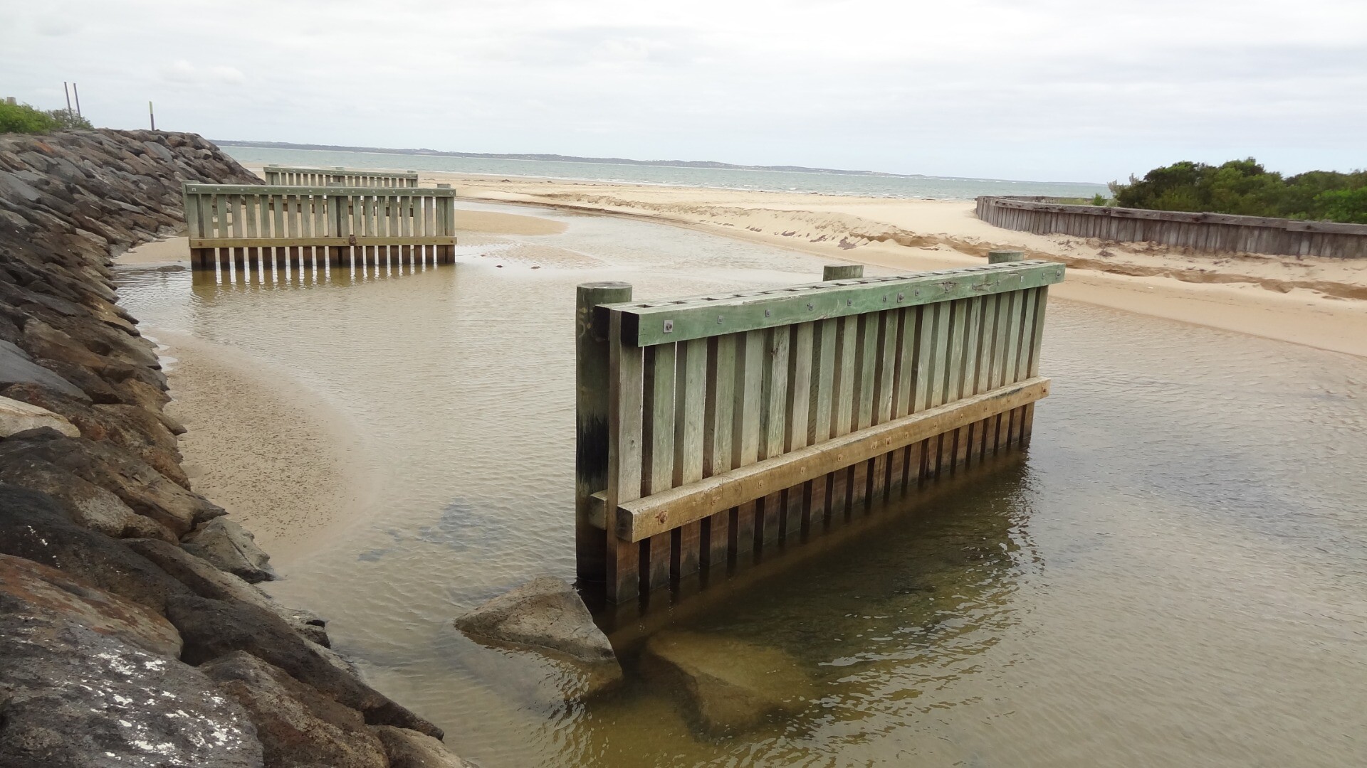
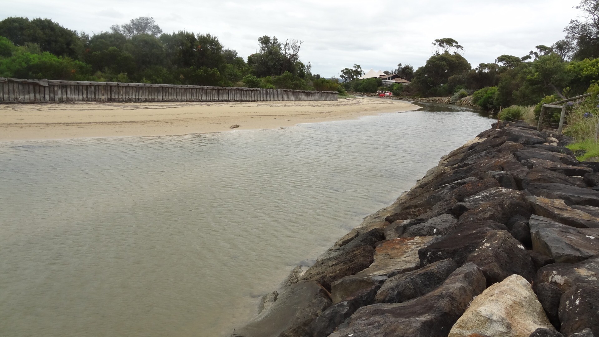
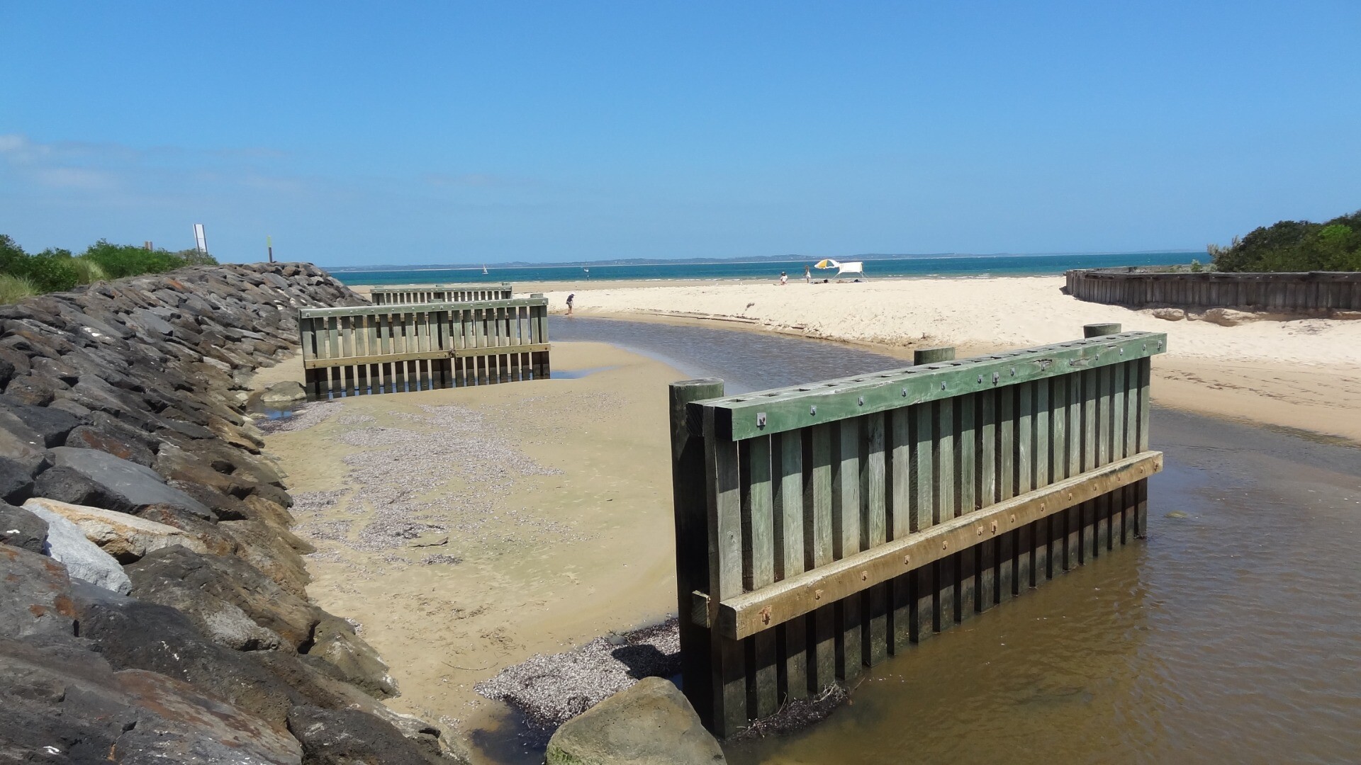
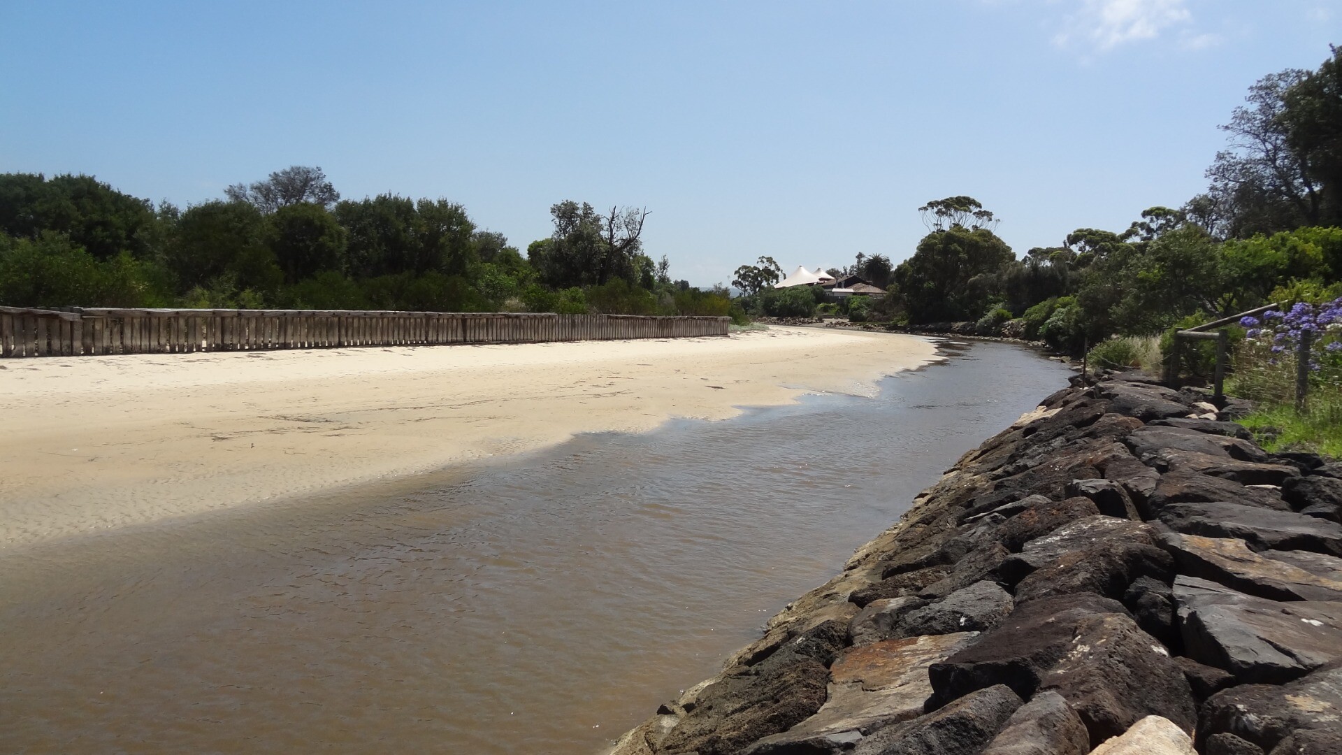
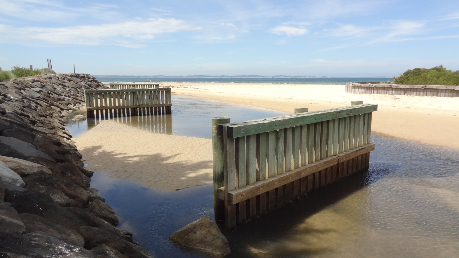
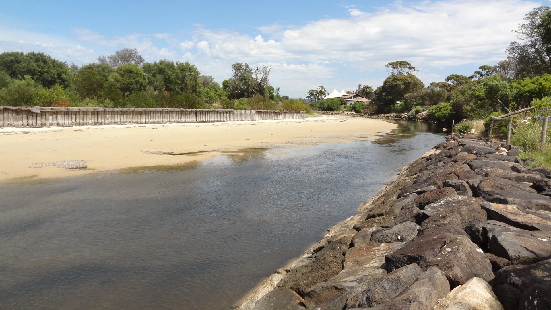
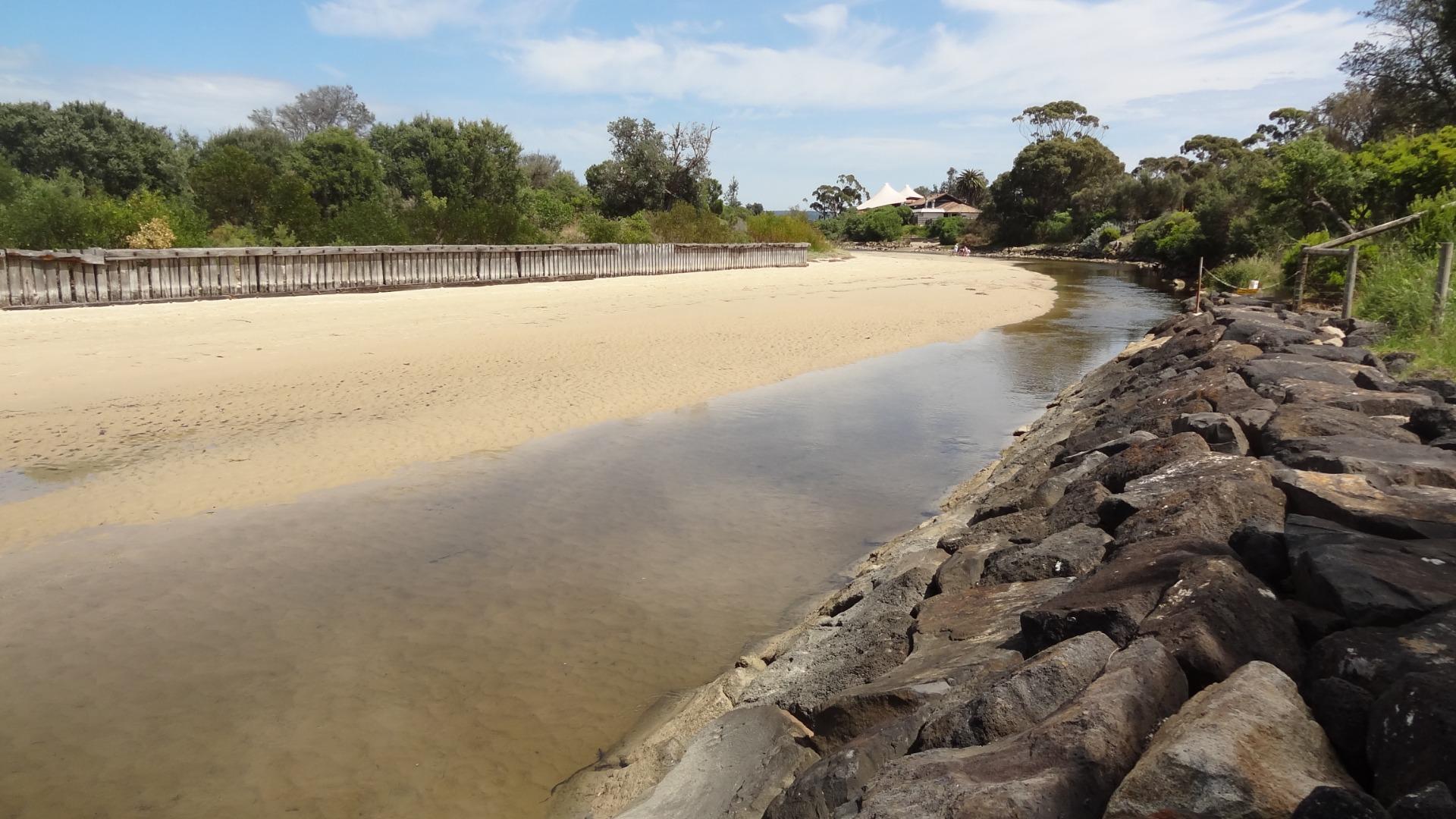
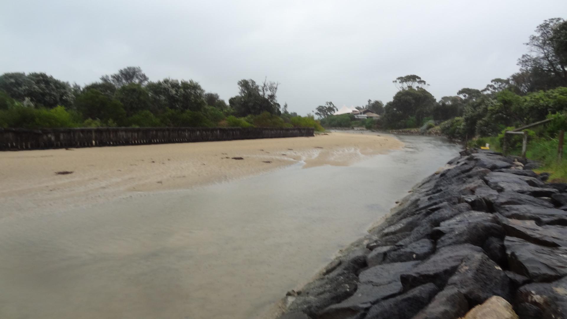
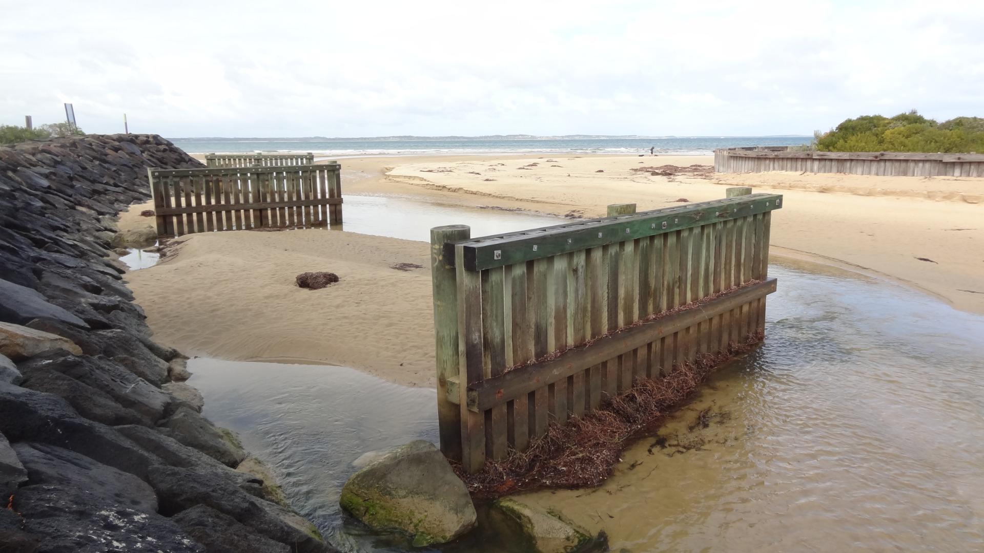
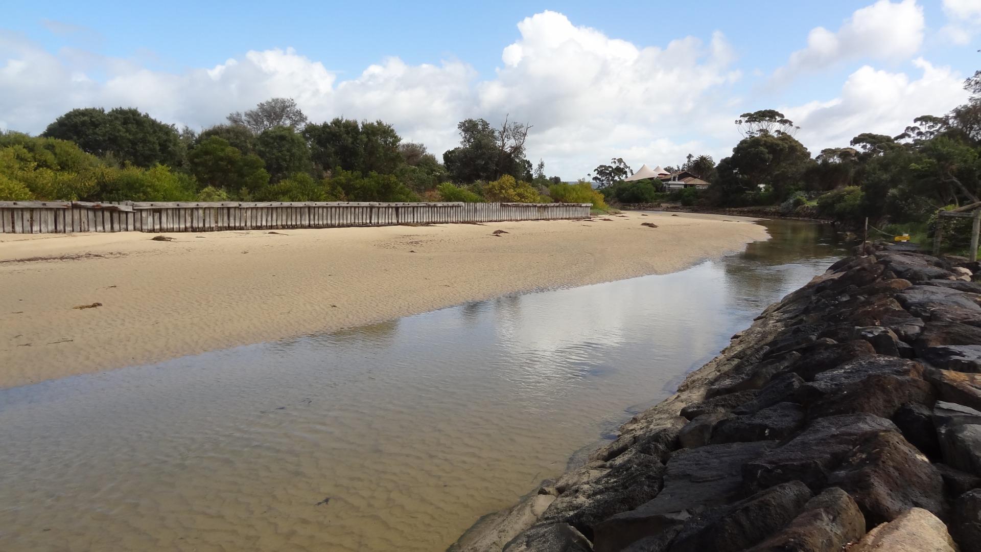
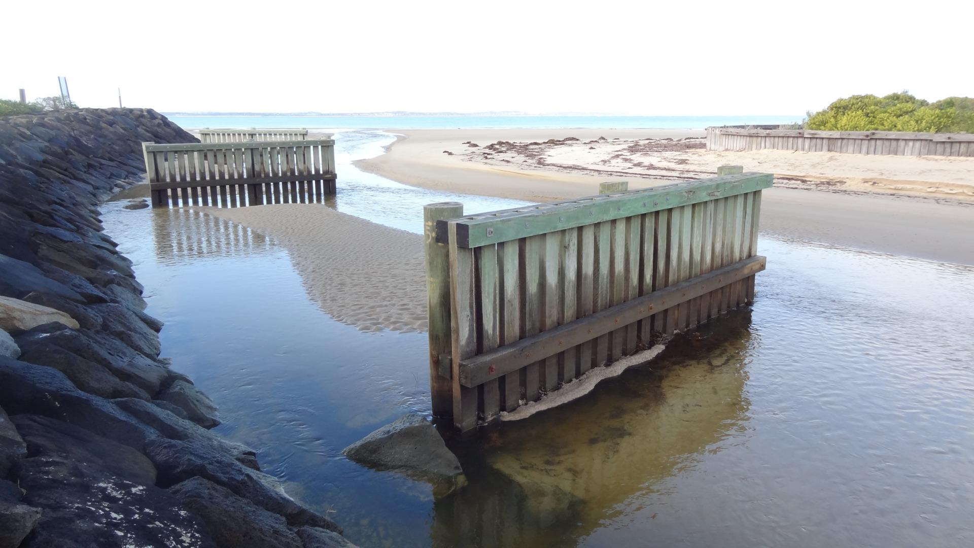
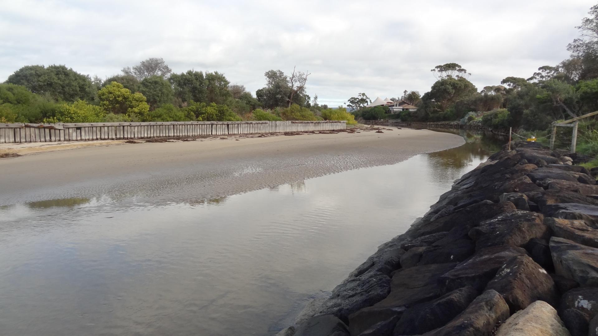
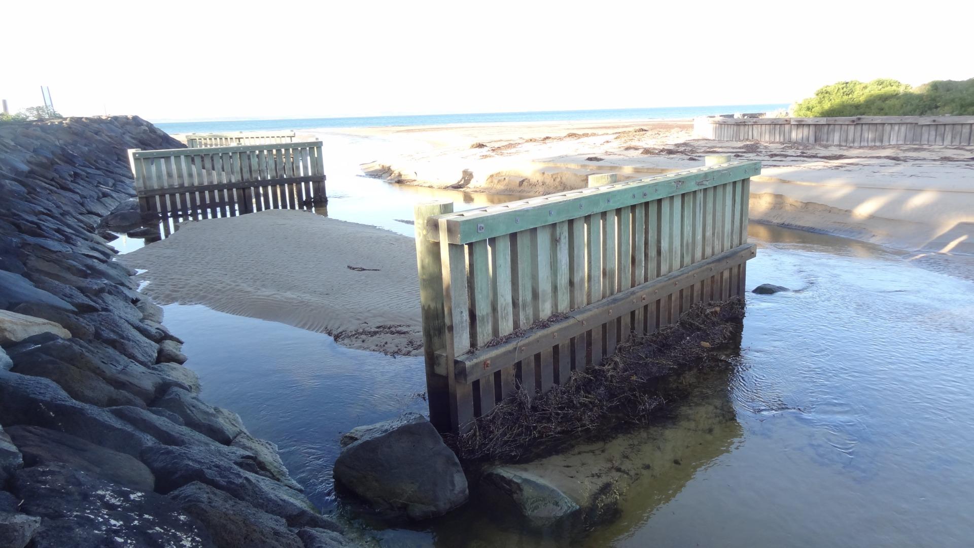
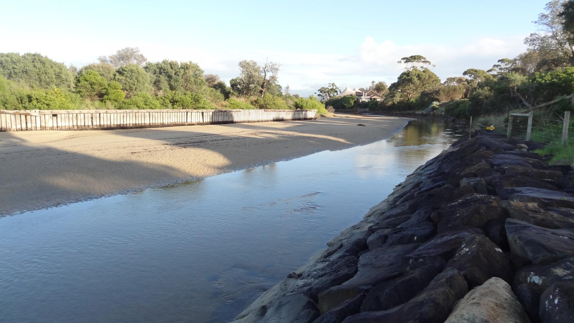
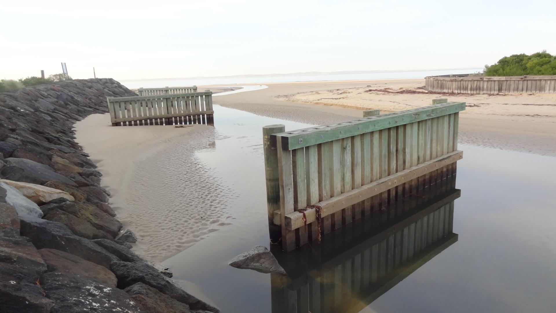
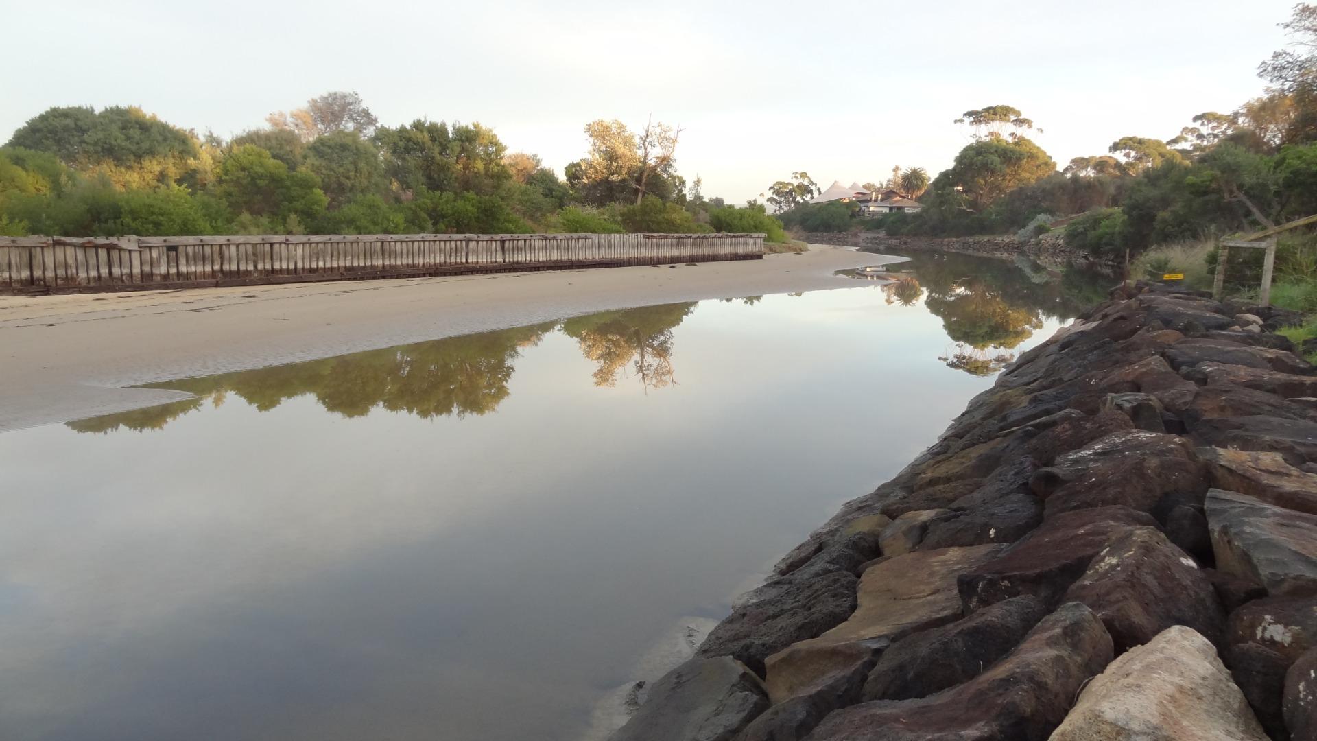
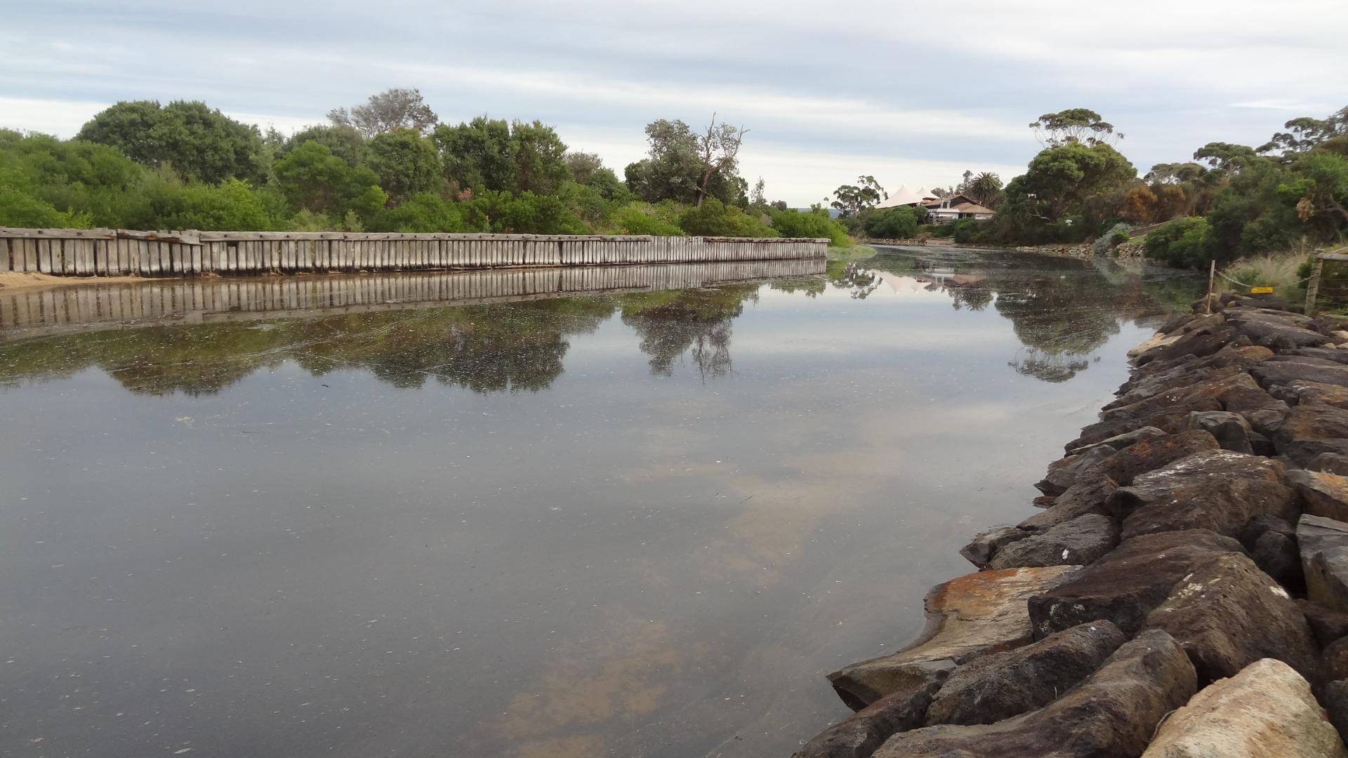
MeMC Merricks Creek Estuary Mouth Observation SiteActive Mouth Condition 07-03-2016 - 01-04-2024Observations are taken from the top of the rock wall on the Somers side of the estuary. |
Observations 95 |
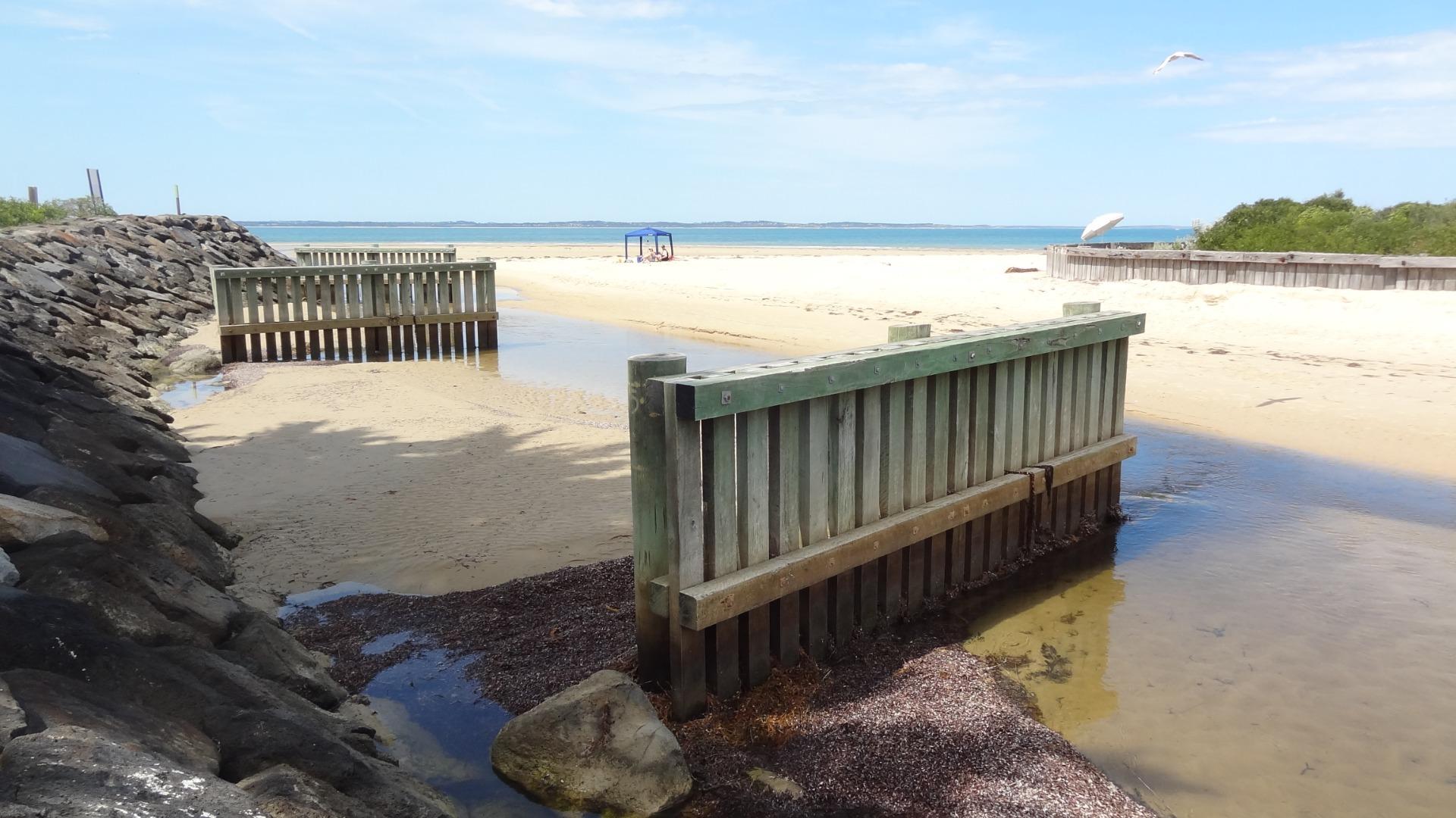
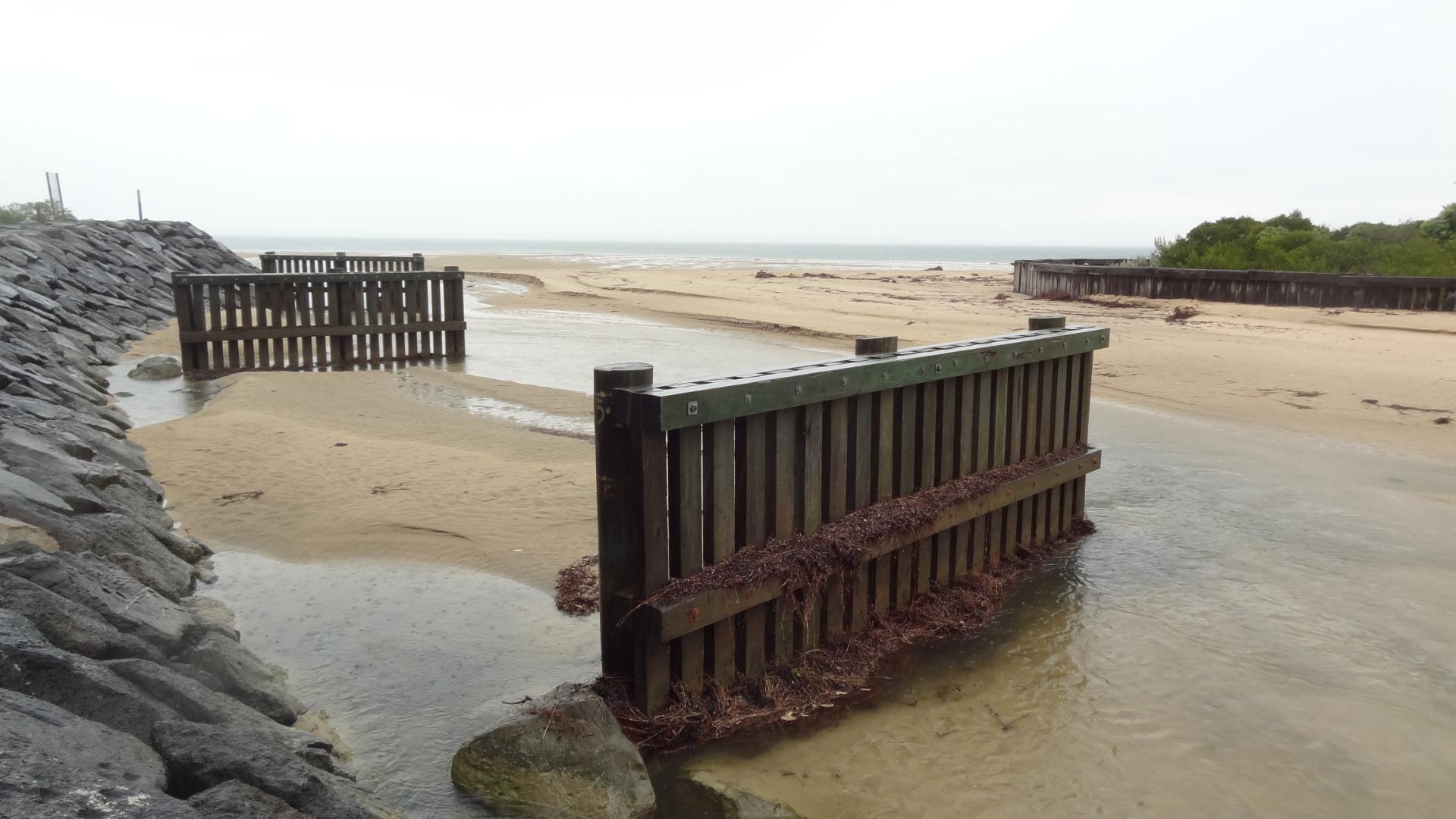
Mep1 Merricks Creek Photopoint 1Active Photopoint 02-01-2017 - 01-04-2024Along the top of the rock wall on the Somers side of the estuary. |
Photos 345 |
Estuary Snapshots
The EstuaryWatch snapshots provide a summary of estuary condition on a particular day. For all EstuaryWatch Snapshots, photopoint photos and a longitudinal water quality profile from the estuary mouth to the inland extent is displayed. Read more
Full estuary snapshots below use dates where samples at every active monitoring site were recorded.
View
full and partial snapshots
Autumn 2024

Summer 2024
Spring 2023
Winter 2023
Autumn 2023

All content, files, data and images provided by the EstuaryWatch Data Portal and Gallery are subject to a Creative Commons Attribution License
Content is made available to be used in any way, and should always attribute EstuaryWatch and www.estuarywatch.org.au