EstuaryWatch Data Portal
Estuary events Wye River Estuary
| Date | Details | |
|---|---|---|
| 25-04-2017 |
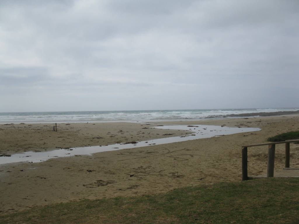
Weather Event Heavy rain overnight and tidal event shifted sand and altered course of river to the sea, exposed shale and storm water drain. Yvonne Sheppard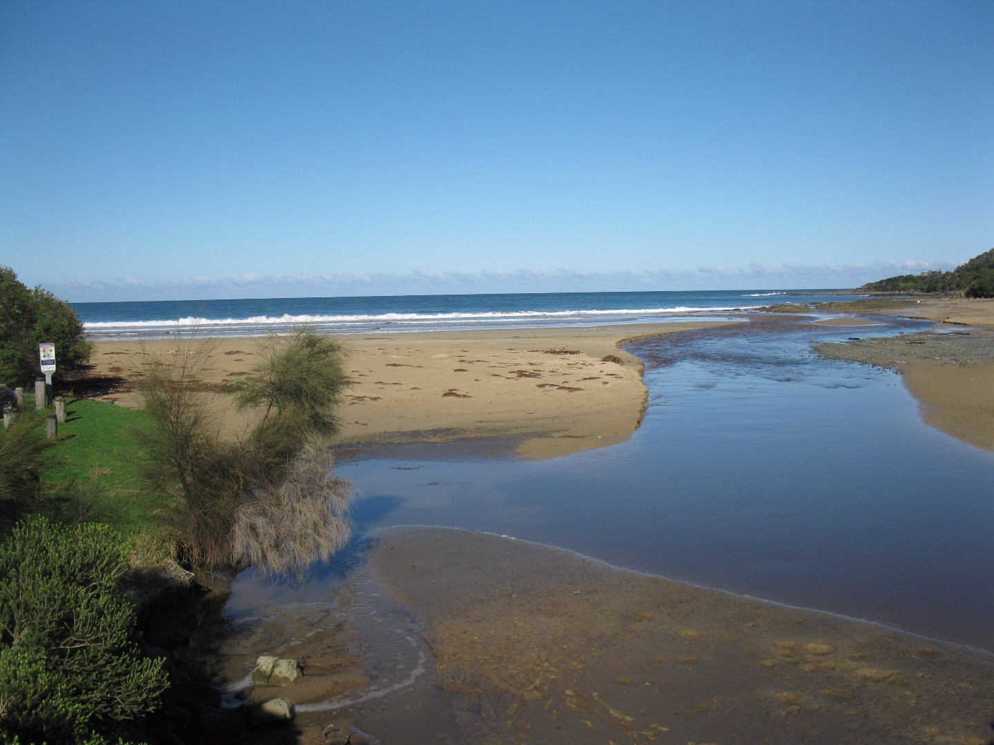 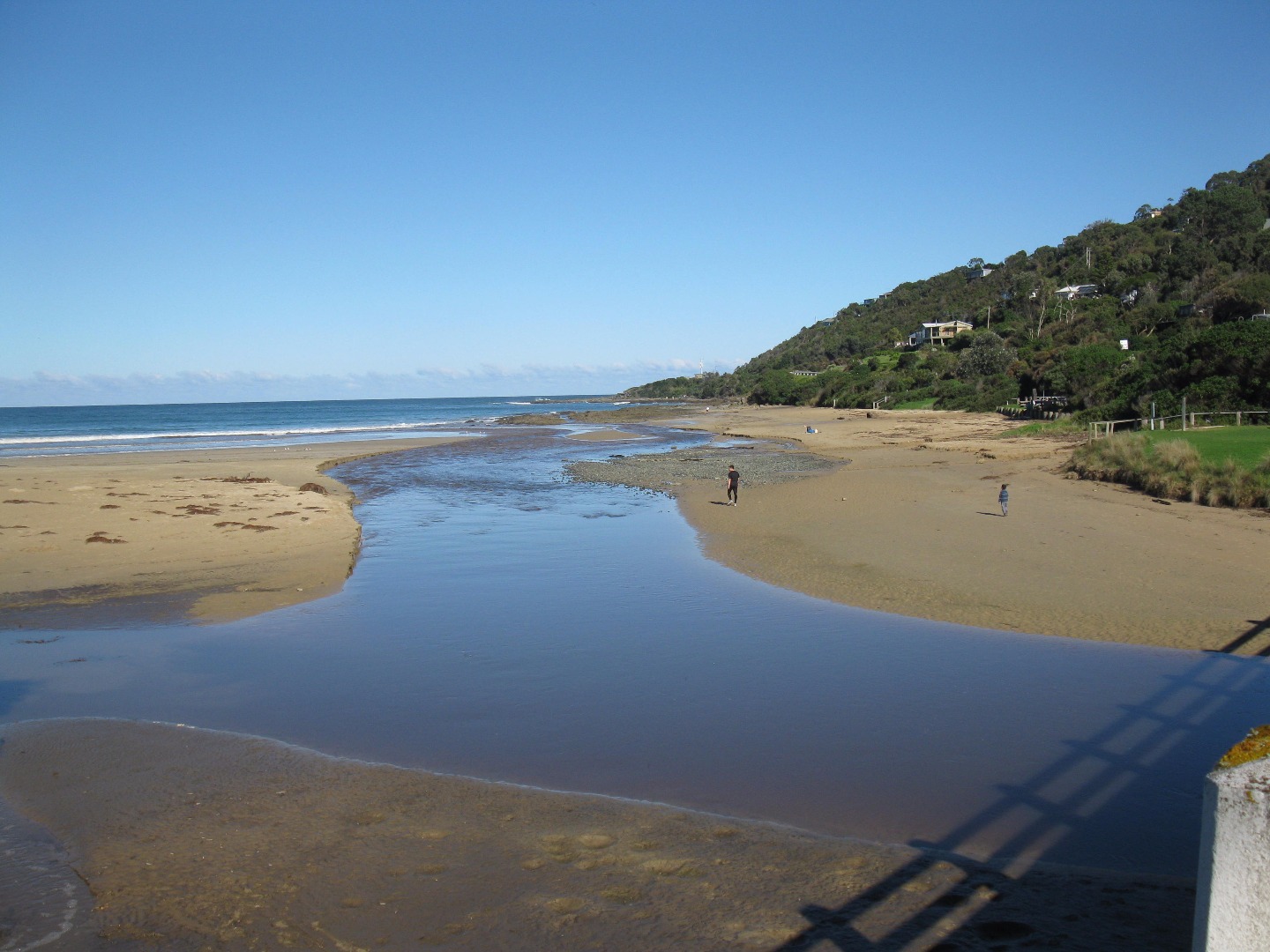 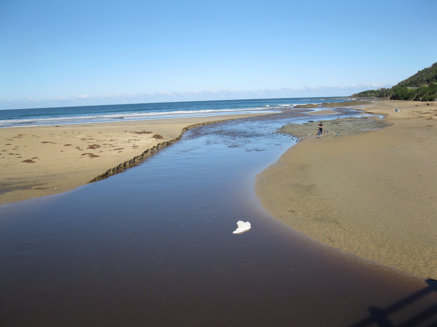  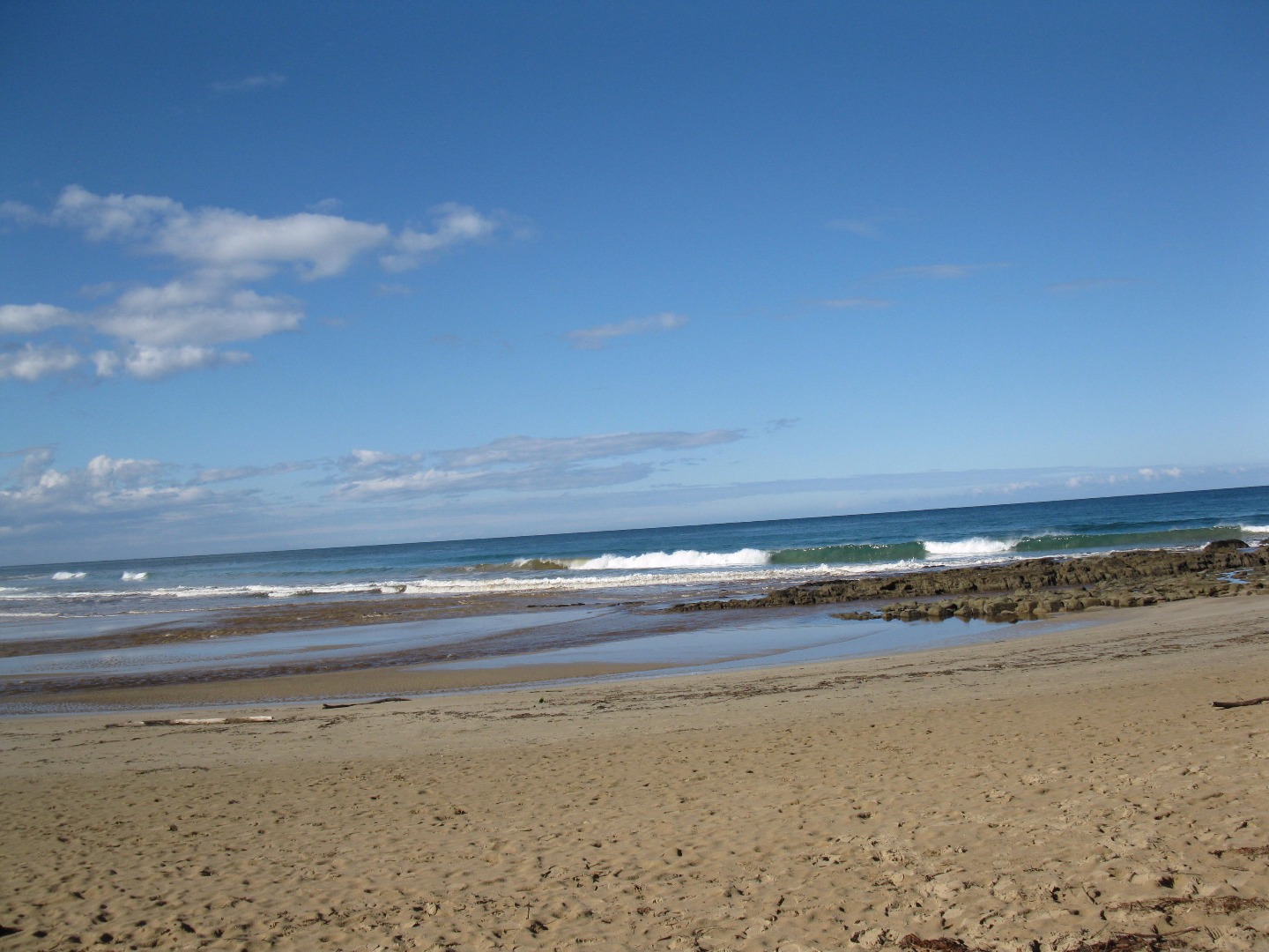 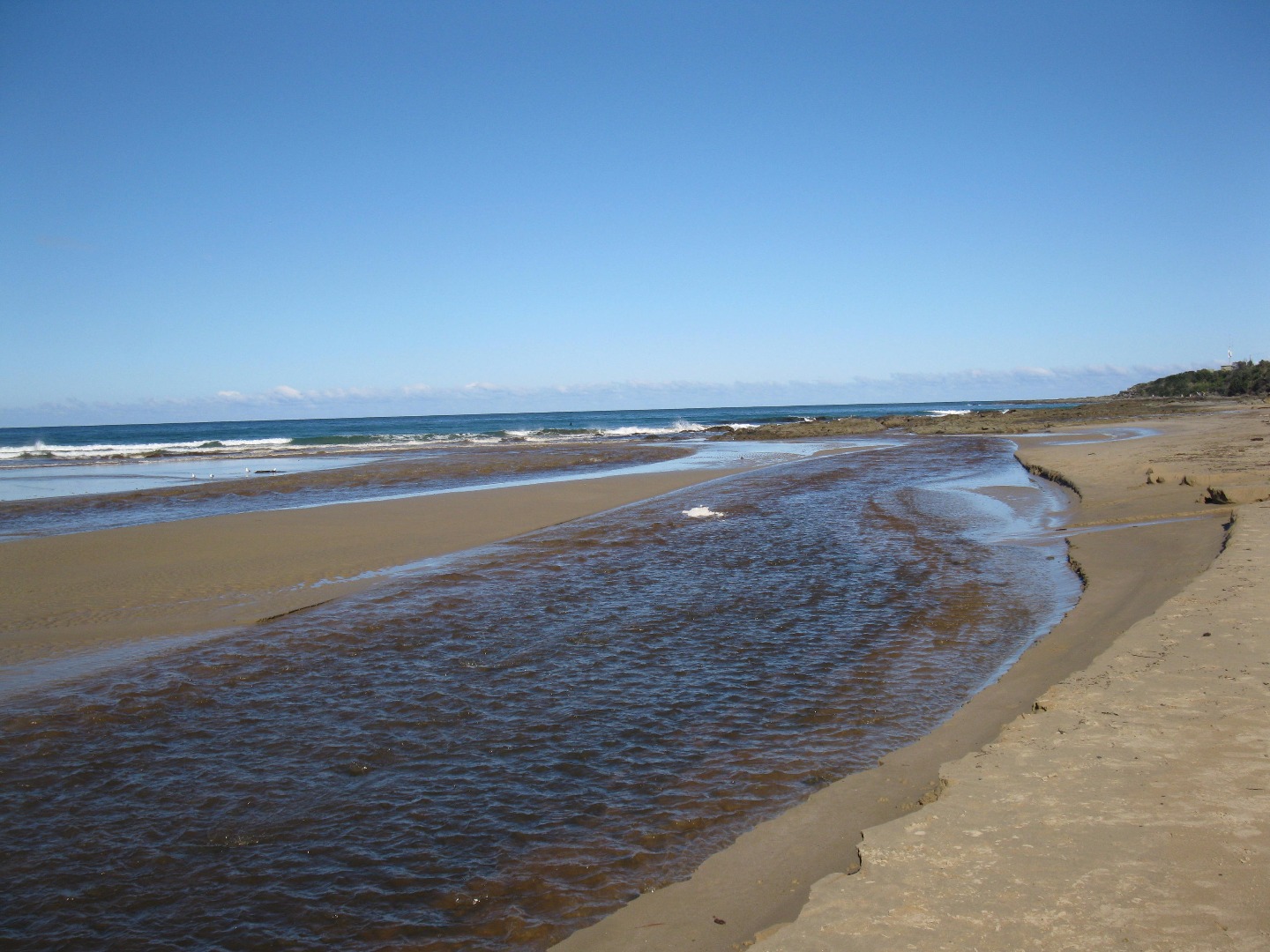 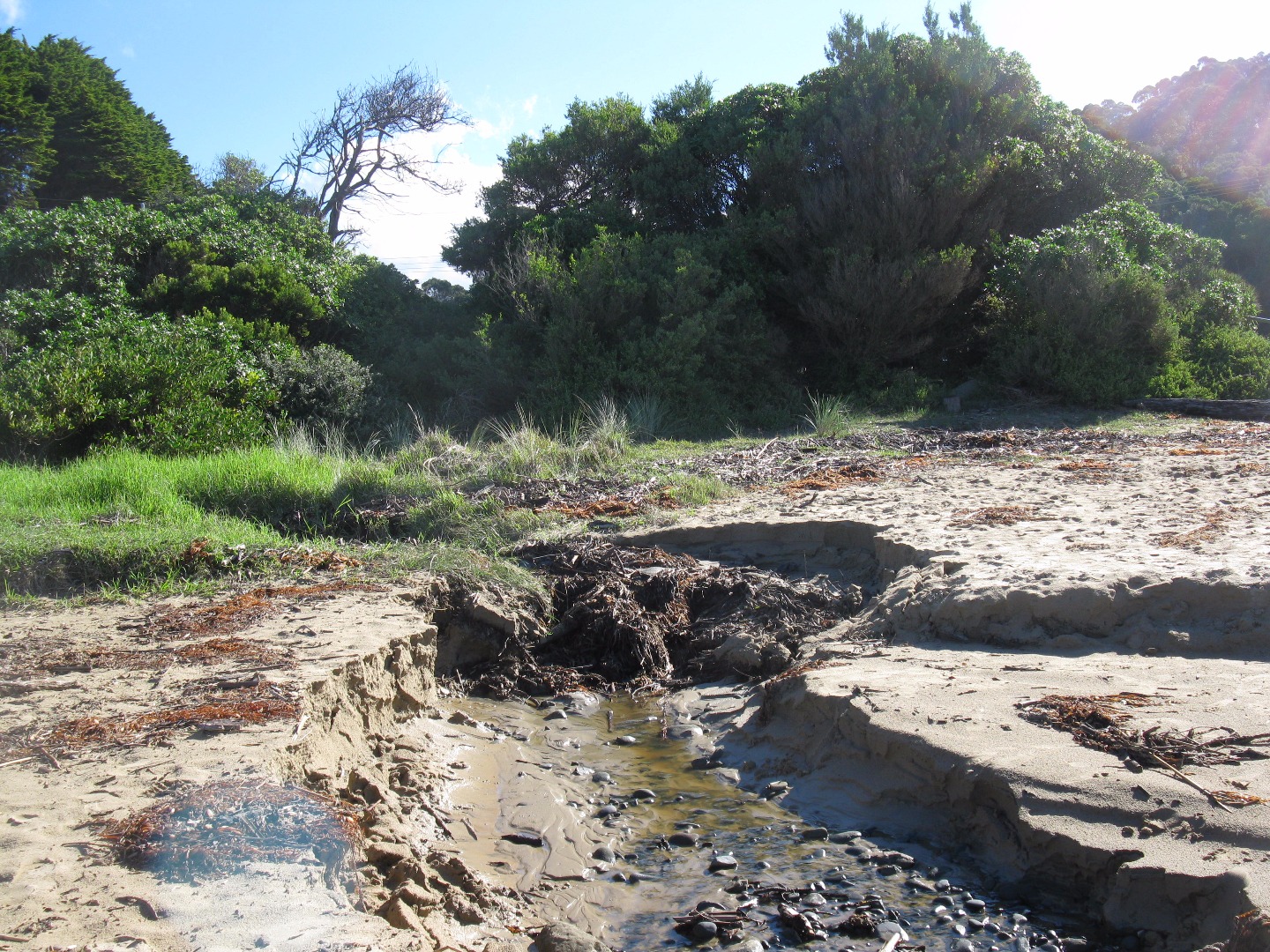 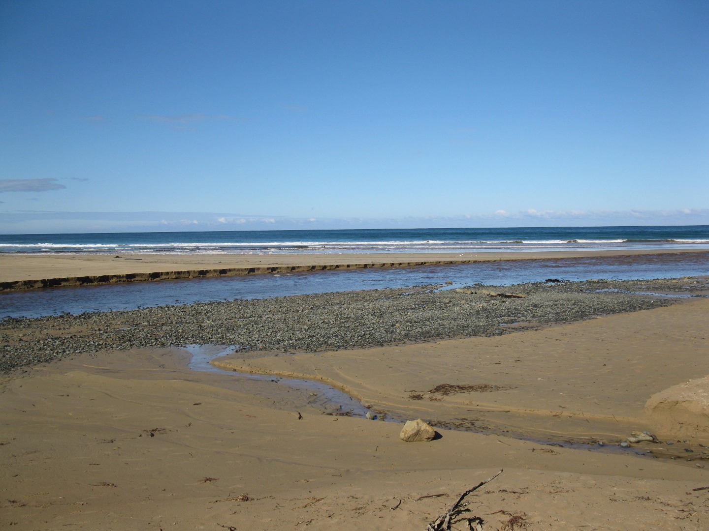 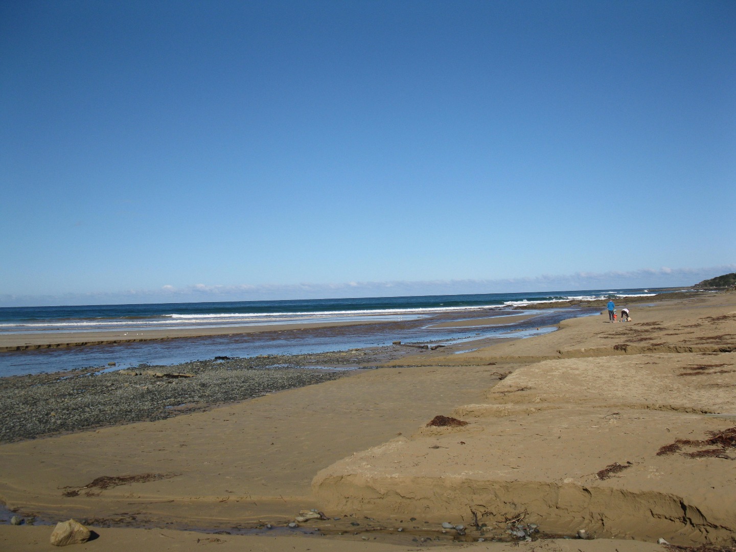 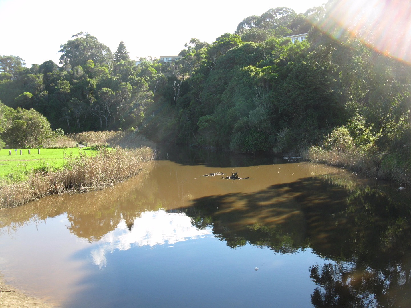 |
|
| 01-04-2017 |
Weather Event Very high tide (1.73m) and big swell drove water high up the beach and under the bridge - waves breaking on the bank by the playground. Water pushed right up to fishing platform jlefeuvre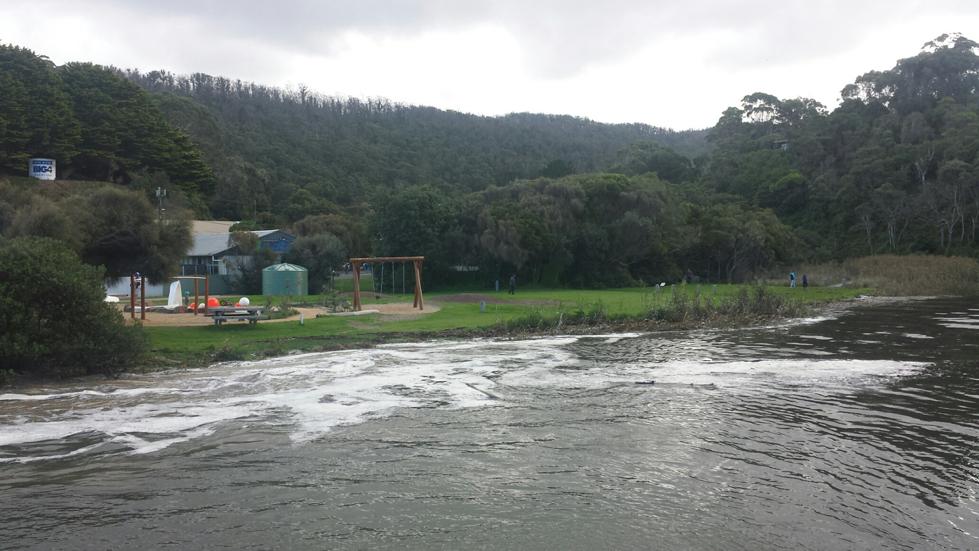  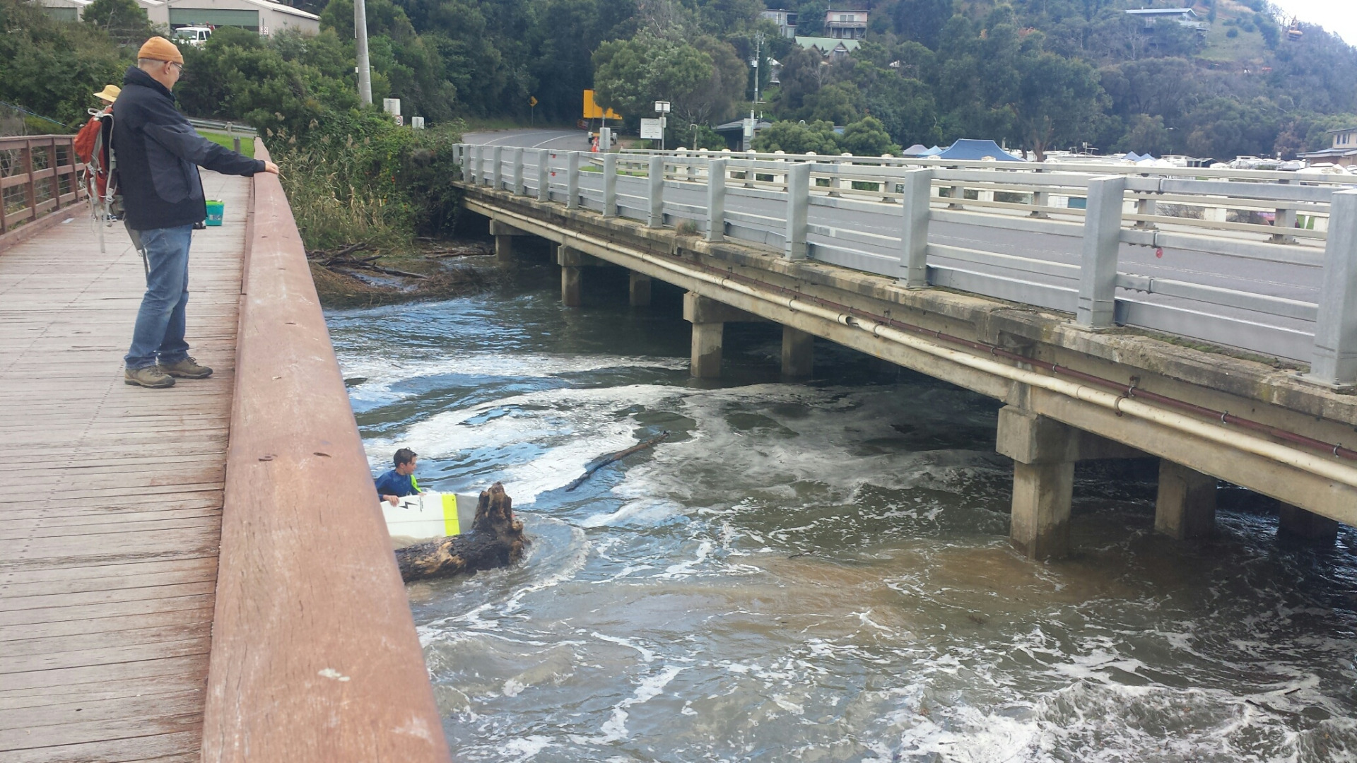 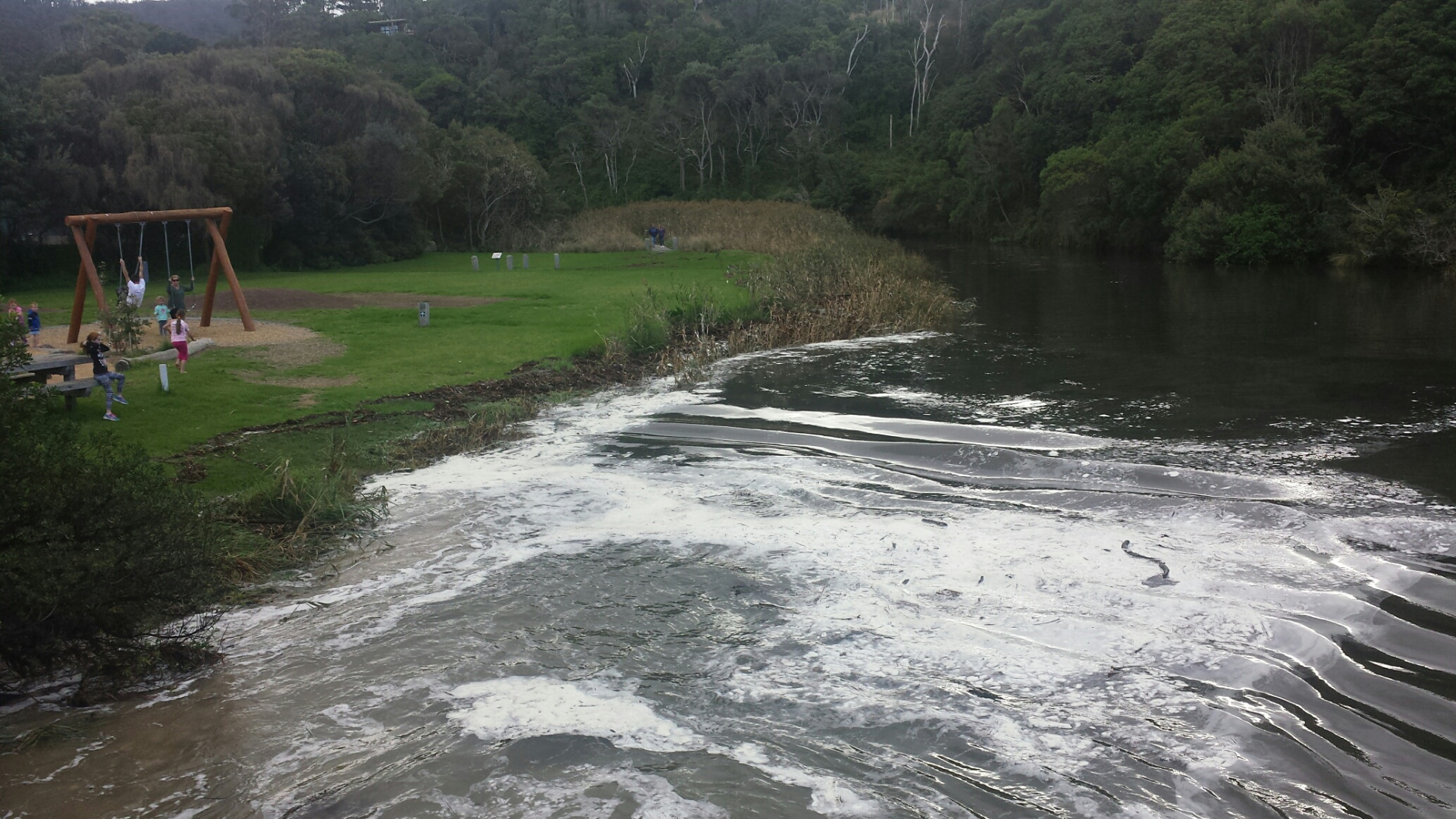 |
|
| 22-03-2017 |
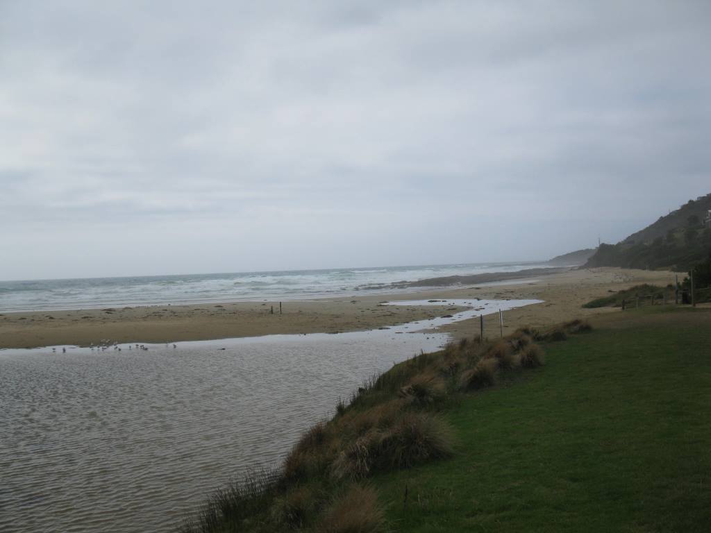
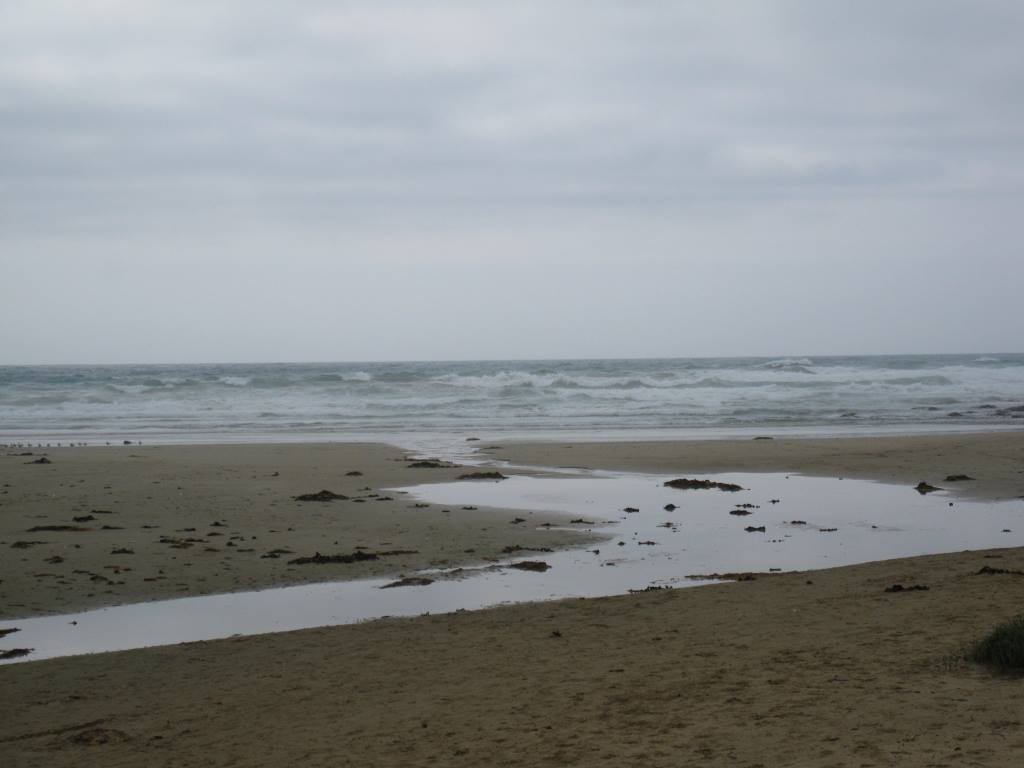
Weather Event 100 ml rainfall event over night 22/23 March 2017. River's normal course across the sand significantly redirected. Substantial sand movement from beach to underneath bridge resulting in narrowing of river at that point. Depth gauge now buried in sand. One week later, 30 March, estuary river course returning to usual position, but sand under bridge still remains. EstuaryWatch monitoring will take place Sunday 2 April. ysheppard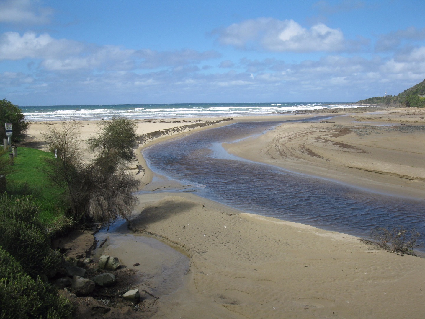 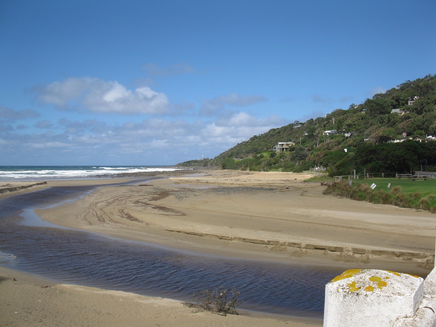 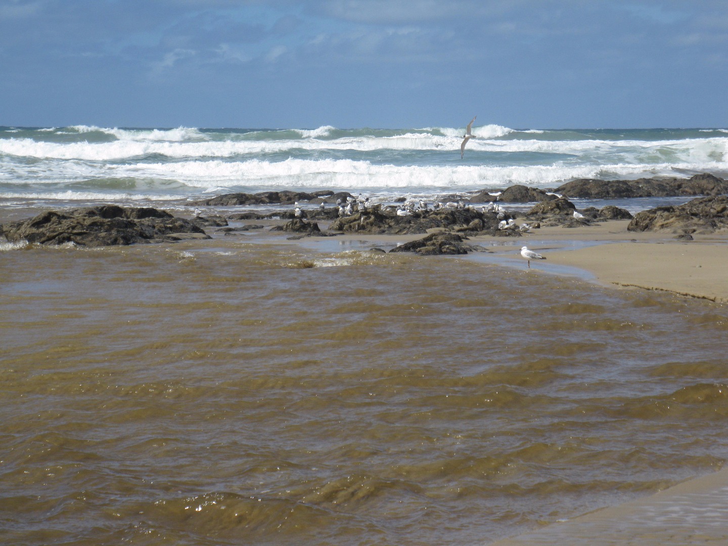 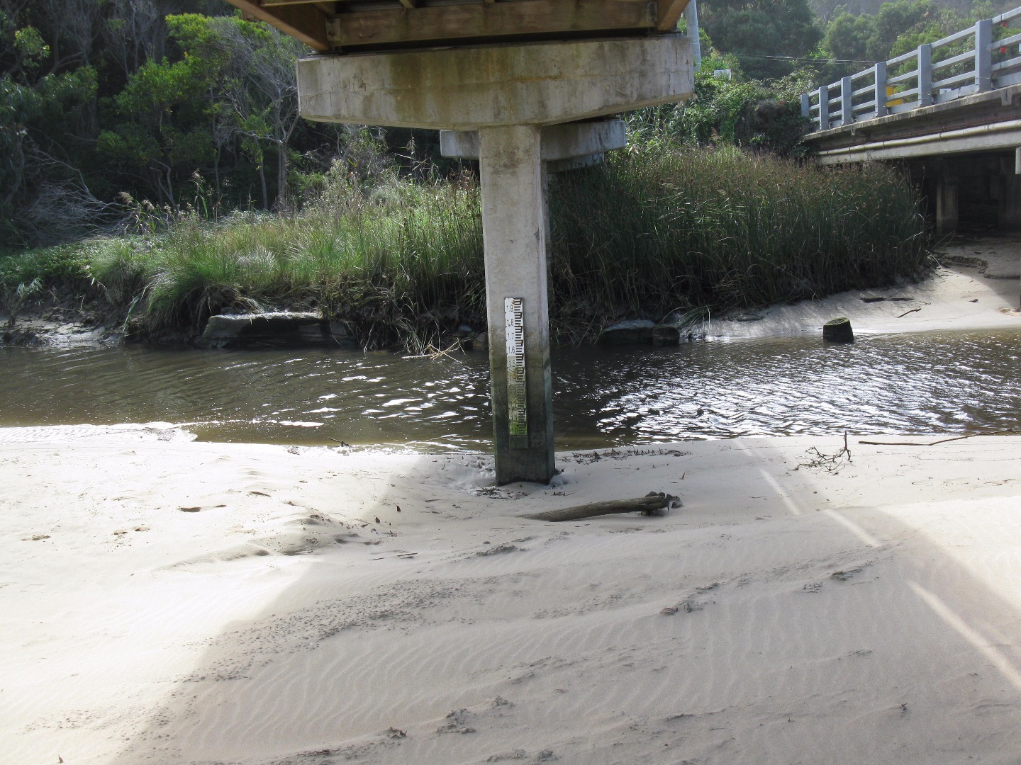 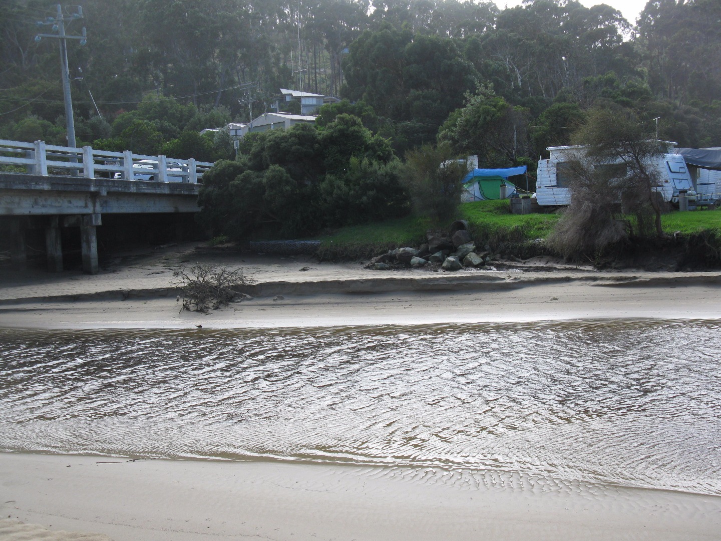 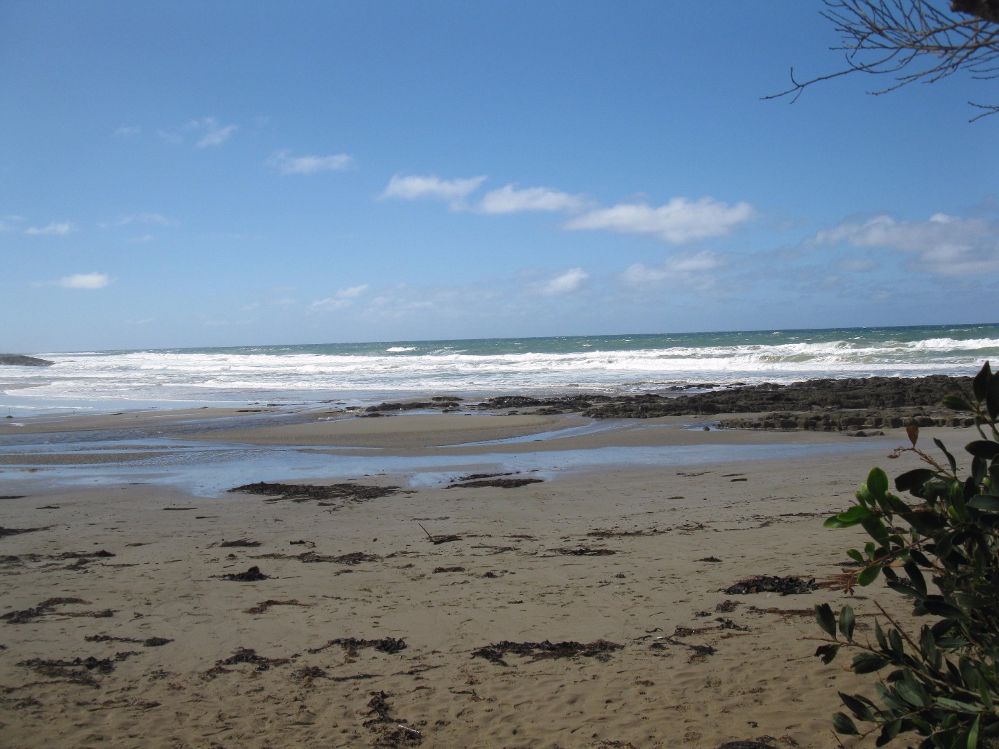 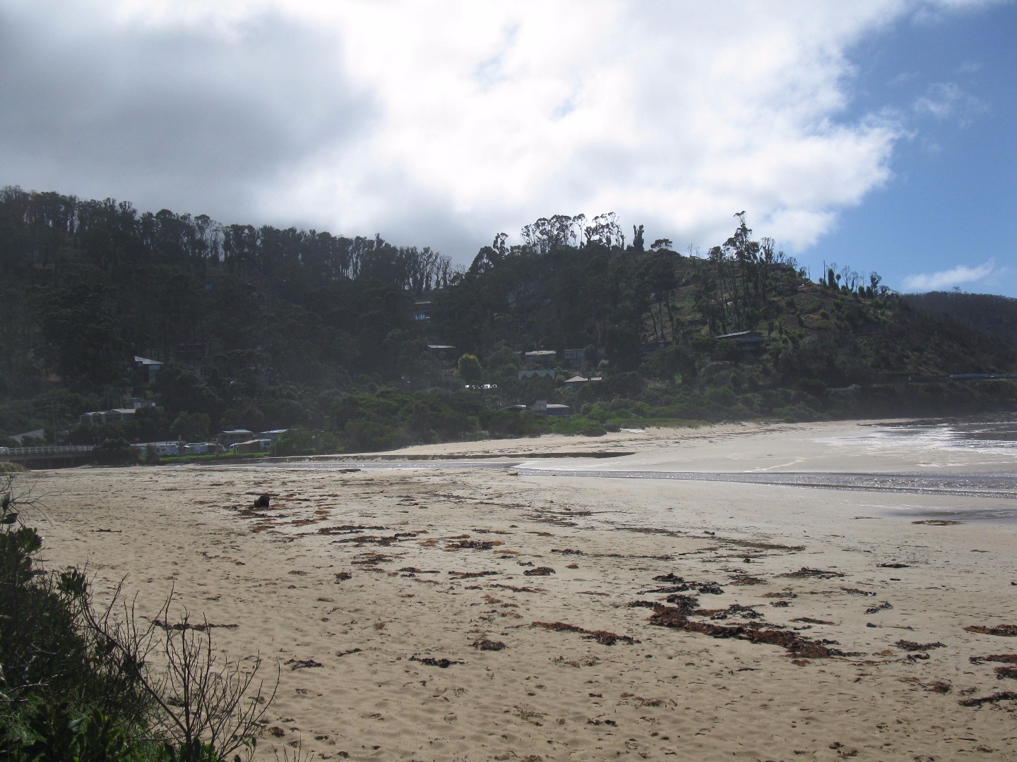  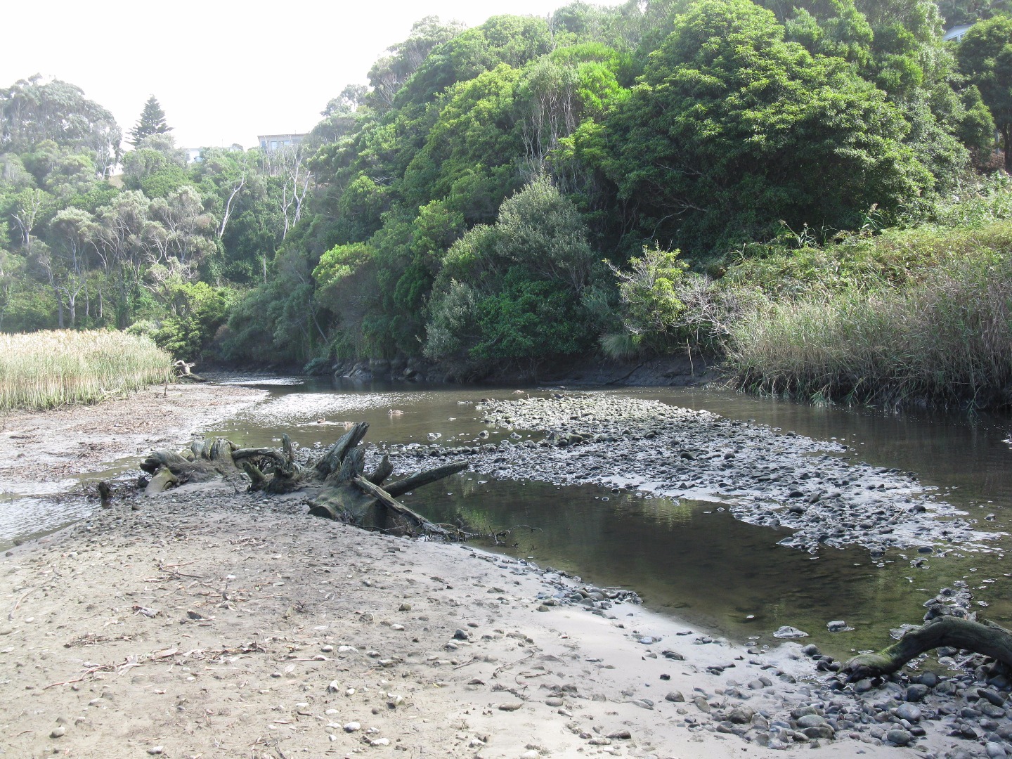 |
|
| 13-02-2016 |
Estuary Entrance Closure Wye River estuary reported as closed to the sea. Rose Herben |
|
| 27-01-2016 |
Estuary Entrance Opening Yesterday morning our river was slowly seeping seaward across the sand. This morning it had made it all the way to the sea. Apparently some rainfall upstream a couple of days ago made all the difference. Will be interesting to see how it looks after today's rain- not as much as Geelong received I hasten to add. Rose Herben |
|
| 22-01-2016 |
Unusual/Extraordinary occurrence! WYE RIVER RUNS DRY AFTER FIREFIGHTERS HAD TO PULL WATER TO EXTINGUISH BLAZE WEEKS after a bushfire devastated Wye River it has faced another crisis- the town almost ran out of water.Firefighters had to pull water from the river to save the town from the Christmas Day bushfire, which destroyed 116 homes in extreme heat.But then the small community came close to running dry."(The river's) dried up to a point where it can"t supply enough water to keep the town going," local plumber and volunteer firefighter Dave Kohout said.On January 9 local man "Wellsy" and others talked to Emergency Management Commissioner Craig Lapsley about the approaching water crisis.They got permission to install four 22,000-litre water tanks at Howie's Beach in Separation Creek, allowing water to be transported in to keep the town going."The domestic houses work on roof water, (but) all the commercial properties rely on the river to supply their water," Mr Kohout said.The local pub, caravan parks, shop and surf club are sharing water with one another, as the town bids to recover from the bushfire at the height of tourist season."The pub and the shop are saying that their numbers are back up near normal. The caravan parks are pretty full,' Mr Kohout said. "(But) we are finding that as far as the town goes, there's a lot less people than normally." Everyone from the prime minister down praised the Wye River community's planning for the fire, but Mr Kohout said no one planned for how the town would recover."We trained and everything and we knew what to do with the event, but we never really thought about how it would work afterwards," he saidThe Great Ocean Road remains open, however due to potential severe weather conditions a 40km/h speed restriction is in place from Jamieson Track to The Boulevard in Wye River.The CFA has warned that runoff caused by heavy rain could lead to flash flooding, with trees burnt or damaged by heat and fire becoming unstable. Geelong Advertiser Rose Herben |
|
| 04-01-2016 |
Unusual/Extraordinary occurrence! Gas bottles seen floating down estuary after fires hit Wye River December 2015. Rose Herben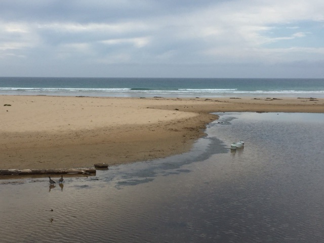 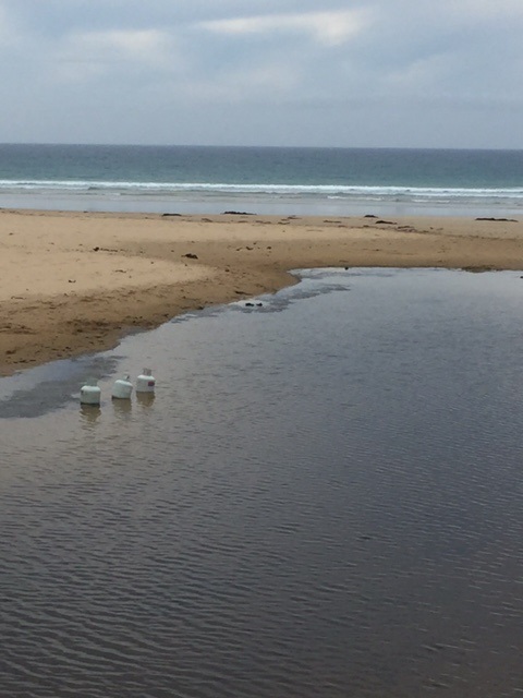 |
|
| 25-12-2015 |
Estuary Entrance Closure Estuary closed due to water extraction to put out the bush fires. Rose Herben |
|
| 25-12-2015 |
Unusual/Extraordinary occurrence! Bushfire in the Otways reaches Wye River and Separation Creek. The blaze destroyed 116 homes in Wye River and Separation Creek. Rose Herben |
|
| 20-12-2015 |
Unusual/Extraordinary occurrence! This weekend the weather fire rating scale has been Extreme. it has been hot and windy. The storm last night has given us very little rain - but lightening strikes have caused fires round us. The river has formed a large pond on the sea side of the bridge. it has big clumps of yucky vegetation floating in it. the river is still flowing into the sea although holiday makers are constantly trying to dam it. Wye River EstuaryWatcher Rose Herben |
|
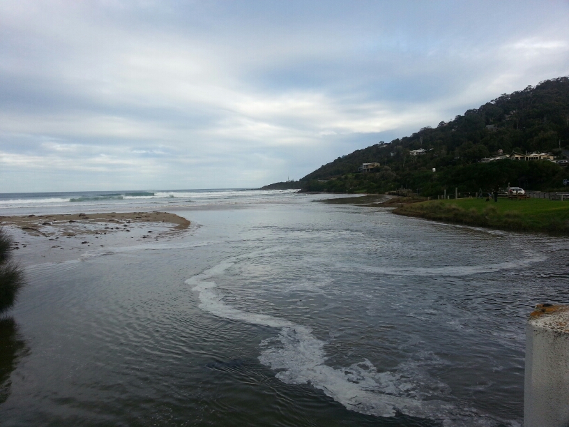
| 05-07-2015 |
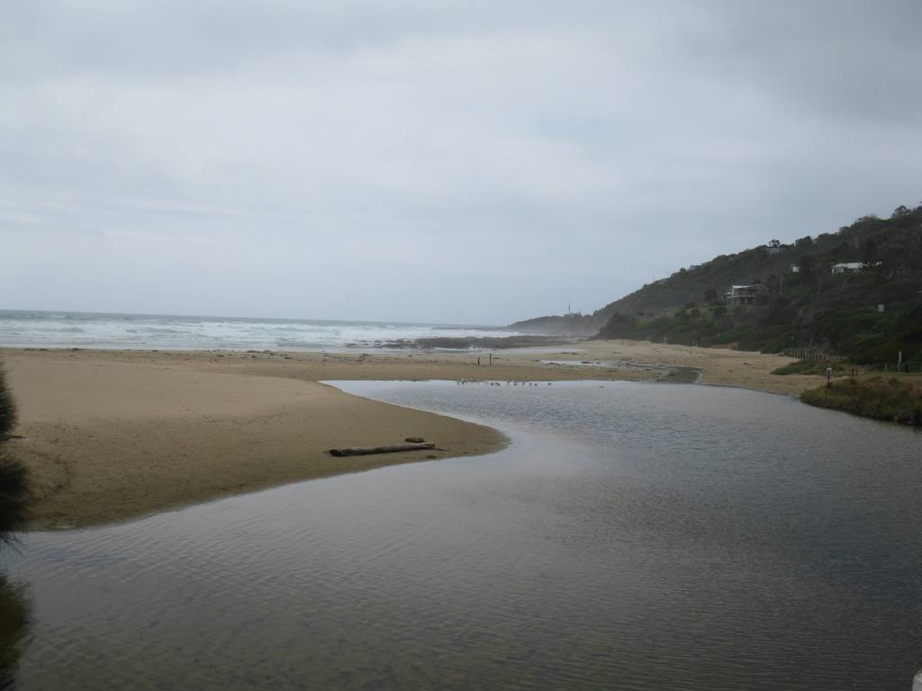
Weather Event Very high tide photographed at 14.45 on Sunday 5 July 2015 - the water level on the marker was 1.6m. Waves were causing erosion at the beach ramp and undercutting the grassed area. A real contrast to the morning's monitoring photo when all was tranquil and the depth marker high and dry. There have been a number of similarly high tides over the last couple of weeks, resulting in marked changes to the estuary area. Juliet Le Feuvre |
|
| 22-03-2015 |
Estuary Entrance Closure The river mouth closed following a high tide (1.6 m - high due to equinox) at 14.05. The mouth had been open earlier in the day with a small flow going out to sea. Juliet Le Feuvre |
|
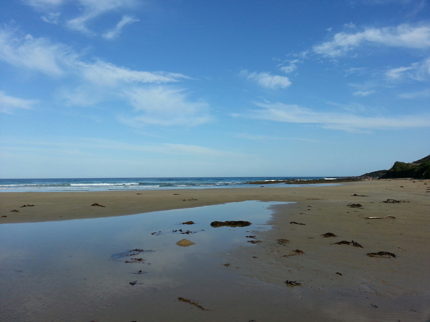
| 02-06-2013 |
Weather Event The Wye River followed an unusual path after extreme weather and recent heavy rain. Photo attached dated 20130602_ Wye River Jennifer Kamp |
|
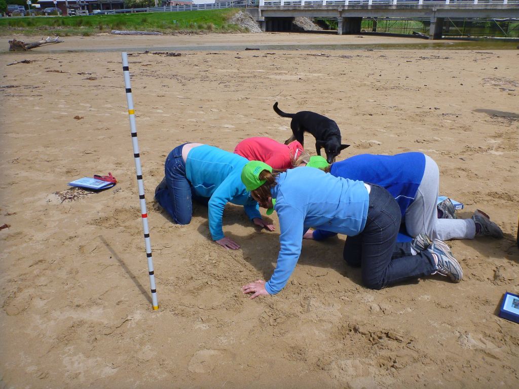
| 28-10-2012 |
EstuaryWatch Monitoring Group notices & meetings First meeting of Wye River EstuaryWatch. Training conducted. Excellent group shots taken. Green hats modelled. Sue Laws |
|


All content, files, data and images provided by the EstuaryWatch Data Portal and Gallery are subject to a Creative Commons Attribution License
Content is made available to be used in any way, and should always attribute EstuaryWatch and www.estuarywatch.org.au