EstuaryWatch Data Portal
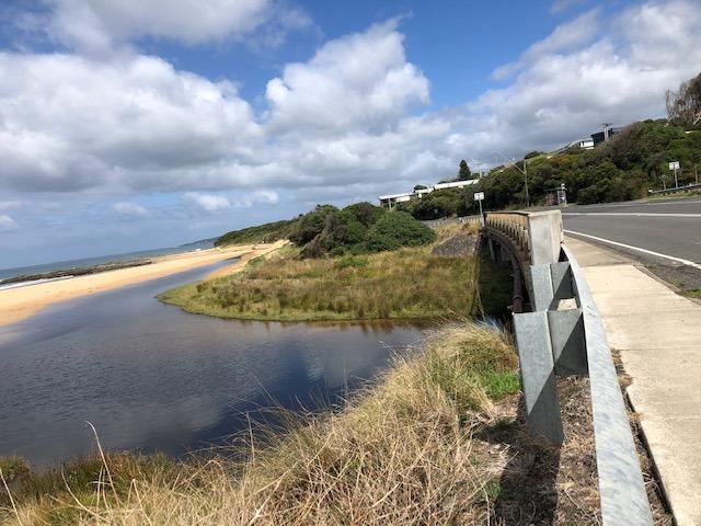
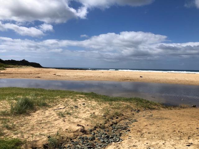
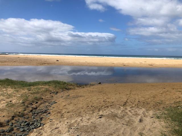
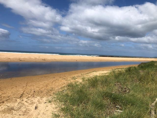
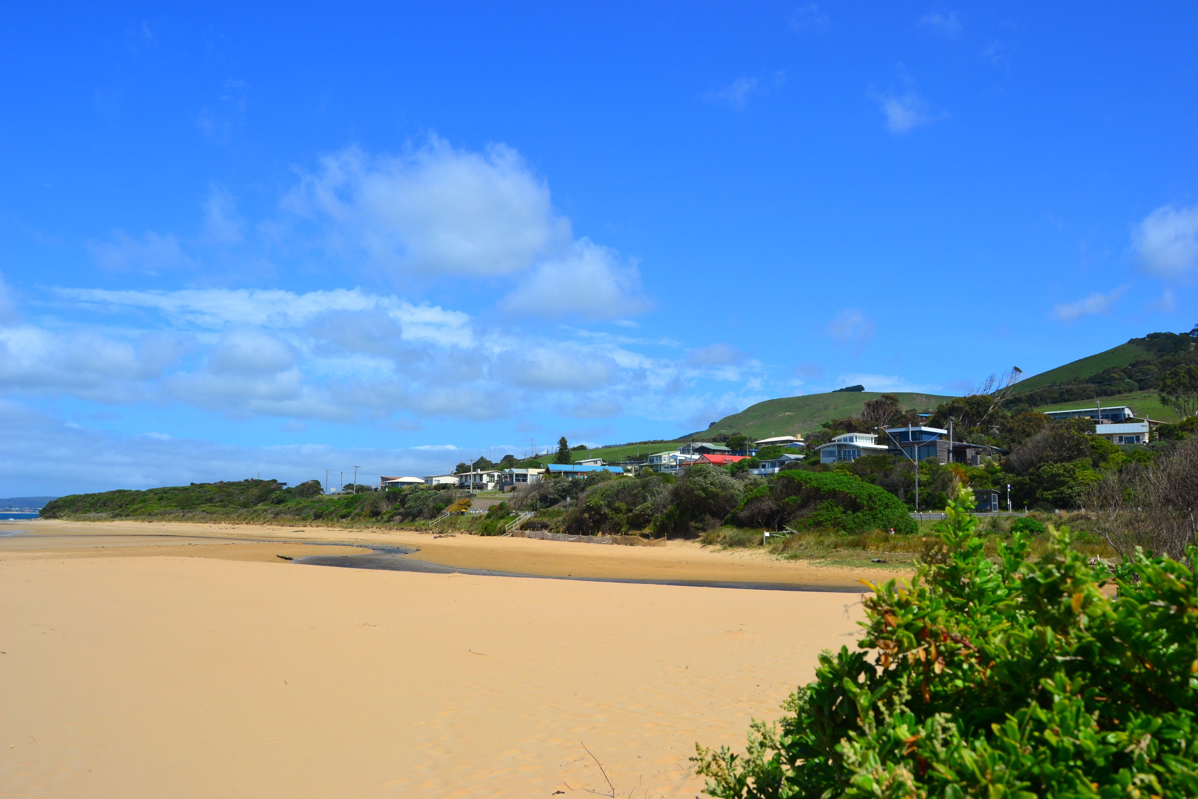
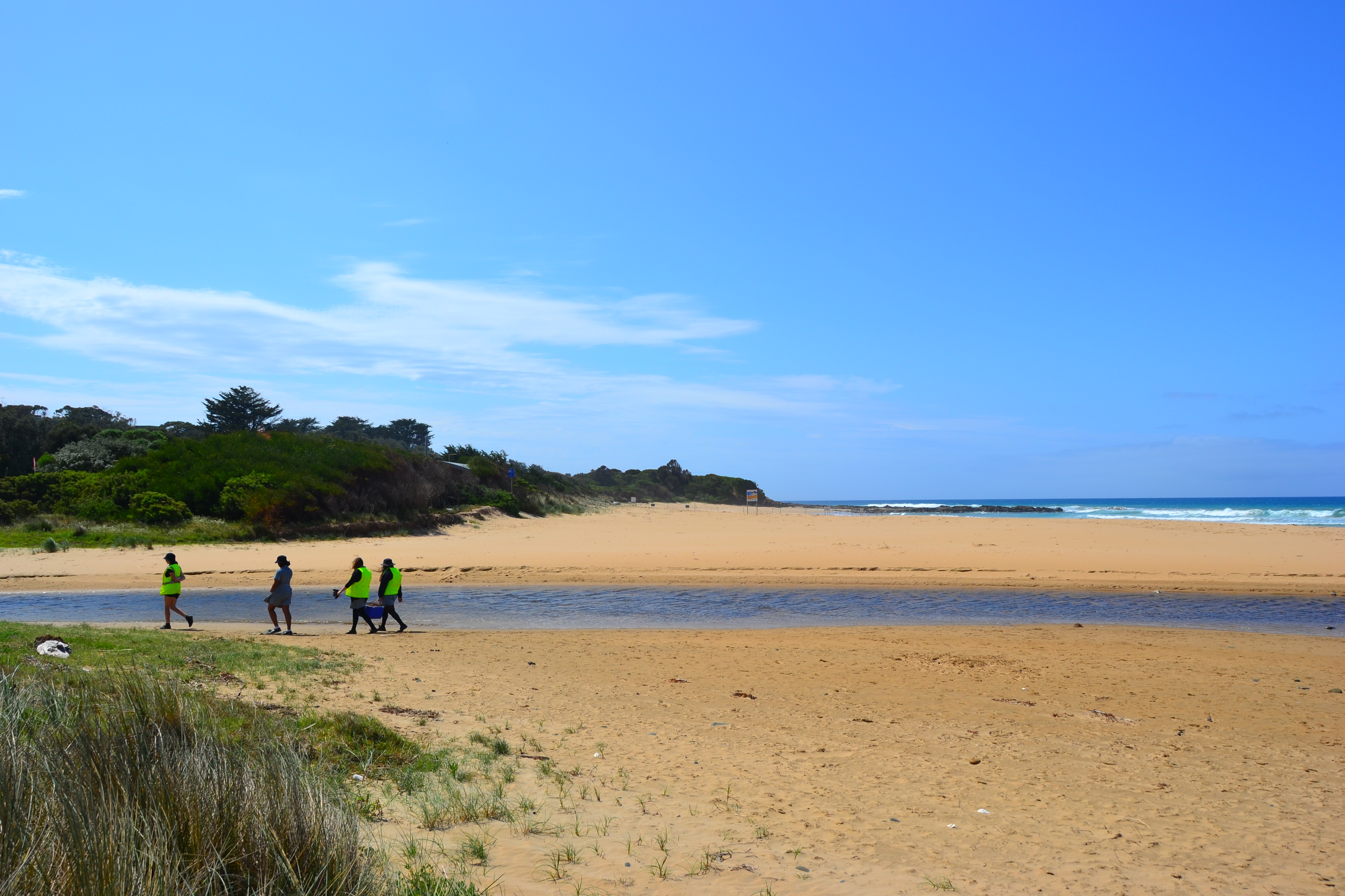
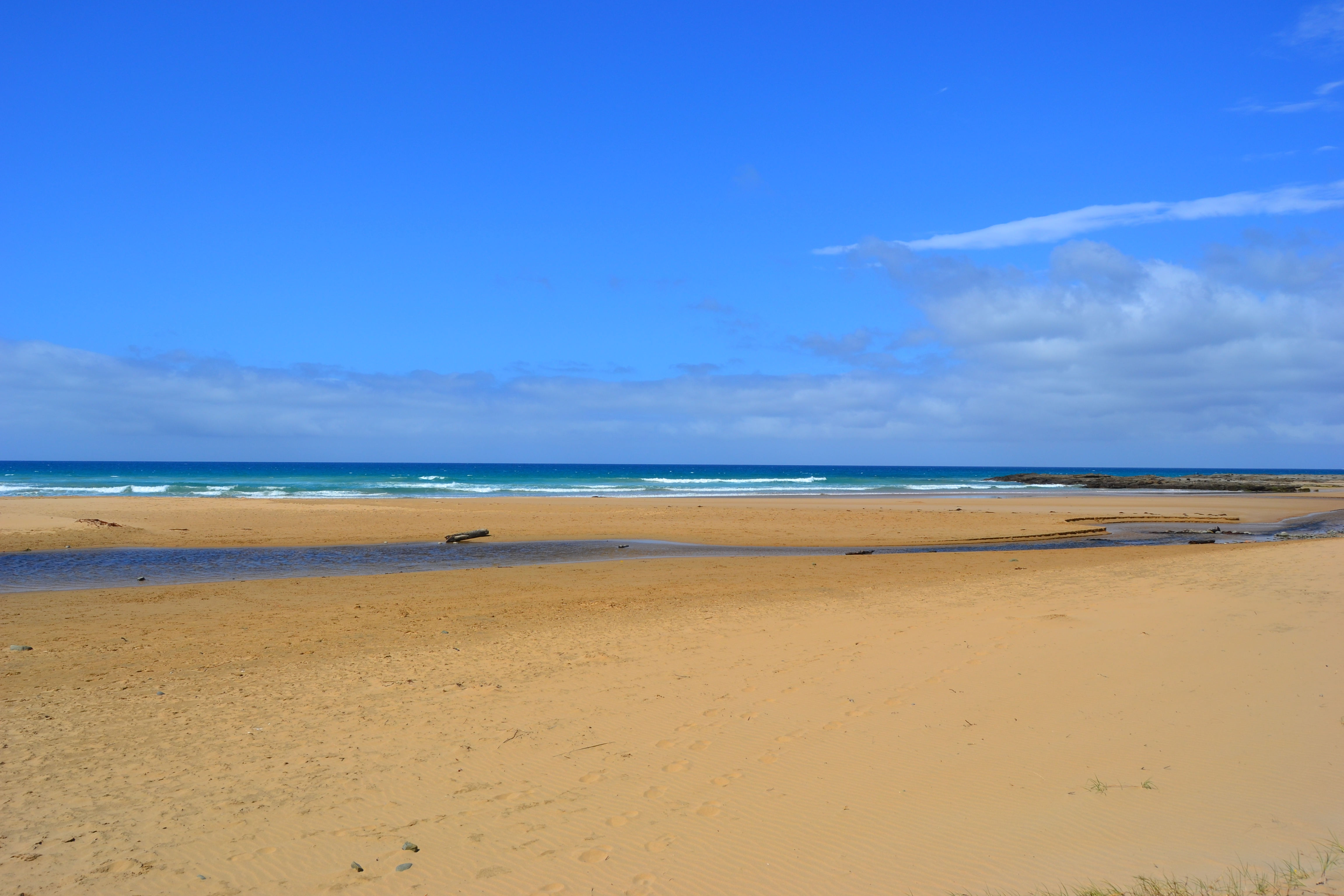
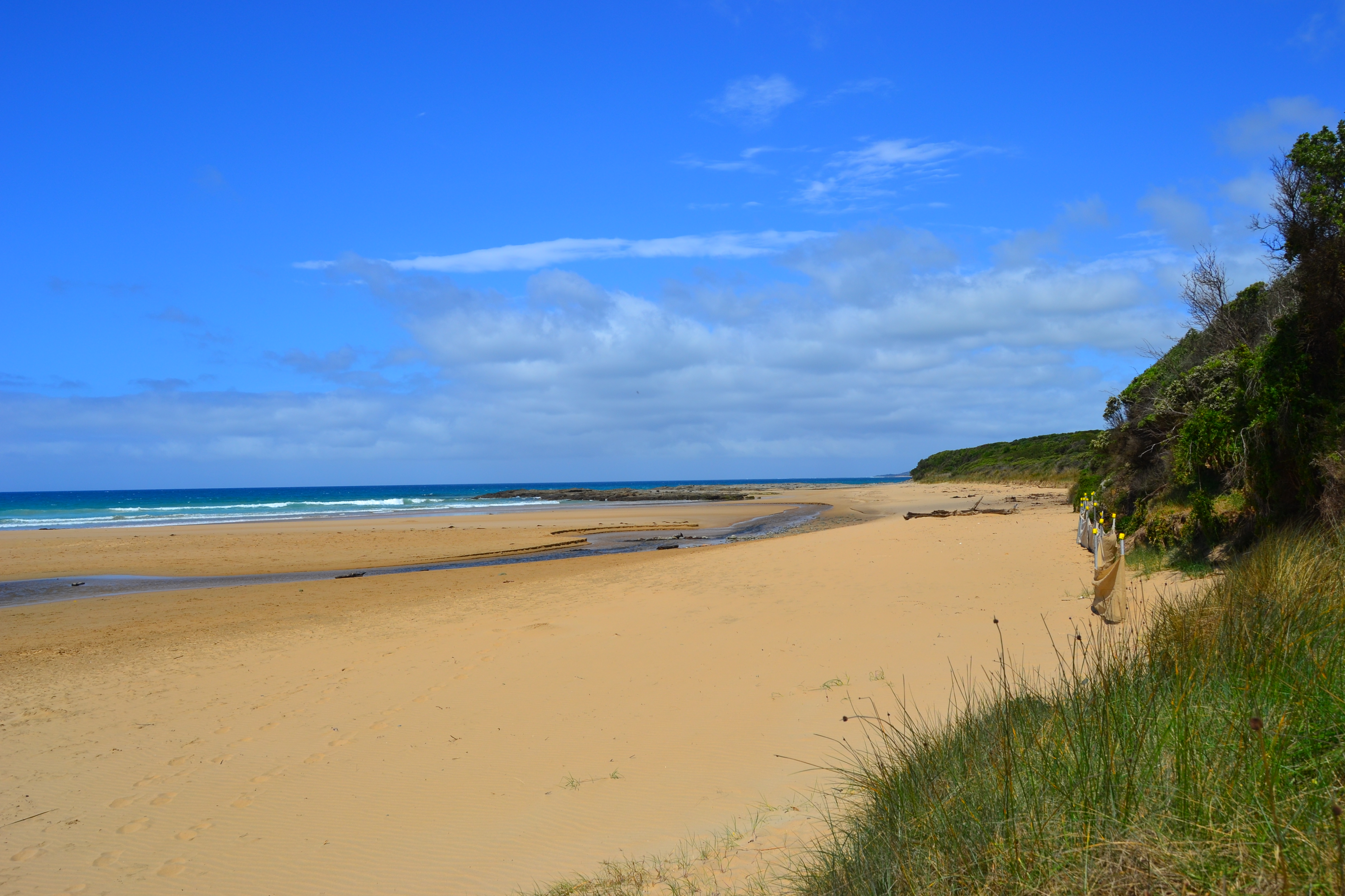
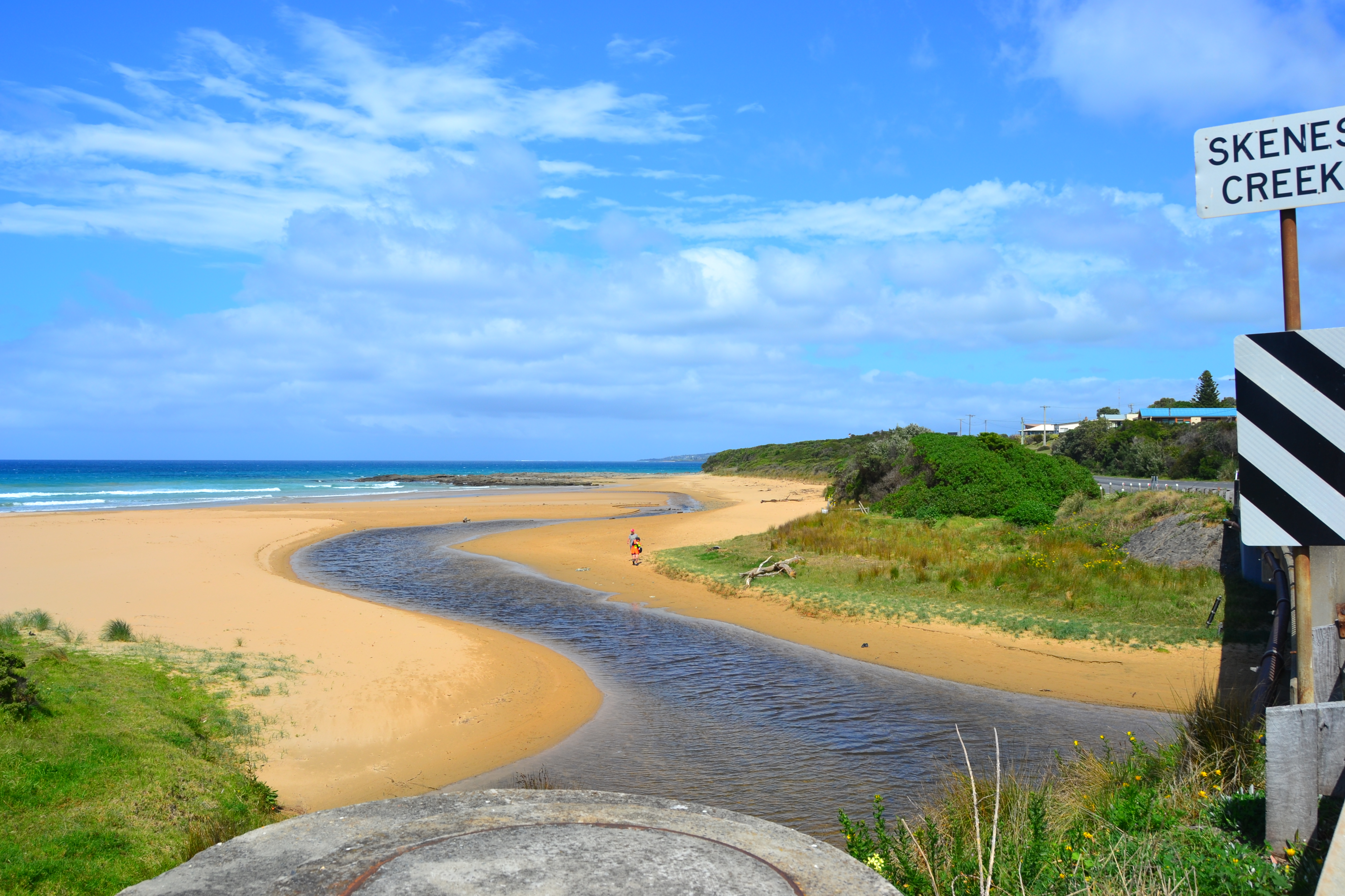
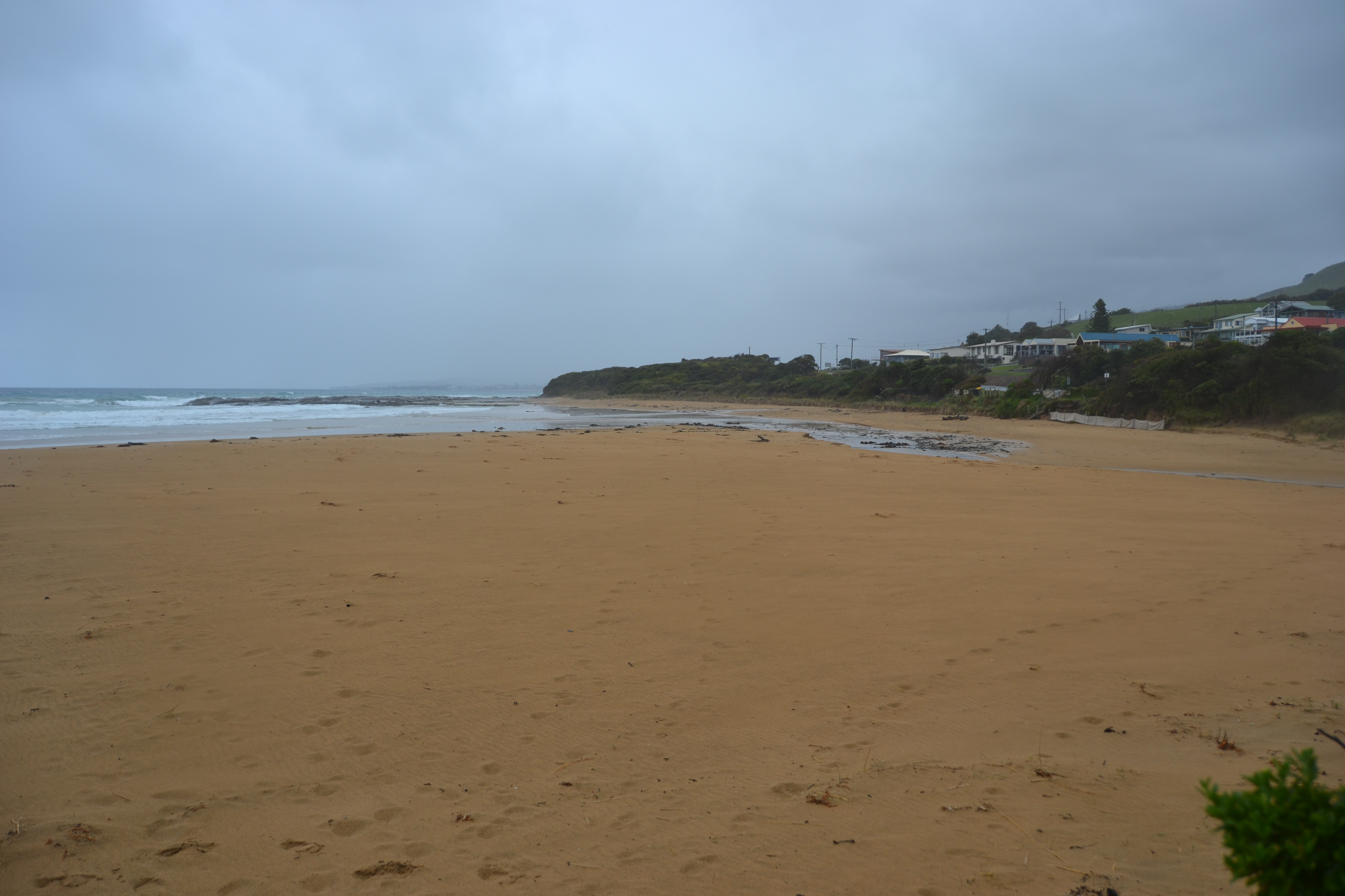
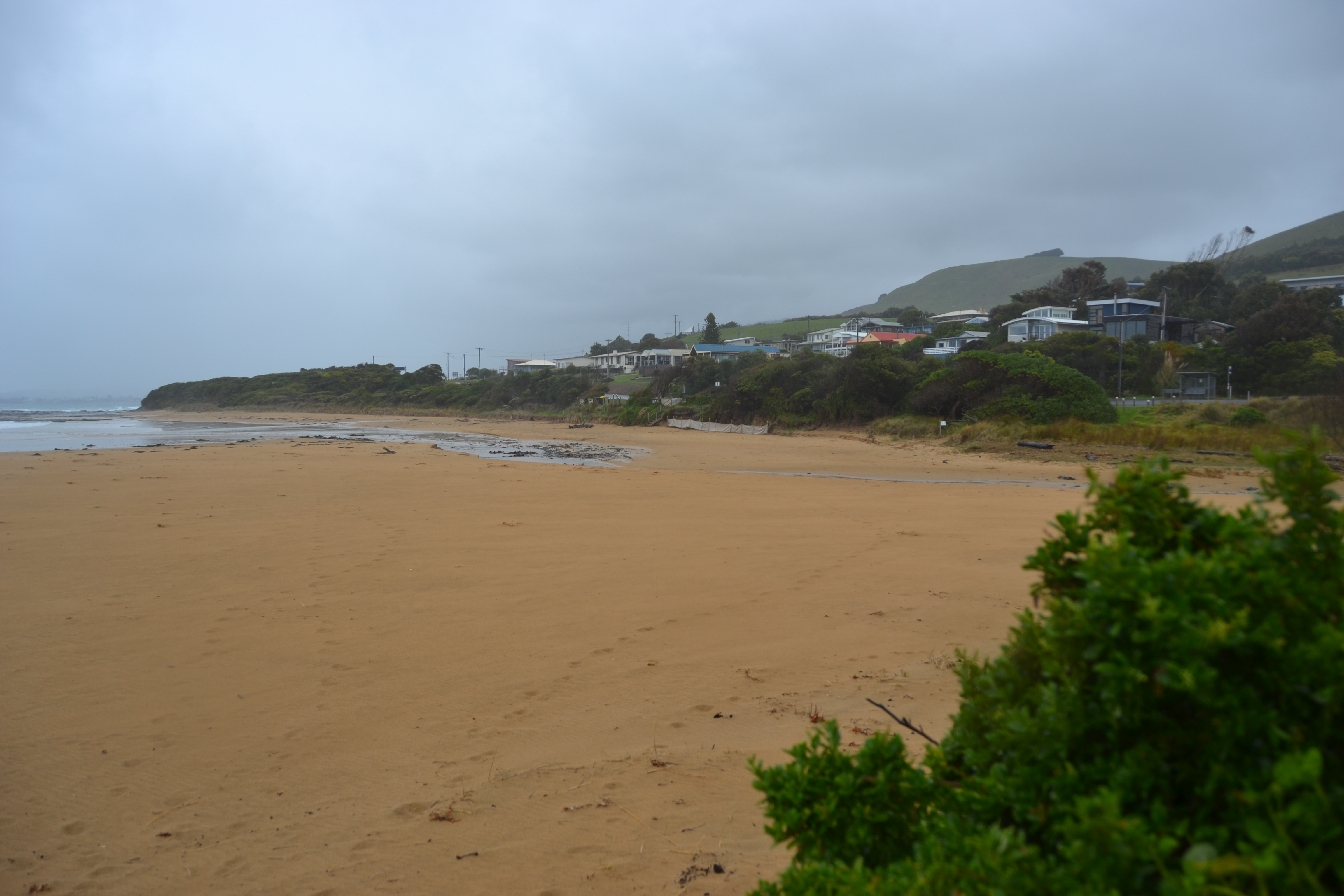
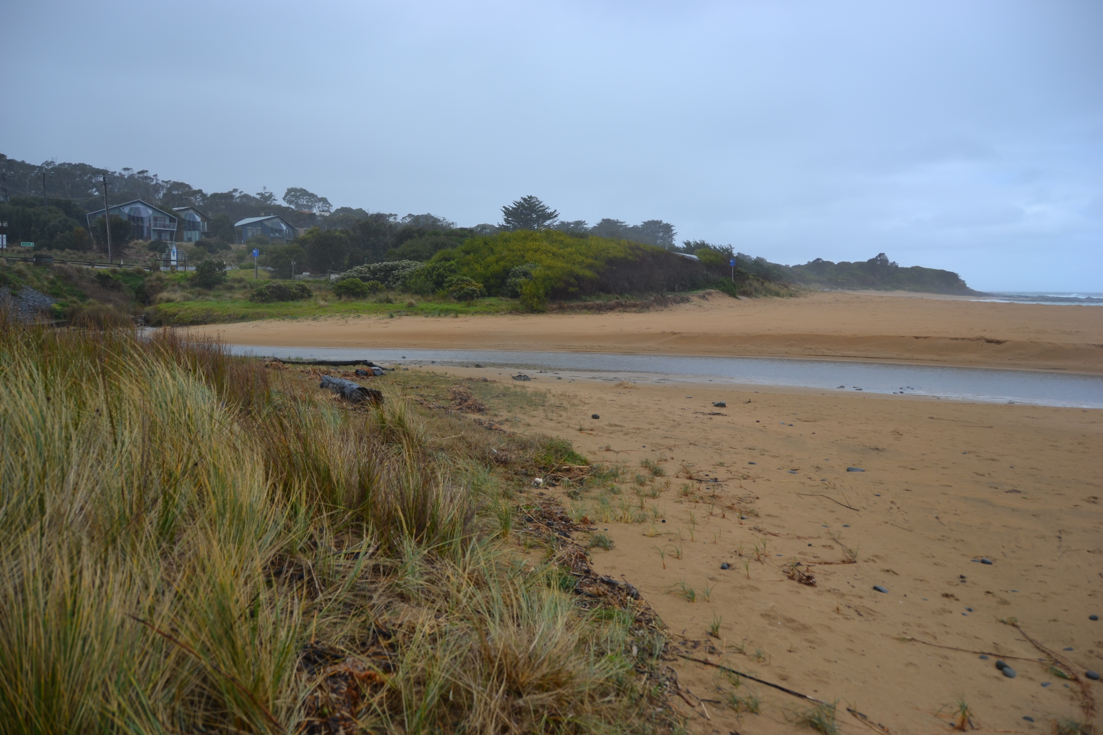
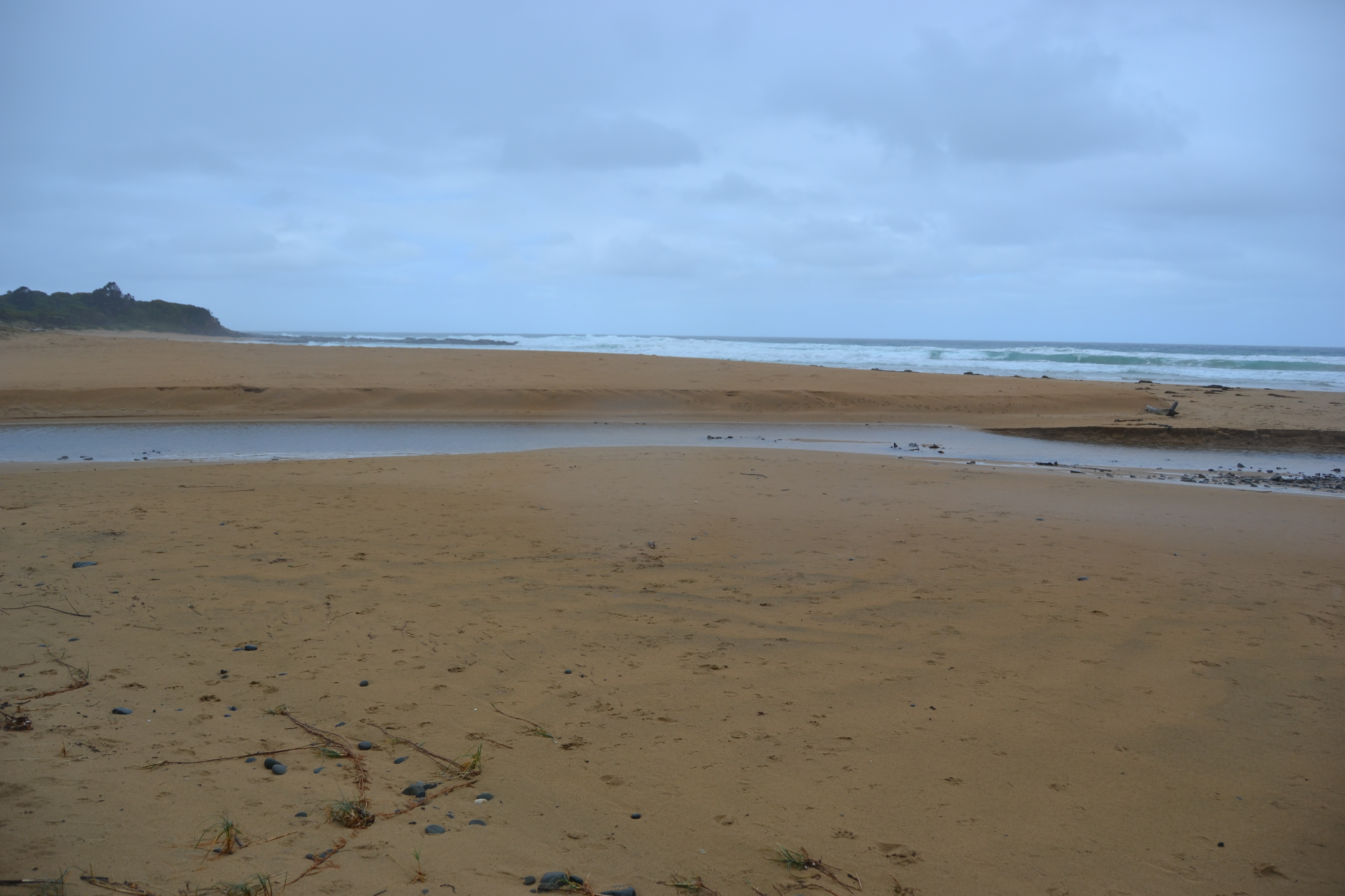
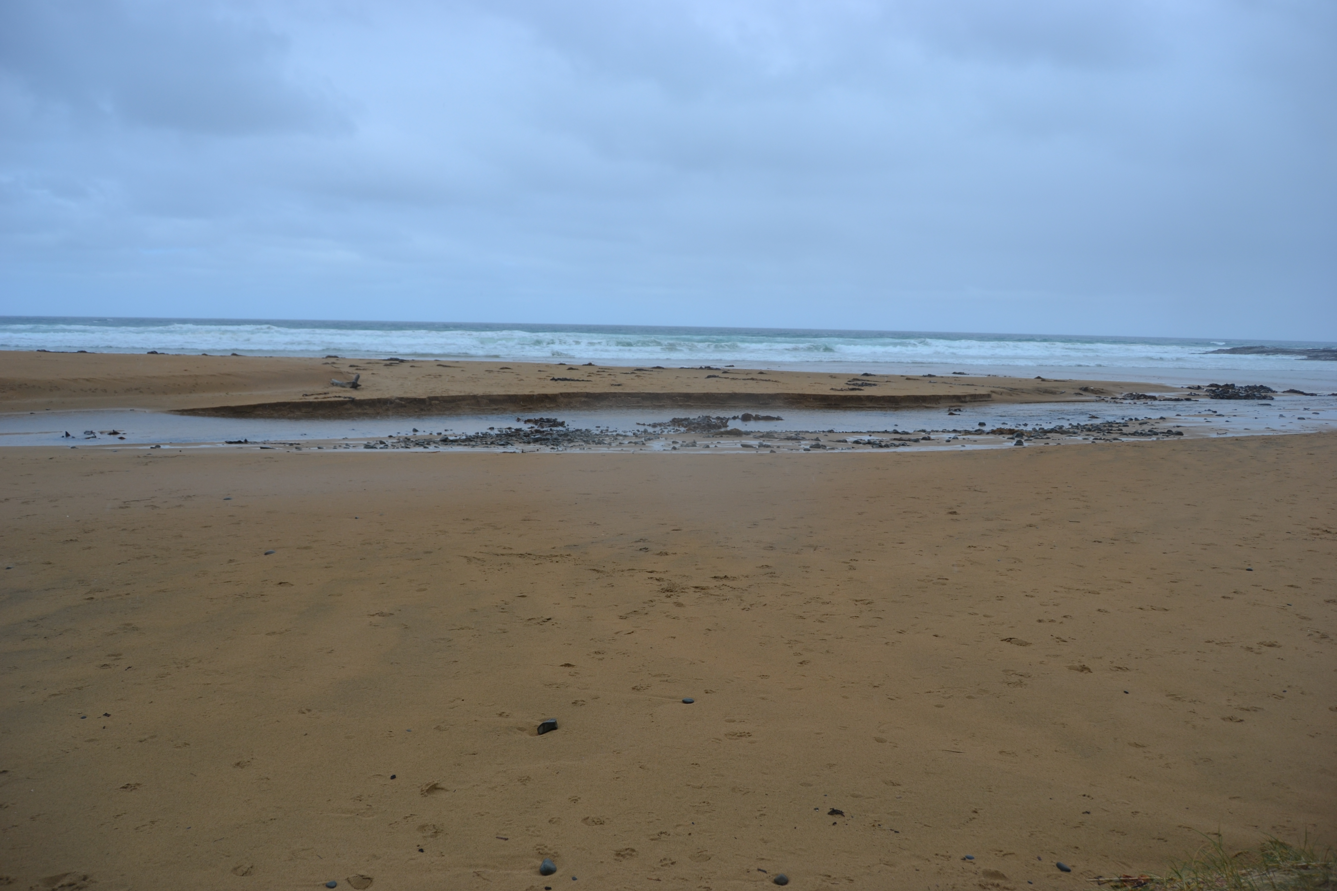
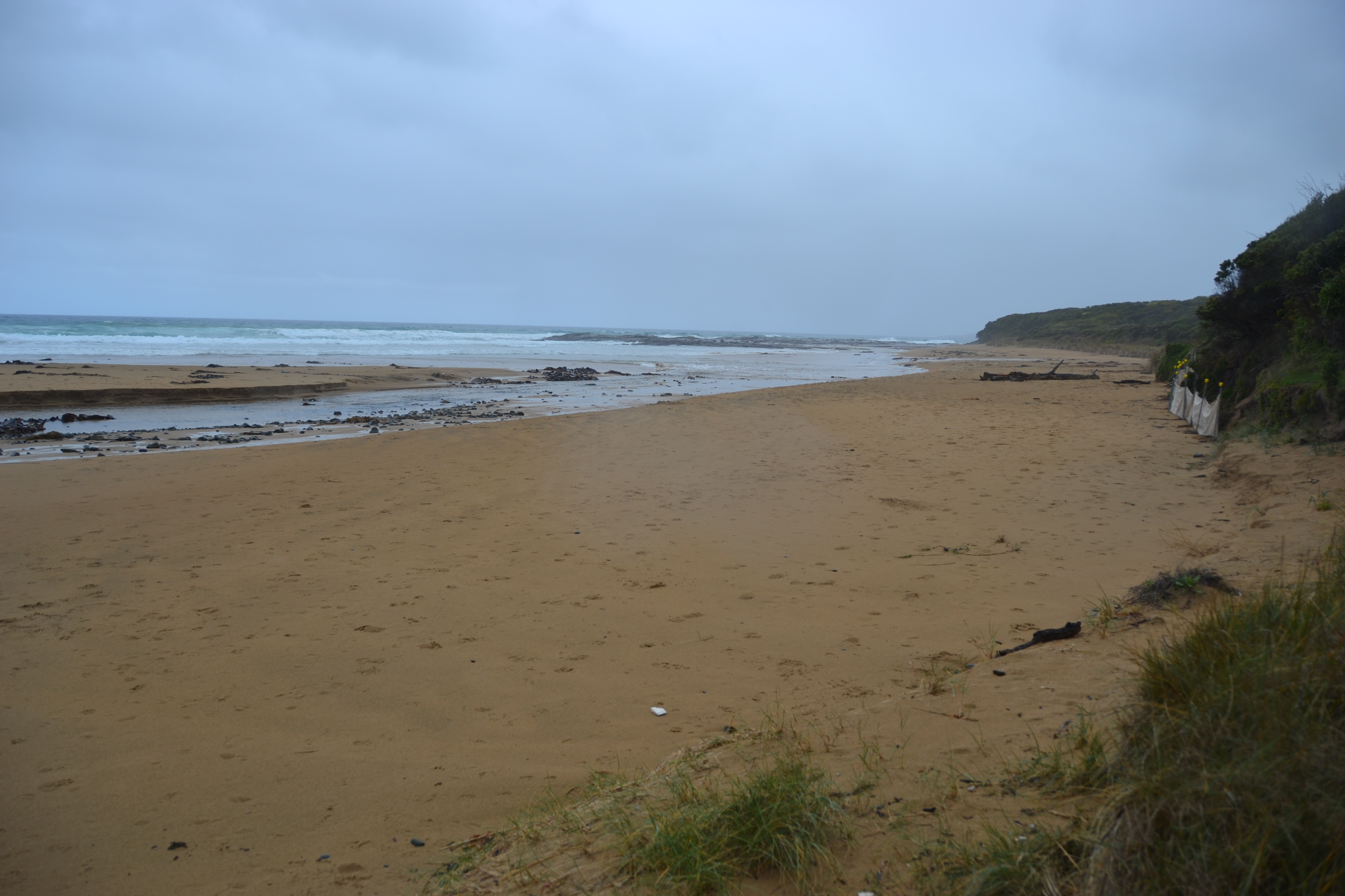
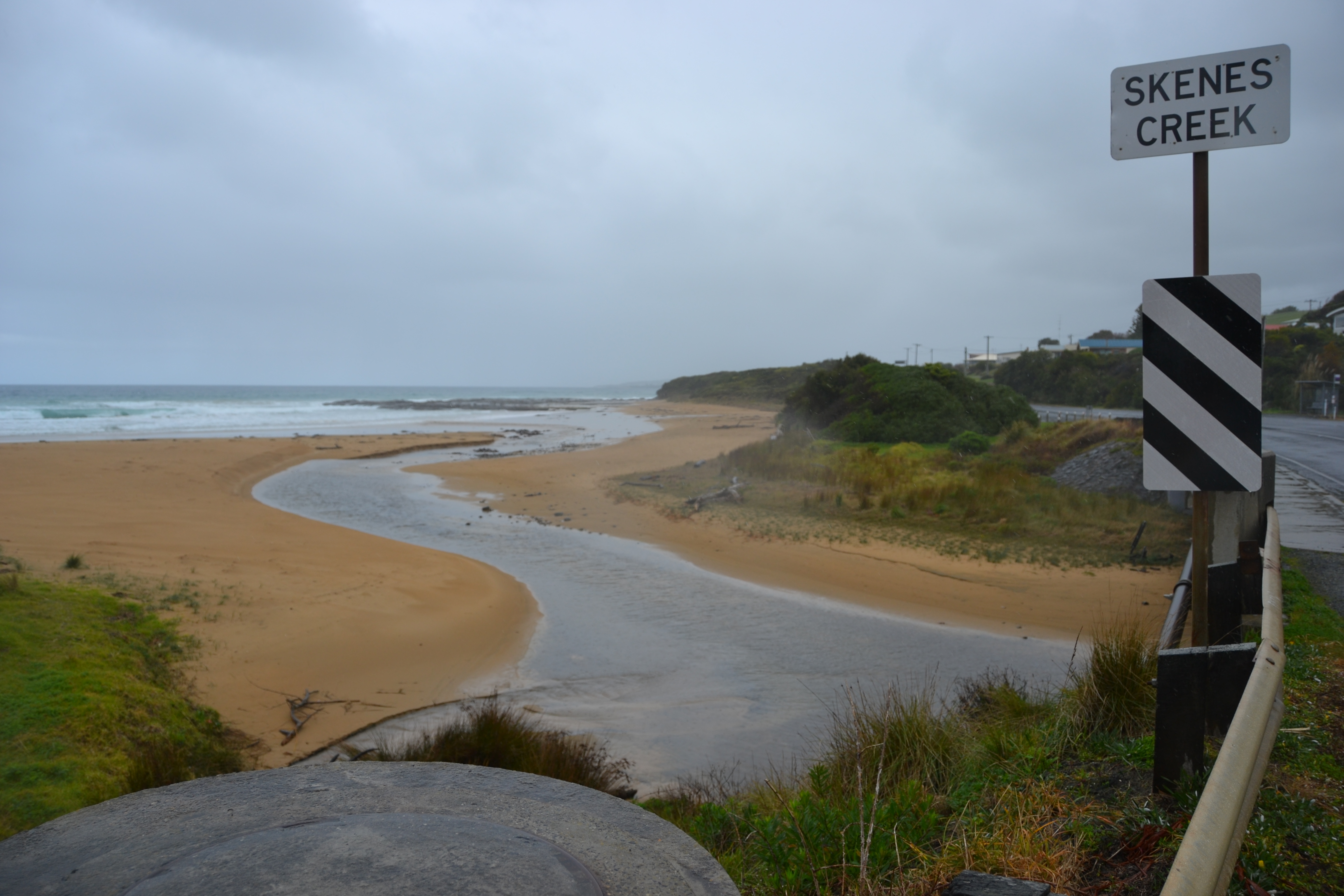
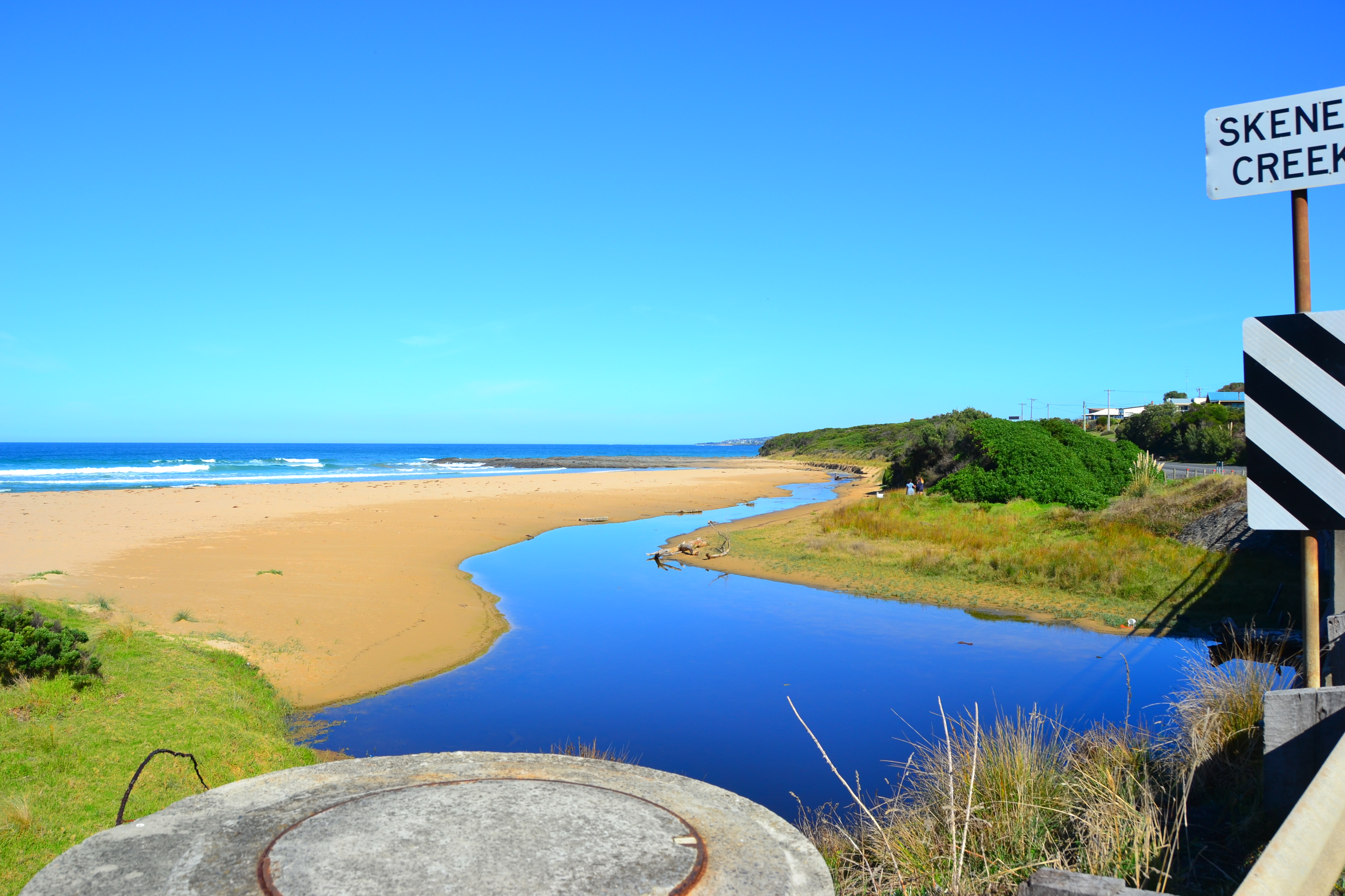
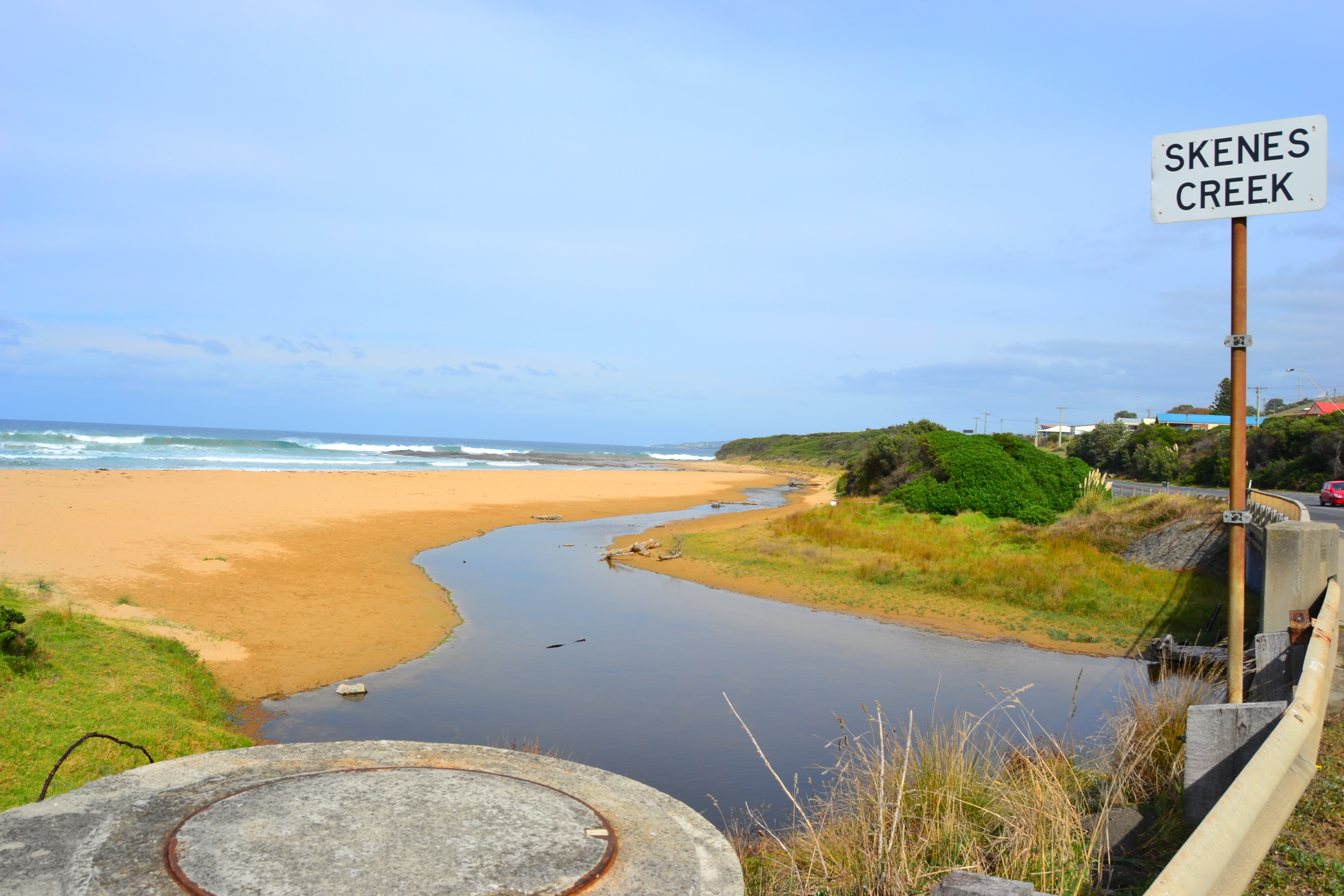
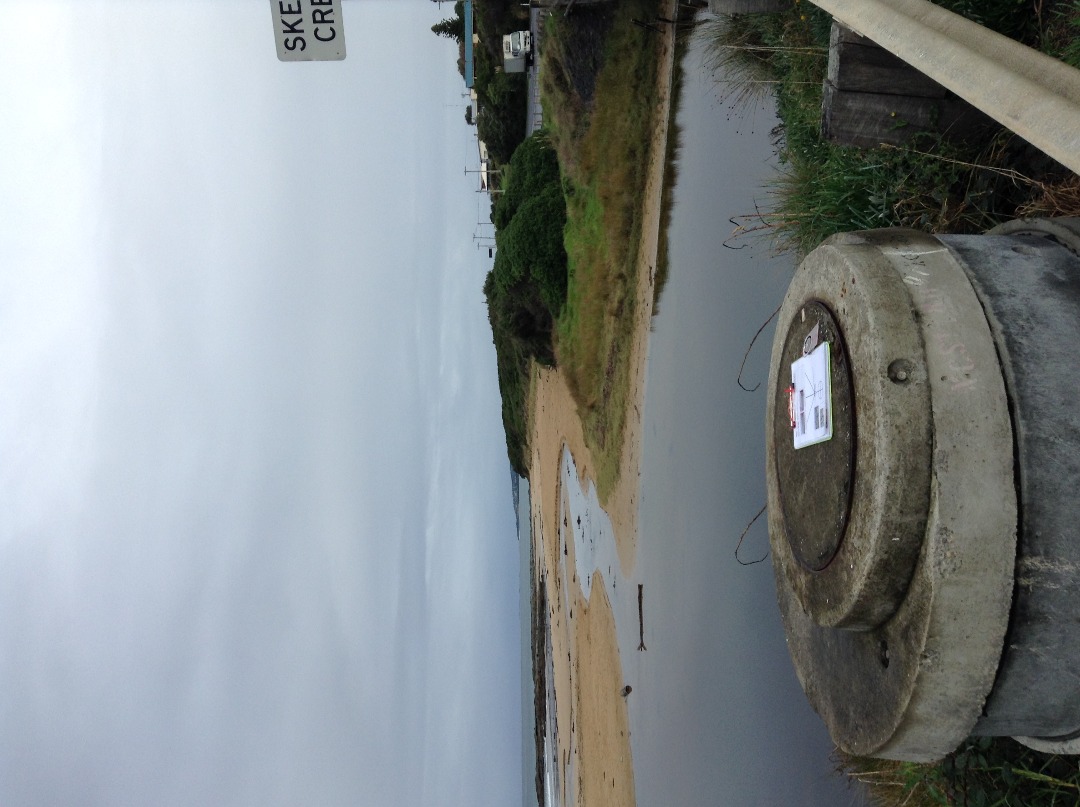
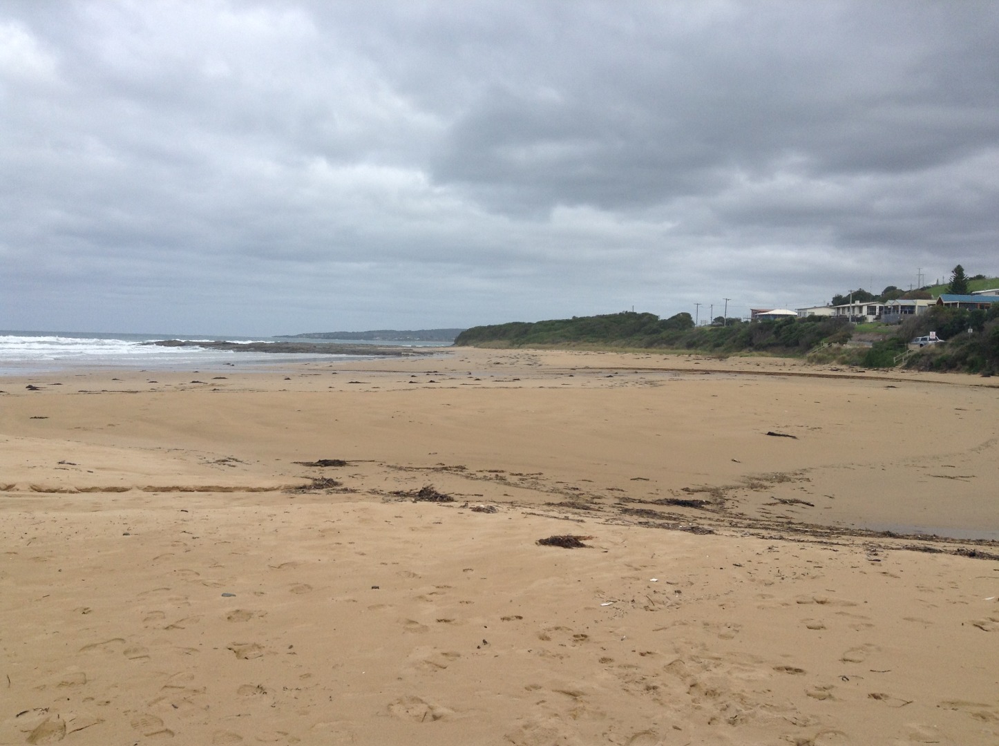
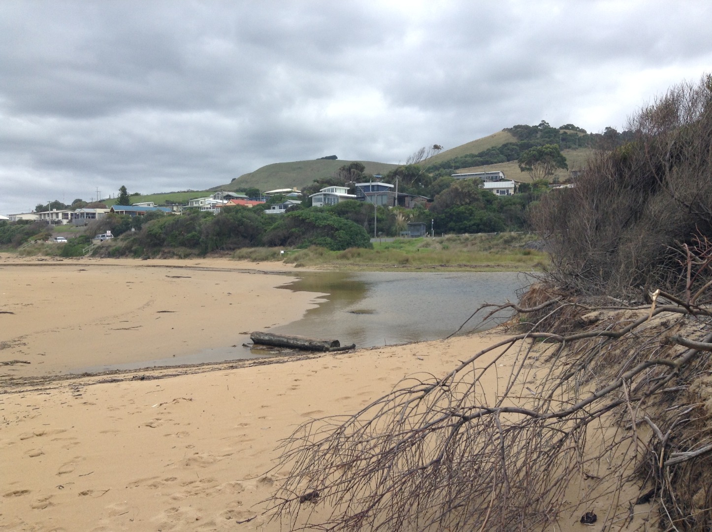
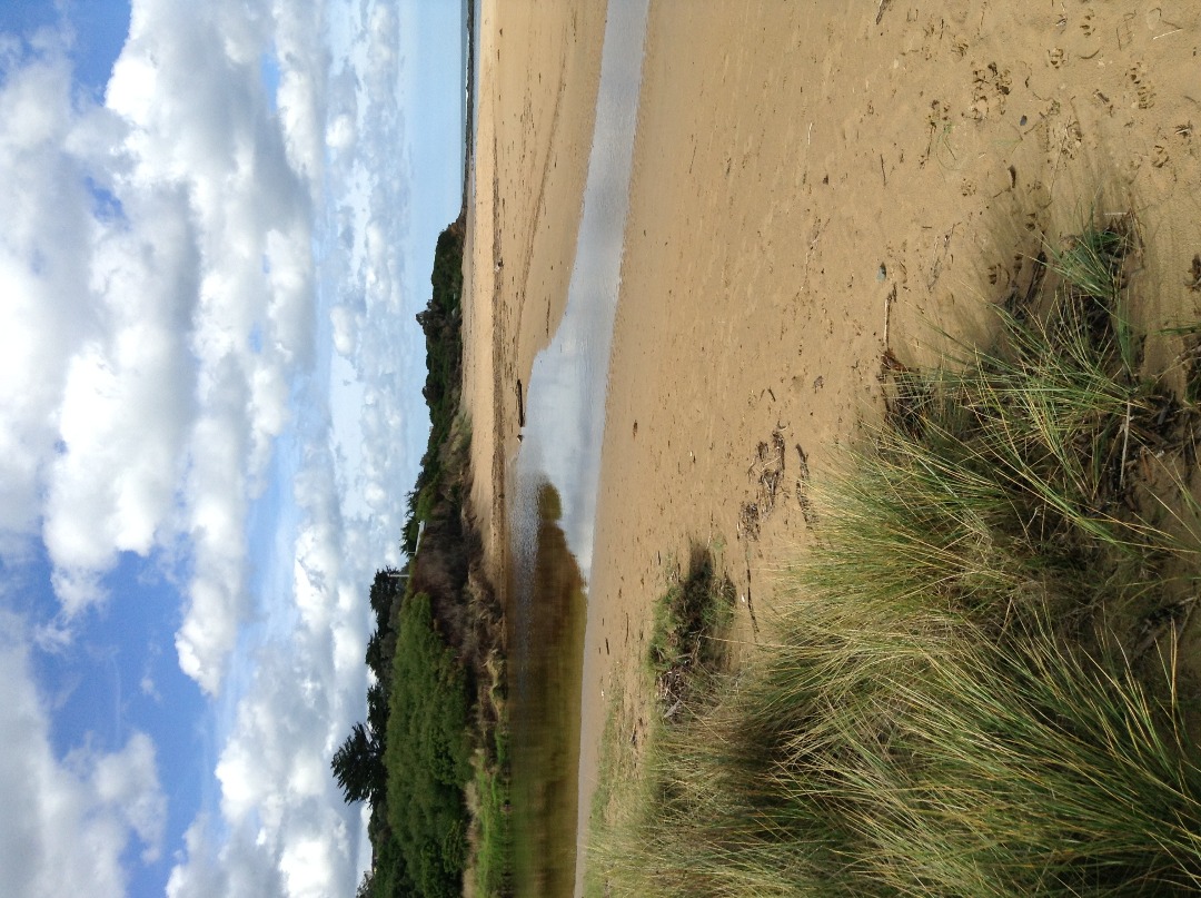
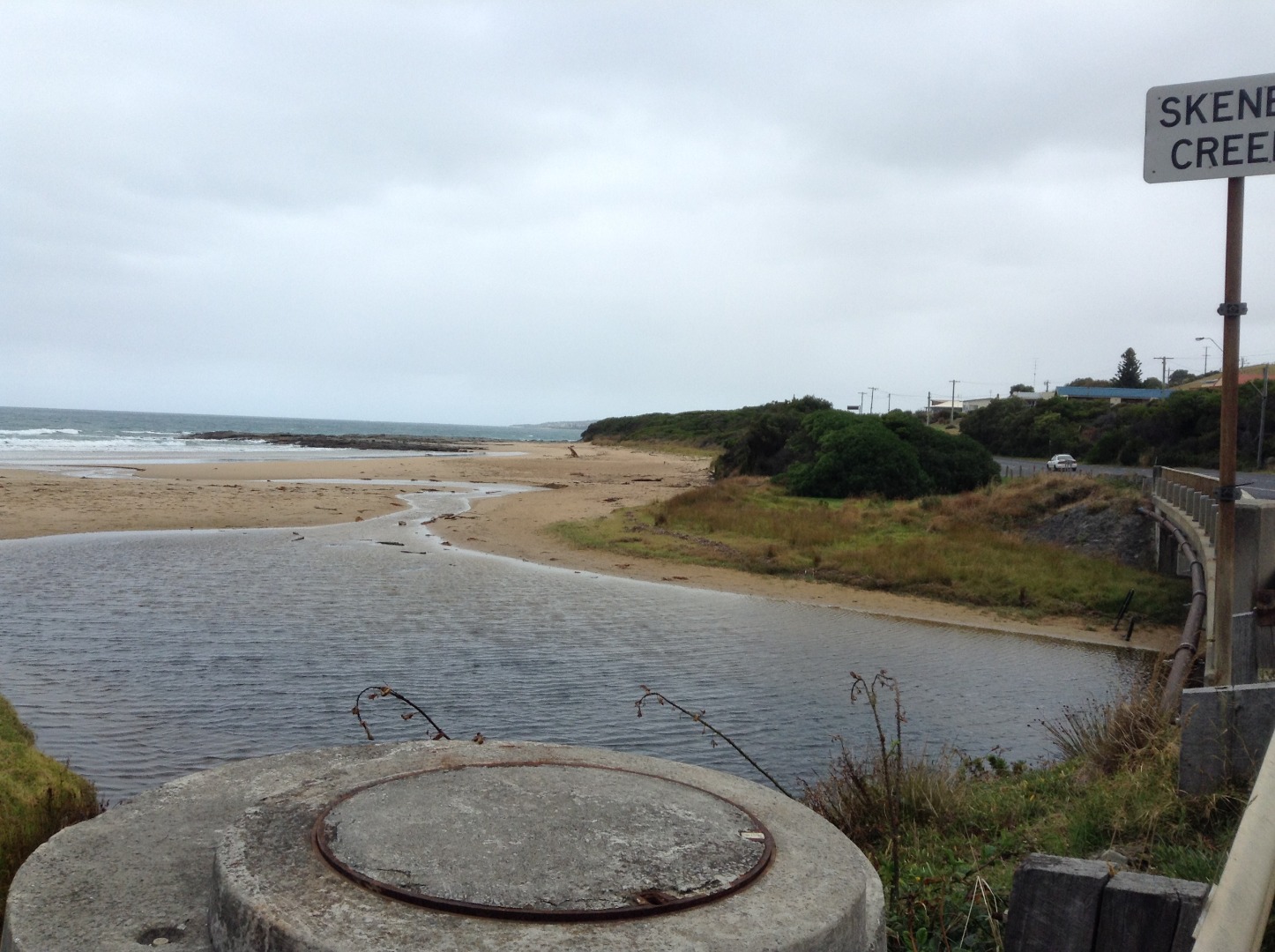
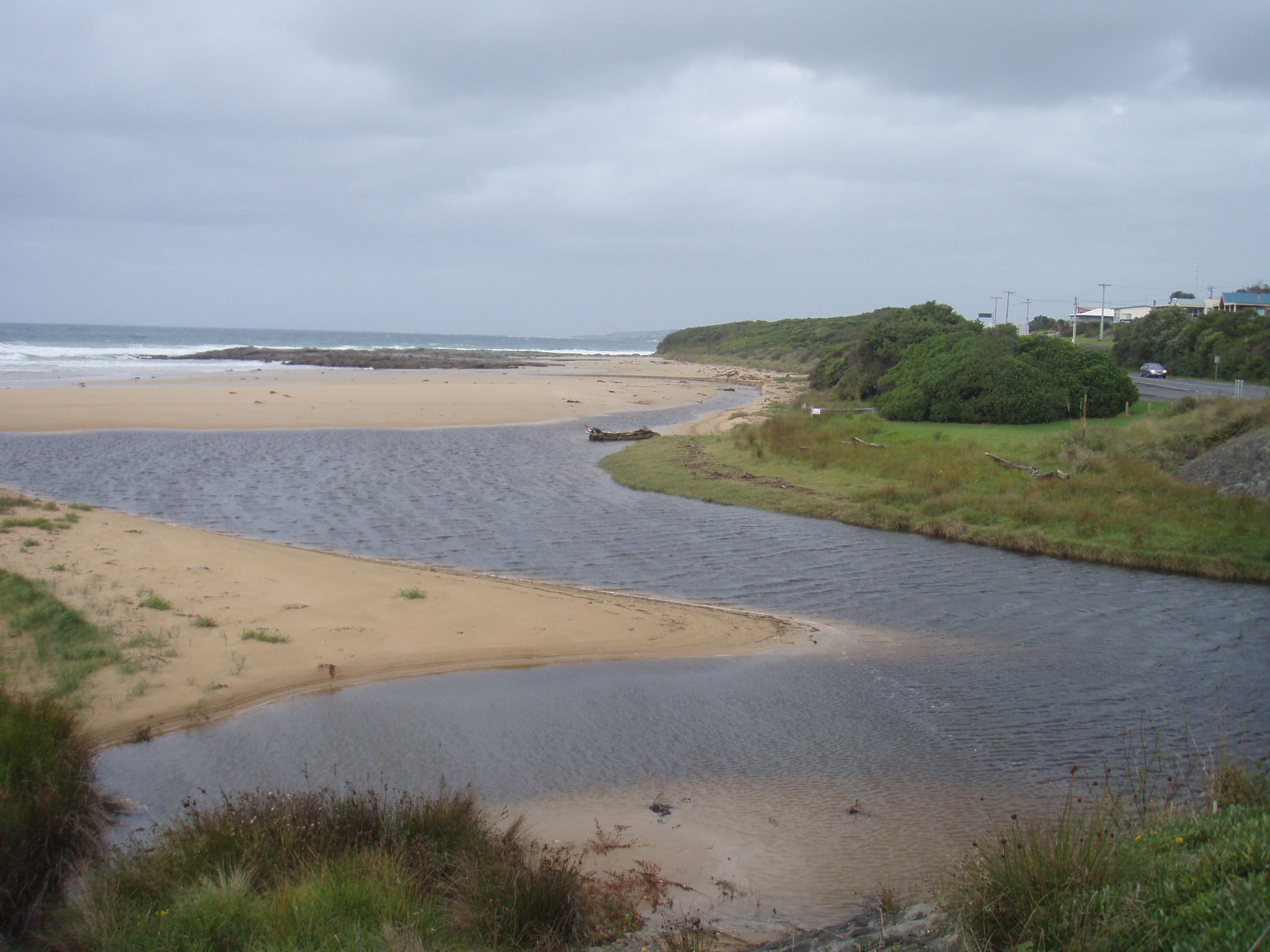
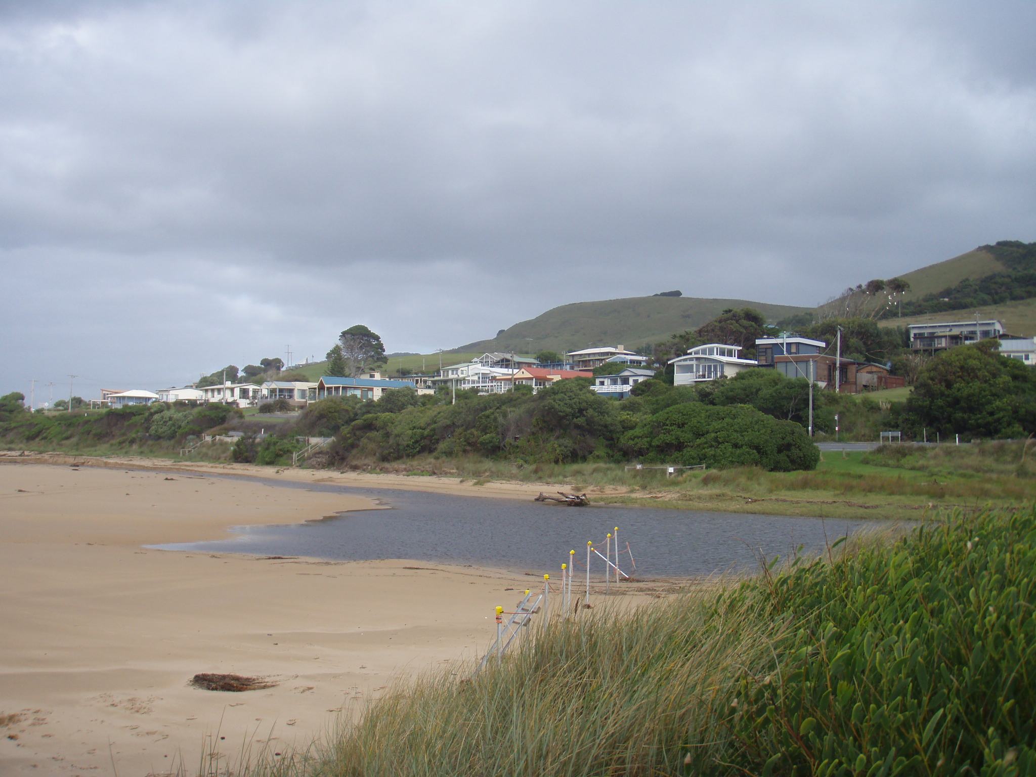
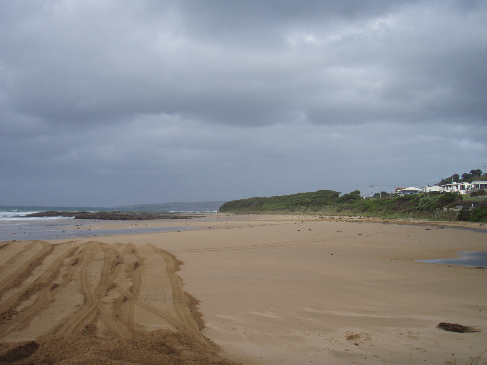
SKMC Skenes Creek Observation Site
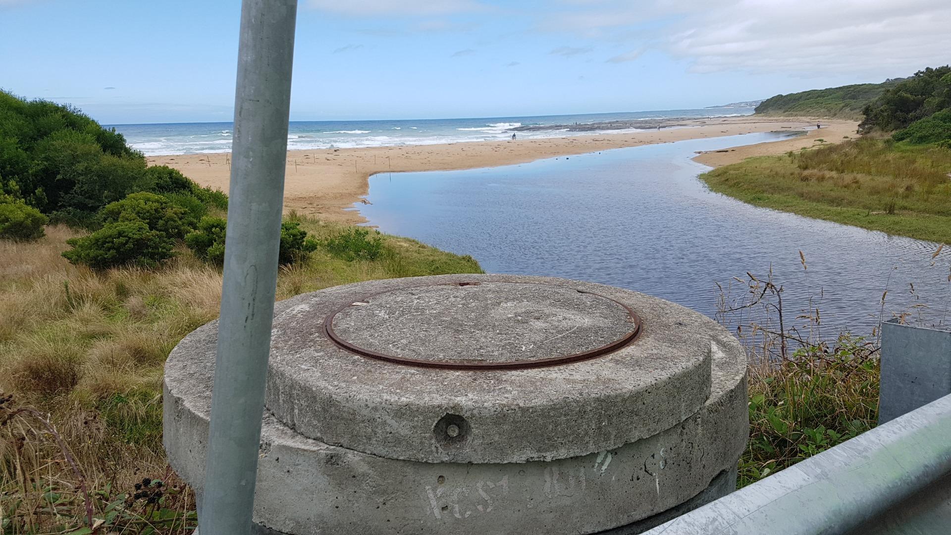
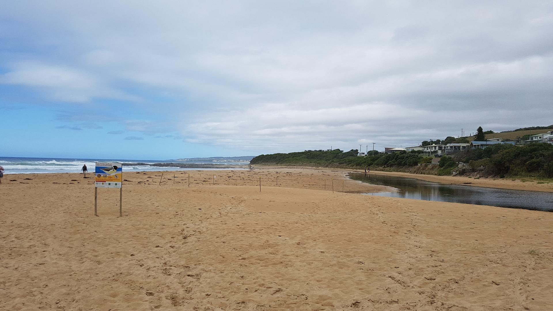
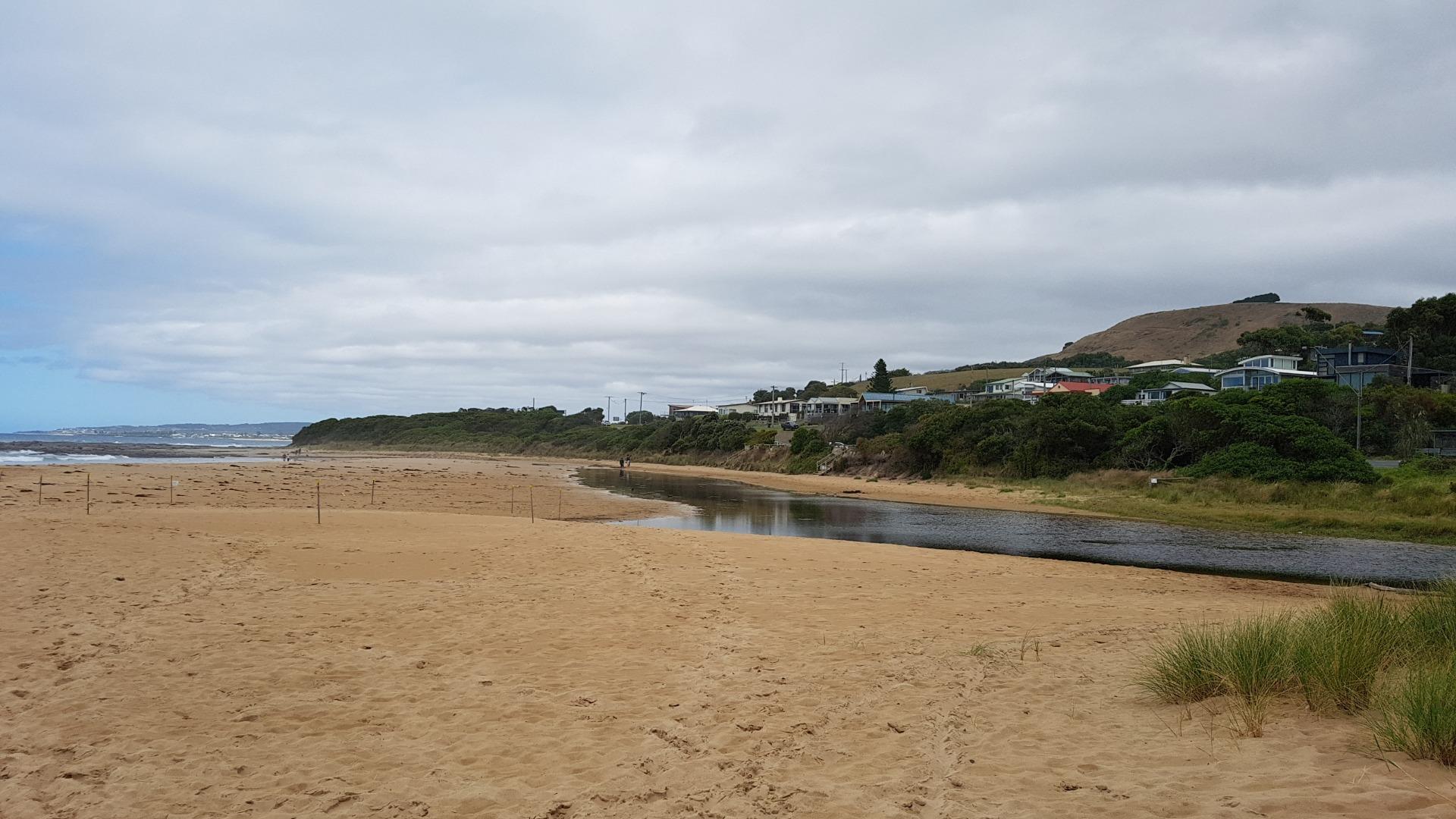
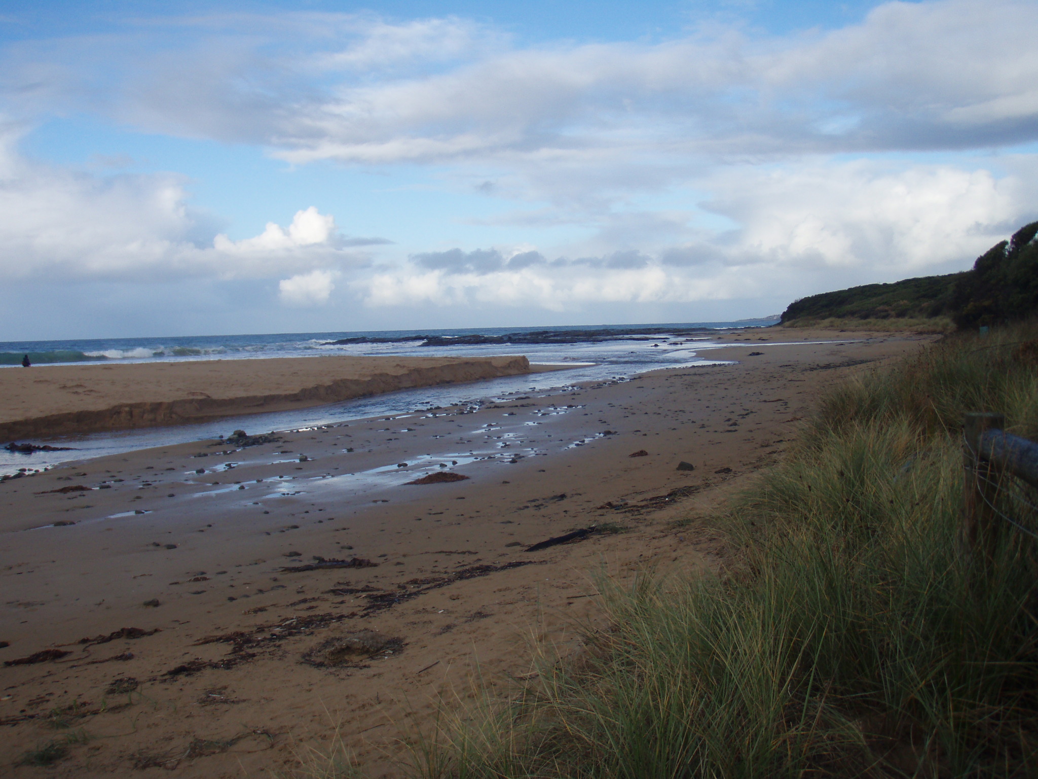
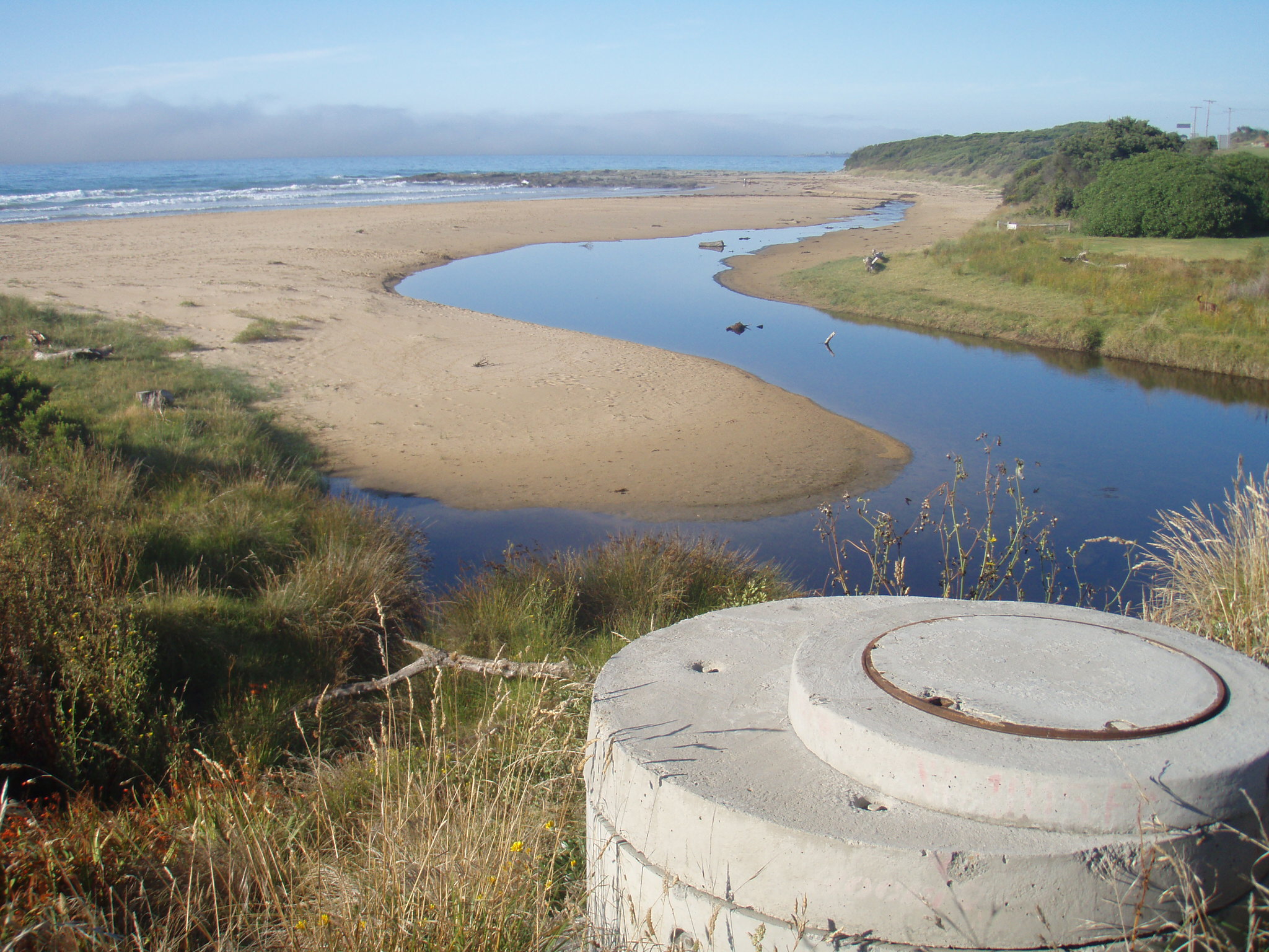
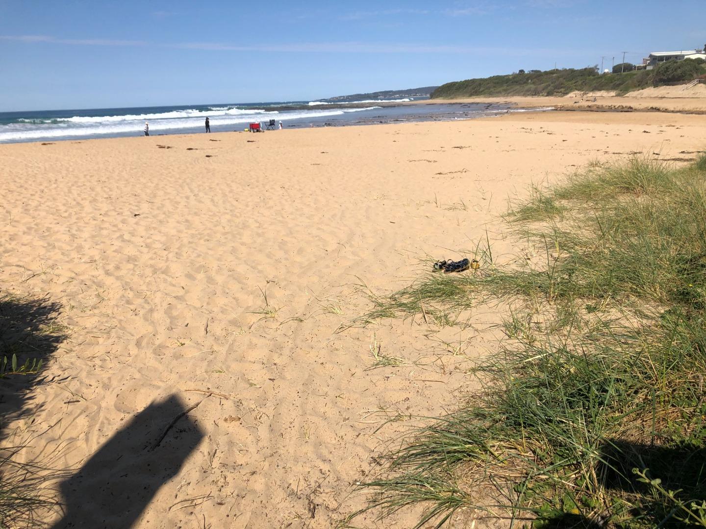
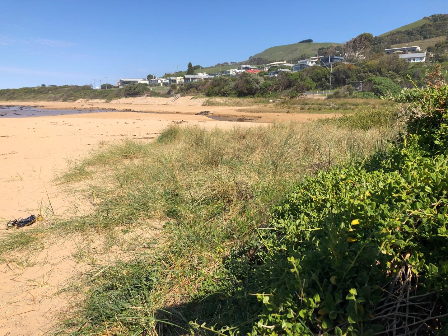
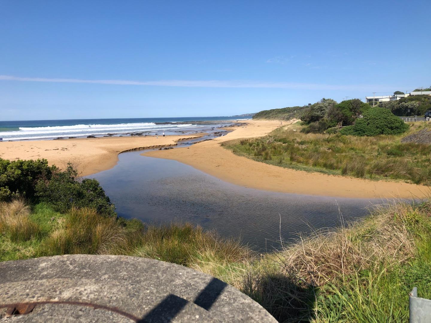
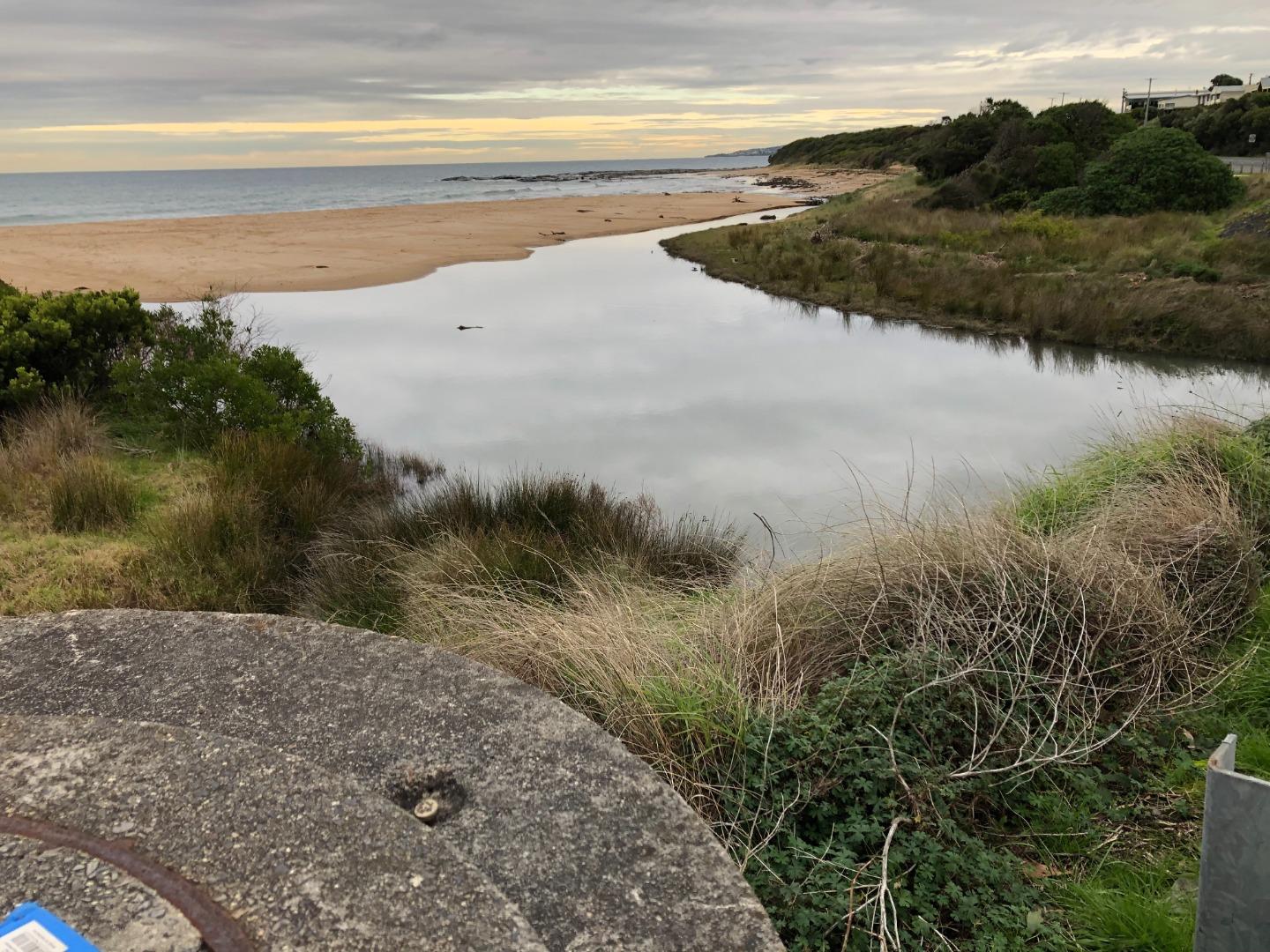
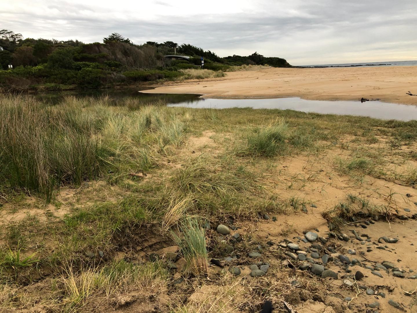
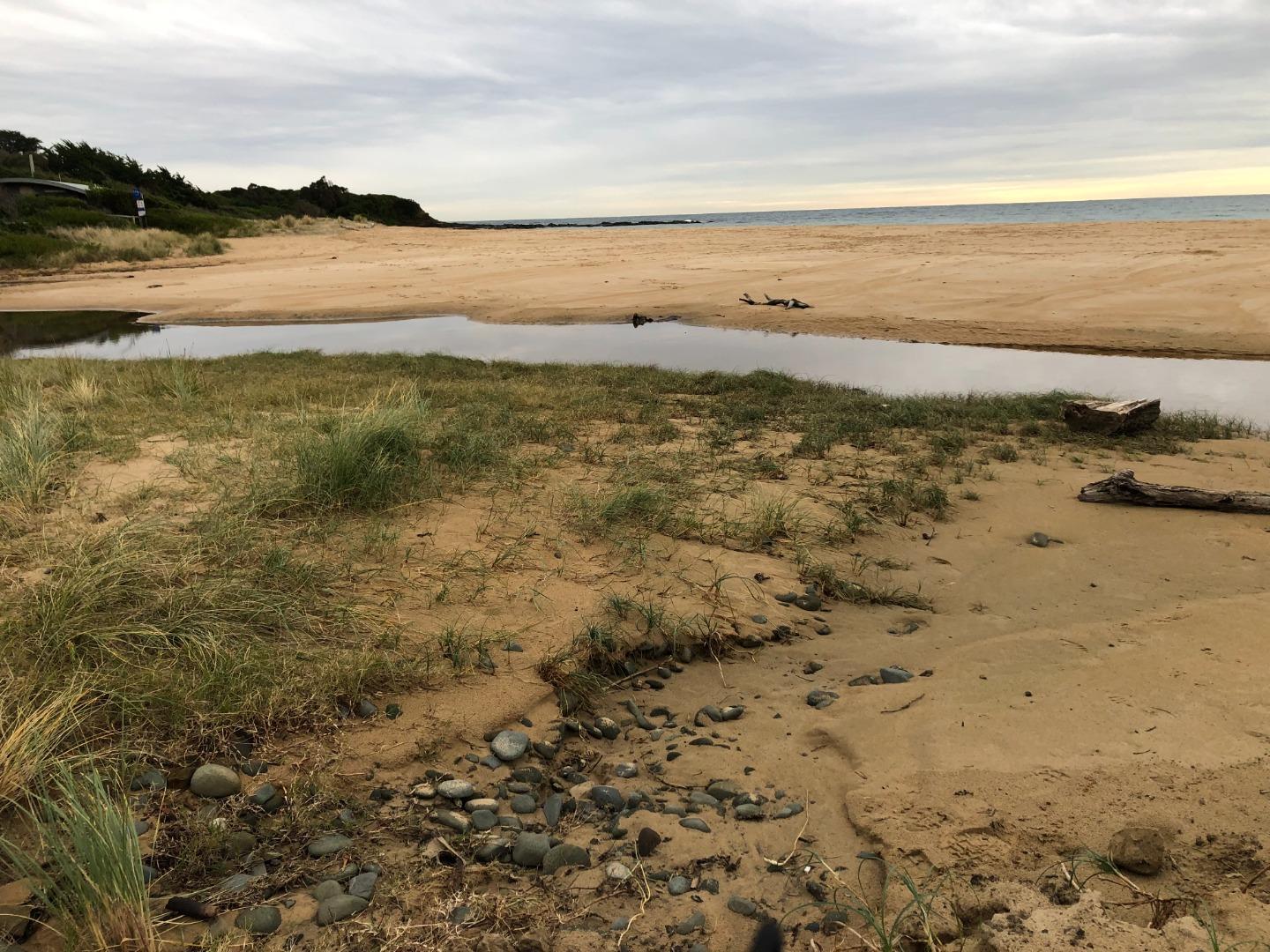
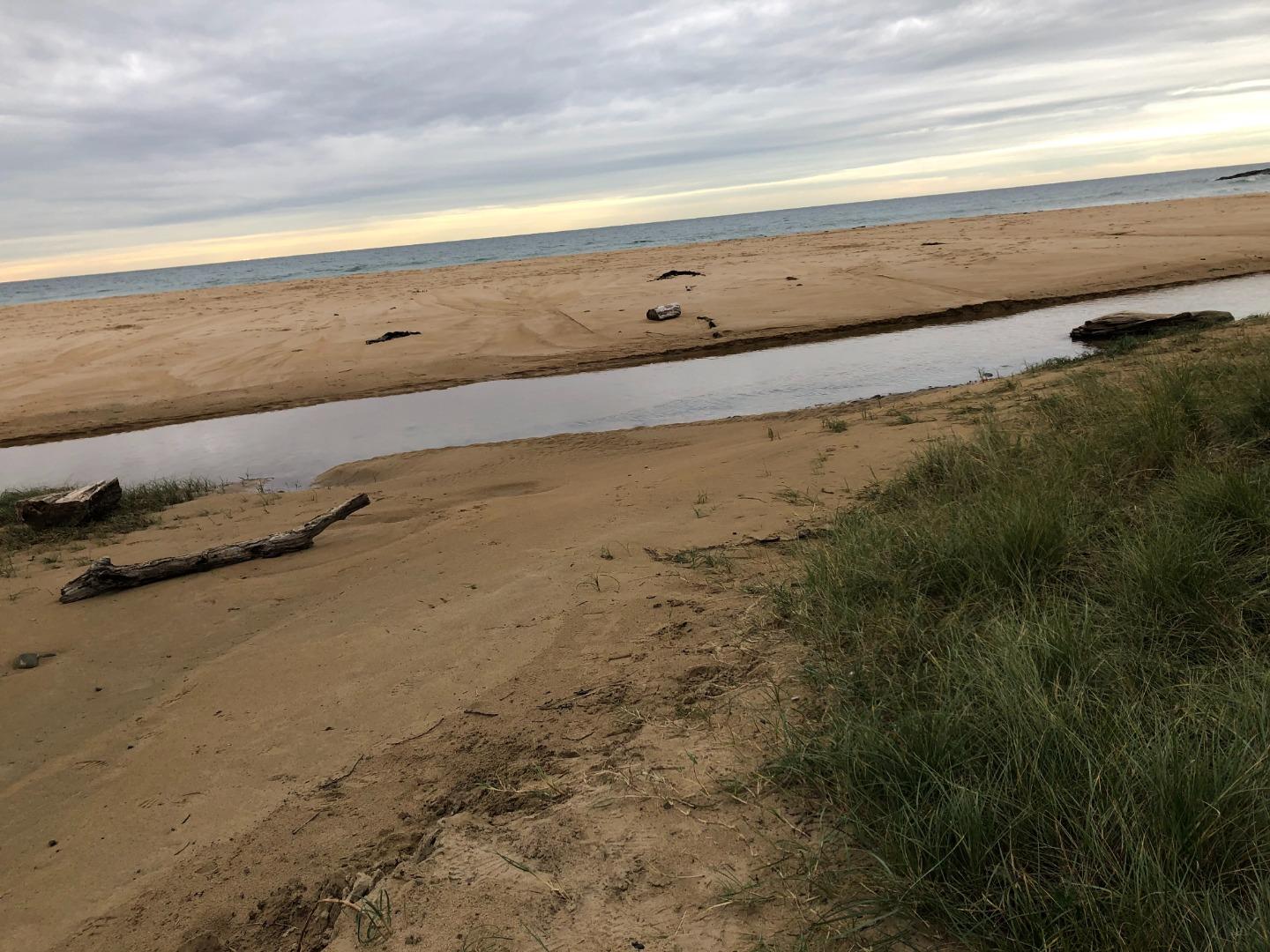
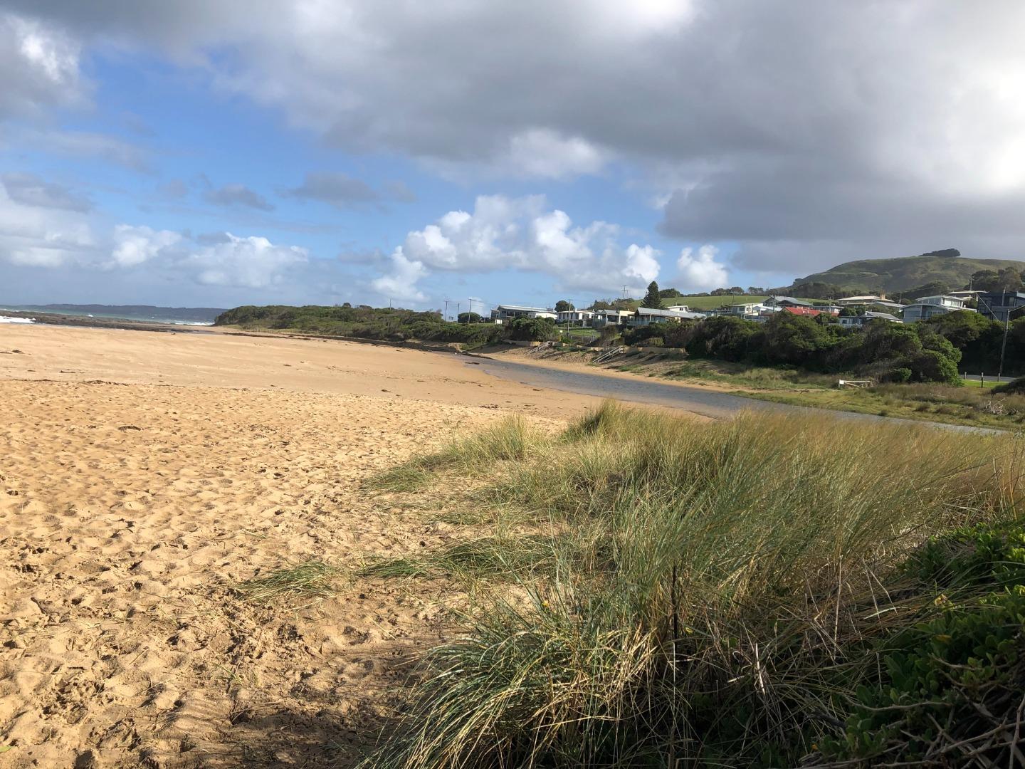
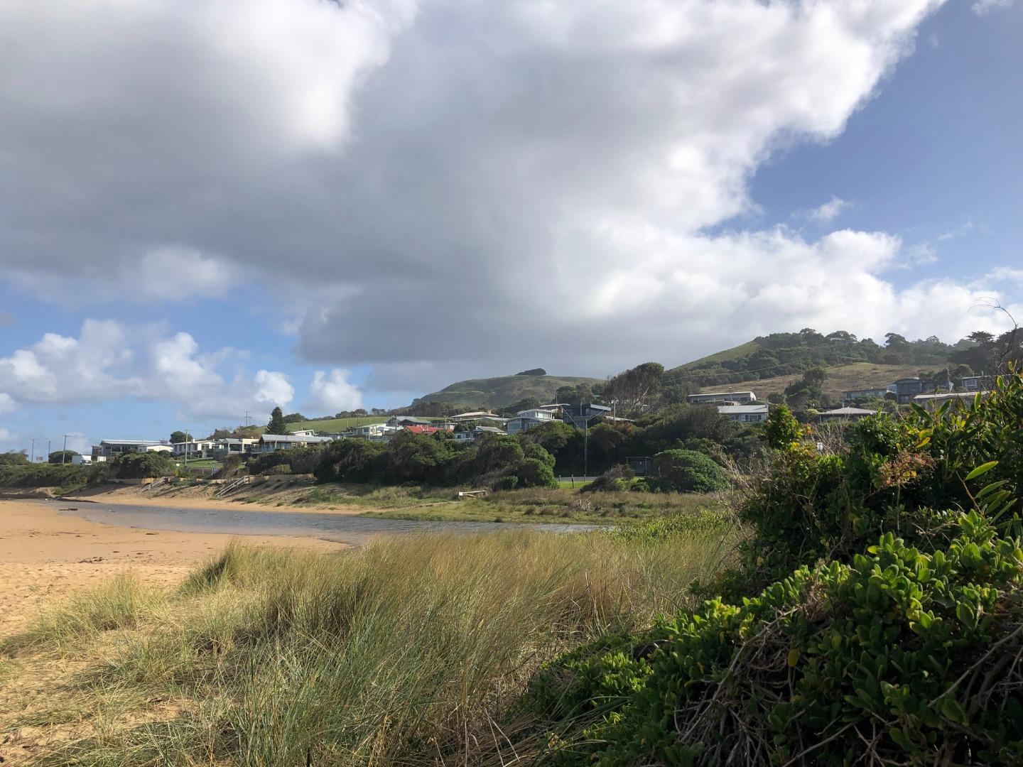
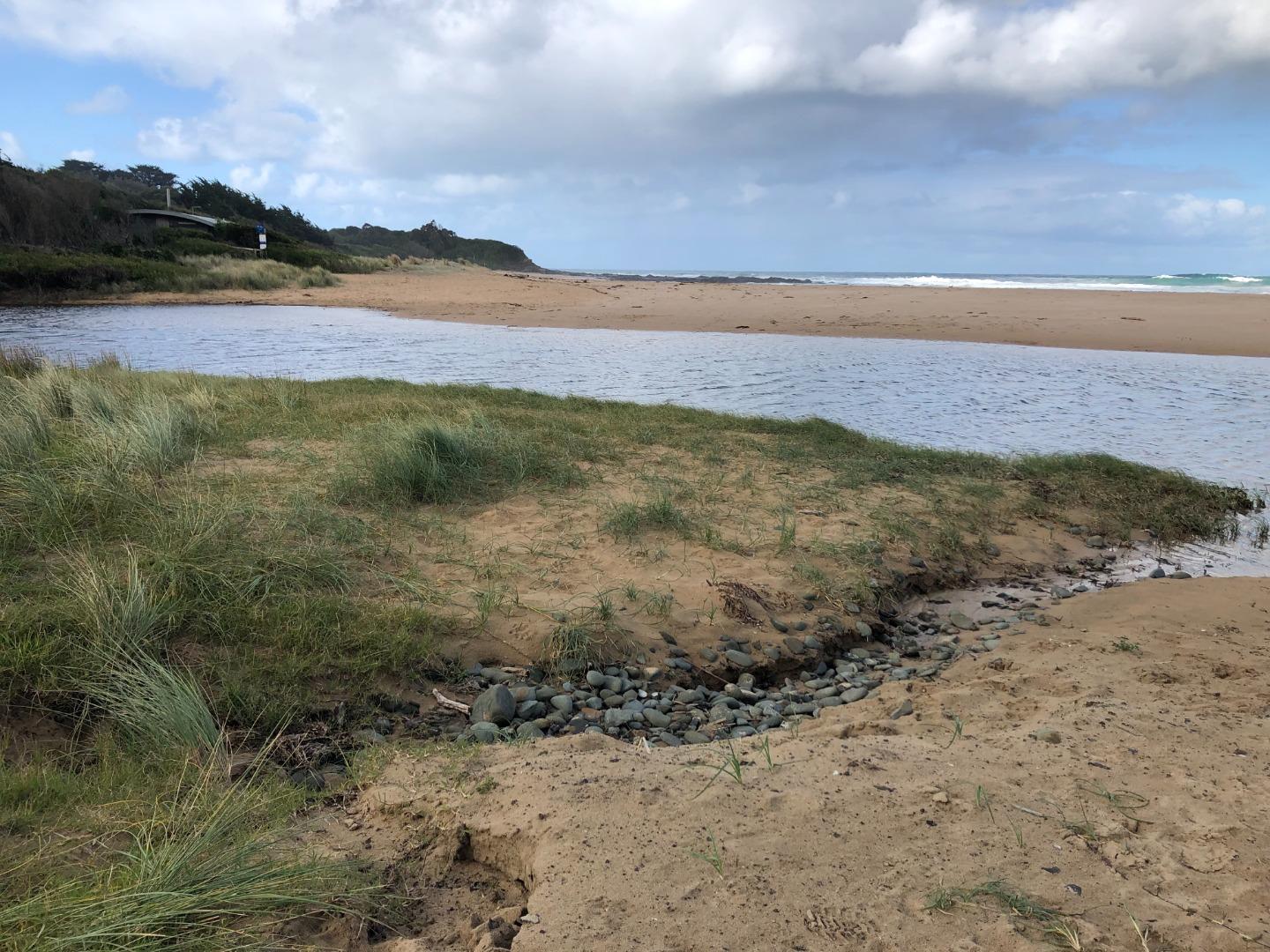
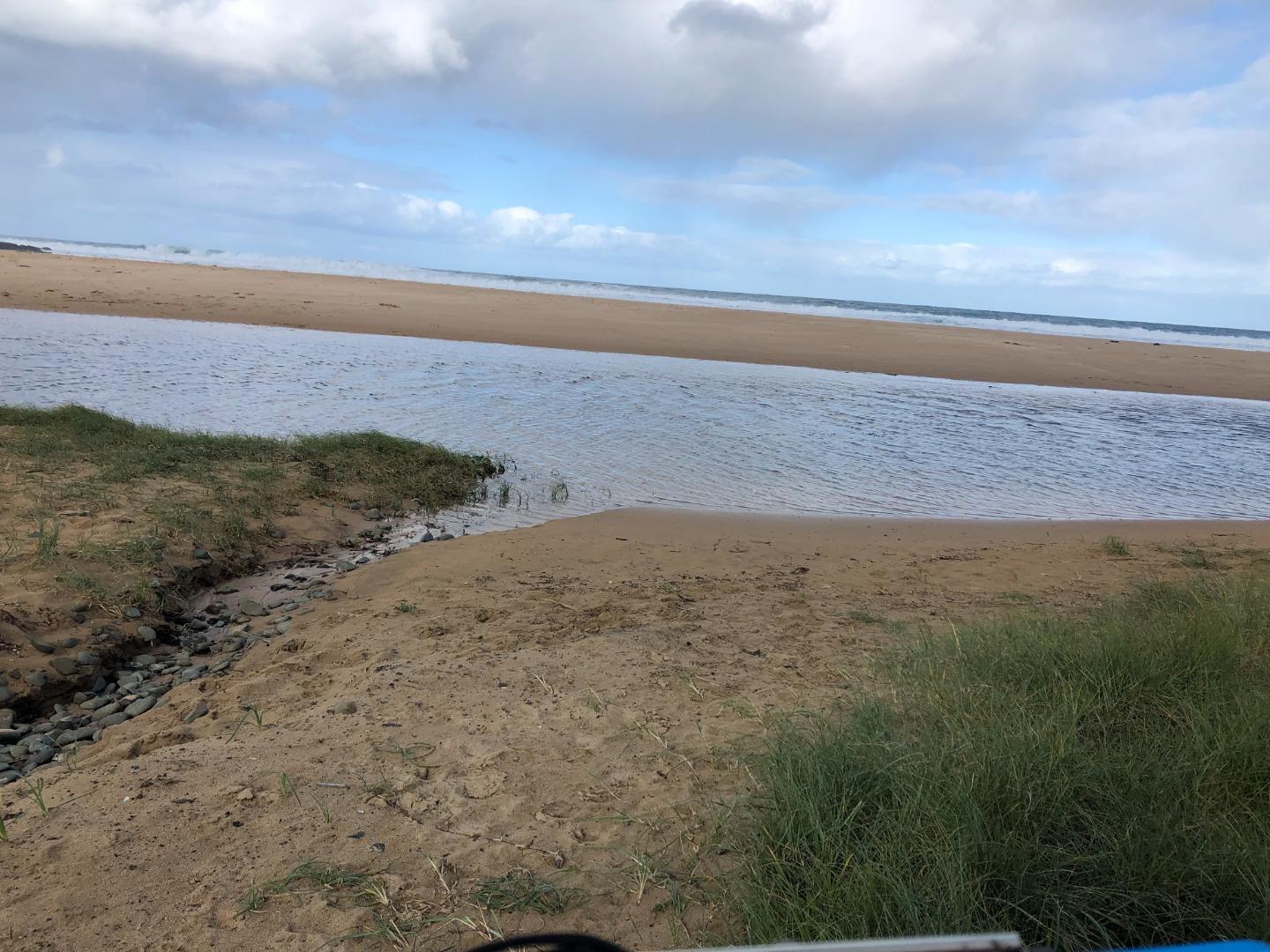
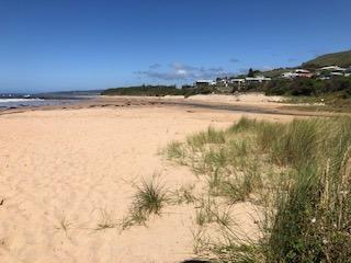
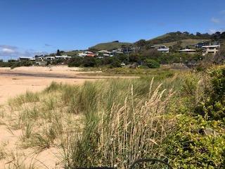
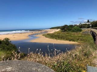
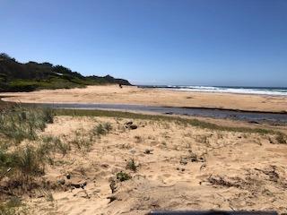
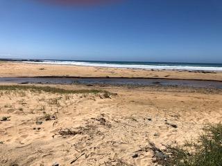
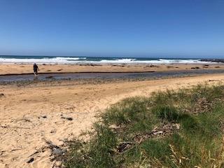
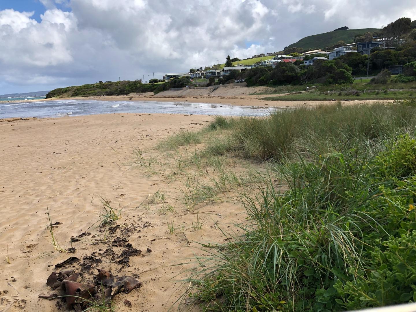
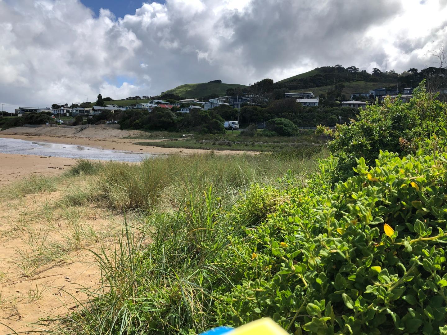
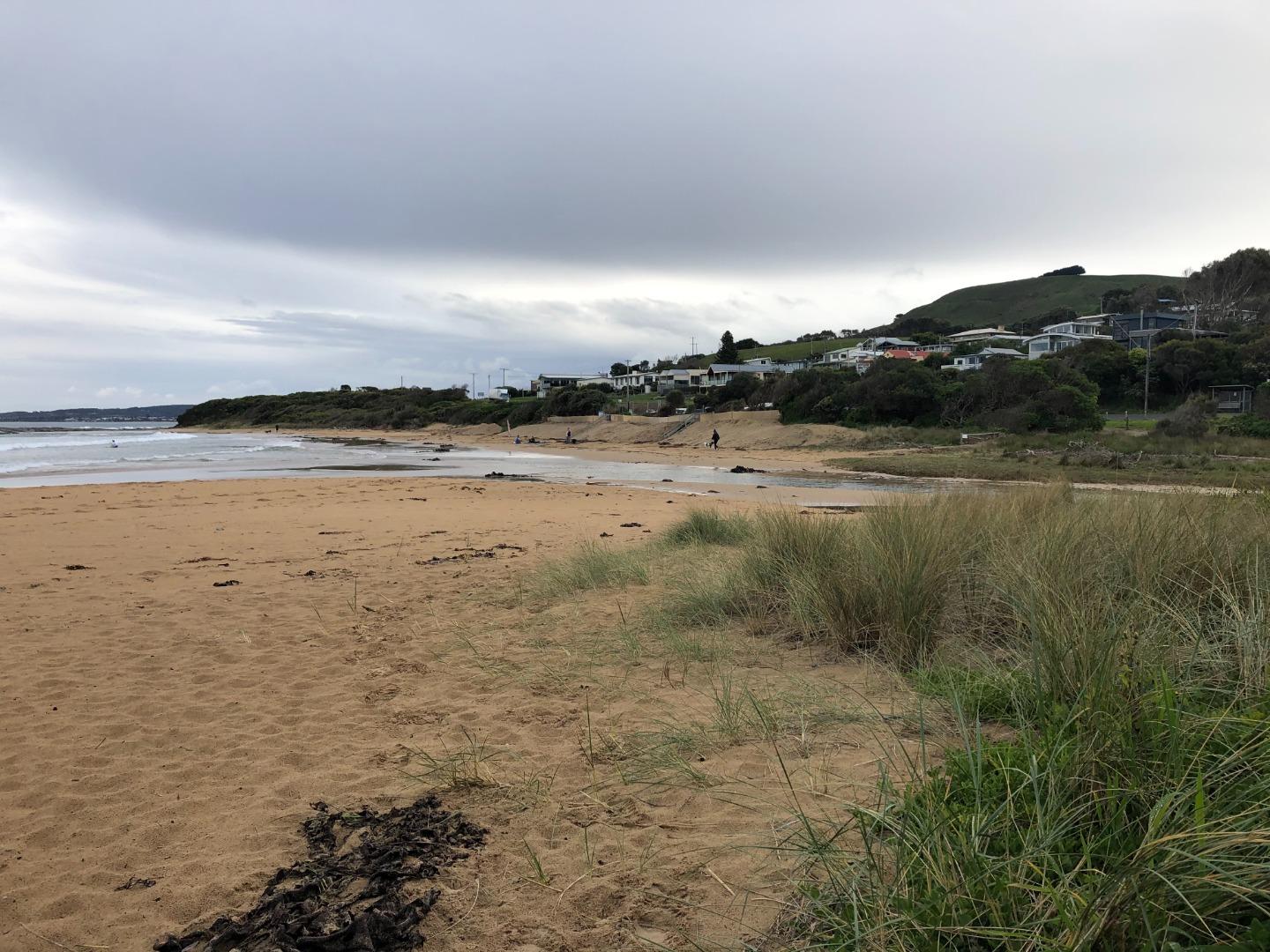
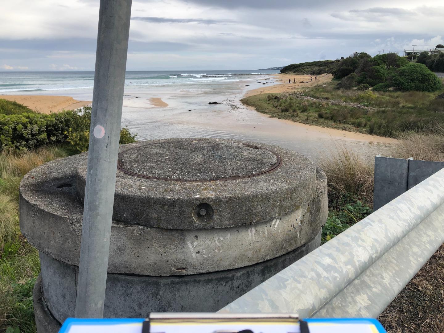
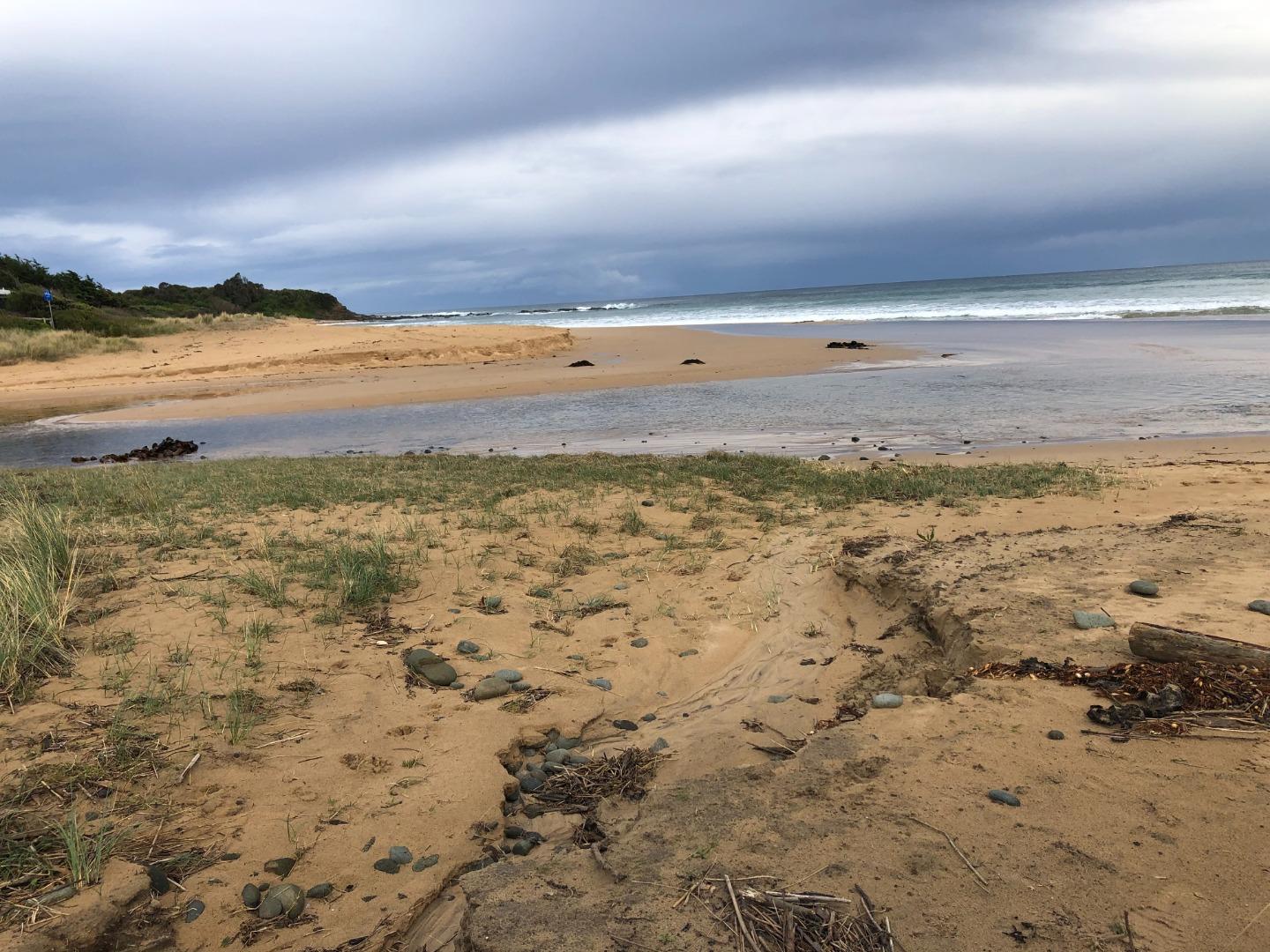
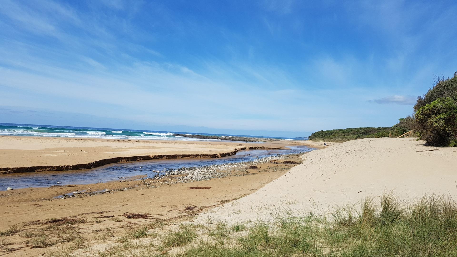
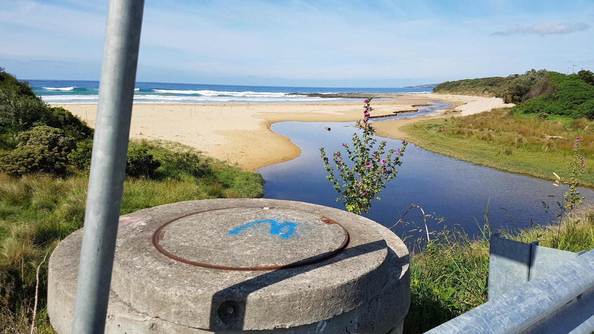
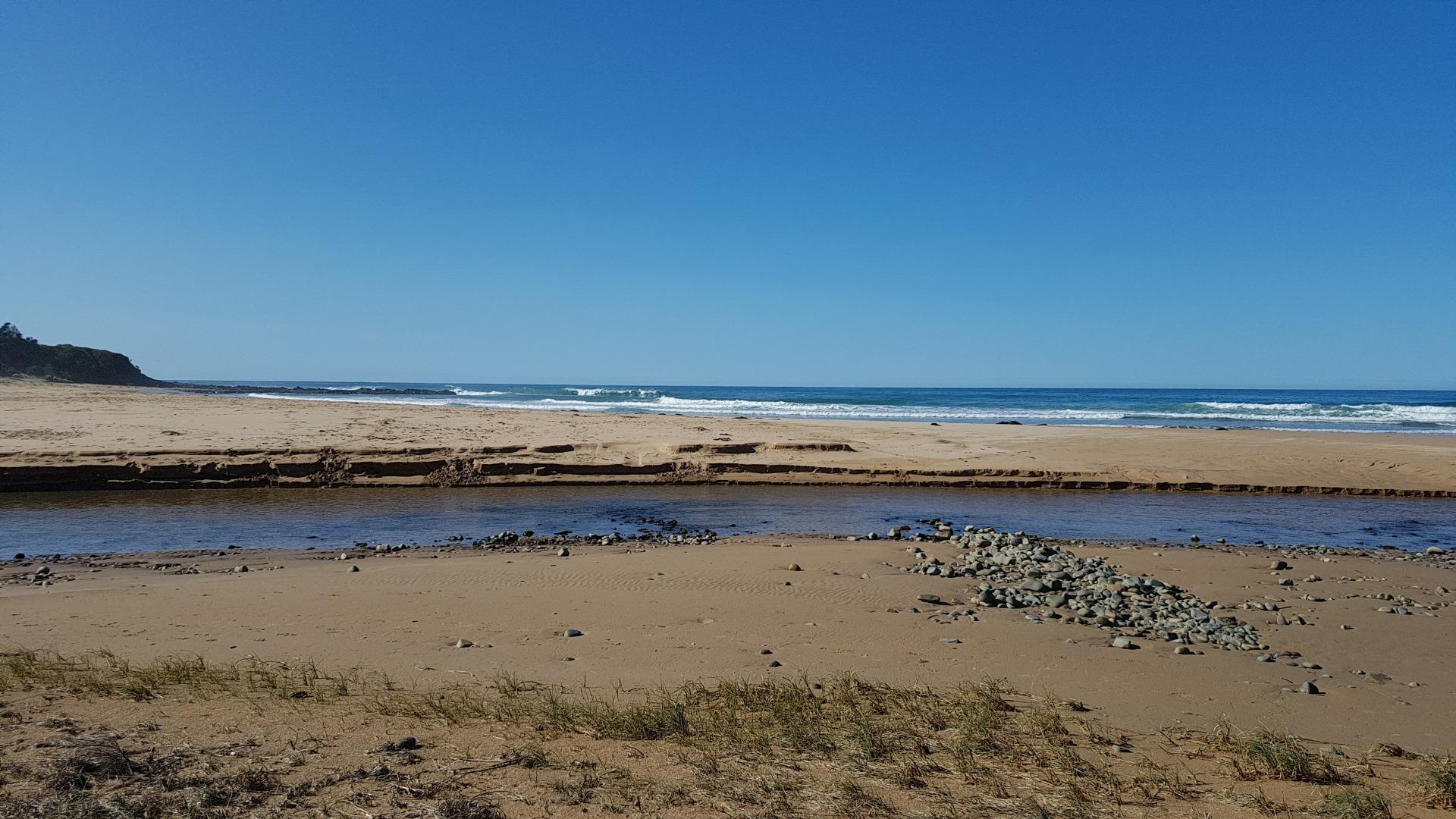
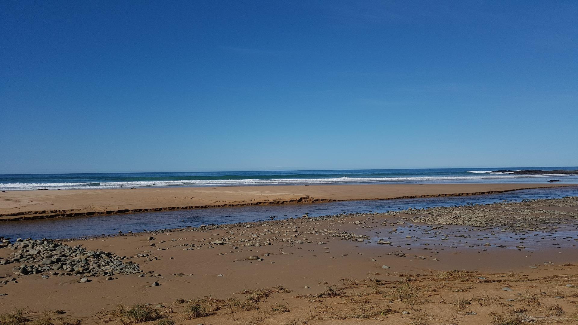
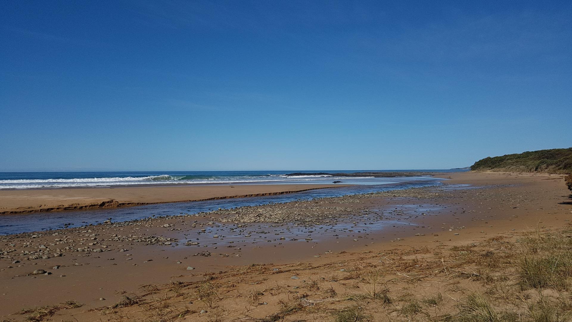
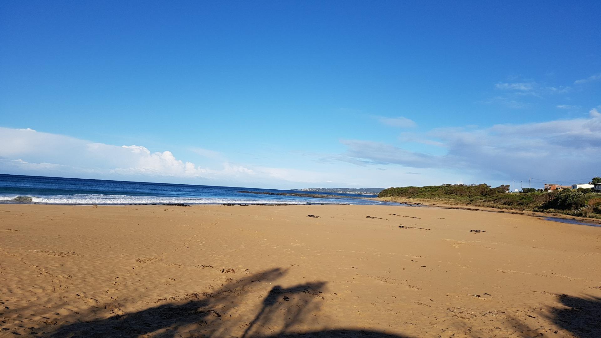
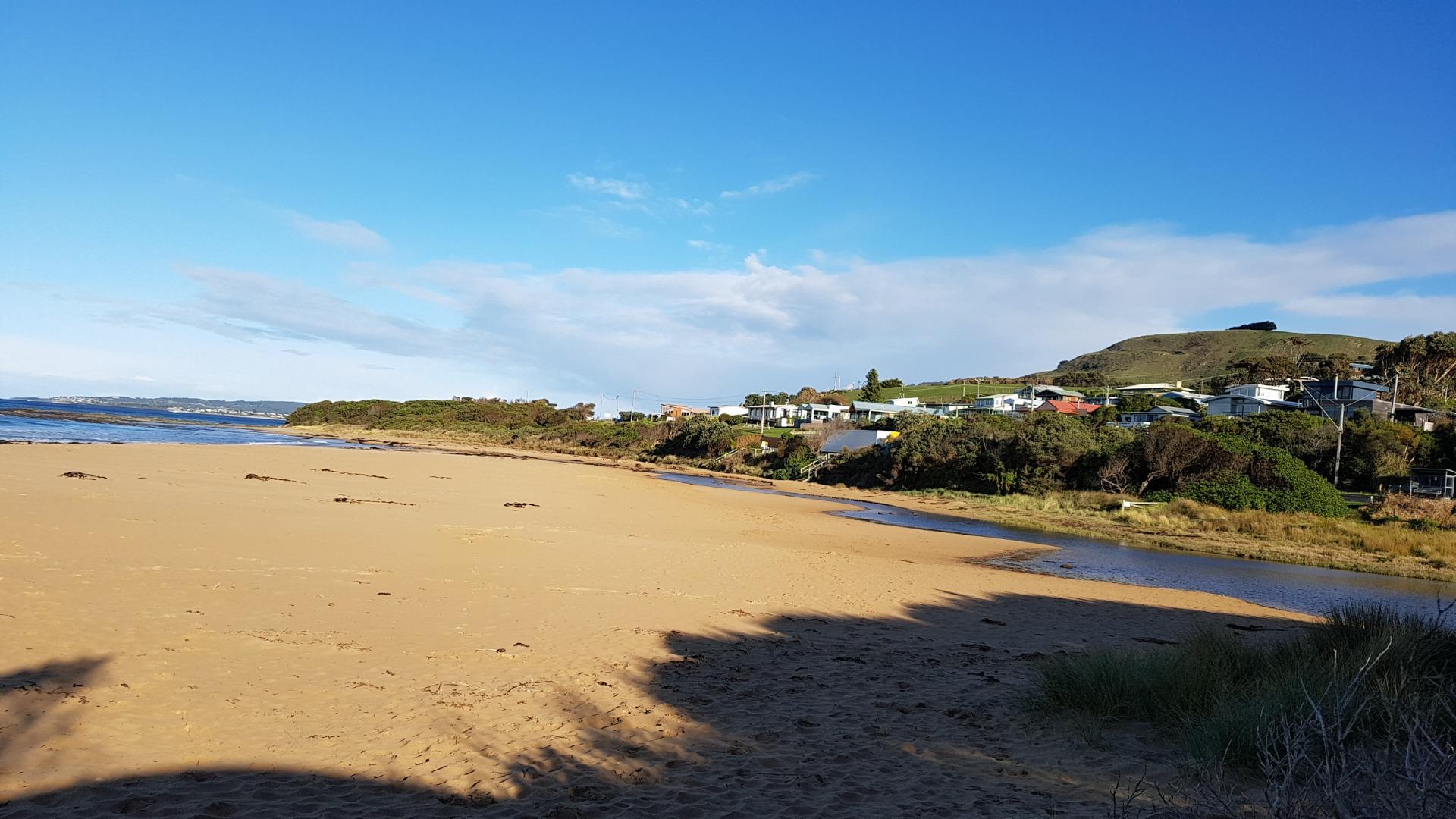
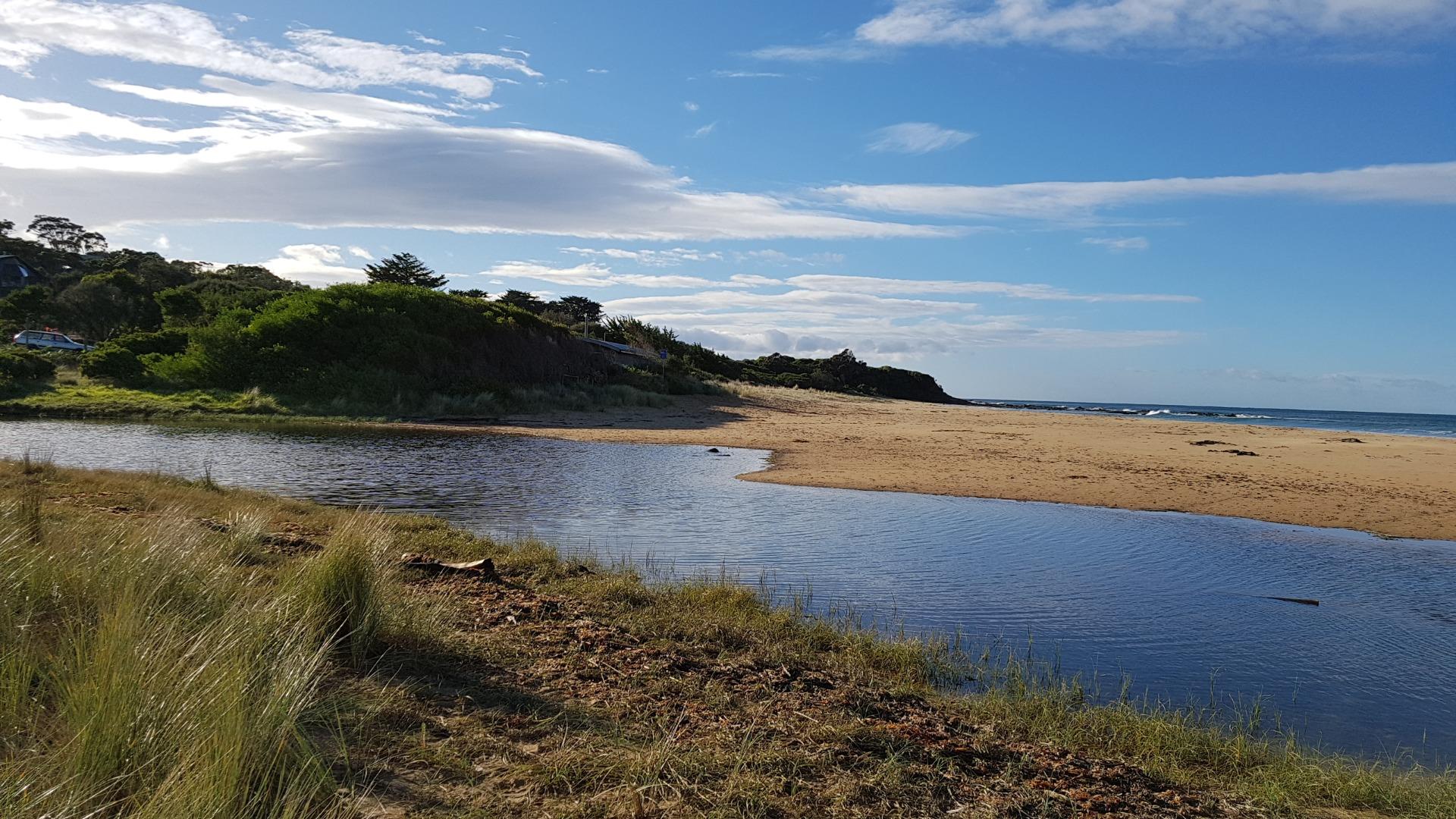
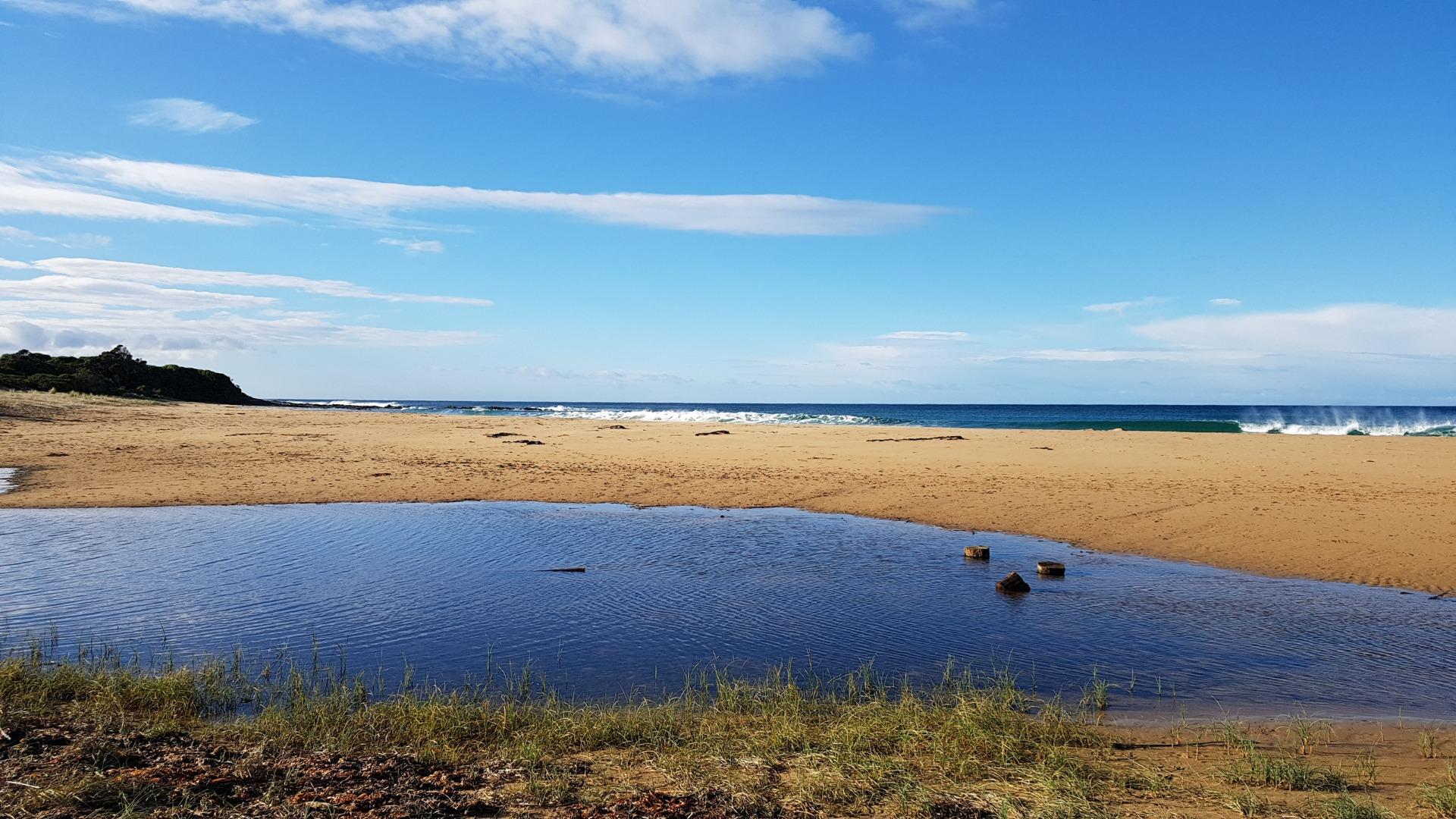
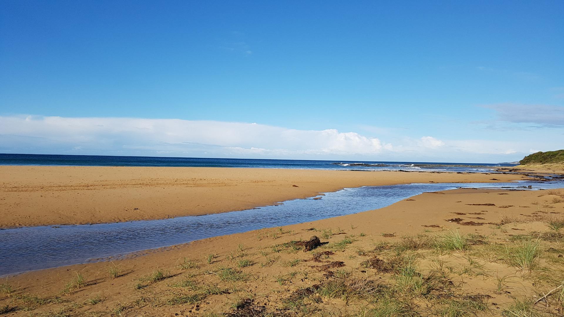
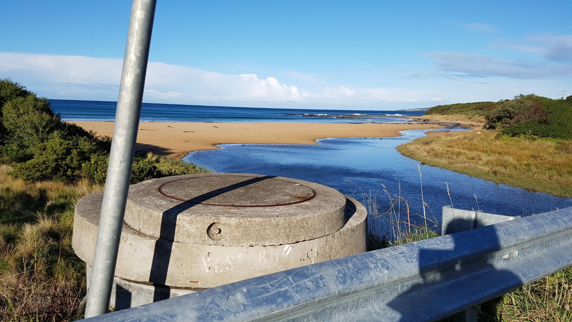
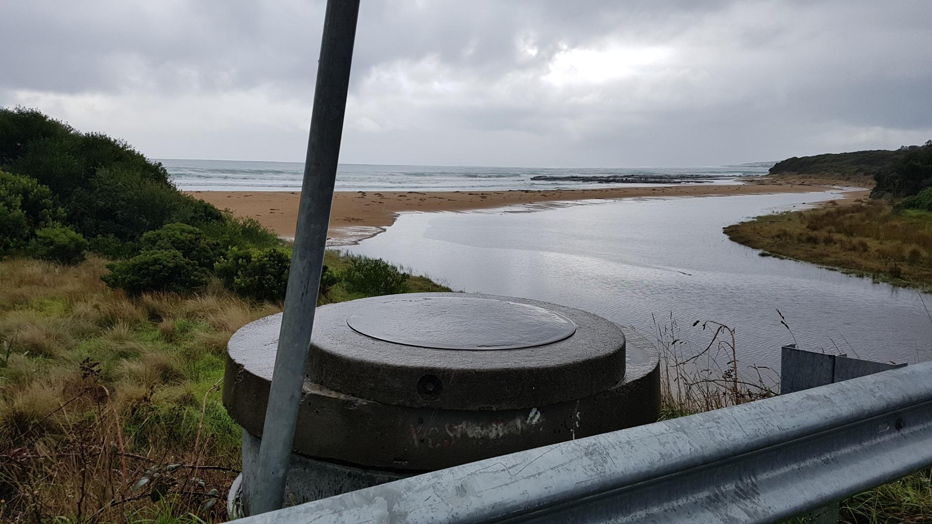
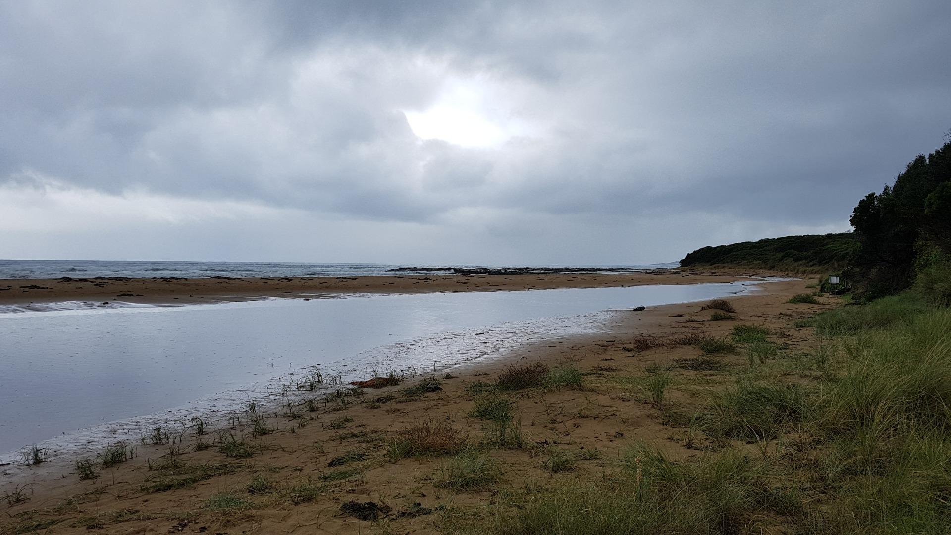
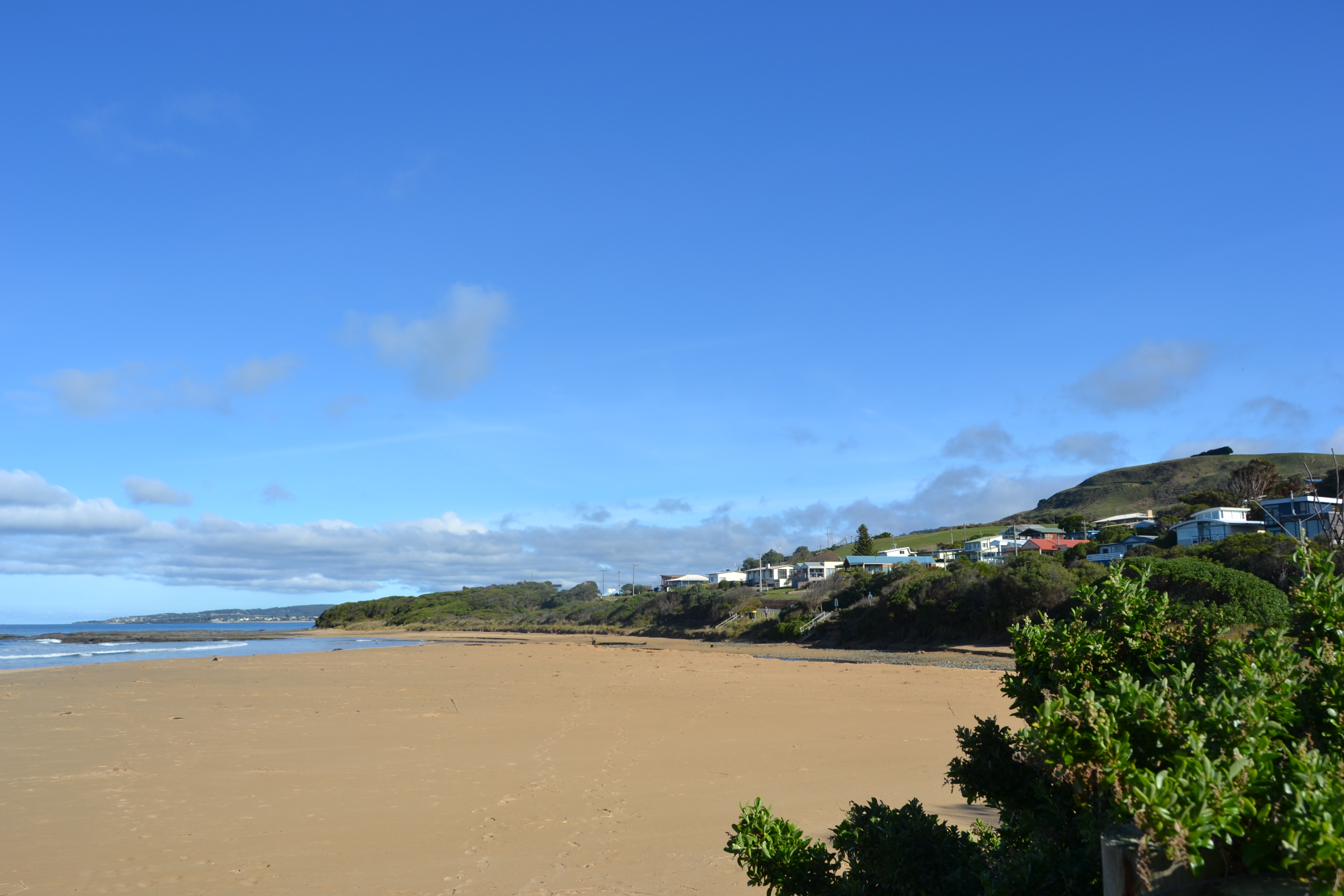
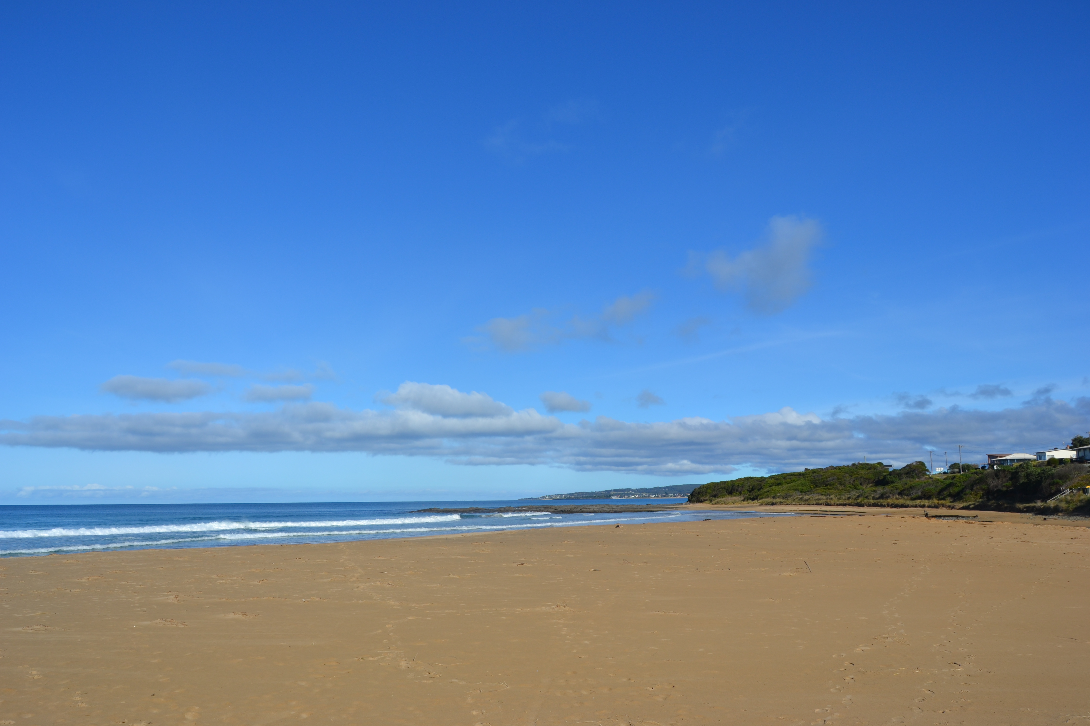
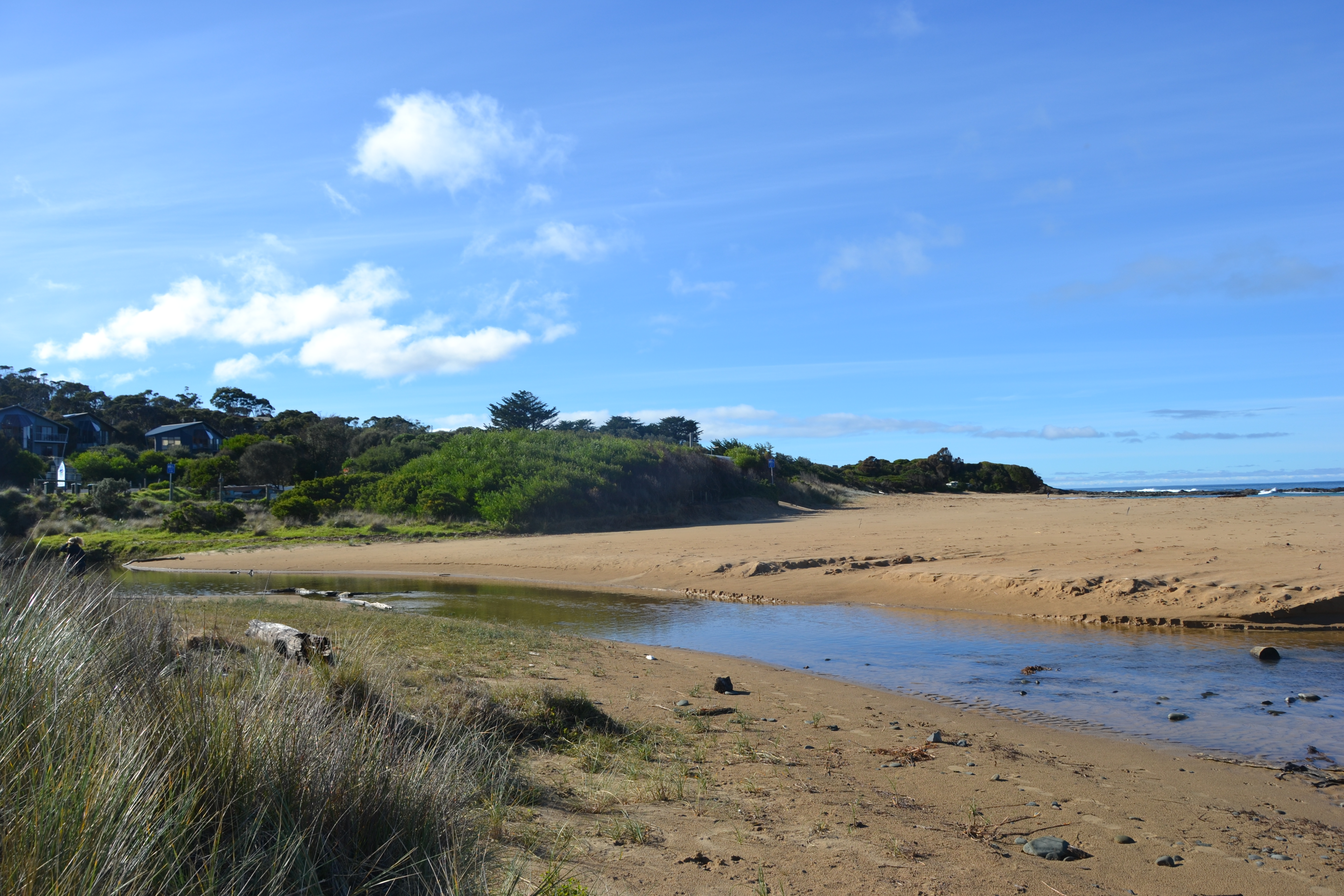
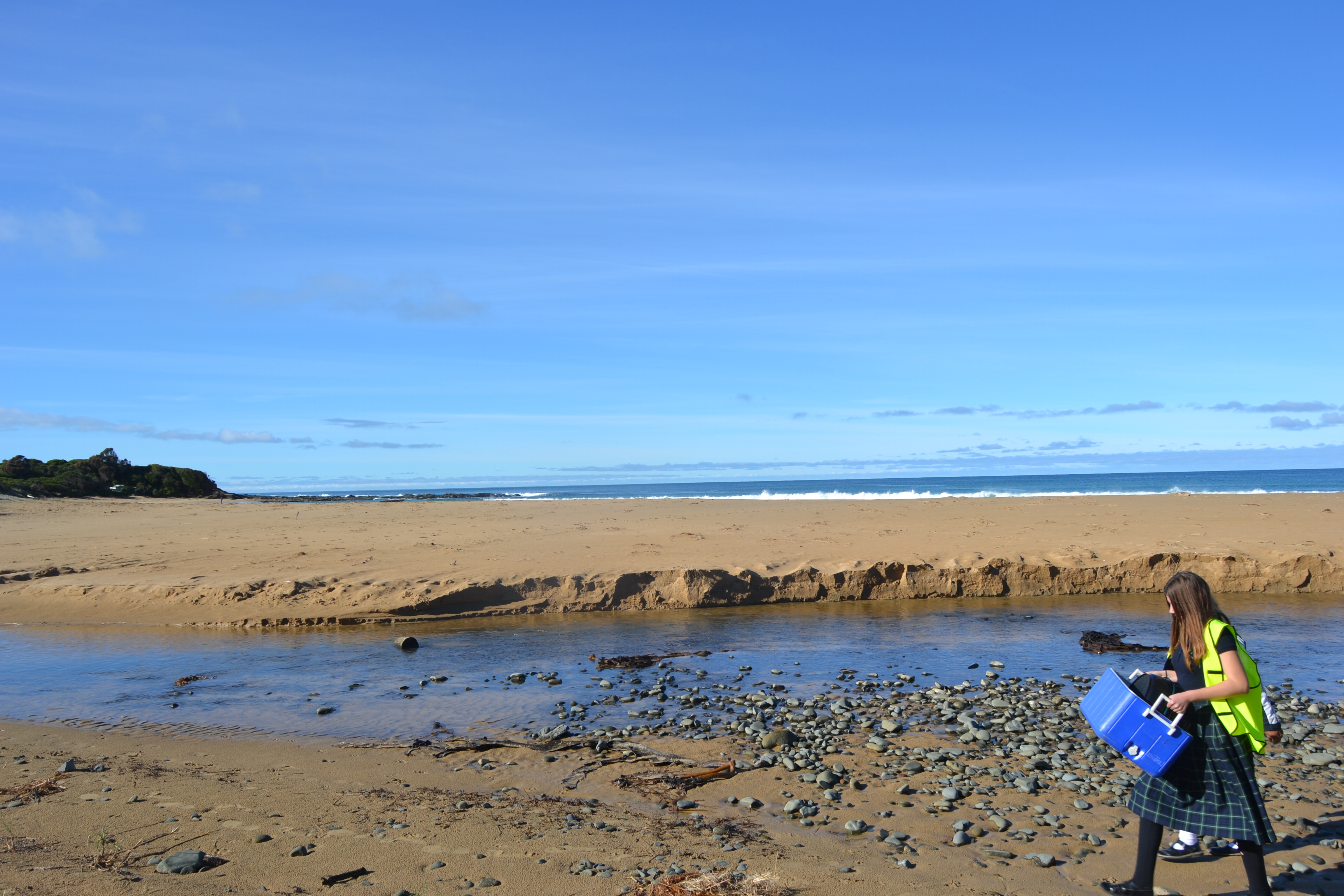
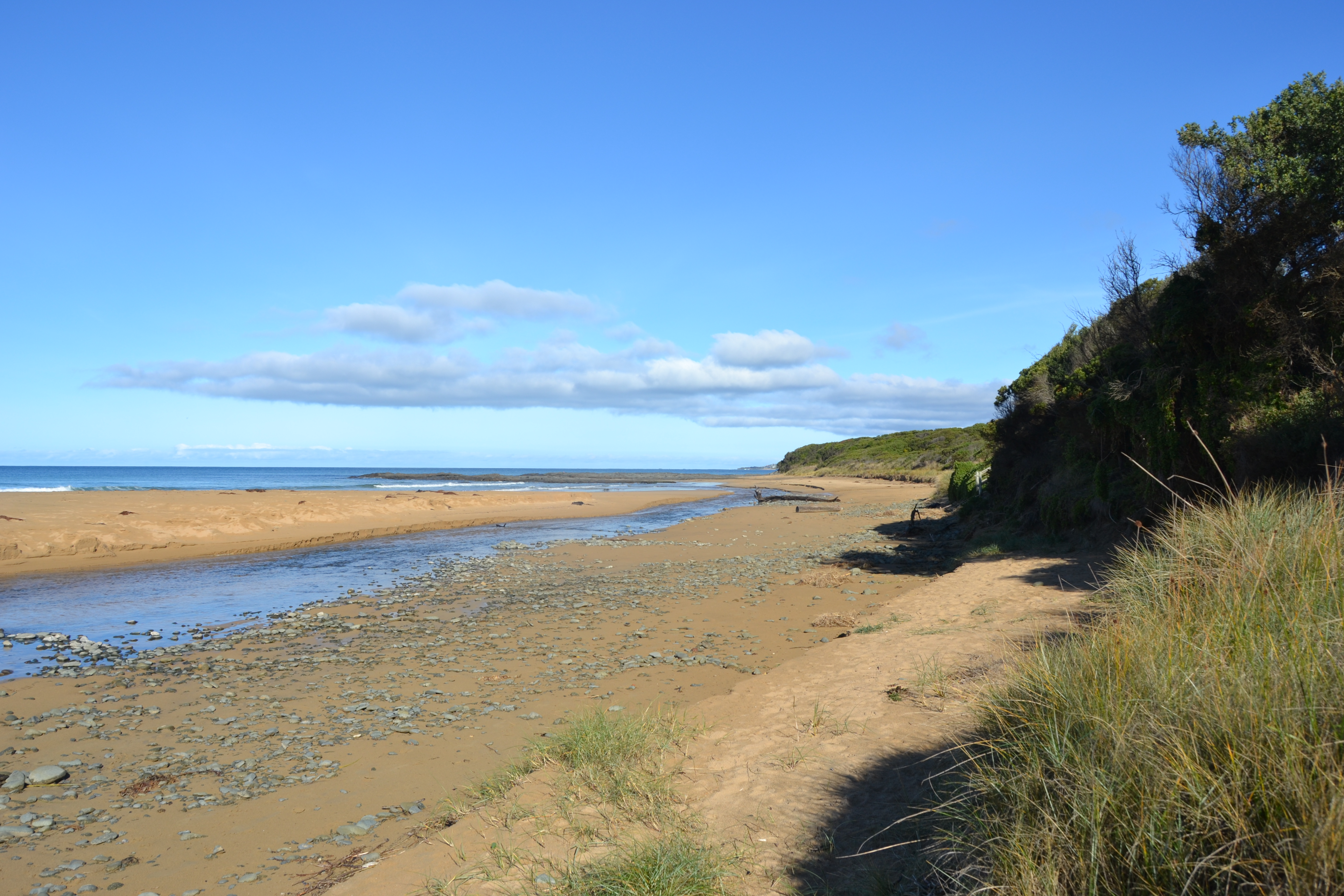
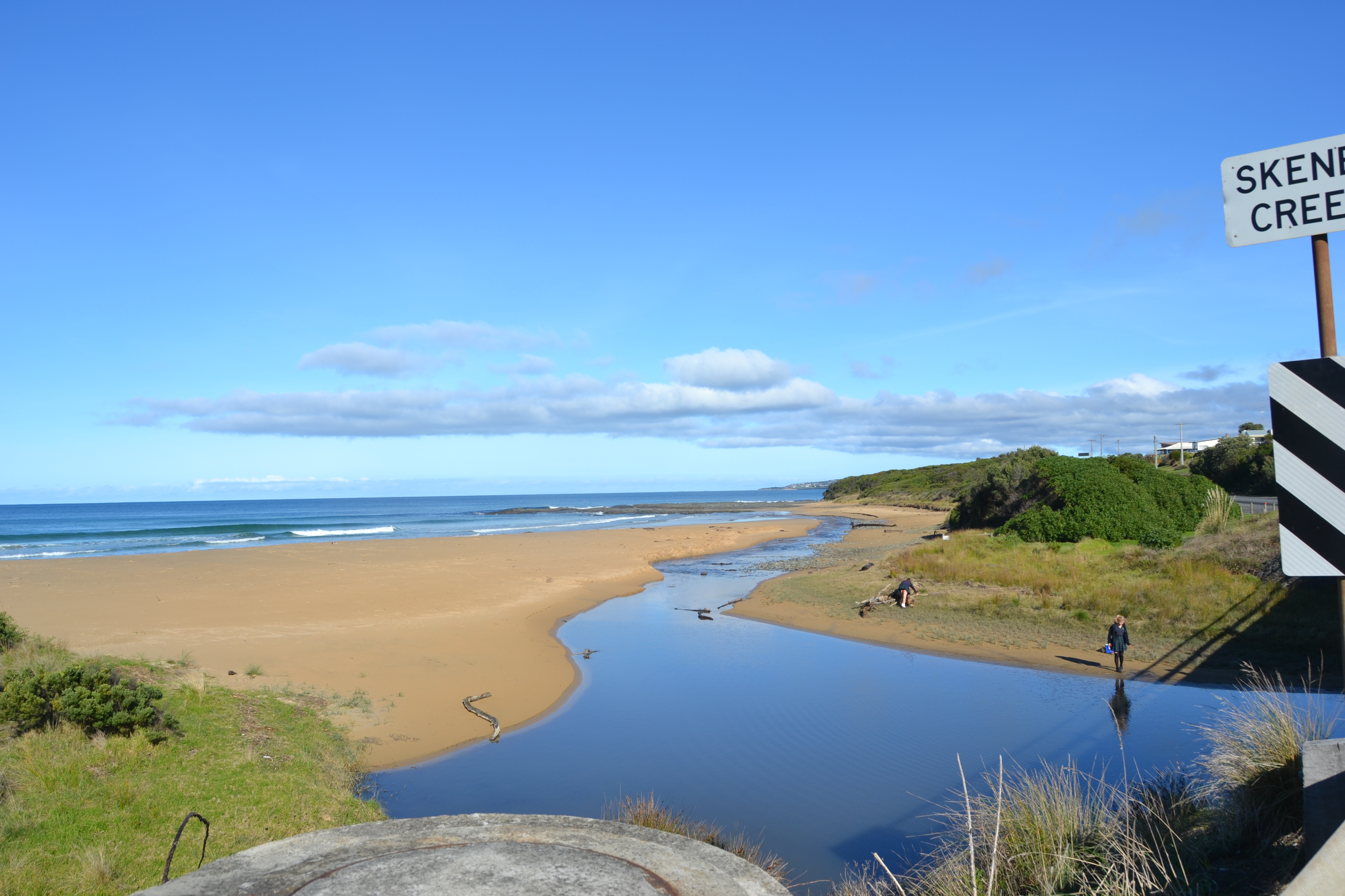
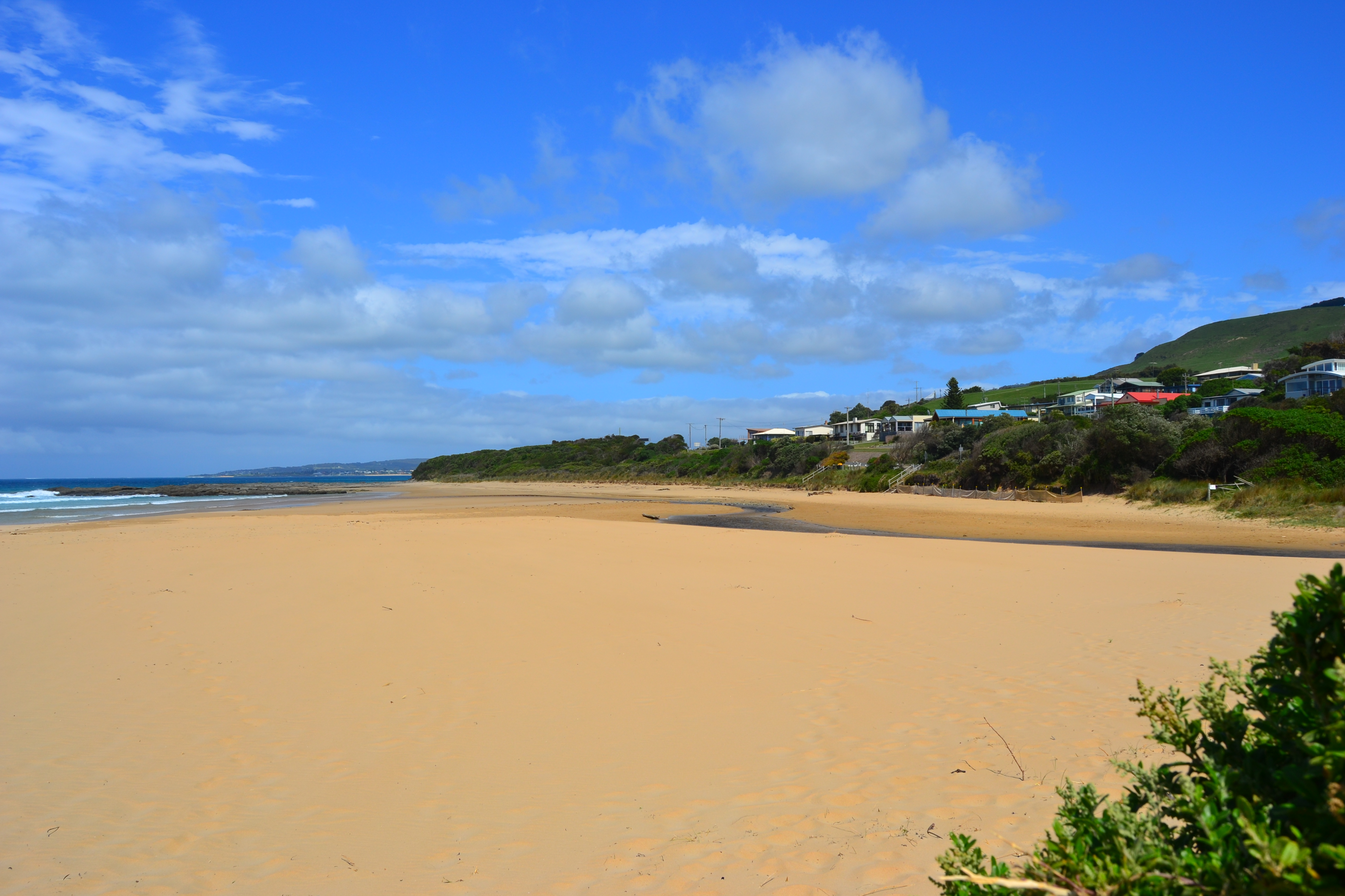
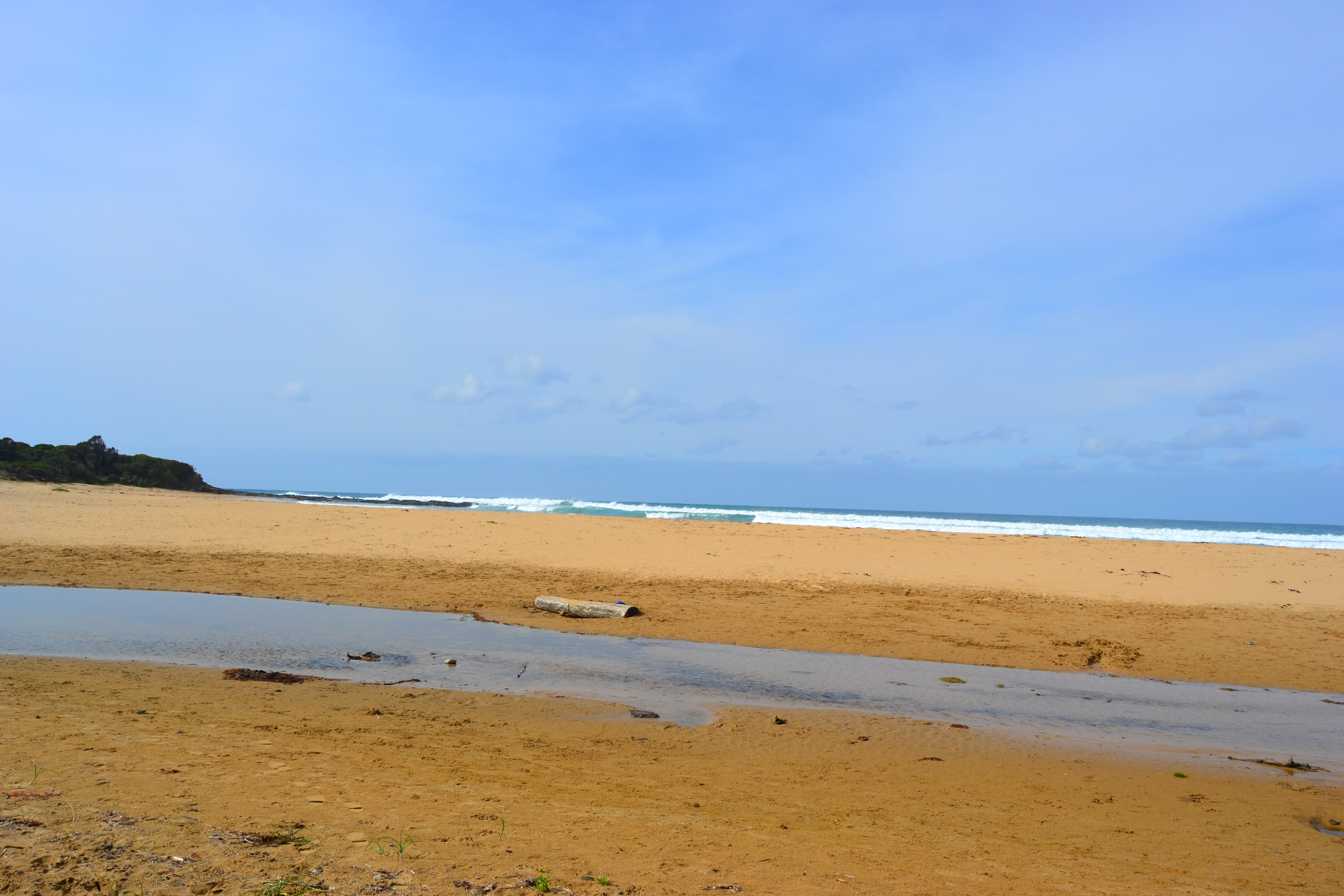
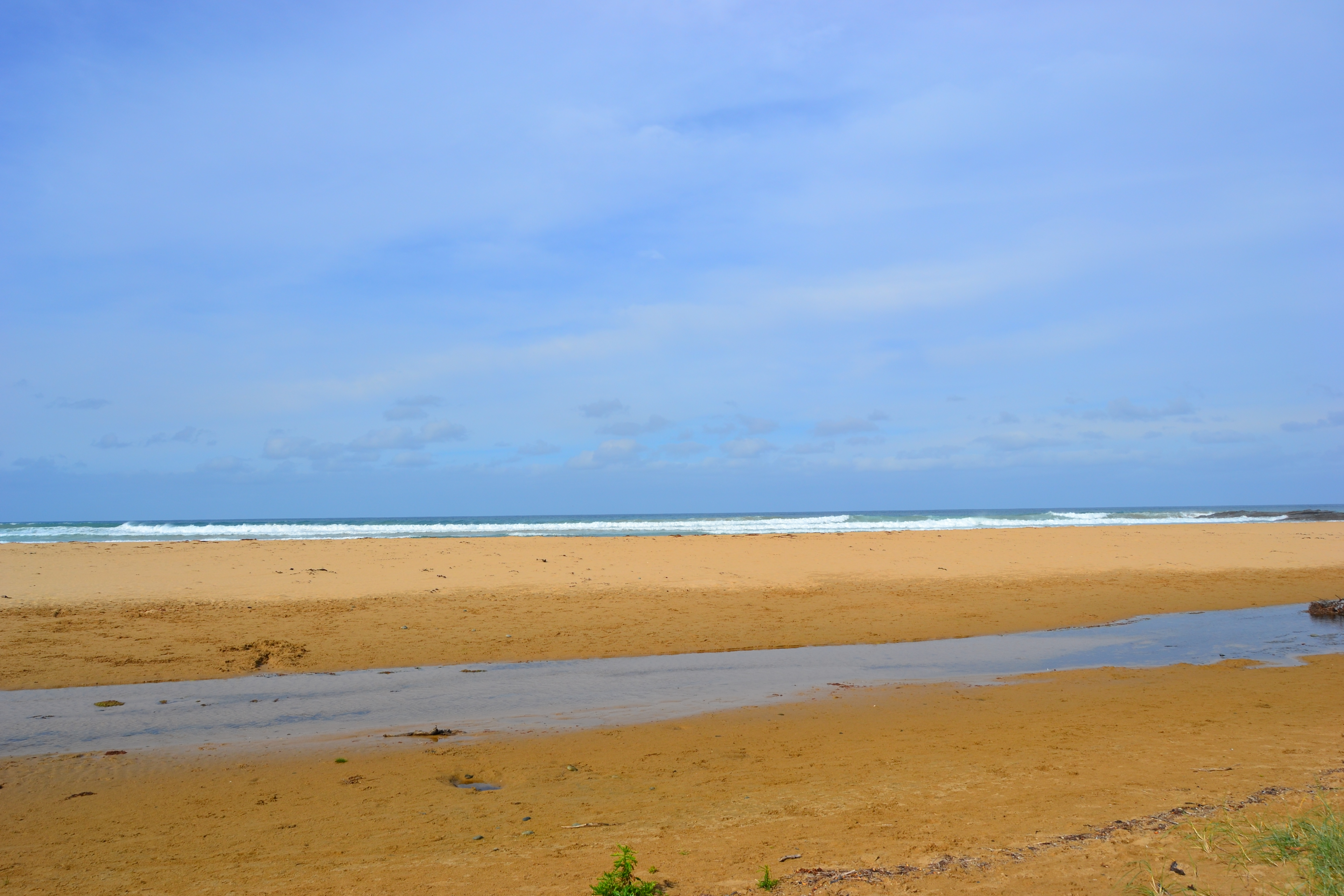
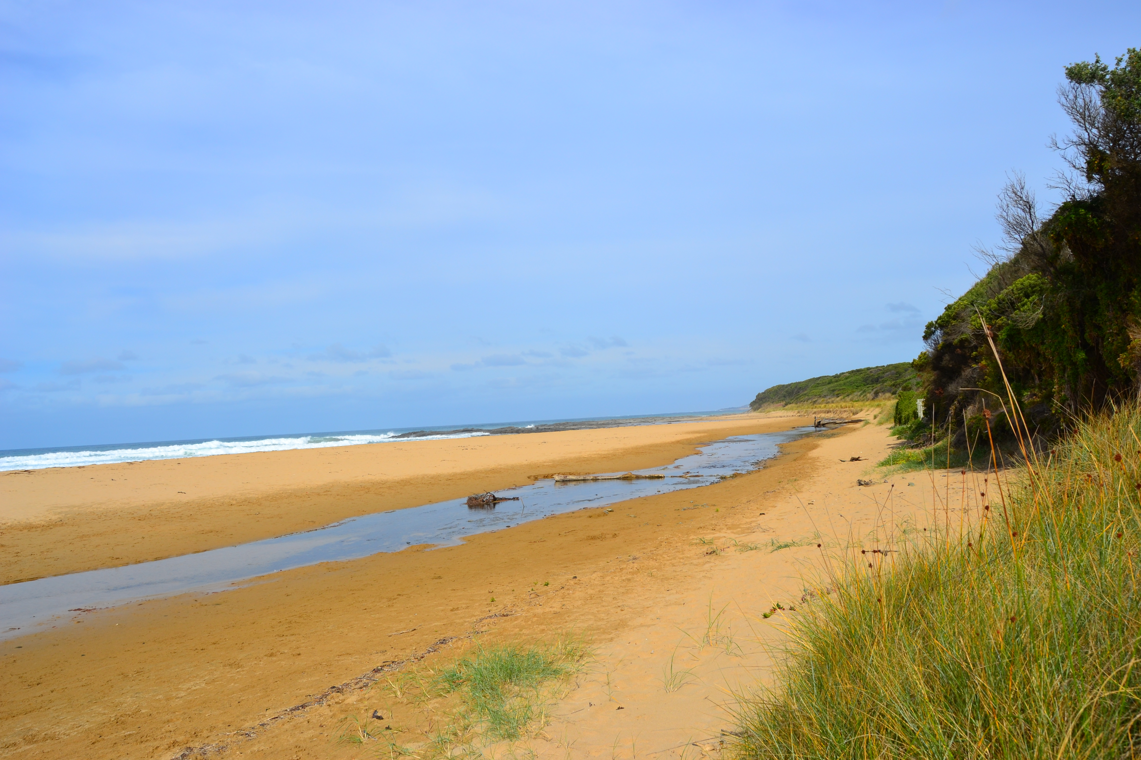
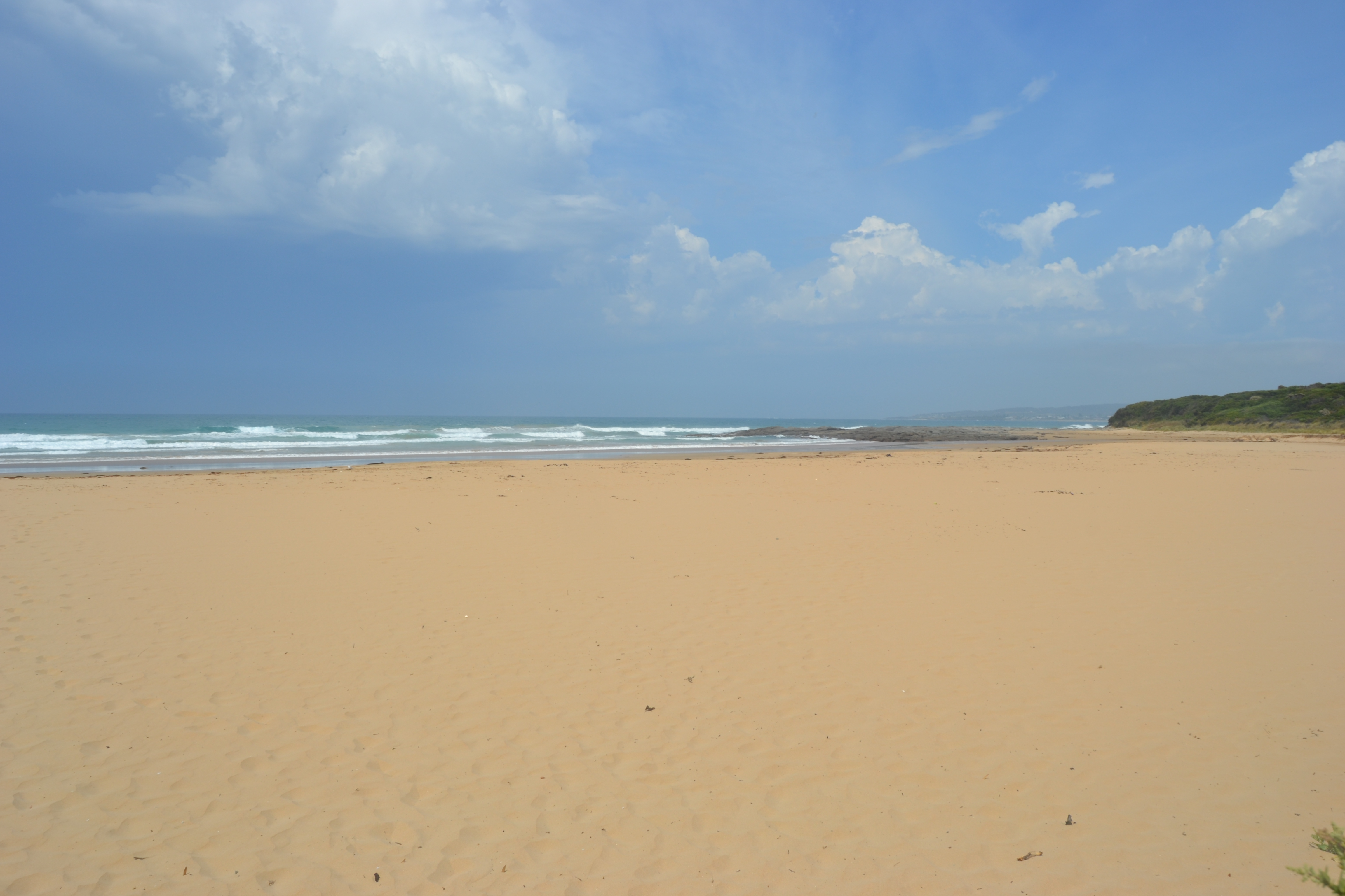
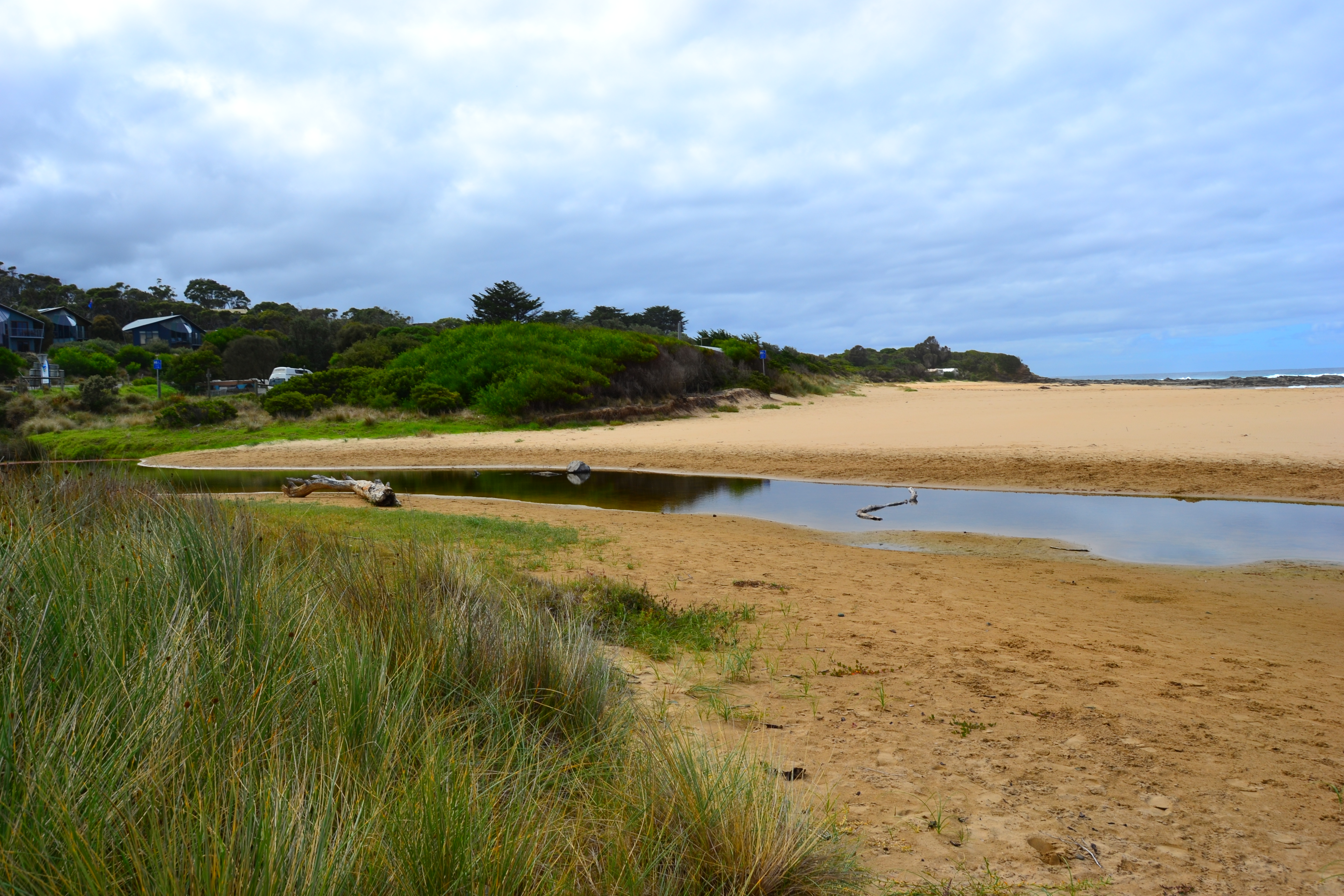
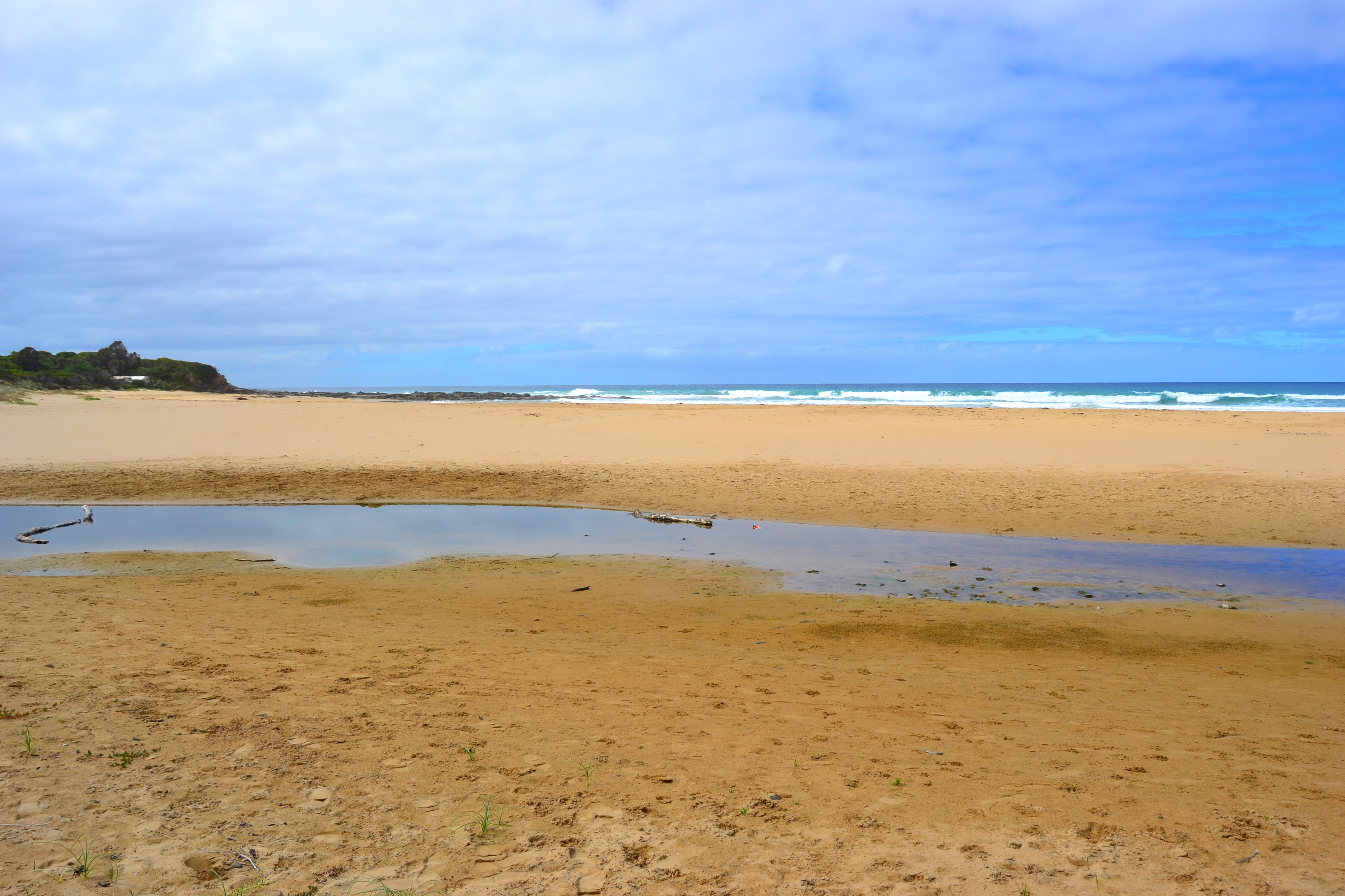
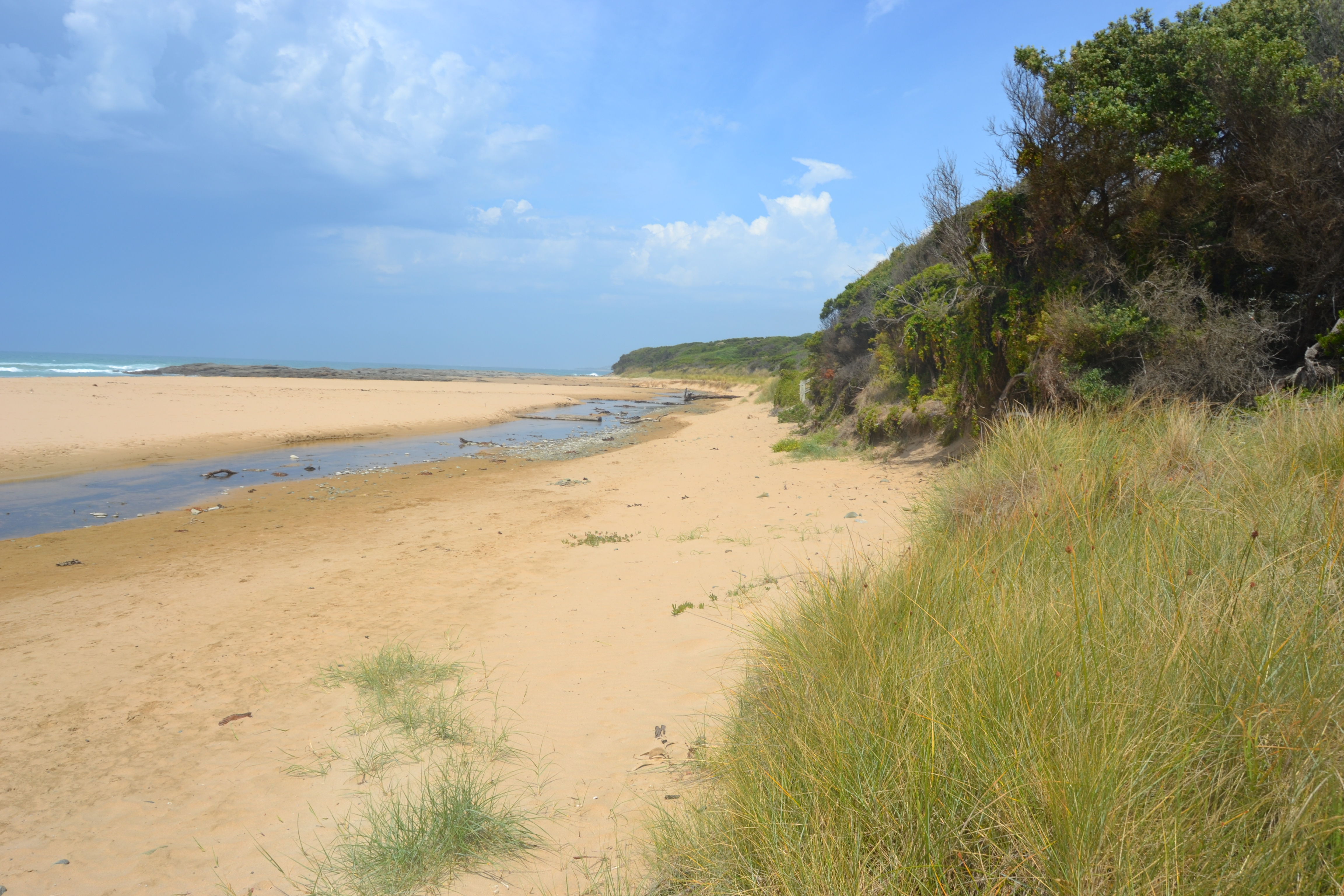
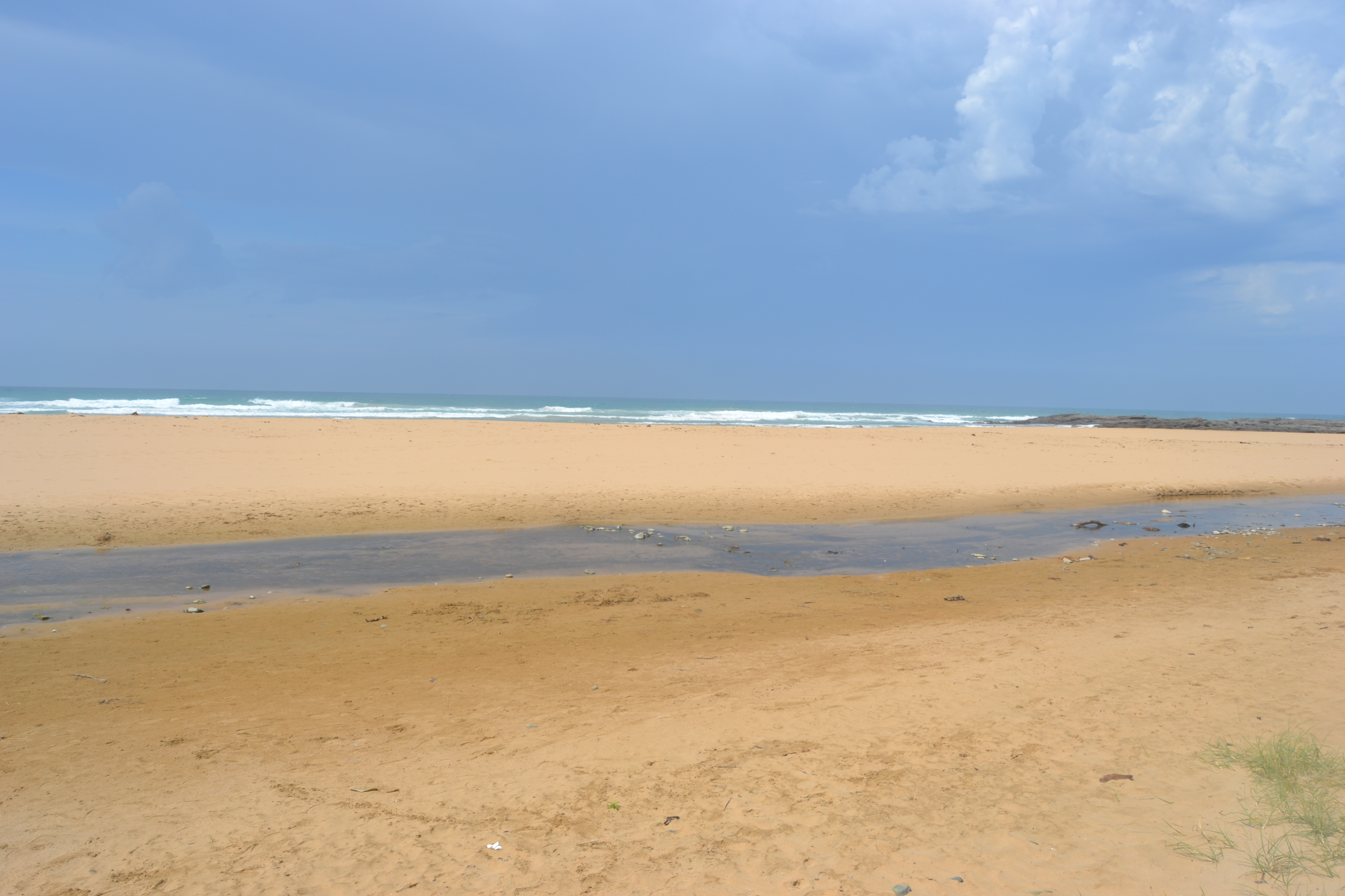
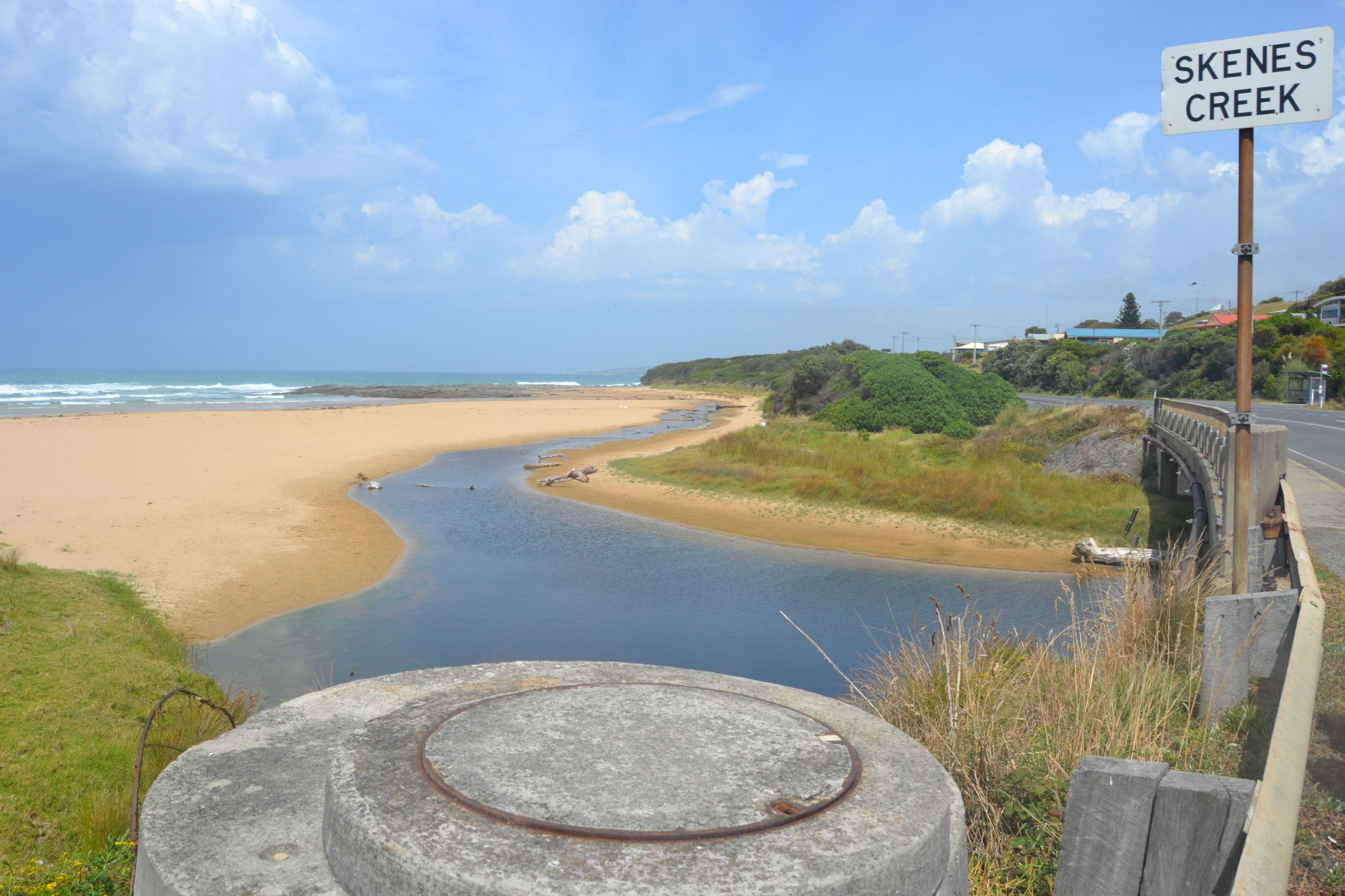
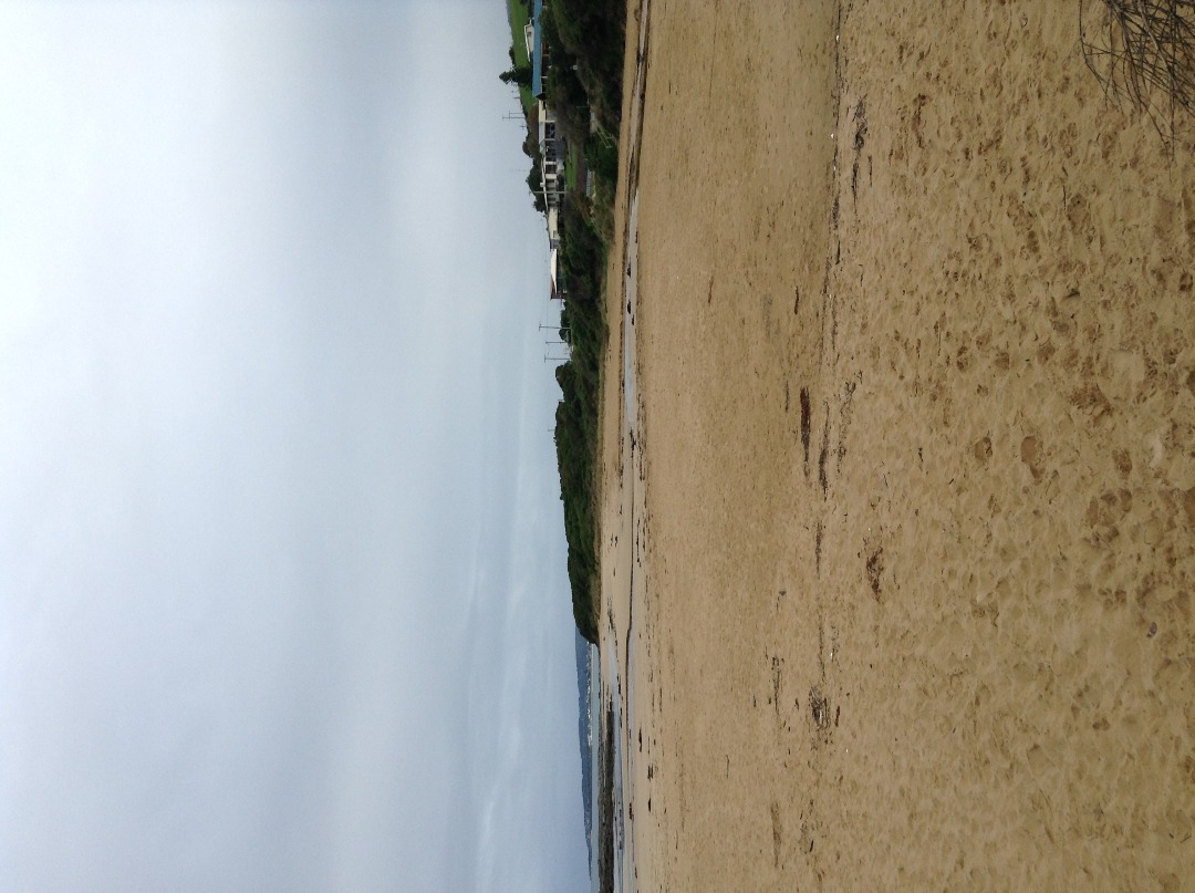
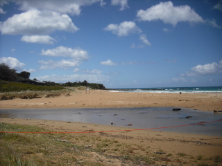
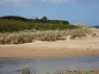
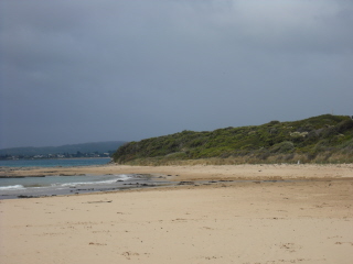
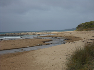
Active Mouth Condition 14-05-2008 - 29-09-2023Skenes Creek Estuary
| ID | Date | Status | Details | |
|---|---|---|---|---|
| #15791 | 29 Sep 2023 | Pending |
Notes:
Water marker out of the water. Reading unavailable |
|
| #15700 | 31 Jul 2023 | Pending |
Notes:
Water level could not be taken- the marker is out of the water. There was no wind so the wind direction could not be taken In the previous two weeks the wind direction had been changeable |
|
| #15653 | 22 Jun 2023 | Pending | ||
| #15525 | 16 May 2023 | Pending |
Notes:
Physical condition mode: variable |
|
| #15377 | 17 Mar 2023 | Pending | ||
| #15178 | 17 Dec 2022 | Pending |
Notes:
Water level gauge out of the water |
|
| #15078 | 13 Oct 2022 | Pending | ||
| #15022 | 16 Sep 2022 | Pending |
Notes:
Water levels could not be taken - gauge is not in the water |
|
| #12554 | 29 Nov 2018 | Approved | ||
| #12506 | 25 Oct 2018 | Approved | ||
| #12505 | 23 Aug 2018 | Approved | ||
| #12504 | 19 Jul 2018 | Approved | ||
| #12503 | 14 Jun 2018 | Approved | ||
| #12484 | 10 May 2018 | Approved | ||
| #12483 | 26 Apr 2018 | Approved | ||
| #12463 | 19 Feb 2018 | Approved |
       |
|
| #9911 | 23 Oct 2015 | Approved | ||
| #9917 | 16 Oct 2015 | Approved | ||
| #9914 | 28 Aug 2015 | Approved | ||
| #9863 | 31 Jul 2015 | Approved |
Notes:
Unable to record water level because both gauge boards were out of water. |
|
| #10832 | 5 Jun 2015 | Approved |
|
|
| #9756 | 1 May 2015 | Approved |
Notes:
Gauge board was out of the water, water level was not recorded. |
|
| #9910 | 17 Apr 2015 | Approved | ||
| #9909 | 13 Mar 2015 | Approved | ||
| #9908 | 13 Feb 2015 | Approved | ||
| #10828 | 4 Jun 2014 | Approved | ||
| #8851 | 7 May 2014 | Approved | ||
| #10827 | 23 Apr 2014 | Approved |
|
|
| #10826 | 5 Mar 2014 | Approved | ||
| #10831 | 8 Aug 2013 | Approved |
|
|
| #10830 | 6 Jun 2013 | Approved |
Notes:
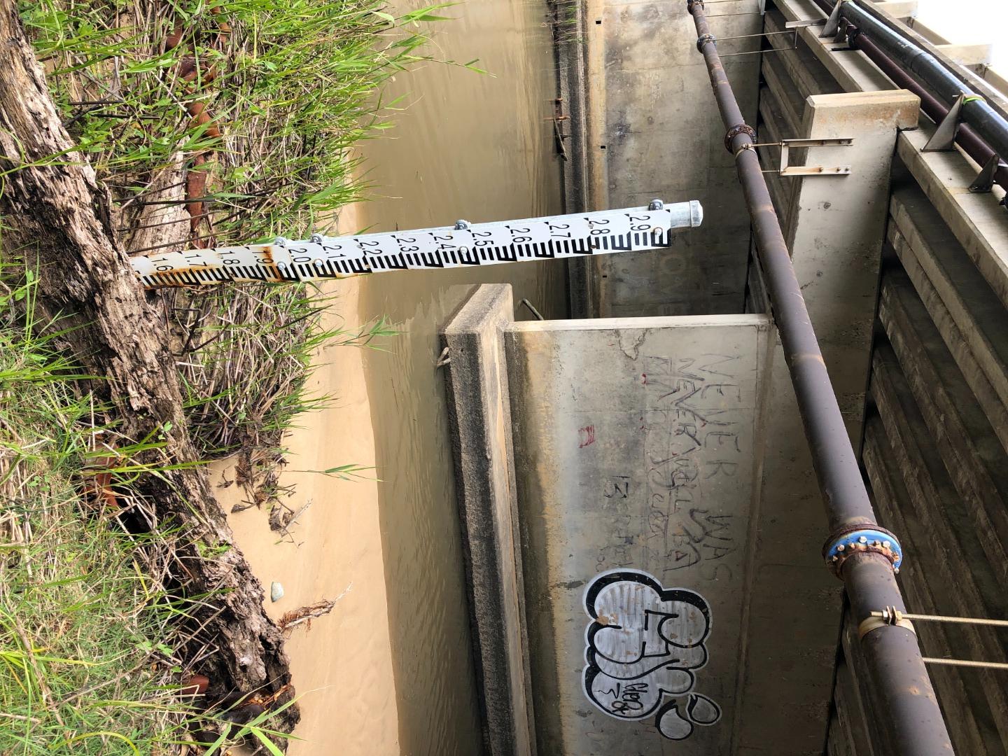
Length of estuary 170m Width mouth 4.16m Width middle 3.45m Depth of mouth 9.2cm Depth middle 14.5cm Depth at bridge 73.5cm
|
|
| #8537 | 2 May 2013 | Approved |
Notes:
Length 196.5m Width top 29m Depth top 51cm Width centre 13m Depth centre 23.5cm Width bottom 20m Depth bottom 8cm |
|
| #10829 | 28 Mar 2013 | Approved |
Notes:
Weather has varied a lot over last 2 weeks including northerly, easterly, and westerly winds River length to bridge from mouth 175m Width of mouth 5.7m Depth of mouth 5cm Width of middle 12m Depth of middle 20cm Depth centre of bridge 75cm Depth centre pylon 15cm |
|
| #5985 | 25 Mar 2011 | Approved | Notes: note digger on sand replacing sand to ramp skp3 because of previous episodes of tidal erosion | |
| #4981 | 17 Dec 2010 | Approved | ||
| #4246 | 26 Jun 2010 | Approved |
Notes:
Photos taken
      |
|
| #4245 | 10 May 2010 | Approved |
Notes:
SkP1 3 photos SKP2 1 photo SKP3 3 photos 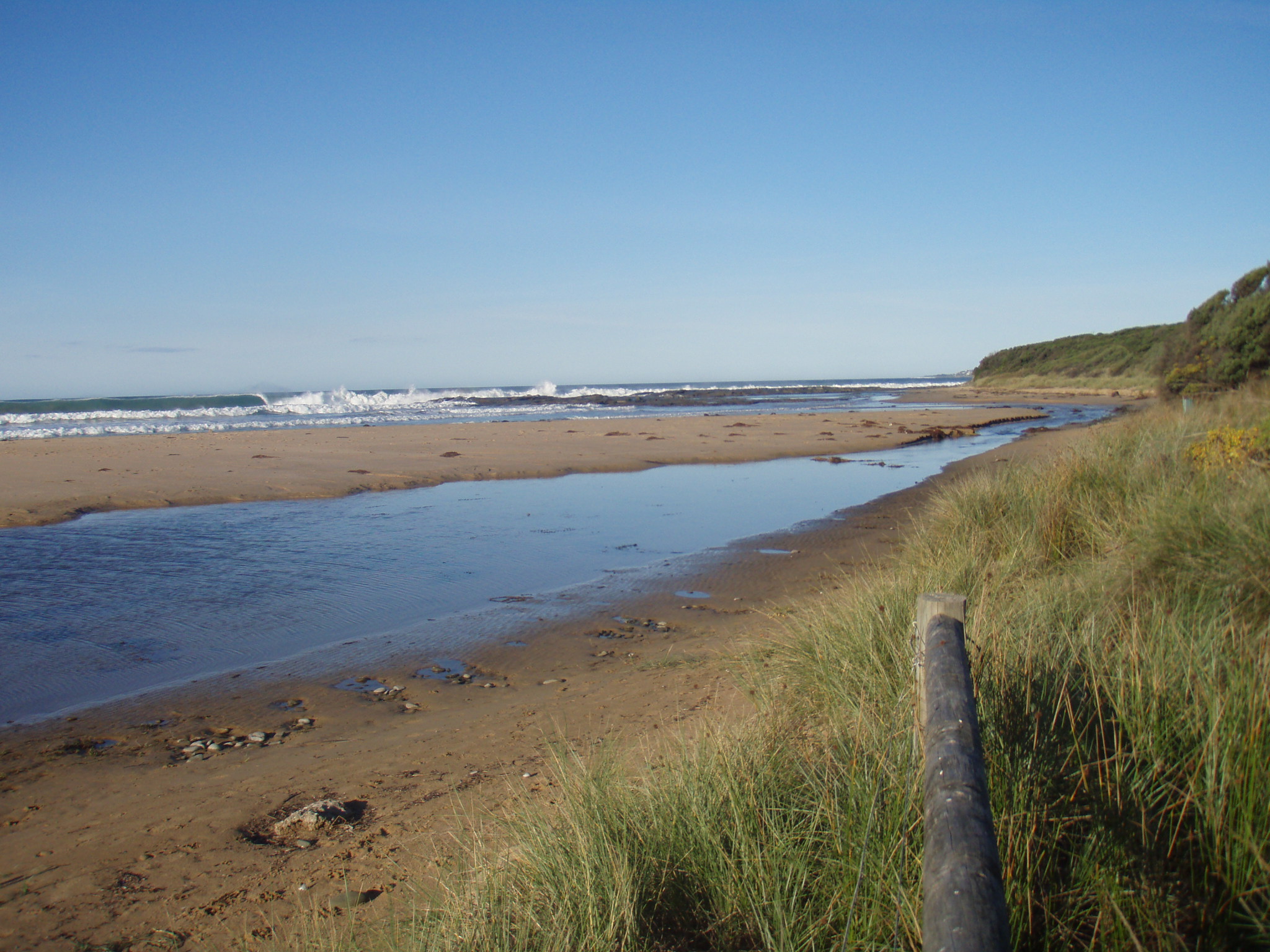 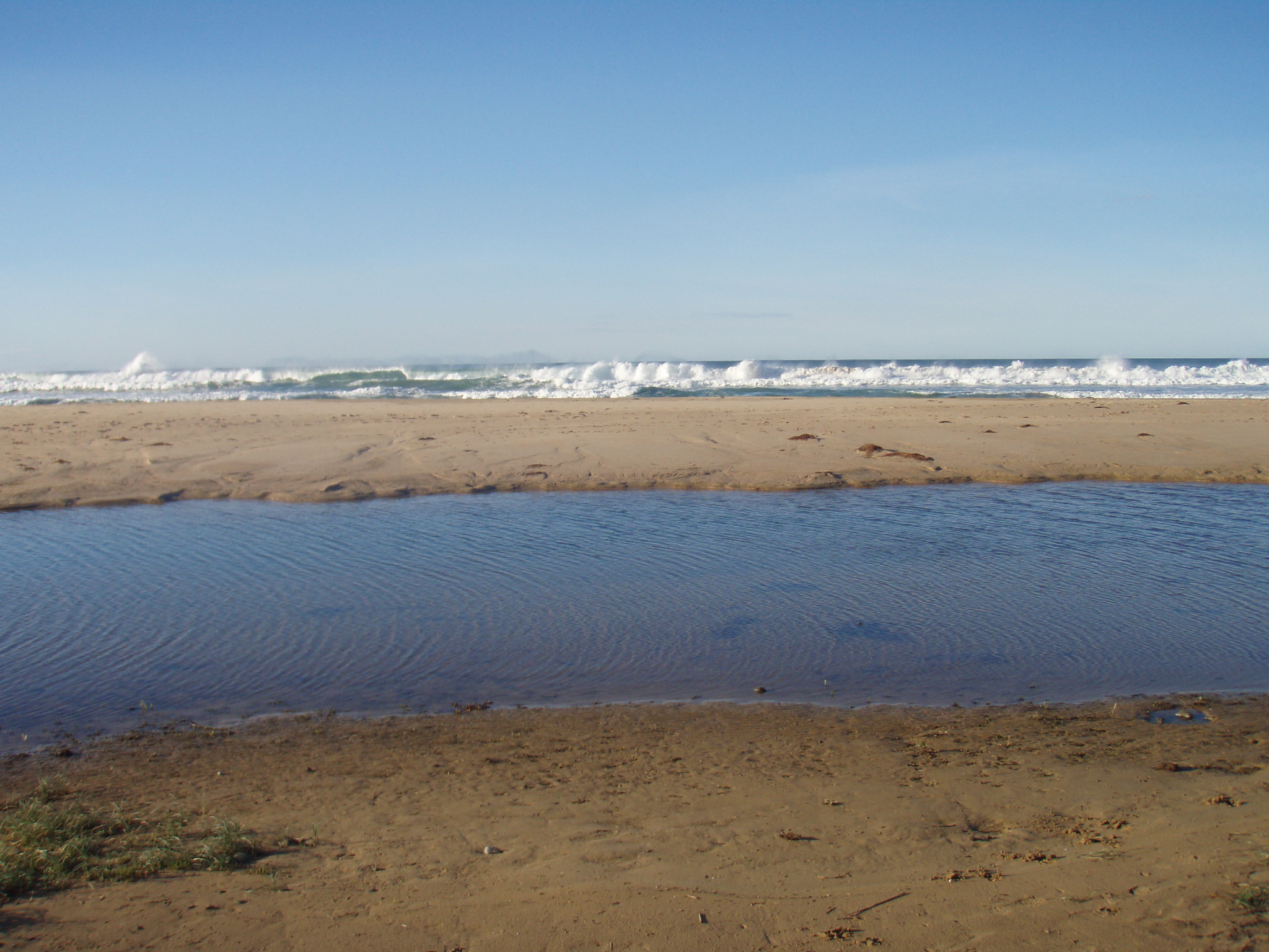  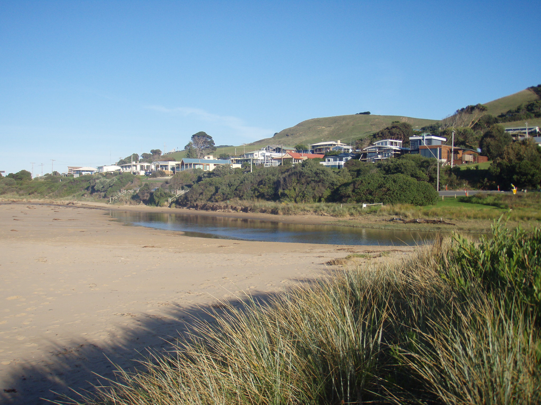 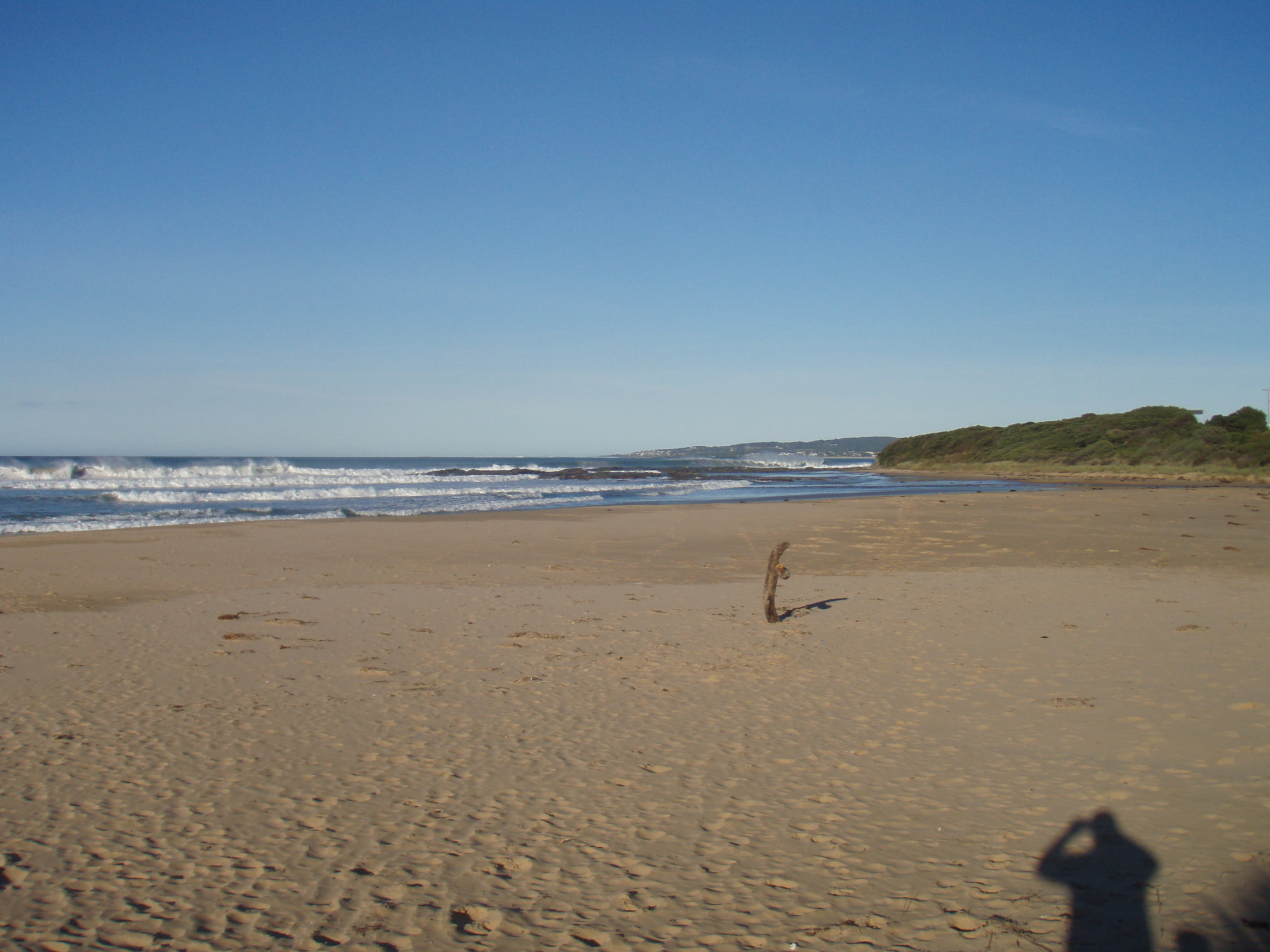 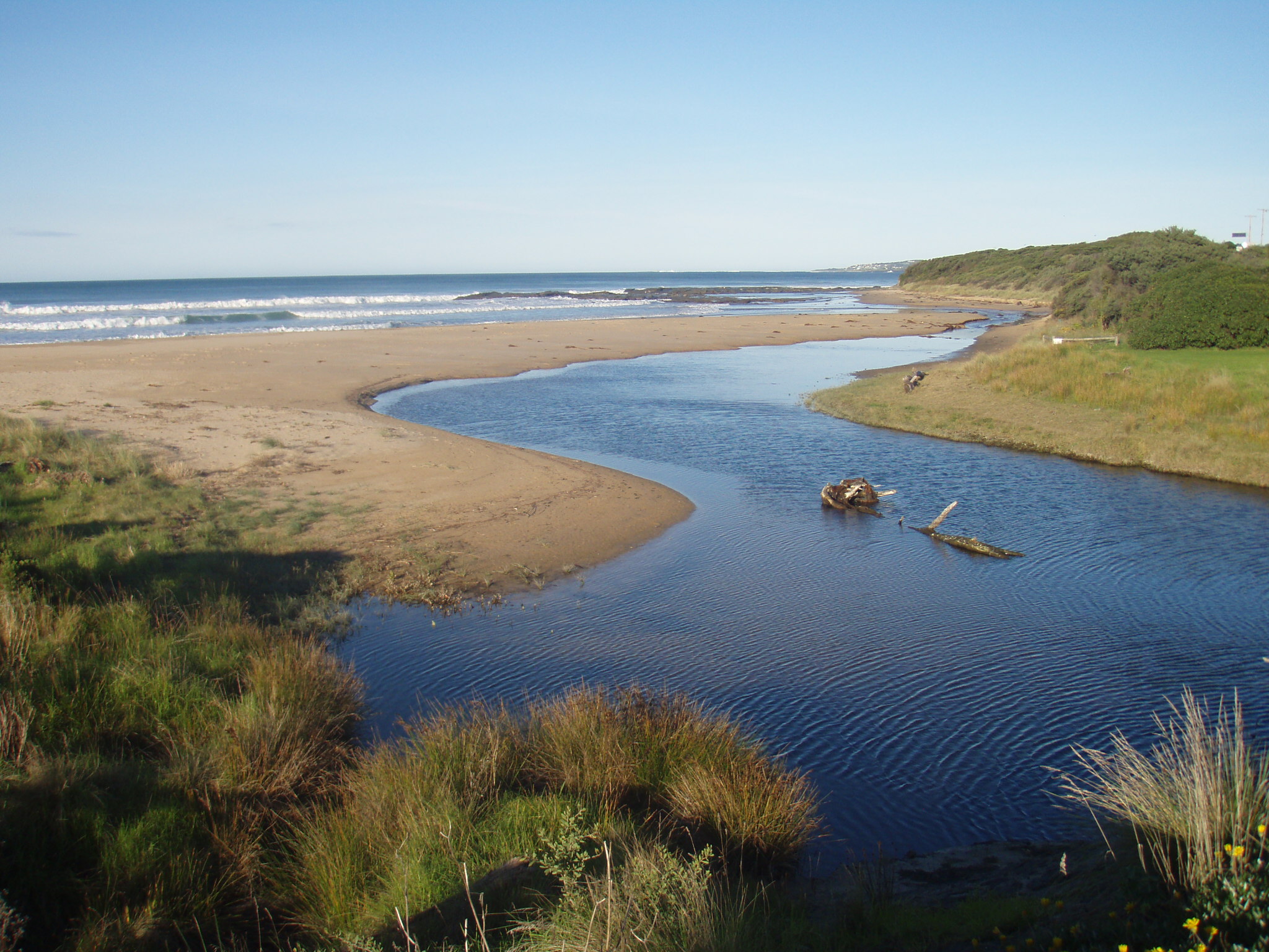 |
|
| #4244 | 9 Apr 2010 | Approved |
      |
|
| #4243 | 8 Feb 2010 | Approved |
        |
|
| #4242 | 1 Dec 2009 | Approved |
|
|
| #4241 | 9 Nov 2009 | Approved |
|
|
| #3044 | 1 Oct 2009 | Approved | ||
| #2444 | 28 Jul 2009 | Approved |
|
|
| #2443 | 25 Jun 2009 | Approved |
|
|
| #2442 | 31 May 2009 | Approved |
Notes:
Berm perched together with heavy rainfall & high tides & rough seas berm pushed back toward Great Ocean bridge see photos 01/06/09 along with woody debris still indicating high water mark
|
|
| #2441 | 29 Apr 2009 | Approved | Notes: Berm/mouth perched weekend - heavy rains 25/26/04. High tide 26/04 with high seas. Estuary ocean side of Great Ocean Road flooded | |
| #2021 | 24 Feb 2009 | Approved | ||
| #1603 | 2 Jan 2009 | Approved | ||
| #1602 | 1 Dec 2008 | Approved | Notes: First photos taken @ 0930, then Hooded Plovers sighted nesting. Aborted monitoring to arrange & helperect protective signage and rope off area | |
| #1601 | 27 Oct 2008 | Approved | ||
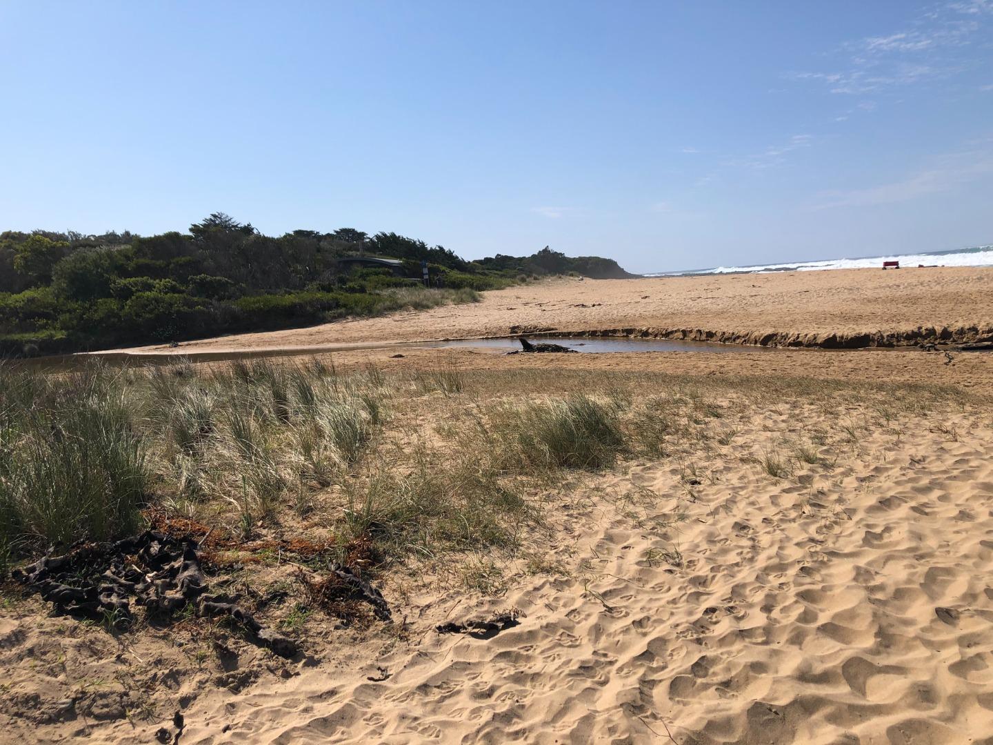
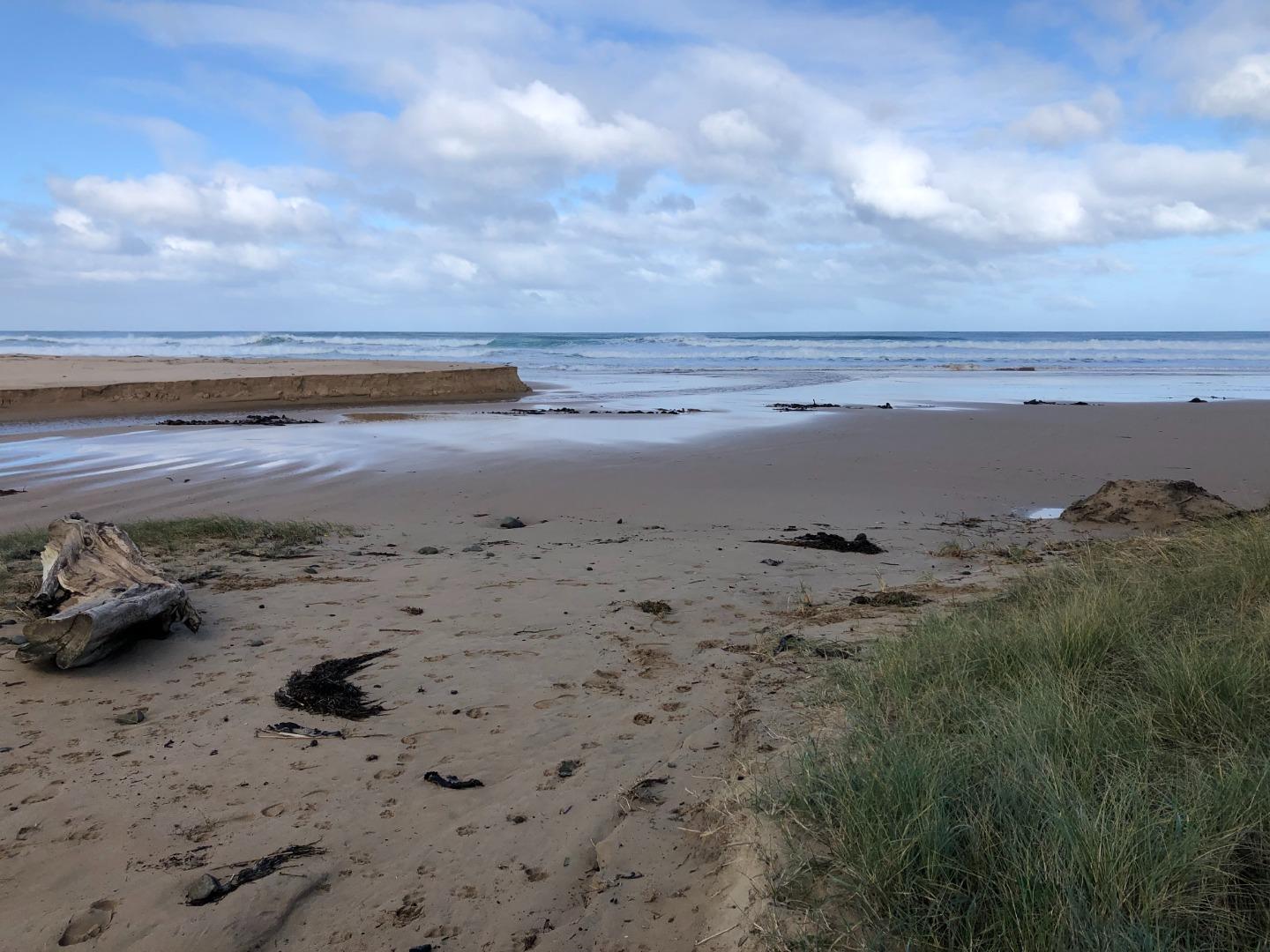
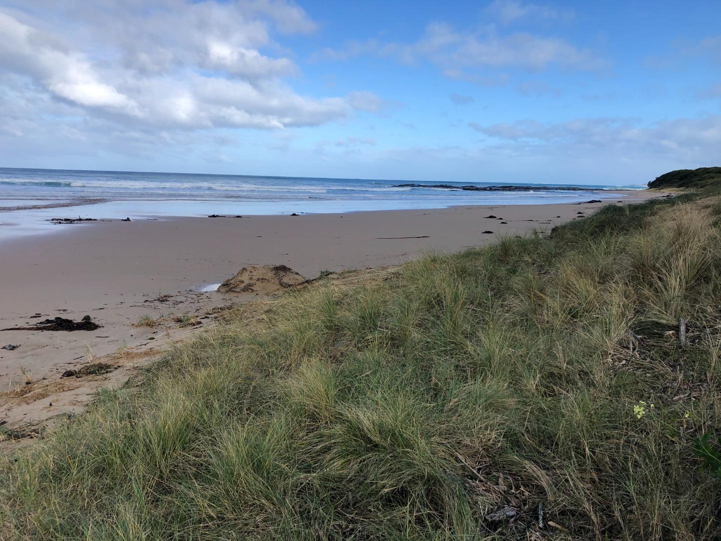
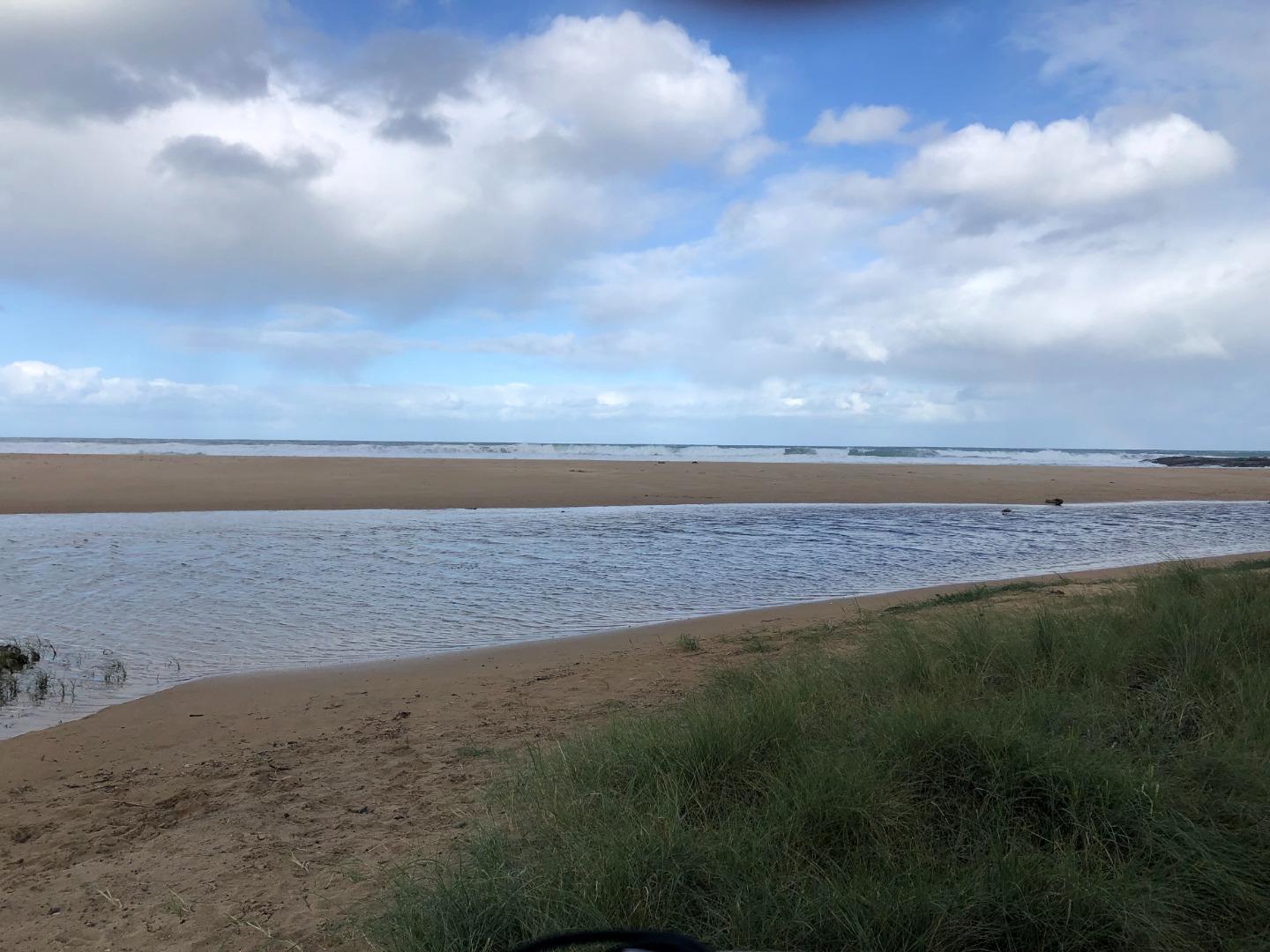
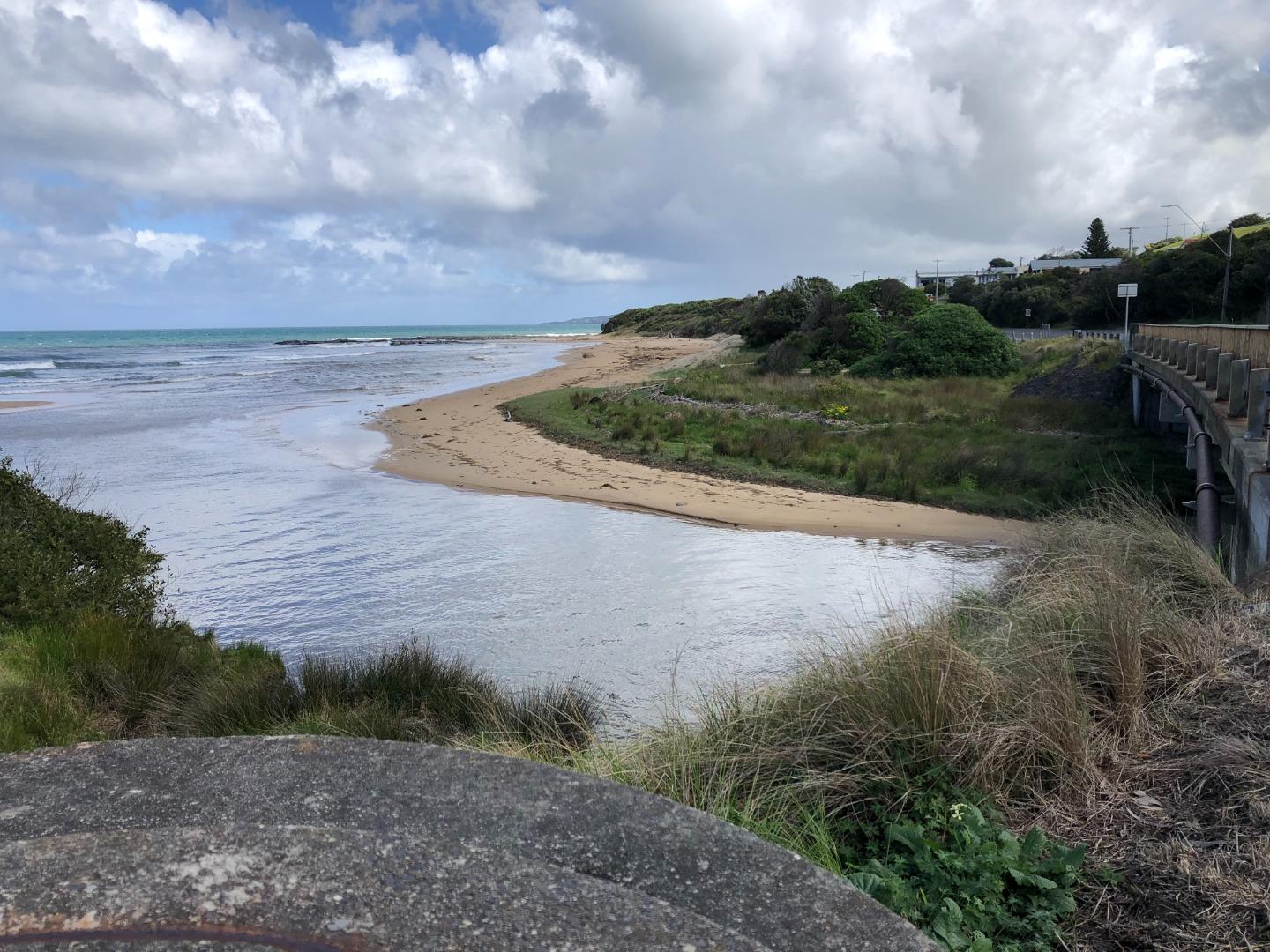
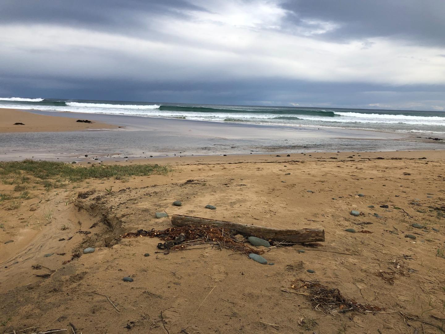
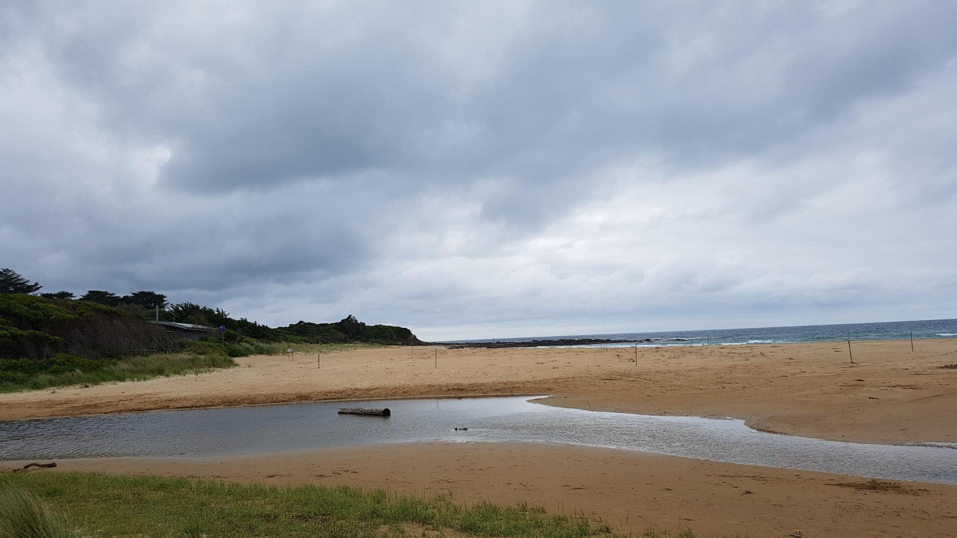

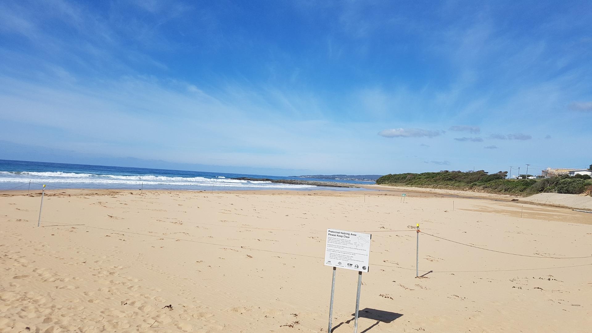
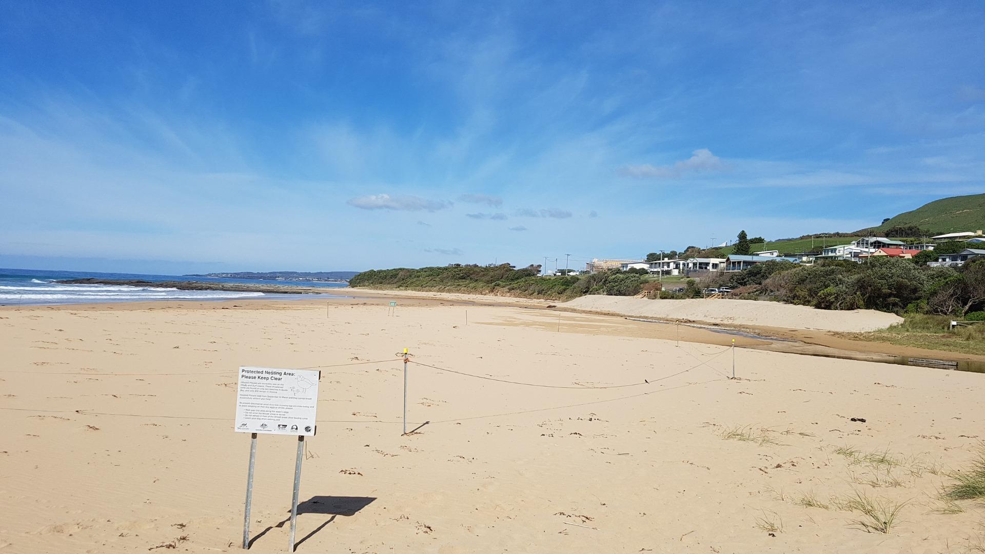
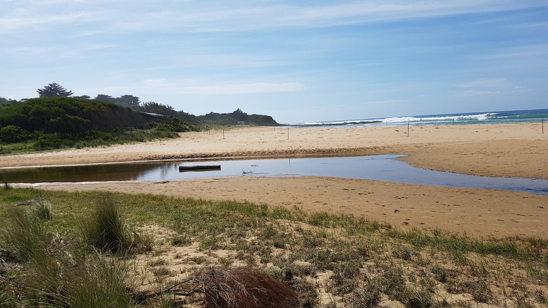
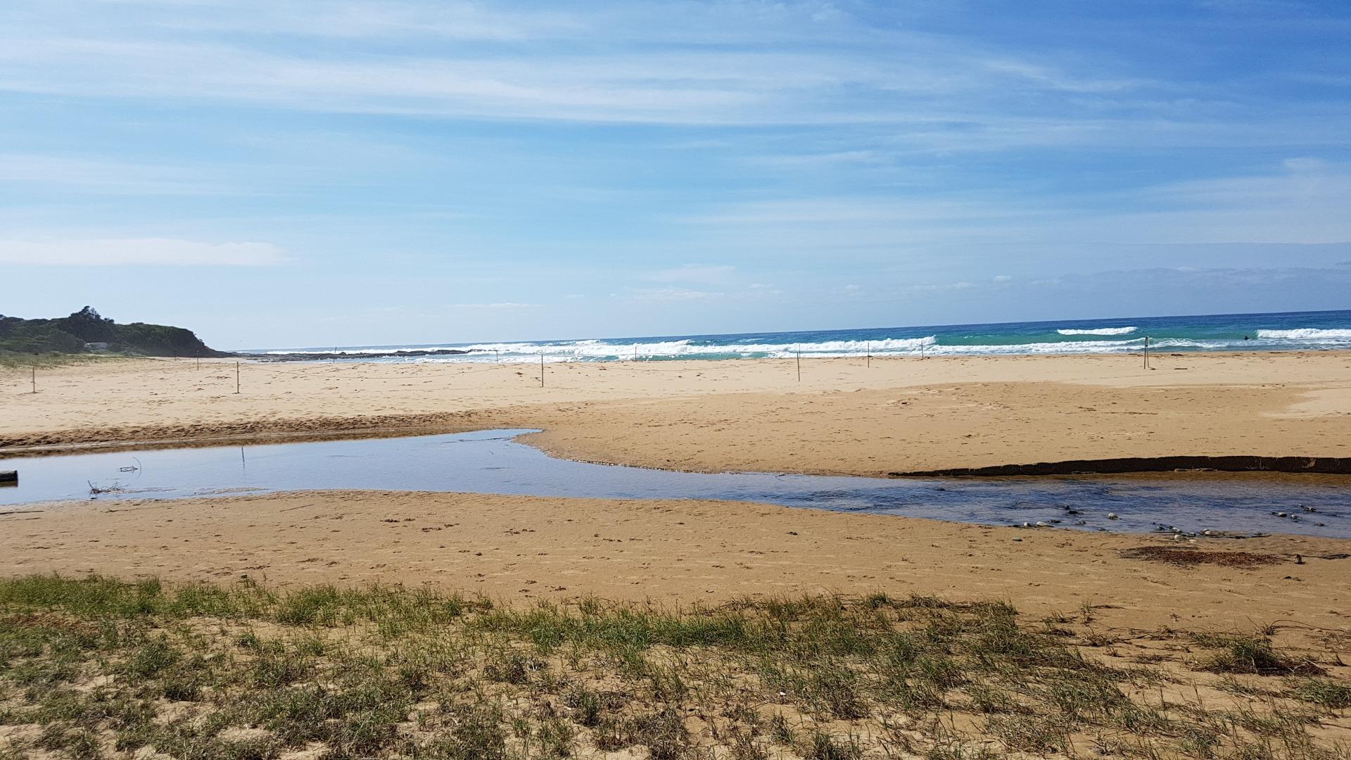
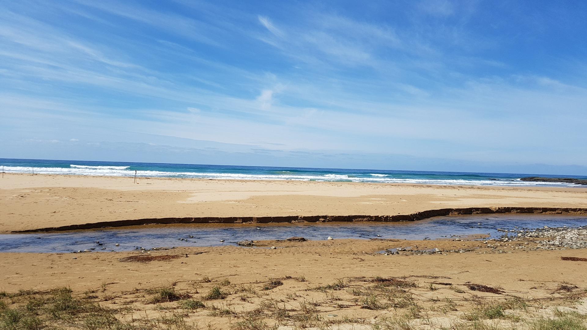

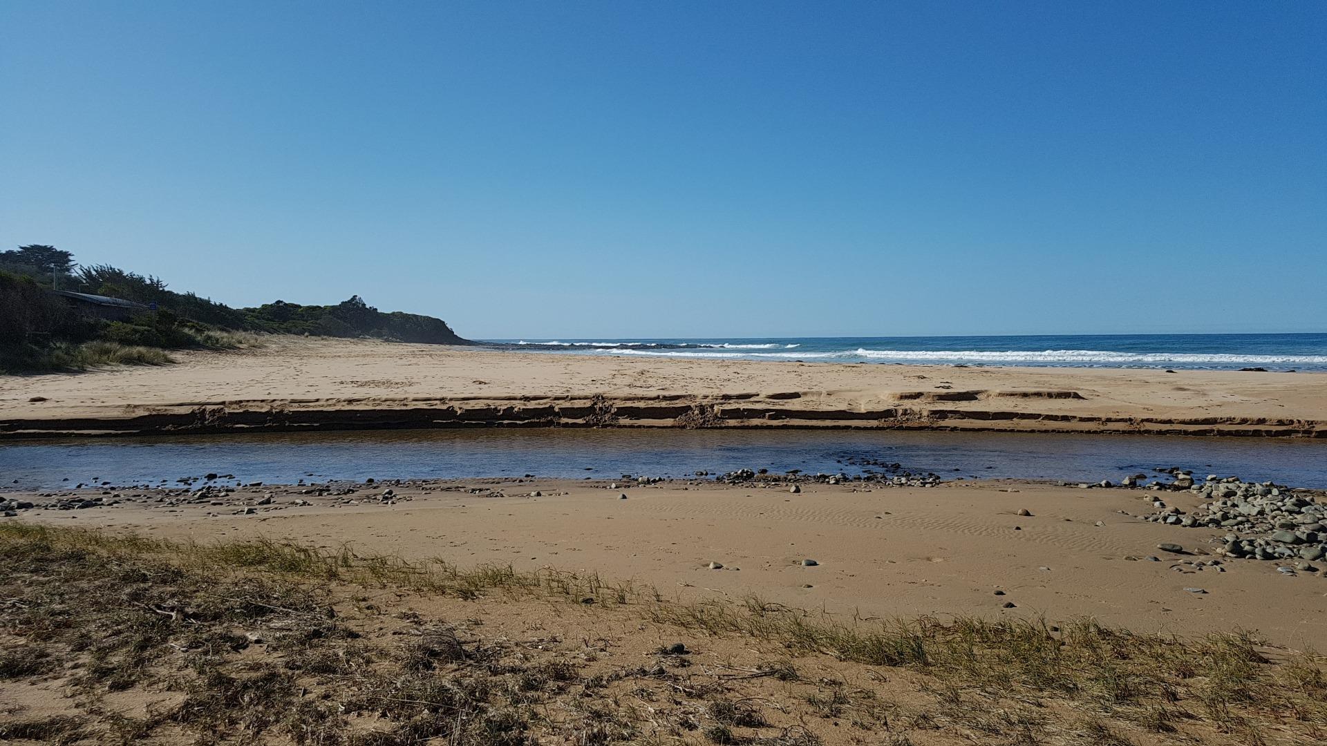
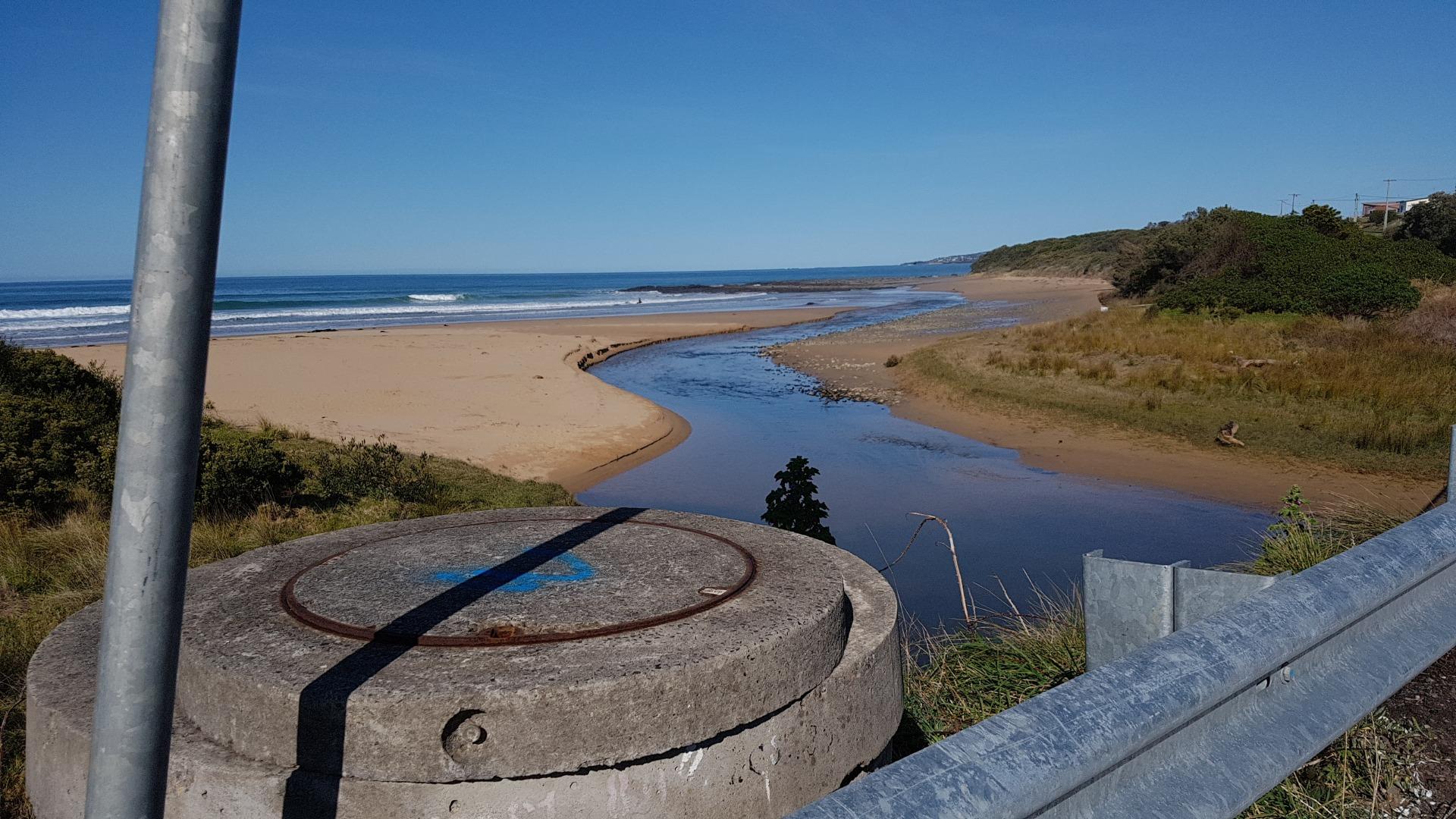
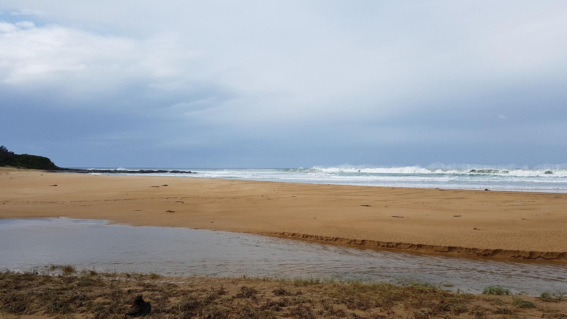

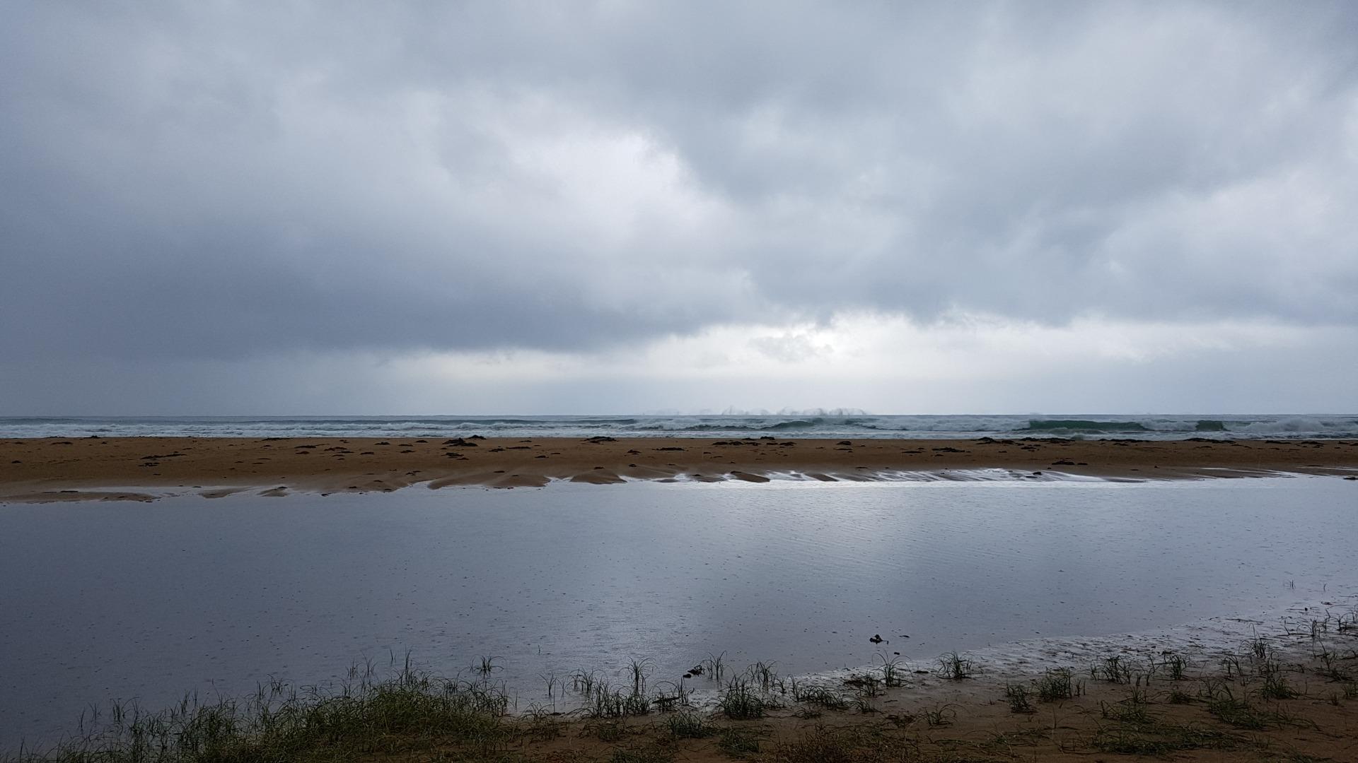
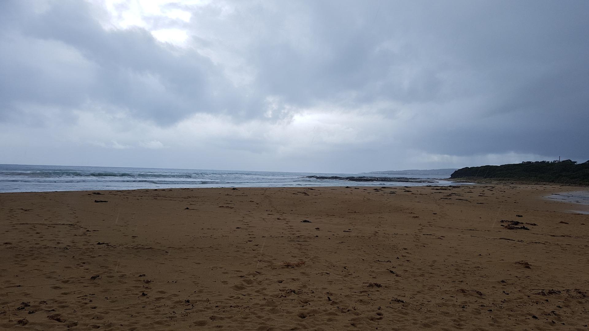
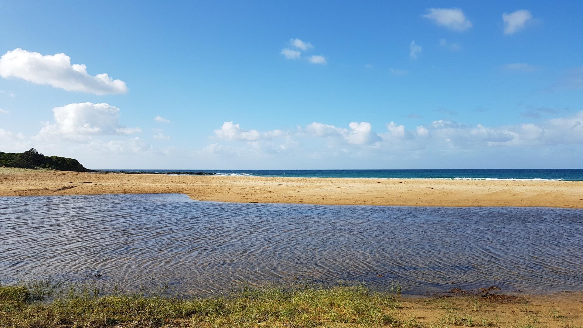
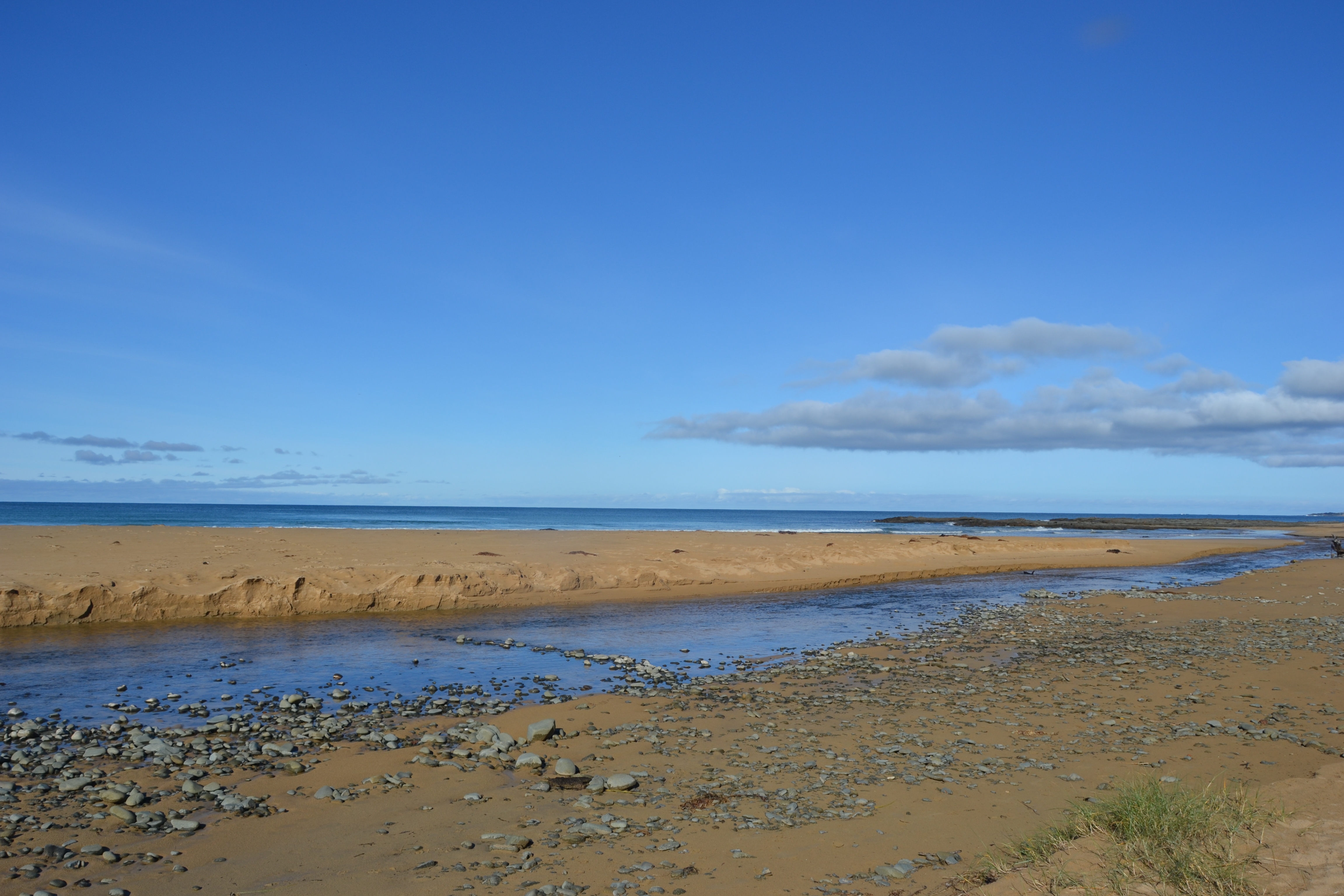

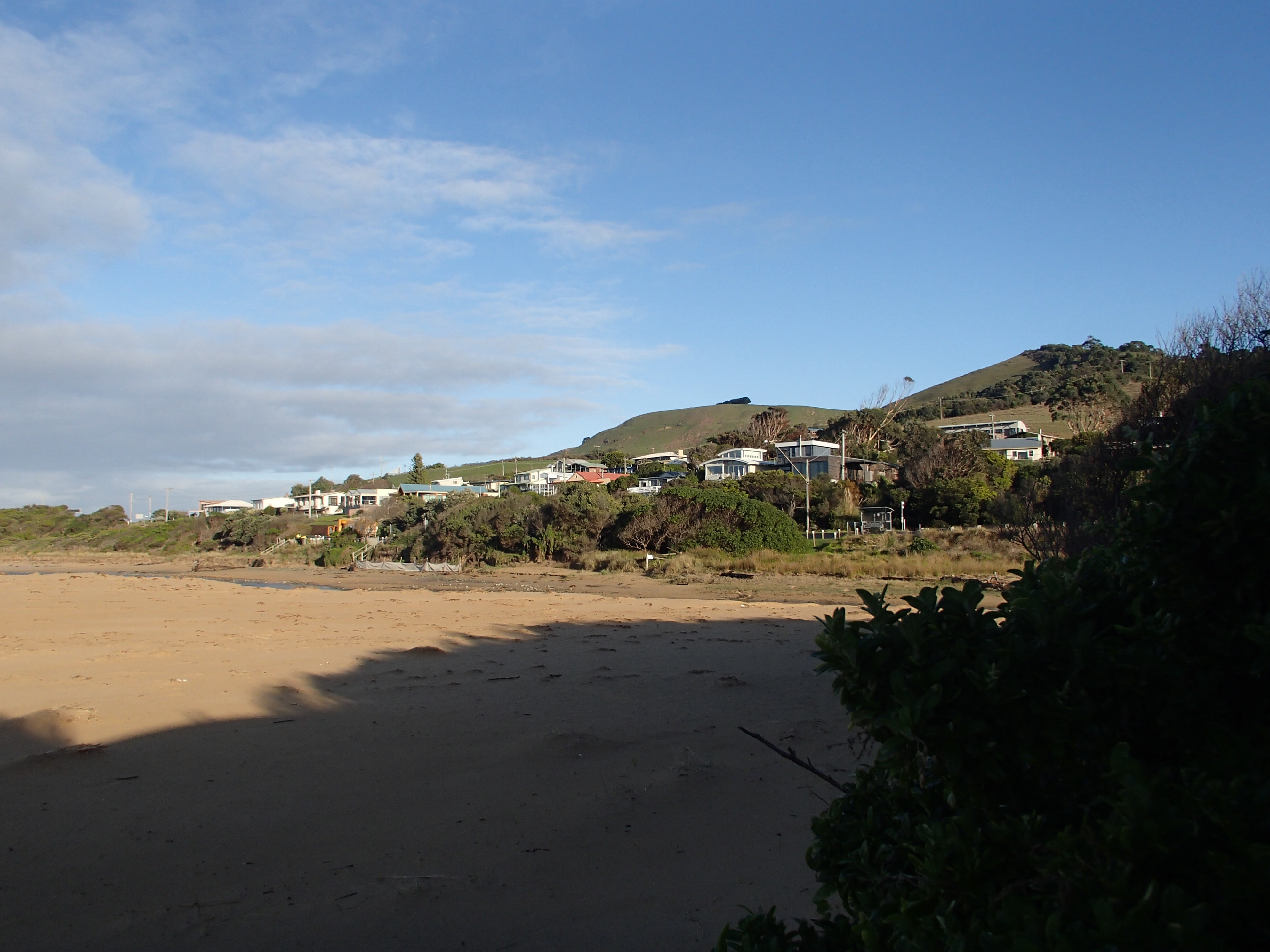
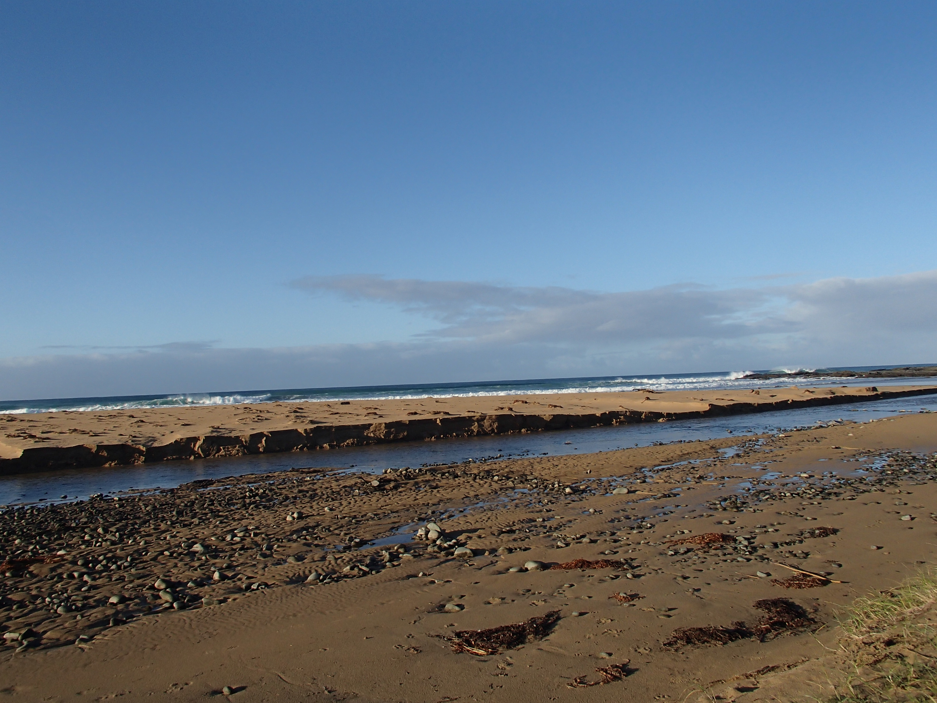
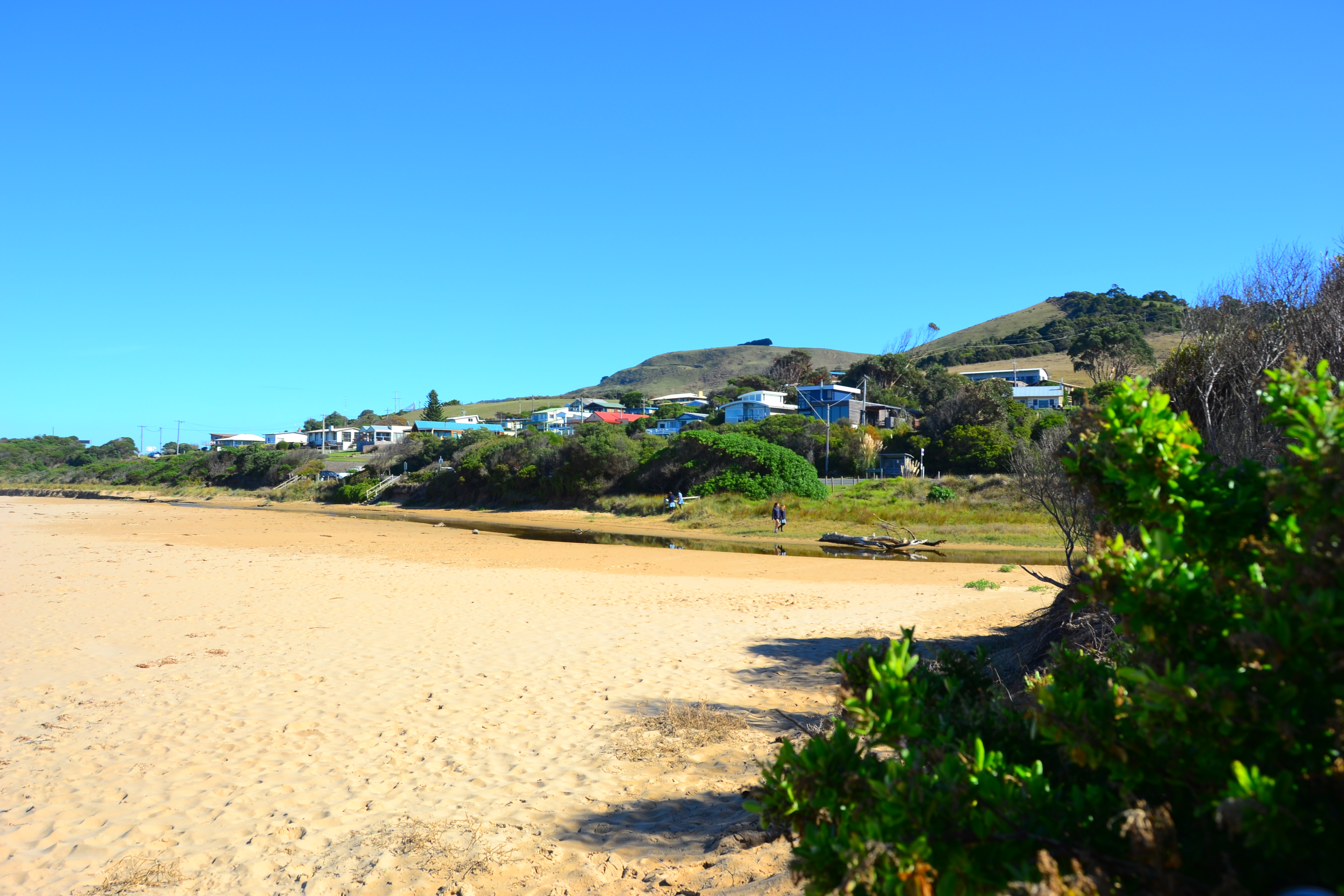

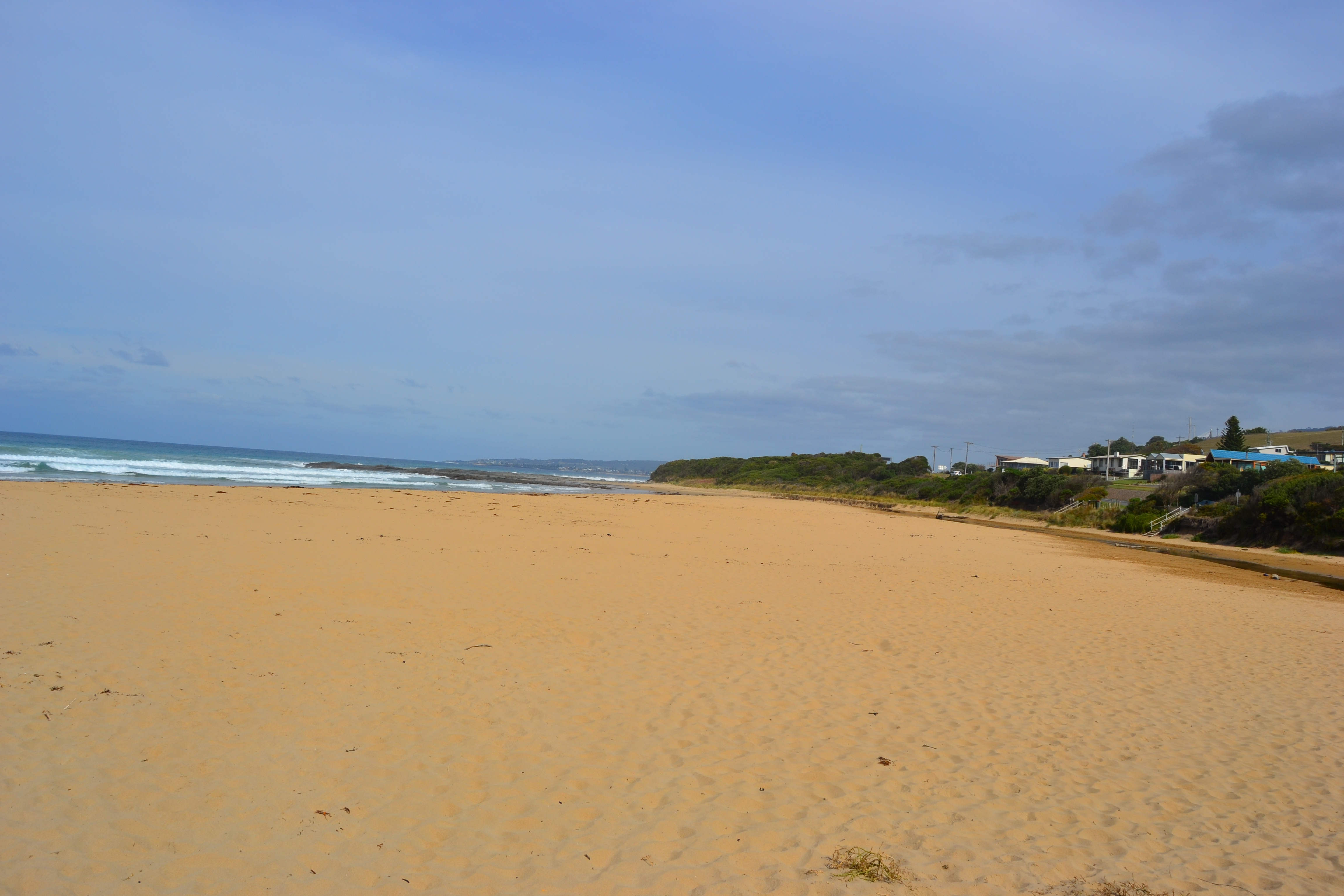

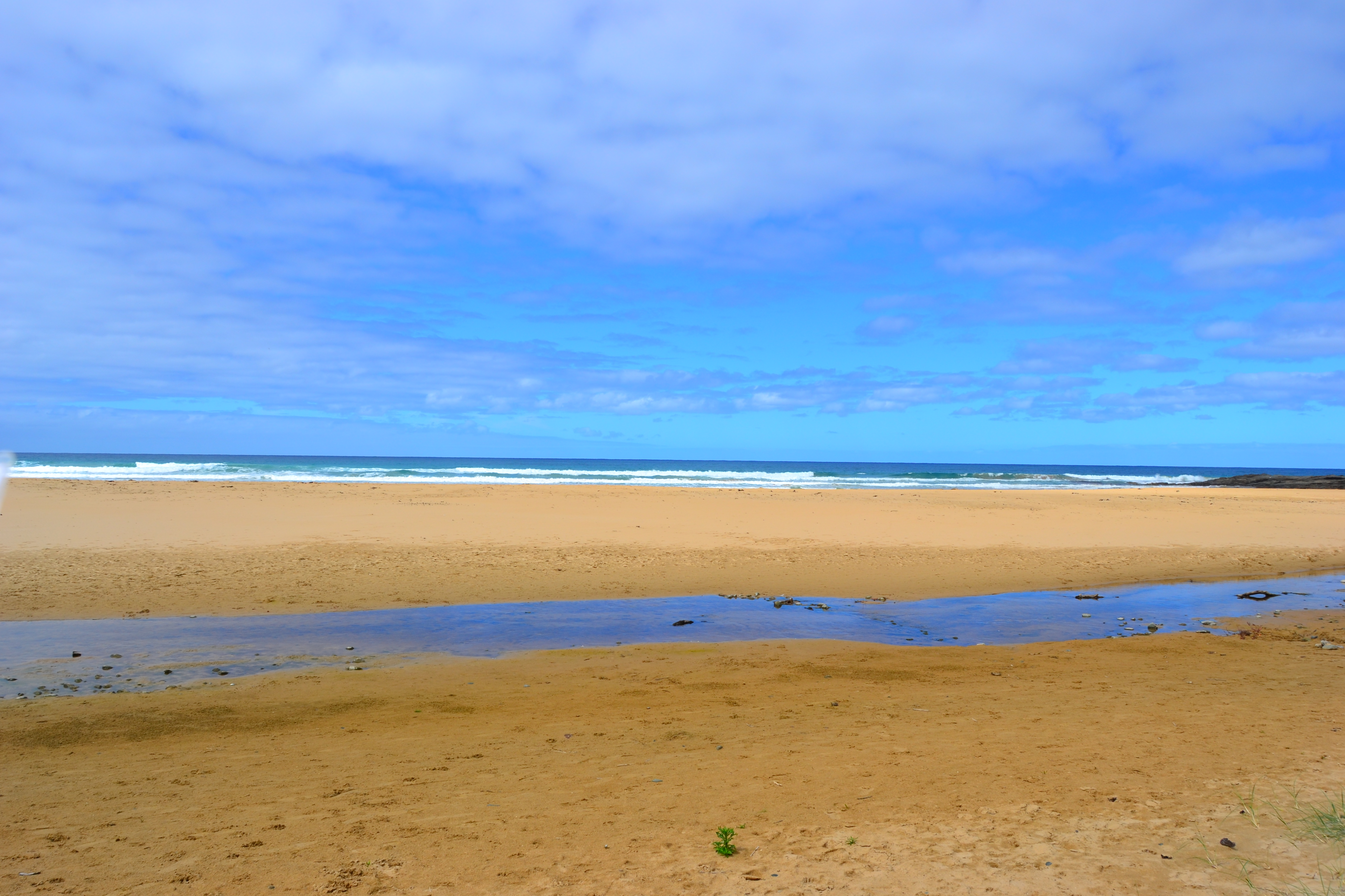

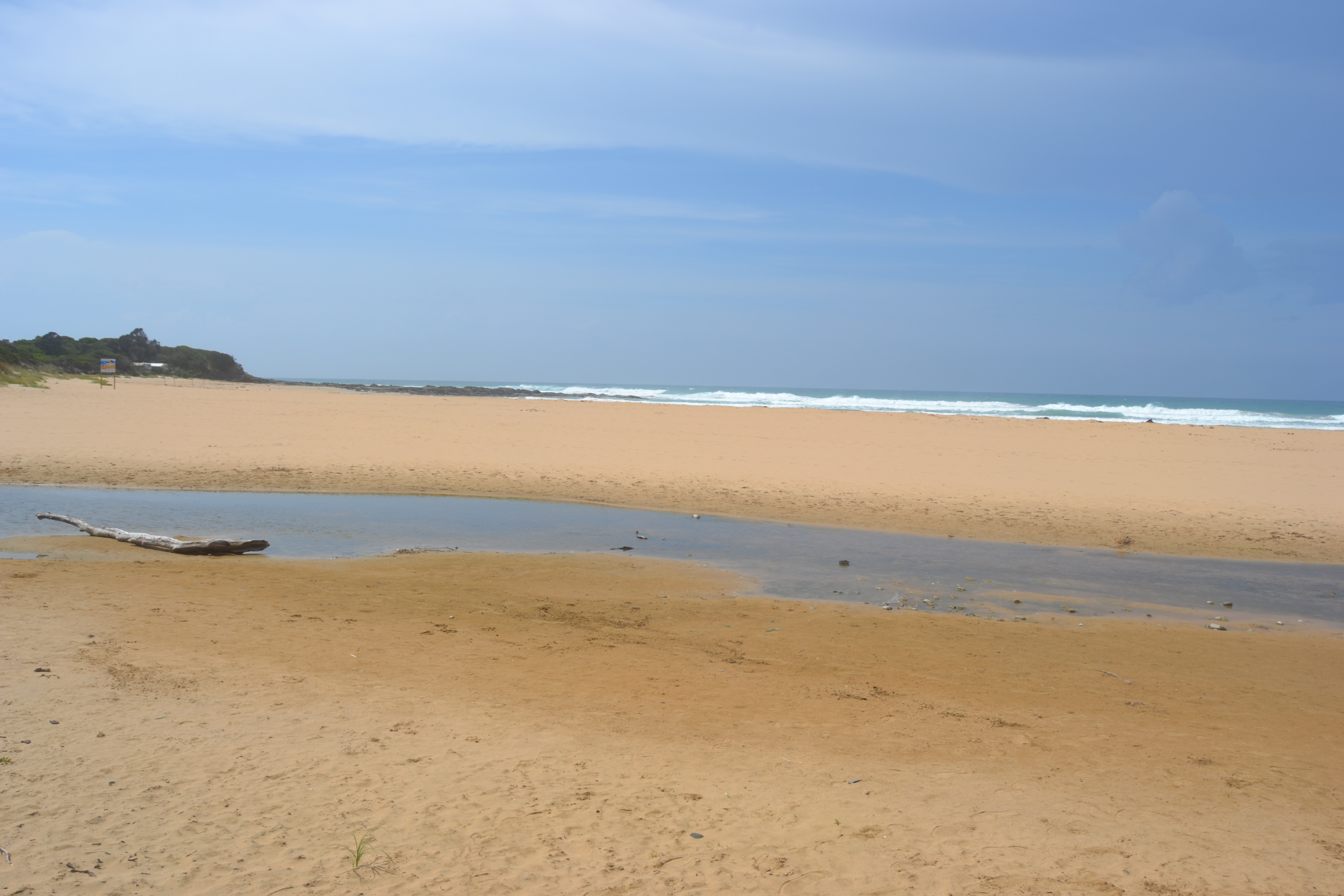

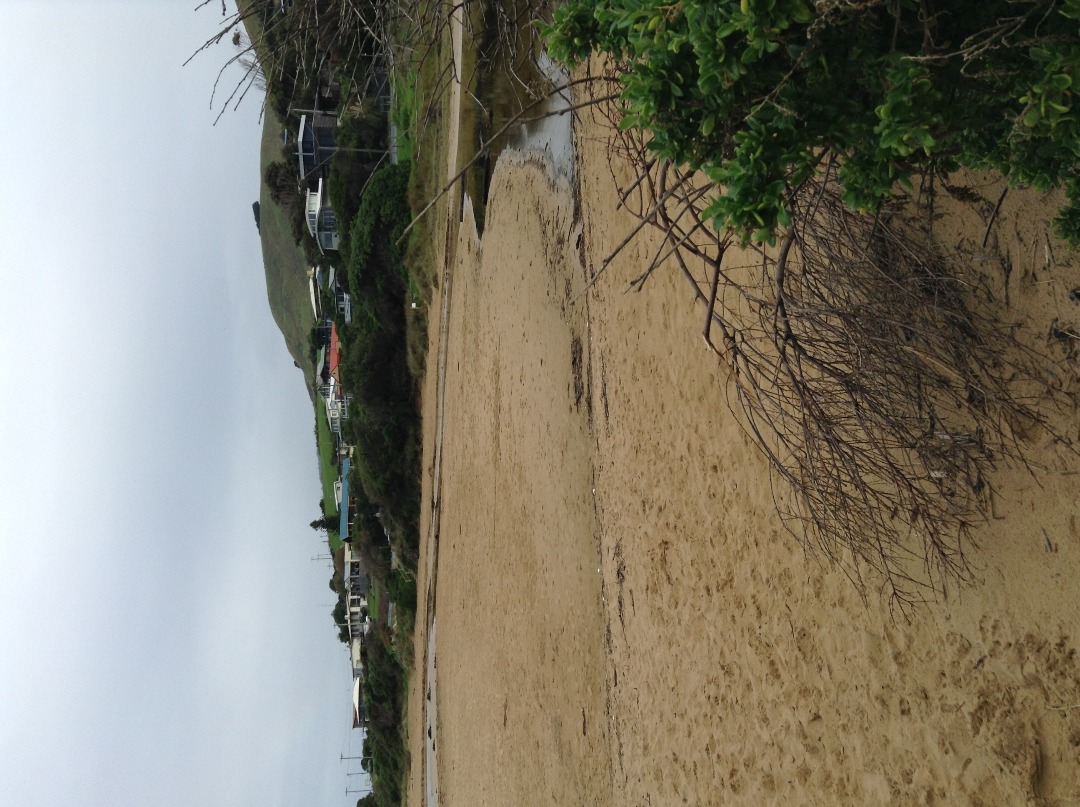
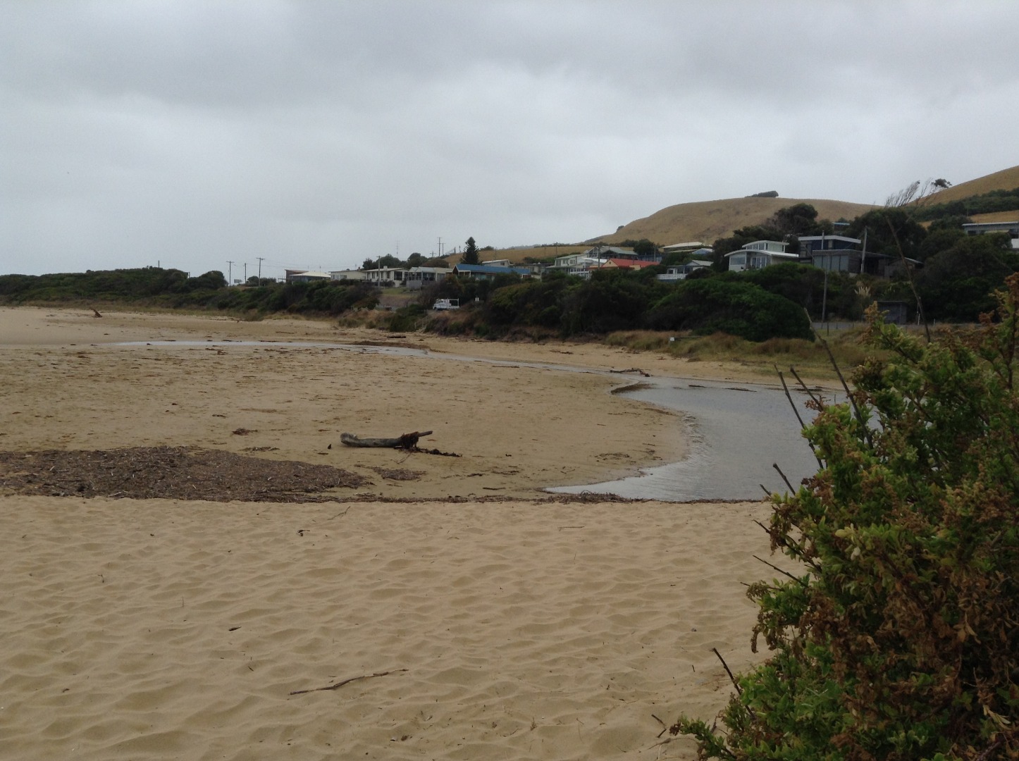
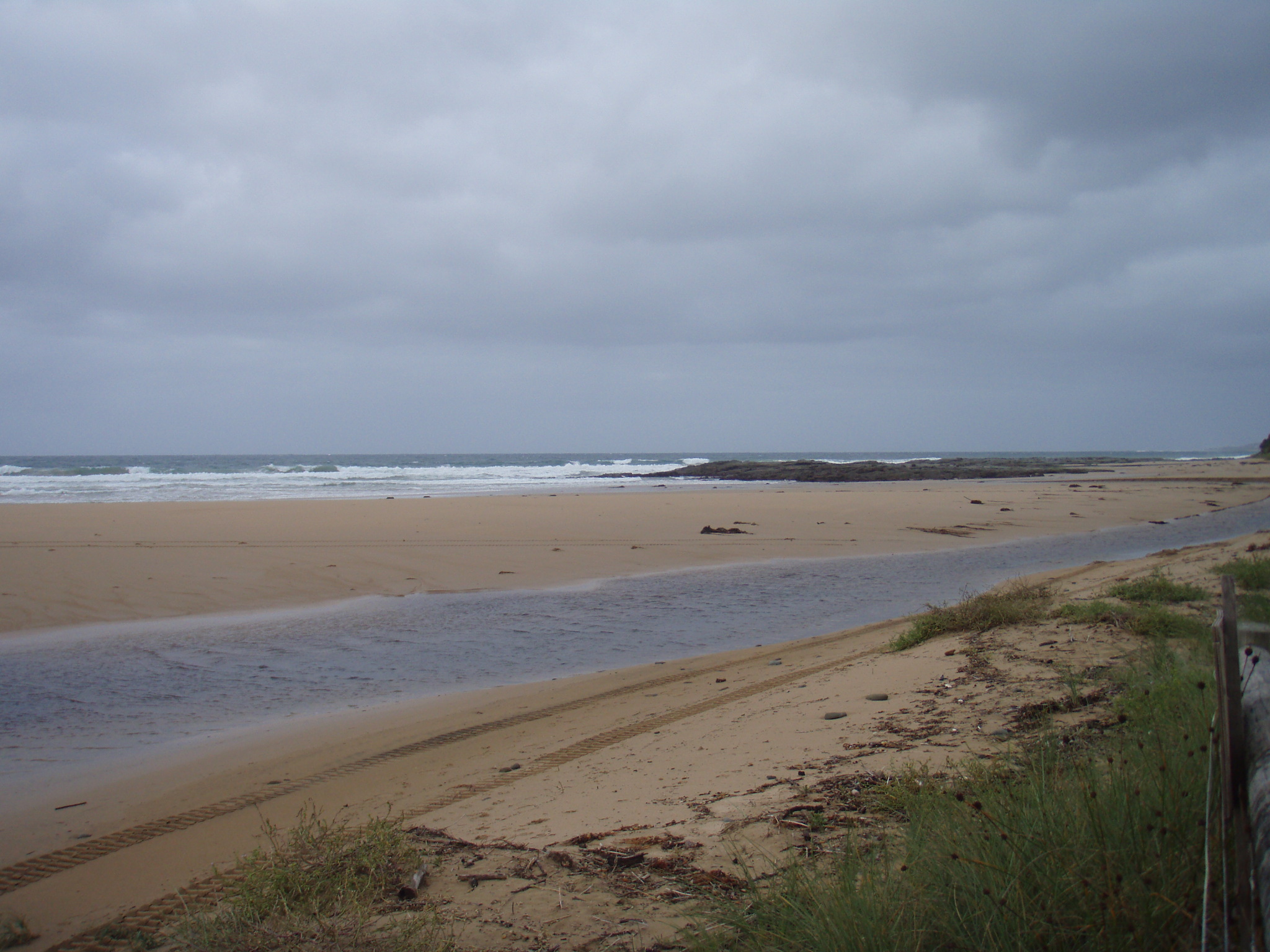
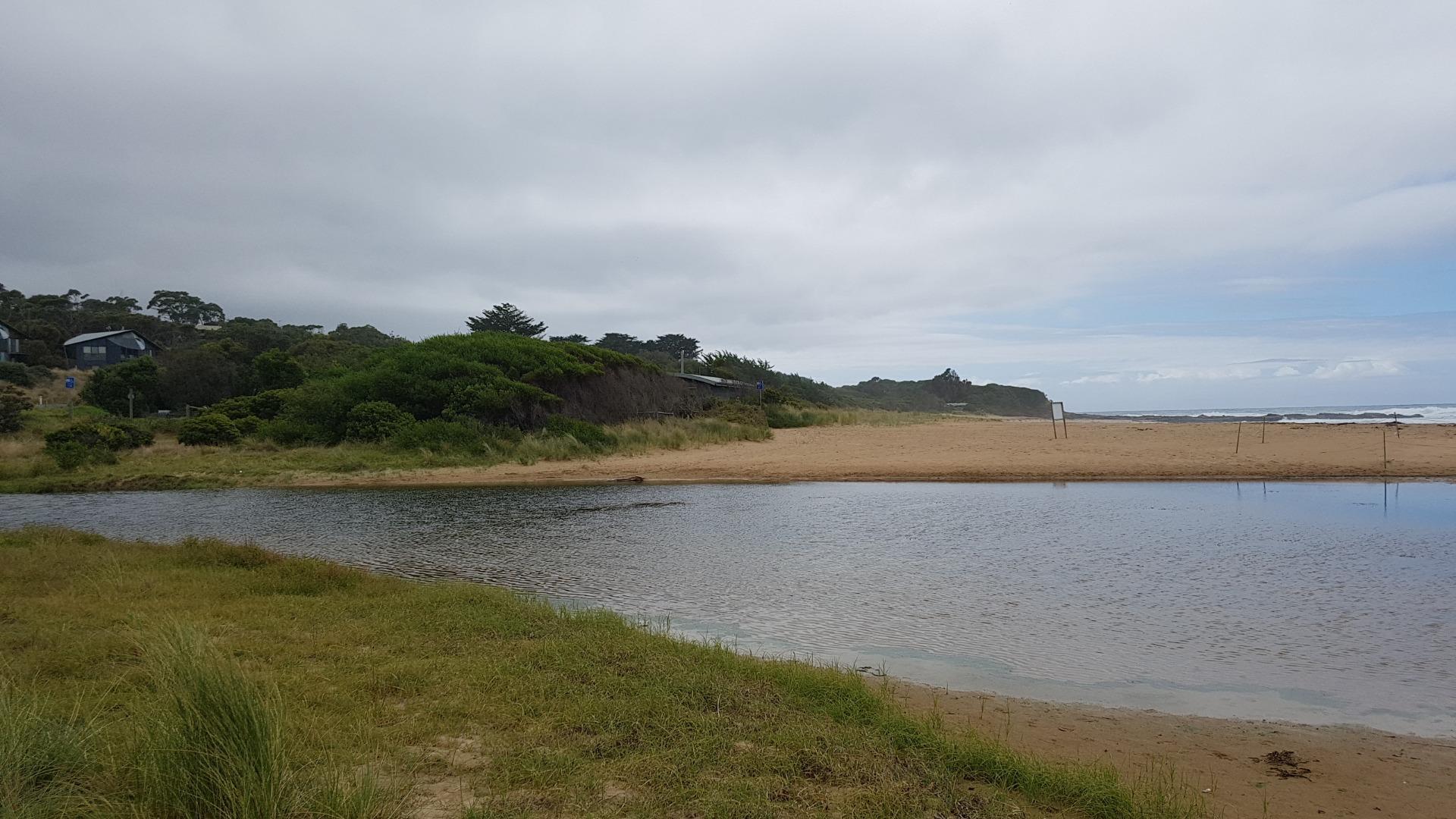
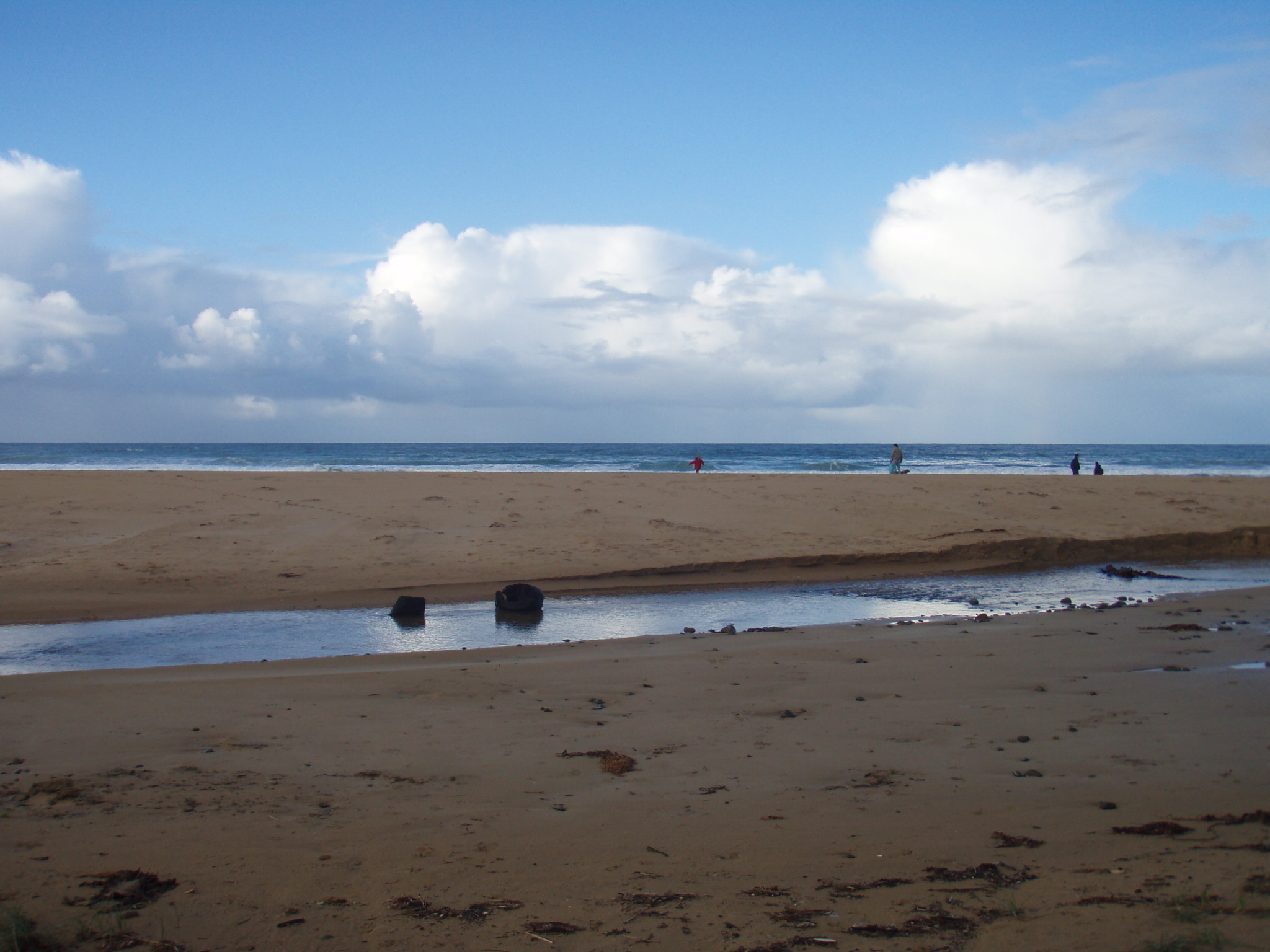
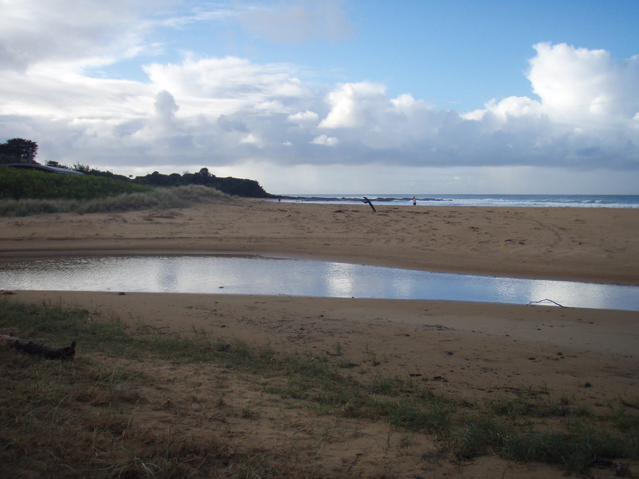
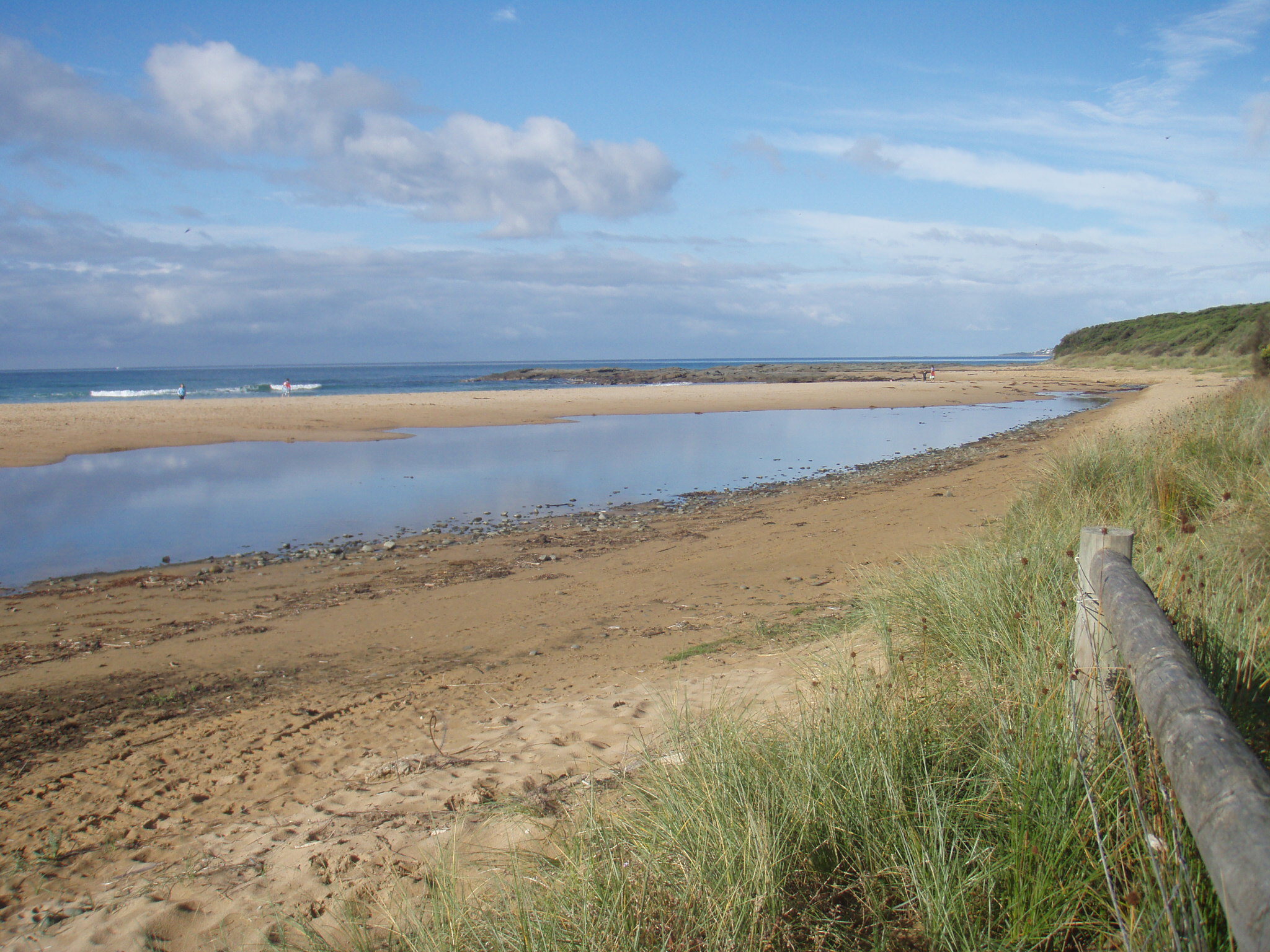
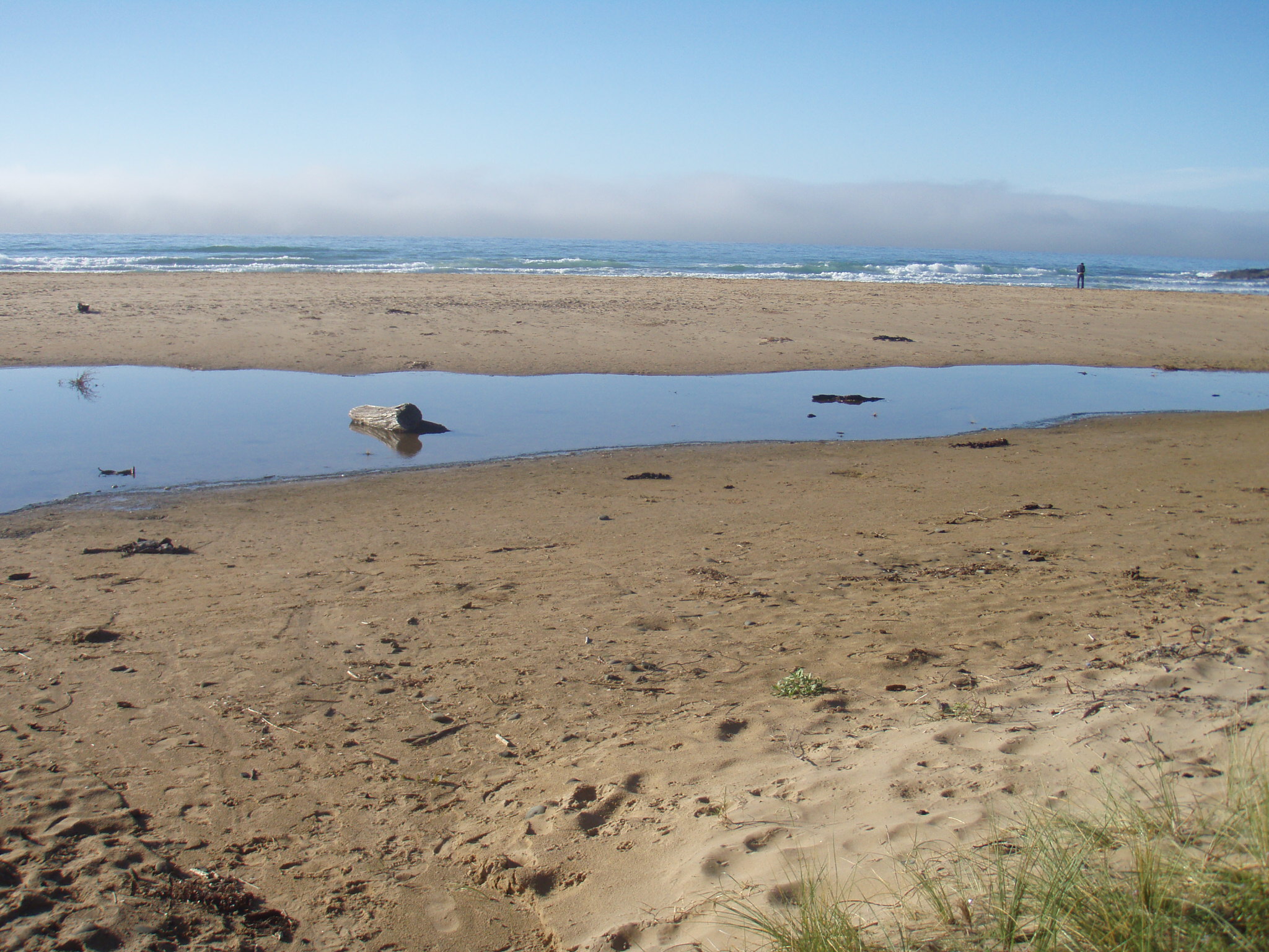
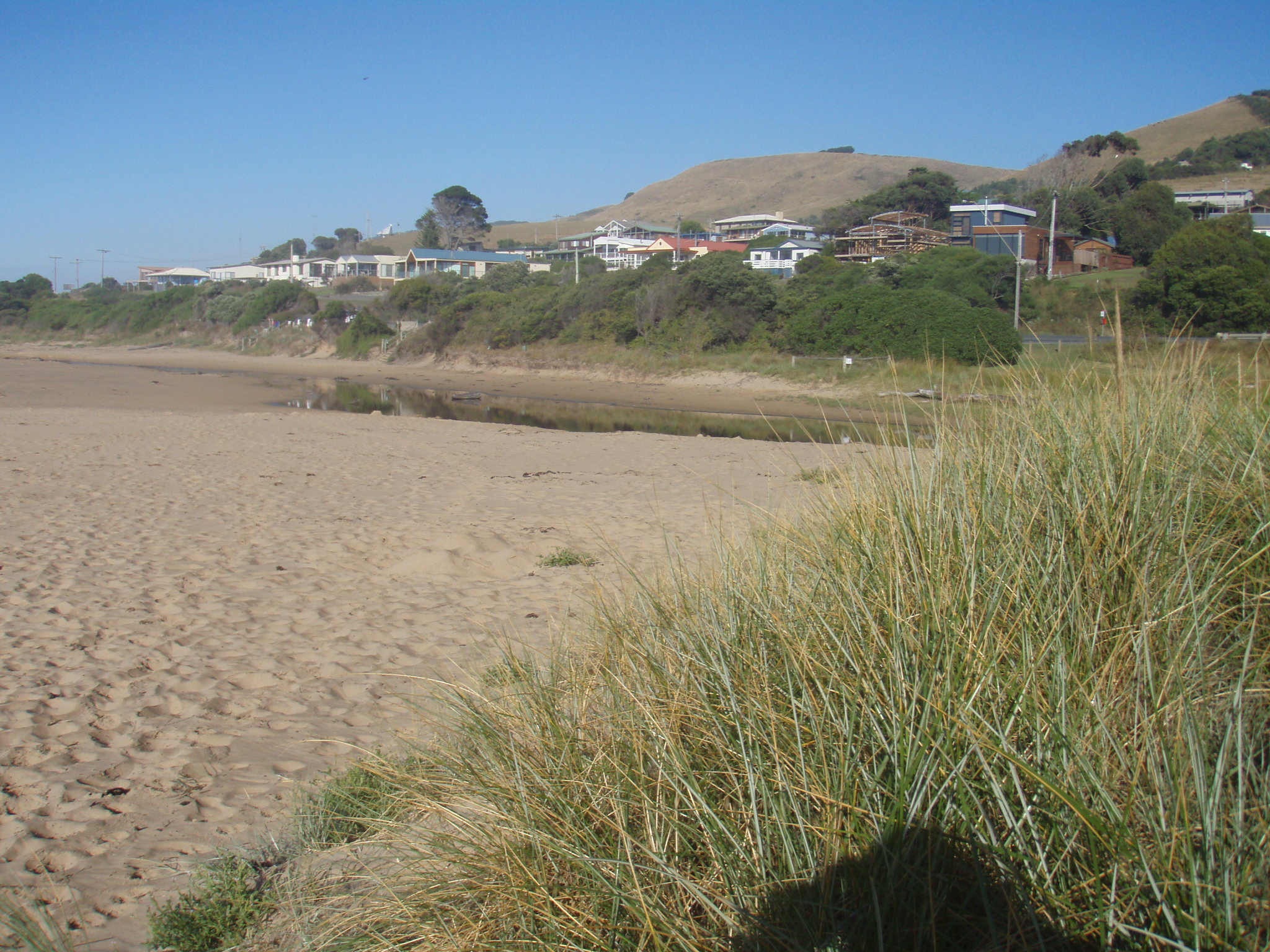
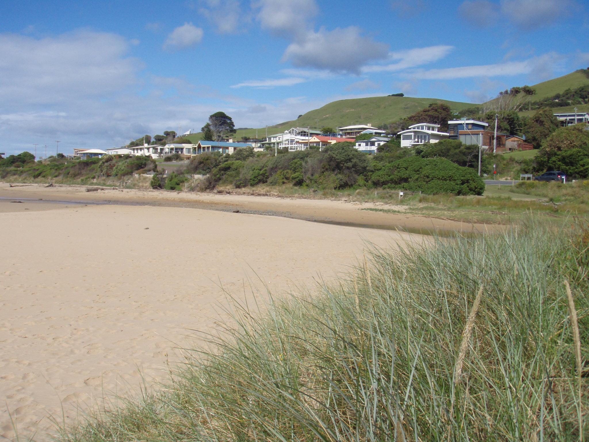
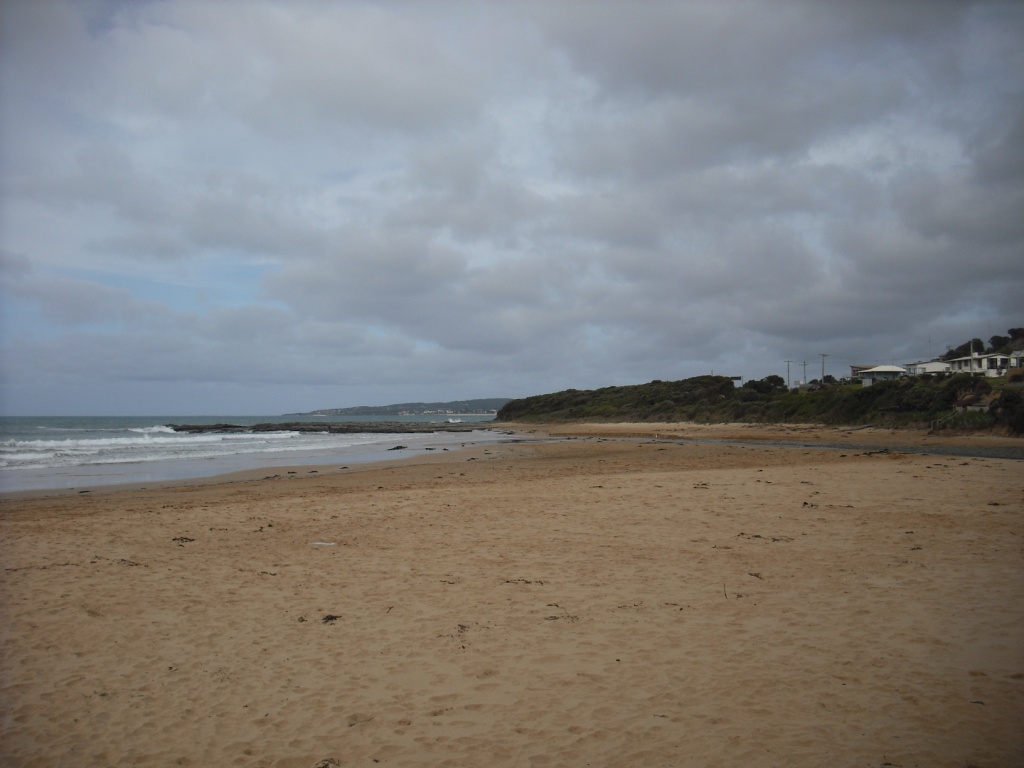
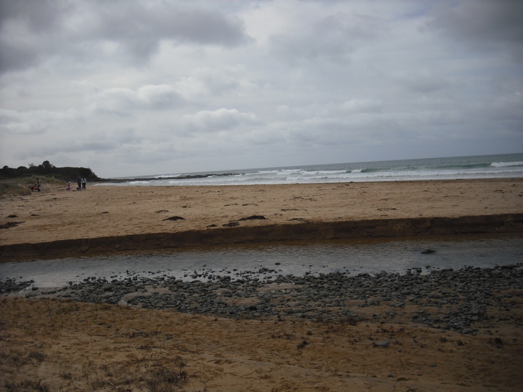
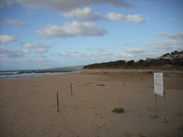
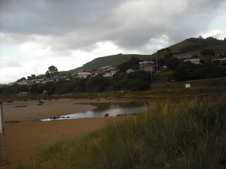
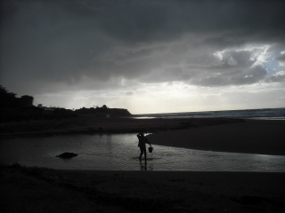
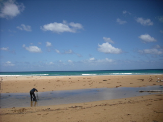
![skp1[1]](https://www.estuarywatch.org.au/documents/ccma_document_6540.jpg)
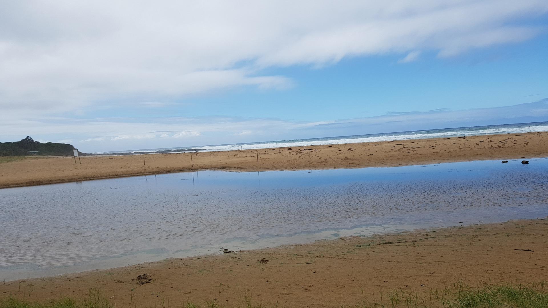
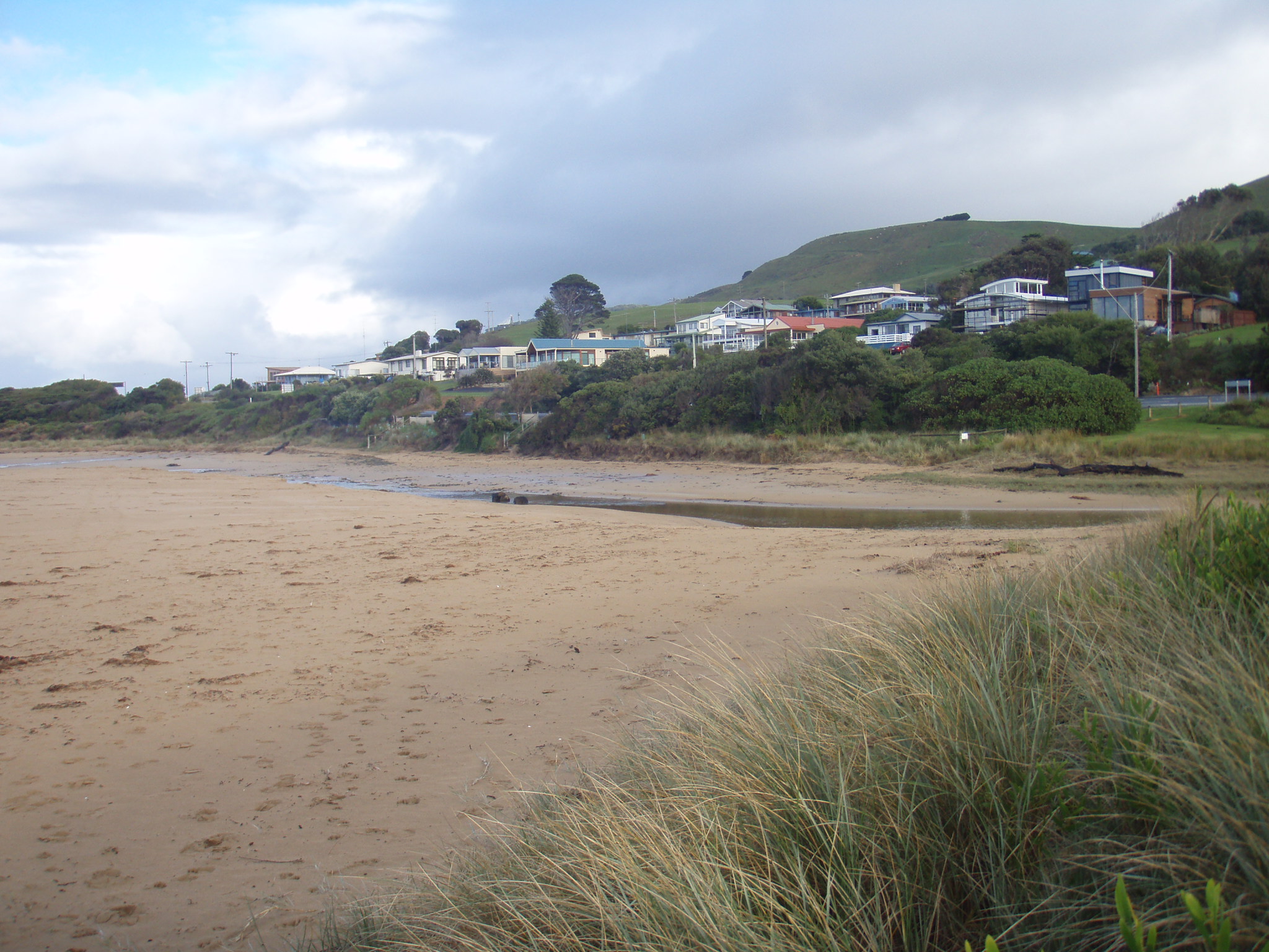
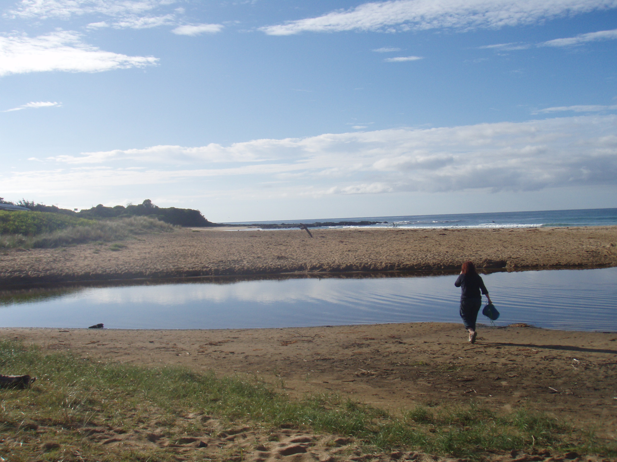
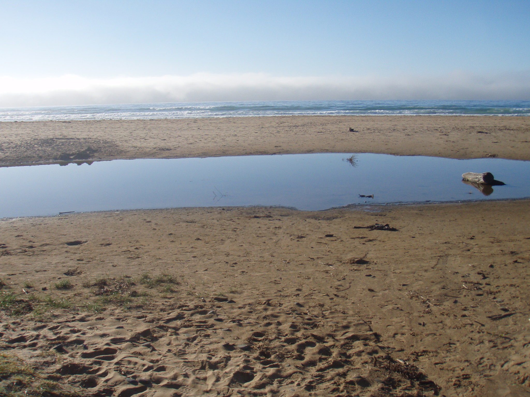
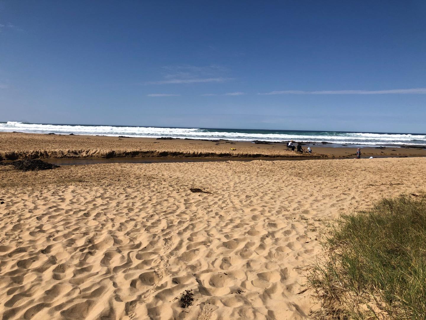
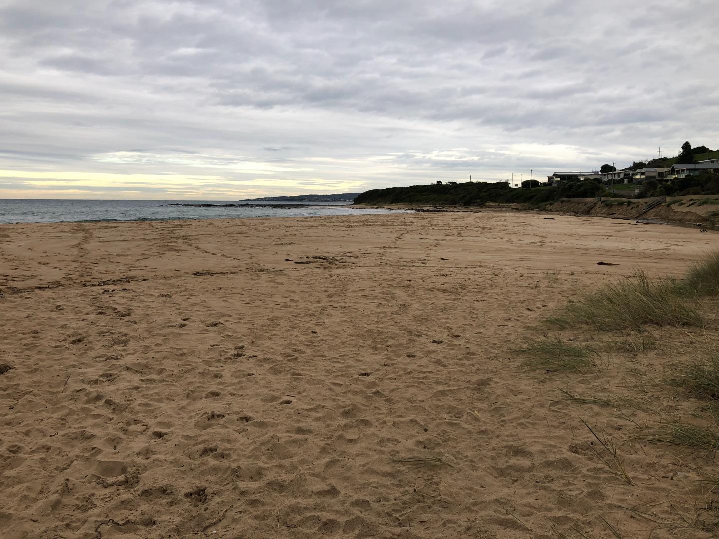
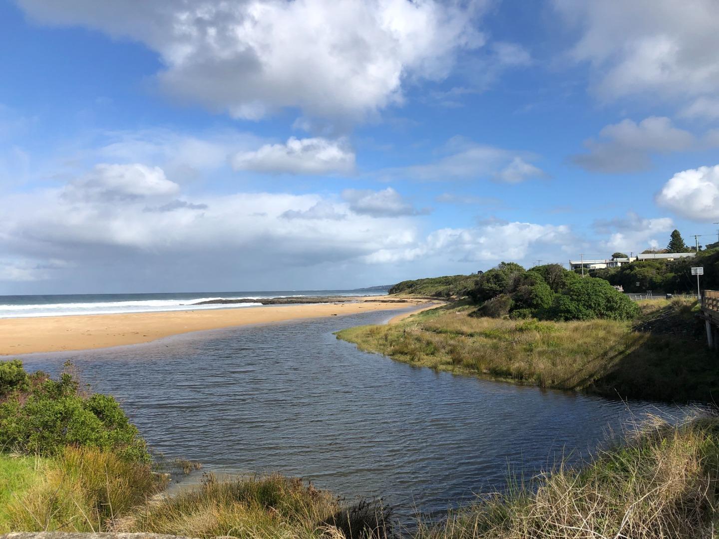
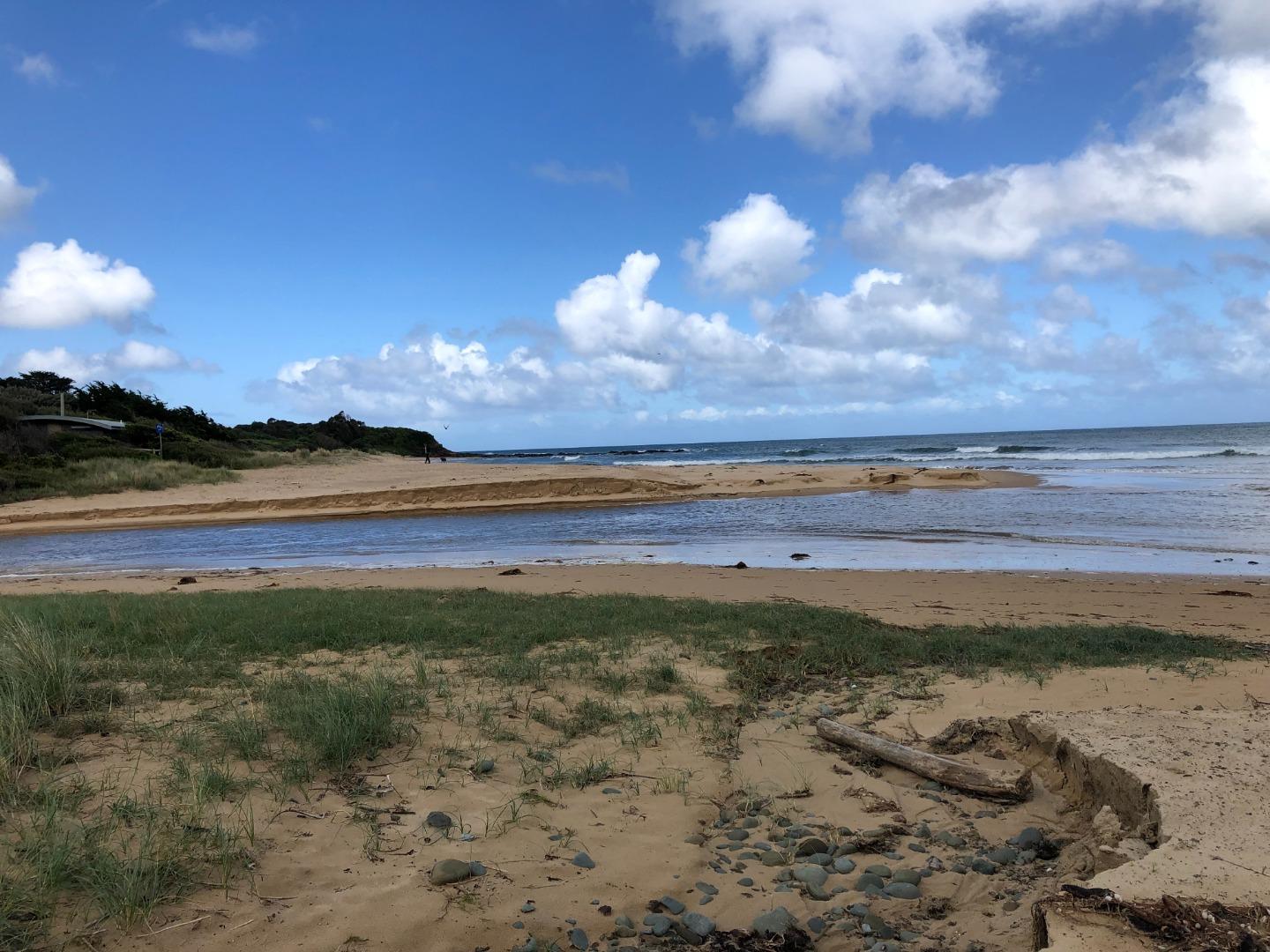
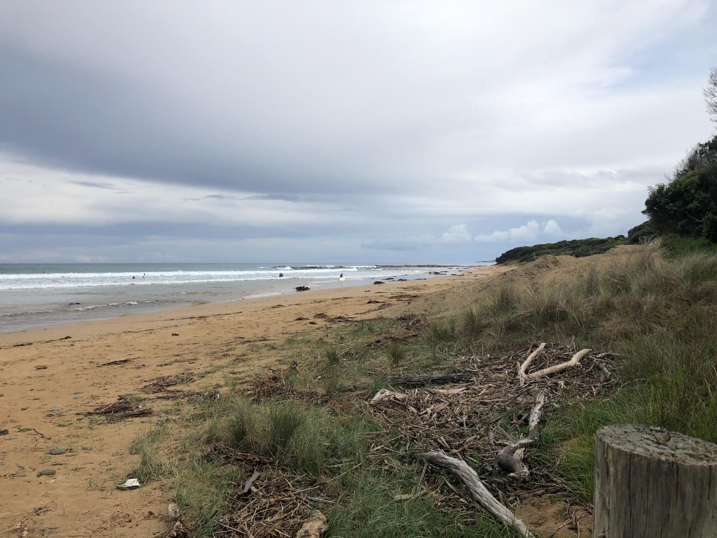
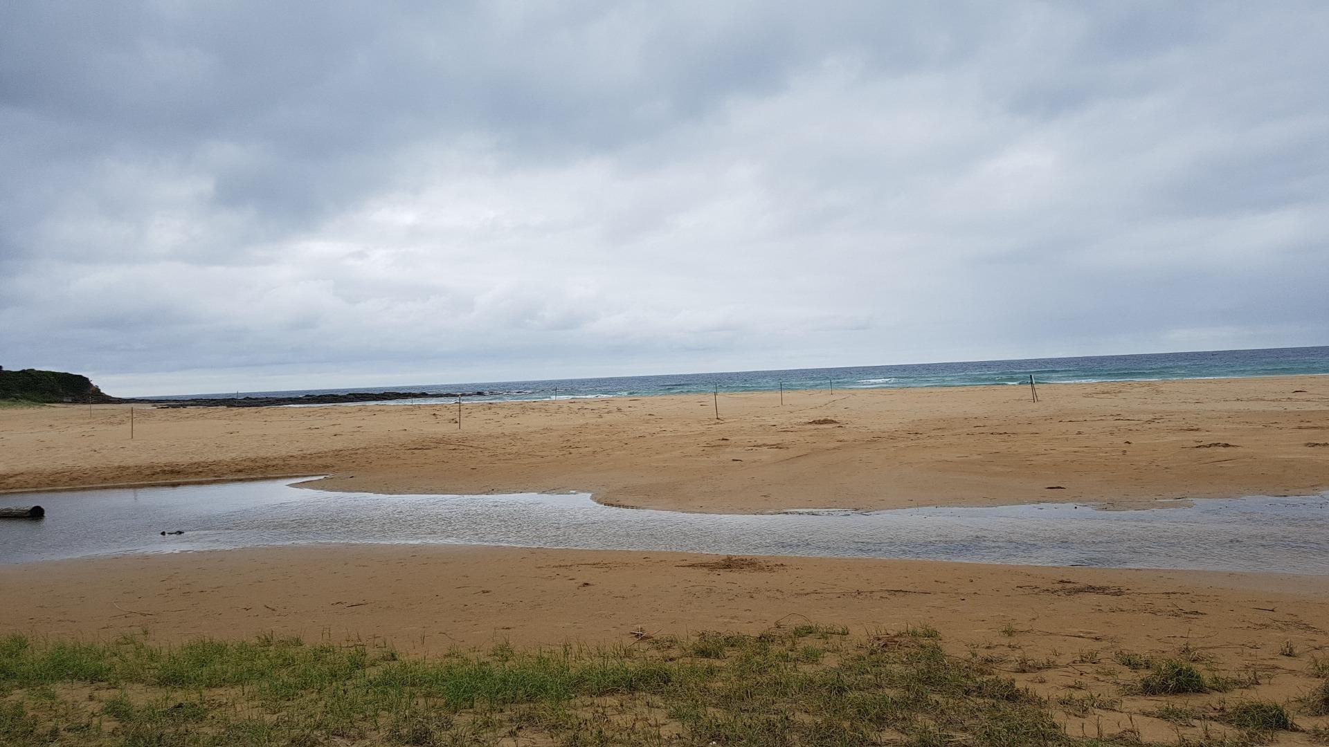
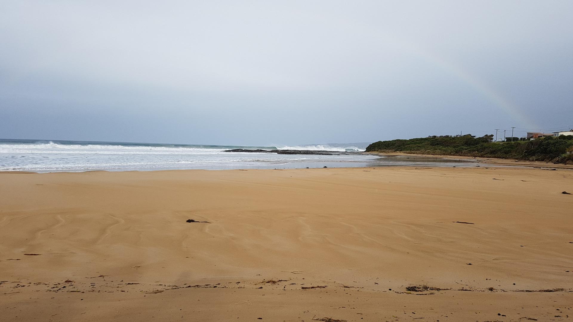
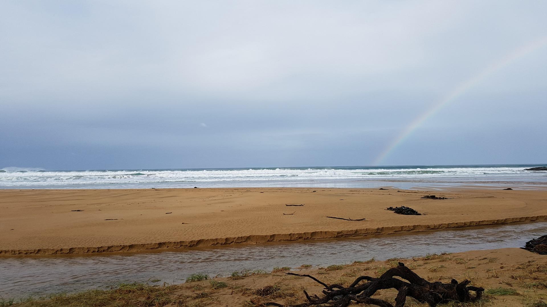
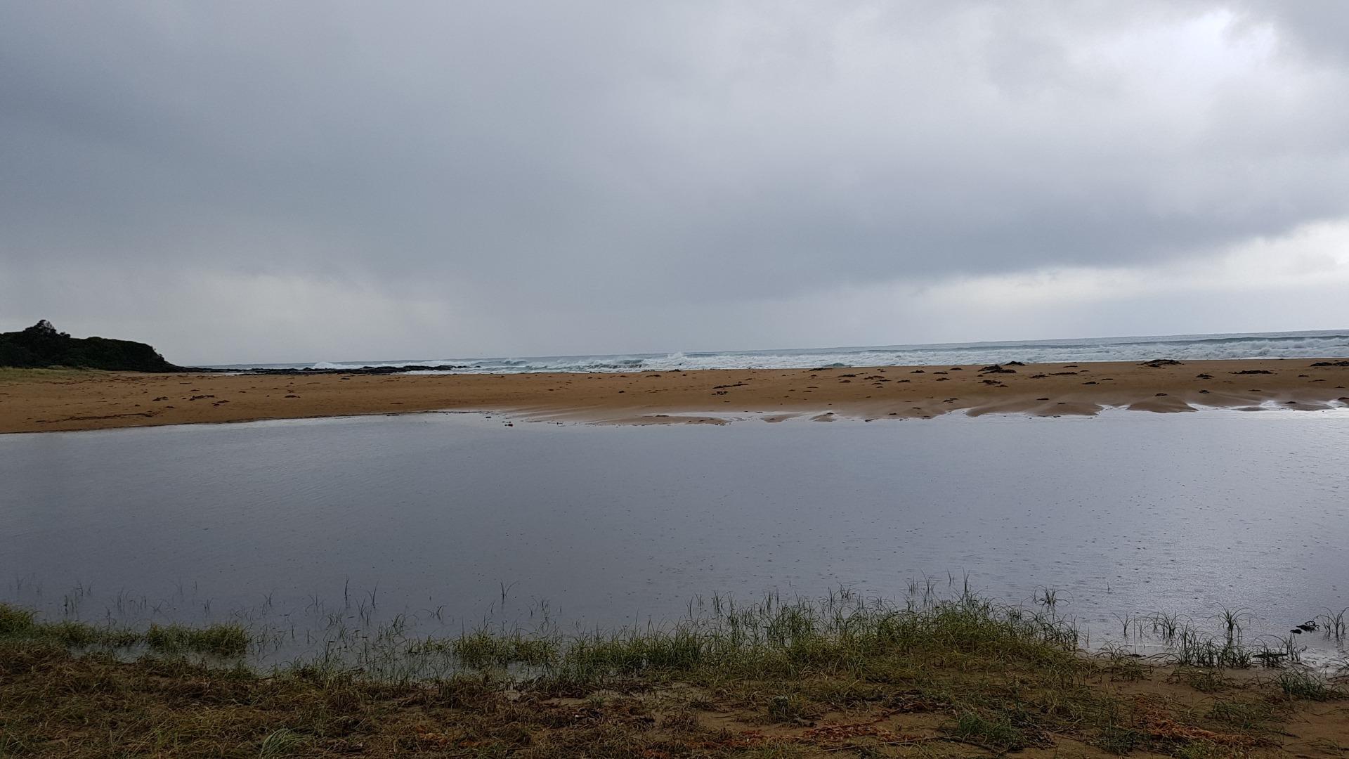
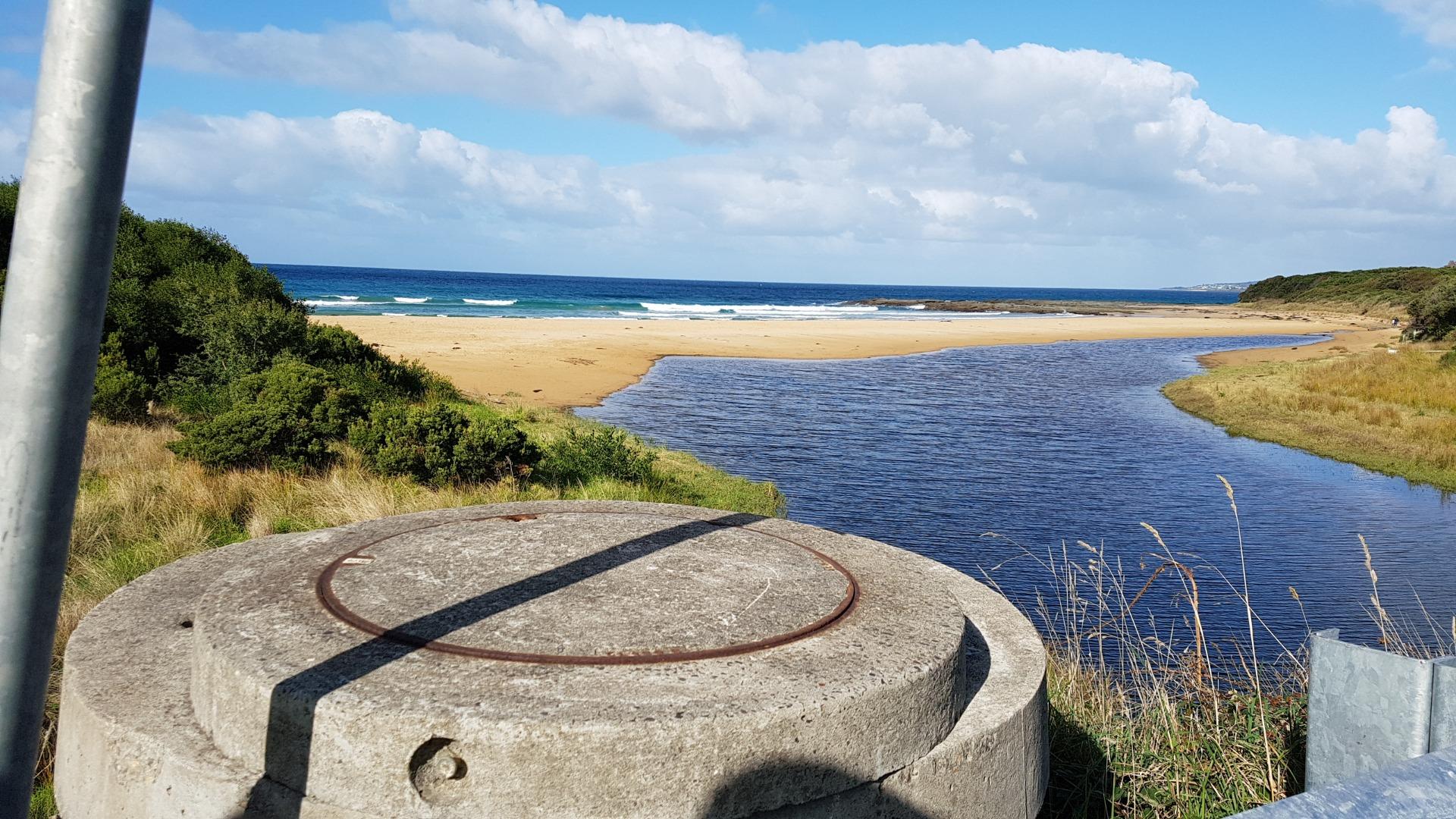
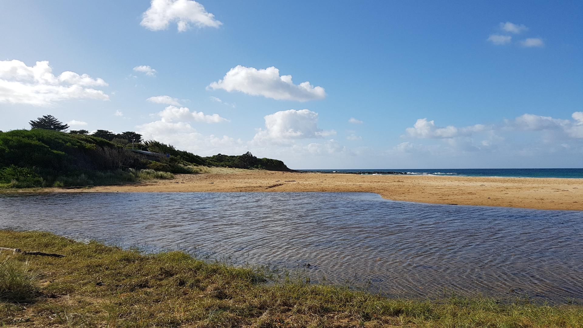
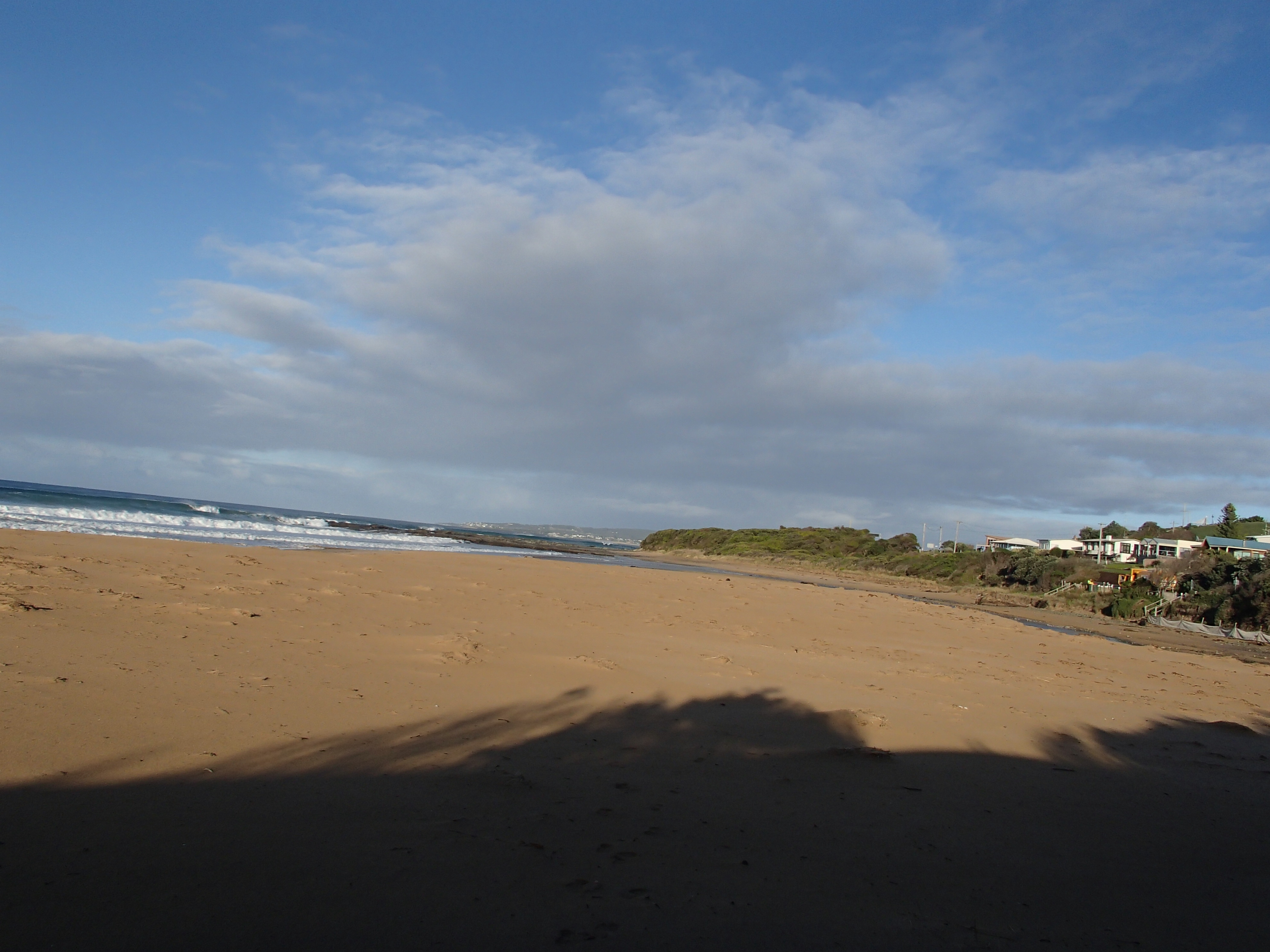
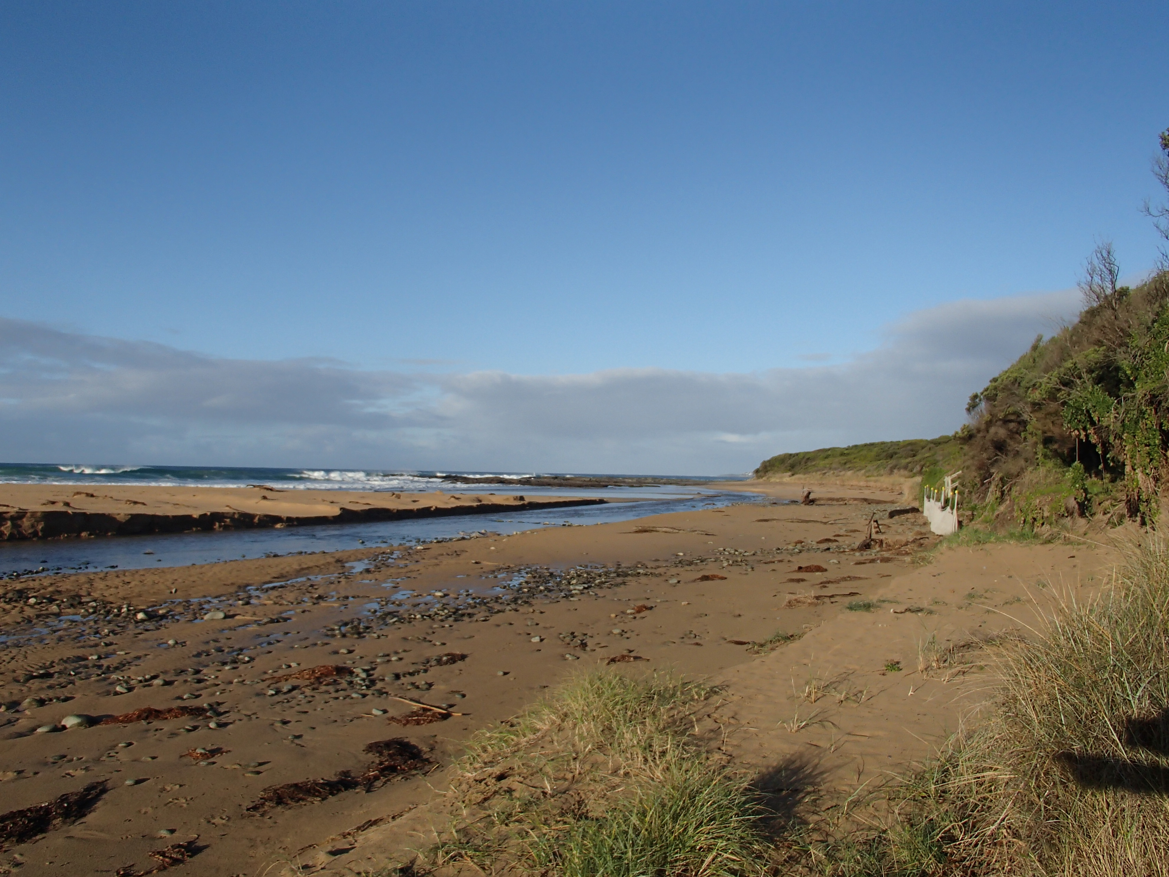
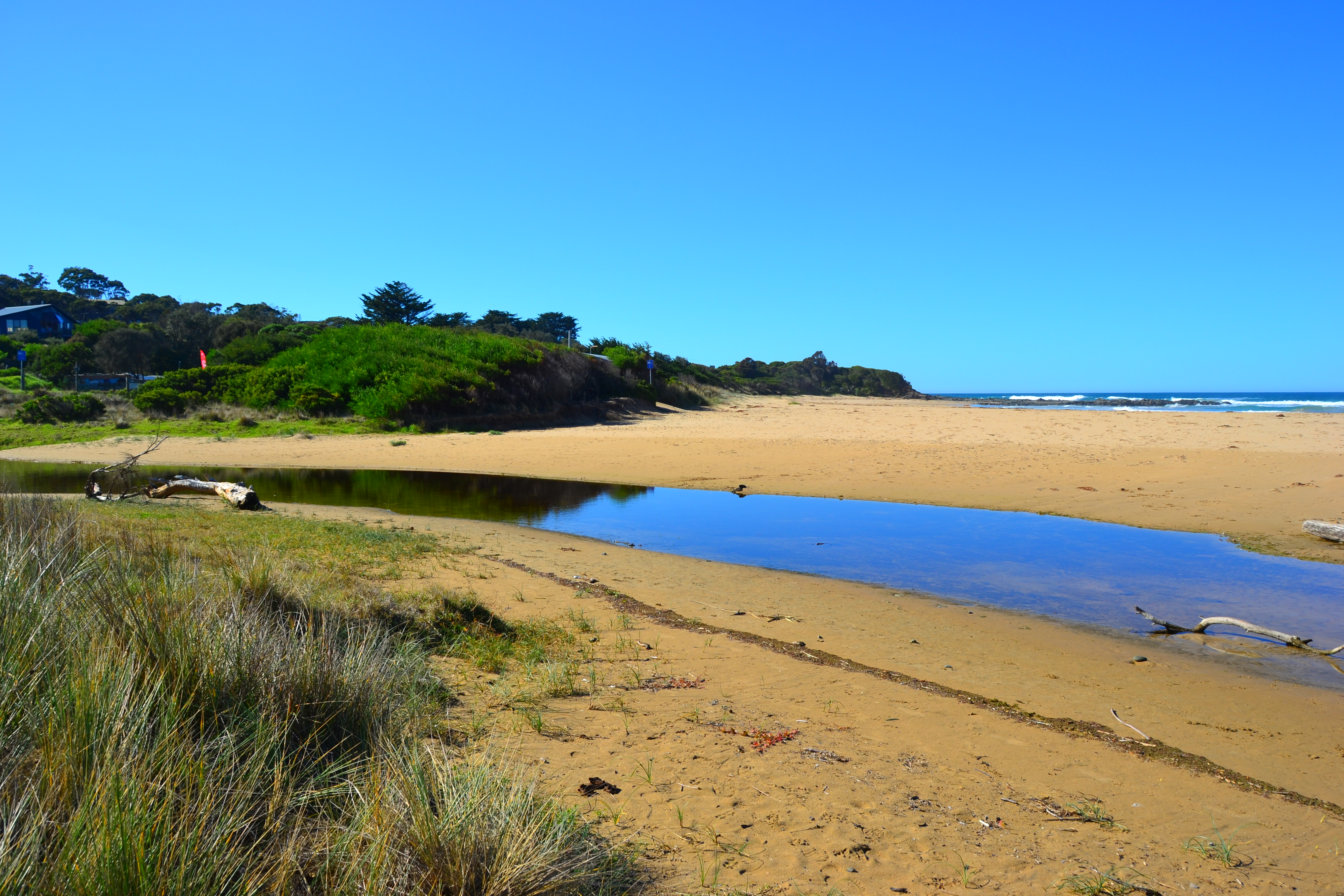
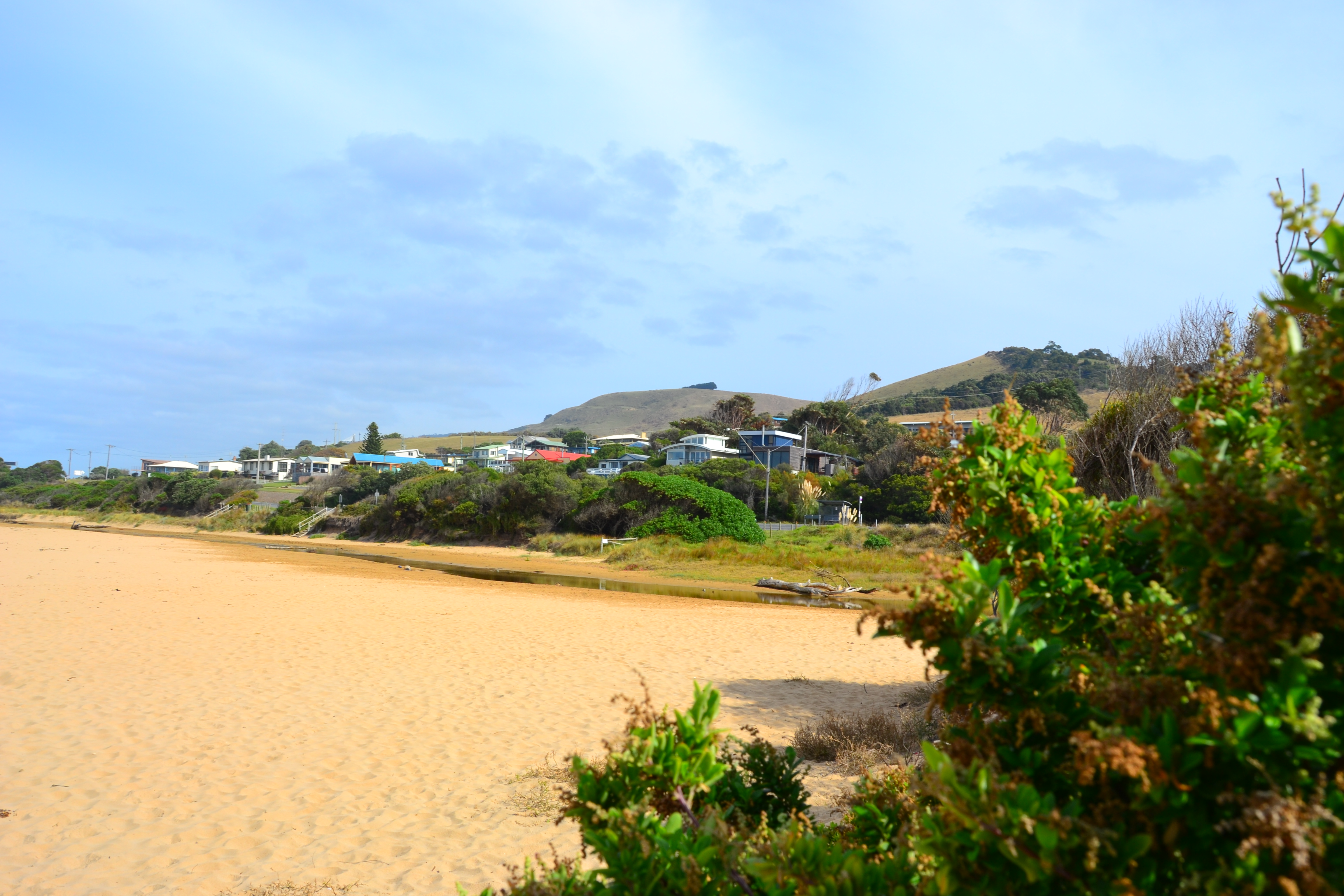
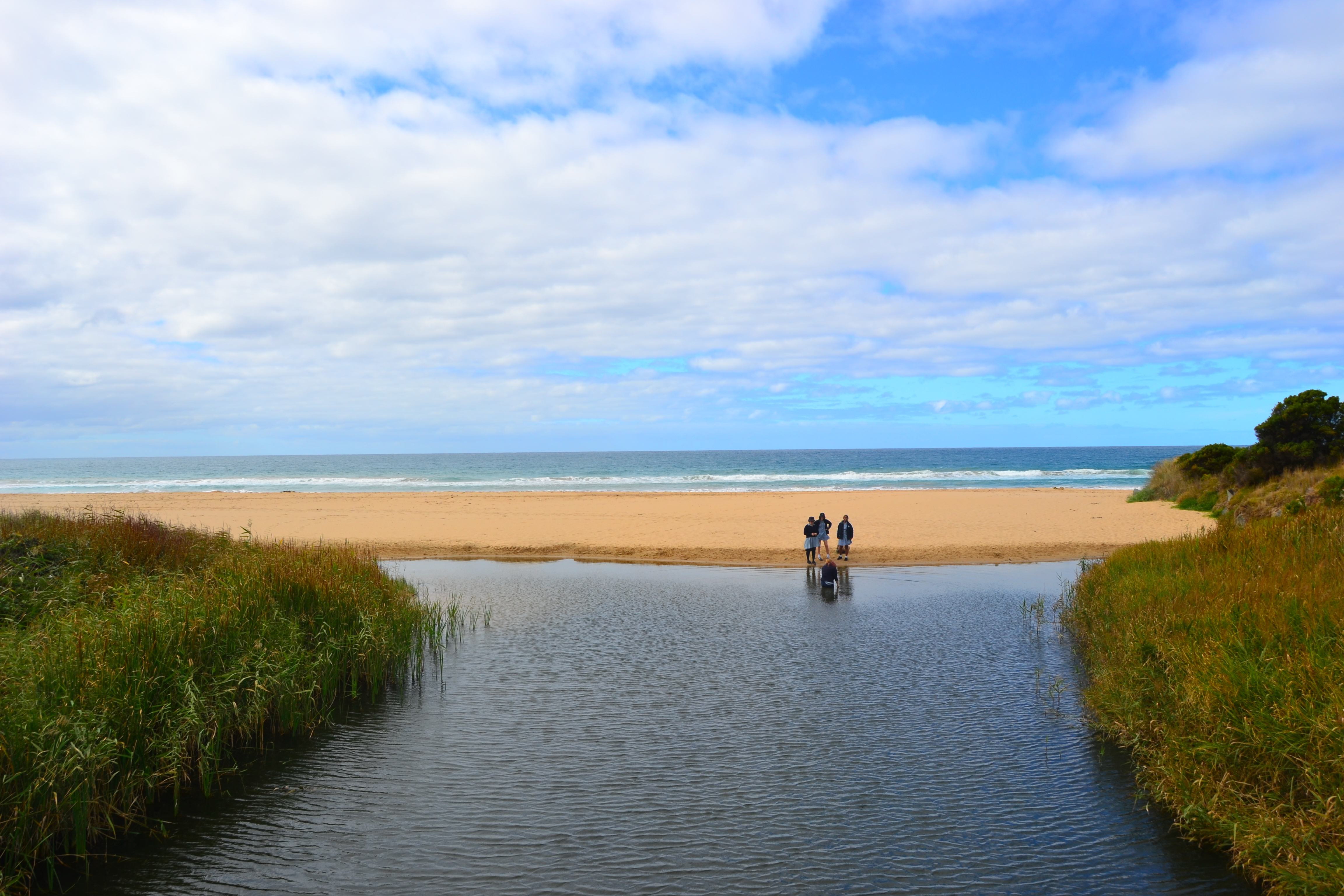
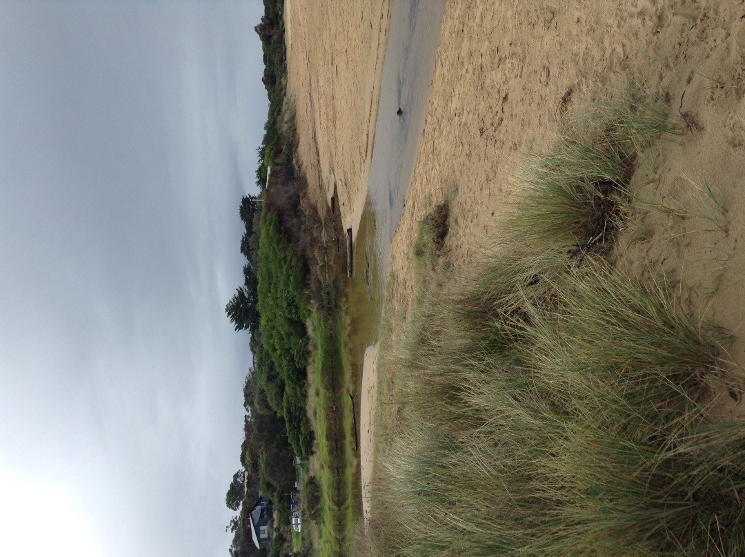
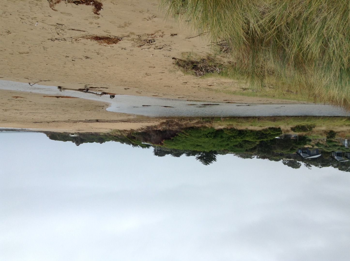
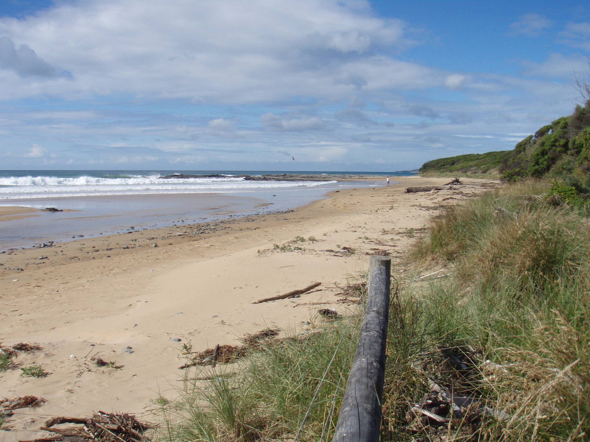
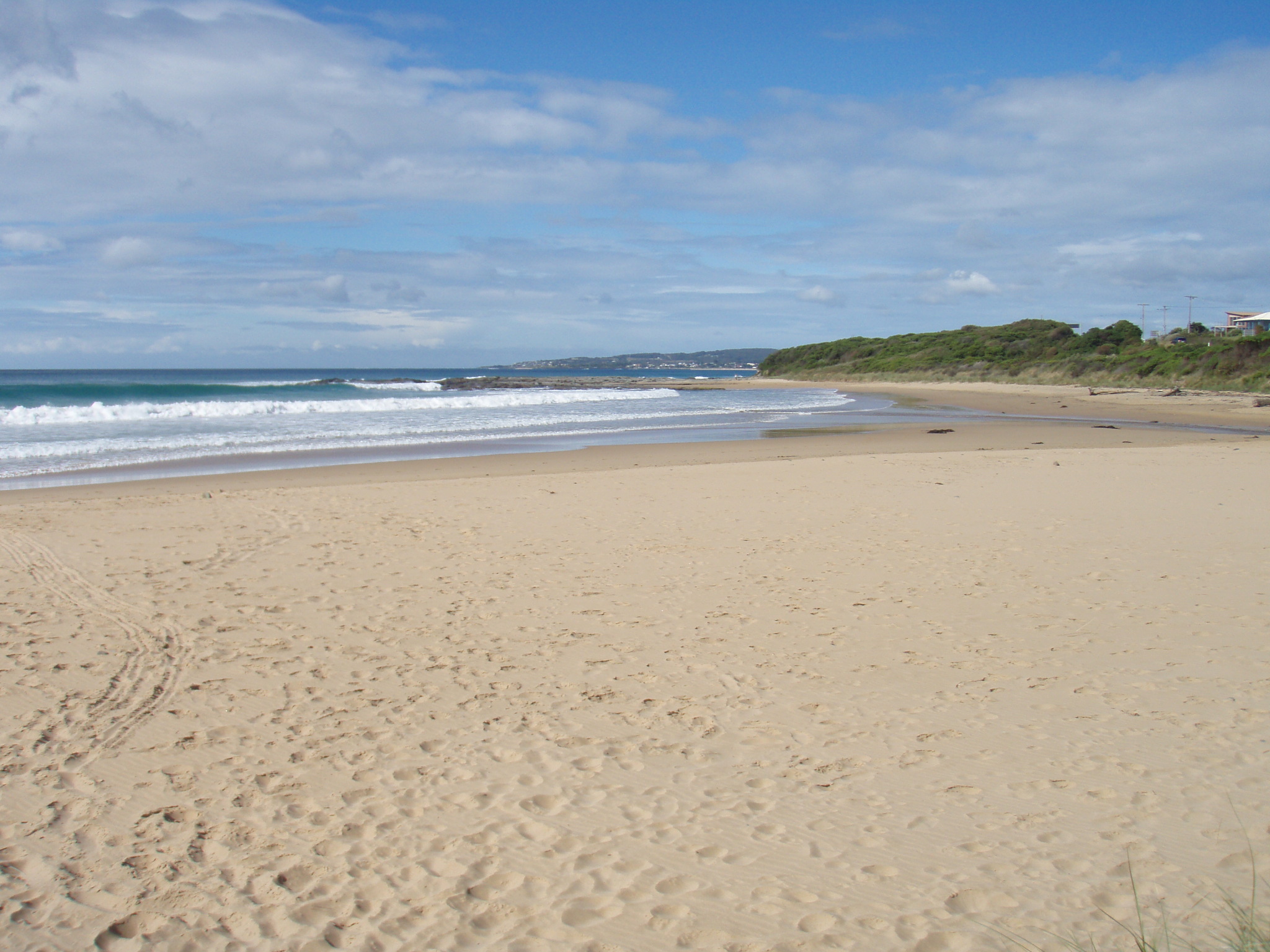
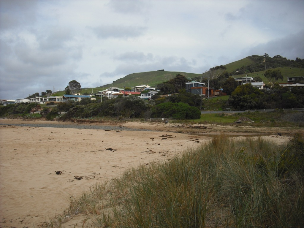
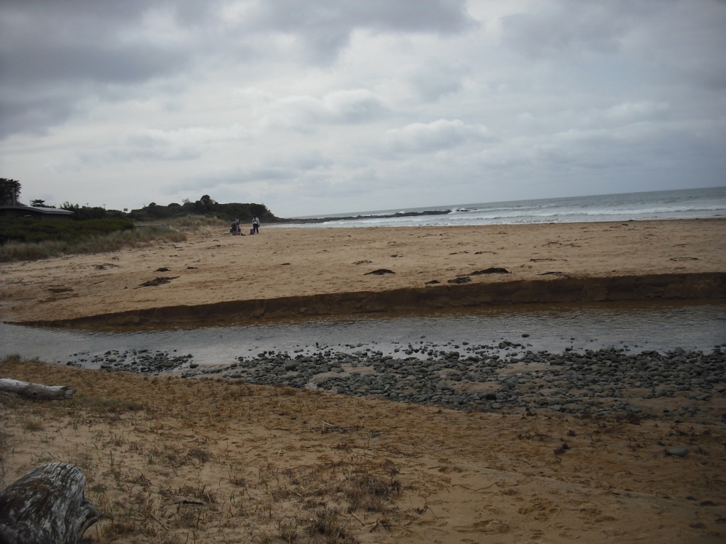
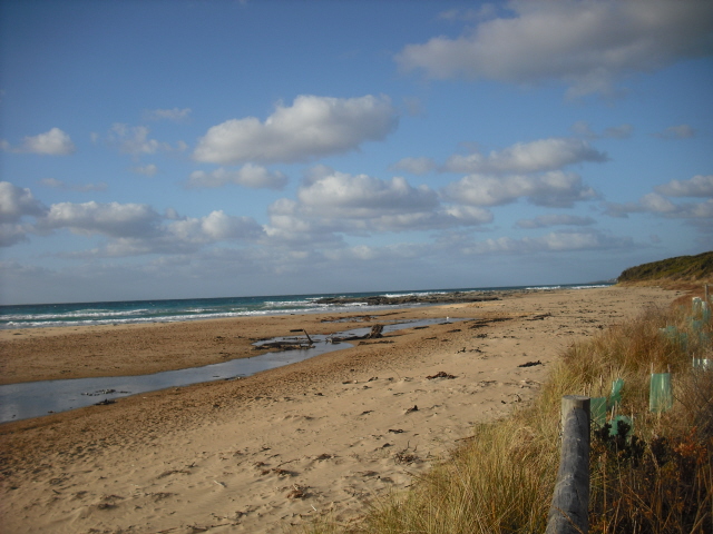
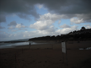
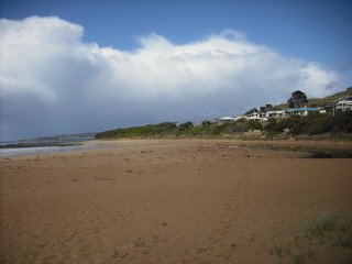
![skp1[2]](https://www.estuarywatch.org.au/documents/ccma_document_6541.jpg)
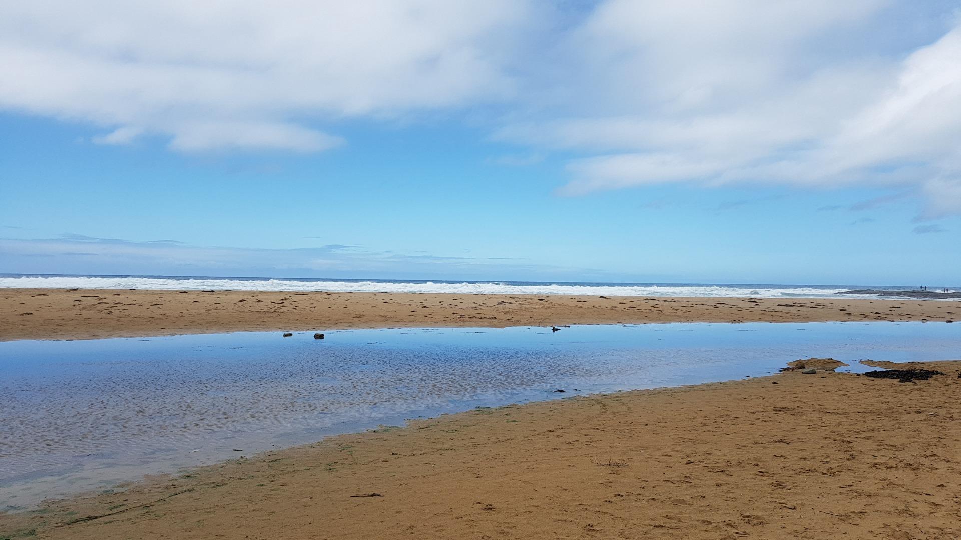
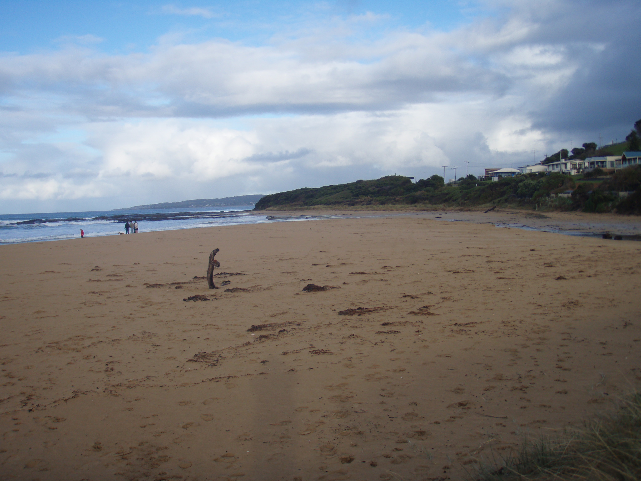
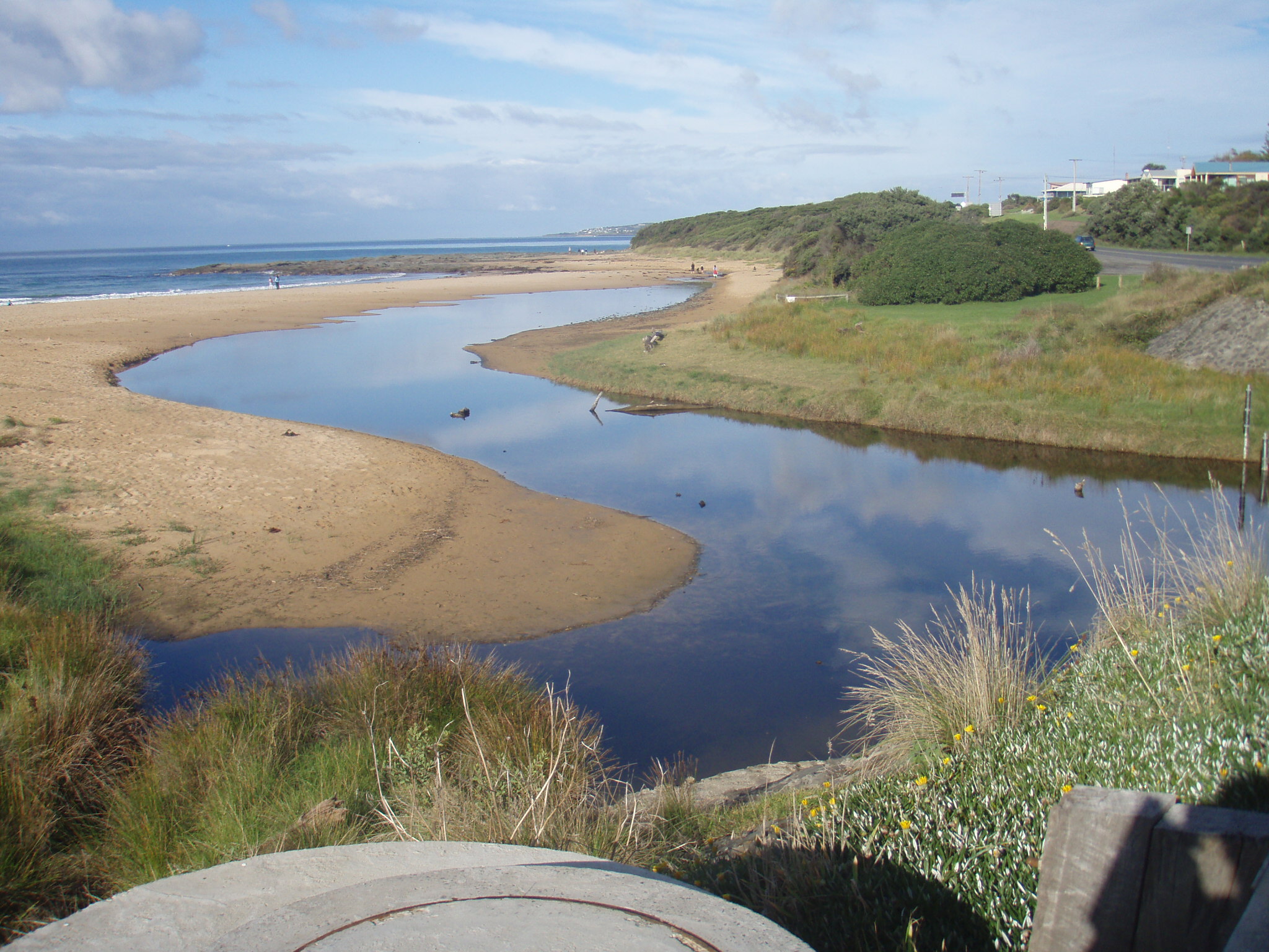
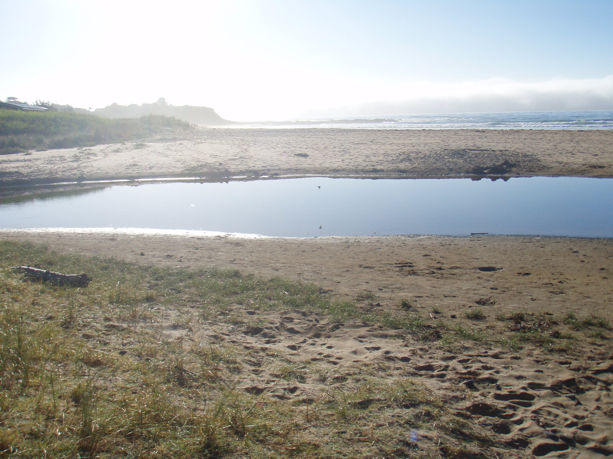
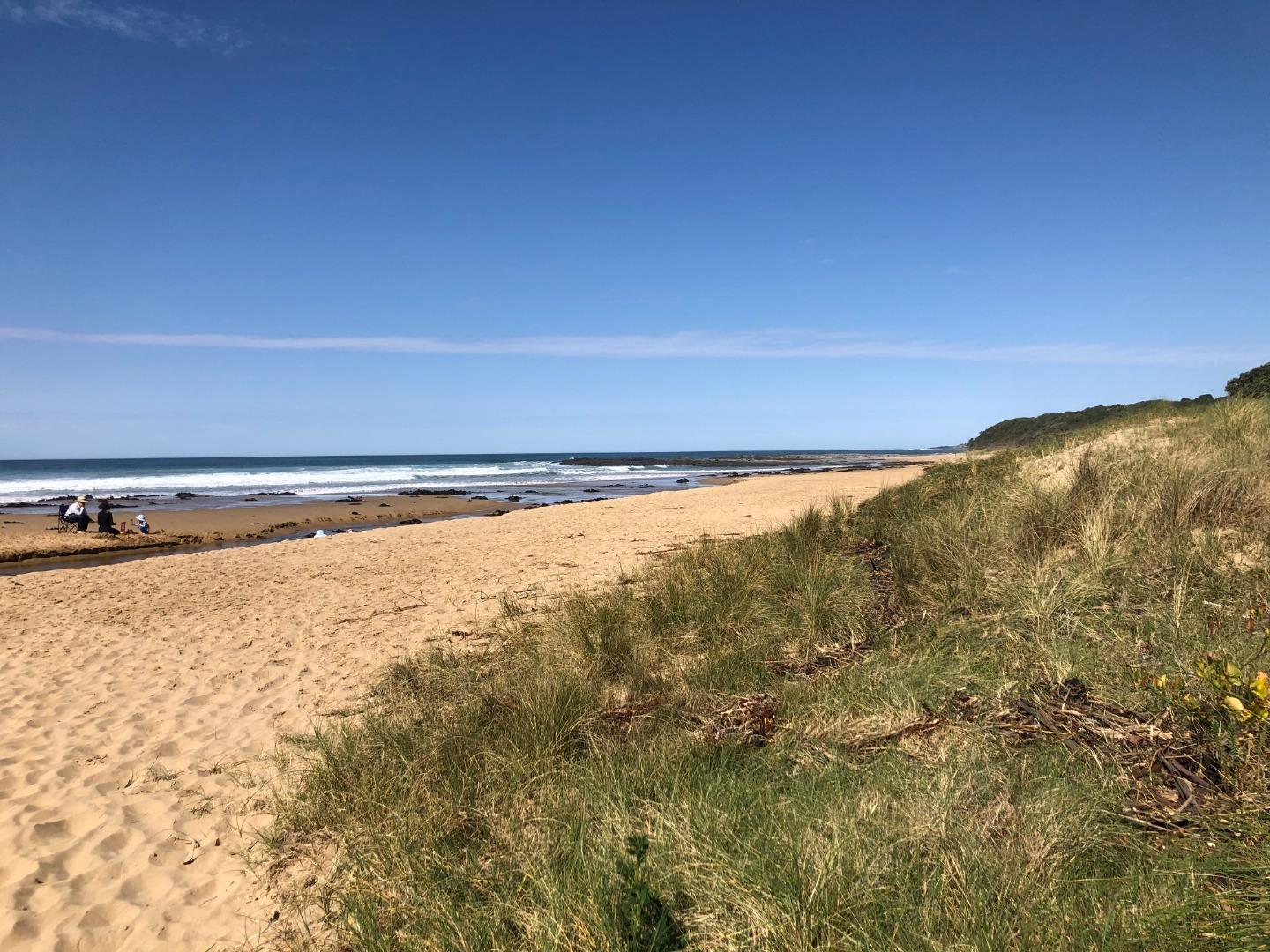
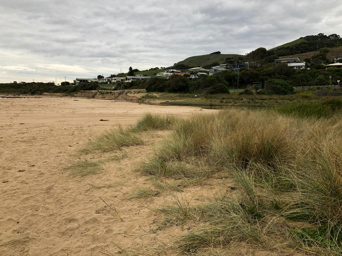
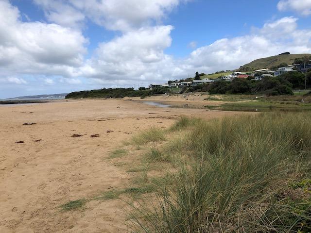
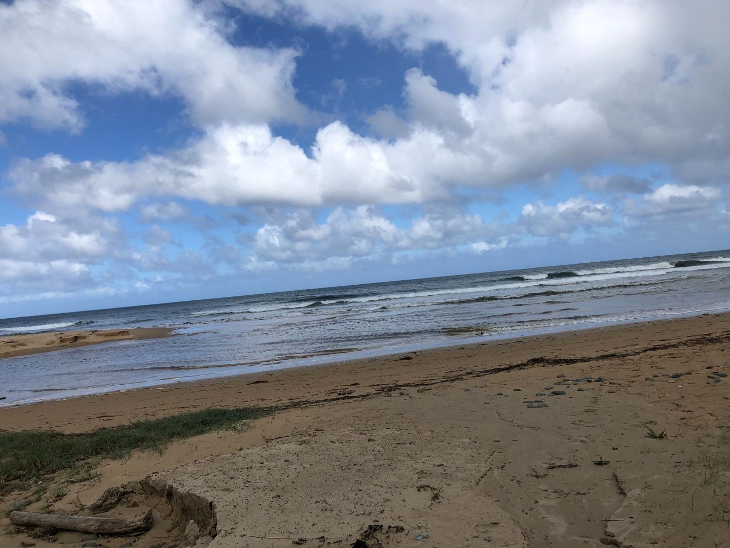
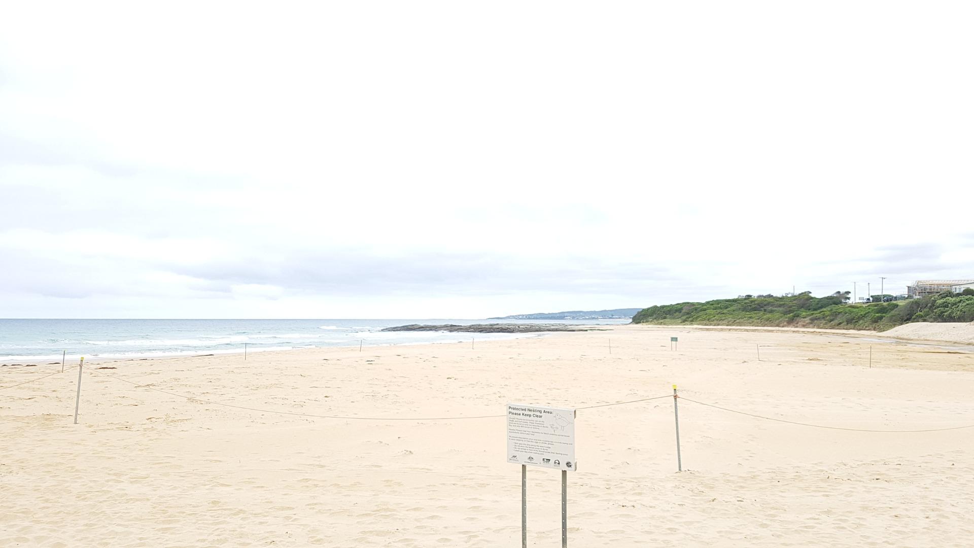
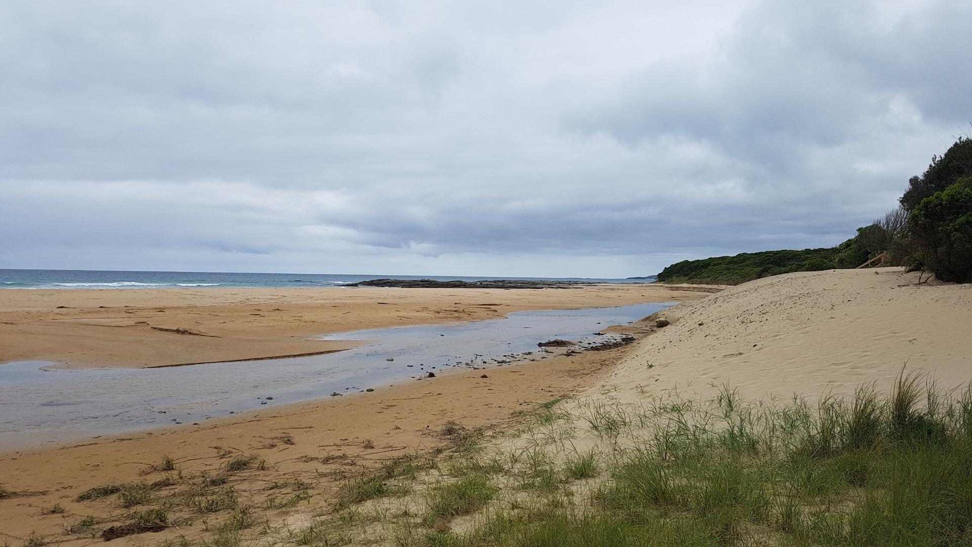
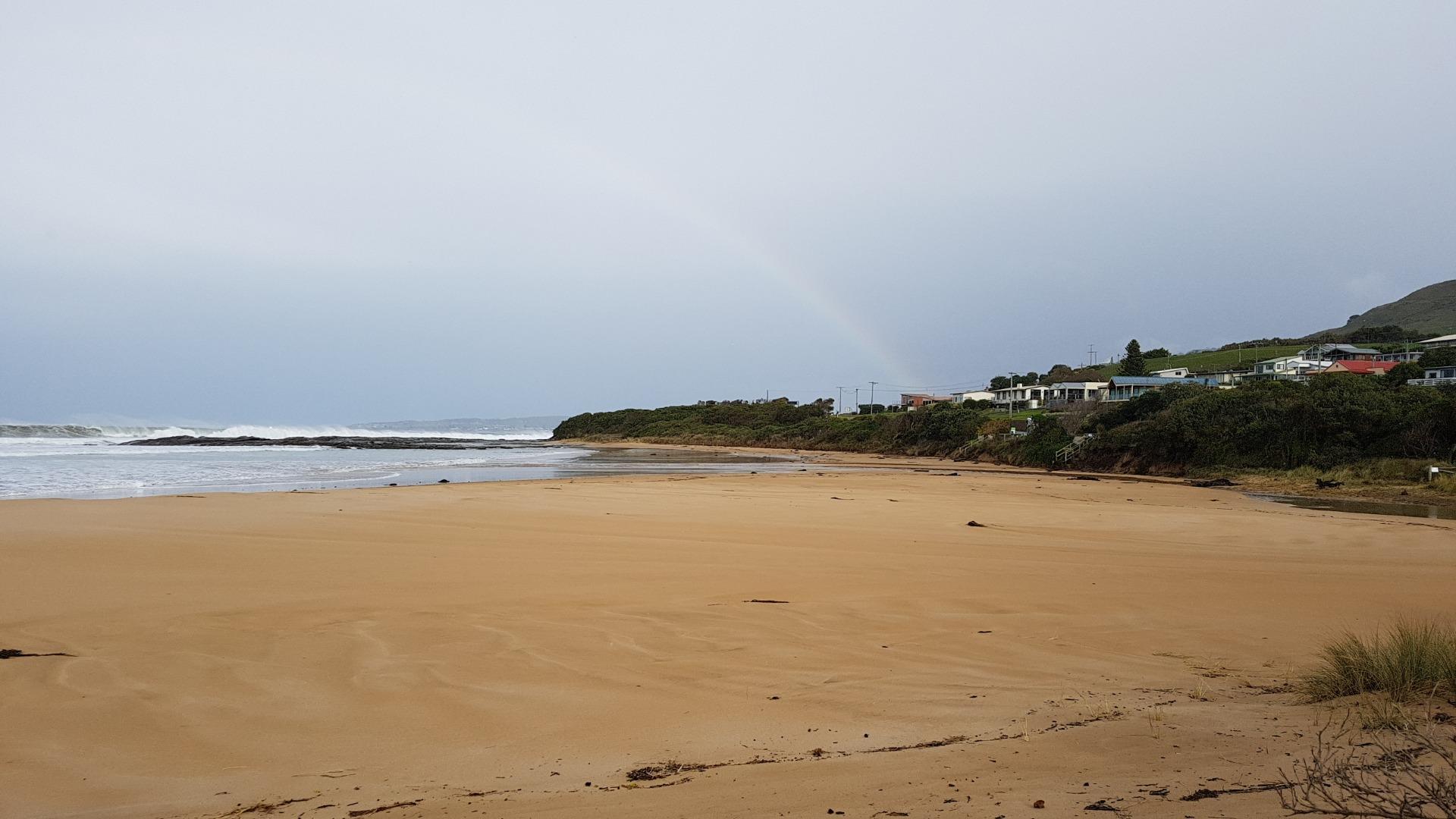
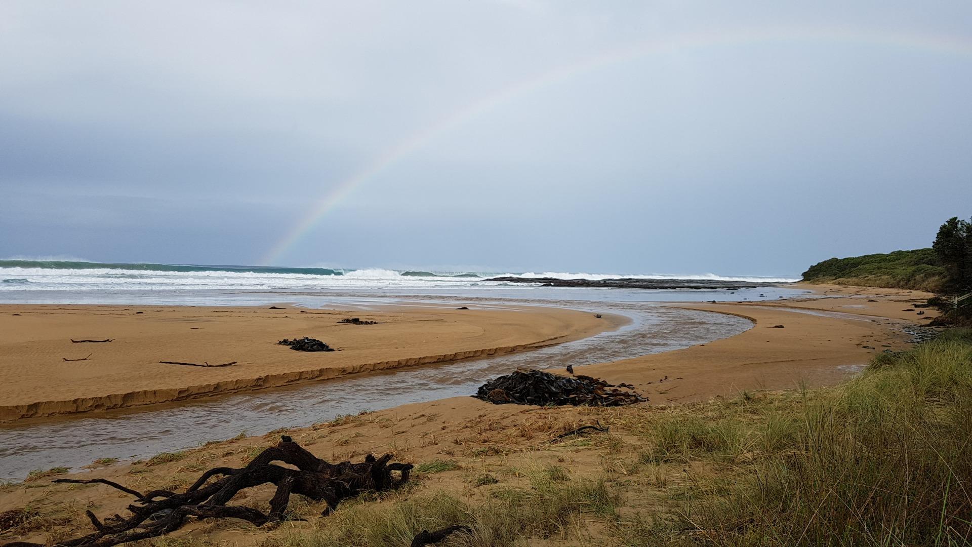
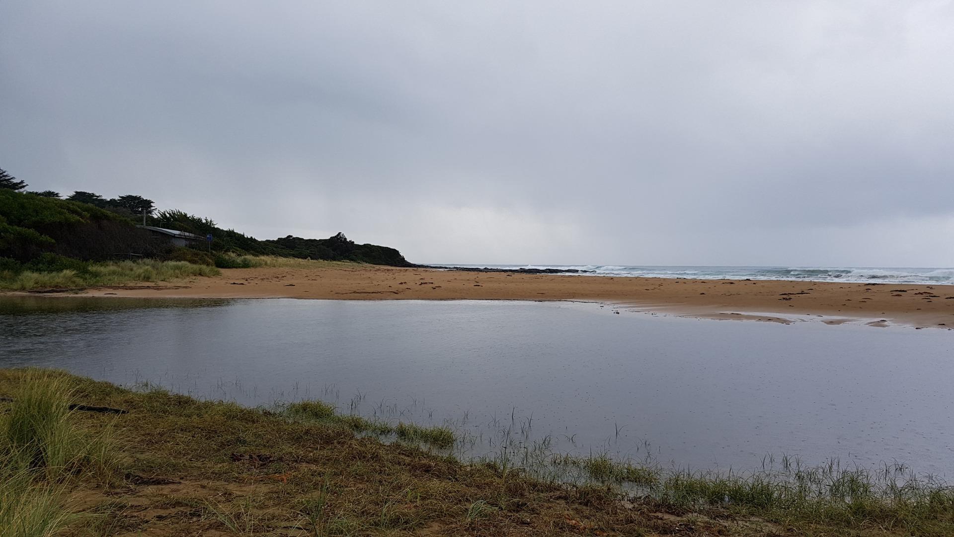
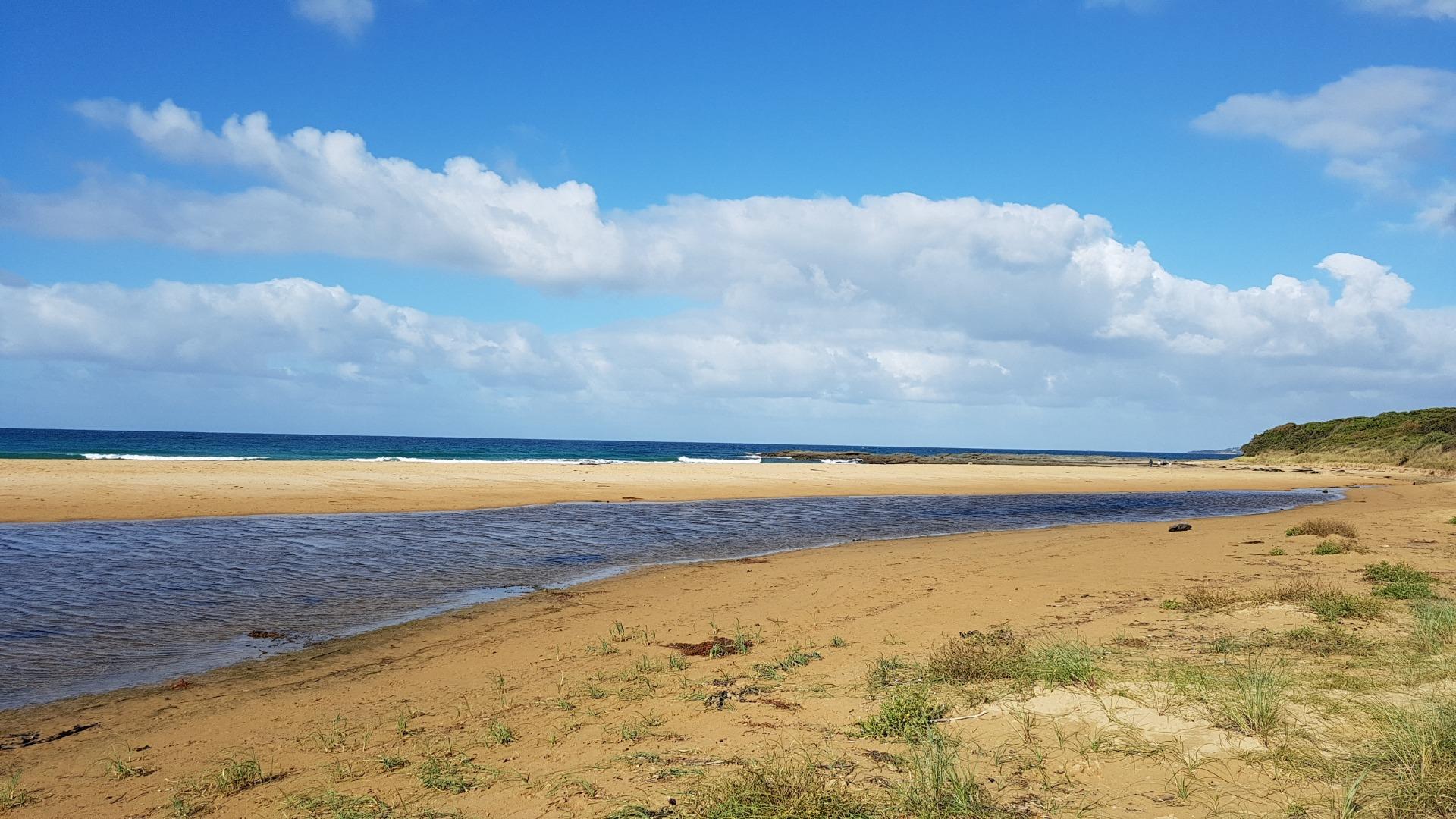
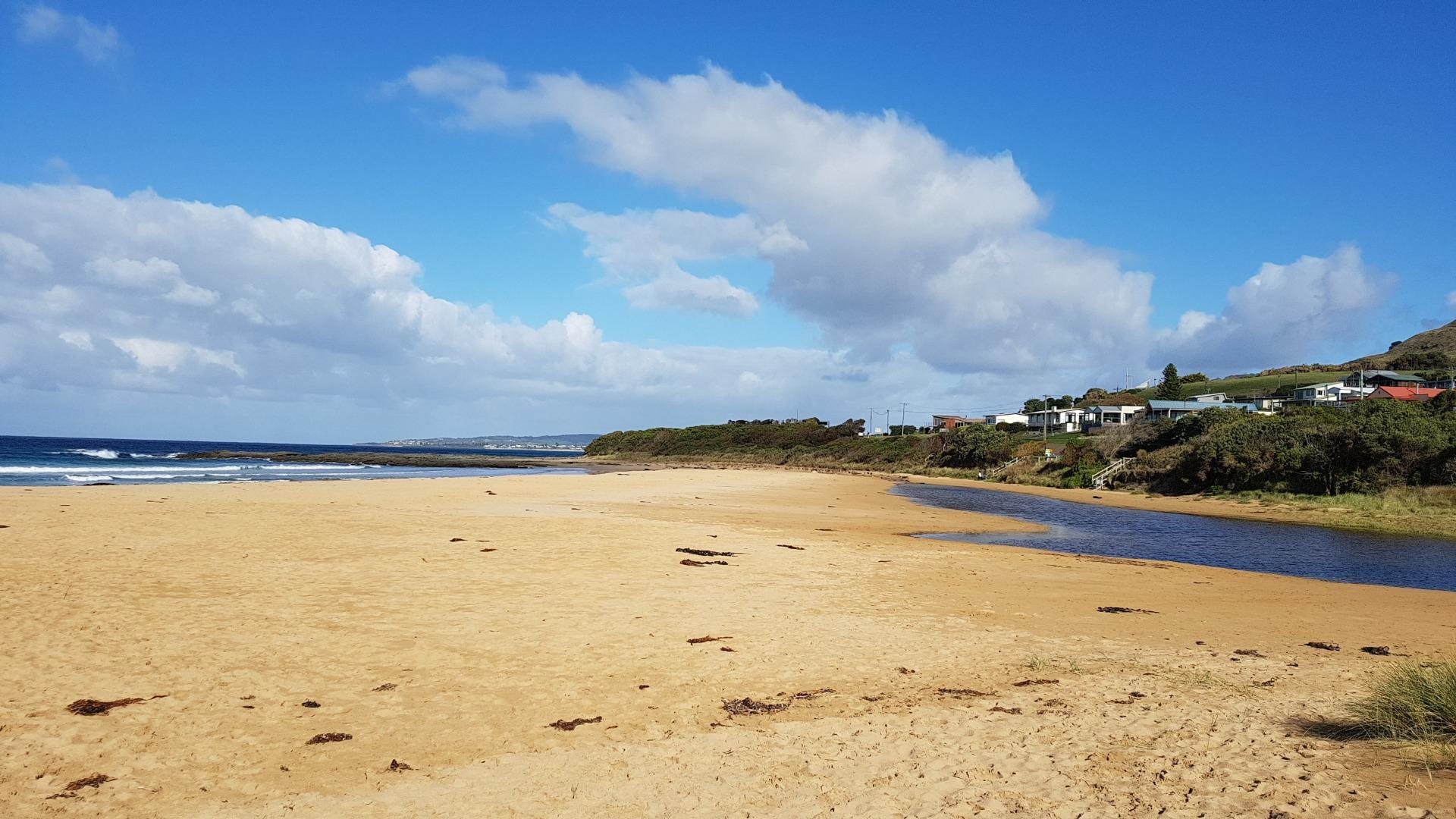
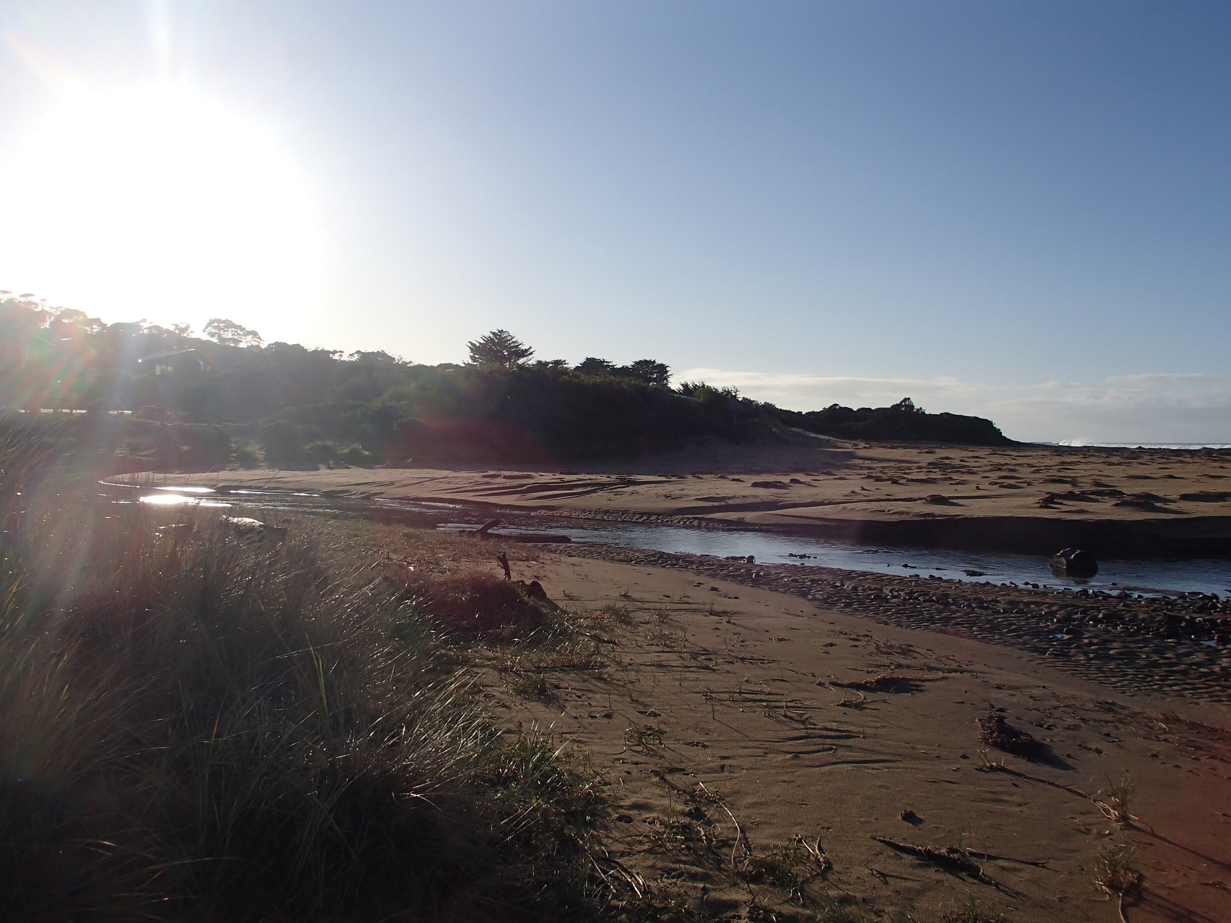
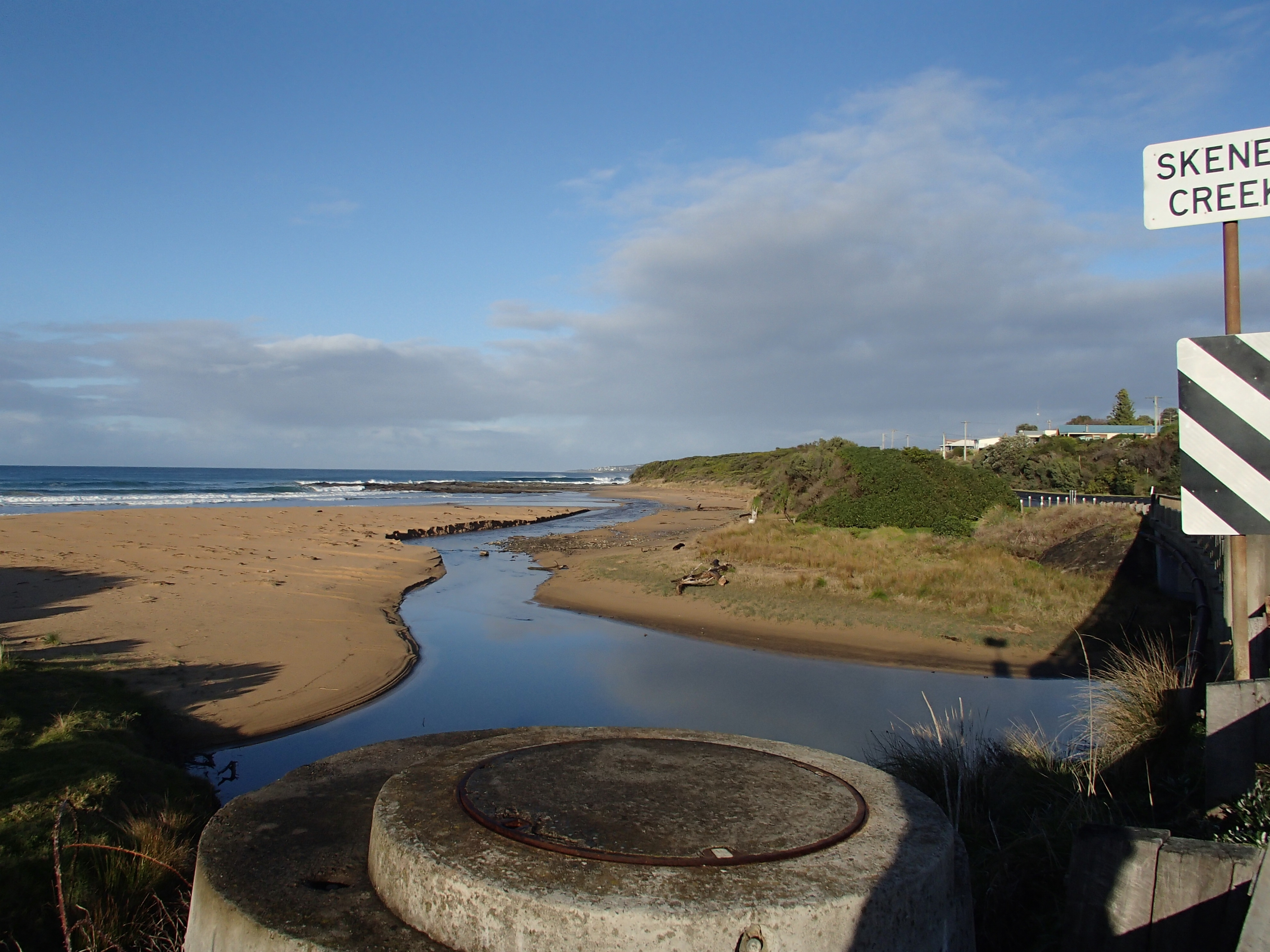
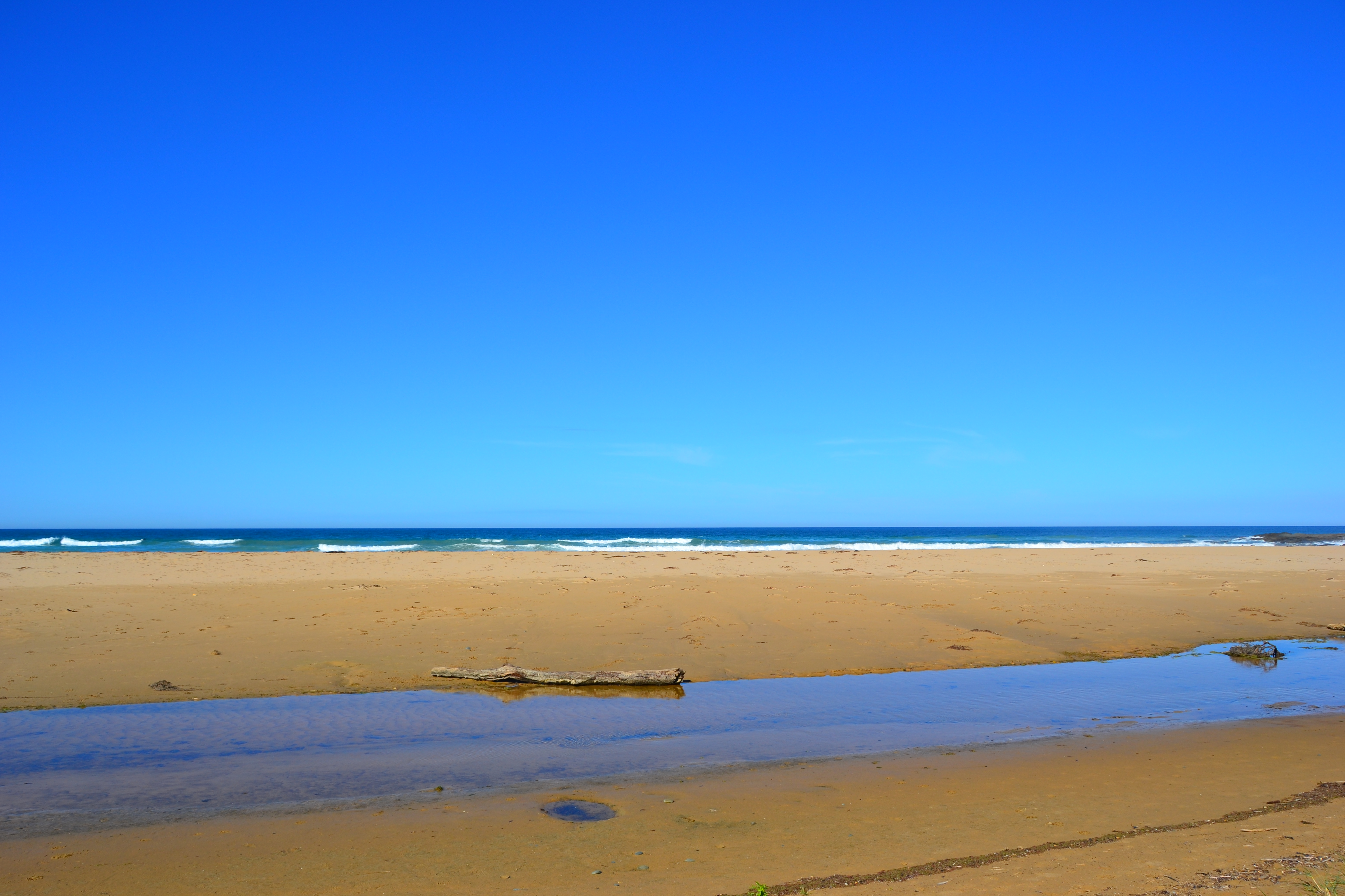
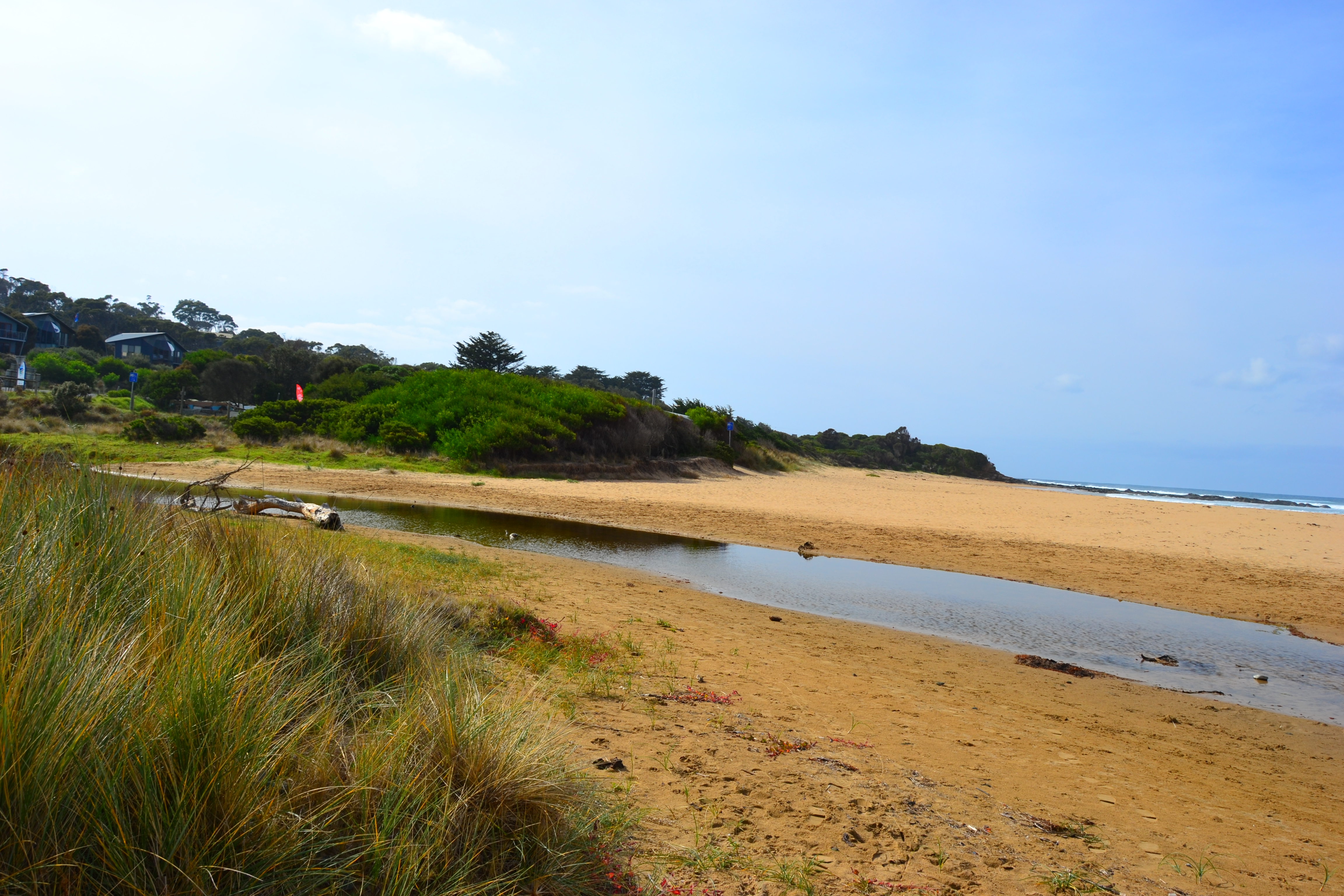
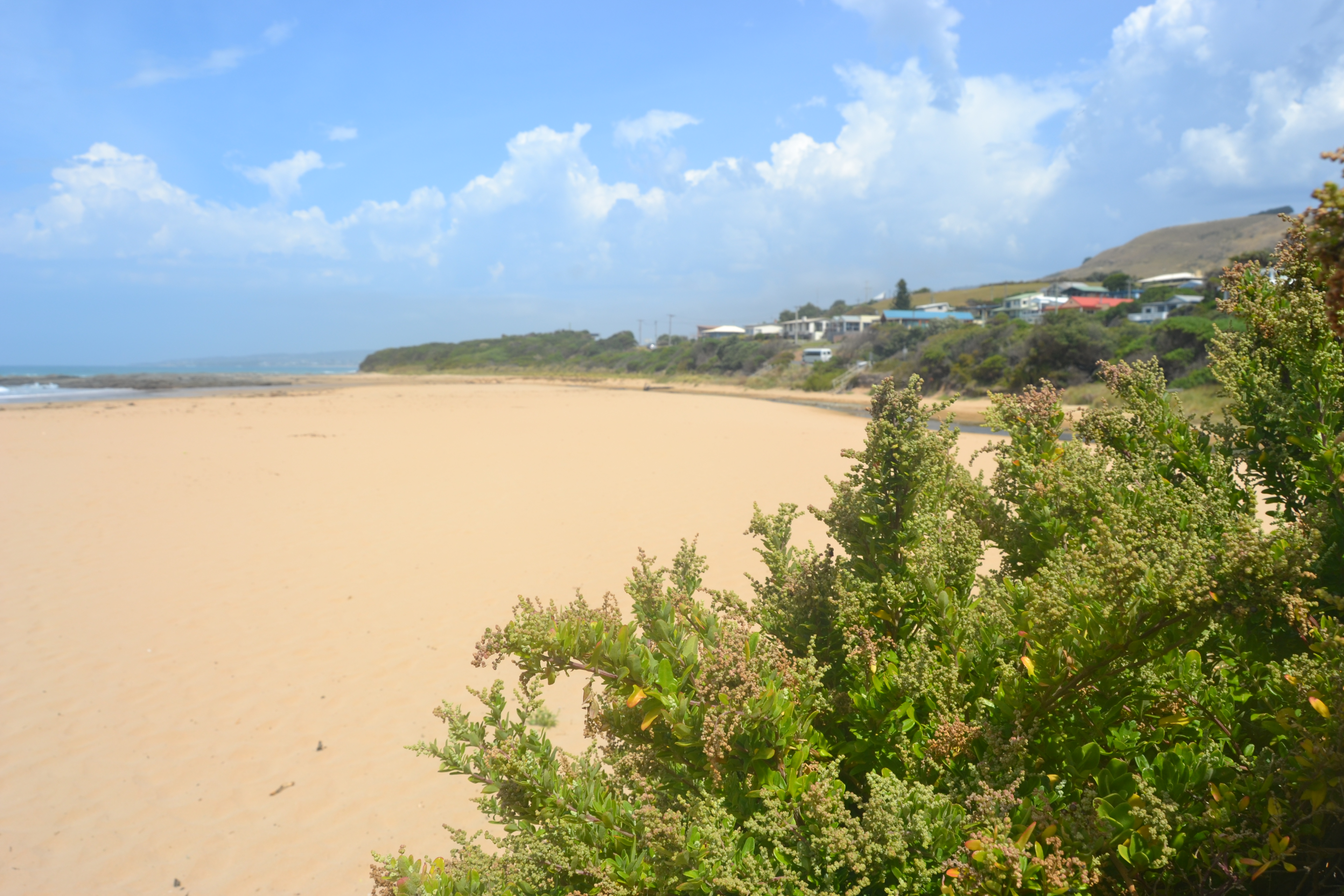
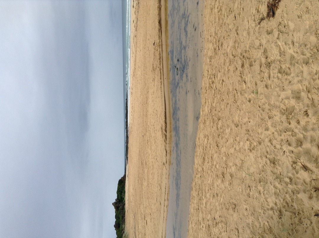
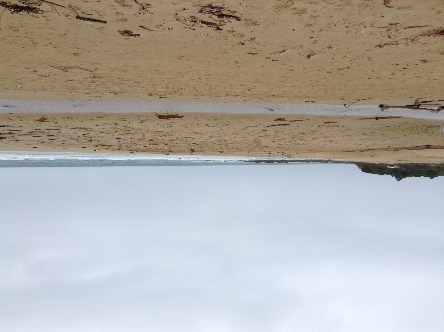
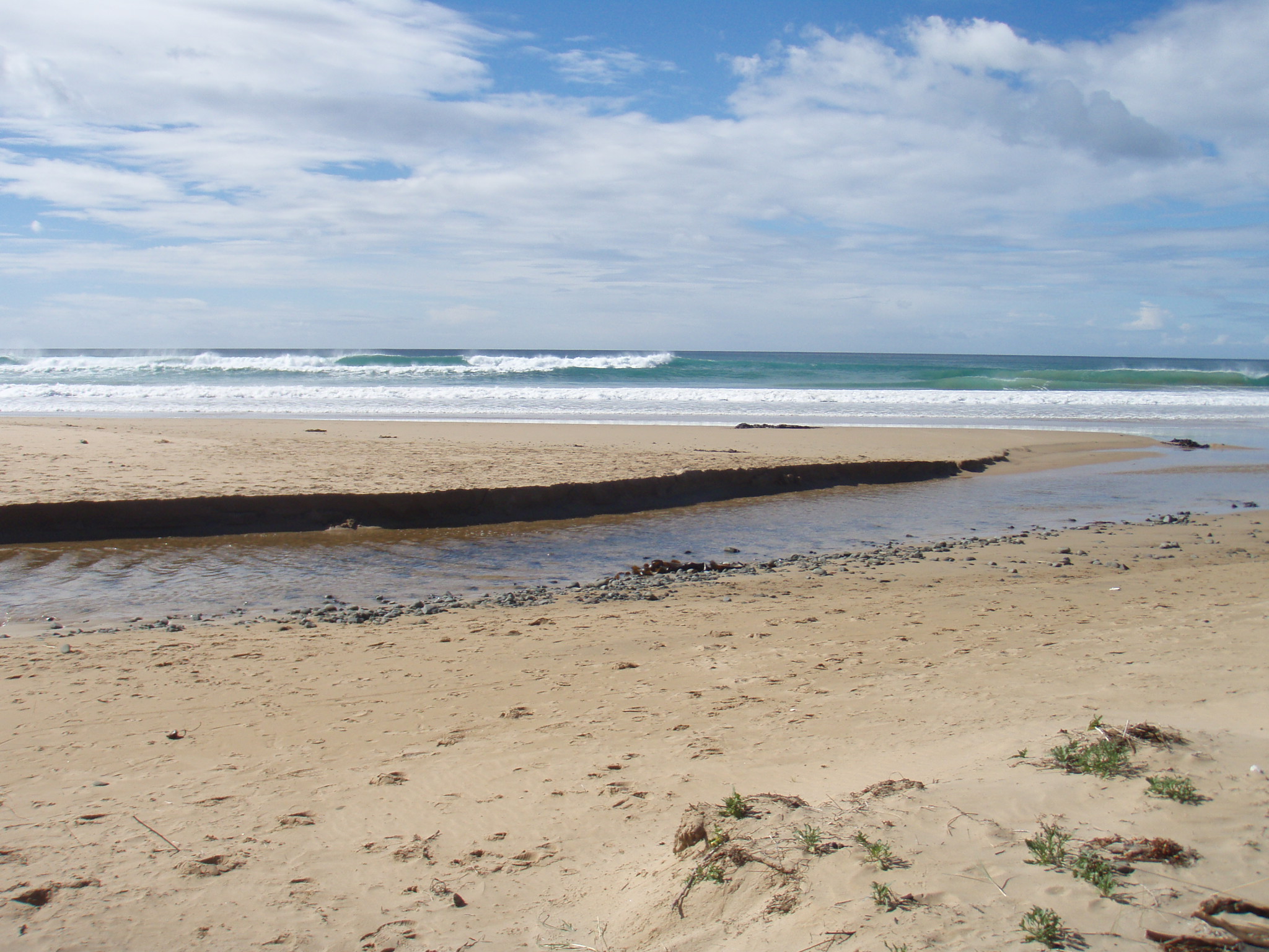
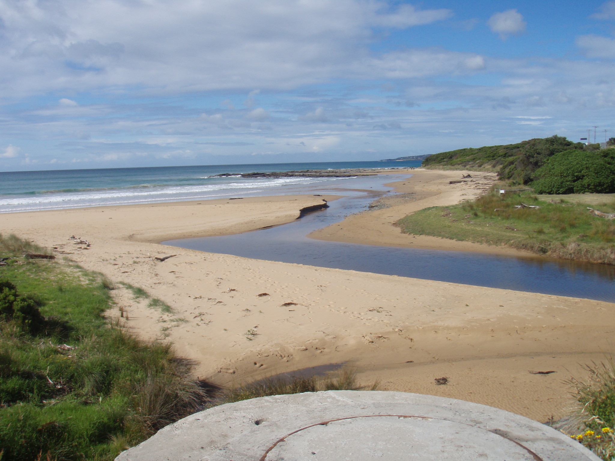
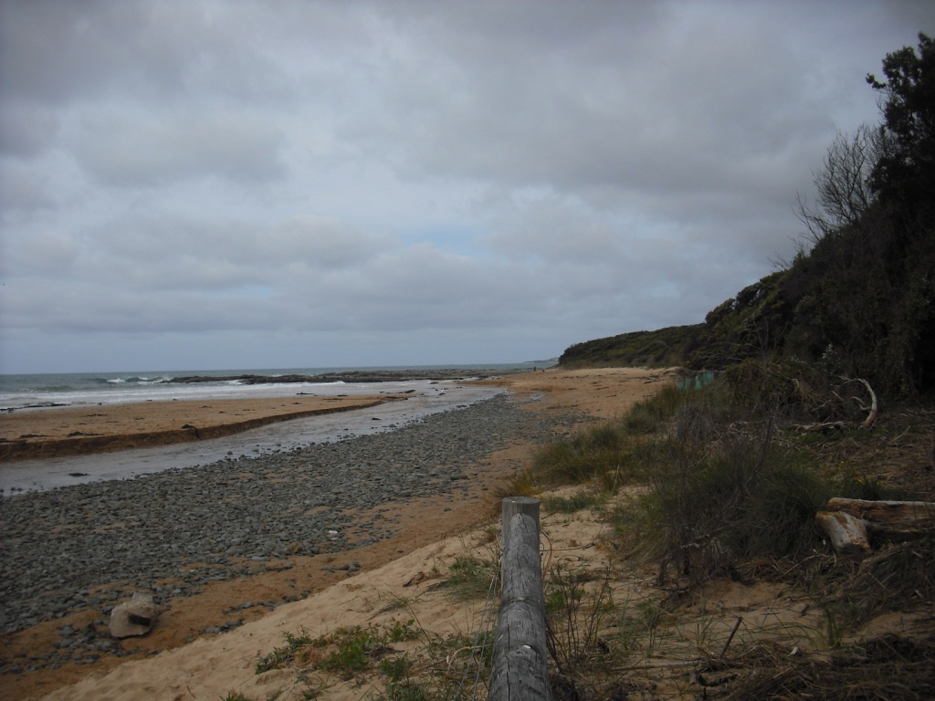
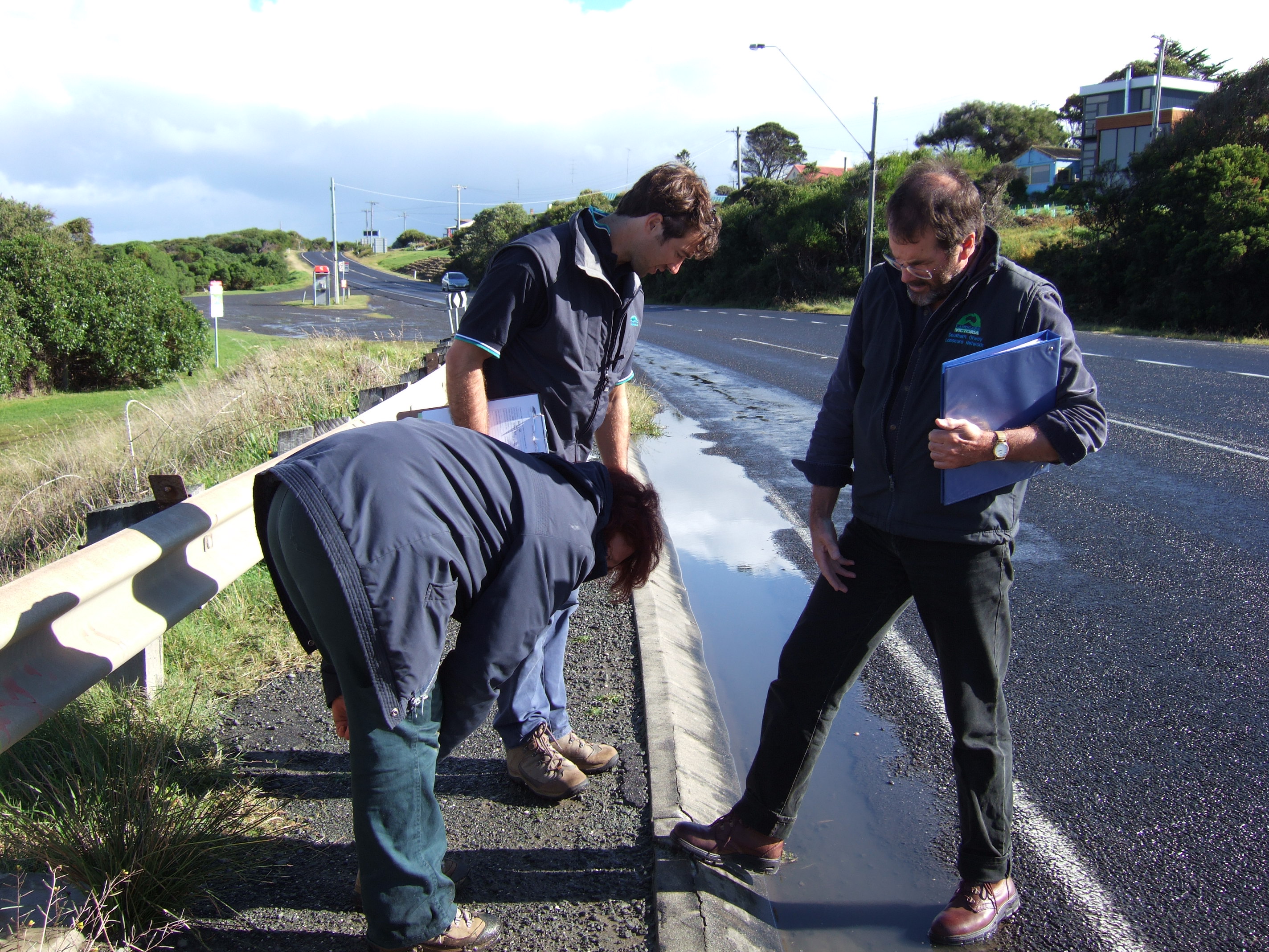
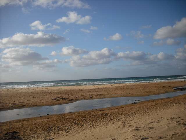
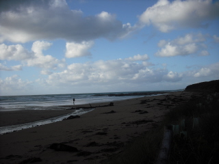
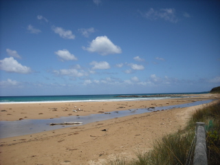
![skp1[3]](https://www.estuarywatch.org.au/documents/ccma_document_6542.jpg)

All content, files, data and images provided by the EstuaryWatch Data Portal and Gallery are subject to a Creative Commons Attribution License
Content is made available to be used in any way, and should always attribute EstuaryWatch and www.estuarywatch.org.au