EstuaryWatch Data Portal
Site details
Overview
| Estuary | Anglesea River Estuary |
|---|---|
| CMA | Corangamite CMA |
| Type | Photopoint |
| Site code | Ap2 |
| Site name | Anglesea River Estuary Mouth Photopoint 2 |
| Nearest road and town | Anglesea |
| Description |
Exit point of walking track onto estuary/beach. SW corner of Anglesea Family Holiday Park. |
| Site access |
Walk along track on eastern side of estuary or cross the river mouth from the western side if it is safe to do so. |
| Land use |
|
| Land use description |
Protected dune and beach. |
| Status | Inactive |
| Observation history | 31-08-2008 - 13-09-2021 |
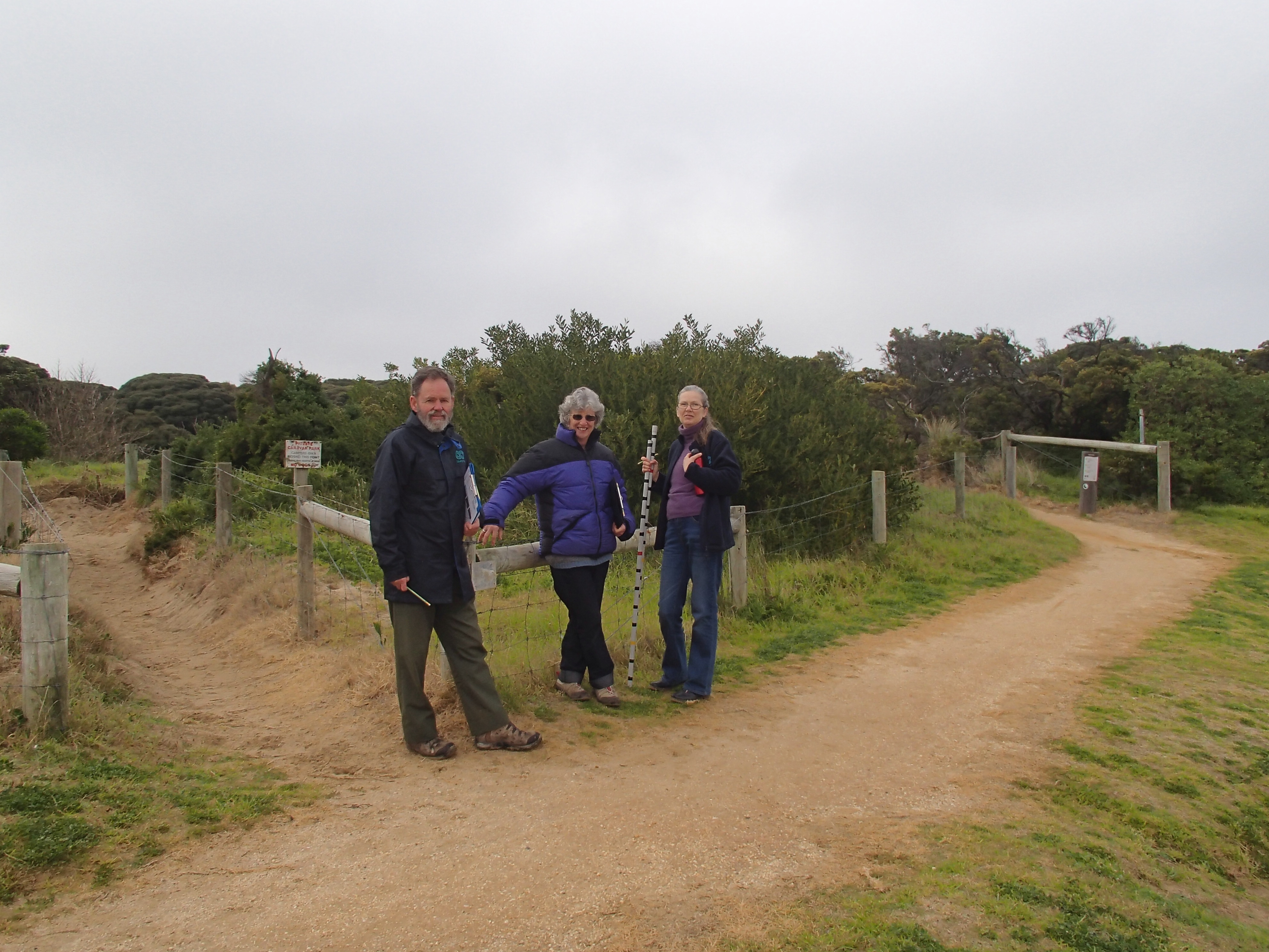
Anglesea photopoint site two |
|
Photopoint photos
No photos found for the specified period

All content, files, data and images provided by the EstuaryWatch Data Portal and Gallery are subject to a Creative Commons Attribution License
Content is made available to be used in any way, and should always attribute EstuaryWatch and www.estuarywatch.org.au