EstuaryWatch Data Portal
Site details
Overview
| Estuary | Anglesea River Estuary |
|---|---|
| CMA | Corangamite CMA |
| Type | Photopoint |
| Site code | Ap1 |
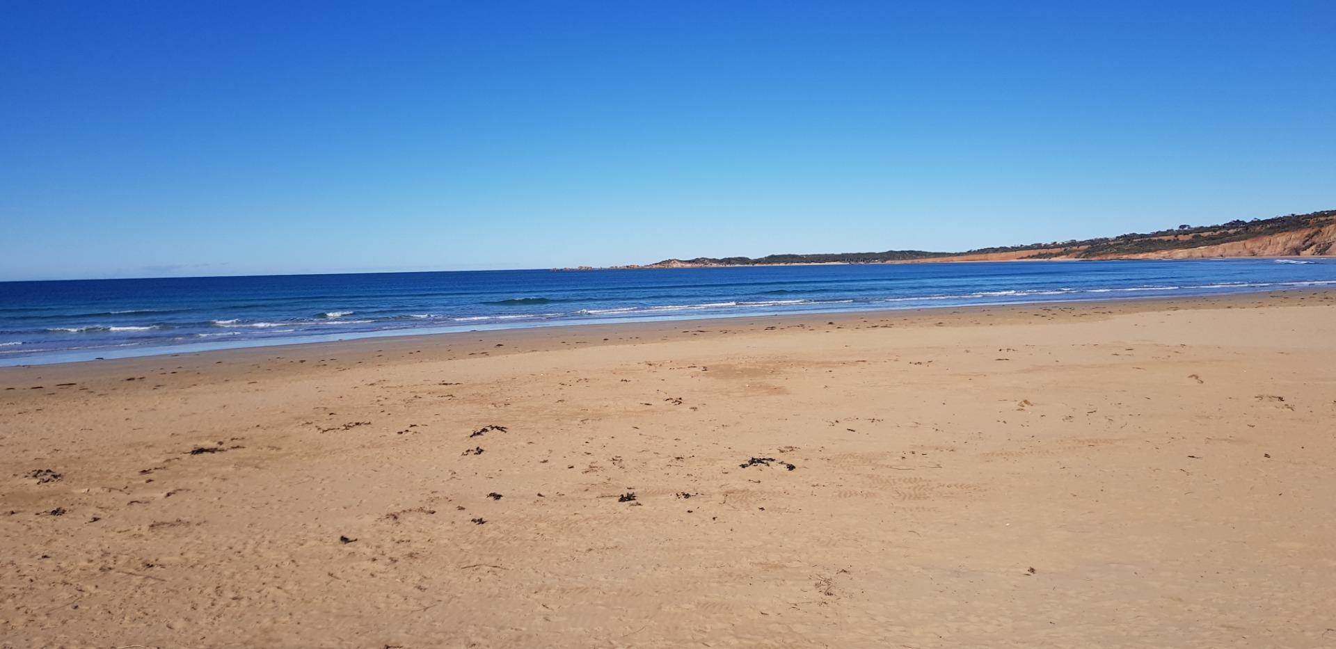
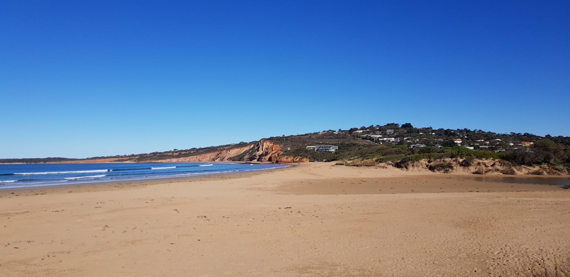
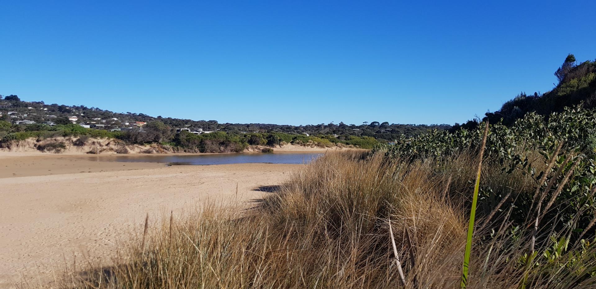
| Site name | Anglesea River Estuary Mouth Photopoint |
| Nearest road and town | Anglesea |
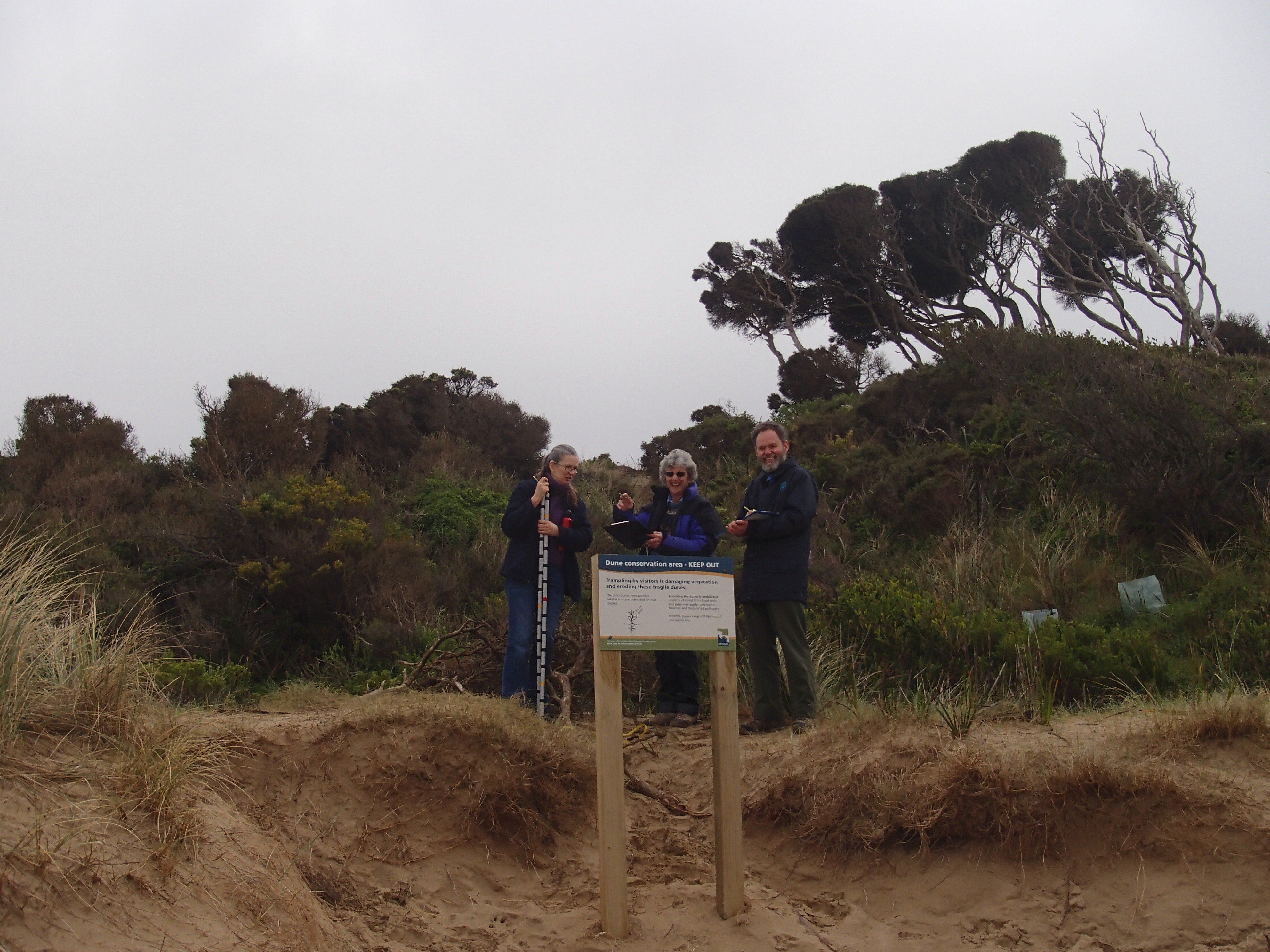
| Description | Adjacent to eastern bank of river mouth, southern most point. |
| Site access | Walk along track on eastern side of estuary towards mouth. Or cross the river mouth from western side if safe. |
| Land use |
|
| Land use description | Protected beach and sand dune. |
| Status | Active |
| Observation history | 10-05-2008 - 26-03-2024 |
New |
|
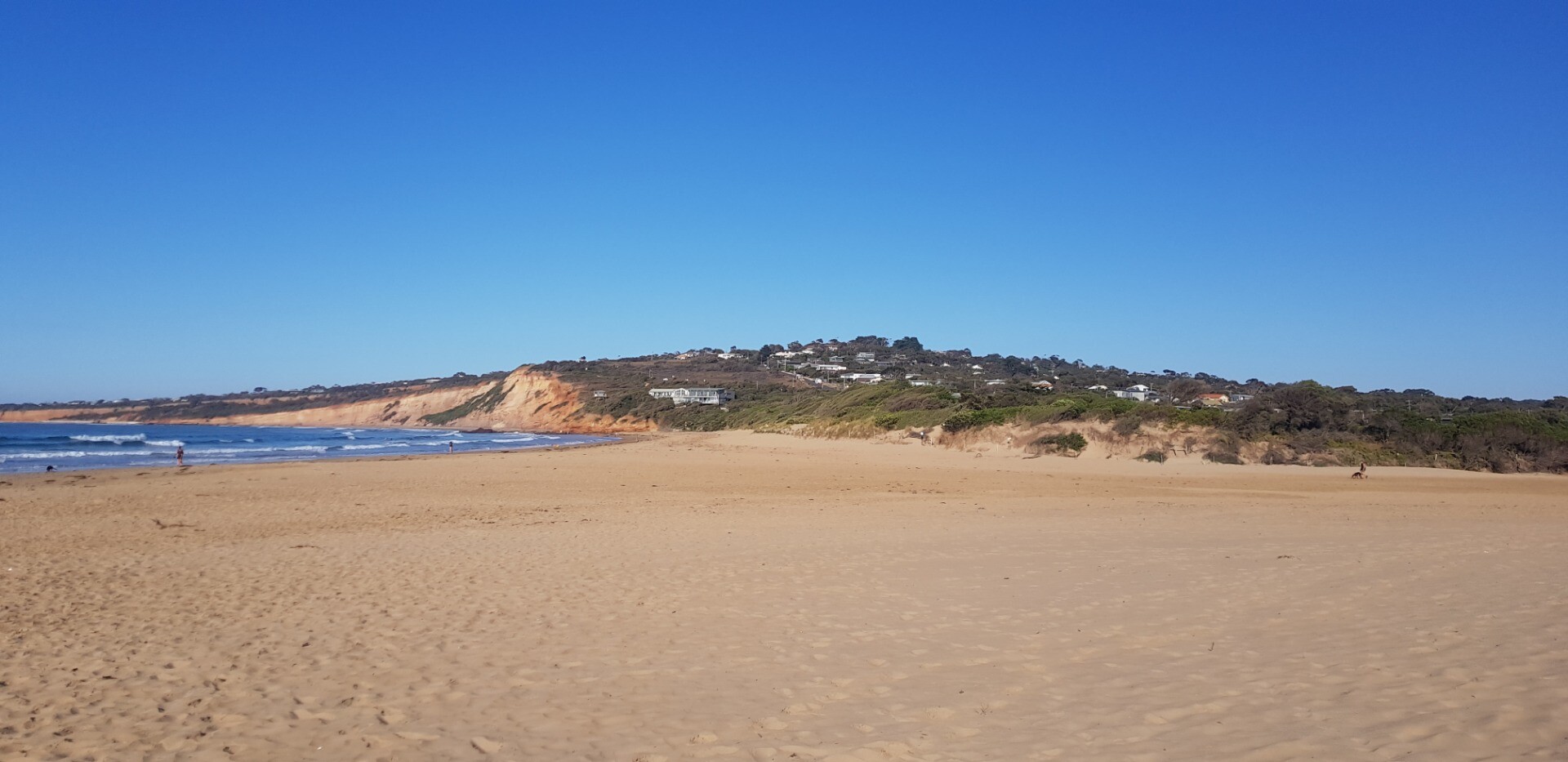
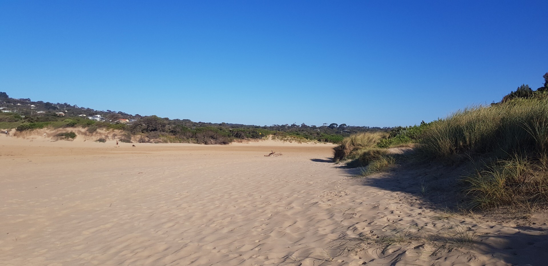
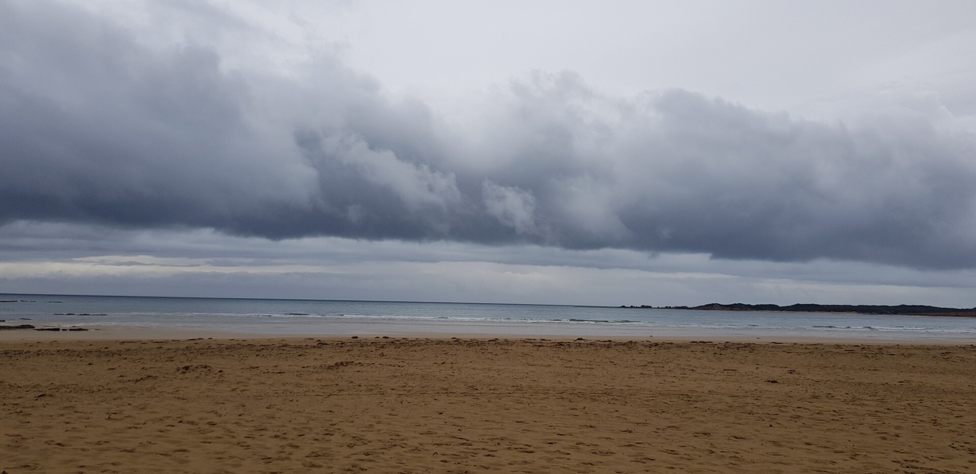
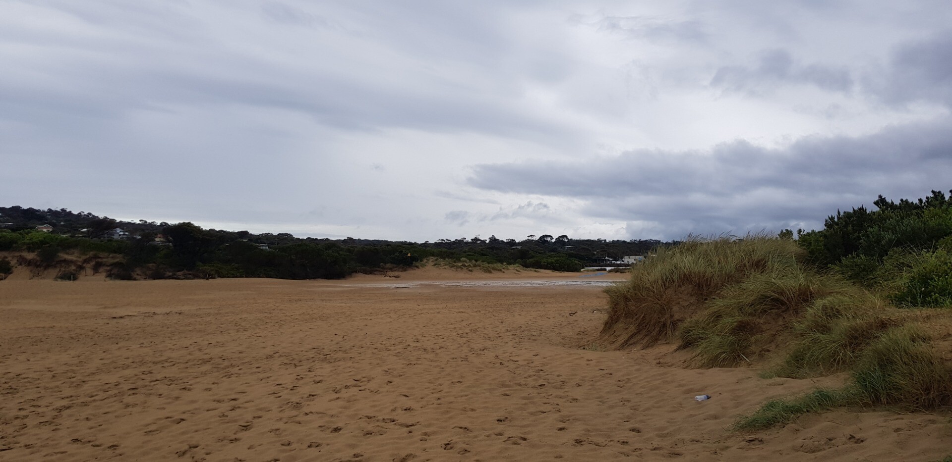
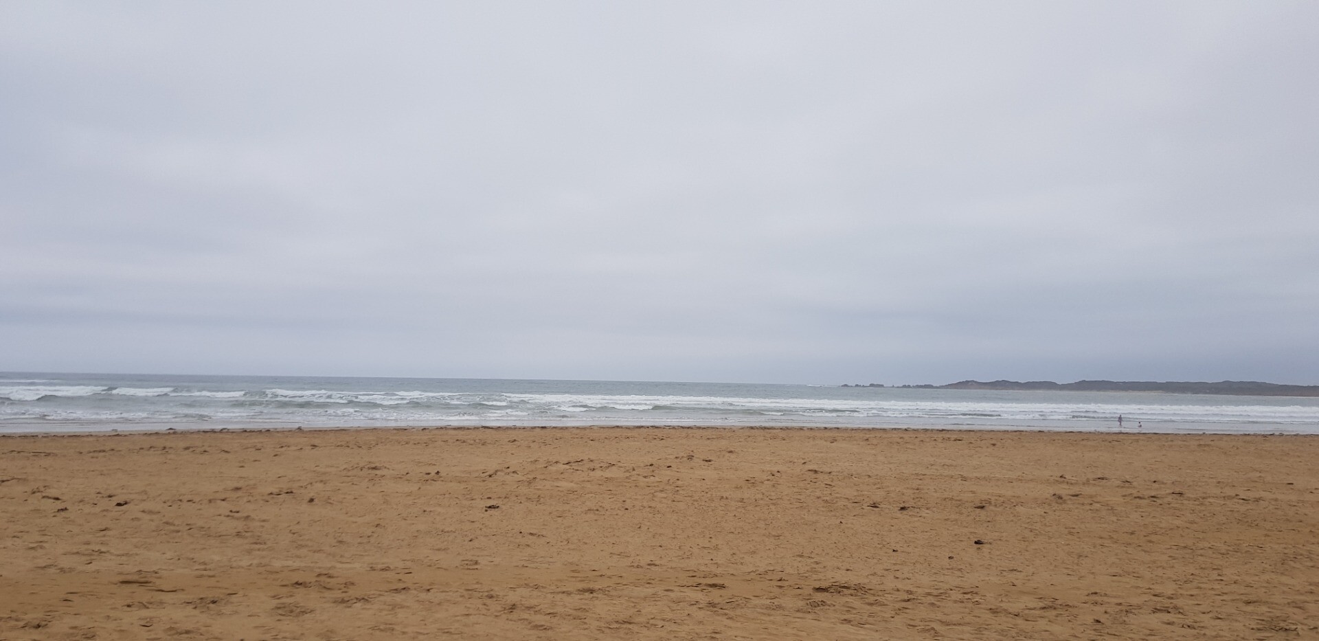
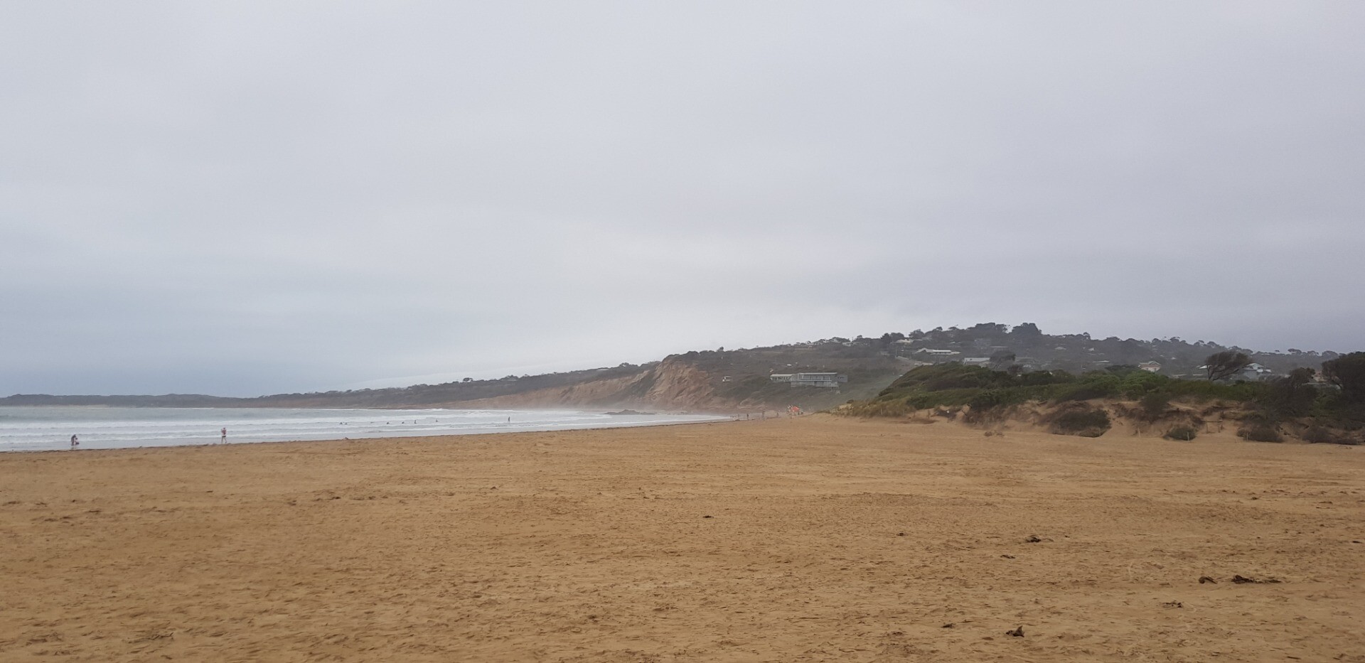
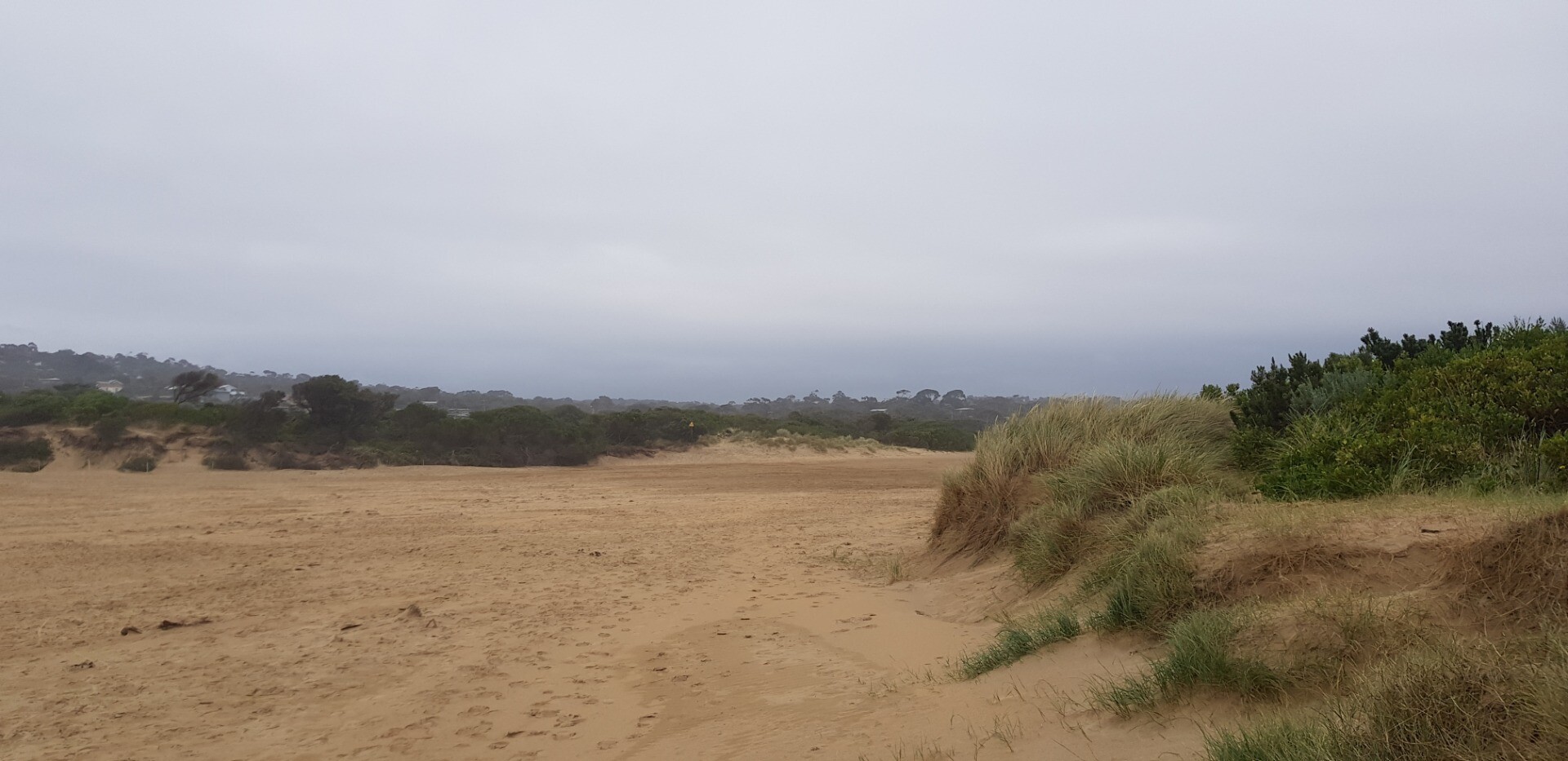
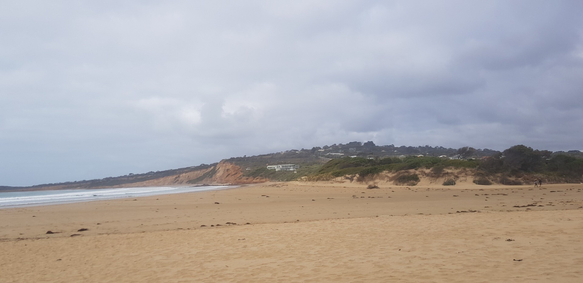
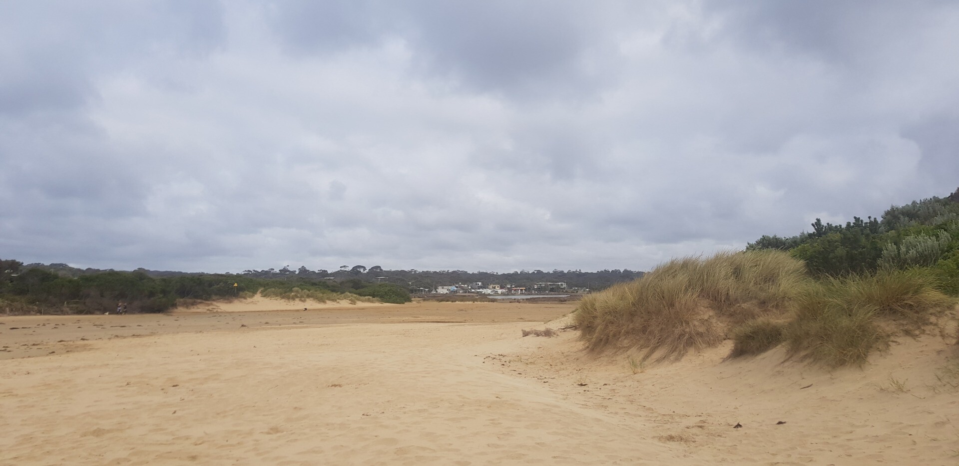
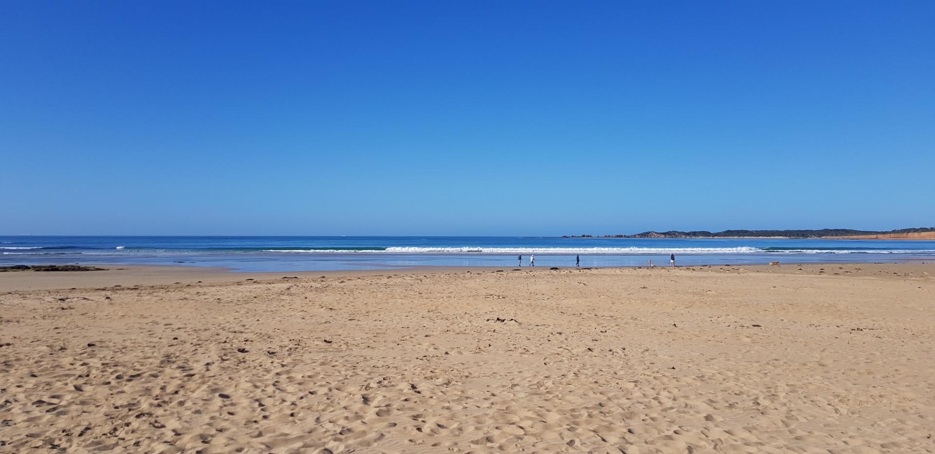
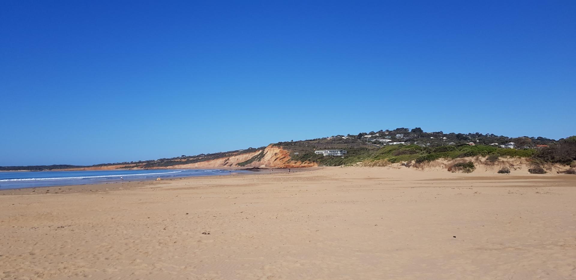
Photopoint photos
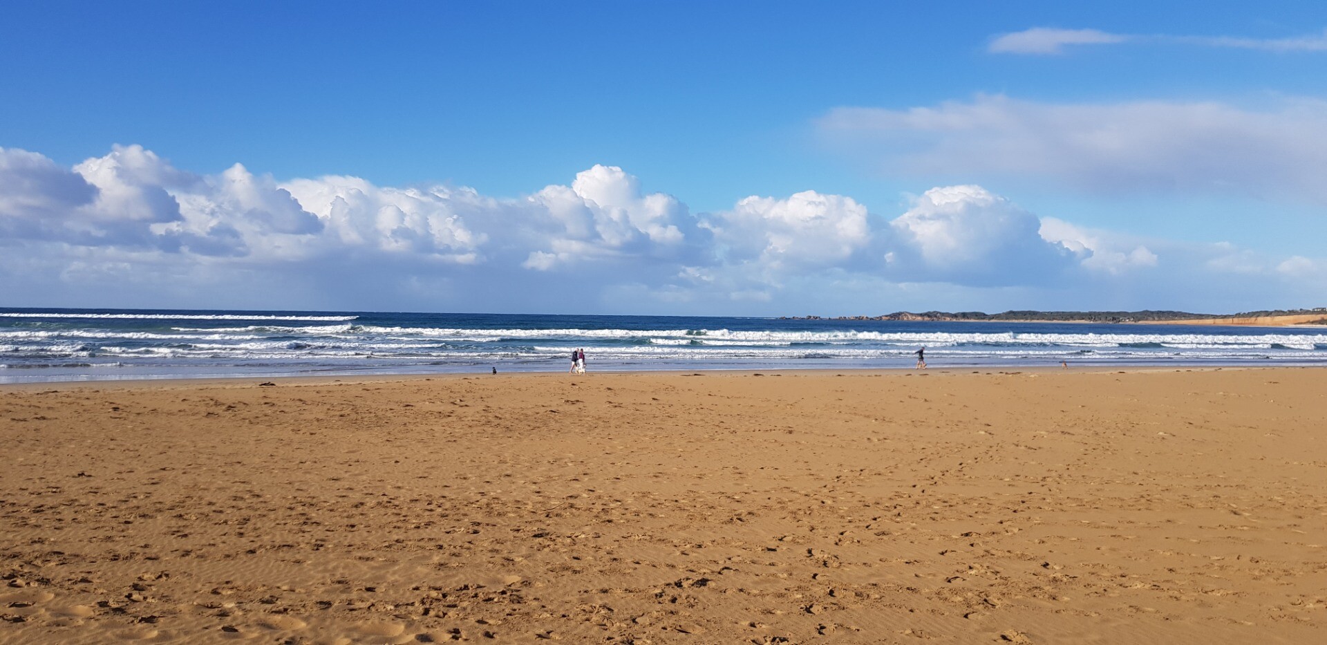
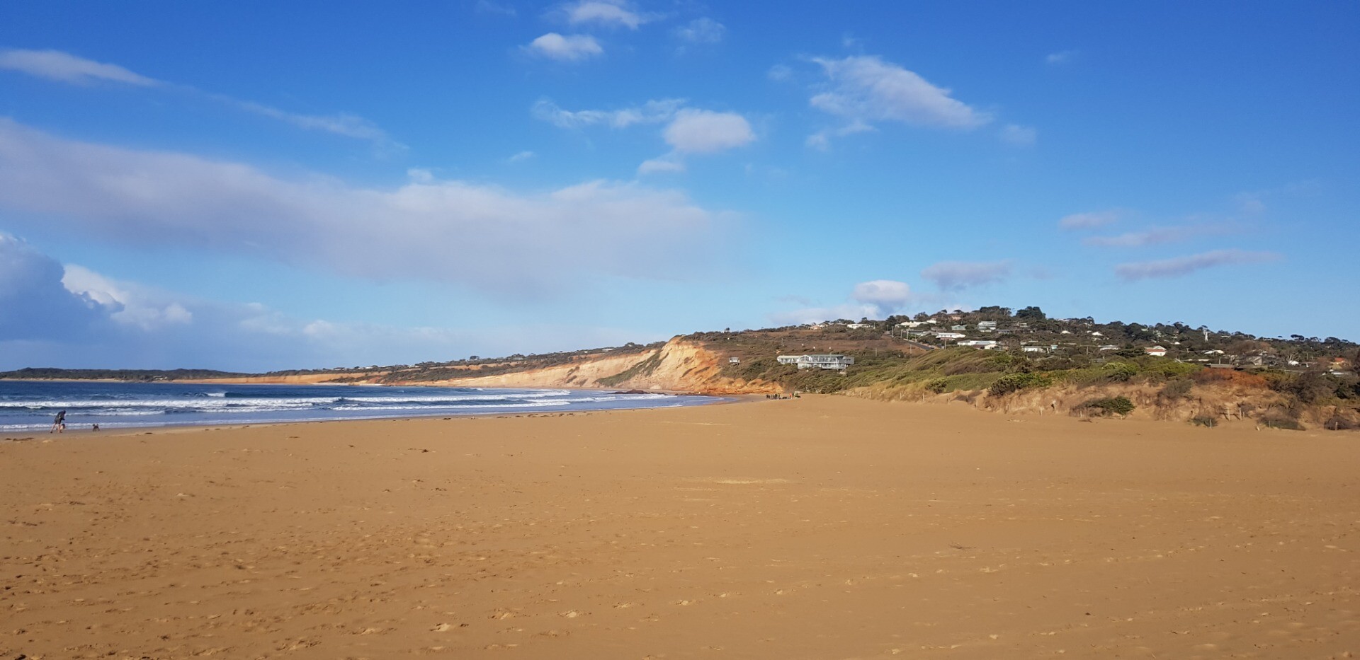
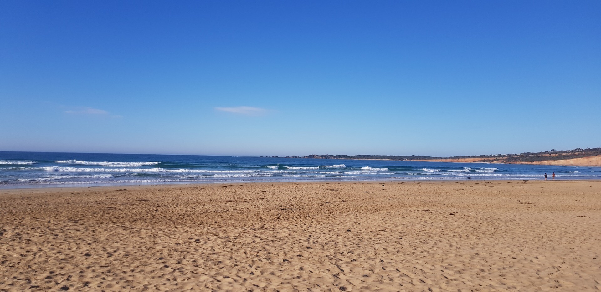
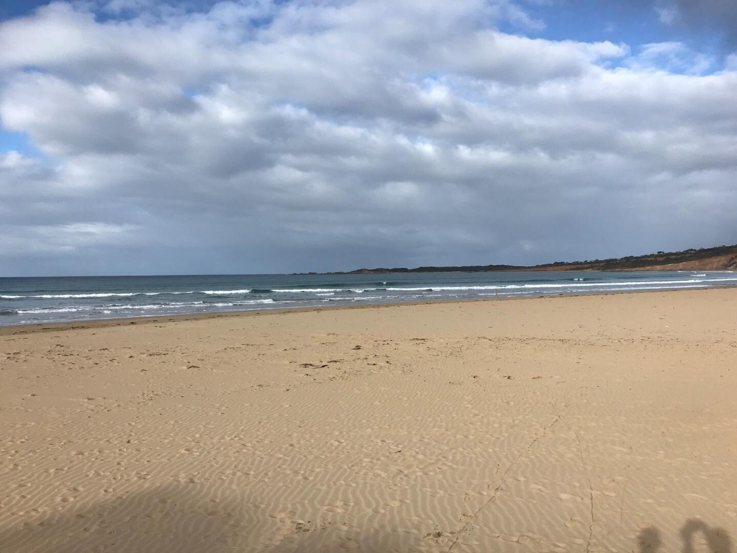
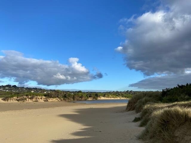
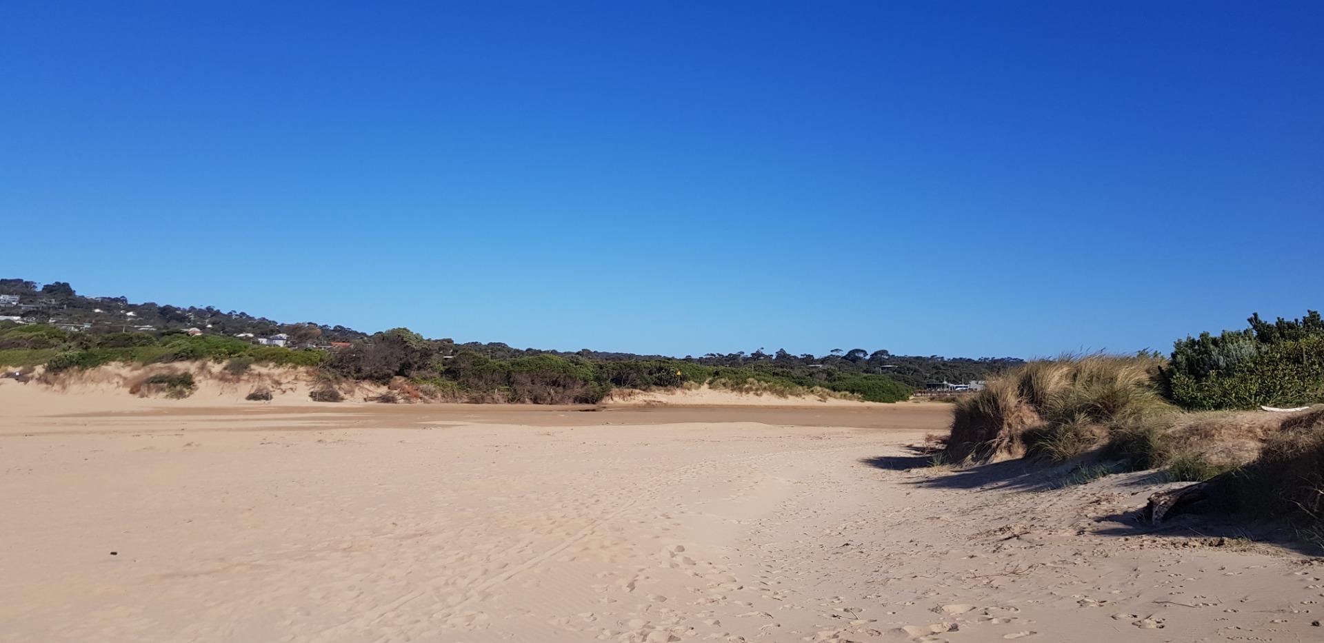
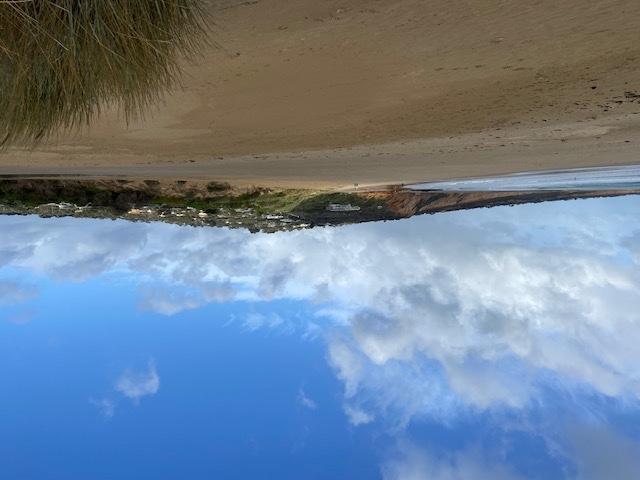
Photopoint Ap1 26-03-2024
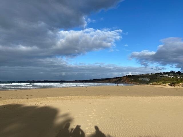
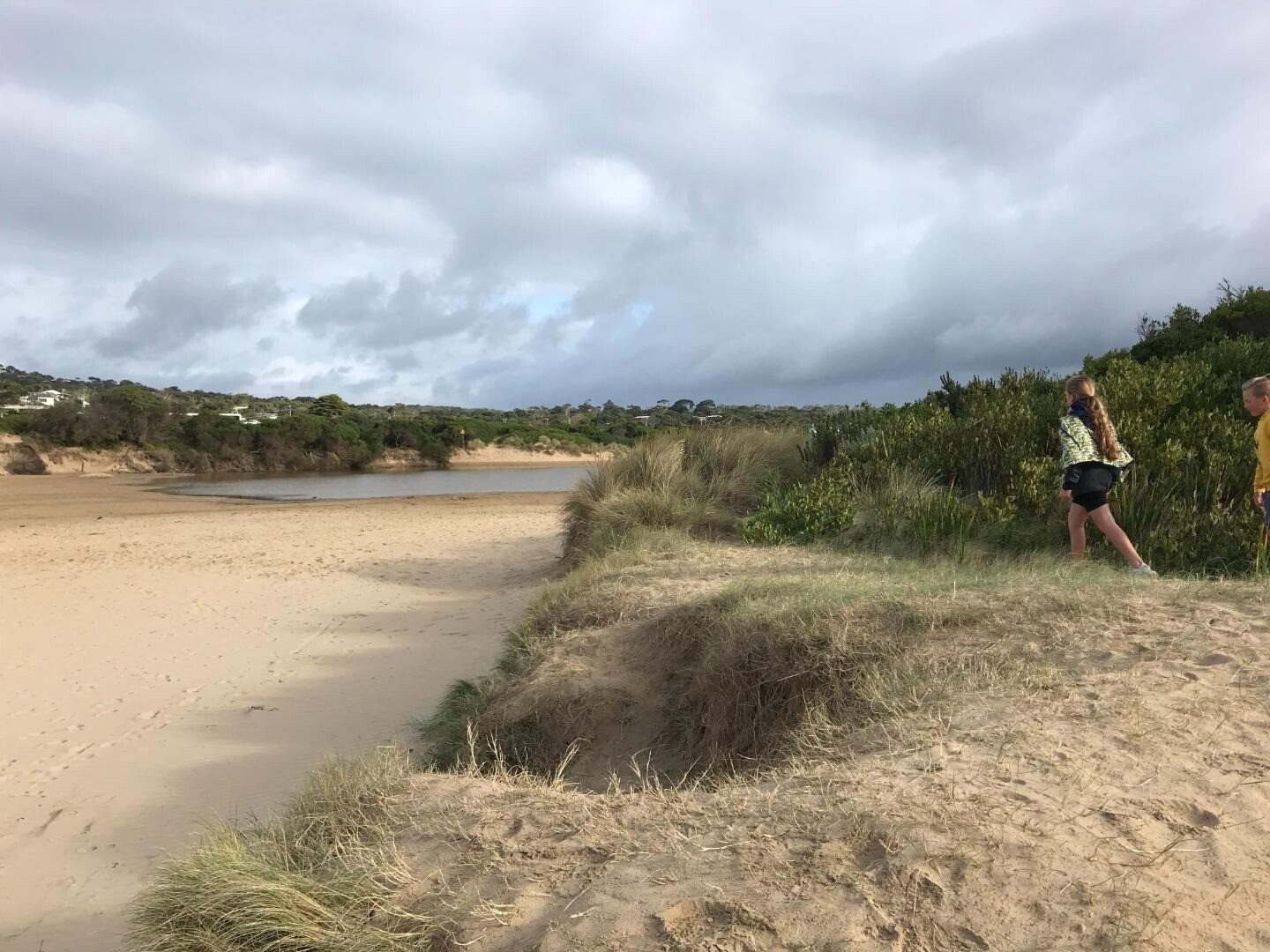
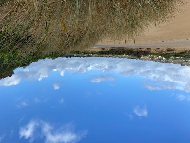
Photopoint Ap1 22-02-2024
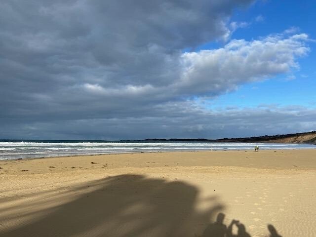
Photopoint Ap1 17-01-2024
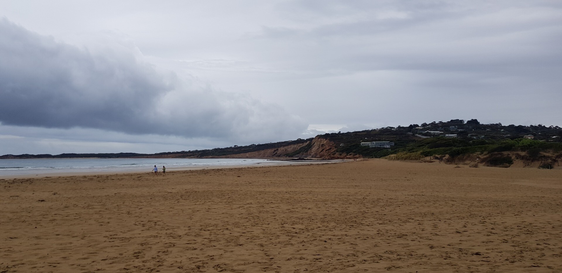
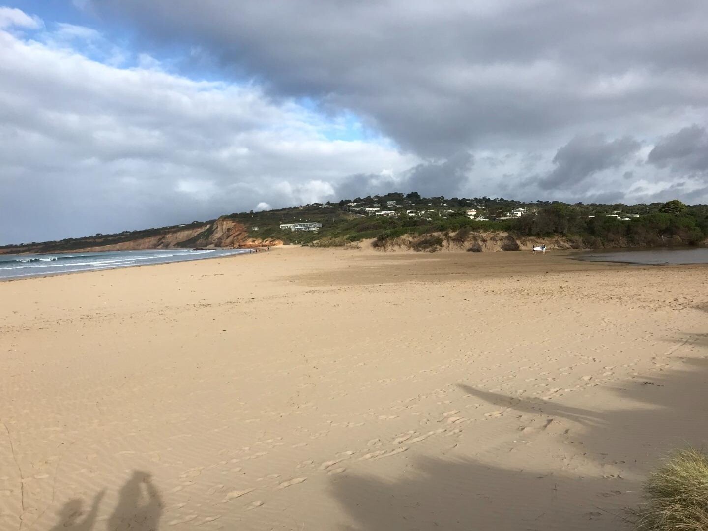
Photopoint Ap1 13-12-2023
Photopoint Ap1 11-12-2023
Photopoint Ap1 18-11-2023
Photopoint Ap1 17-11-2023
Photopoint Ap1 22-10-2023
Photopoint Ap1 25-09-2023
Photopoint Ap1 18-08-2023
Photopoint Ap1 26-06-2023

All content, files, data and images provided by the EstuaryWatch Data Portal and Gallery are subject to a Creative Commons Attribution License
Content is made available to be used in any way, and should always attribute EstuaryWatch and www.estuarywatch.org.au