EstuaryWatch Data Portal
Site details
Overview
| Estuary | Gellibrand River Estuary |
|---|---|
| CMA | Corangamite CMA |
| Type | Gauge Board |
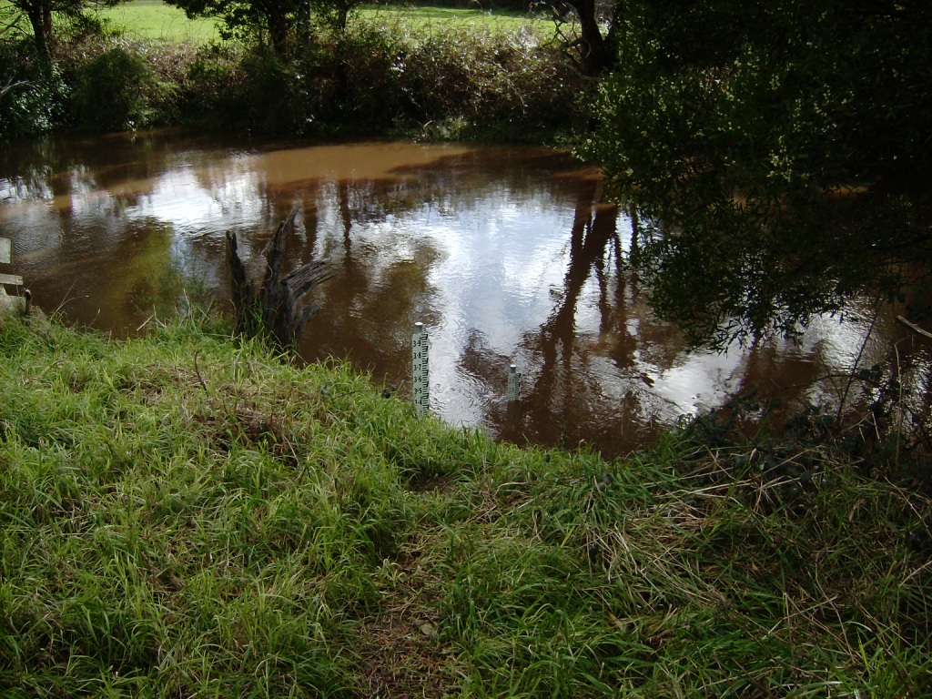
| Site code | G6GB |
| Site name | Gellibrand River (upstream) Water Level Gauge Board |
| Nearest road and town | Great Ocean Road, Lower Gellibrand |
| Description | Water level gauge board located on eastern river bank, downstream of Great Ocean Road bridge. |
| Site access | This site can be accessed from the driveway located on the downstream side of the Great Ocean Road bridge (eastern side of river). |
| Land use |
|
| Land use description | |
| Status | Inactive |
| Observation history | |
Gellibrand Upstream Water Level Gauge Board (not used in mouth condition monitoring process). |
|
NOTE: Gauge Board sites are for location reference and do not contain any observation data
View the Mouth Condition, Physical Chemical, or Photopoint sites for information on this Estuary
View the Mouth Condition, Physical Chemical, or Photopoint sites for information on this Estuary

All content, files, data and images provided by the EstuaryWatch Data Portal and Gallery are subject to a Creative Commons Attribution License
Content is made available to be used in any way, and should always attribute EstuaryWatch and www.estuarywatch.org.au