EstuaryWatch Data Portal
Site details
Overview
| Estuary | Erskine River Estuary |
|---|---|
| CMA | Corangamite CMA |
| Type | Photopoint |
| Site code | Ep4 |
| Site name | Erskine River Estuary Mouth Photopoint 4 |
| Nearest road and town | Lorne |
| Description | End of beach access track east of the swing bridge. |
| Site access | Follow the track from the swing bridge on the eastern side of the estuary. Take the first right hand turn to the beach. |
| Land use |
|
| Land use description | |
| Status | Active |
| Observation history | 16-07-2014 - 28-02-2022 |
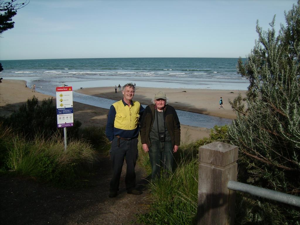
Top of the beach acess track. |
|
Photopoint photos
No photos found for the specified period

All content, files, data and images provided by the EstuaryWatch Data Portal and Gallery are subject to a Creative Commons Attribution License
Content is made available to be used in any way, and should always attribute EstuaryWatch and www.estuarywatch.org.au