EstuaryWatch Data Portal
Site details
Overview
| Estuary | Curdies River Estuary |
|---|---|
| CMA | Corangamite CMA |
| Type | Photopoint |
| Site code | Cup2 |
| Site name | Curdies Photopoint 2 |
| Nearest road and town | Great Ocean Road,Princetown |
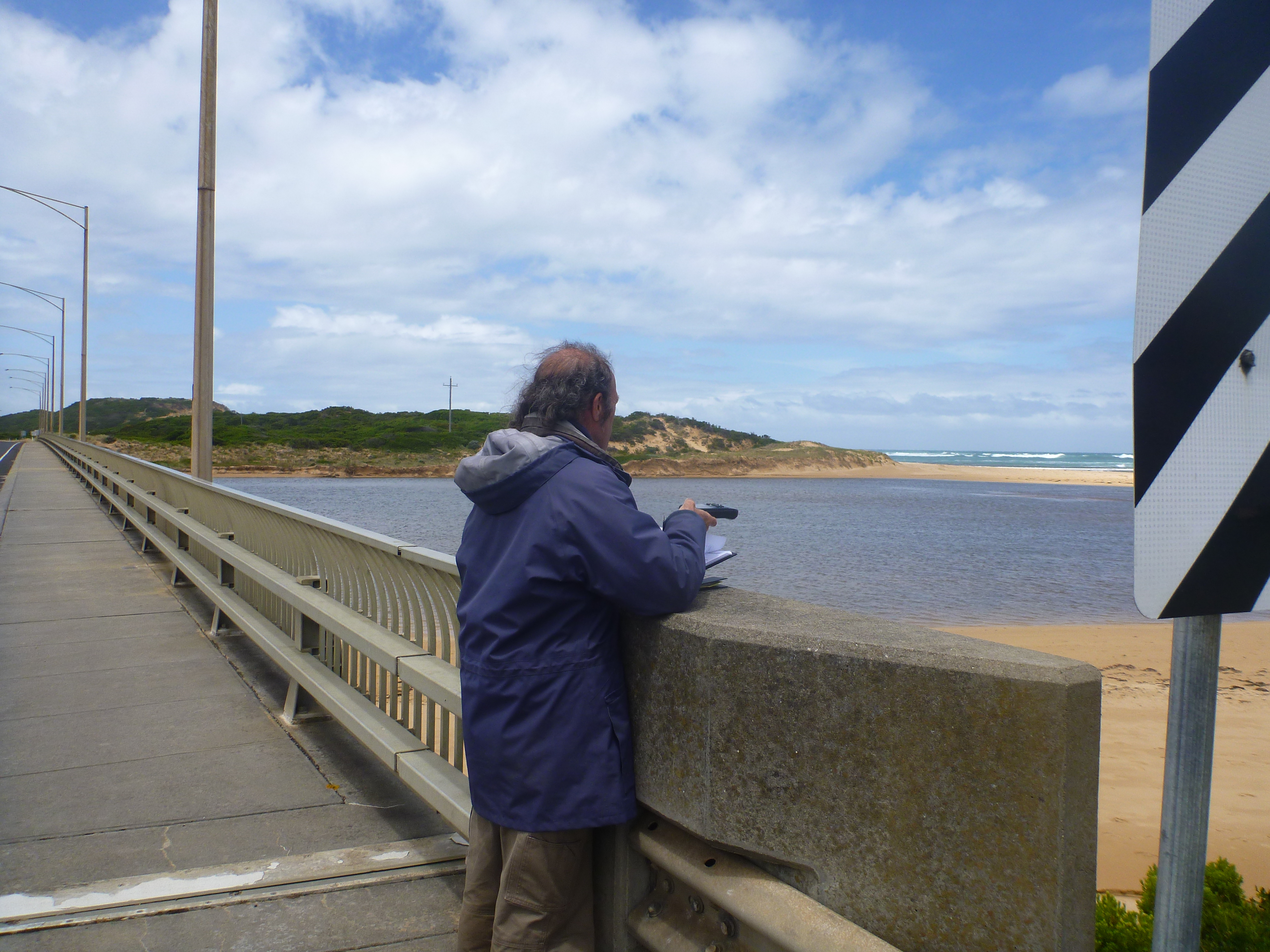
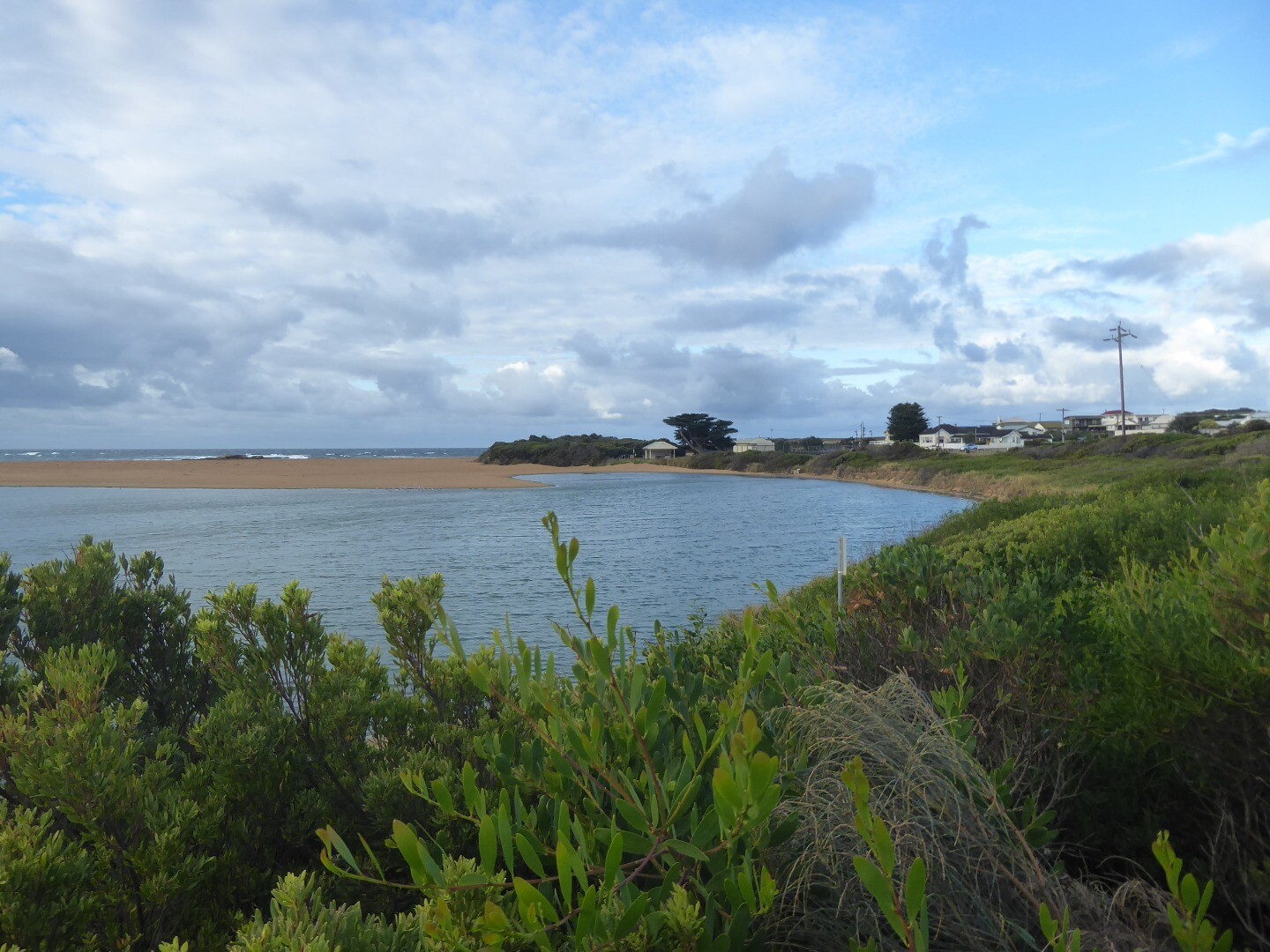
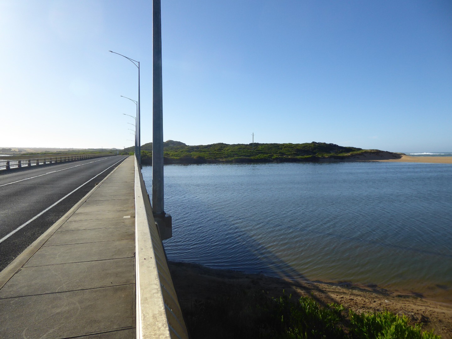
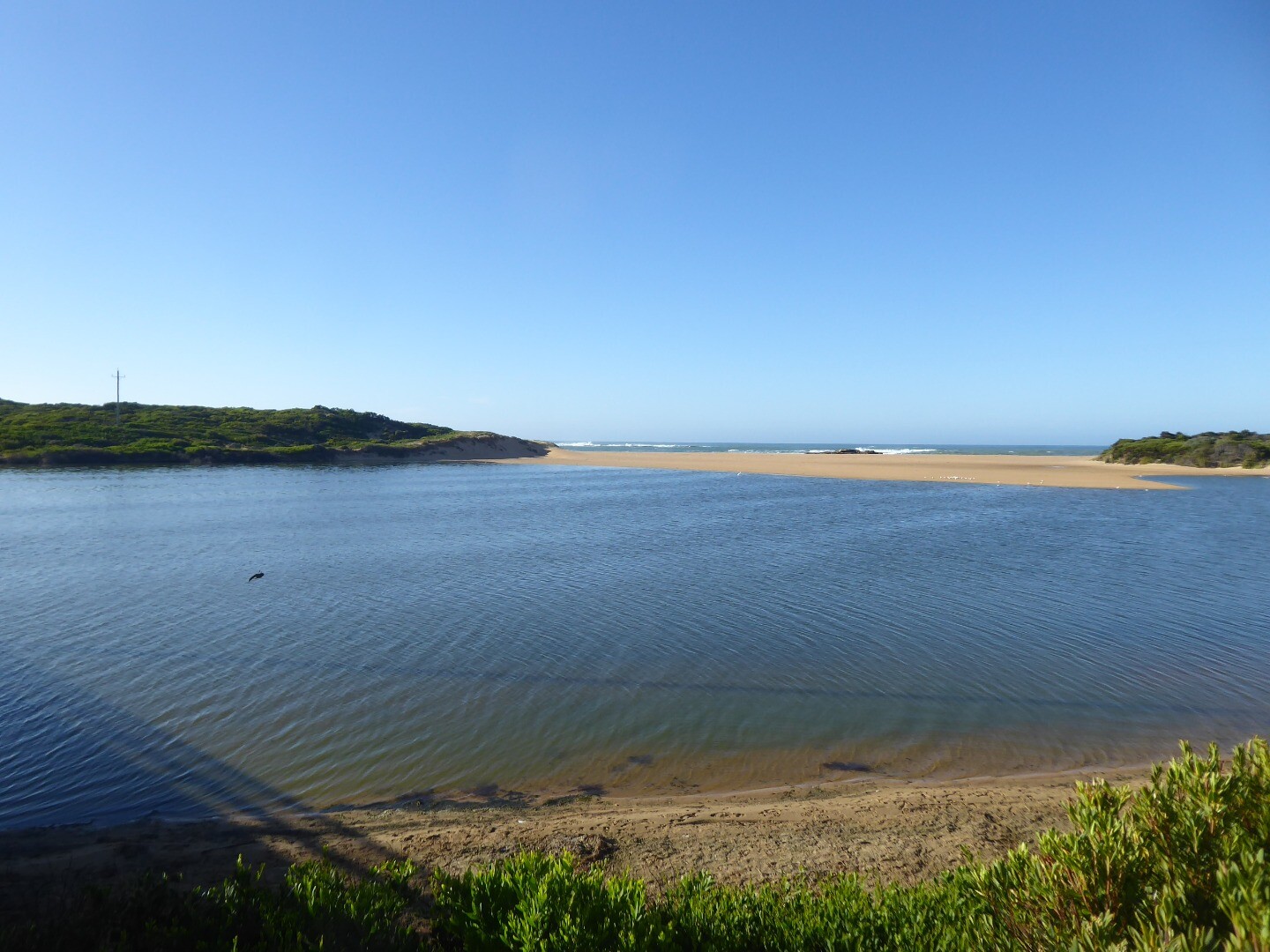
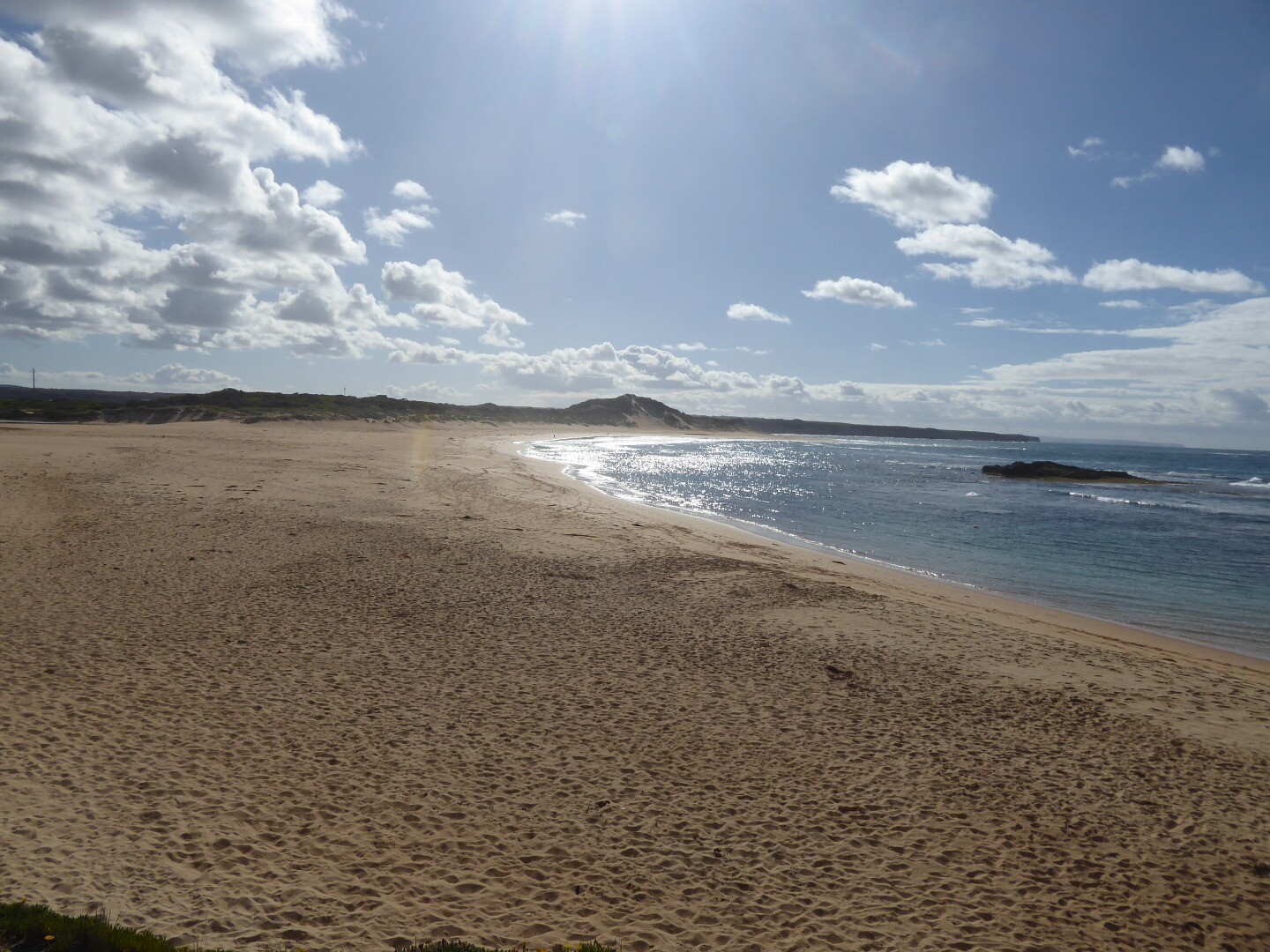
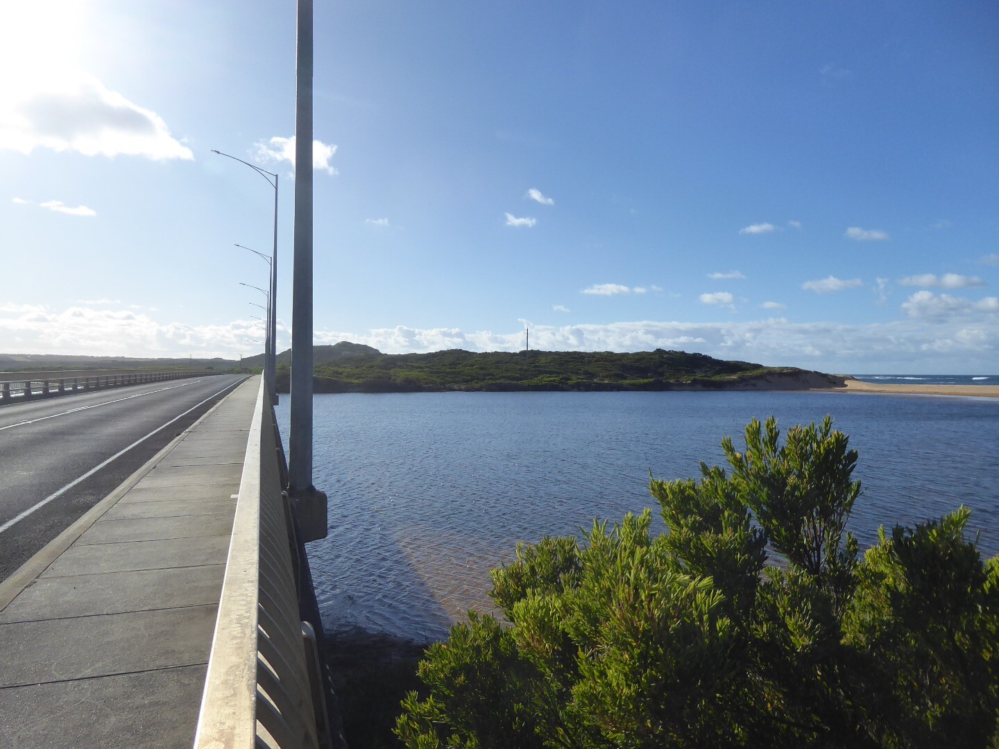
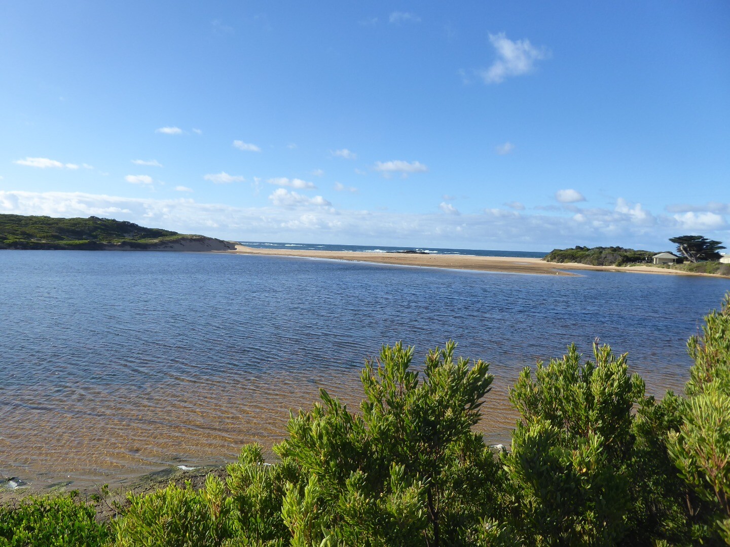
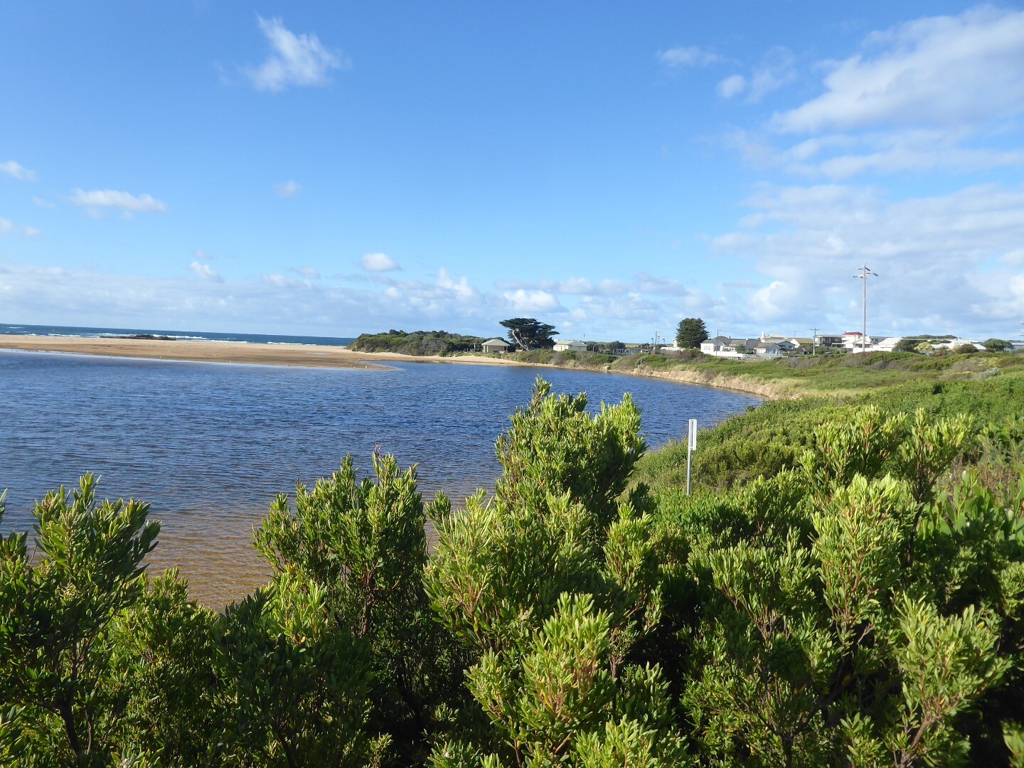
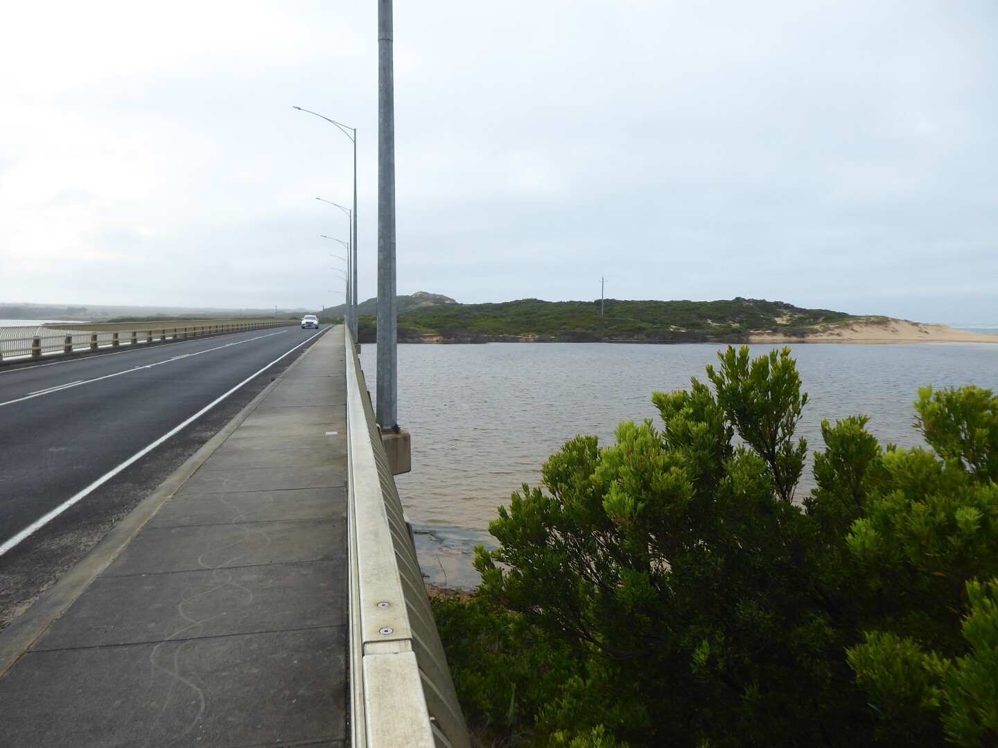
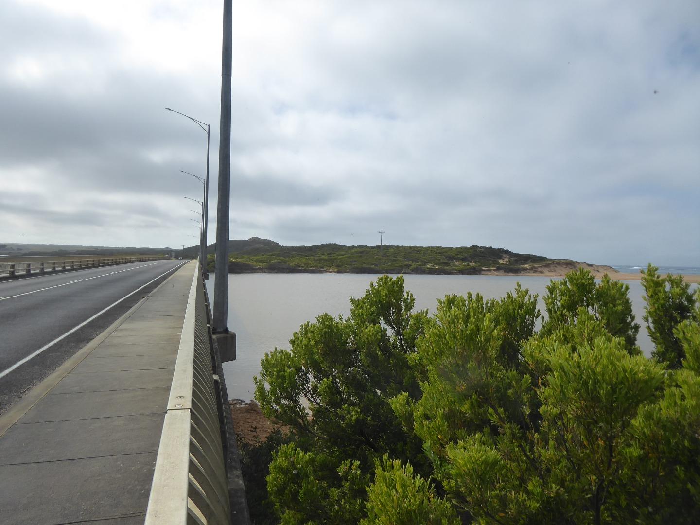
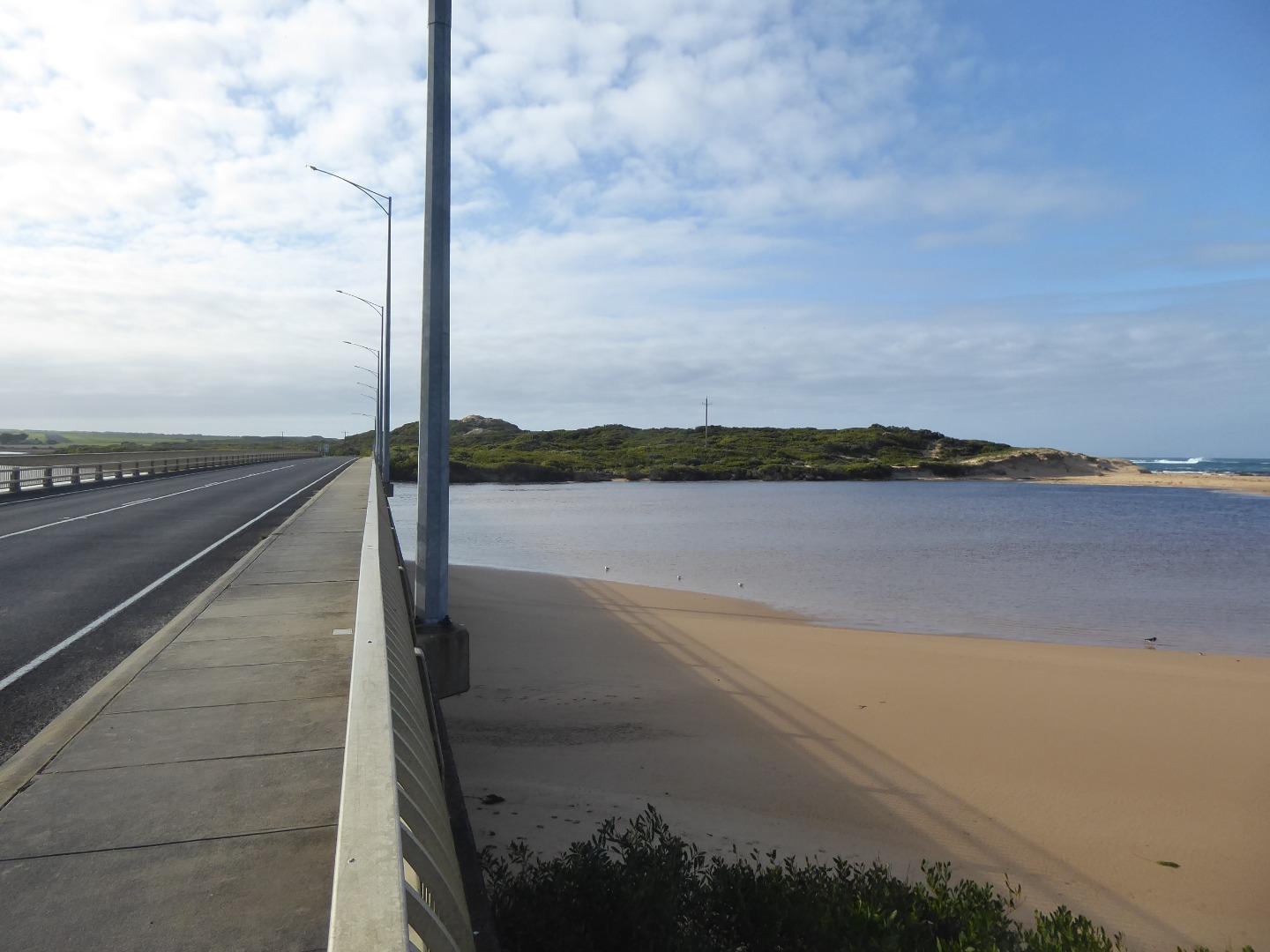
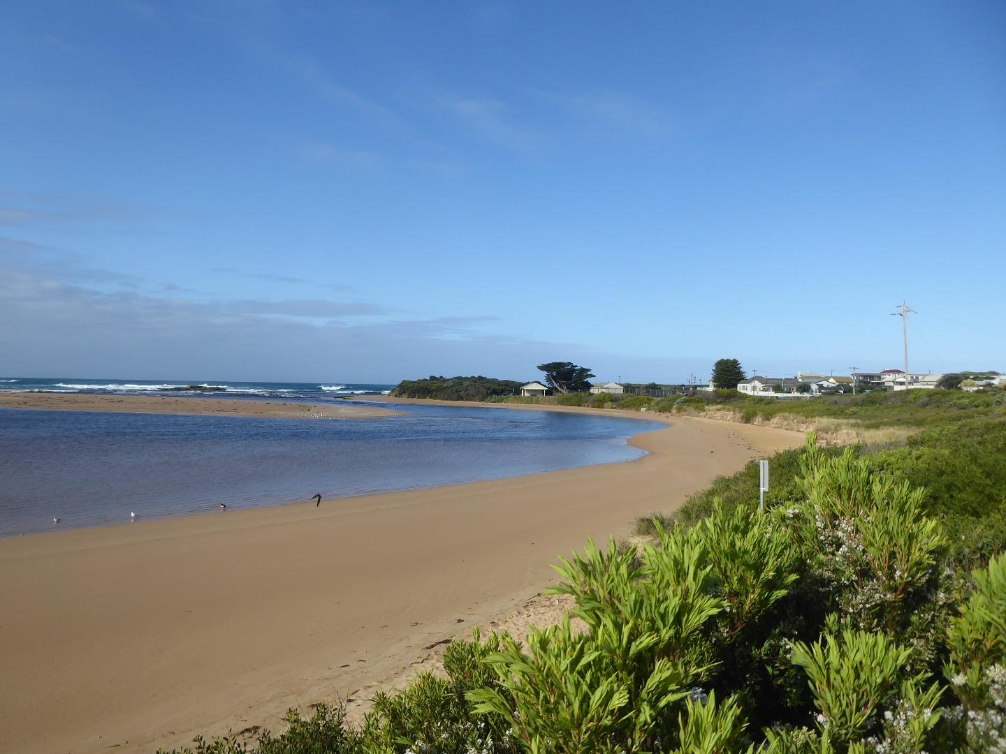
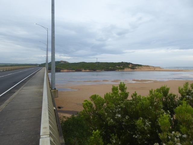
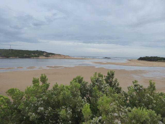
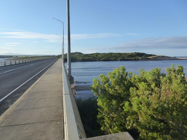
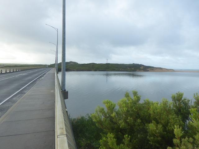
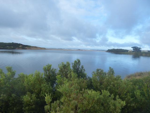
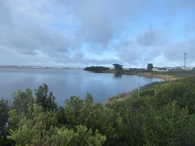
| Description | Concrete pylon at the start of the Great Ocean Road Bridge on the western side. |
| Site access | Park at the northern end of Irvine Rd. Walk to the western end of the GOR bridge. The photos are taken on the ocean side of the bridge on the first large concrete pylon as you approach from the west. |
| Land use |
|
| Land use description | |
| Status | Active |
| Observation history | 14-05-2014 - 04-04-2024 |
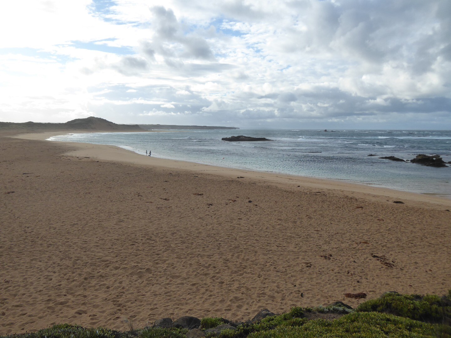
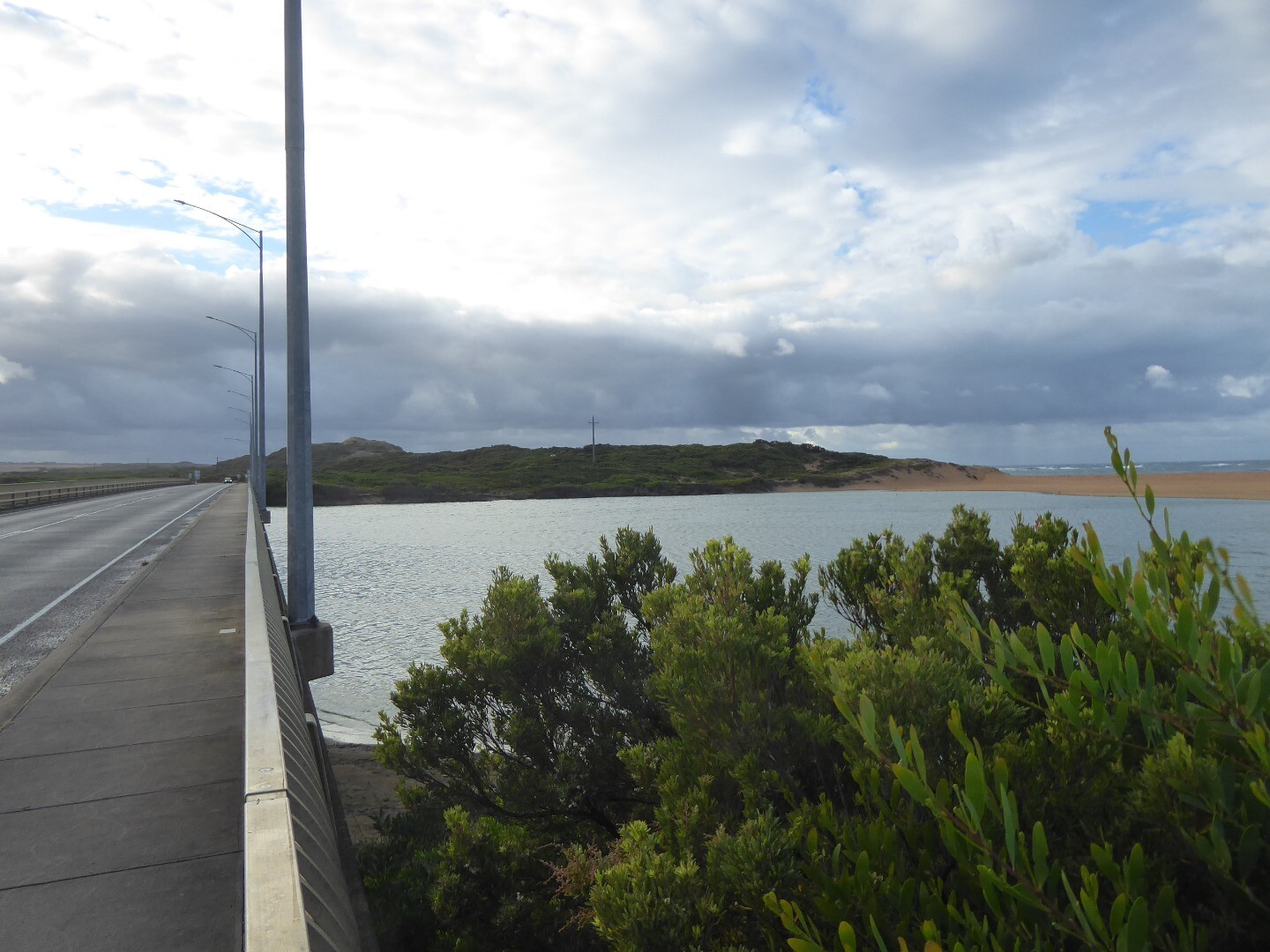
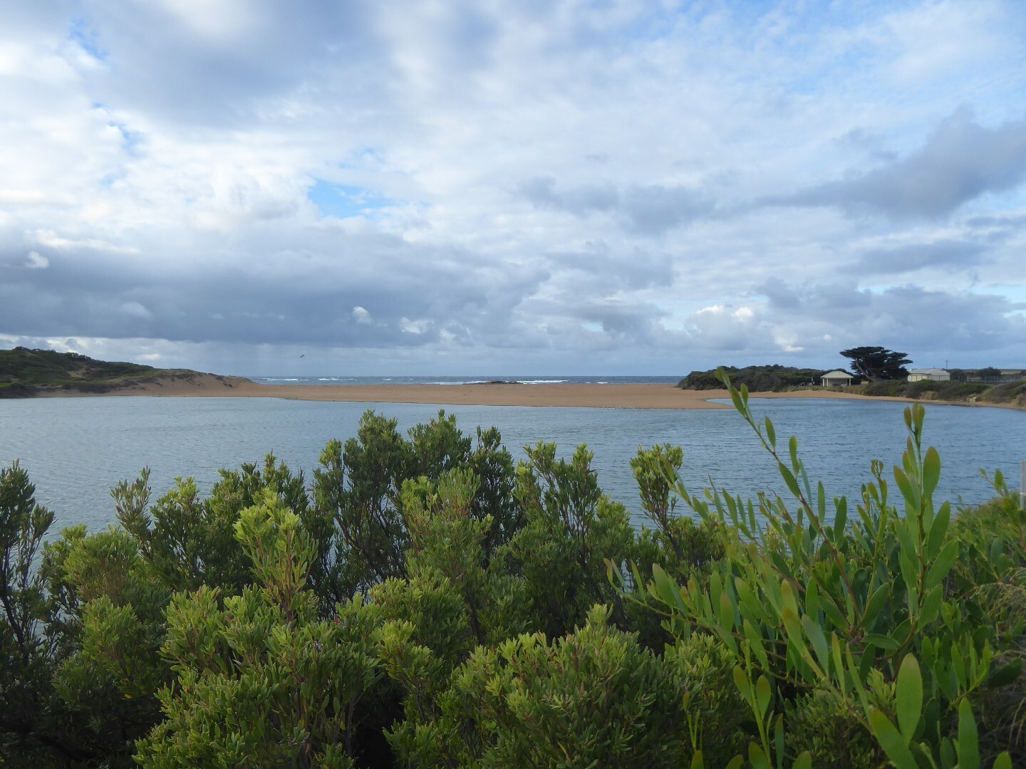
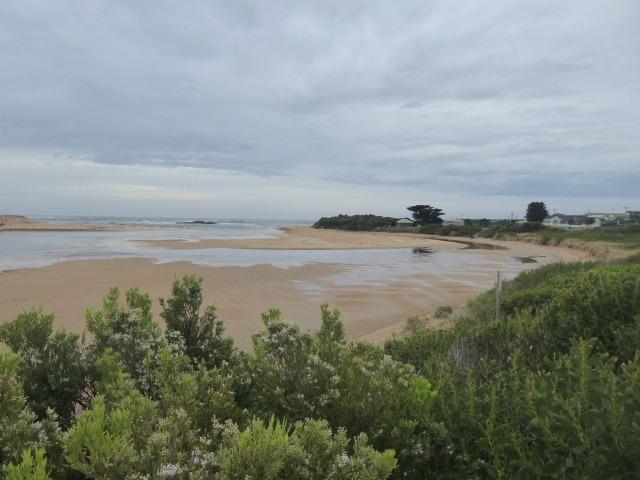
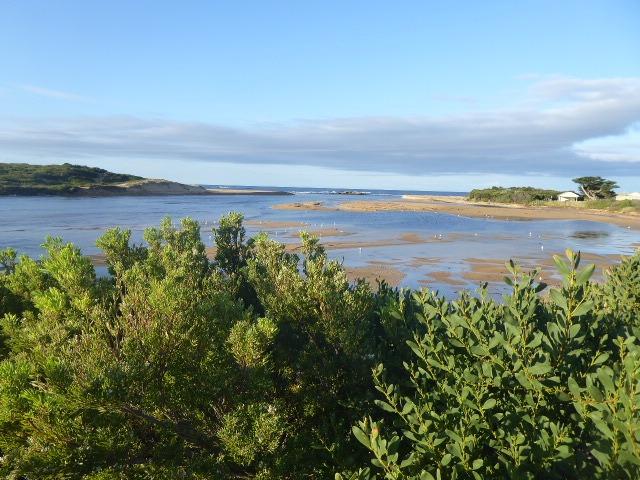
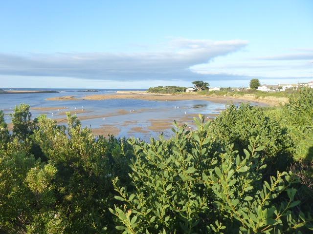
Curdies Photopoint 2 |
|
Photopoint photos
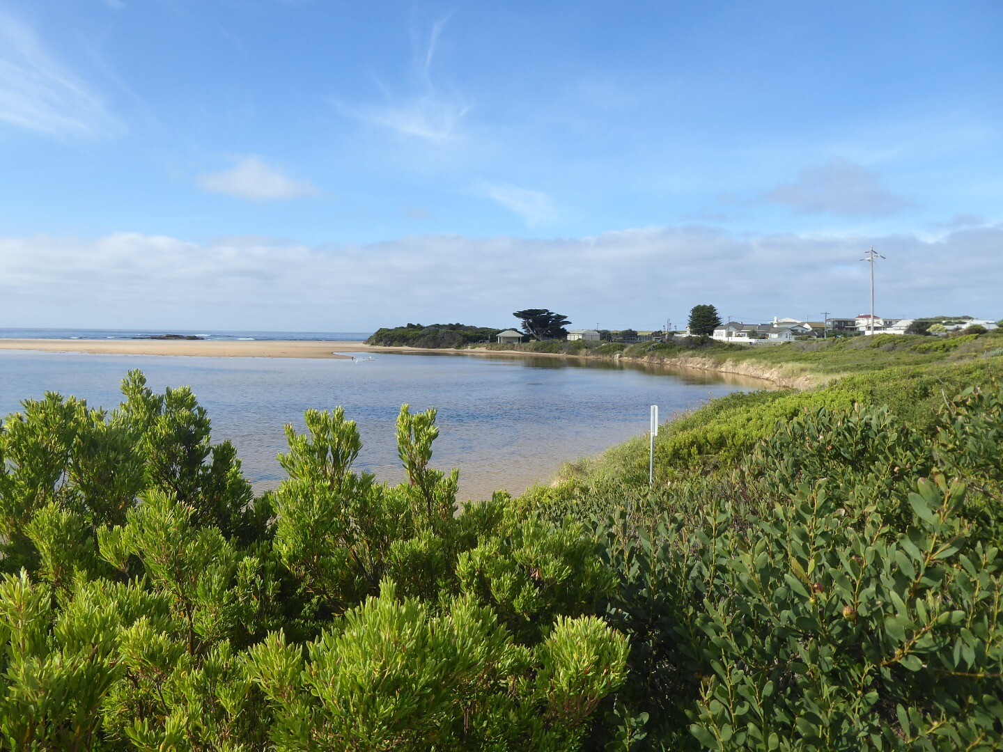
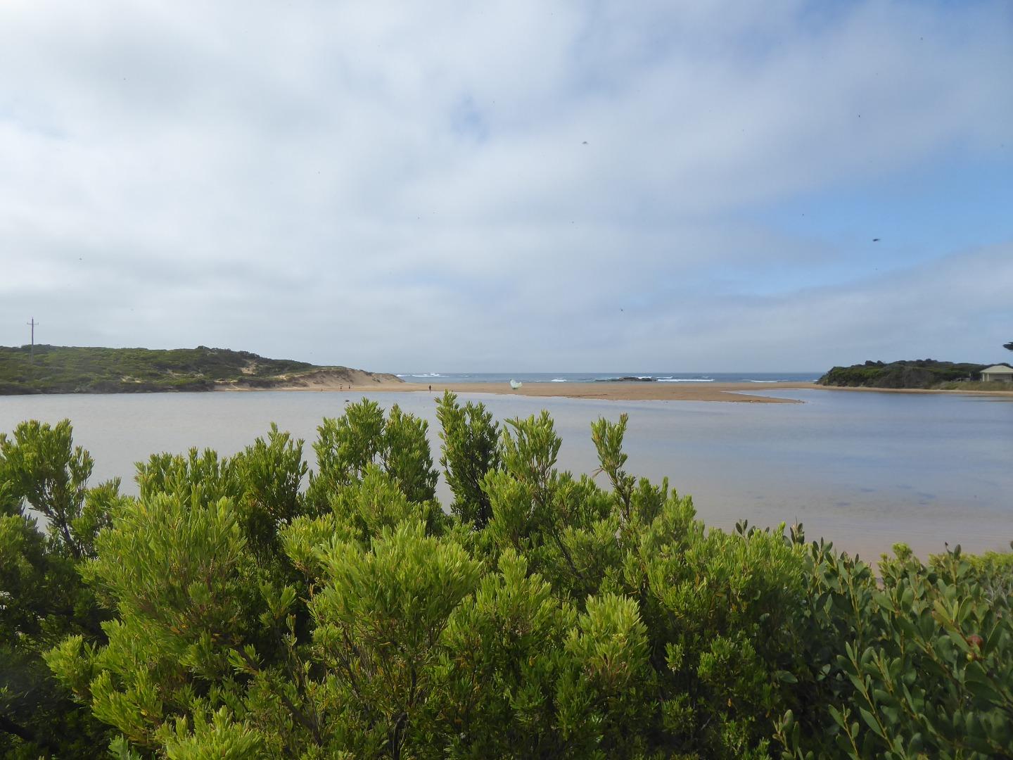
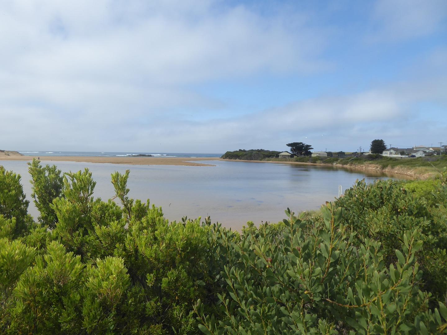
Photopoint Cup2 04-04-2024
Photopoint Cup2 05-03-2024
Photopoint Cup2 08-02-2024
Photopoint Cup2 02-01-2024
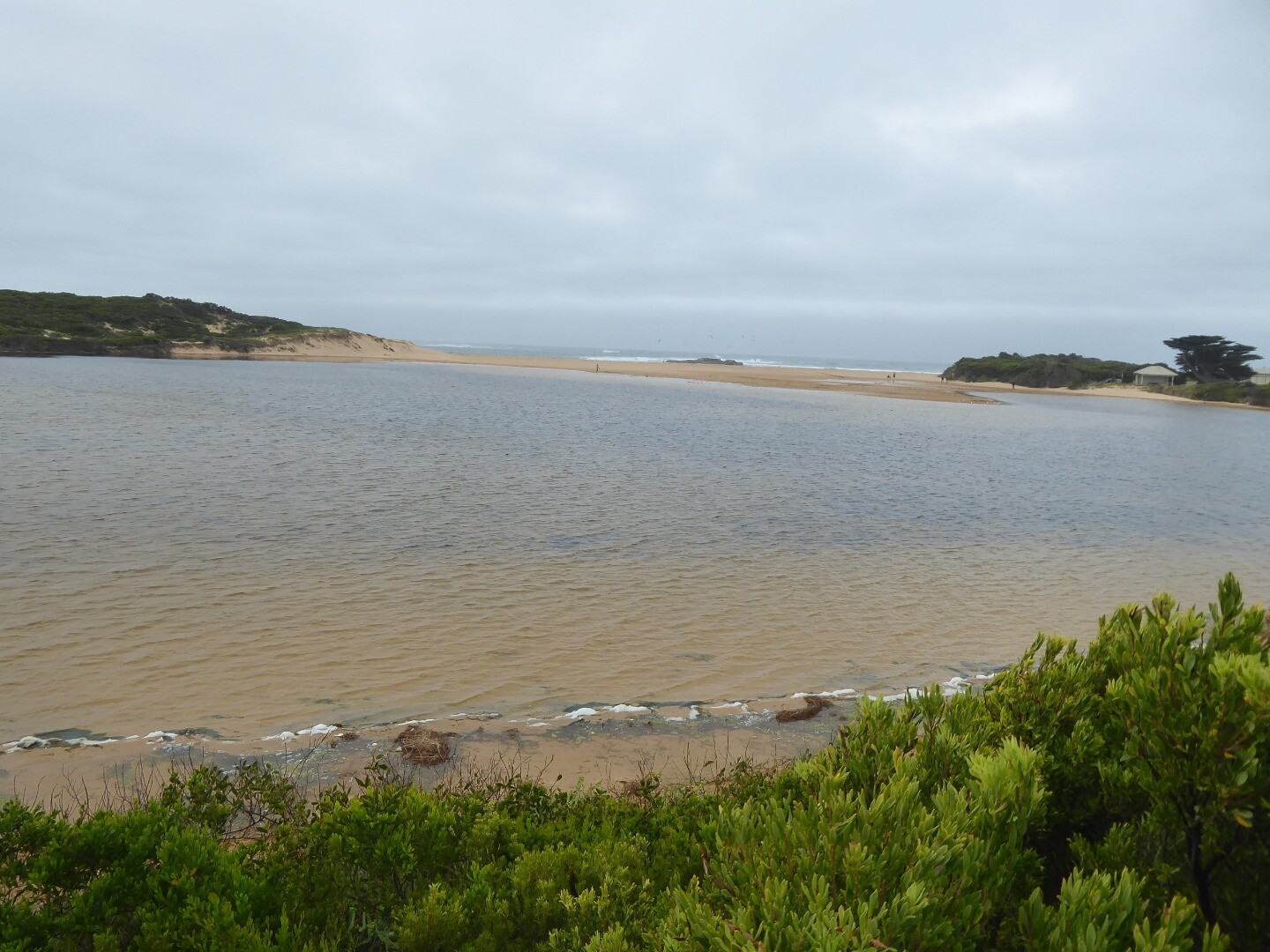
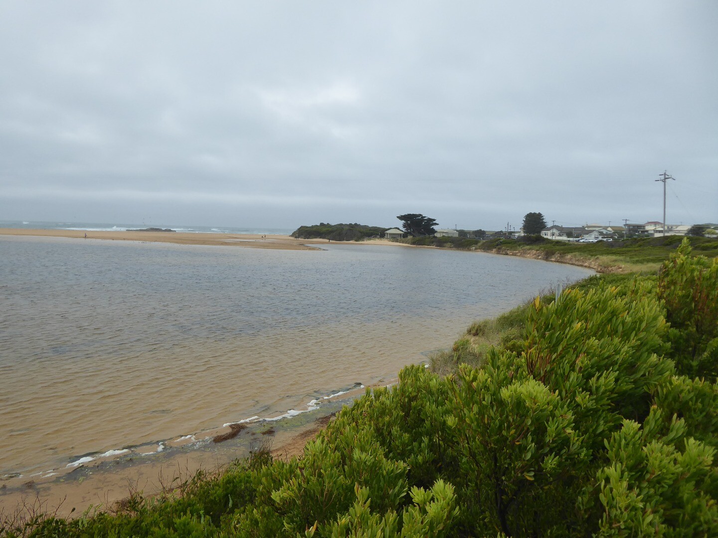
Photopoint Cup2 06-12-2023
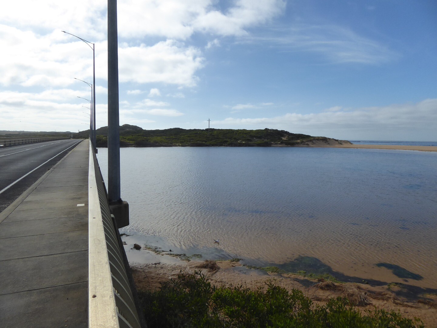
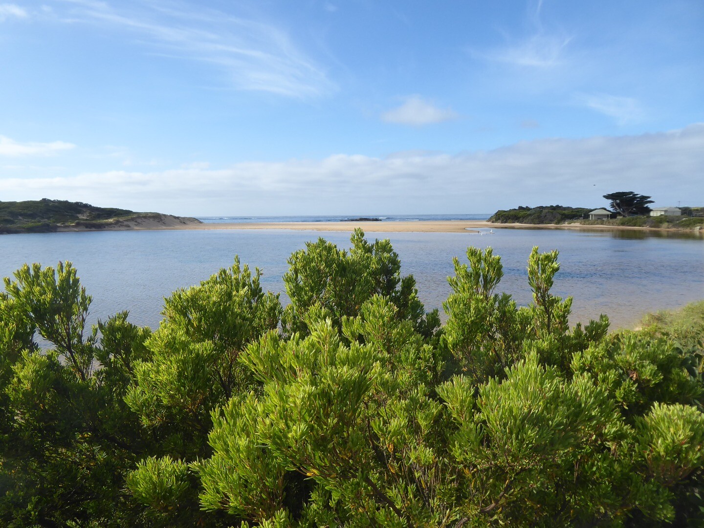
Photopoint Cup2 07-11-2023
Photopoint Cup2 06-09-2023

Photopoint Cup2 04-07-2023
Photopoint Cup2 07-06-2023
Photopoint Cup2 03-05-2023

All content, files, data and images provided by the EstuaryWatch Data Portal and Gallery are subject to a Creative Commons Attribution License
Content is made available to be used in any way, and should always attribute EstuaryWatch and www.estuarywatch.org.au