EstuaryWatch Data Portal
T2 Blackgate Road Pedestrian Bridge
Site details
Overview
| Estuary | Thompson Creek Estuary |
|---|---|
| CMA | Corangamite CMA |
| Type | Physico-Chemical |
| Site code | T2 |
| Site name | Blackgate Road Pedestrian Bridge |
| Nearest road and town | Breamlea. Blackgate Road. |
| Description | The walkbridge over Thompson Creek which runs adjacent to Blackgate Road. |
| Site access | Drive along Blackgate Road and park in the pullover area adjacent to the walkbridge. |
| Land use |
|
| Land use description | |
| Status | Active |
| Observation history | 03-10-2007 - 16-07-2023 |
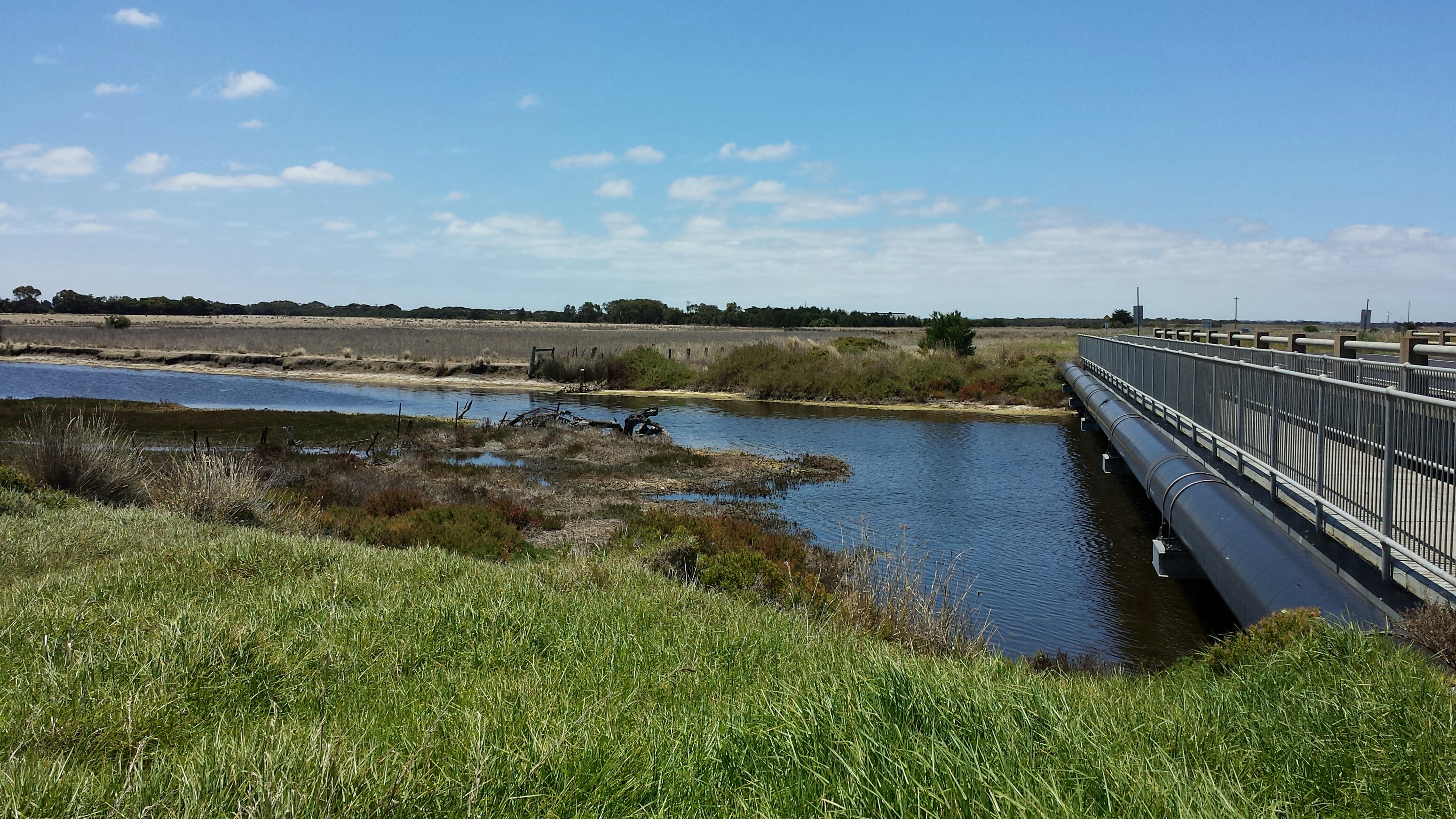
Picture of Monitoring Site T2. |
|
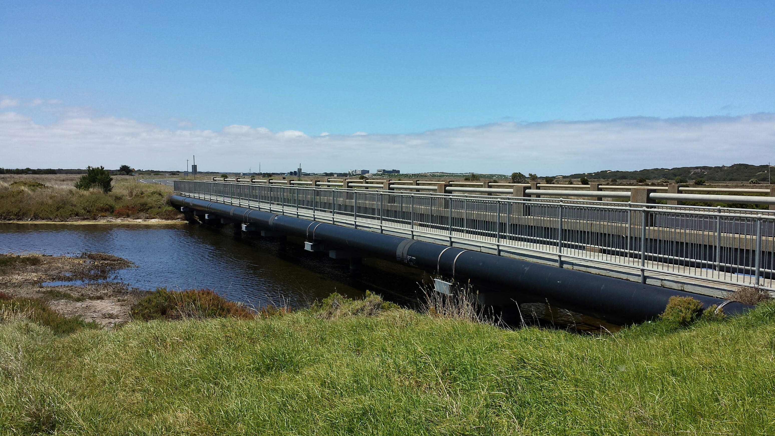
Picture of Monitoring Site T2. |
|

All content, files, data and images provided by the EstuaryWatch Data Portal and Gallery are subject to a Creative Commons Attribution License
Content is made available to be used in any way, and should always attribute EstuaryWatch and www.estuarywatch.org.au