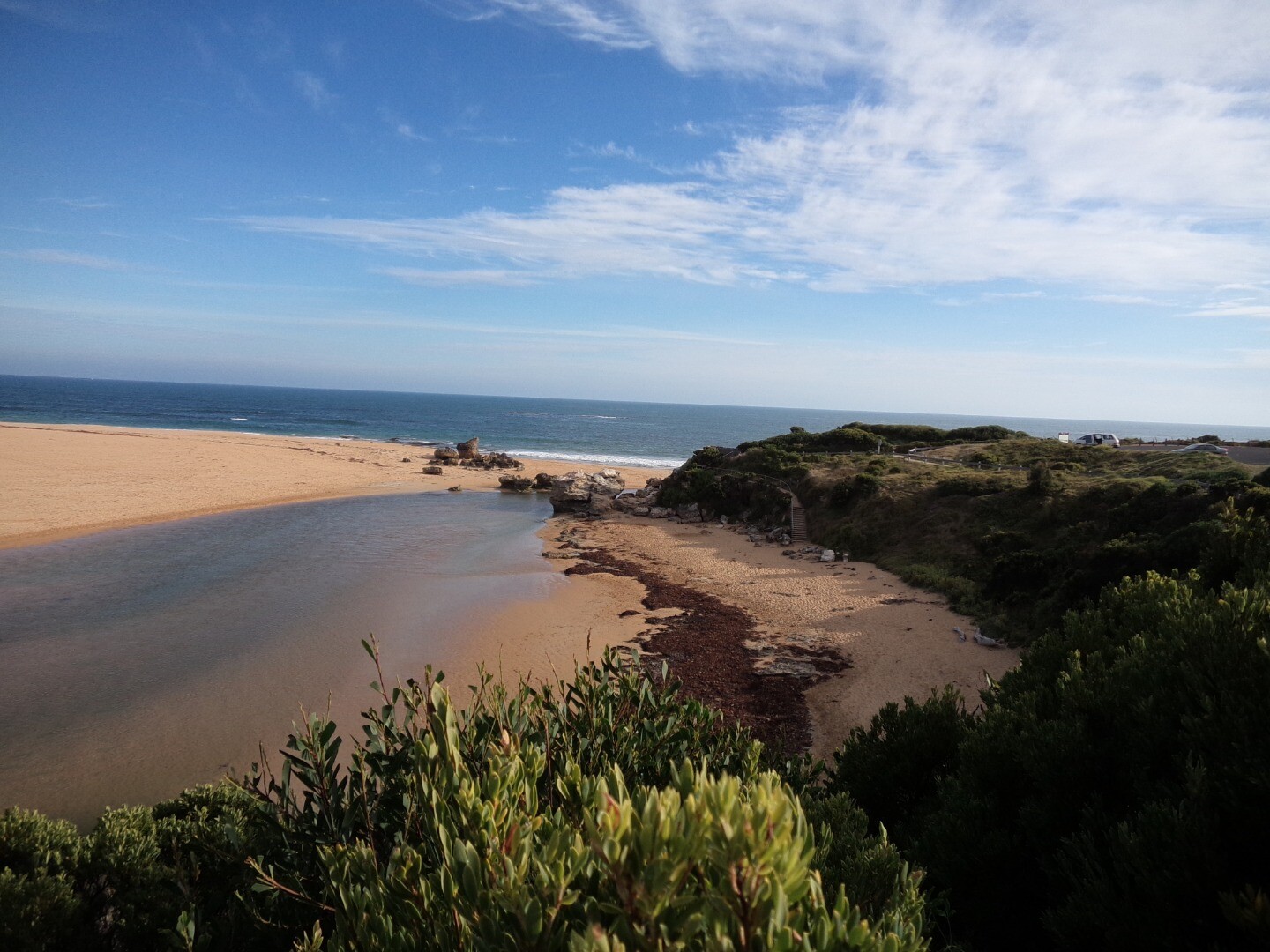
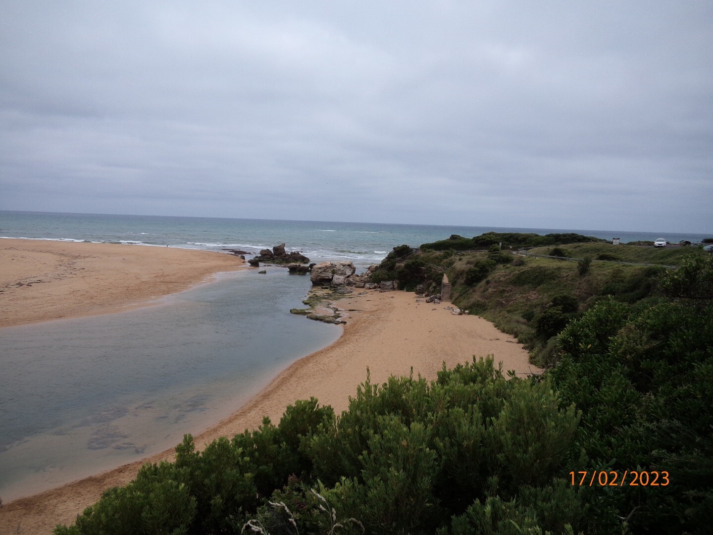
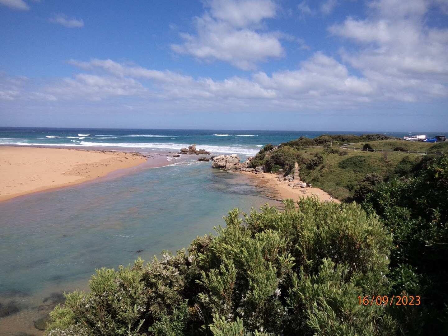
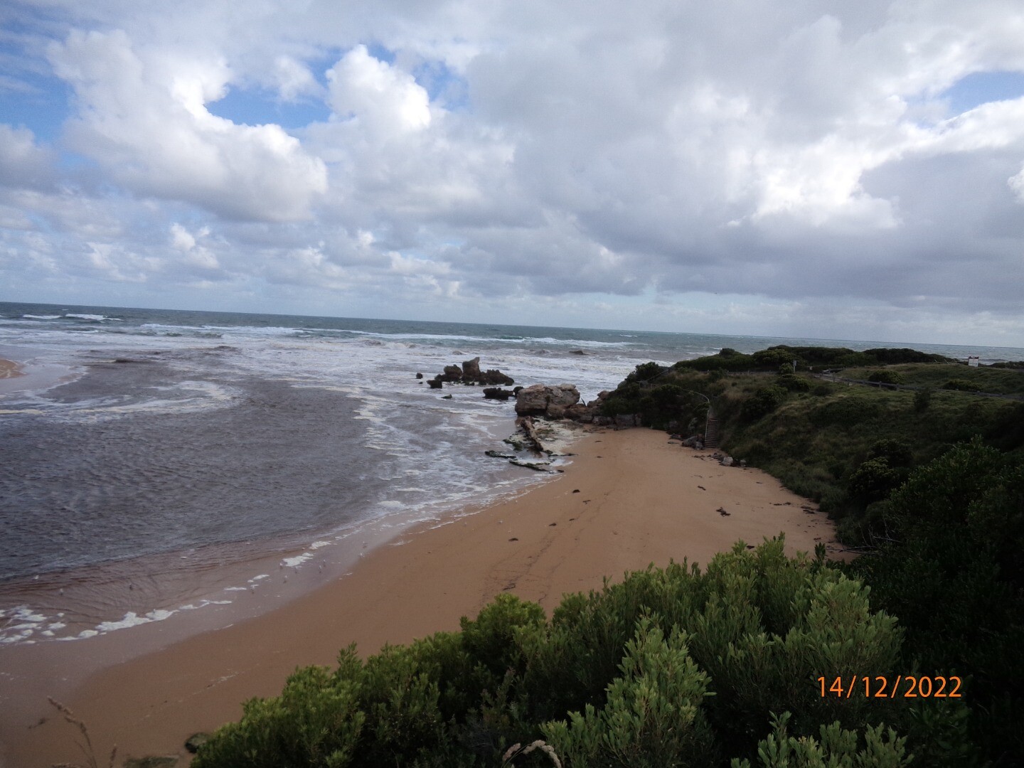
EstuaryWatch Data Portal
Site details
Overview
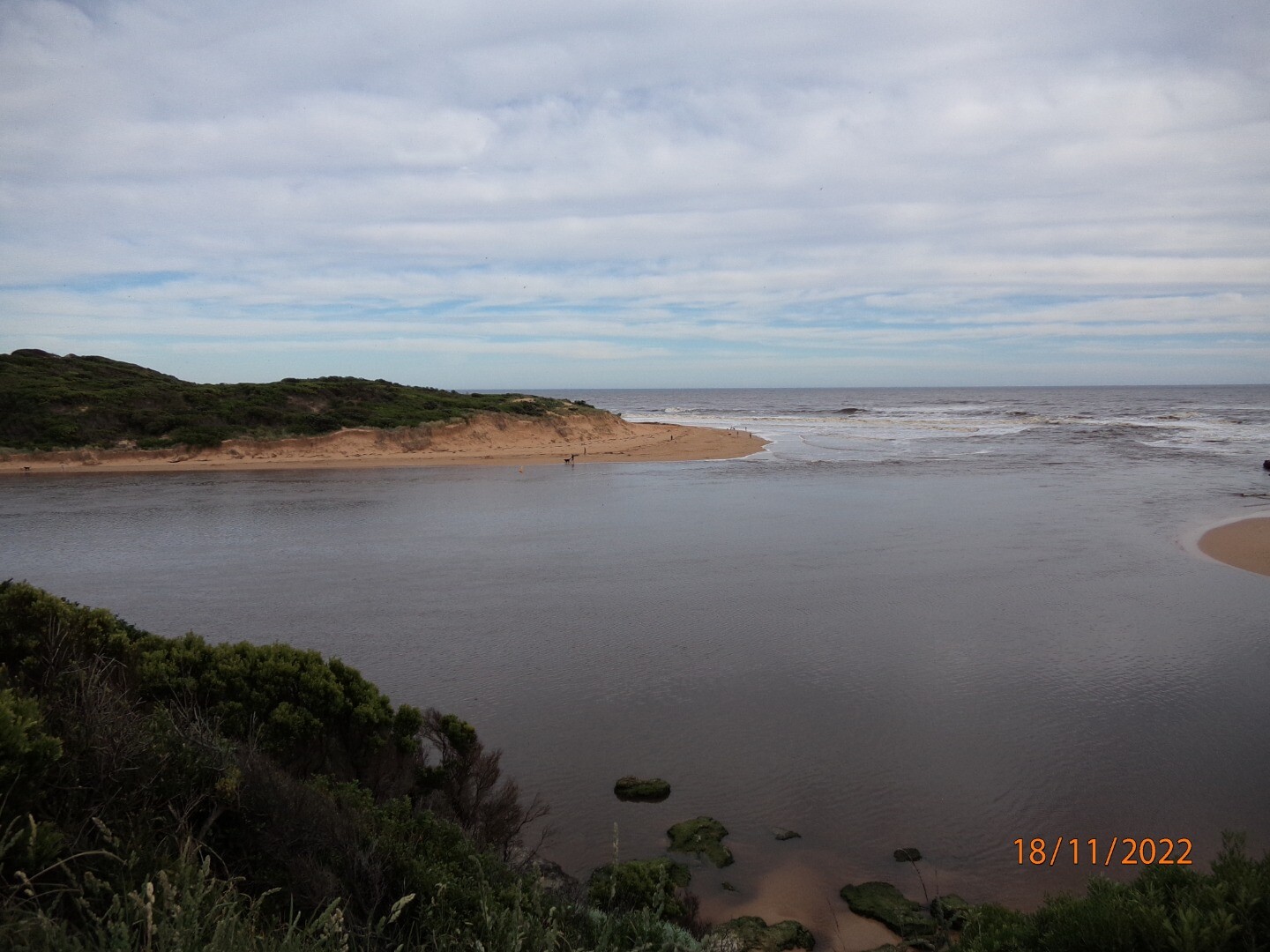
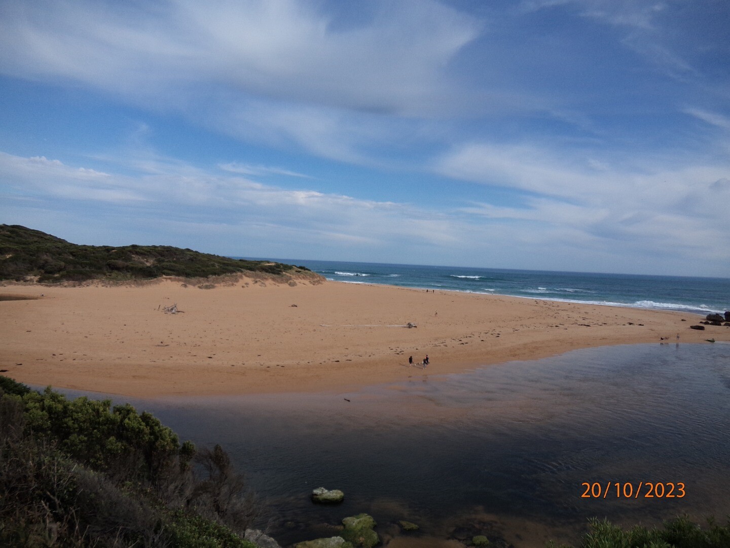
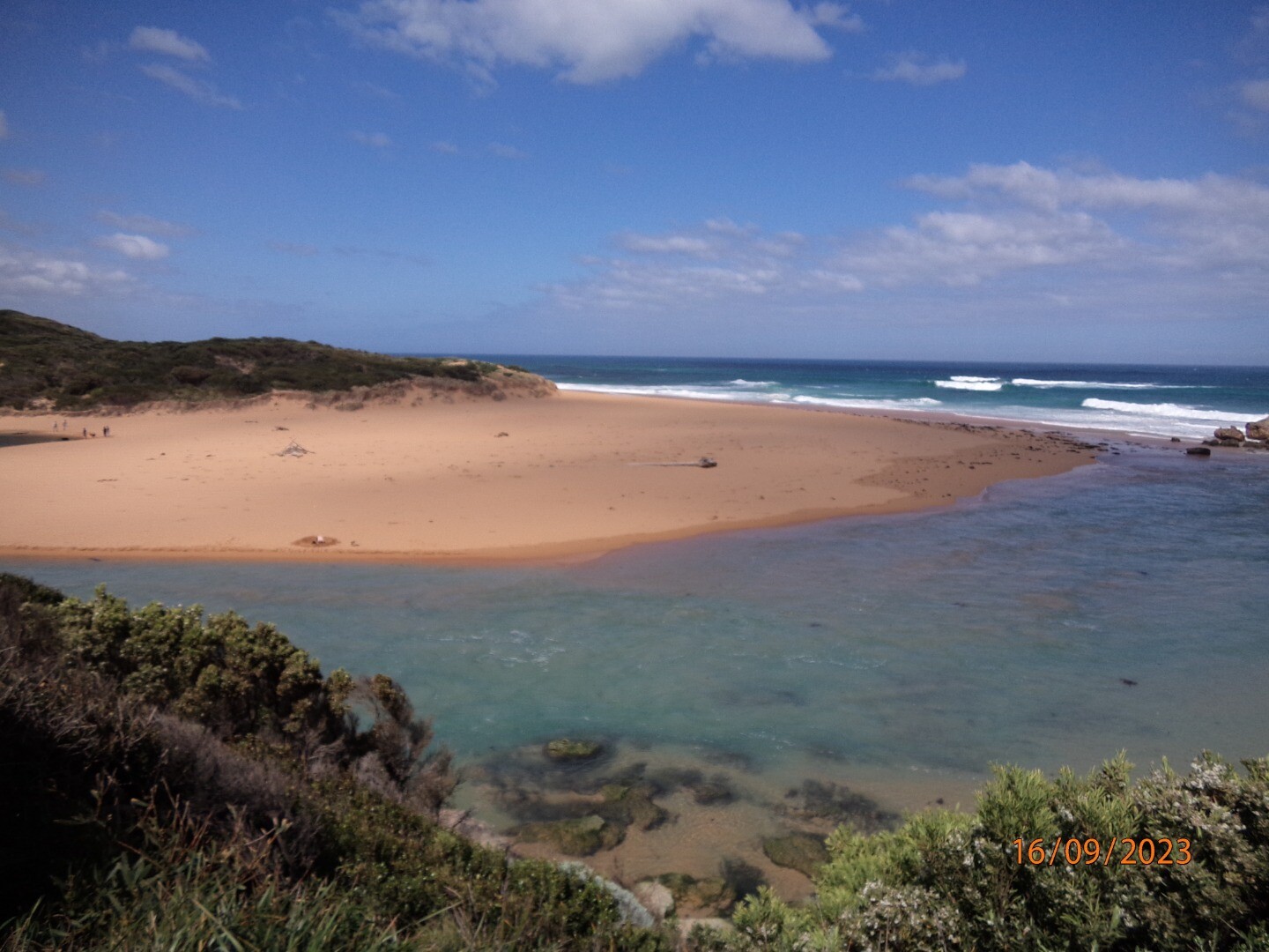
| Estuary | Hopkins River Estuary |
|---|---|
| CMA | Glenelg Hopkins CMA |
| Type | Photopoint |
| Site code | Hp1 |
| Site name | Hopkins River Photopoint Site One |
| Nearest road and town | Hopkins River Mouth Road, Warrnambool. |
| Description | Small cleared area located on the western side of the river mouth. |
| Site access | Park in the first carpark found along Hopkins River Mouth Road, then head east down the footpath located on the inland side of the carpark, towards the river. The cleared area is located at the end of this path. |
| Land use |
|
| Land use description | Coastal bushland reserve. |
| Status | Active |
| Observation history | 06-12-2012 - 16-11-2023 |

Volunteers standing at site location. |
|
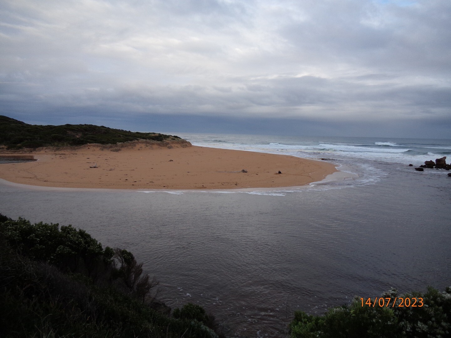
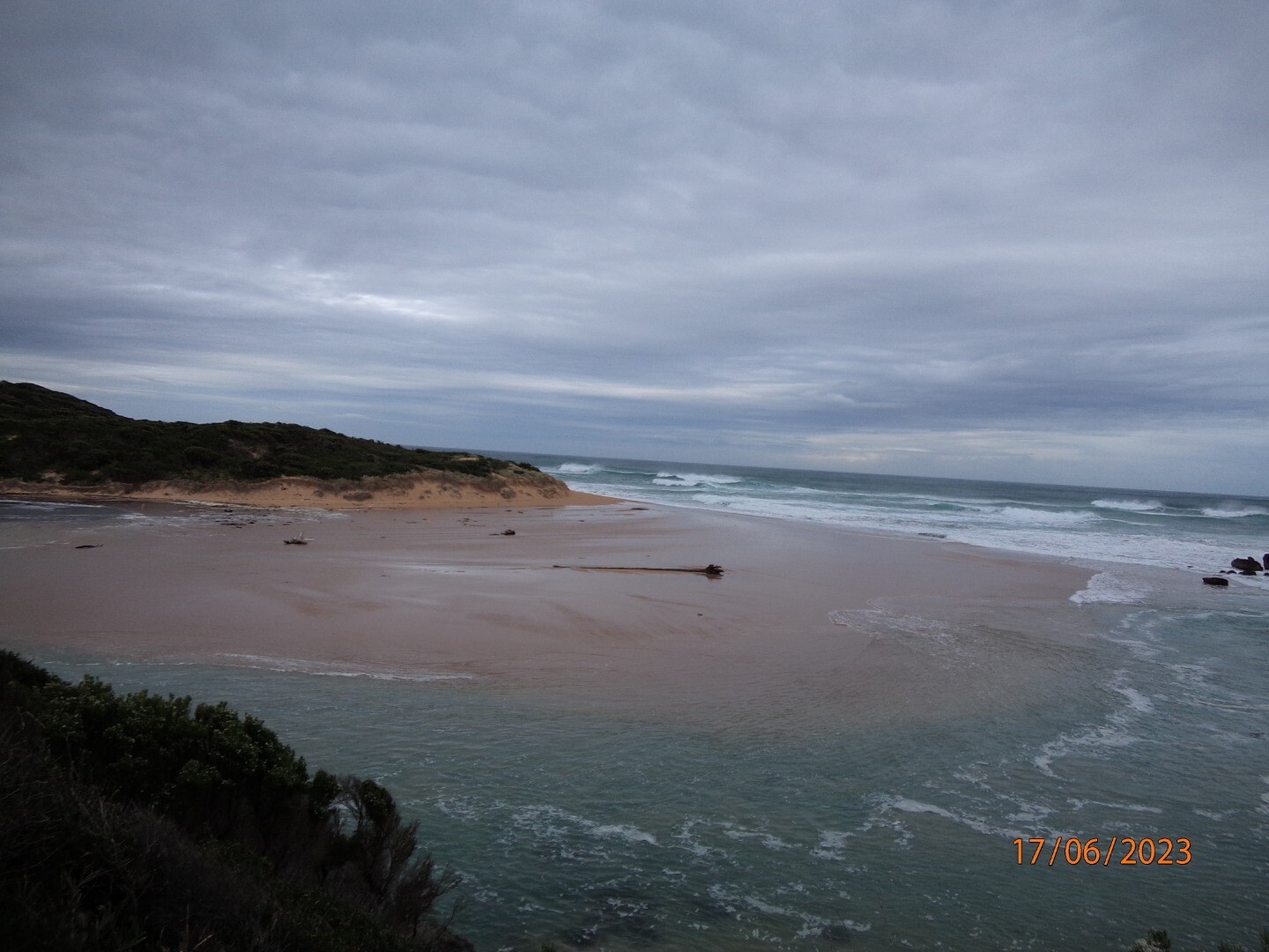
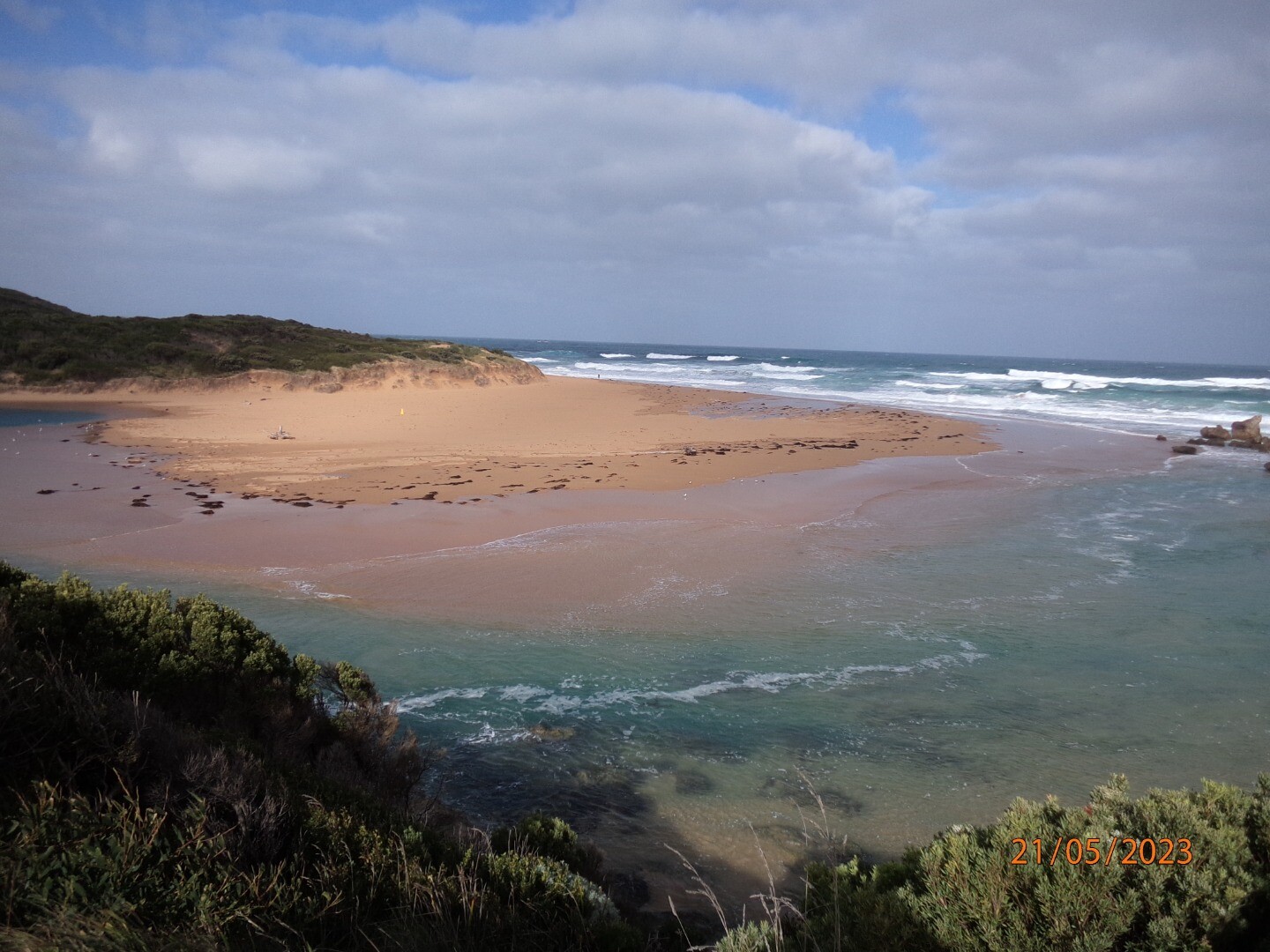
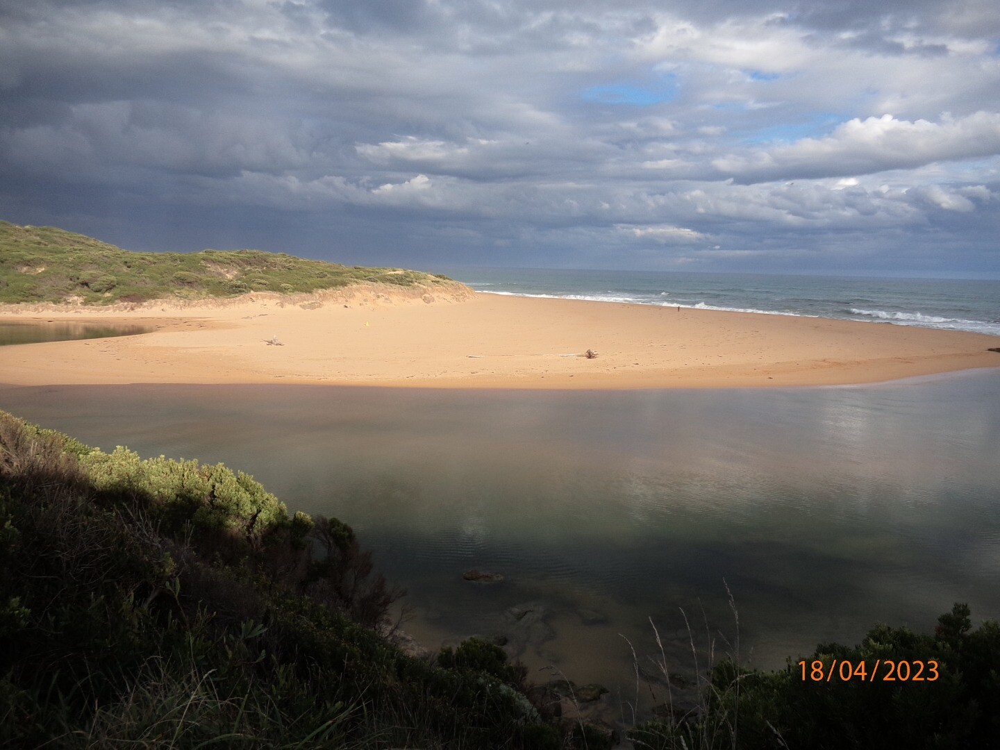
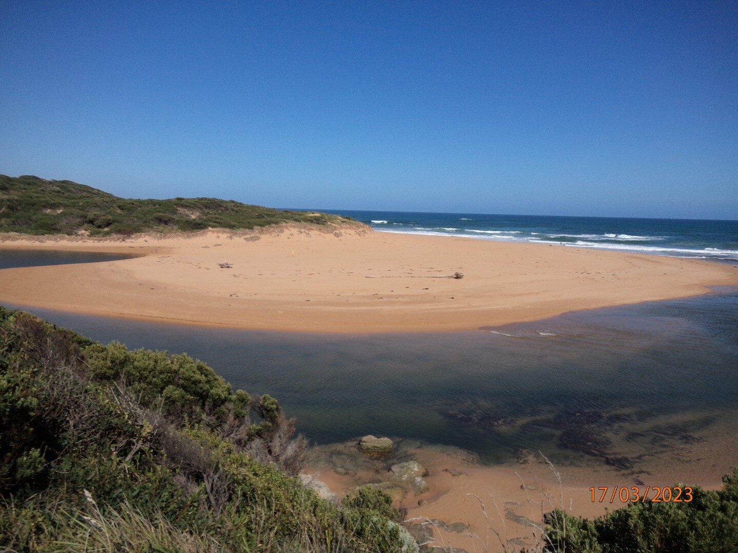
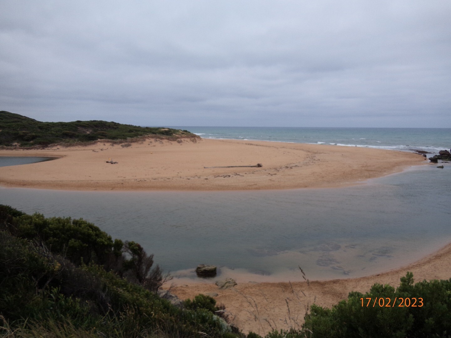
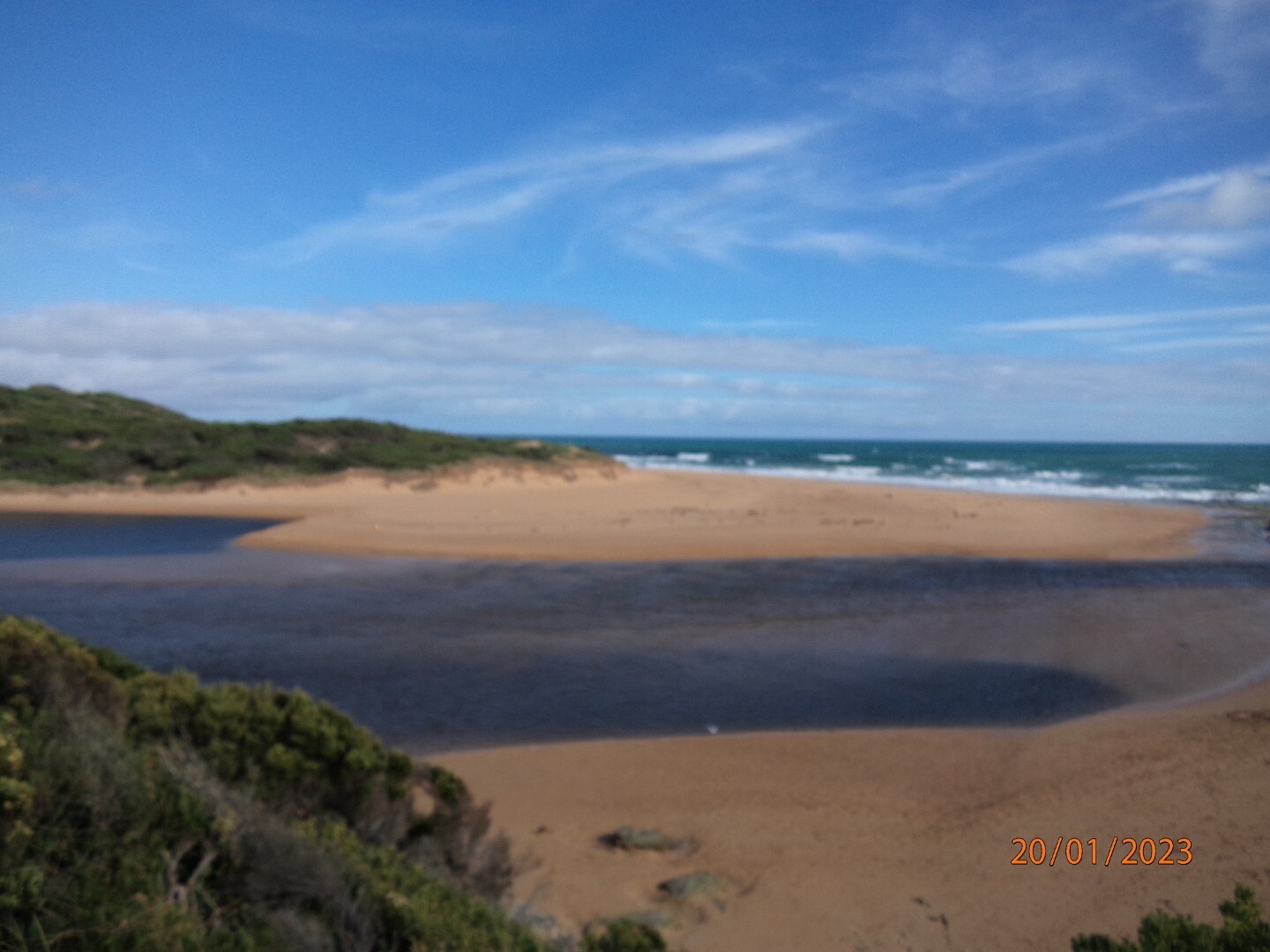
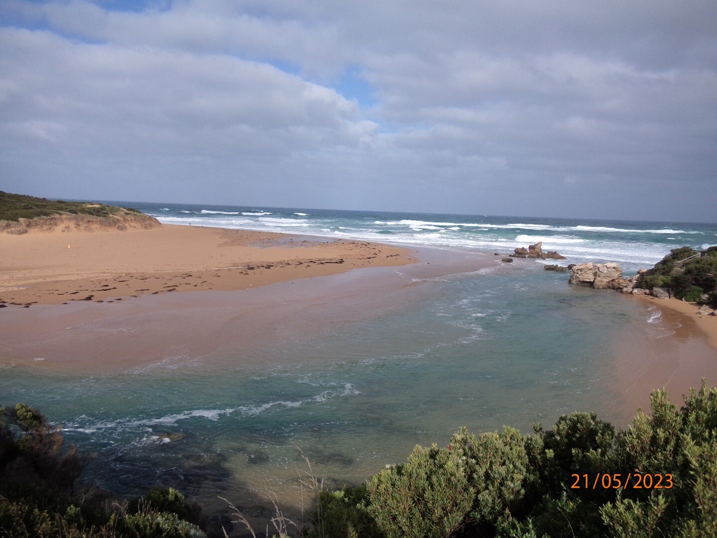
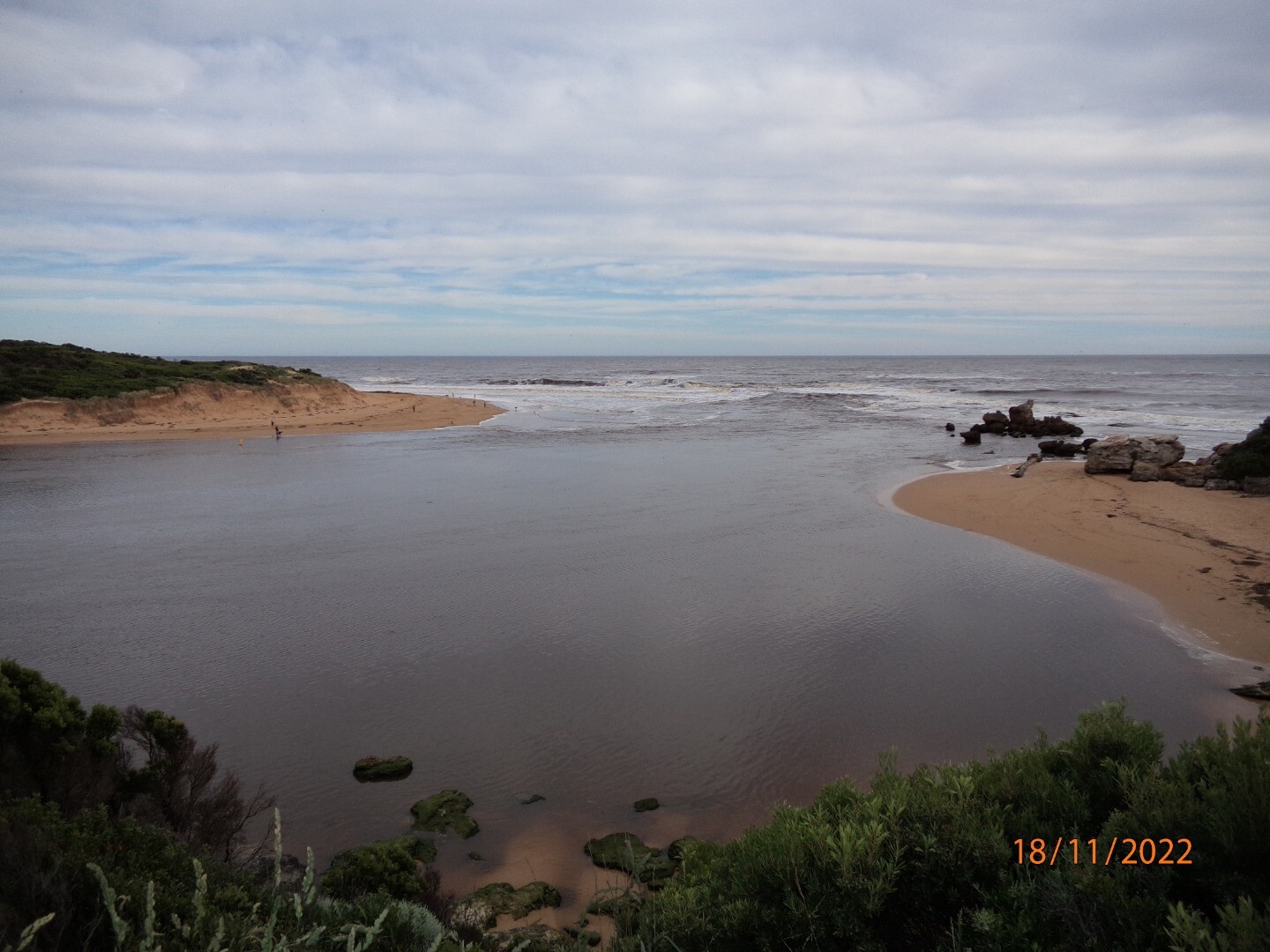
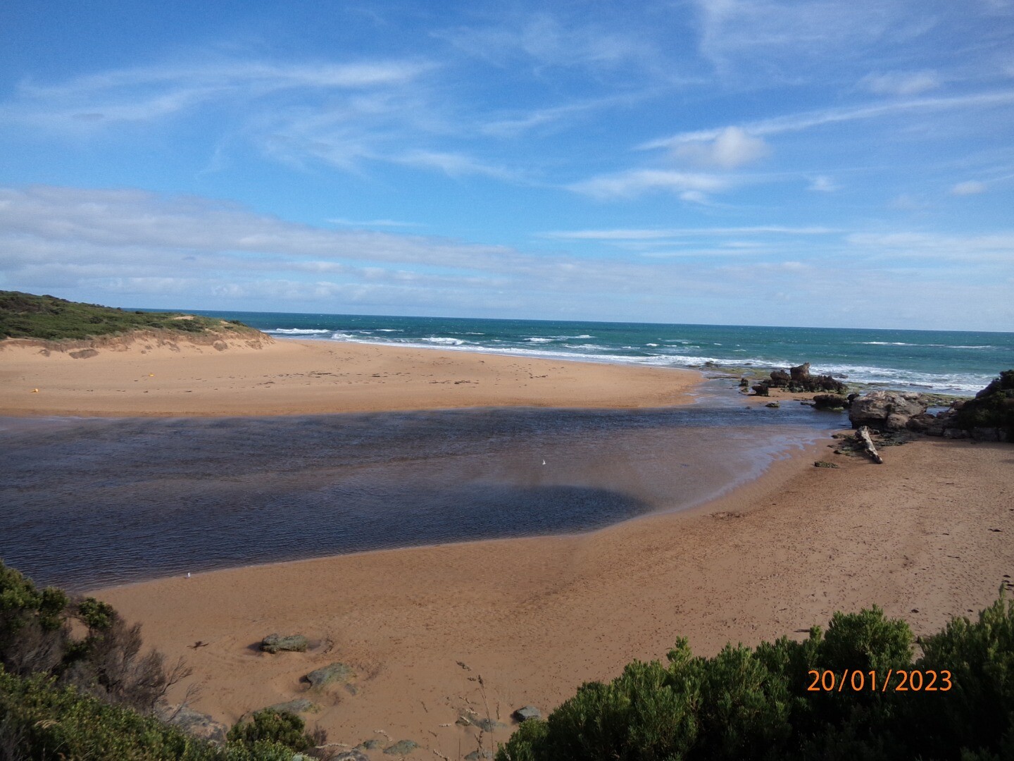
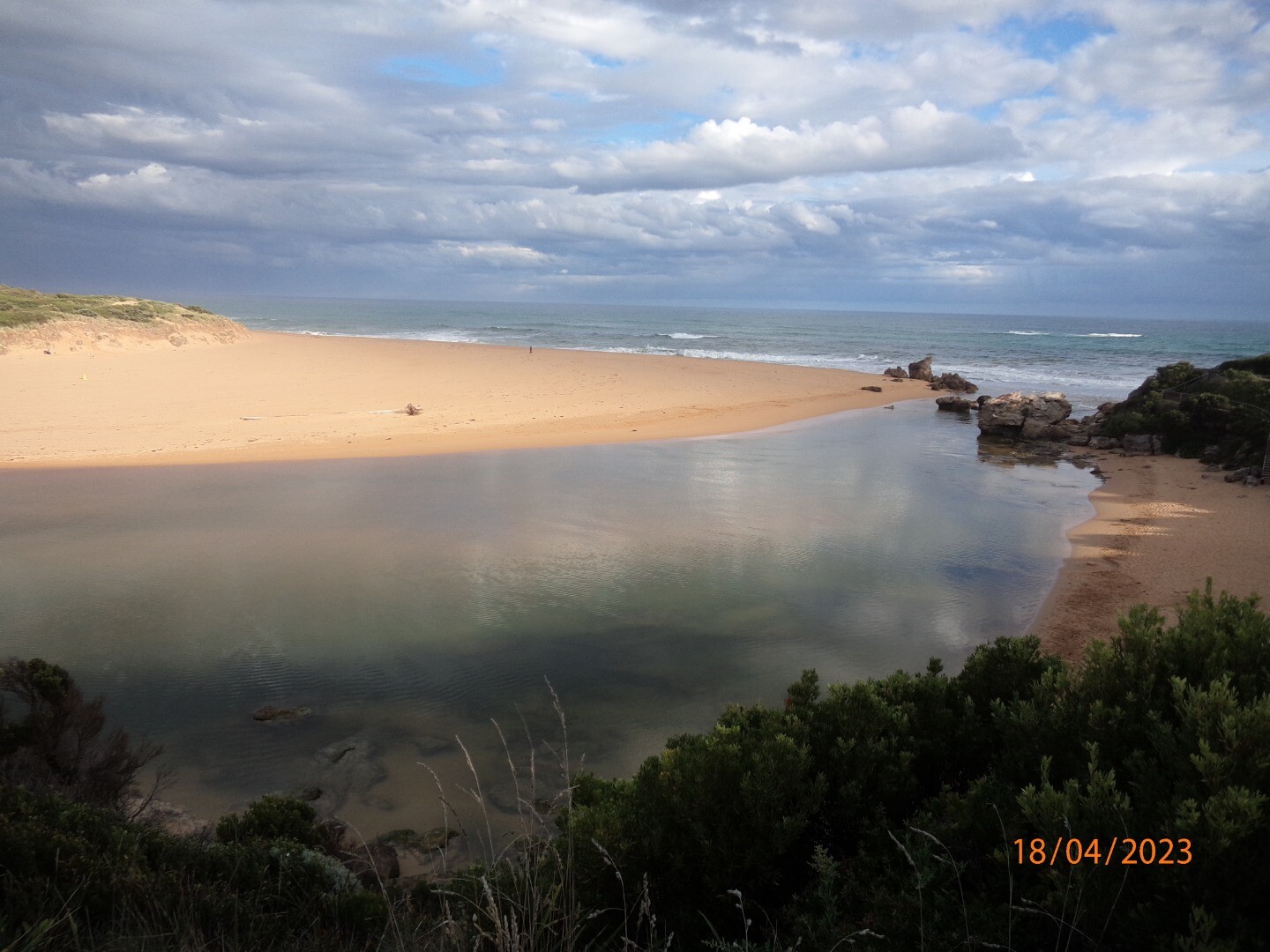
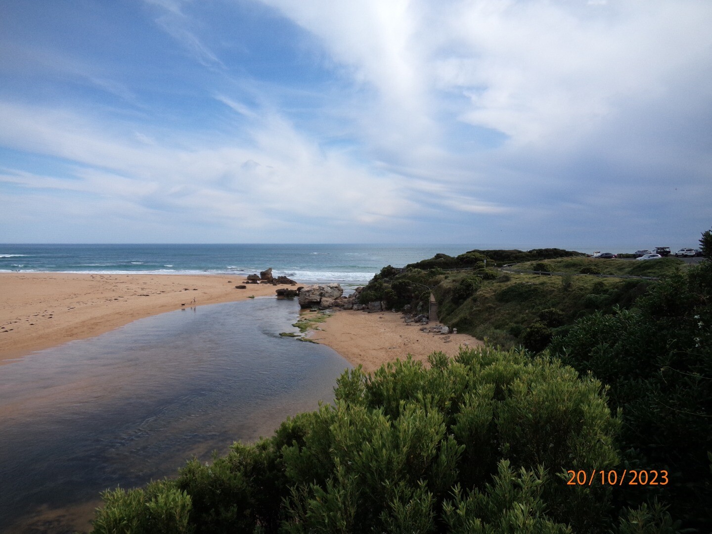
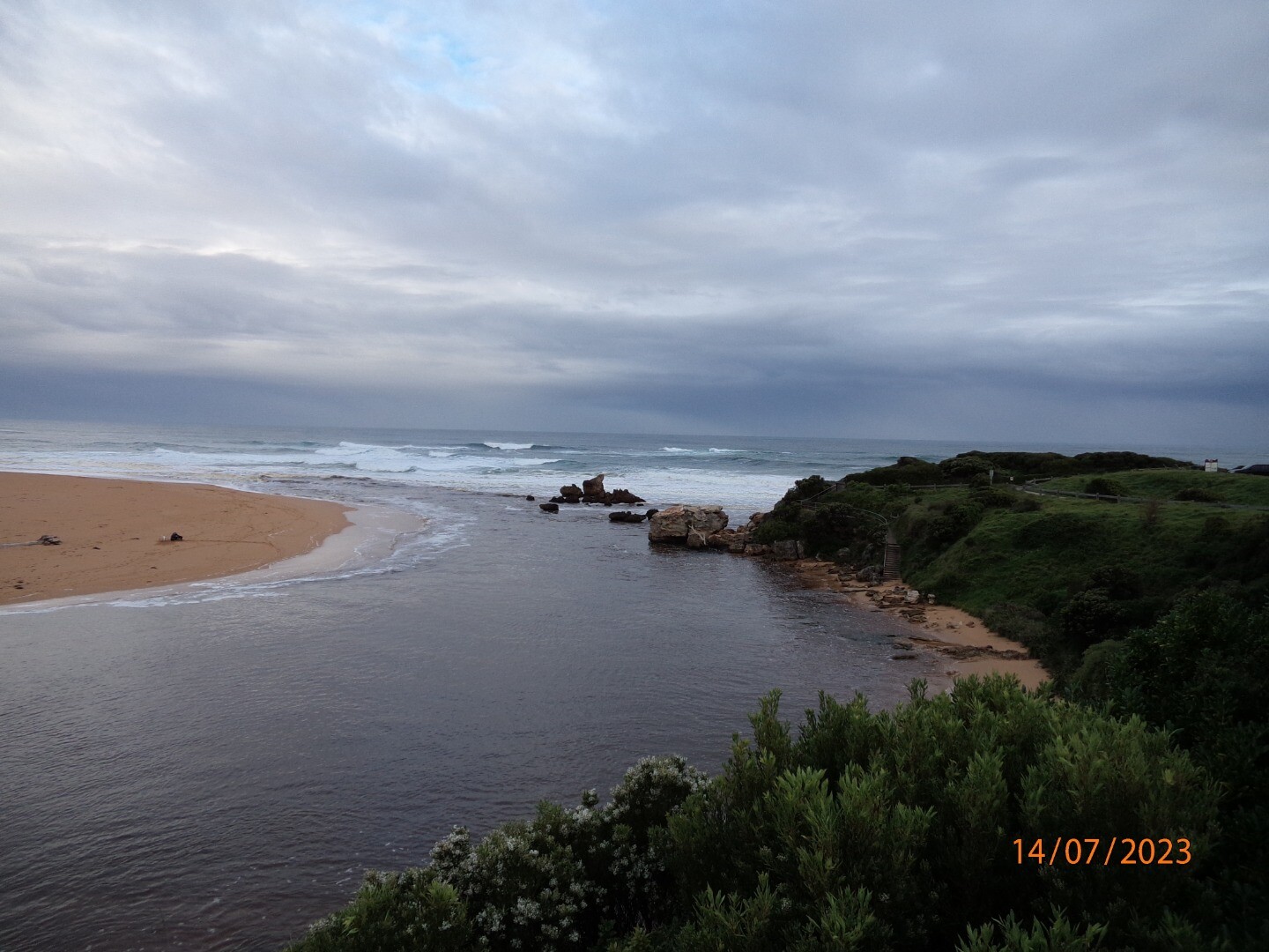
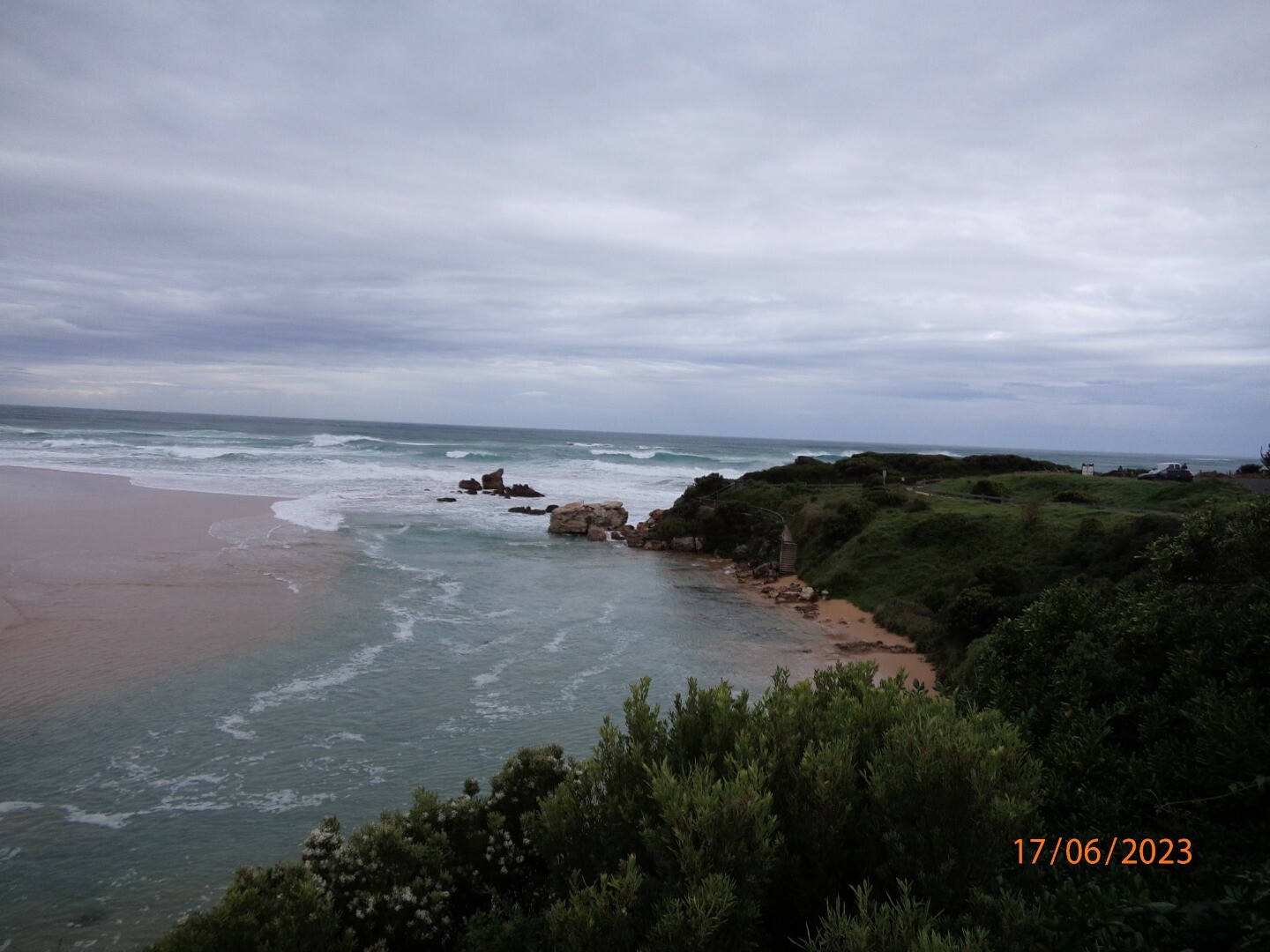
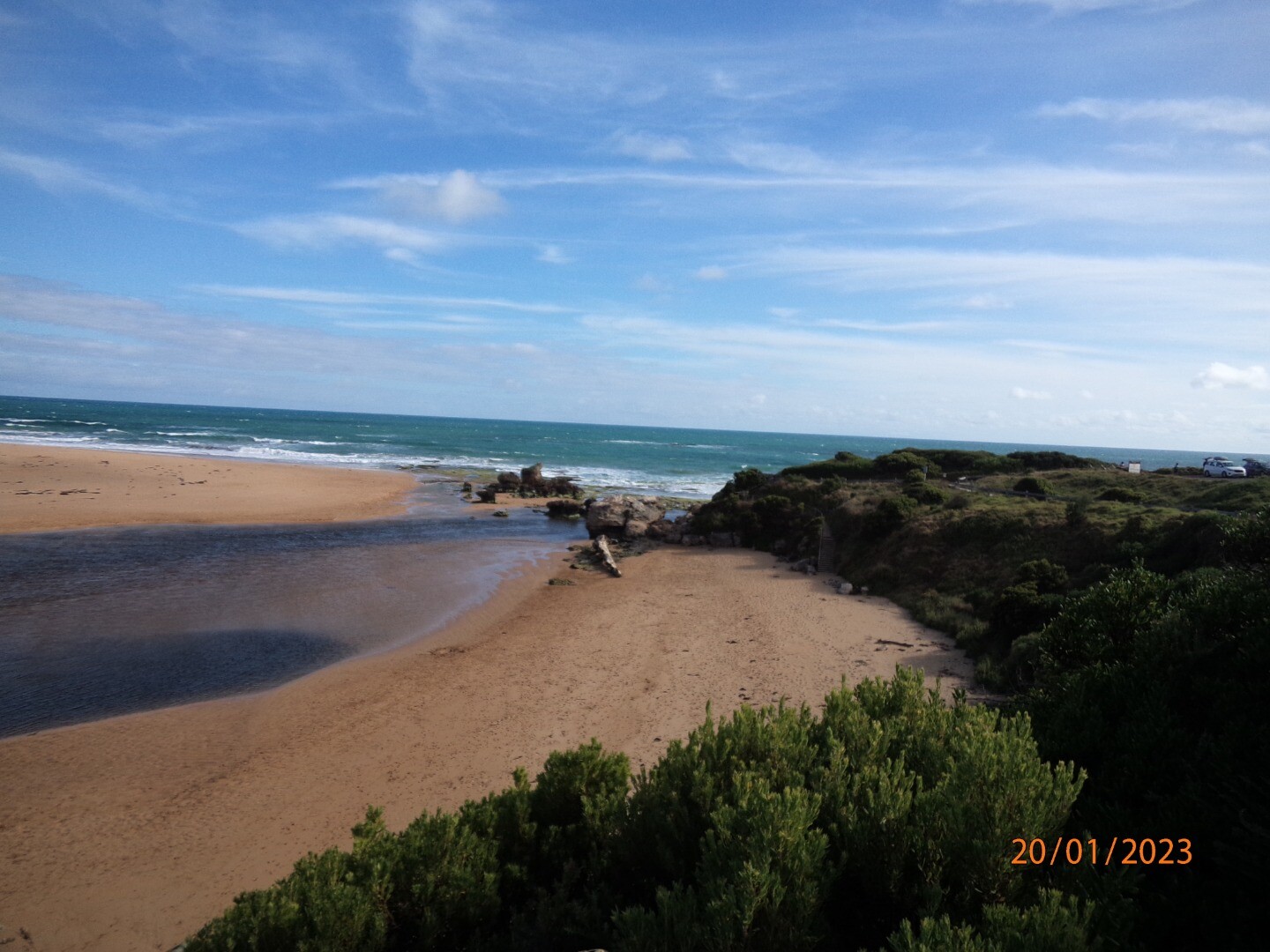
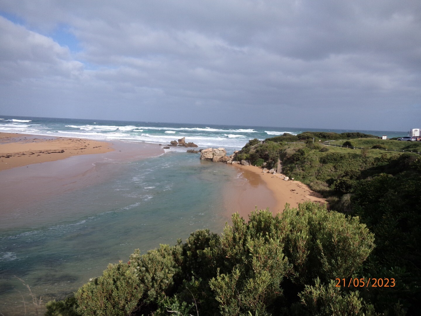
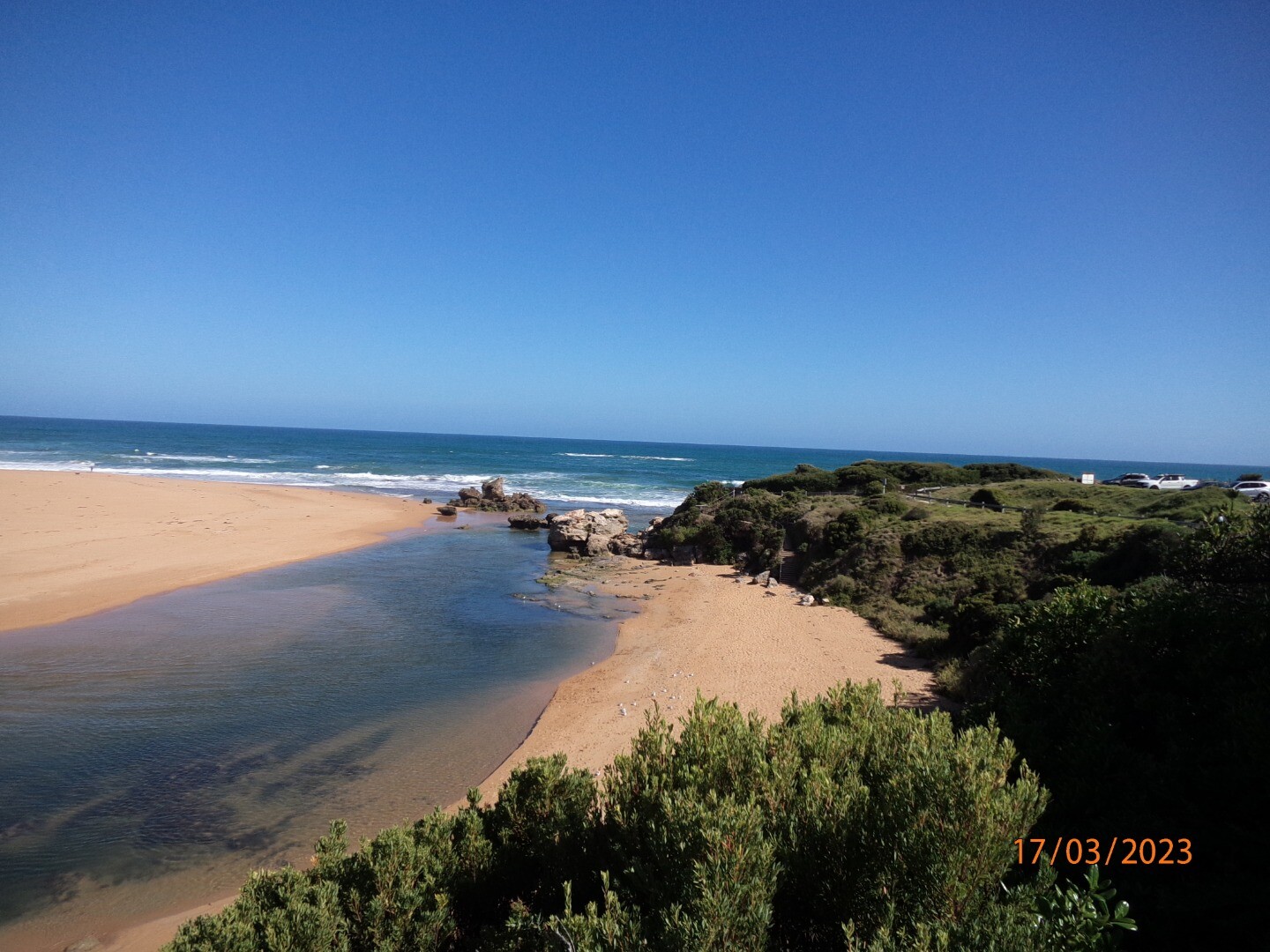
Photopoint photos
Photopoint Hp1 16-11-2023
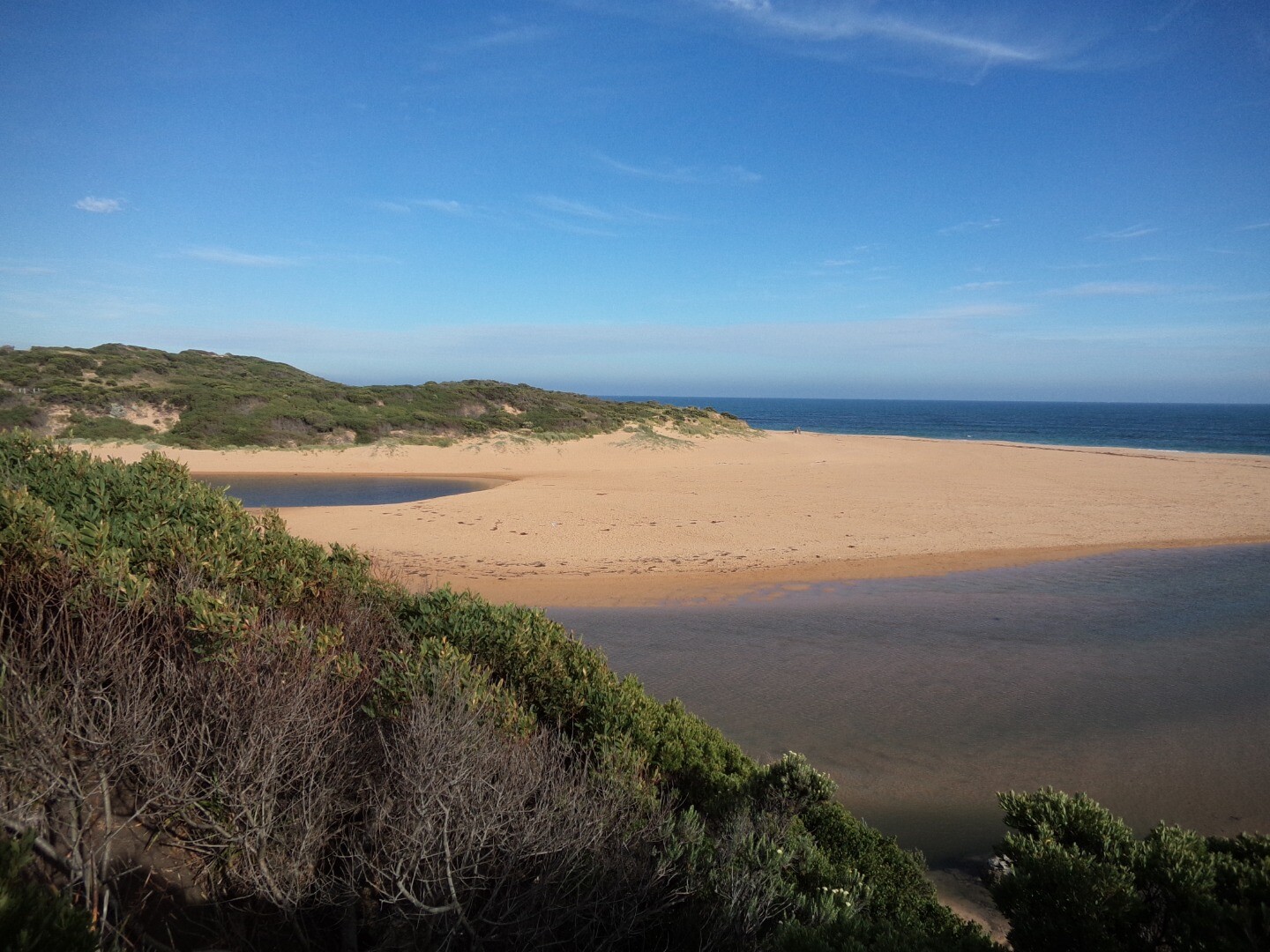
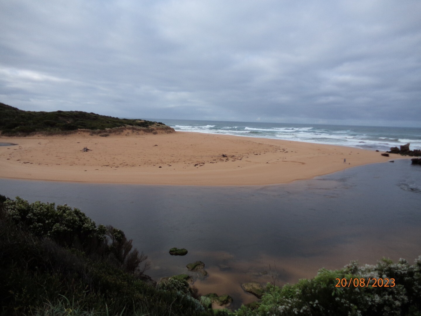
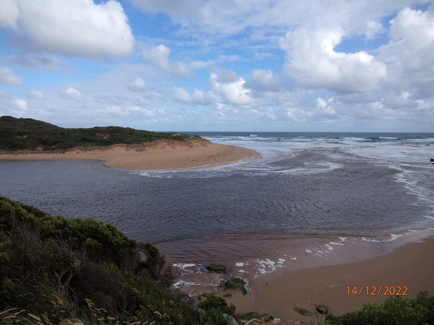
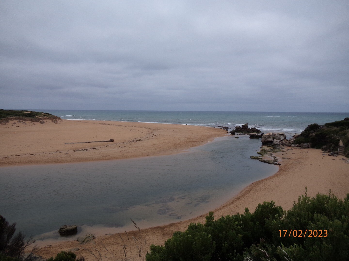
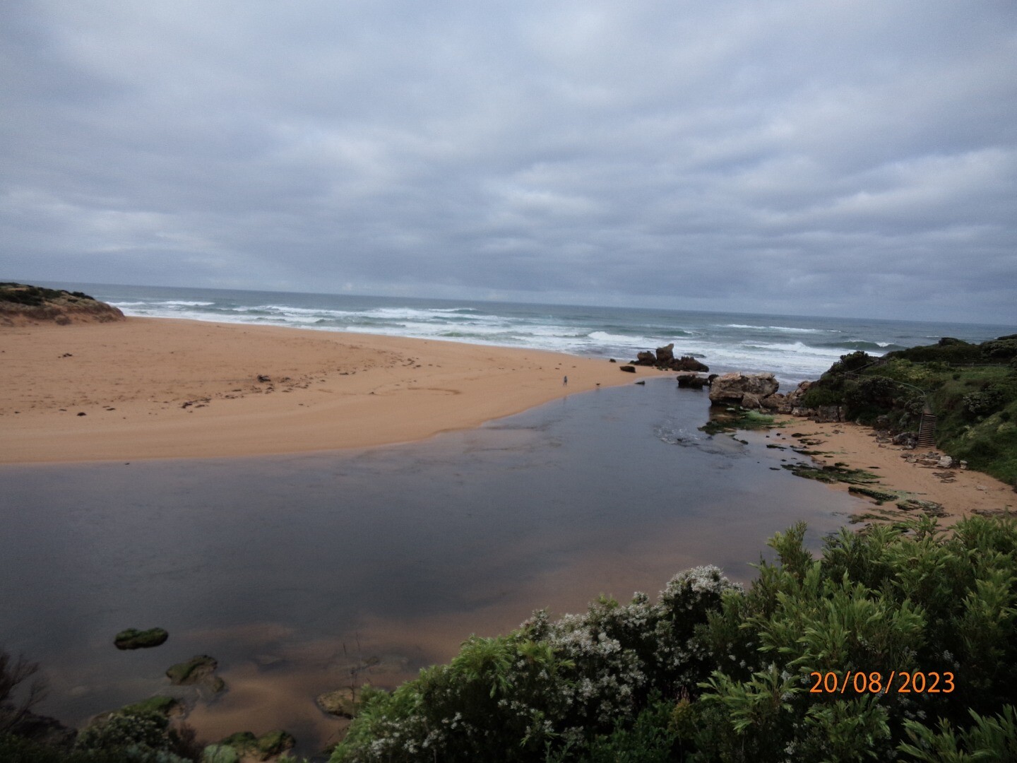
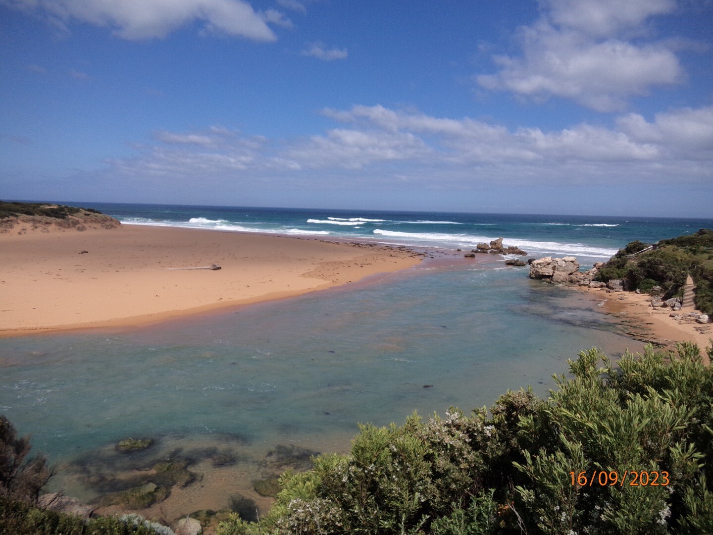
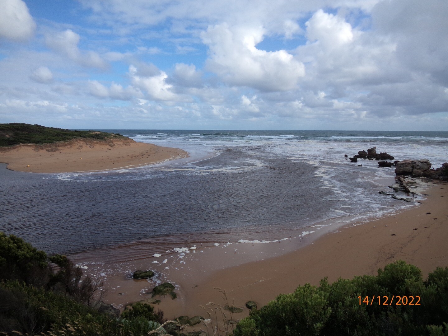
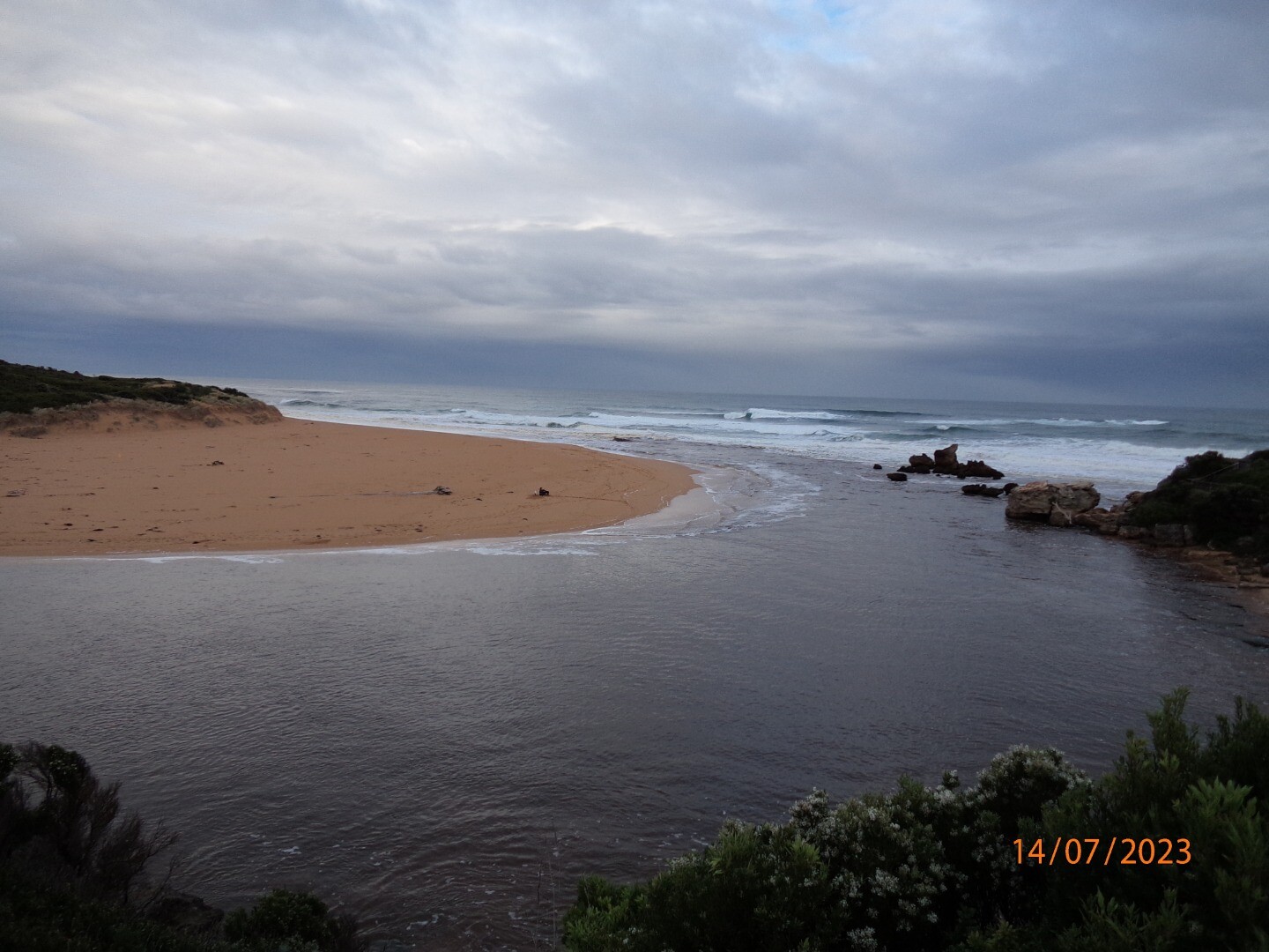
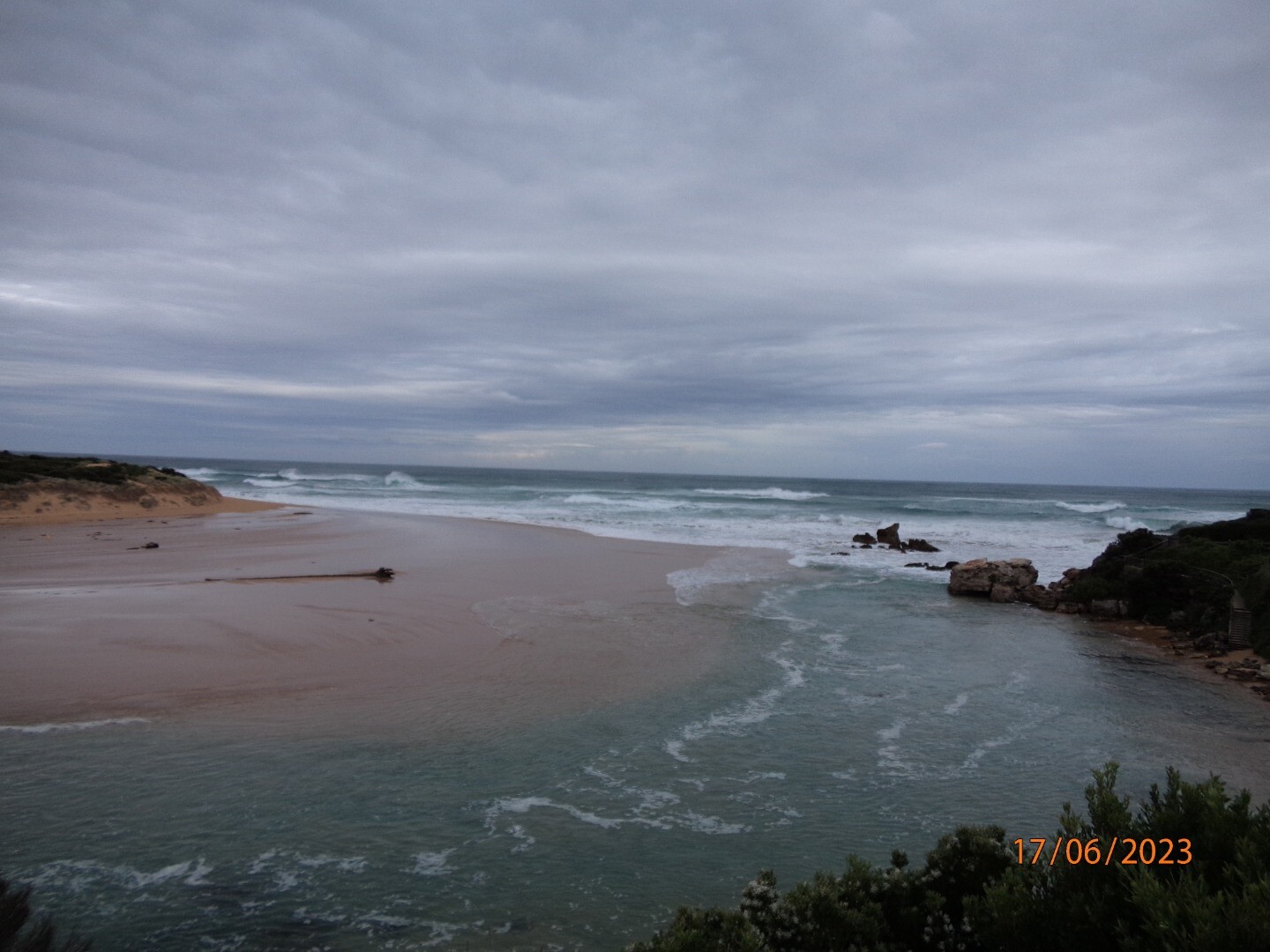
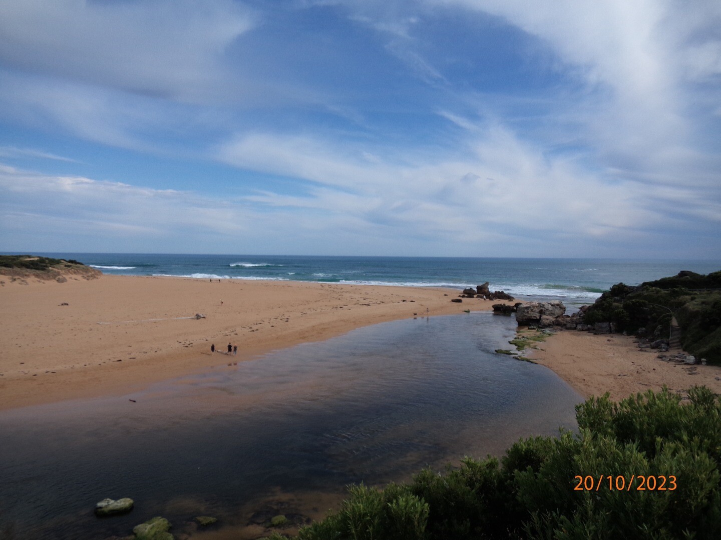
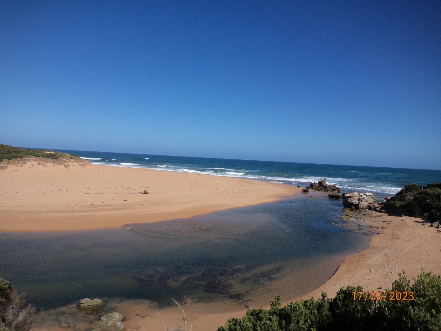
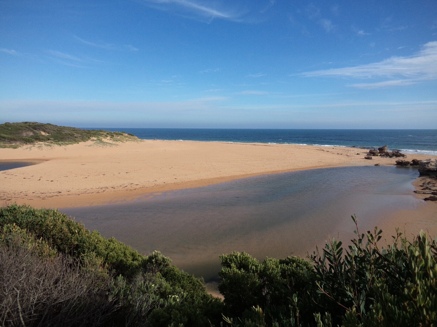
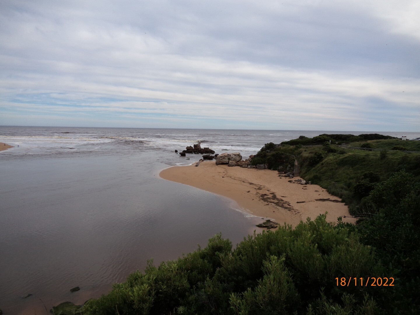
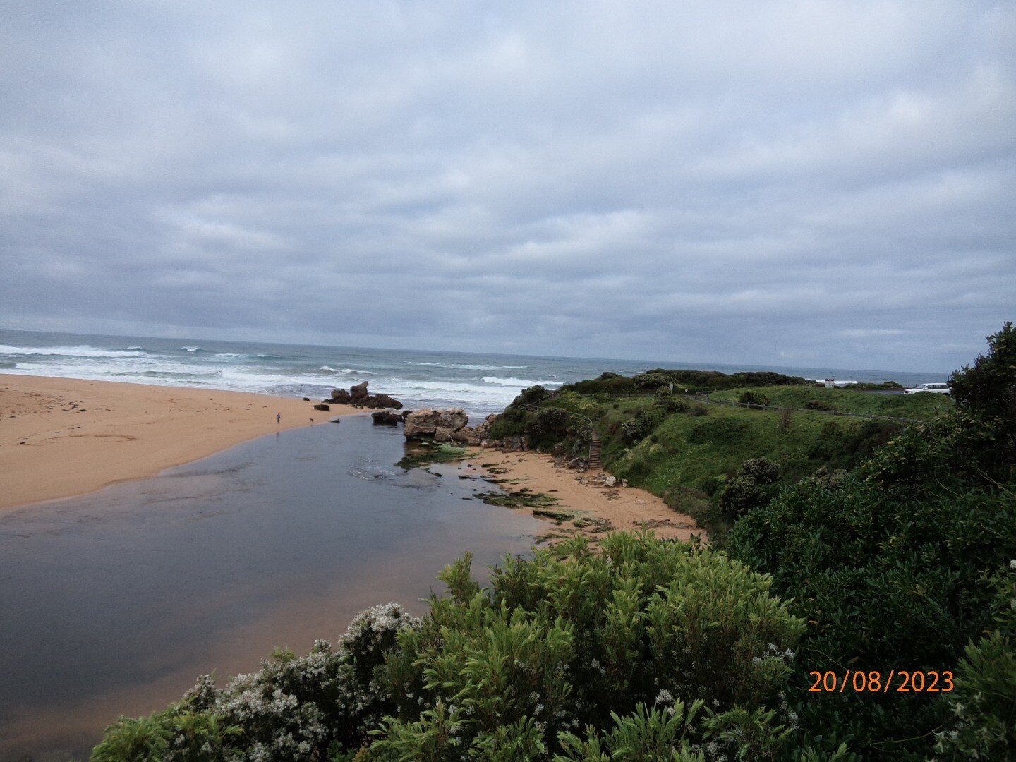
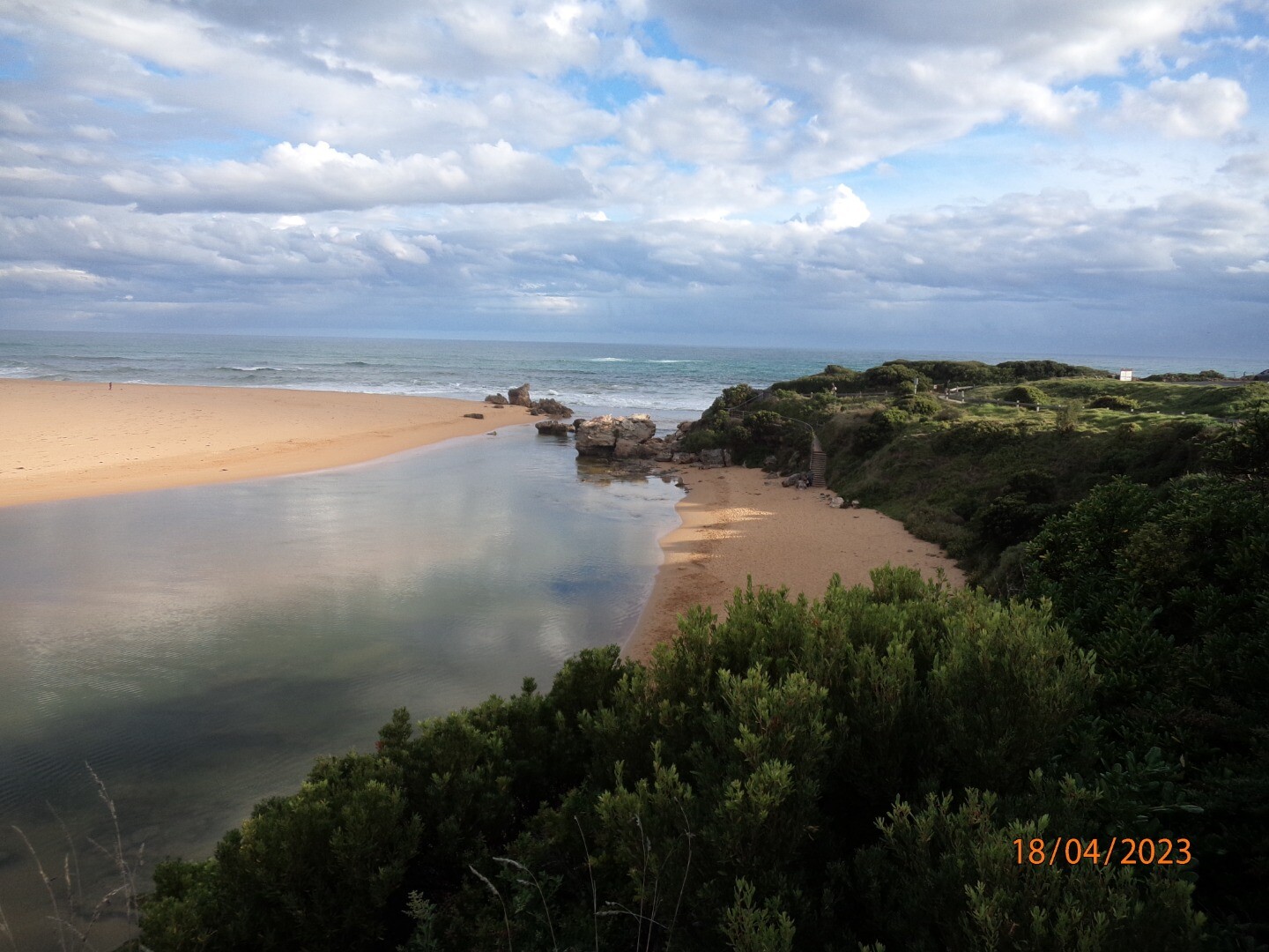
Photopoint Hp1 20-08-2023

All content, files, data and images provided by the EstuaryWatch Data Portal and Gallery are subject to a Creative Commons Attribution License
Content is made available to be used in any way, and should always attribute EstuaryWatch and www.estuarywatch.org.au