EstuaryWatch Data Portal
Site details
Overview
| Estuary | Balcombe Creek Estuary |
|---|---|
| CMA | Melbourne Water |
| Type | Photopoint |
| Site code | Bap2 |
| Site name | Balcombe Creek Photopoint Site 2 |
| Nearest road and town | Esplanade, Mt Martha |
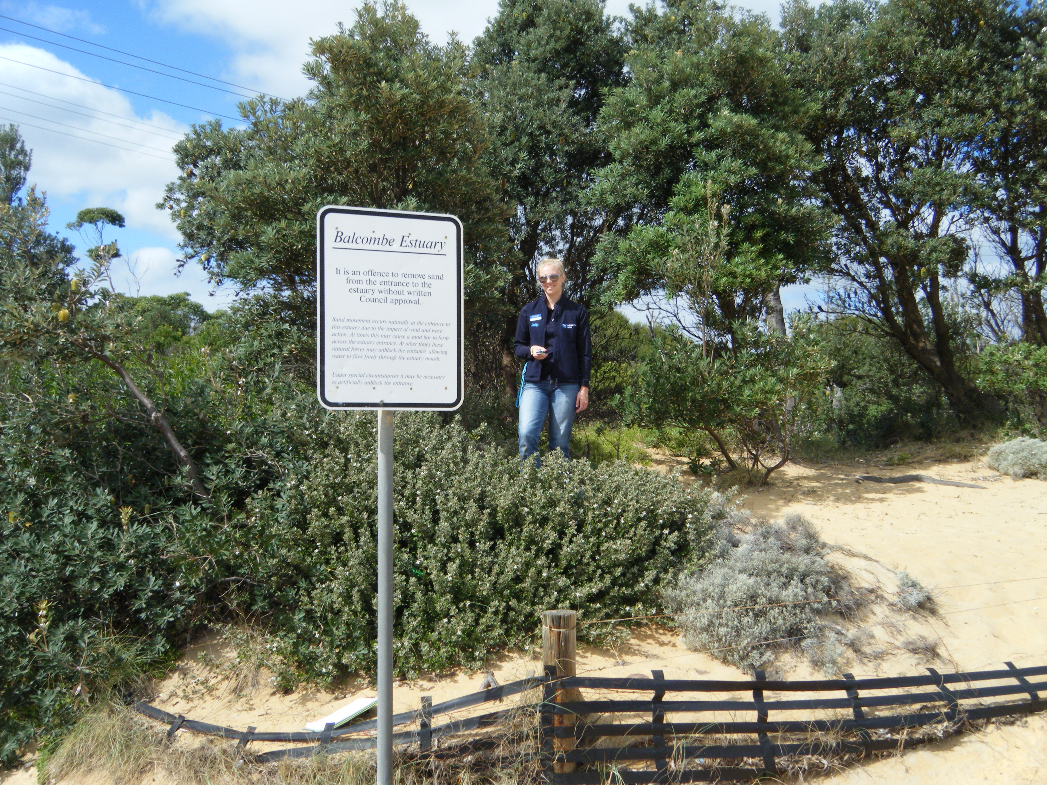
| Description | 150m north west of the Balcombe Estuary Rotunda on beach. Site is behind shrubs and 'Balcombe Estuary' sign. |
| Site access | Park at Balcombe Estuary Rotunda carpark (off Mirang Ave) and follow signs and walking path to beach. |
| Land use |
|
| Land use description | Road adjacent to beach. |
| Status | Active |
| Observation history | 06-10-2015 - 13-04-2023 |
Balcombe Estuary Photopoint Site 2 |
|
Photopoint photos
No photos found for the specified period

All content, files, data and images provided by the EstuaryWatch Data Portal and Gallery are subject to a Creative Commons Attribution License
Content is made available to be used in any way, and should always attribute EstuaryWatch and www.estuarywatch.org.au