EstuaryWatch Data Portal
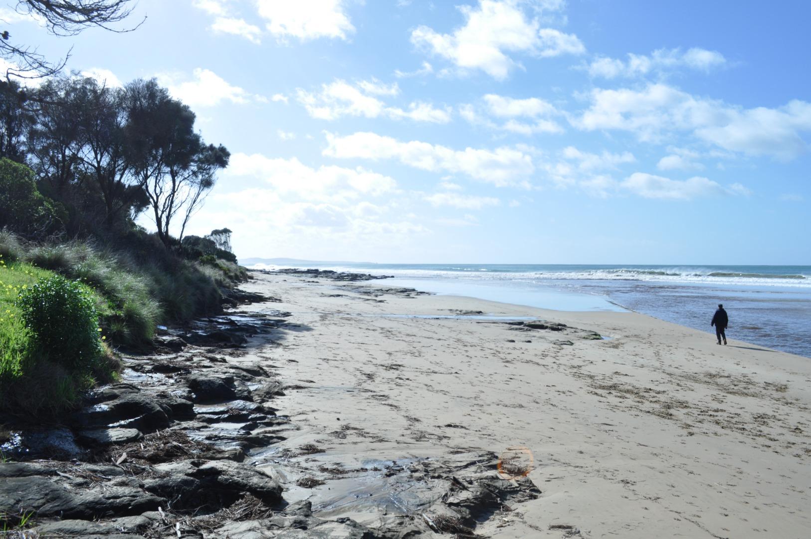
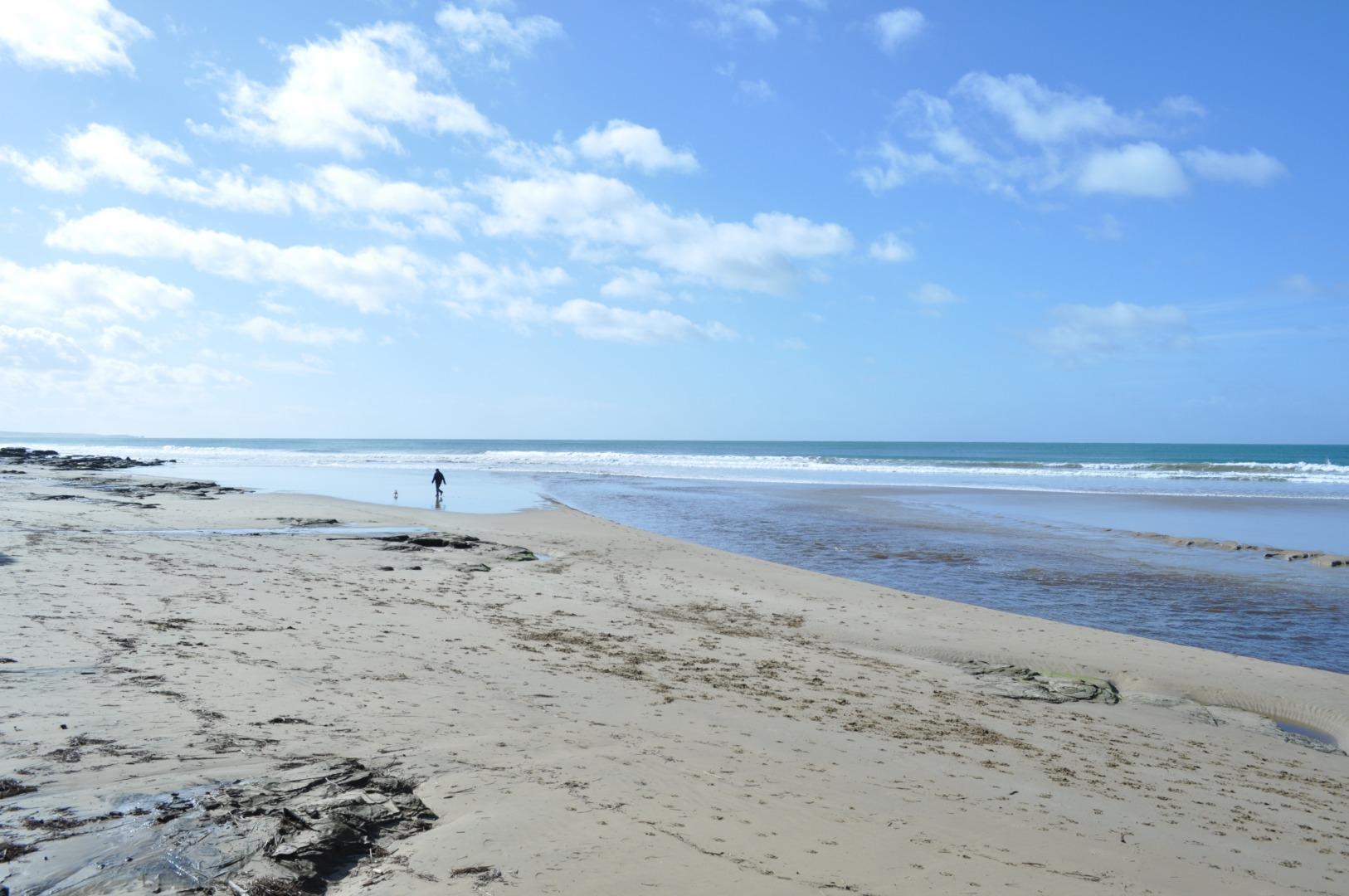
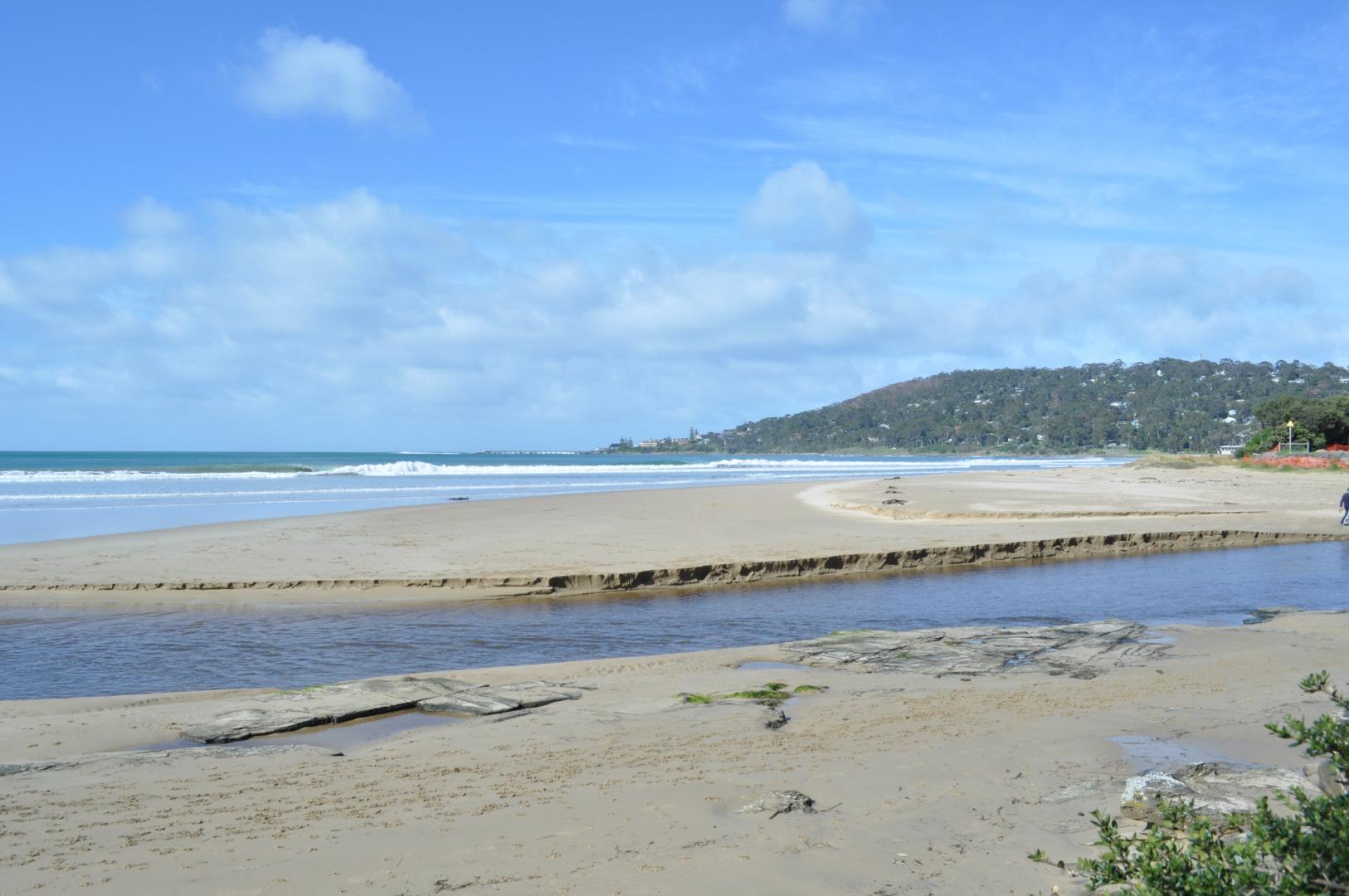
EMC Erskine River Estuary Mouth Observation Site
21 August 2019
Observation details
Overview
| Estuary | Erskine River Estuary |
|---|---|
| Site | Erskine River Estuary Mouth Observation Site |
| Observation ID | #13283 |
| Date and Time | Wednesday 21st August 2019 10:25am |
| Approved | Approved |
Notes
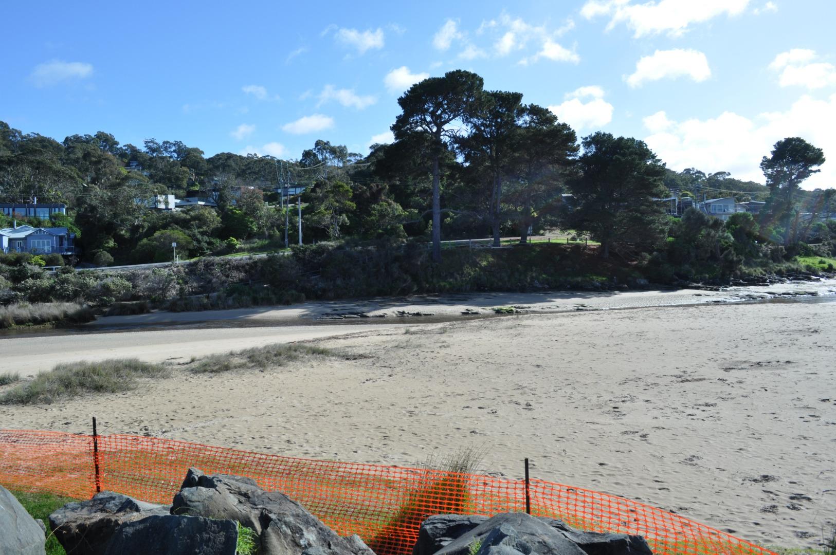
Water level meter was so dirty we were unable to take any measurements. We have reported on this several times, and requested that we be given a contact name/tel no. of the person responsible at GORCC to this is carried out on a regular. I shall give the contact to Uric Orr who has offered to monitor the situation for us to ensure the meaurements are clear prior to each visit.
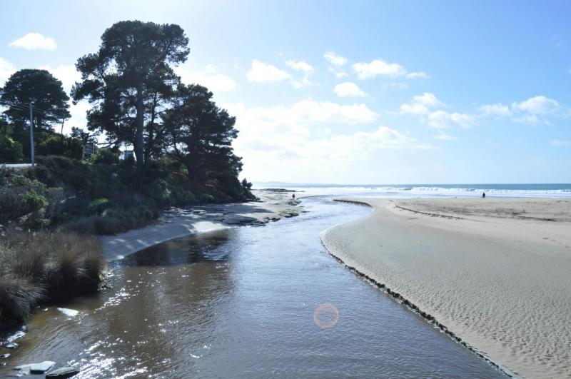
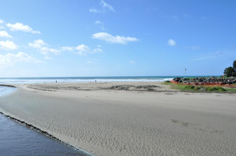
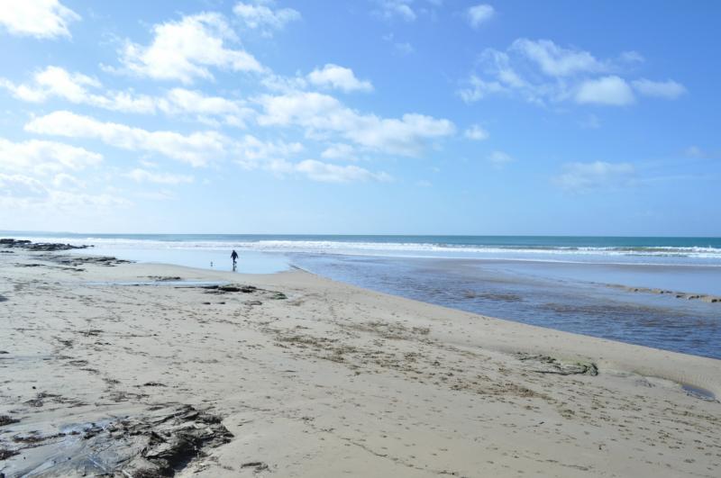
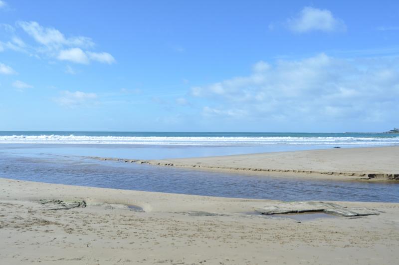
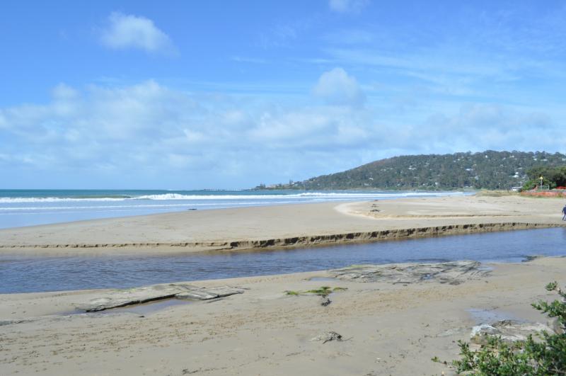
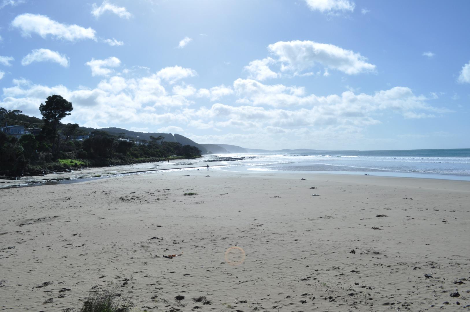
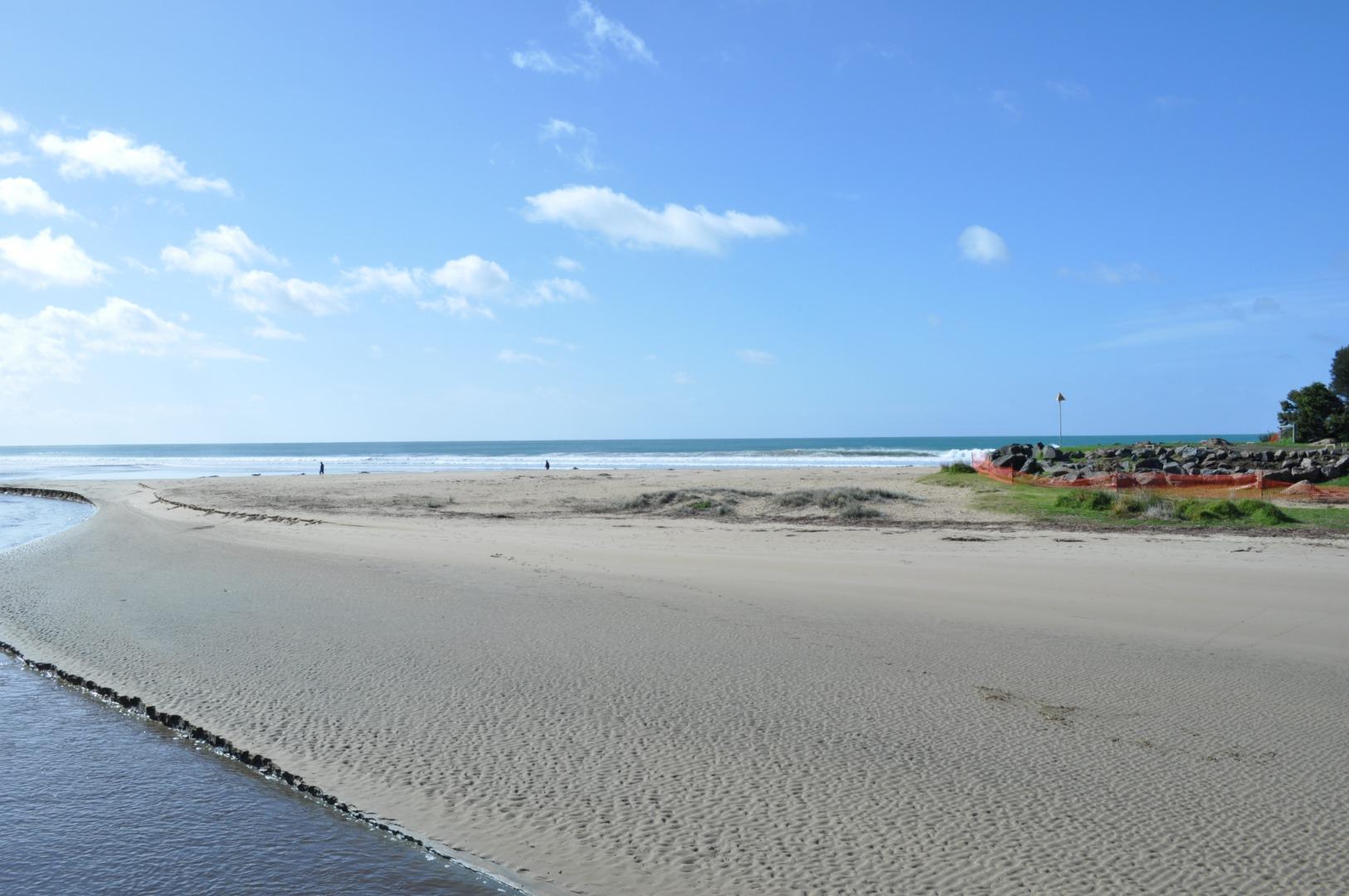
Mouth Observation
| Mouth state | Open |
|---|---|
| Previous | O O O O O O O O O O O O |
| Flow Present? | Yes |
| Previous | Y Y Y Y Y Y Y Y Y Y Y Y |
| Flow Direction | Out |
| Previous | O O O O O O O O O O I O |
| Above Sea | Above Estuary | |
|---|---|---|
| Berm Height (m) | ||
| Berm Length (m) |
Physical Condition
| Current | Mode | |
|---|---|---|
| Wind Direction | West | |
| Beaufort Scale | Strong breeze | |
| Sea State | Rough |


All content, files, data and images provided by the EstuaryWatch Data Portal and Gallery are subject to a Creative Commons Attribution License
Content is made available to be used in any way, and should always attribute EstuaryWatch and www.estuarywatch.org.au