EstuaryWatch Data Portal
Estuary event details
| Estuary | Powlett River Estuary |
|---|---|
| Region | West Gippsland CMA |
| Event type | Weather Event |
| Date and time | 29 April 2013 16:00pm |
| Description |
The estuary mouth closed its connection with the ocean between the 20th and 29th of April. Water level is at 1.80m AHD with large ocean swells pushing sea water over the sand berm. Water is now starting to move out onto the adjacent floodplain area, that contains important saltmarsh and wetland environments that provide important habitat for birds, fish and other creatures during these events. |
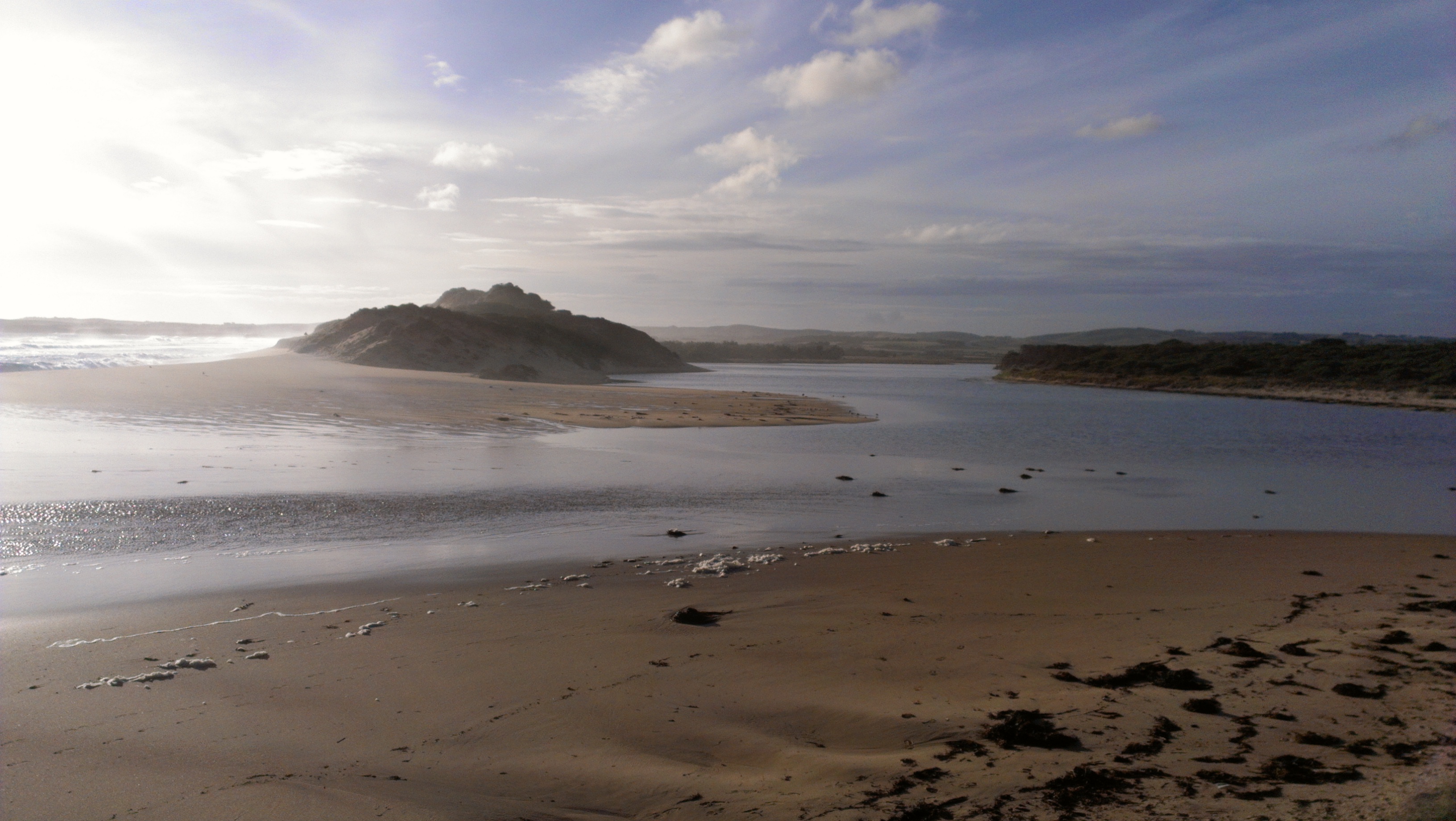
Large ocean swell topping sand berm and contributing to a rise in estuarine water levels
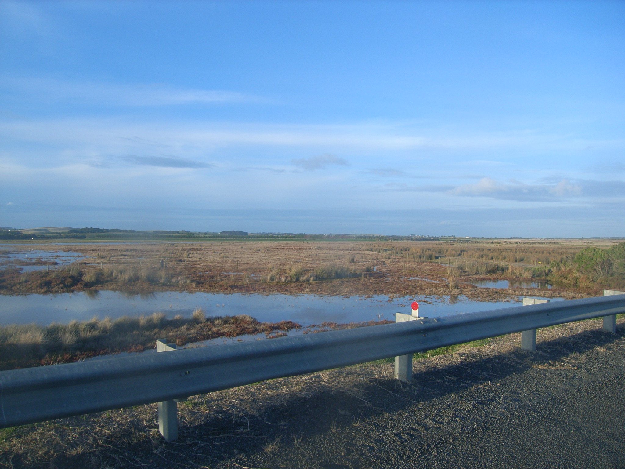
Saltmarsh adjacent the Powlett River Road Bridge_Facing ENE
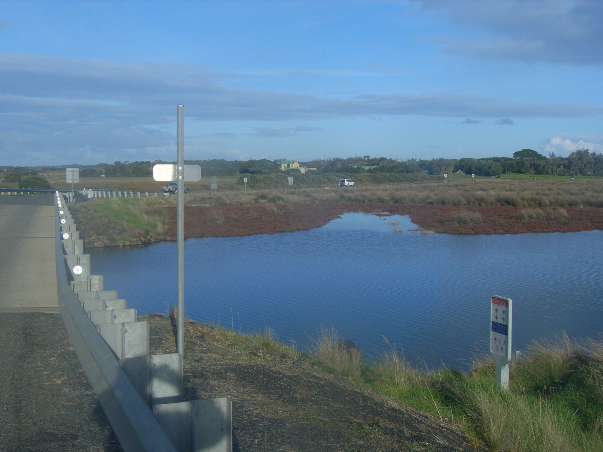
Saltmarsh adjacent the Powlett River Road Bridge_Facing SSE
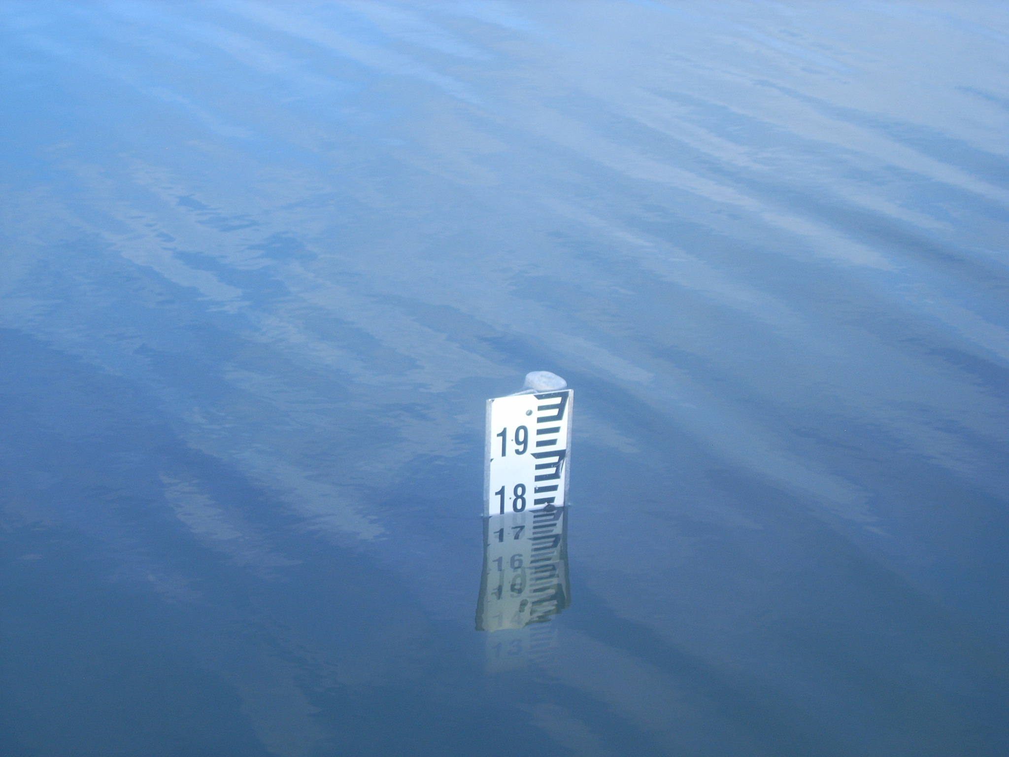
The water level gauge board (at Powlett River Road Bridge) reading 1.80metres AHD

All content, files, data and images provided by the EstuaryWatch Data Portal and Gallery are subject to a Creative Commons Attribution License
Content is made available to be used in any way, and should always attribute EstuaryWatch and www.estuarywatch.org.au