EstuaryWatch Data Portal
Estuary event details
| Estuary | Gellibrand River Estuary |
|---|---|
| Region | Corangamite CMA |
| Event type | Estuary Entrance Opening |
| Date and time | 7 April 2013 07:55am |
| Description |
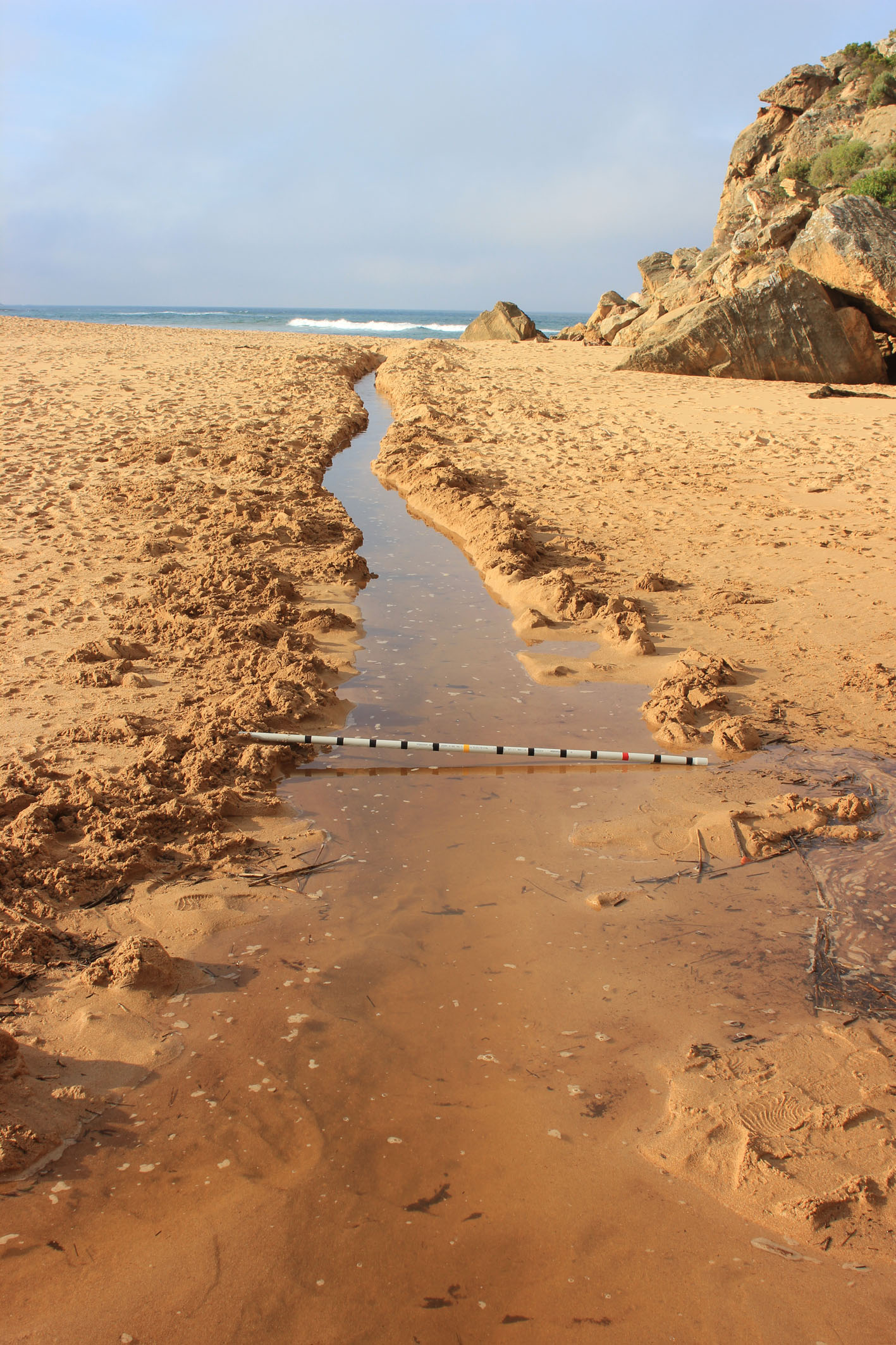
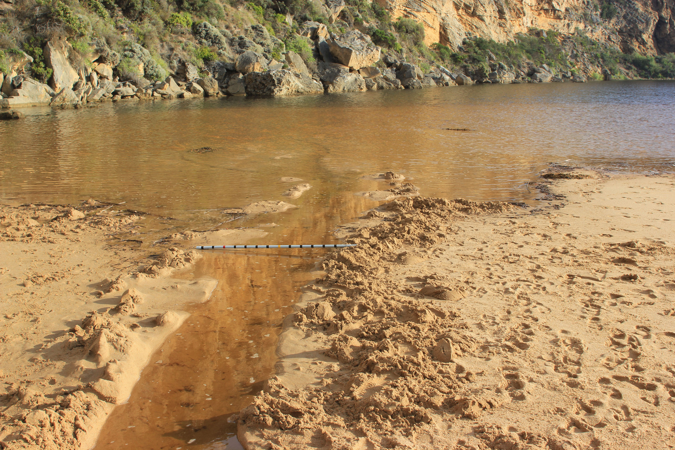
Another attempt at an illegal opening 07/04/13 Found at 07:55 A very determined attempt but probably not the same people as before, however the person /or persons knew what they were doing (previous experience?) as they ran a side channel into the actual estuary to get flow (will be shown in photos later) Beach is changing shape a bit like last time ¿undulating with sand cliffs starting to form at east end Did some D.O. testing in wetlands with interesting results Water only on side of OCR between camp ground & GOR ¿ none over OOR 0.28 on flood marker More water on flats ¿ water on Coe¿s west flats despite recent excavation !!!!!????? More water entering east of windmill & upstream ` hills¿ ¿ no water on Barlow¿s Note low ph. at G2 |
Ge_20130407_I O
Ge_20130407_I O _2

All content, files, data and images provided by the EstuaryWatch Data Portal and Gallery are subject to a Creative Commons Attribution License
Content is made available to be used in any way, and should always attribute EstuaryWatch and www.estuarywatch.org.au