EstuaryWatch Data Portal
Estuary event details
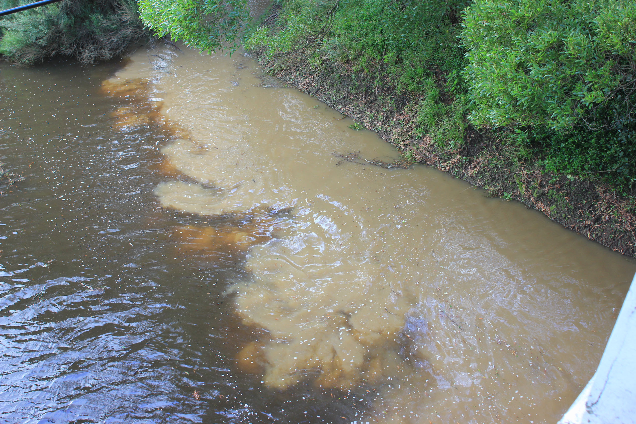
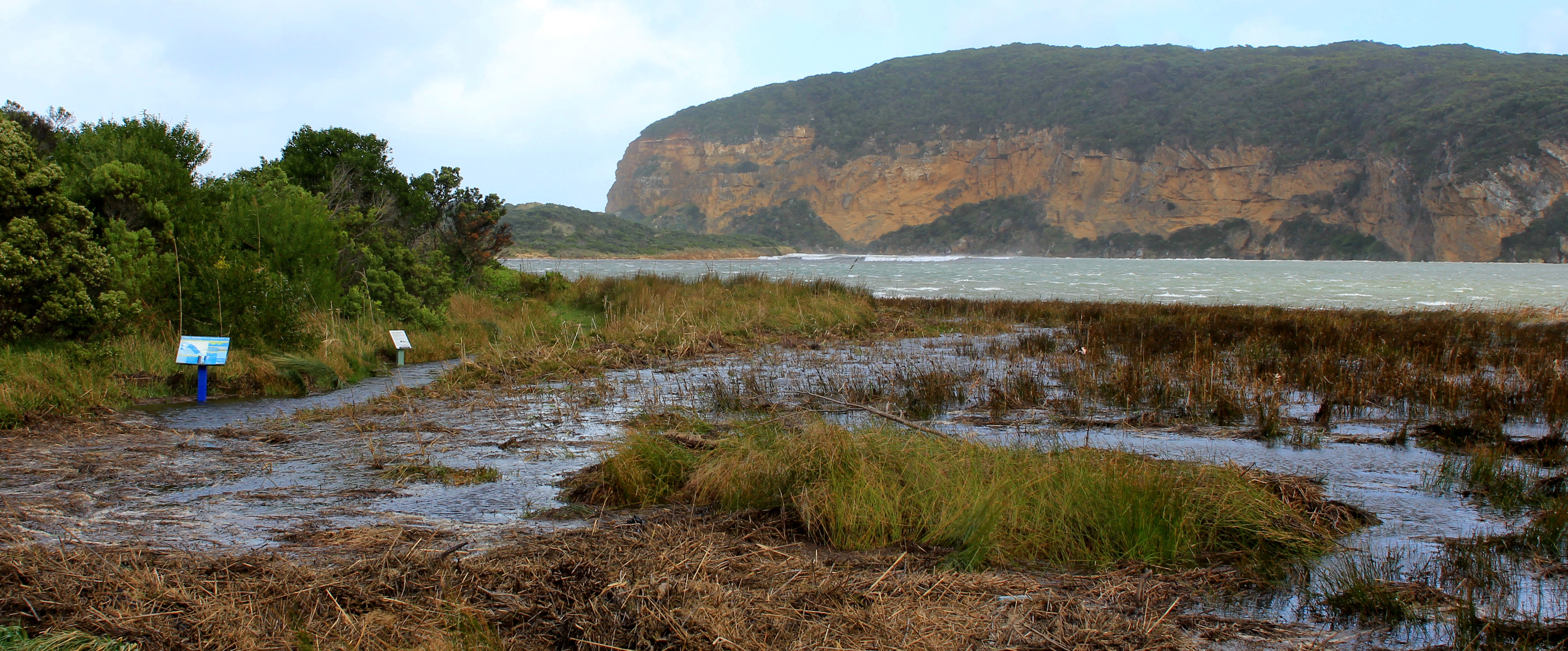
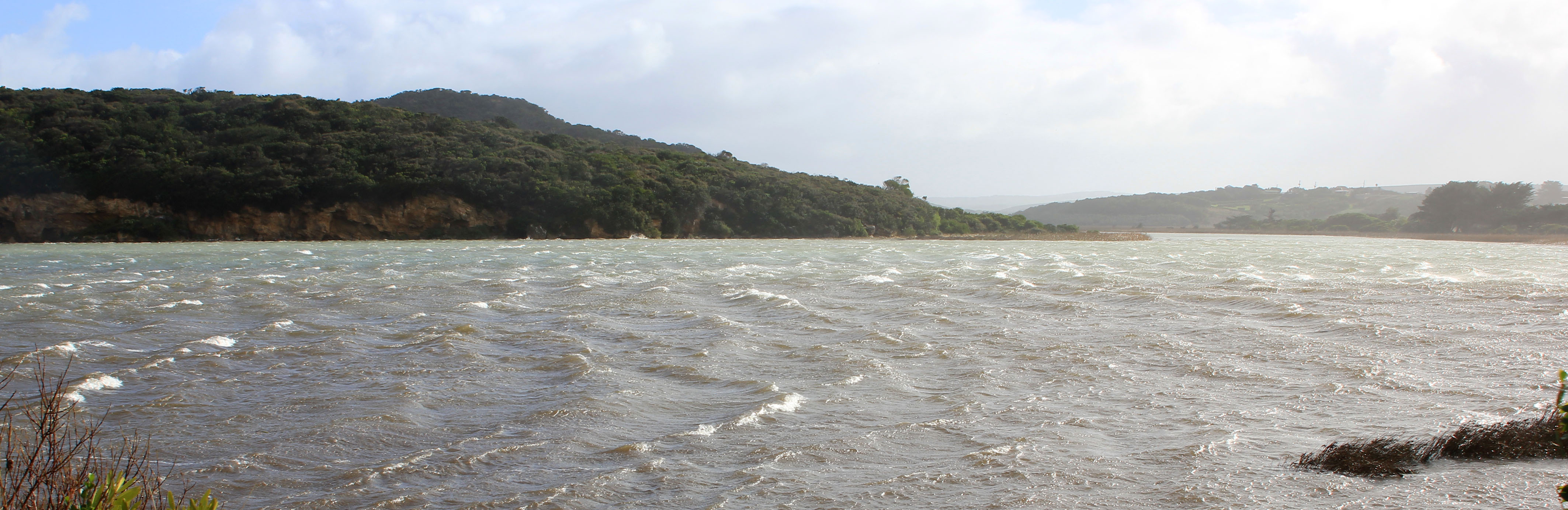
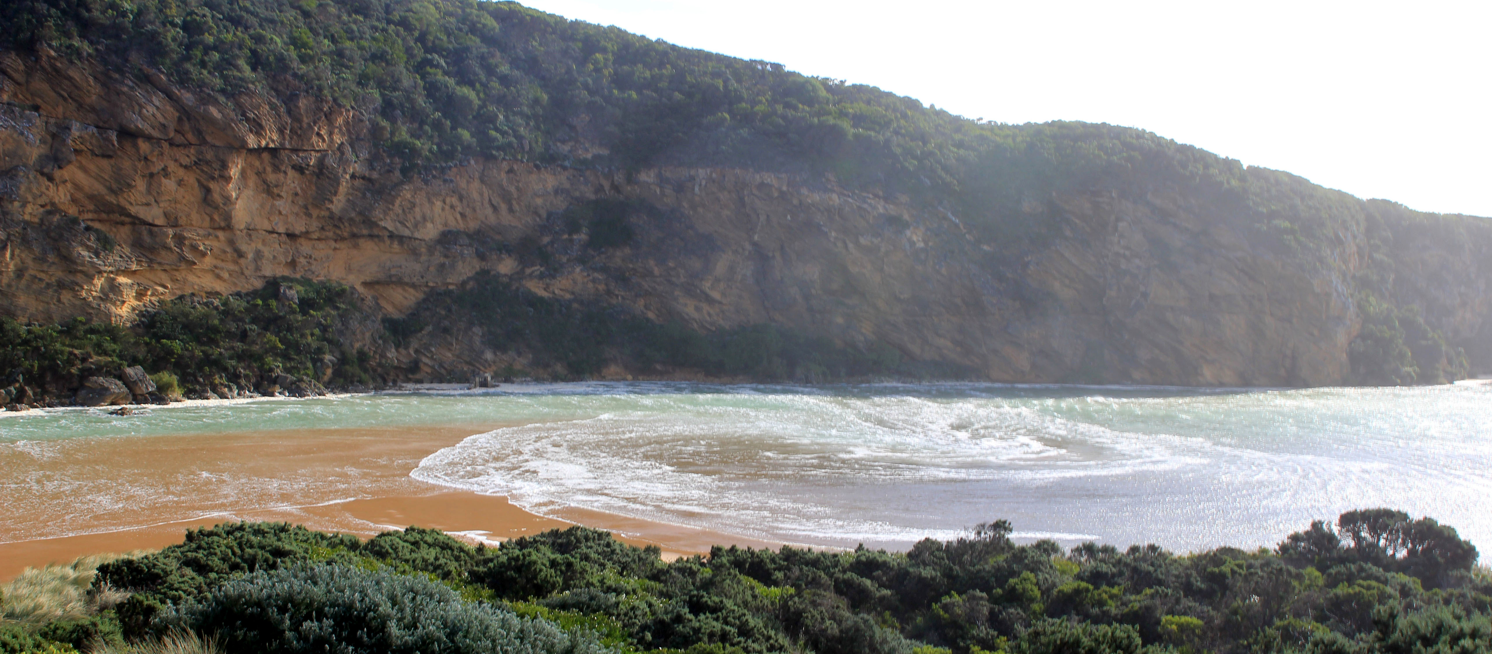
| Estuary | Gellibrand River Estuary |
|---|---|
| Region | Corangamite CMA |
| Event type | Weather Event |
| Date and time | 24 June 2014 10:30am |
| Description |
|
Ge_20140624_WE_5973
GE_20140624_WE_5979
GE_20140624_WE_5982
Ge_20140624_WE_6004
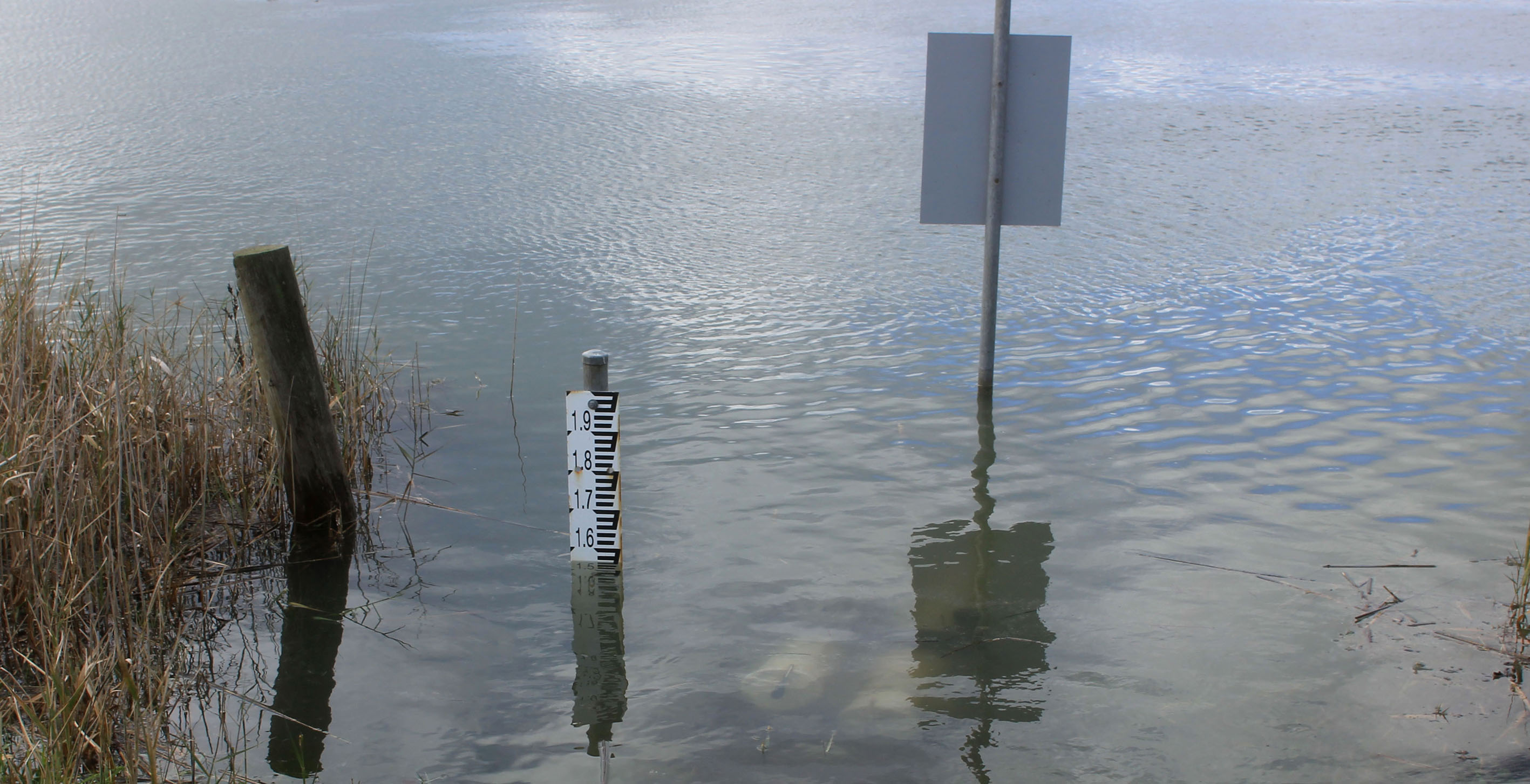
Ge_20140624_WE_G2_6029
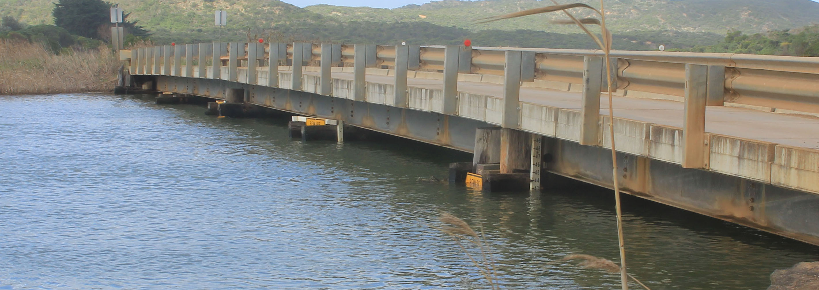
Ge_20140624_WE_G2_6030
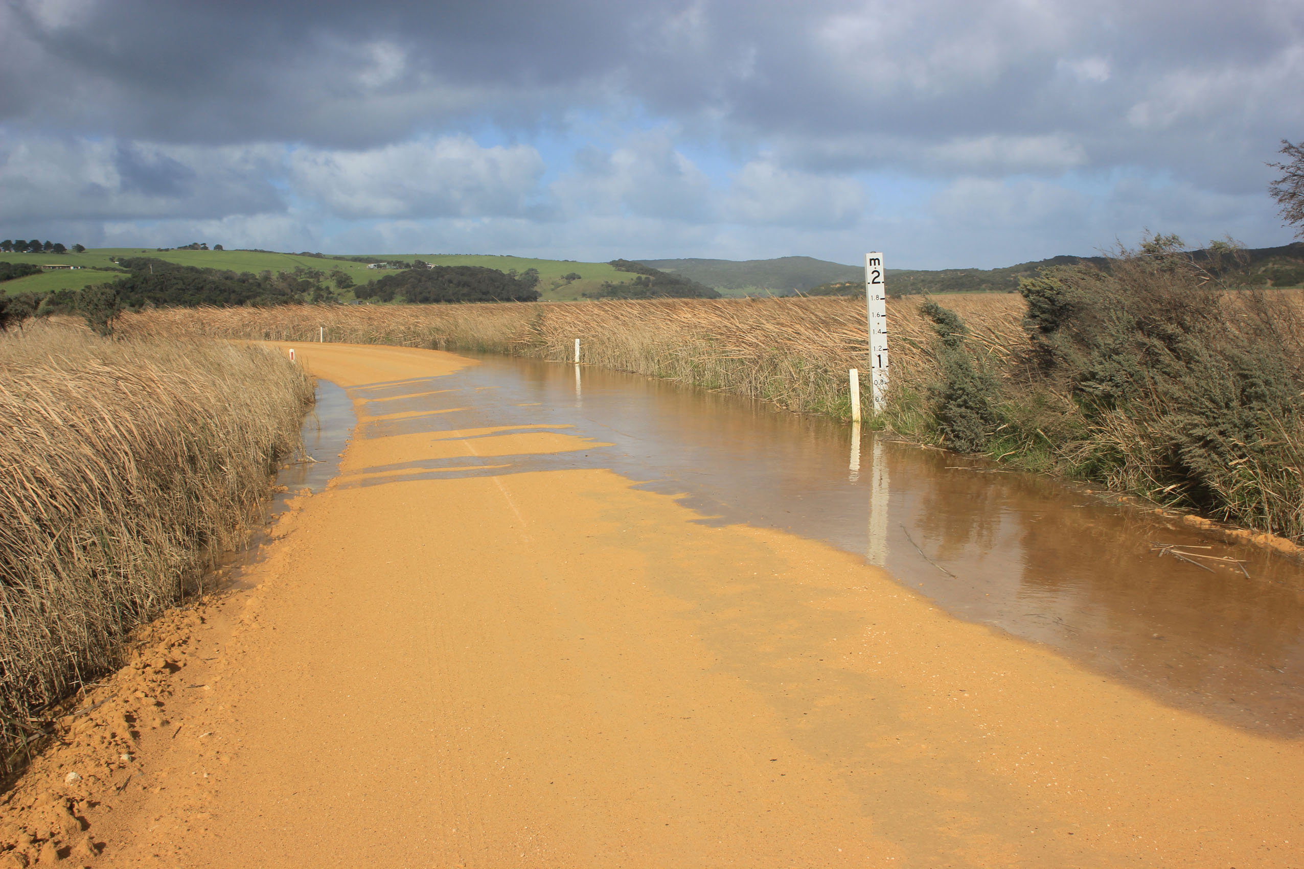
Ge_20140624_WE_OOR_6050
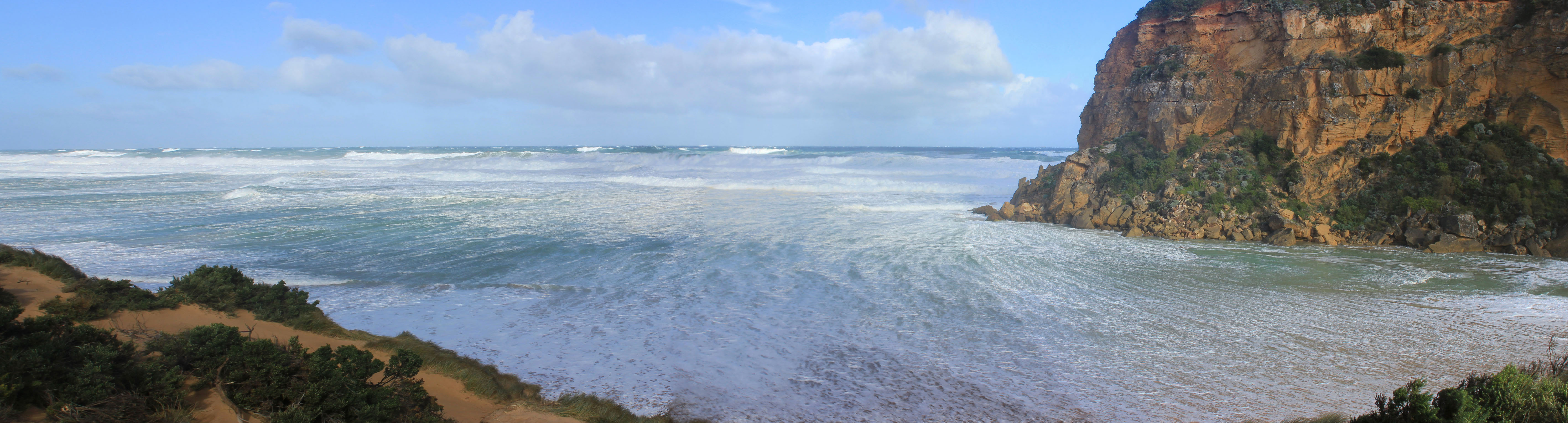
Gp1_20140624_WE_6020

All content, files, data and images provided by the EstuaryWatch Data Portal and Gallery are subject to a Creative Commons Attribution License
Content is made available to be used in any way, and should always attribute EstuaryWatch and www.estuarywatch.org.au