EstuaryWatch Data Portal
Estuary event details
| Estuary | Gellibrand River Estuary |
|---|---|
| Region | Corangamite CMA |
| Event type | Estuary Entrance Opening |
| Date and time | 4 February 2015 09:30am |
| Description |
Hi Rose, Interesting day AHD G6 1.22 @ 09:00 G2 1.23 @ 09:30 8481 Very big change from 29/01/15 The berm is now only 14m. wide at the narrowest/lowest part -height from river to top of berm 0.35m and height from sea to the top of the berm is 0.5m. However the river is actually running out into the sea in a small channel through & under the rocks against the cliff. While the river may have moved forward toward the sea the channel is extremely shallow 8493 shows entry to channel through rocks 8495 water flowing under rocks 8457 entering ocean. At this point there is currently some exchange with waves but higher up none. However at hi tide ( 1.06 @ 02:11) it is likely that the waves were over this area & also the berm More coming Judy |
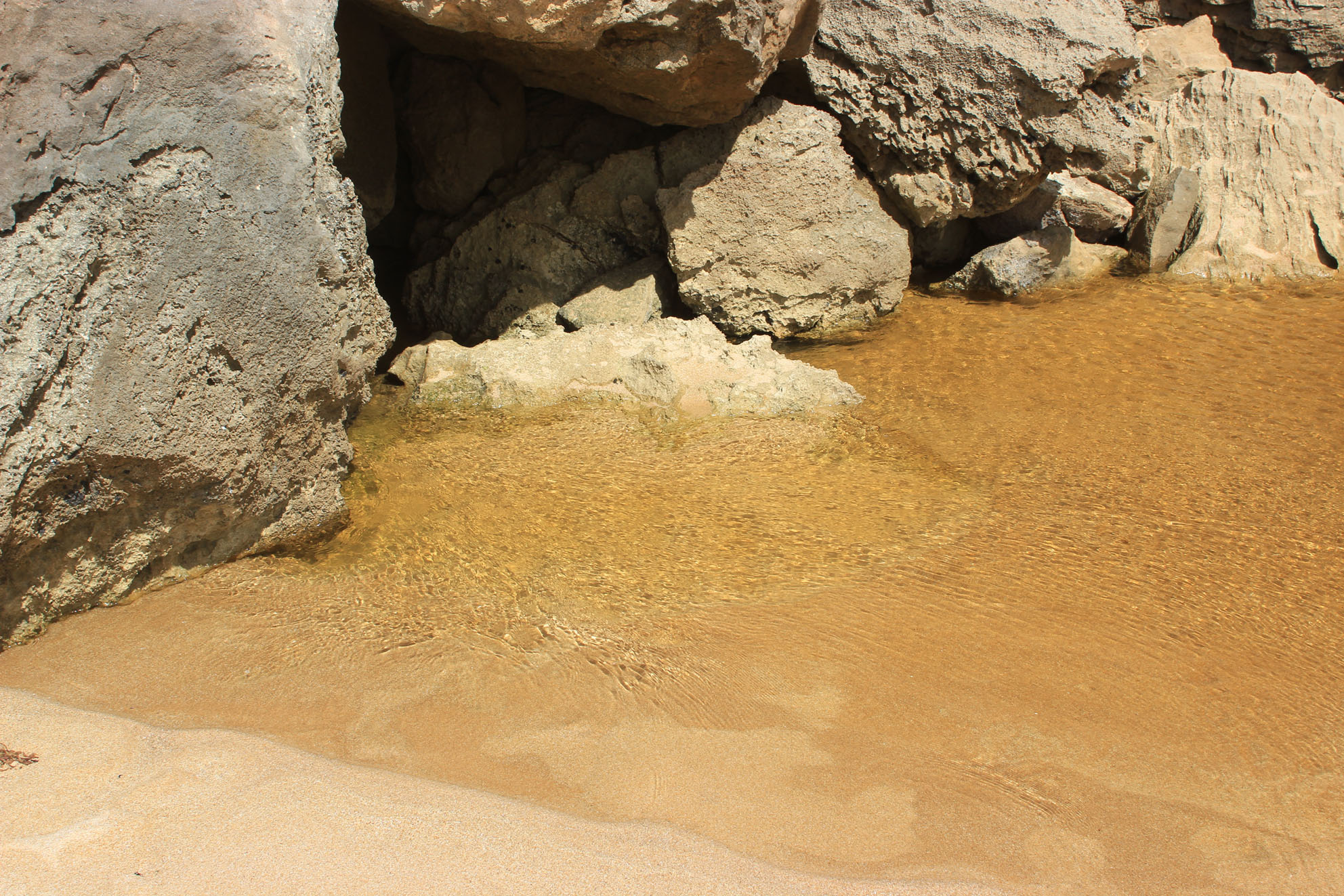
8457 entering ocean. At this point there is currently some exchange with waves but higher up none. However at hi tide ( 1.06 @ 02:11) it is likely that the waves were over this area & also the berm
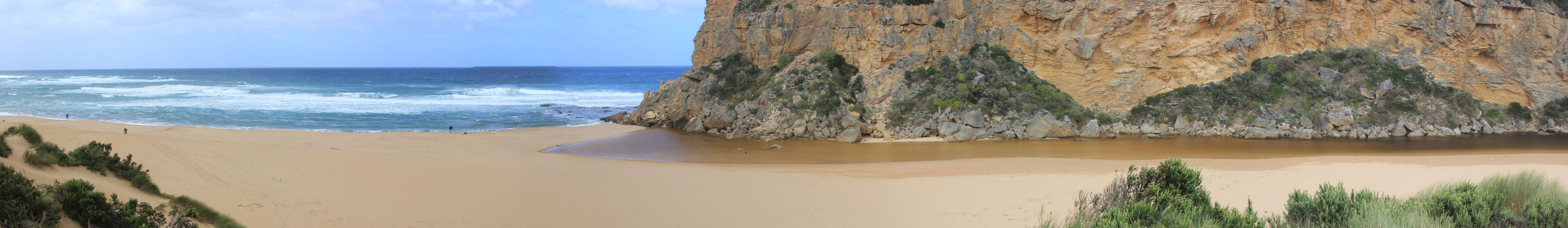
8481 Very big change from 29/01/15 The berm is now only 14m. wide at the narrowest/lowest part
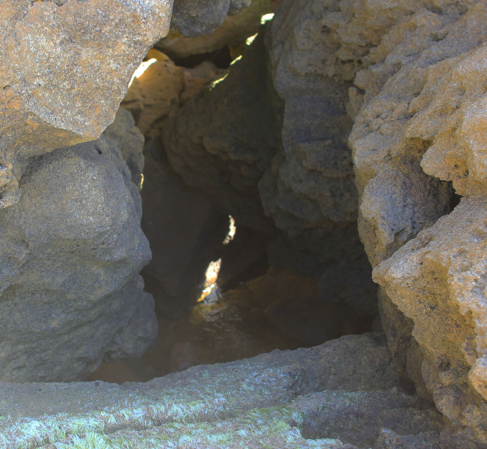
8493 shows entry to channel through rocks
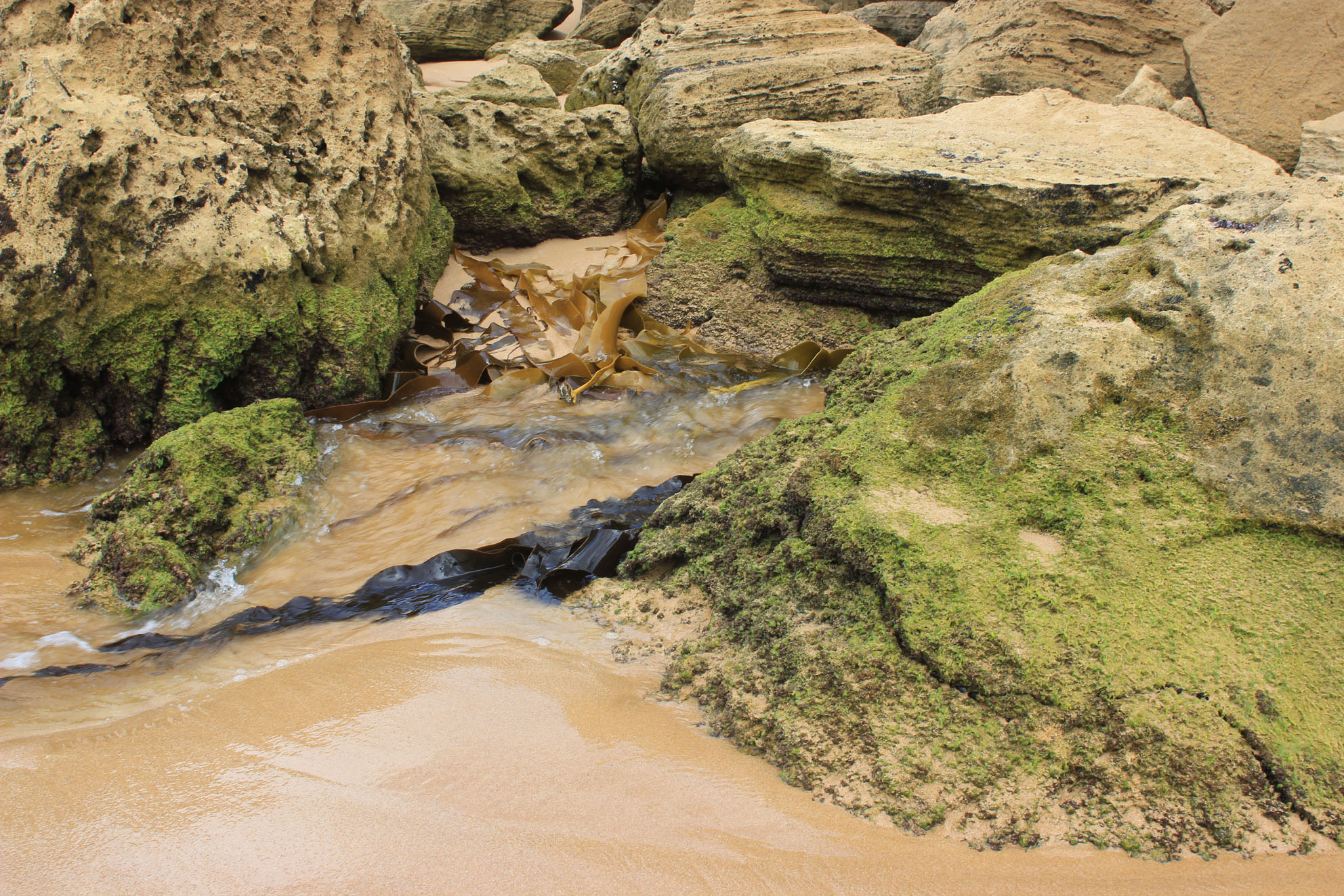
8495 water flowing under rocks

All content, files, data and images provided by the EstuaryWatch Data Portal and Gallery are subject to a Creative Commons Attribution License
Content is made available to be used in any way, and should always attribute EstuaryWatch and www.estuarywatch.org.au