EstuaryWatch Data Portal
SMC Mouth Condition Observation Site
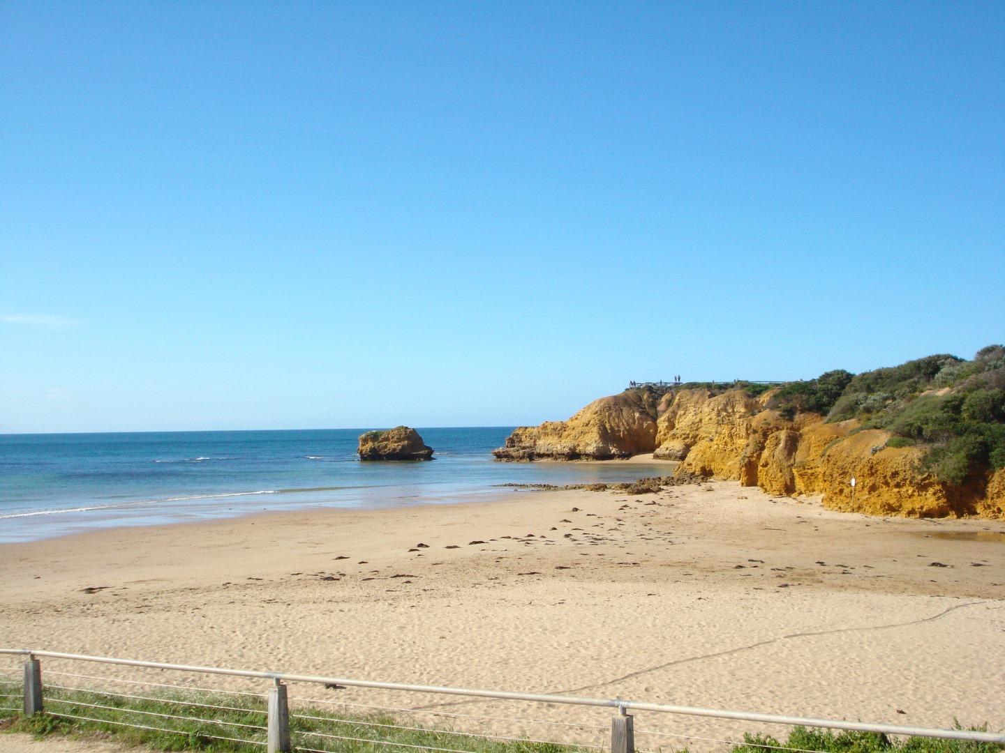
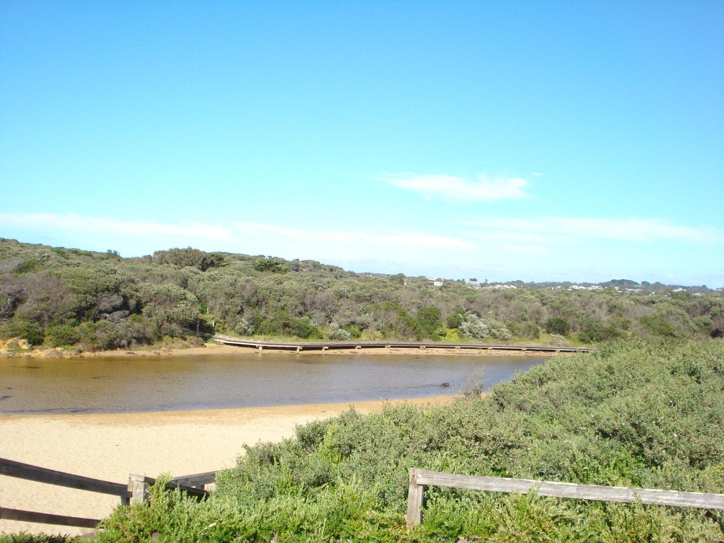
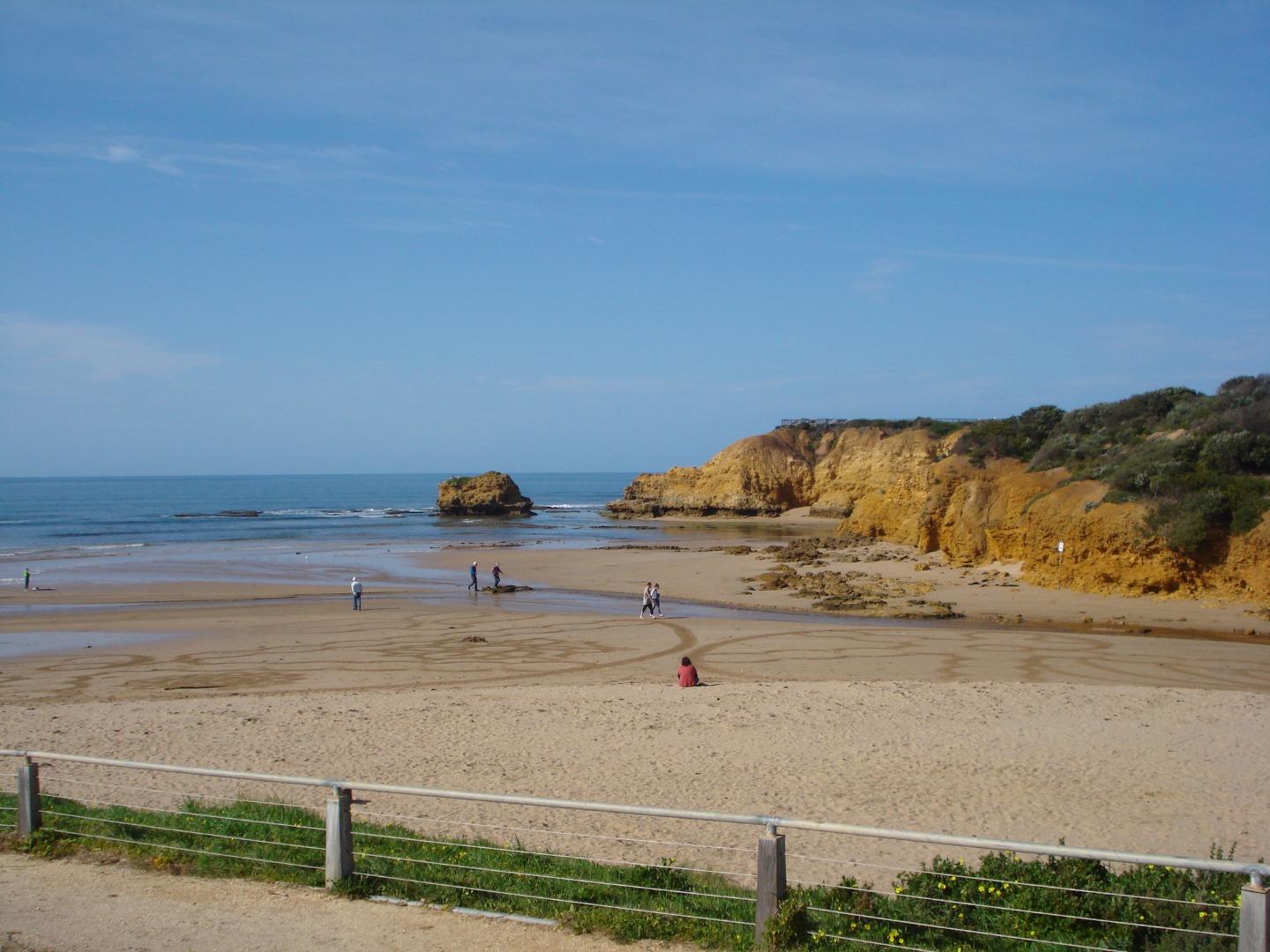
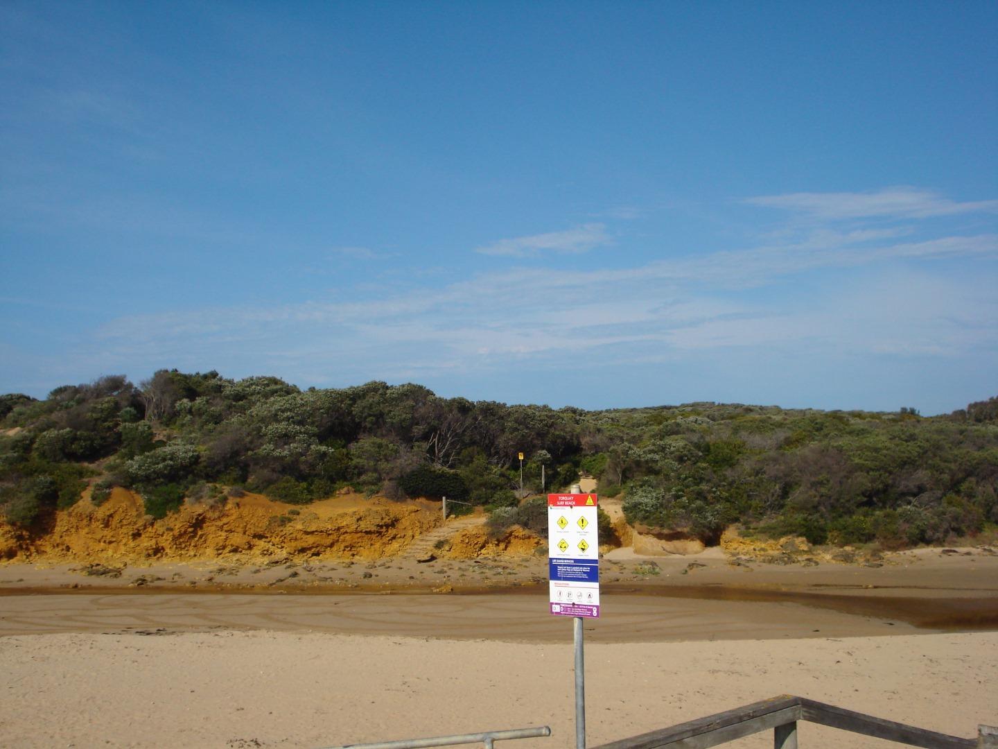
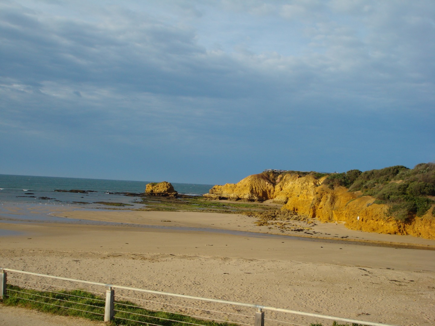
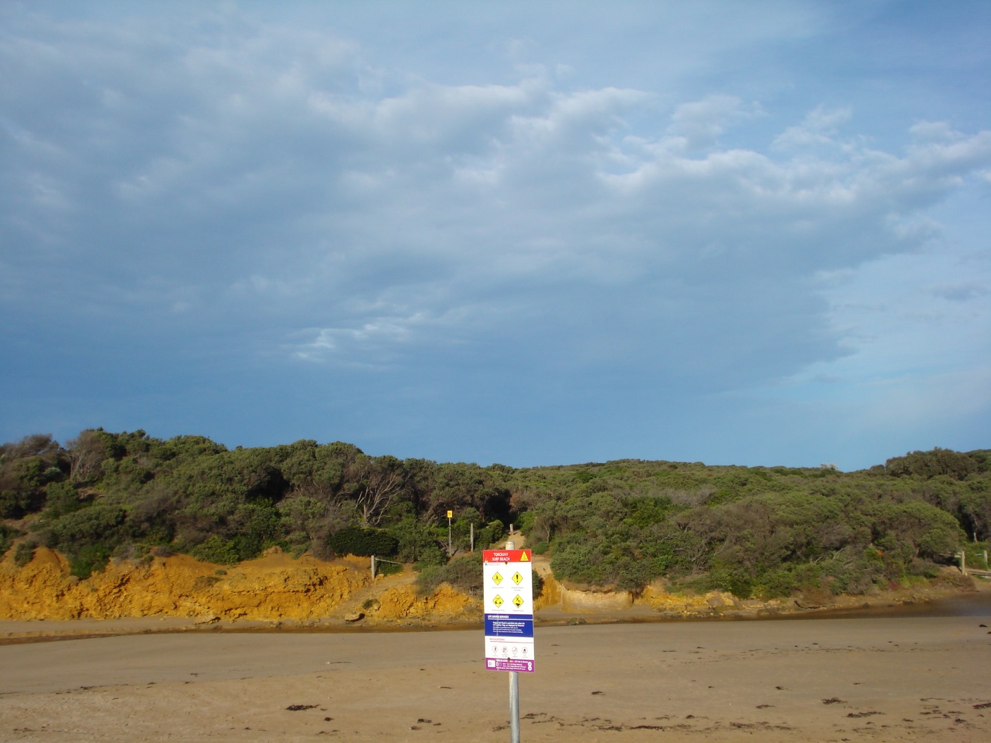
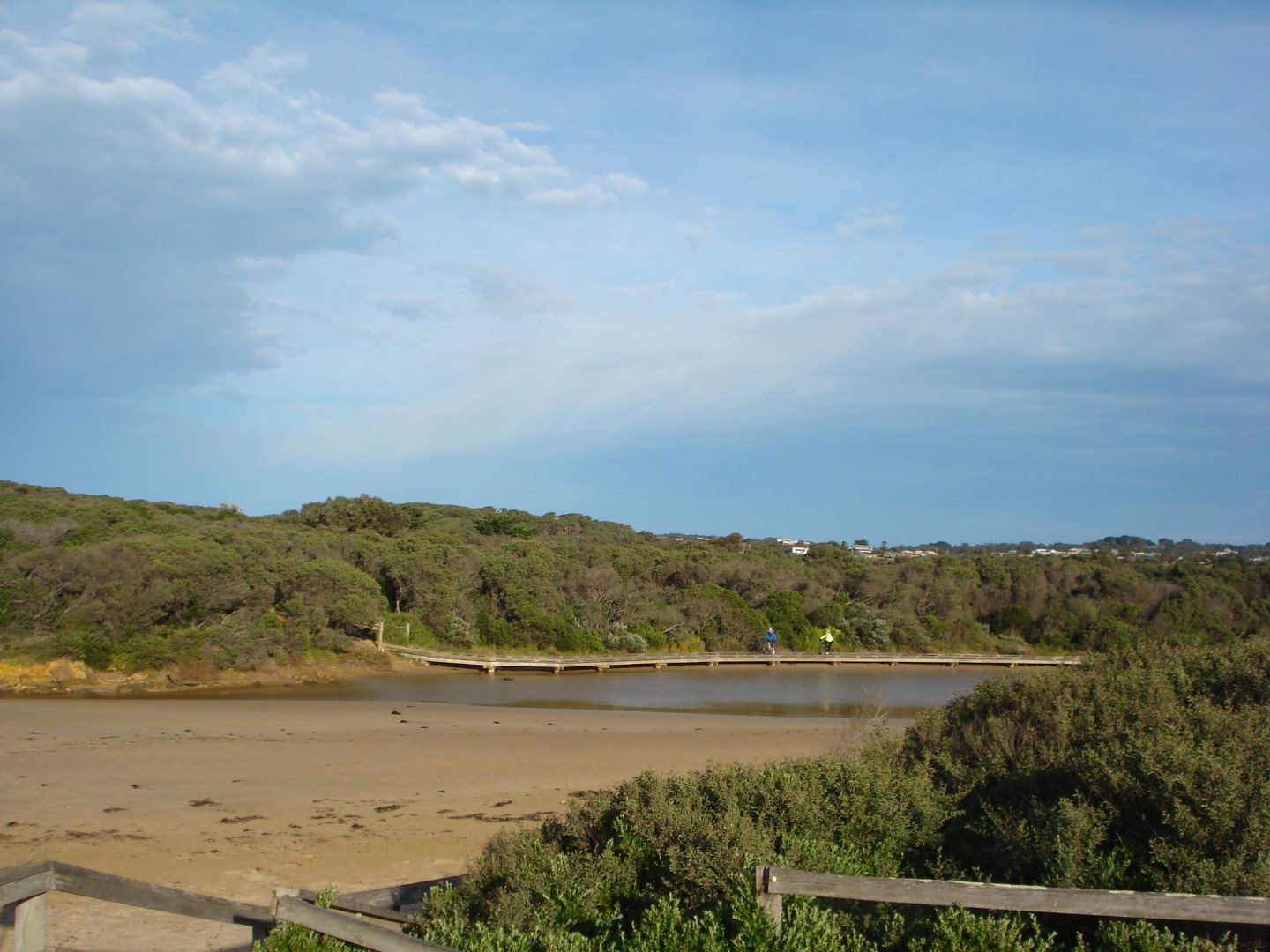
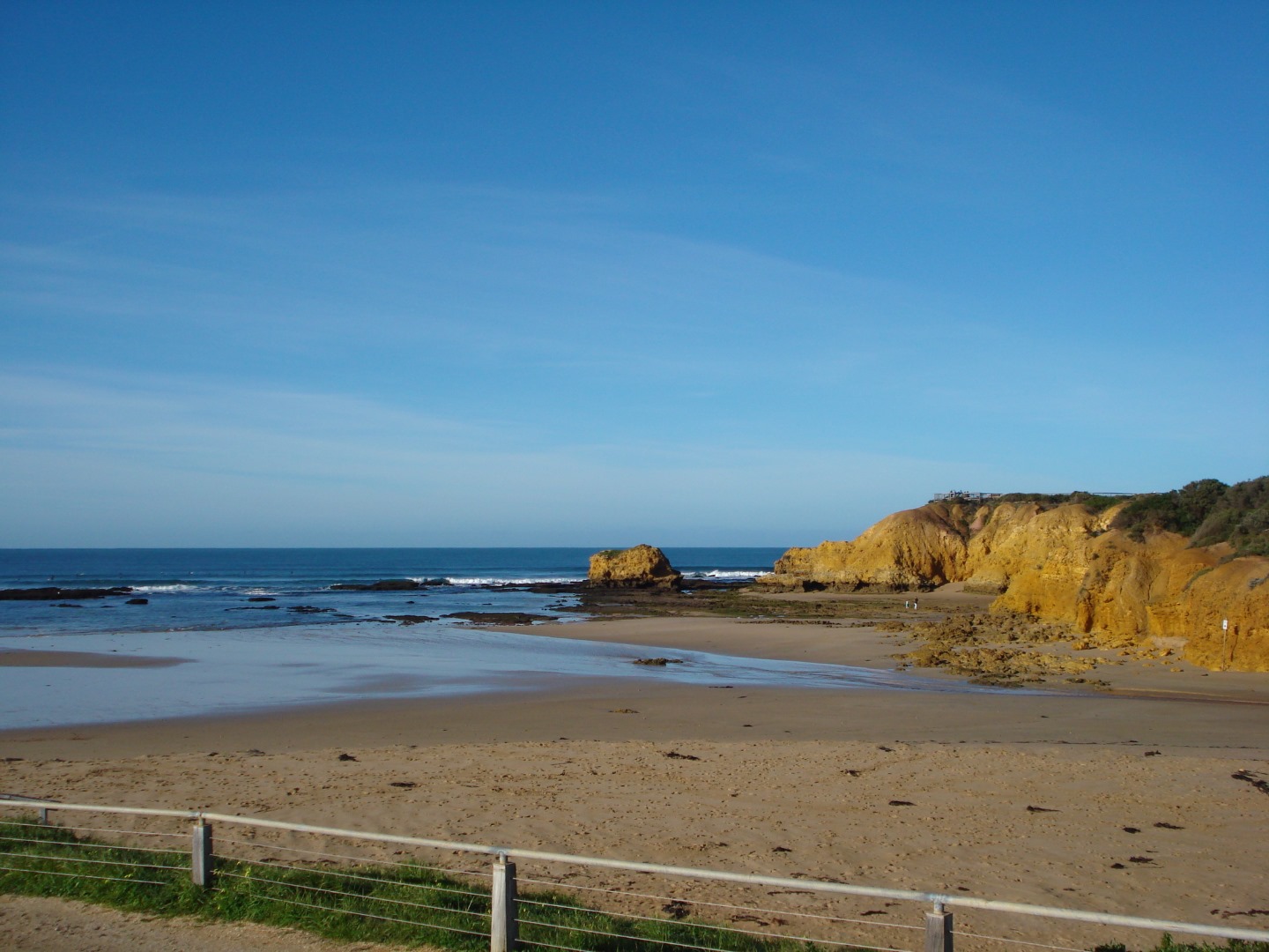
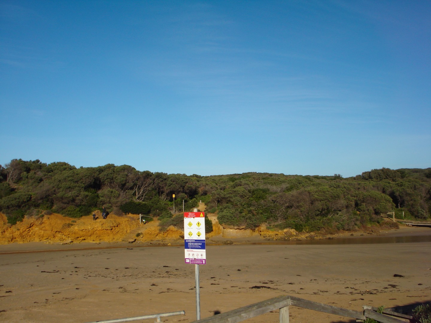
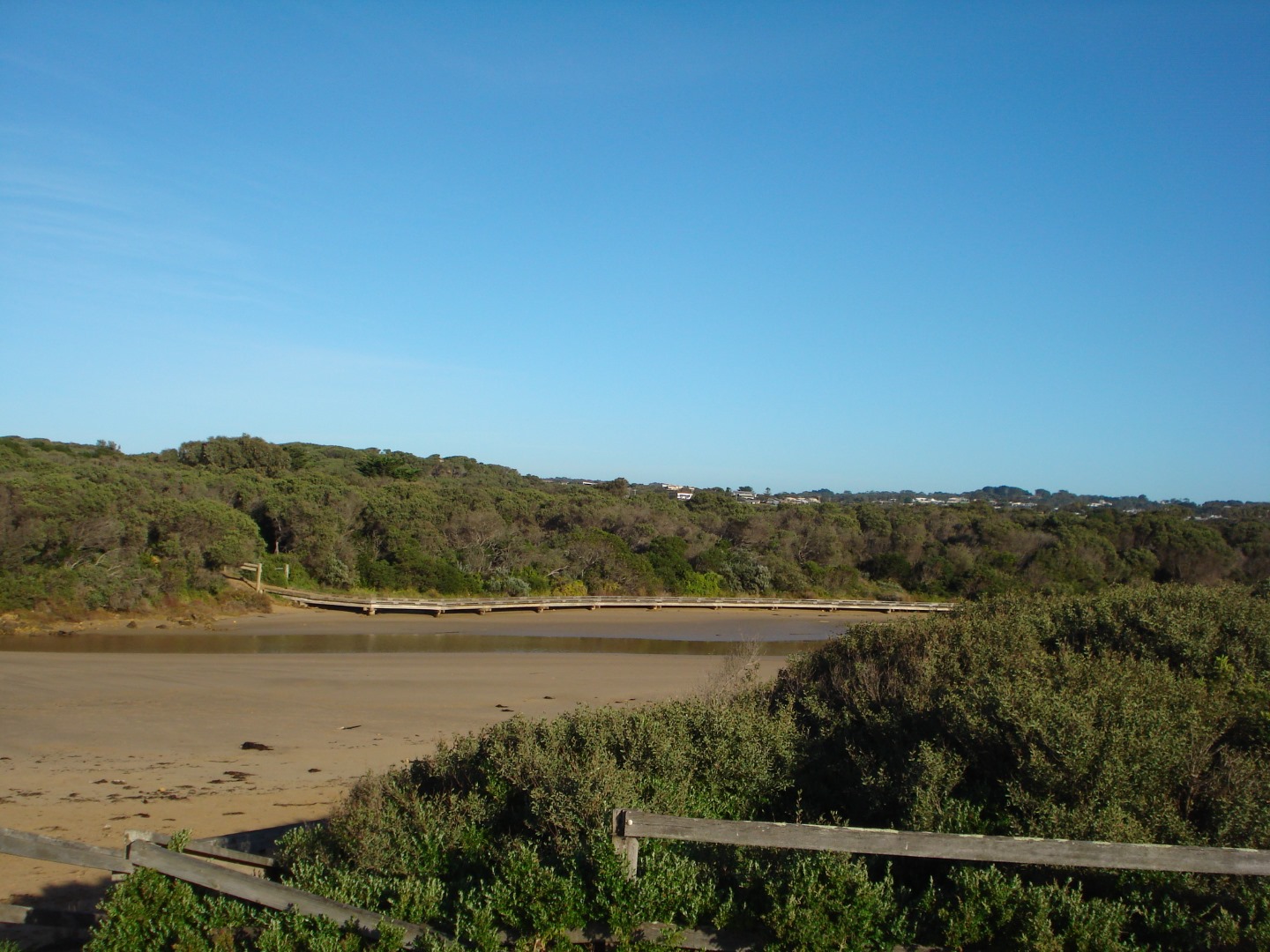
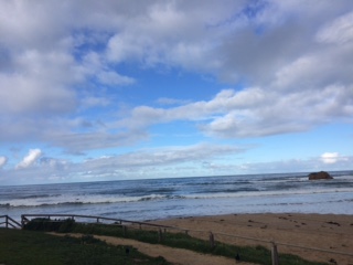
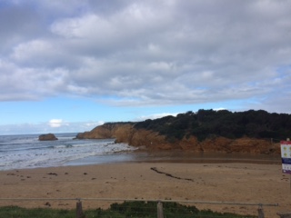
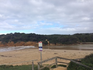
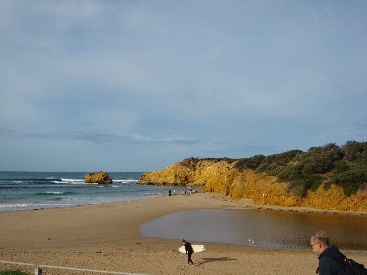
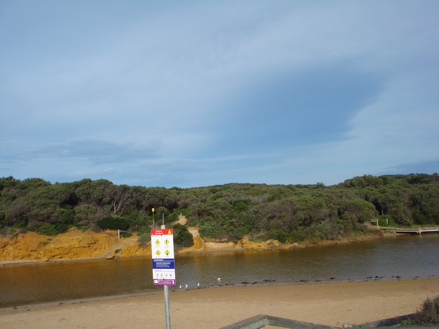
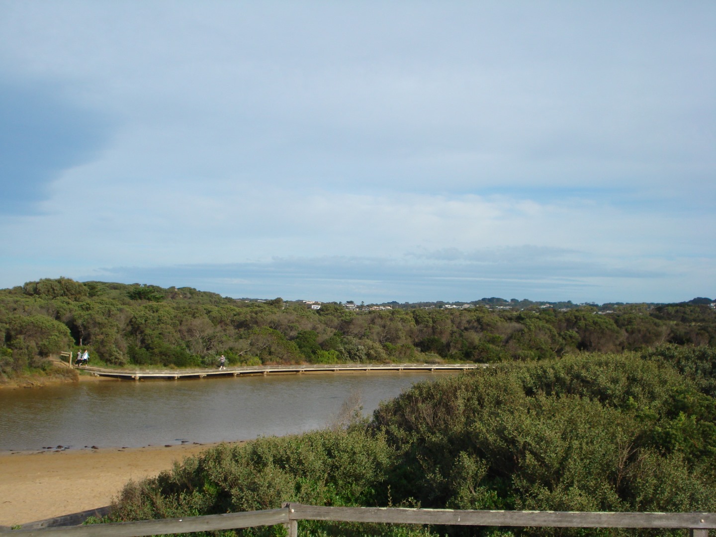
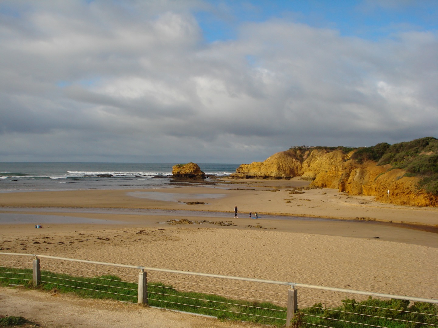
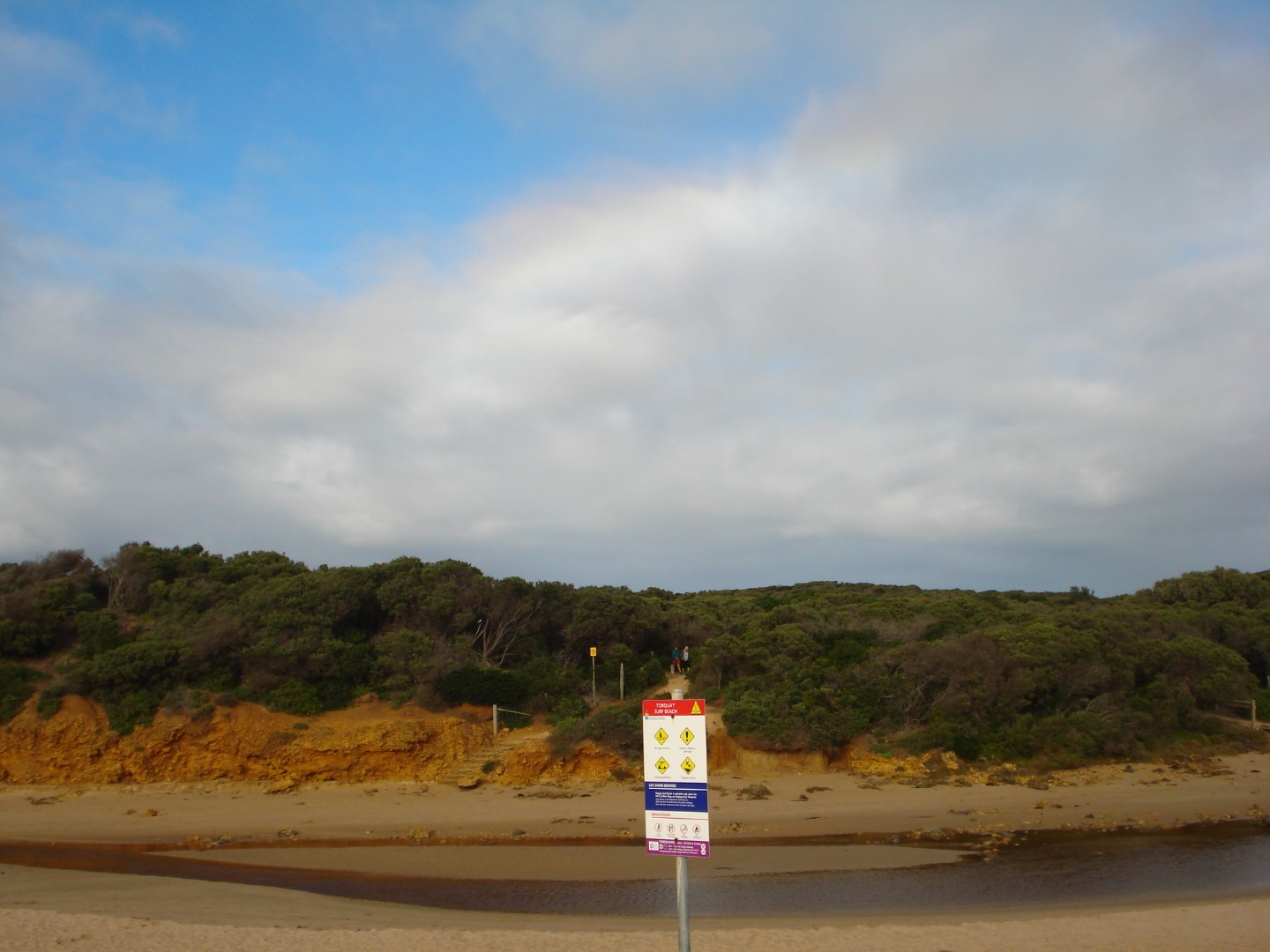
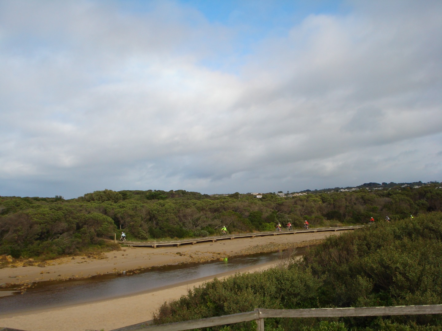
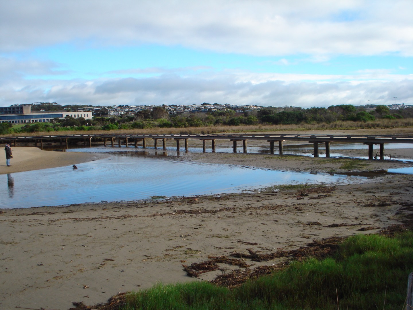
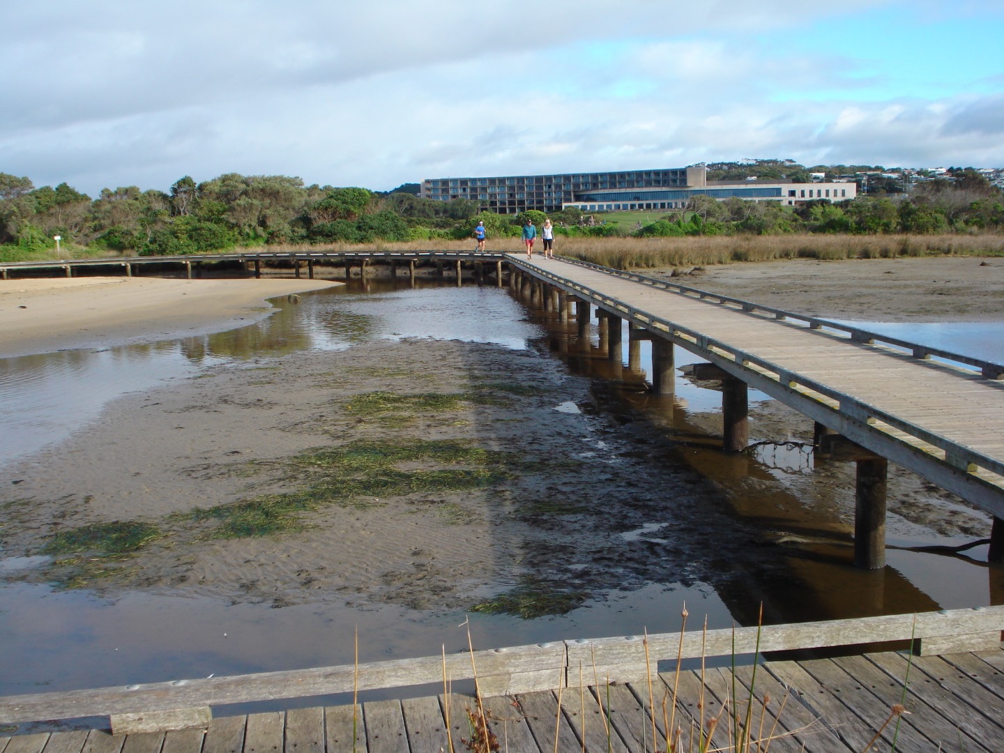
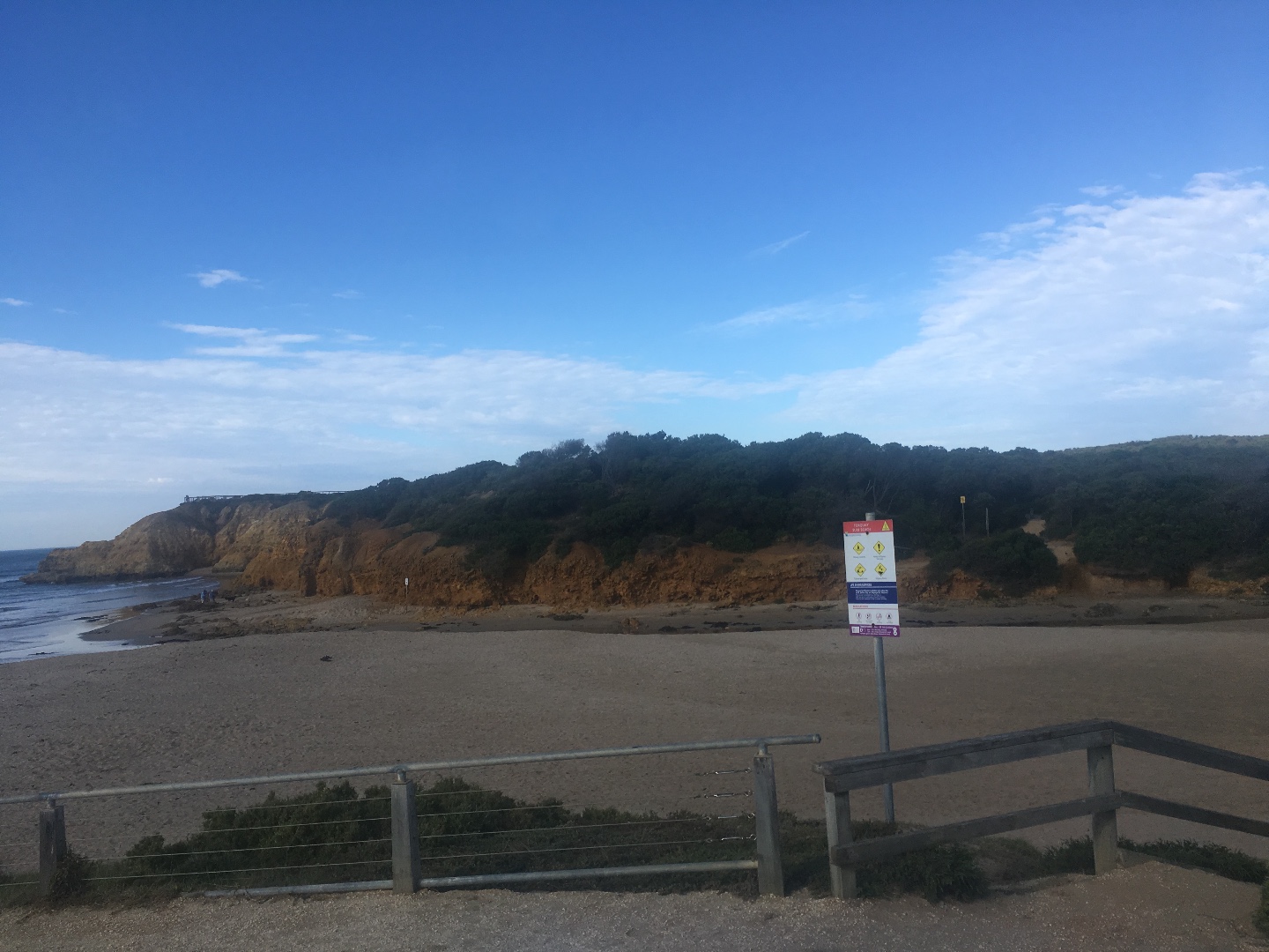
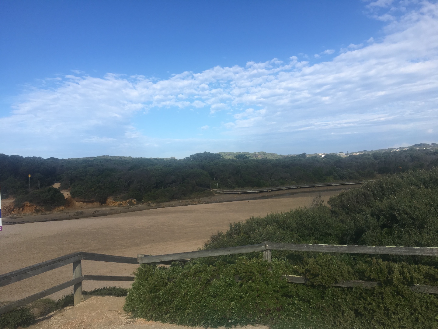
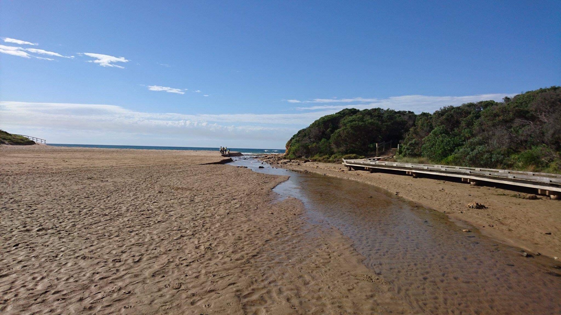
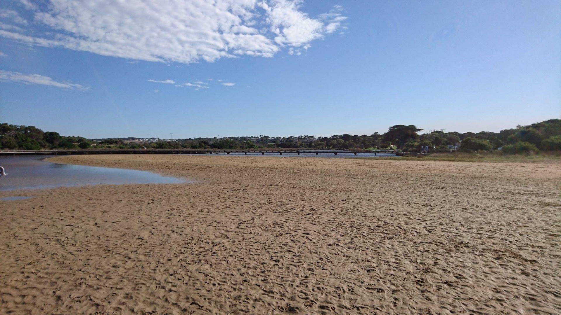
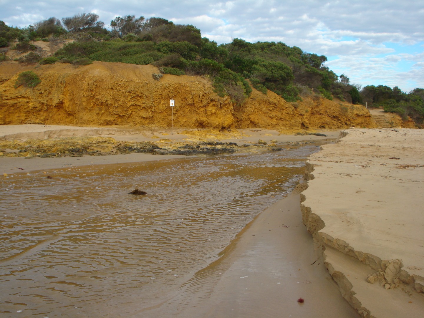
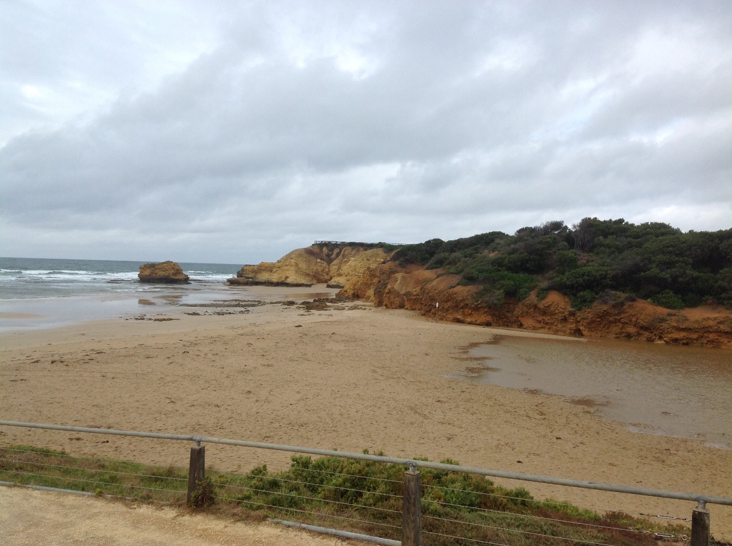
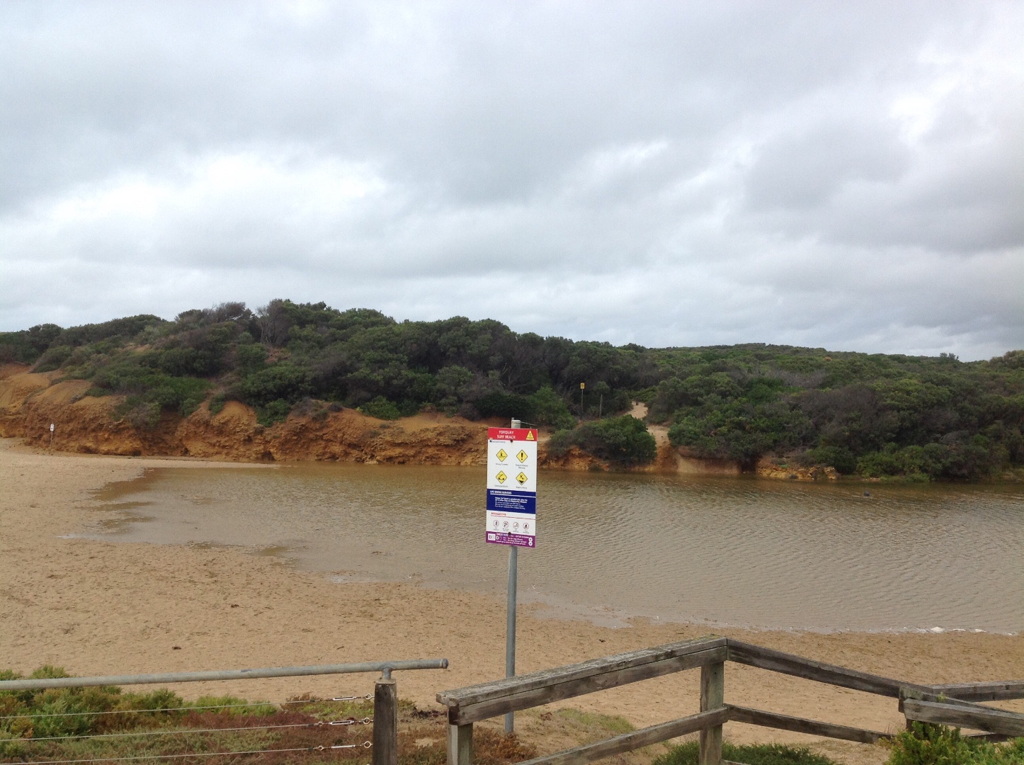
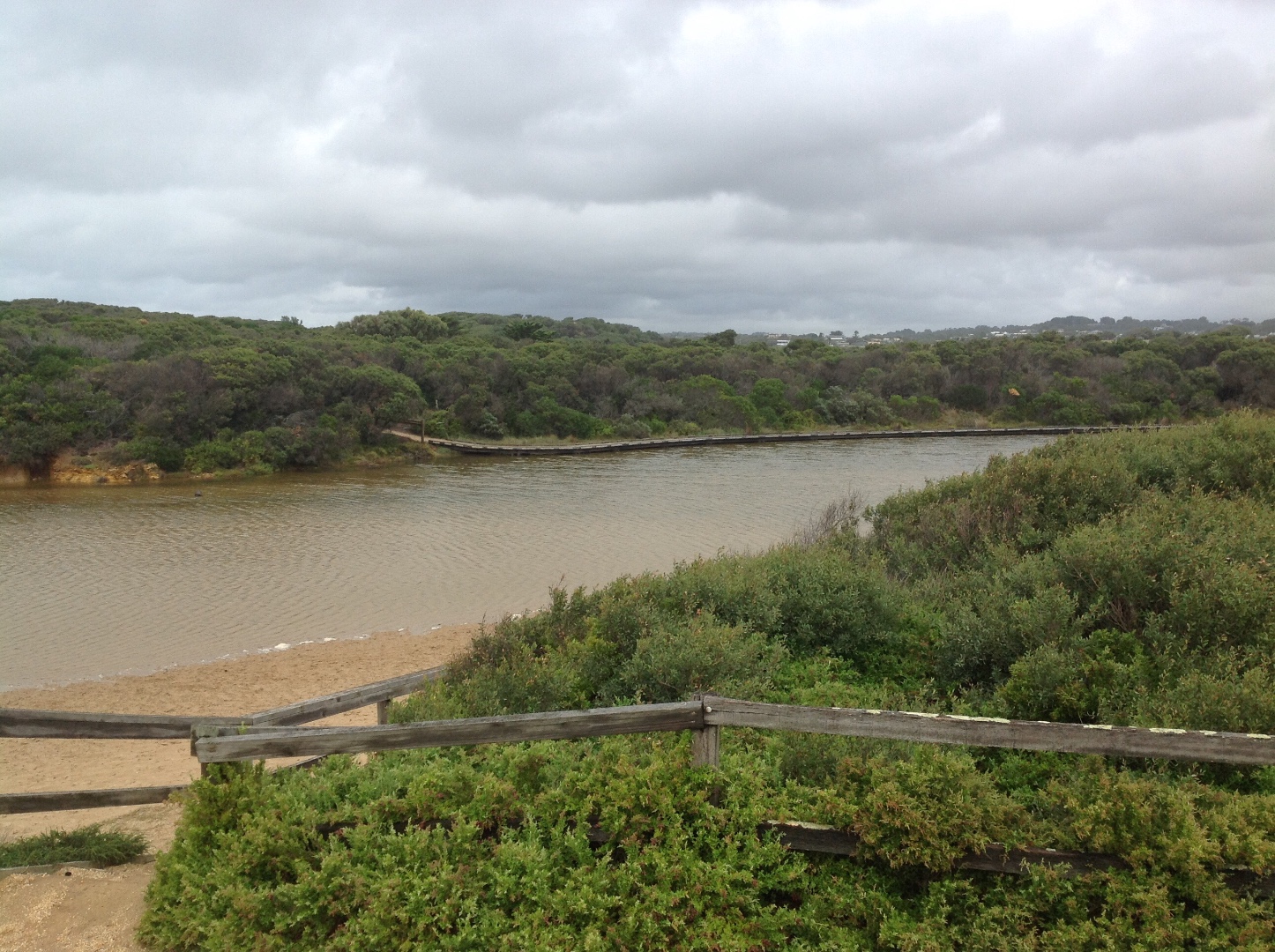
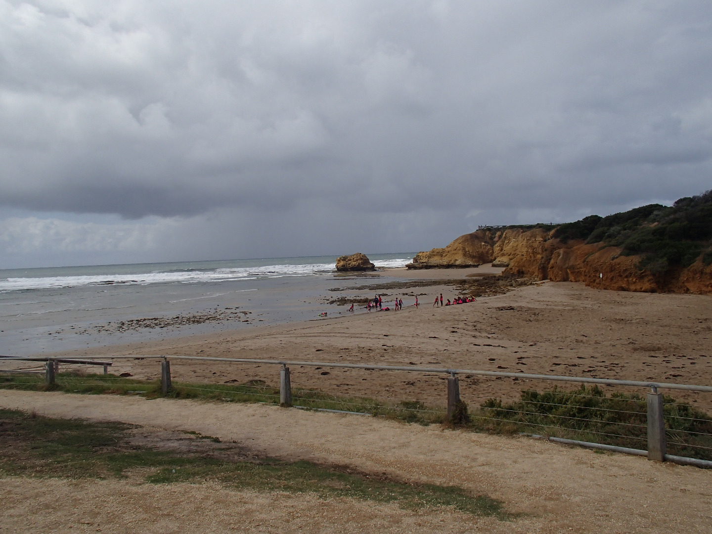
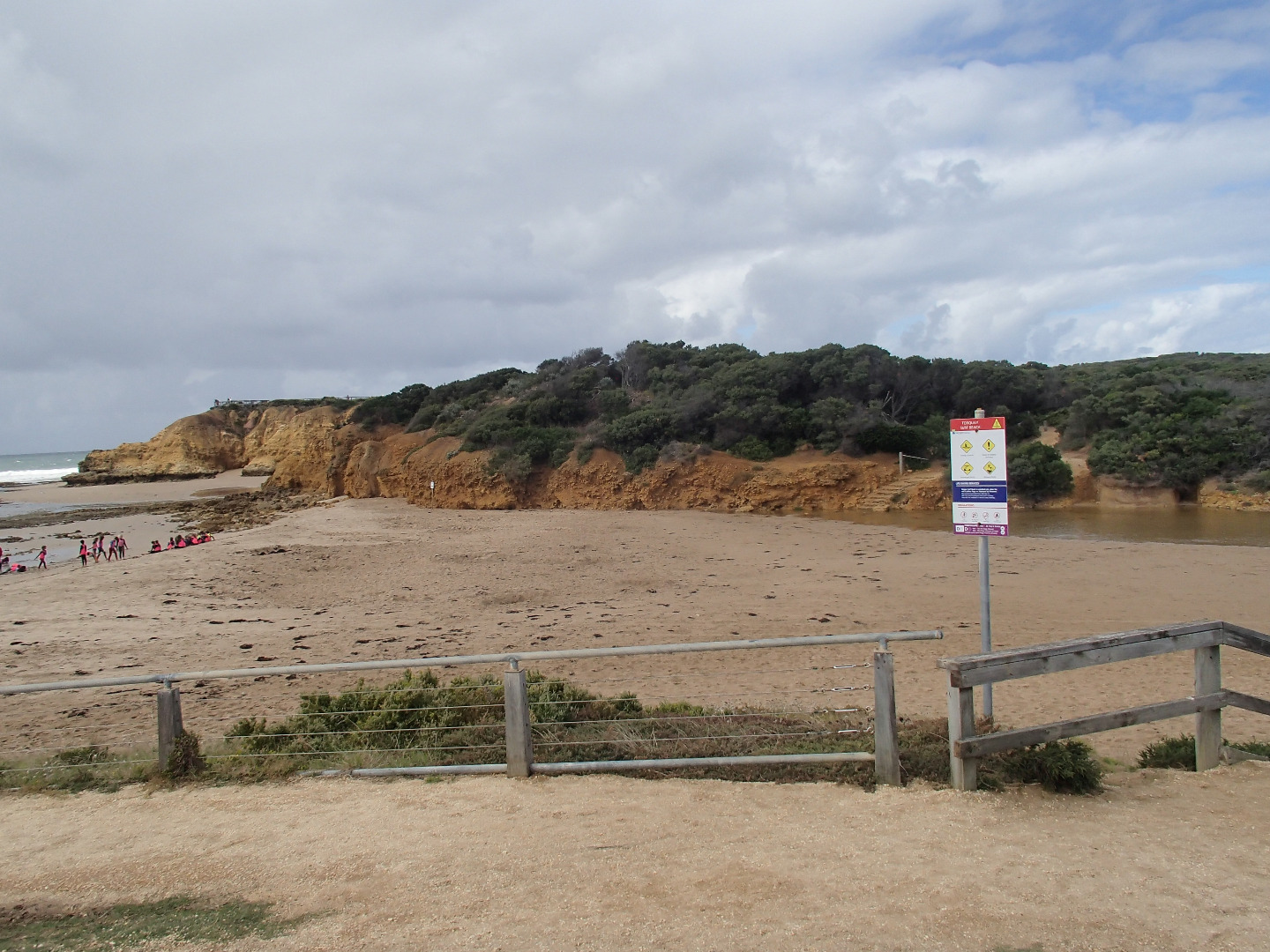
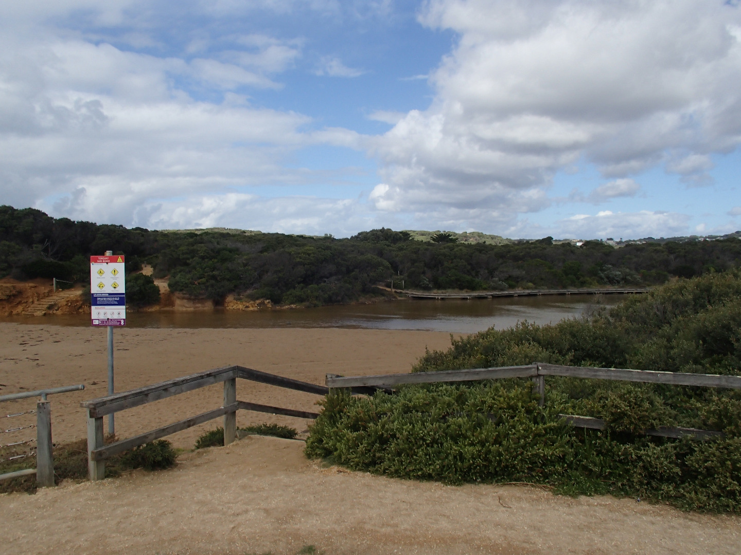
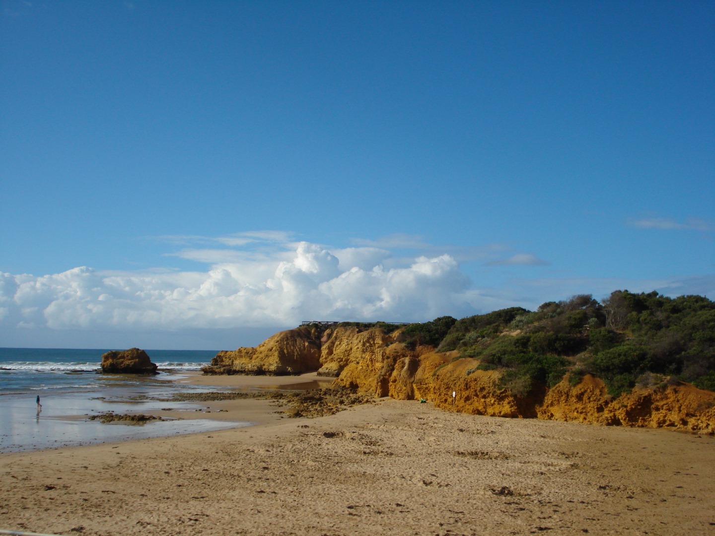
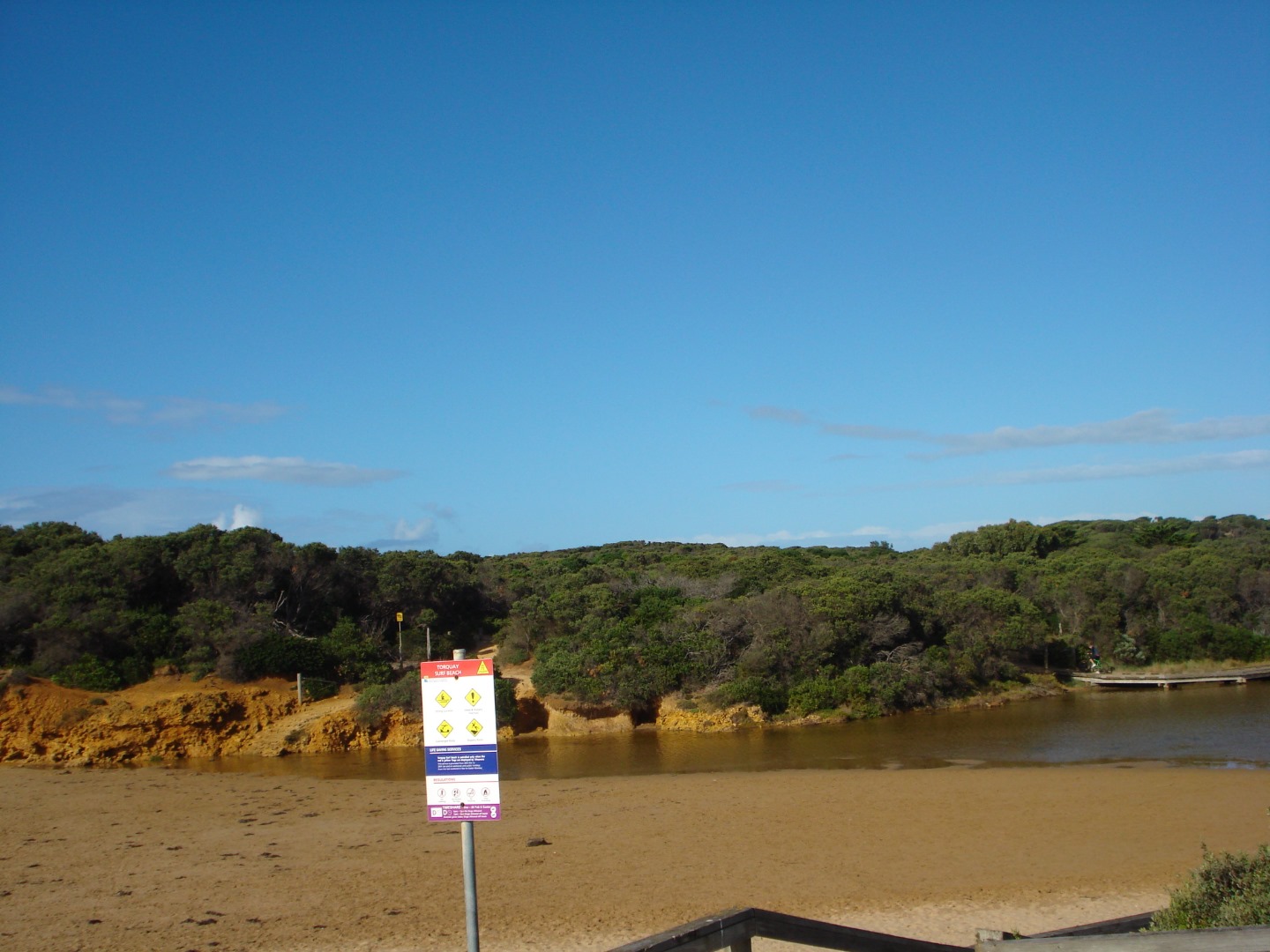
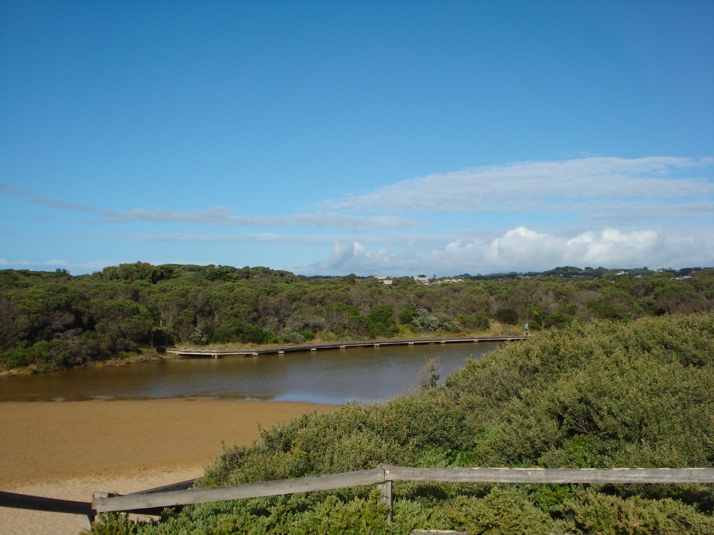
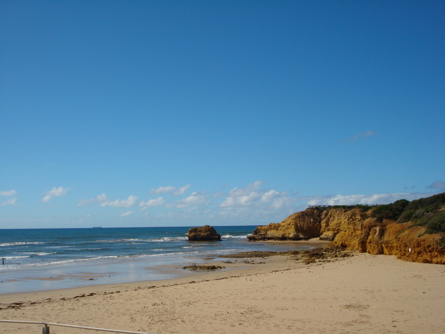
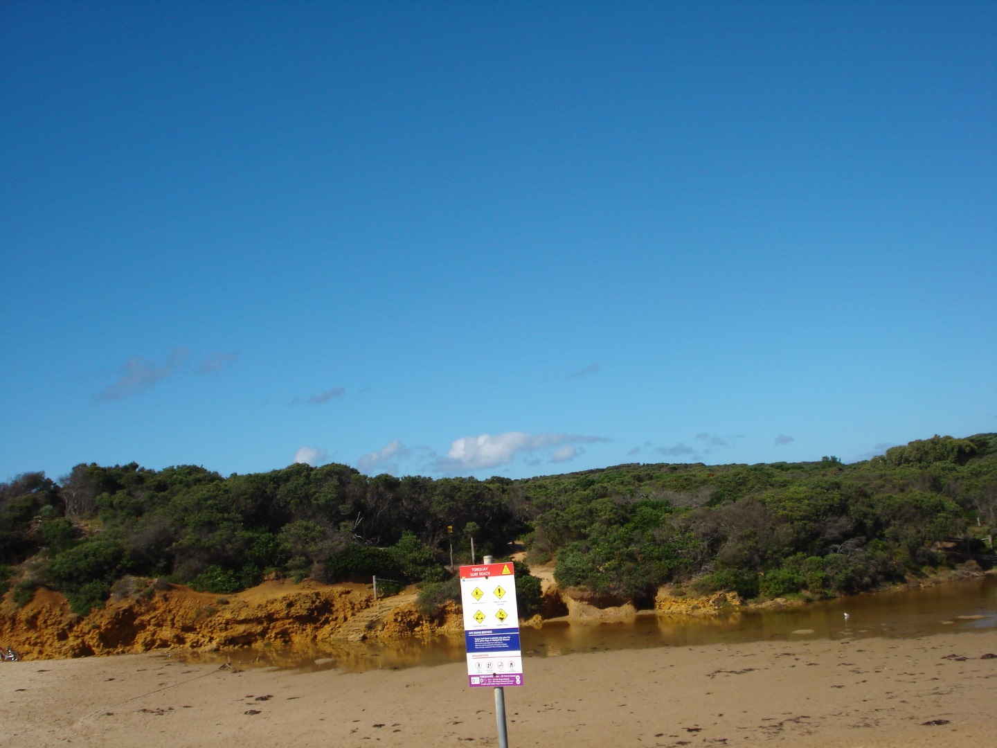
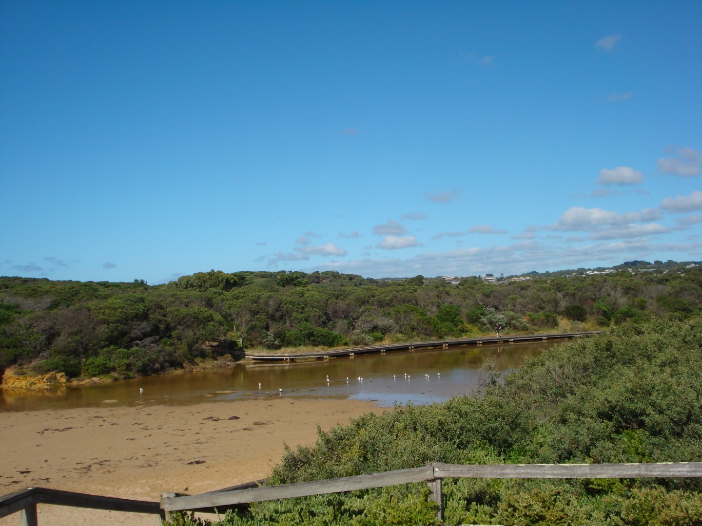
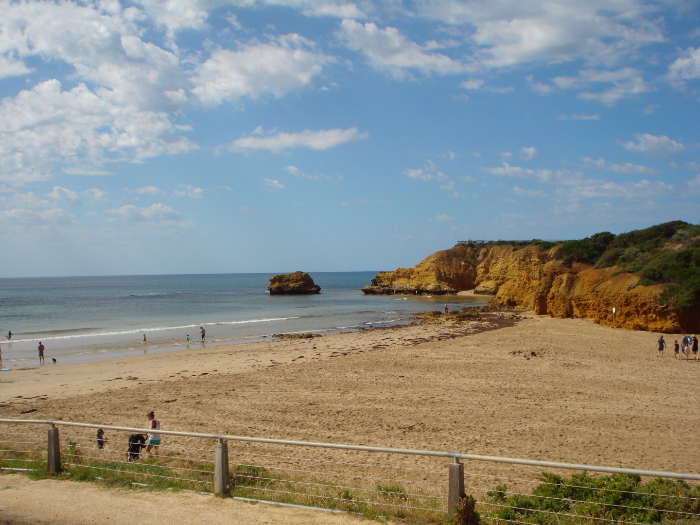
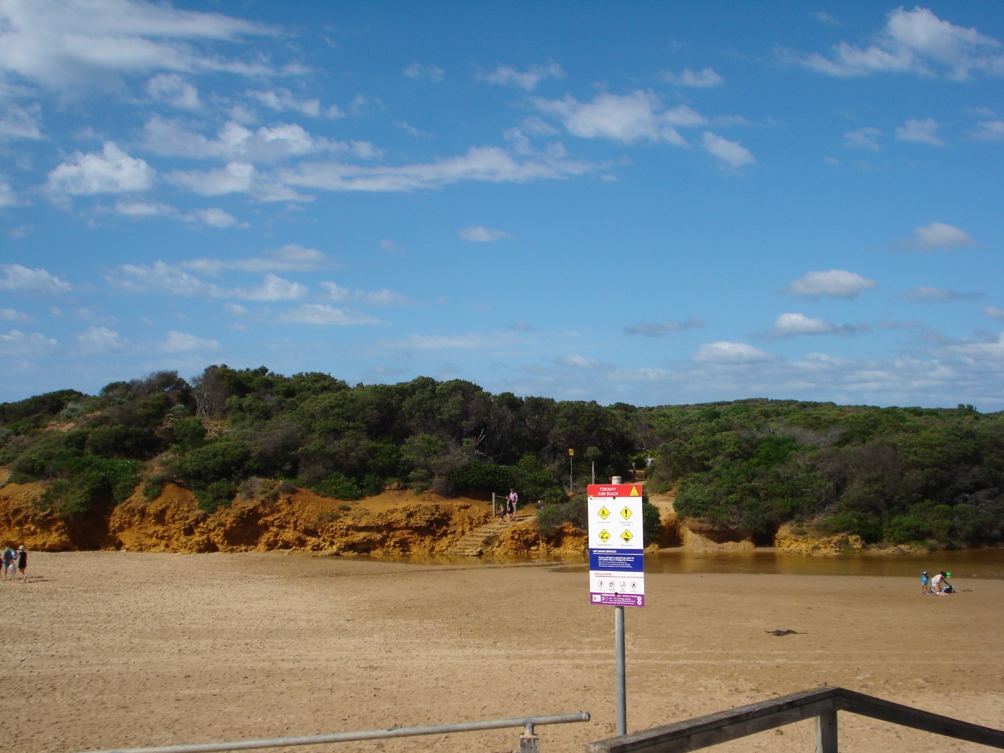
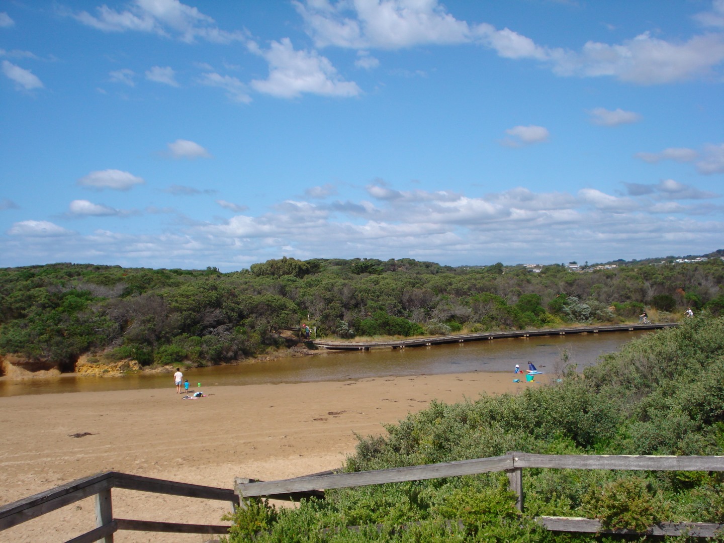
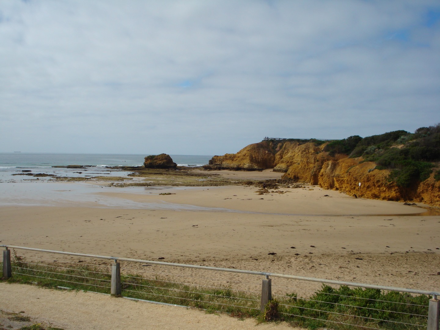
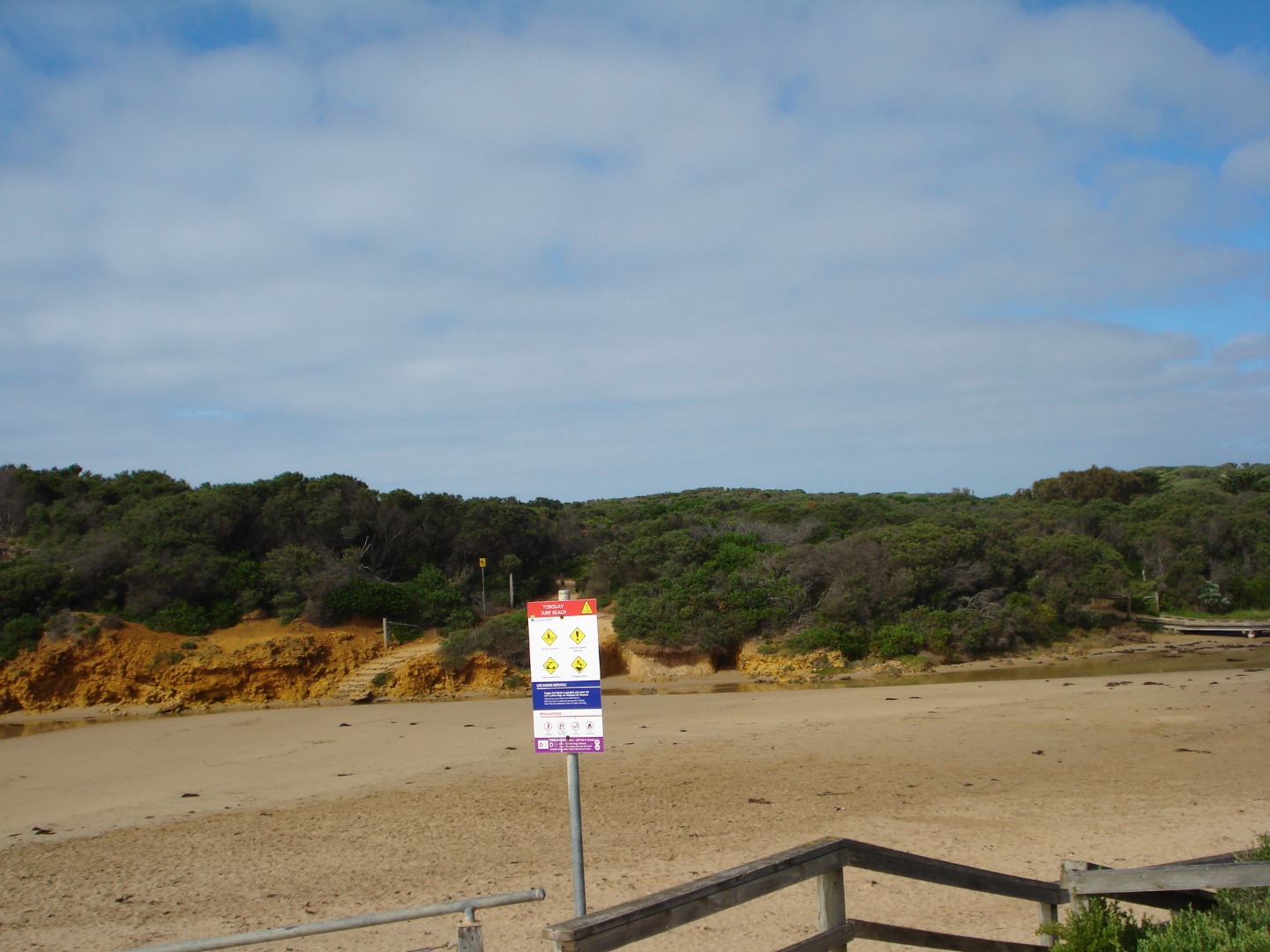
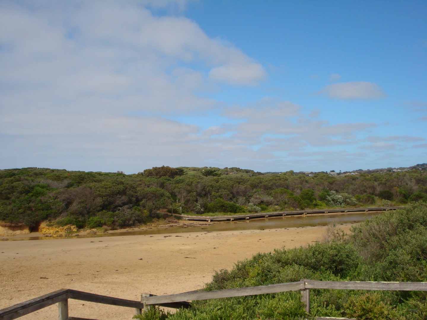
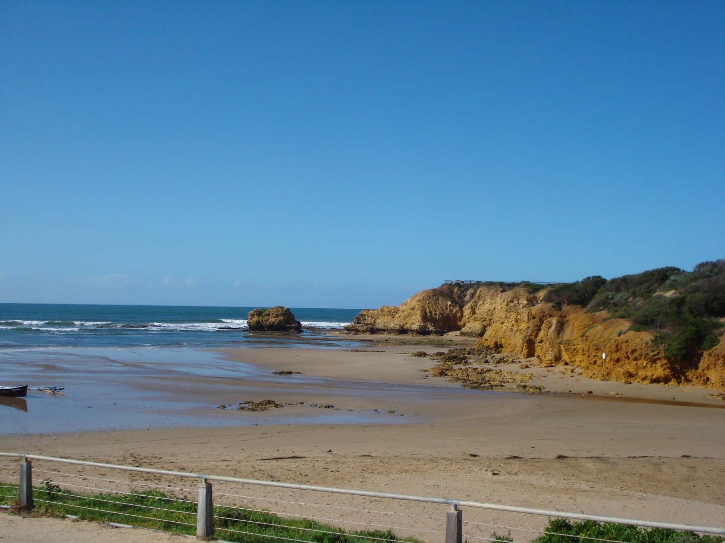
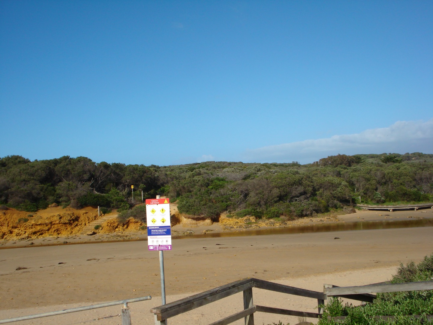
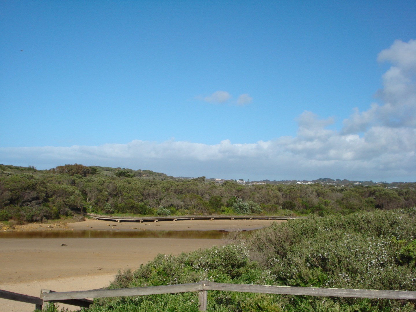
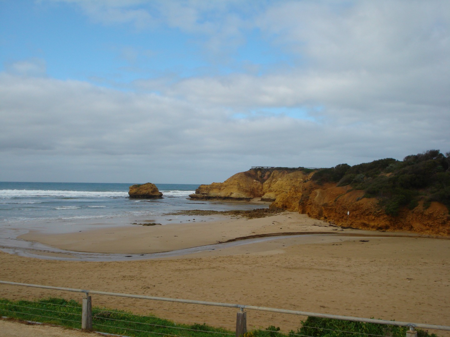
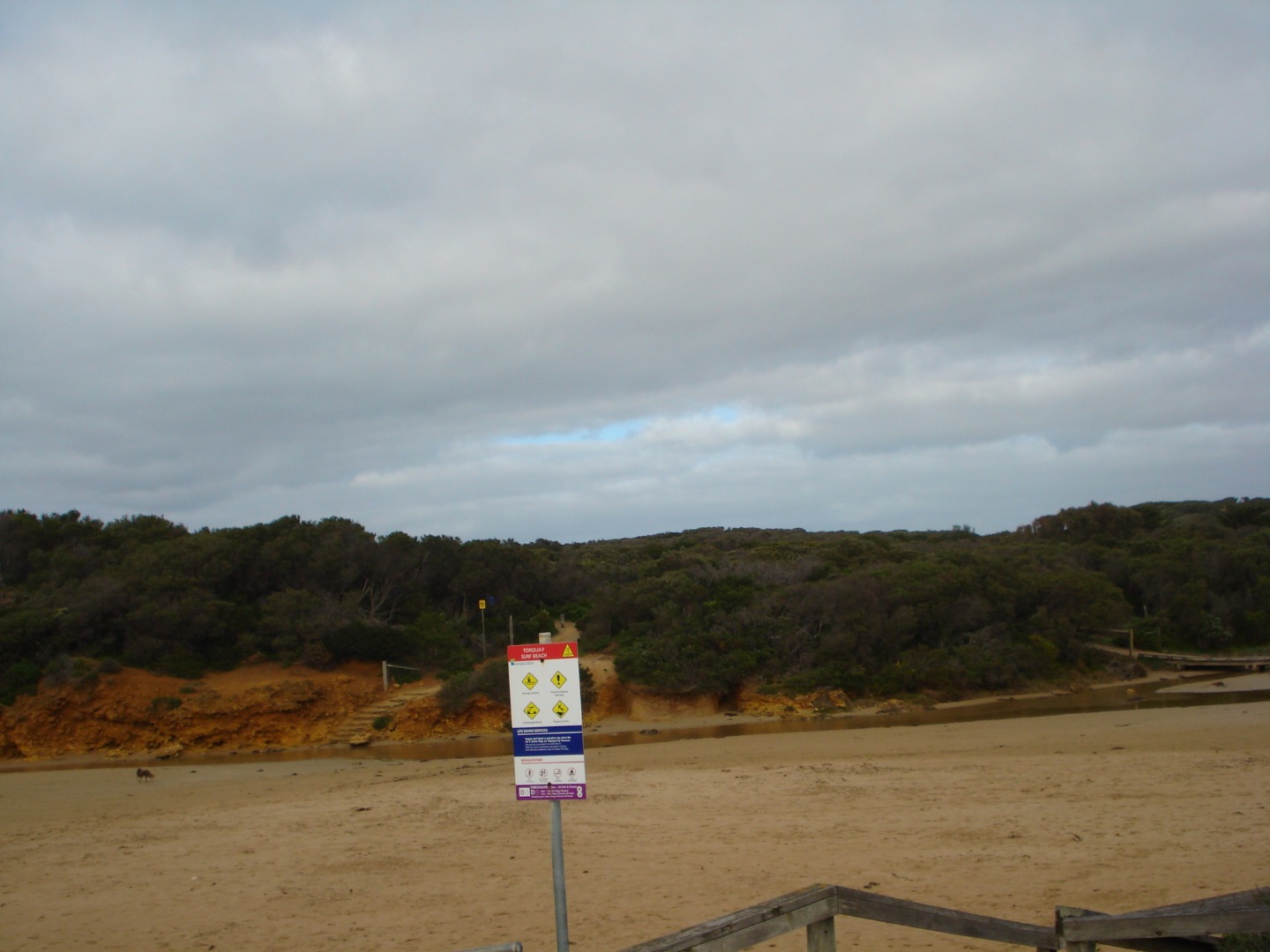
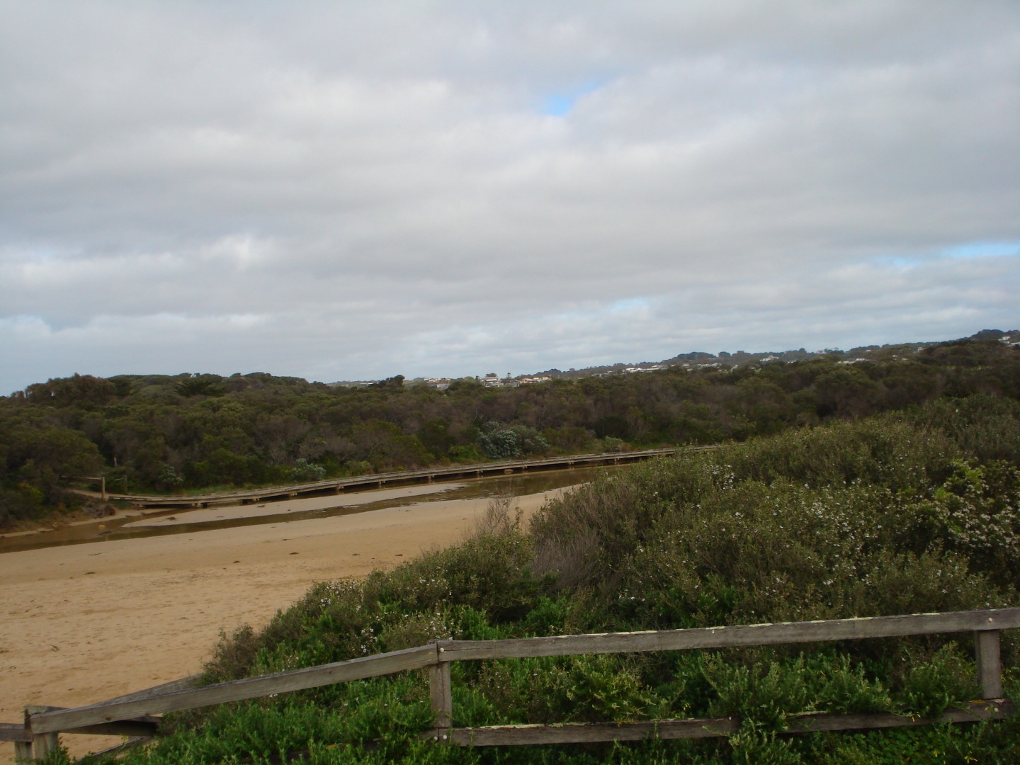
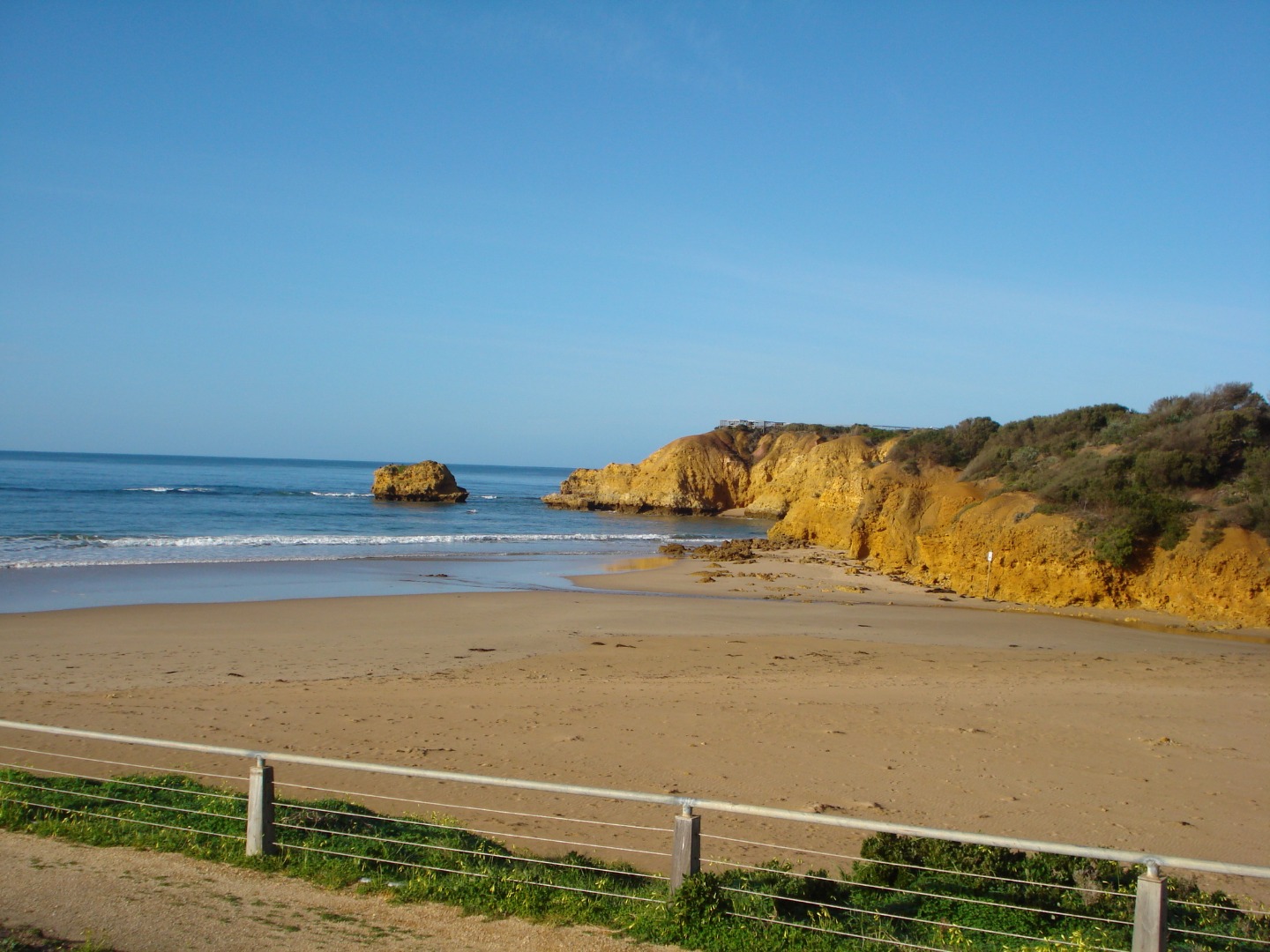
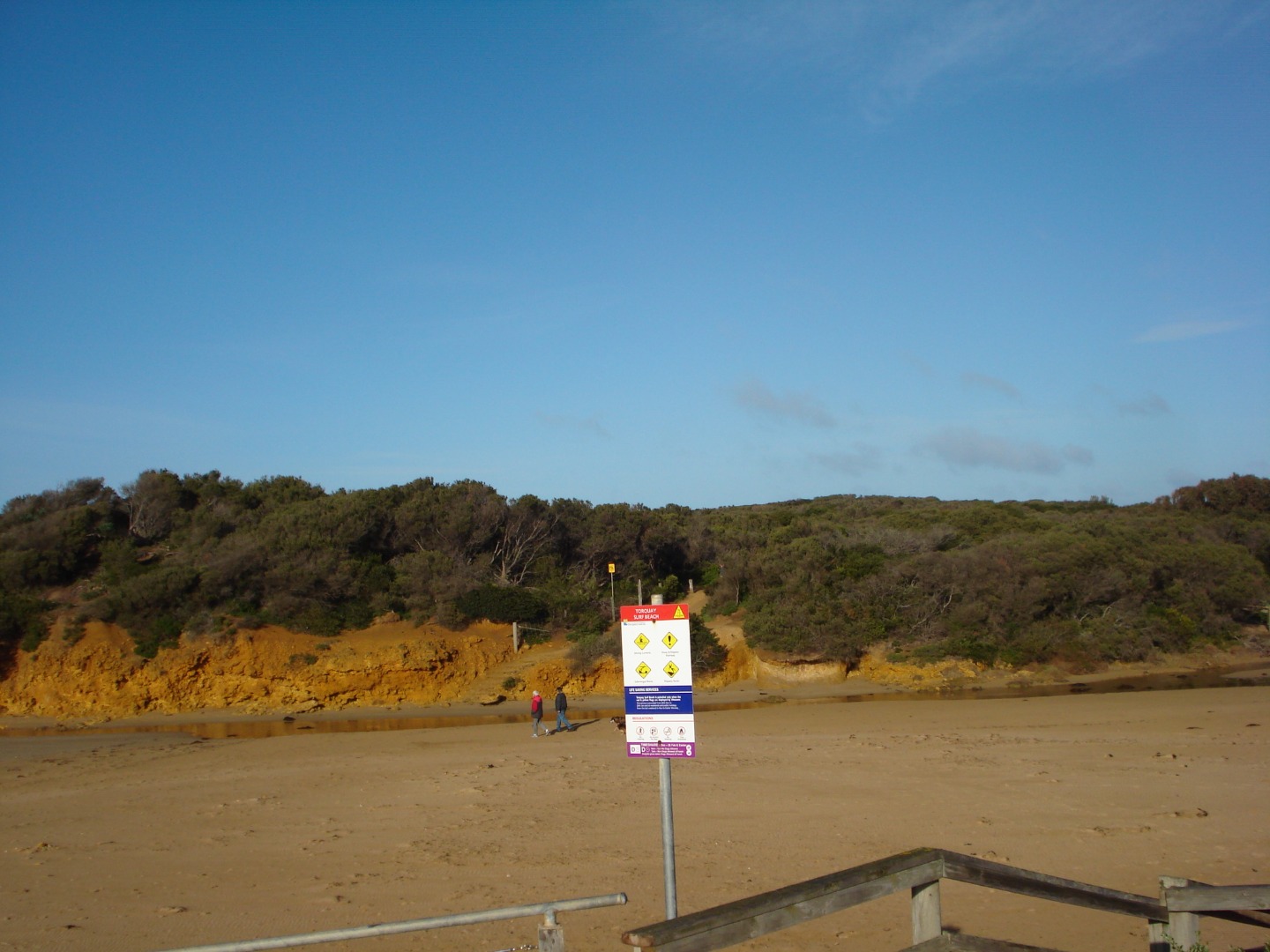
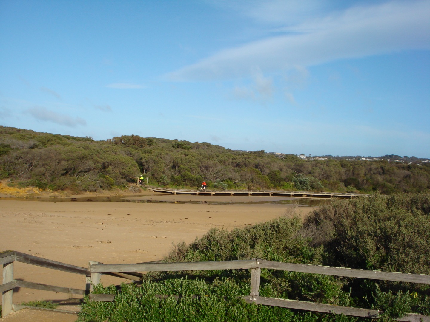
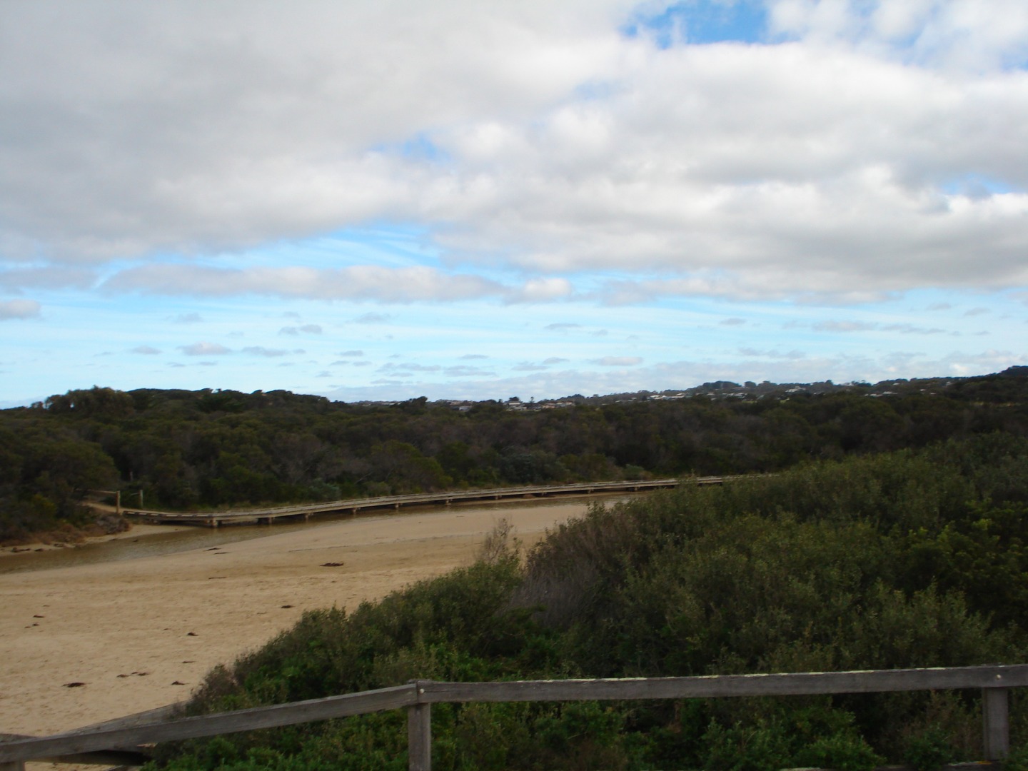
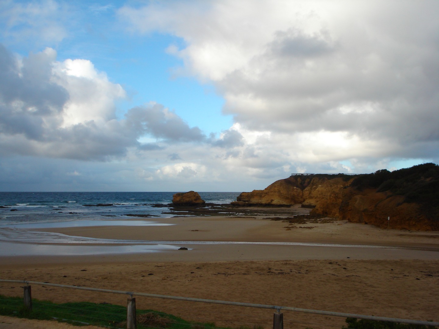
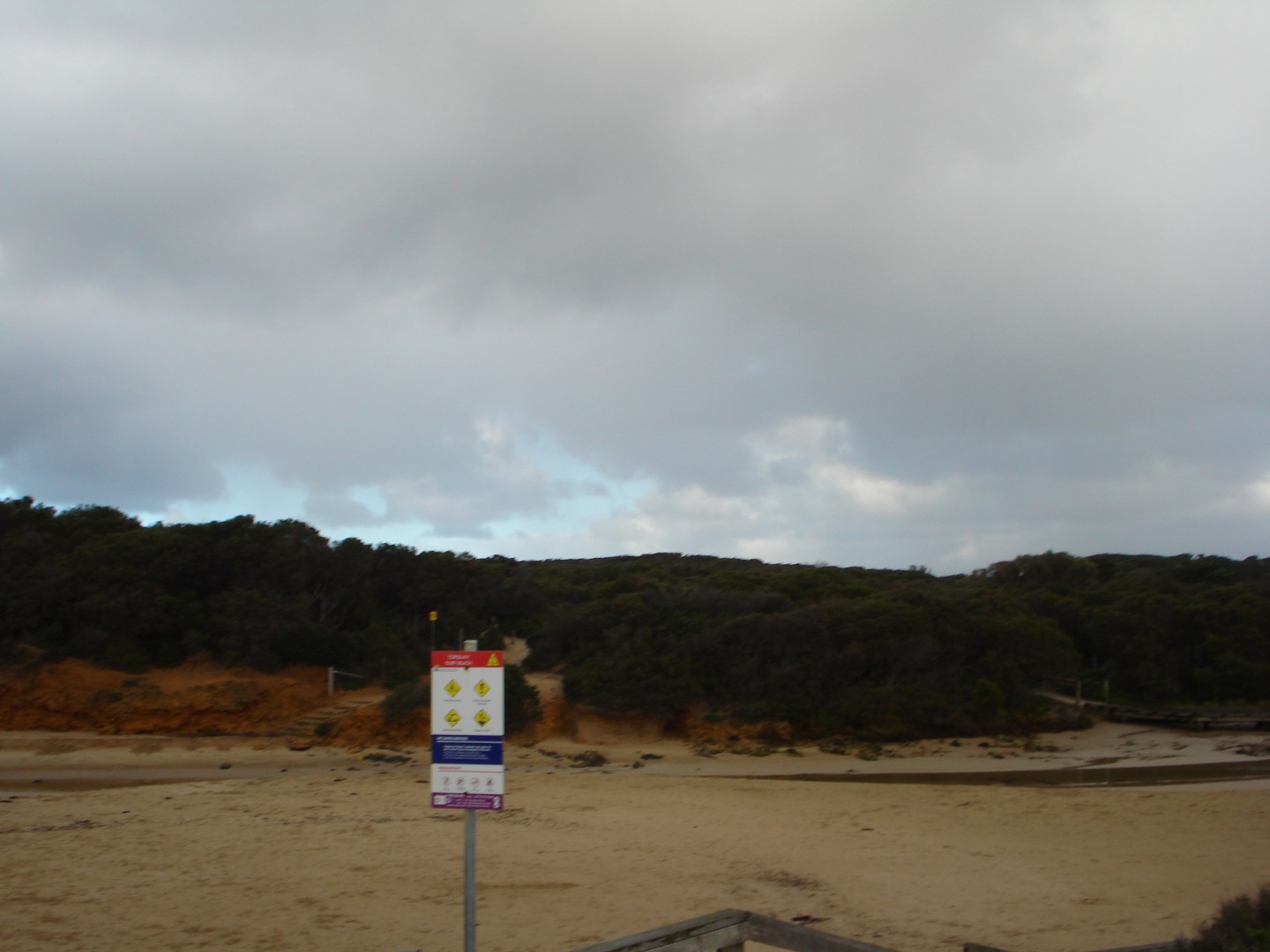
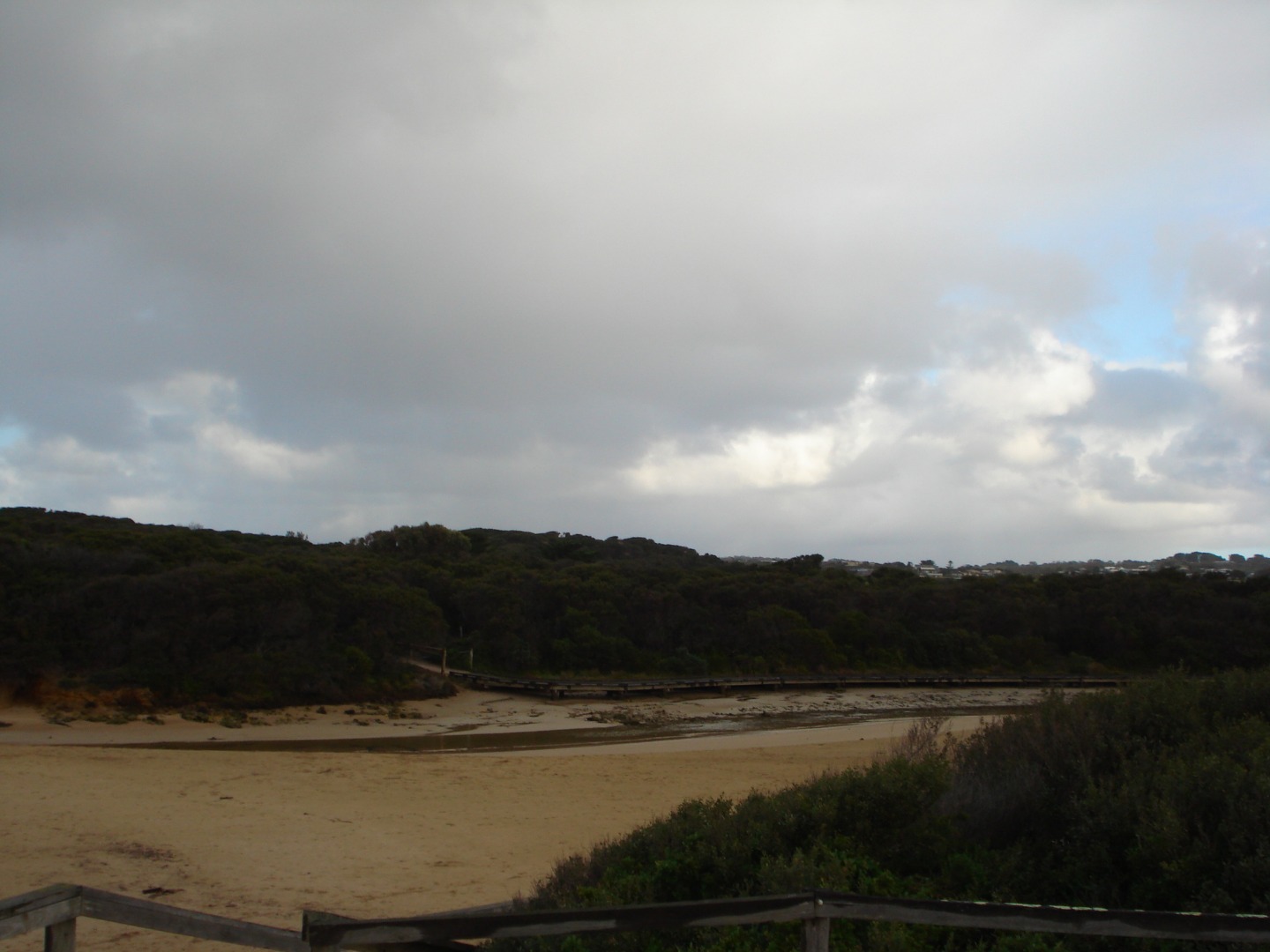
Active Mouth Condition 24-06-2007 - 02-10-2023Spring Creek Estuary
| ID | Date | Status | Details | |
|---|---|---|---|---|
| #11564 | 28 Oct 2017 | Approved | ||
| #11467 | 23 Sep 2017 | Approved |
Notes:
The height gauge closest to the bank was high and dry out of the water. The other gauge in the water, was too muddy to read. |
|
| #11424 | 27 Aug 2017 | Approved |
Notes:
Unfortunately photo's were accidently deleted |
|
| #11378 | 29 Jul 2017 | Approved | ||
| #11314 | 1 Jul 2017 | Approved | ||
| #11309 | 26 Jun 2017 | Approved |
Notes:
|
|
| #11238 | 27 May 2017 | Approved | ||
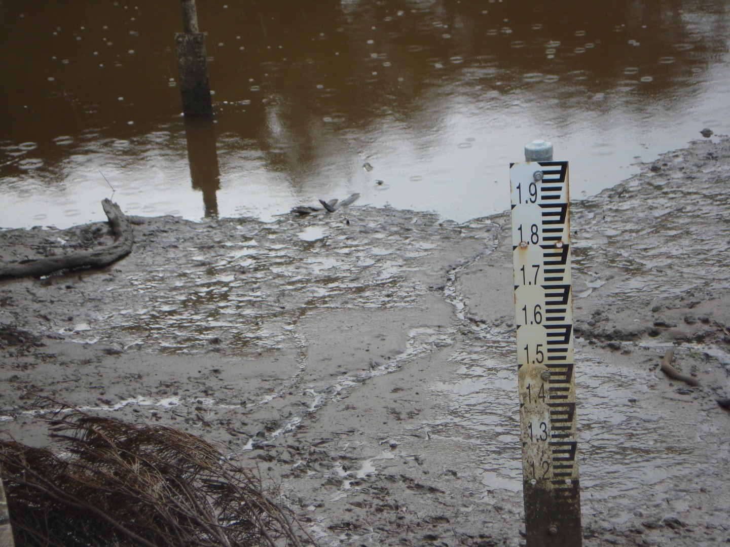
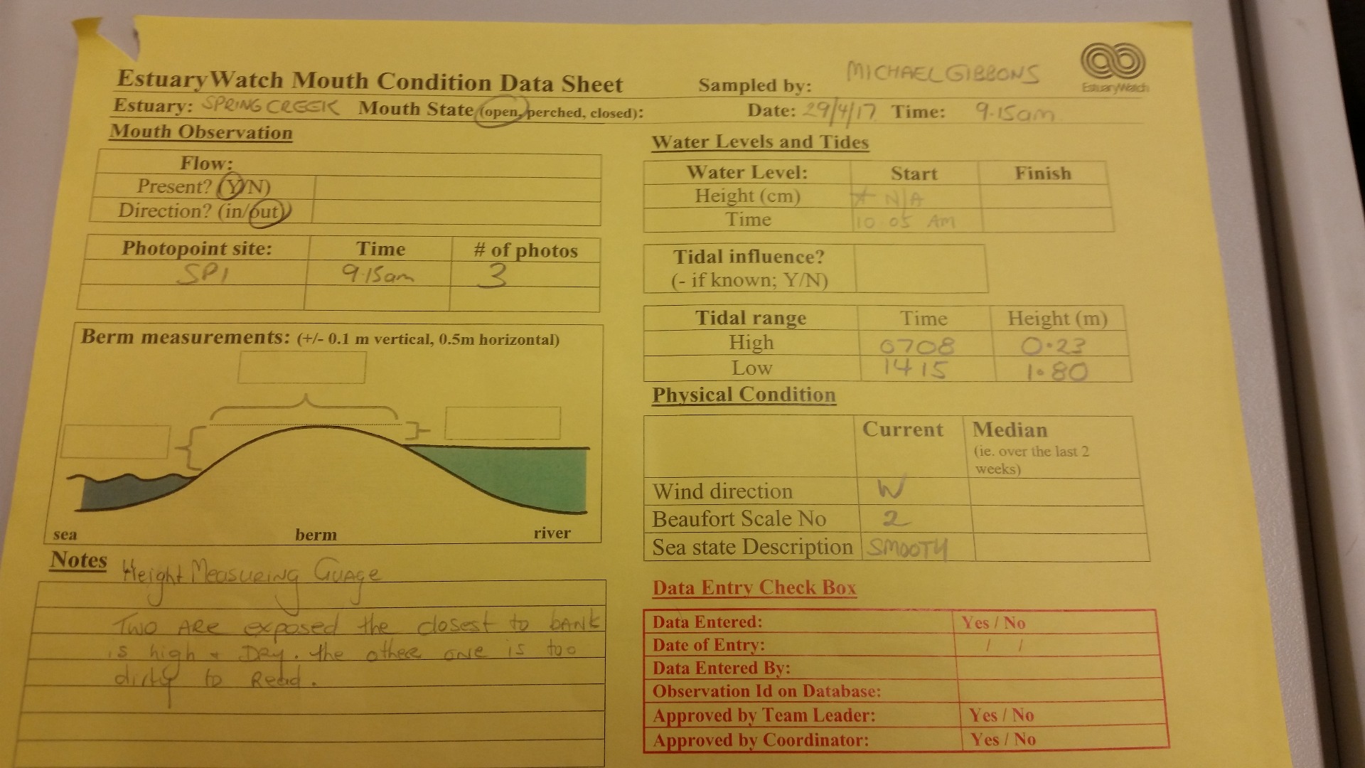
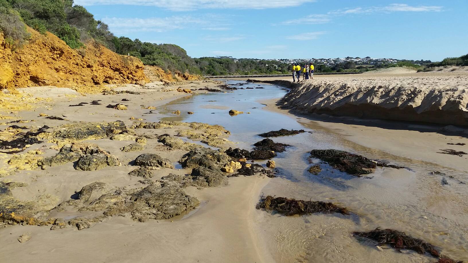
| #11139 | 29 Apr 2017 | Approved |
Notes:
Height/Depth Measuring gauge- Now two gauges exposed. One closest to bank is high and dry. The other one closer to middle of the creek is too muddy to read.
|
|
| #11168 | 24 Apr 2017 | Approved |
|
|
| #11015 | 27 Mar 2017 | Approved |
Notes:
|
|
| #11037 | 25 Mar 2017 | Approved |
Notes:
Mouth opened sometime during the week. Lots of rain early week. |
|
| #10982 | 22 Mar 2017 | Approved |
Notes:
Over last 24hours 30 a 40mms of rain and has been small wash outs and damage along the coast. Aireys Inlet got 100mm of rain last night. and ran into John from gorcc |
|
| #11012 | 20 Feb 2017 | Approved |
Notes:
Evidence of the tide affecting the berm, and maybe entering the estuary. Monitoring conducted by Conservation and Land Management students at The Gordon. |
|
| #10841 | 18 Feb 2017 | Approved | ||
| #10760 | 21 Jan 2017 | Approved | ||
| #10696 | 30 Dec 2016 | Approved | ||
| #11510 | 13 Dec 2016 | Approved |
|
|
| #10563 | 19 Nov 2016 | Approved | ||
| #10953 | 8 Oct 2016 | Approved |
Notes:
Water level is an estimate due to mud on gauge board |
|
| #10954 | 10 Sep 2016 | Approved |
Notes:
Mouth looks like only recently opened |
|
| #10955 | 13 Aug 2016 | Approved | ||
| #10961 | 2 Aug 2016 | Approved | ||
| #10537 | 17 Jul 2016 | Approved |
Notes:
gauge board needs cleaning |
|
| #10956 | 26 Jun 2016 | Approved |
Notes:
Water level estimate only due to mud on gauge board
|
|
| #10957 | 28 May 2016 | Approved |
Notes:
Mouth opened sometime between evening of the 26/05/2016 and morning of 27/05/2016 Water level estimate only due to mud on gauge board
|
|


All content, files, data and images provided by the EstuaryWatch Data Portal and Gallery are subject to a Creative Commons Attribution License
Content is made available to be used in any way, and should always attribute EstuaryWatch and www.estuarywatch.org.au