EstuaryWatch Data Portal
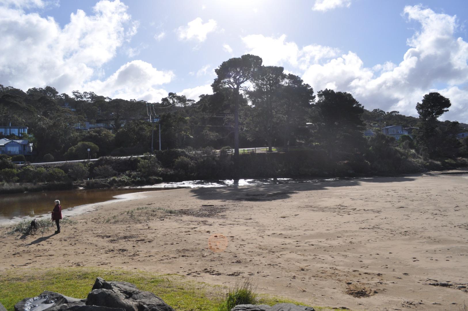
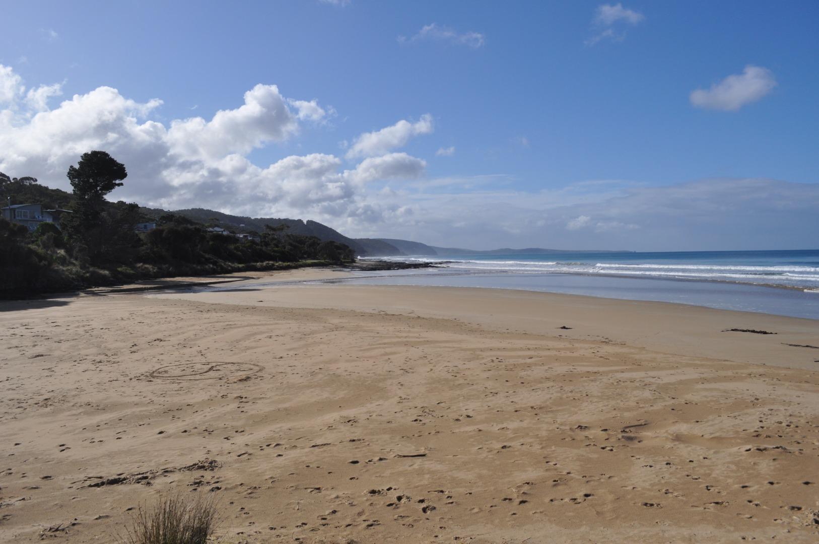
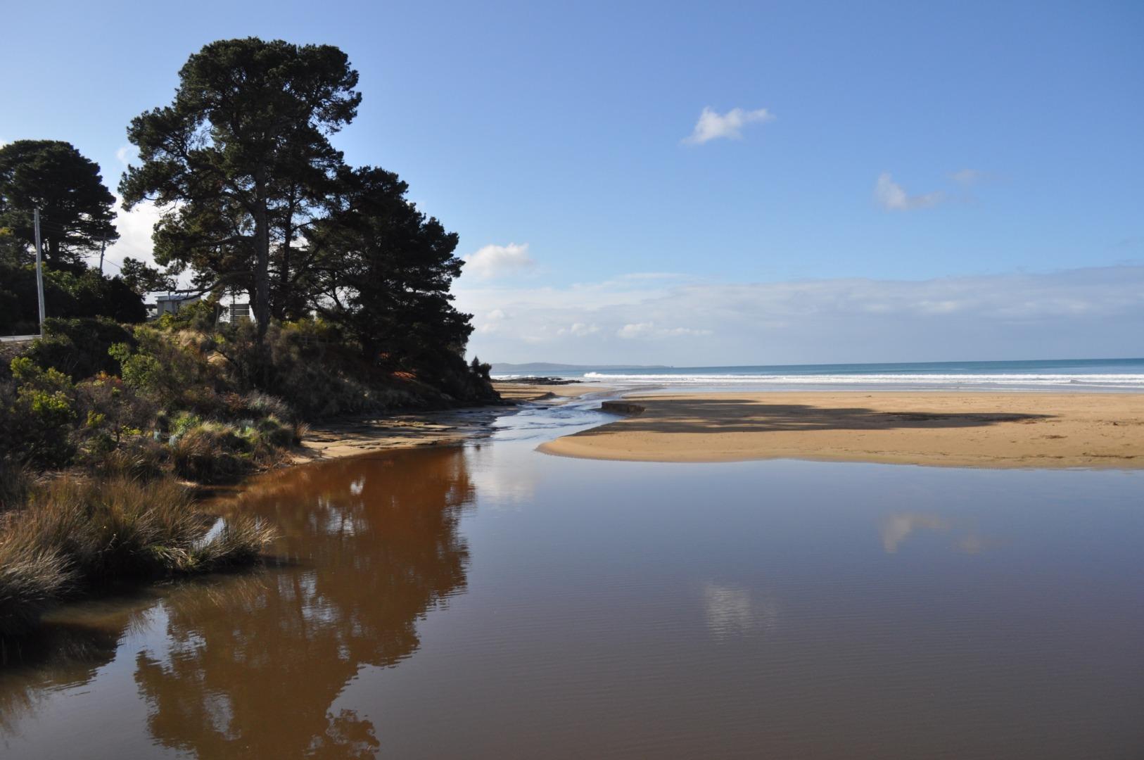
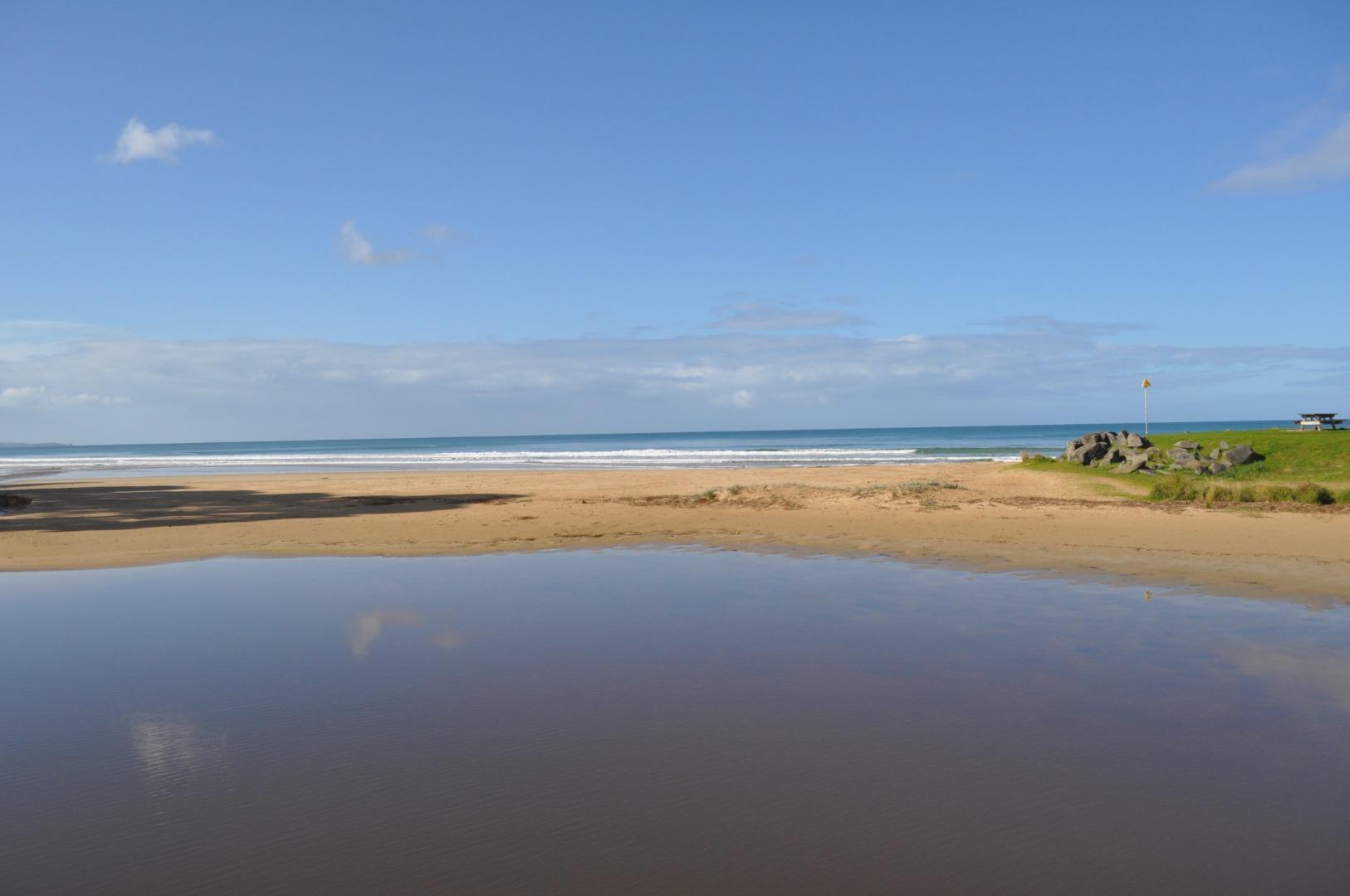
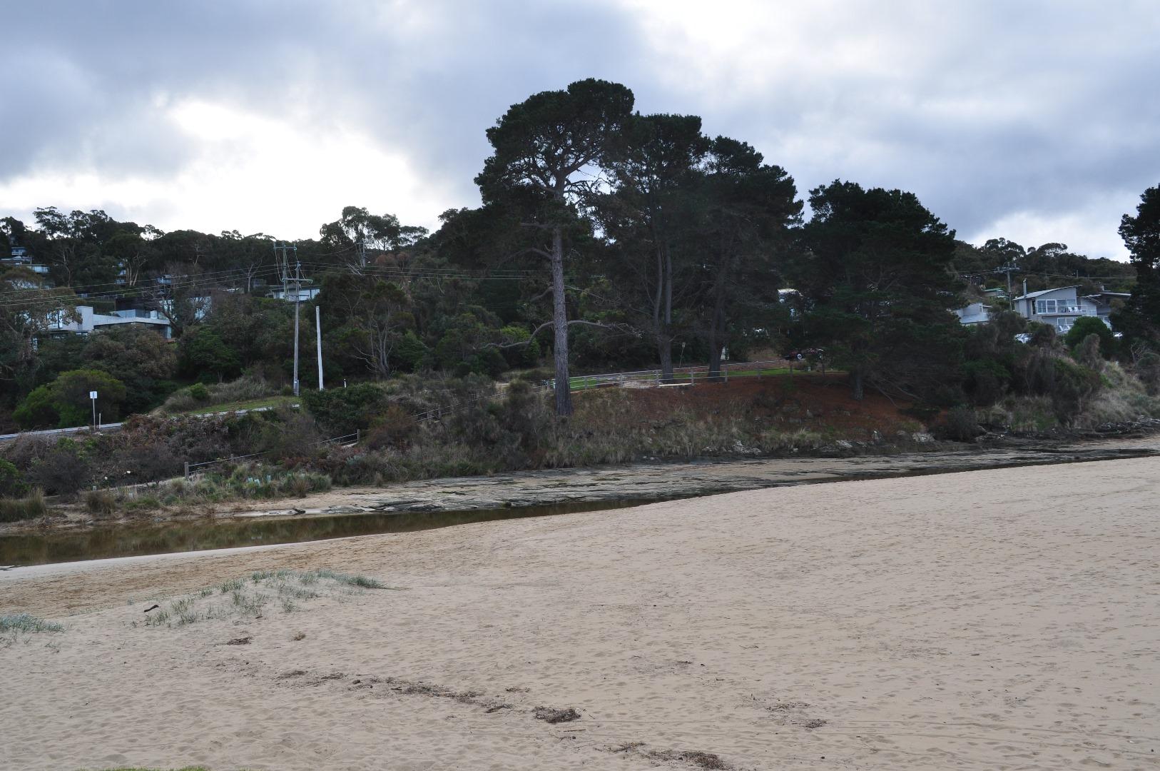
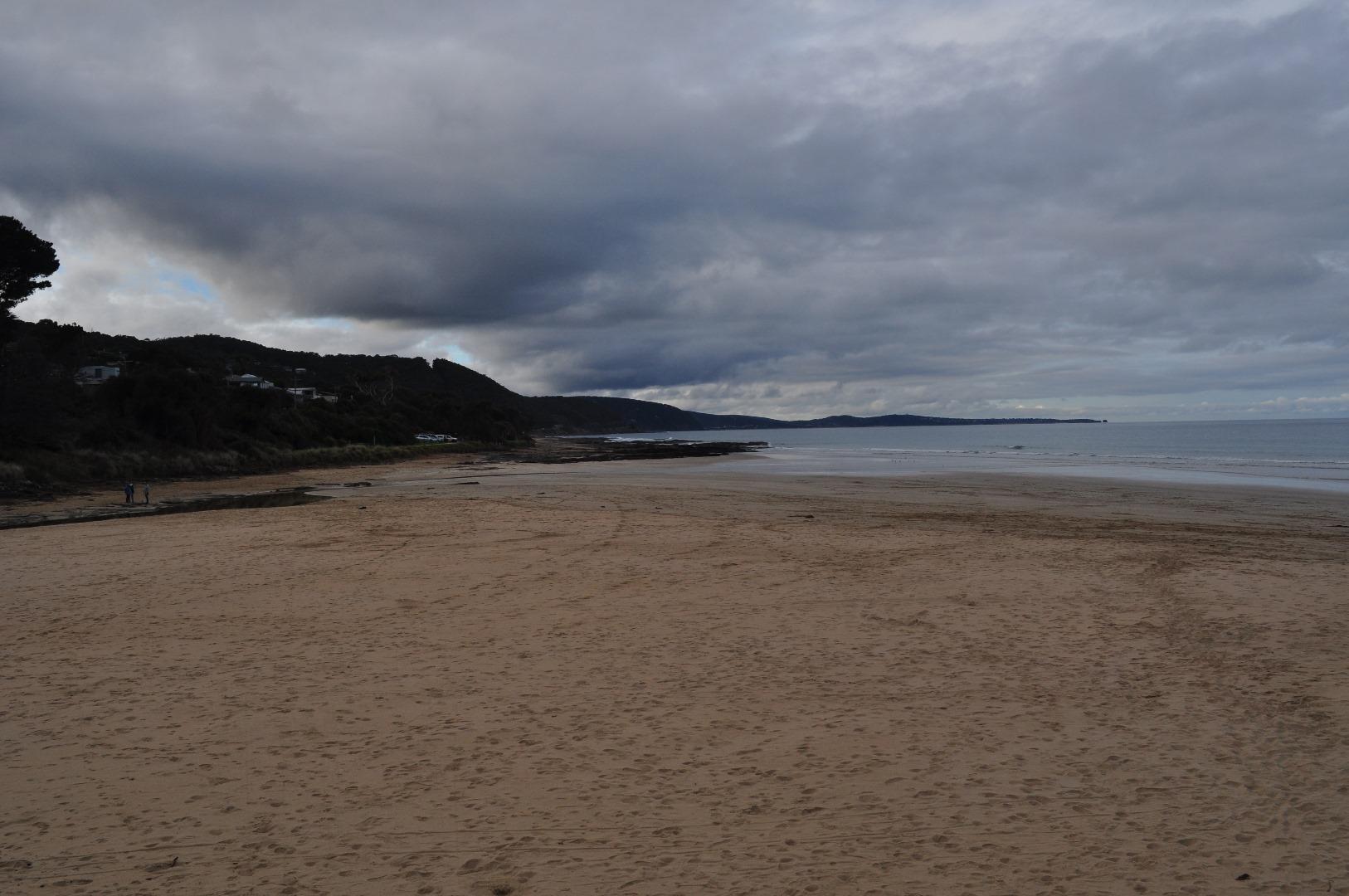
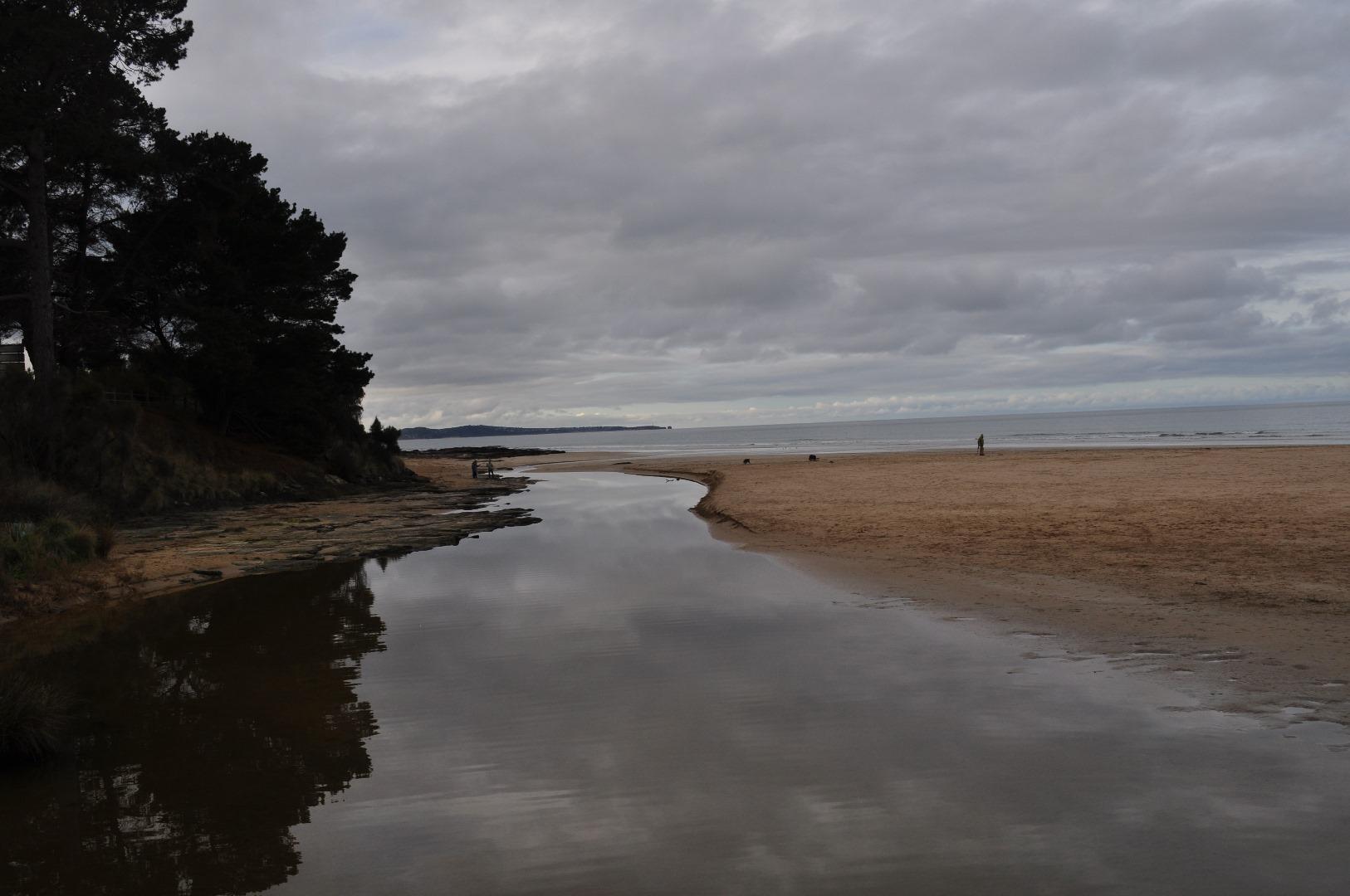
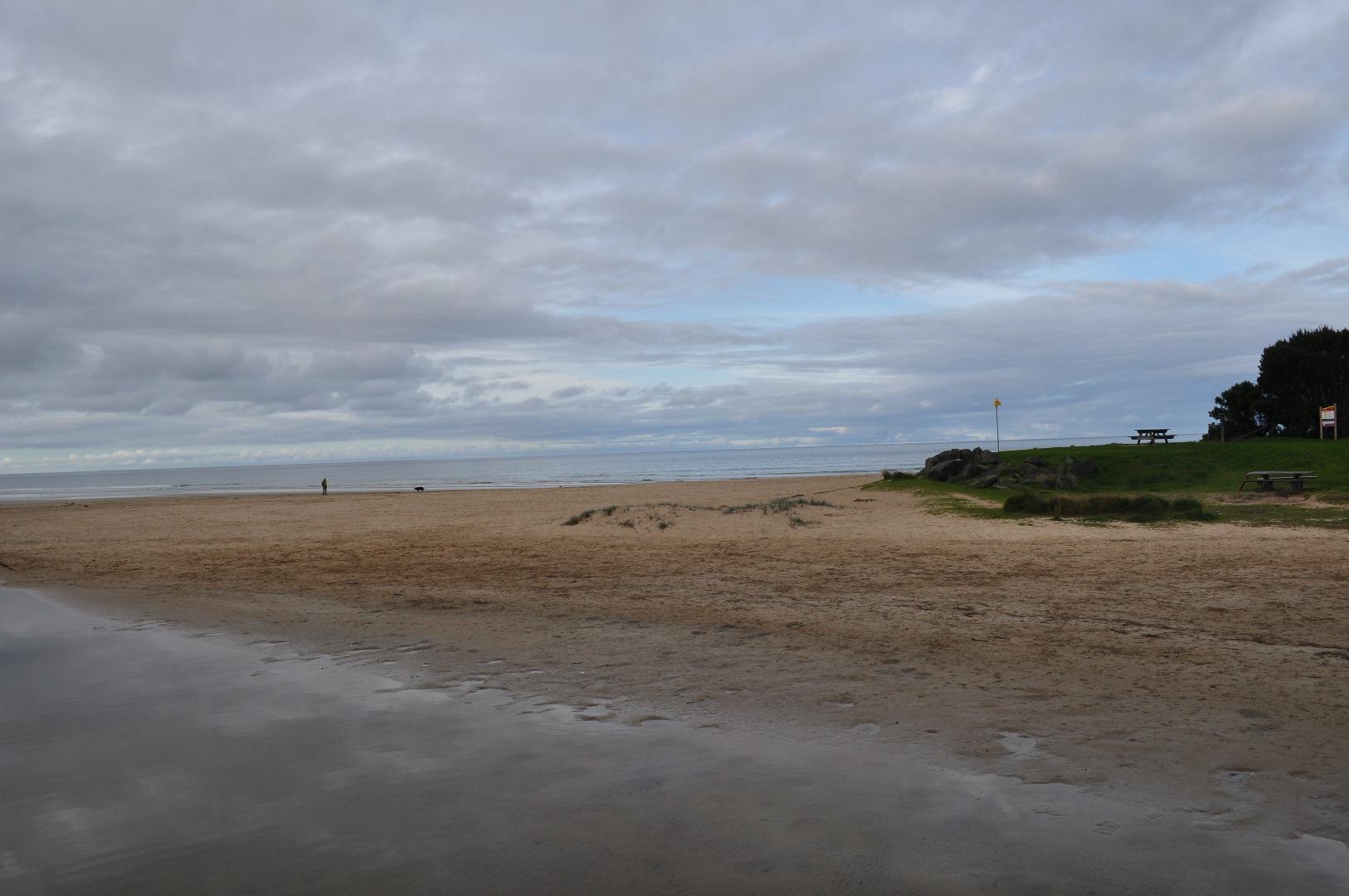
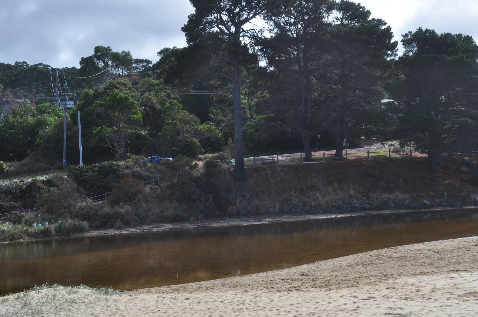
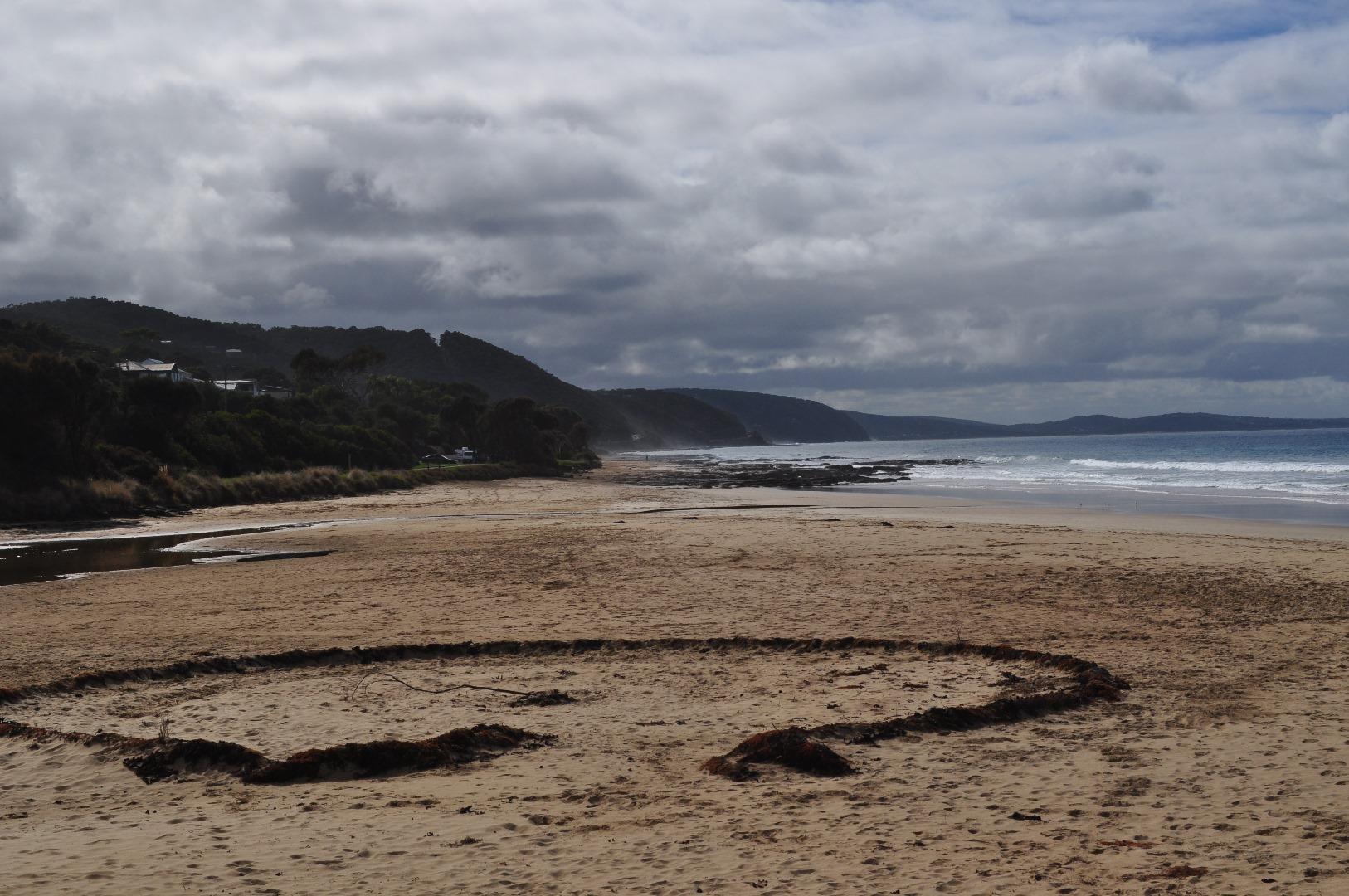
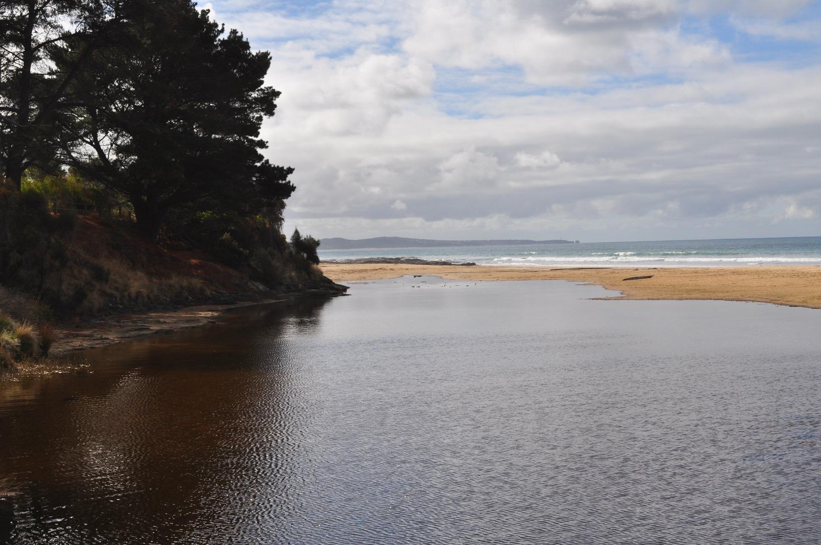
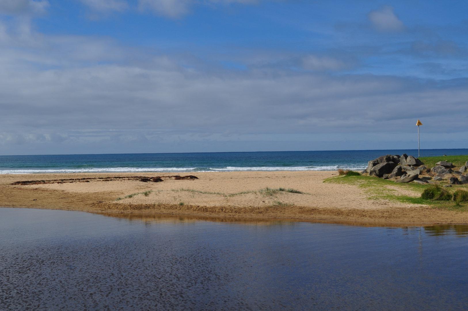
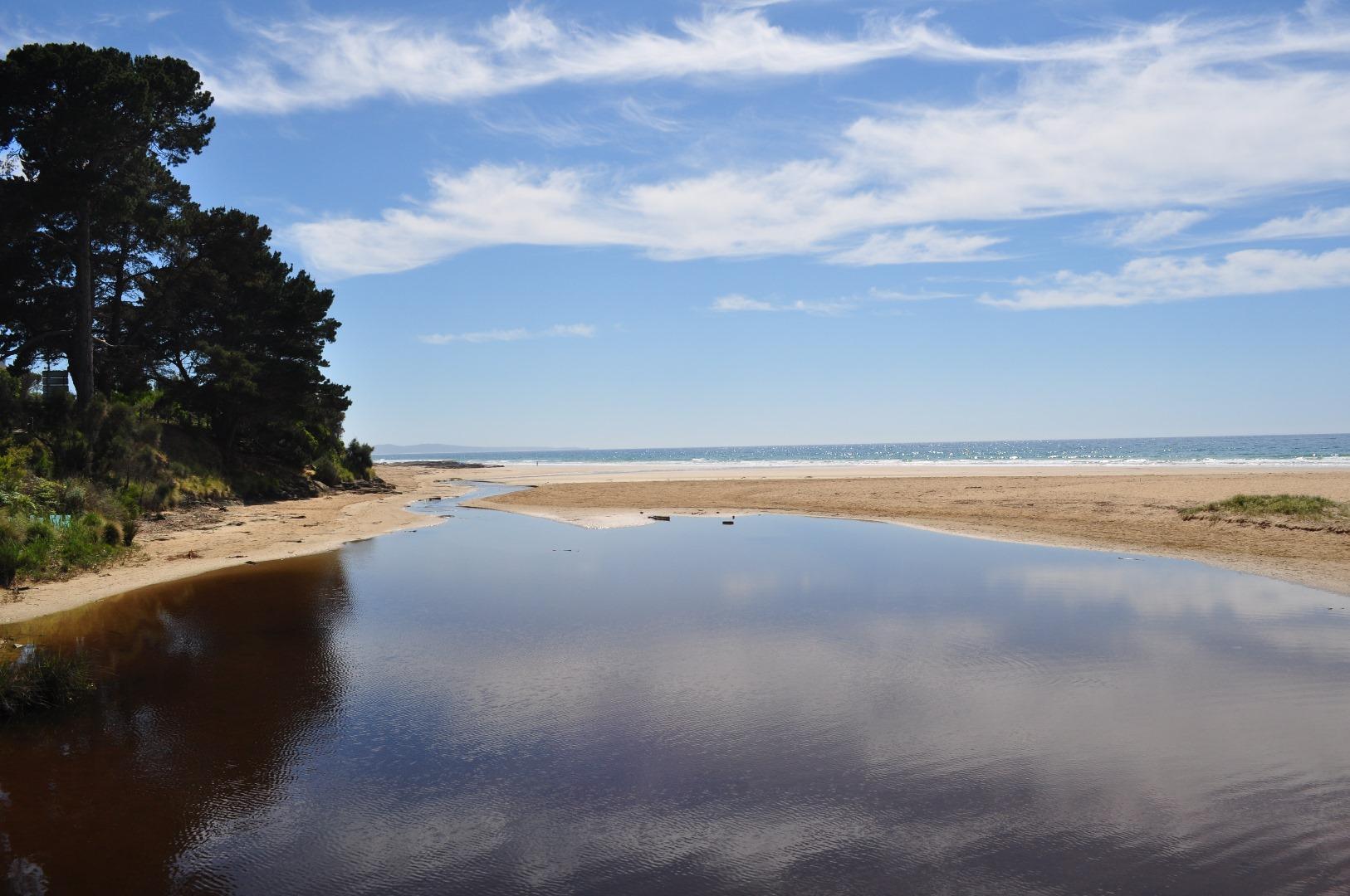
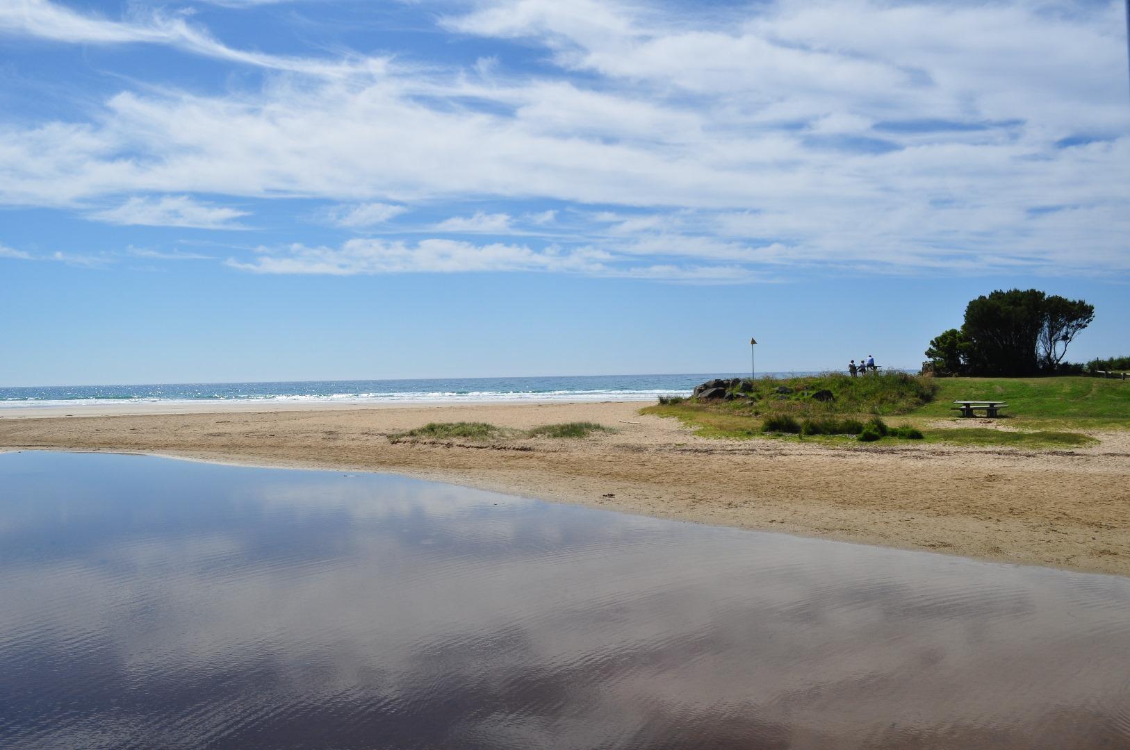
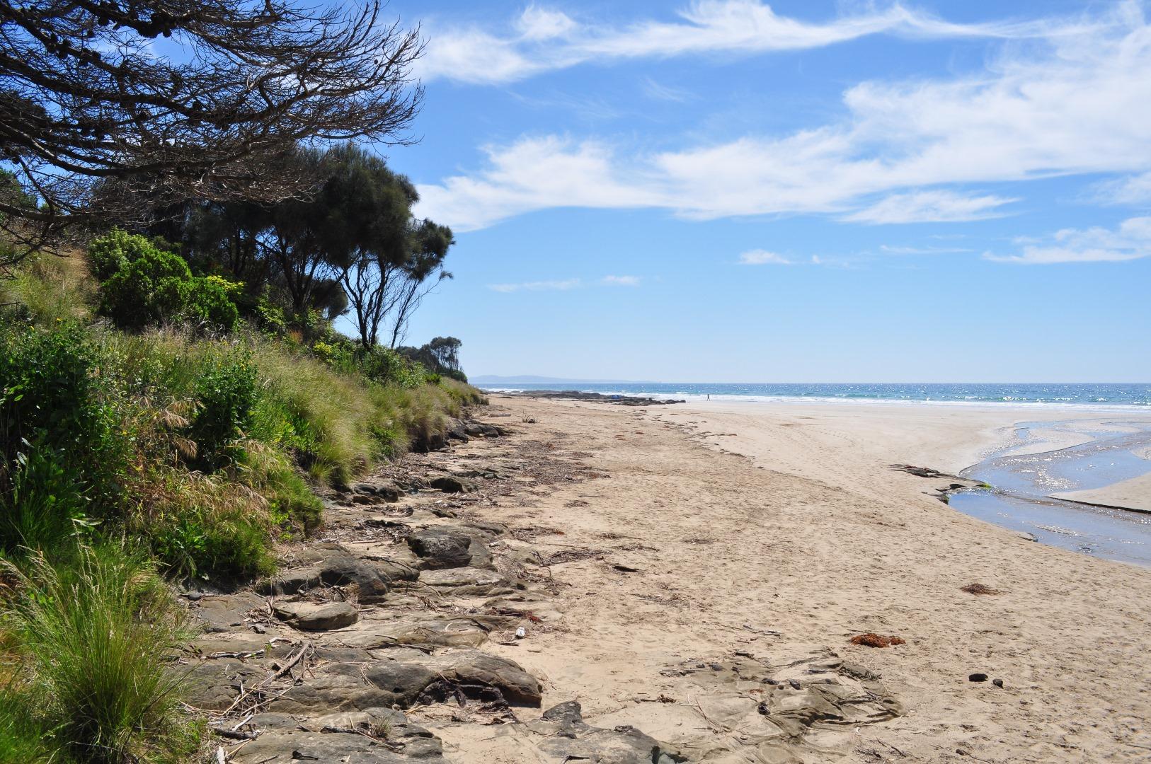
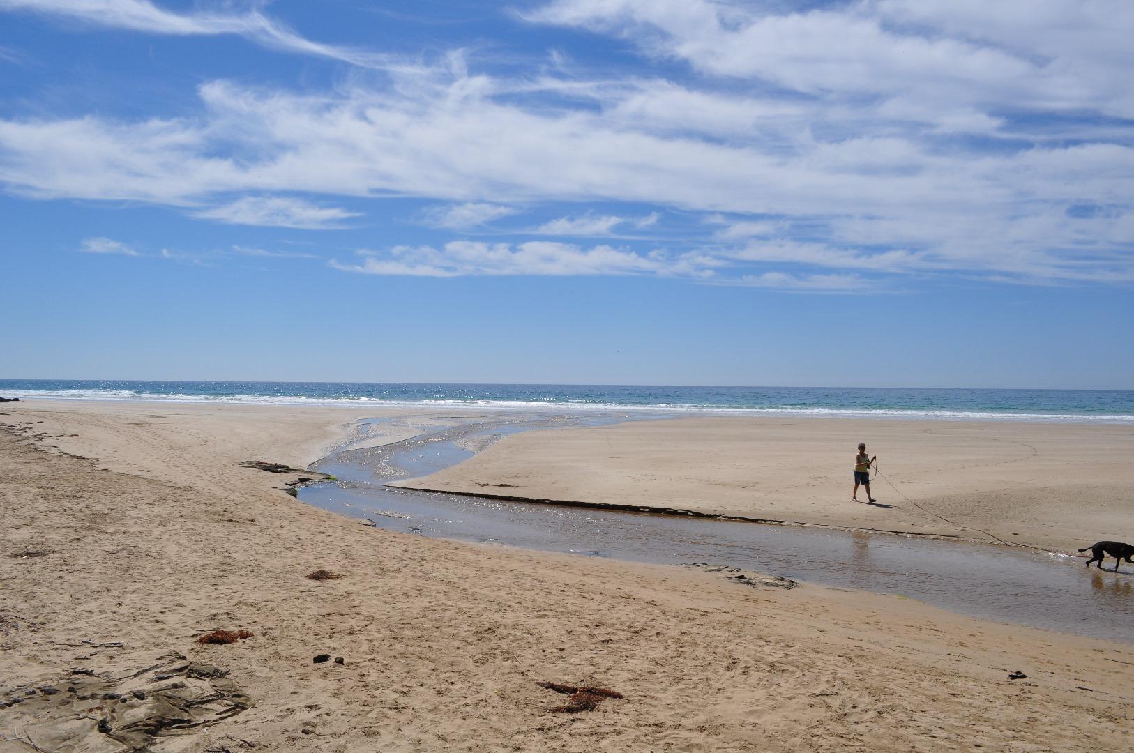
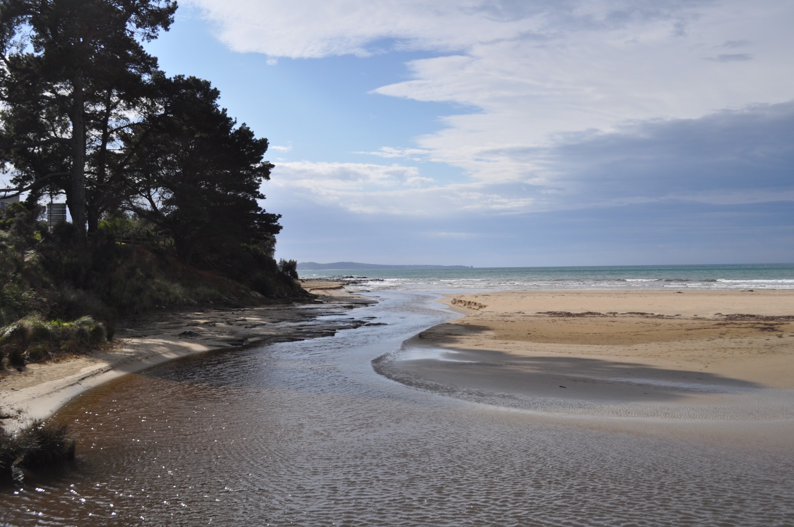
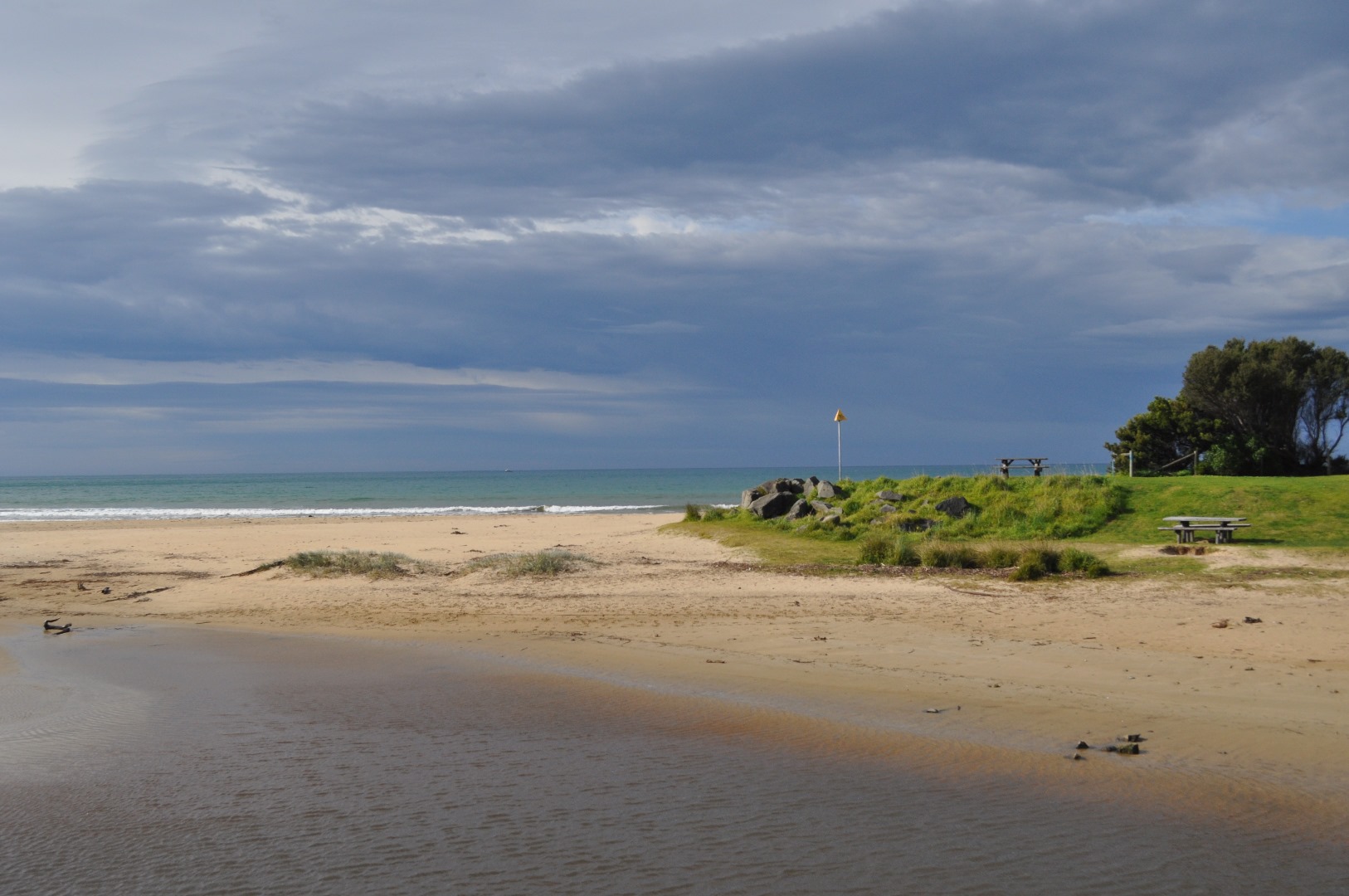
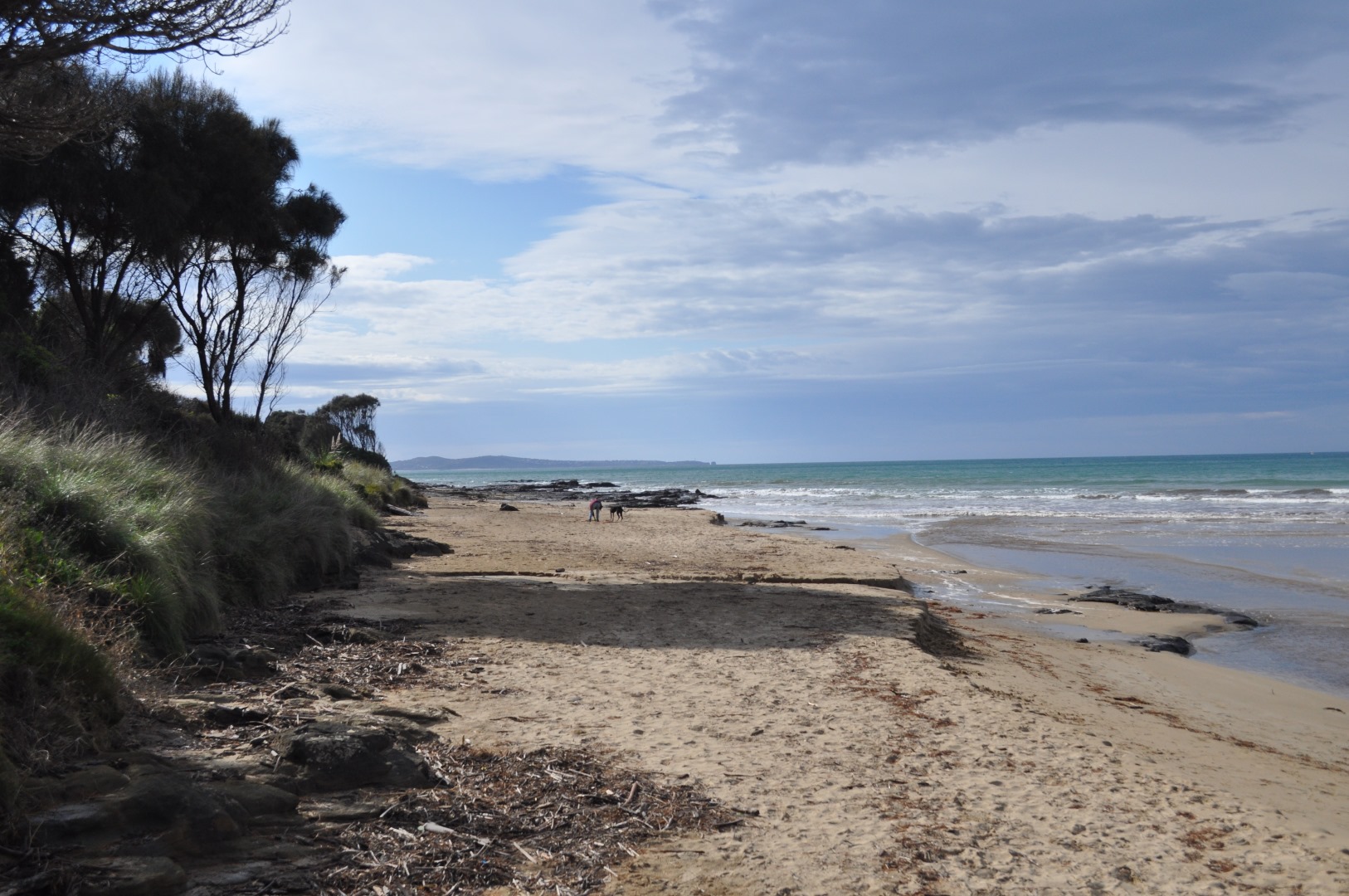
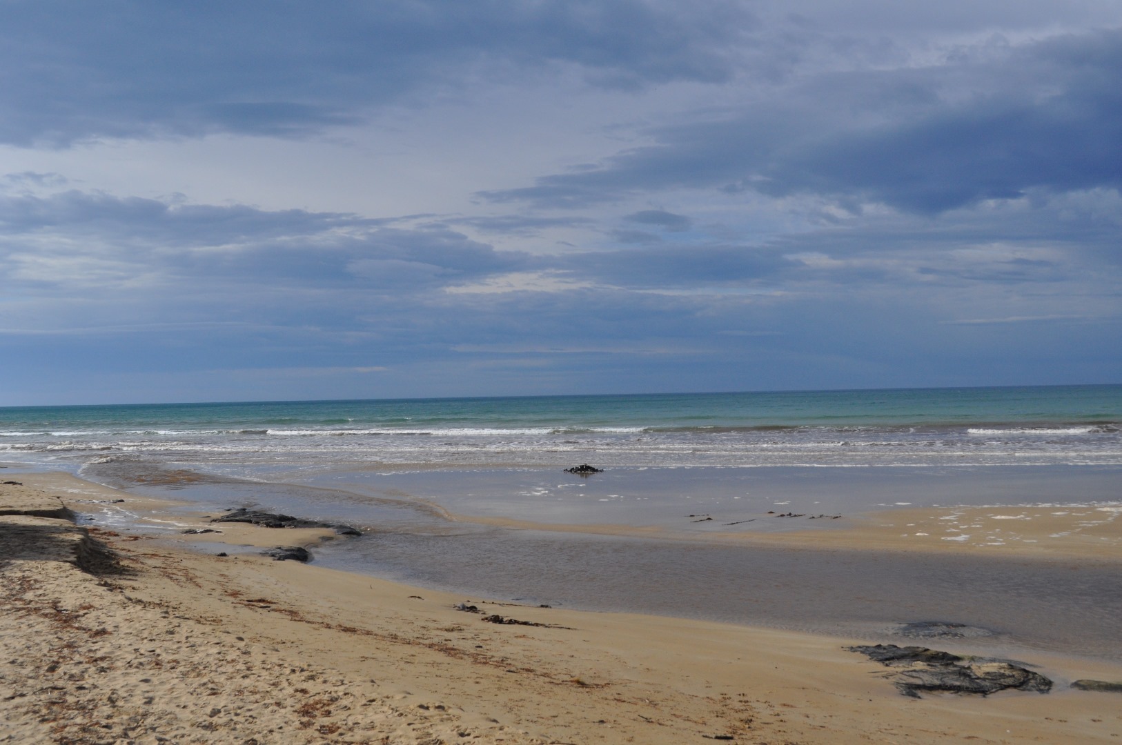
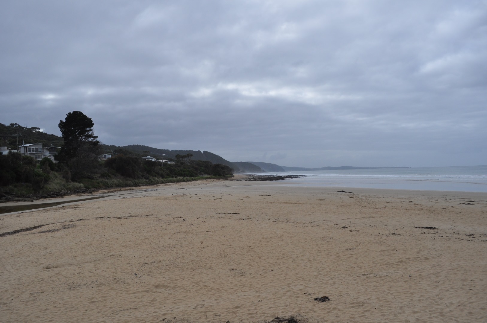
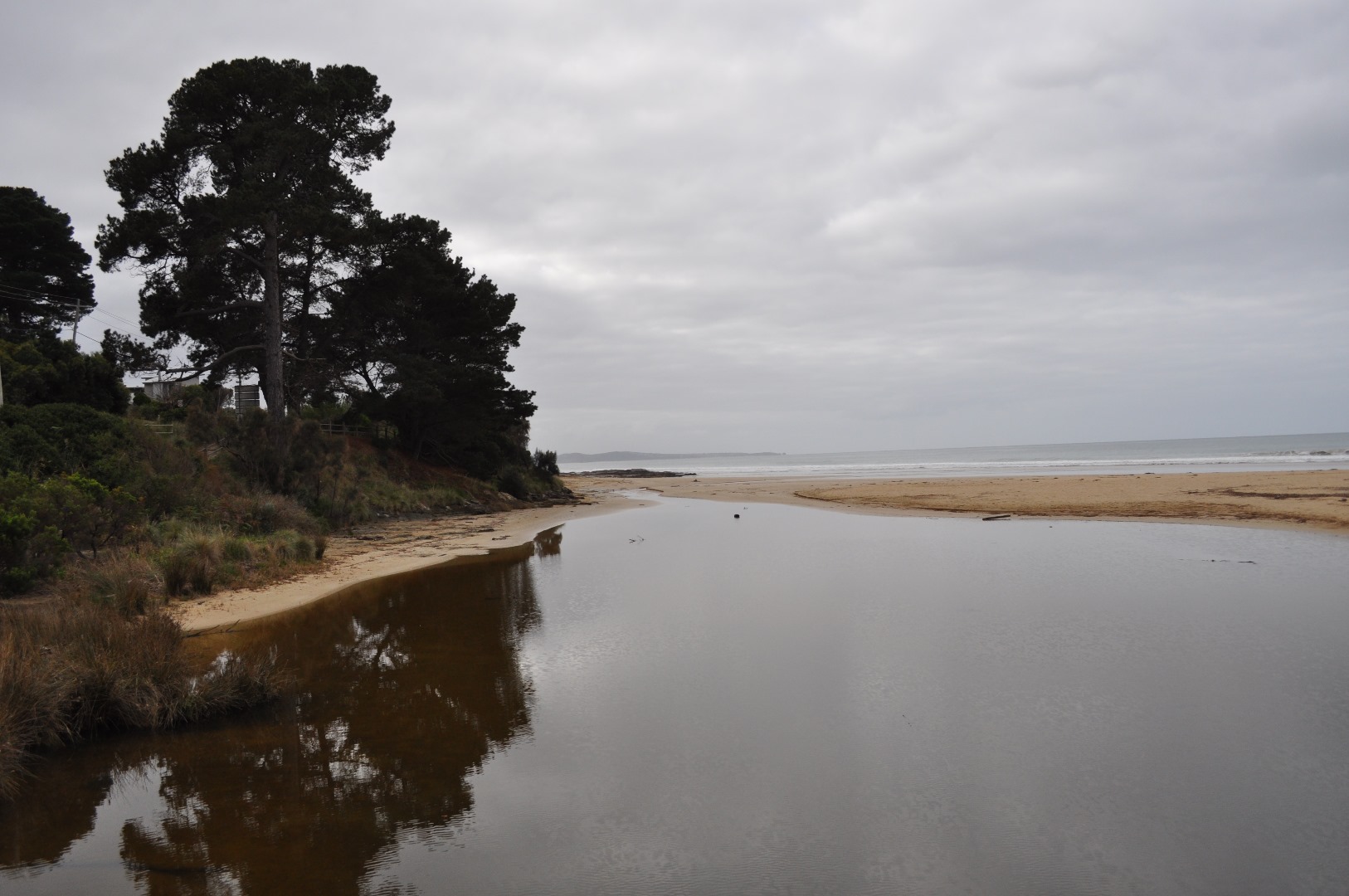
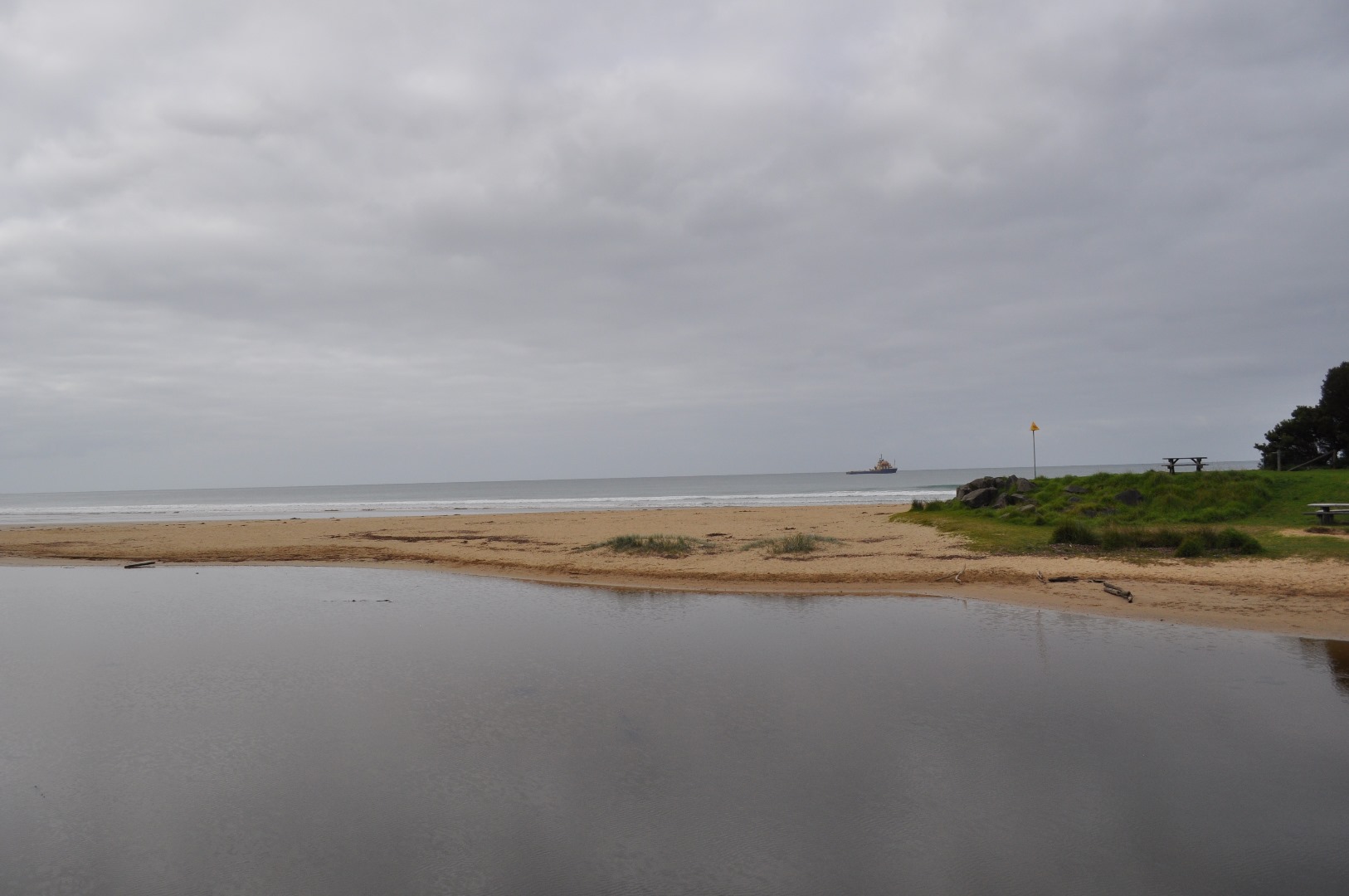
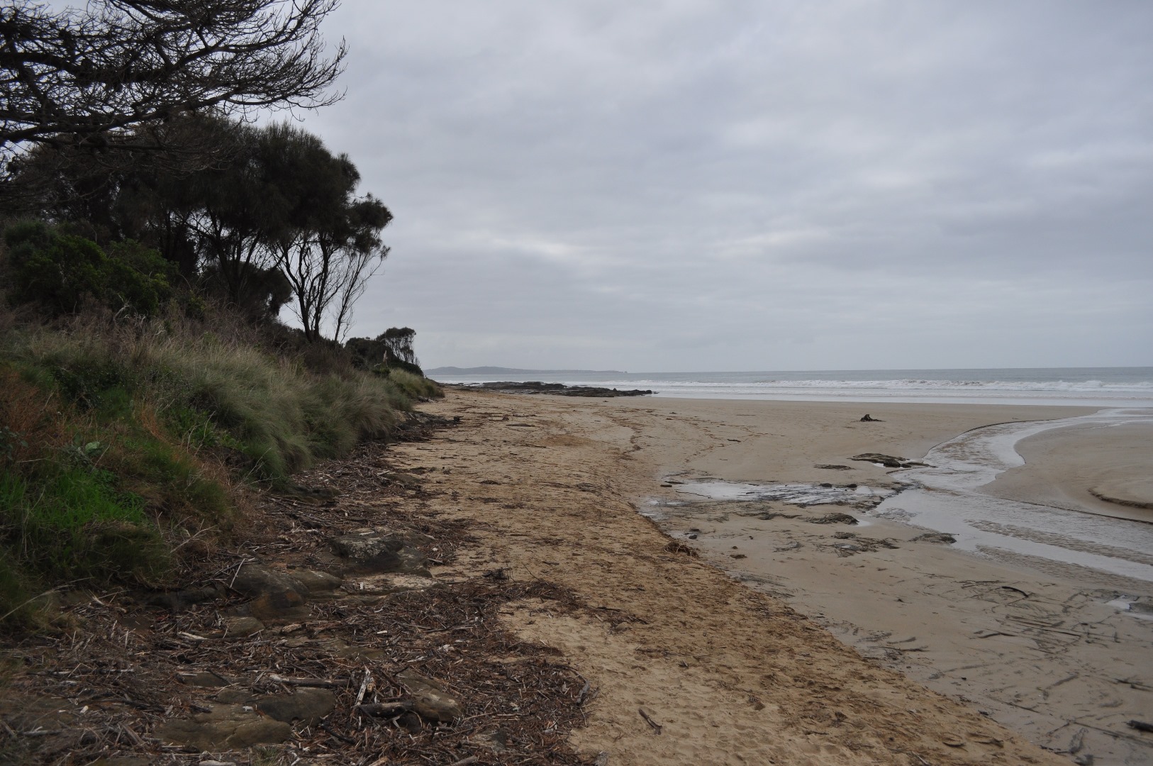
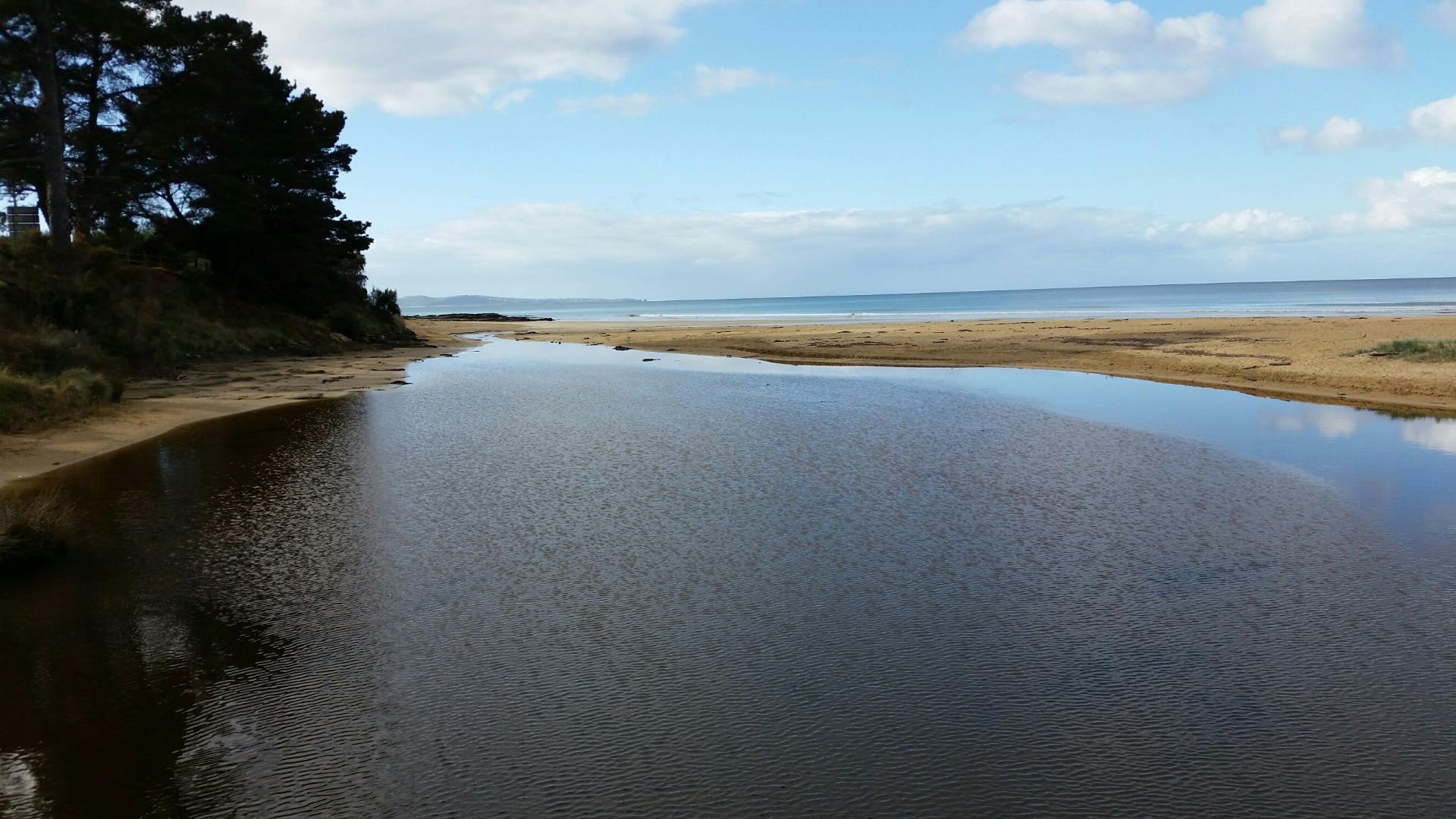
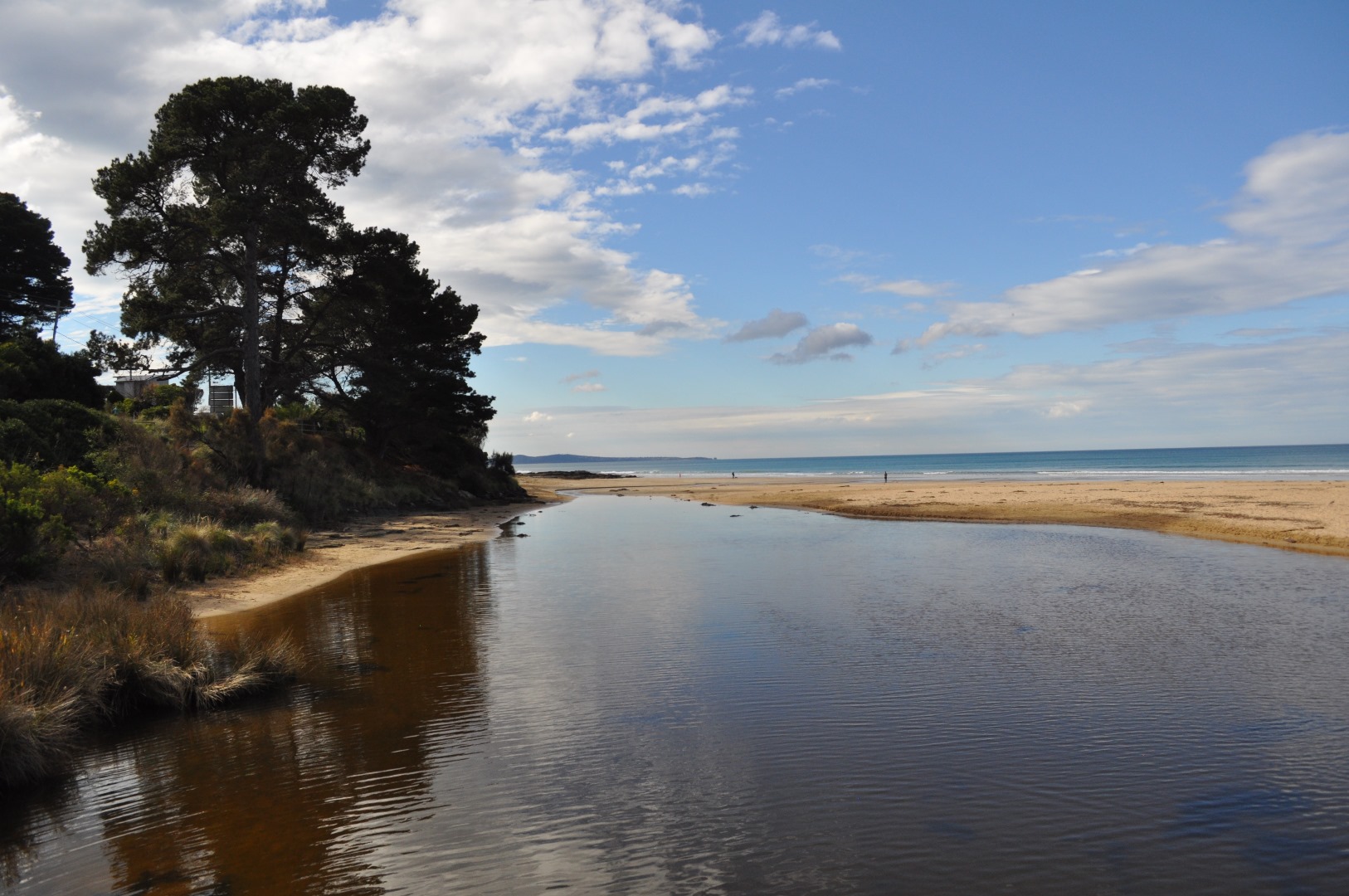
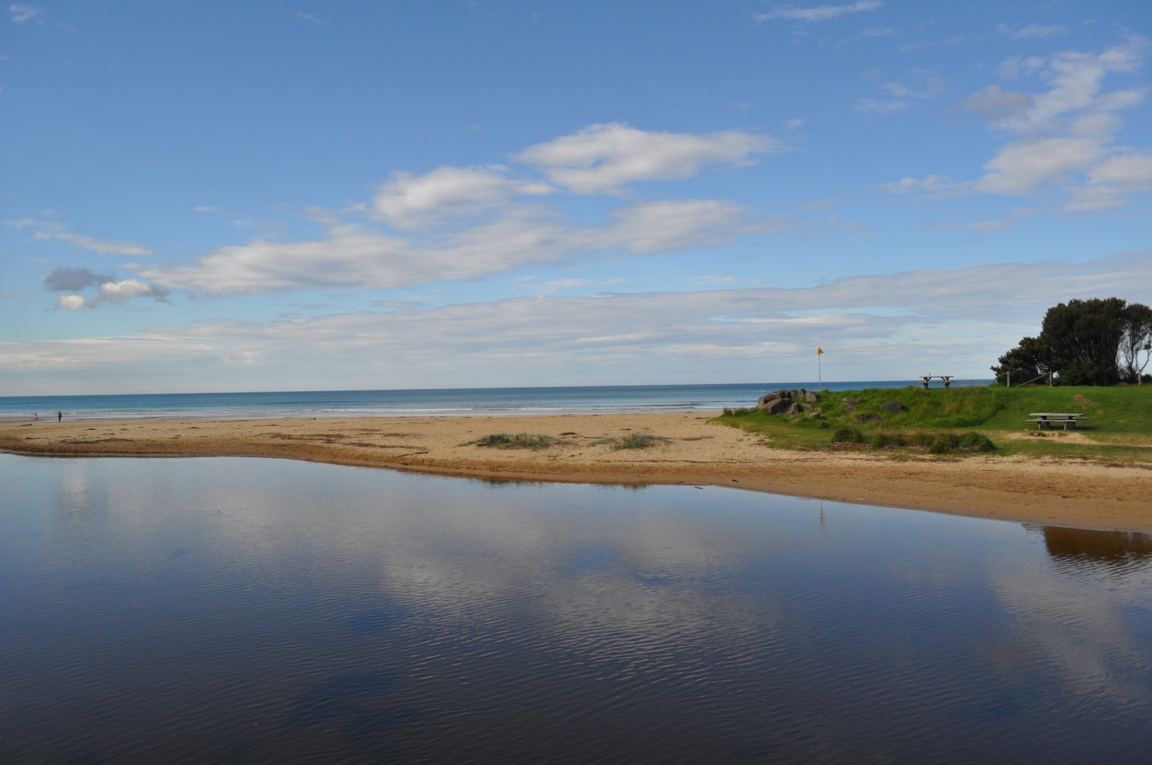
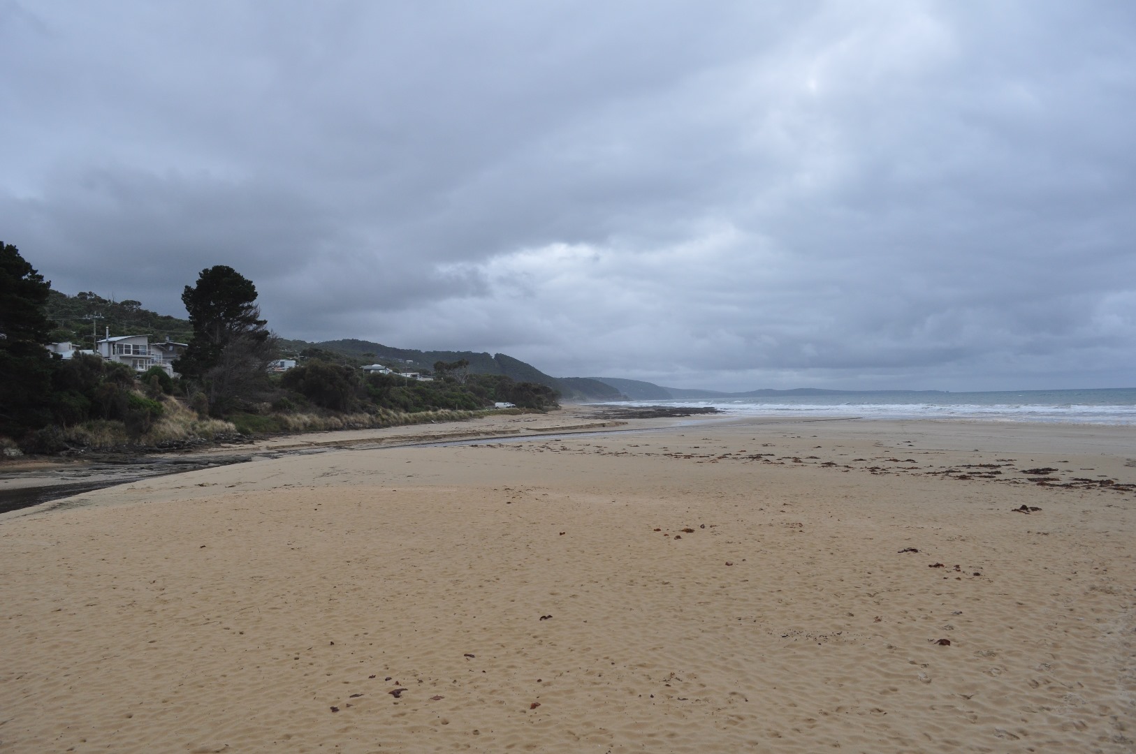
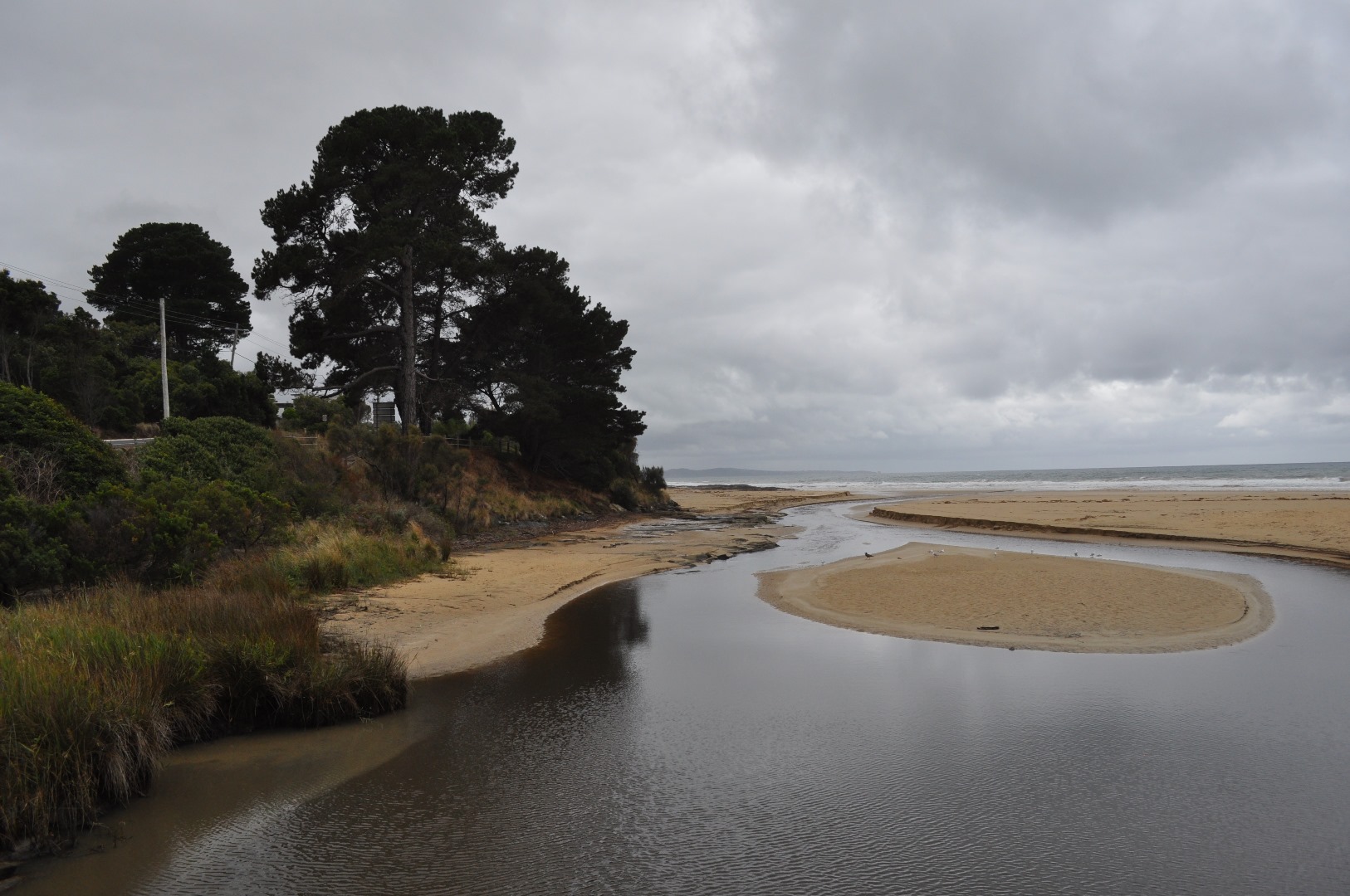
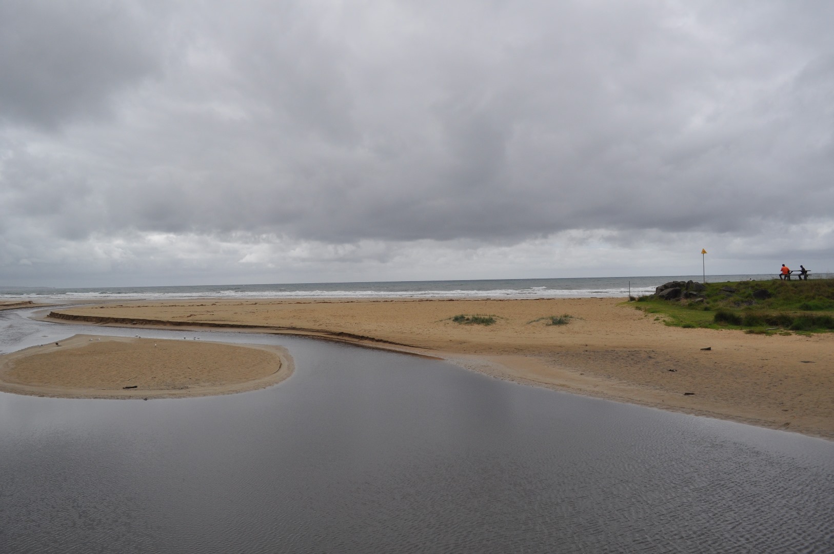
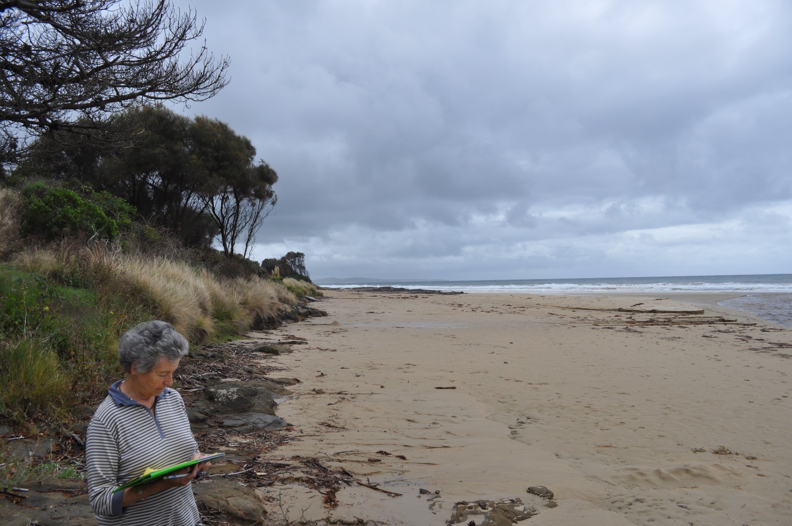
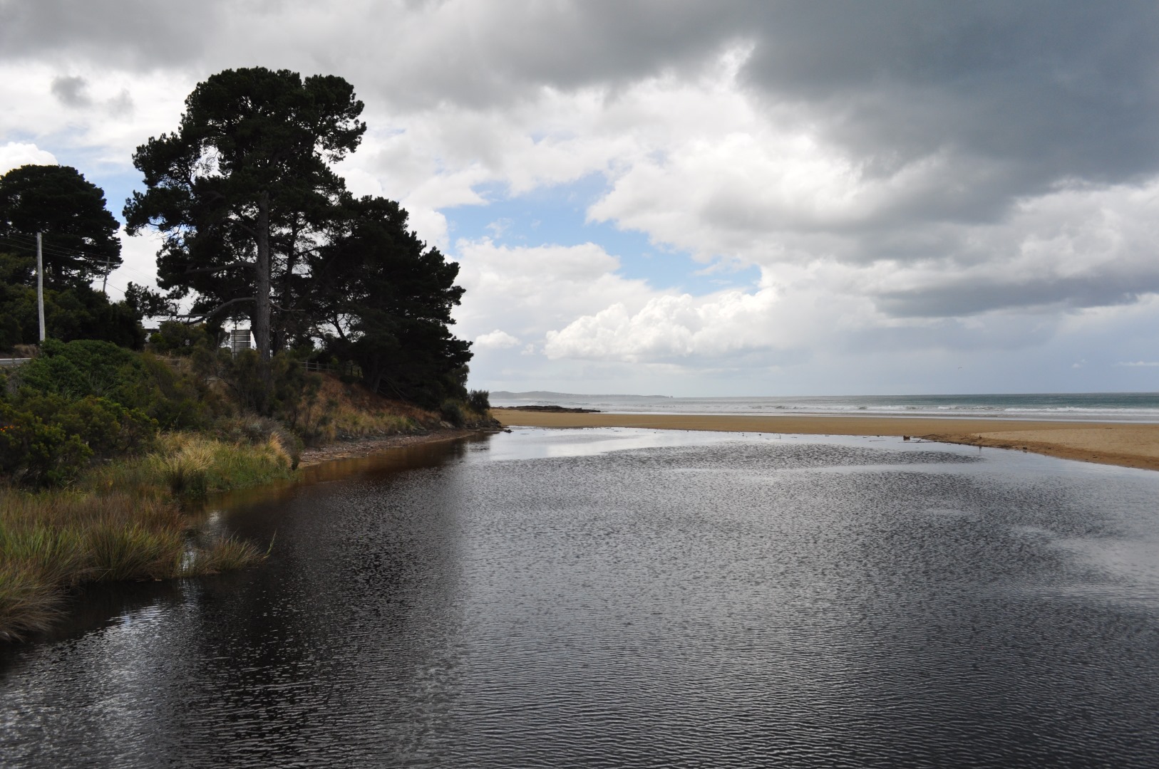
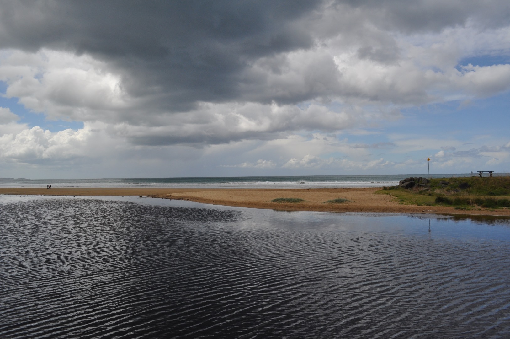
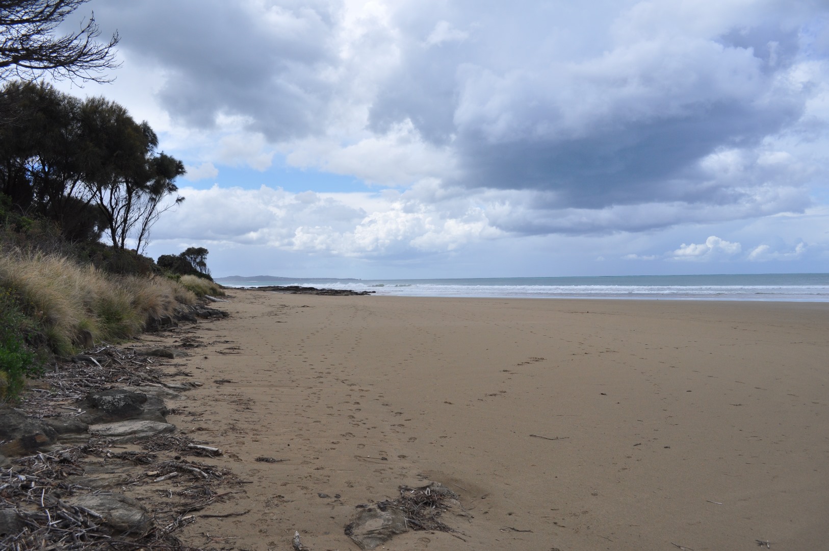
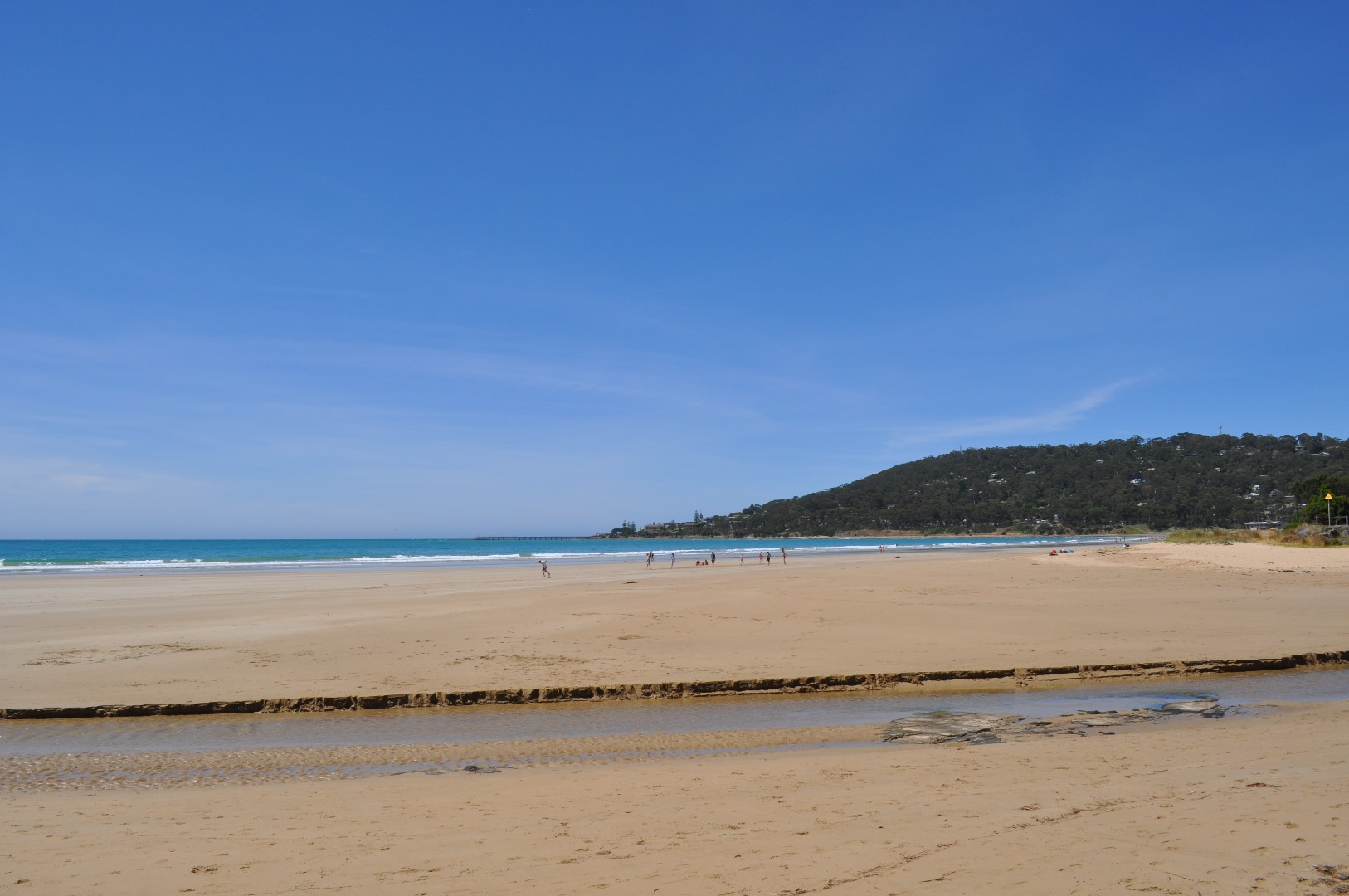
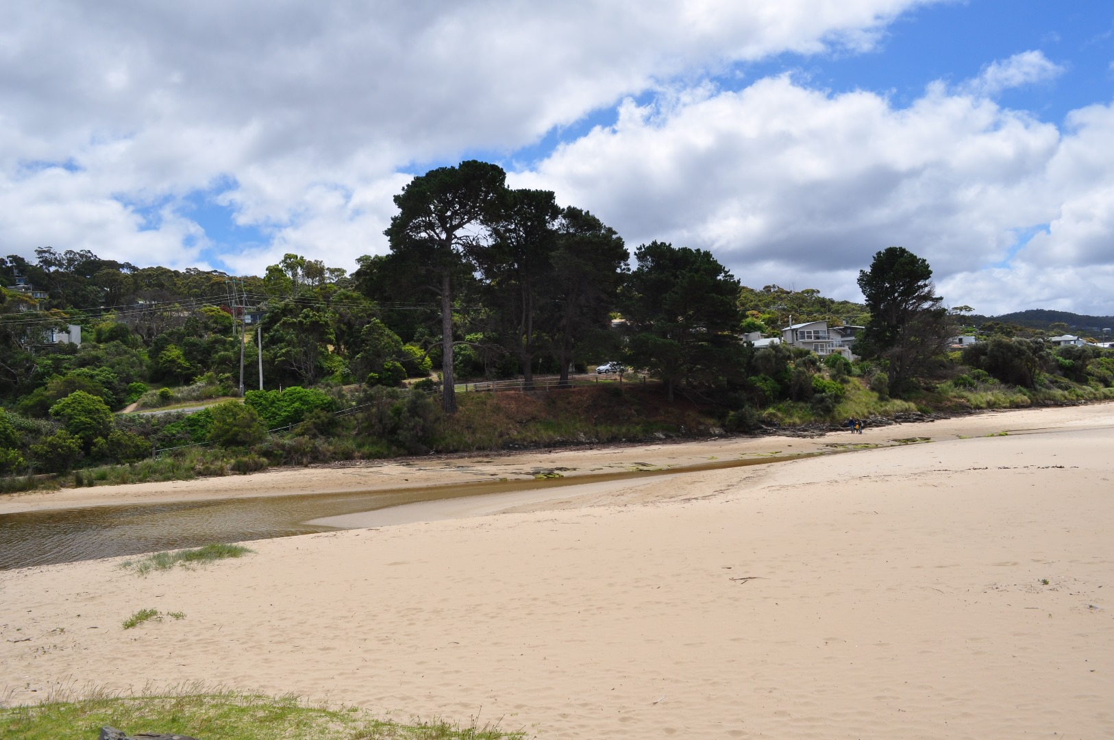
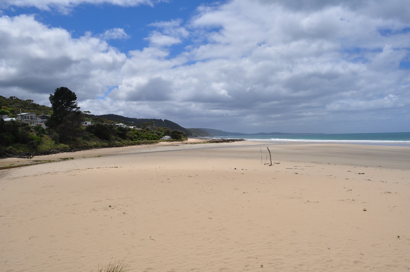
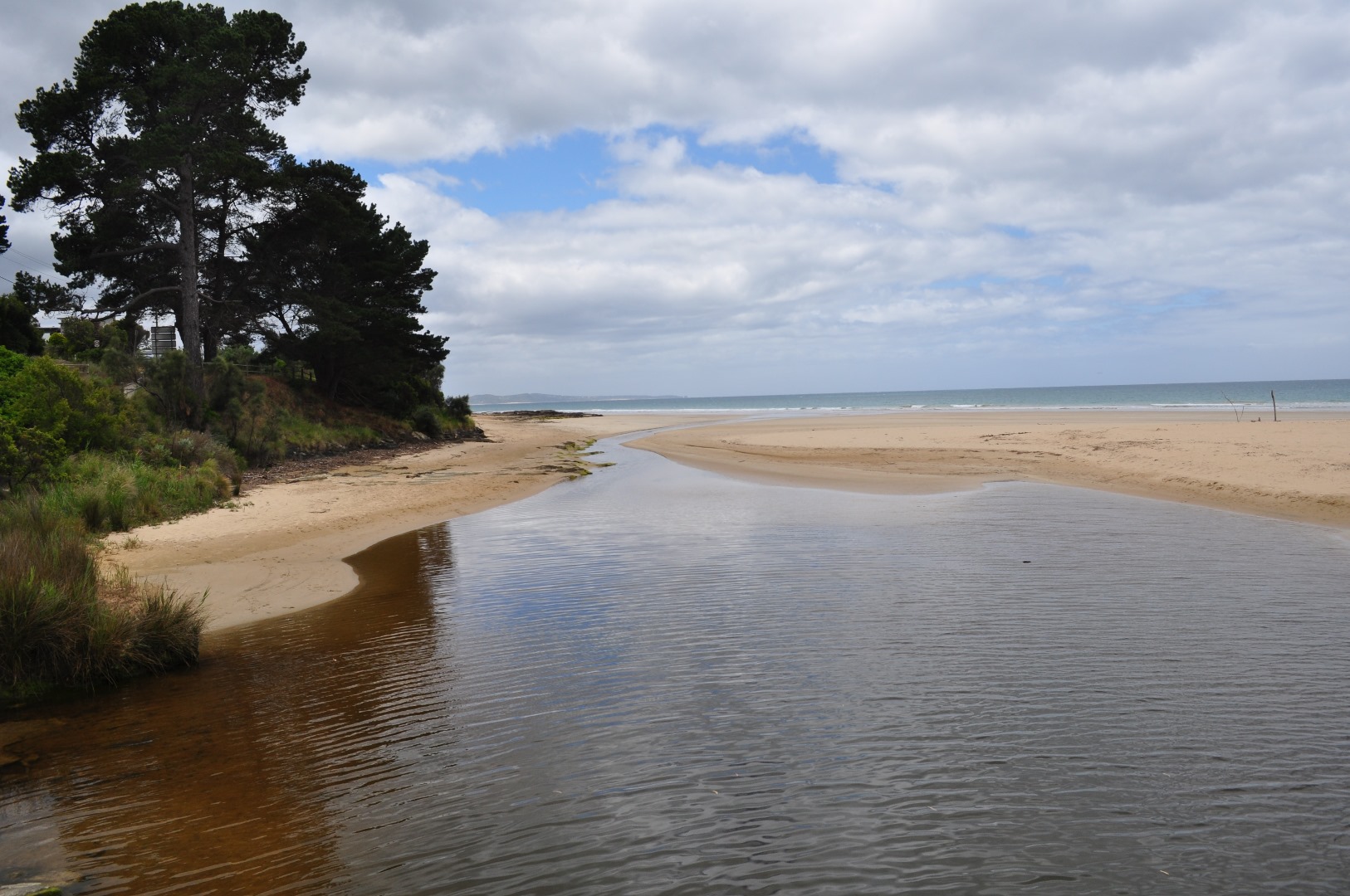
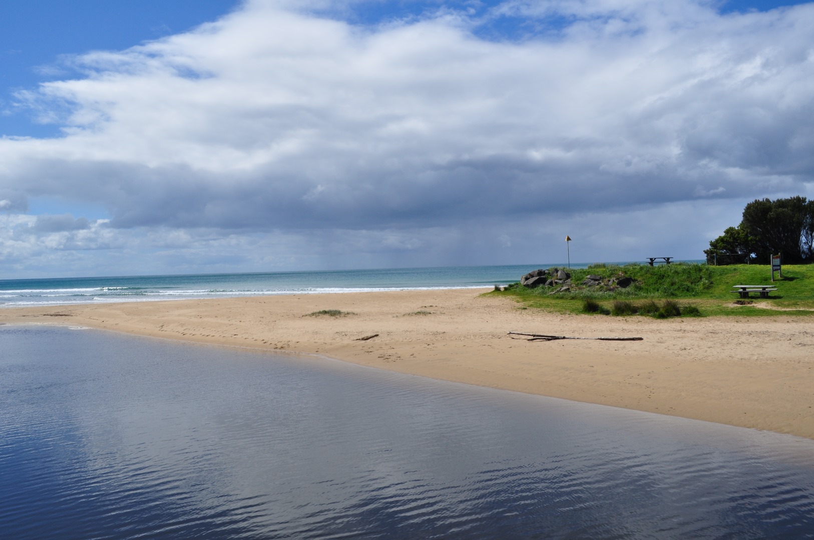
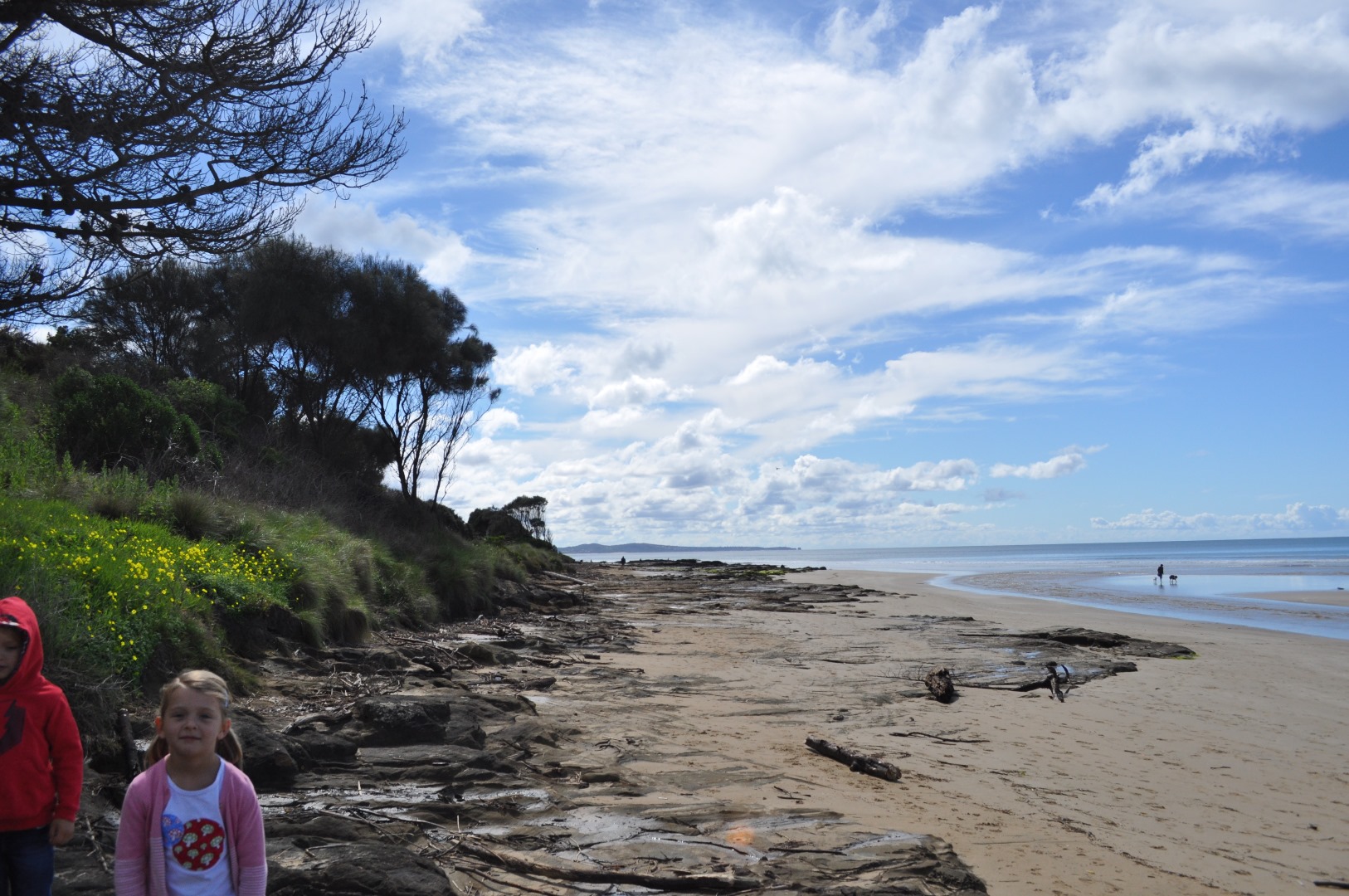
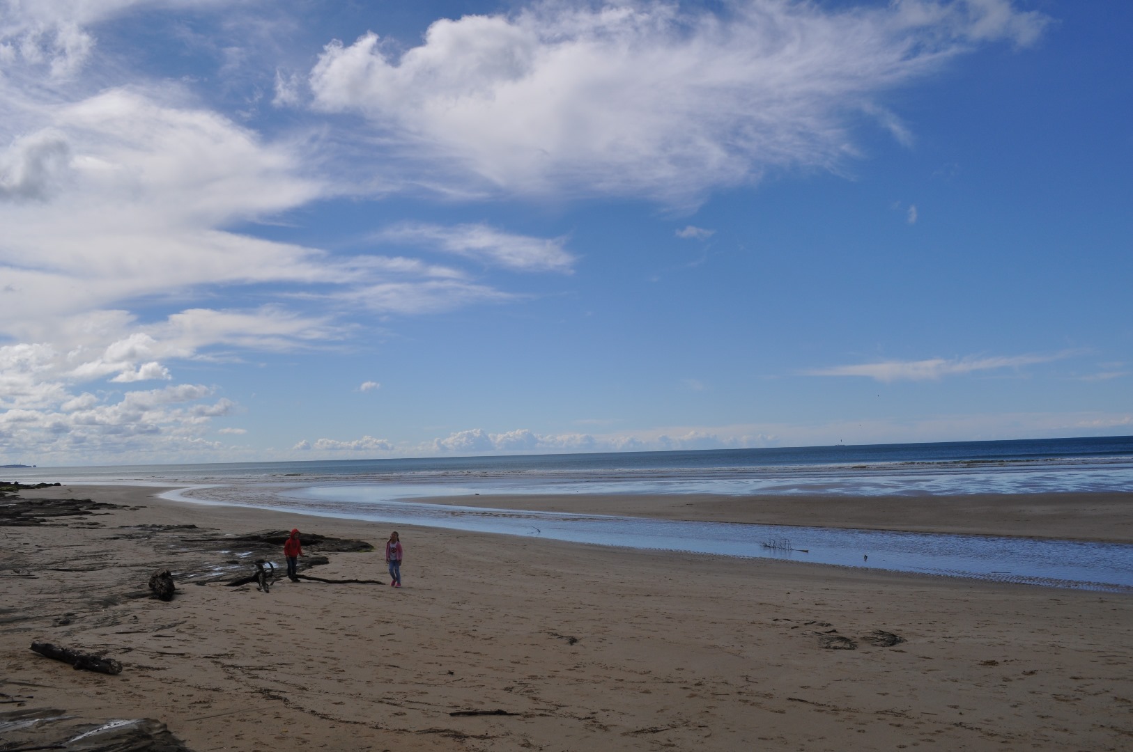
EMC Erskine River Estuary Mouth Observation Site
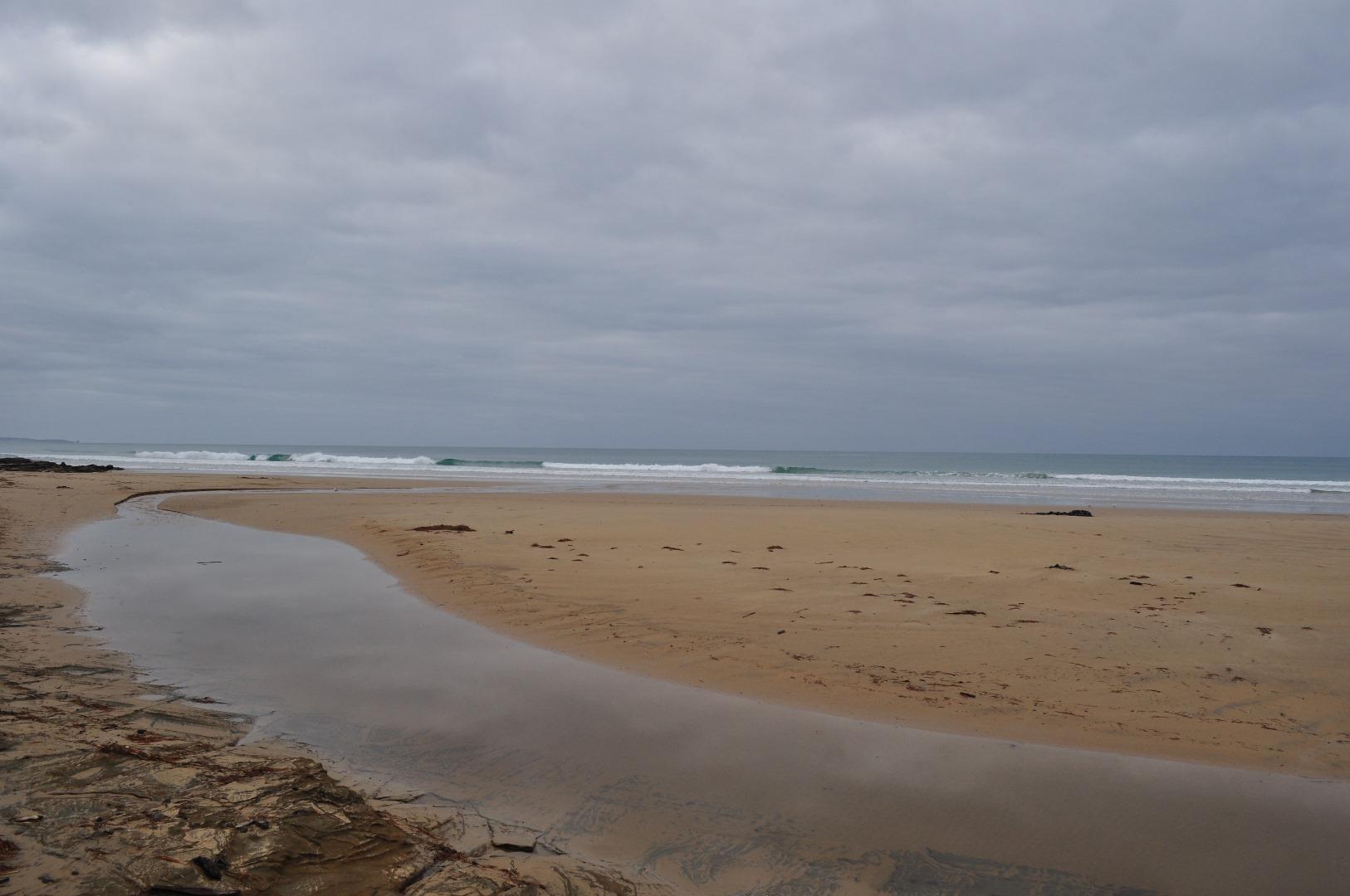
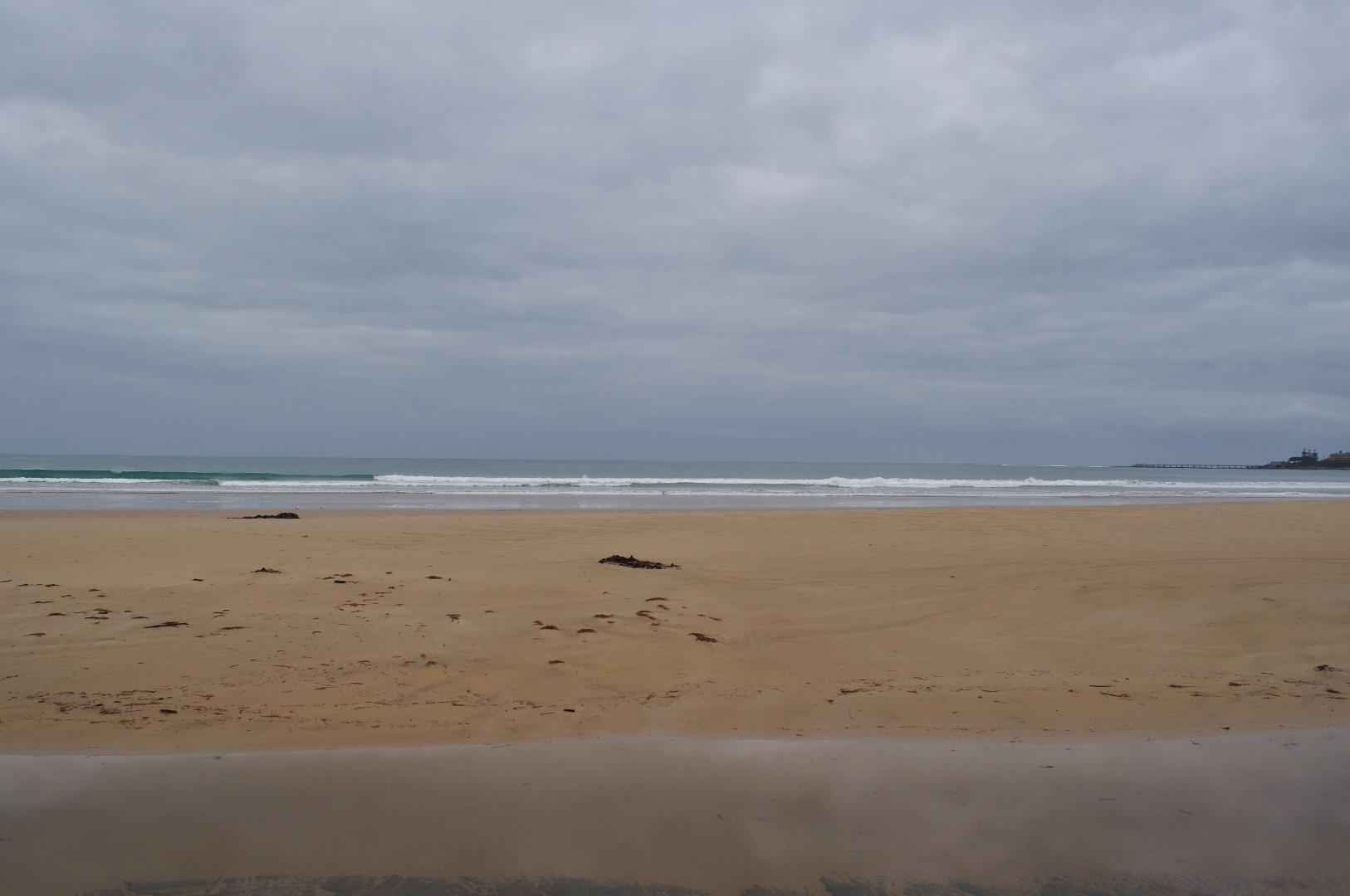
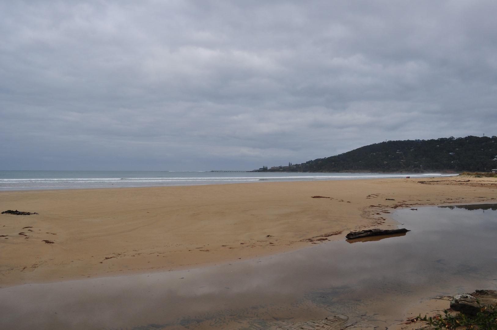
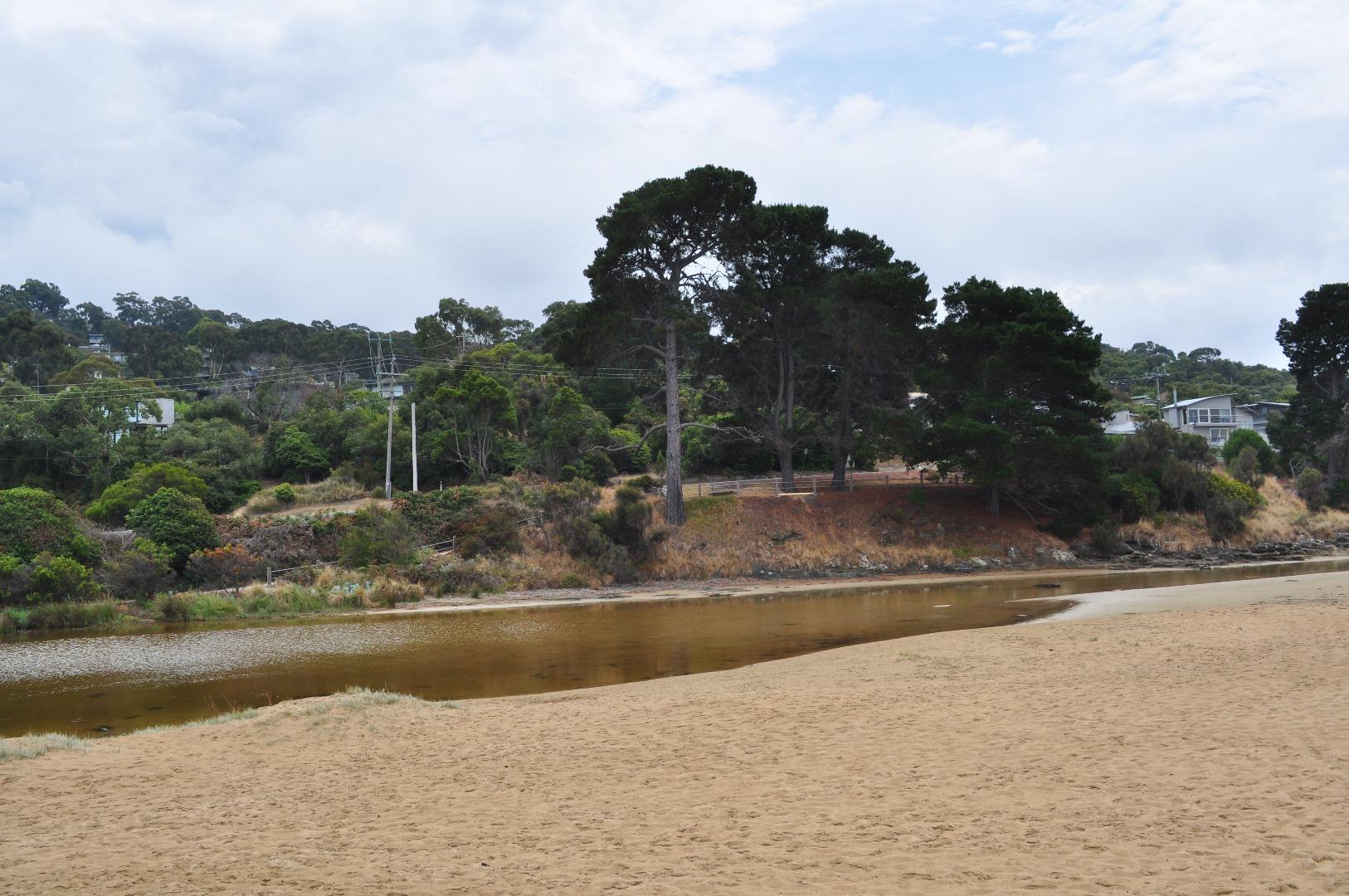
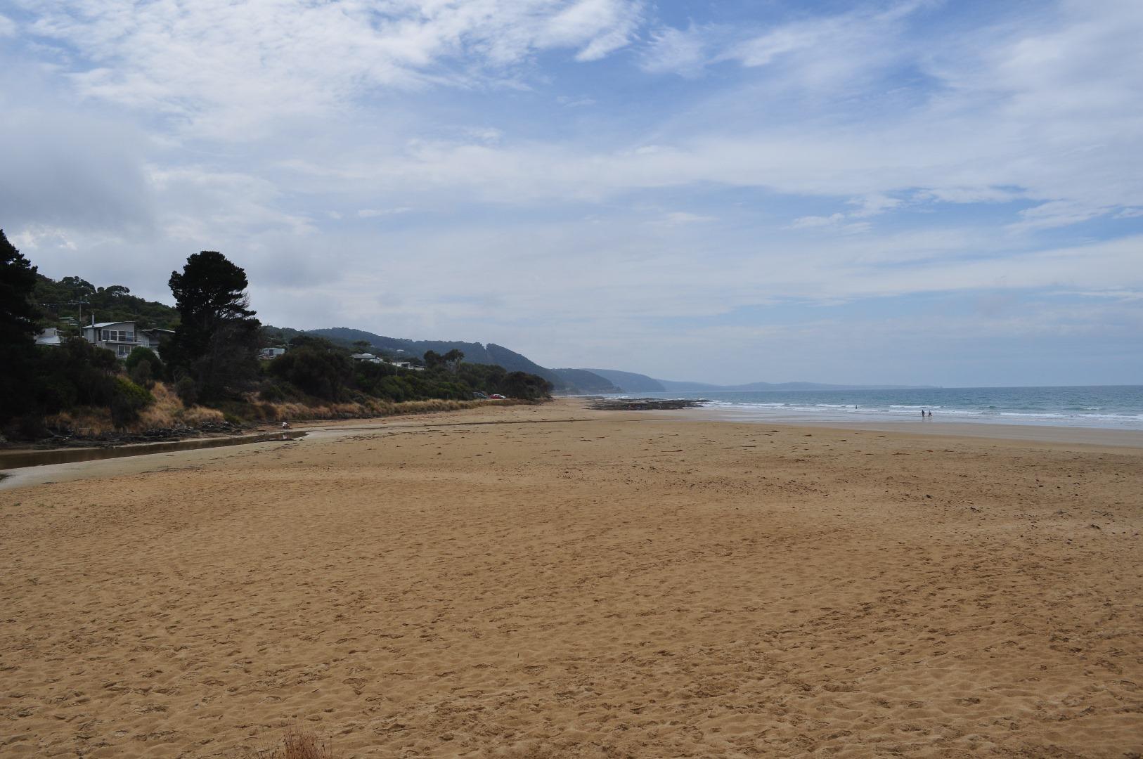
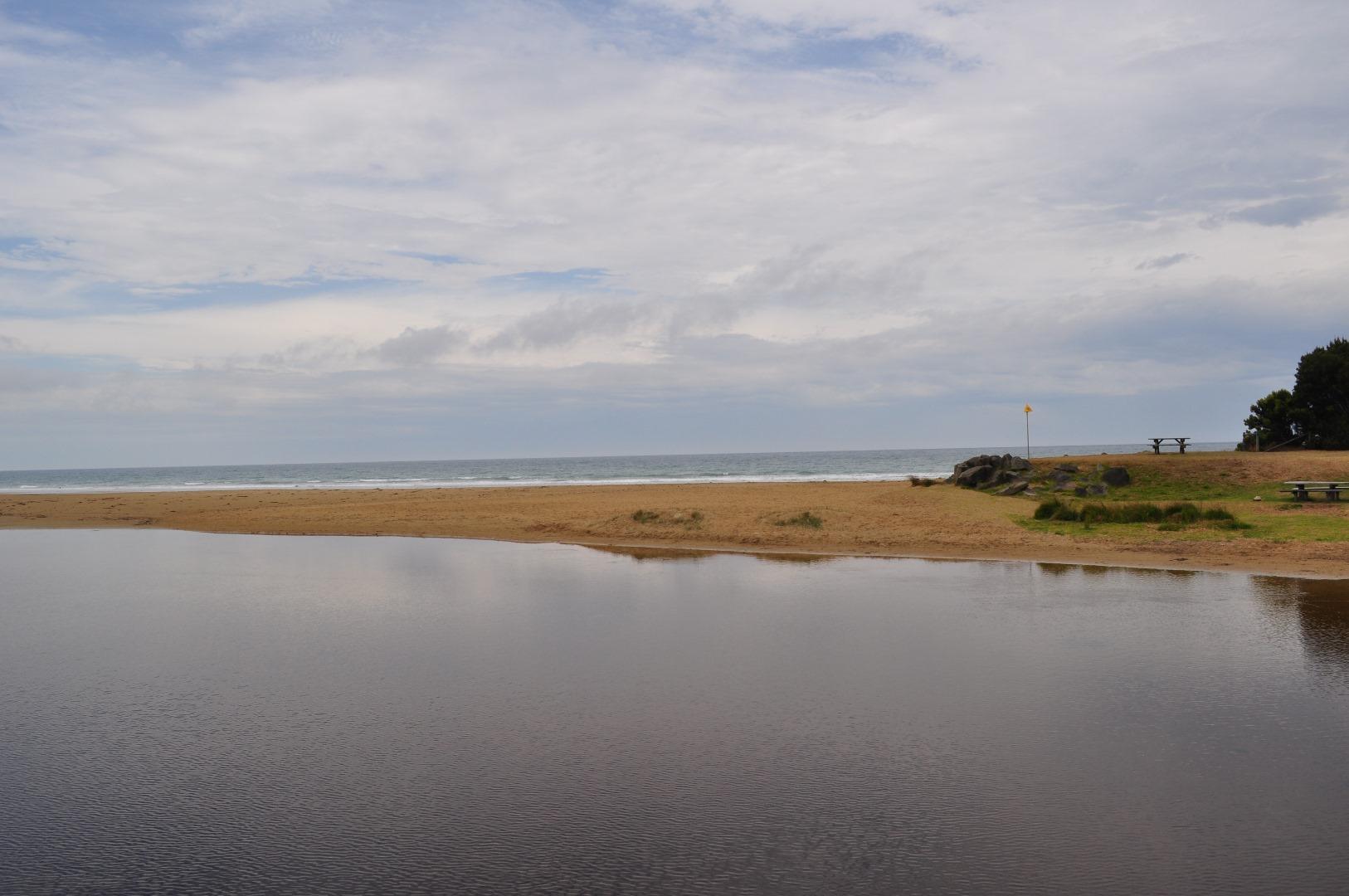
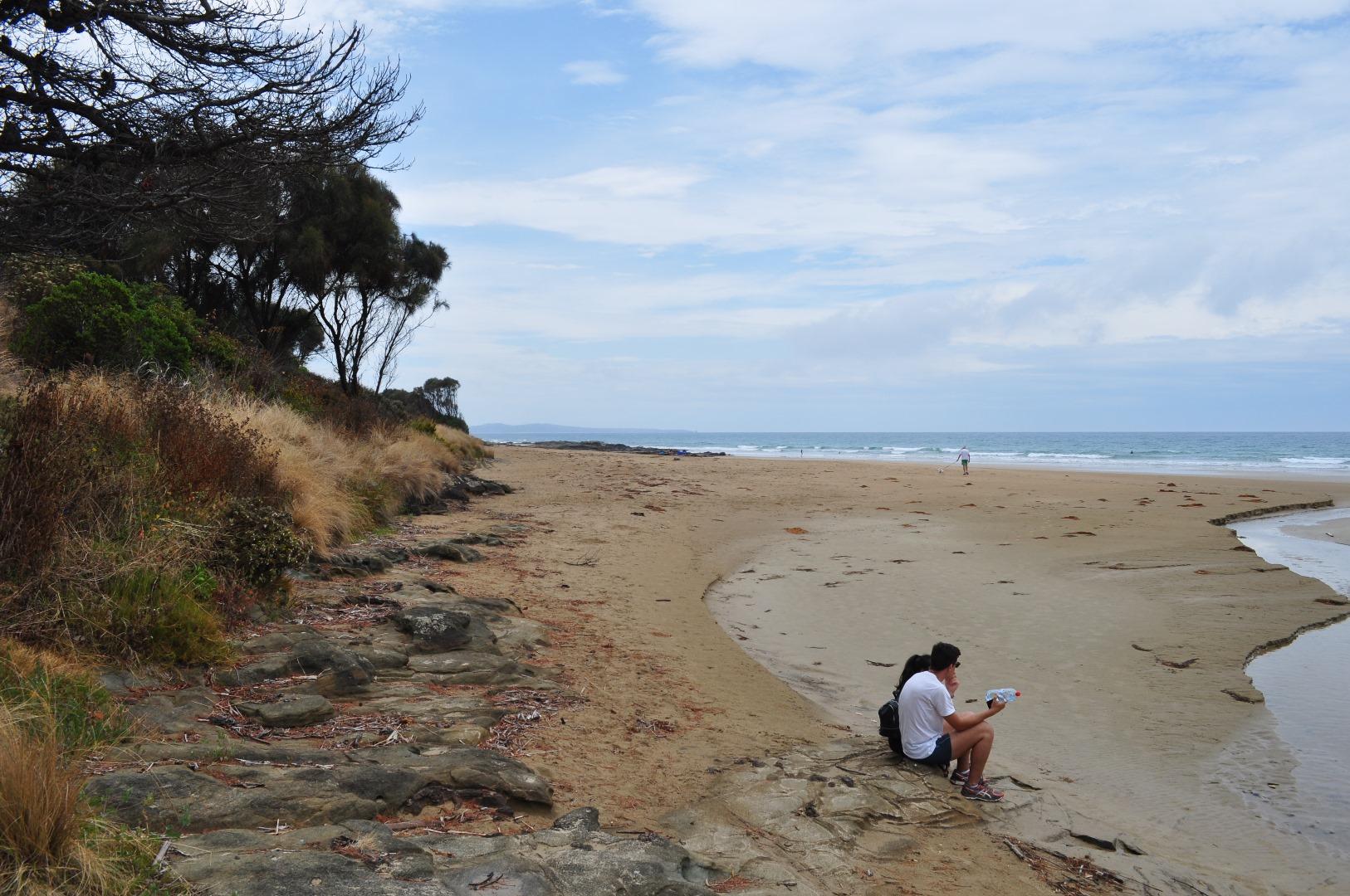
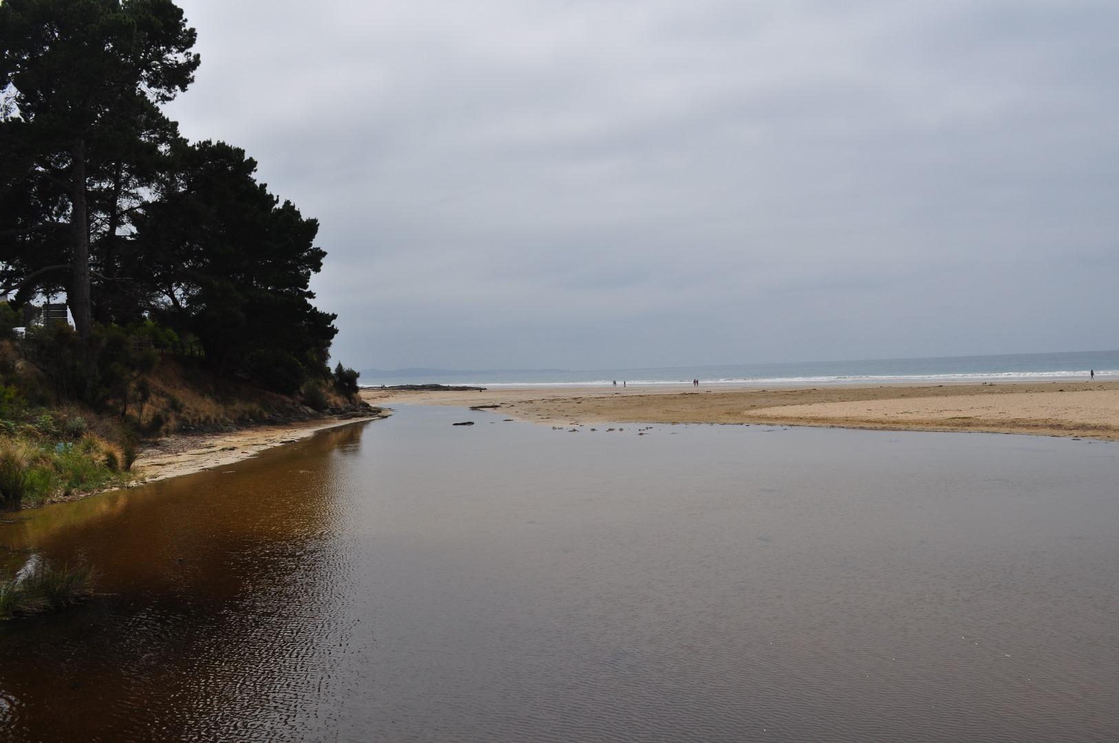
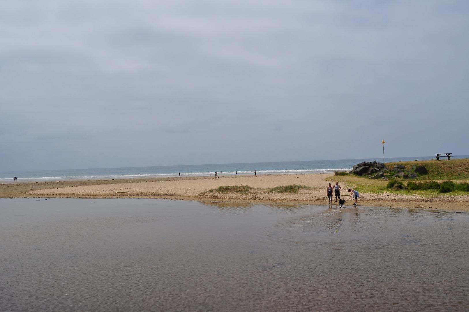
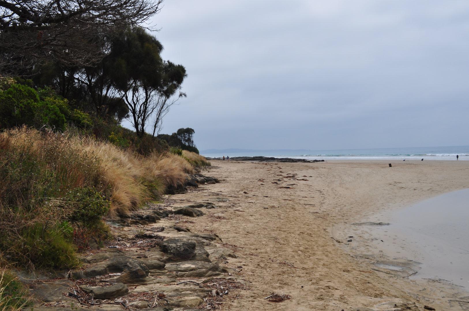
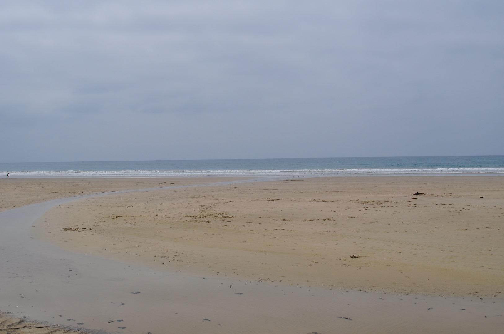
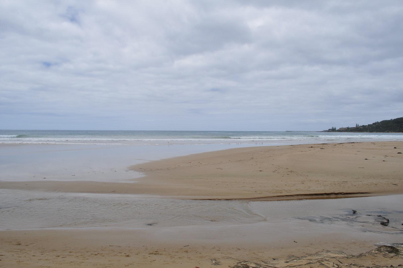
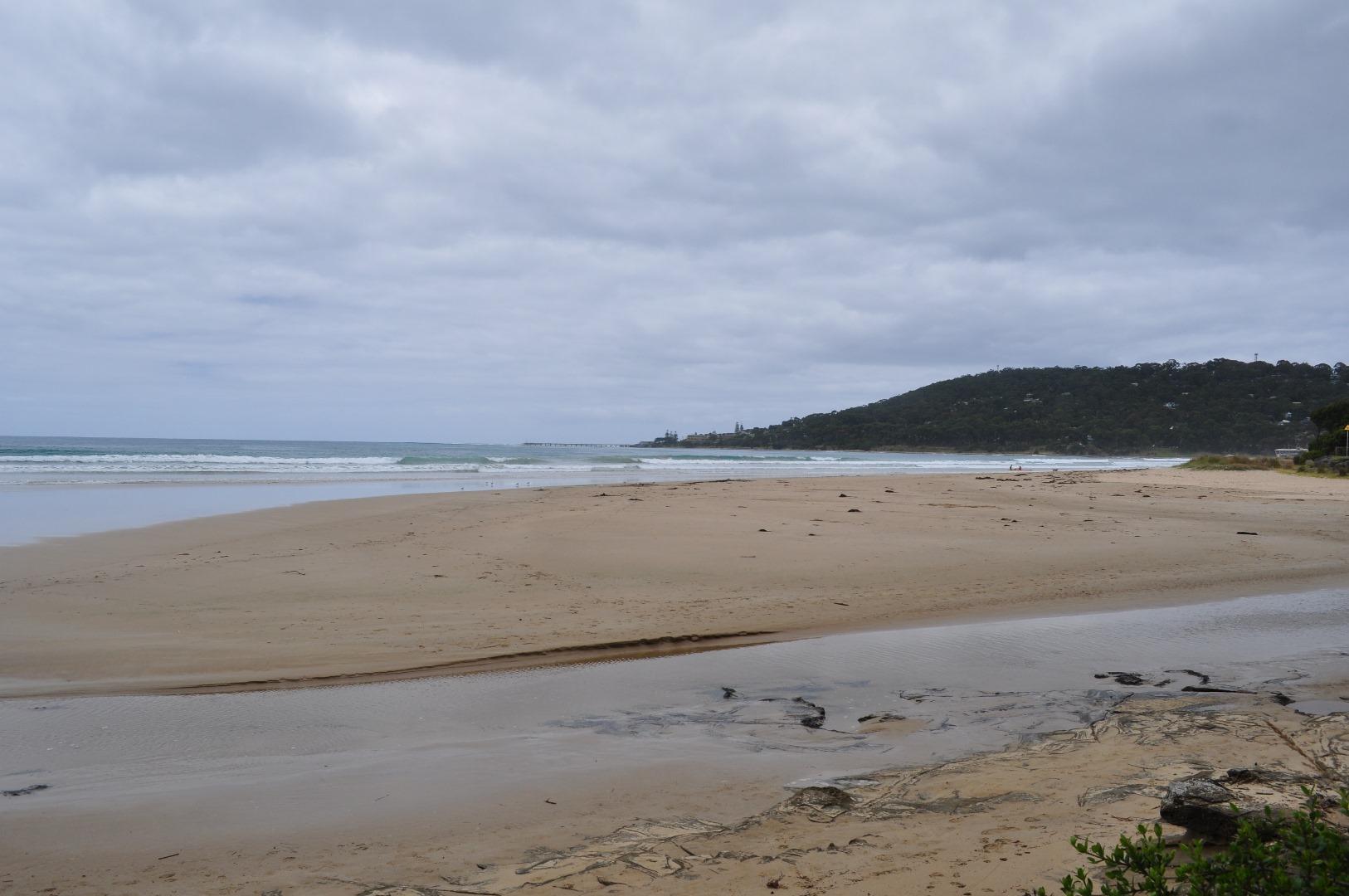
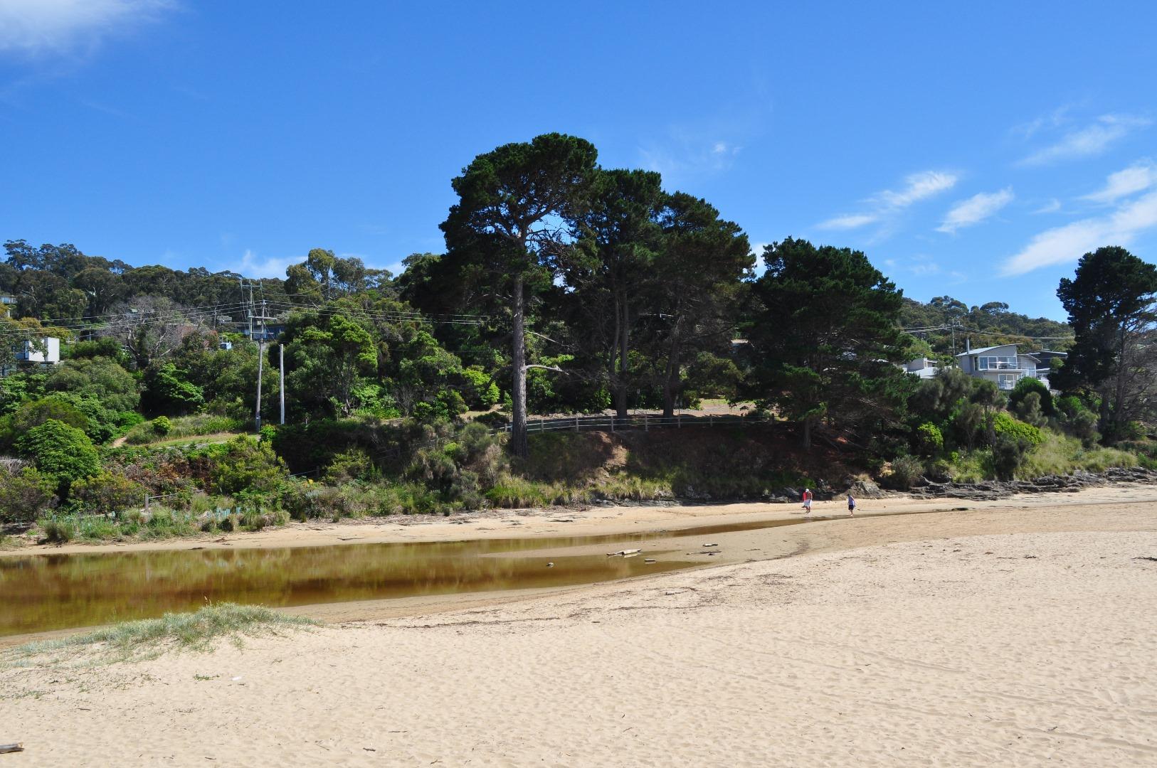
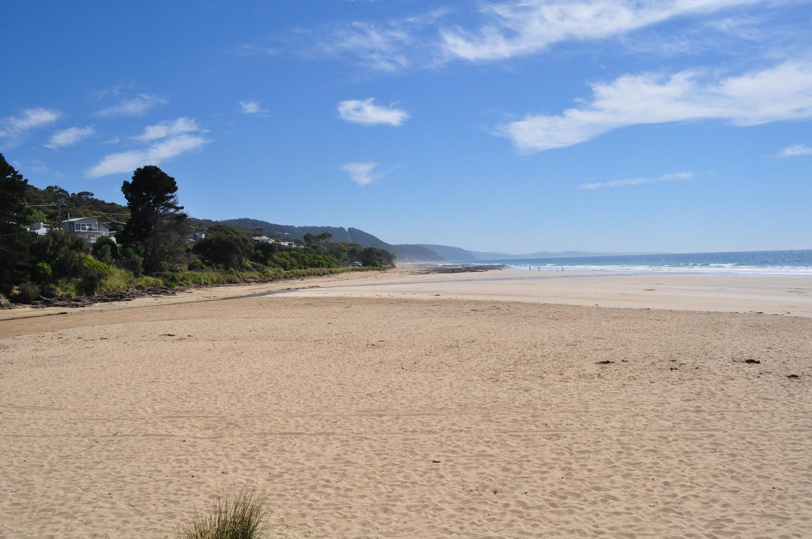
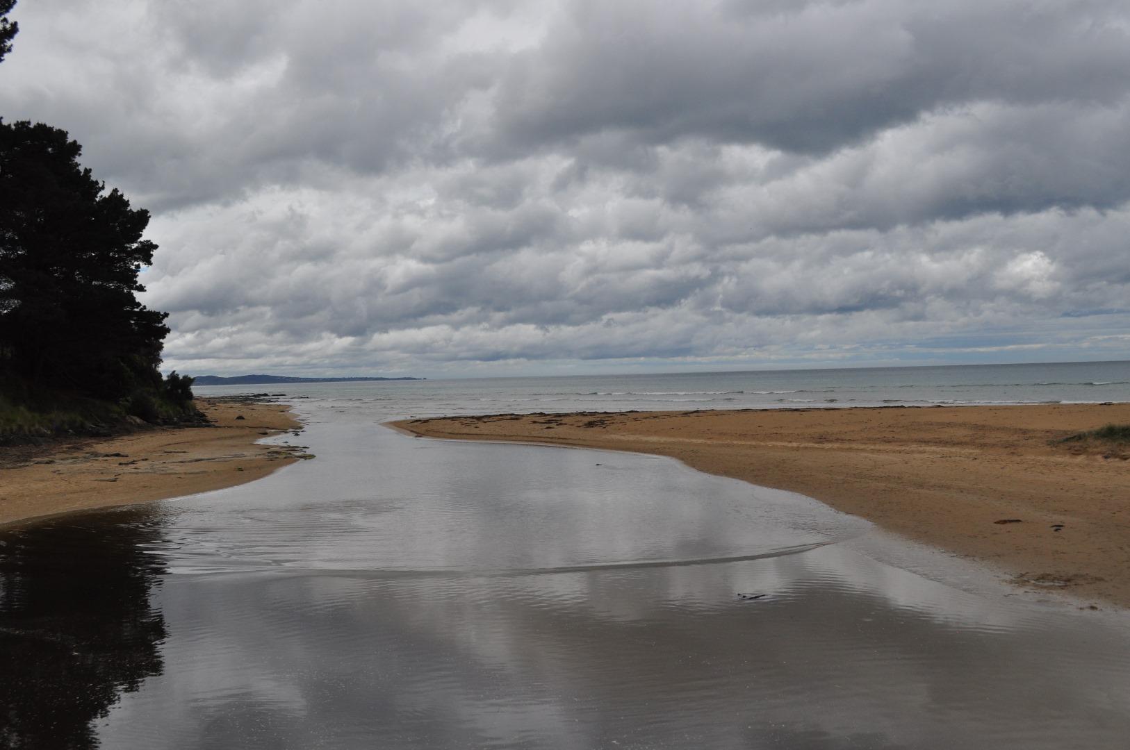
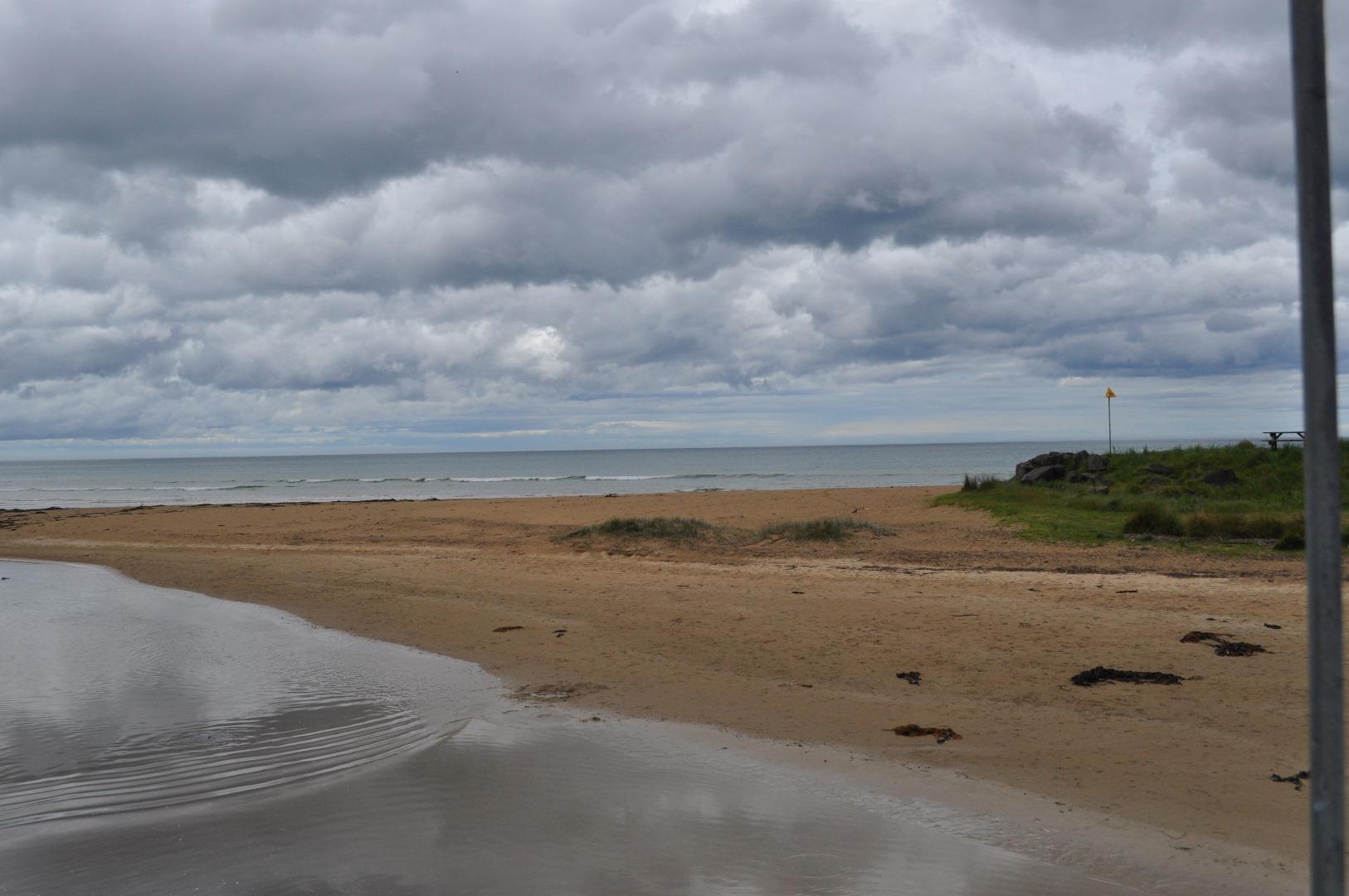
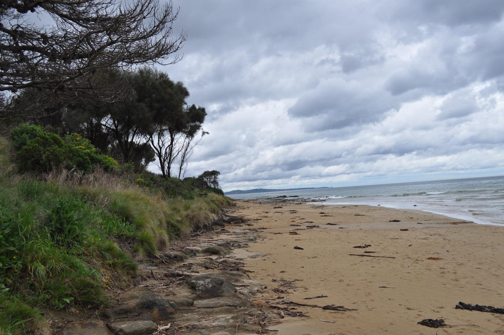
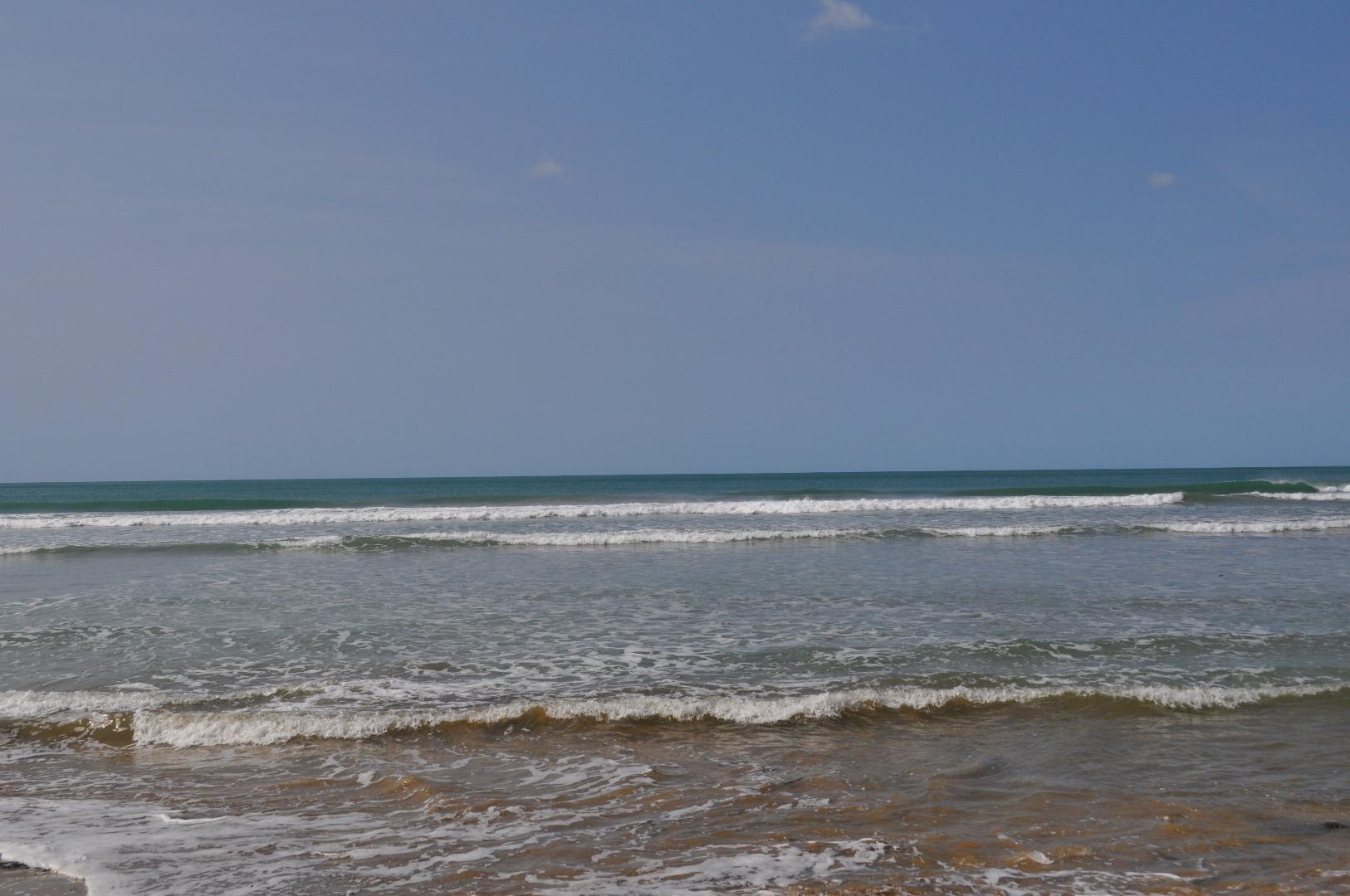
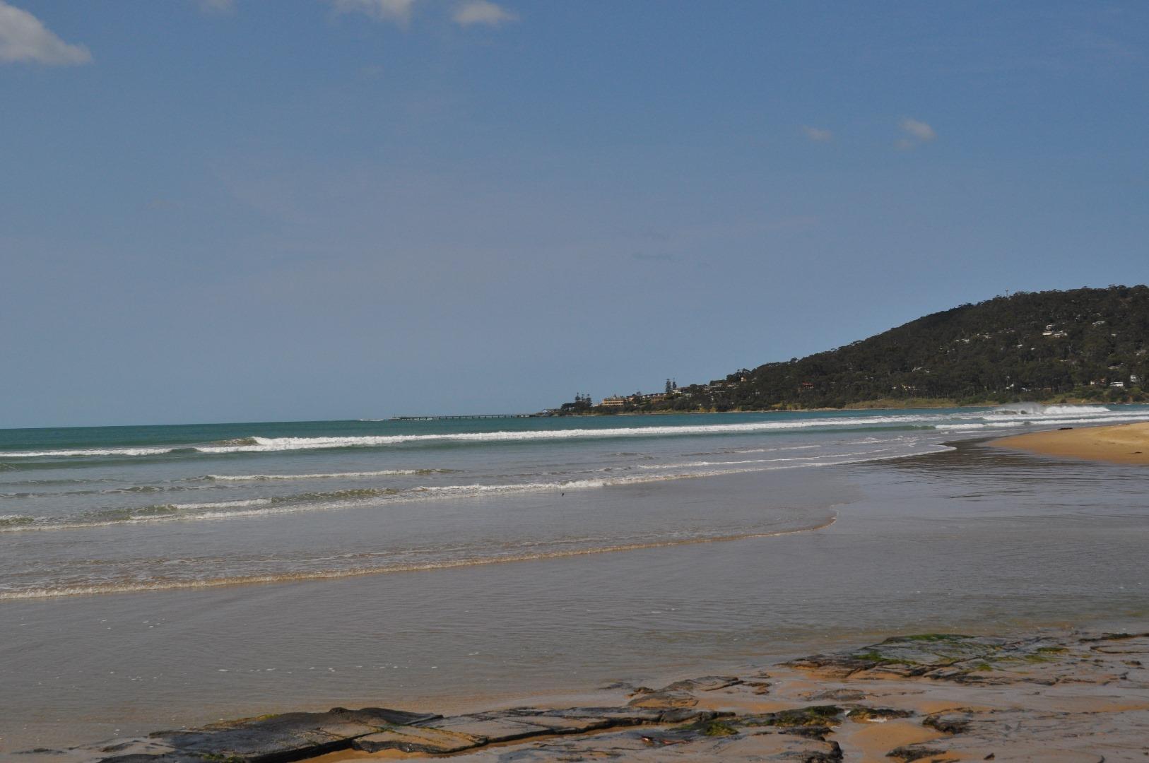
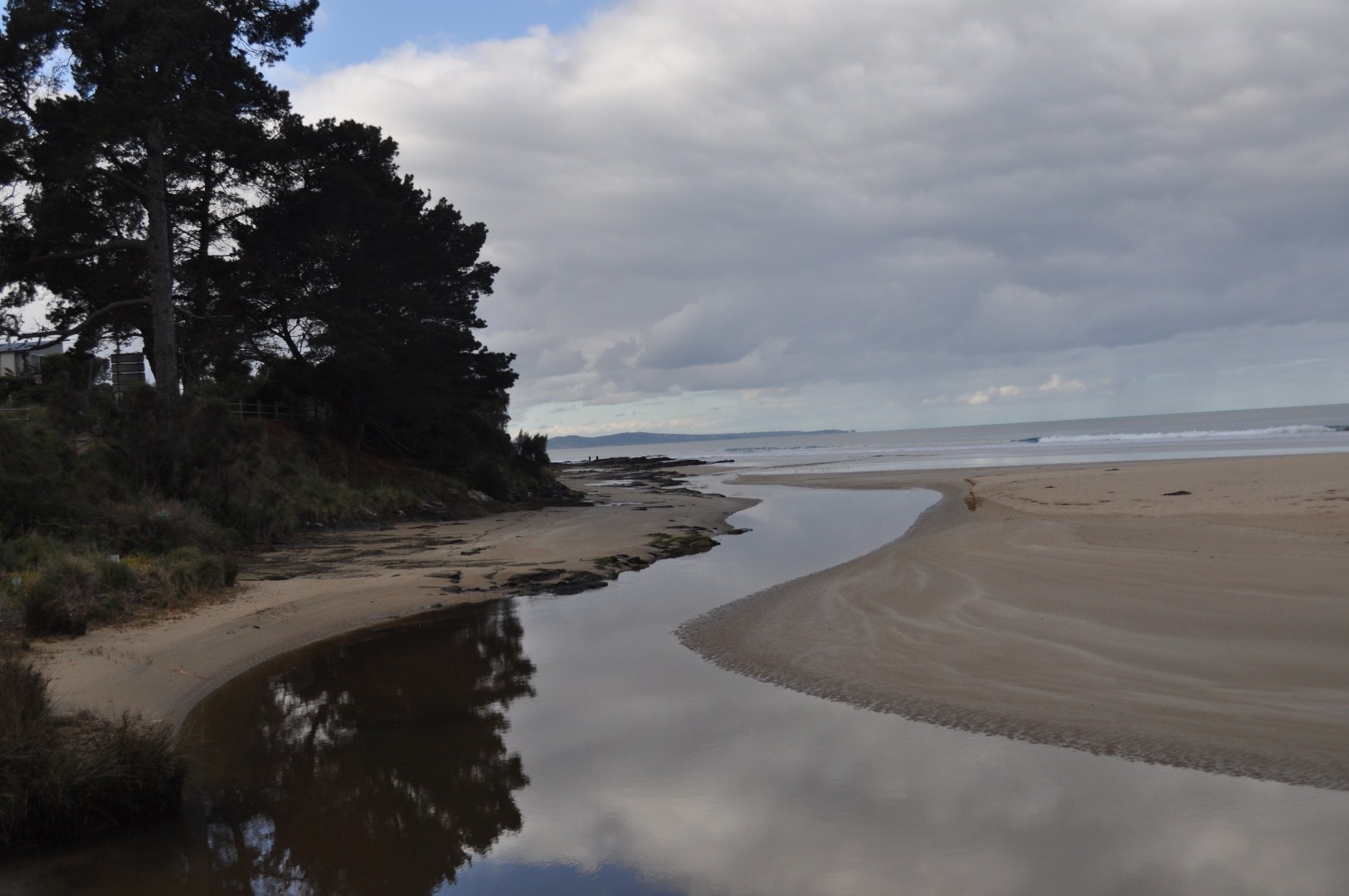
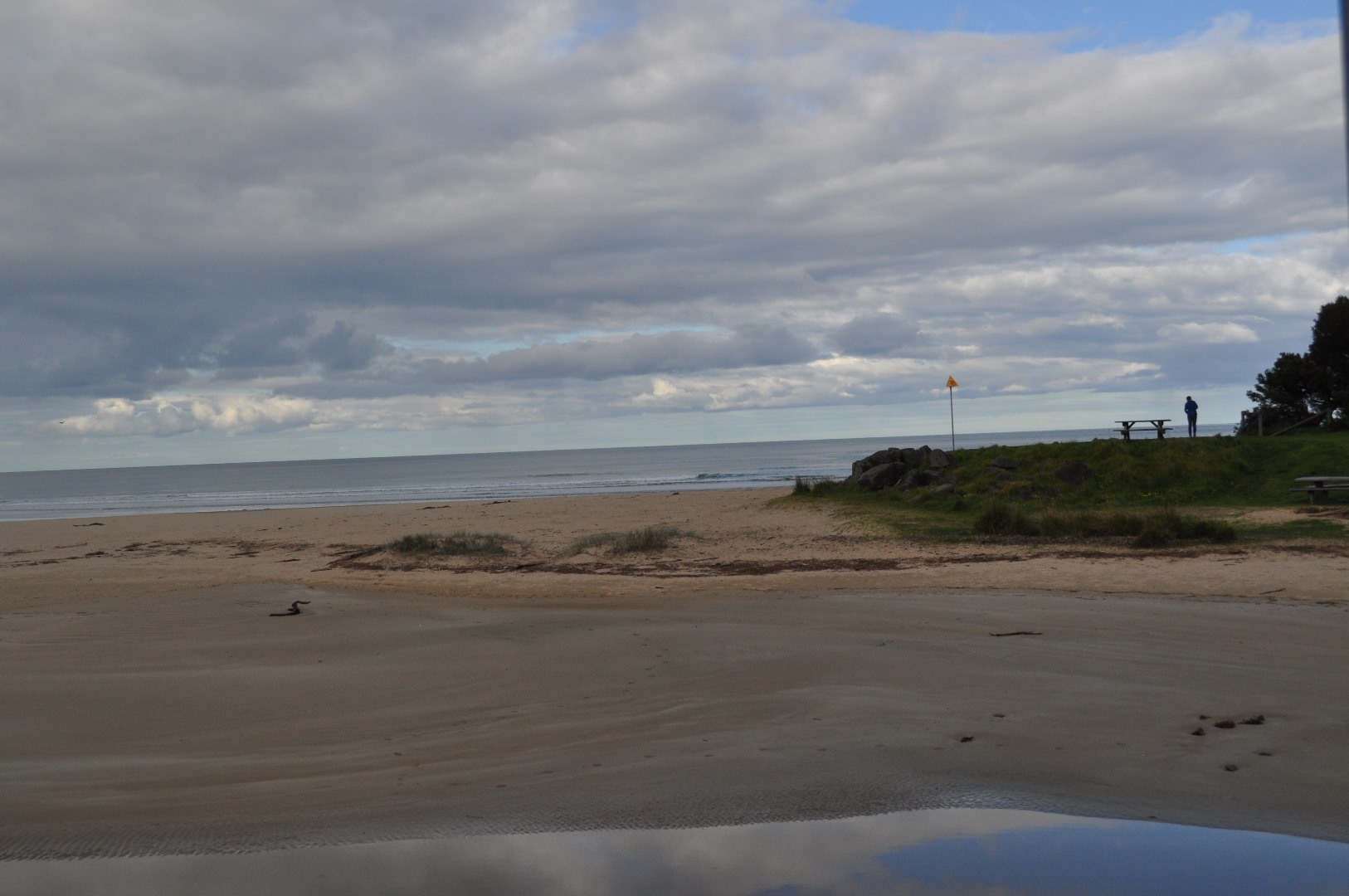
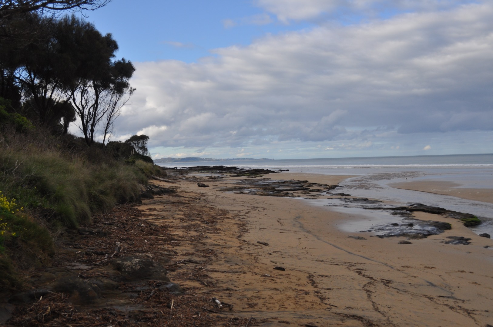
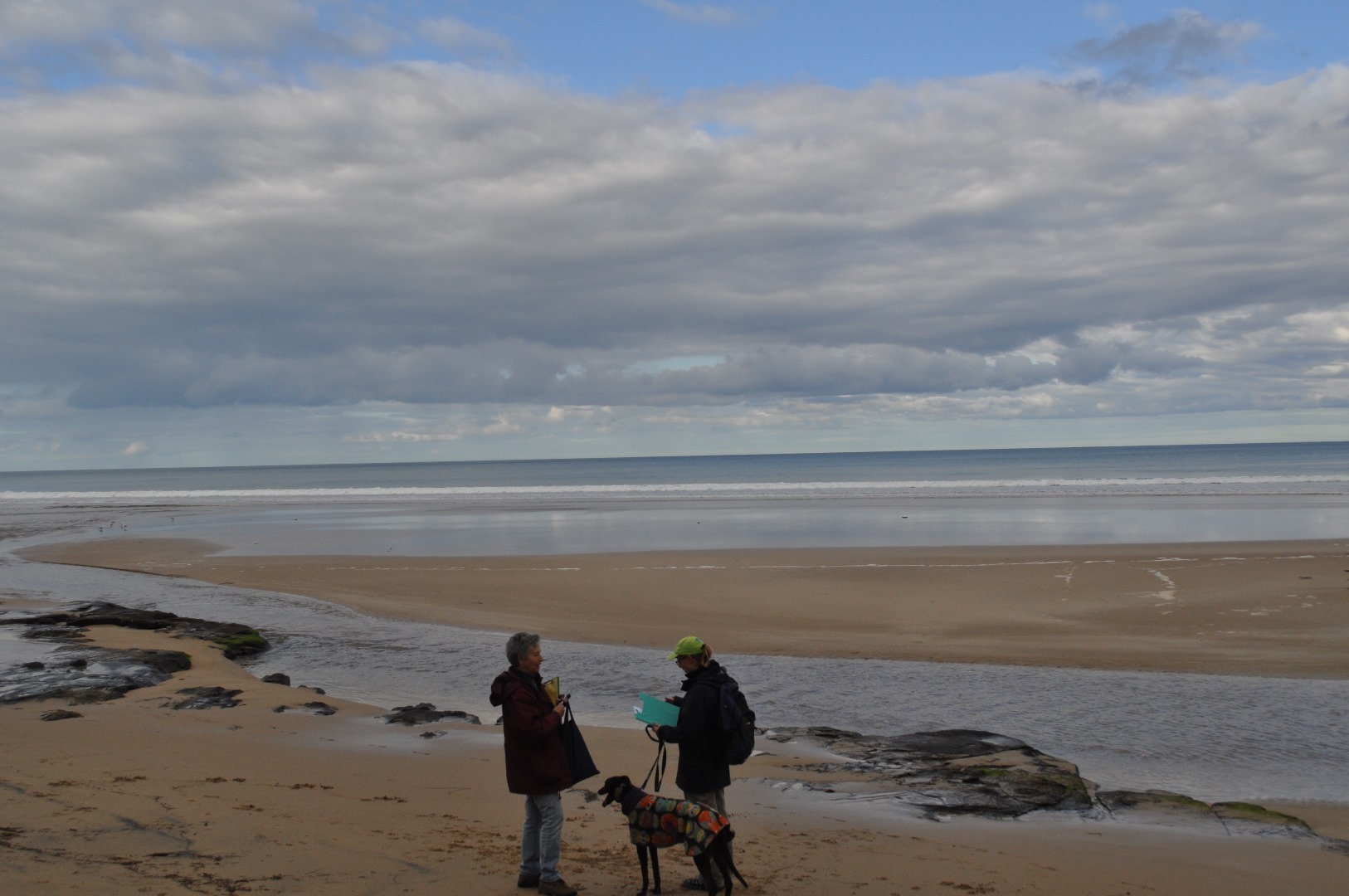
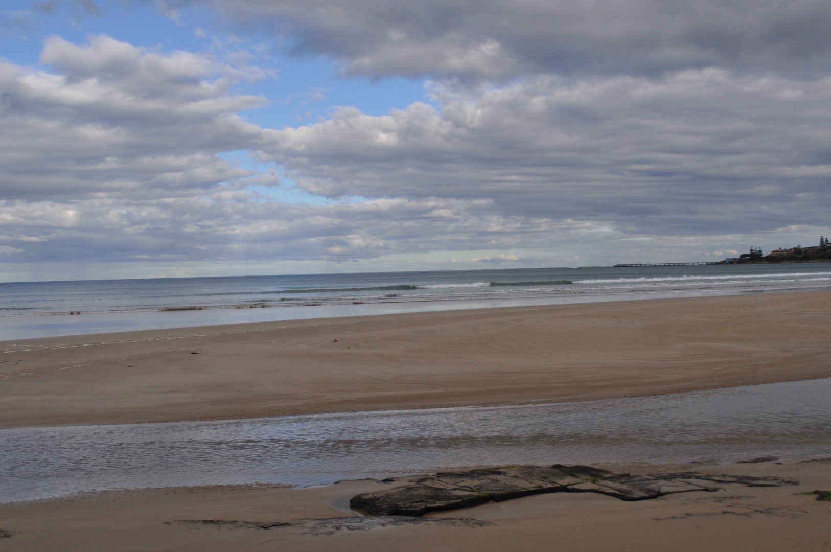
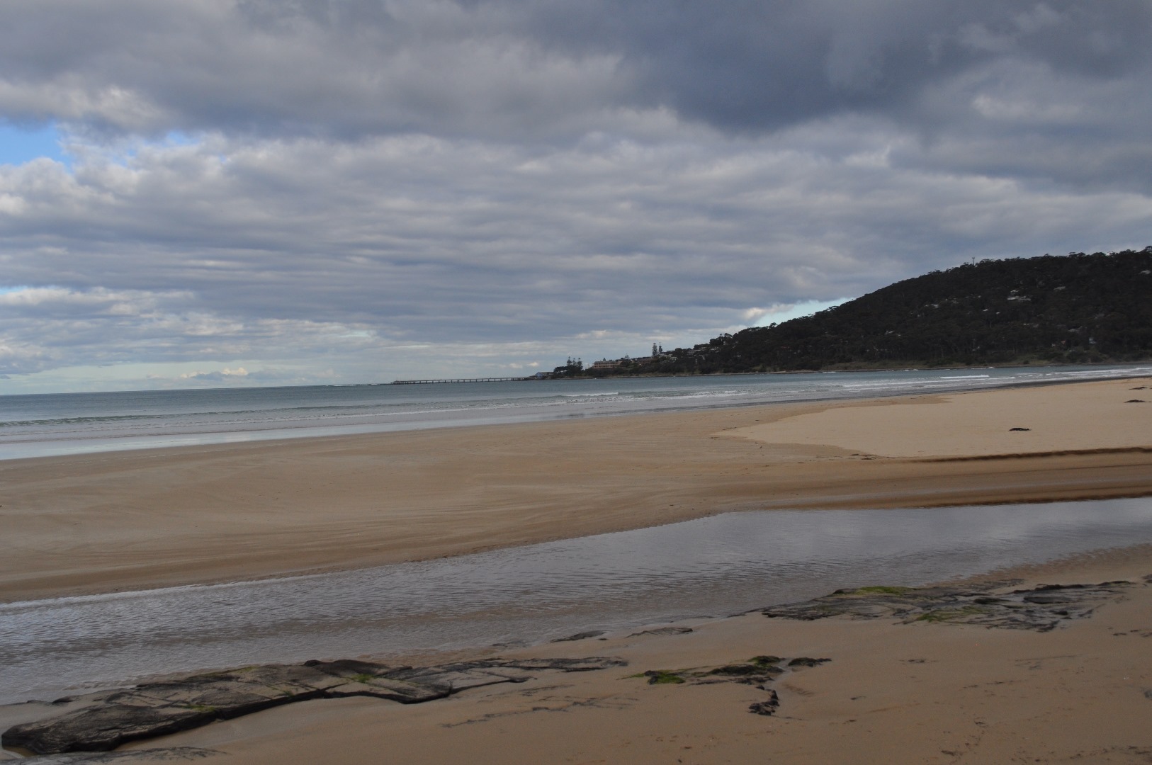
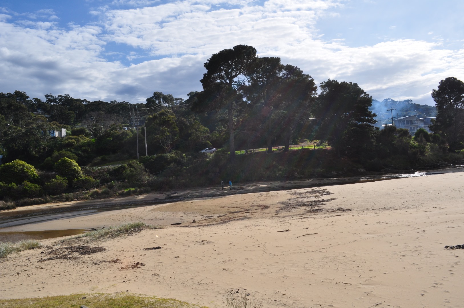
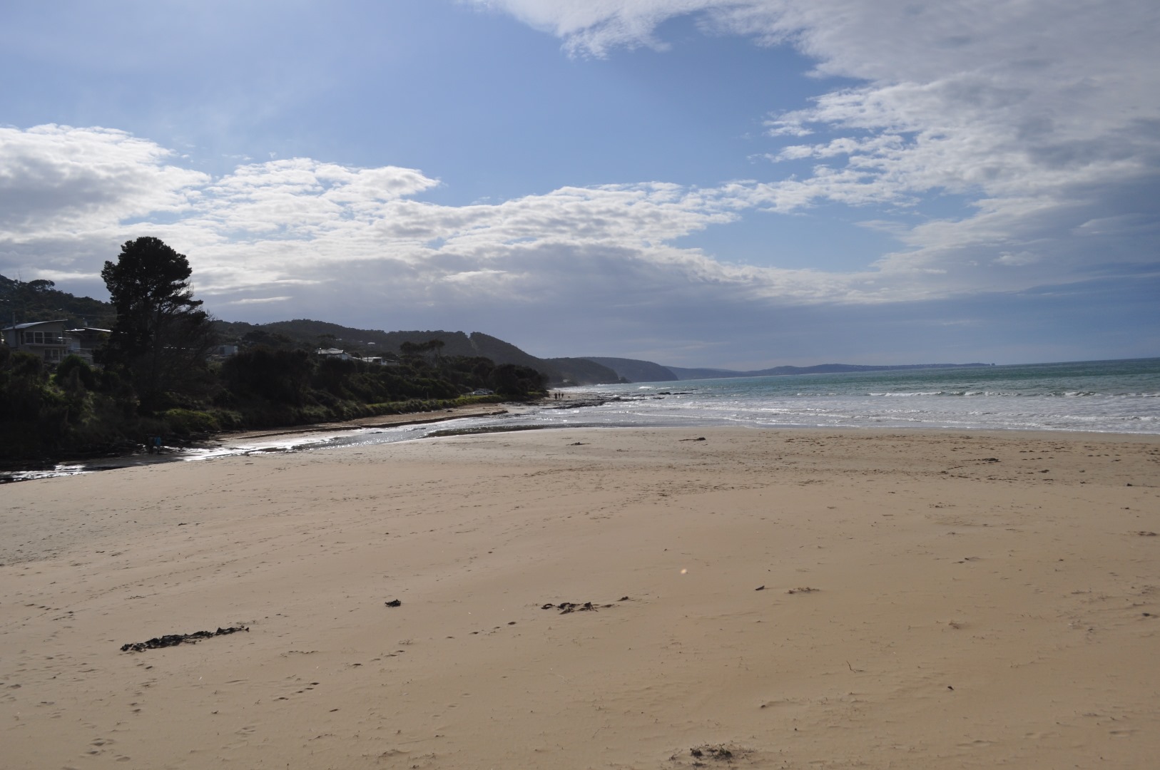
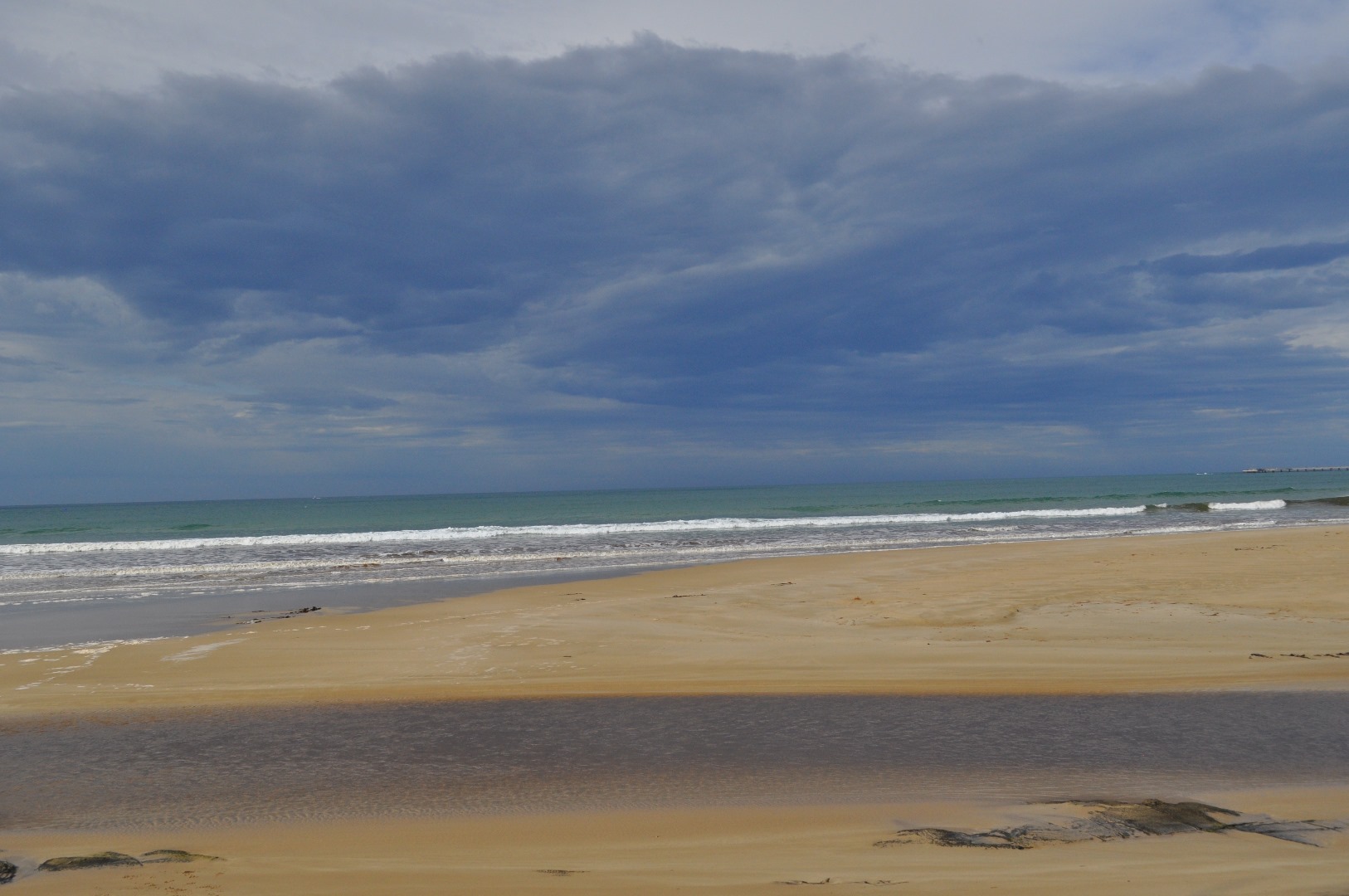
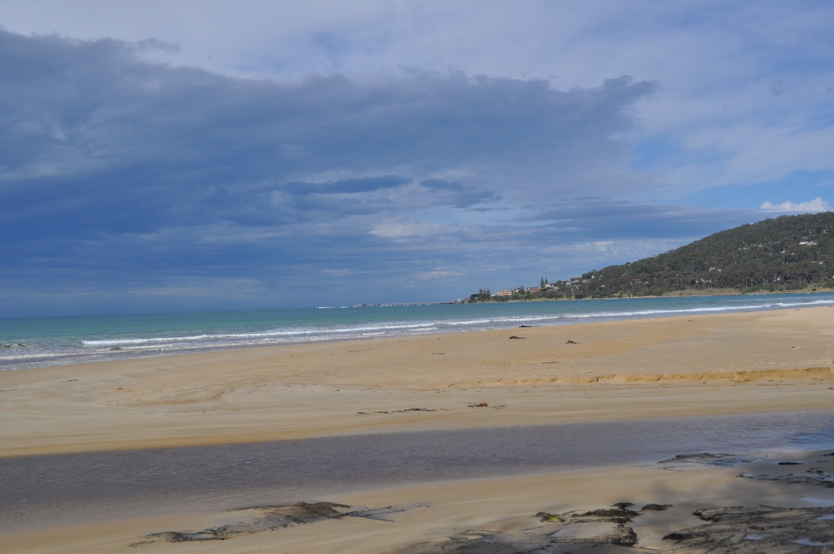
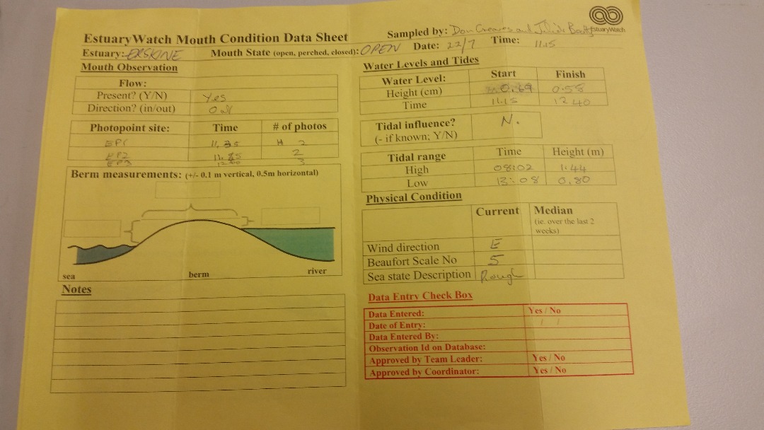
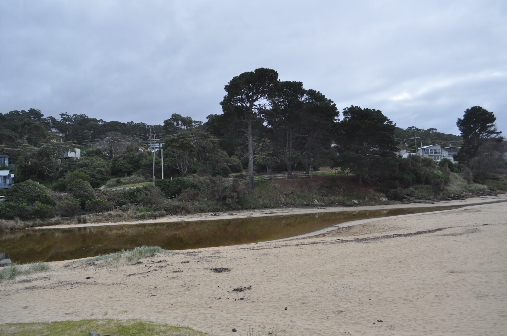
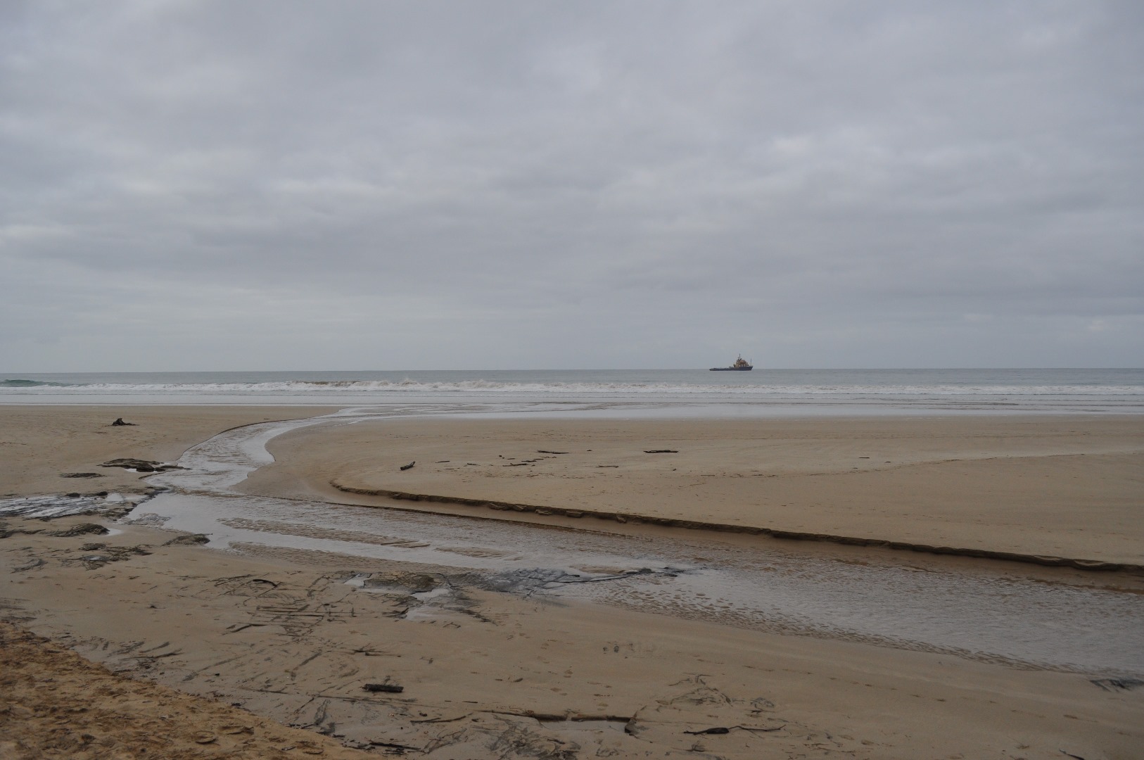
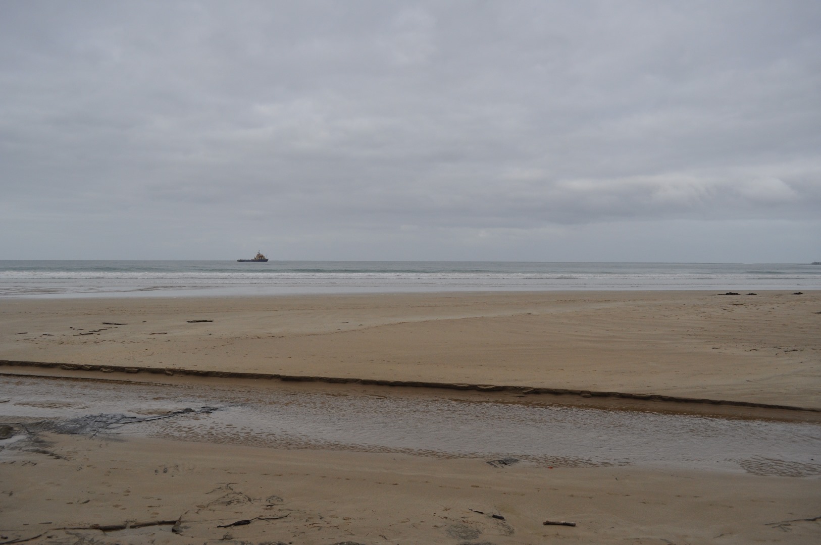
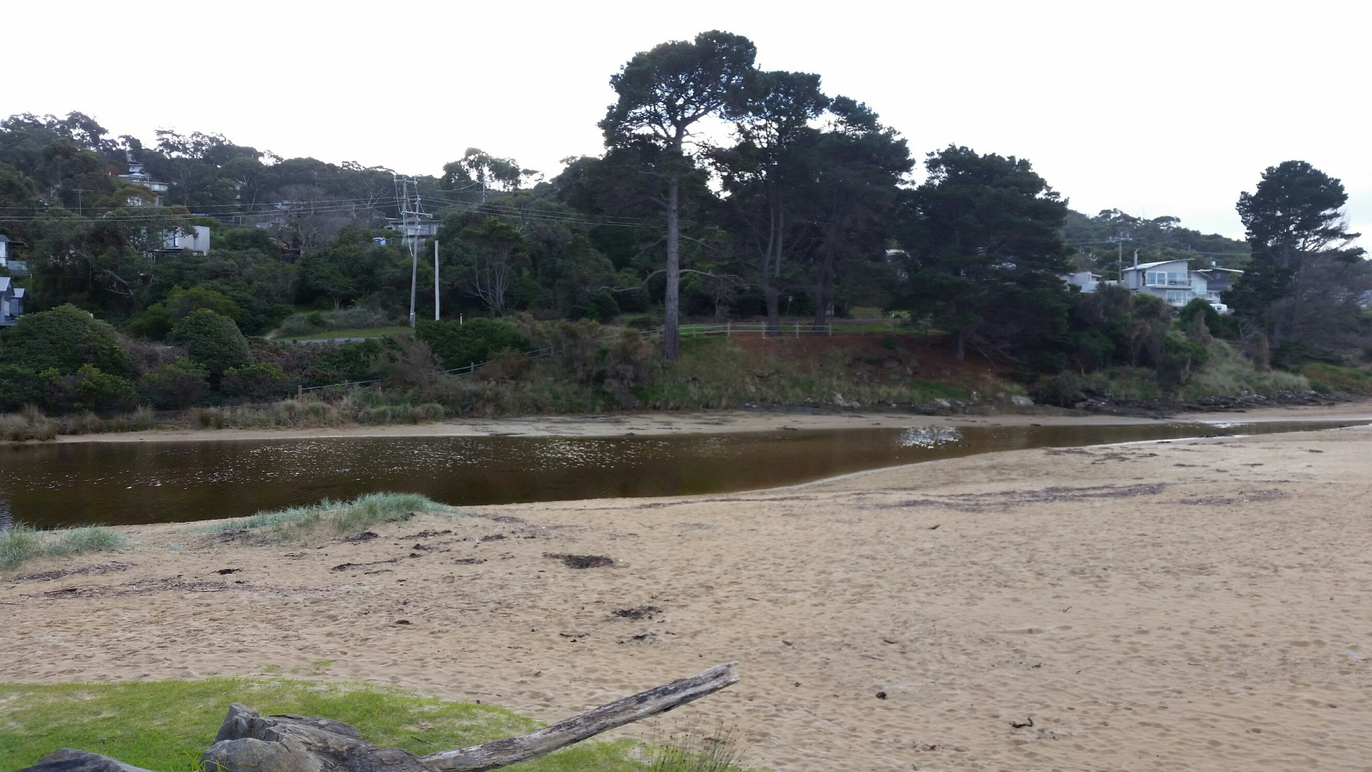
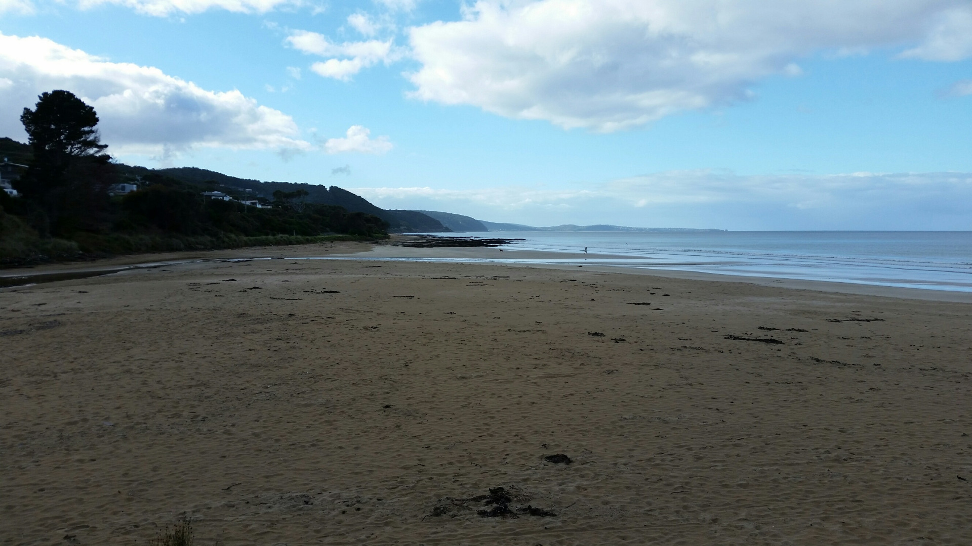
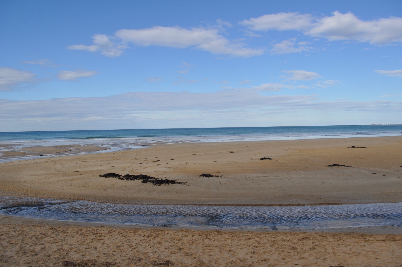
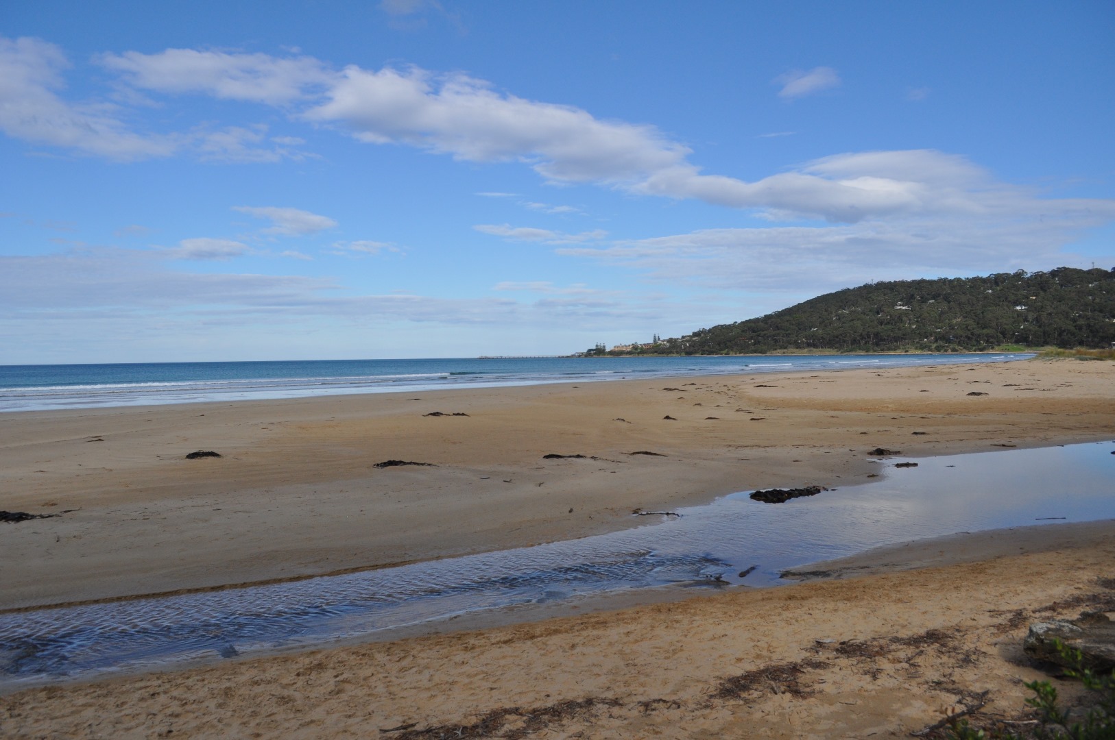
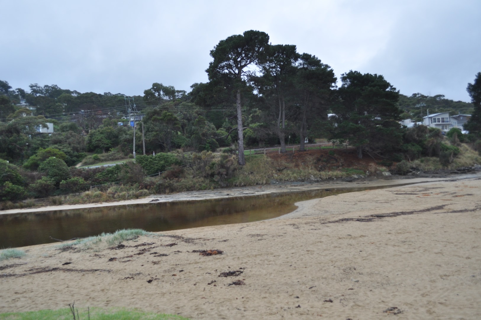
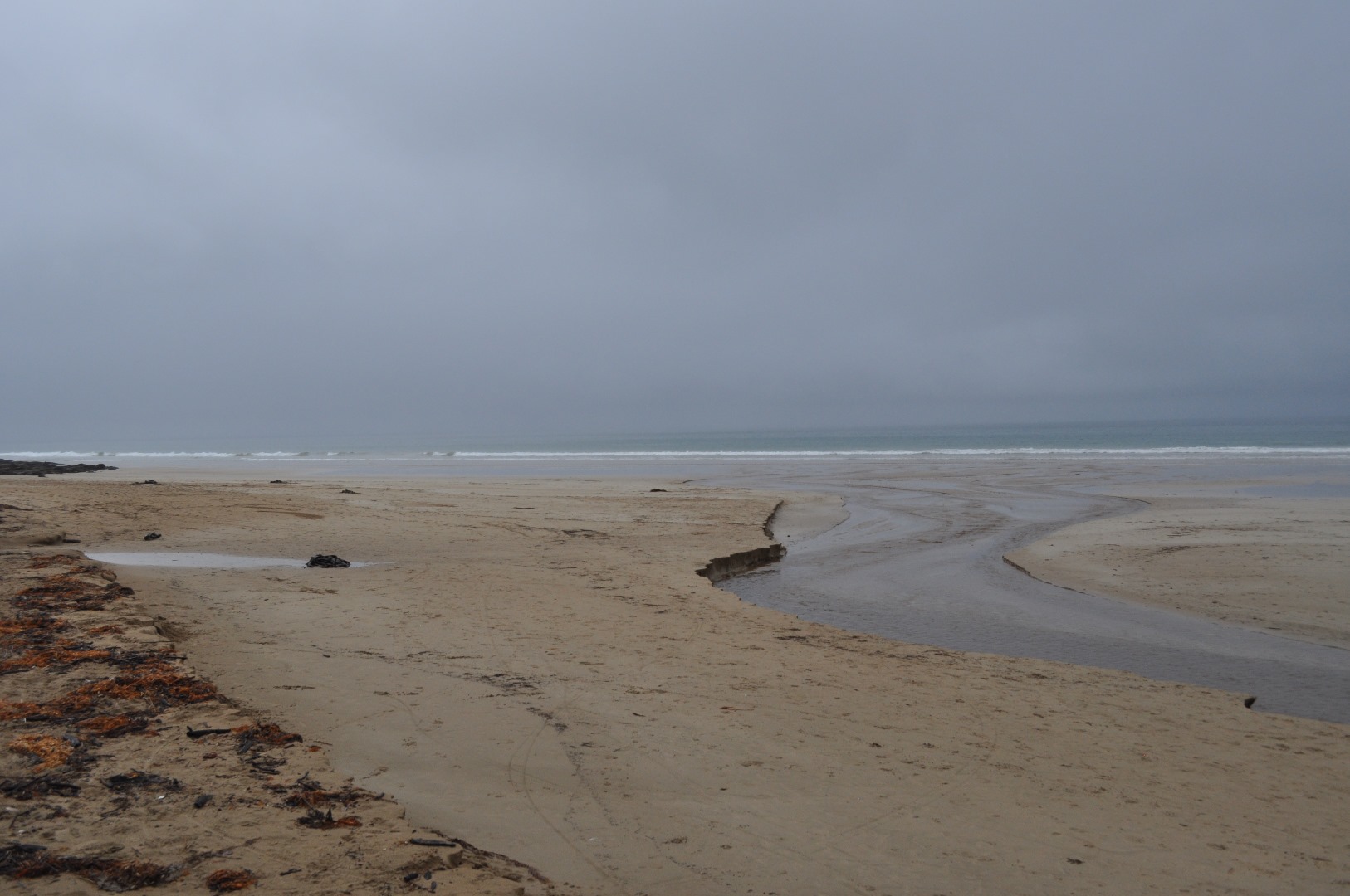
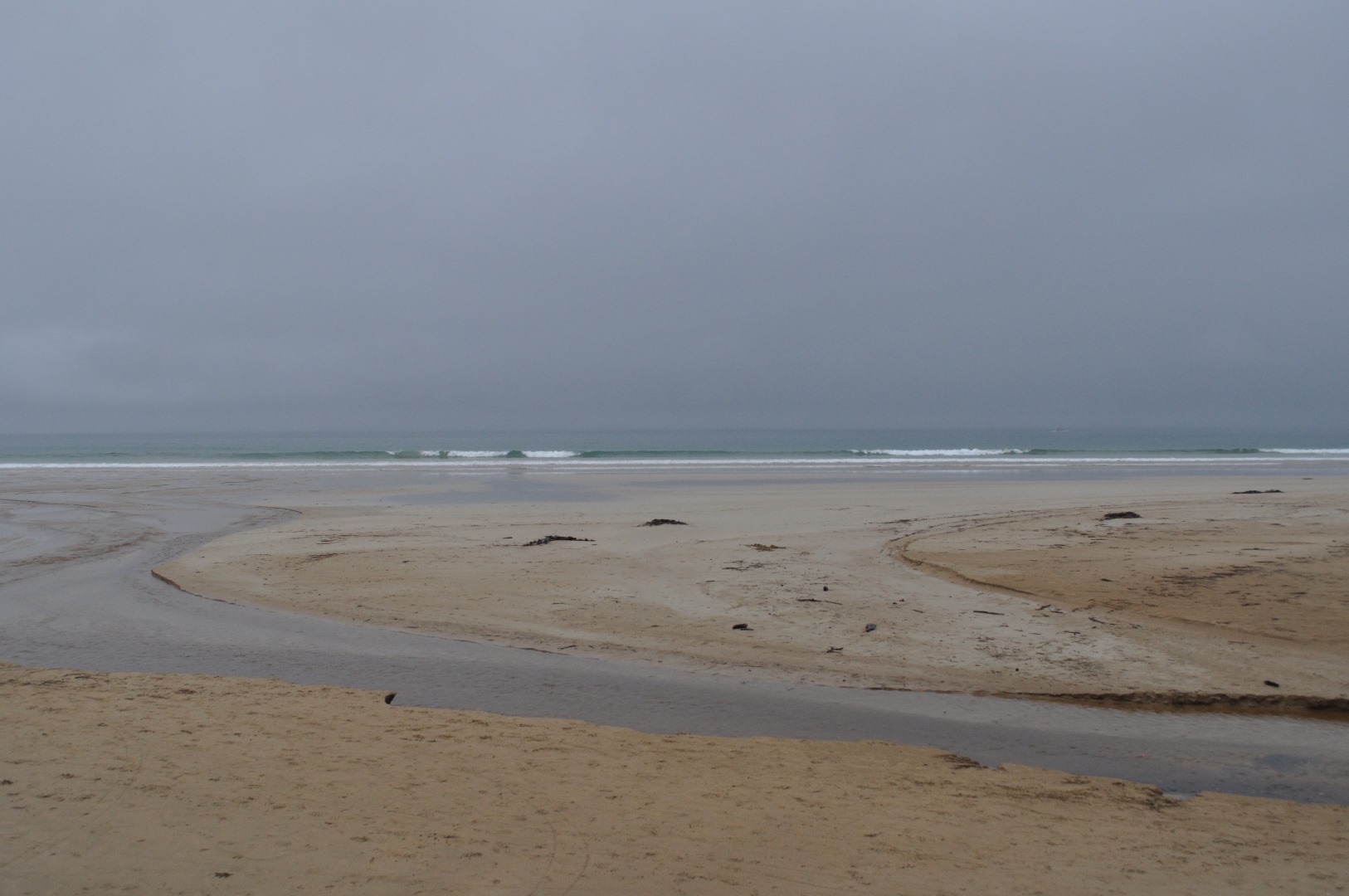
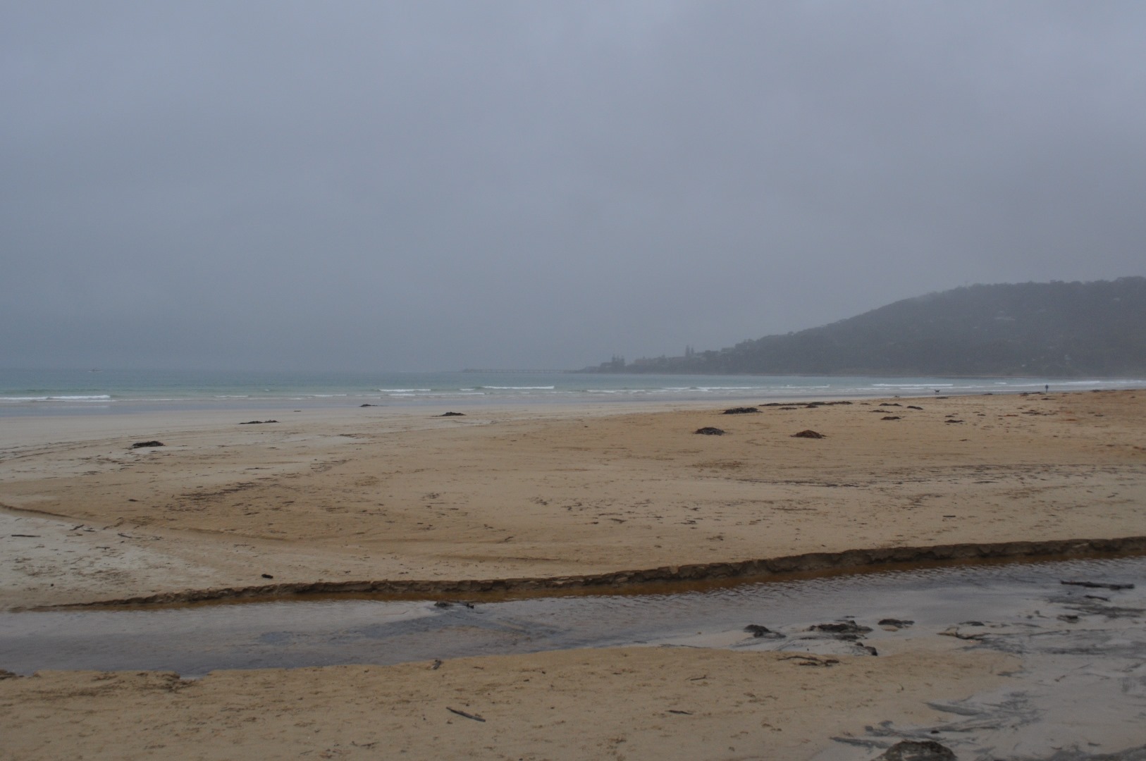
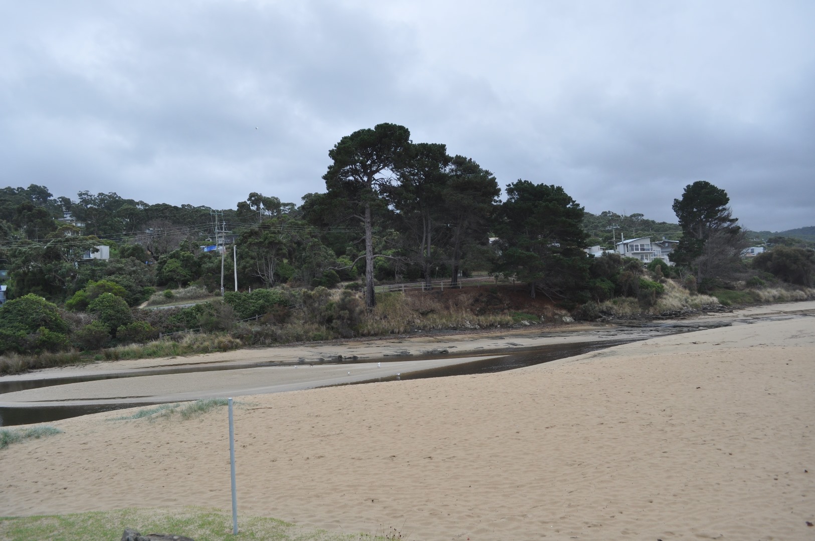
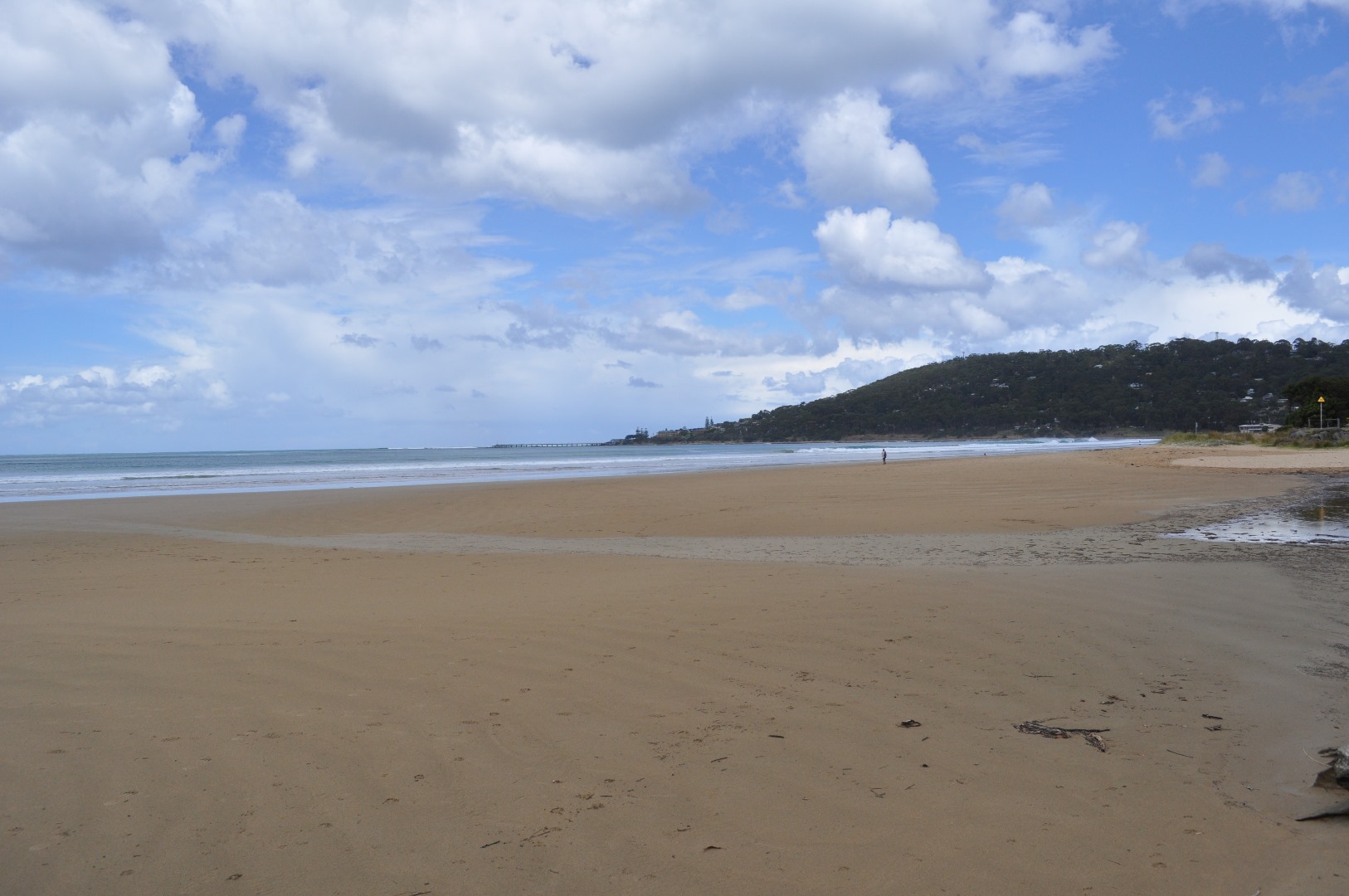
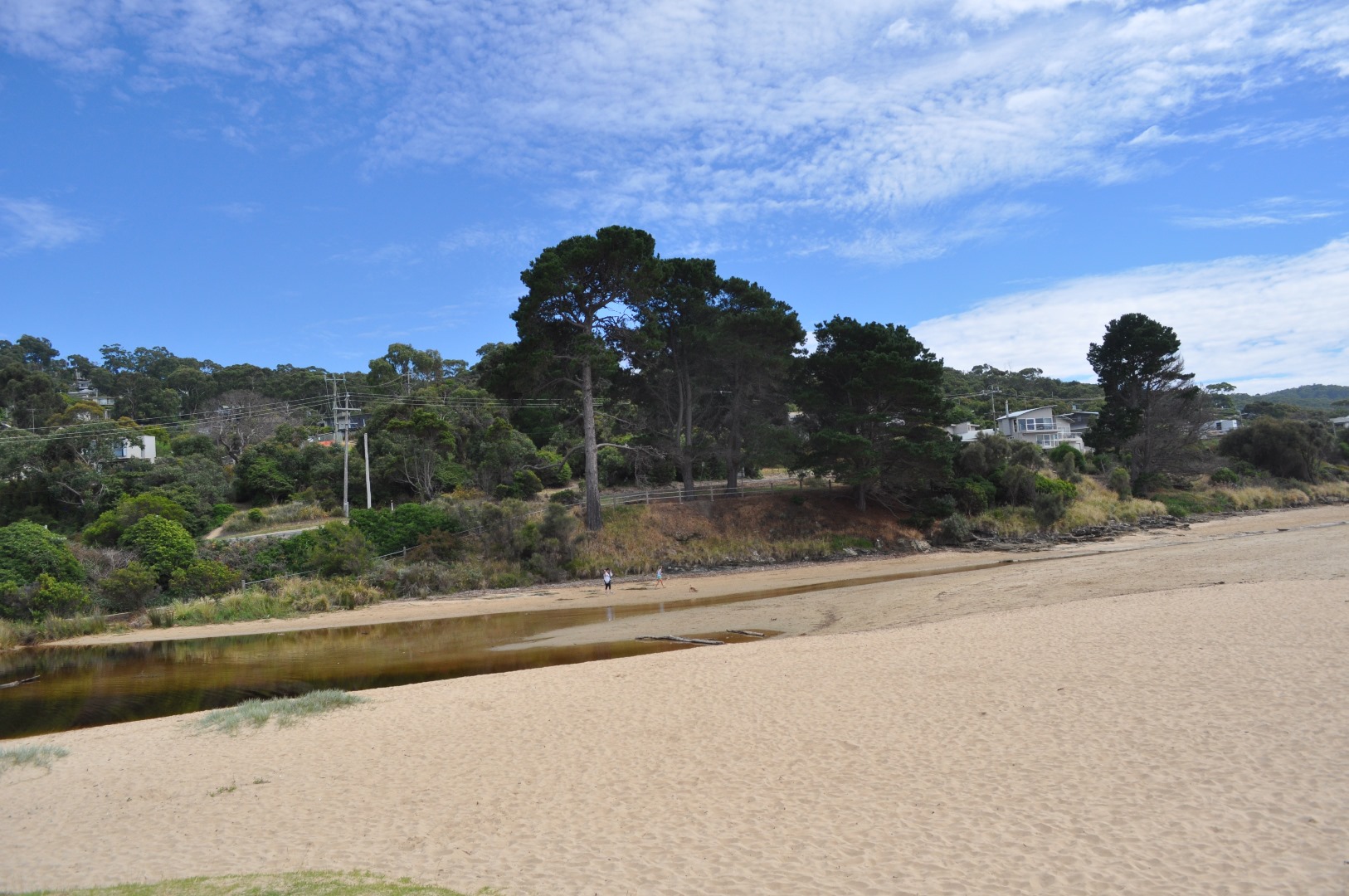
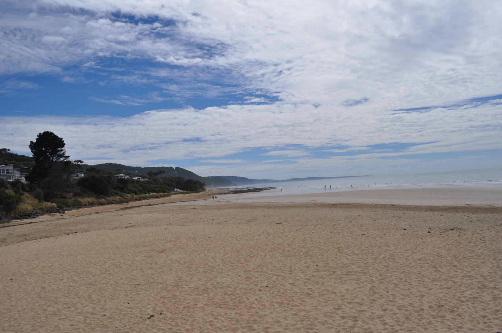
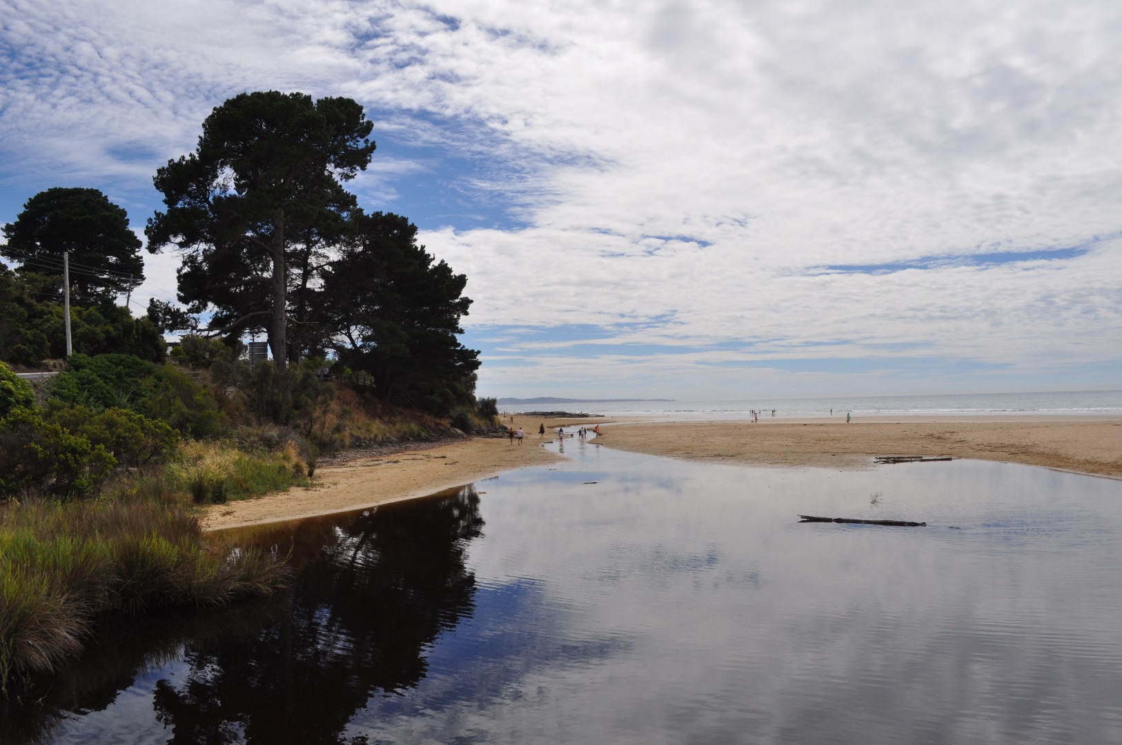
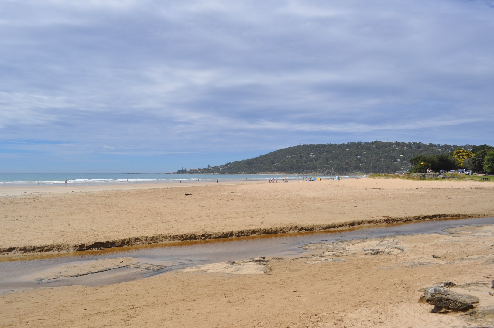
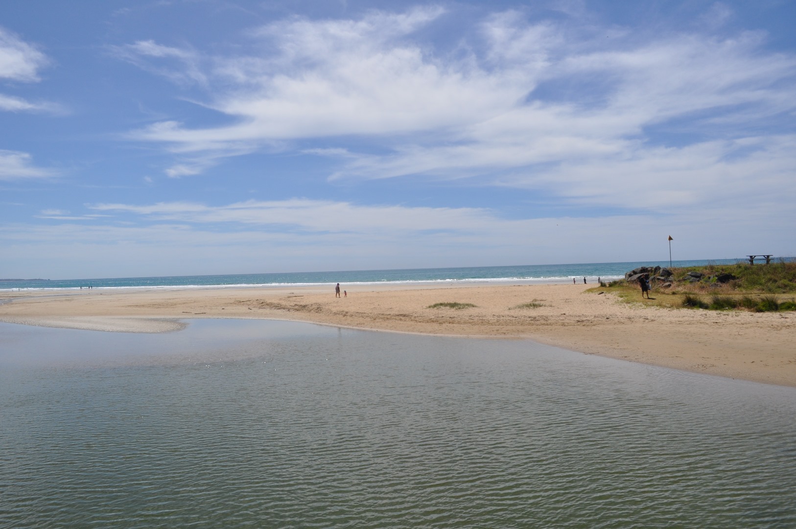
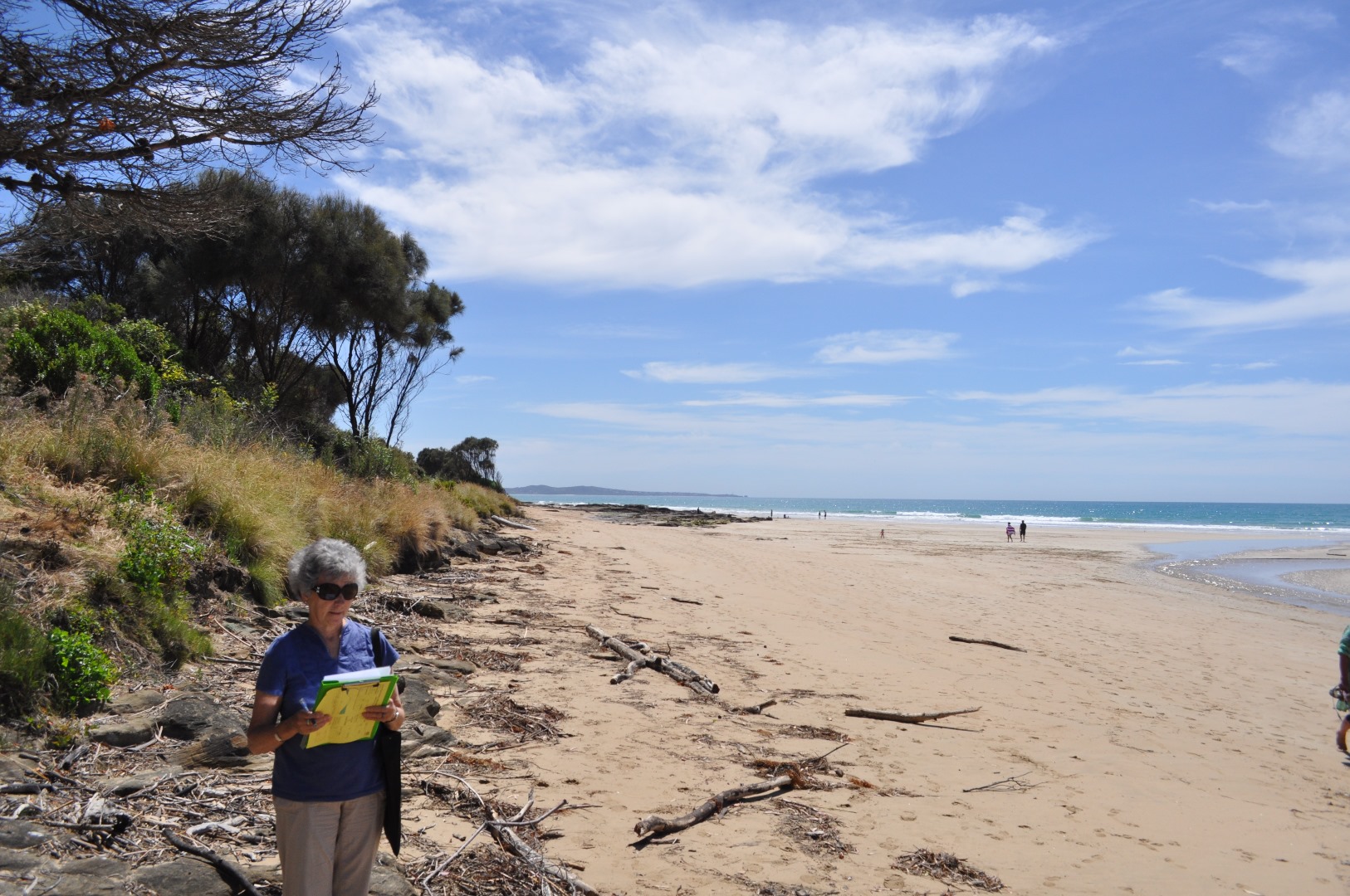
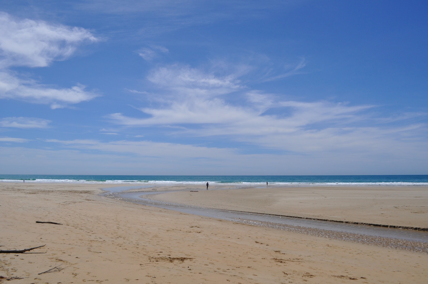
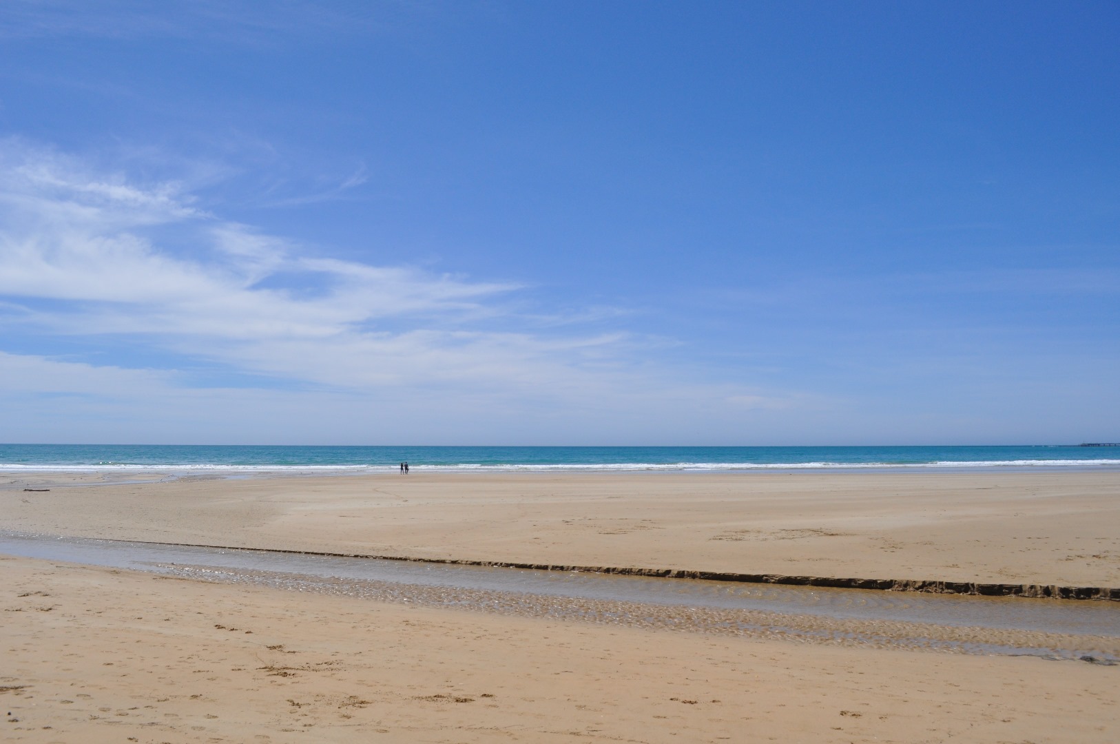
Active Mouth Condition 08-10-2007 - 23-02-2022Erskine River Estuary
| ID | Date | Status | Details | |
|---|---|---|---|---|
| #12379 | 23 Aug 2018 | Approved | ||
| #12245 | 26 Jun 2018 | Approved |
Notes:
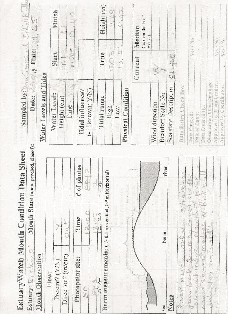
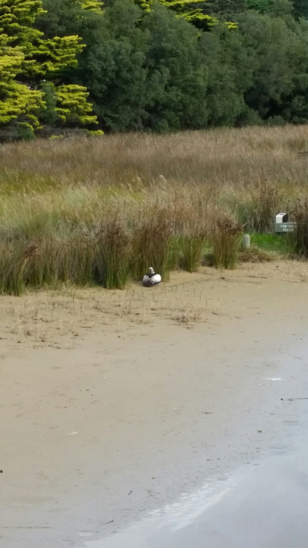
The water gauge under the bridge is still dirty (as it was last month). We could only estimate water height. Saw some water birds for the first time for months. 1 cormorant and 2 herons. |
|
| #12085 | 23 May 2018 | Approved | ||
| #12022 | 27 Apr 2018 | Approved |
Notes:
One heron resting in reeds - first time we have seen any wild life for some months. Omission on Data Sheet. Just noticed when I reviewed this scan that I had omitted to enter the number of photos taken at each sight. Apologies. However the number taken is as usual. Problem! First time I tried to upload data sheet .pdf file it was unsuccessful. So I tried a second time. However I now find there are 2 copies and I don't know how to delete one! |
|
| #11931 | 22 Mar 2018 | Approved |
Notes:
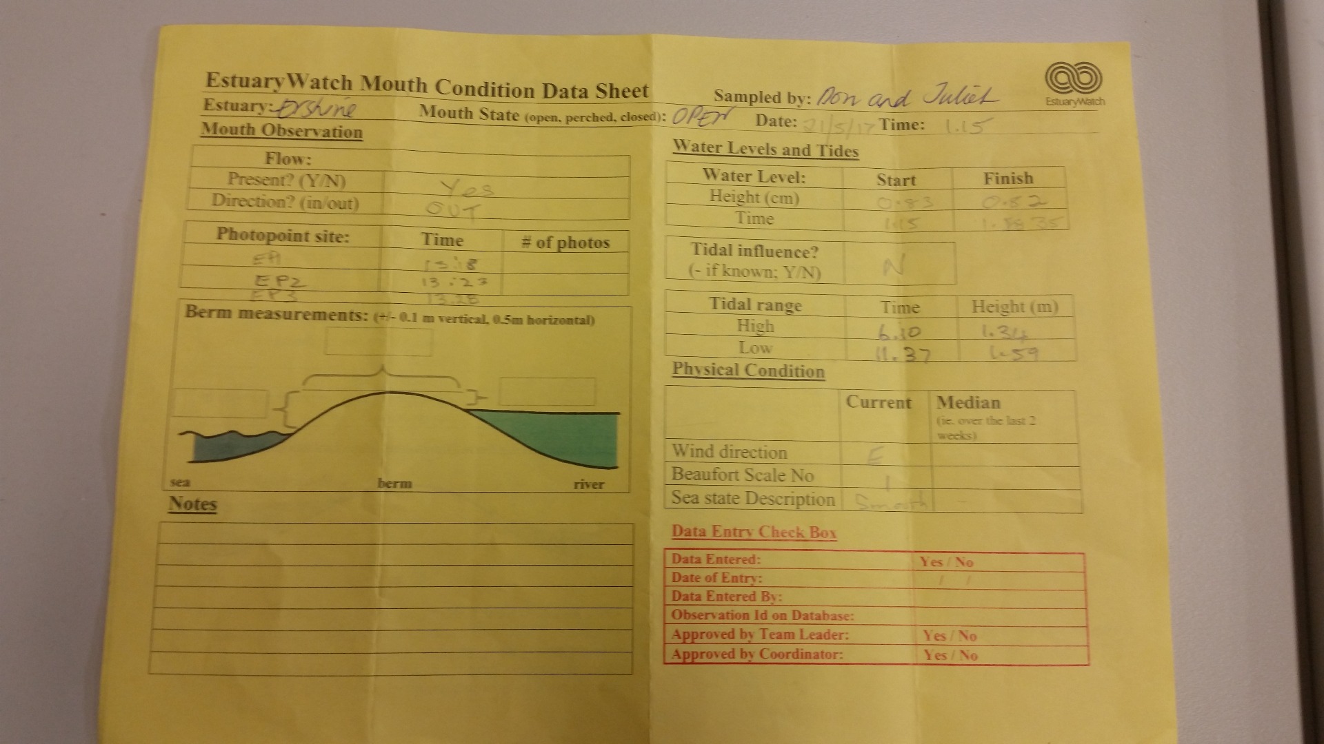
Please note there were very high winds and stormy conditions and yet the Beaufort scale table on the data sheet's B.No 1, only went up to 5 (Fresh Breeze) so when I came to enter the data into Estuary Watch and I noticed the Beaufort Scale allowed for more severe conditions I up graded the scale. So please be aware that scanned sheet will not truly reflect either B Scale or Sea State readings. Can I suggest that when the Data Sheet is updated next time both Table 1 and 2 be adjusted? At the same time Photopoint Site table needs to include at least another line as there are more than 2 sites on the Erskine River. Allow please note that I am still unsure whether I am entering the correct times for the High and Low Tides - perhaps we could talk about that when we next catch up? |
|
| #11847 | 23 Feb 2018 | Approved | ||
| #11774 | 25 Jan 2018 | Approved |
Notes:
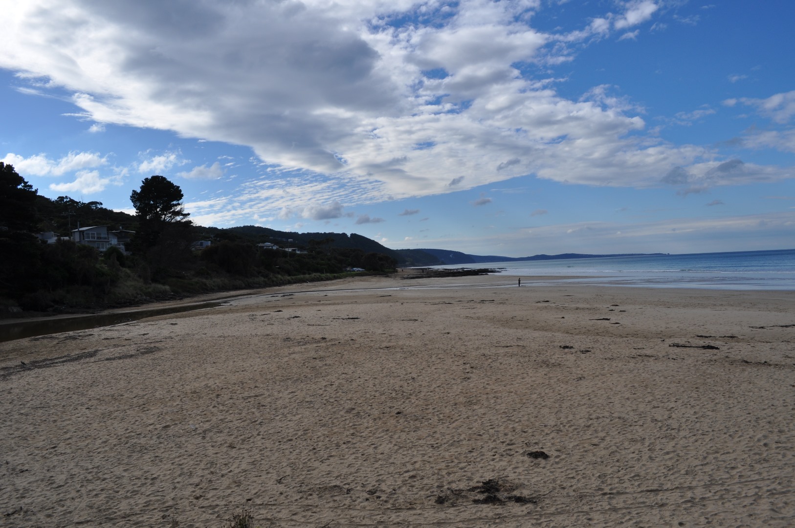
River flowing very slightly towards sea. Wind gusting a bit in fact by the time we got to EP4 it had really dropped all together. |
|
| #11693 | 21 Dec 2017 | Approved | ||
| #11640 | 22 Nov 2017 | Approved |
Notes:
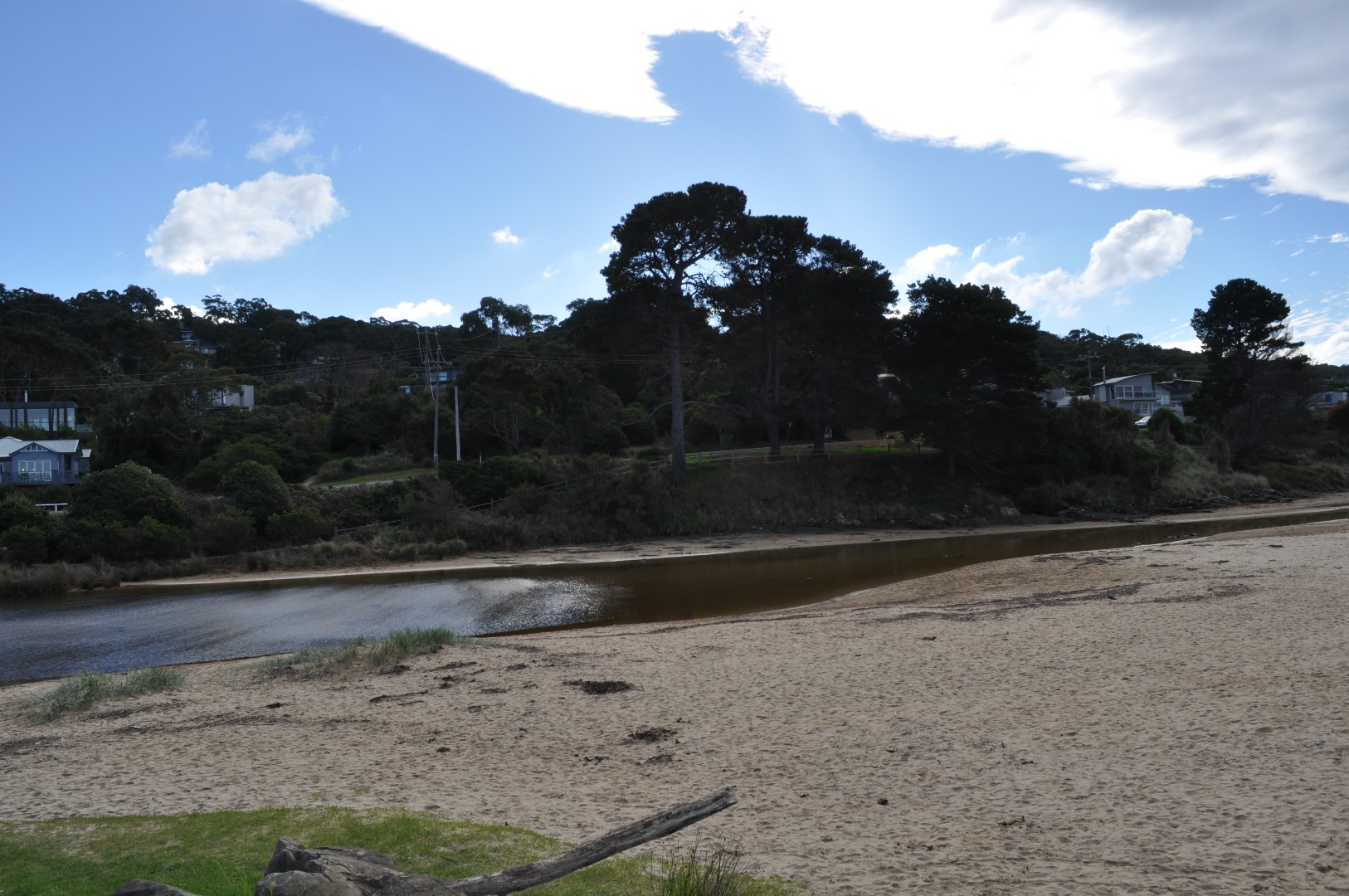
The gauge under the bridge is still very dirty. |
|
| #11557 | 19 Oct 2017 | Approved |
Notes:
Gauge under bridge is so dirty that water level reading is almost obscured, so this is an estimate only. Tree branches obstructing view of scale as well. |
|
| #11485 | 20 Sep 2017 | Approved |
Notes:
Water level measurer was partially obscured by branches. Levels could therefore be a few centimetres off. |
|
| #11414 | 21 Aug 2017 | Approved |
Notes:
I should have mentioned at our meeting that the form needs to have the Photopoint Site increased by one line to include space for EP4 photos. |
|
| #11364 | 22 Jul 2017 | Approved | ||
| #11320 | 20 Jun 2017 | Approved |
Notes:
Photos were recovered and have now been uploaded to June observations. |
|
| #11208 | 24 May 2017 | Approved |
Notes:
|
|
| #11253 | 21 May 2017 | Approved | ||
| #11118 | 23 Apr 2017 | Approved | ||
| #10996 | 22 Mar 2017 | Approved |
Notes:
1. The depth guage on the bridge was so dirty that we had difficulty in getting accurate measurements. 2. Don has asked me to pass on to you that he has noticed that when he takes a compass measurement on the swing bridge with the compass directly over the iron railing there is a difference of 20 degrees to when he steps back a couple of paces. |
|
| #10839 | 19 Feb 2017 | Approved | ||
| #10766 | 23 Jan 2017 | Approved | ||
| #10639 | 19 Dec 2016 | Approved |
Notes:
The large tree on the seaward side of the Erskine River bridge lying over the river where it had been dumped after it was felled, is likely to dam up the river after a downfall and cause flooding to the camp site. I would suggest GORC be asked to cut it up if not remove it all together. |
|
| #10620 | 25 Nov 2016 | Approved |
Notes:
Once again the wind was swirling so when we reached Observation P4 it was coming from the SW 4. |
|
| #10470 | 17 Oct 2016 | Approved |
Notes:
1. Saw 3 cormorants swimming out to sea 2. Watched tide turning at site EP4 - very pretty with clear blue water penetrating the muddy river water in a distinct arch. 3. Wind direction was constantly changes. |
|
| #10466 | 10 Oct 2016 | Approved |
Notes:
Included additional photo to show mud plume and sediment on storm water drain from Great Ocean Road on estuary side of bridge. |
|
| #10469 | 23 Sep 2016 | Approved |
Notes:
Wind was swirling in all directions during the course of the time it took to complete the exercise. |
|


All content, files, data and images provided by the EstuaryWatch Data Portal and Gallery are subject to a Creative Commons Attribution License
Content is made available to be used in any way, and should always attribute EstuaryWatch and www.estuarywatch.org.au