Observation details

Overview

Estuary Erskine River Estuary
Site Erskine River Estuary Mouth Observation Site
Observation ID #14214
Date and Time Thursday 15th July 2021 11:45am
Approved Approved

Notes

Water level under bridge unable to be measured as the markings were covered in mud for any measurement >1m.   This has been reported to GORCPA

Mouth Observation

Mouth state Open
Previous O
Flow Present? Yes
Previous Y
Flow Direction In
Previous I
Above Sea Above Estuary
Berm Height (m)
Berm Length (m)

Physical Condition

Current Mode
Wind Direction South-West
Beaufort Scale Light Air
Sea State Smooth

Water Levels and Tides

Water Level Start Finish
Height (m) 0.00m 0.00m
Time (hh:mm) 11:45 12:20
Tidal influence No
Tidal Range Time Height
High 15:30 2.540
Low 21:19 1.000

Observation Documents

Link Date File name Description

Download
15-07-2021 11:55 EP1_20210615_1_351.JPG ep1_1

Download
15-07-2021 11:55 EP1_20210615_2_31.JPG ep1_2

Download
15-07-2021 11:55 EP2_20210615_1_61.JPG ep2_1

Download
15-07-2021 11:55 EP2_20210615_2_101.JPG ep2_2

Download
15-07-2021 11:55 EP4_20210615_1_41.JPG ep4_1

Download
15-07-2021 11:55 EP4_20210615_2_81.JPG ep4_2

Download
15-07-2021 11:55 EP4_20210615_3_121.JPG ep4_3

Download
15-07-2021 11:55 EP4_20210615_4_161.JPG ep4_4
Download 15-07-2021 11:55 Erskine_Estuary_20210615.pdf
ep1_1
ep1_2
ep2_1
ep2_2
ep4_1
ep4_2
ep4_3
ep4_4
Creative Commons CC BY
All content, files, data and images provided by the 
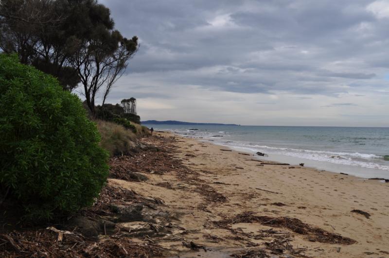
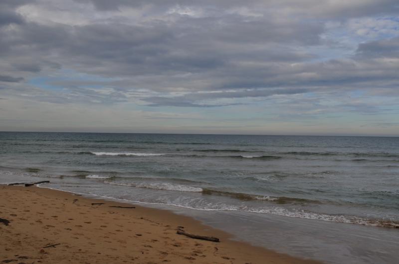
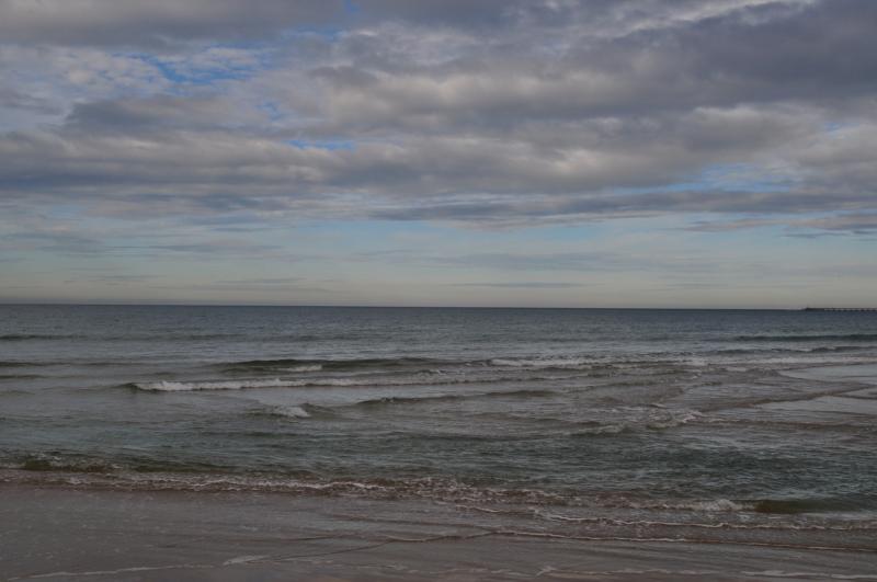
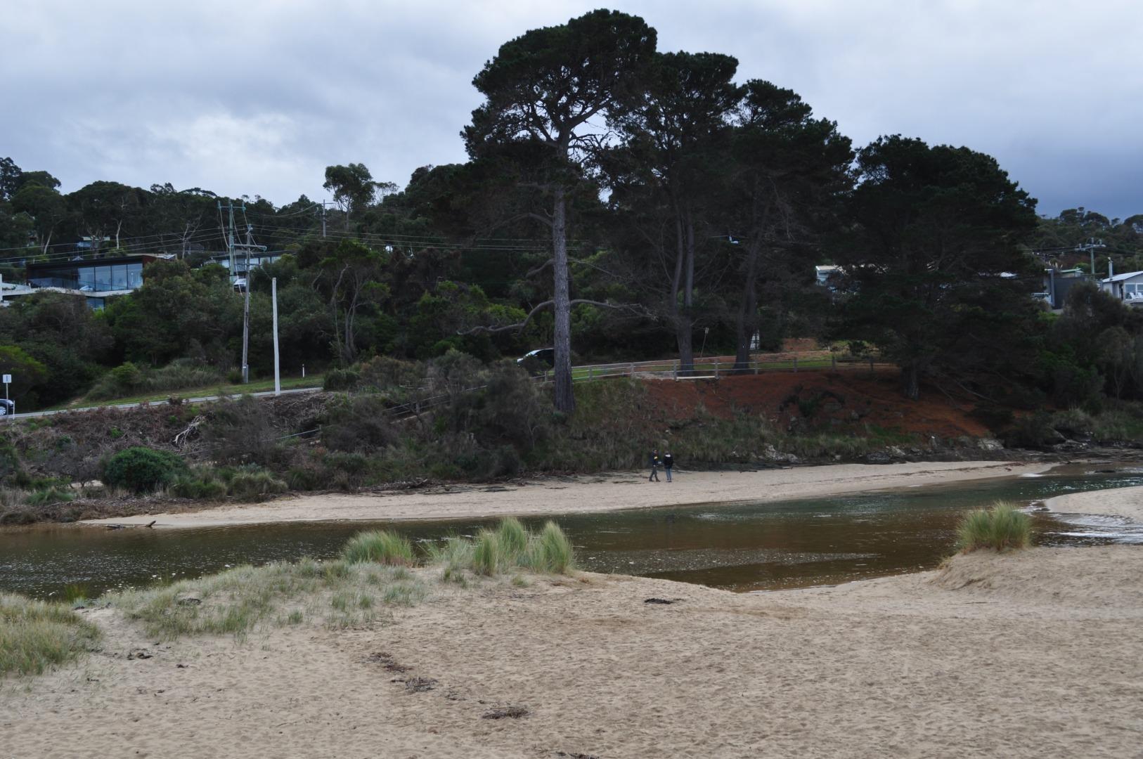
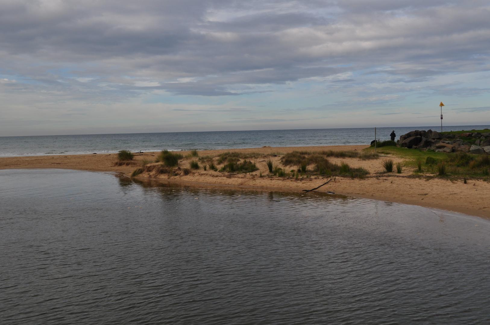
EstuaryWatch Data Portal
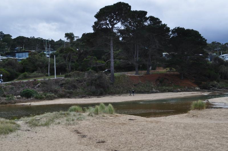
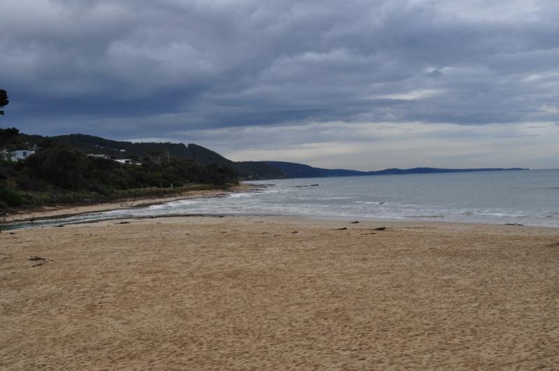
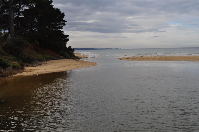
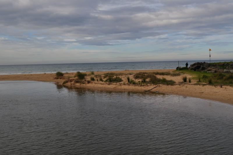
 and Gallery are subject to a Creative Commons Attribution License

Content is made available to be used in any way, and should always attribute EstuaryWatch and www.estuarywatch.org.au