EstuaryWatch Data Portal
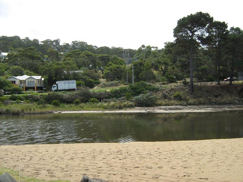
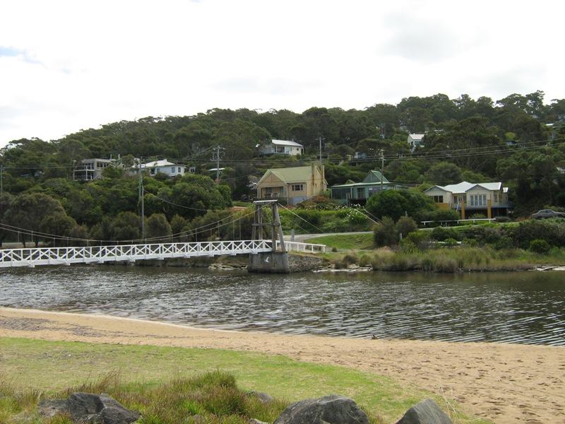
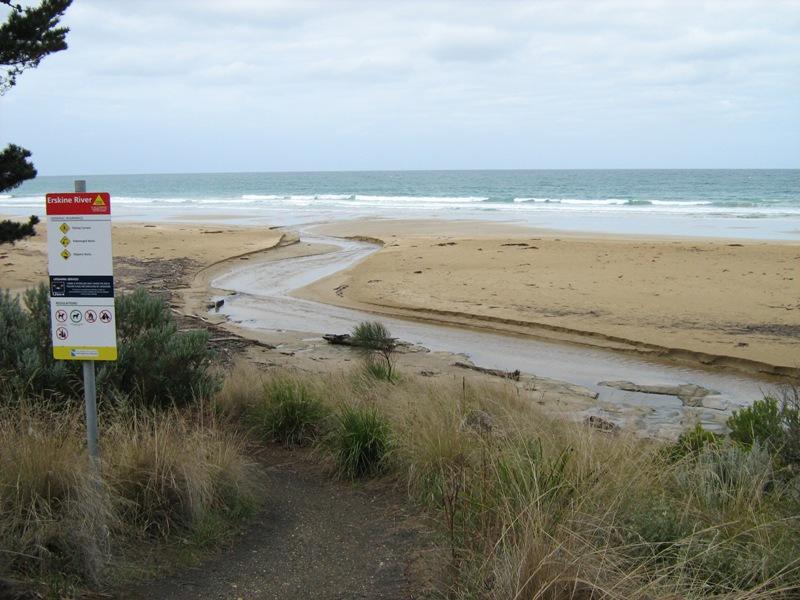
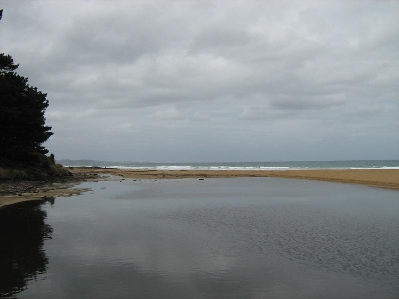
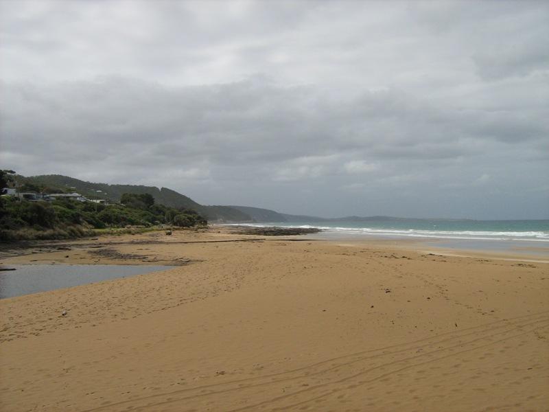
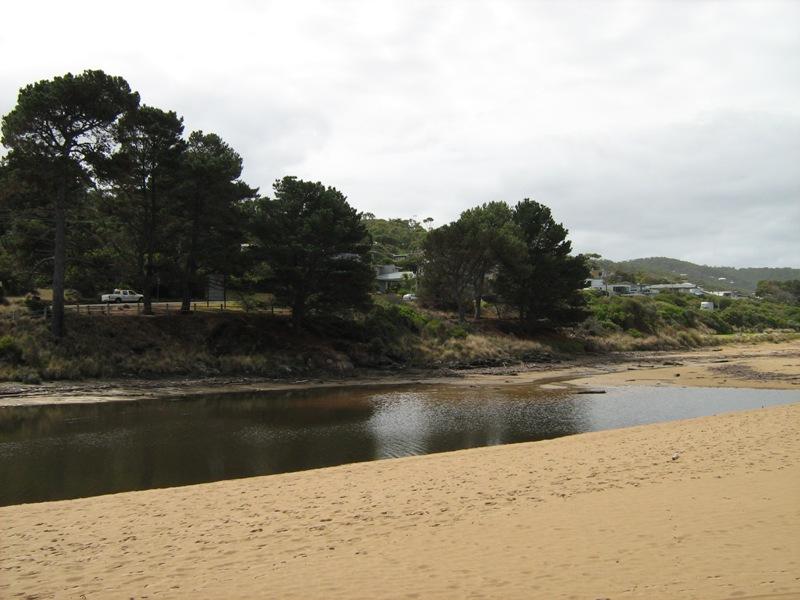
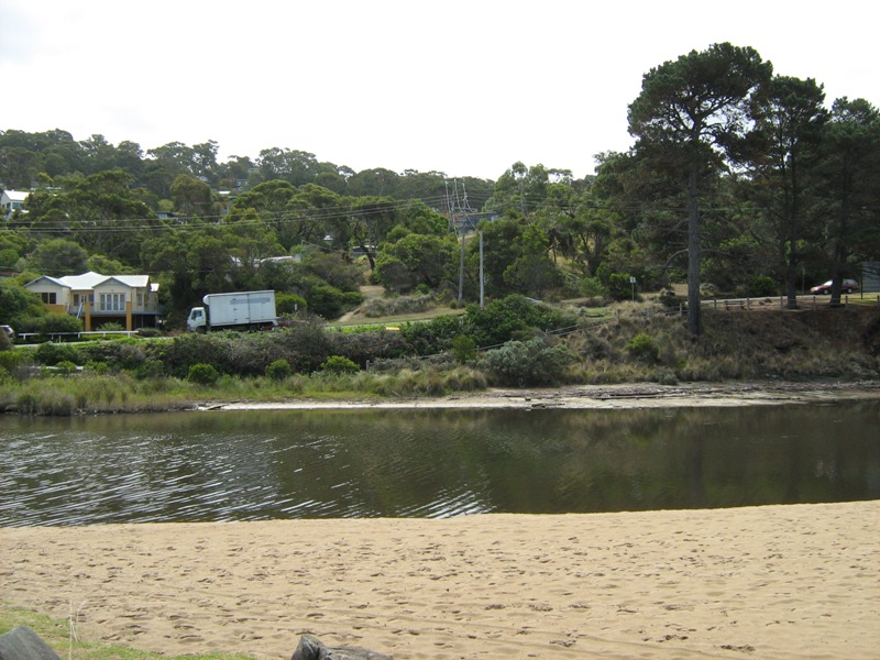
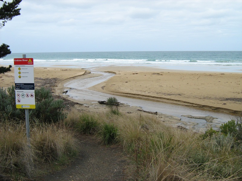
EMC Erskine River Estuary Mouth Observation Site
20 February 2008
Observation details
Overview
| Estuary | Erskine River Estuary |
|---|---|
| Site | Erskine River Estuary Mouth Observation Site |
| Observation ID | #4362 |
| Date and Time | Wednesday 20th February 2008 15:25pm |
| Approved | Approved |
Notes
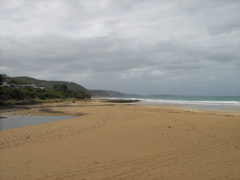
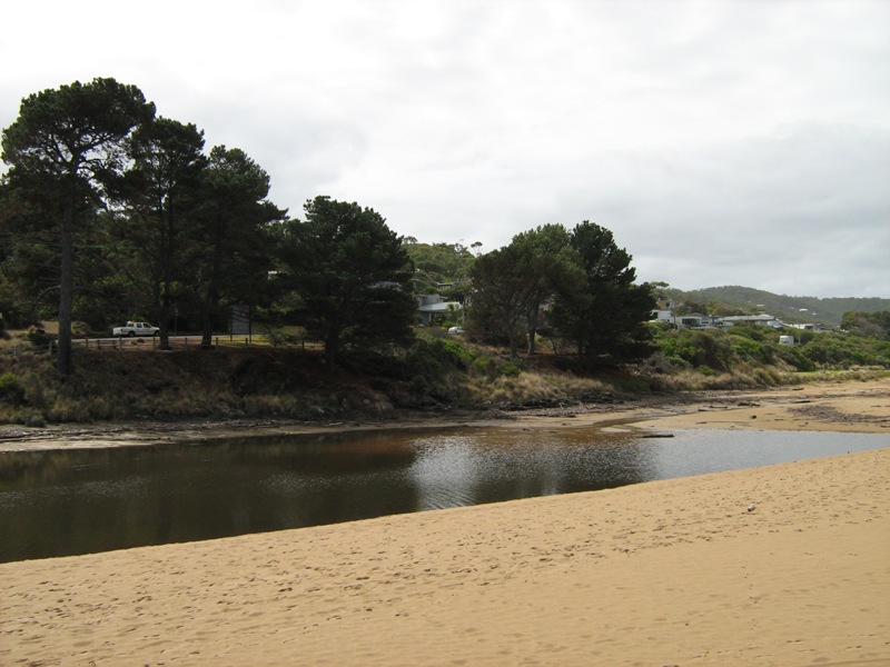
EP1 photos, 3:35pm x4
EP2 photos, 3:30pm x1
17mm rain in 24 hrs to 2:30pm today in my gauge
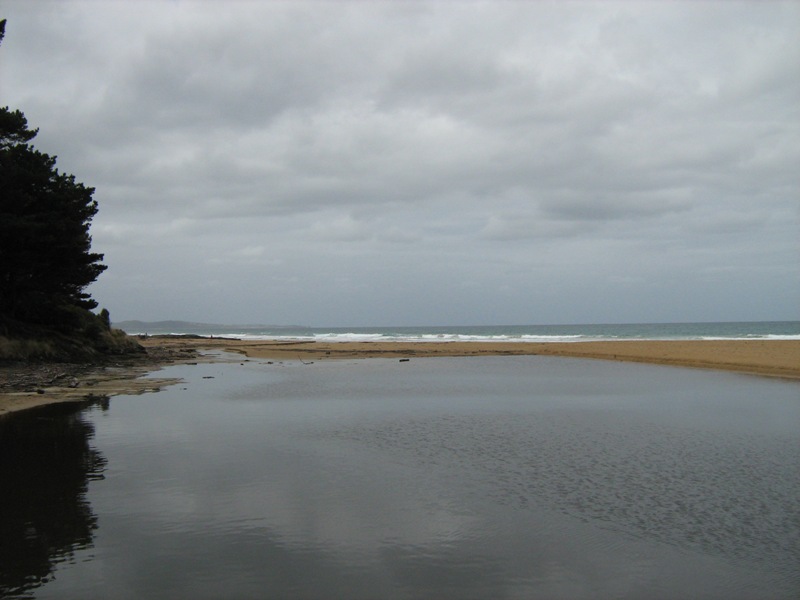
Berm to top height undercut 90cm by opening. Berm lower undercut to water 55cm flowing out.
Water level was measured under 1st fishing position from bridge, before water level gauges installed.
Pre-gauge water heights rejected


All content, files, data and images provided by the EstuaryWatch Data Portal and Gallery are subject to a Creative Commons Attribution License
Content is made available to be used in any way, and should always attribute EstuaryWatch and www.estuarywatch.org.au