EstuaryWatch Data Portal
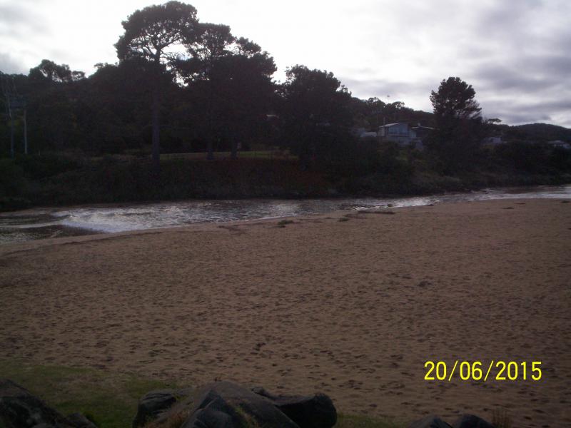
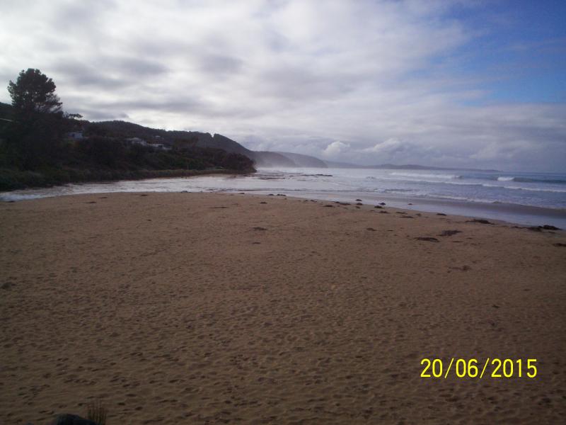
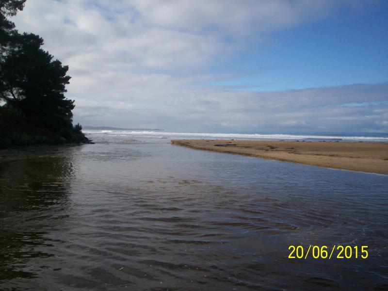
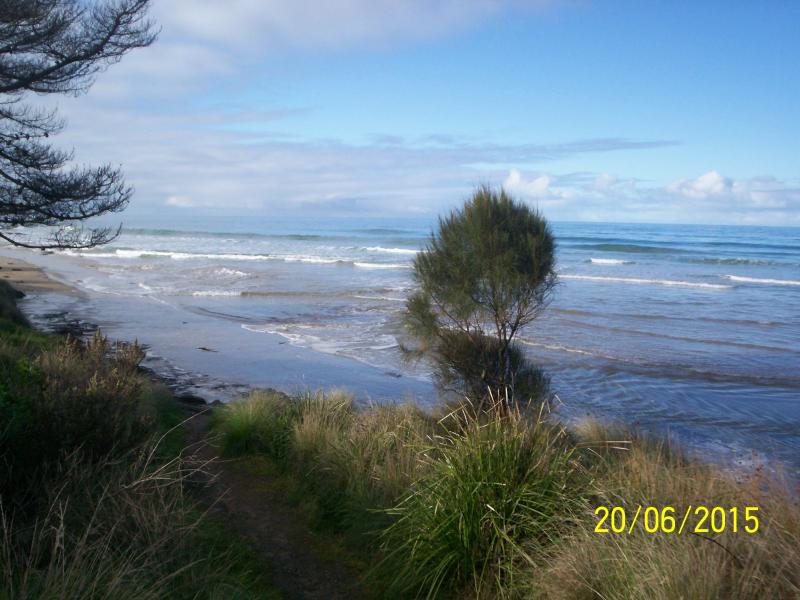
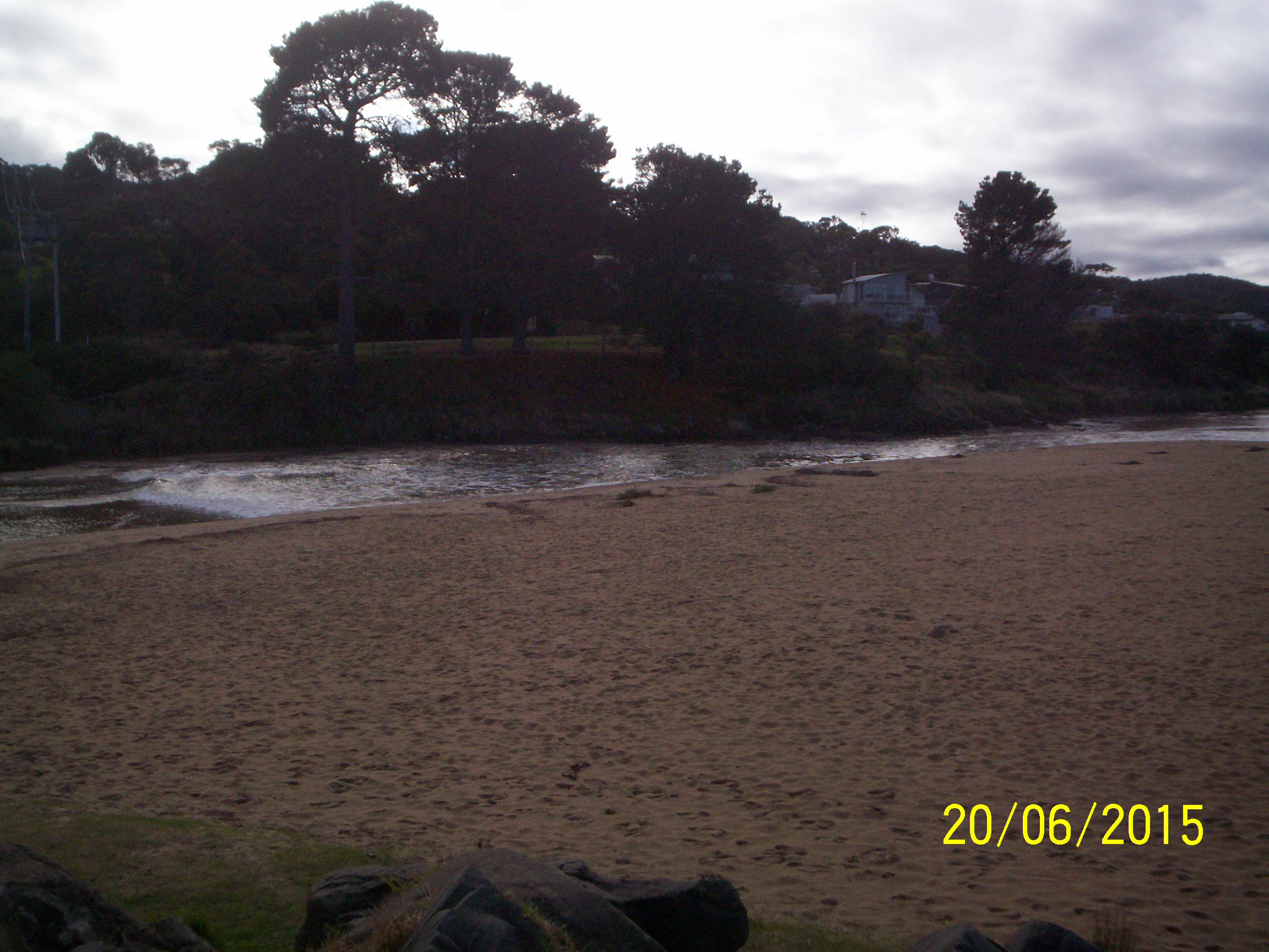
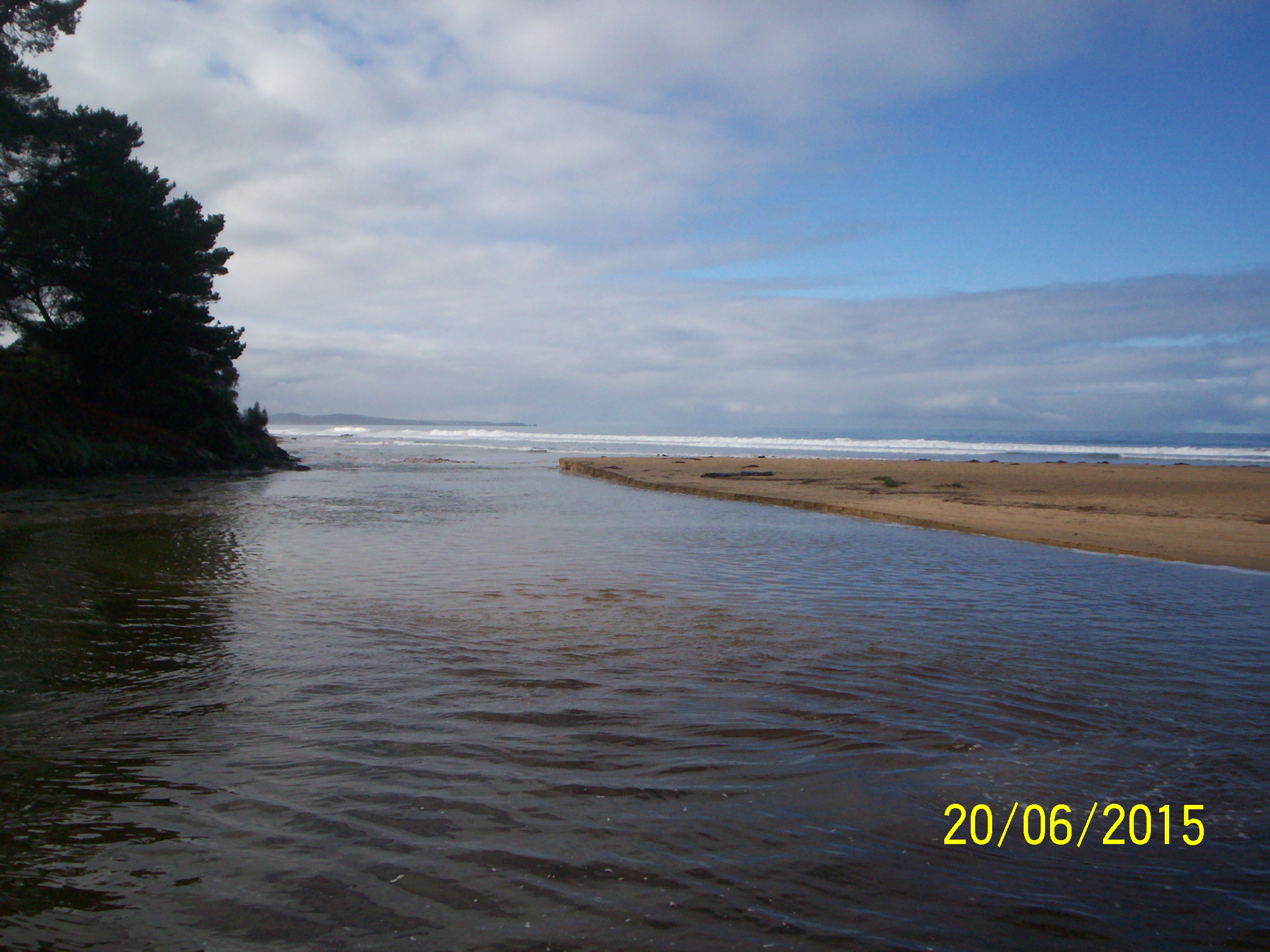
EMC Erskine River Estuary Mouth Observation Site
20 June 2015
Observation details
Overview
| Estuary | Erskine River Estuary |
|---|---|
| Site | Erskine River Estuary Mouth Observation Site |
| Observation ID | #9684 |
| Date and Time | Saturday 20th June 2015 14:40pm |
| Approved | Approved |
Notes
Re Mouth Observation: Flow Direction was recorded as "Both in and out".
South side sand undercut by 73cm.
Depth gauge too muddy to read at low levels; it was at about 0.50m at 13.25.
EP4 photos not taken because incoming tide was hitting rocks in front of EP4 and splashing up.
Could find only three photos for this date on Ulric's memory card - one for each of Ep1, Ep2 and Ep3.
Mouth Observation
| Mouth state | Open |
|---|---|
| Previous | O O O O O O O O O O O O |
| Flow Present? | Yes |
| Previous | Y Y Y Y Y Y Y Y Y Y Y Y |
| Flow Direction | In |
| Previous | O O O O O O O O O O I O |
| Above Sea | Above Estuary | |
|---|---|---|
| Berm Height (m) | ||
| Berm Length (m) |
Physical Condition
| Current | Mode | |
|---|---|---|
| Wind Direction | North-East | |
| Beaufort Scale | Light Air | |
| Sea State | Slight |


All content, files, data and images provided by the EstuaryWatch Data Portal and Gallery are subject to a Creative Commons Attribution License
Content is made available to be used in any way, and should always attribute EstuaryWatch and www.estuarywatch.org.au