EstuaryWatch Data Portal
Observation details
Overview
| Estuary | Wreck Creek |
|---|---|
| Site | Wreck Creek Mouth Condition Site |
| Observation ID | #11061 |
| Date and Time | Thursday 6th April 2017 15:45pm |
| Approved | Approved |
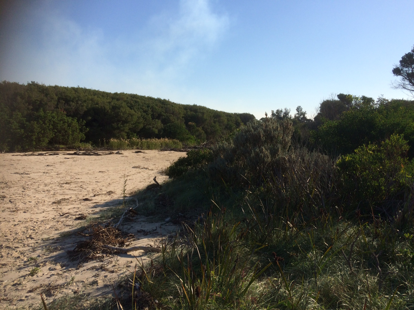
Notes
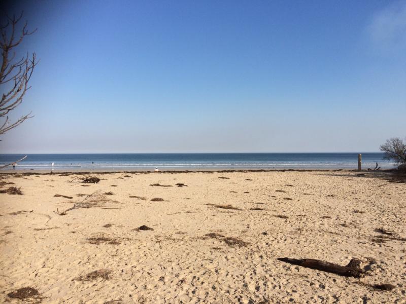
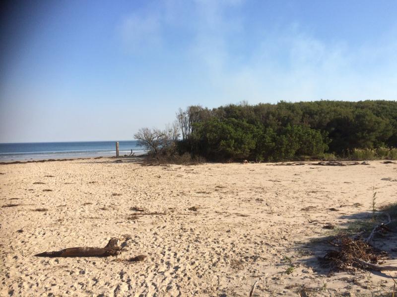
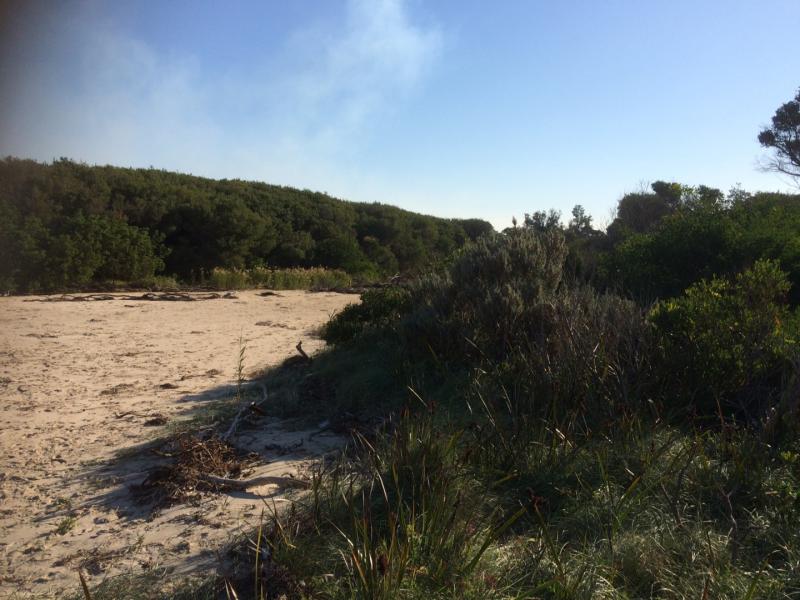
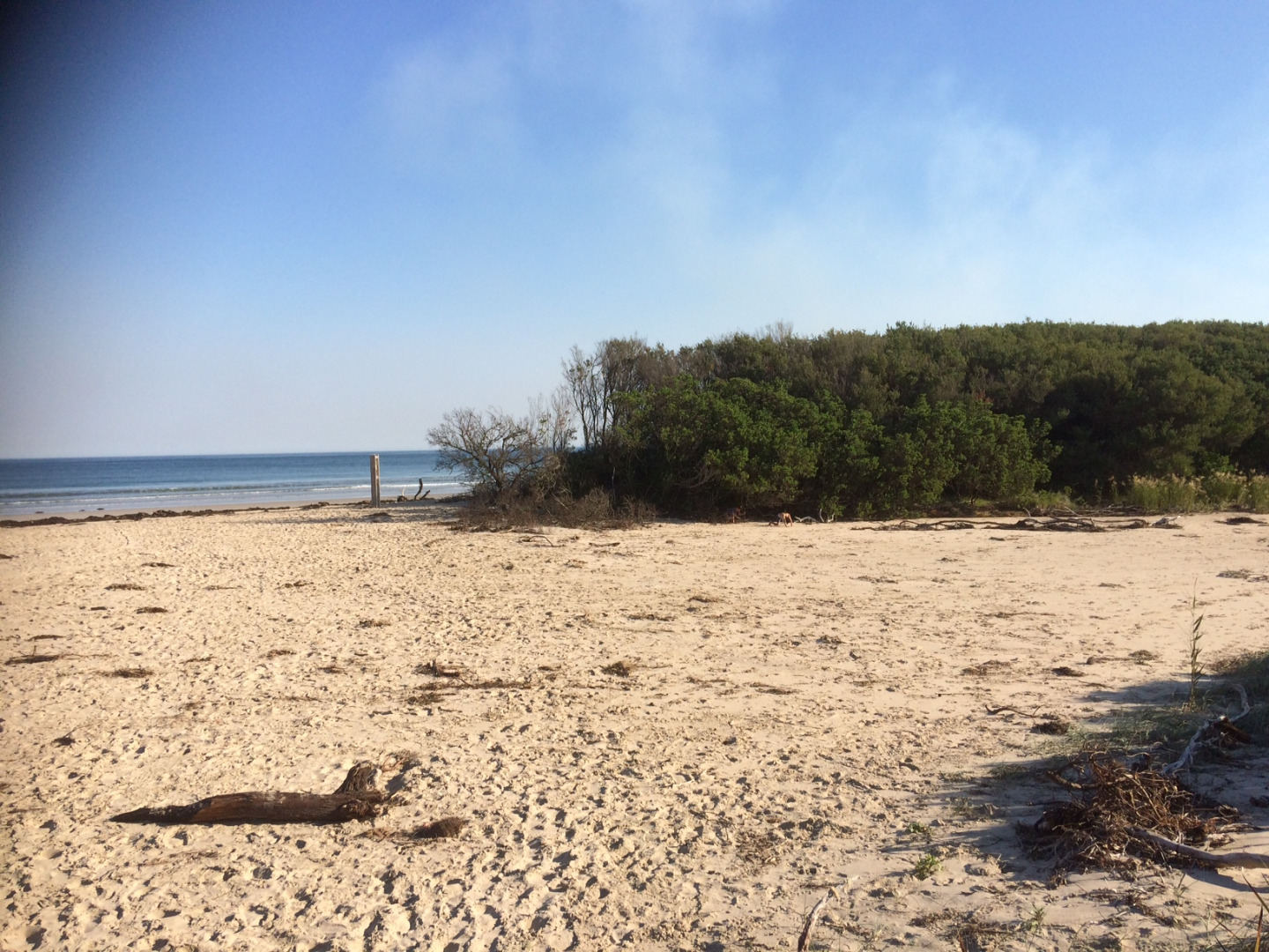
Berm height above estuary can not be determined as a clear line of sight with the horizon can not be obtained at the edge of estuarine water (trees in way).
The sand berm height was measured in Feb 2017, with the height of the point in the estuary waters flow path being 2.10m AHD. This height is likely to have changed since Feb, though it would be safe to say that the berm is 50cm above the estuary water level at present.


All content, files, data and images provided by the EstuaryWatch Data Portal and Gallery are subject to a Creative Commons Attribution License
Content is made available to be used in any way, and should always attribute EstuaryWatch and www.estuarywatch.org.au