EstuaryWatch Data Portal
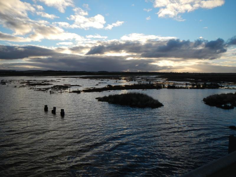
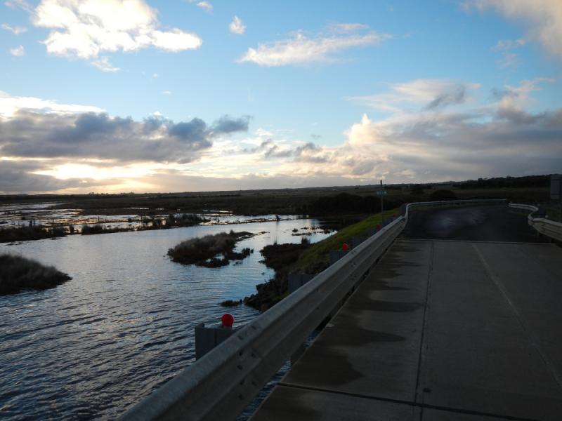
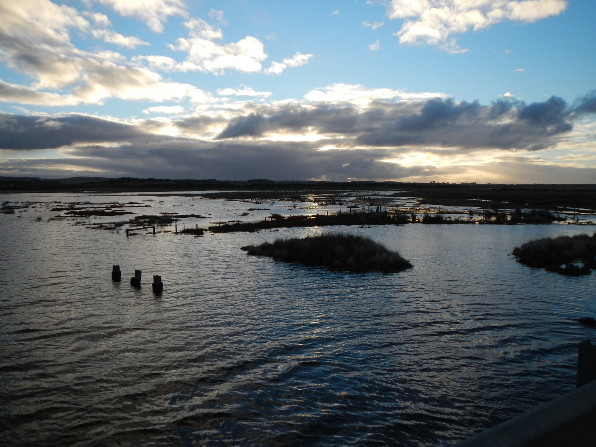
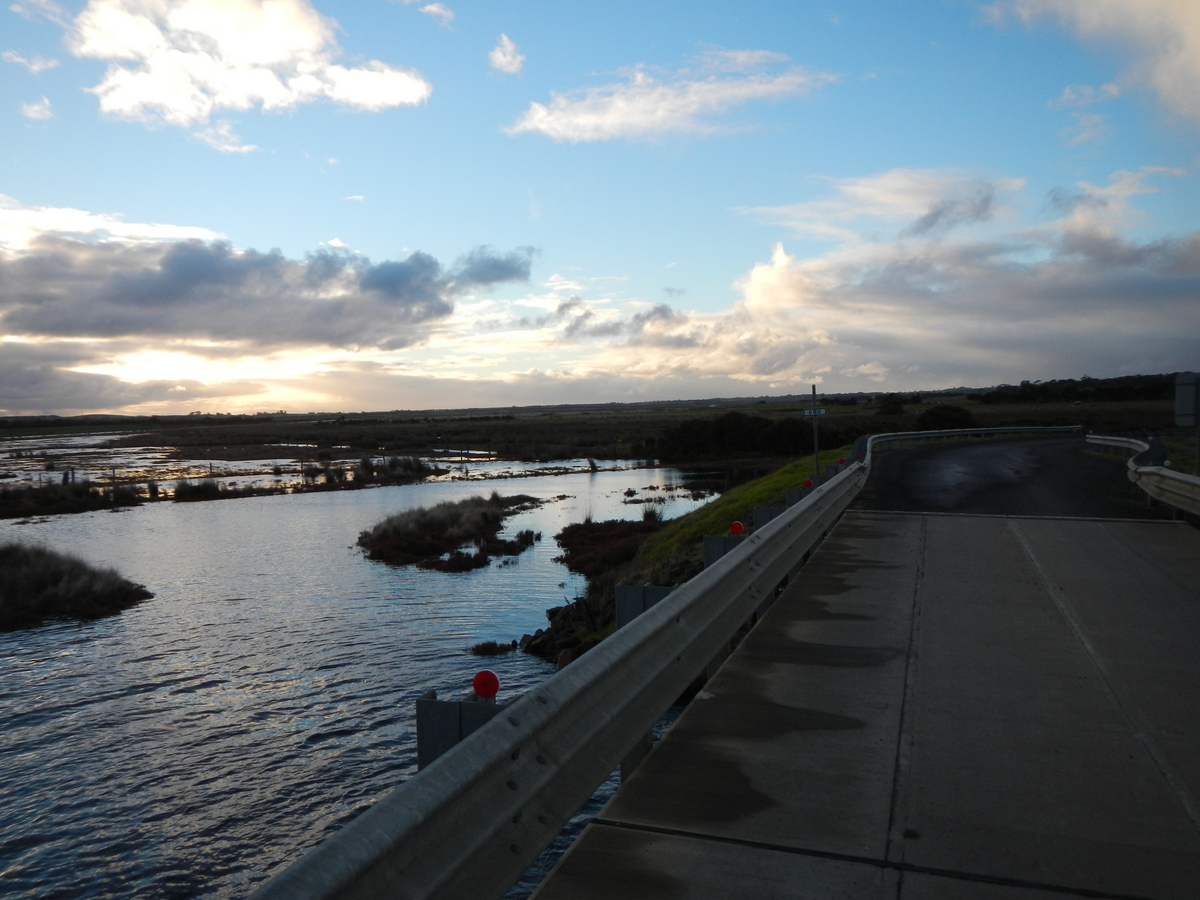
Po2 Site two (Mouth of Powlett Road Bridge)
18 May 2013
Observation details
Overview
| Estuary | Powlett River Estuary |
|---|---|
| Site | Site two (Mouth of Powlett Road Bridge) |
| Observation ID | #5138 |
| Date and Time | Saturday 18th May 2013 07:30am |
| Approved | Approved |
Depth Profiling
| Depth m | Temperature °C | Salinity ppt | D.O. mg/L | D.O. % sat | EC mS/cm | Notes | |
|---|---|---|---|---|---|---|---|
| 0.1m | 11.80 | 30.60 | 7.65 | 87.0 | 47.20 | ||
| Previous | 12.1 | 30.7 | 6.9 | 78.0 | 47.3 | ||
| Median | 13.6 | 30.70 | 6.92 | 79.00 | 47.3 | ||
| 0.5m | 11.70 | 30.60 | 7.70 | 86.0 | 47.23 | ||
| Previous | 13.2 | 32.1 | 6.1 | 71.0 | 49.2 | ||
| Median | 13.6 | 30.50 | 6.70 | 79.00 | 47.0 | ||
| 1.0m | 11.70 | 30.60 | 7.55 | 84.0 | 47.25 | ||
| Previous | 12.1 | 30.8 | 6.8 | 77.0 | 47.4 | ||
| Median | 14.2 | 32.60 | 6.99 | 78.10 | 49.8 | ||
| 1.5m | 11.70 | 30.70 | 7.52 | 84.0 | 47.25 | ||
| Previous | 13.2 | 32.2 | 6.0 | 70.0 | 49.2 | ||
| Median | 14.2 | 32.60 | 6.99 | 78.10 | 49.8 | ||
| 2.0m | 11.70 | 30.60 | 7.41 | 83.0 | 47.26 | ||
| Previous | 12.0 | 30.8 | 6.7 | 75.0 | 47.5 | ||
| Median | 13.9 | 33.00 | 6.90 | 78.30 | 50.4 | ||
| 2.5m | 11.70 | 30.70 | 7.45 | 83.5 | 47.25 | ||
| Previous | 13.2 | 32.3 | 6.0 | 68.4 | 49.4 | ||
| Median | 13.9 | 33.00 | 6.90 | 78.30 | 50.4 | ||
| 3.0m | 11.70 | 30.70 | 7.44 | 83.0 | 47.27 | ||
| Previous | 12.0 | 30.9 | 6.6 | 74.3 | 47.5 | ||
| Median | 14.3 | 33.10 | 6.57 | 78.00 | 50.6 | ||
| 3.5m | 11.70 | 30.70 | 7.40 | 83.3 | 47.28 | ||
| Previous | 14.3 | 33.1 | 2.9 | 34.0 | 50.5 | ||
| Median | 14.3 | 33.10 | 6.05 | 78.00 | 50.6 | ||
| 4.0m | 11.70 | 30.70 | 7.27 | 81.0 | 47.72 | ||
| Previous | 12.5 | 31.8 | 5.0 | 54.0 | 48.8 | ||
| Median | 14.0 | 33.50 | 5.96 | 75.00 | 51.0 | ||
| 4.5m | 12.70 | 31.70 | 5.50 | 63.3 | 48.59 | ||
| Previous | 14.0 | 33.2 | 2.3 | 27.3 | 50.6 | ||
| Median | 15.7 | 33.80 | 6.01 | 76.90 | 51.6 |

All content, files, data and images provided by the EstuaryWatch Data Portal and Gallery are subject to a Creative Commons Attribution License
Content is made available to be used in any way, and should always attribute EstuaryWatch and www.estuarywatch.org.au