EstuaryWatch Data Portal
Overview
| Estuary name | Bourne Creek |
|---|---|
| CMA | West Gippsland CMA |
| Description |
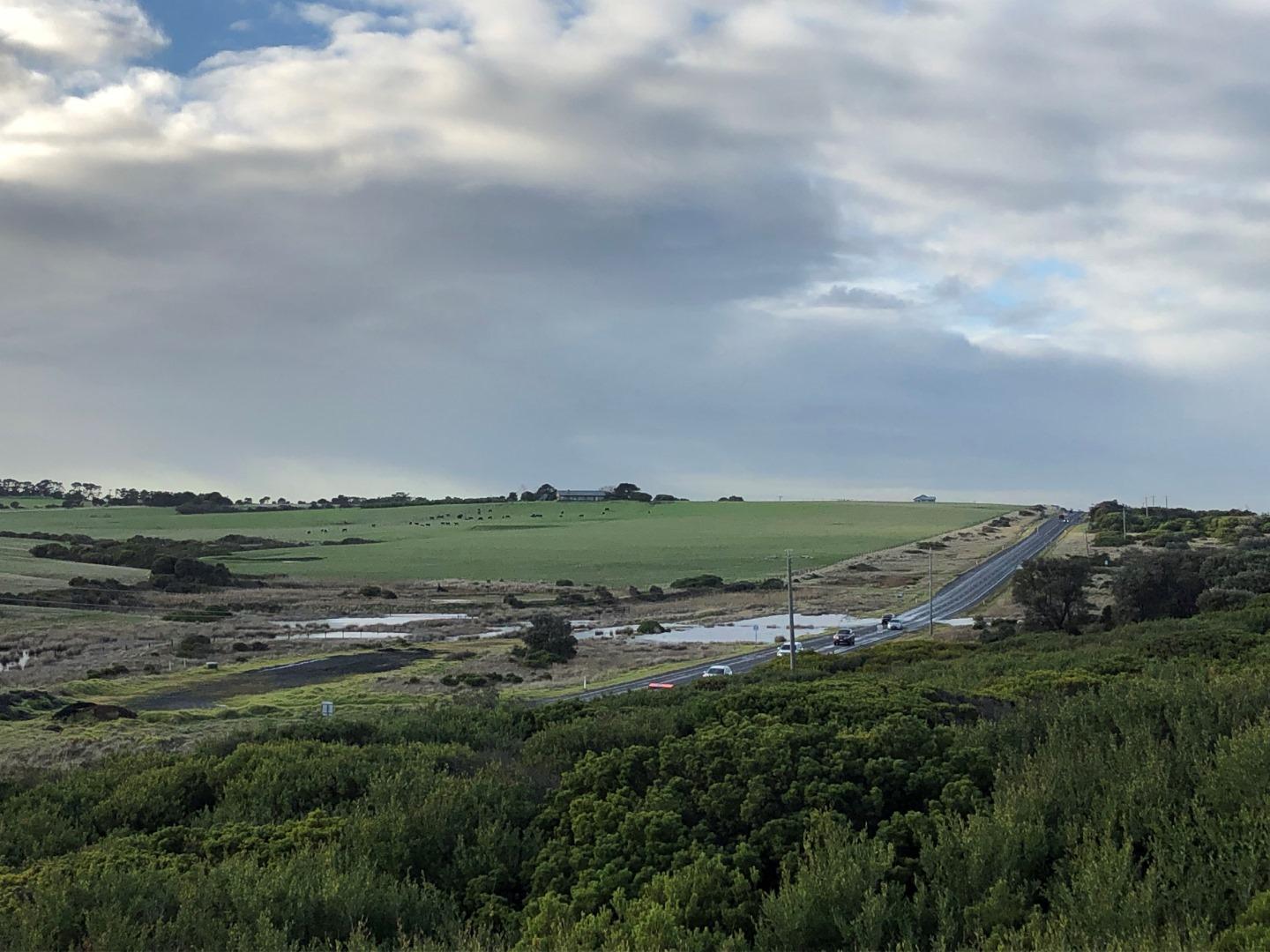
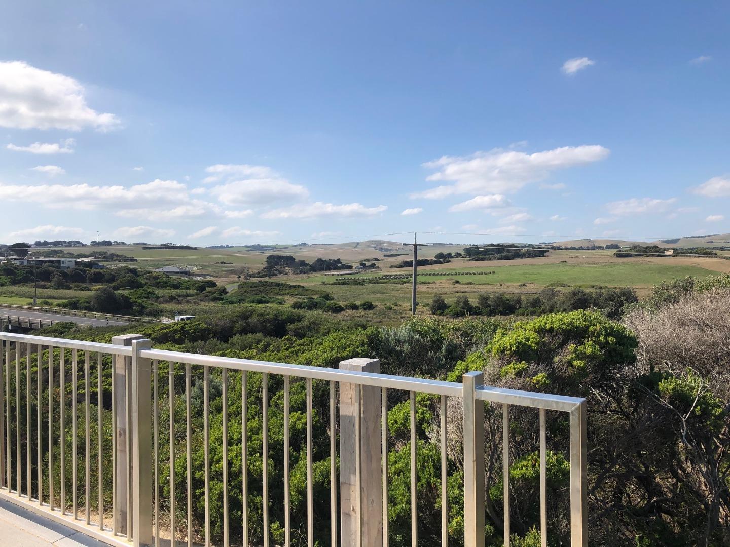
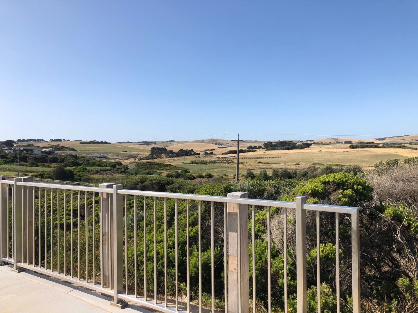
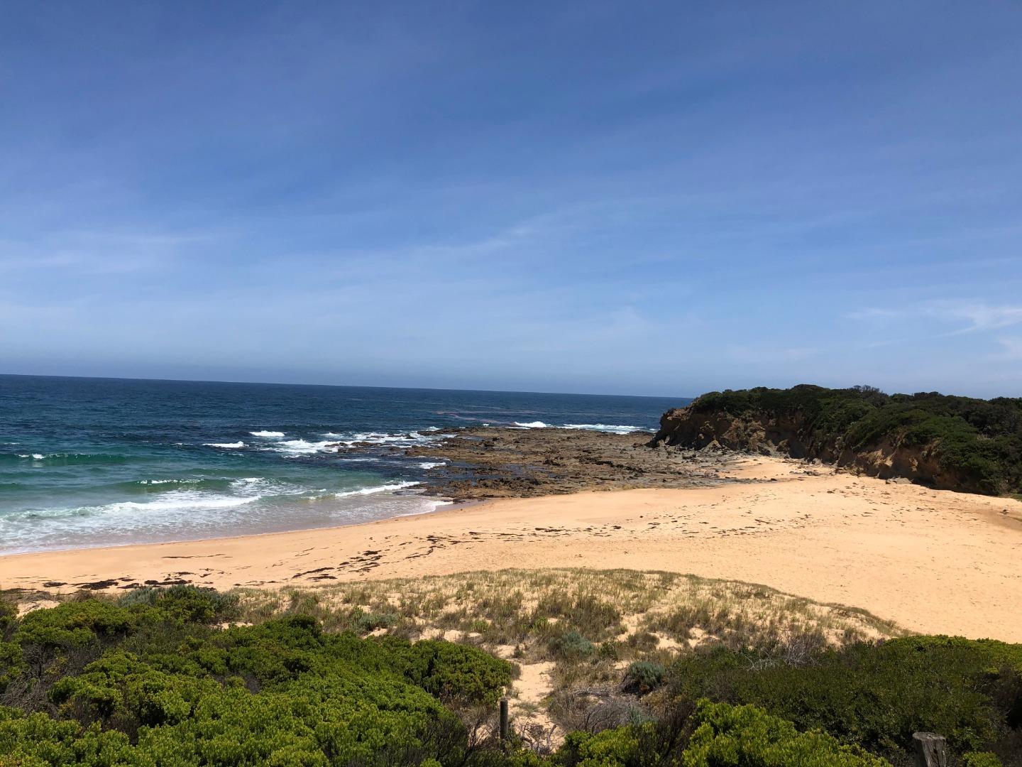
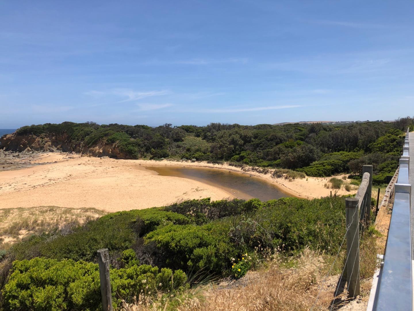
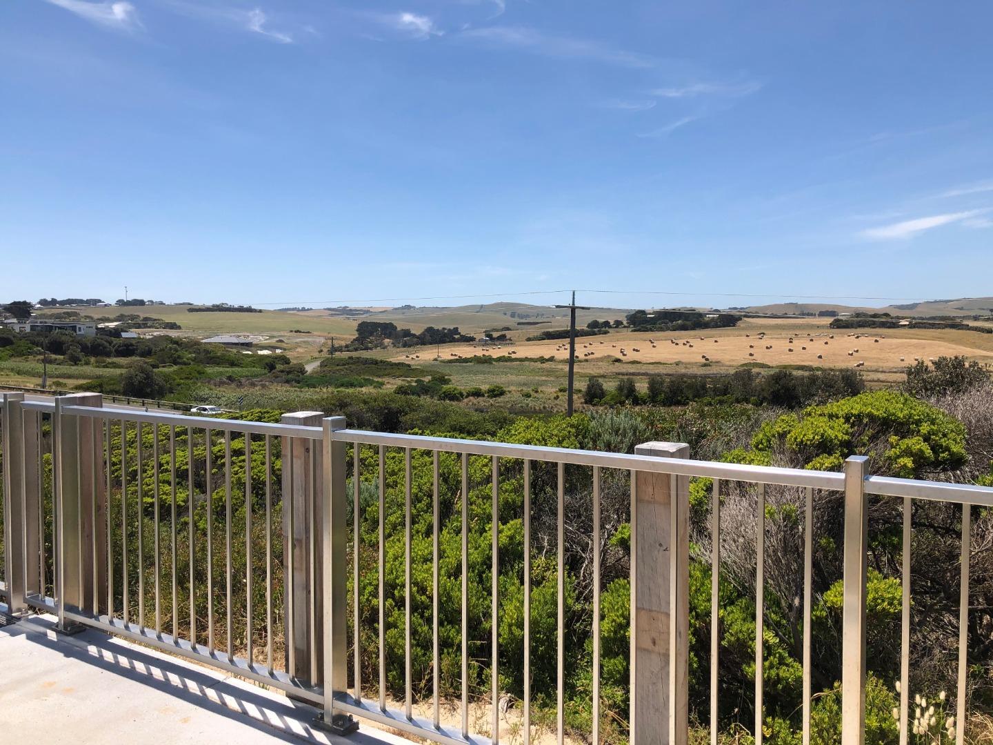
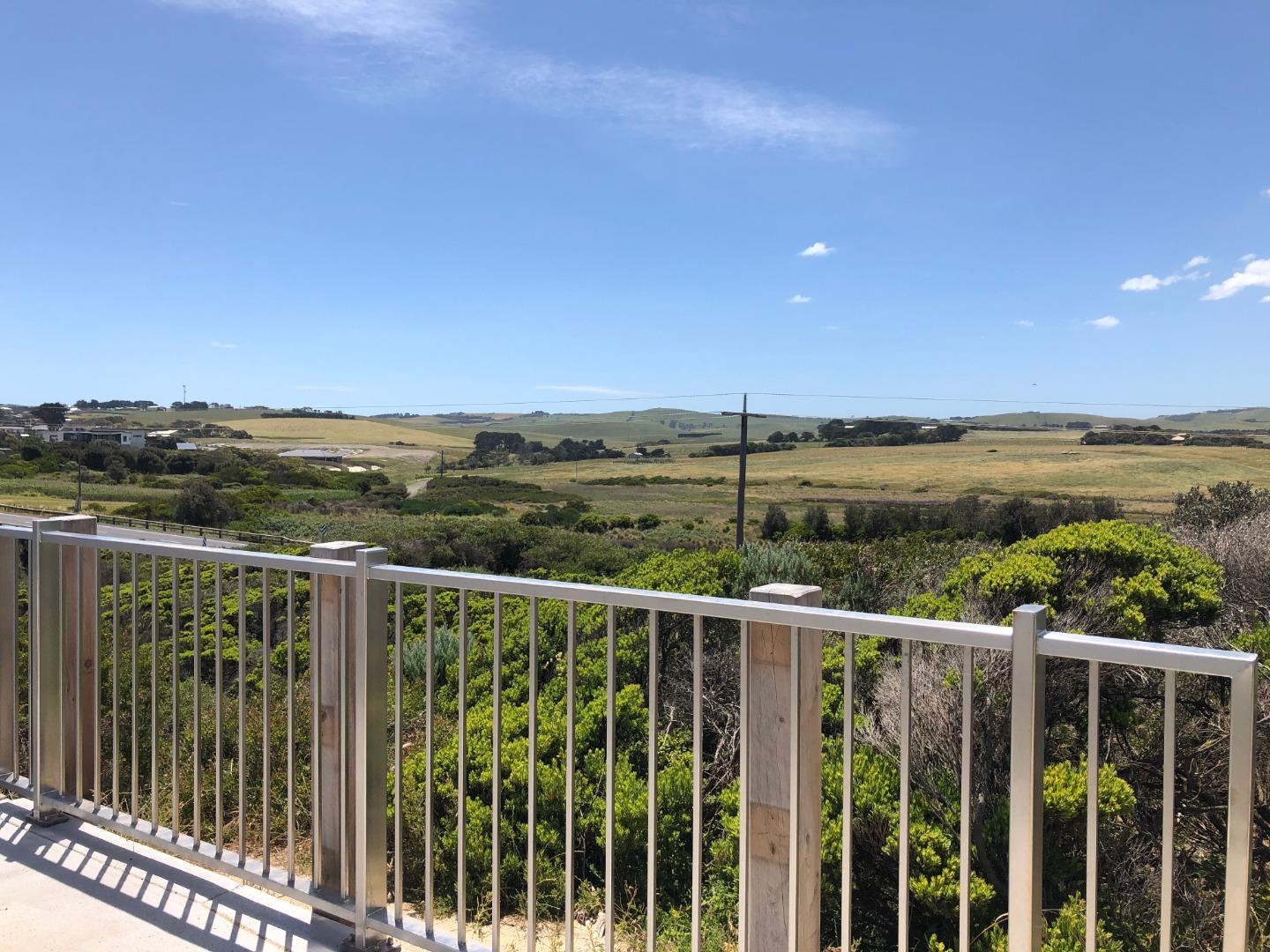
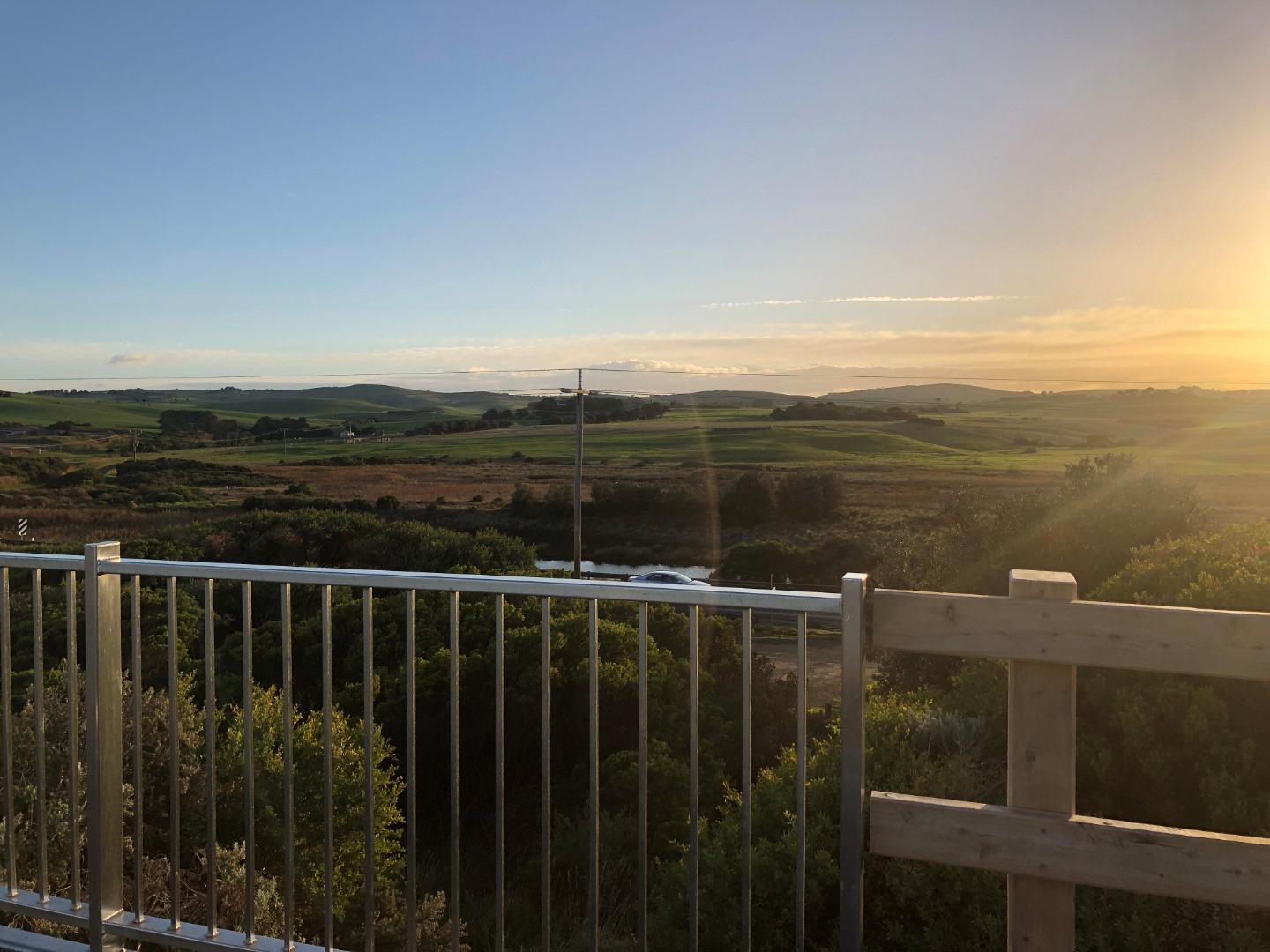
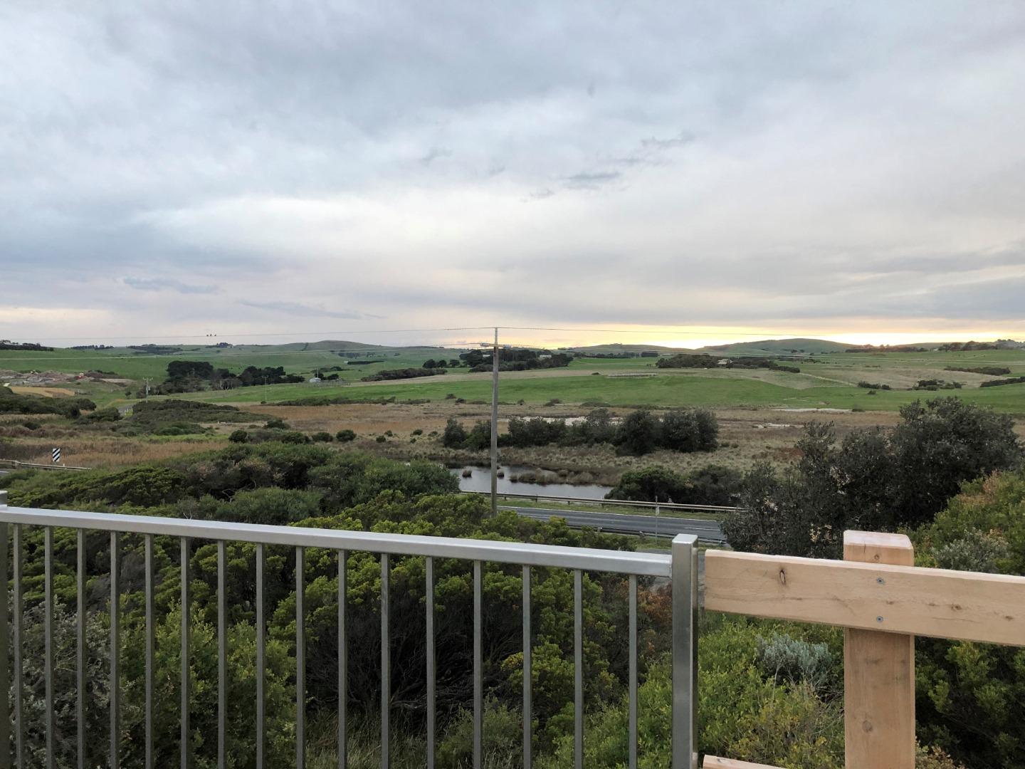
Bourne Creek is a small intermittently closing and opening coastal estuarine lagoon (ICOLL) located to the east of the Kilcunda township. The majority of the creek that is considered estuarine is located within protected crownland reserves with good vegetation cover (i.e. the Kilcunda Creek Water Frontage and Kilcunda Coastal Reserves). The broader catchment that feeds the estuary with freshwater is approximately 10 square kilometres, extending as far north as the Kilcunda Ridge Road. This catchment is relatively steep, eroded and contains very little remnant or newly established vegetation. |
| Estuary Values |
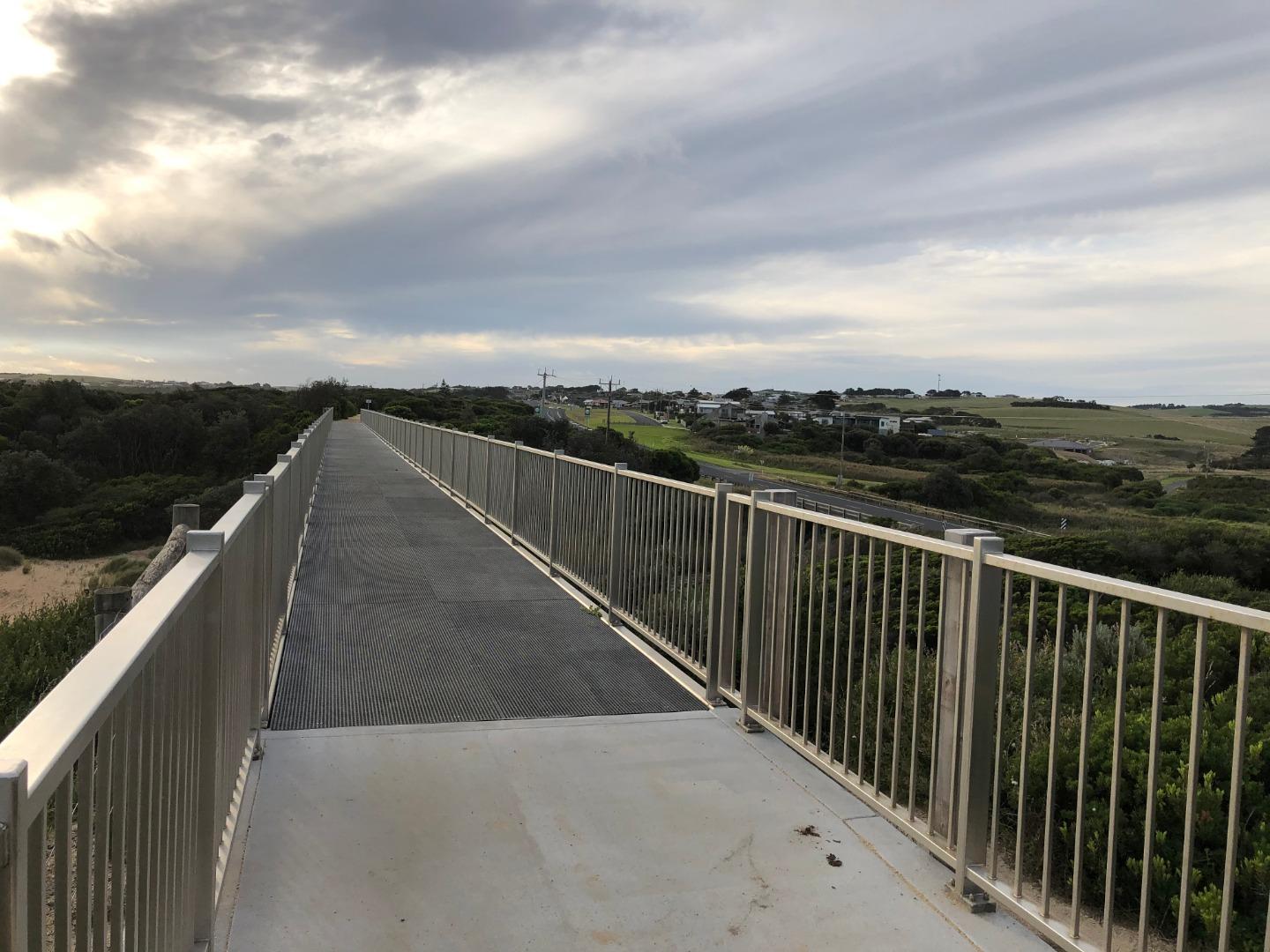
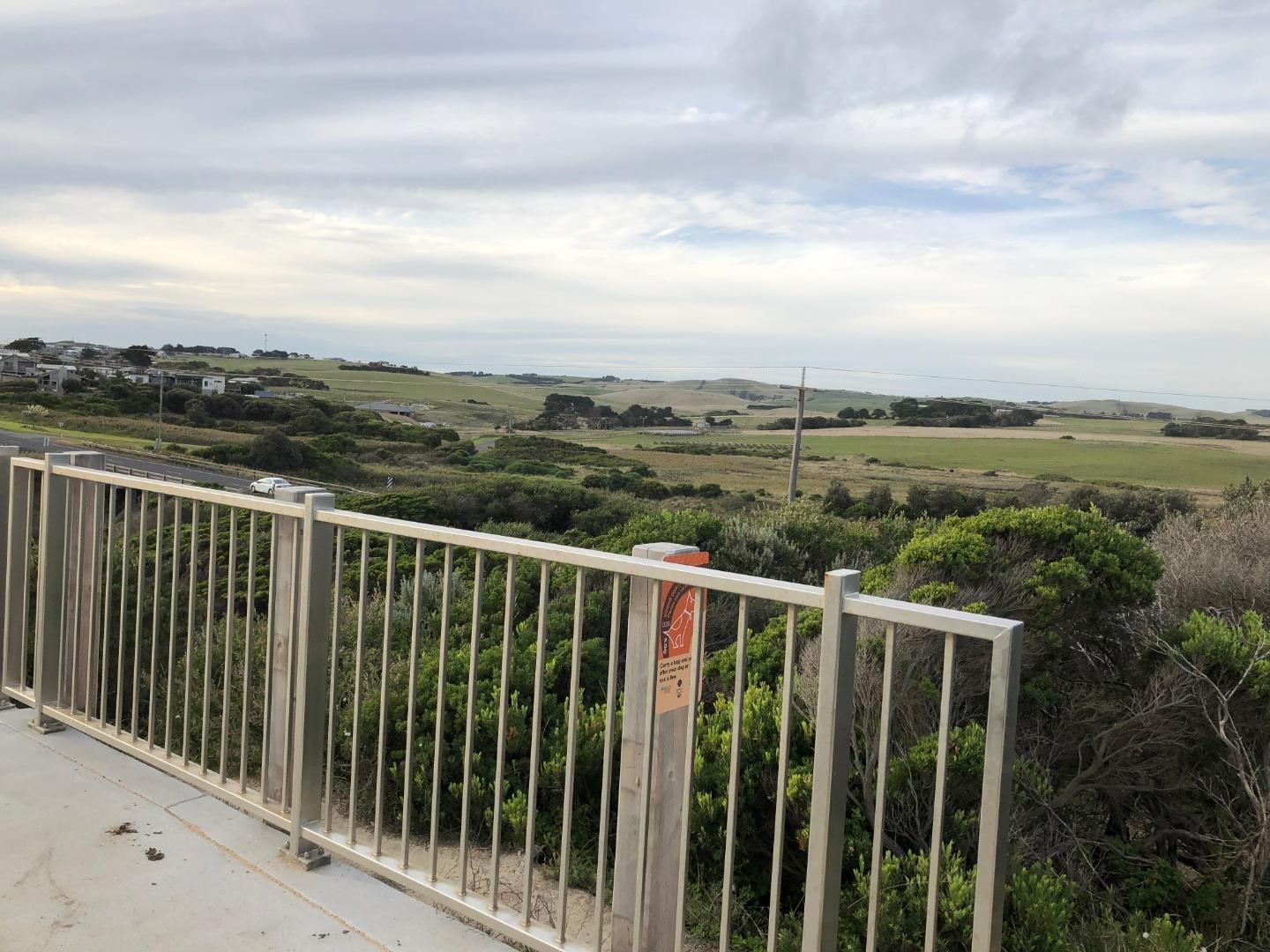
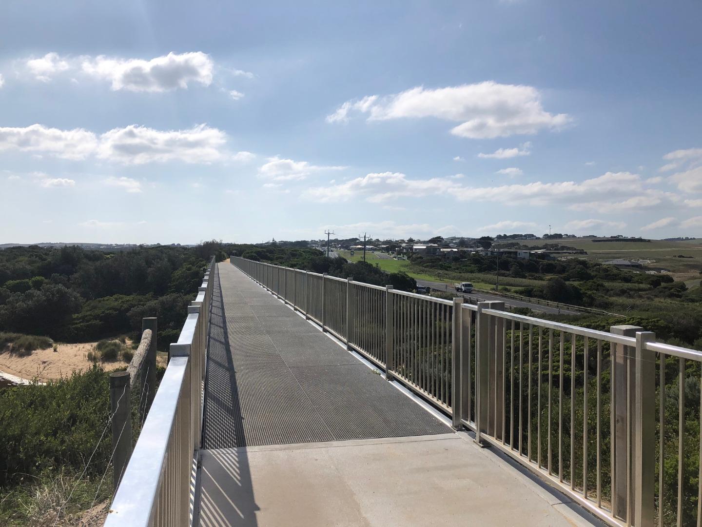
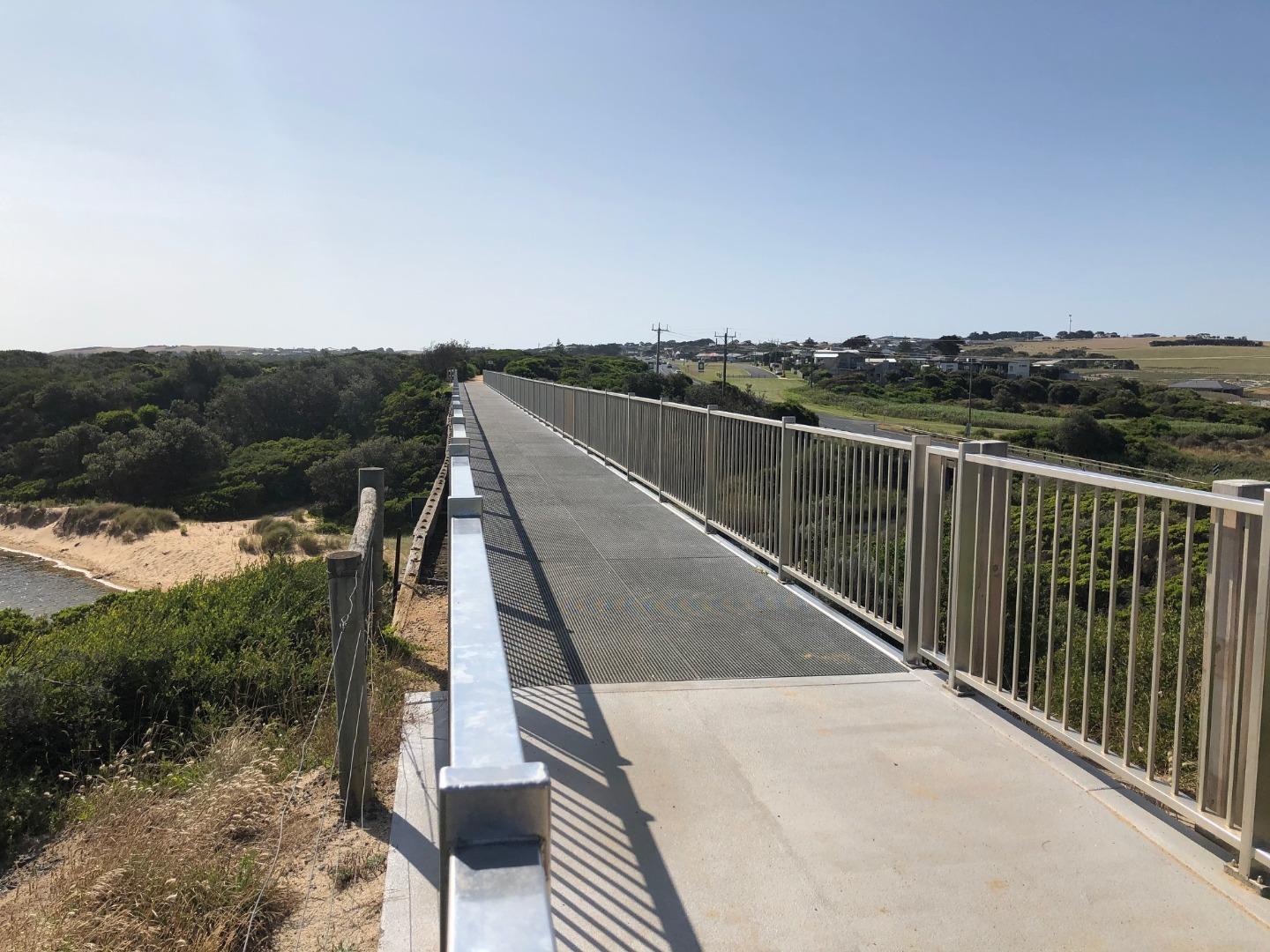
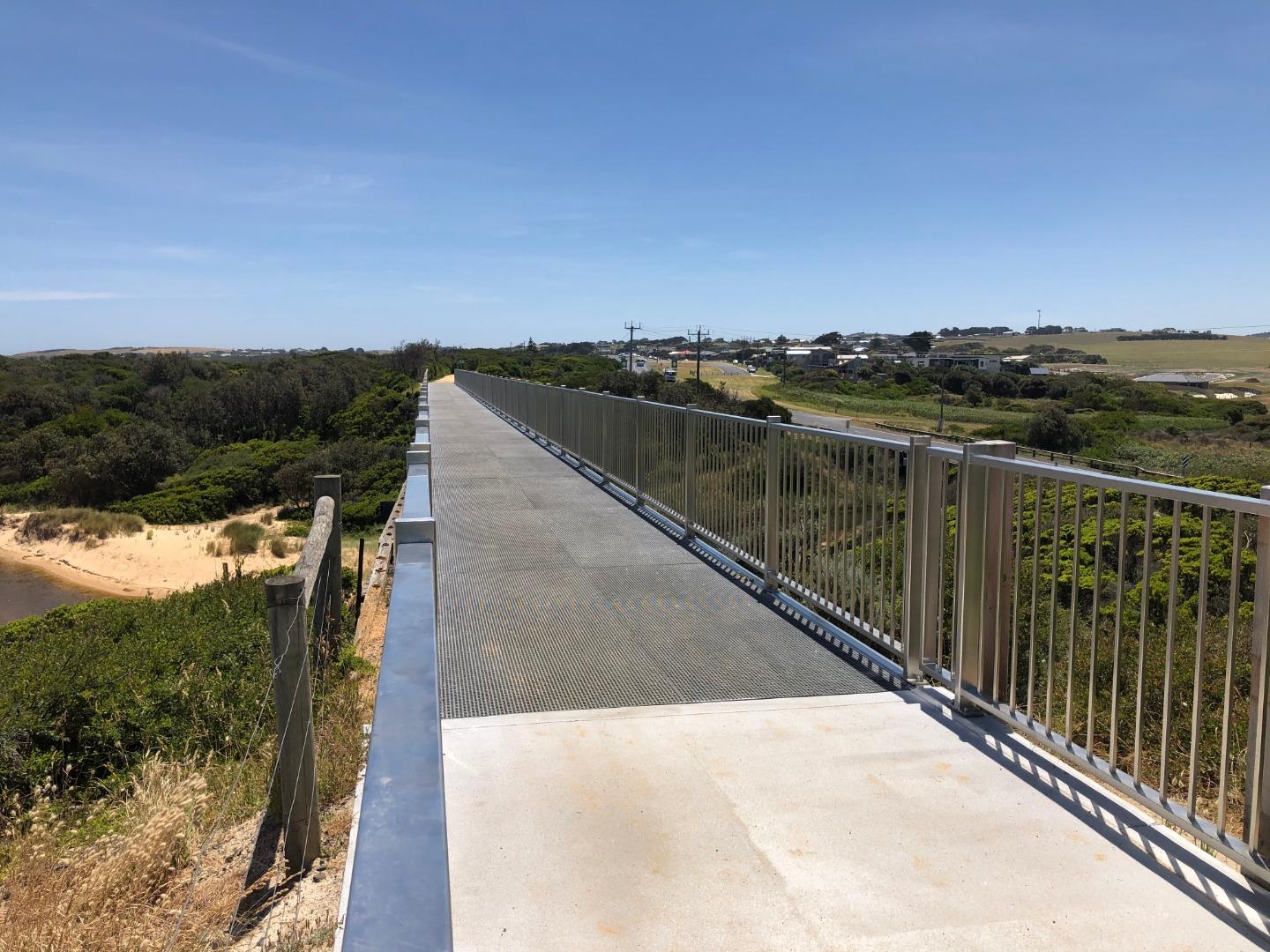
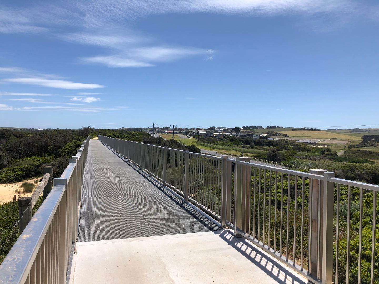
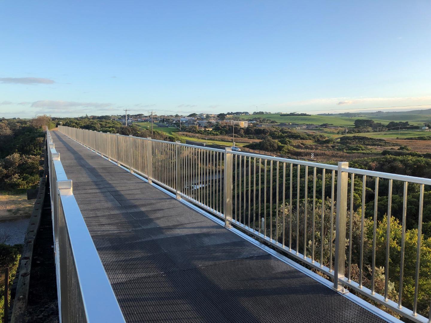
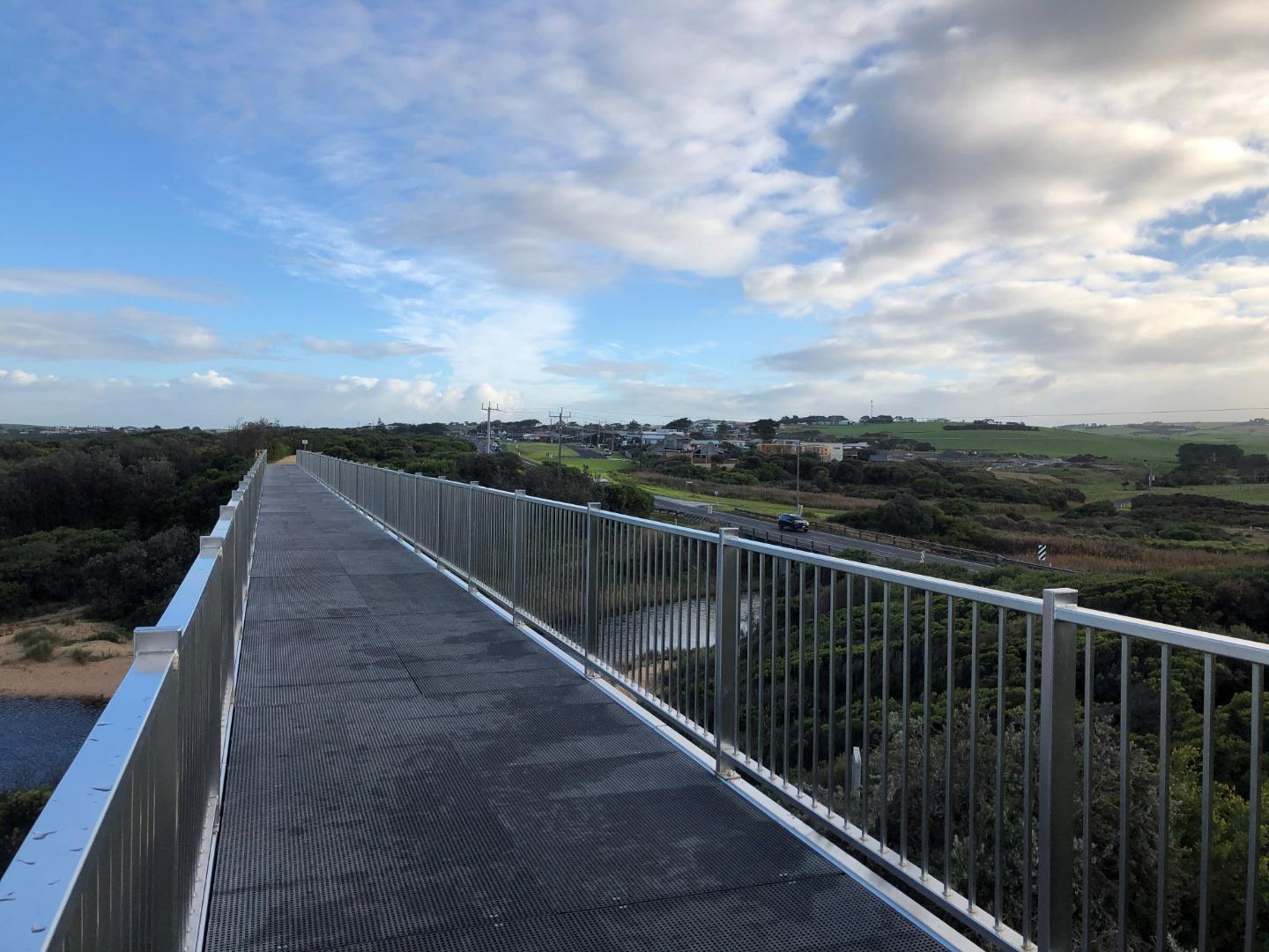
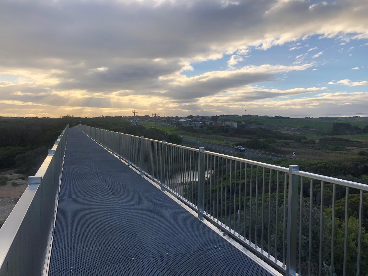
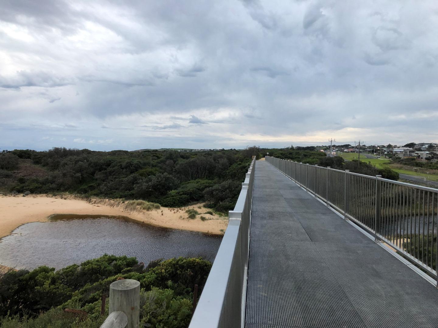
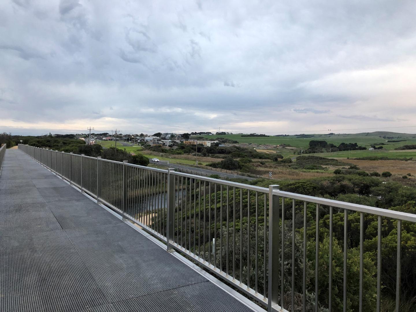
- EVC pre European settlement: (83) Swampy Riparian Woodland (Endangered). - EVCs that appear to inhabit the site currently: (9) Coastal Saltmarsh, (10) Estuarine Wetland (this is likely to resulted from changes in hydrology resulting from catchment clearing, intensive landuse leading to the loss of top soil and deepening of the creek channels (i.e. lowering of the landscape and creek channels to allow the intrusion of more saltwater into the creek). On top of this the recent need to carry out artificial estuary entrance openings would also have allowed more saltwater into the creek). - Bird species sighted at Bourne Creek include; Hooded Plover, Sooty Oystercatcher, Eastern Great Egret, Pacific Gull, Greater Sand Plover, Common Diving Petrel - Fish species at Bourne Creek; Common Galaxias, Spotted Galaxias, Short-finned Eel, Flatheaded Gudgeon, Black Bream. - The old trestle bridge that goes over Bourne Creek is a tourist attraction and popular amongst photographers. |
| Estuary Threats |
Unpermitted estuary entrance openings, growing populations, changes in water regimes, high levels of sediment and nutrients, pollution events, habitat modification, land reclamation, Invasion by weeds and pest animals, salinisation and acidification, bank instability, livestock access and altered marine exchange.
|
| Data | Site observations |
| Status | Active |
| Monitor group | WGCMA Estuary Management Group |
Sites
| Site details | Options |
|---|---|
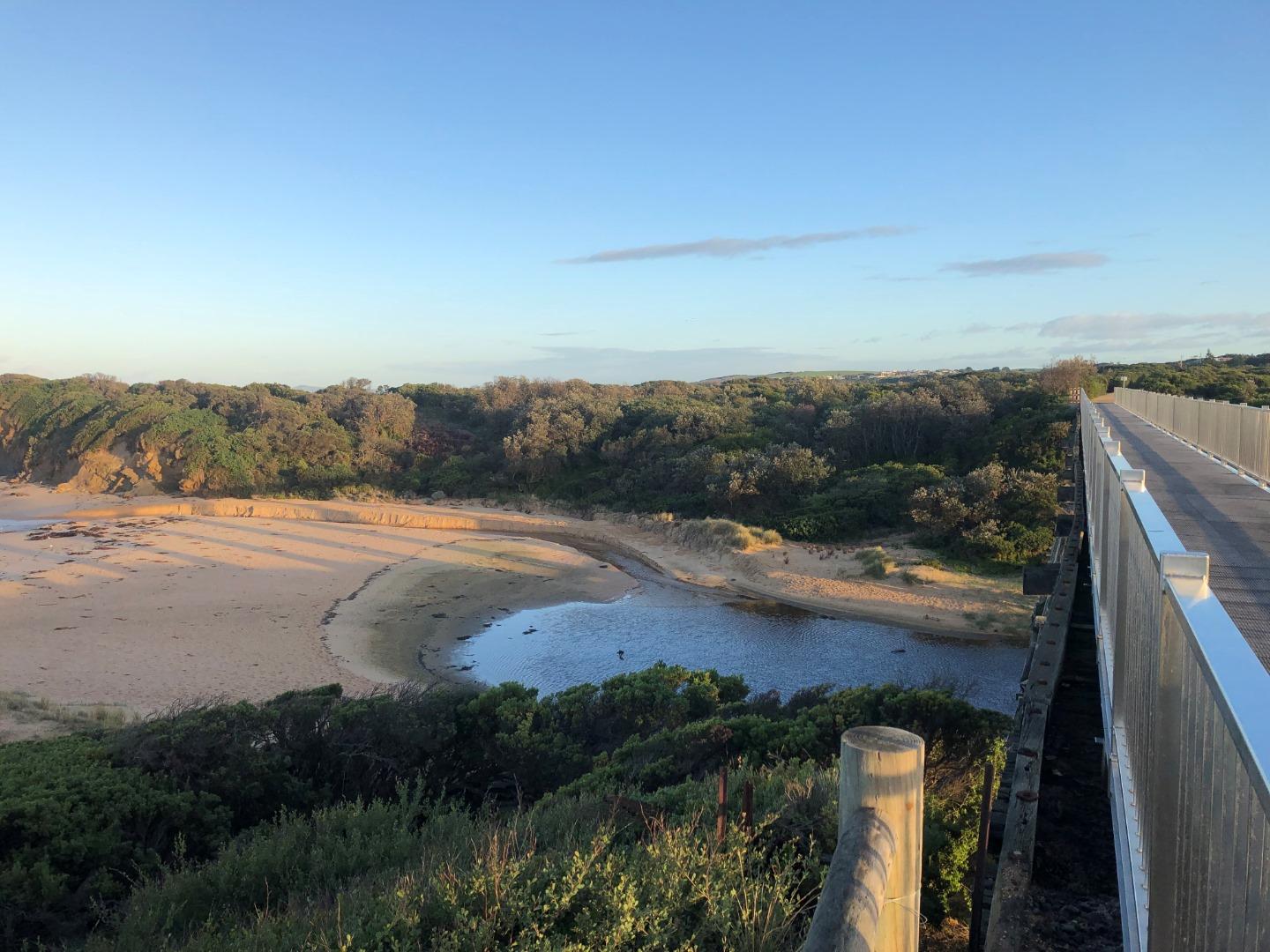
Bo1 Bourne Creek Eastern Bank Phys/ChemActive Physico-Chemical 24-05-2016 - 27-03-2024Grassy bank 20 metres upstream of the Kilcunda Rail Trail Trestle bridge. Eastern bank of the creek. |
Observations 64 |
BoGB Bourne Creek Gauge BoardActive Gauge BoardBourne Creek gauge board located on the eastern bank downstream of Bass Highway bridge and upstream of trestle bridge. |
|
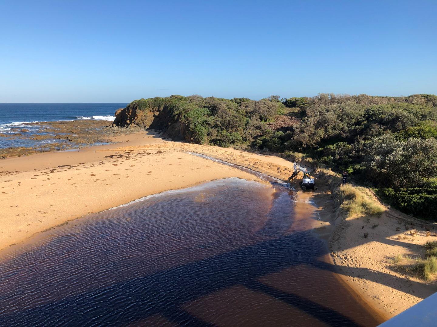
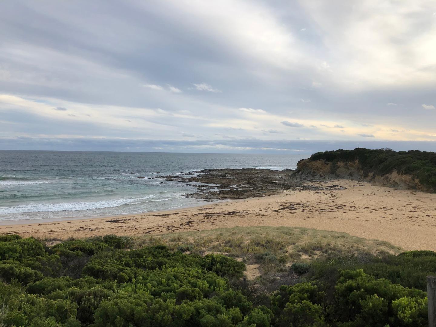
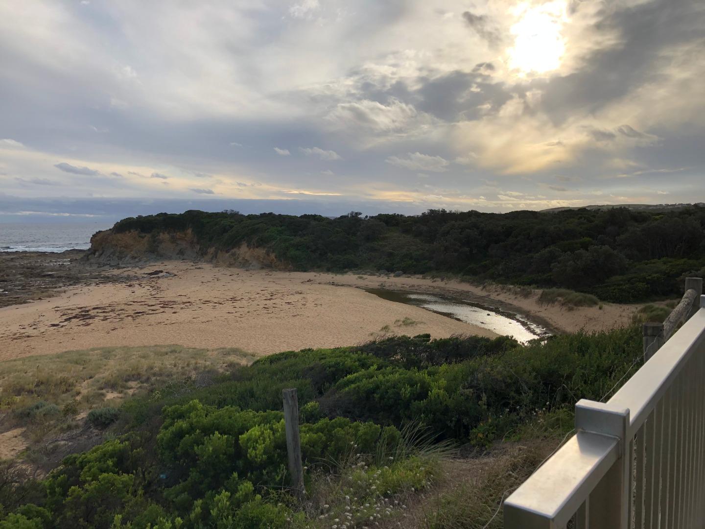
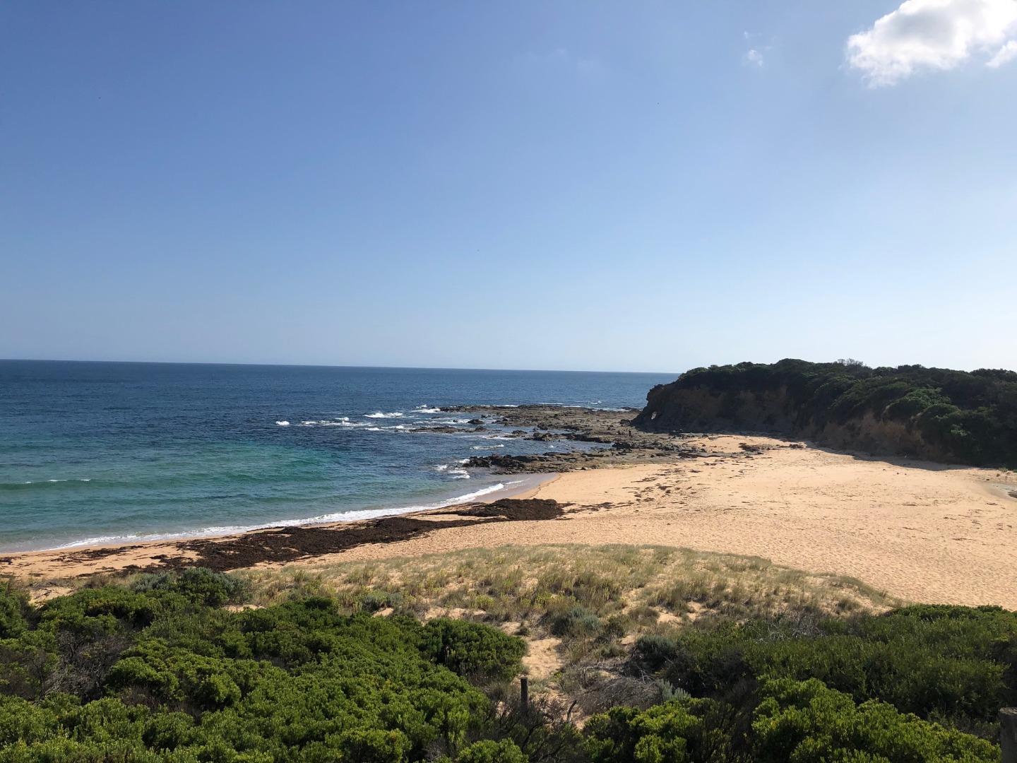
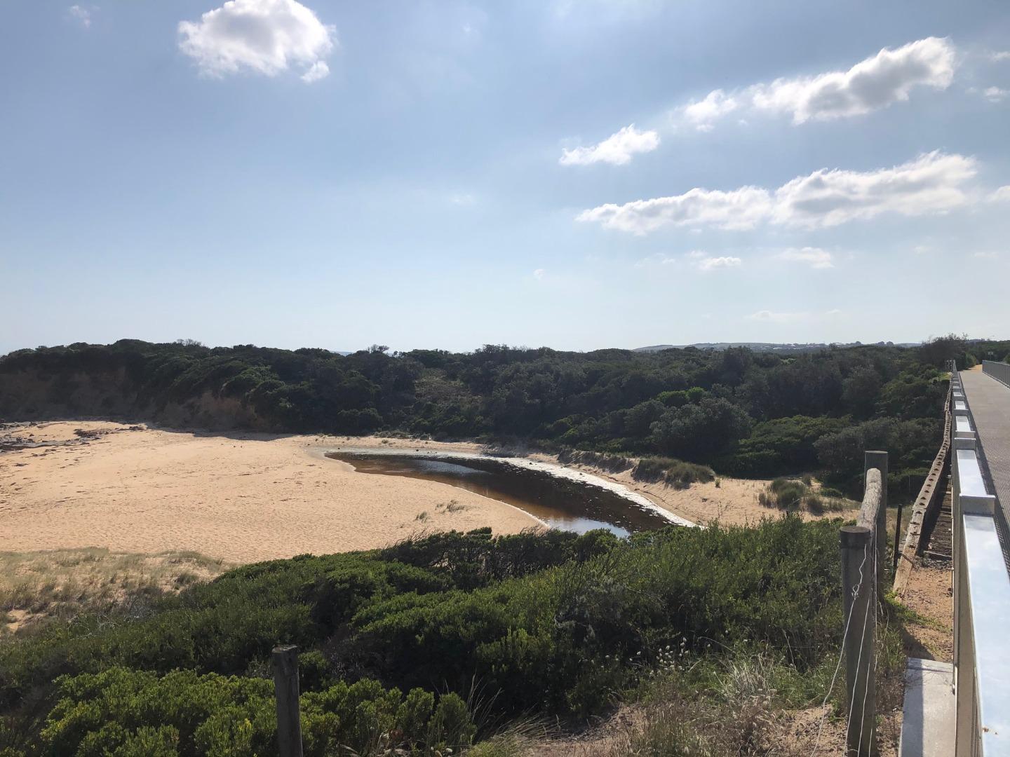
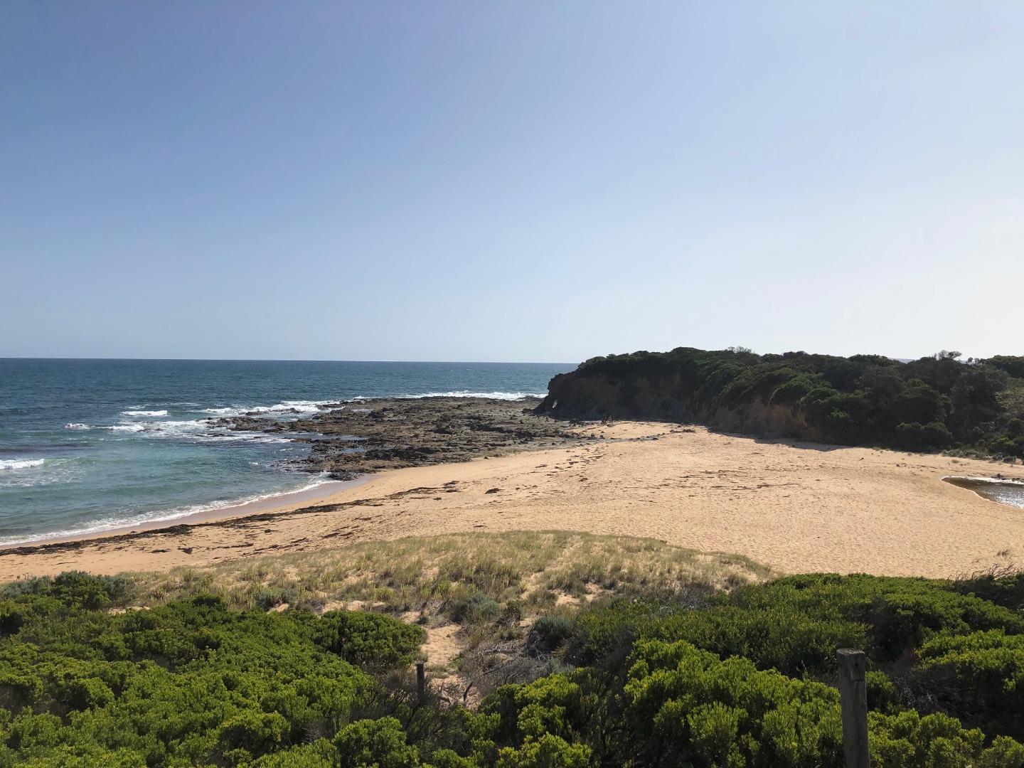
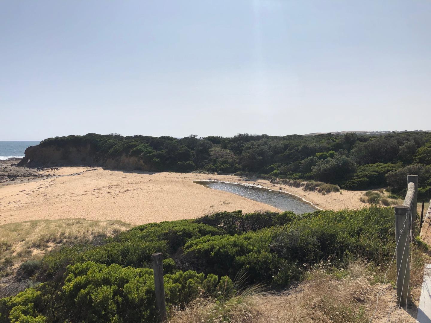
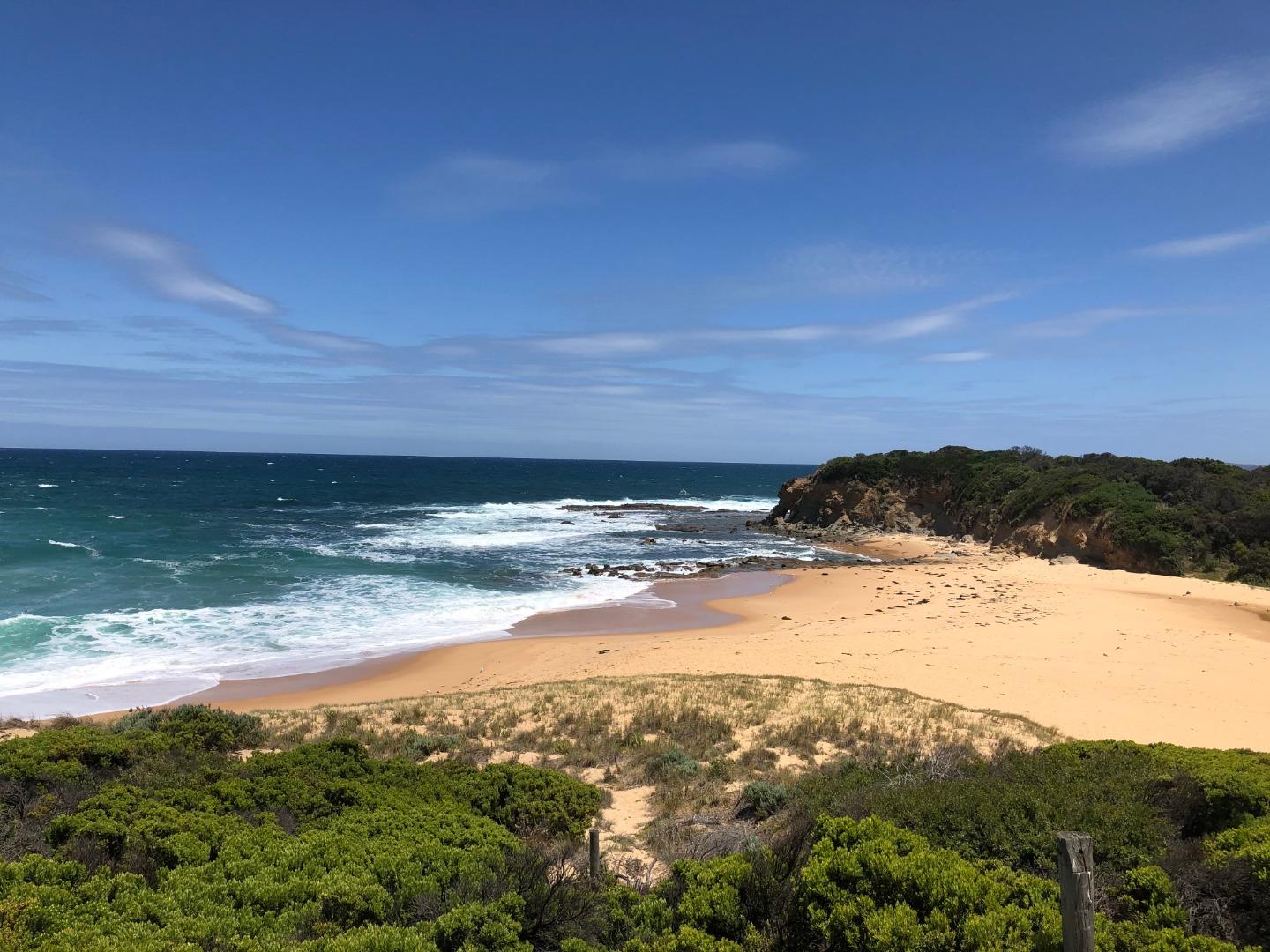
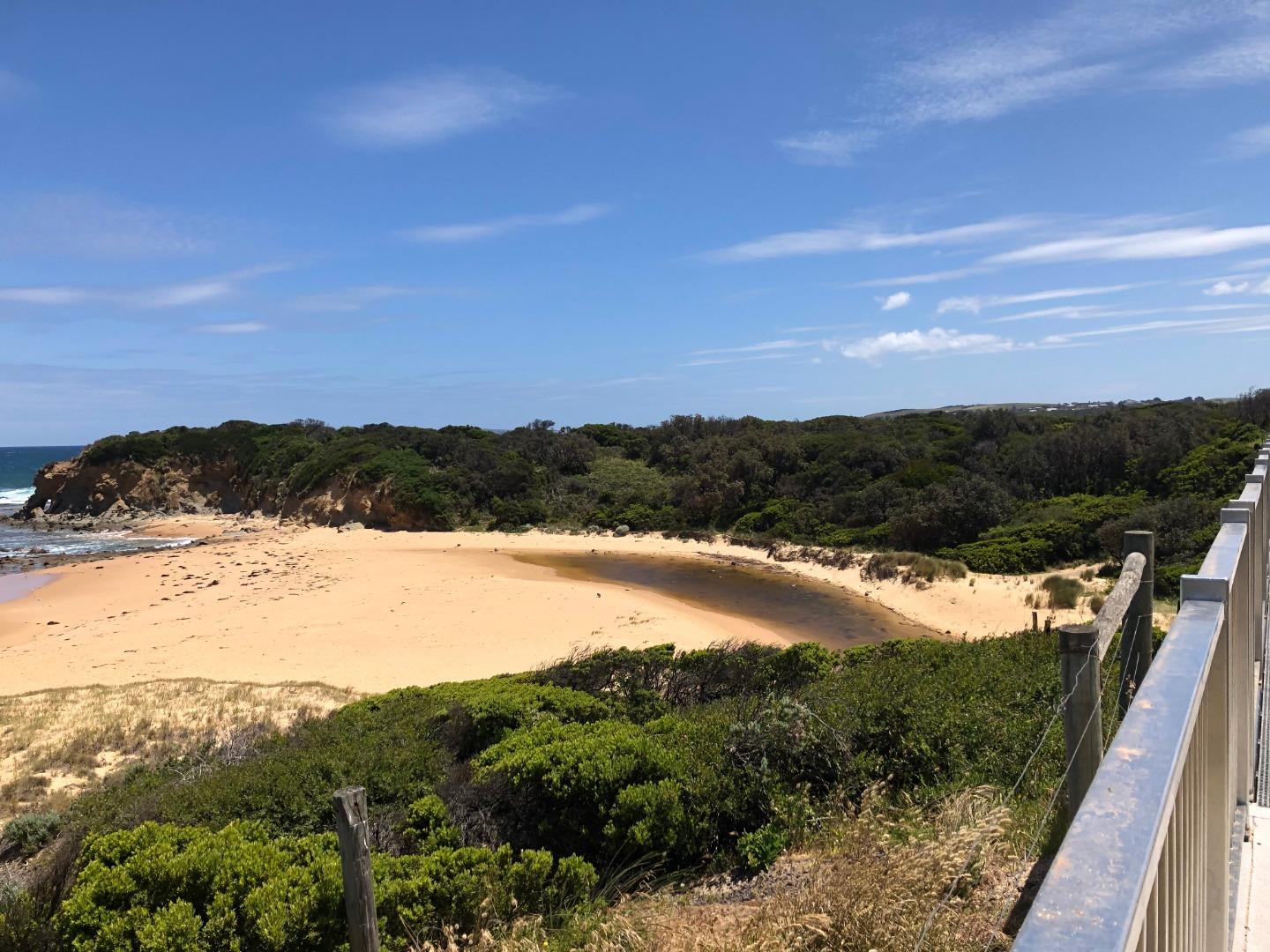
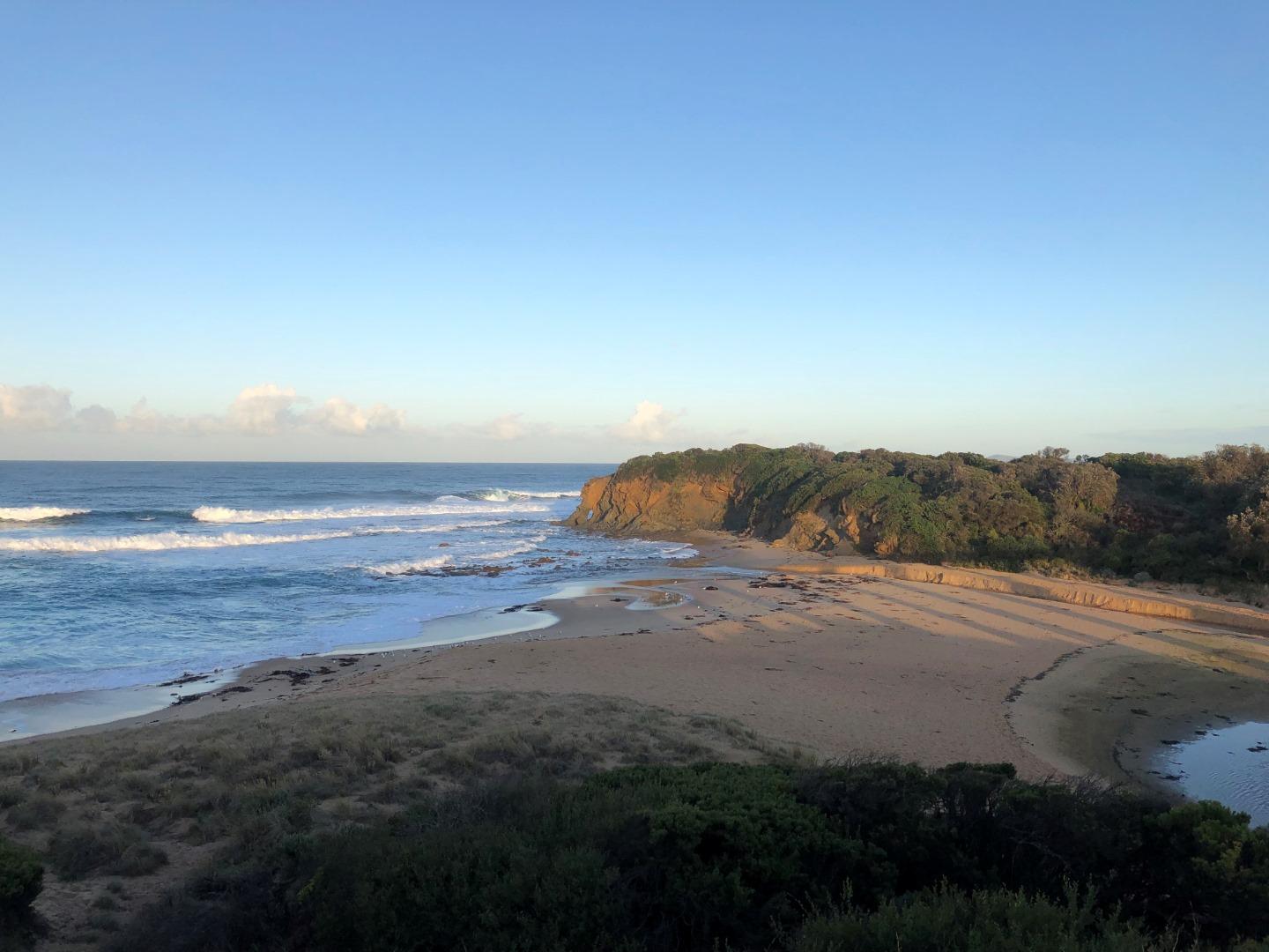
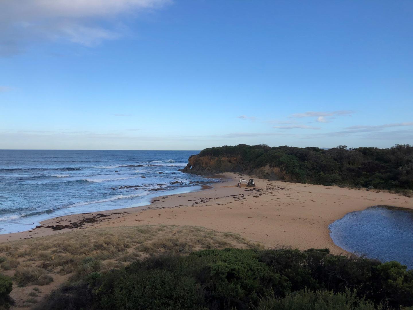
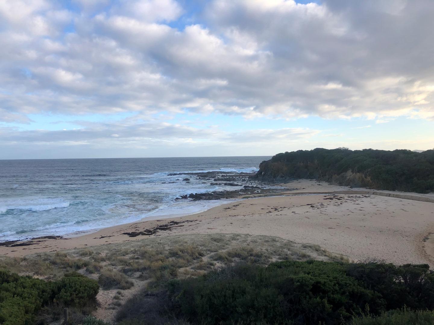
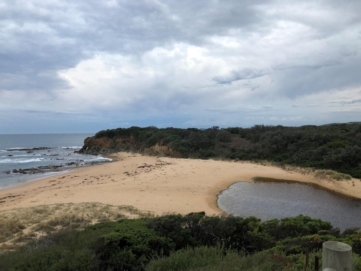
BoMC Bourne Creek Mouth Condition Monitoring SiteActive Mouth Condition 27-04-2017 - 30-04-2024Mouth of Bourne Creek. |
Observations 109 |
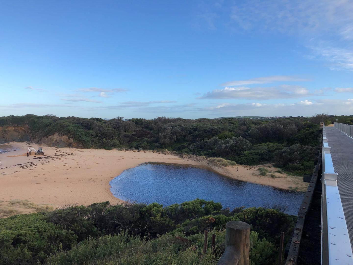
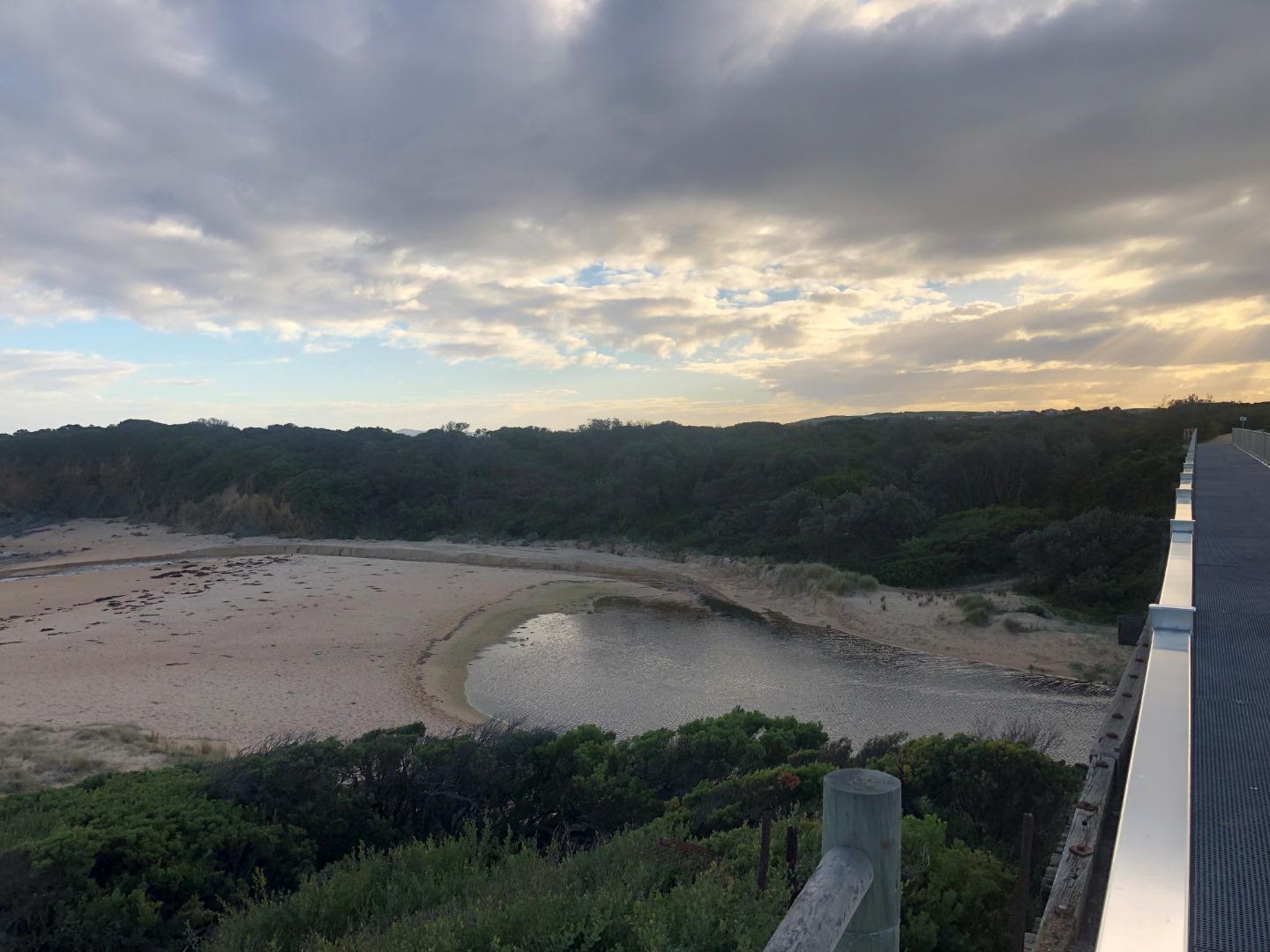
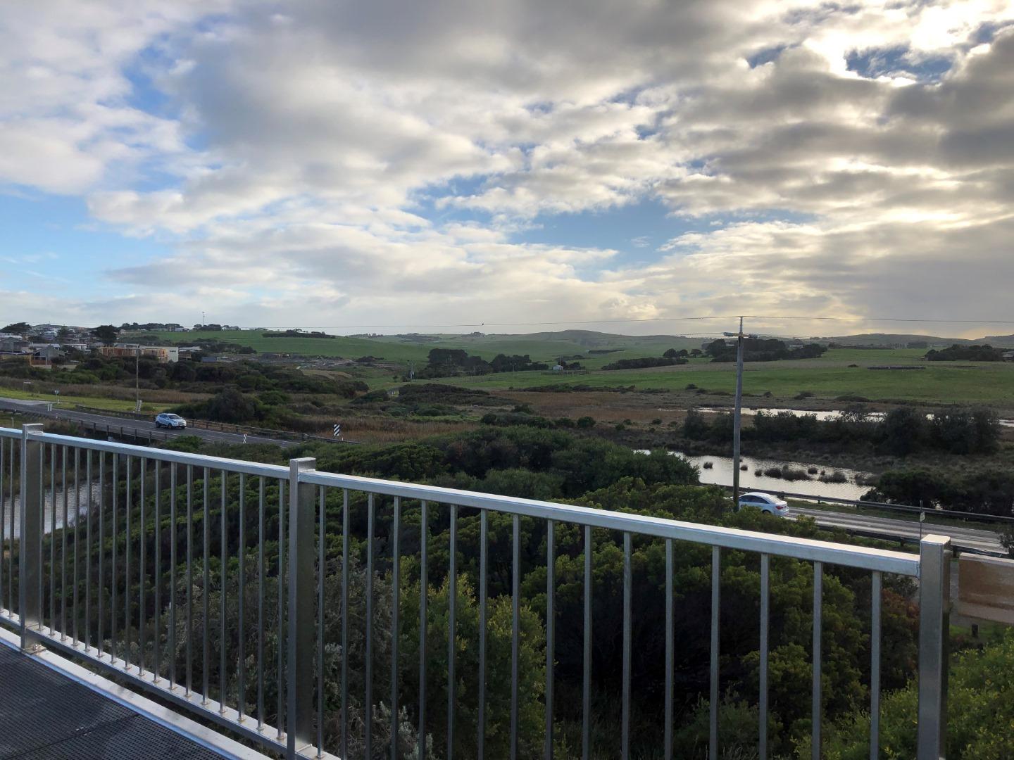
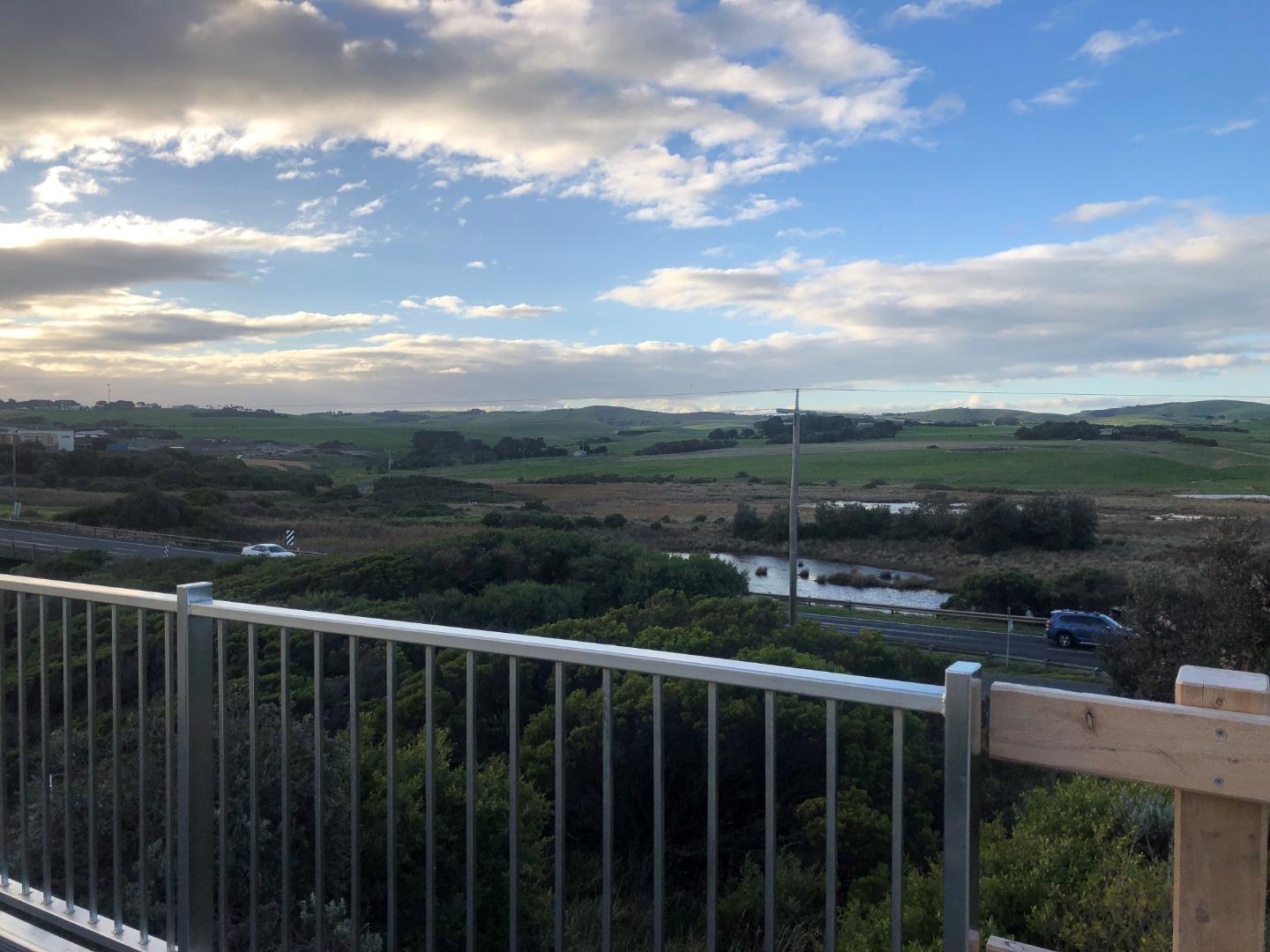
Bop1 Bourne Creek Photopoint Site OneActive Photopoint 15-05-2017 - 02-05-2024Eastern side of the Kilcunda Rail Trail (Trestle) Bridge, using the corner of the handrail (Oceanside) where the timber meets the gravel path as a guide. |
Photos 301 |
Recent Events
| Event Details |
|---|
| 13-06-2019 Estuary Entrance Opening Bourne Creek was artificially opened following consistent autumn and early winter rainfall. This opening was performed to alleviate the inundation of the Bass Hwy.
|
Estuary Snapshots
The EstuaryWatch snapshots provide a summary of estuary condition on a particular day. For all EstuaryWatch Snapshots, photopoint photos and a longitudinal water quality profile from the estuary mouth to the inland extent is displayed. Read more
Autumn 2020
Summer 2020
Spring 2019
Winter 2019

All content, files, data and images provided by the EstuaryWatch Data Portal and Gallery are subject to a Creative Commons Attribution License
Content is made available to be used in any way, and should always attribute EstuaryWatch and www.estuarywatch.org.au