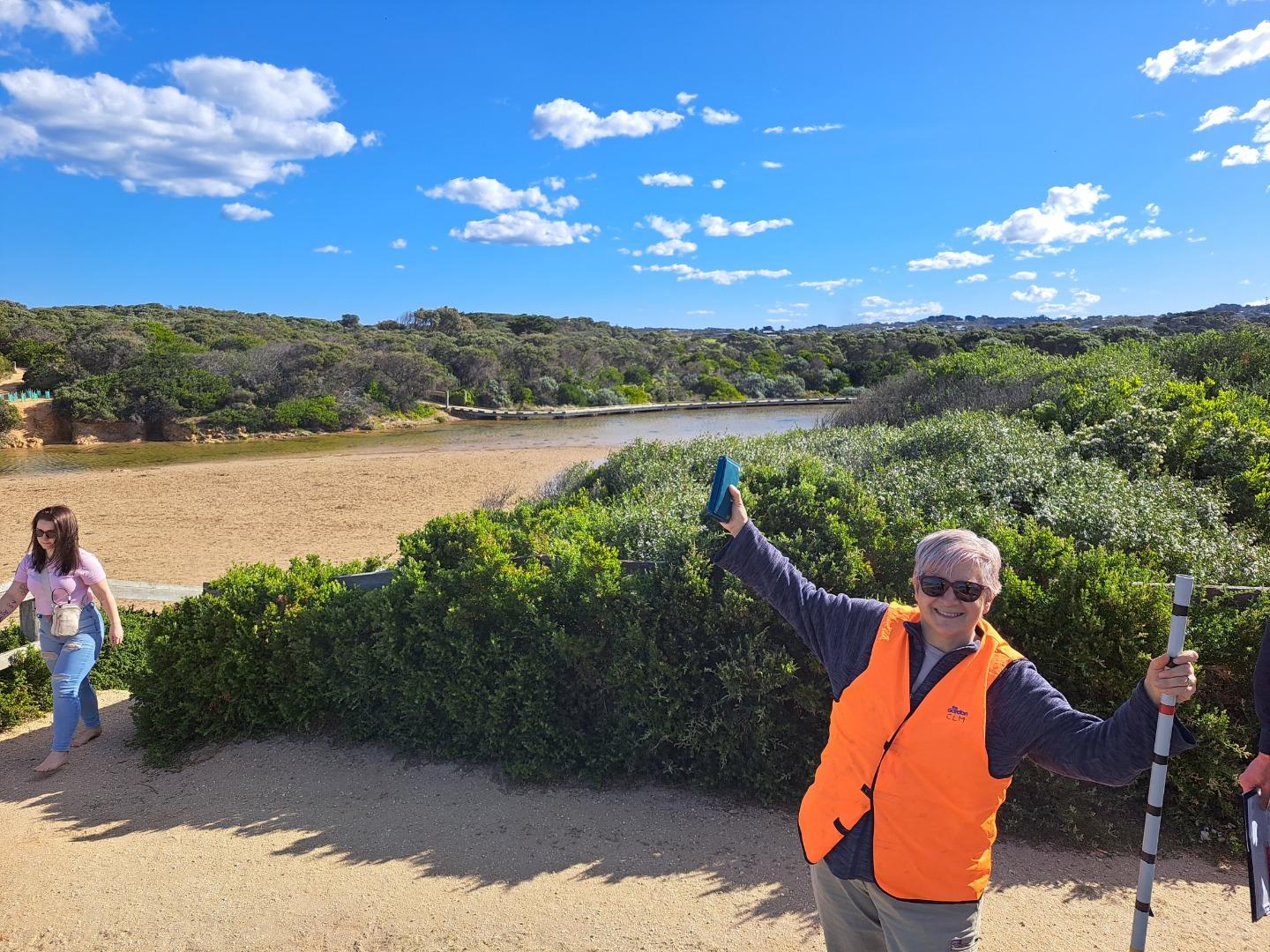
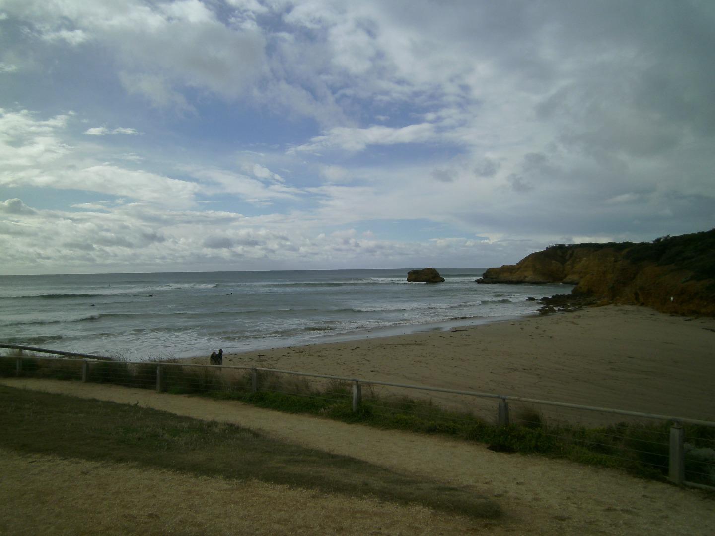
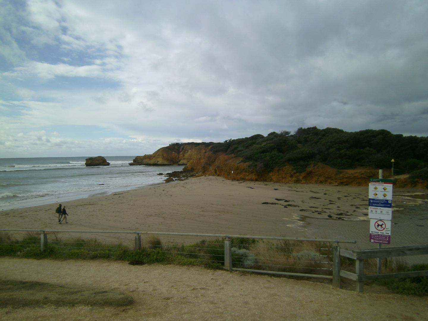
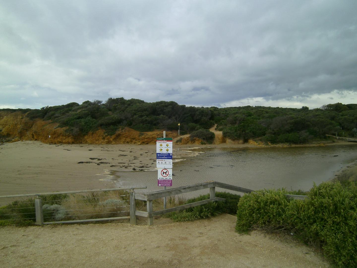
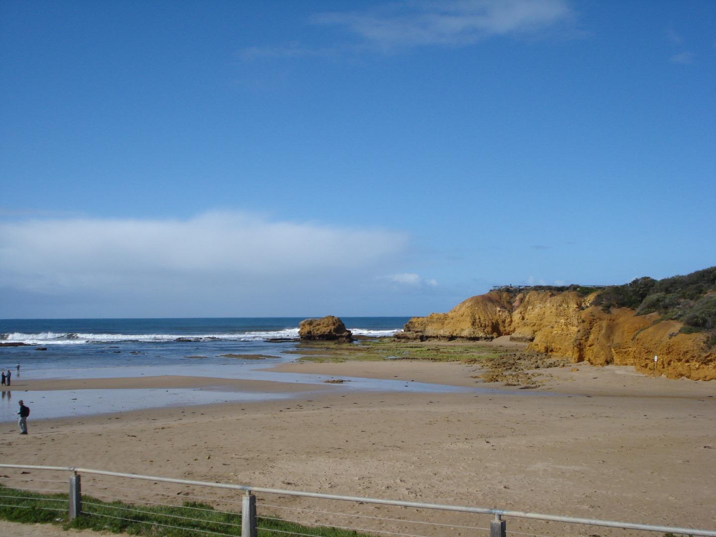
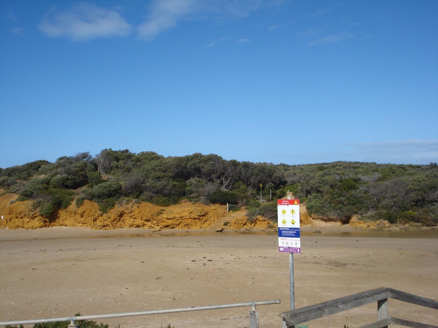
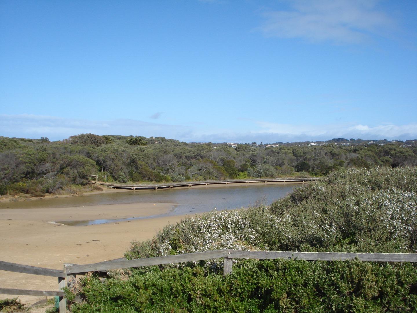
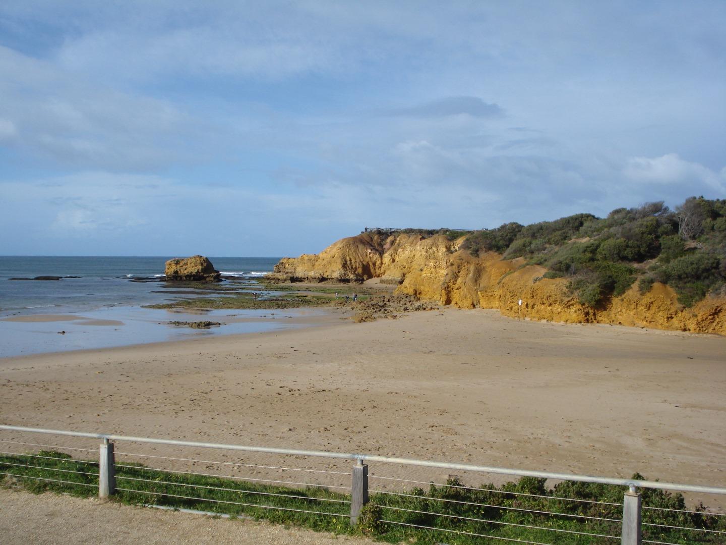
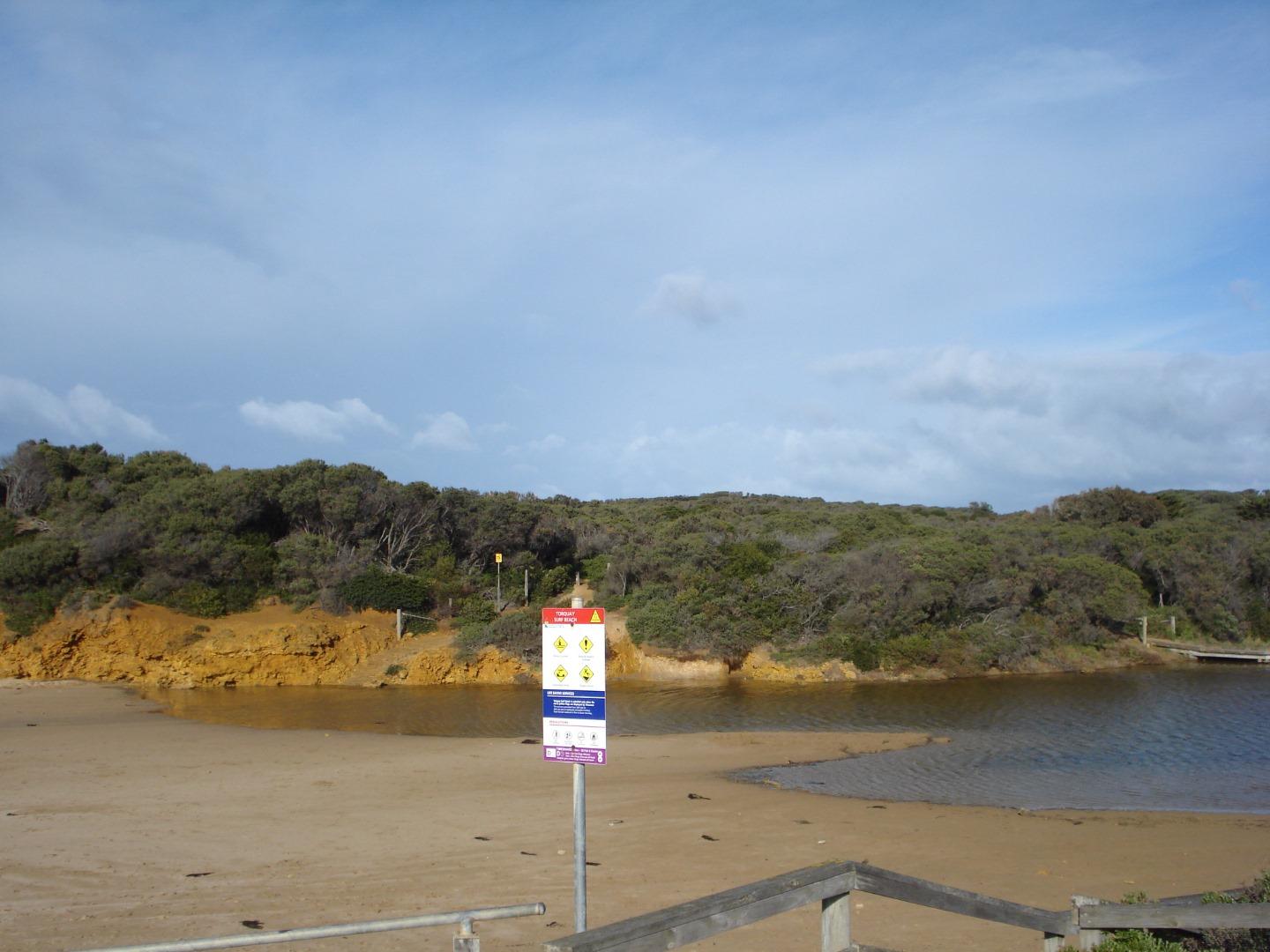
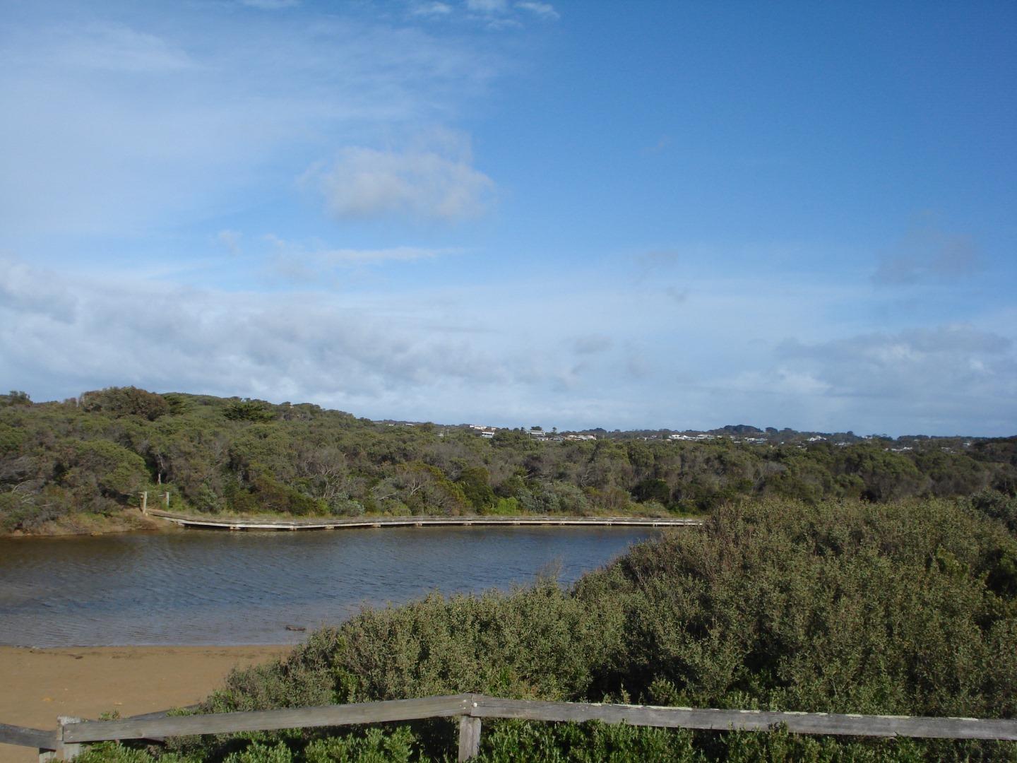
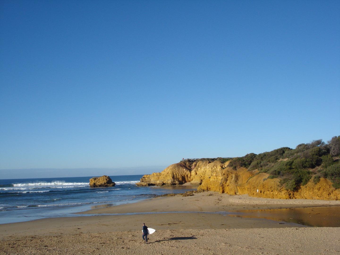
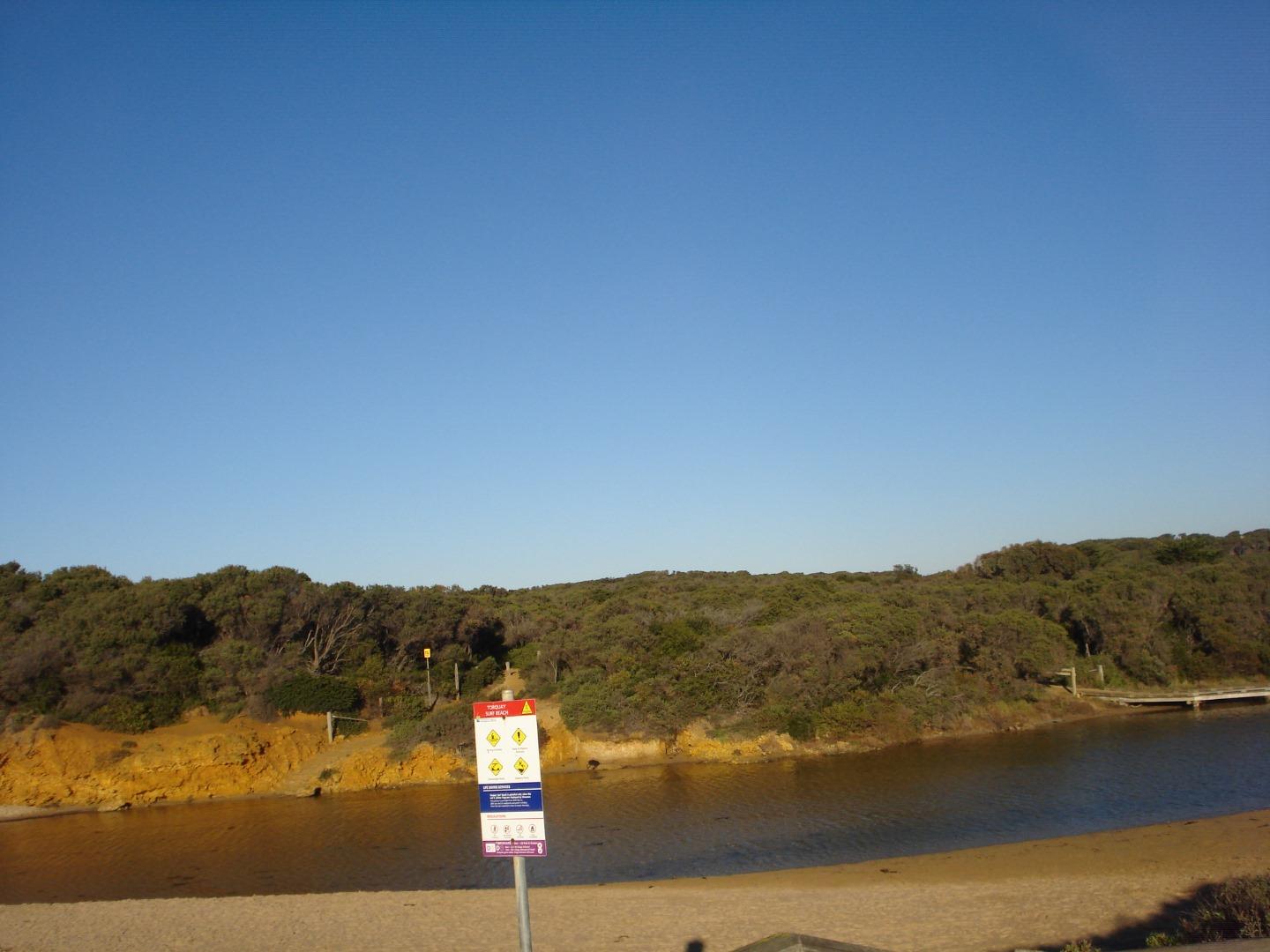
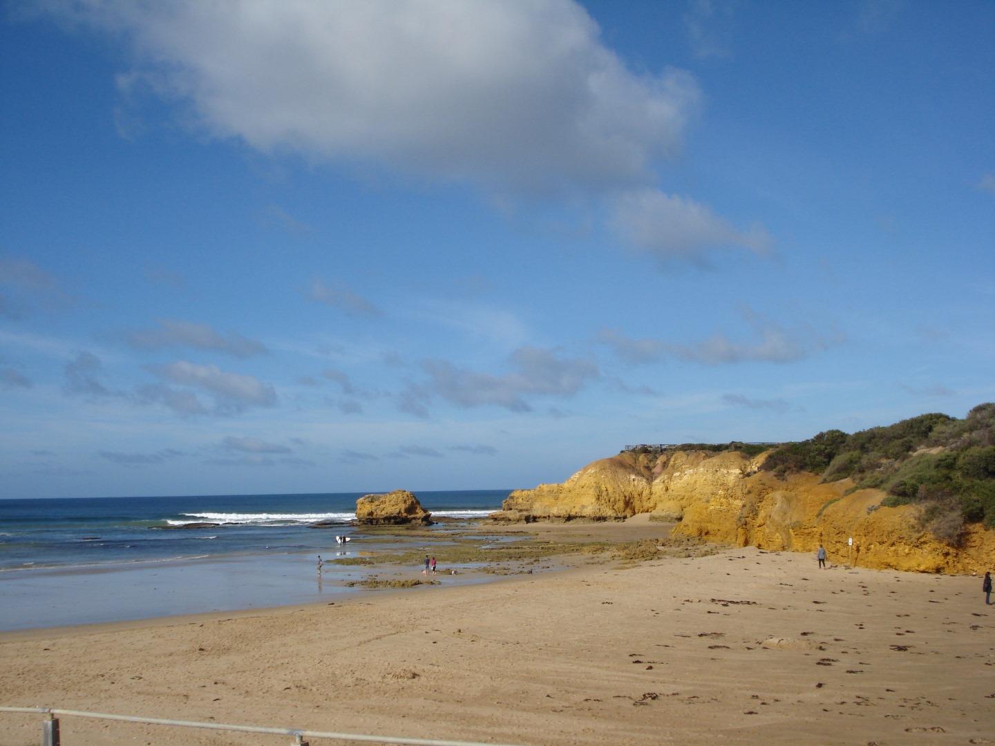
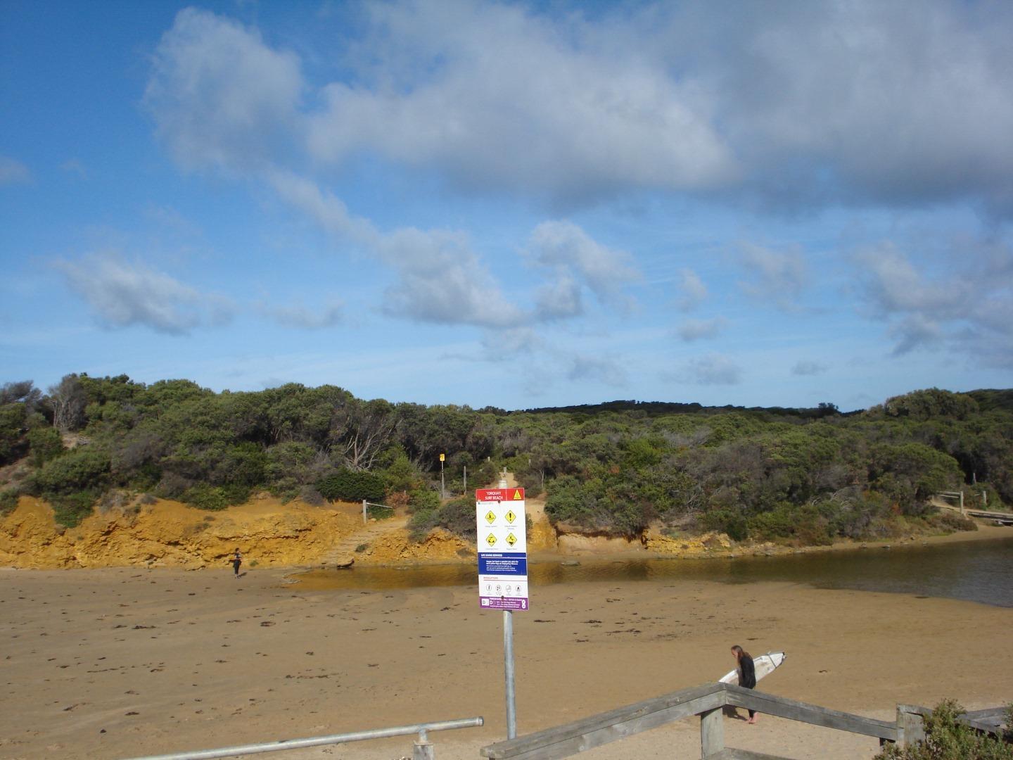
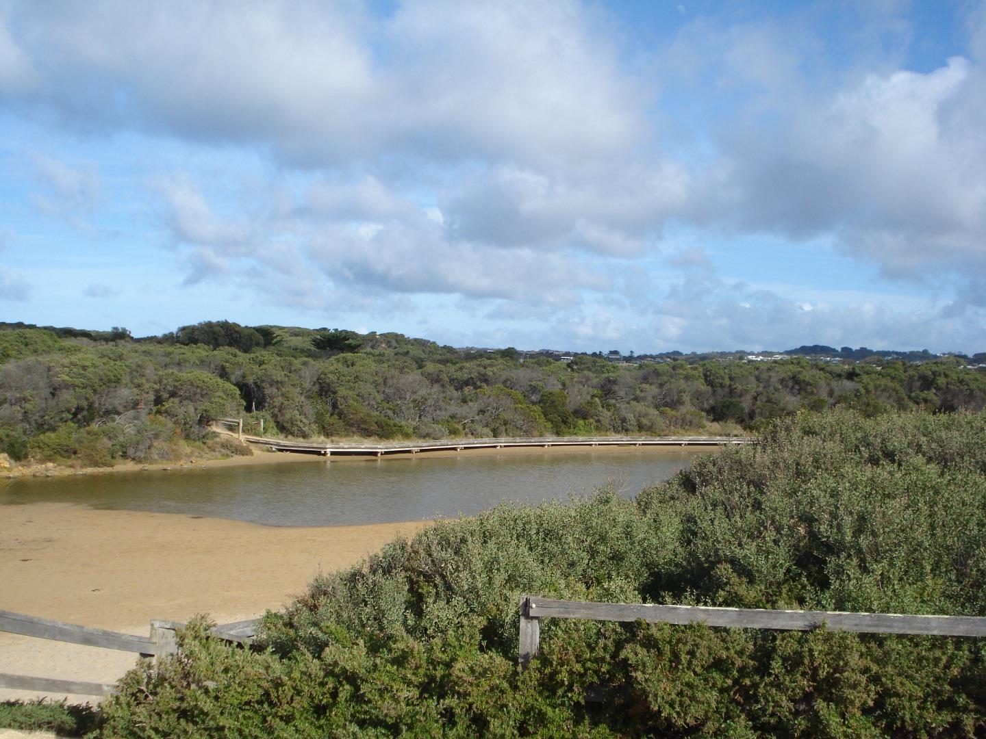
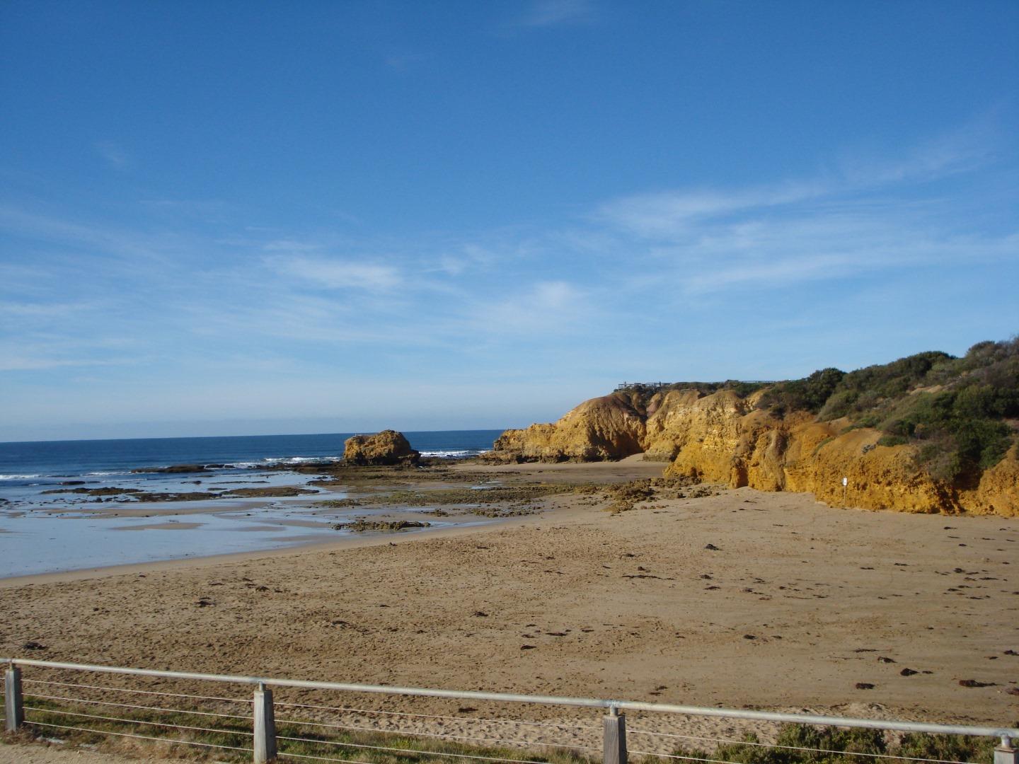
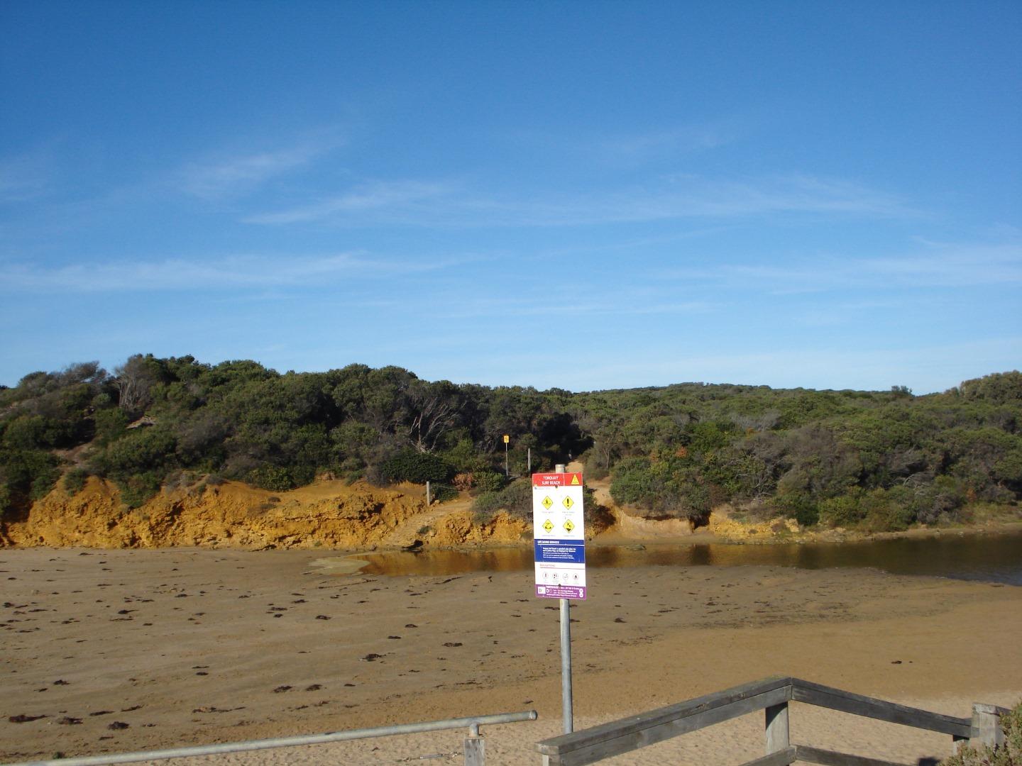
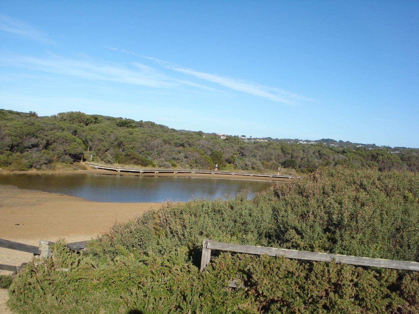
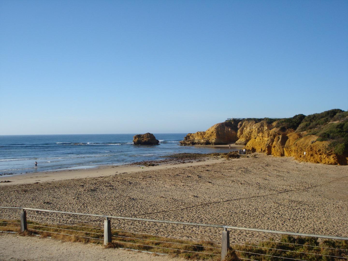
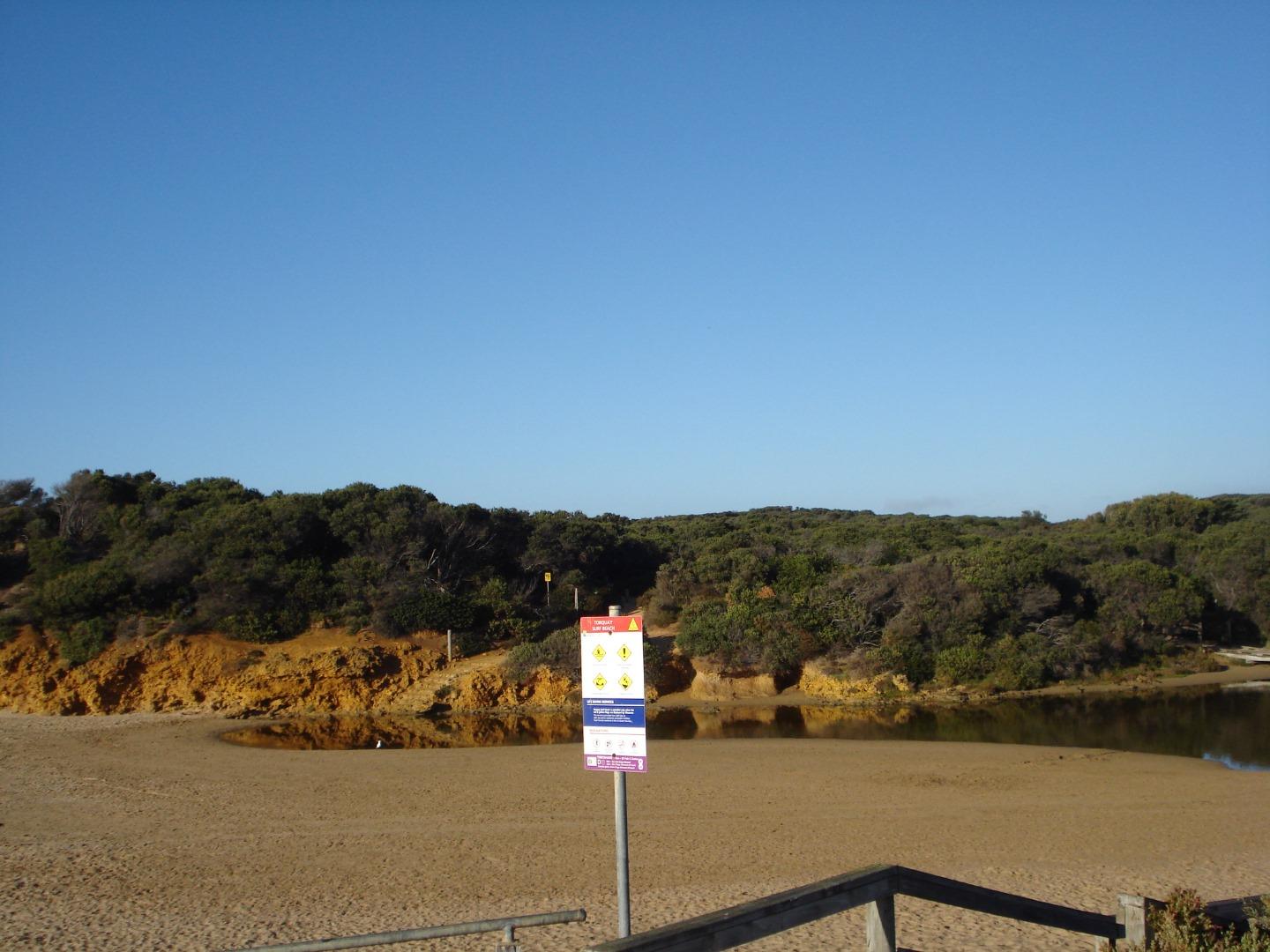
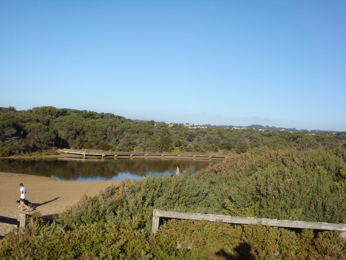
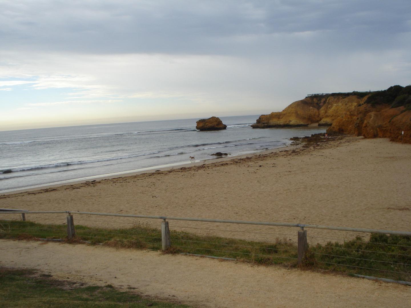
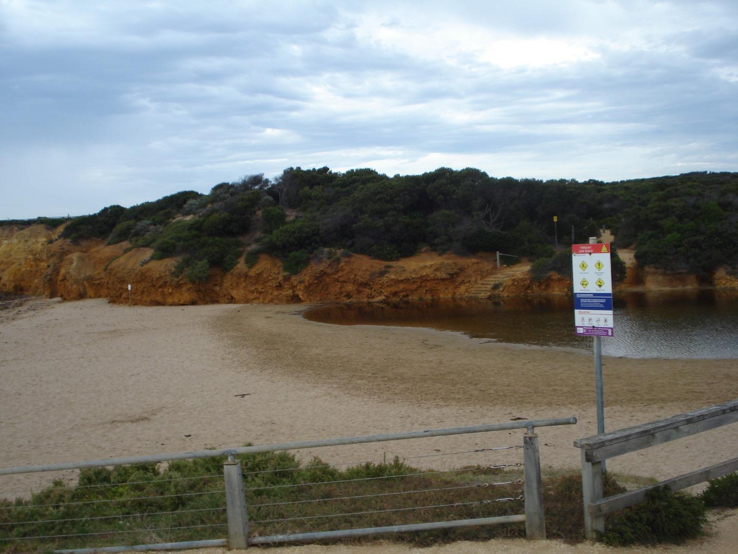
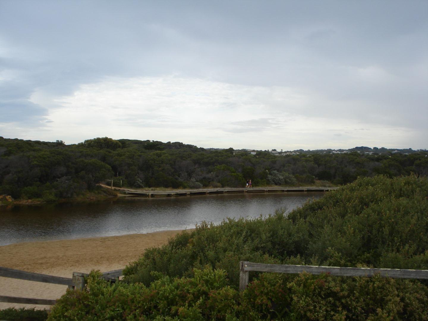
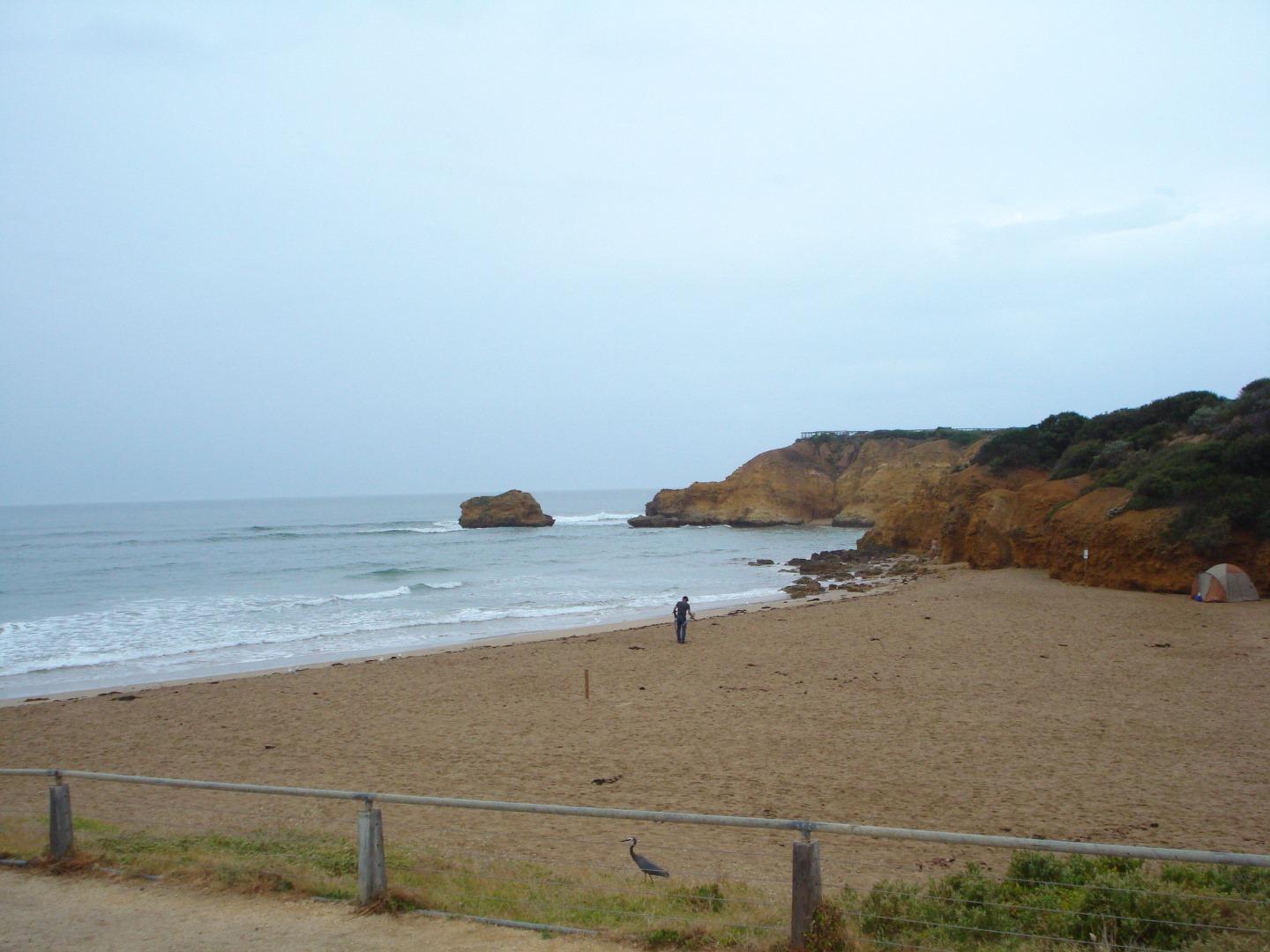
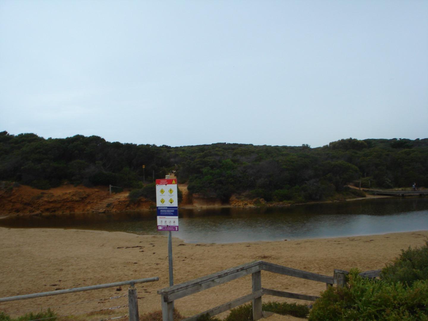
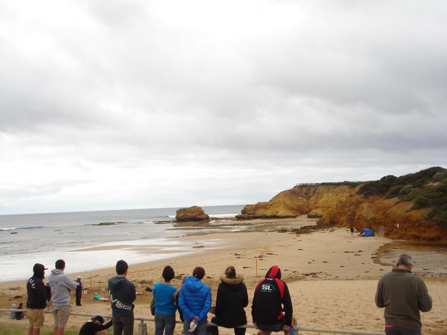
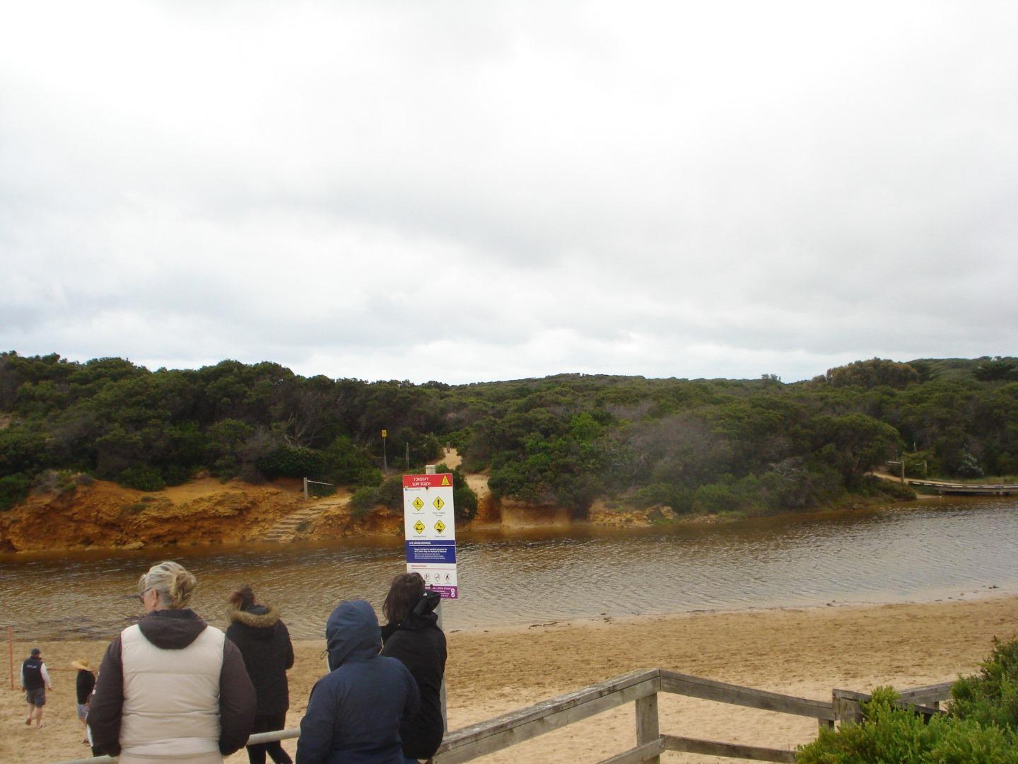
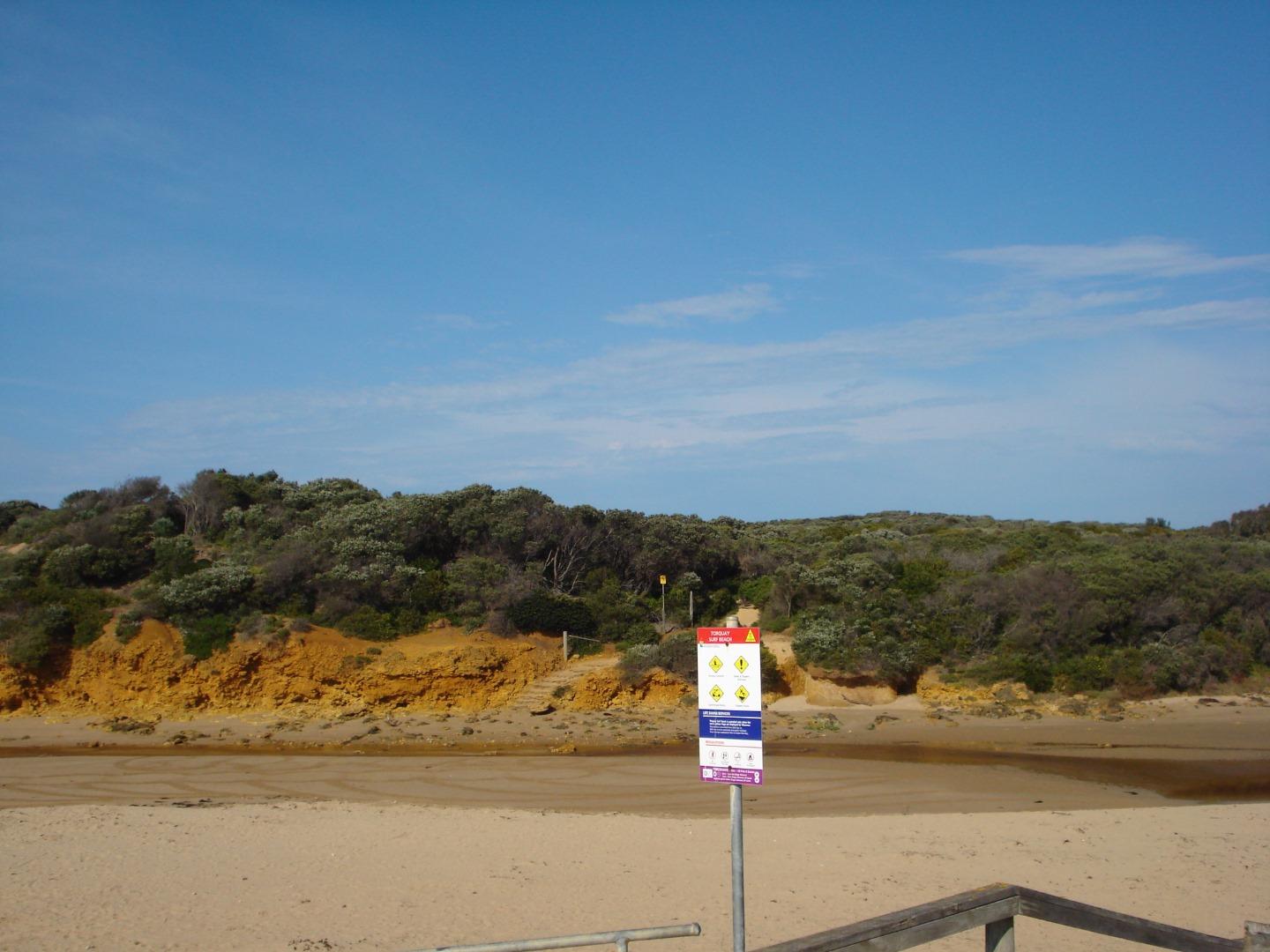
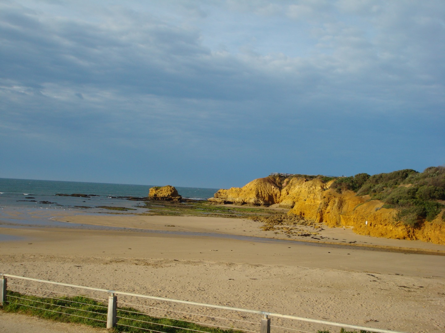
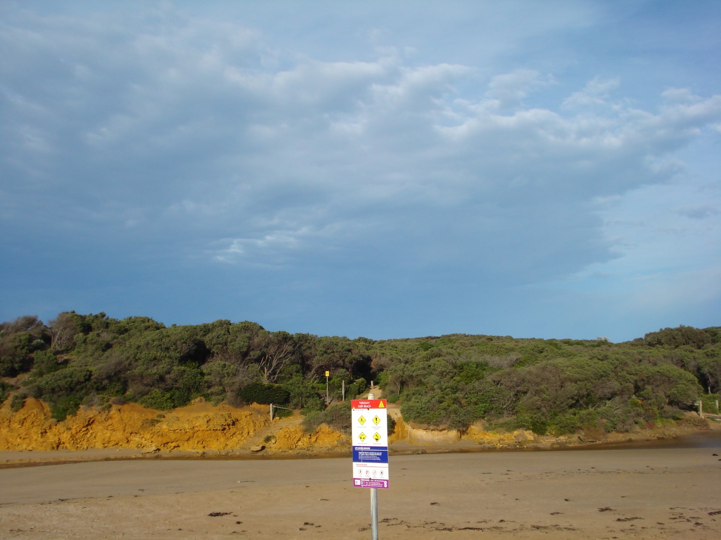
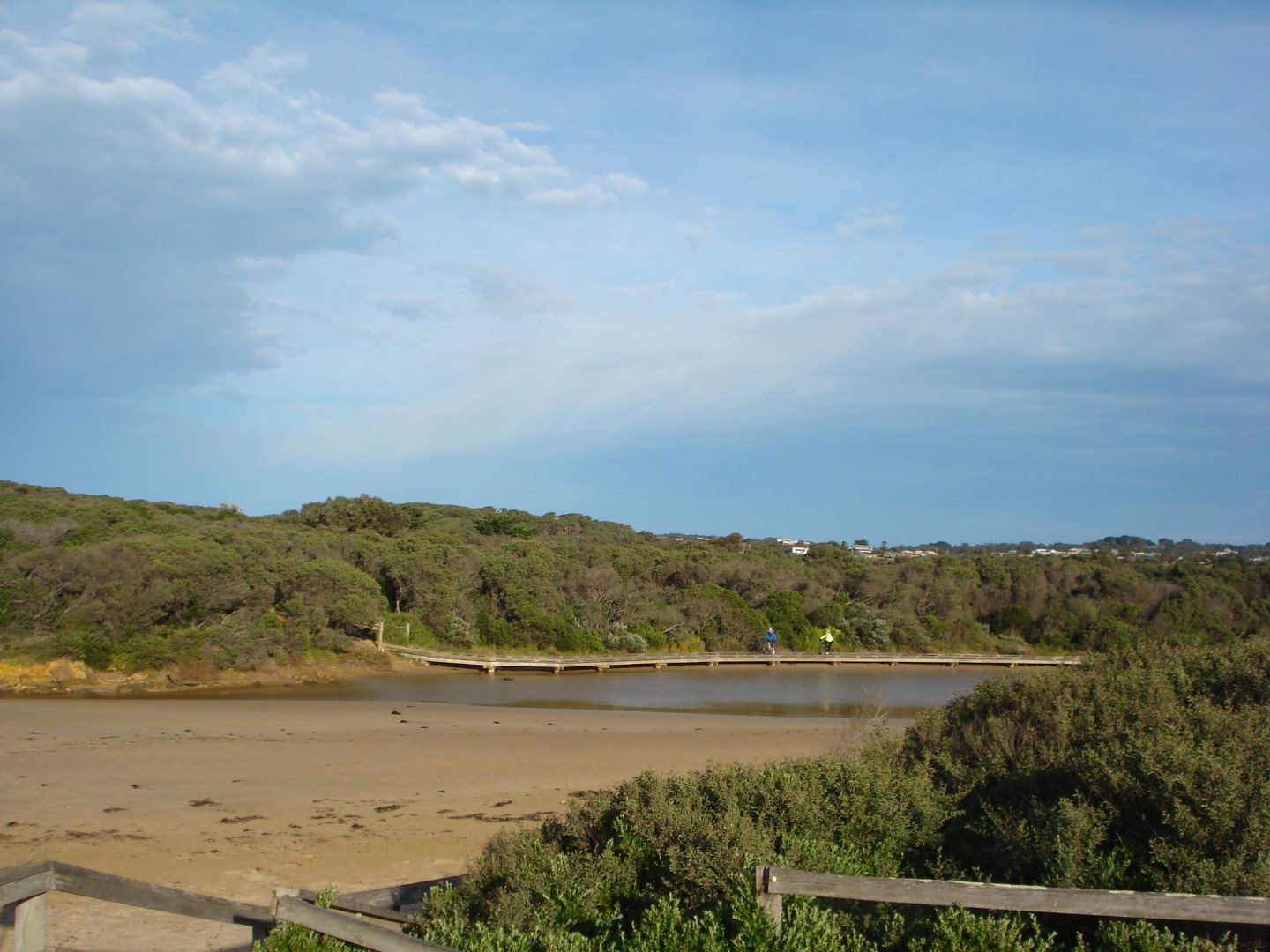
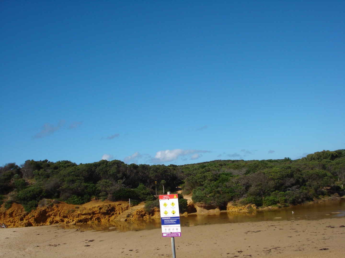
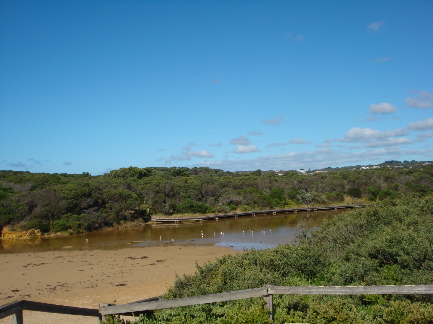
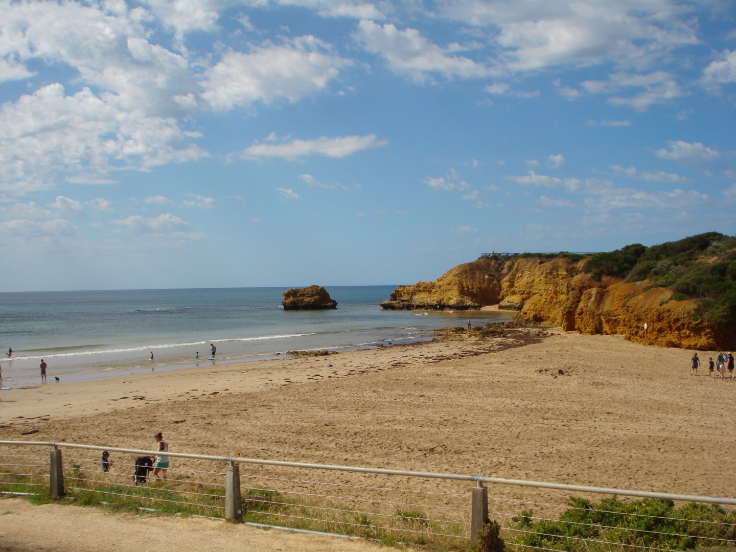
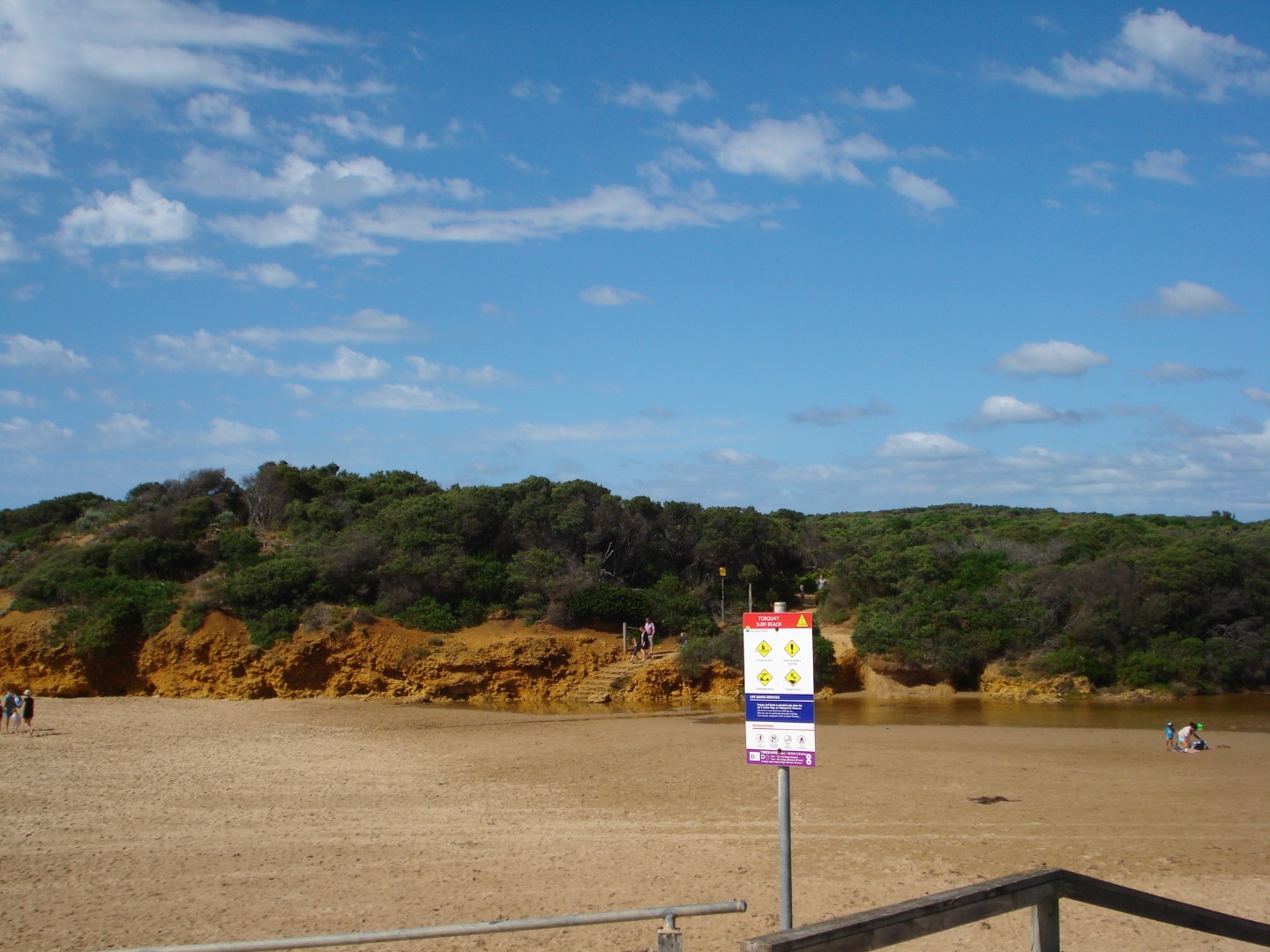
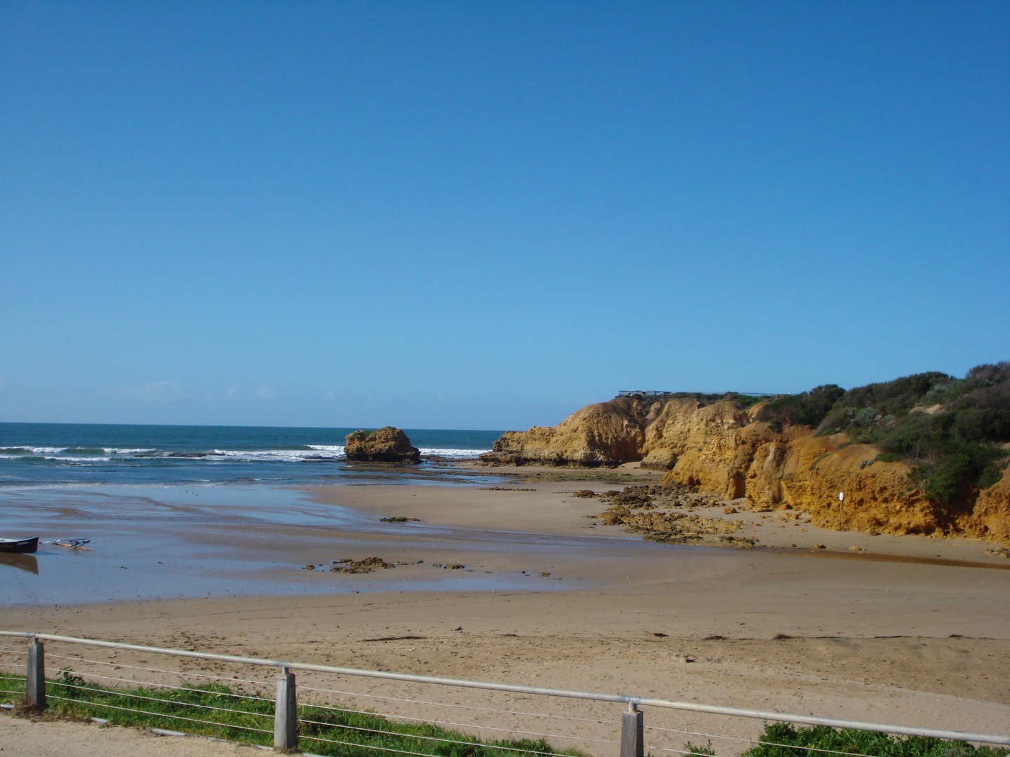
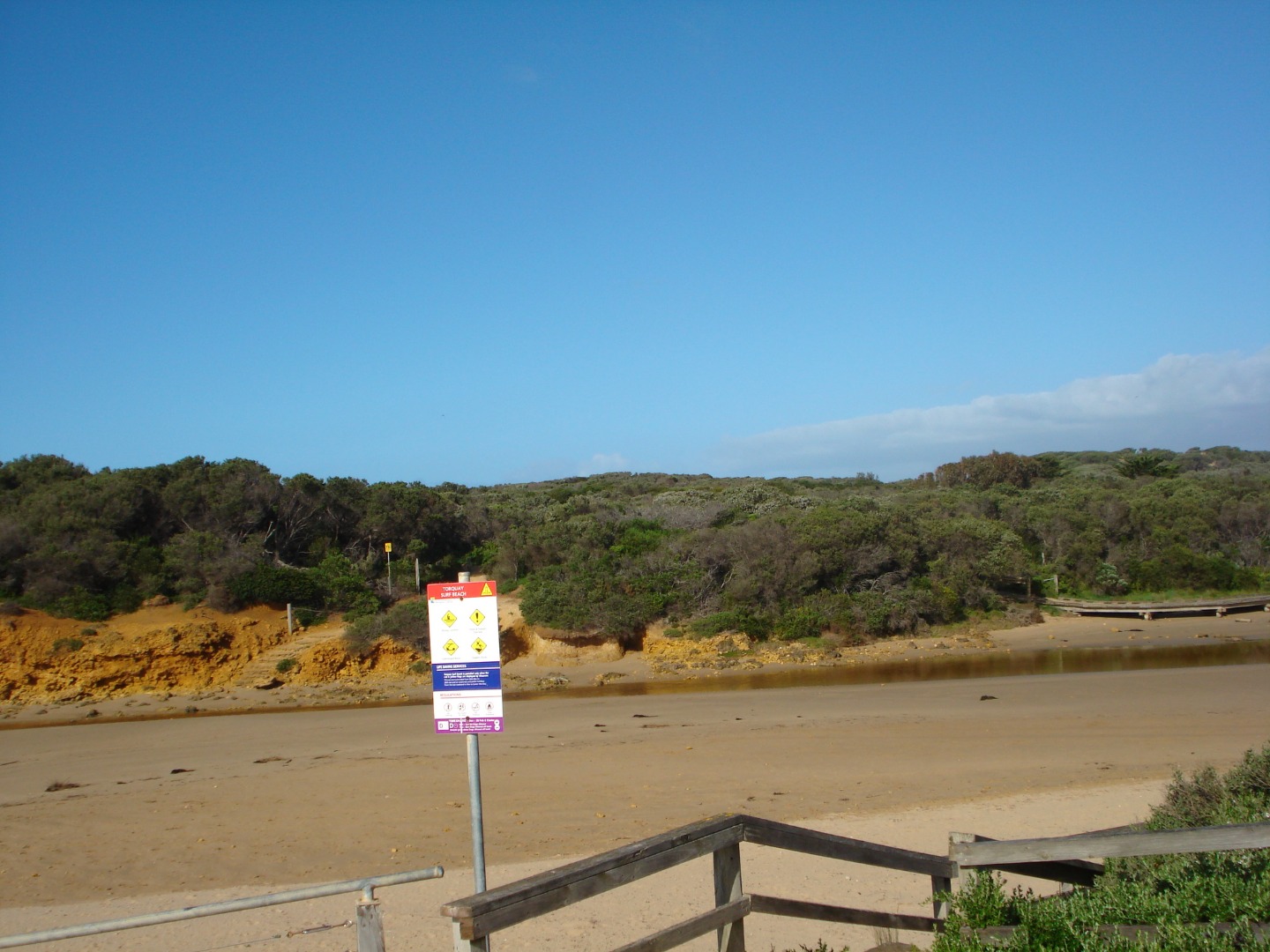
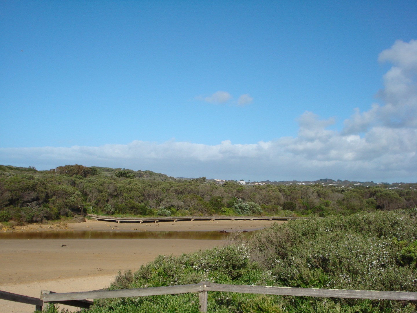
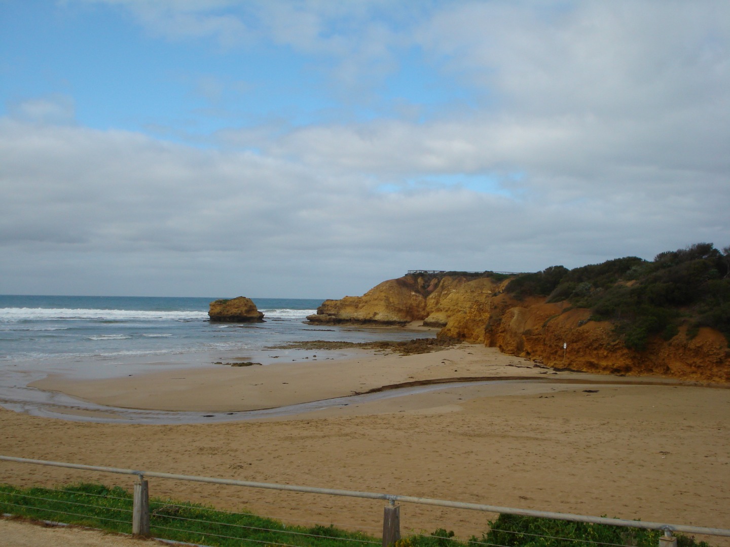
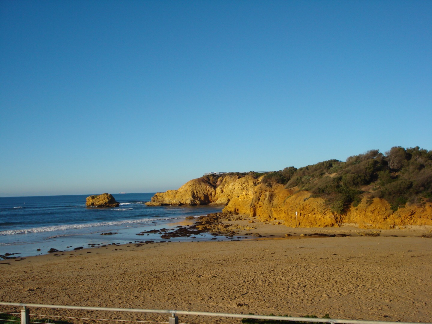
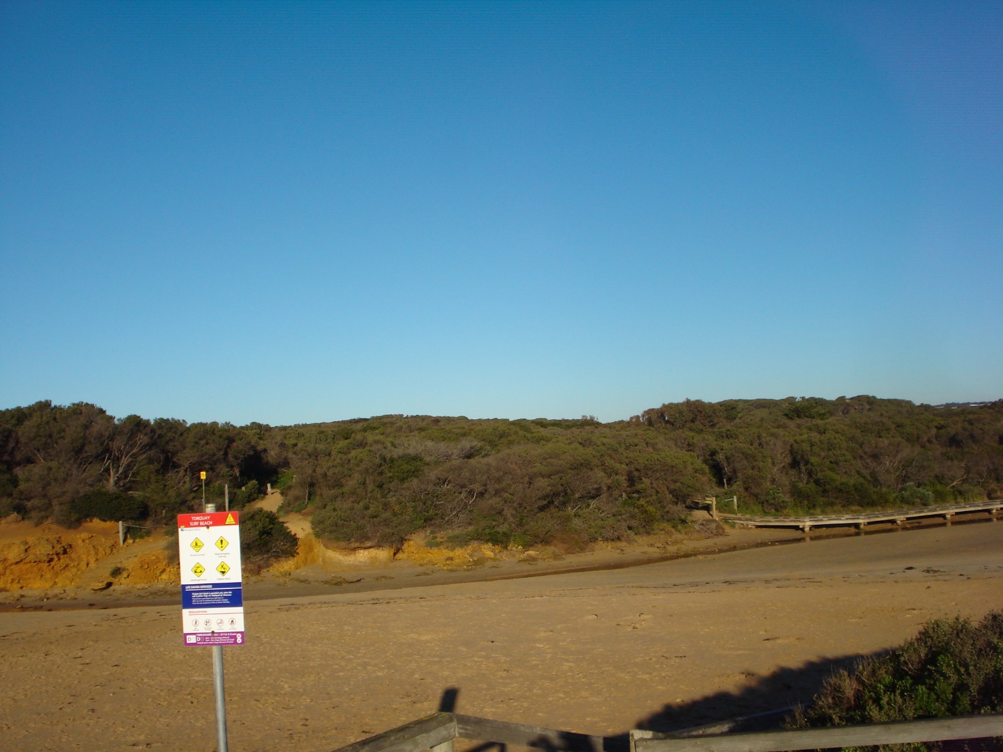
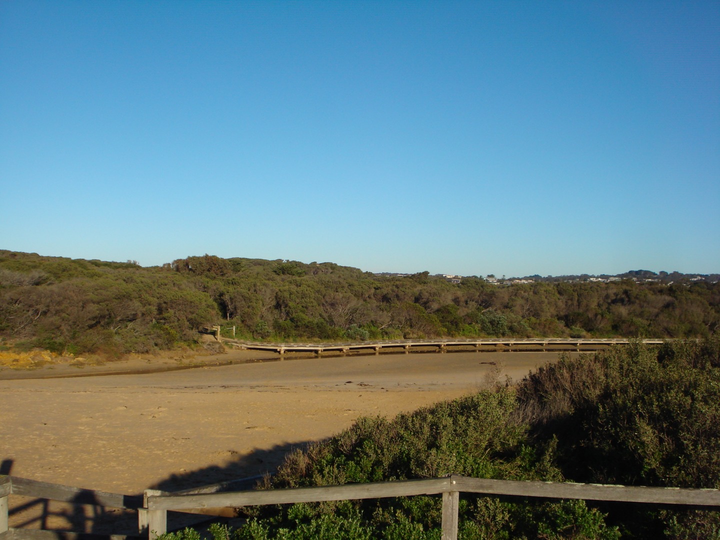
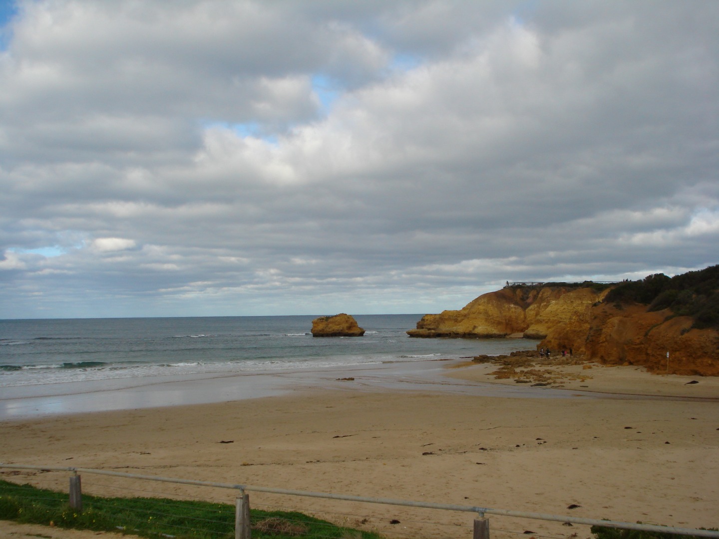
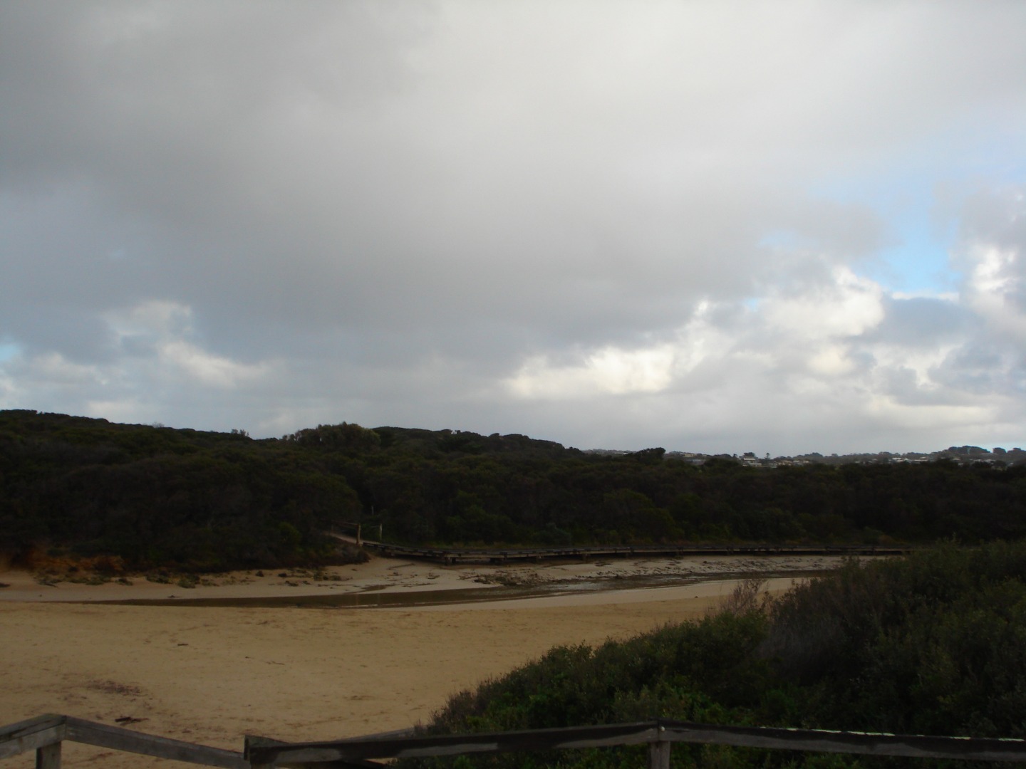
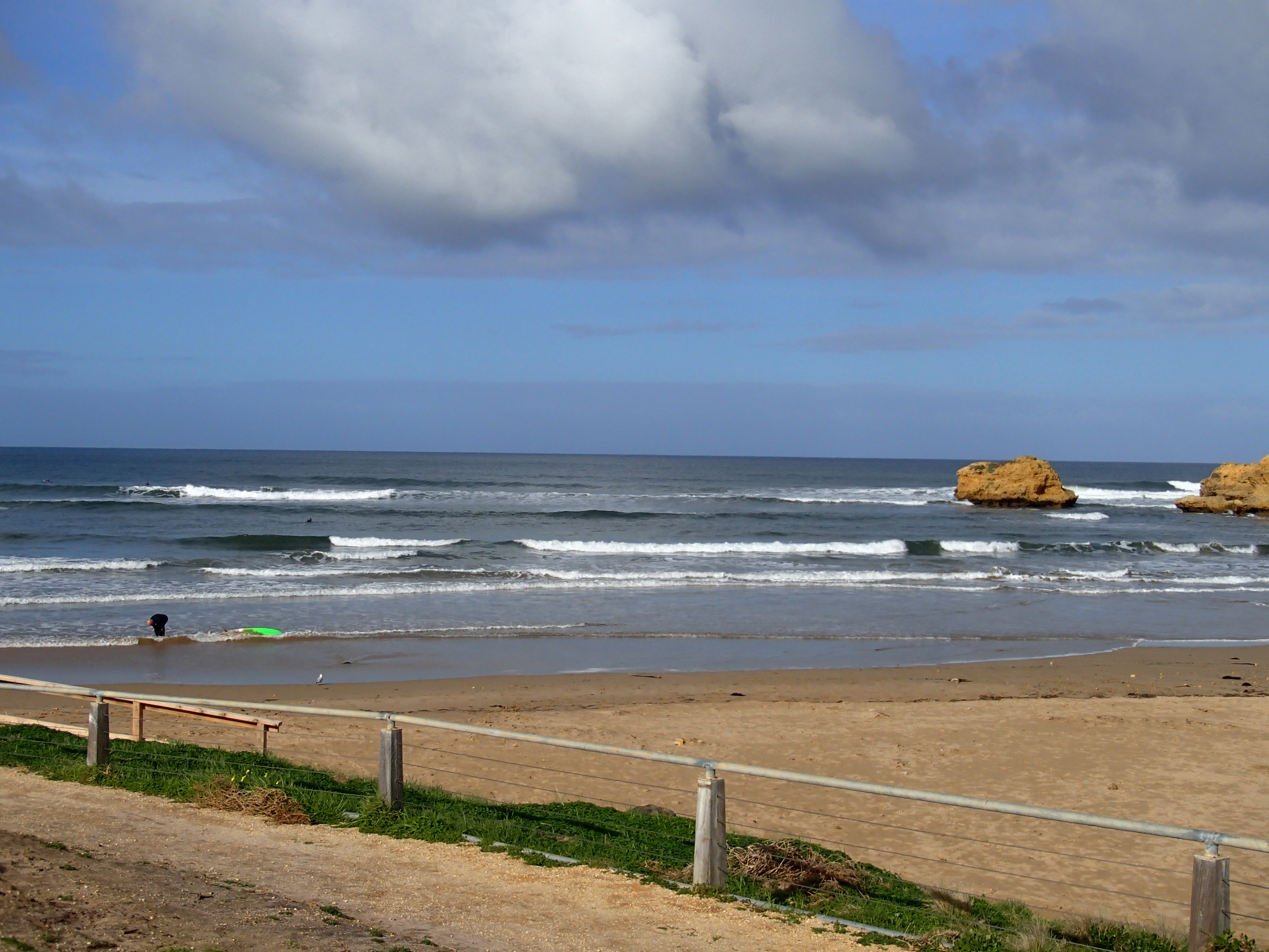
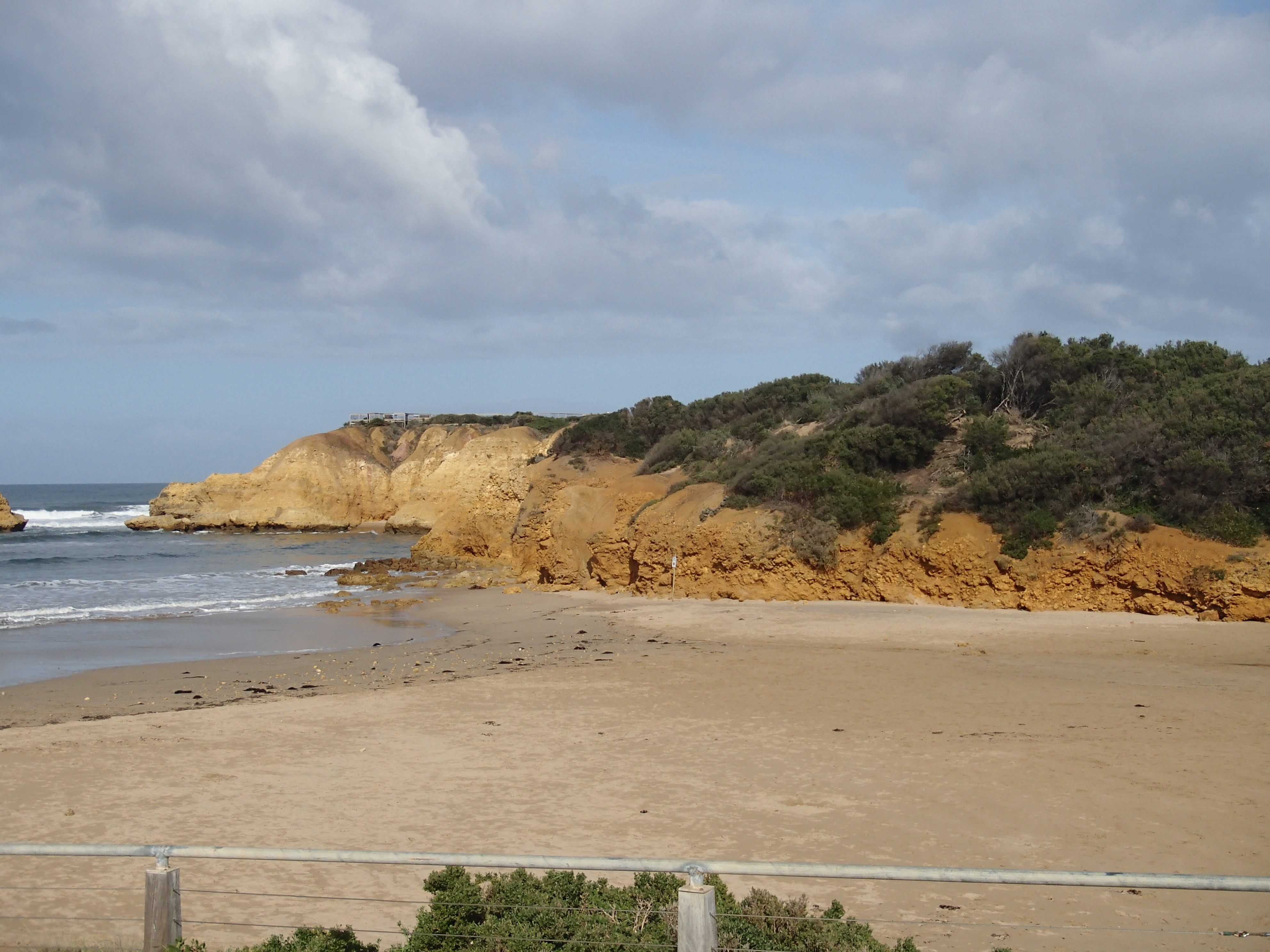
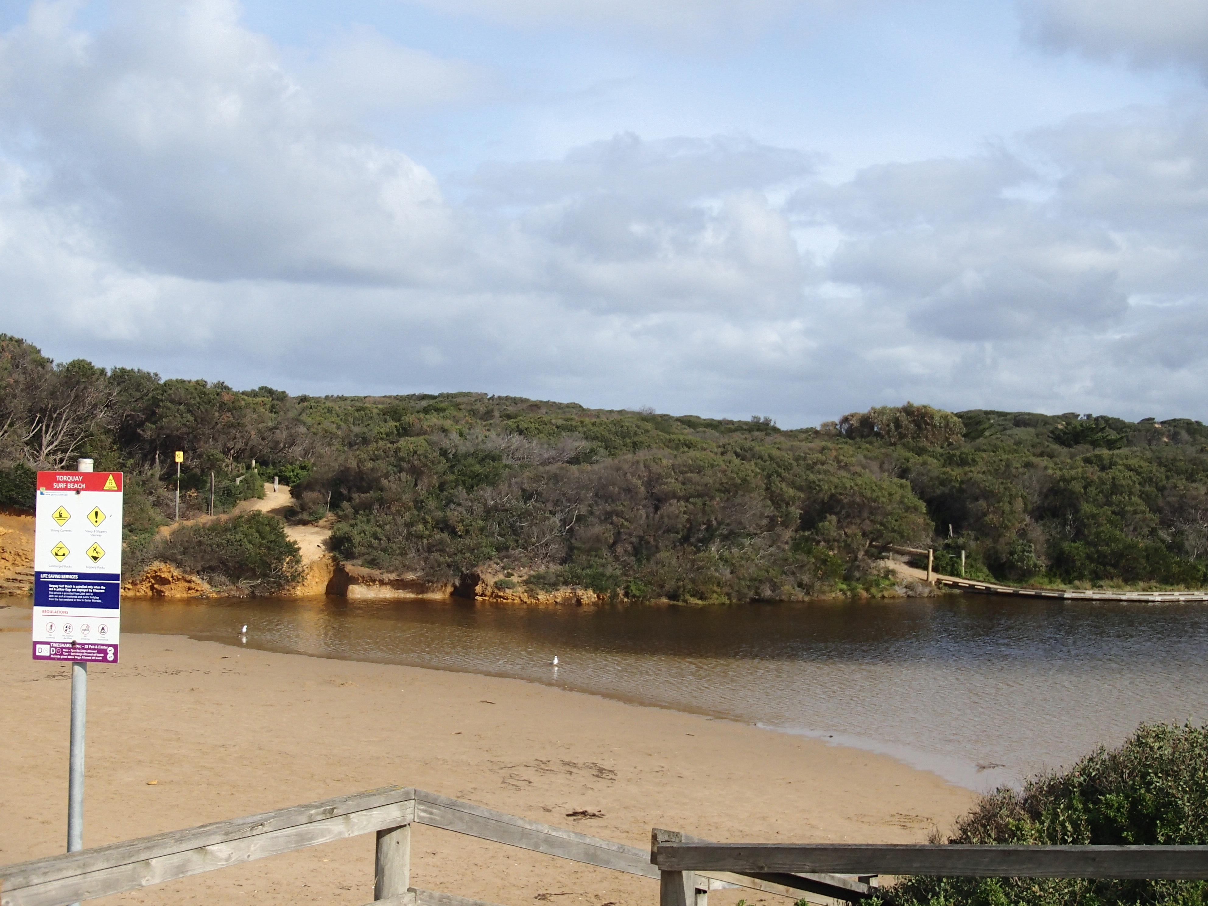
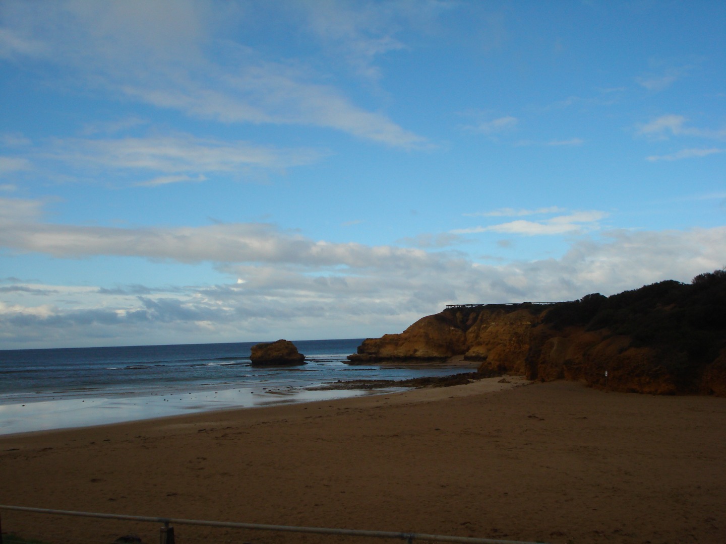
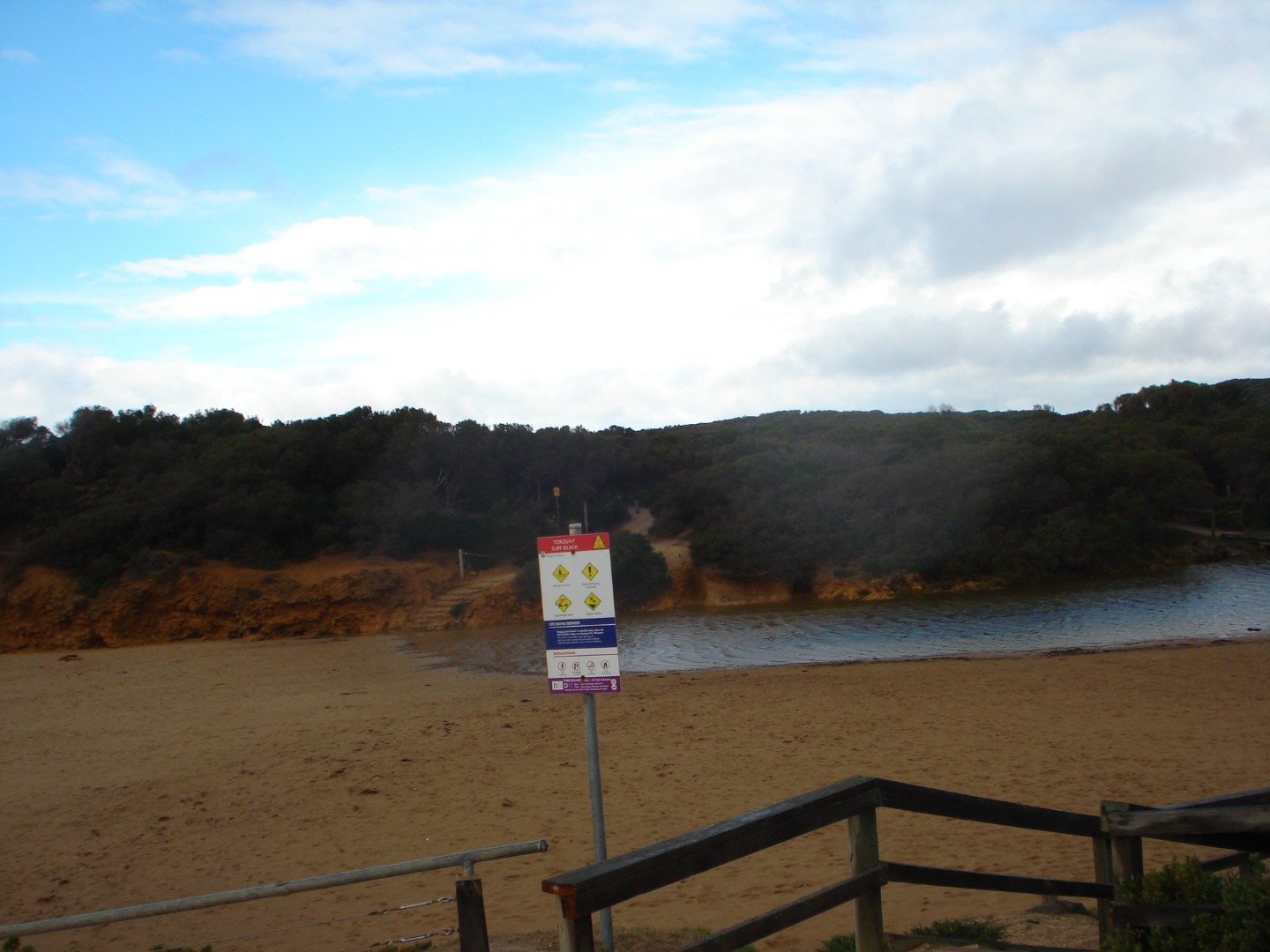
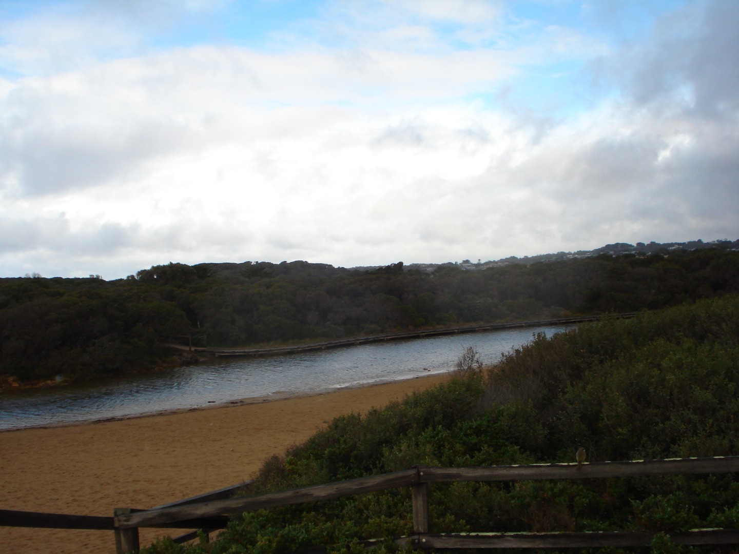
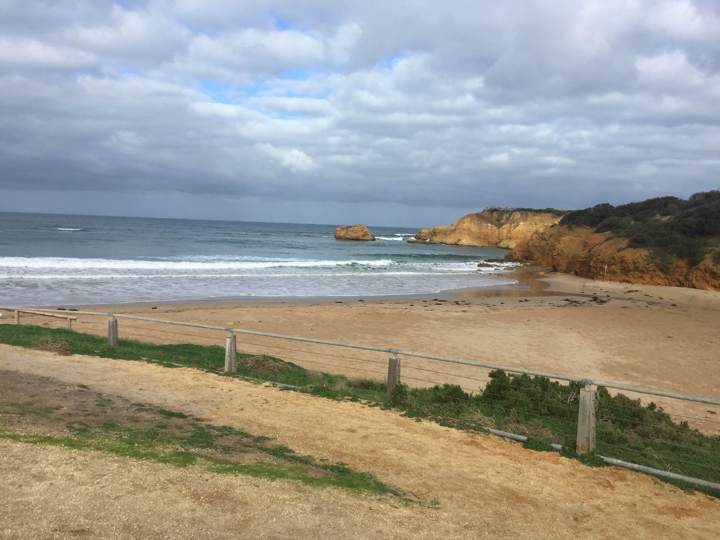
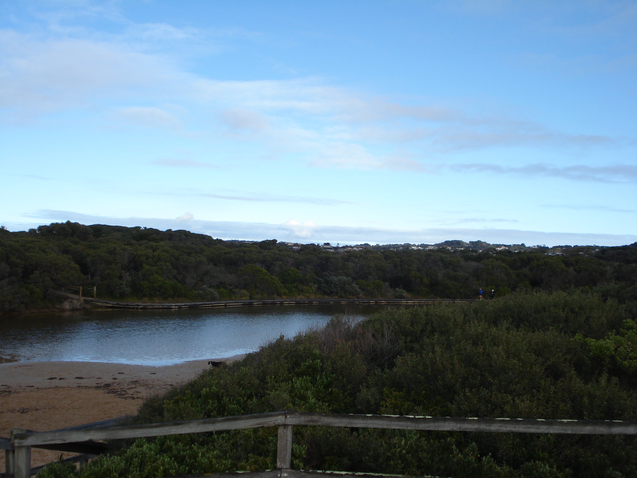
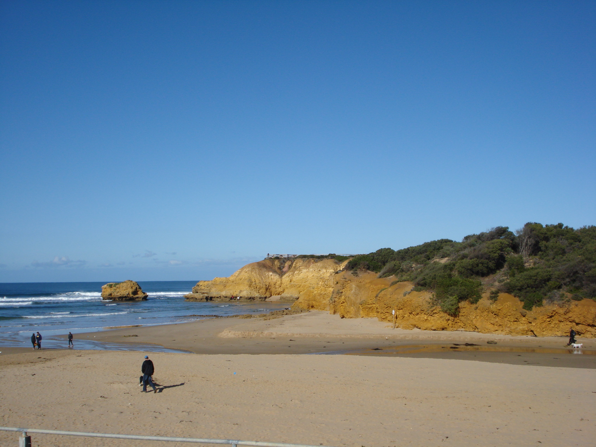
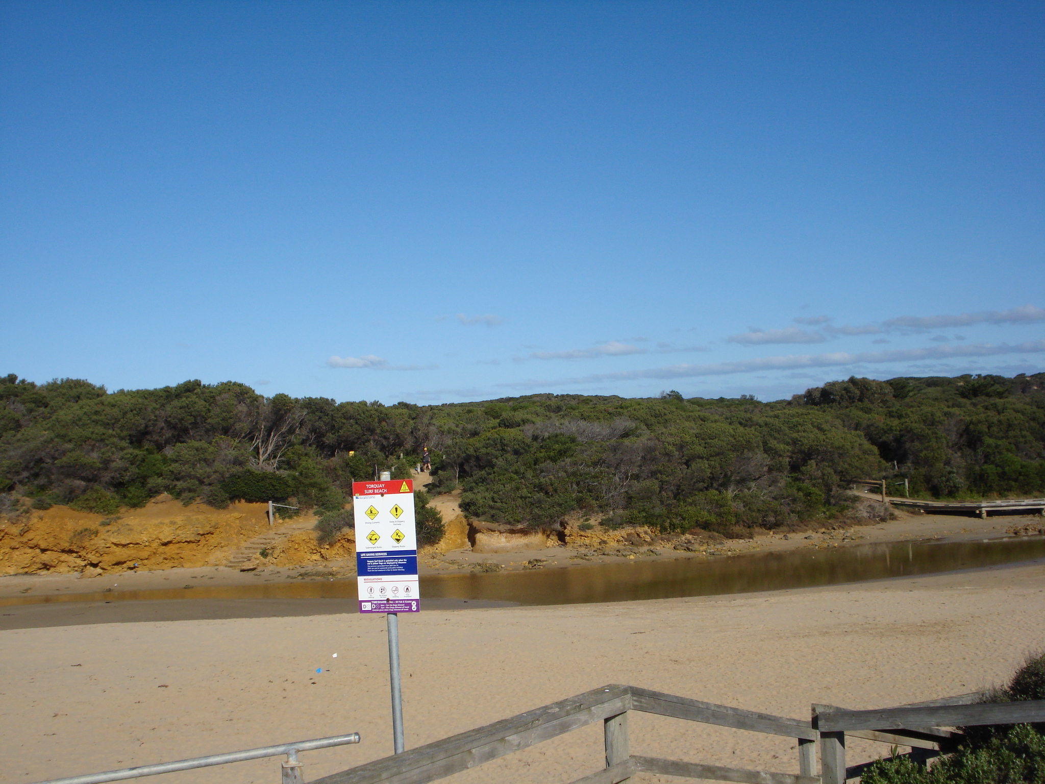
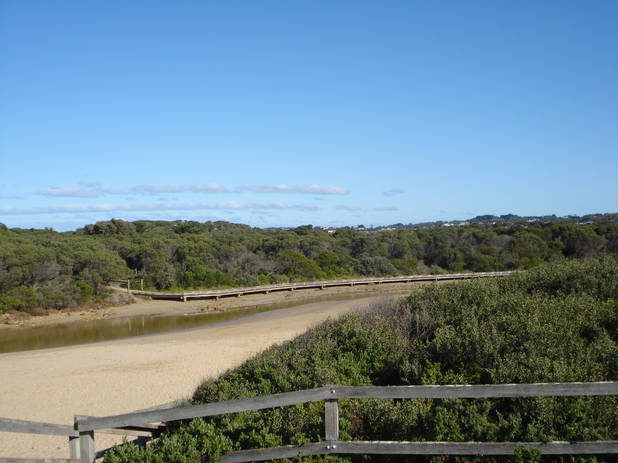
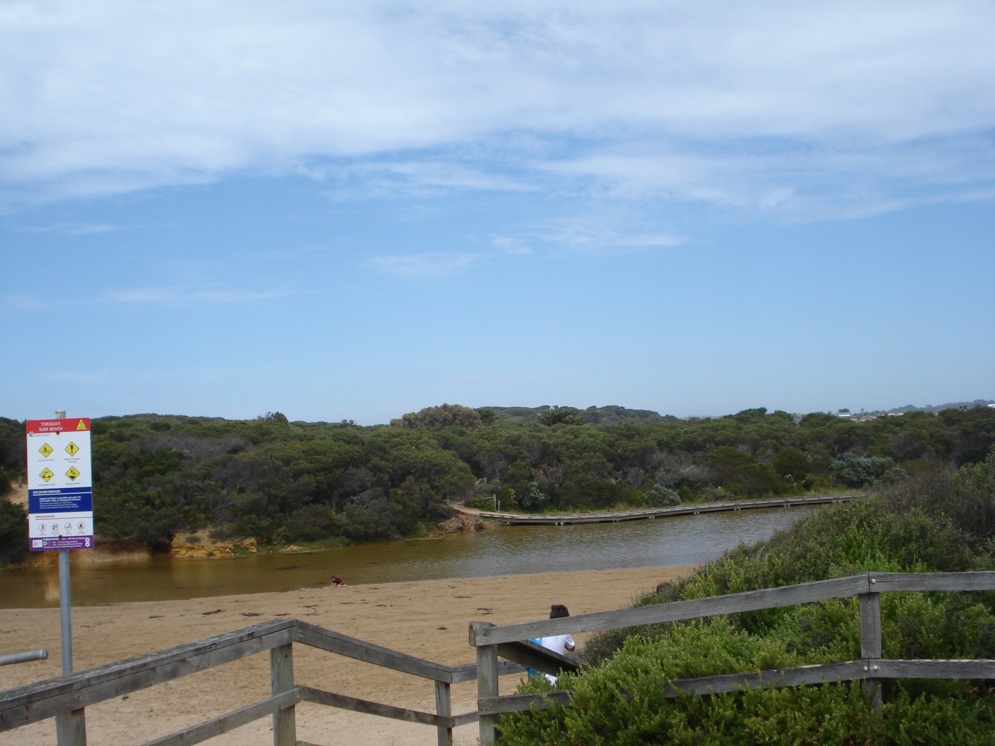
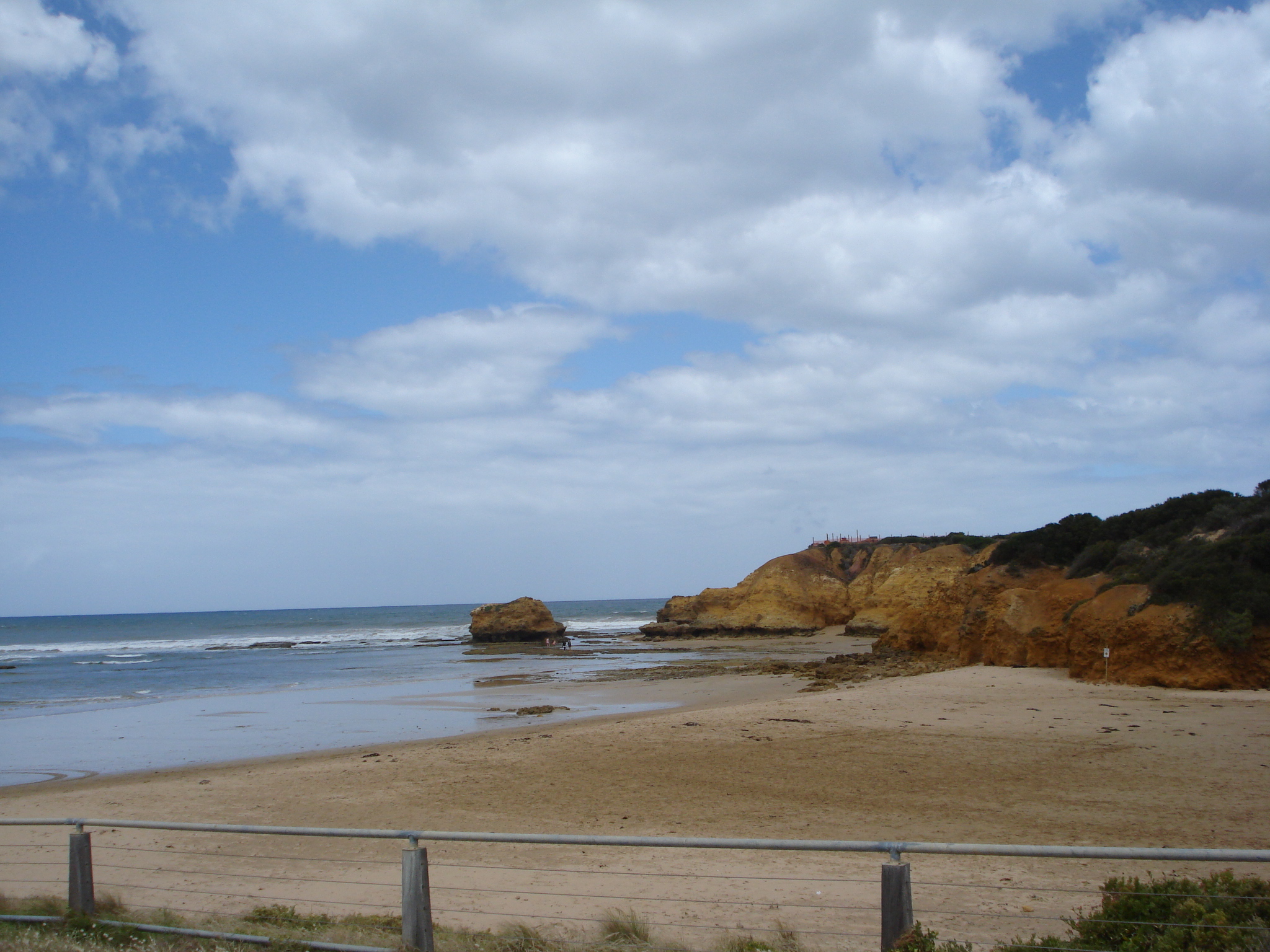
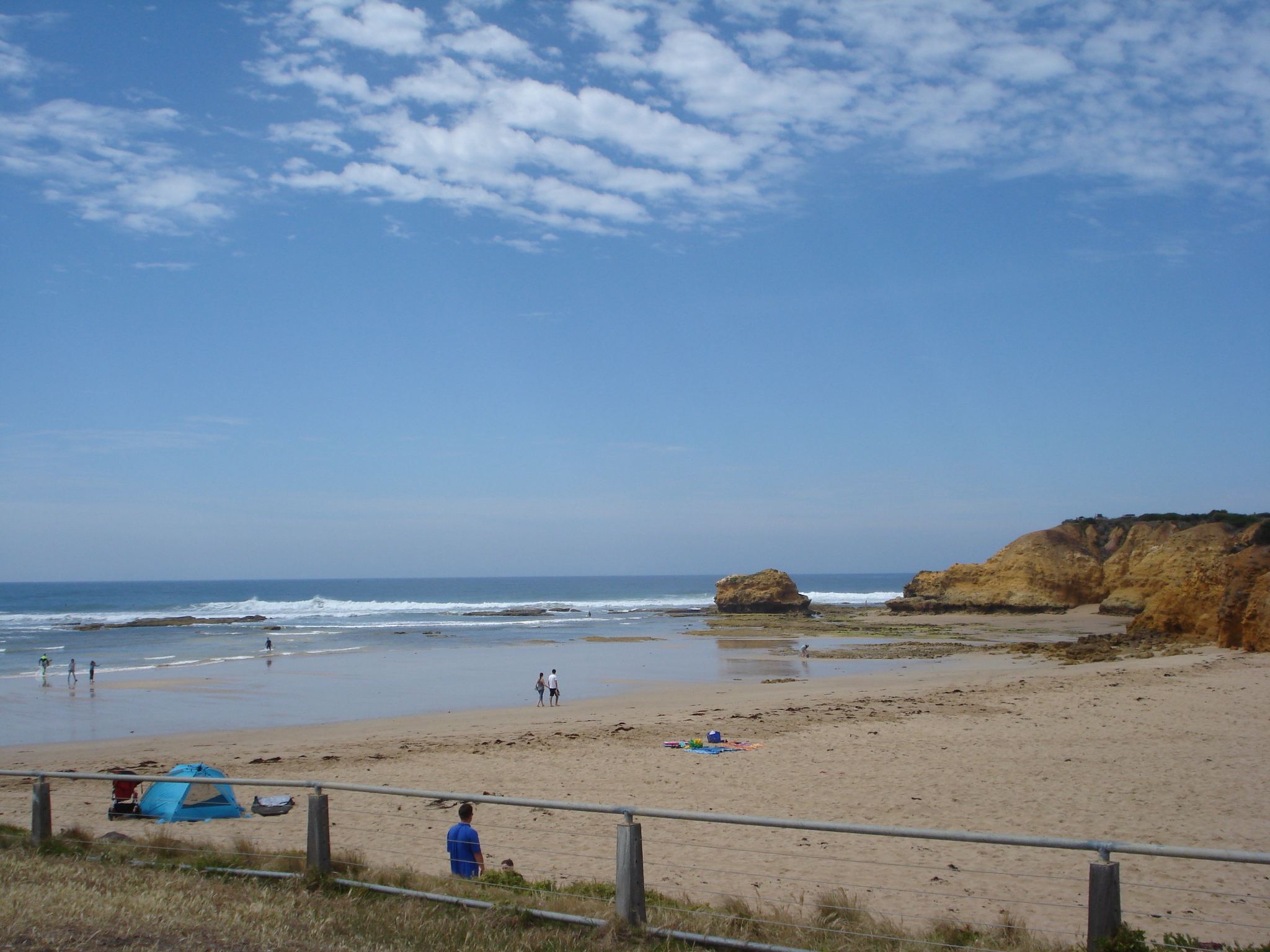
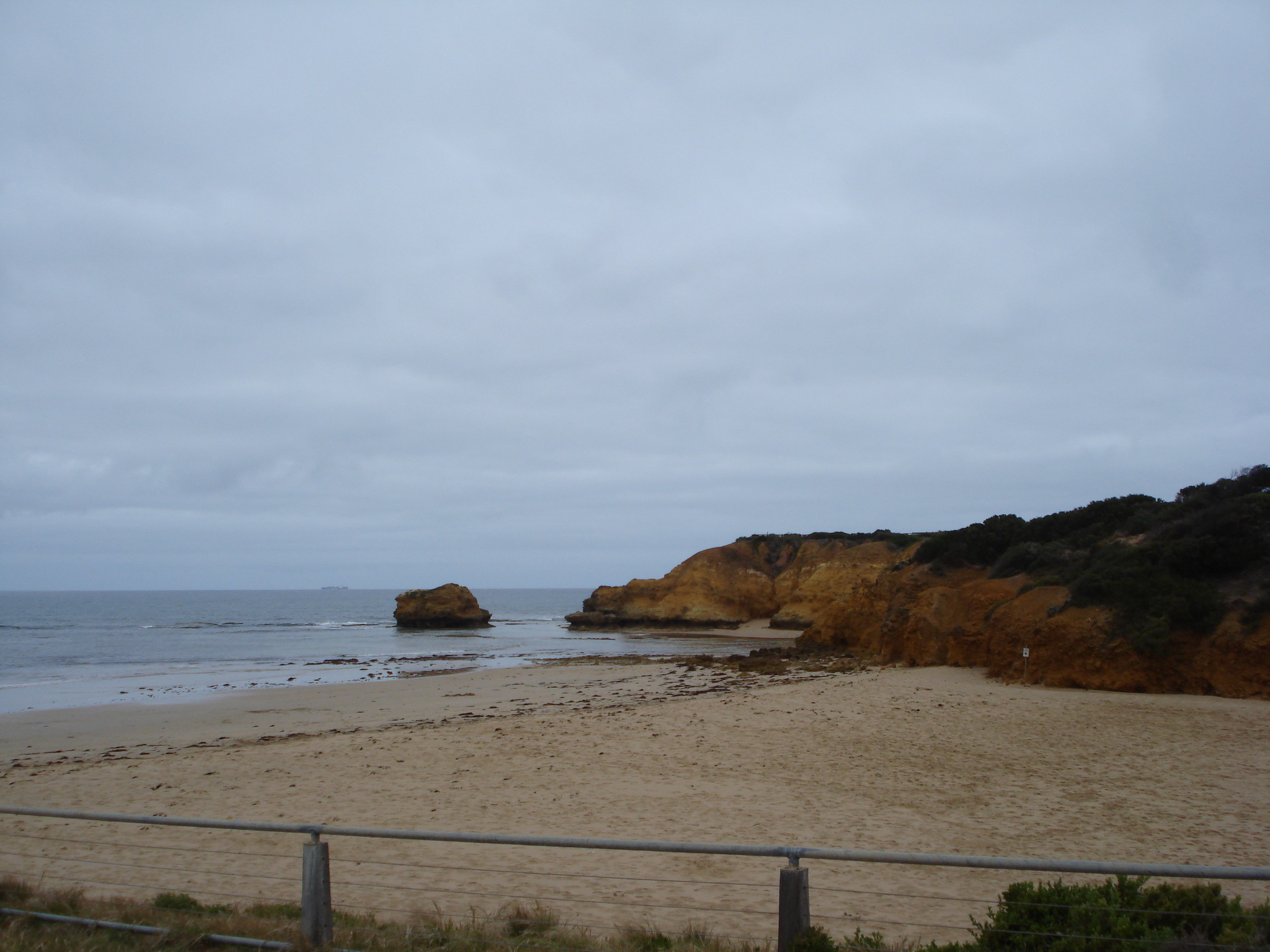
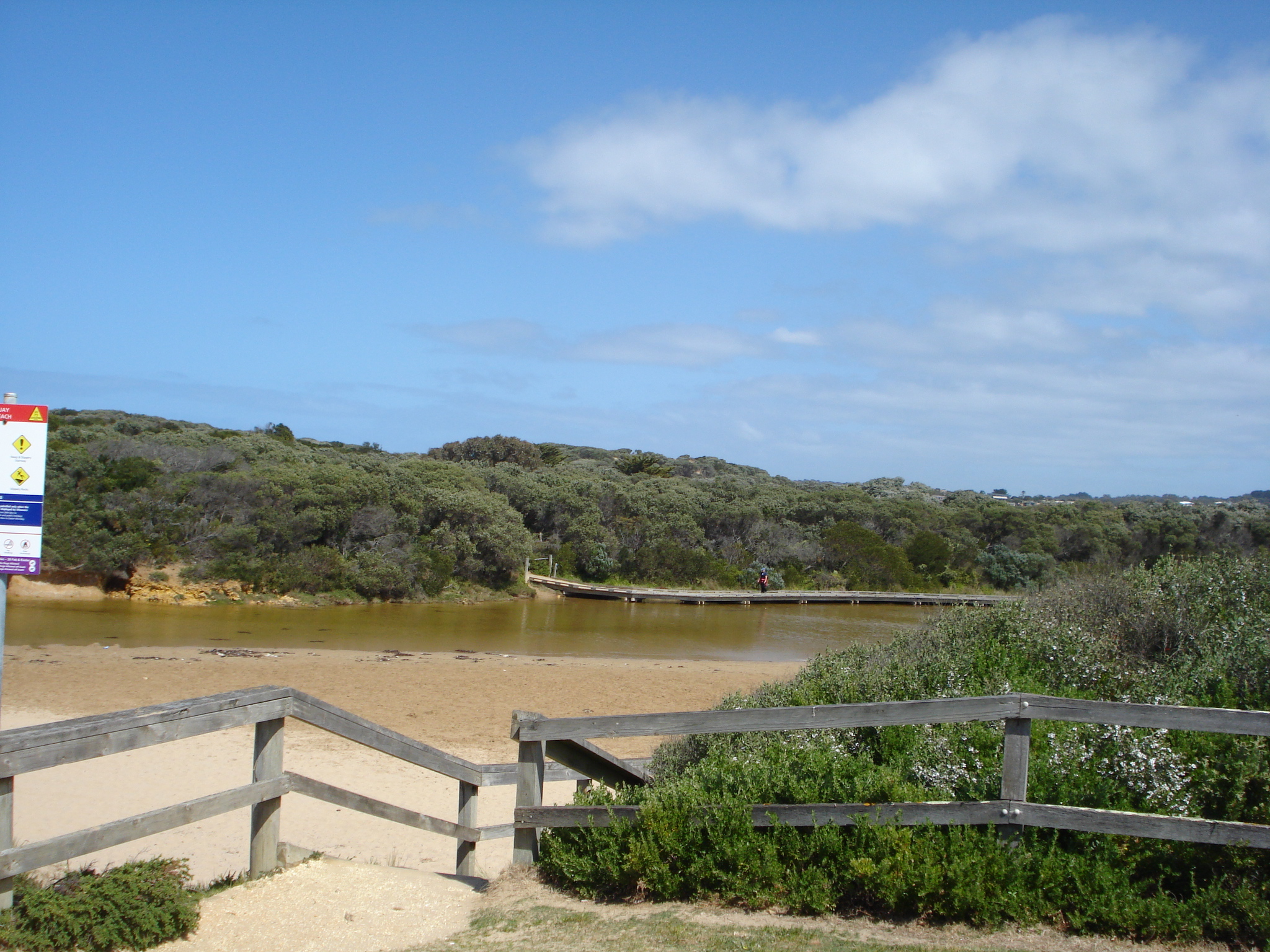
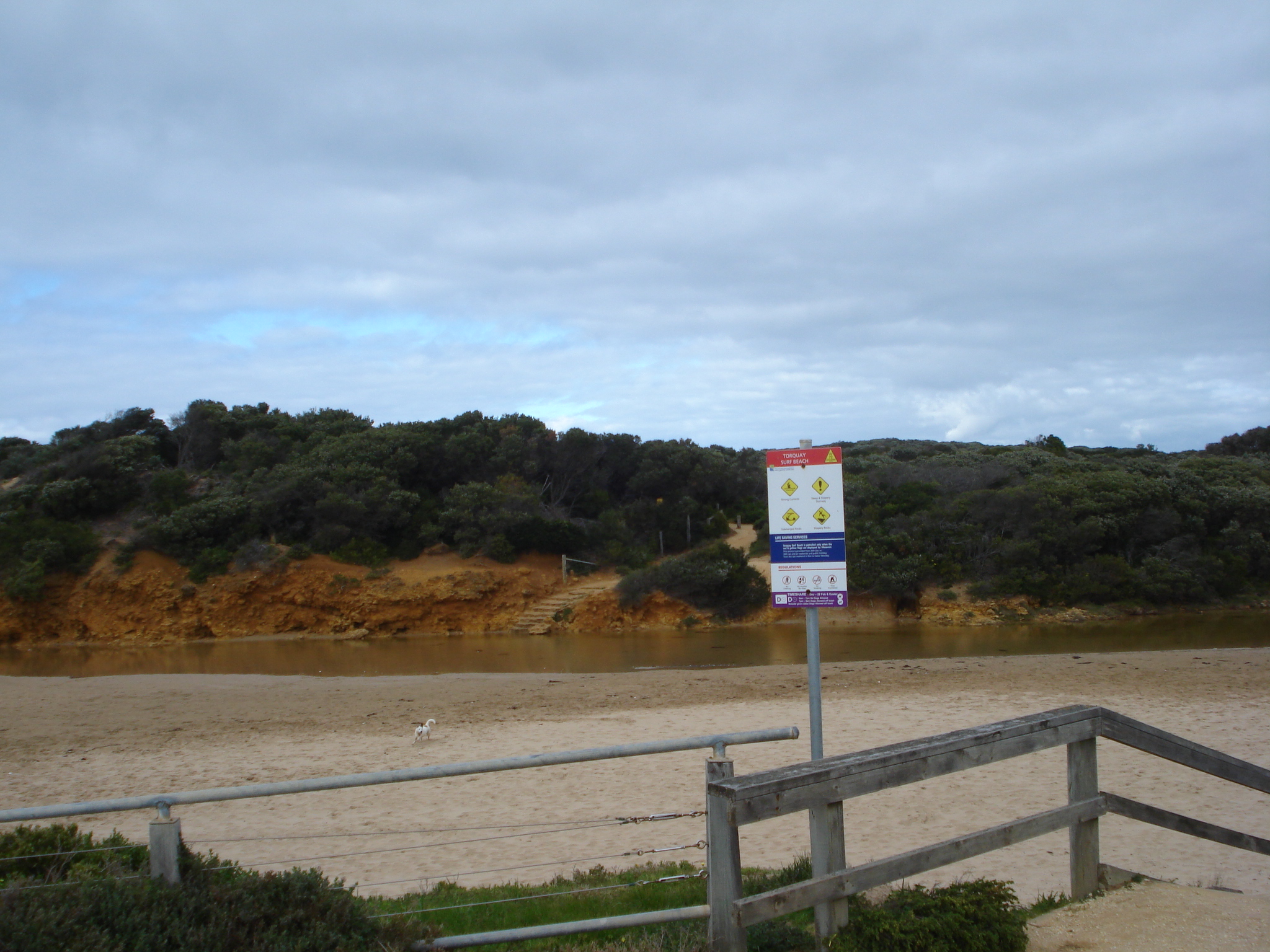
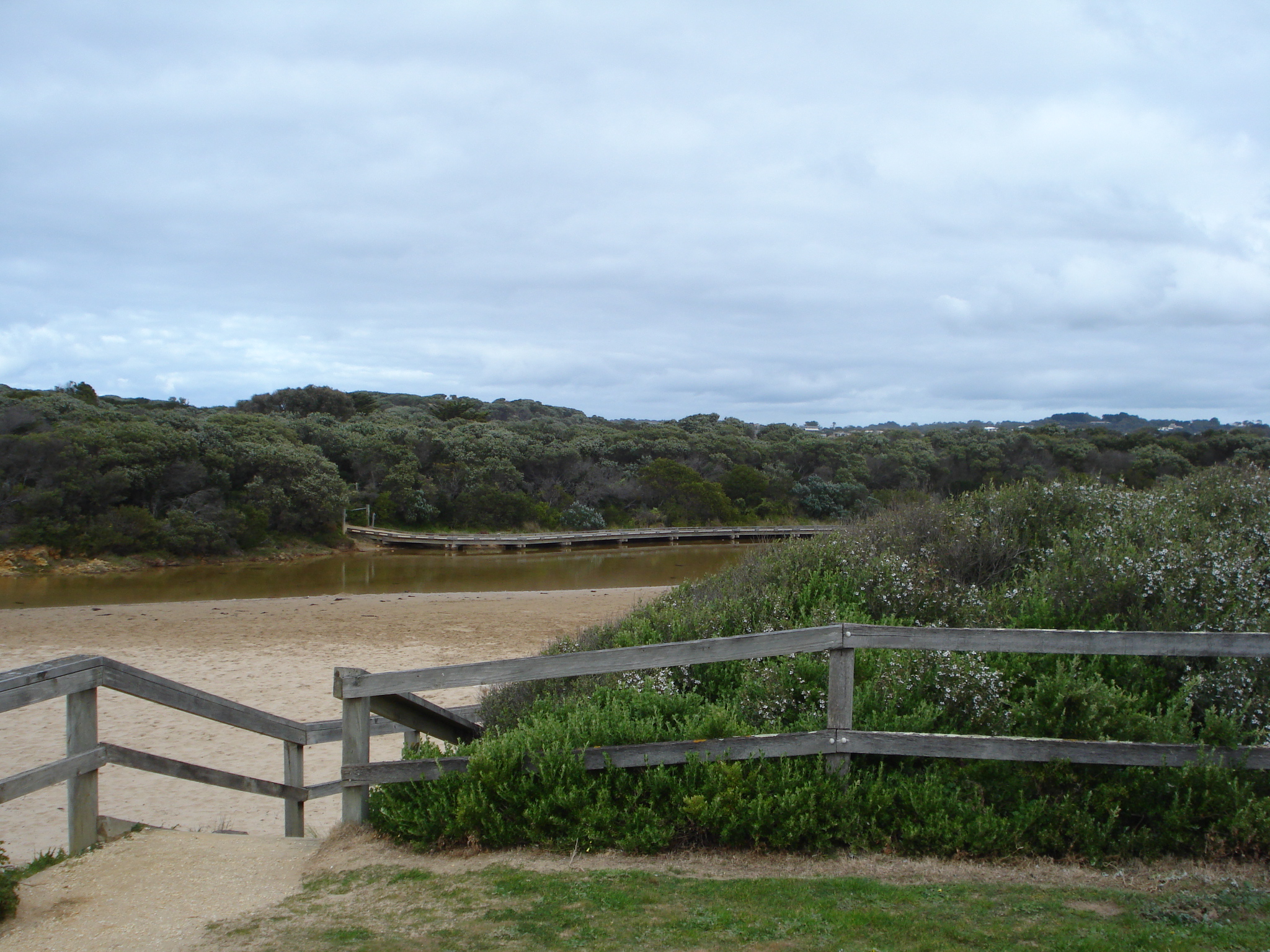
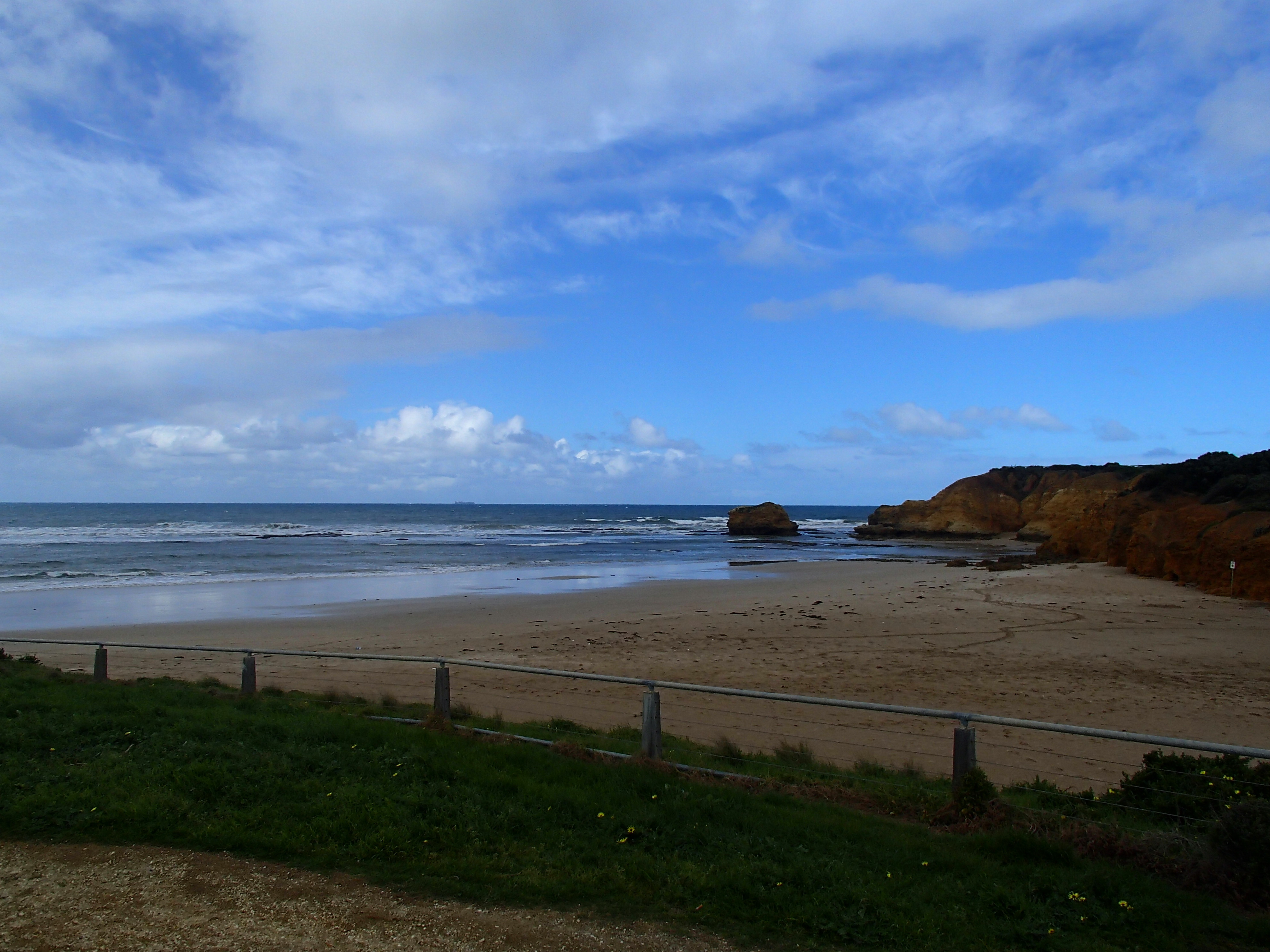
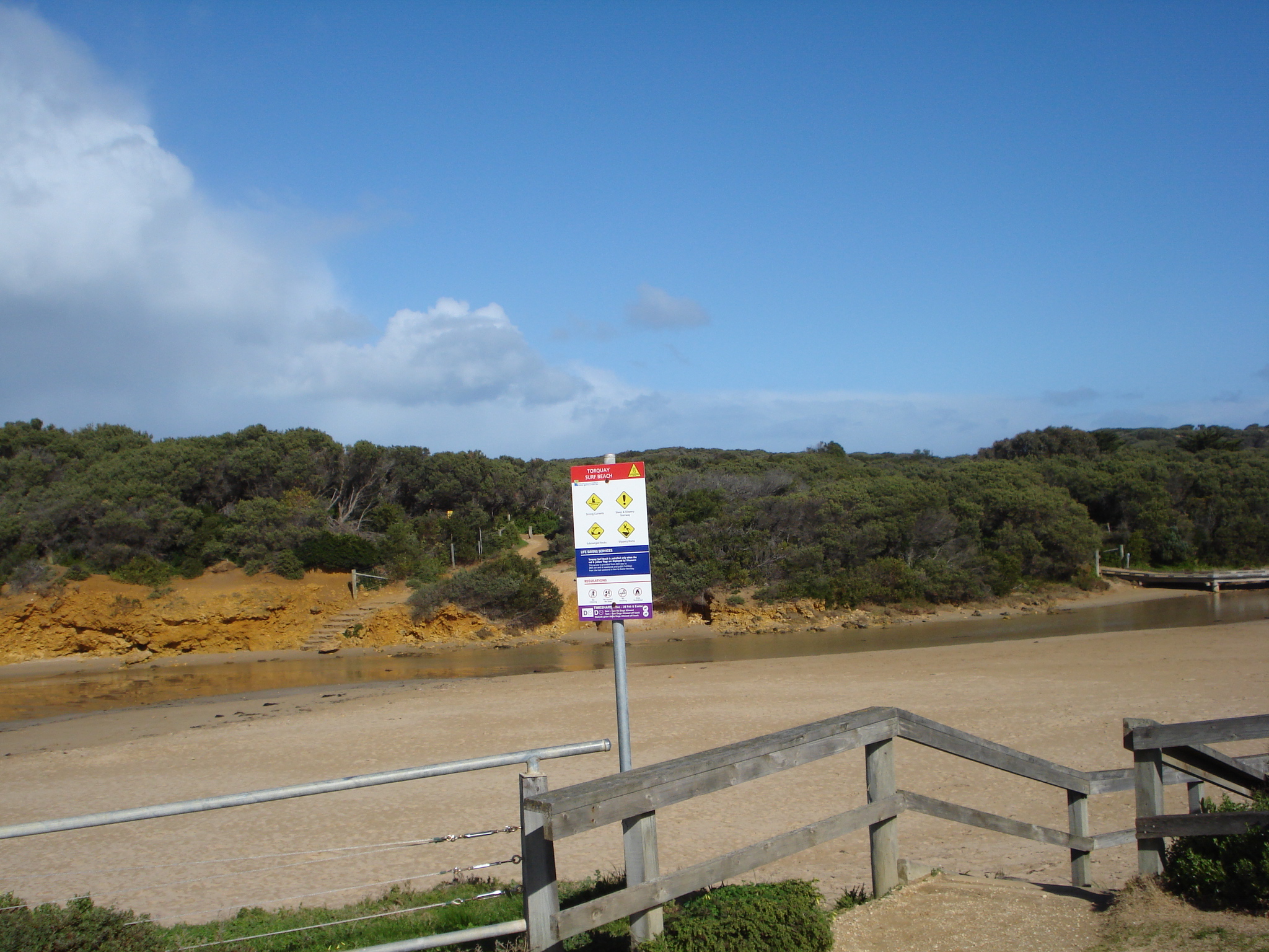
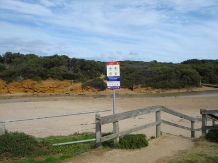
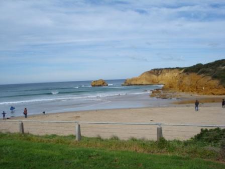
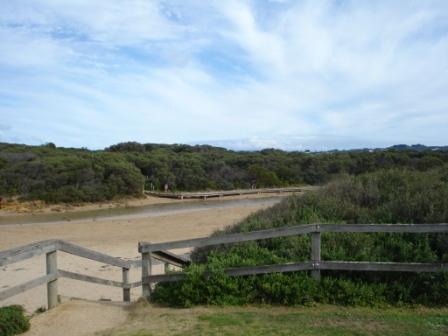
EstuaryWatch Data Portal
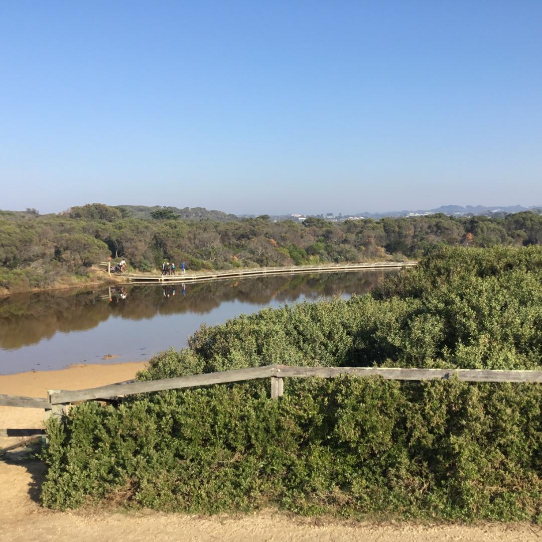
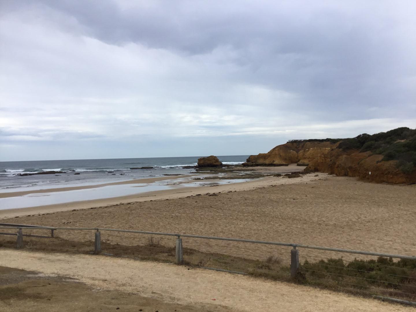
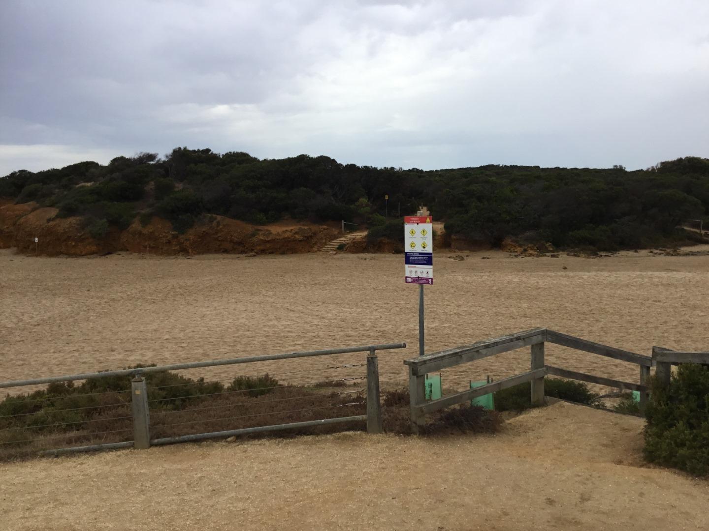
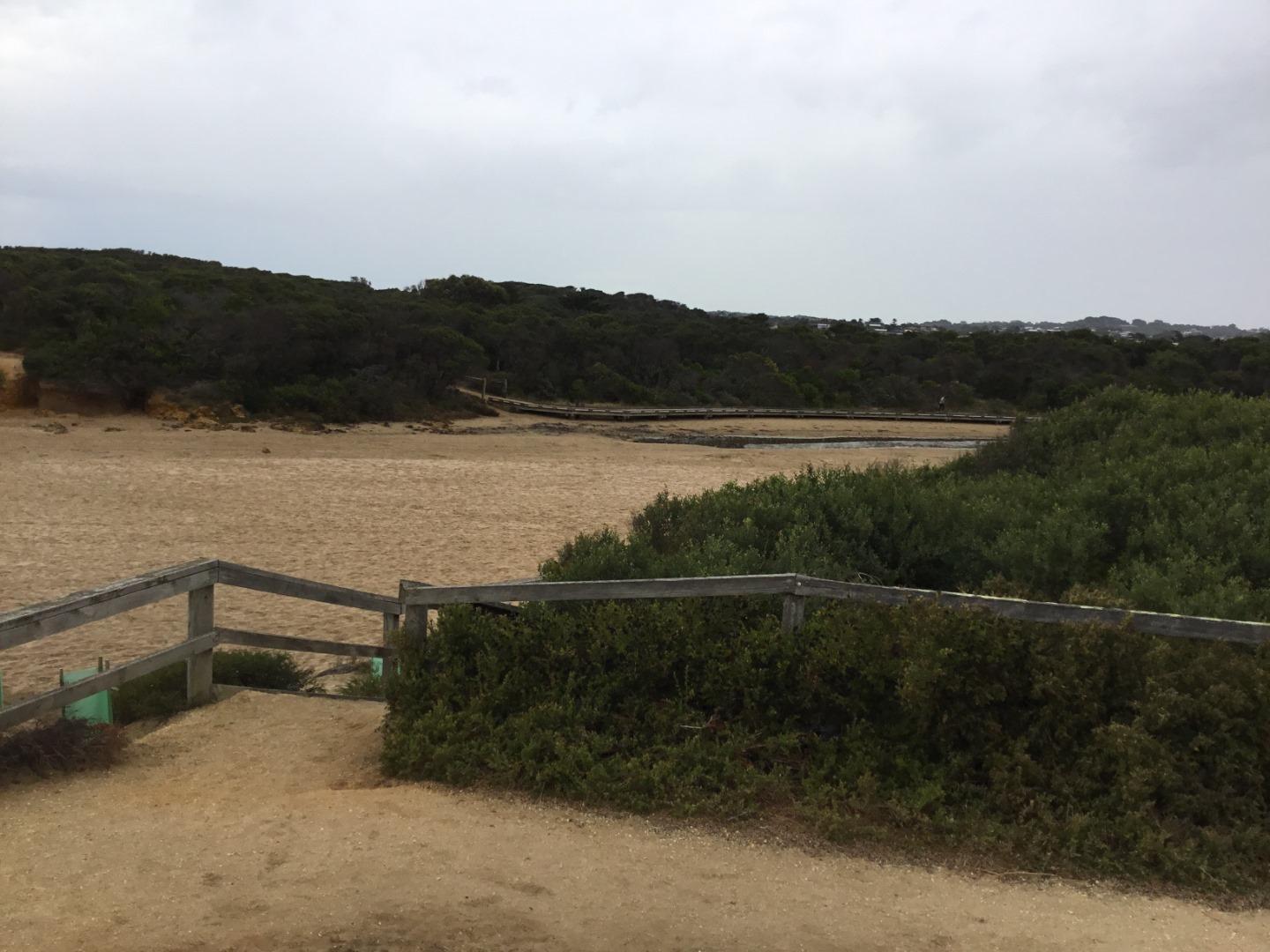
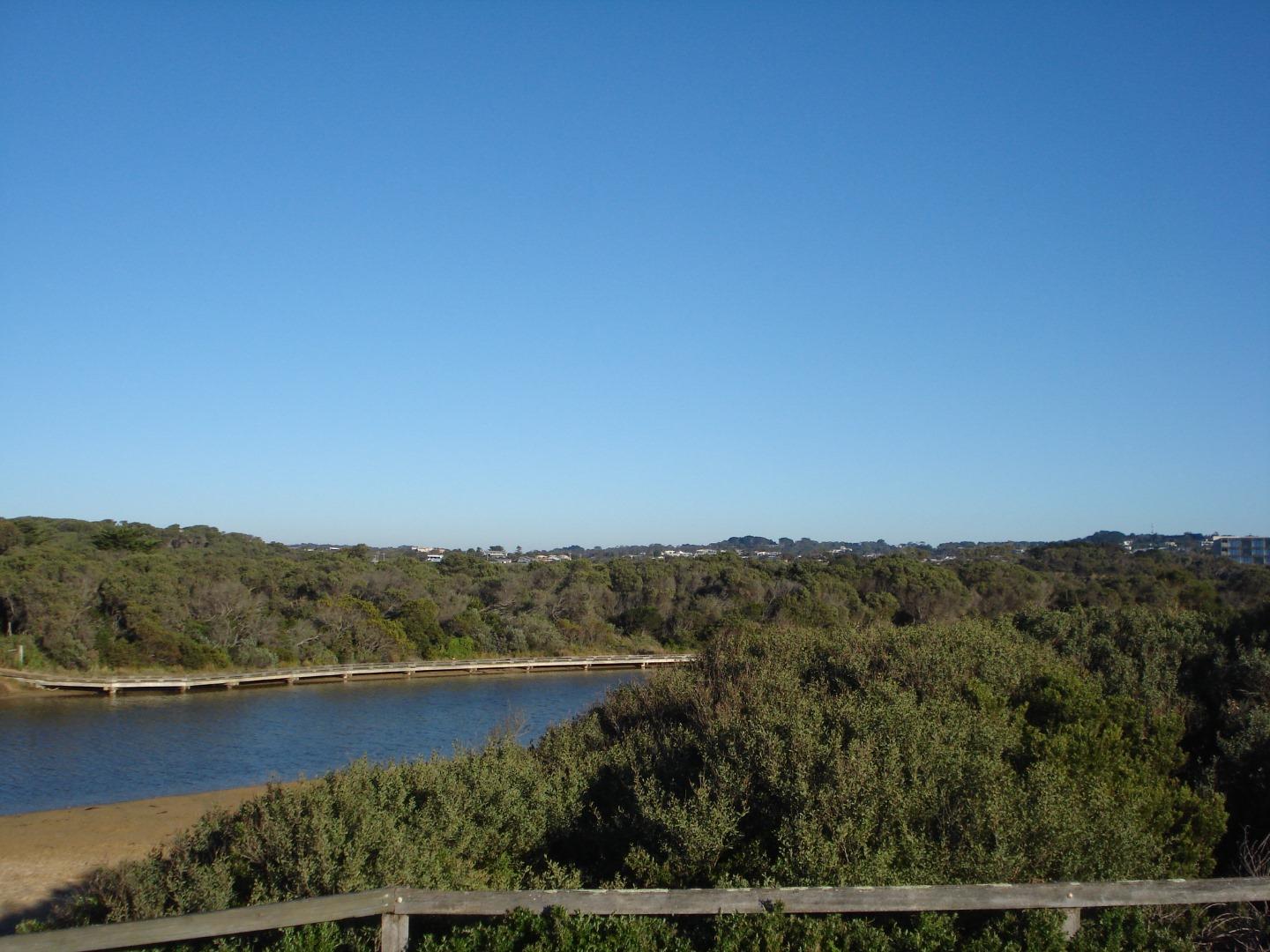
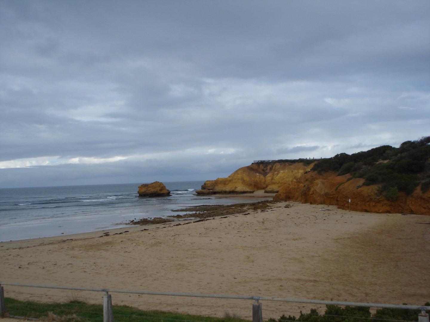
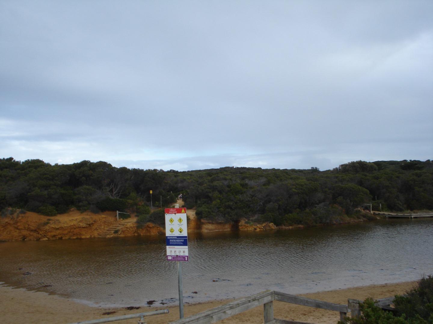
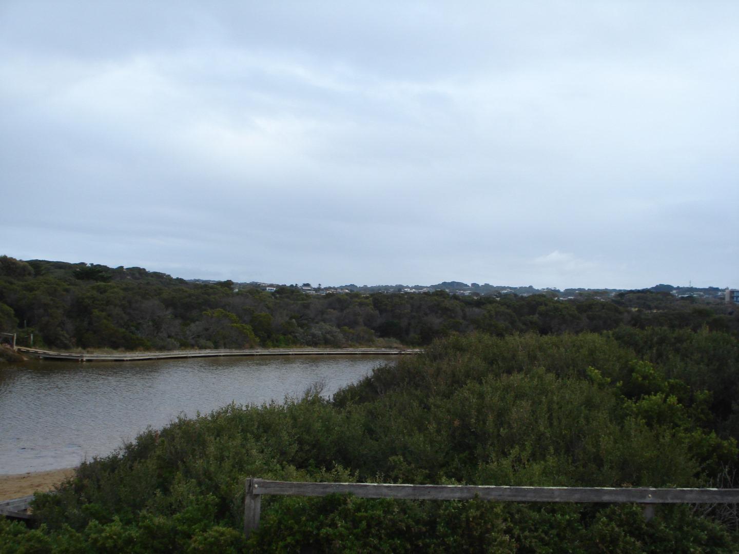
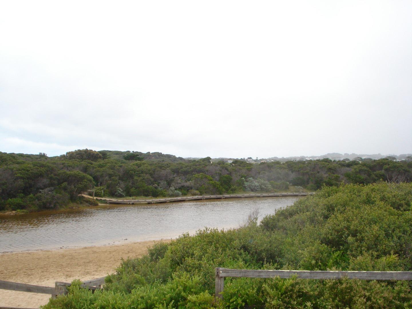
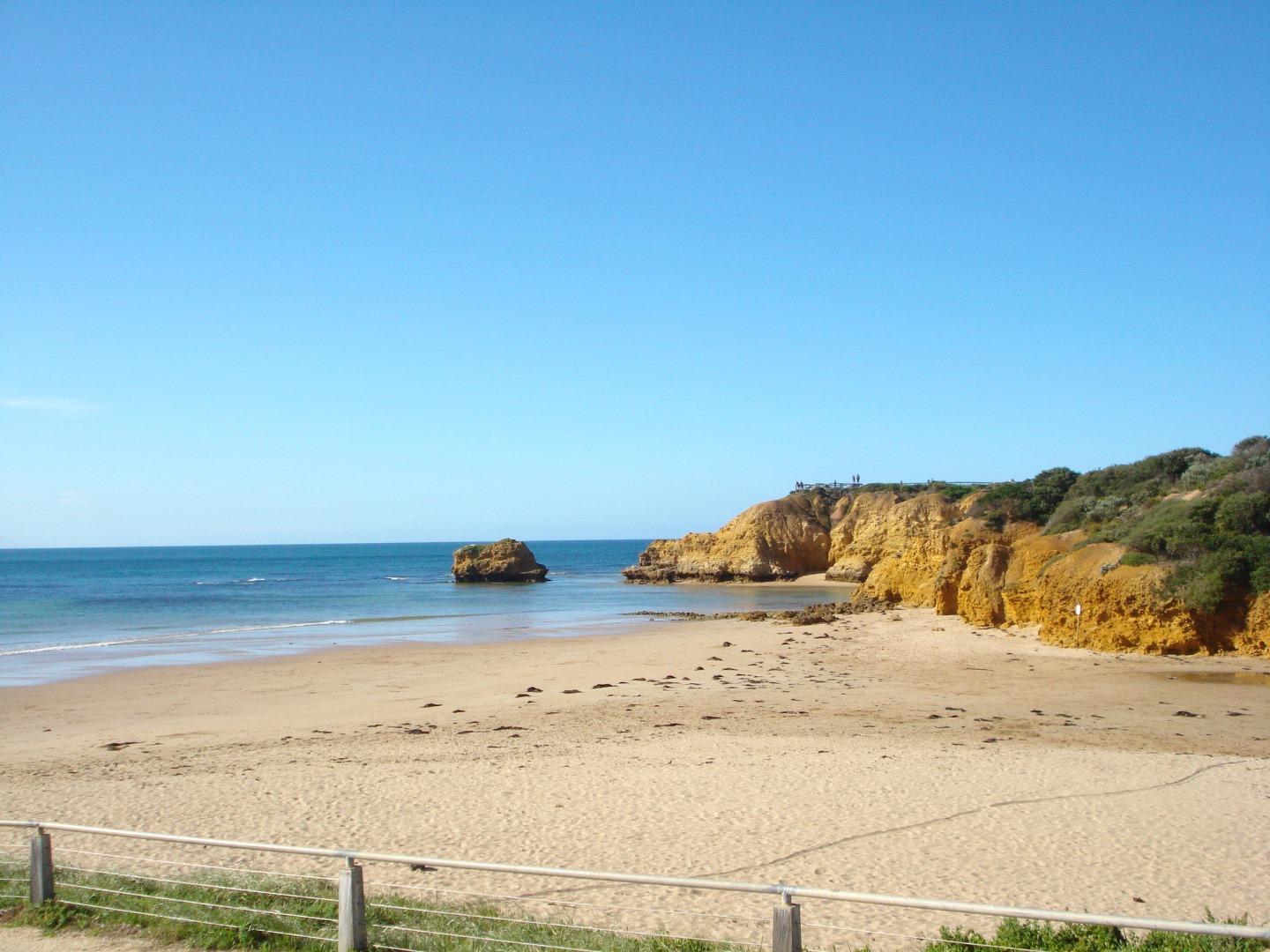
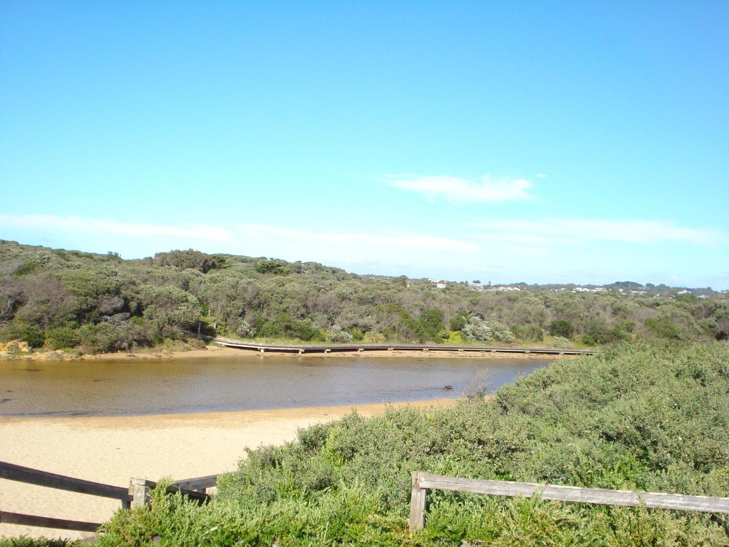
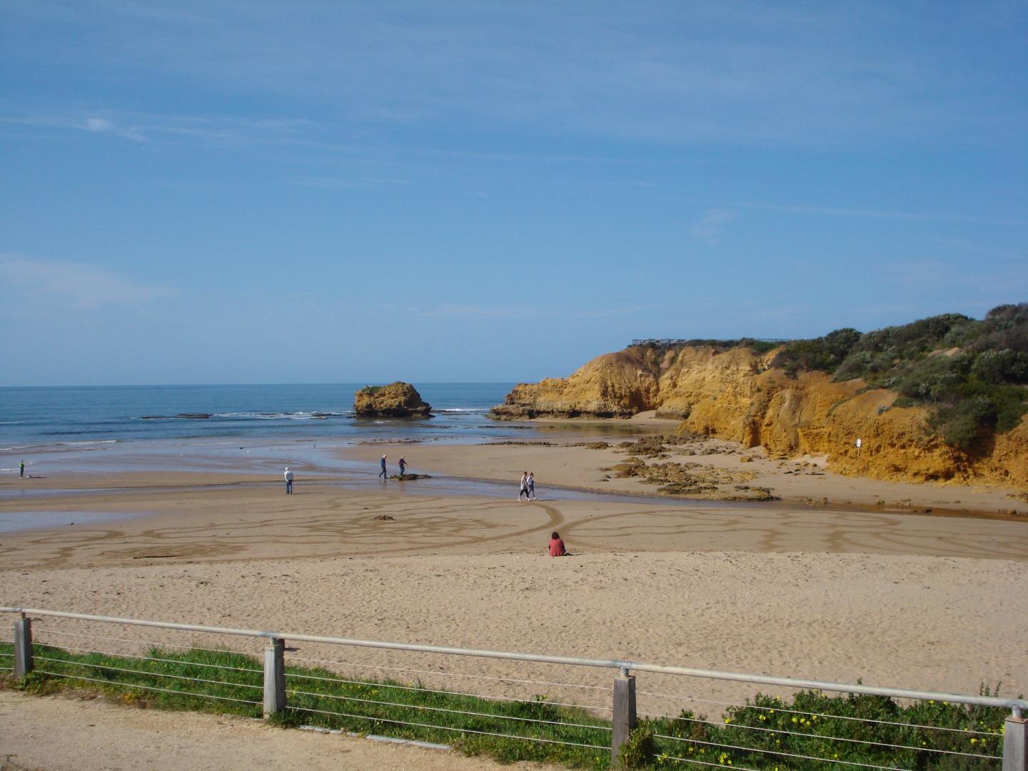
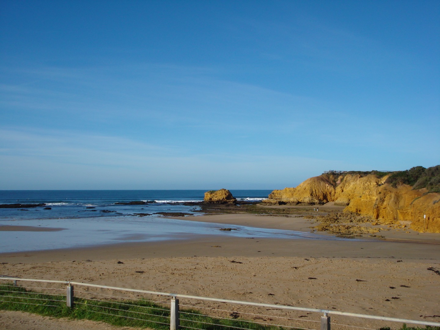
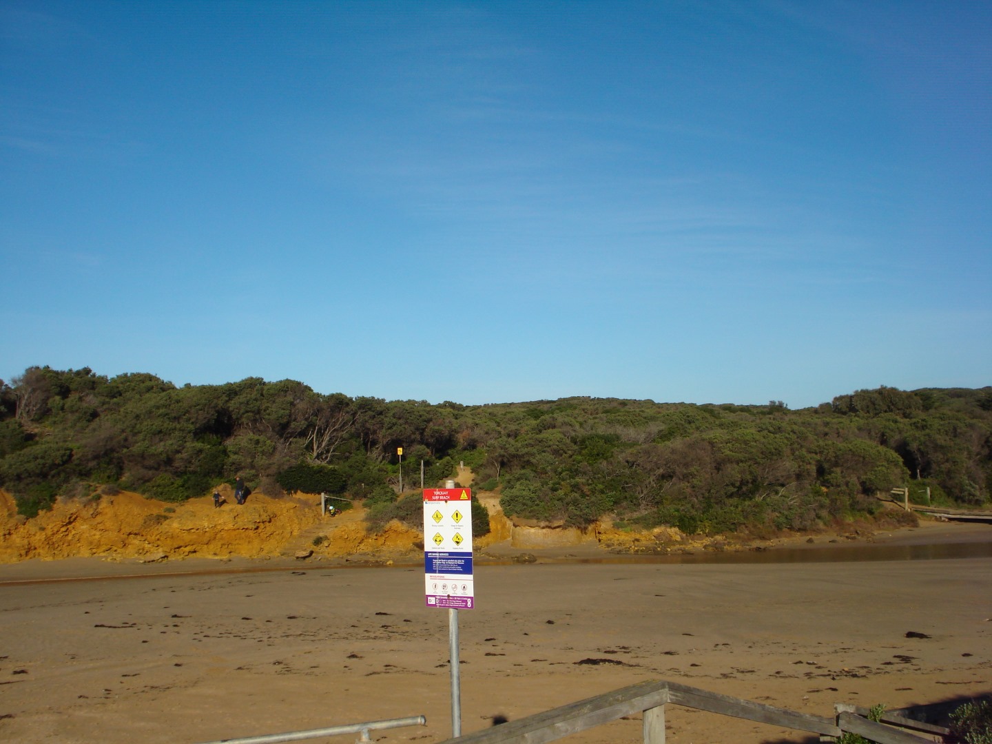
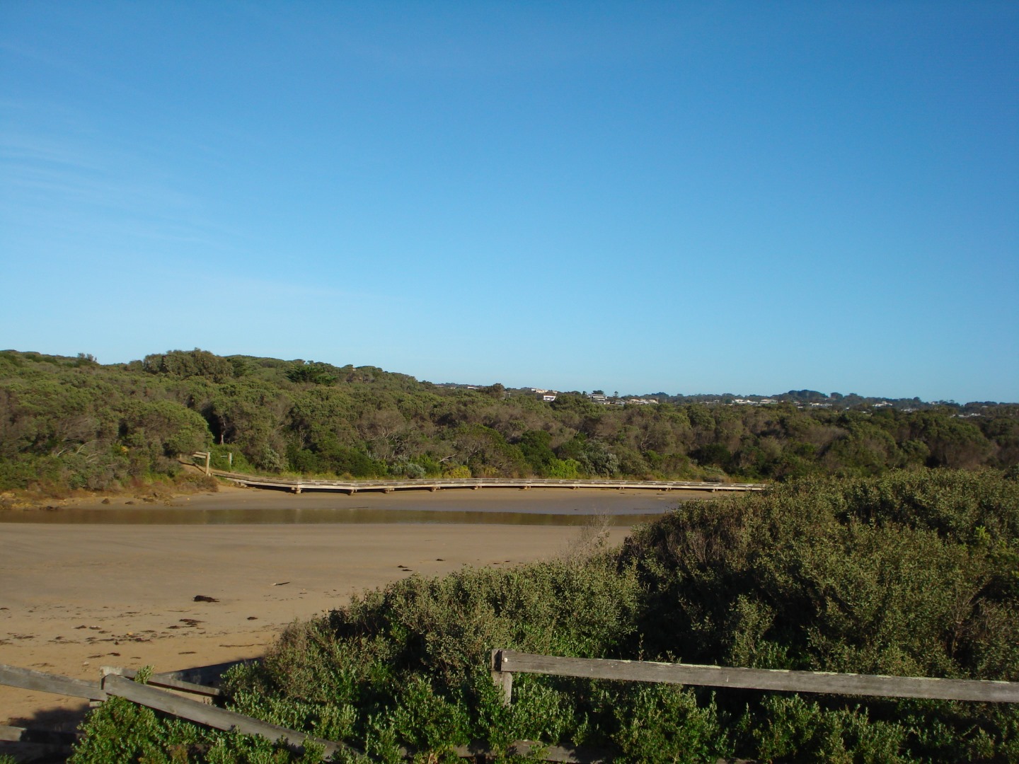
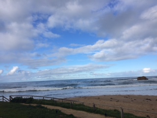
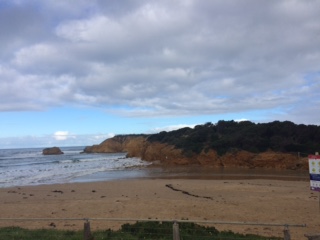
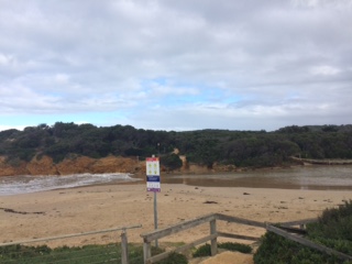
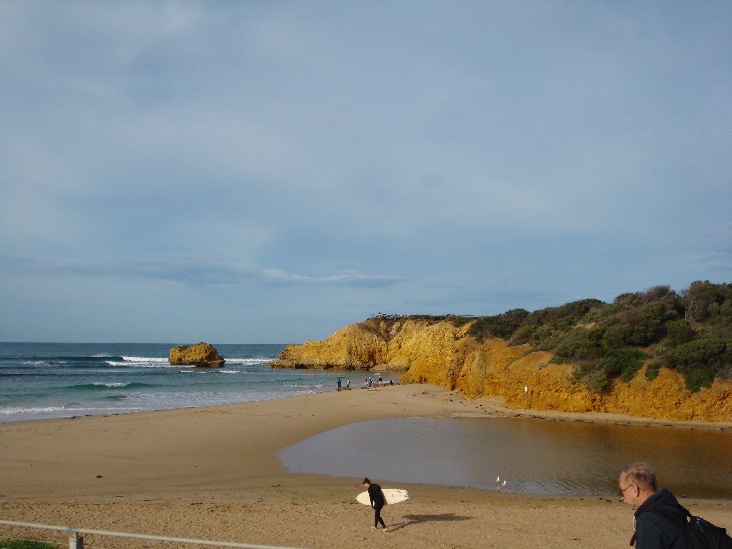
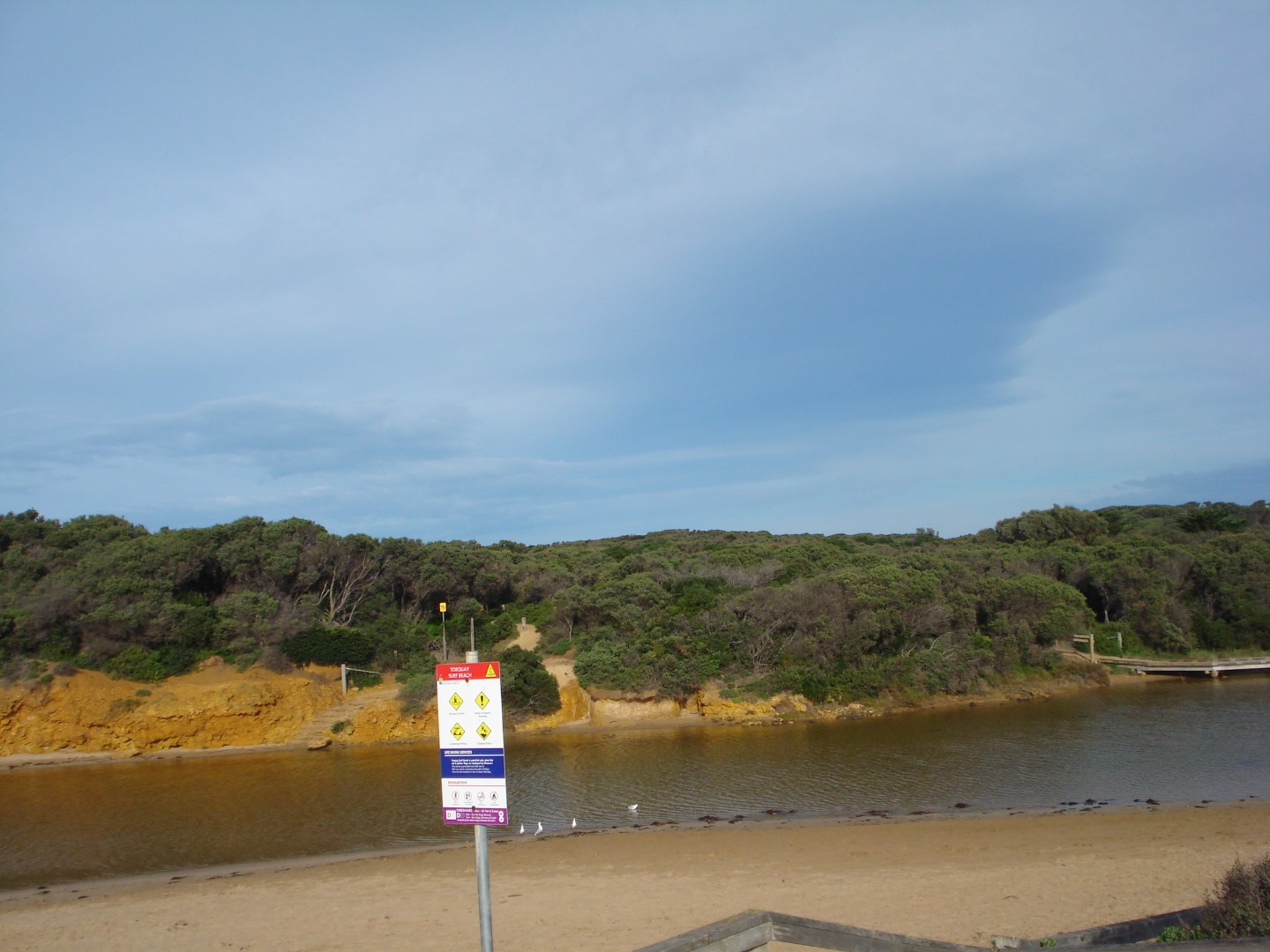
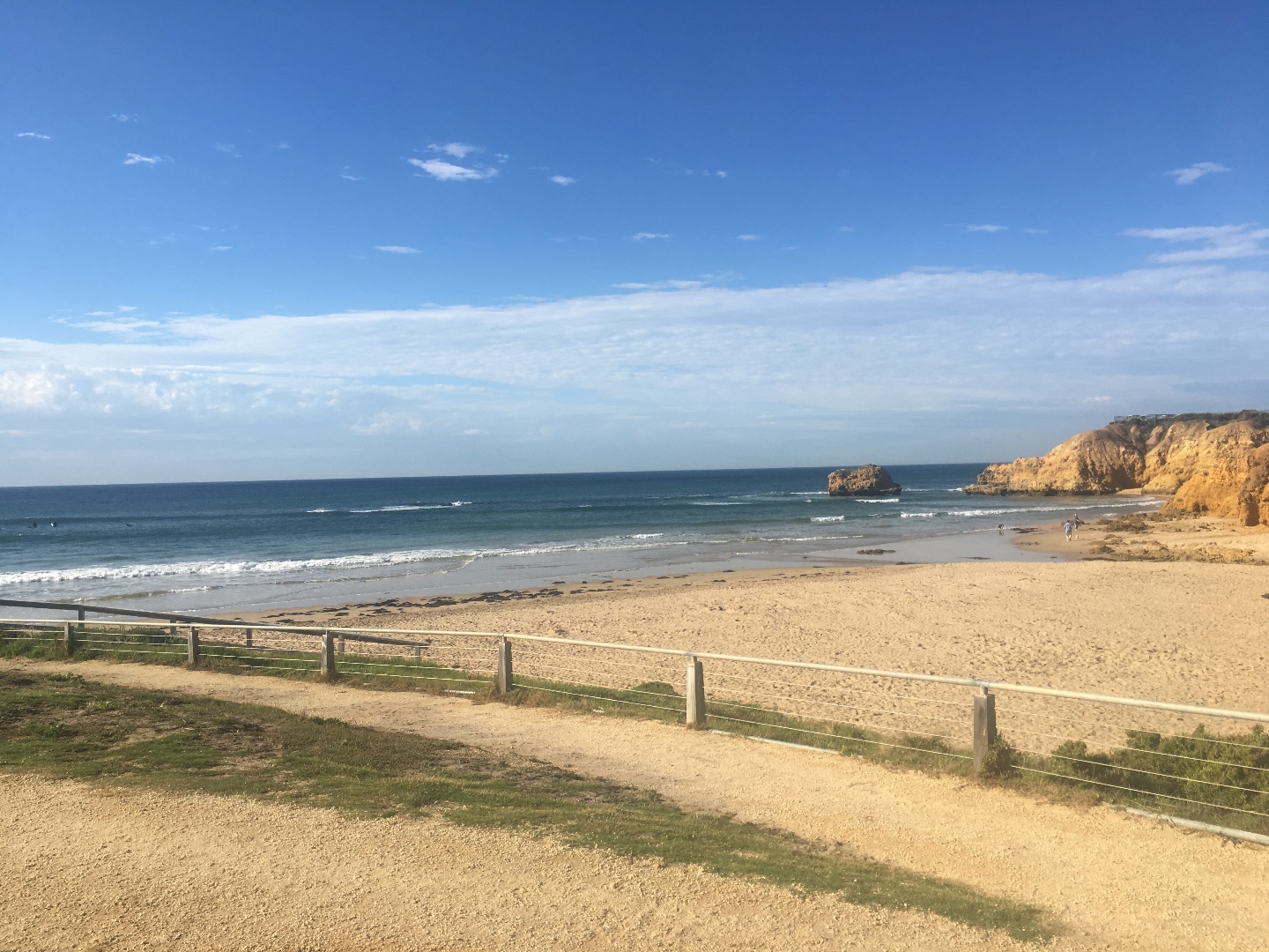
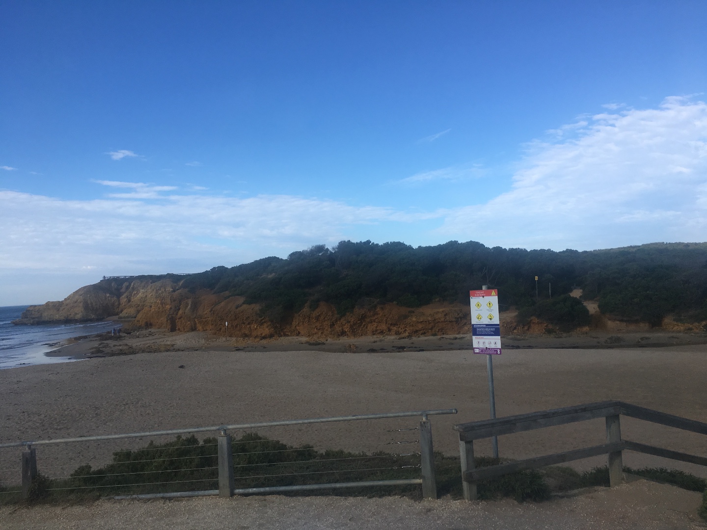
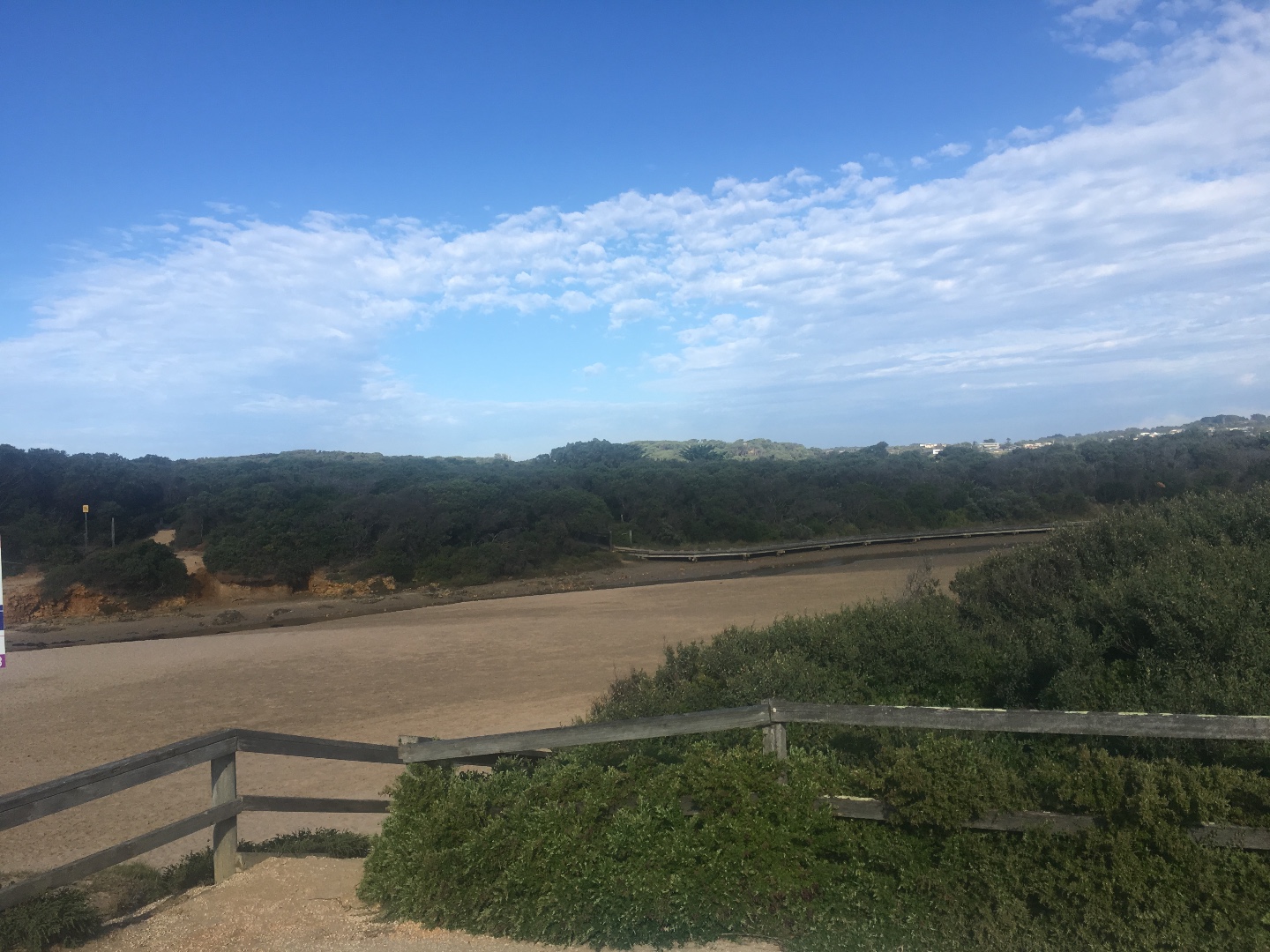
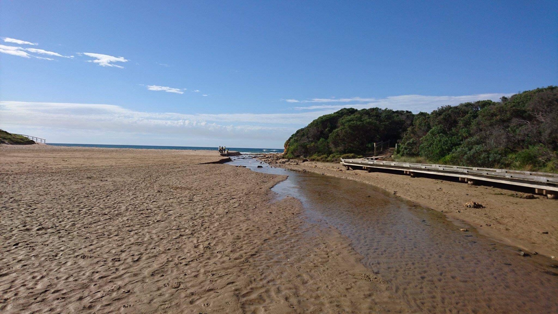
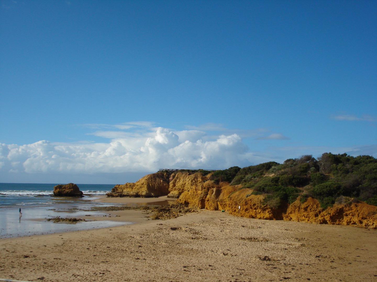
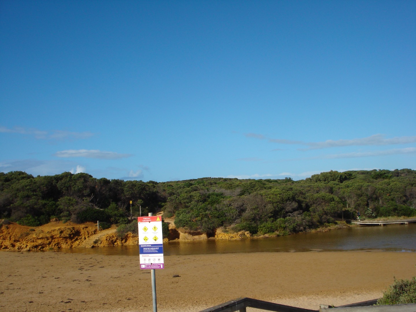
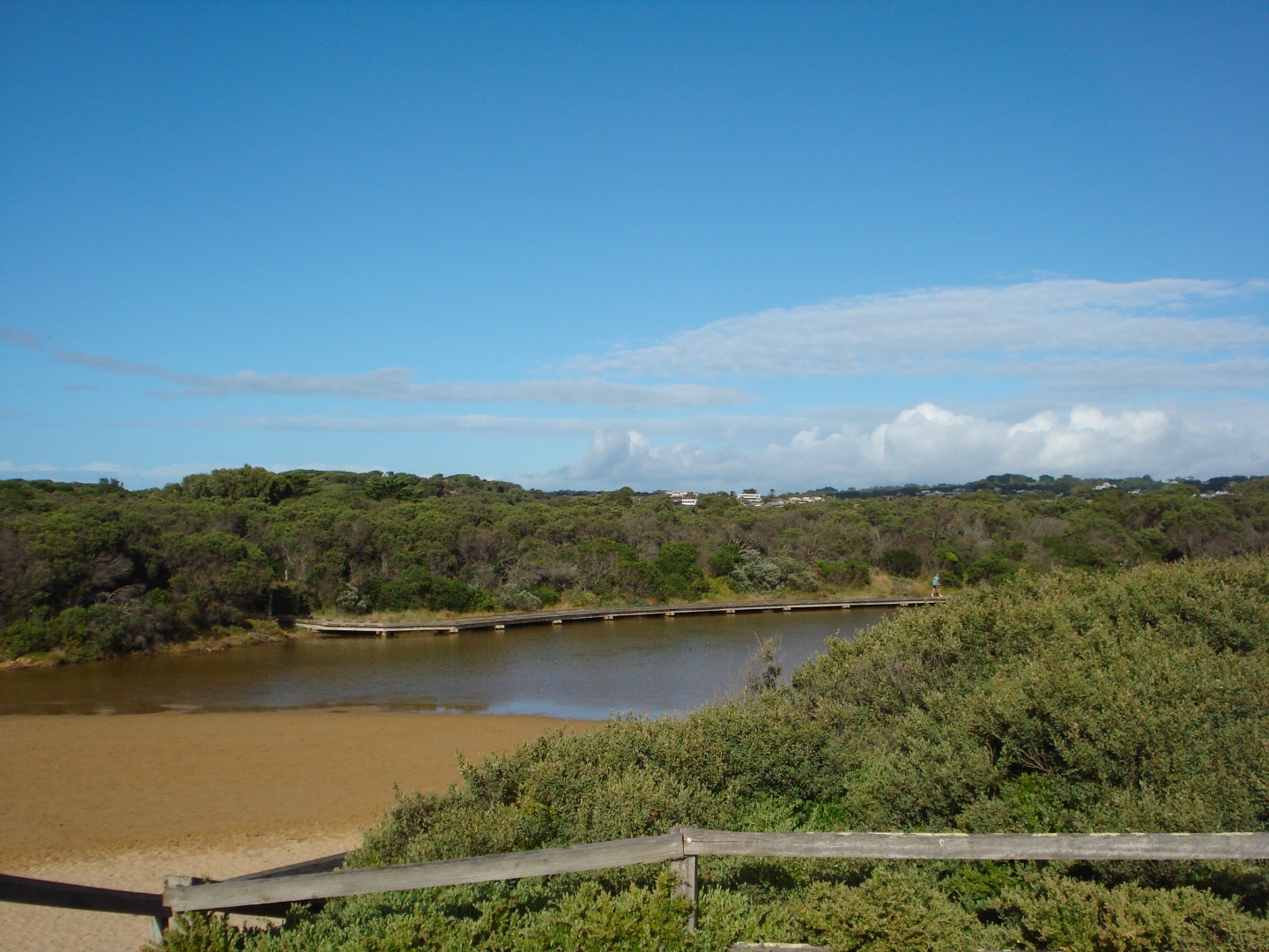
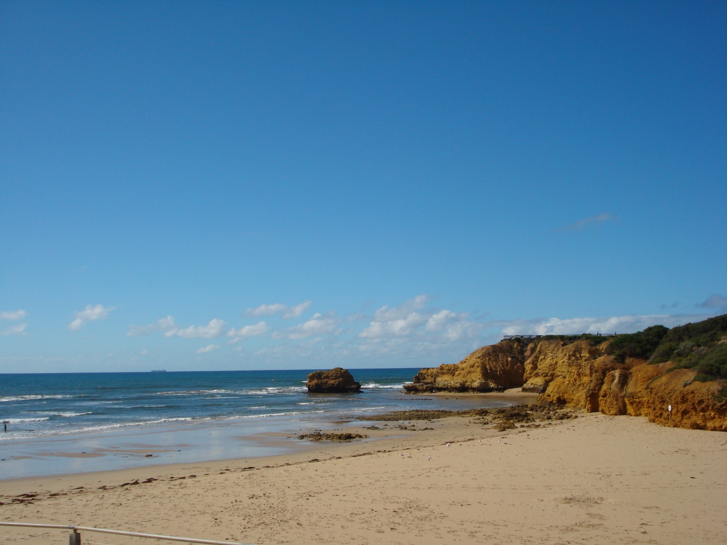
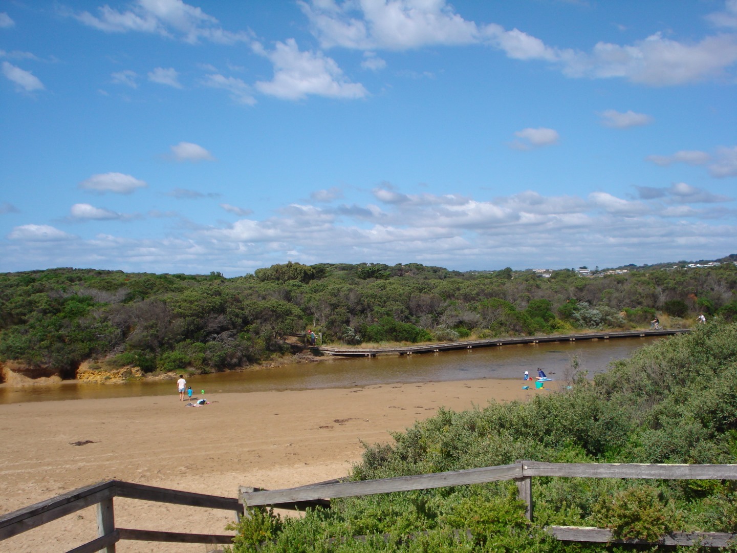
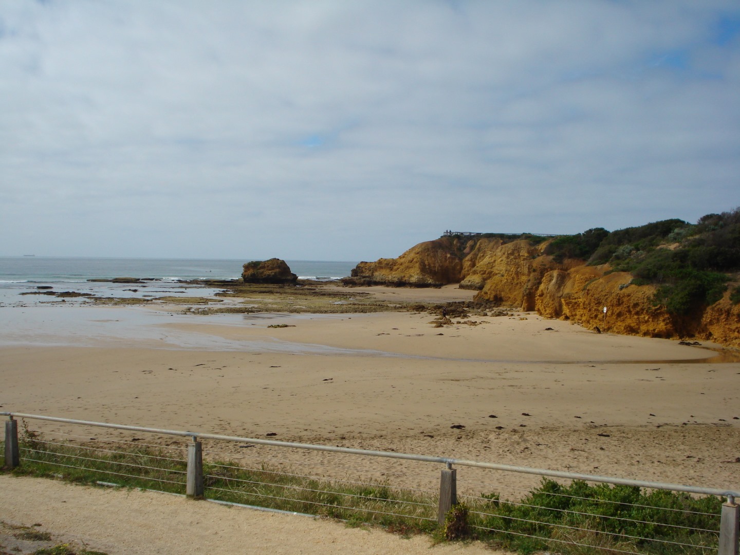
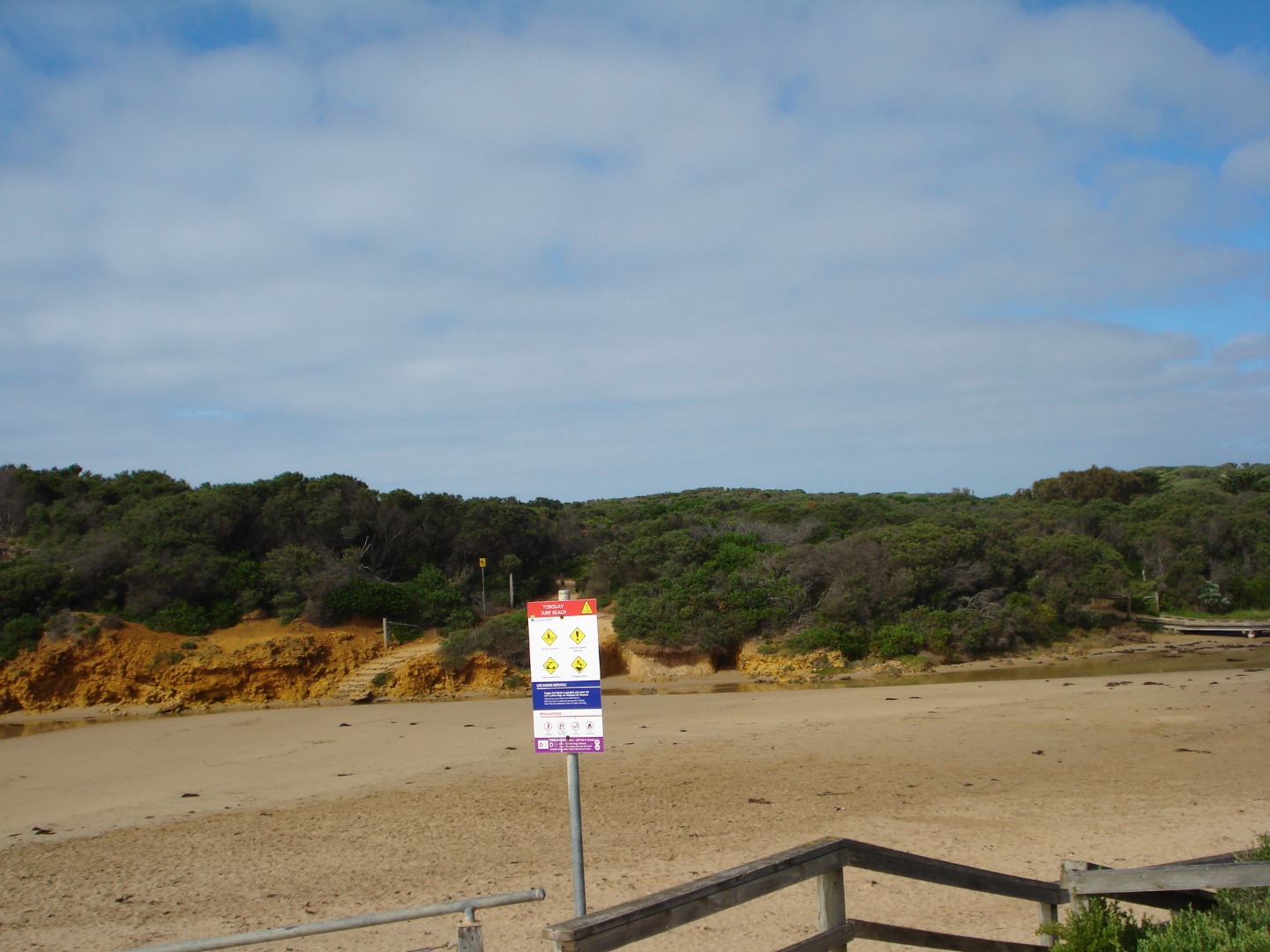
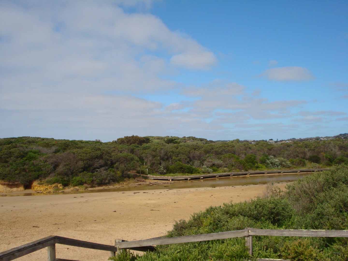
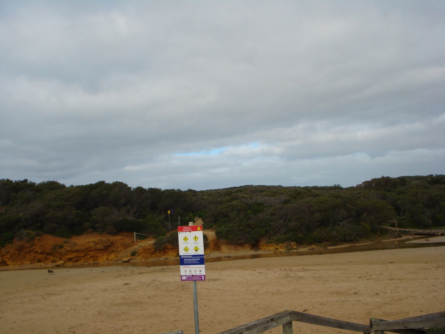
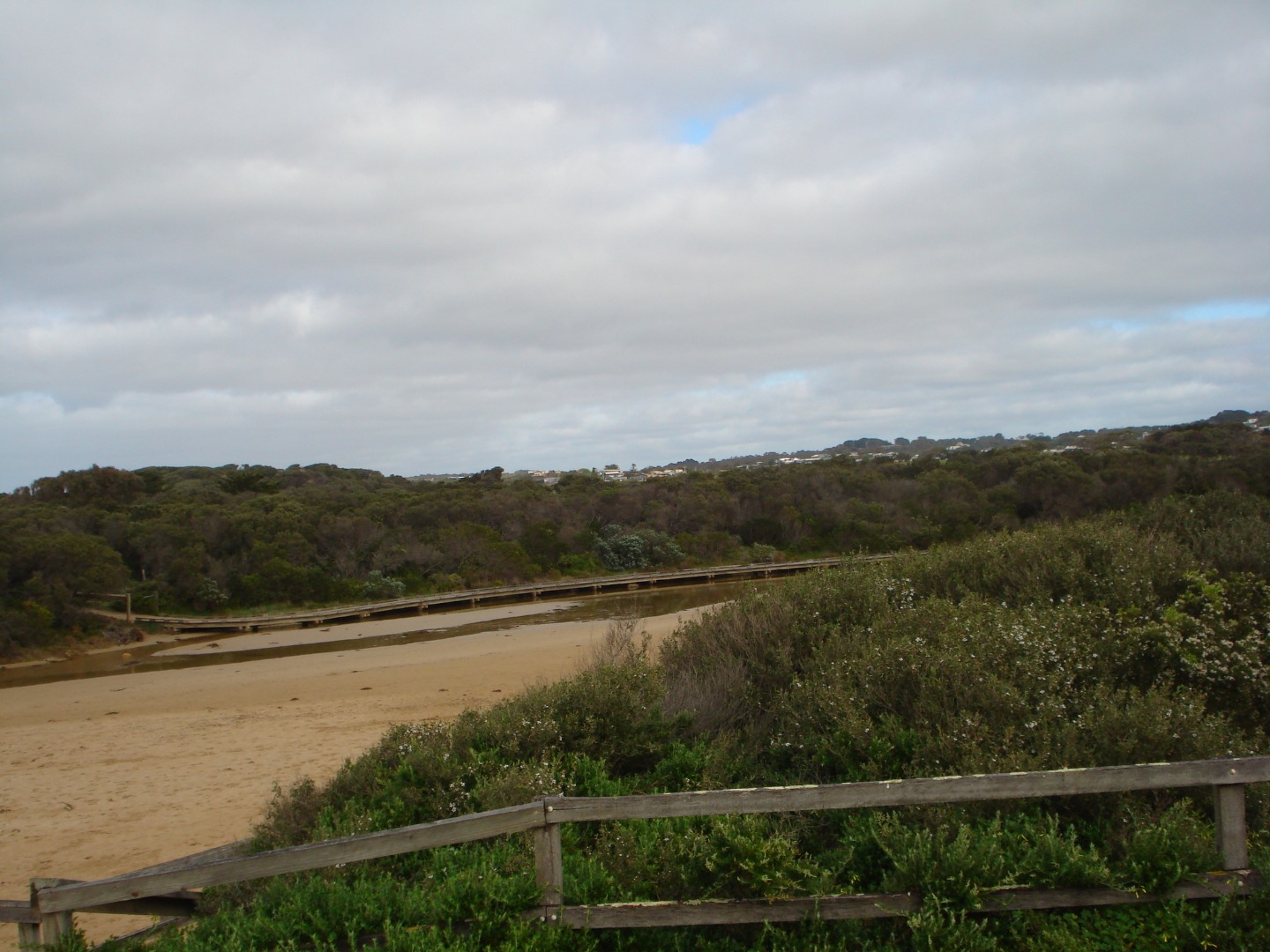
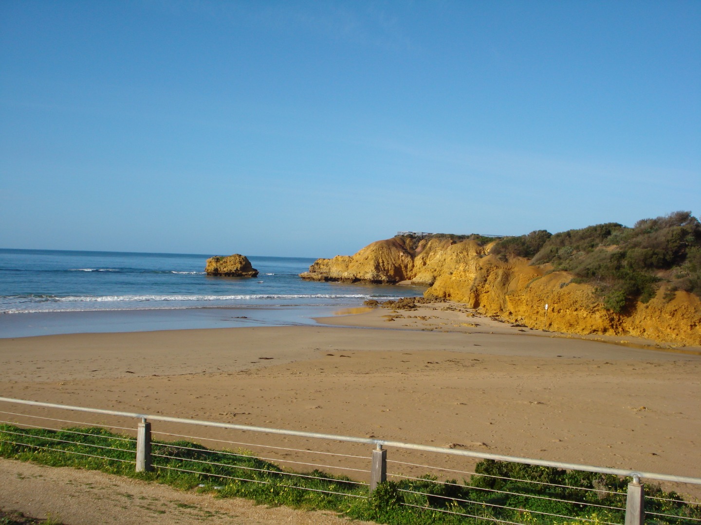
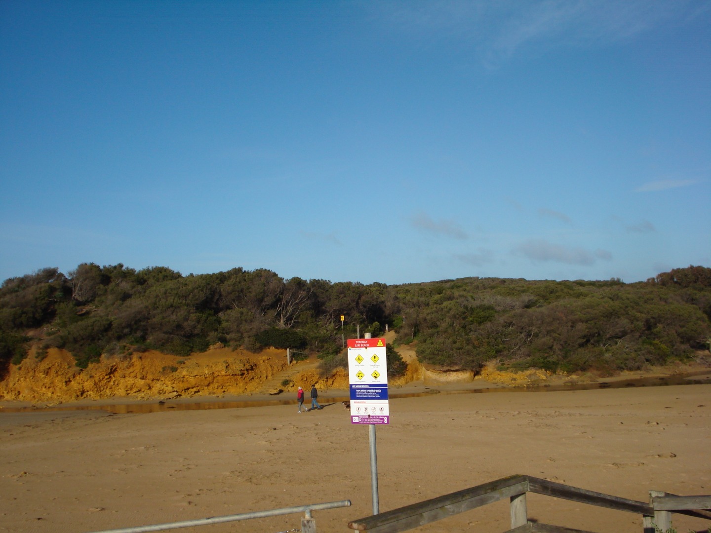
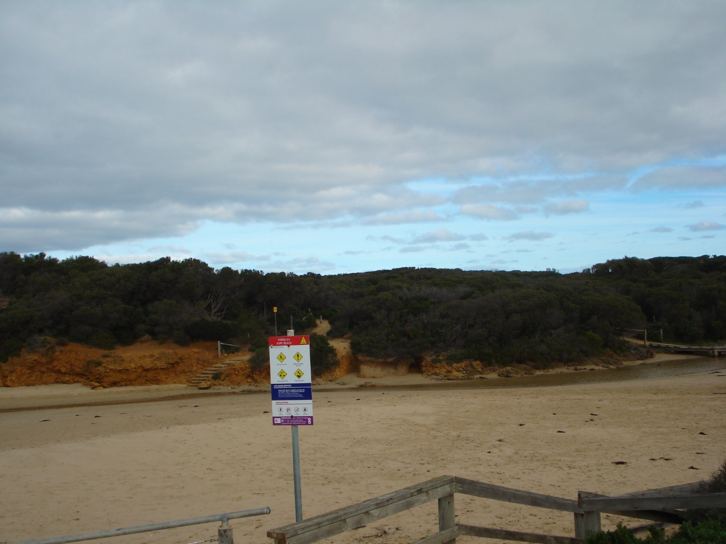
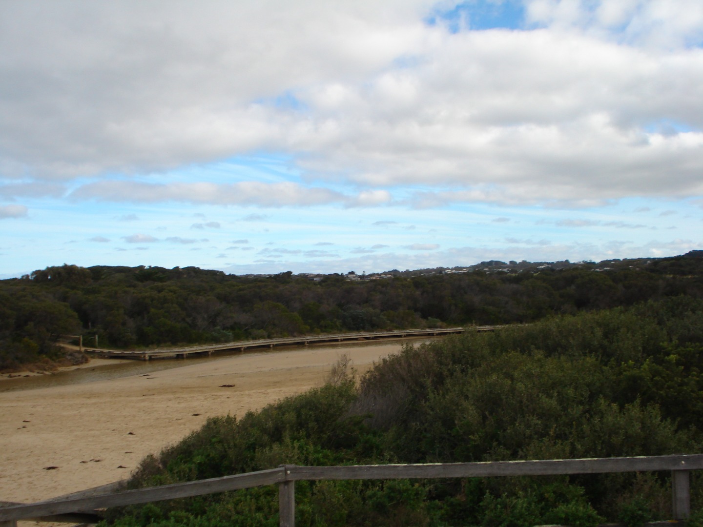
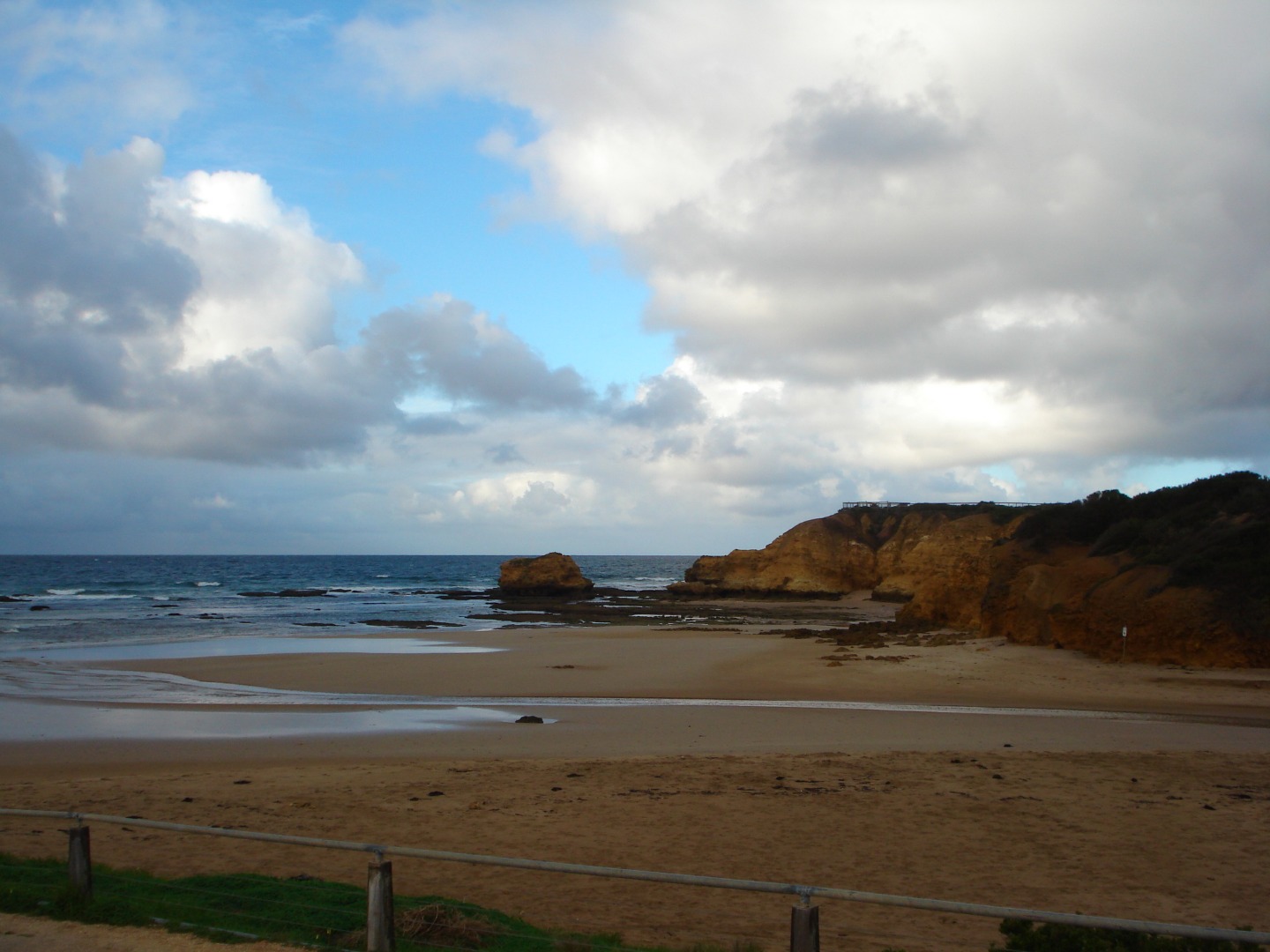
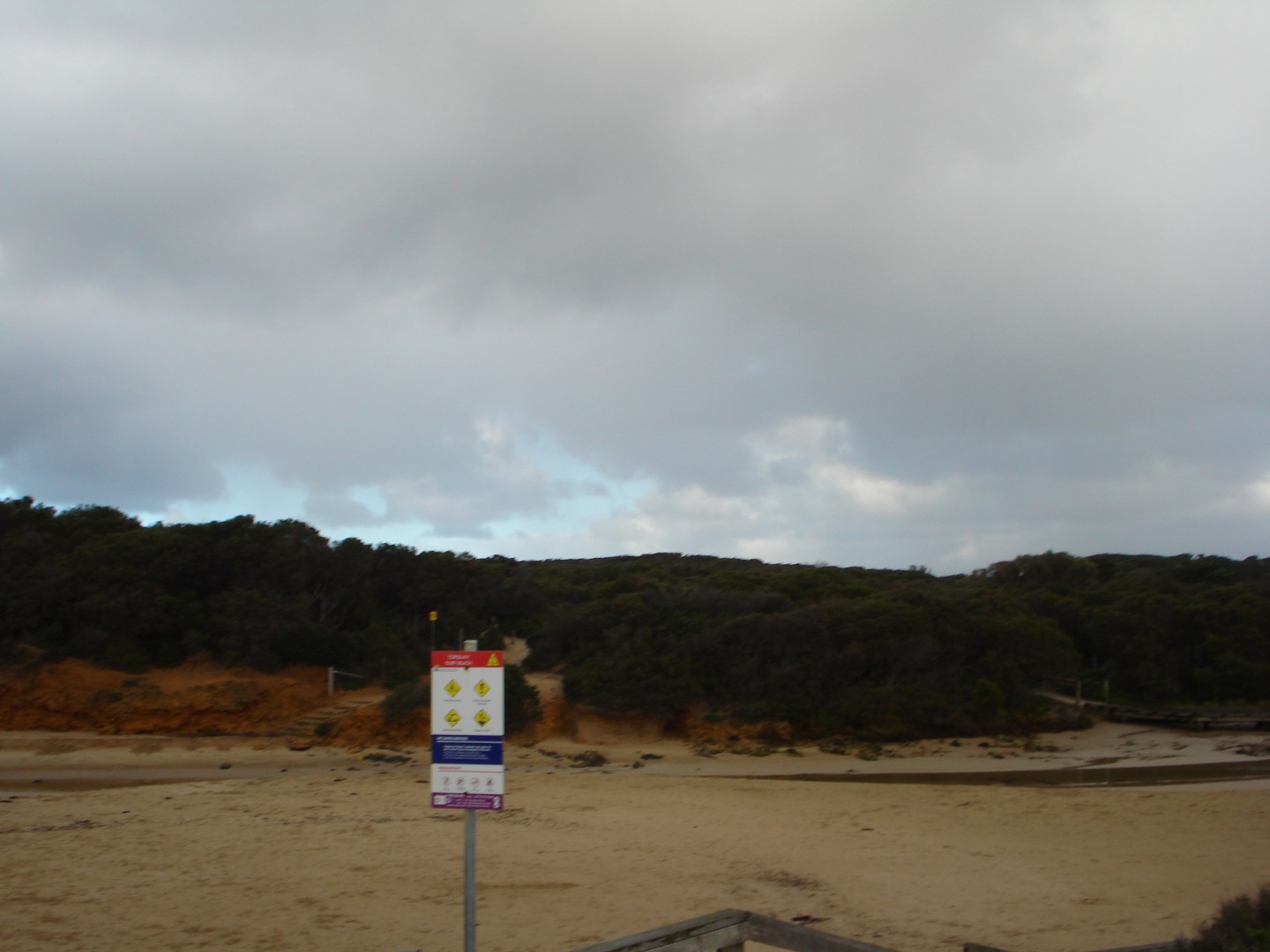
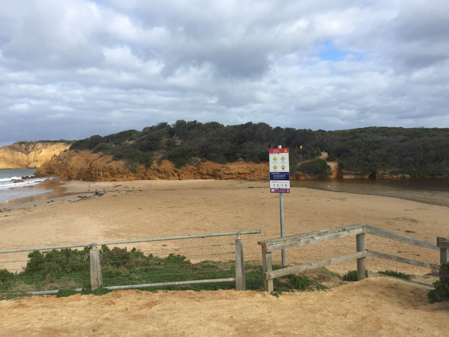
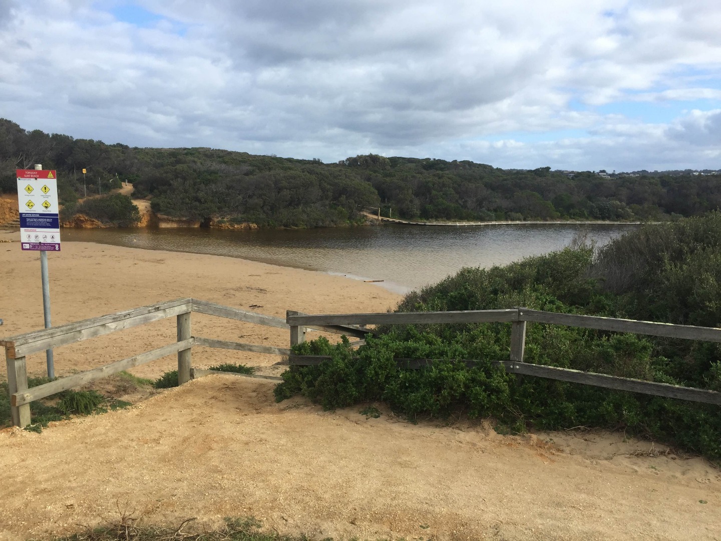
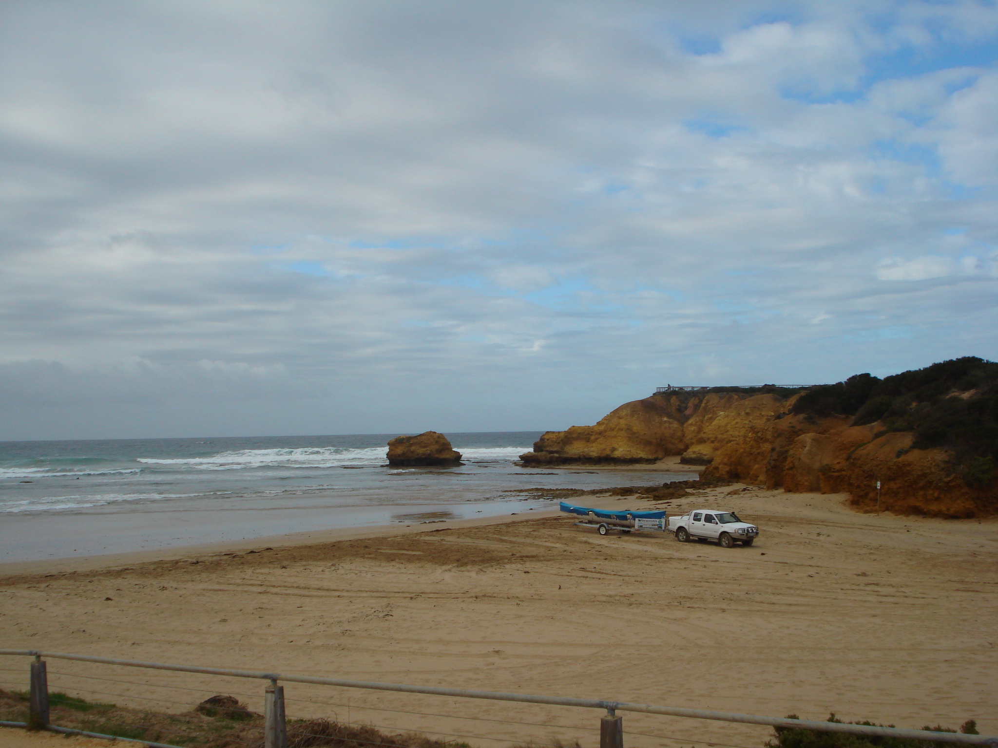
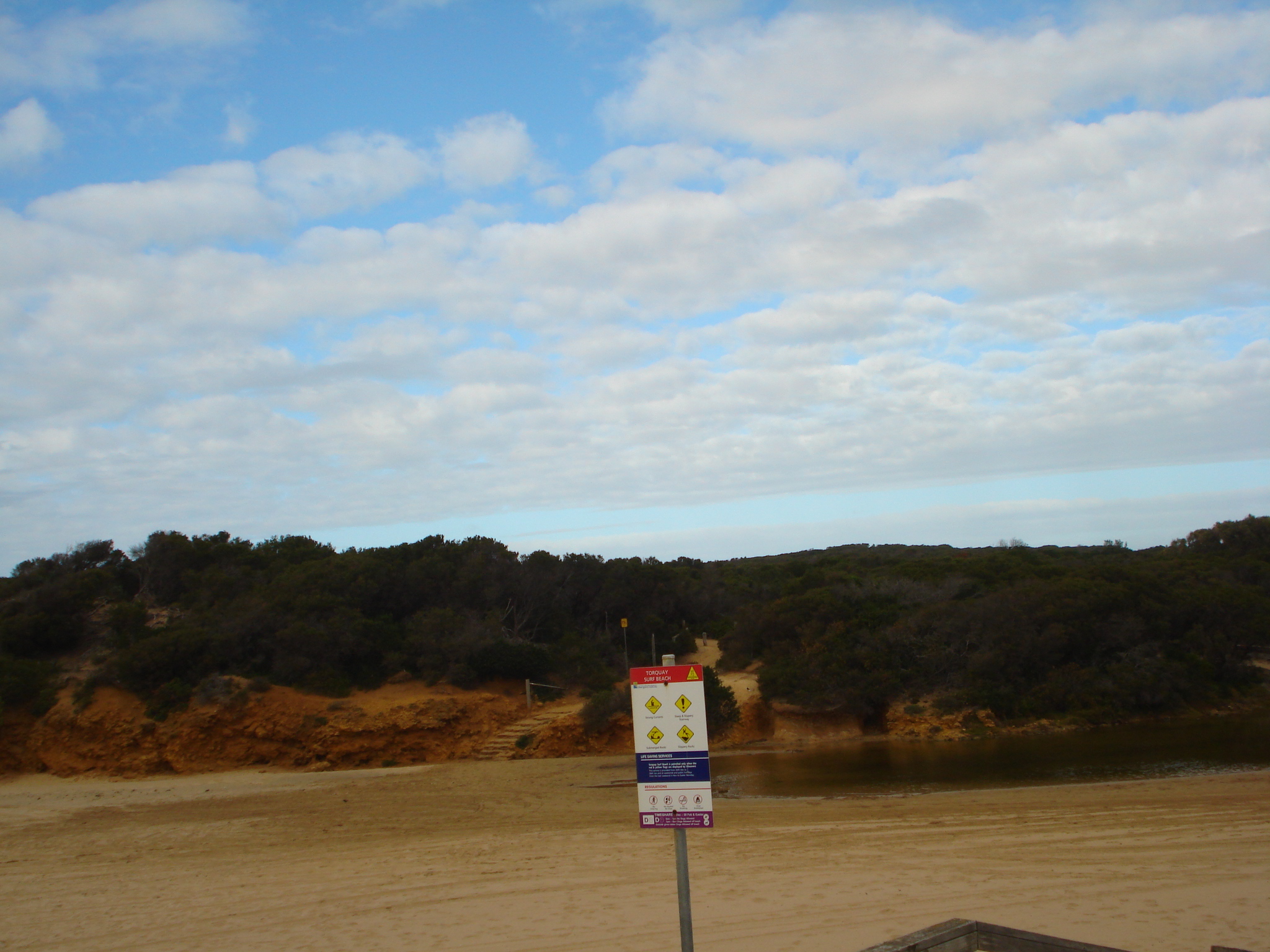
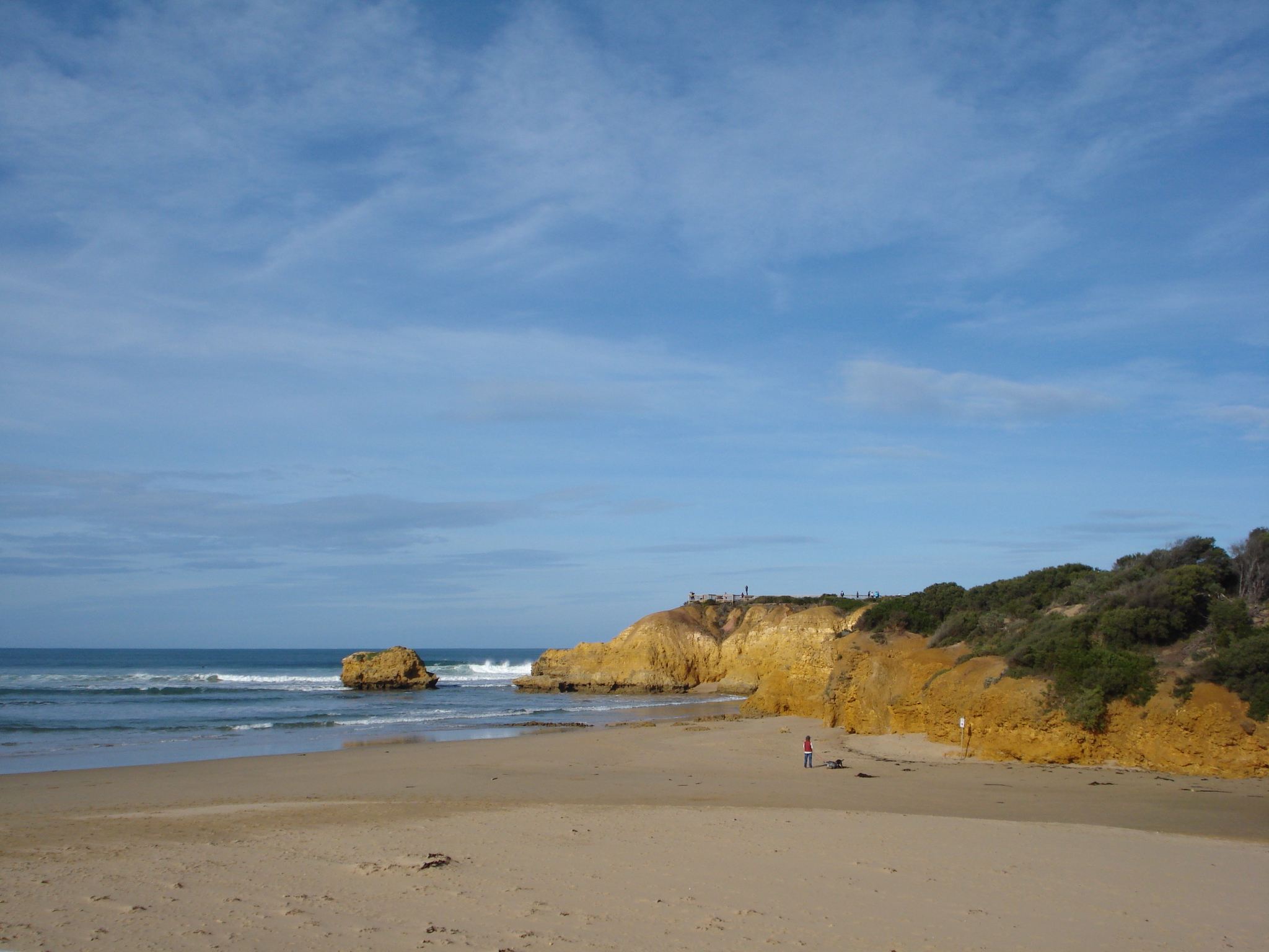
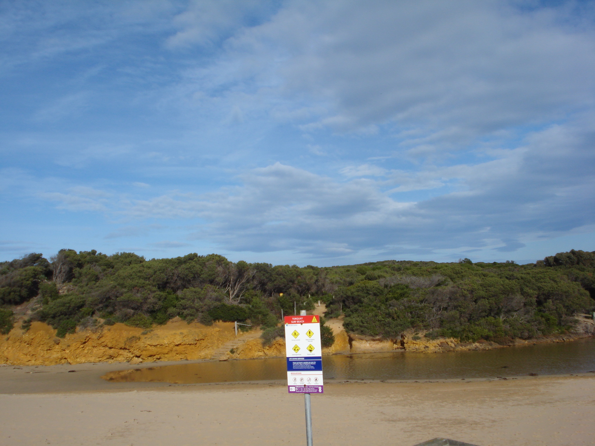
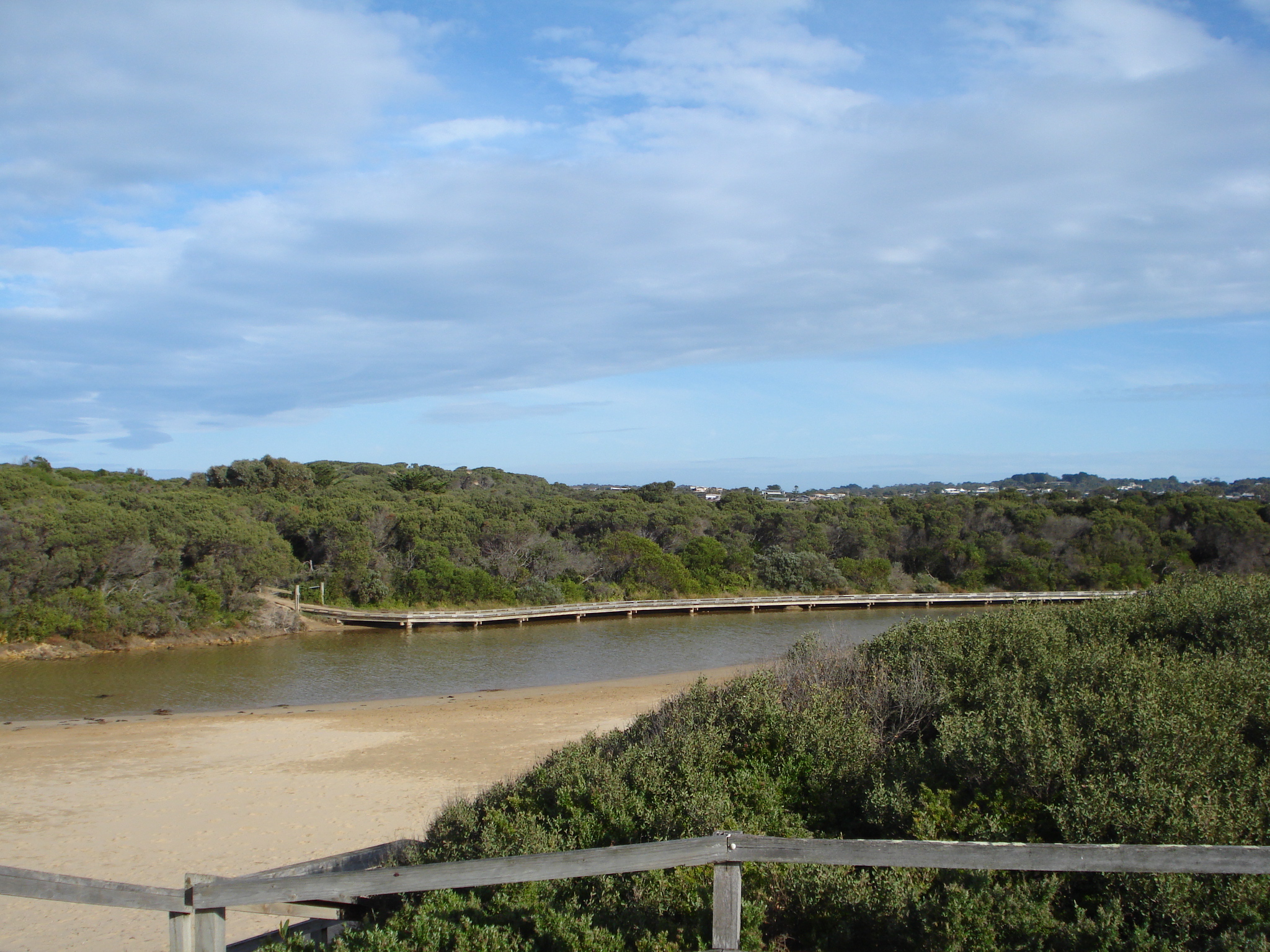
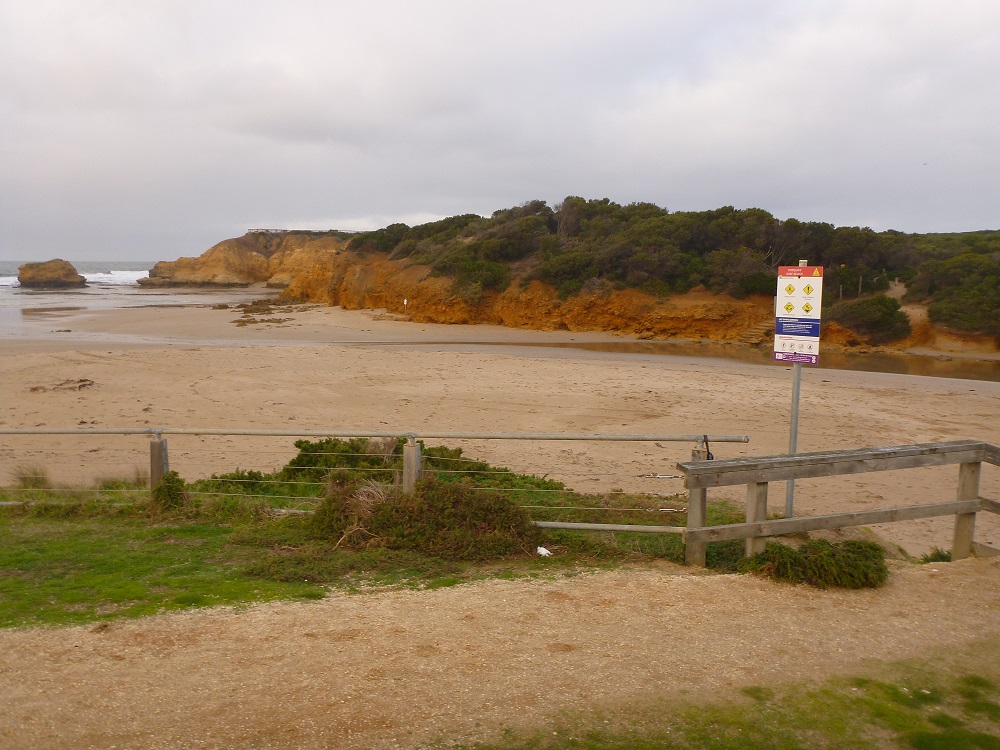
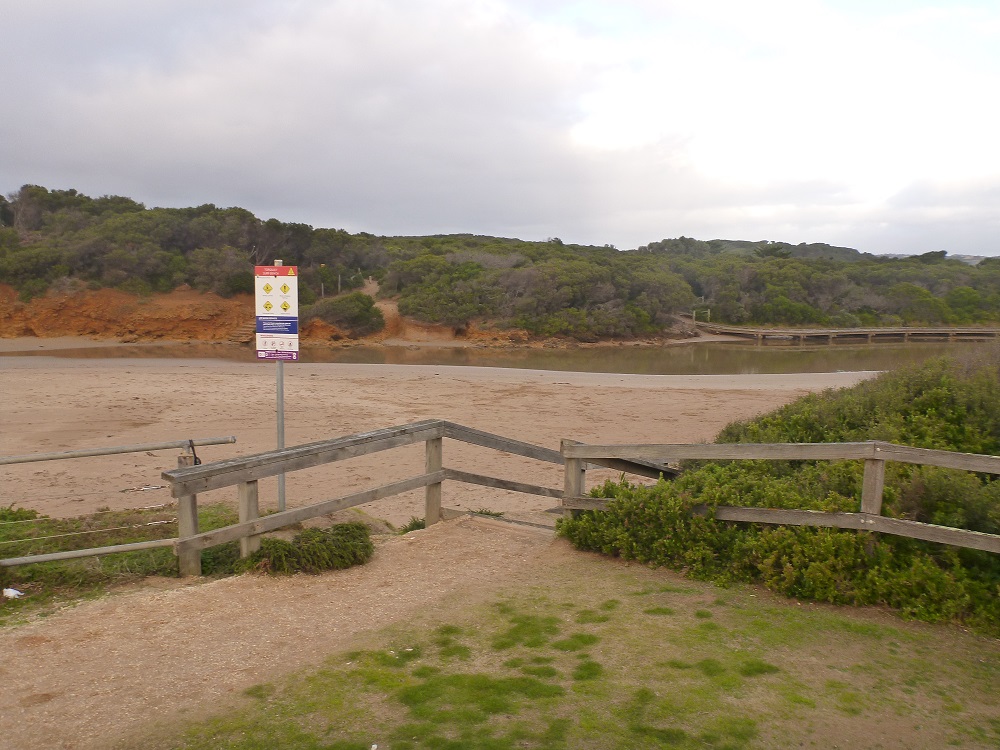
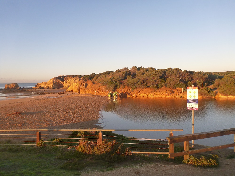
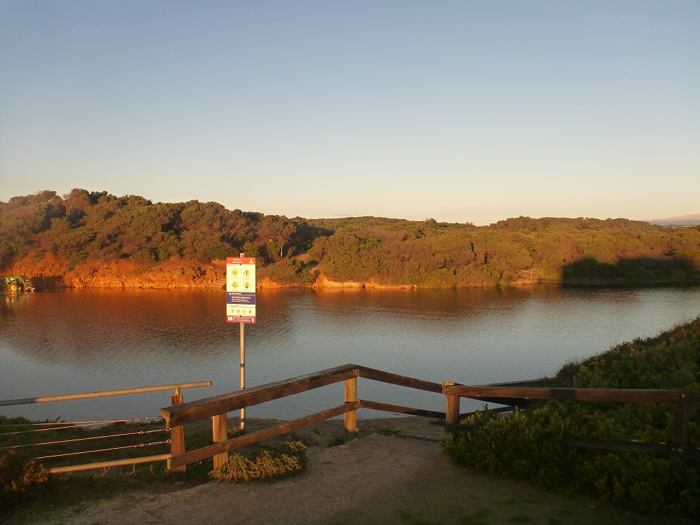
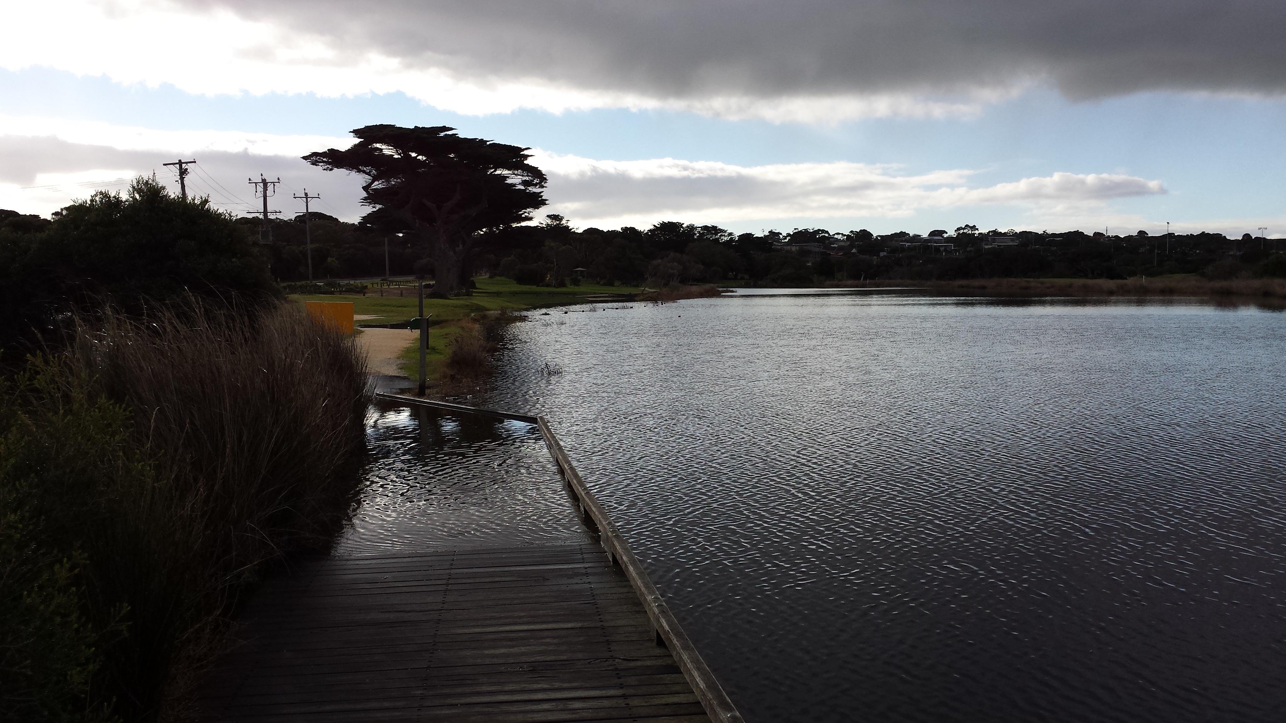
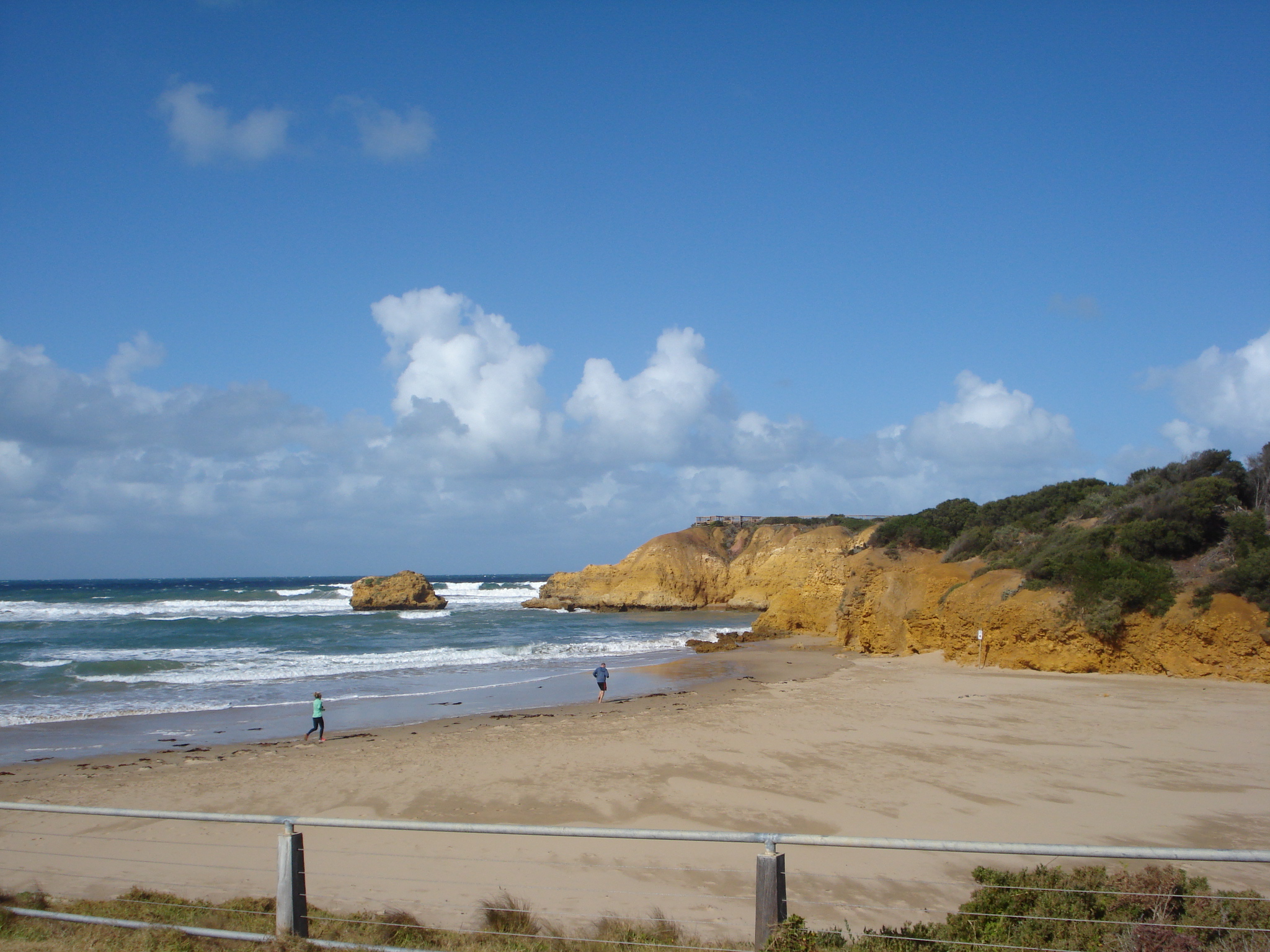
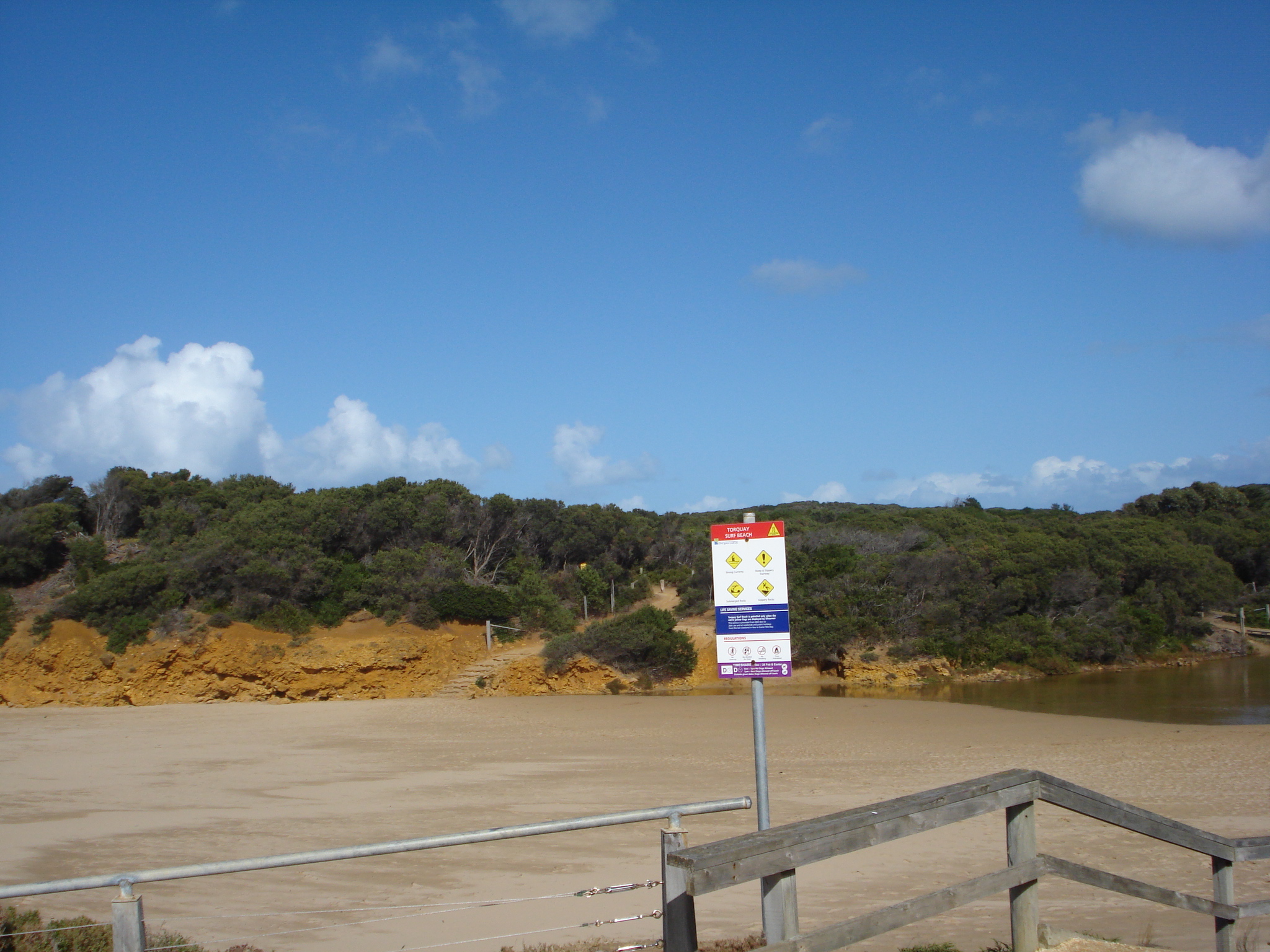
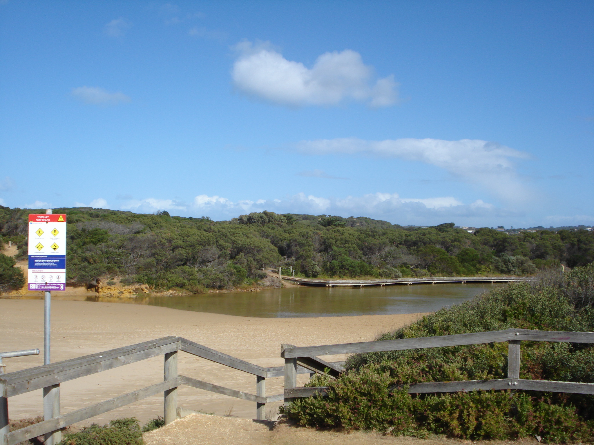
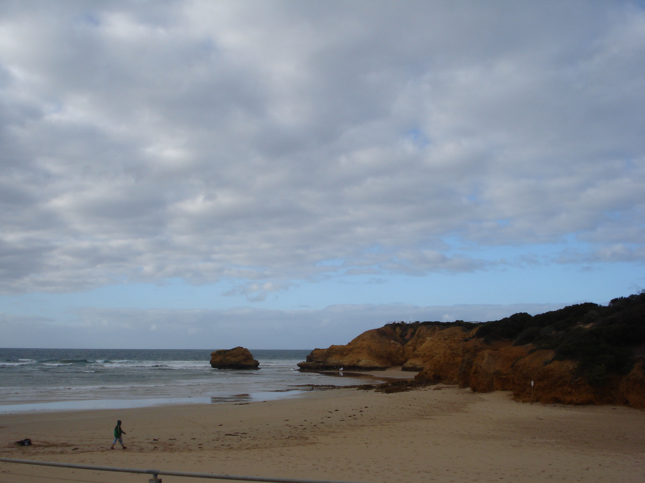
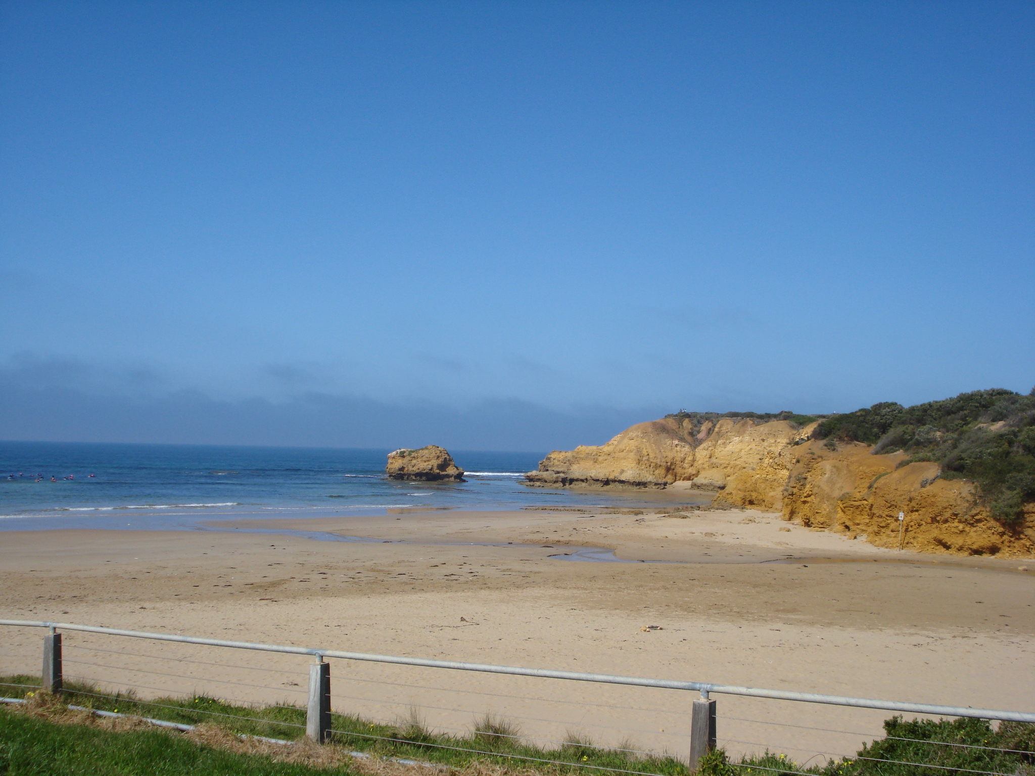
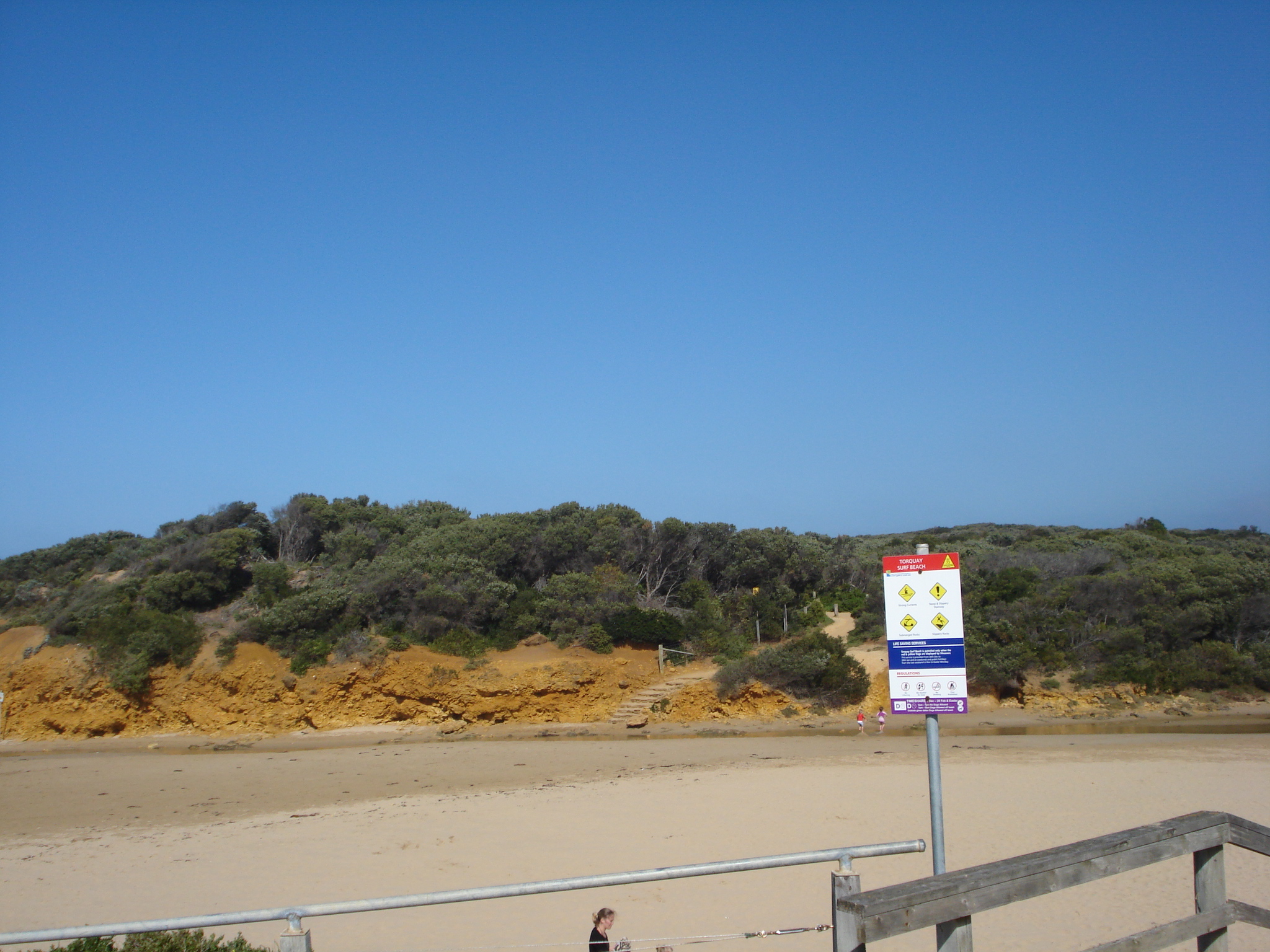
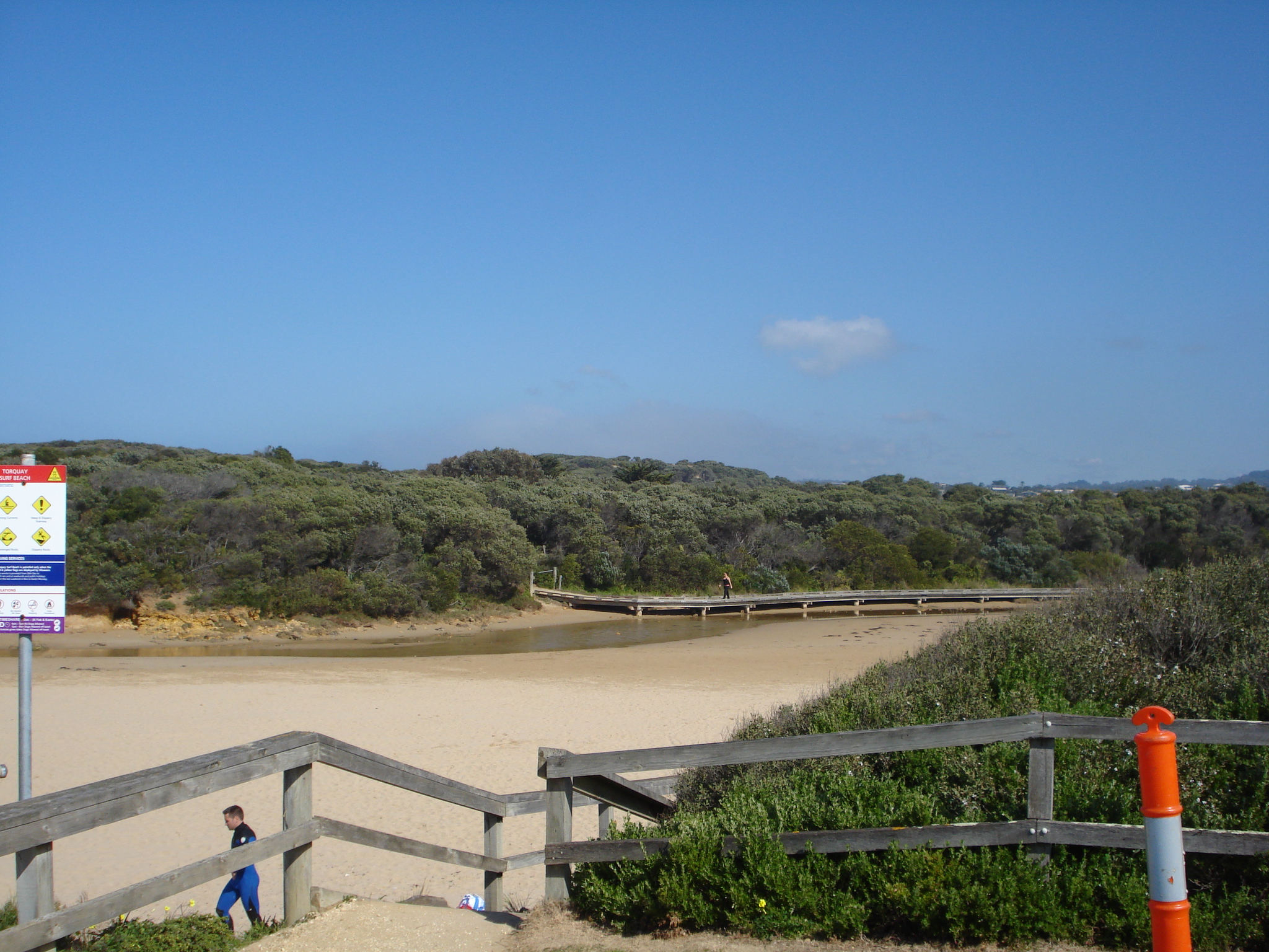
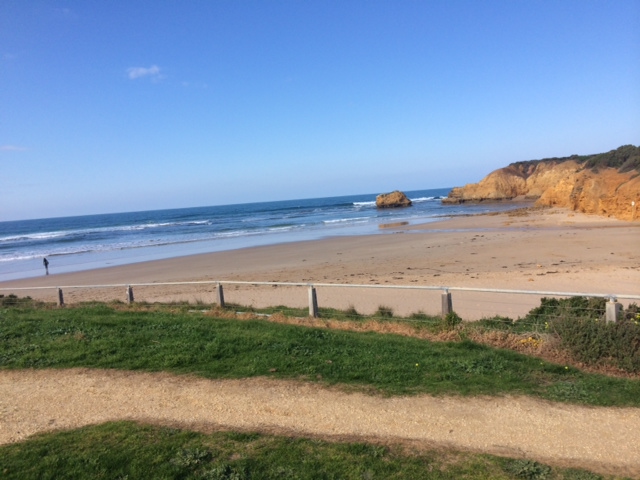
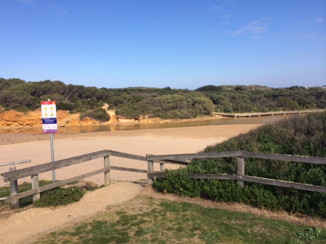
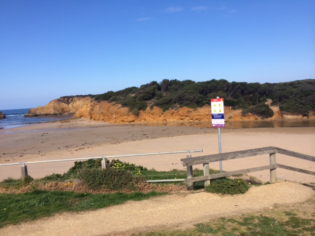
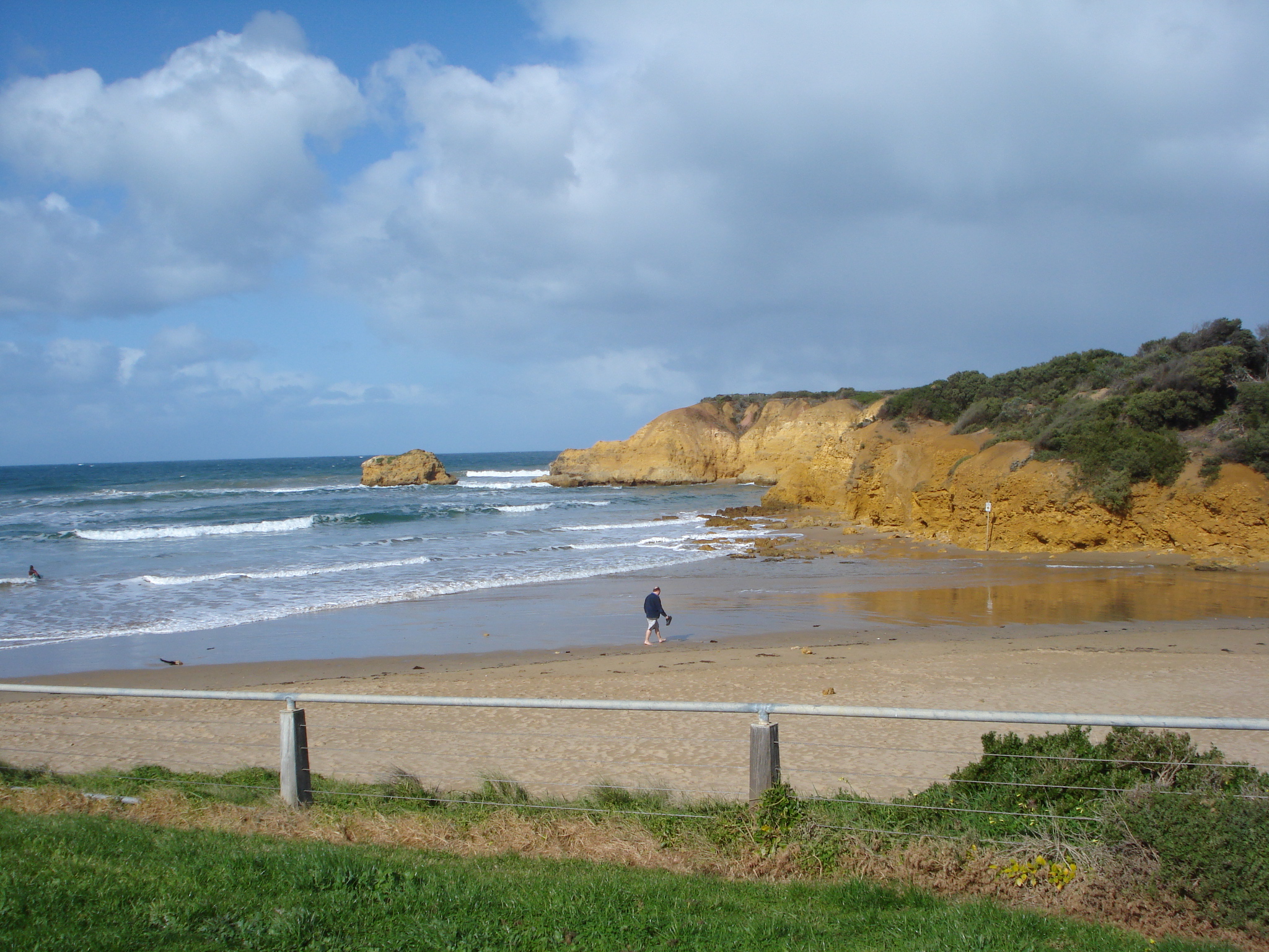
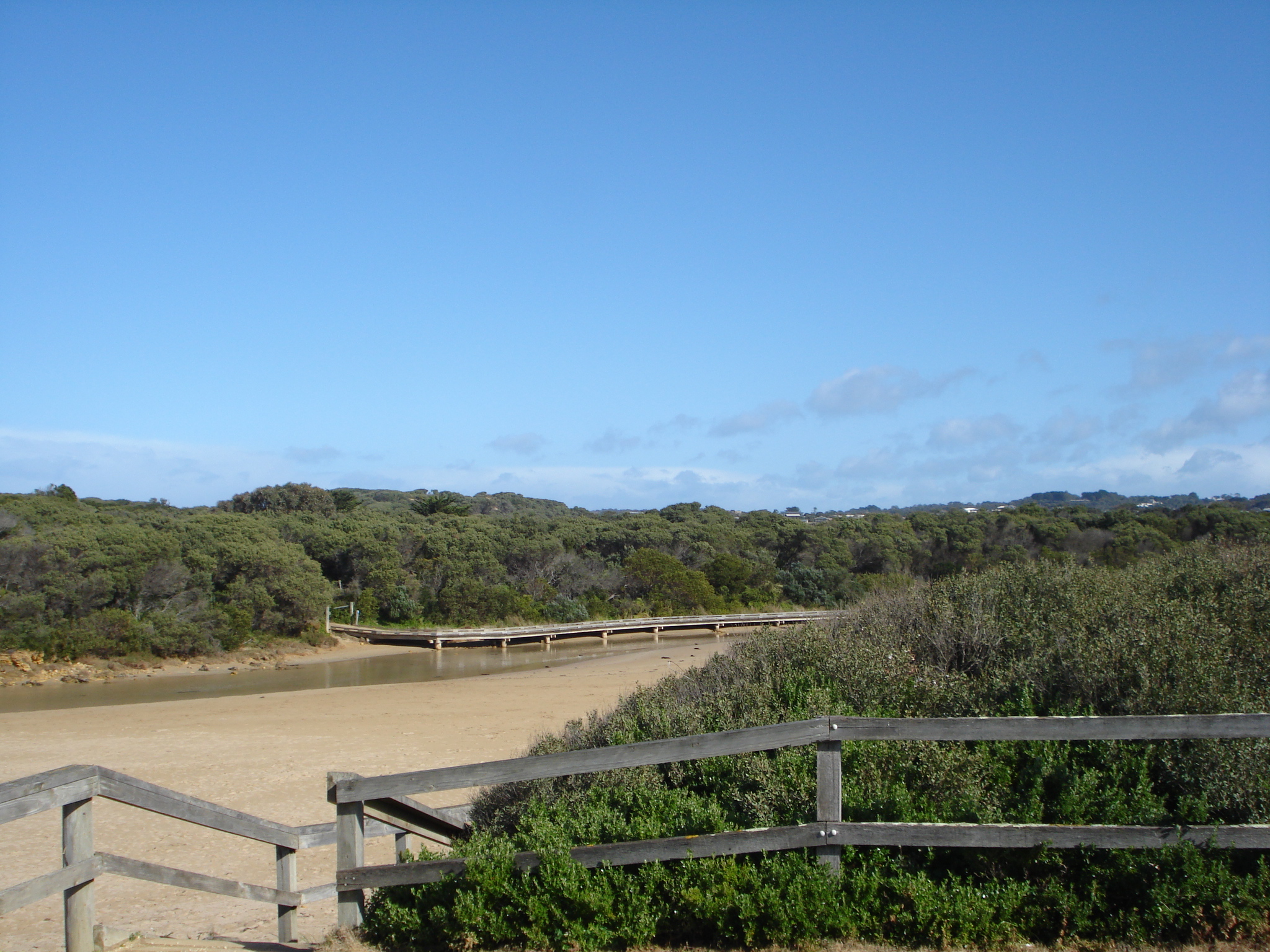
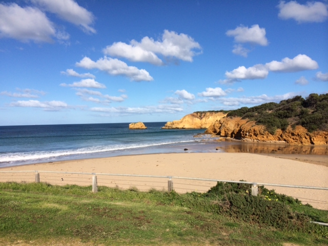
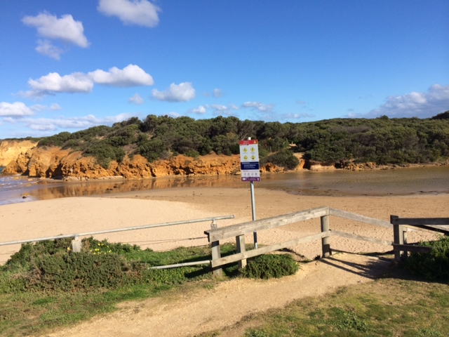
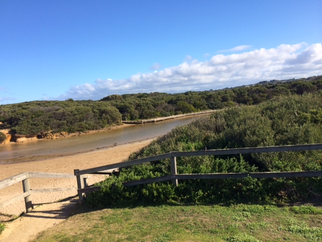
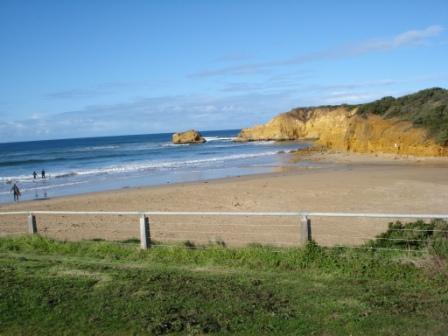
SMC Mouth Condition Observation Site
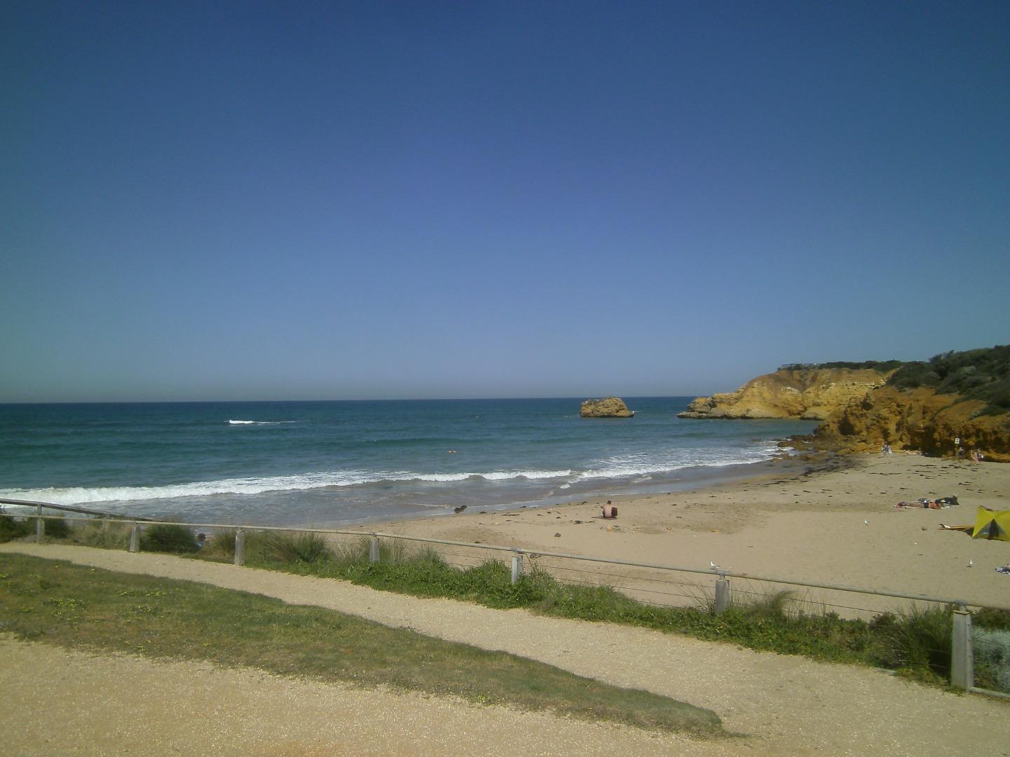
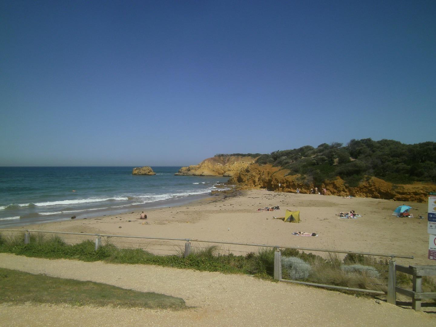
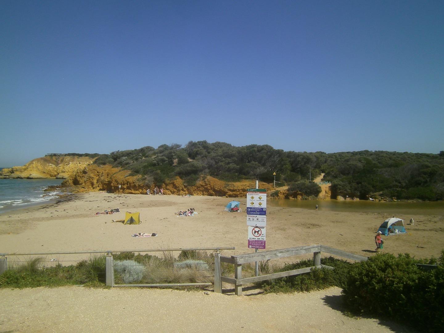
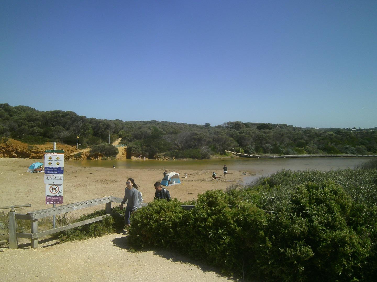
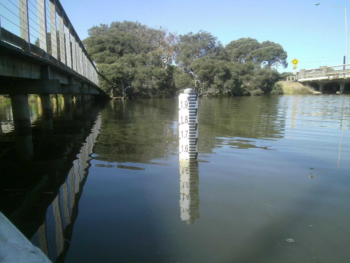
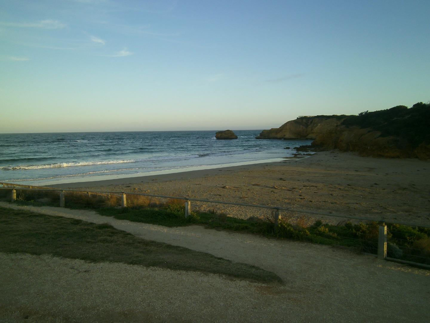
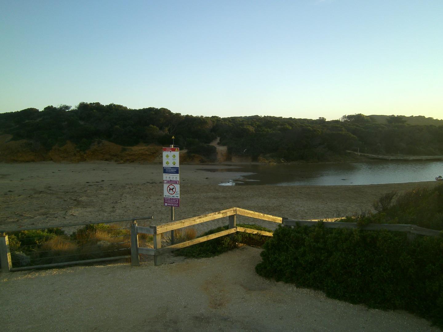
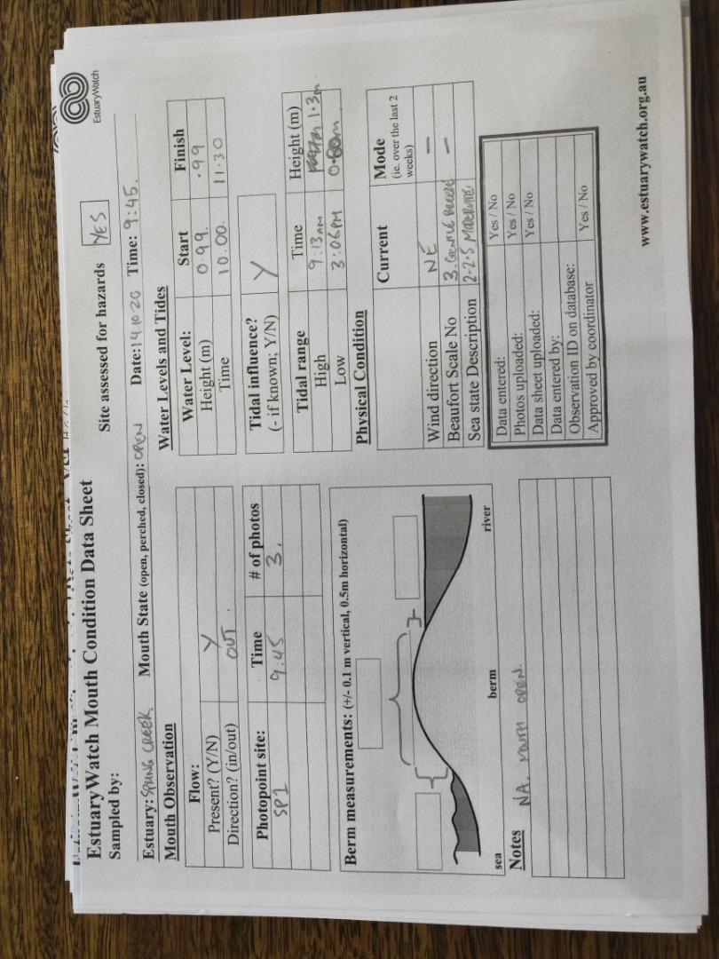
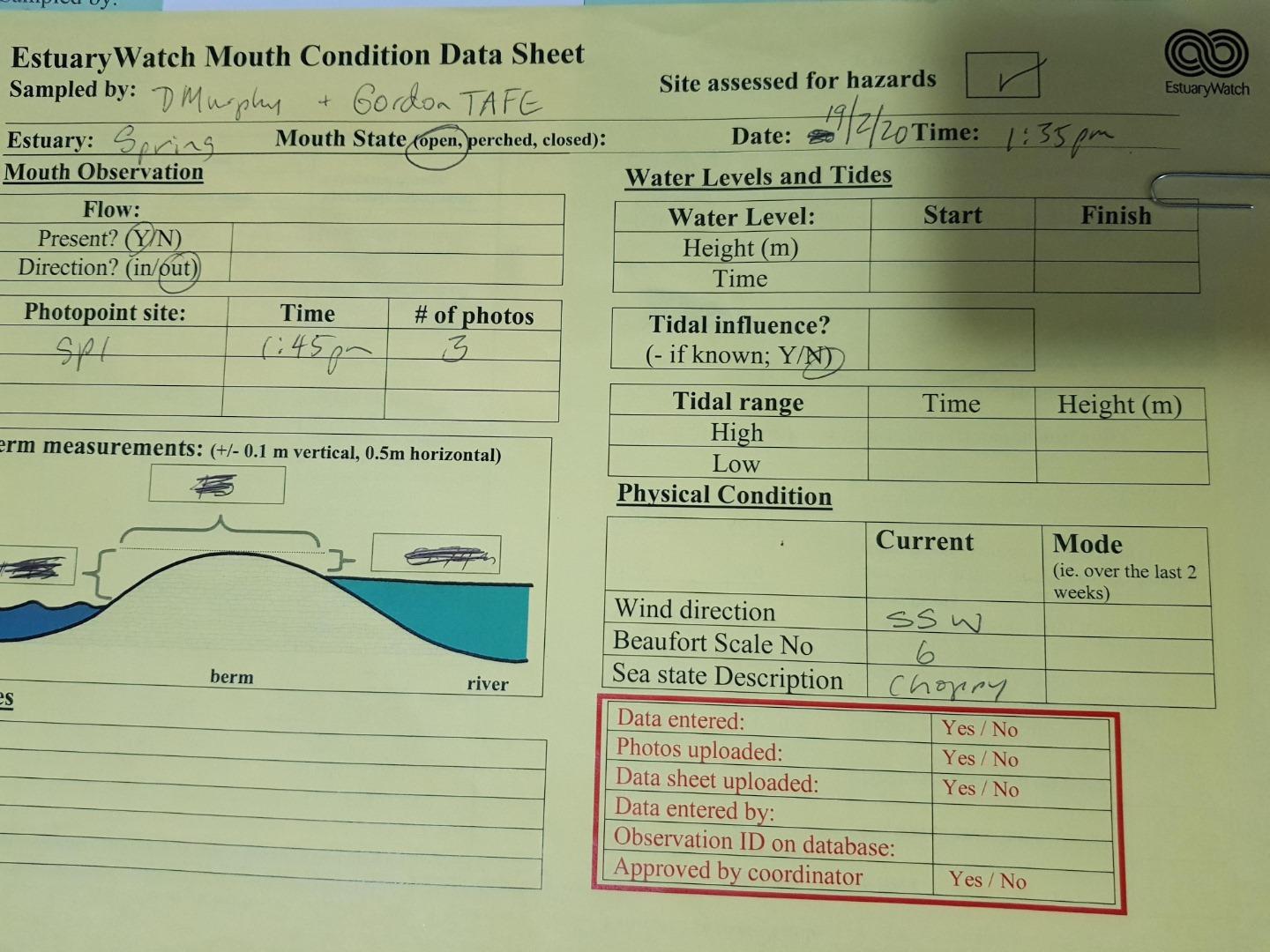
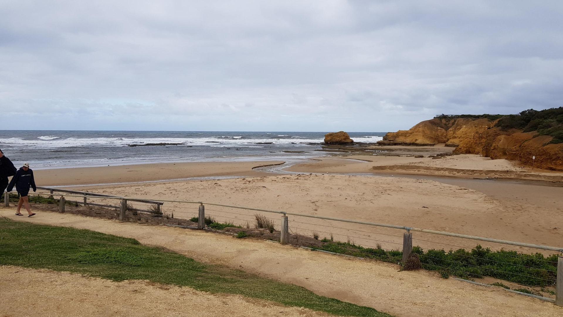
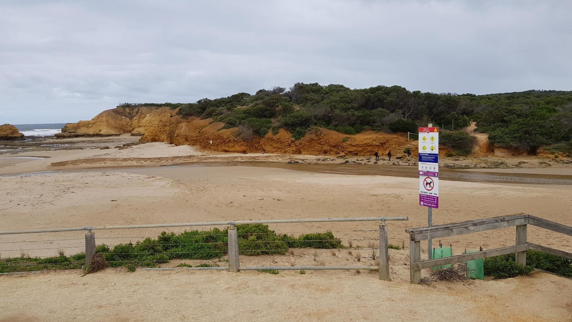
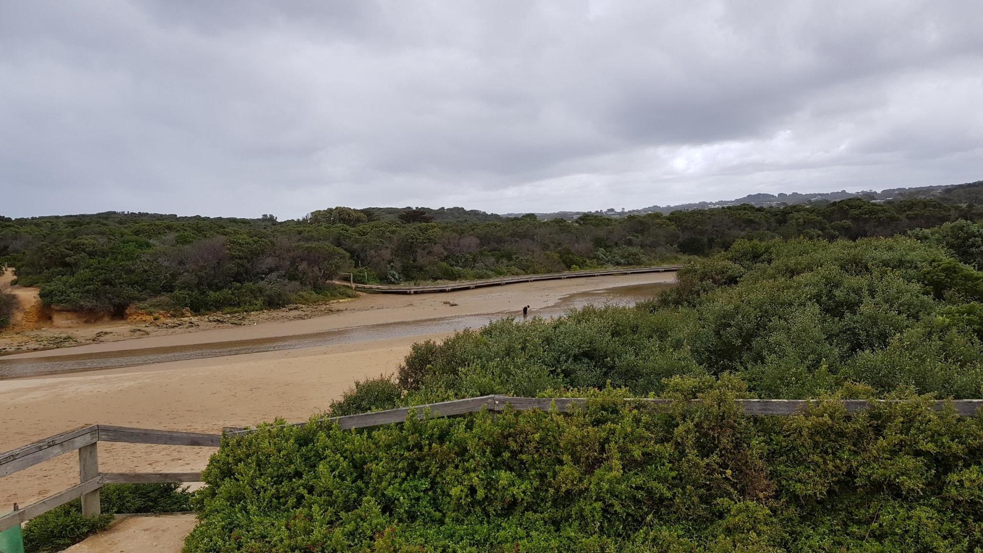
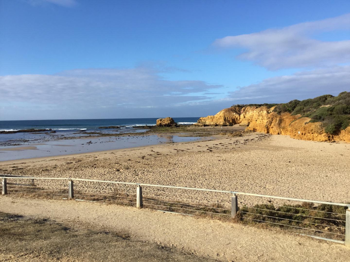
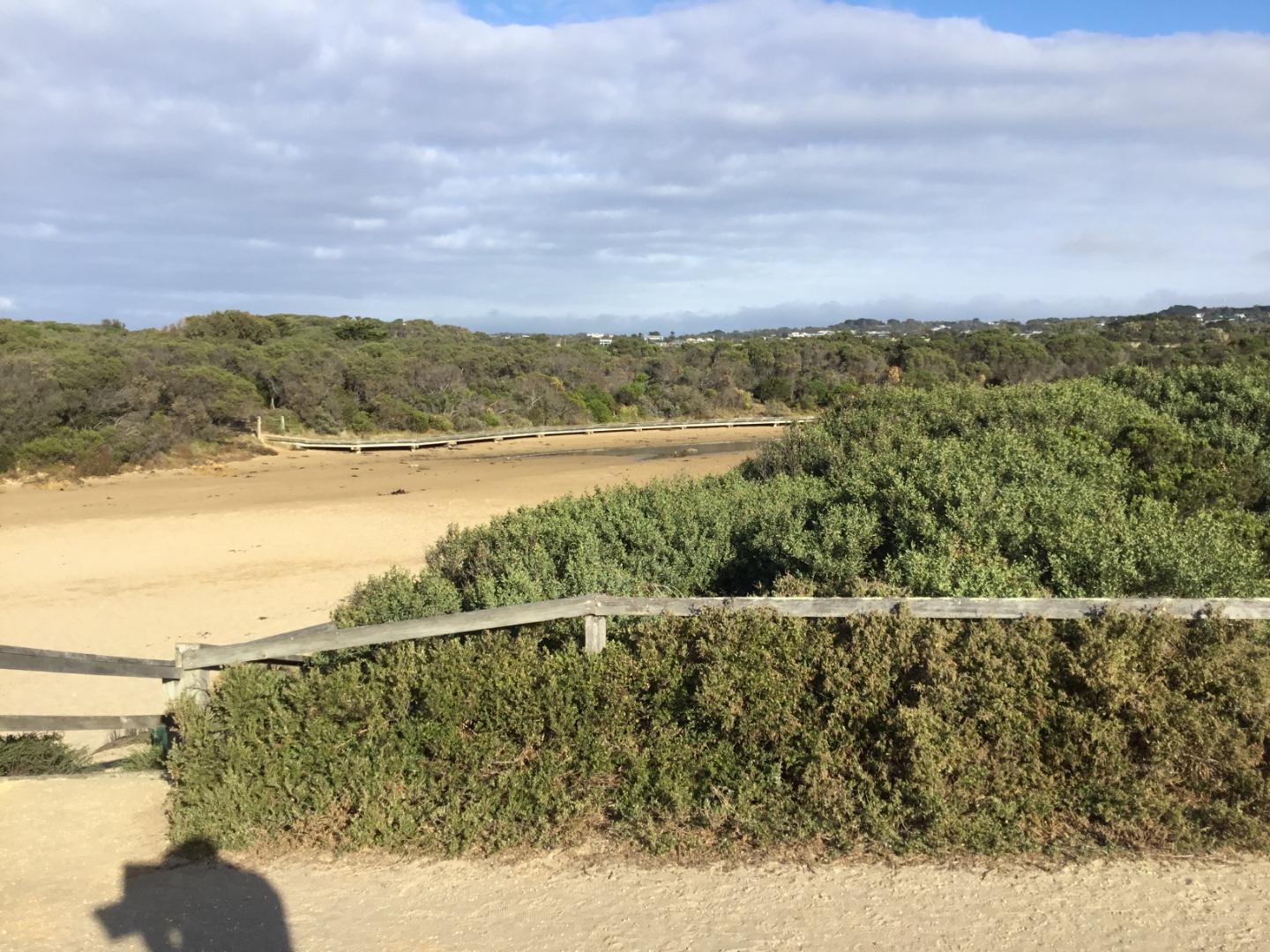
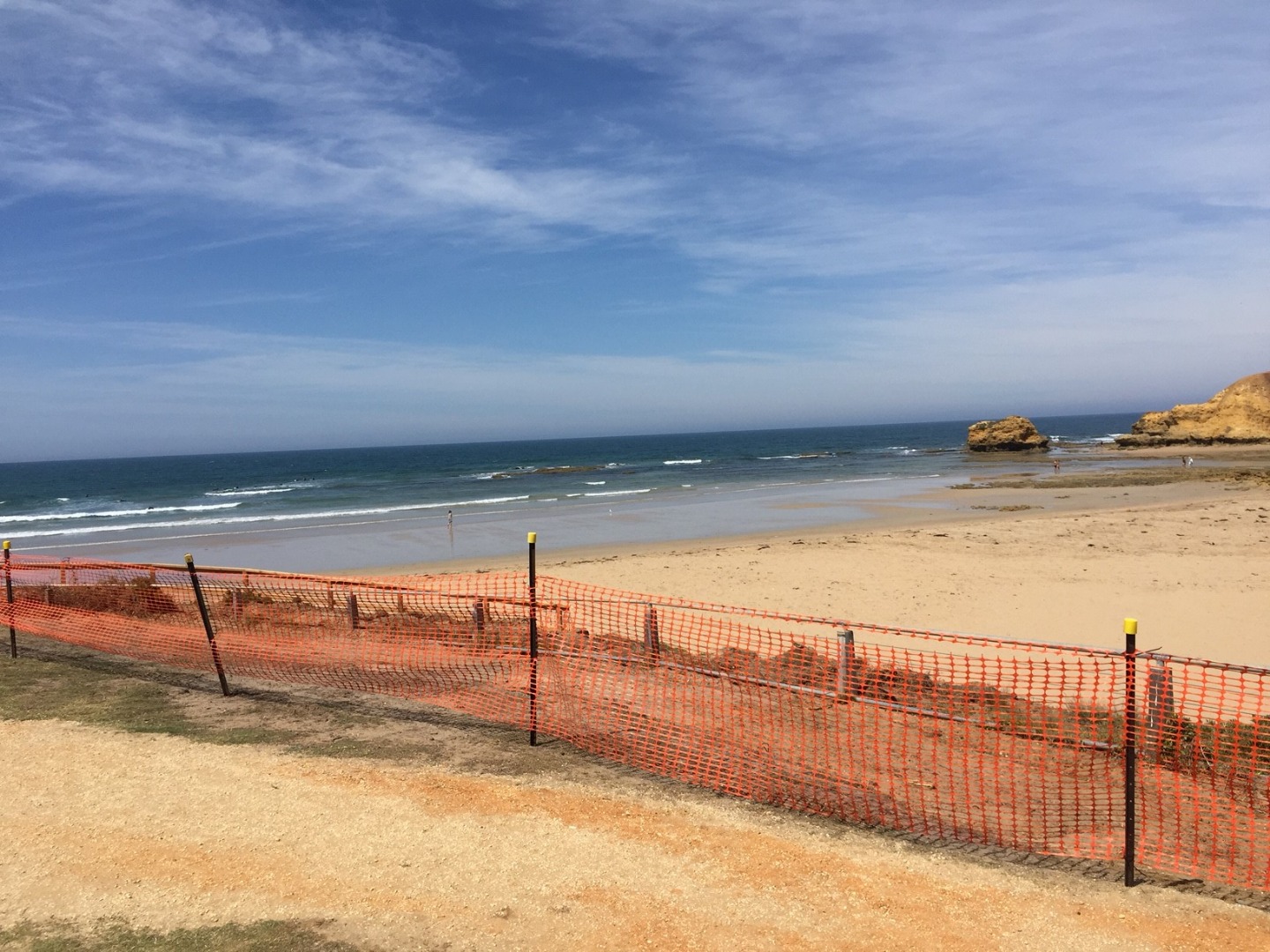
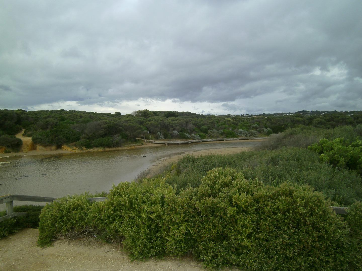
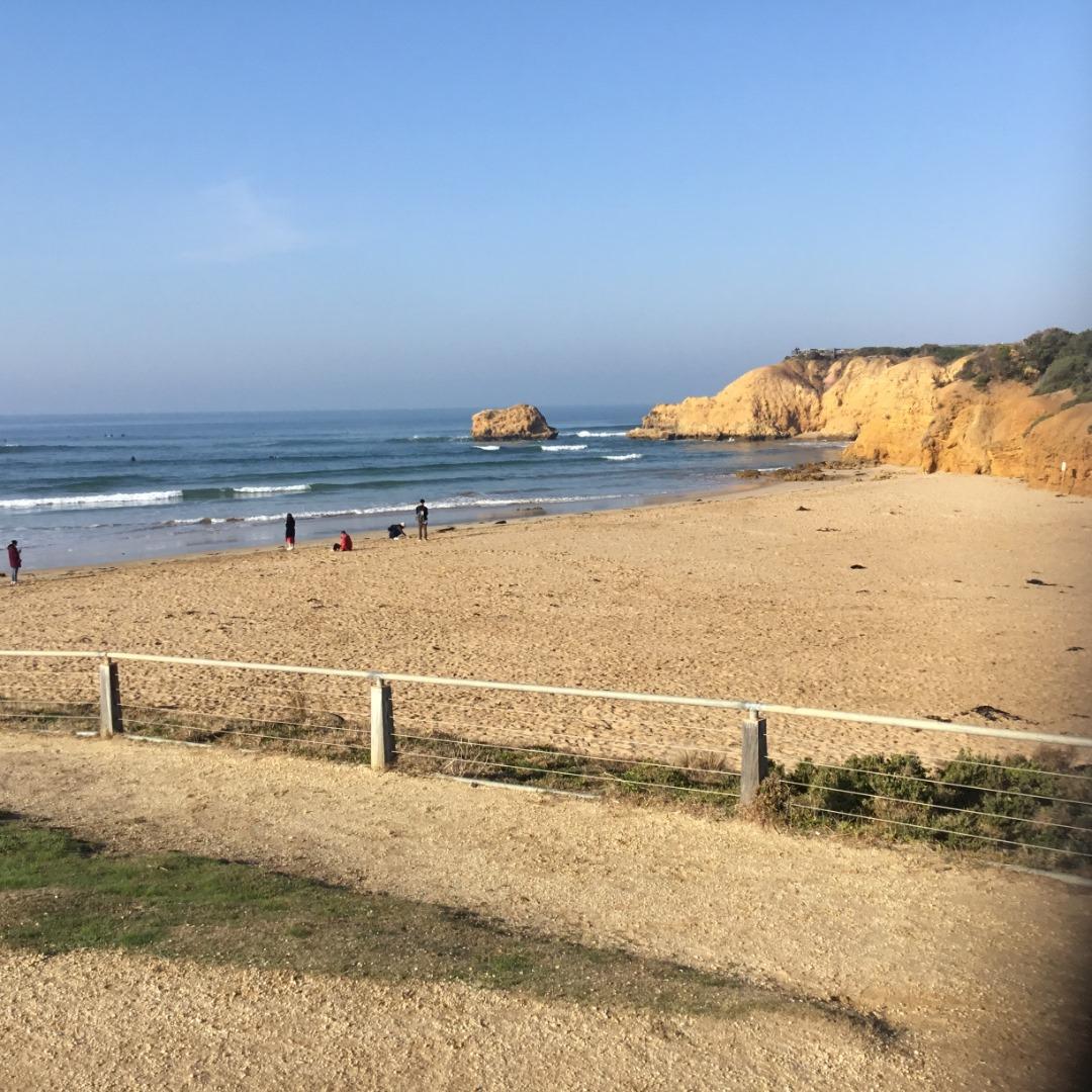
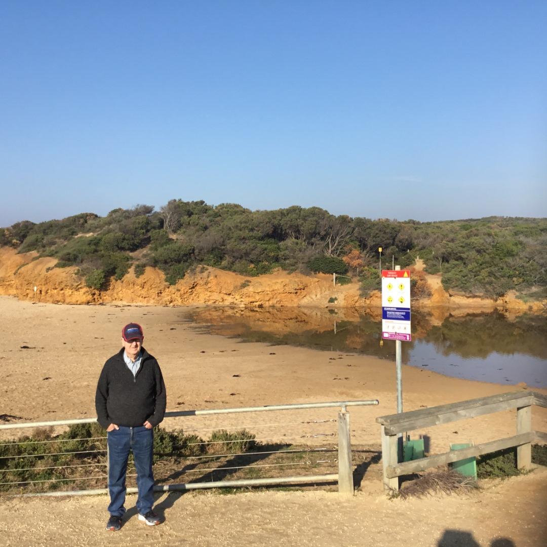
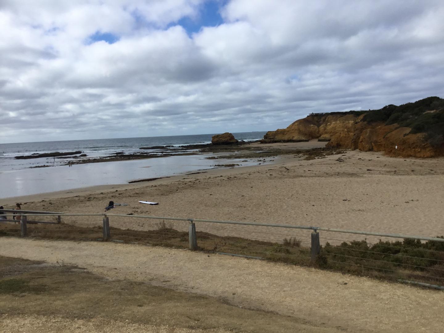
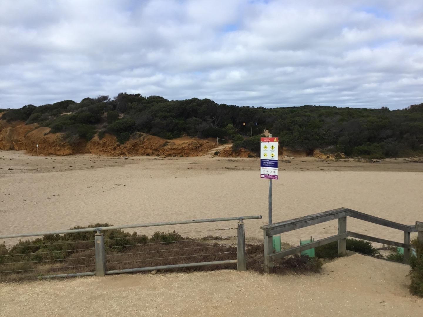
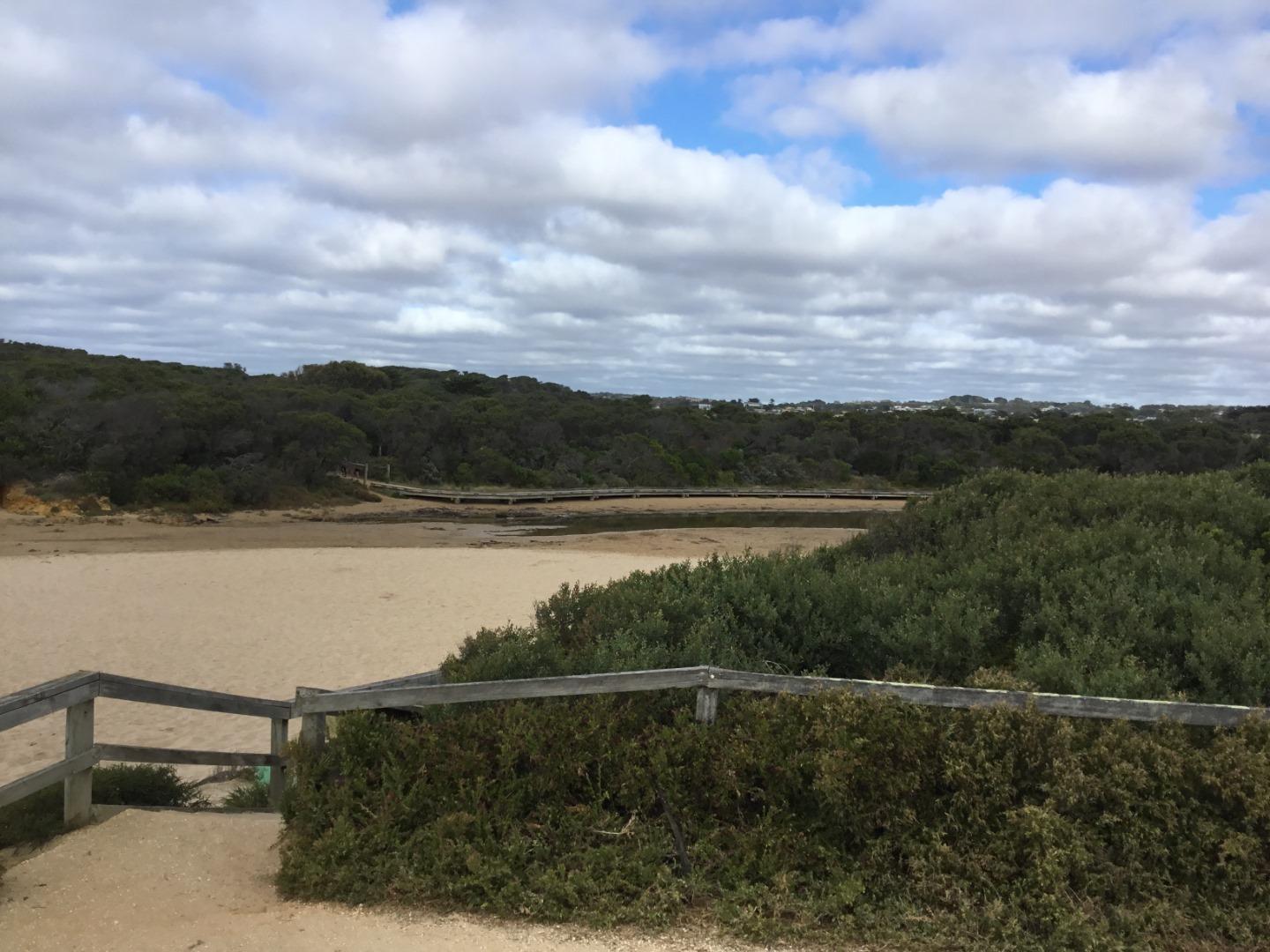
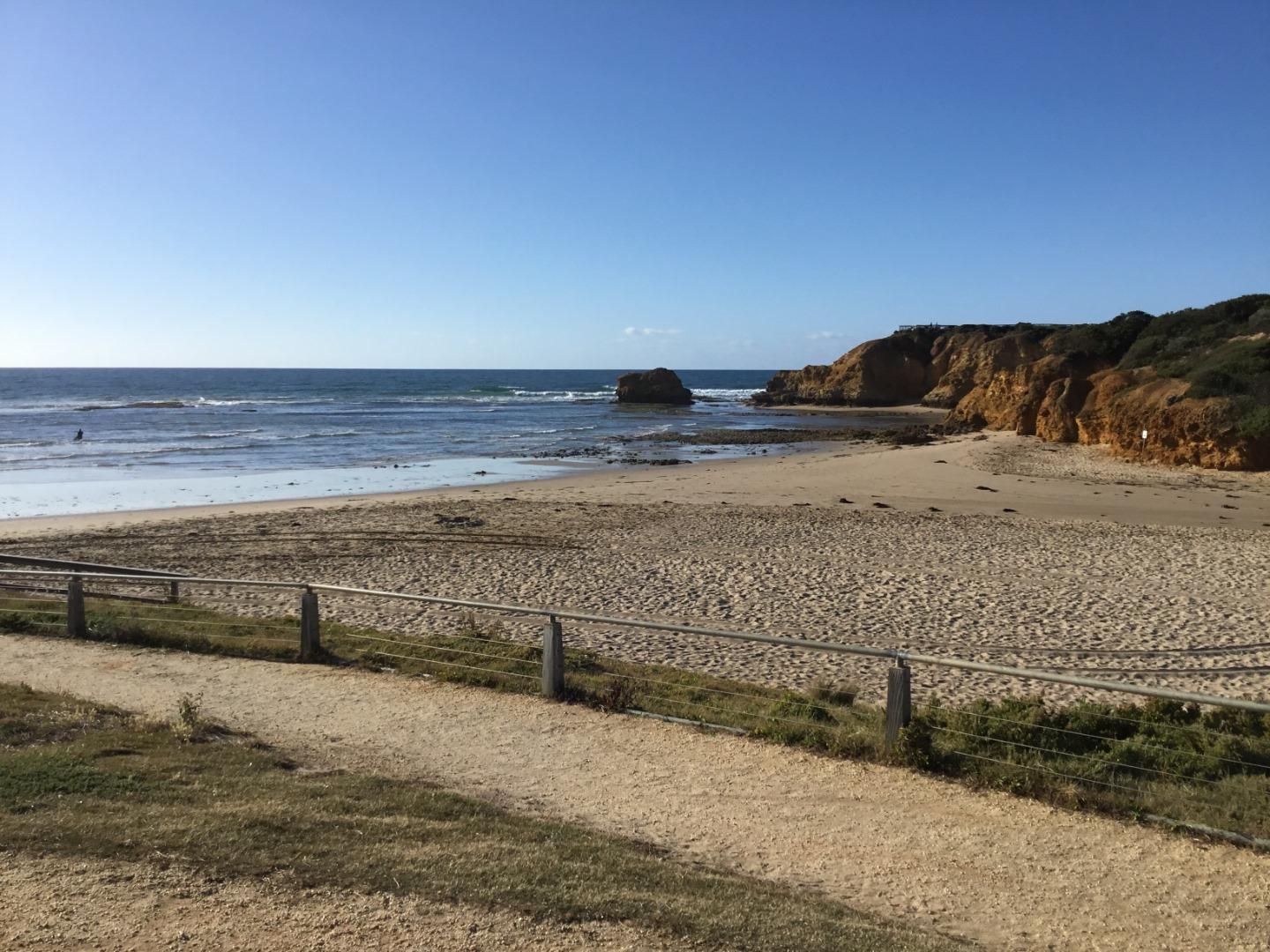
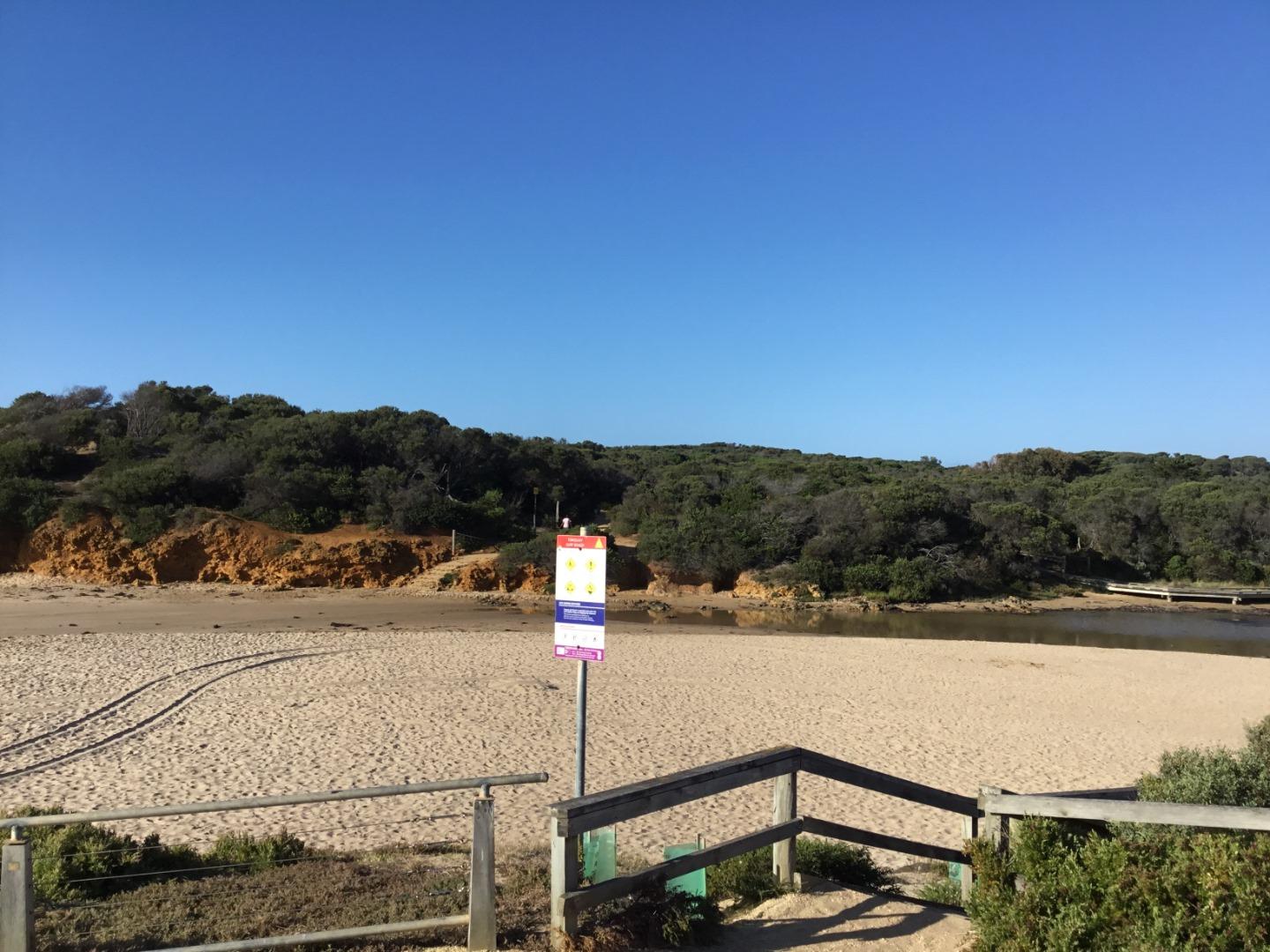
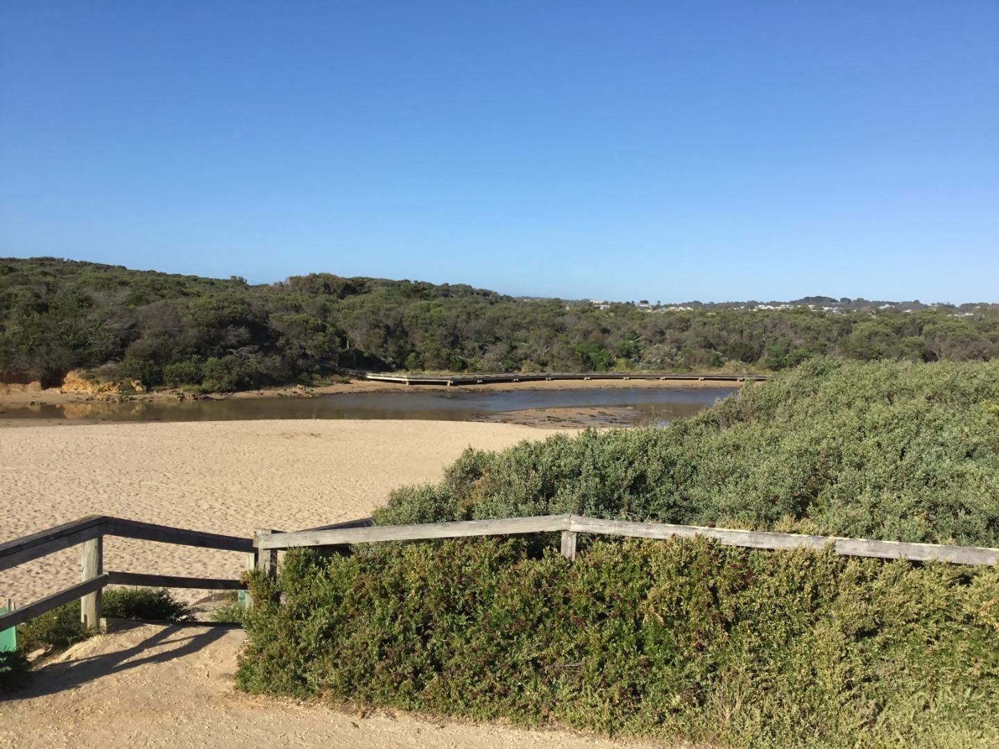
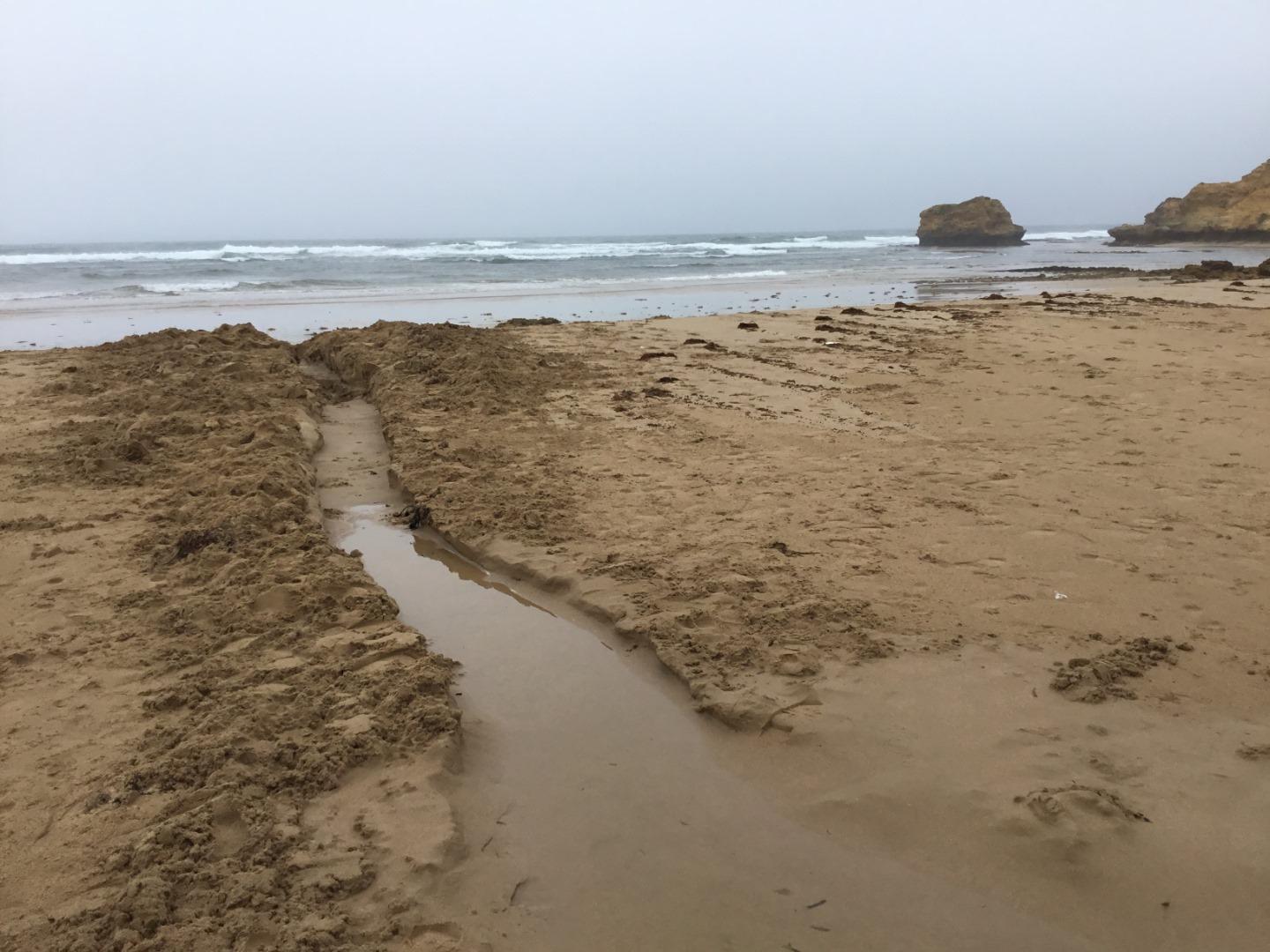
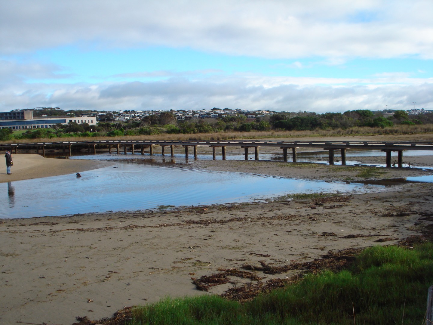
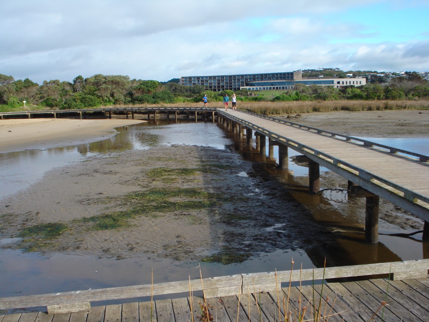
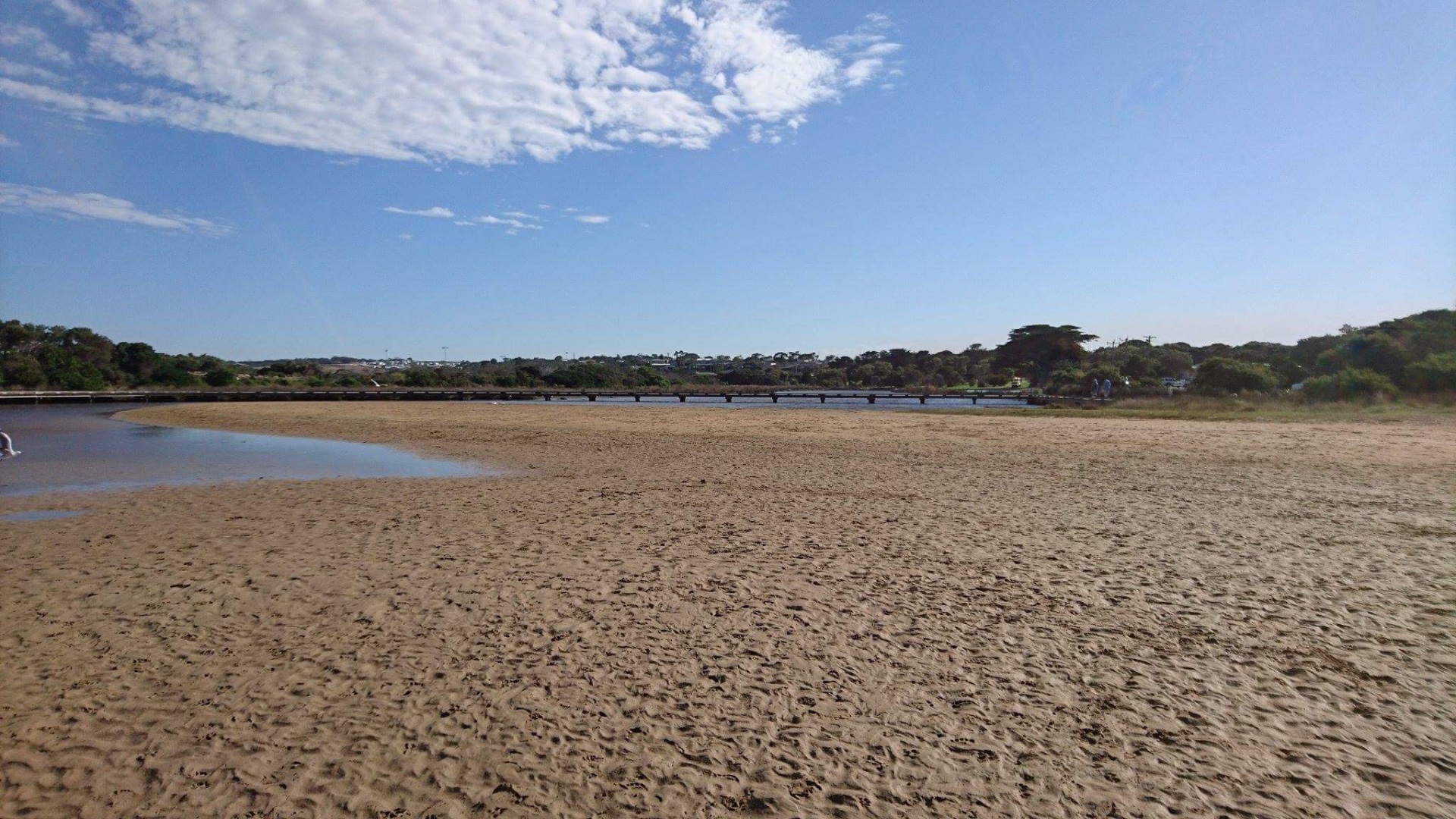
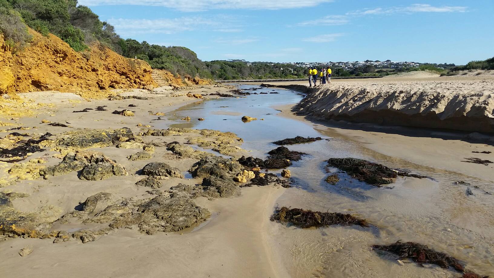
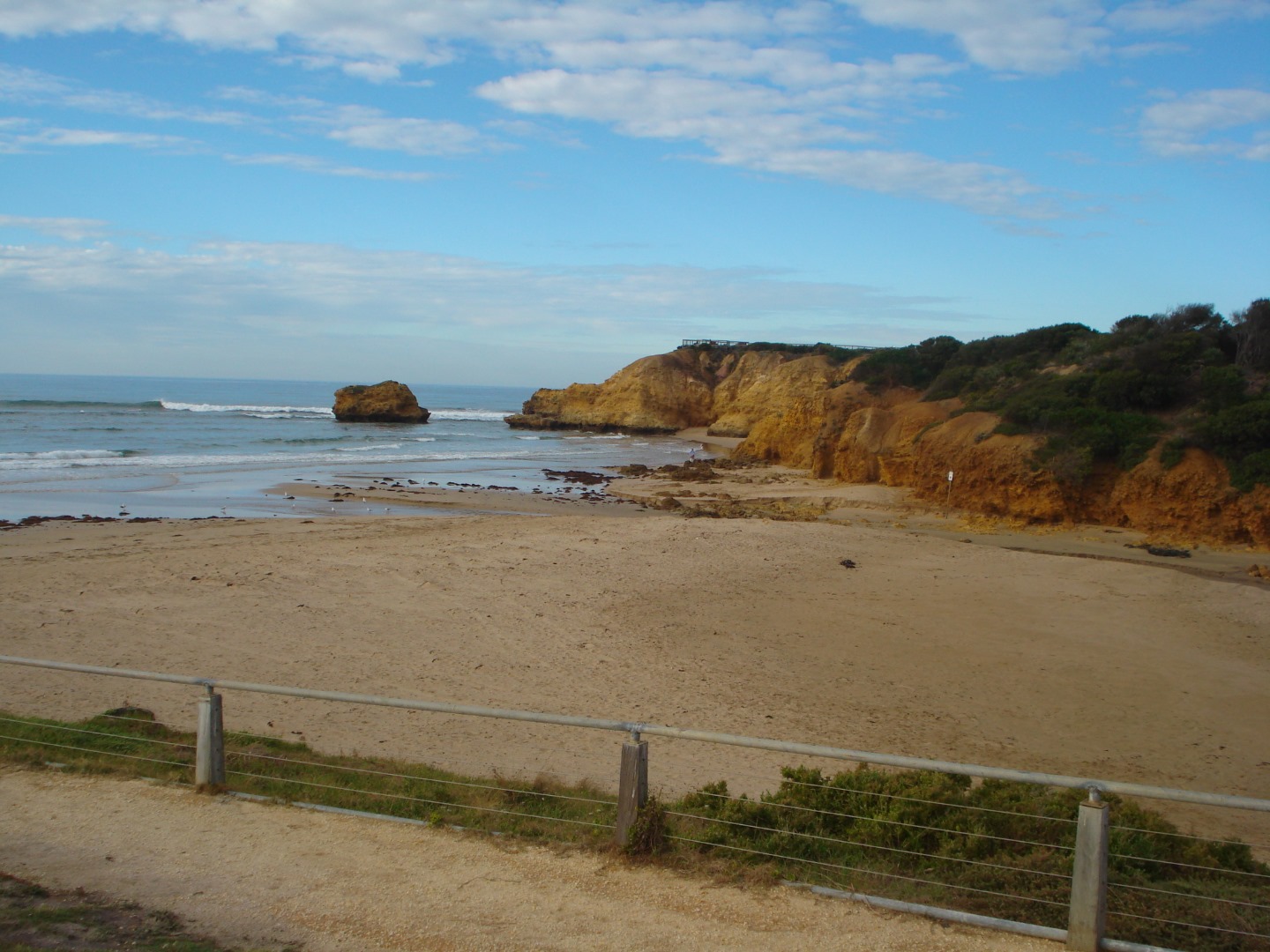
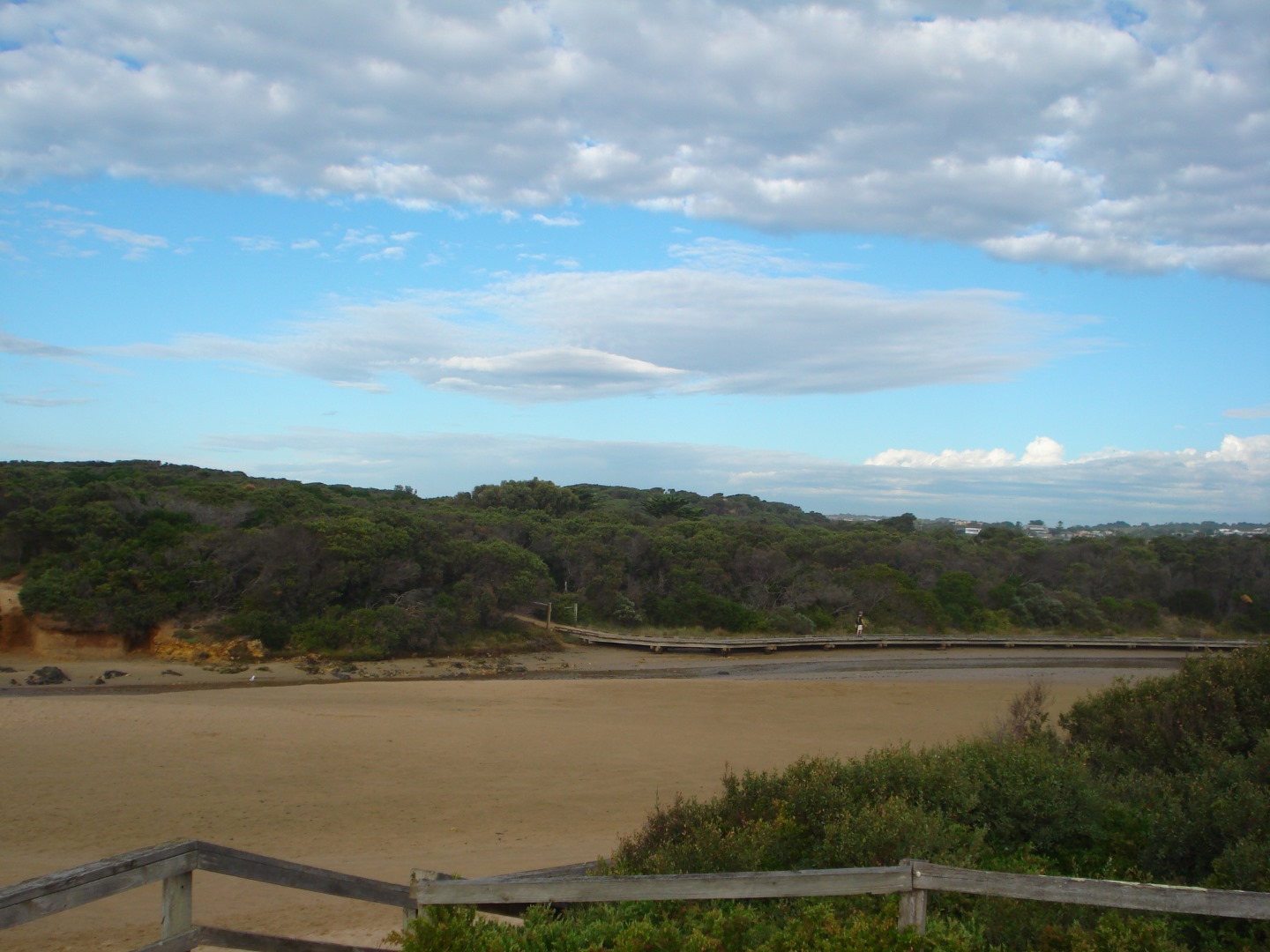
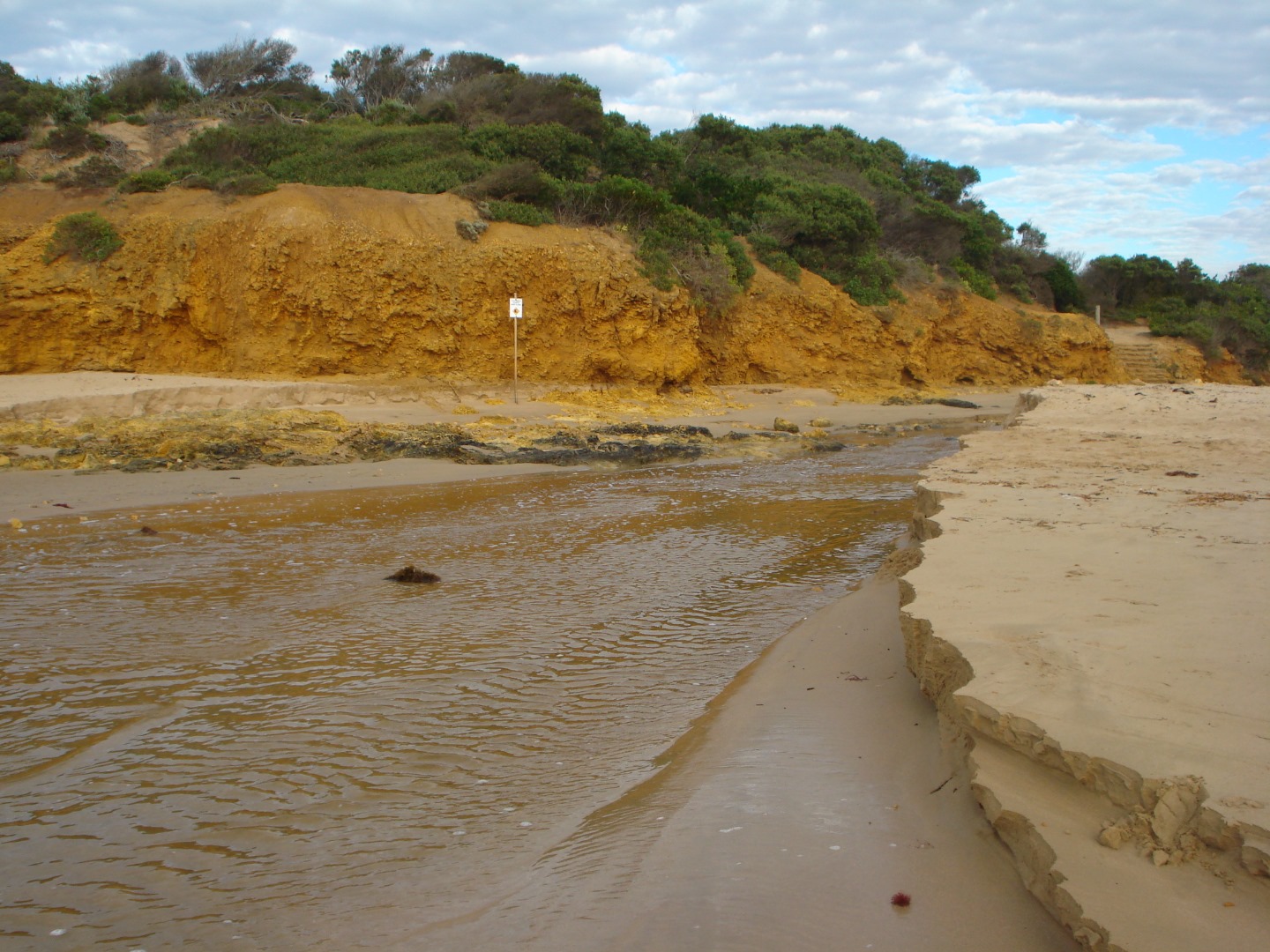
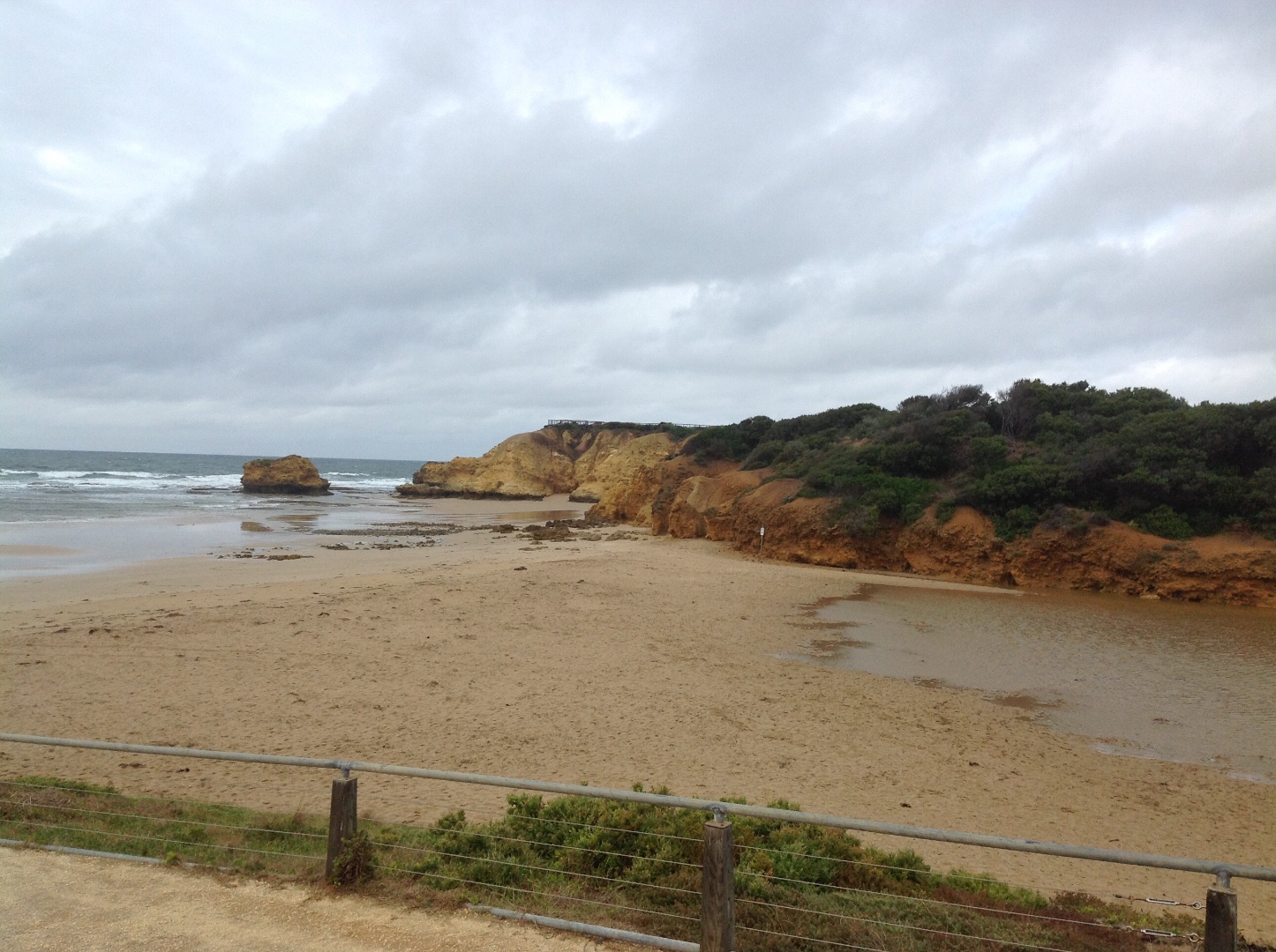
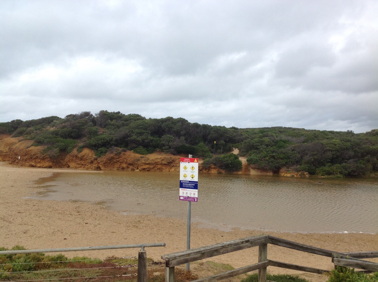
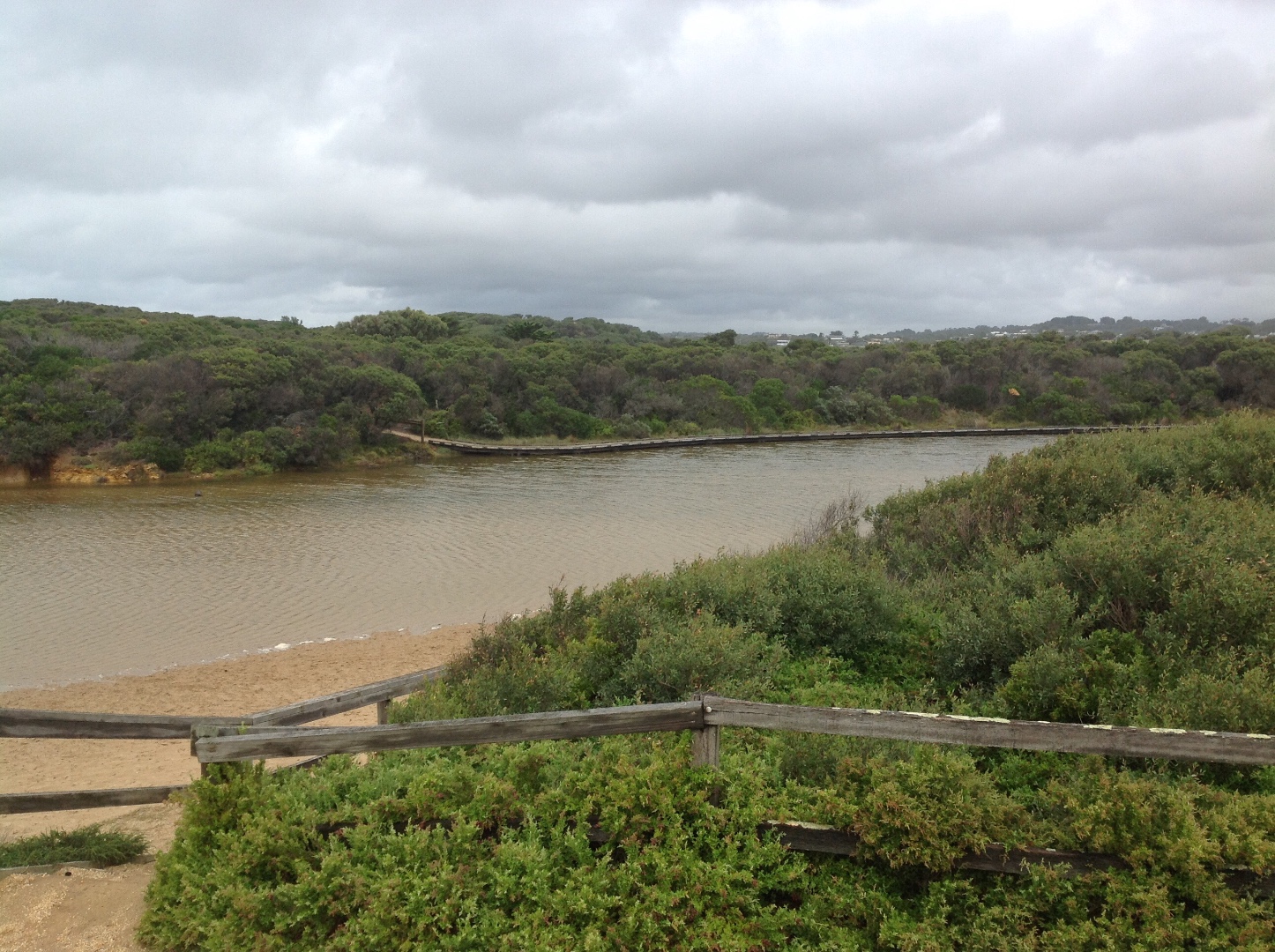
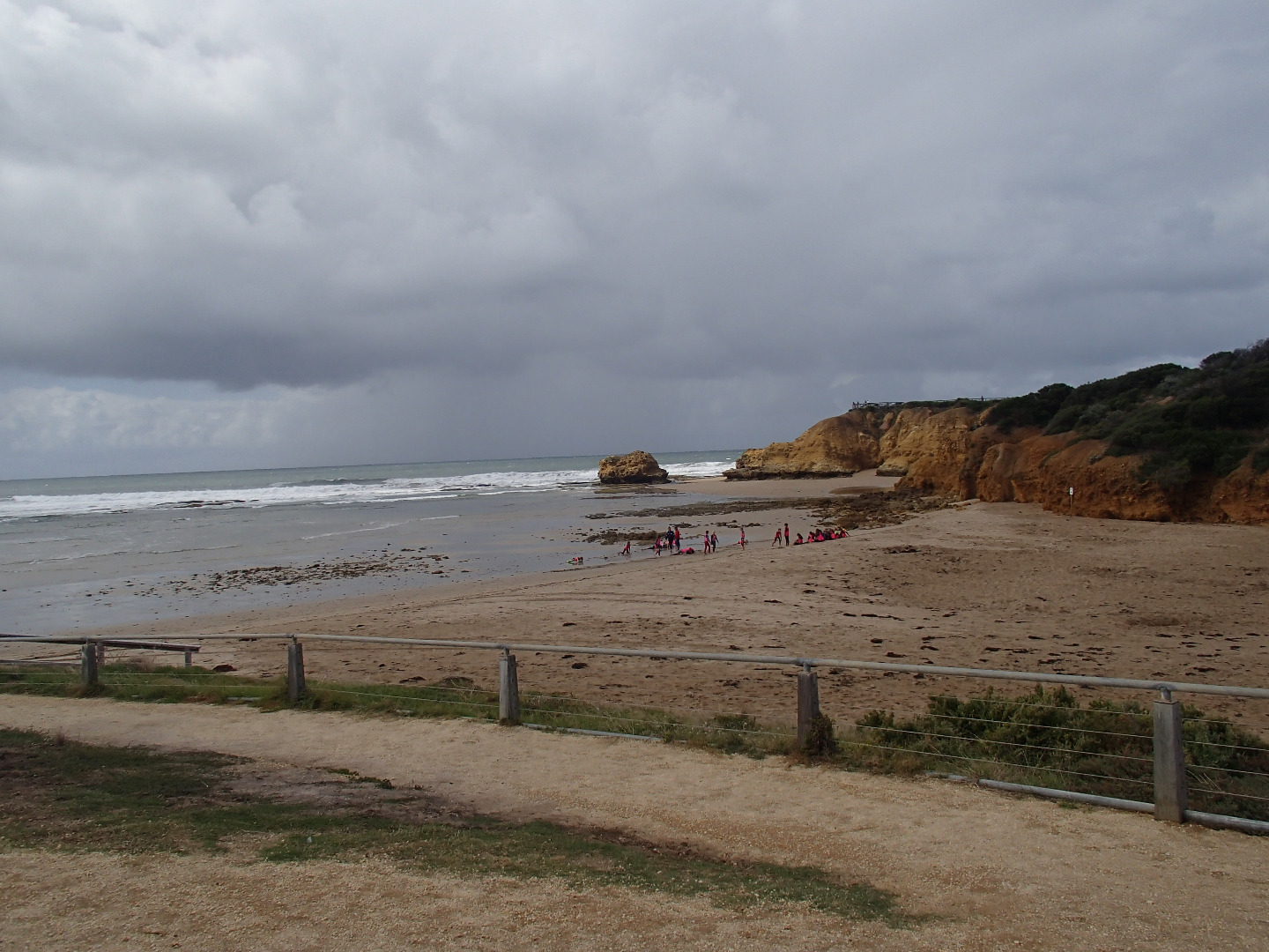
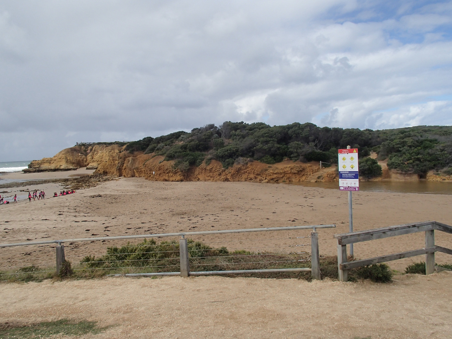
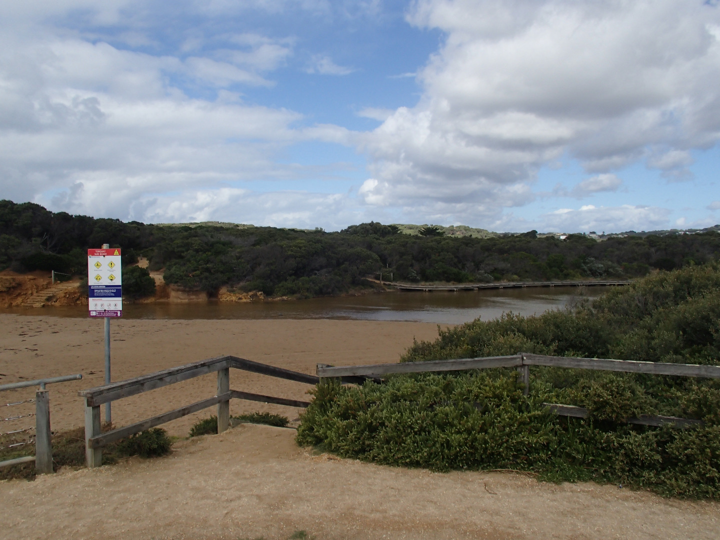
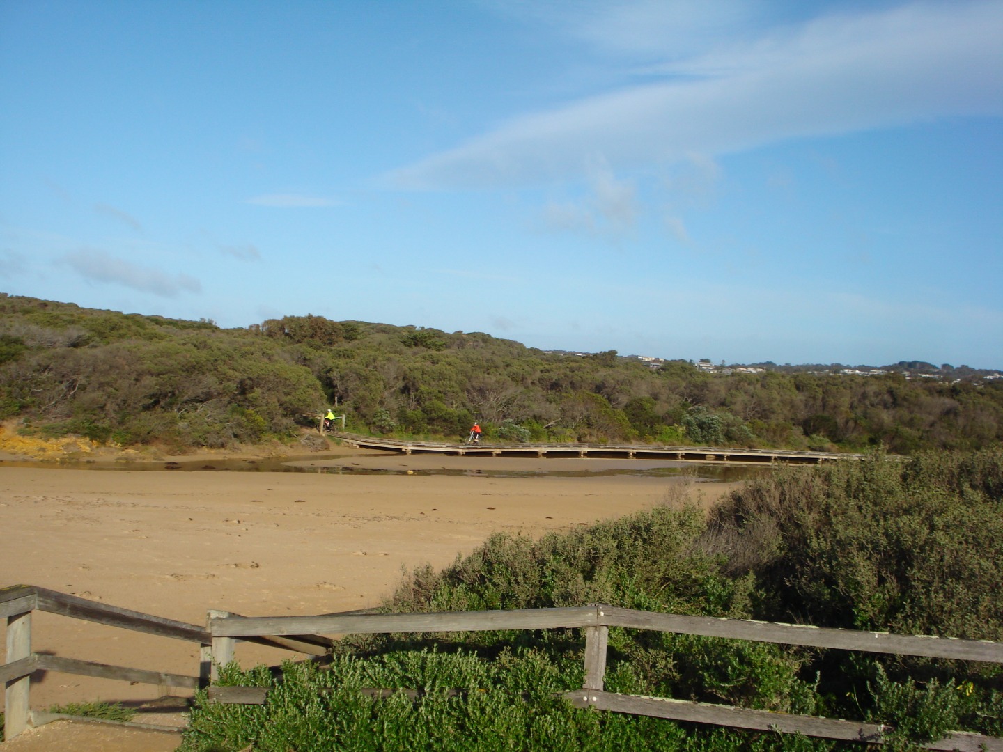
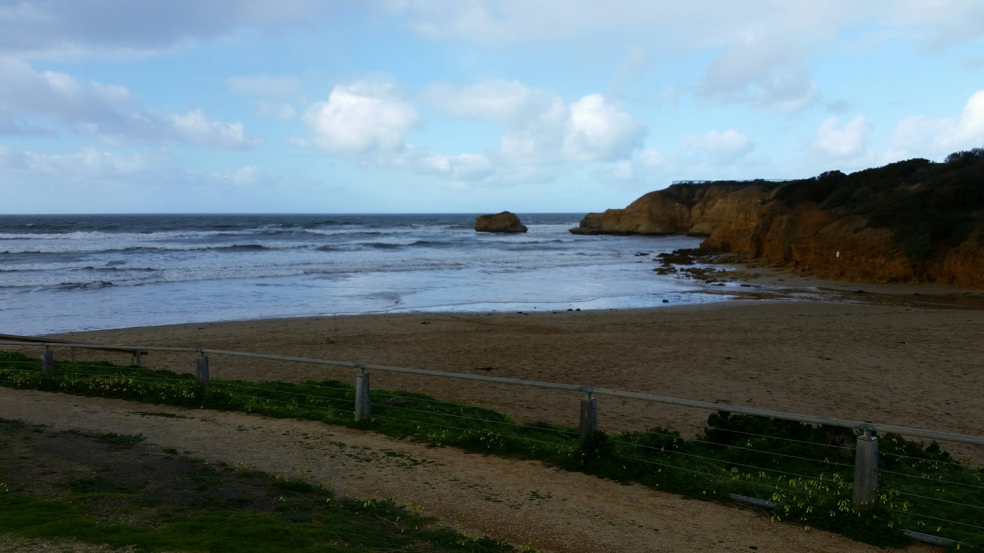
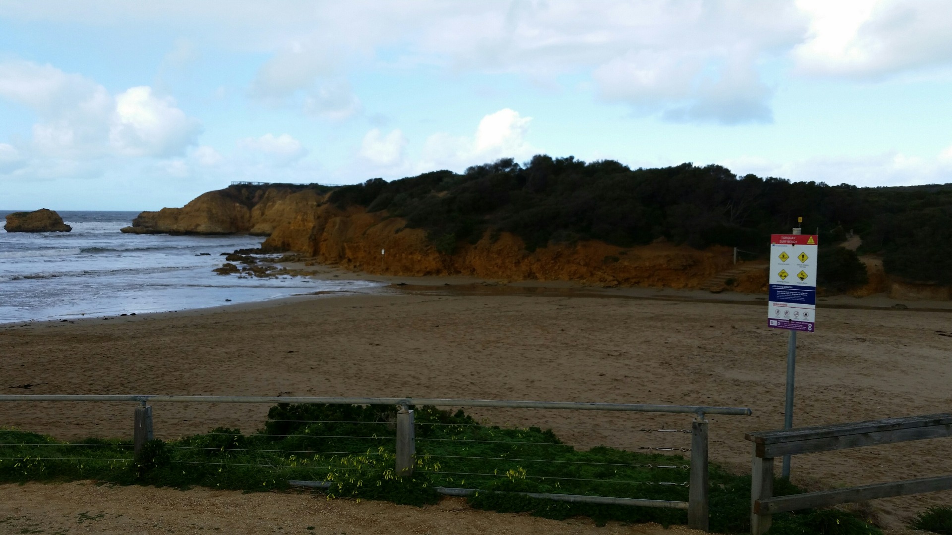
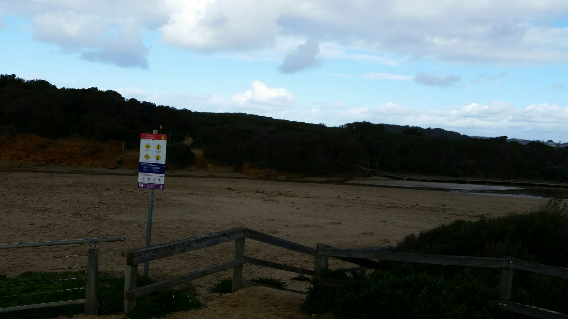
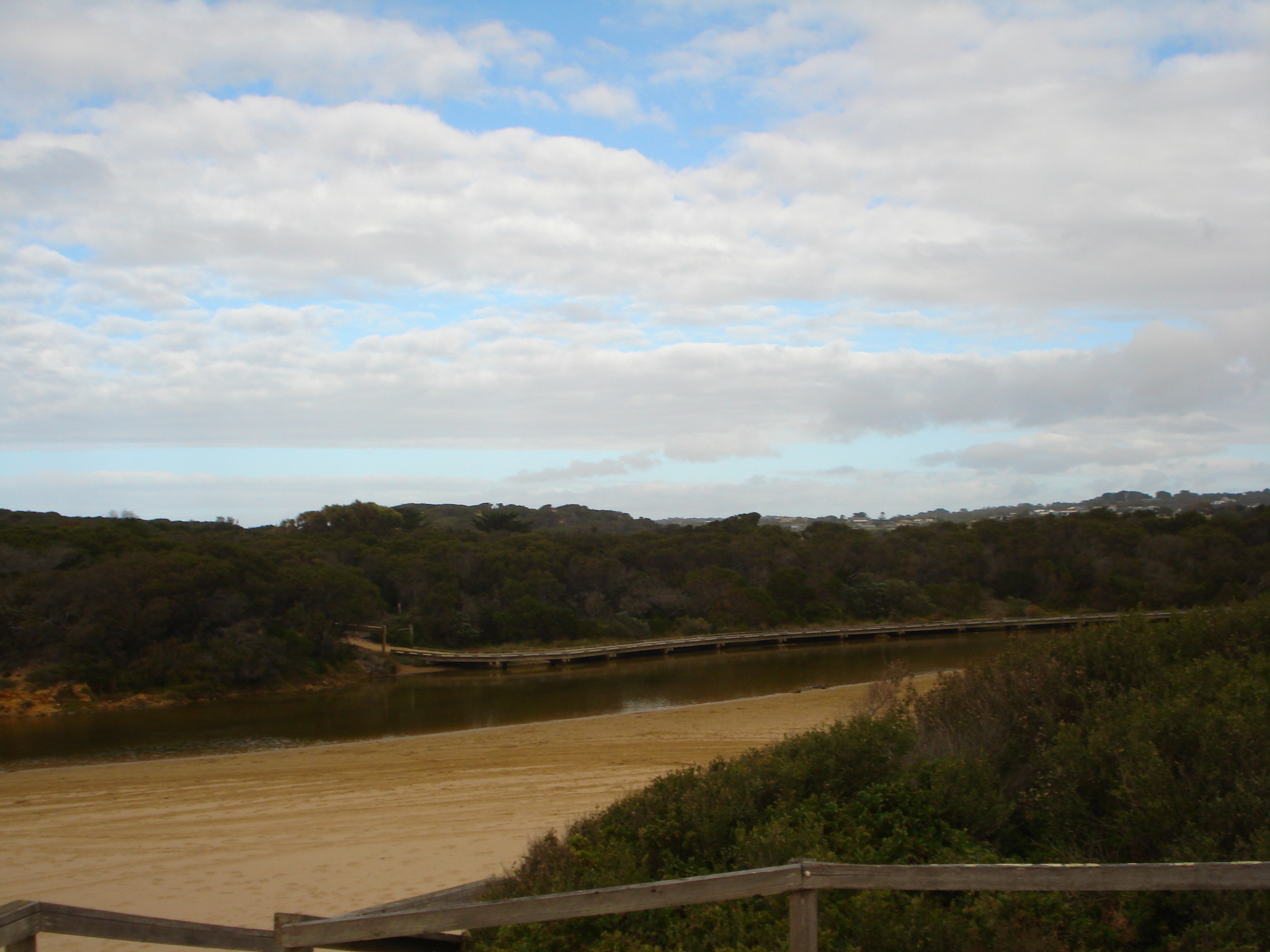
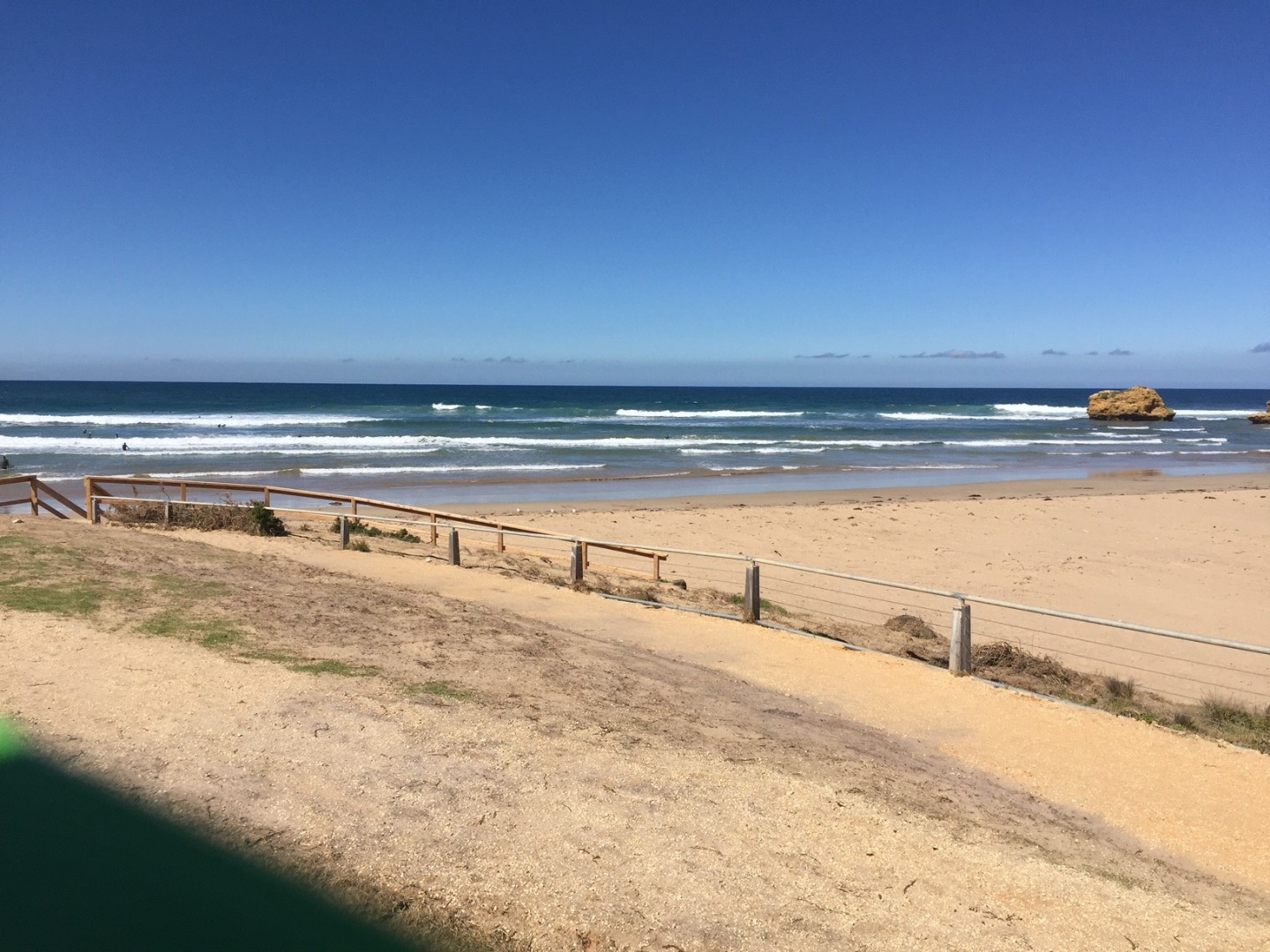
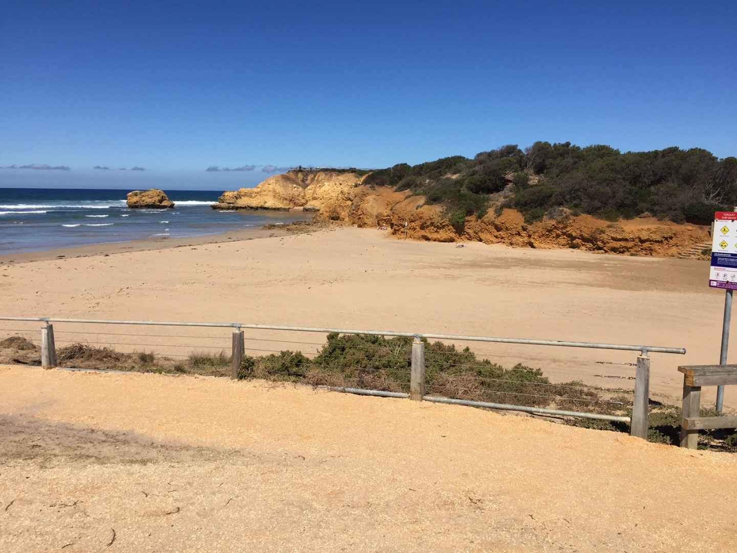
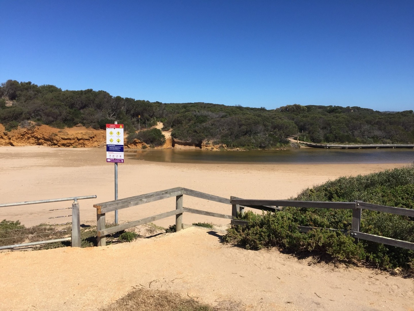
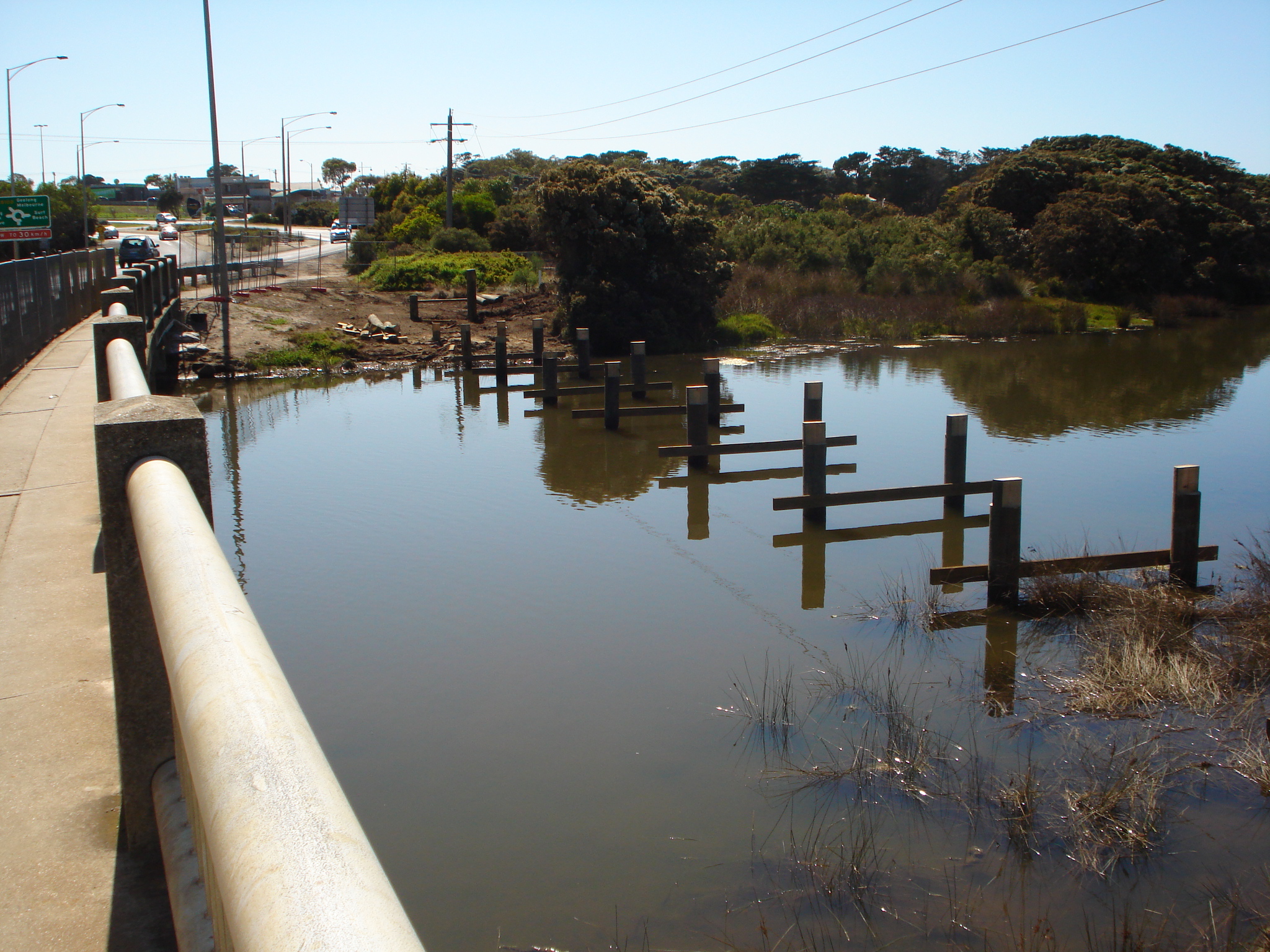
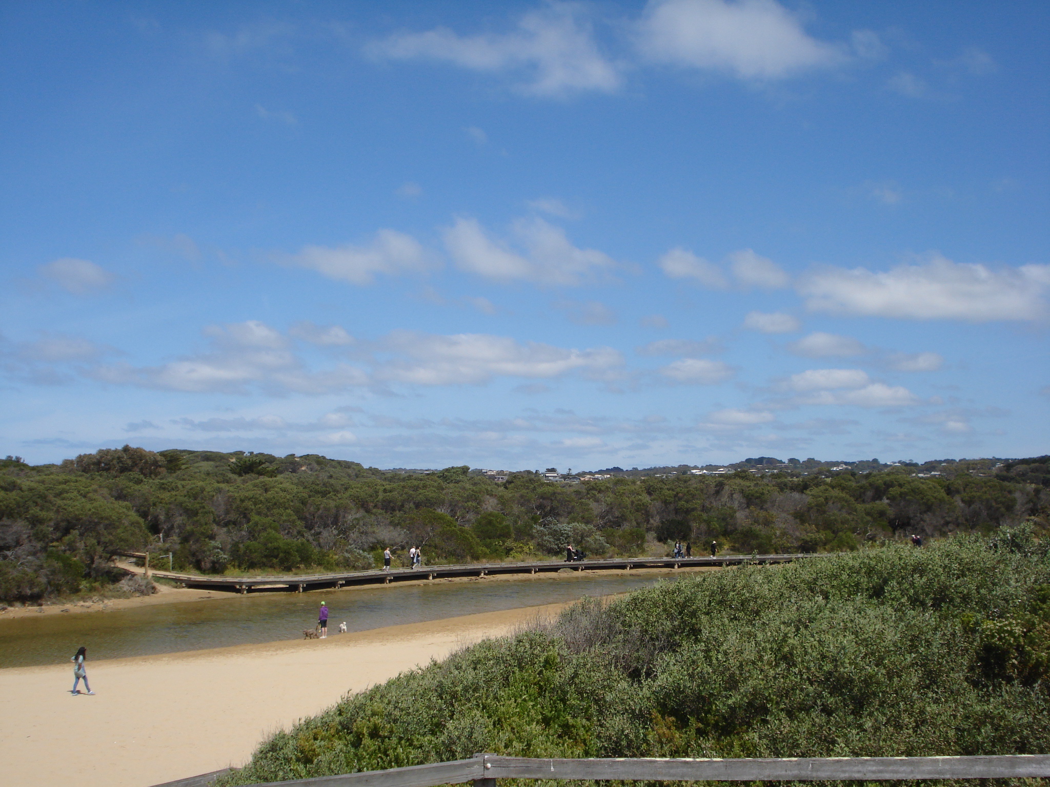
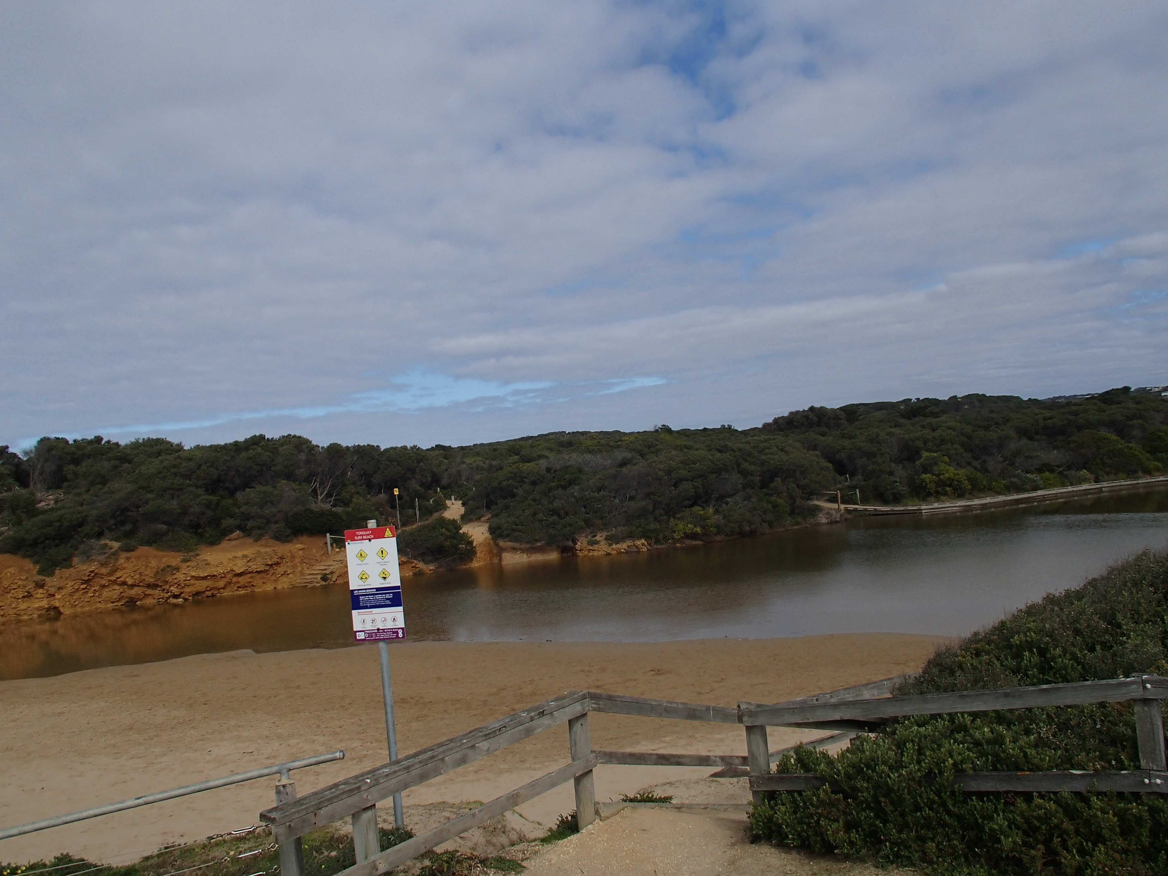
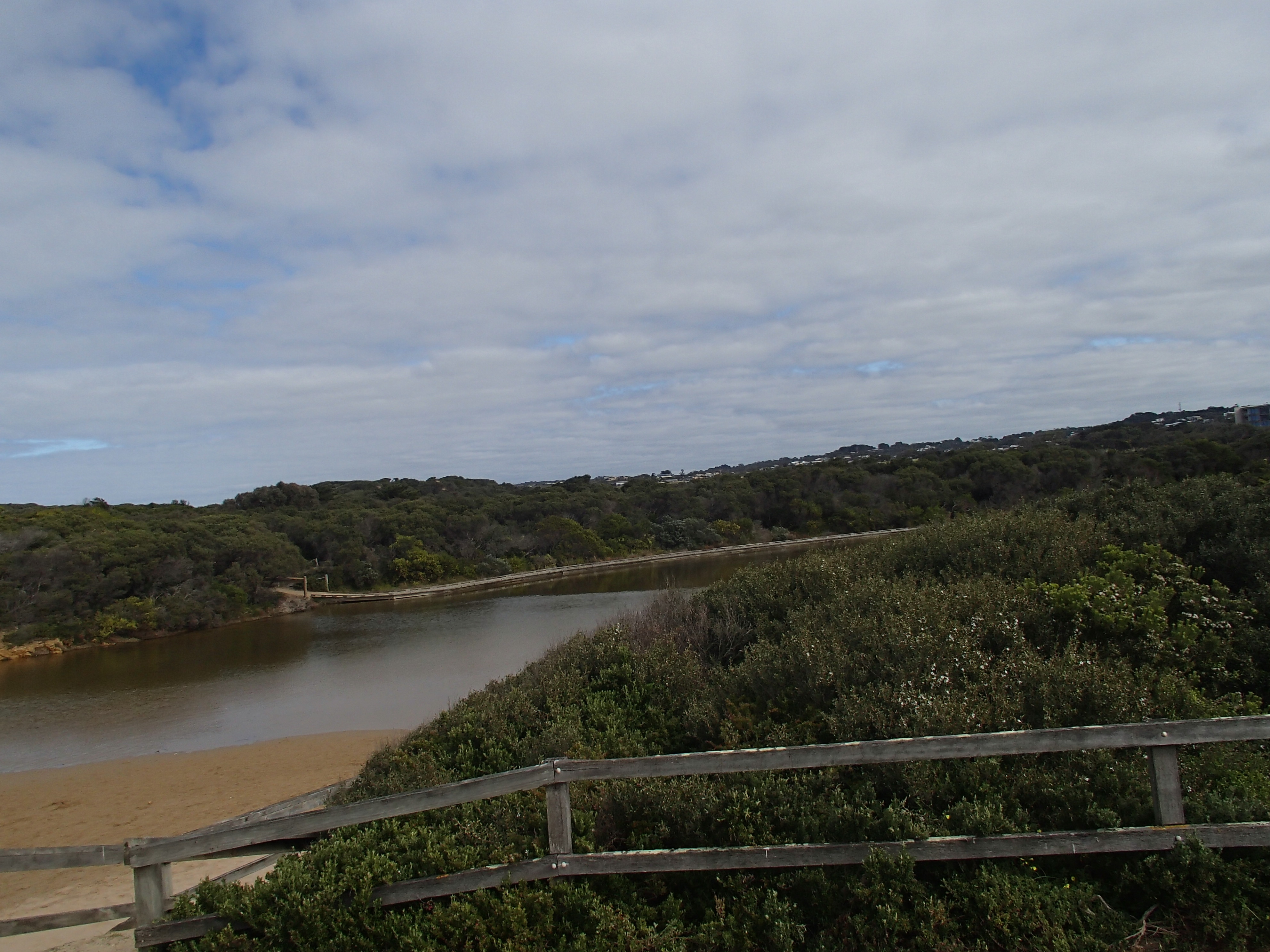
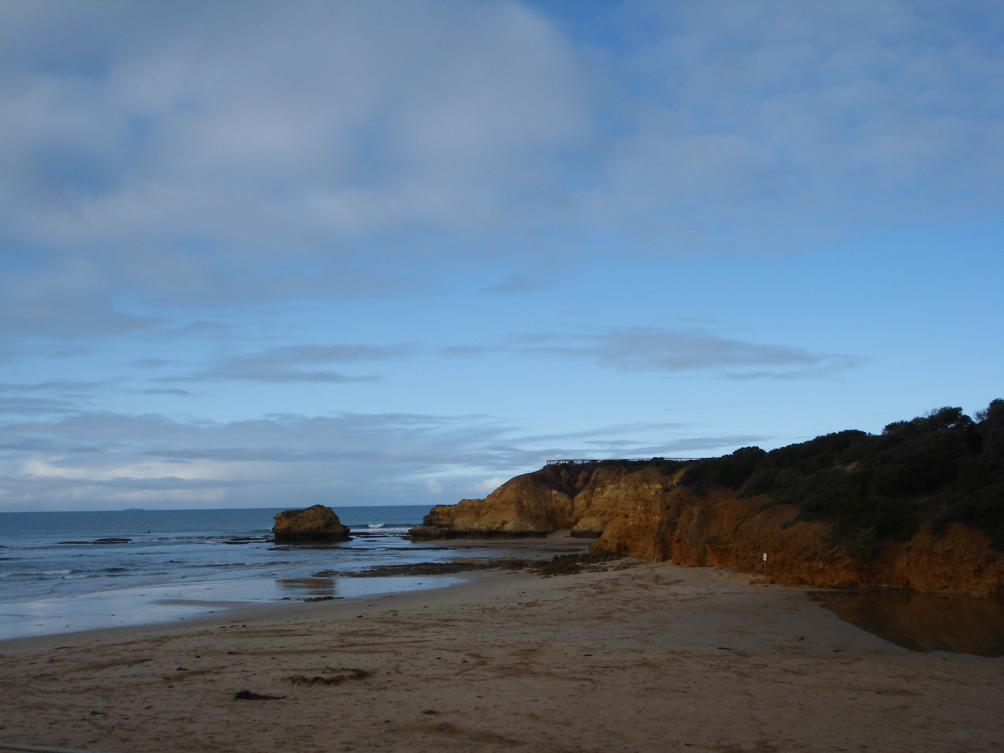
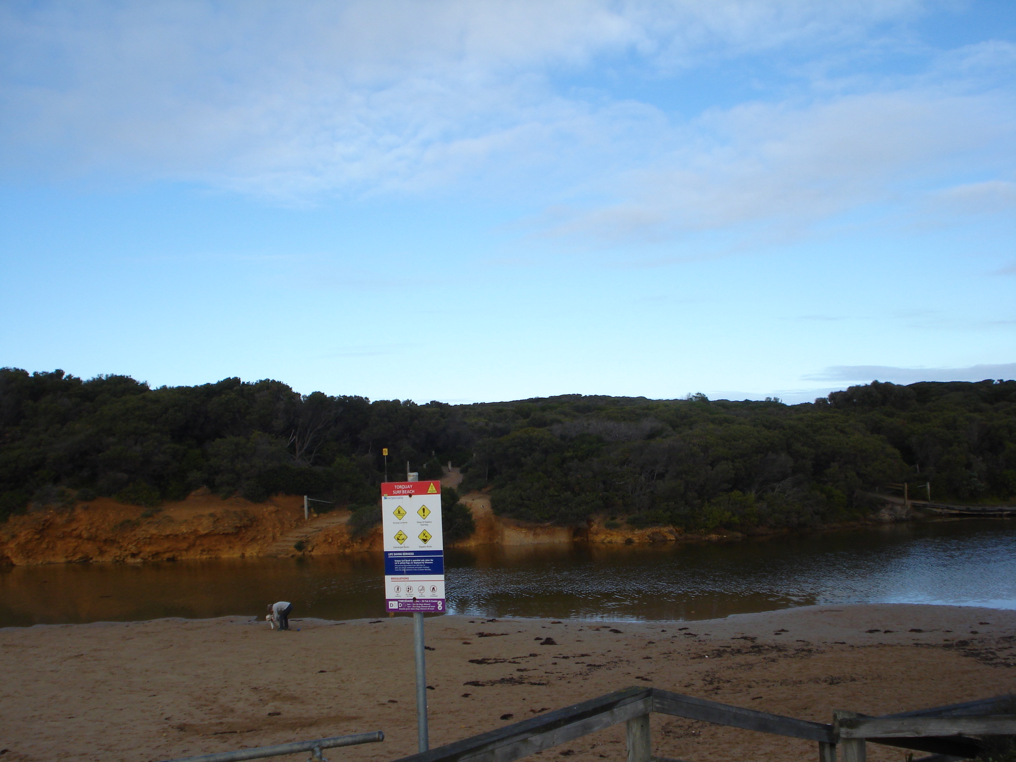
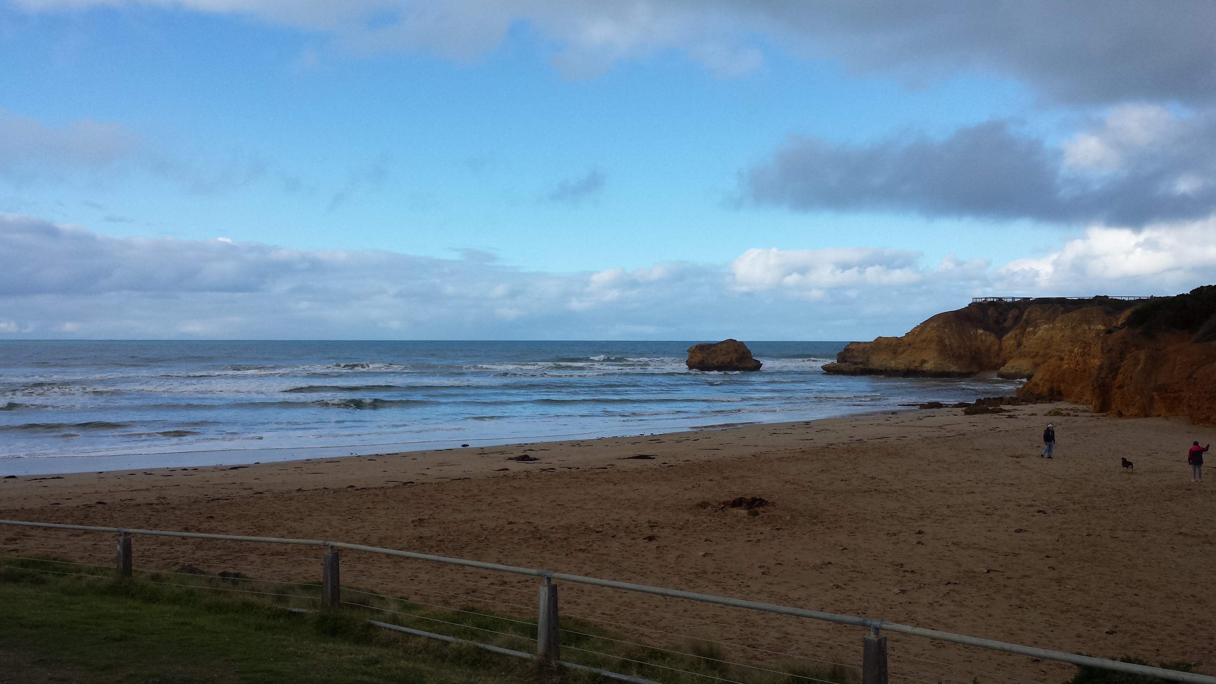
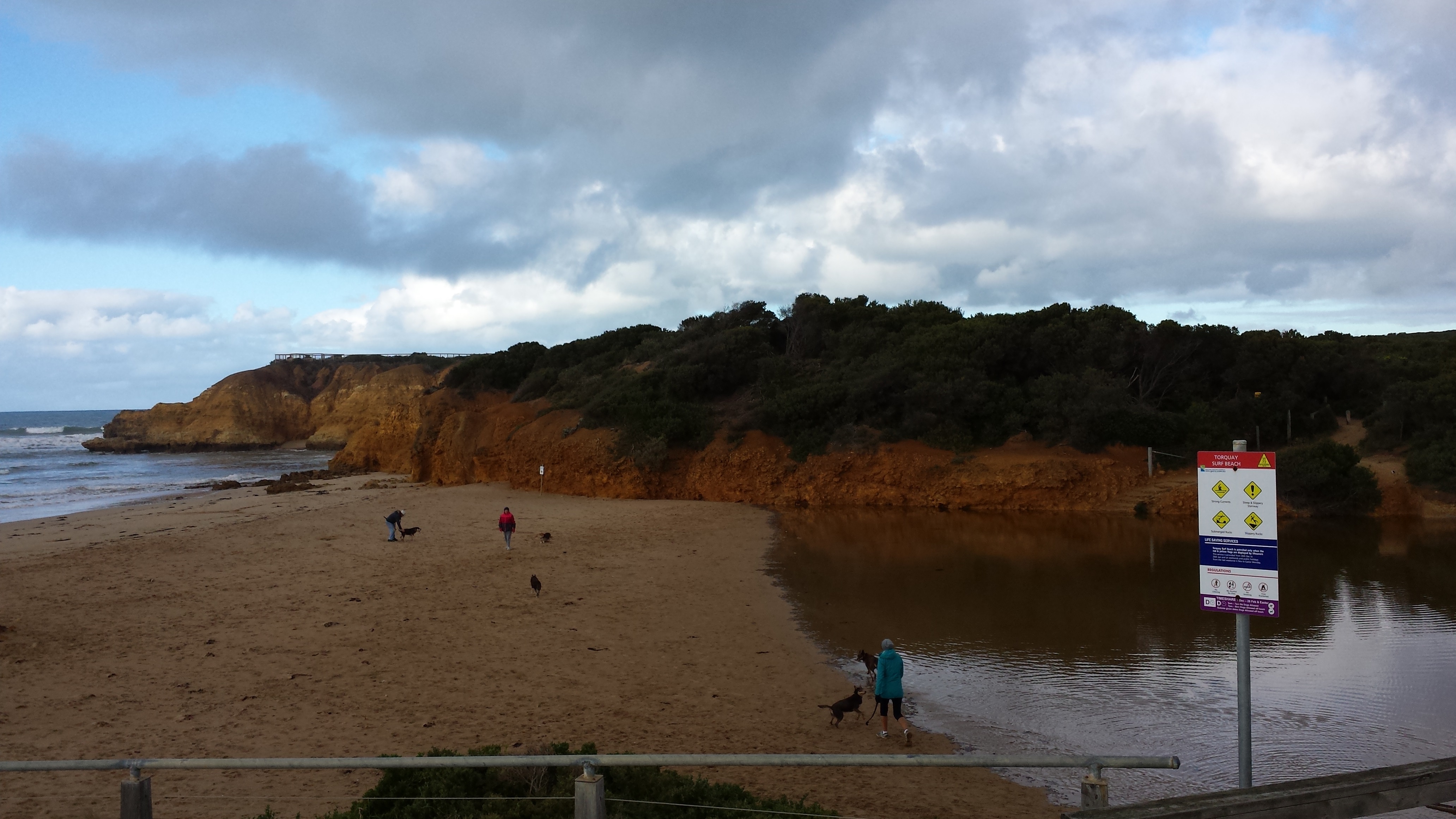
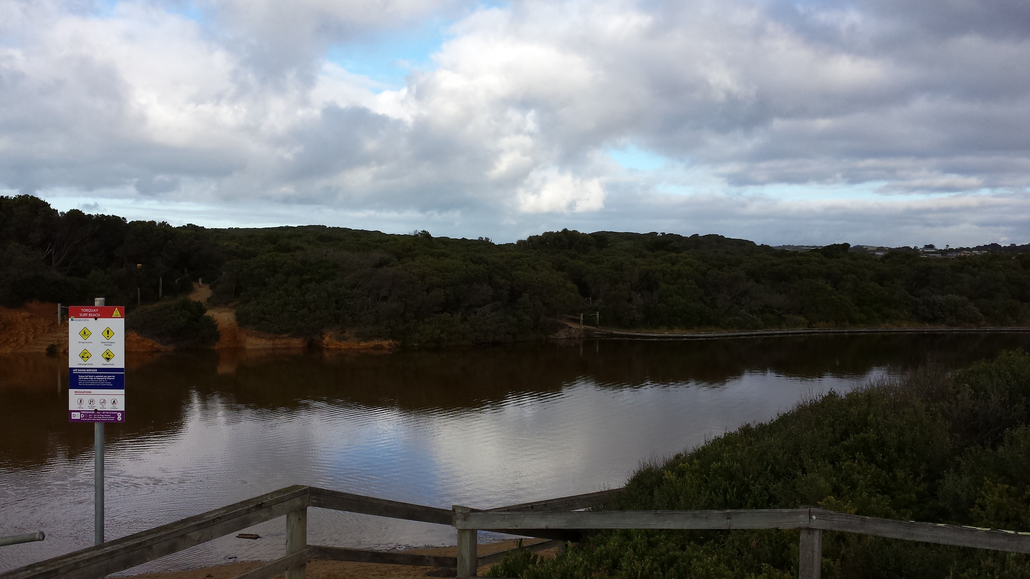
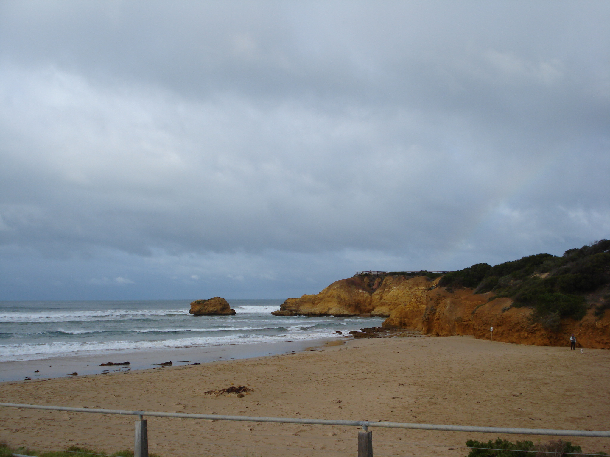
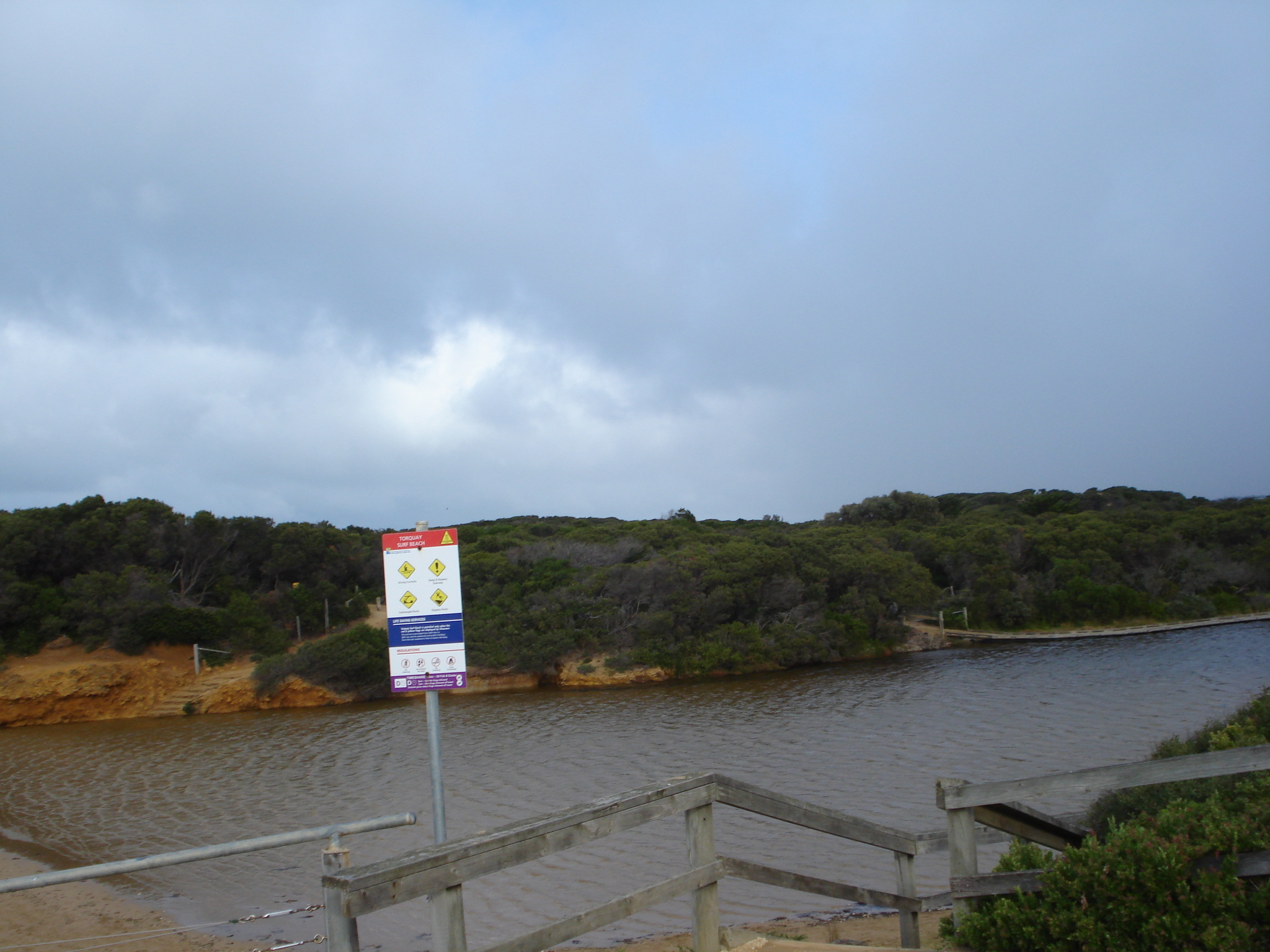
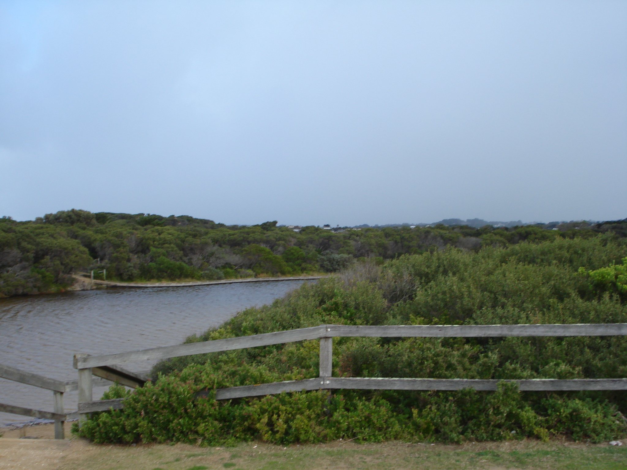
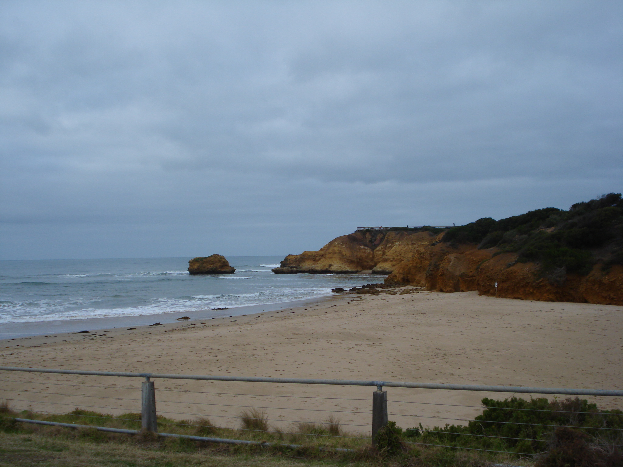
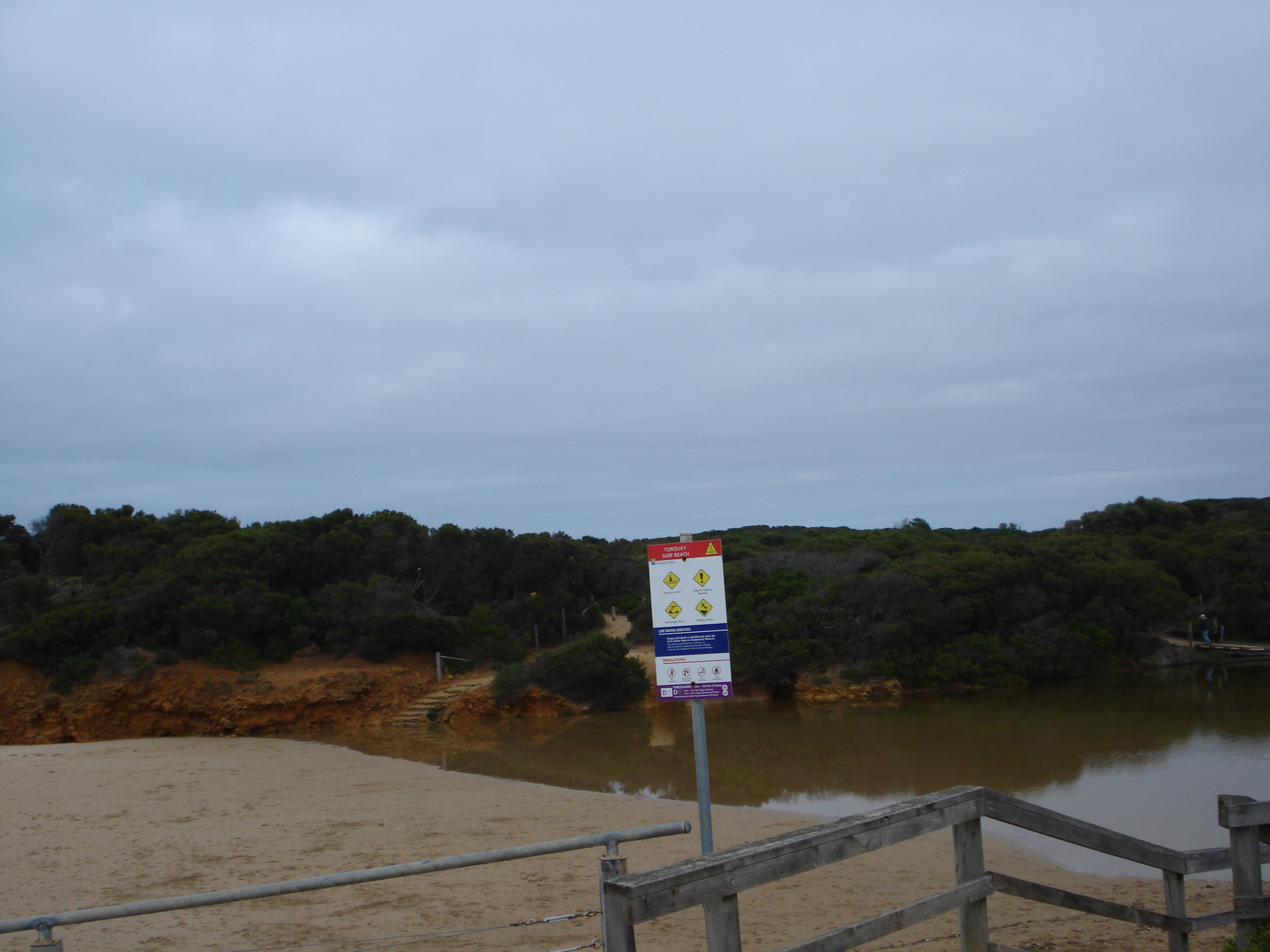
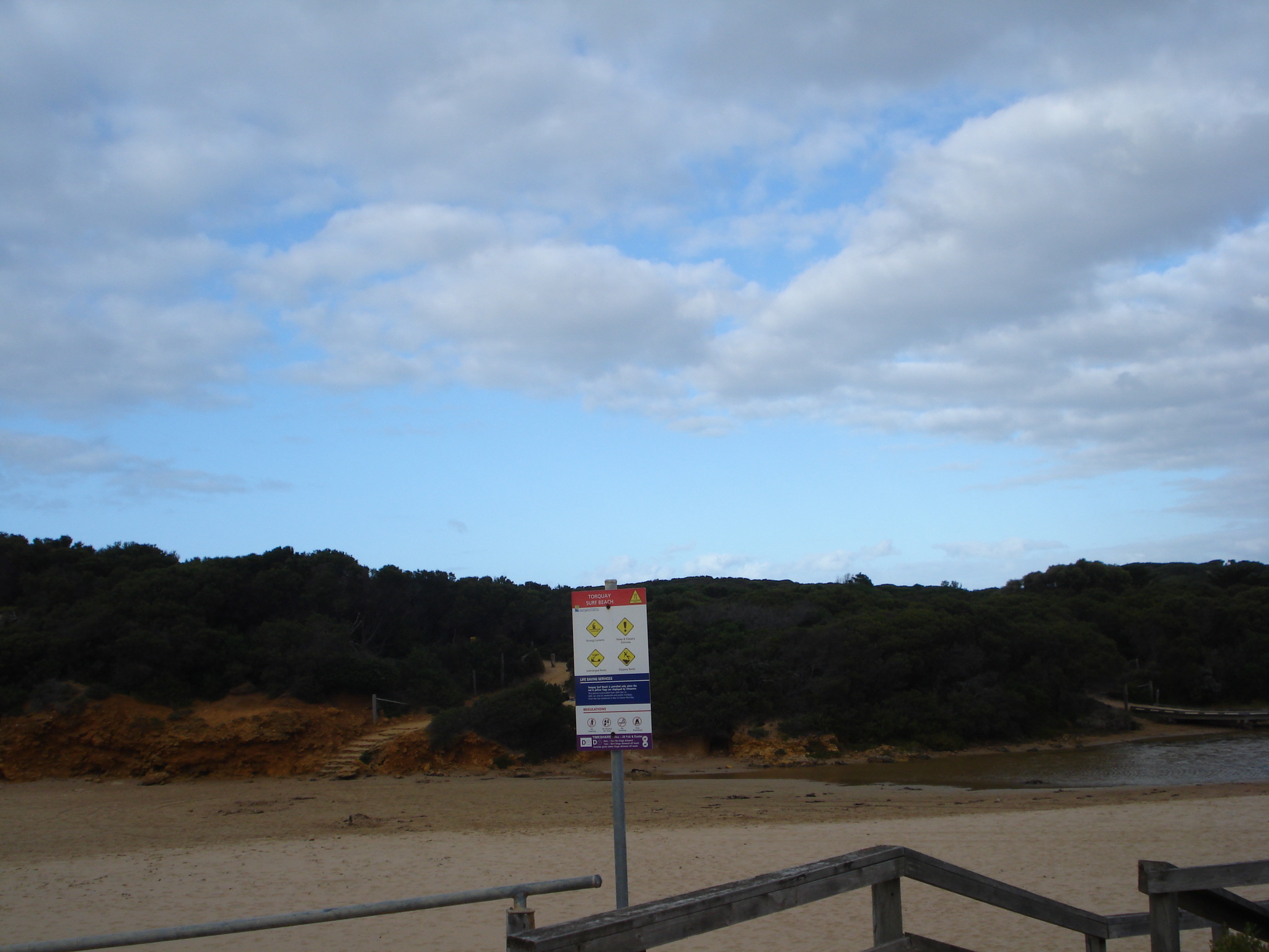
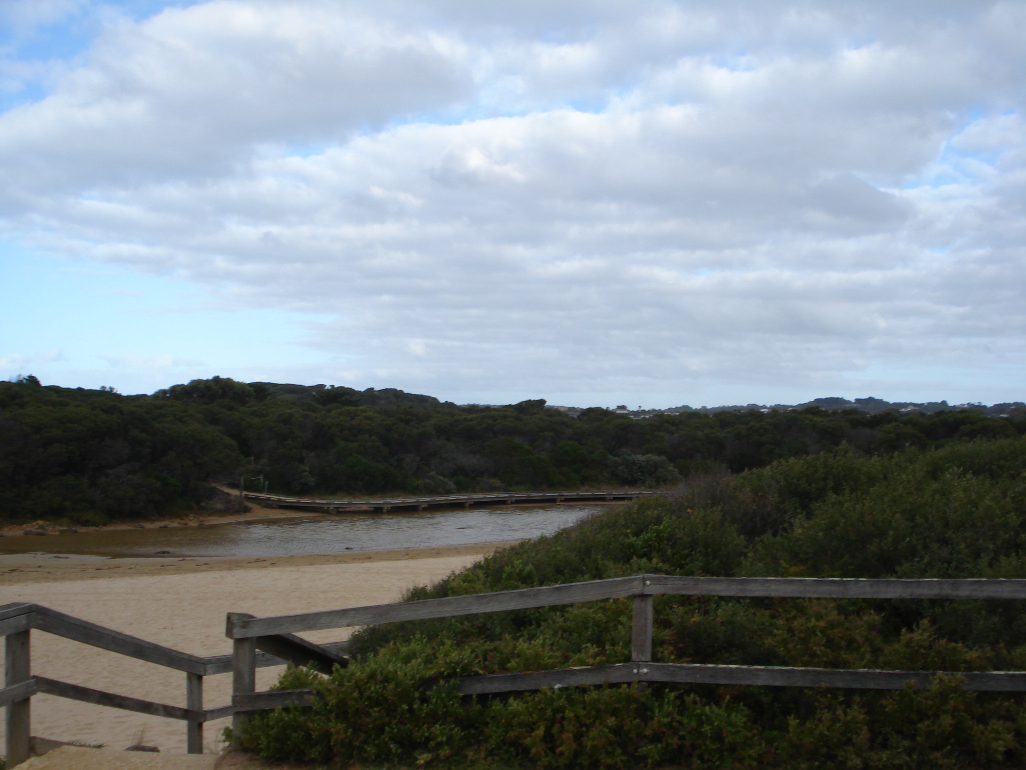
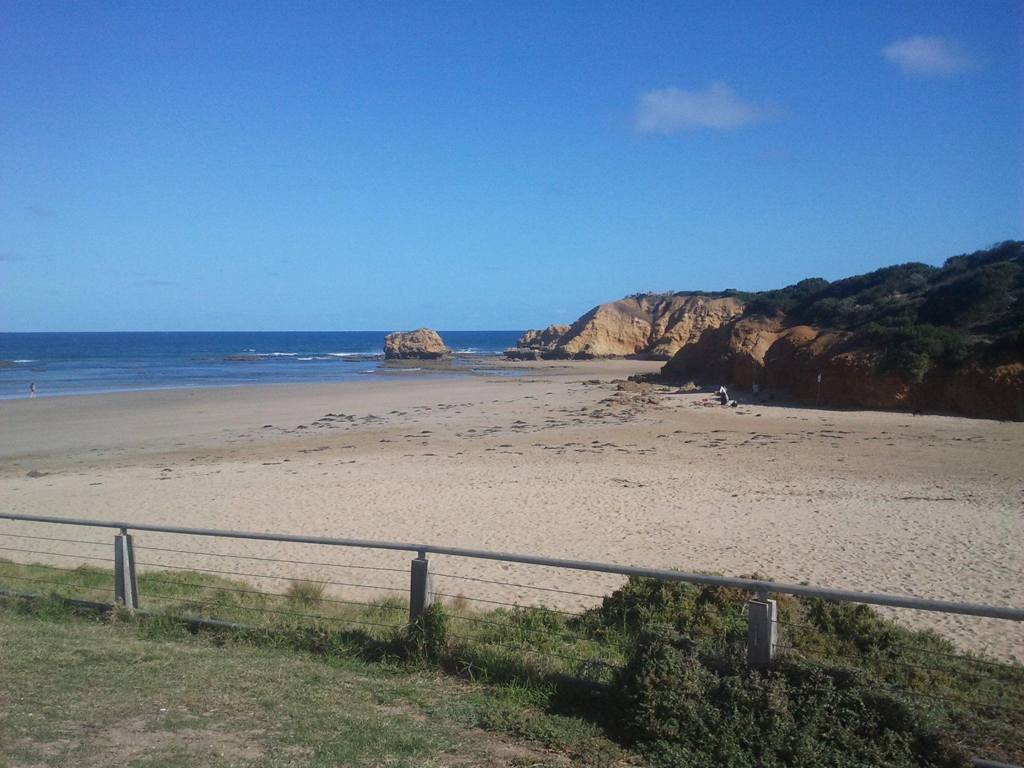
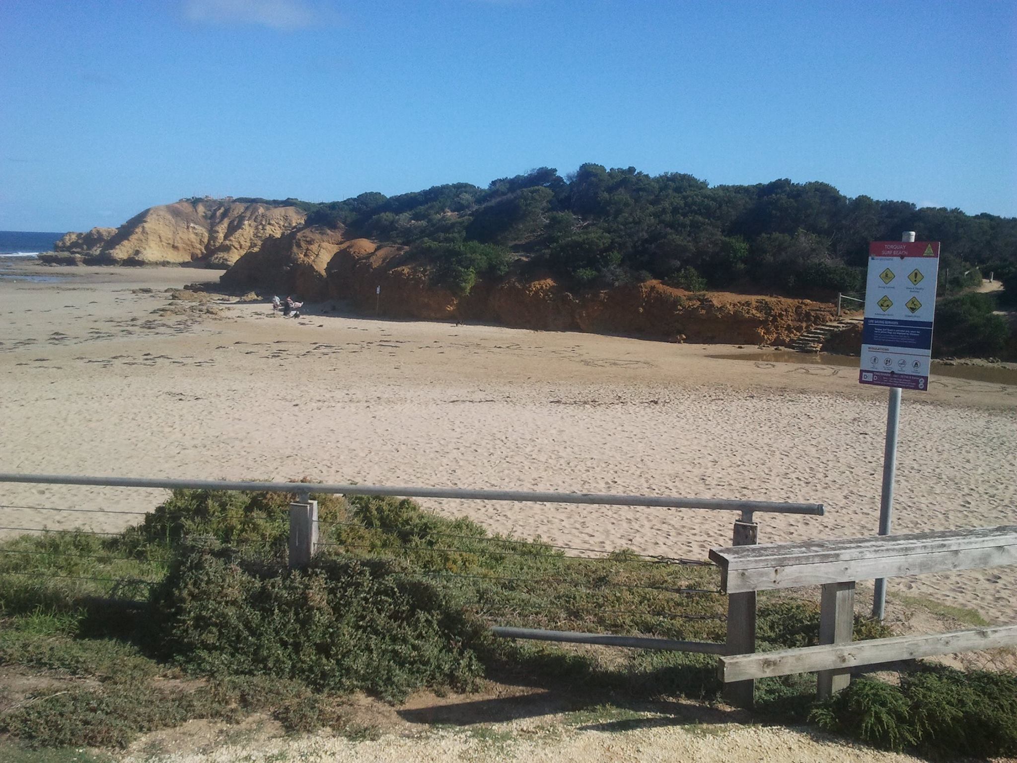
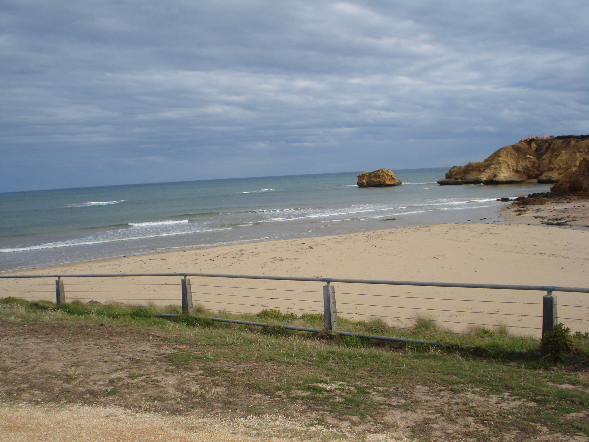
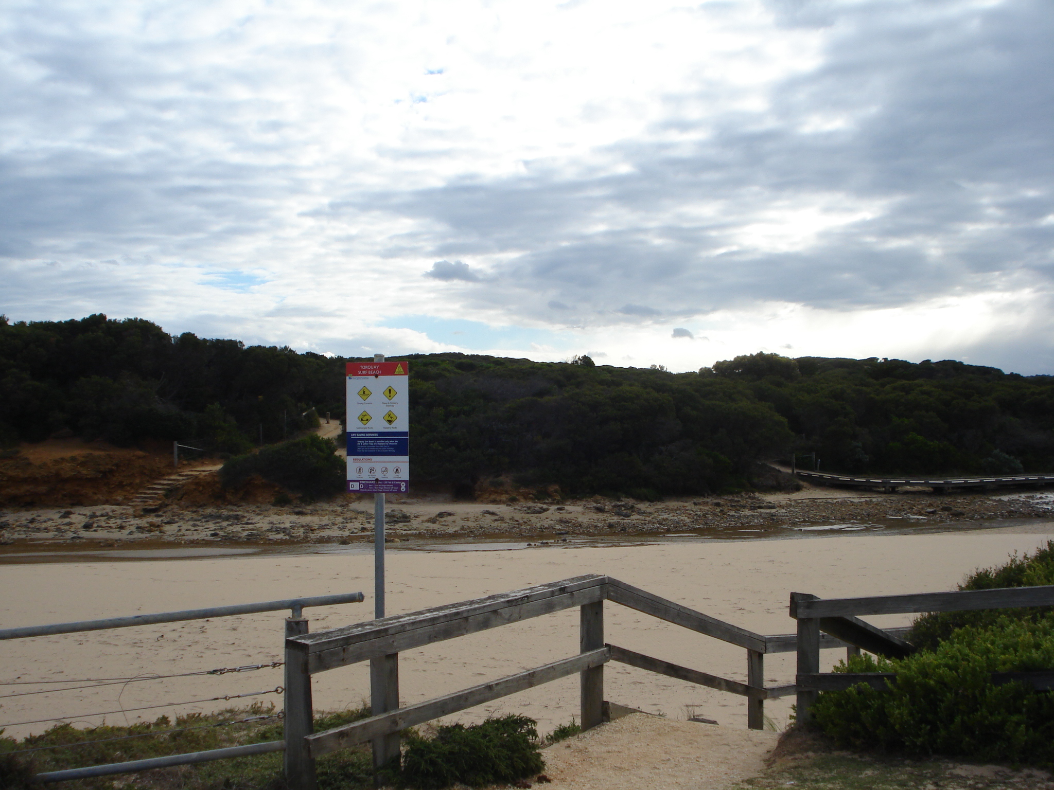
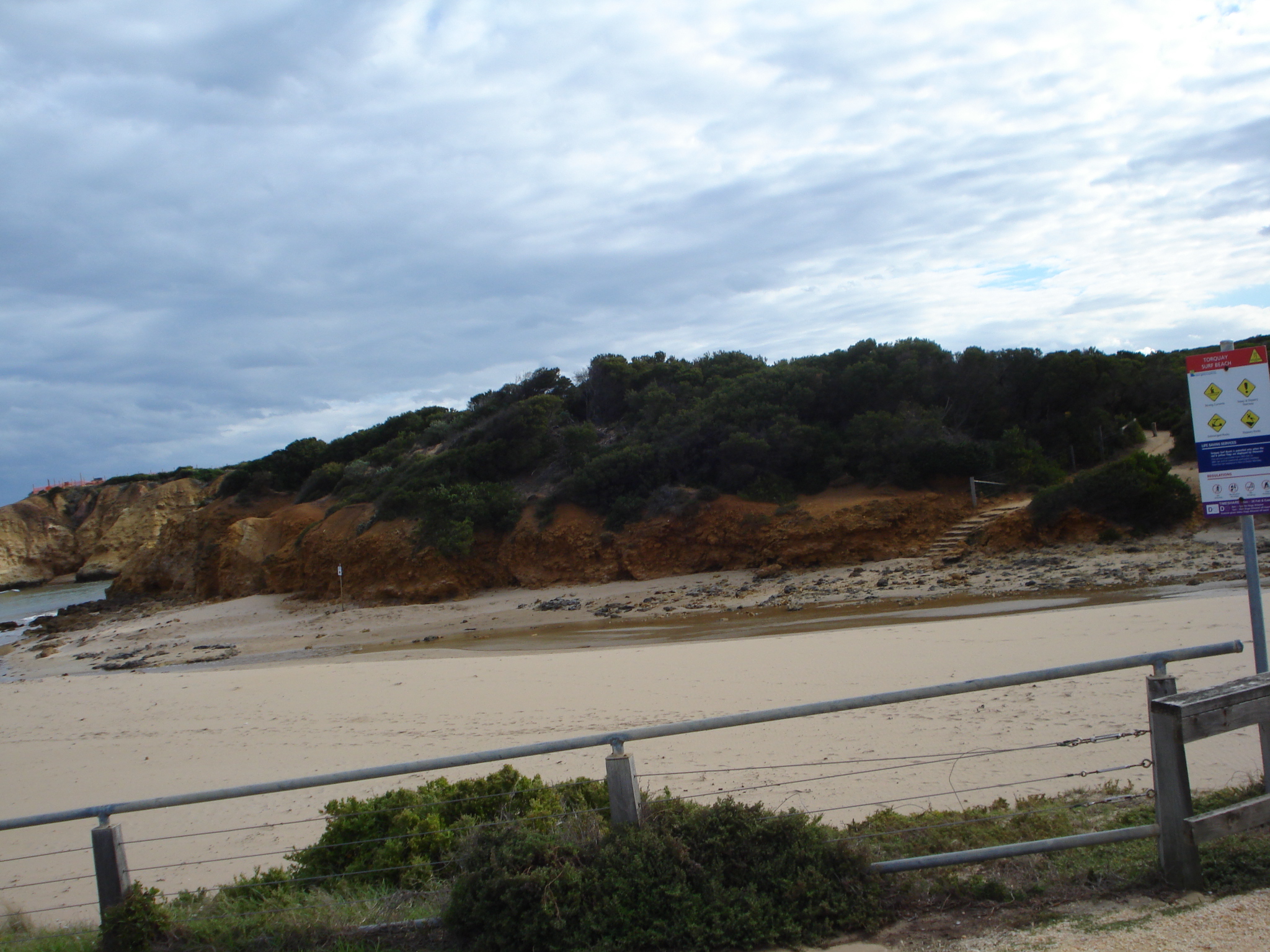
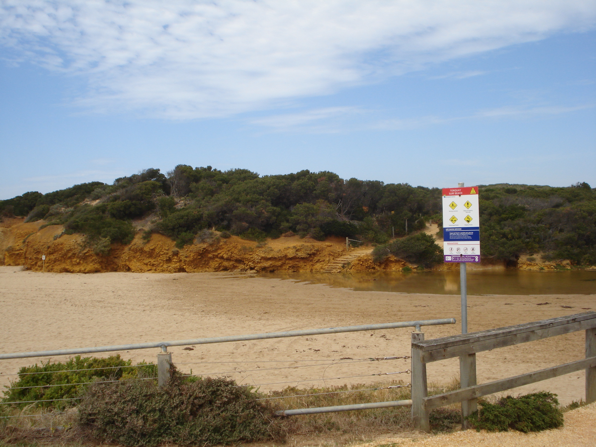
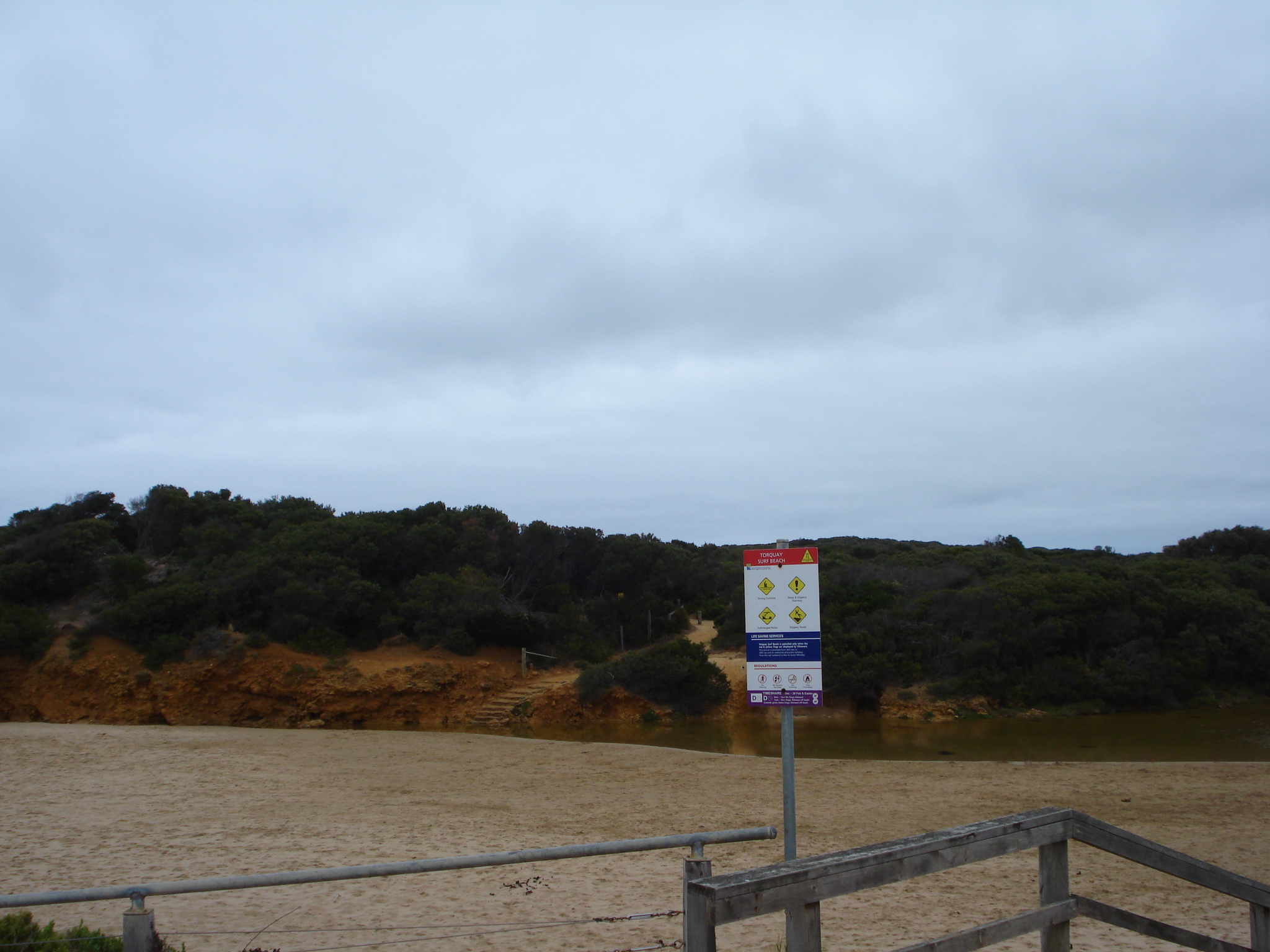
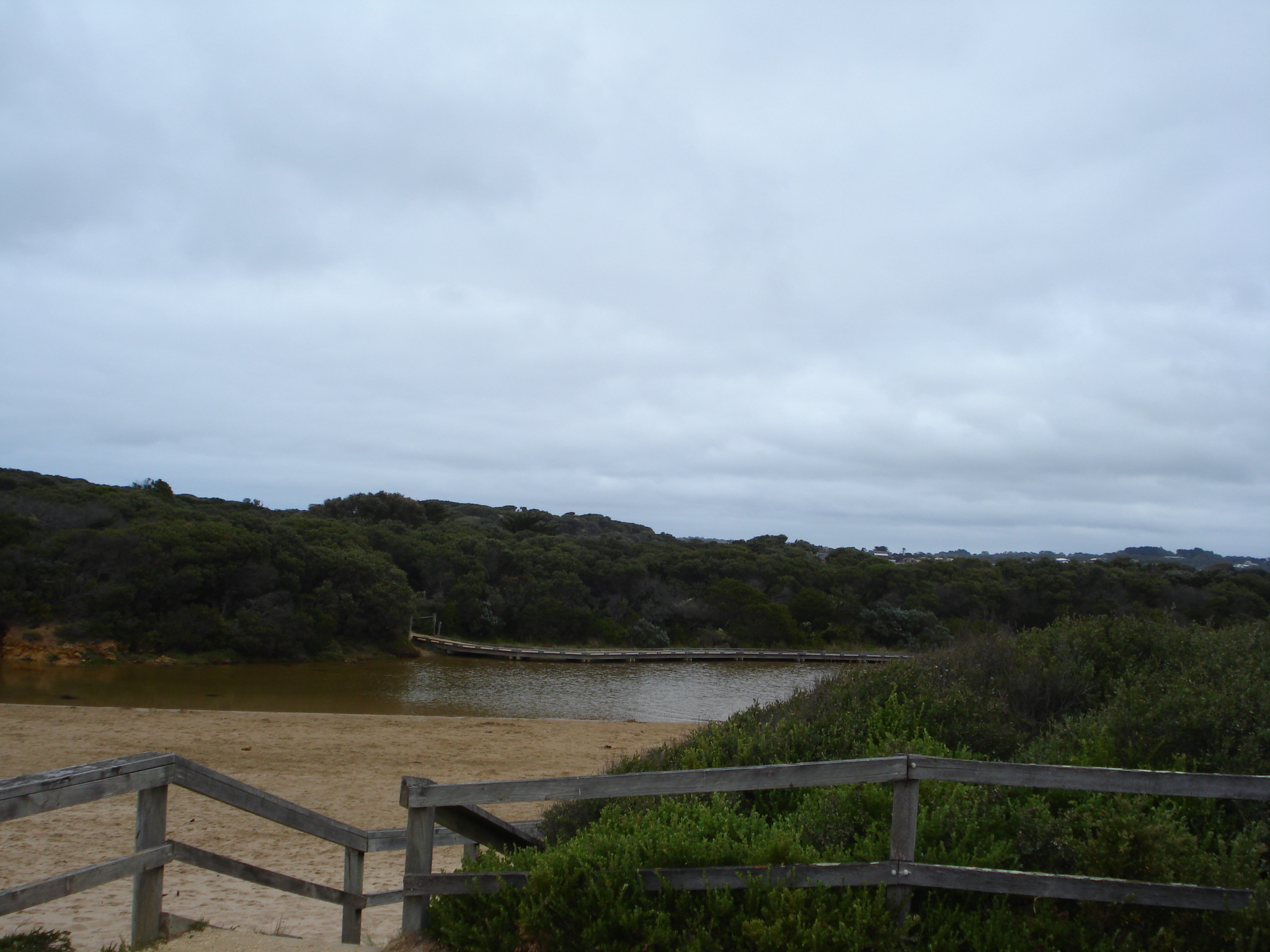
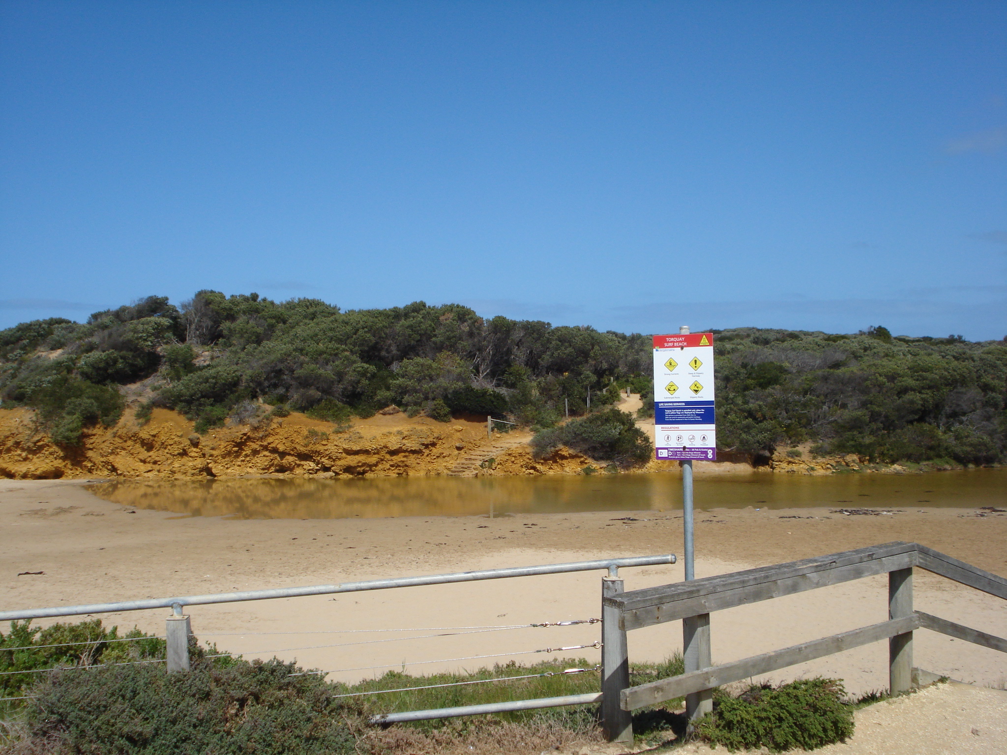
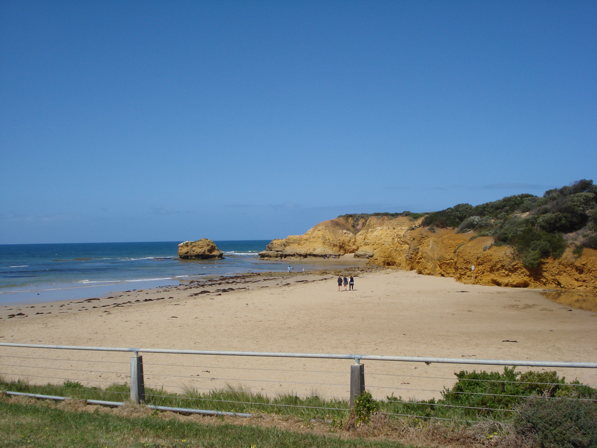
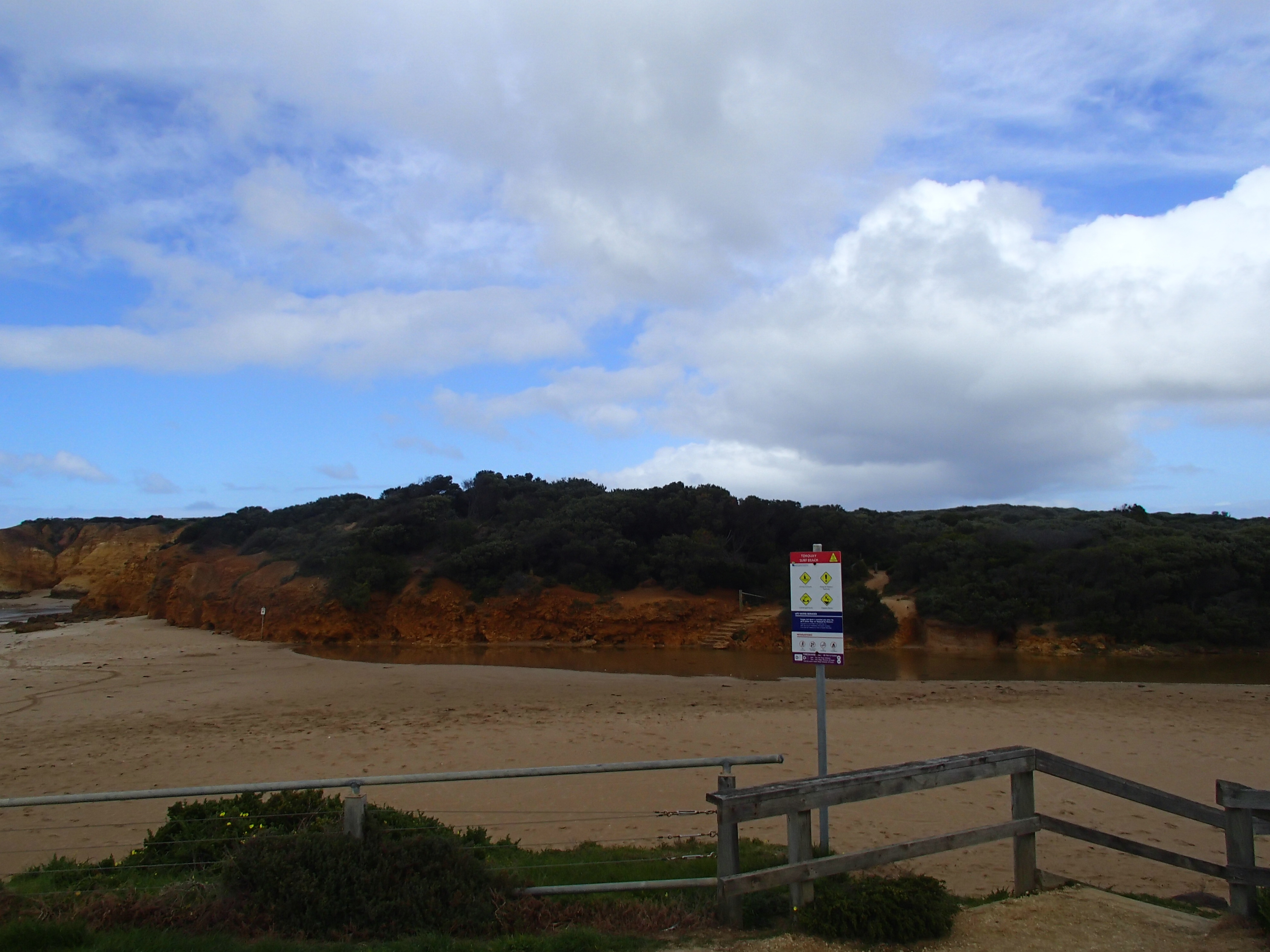
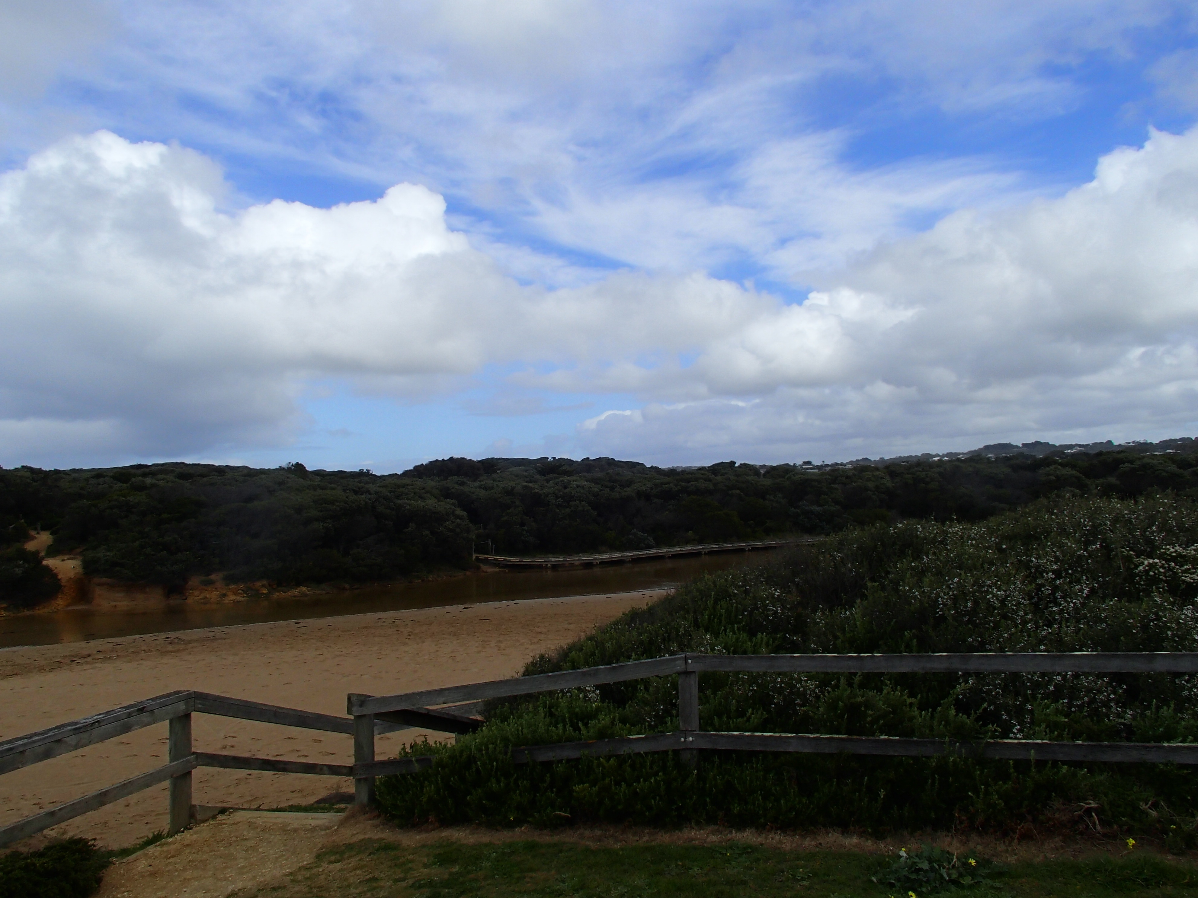
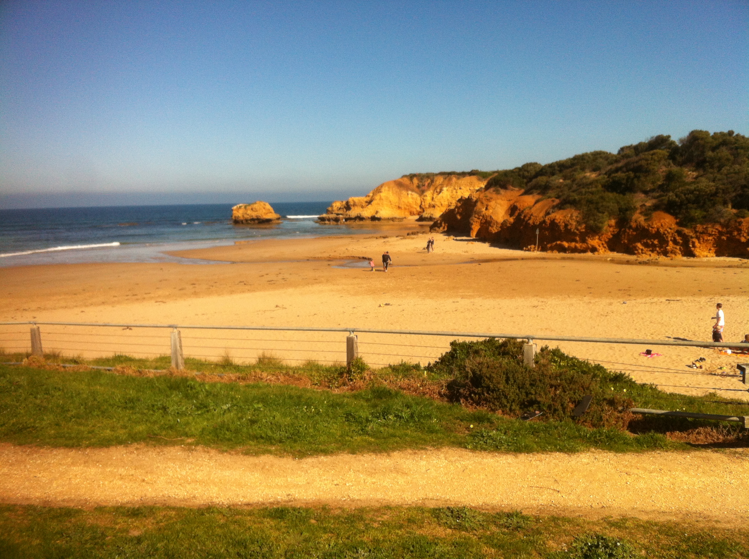
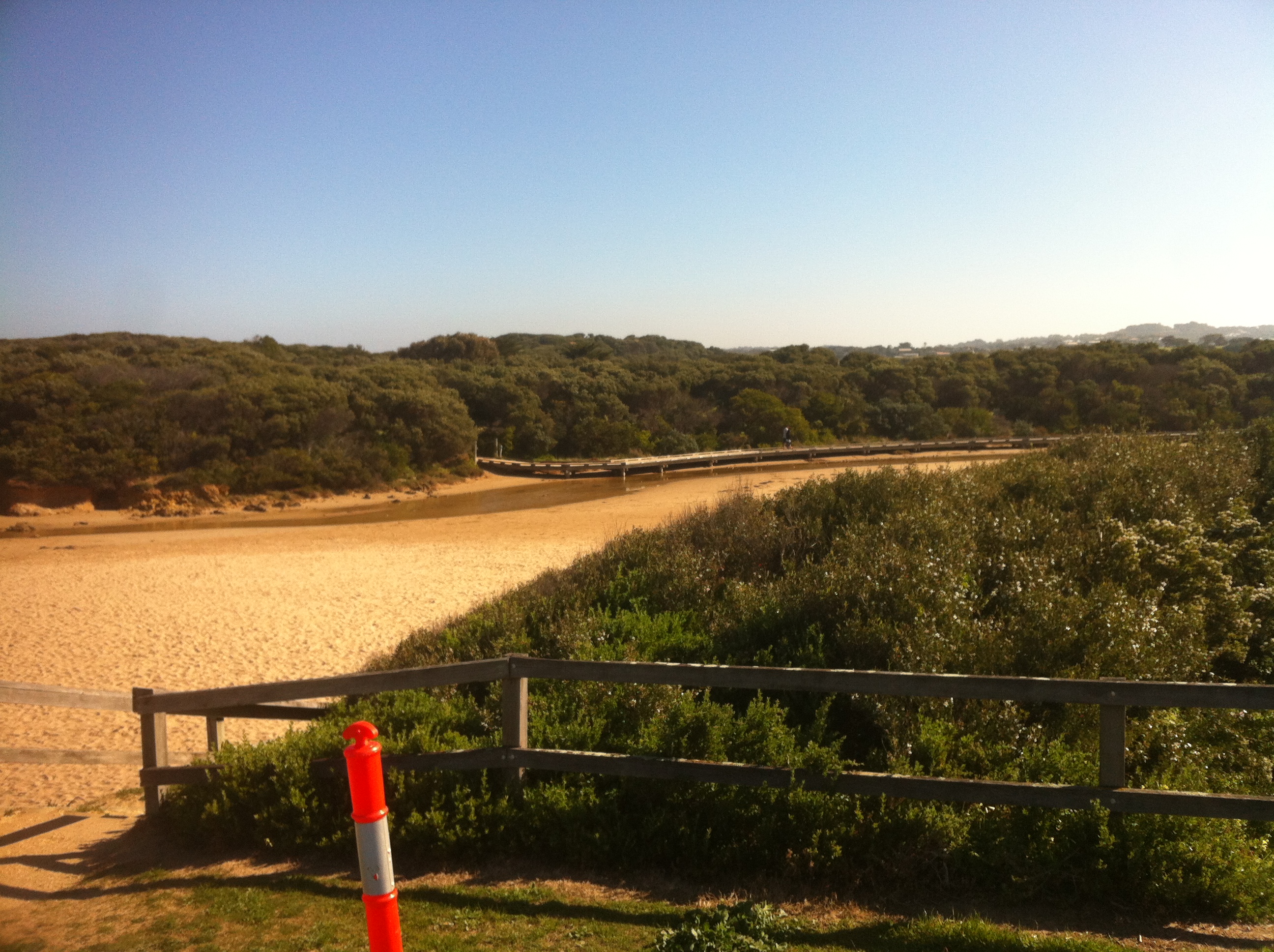
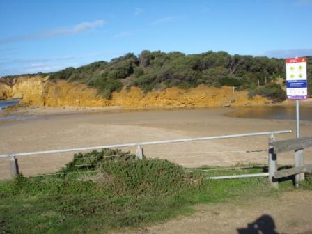
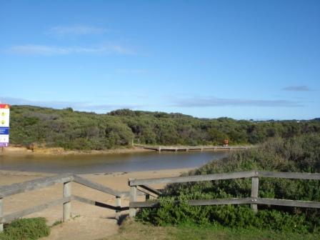
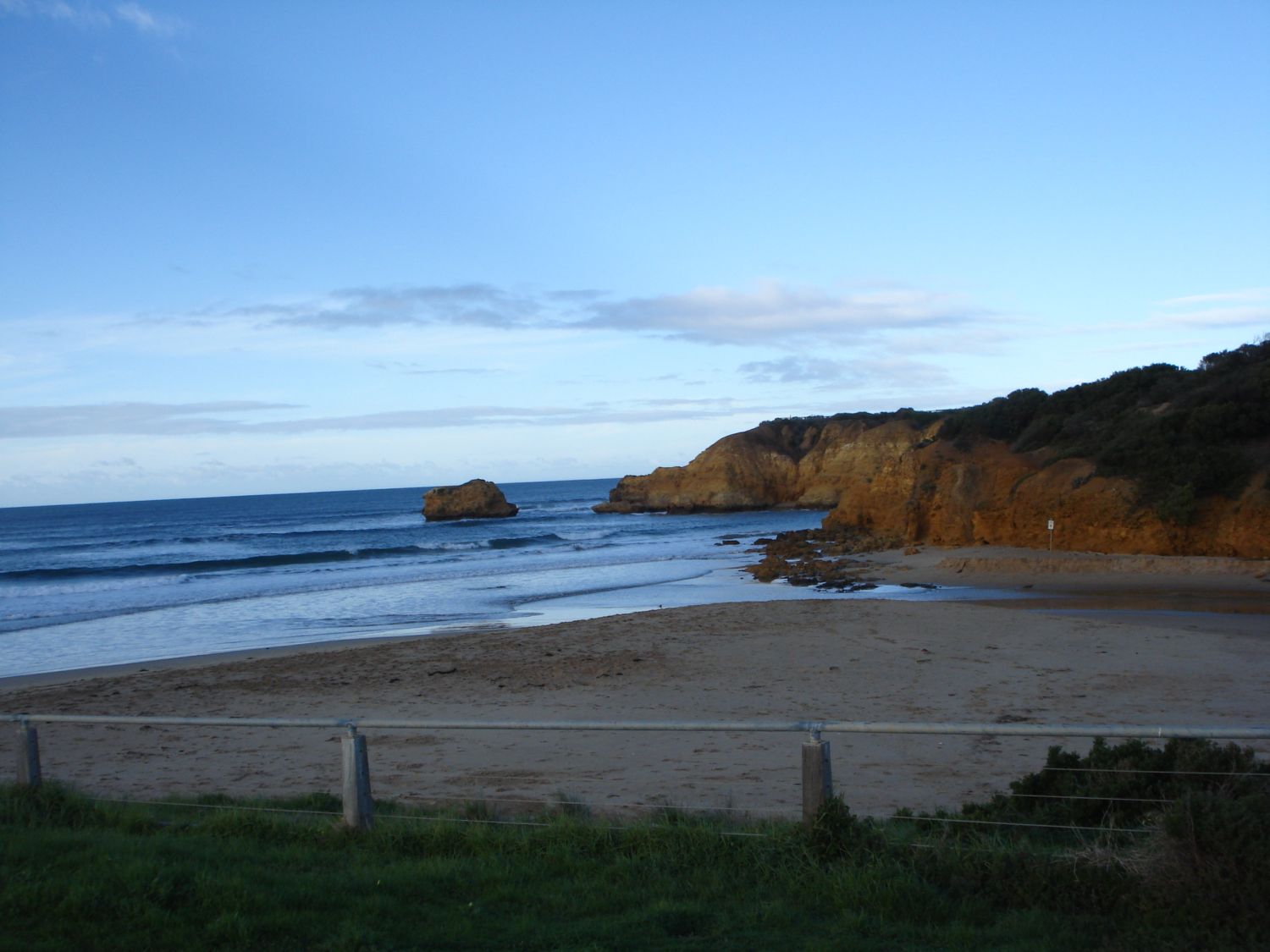
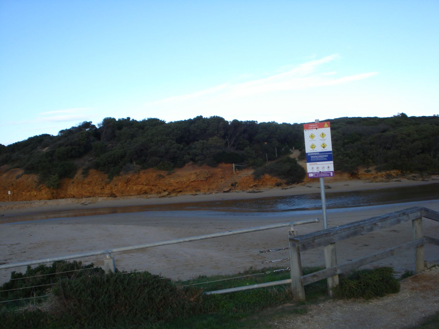
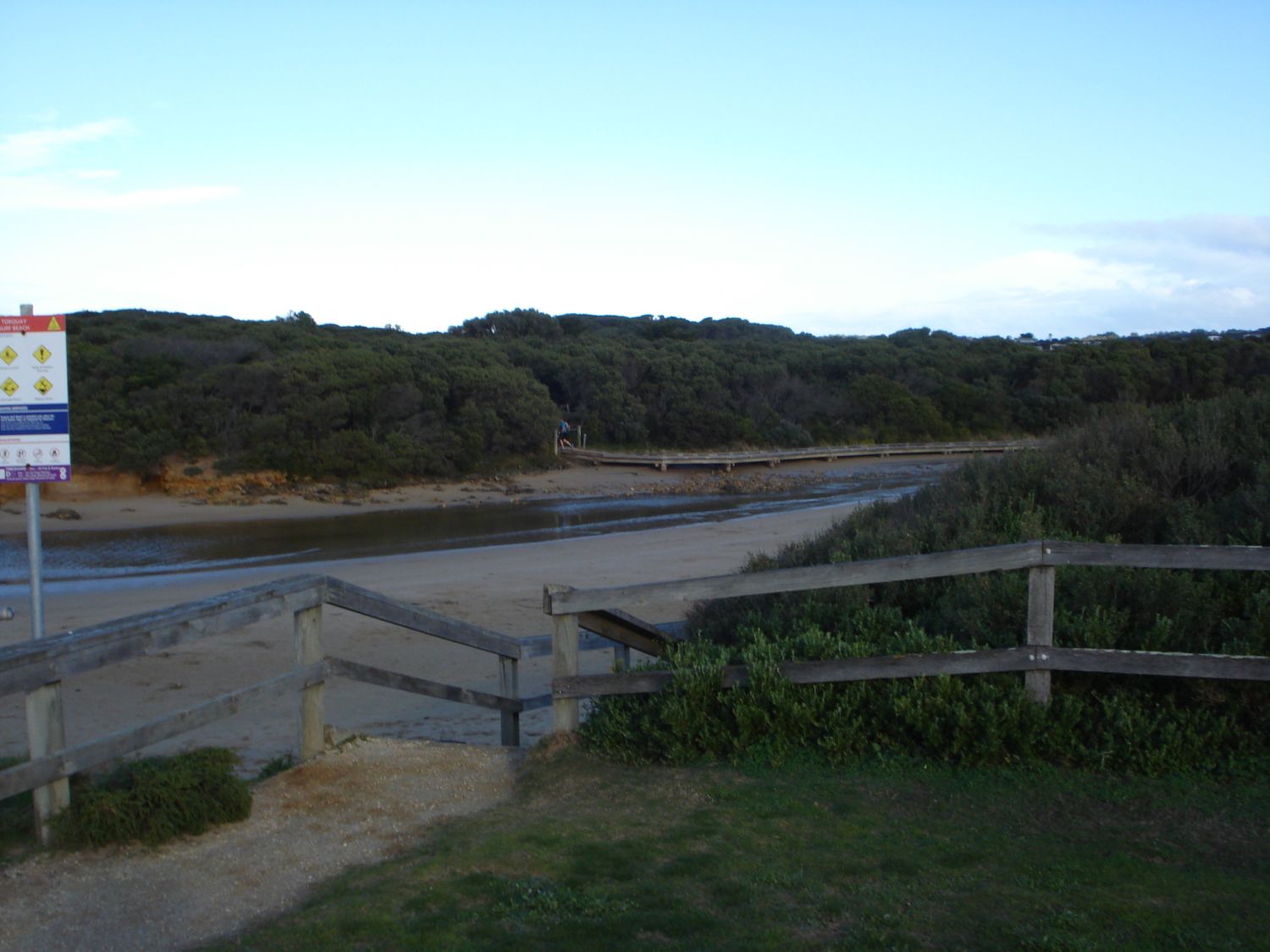
Active Mouth Condition 24-06-2007 - 02-10-2023Spring Creek Estuary
| ID | Date | Status | Details | |
|---|---|---|---|---|
| #15824 | 2 Oct 2023 | Approved |
     |
|
| #15826 | 12 Sep 2023 | Pending |
Notes:
Seaweed present. |
|
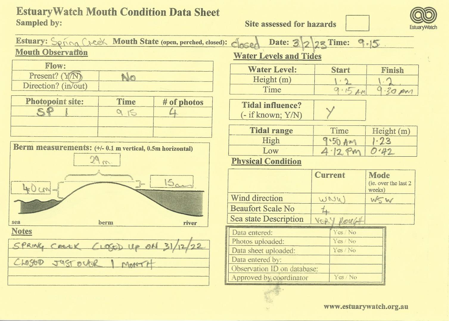
| #15264 | 3 Feb 2023 | Pending |
Notes:
Spring Creek closed up on the 31st dec 2022, just over a month ago. big swell will breach the berm on high tides |
|
| #14781 | 8 Apr 2022 | Approved |
    |
|
| #13867 | 14 Oct 2020 | Approved |
 |
|
| #13872 | 9 Sep 2020 | Approved |
Notes:
Training exercise 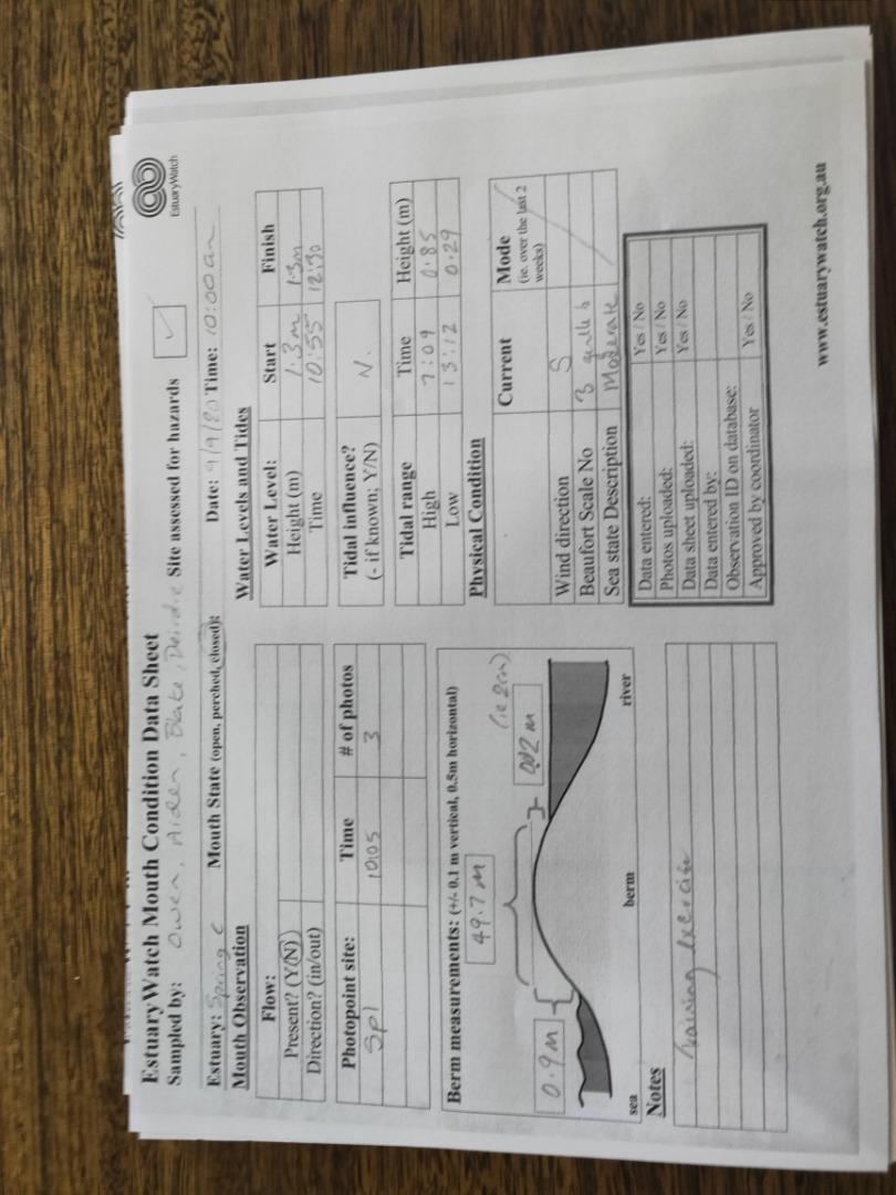 |
|
| #13689 | 19 Feb 2020 | Approved |
    |
|
| #13088 | 18 May 2019 | Approved | ||
| #12869 | 25 Apr 2019 | Approved |
   |
|
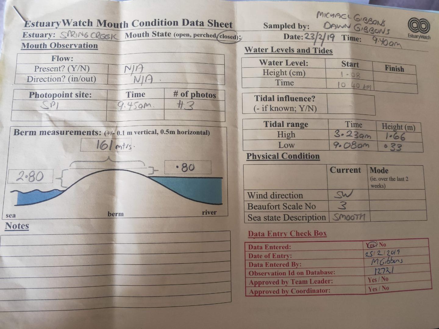
| #12793 | 23 Mar 2019 | Approved |
Notes:
HEIGHT AT SEA LEVEL GREATER THAN LENGTH OF BERM HEIGHT POLE. SO, 2.5M PLUS
HEIGHT GAUGE MUDDY - SO AN ESTIMATE |
|
| #12721 | 23 Feb 2019 | Approved | ||
| #12644 | 11 Jan 2019 | Approved | ||
| #12595 | 15 Dec 2018 | Approved |
Notes:
2 PEOPLE WITH SHOVELS HAD JUST DUG OUT A CHANNEL JUST PRIOR TO US ARRIVING..NO WATER RELEASED. HEAVY RAIN FOR LAST 3 DAYS |
|
| #12521 | 28 Oct 2018 | Approved |
Notes:
Unfortunately couldn't upload any photos. Had problems getting photos from camera 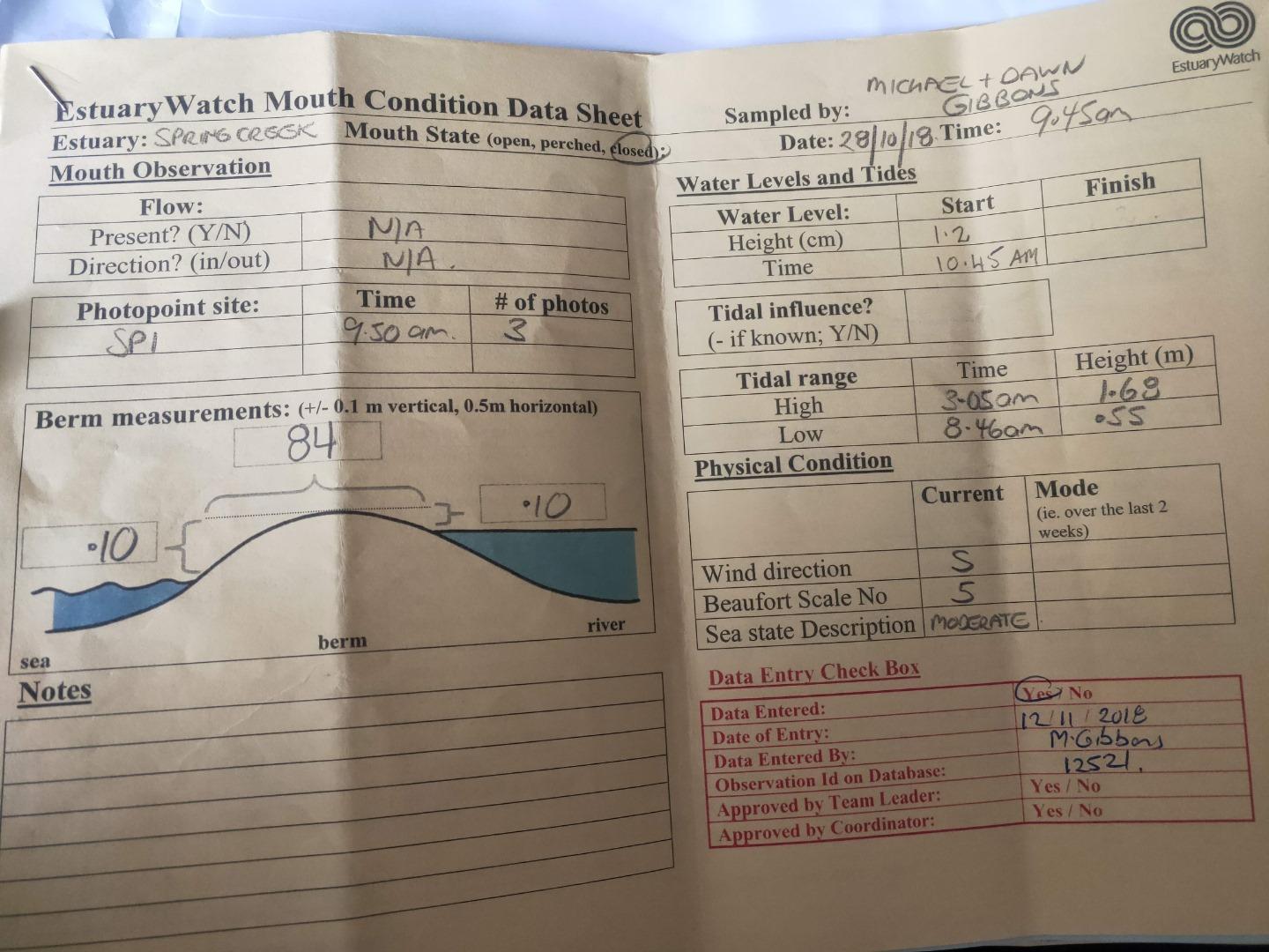 |
|
| #12400 | 16 Sep 2018 | Approved | ||
| #12349 | 18 Aug 2018 | Approved | ||
| #12270 | 14 Jul 2018 | Approved | ||
| #12145 | 9 Jun 2018 | Approved | ||
| #12200 | 6 Jun 2018 | Approved |
Notes:
Training session for D. Murphy 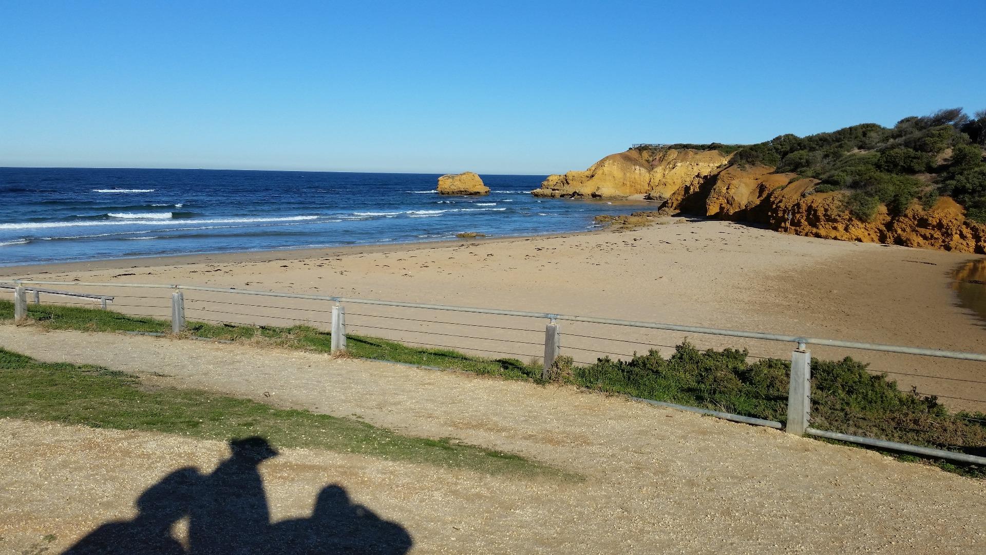 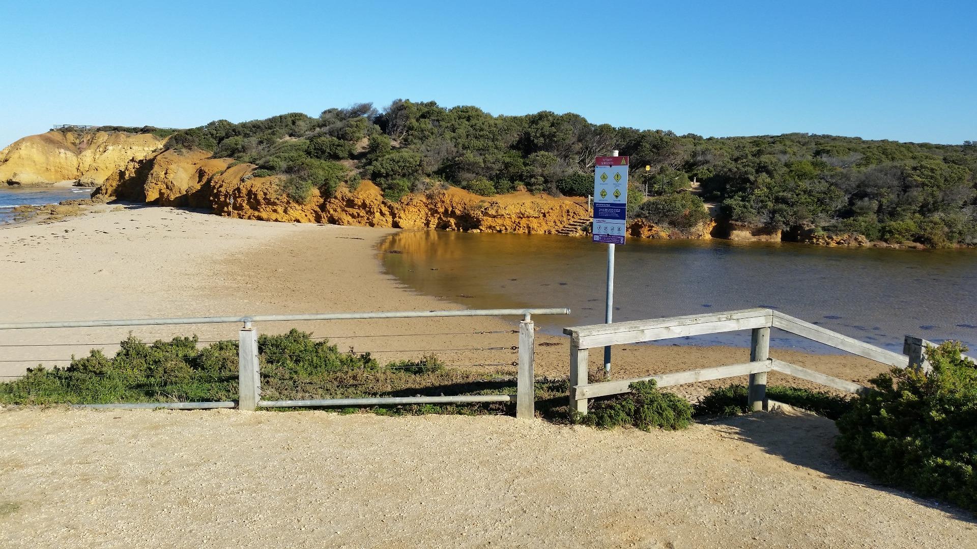 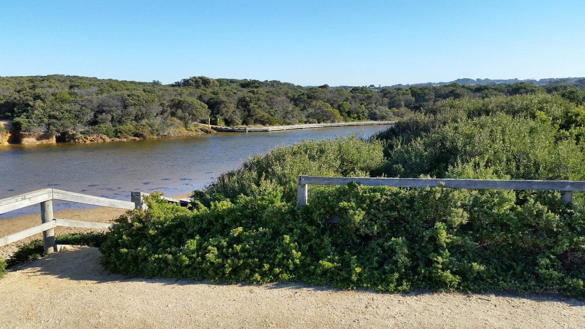 |
|
| #12055 | 6 May 2018 | Approved | ||
| #11955 | 7 Apr 2018 | Approved | ||
| #11868 | 10 Mar 2018 | Approved | ||
| #11812 | 10 Feb 2018 | Approved | ||
| #11724 | 12 Jan 2018 | Approved | ||
| #11643 | 9 Dec 2017 | Approved | ||
| #11564 | 28 Oct 2017 | Approved | ||
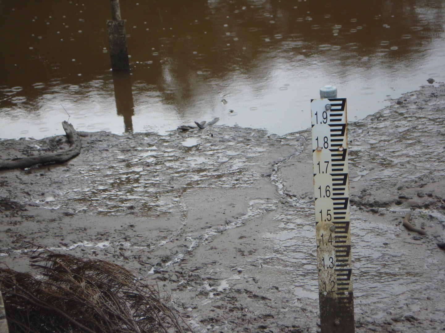
| #11467 | 23 Sep 2017 | Approved |
Notes:
The height gauge closest to the bank was high and dry out of the water. The other gauge in the water, was too muddy to read. |
|
| #11424 | 27 Aug 2017 | Approved |
Notes:
Unfortunately photo's were accidently deleted |
|
| #11378 | 29 Jul 2017 | Approved | ||
| #11314 | 1 Jul 2017 | Approved | ||
| #11309 | 26 Jun 2017 | Approved |
Notes:
|
|
| #11238 | 27 May 2017 | Approved | ||
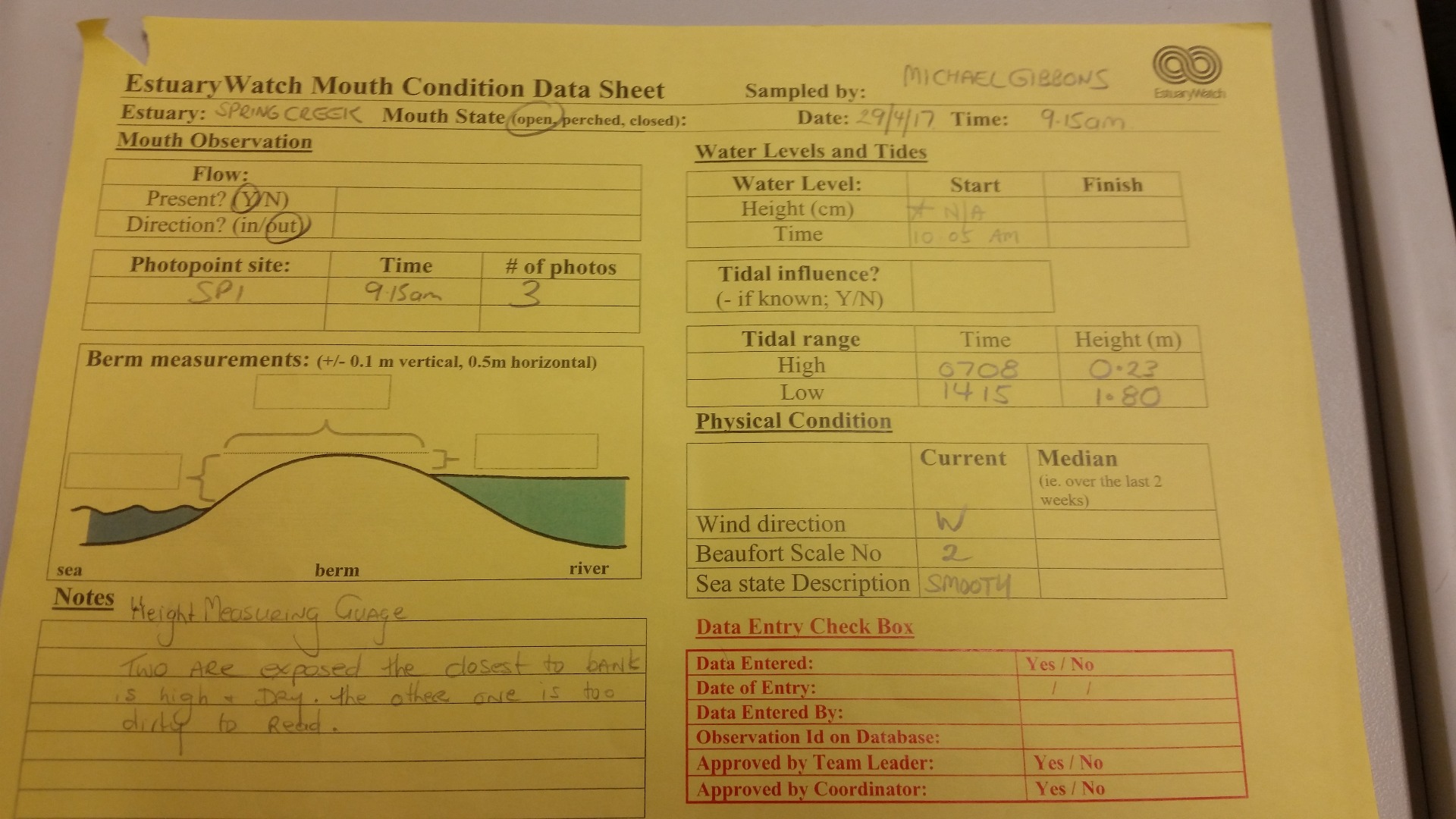
| #11139 | 29 Apr 2017 | Approved |
Notes:
Height/Depth Measuring gauge- Now two gauges exposed. One closest to bank is high and dry. The other one closer to middle of the creek is too muddy to read.
|
|
| #11168 | 24 Apr 2017 | Approved |
|
|
| #11015 | 27 Mar 2017 | Approved |
Notes:
|
|
| #11037 | 25 Mar 2017 | Approved |
Notes:
Mouth opened sometime during the week. Lots of rain early week. |
|
| #10982 | 22 Mar 2017 | Approved |
Notes:
Over last 24hours 30 a 40mms of rain and has been small wash outs and damage along the coast. Aireys Inlet got 100mm of rain last night. and ran into John from gorcc |
|
| #11012 | 20 Feb 2017 | Approved |
Notes:
Evidence of the tide affecting the berm, and maybe entering the estuary. Monitoring conducted by Conservation and Land Management students at The Gordon. |
|
| #10841 | 18 Feb 2017 | Approved | ||
| #10760 | 21 Jan 2017 | Approved | ||
| #10696 | 30 Dec 2016 | Approved | ||
| #11510 | 13 Dec 2016 | Approved |
|
|
| #10563 | 19 Nov 2016 | Approved | ||
| #10953 | 8 Oct 2016 | Approved |
Notes:
Water level is an estimate due to mud on gauge board |
|
| #10954 | 10 Sep 2016 | Approved |
Notes:
Mouth looks like only recently opened |
|
| #10955 | 13 Aug 2016 | Approved | ||
| #10961 | 2 Aug 2016 | Approved | ||
| #10537 | 17 Jul 2016 | Approved |
Notes:
gauge board needs cleaning |
|
| #10956 | 26 Jun 2016 | Approved |
Notes:
Water level estimate only due to mud on gauge board
|
|
| #10957 | 28 May 2016 | Approved |
Notes:
Mouth opened sometime between evening of the 26/05/2016 and morning of 27/05/2016 Water level estimate only due to mud on gauge board
|
|
| #10311 | 20 May 2016 | Approved | Notes: Berm height was very low. Distance across berm was 40m. Signs of flooding. Sighted the Silver Gull, and Pacific Black Ducks. There looked to be an attempt to block the estuary. Small rocks were gathered into a small pile at the lowest point in the estuary mouth. | |
| #10958 | 1 May 2016 | Approved | ||
| #10960 | 25 Apr 2016 | Approved |
Notes:
OH&S risk! |
|
| #10416 | 2 Apr 2016 | Approved | Notes: Berm 90 steps across. | |
| #10252 | 22 Mar 2016 | Approved | ||
| #10411 | 6 Mar 2016 | Approved |
Notes:
Berm 140 steps wide.
|
|
| #10959 | 1 Mar 2016 | Approved |
   |
|
| #10410 | 6 Feb 2016 | Approved | Notes: Berm 68 steps wide. | |
| #10087 | 7 Jan 2016 | Approved | Notes: 60 metres wide berm. | |
| #10061 | 21 Nov 2015 | Approved | Notes: cold, windy and overcast | |
| #10069 | 24 Oct 2015 | Approved |
Notes:
80 metres across berm. lots of surfers. Kids playing in creek water. |
|
| #10070 | 26 Sep 2015 | Approved | Notes: AHD gauge is in the mud with no water around it. Mud is at 1.02m level. | |
| #10093 | 6 Sep 2015 | Approved |
Notes:
Berm 102 metres wide
|
|
| #10066 | 4 Sep 2015 | Approved |
|
|
| #9819 | 31 Aug 2015 | Approved | ||
| #9812 | 8 Aug 2015 | Approved | ||
| #9810 | 15 Jul 2015 | Approved |
Notes:
Clear crisp morning. Kids surfing comp on. Also kids cross country. First clear day for a week. No rain. |
|
| #9817 | 5 Jul 2015 | Approved | ||
| #9720 | 11 Jun 2015 | Approved |
Notes:
Mouth previously been opened, still running/flowing slightly.
|
|
| #9656 | 10 Jun 2015 | Approved | ||
| #9651 | 5 Jun 2015 | Approved | Notes: Estuary artificially opened using the GORCC tractor at 8:21am. Tractor driver reported that there was a small amount of flow from the estuary when he arrived. | |
| #9639 | 2 Jun 2015 | Approved | ||
| #9813 | 30 May 2015 | Approved | ||
| #9807 | 16 May 2015 | Approved | ||
| #9536 | 26 Apr 2015 | Approved | Notes: Berm 91.5 metres wide | |
| #9805 | 19 Apr 2015 | Approved | ||
| #9540 | 21 Mar 2015 | Approved | ||
| #9546 | 3 Mar 2015 | Approved | ||
| #9539 | 28 Feb 2015 | Approved | ||
| #9404 | 17 Feb 2015 | Approved | Notes: Berm is approximately 120m long. | |
| #9419 | 13 Feb 2015 | Approved |
Notes:
Berm length 40 metres
|
|
| #9538 | 8 Feb 2015 | Approved | ||
| #9537 | 16 Jan 2015 | Approved | ||
| #9592 | 4 Jan 2015 | Approved |
Notes:
Good breeze
|
|
| #9324 | 30 Dec 2014 | Approved | Notes: 67 steps (metres) across the berm | |
| #9541 | 8 Dec 2014 | Approved |
|
|
| #9299 | 30 Nov 2014 | Approved | Notes: Approximately 70 metres across the berm. | |
| #9221 | 25 Oct 2014 | Approved | Notes: The berm was 80m long. | |
| #9227 | 9 Oct 2014 | Approved |
|
|
| #9220 | 5 Oct 2014 | Approved | ||
| #9152 | 20 Sep 2014 | Approved | ||
| #9112 | 18 Sep 2014 | Approved | Notes: The berm was 58m in length. | |
| #9118 | 6 Sep 2014 | Approved | ||
| #9117 | 6 Sep 2014 | Approved | Notes: Hard to read height stick, due to mud on lower levels. I will attempt to clean next week. | |
| #9080 | 21 Aug 2014 | Approved | ||
| #9064 | 10 Aug 2014 | Approved | ||
| #9044 | 27 Jul 2014 | Approved | Notes: Water level measurement hard to read due to mud on gauge | |
| #9005 | 16 Jul 2014 | Approved | ||
| #9045 | 13 Jul 2014 | Approved | ||
| #9035 | 28 Jun 2014 | Approved | ||


All content, files, data and images provided by the EstuaryWatch Data Portal and Gallery are subject to a Creative Commons Attribution License
Content is made available to be used in any way, and should always attribute EstuaryWatch and www.estuarywatch.org.au