EstuaryWatch Data Portal
GMC Gellibrand River Estuary Mouth Observation Site
17 February 2017
Observation details
Overview
| Estuary | Gellibrand River Estuary |
|---|---|
| Site | Gellibrand River Estuary Mouth Observation Site |
| Observation ID | #10818 |
| Date and Time | Friday 17th February 2017 09:36am |
| Approved | Approved |
Notes
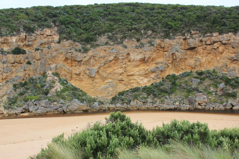
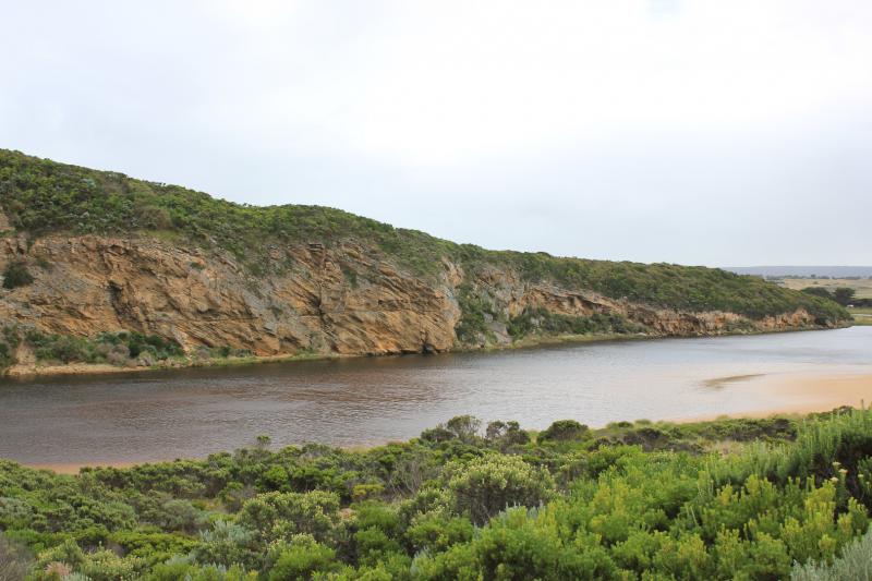
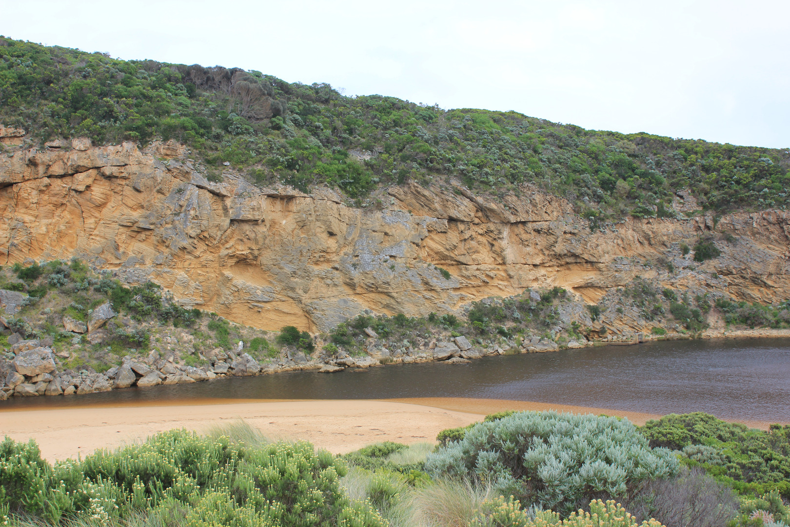
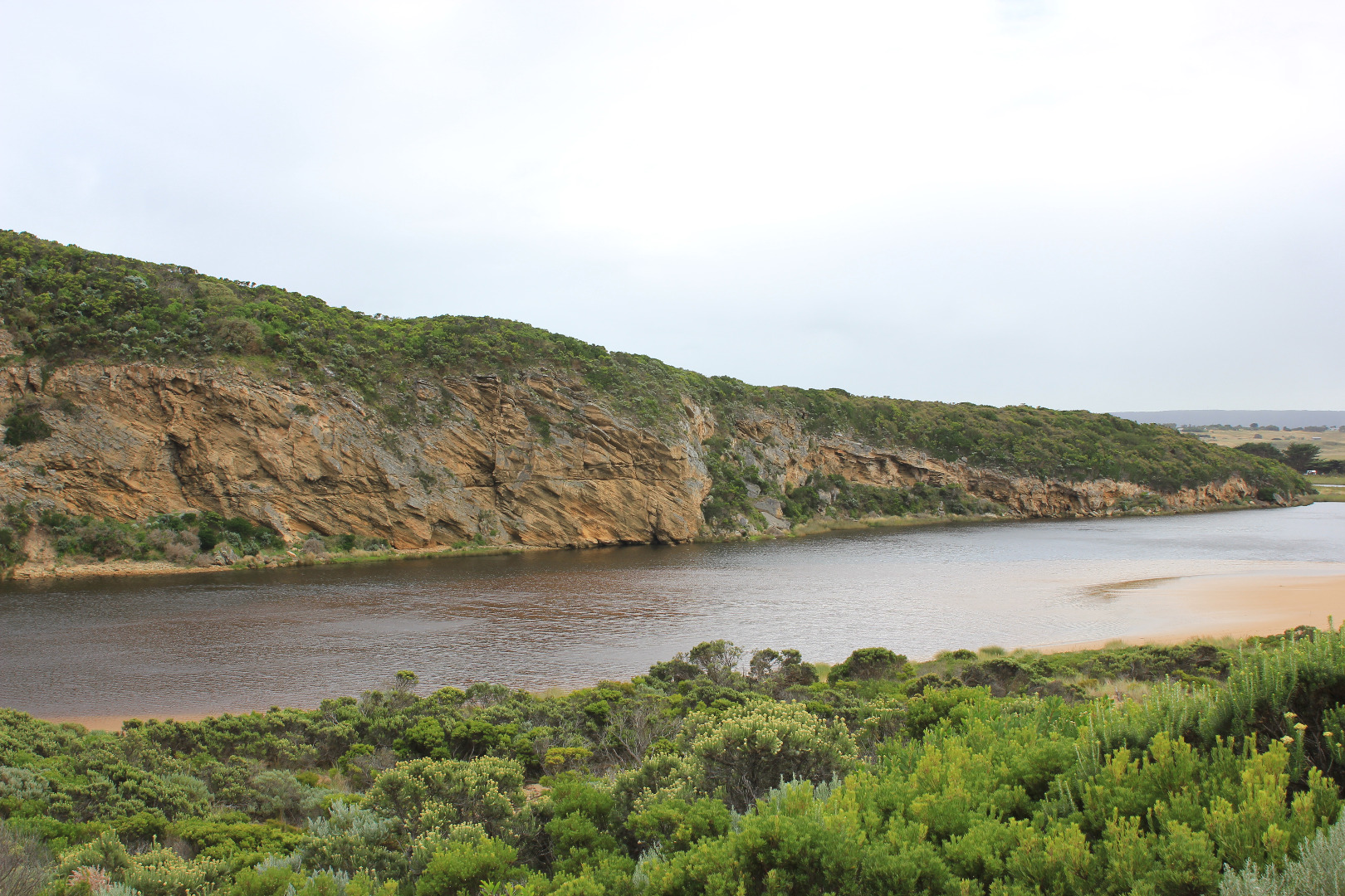
Dark discharge only around mouth, flow between rocks & cliff face (low tide). Recent release (AHD 0.70 20170216) & very low tide causing strong shallow outflow with large close spaced waves immediately downstream rocks
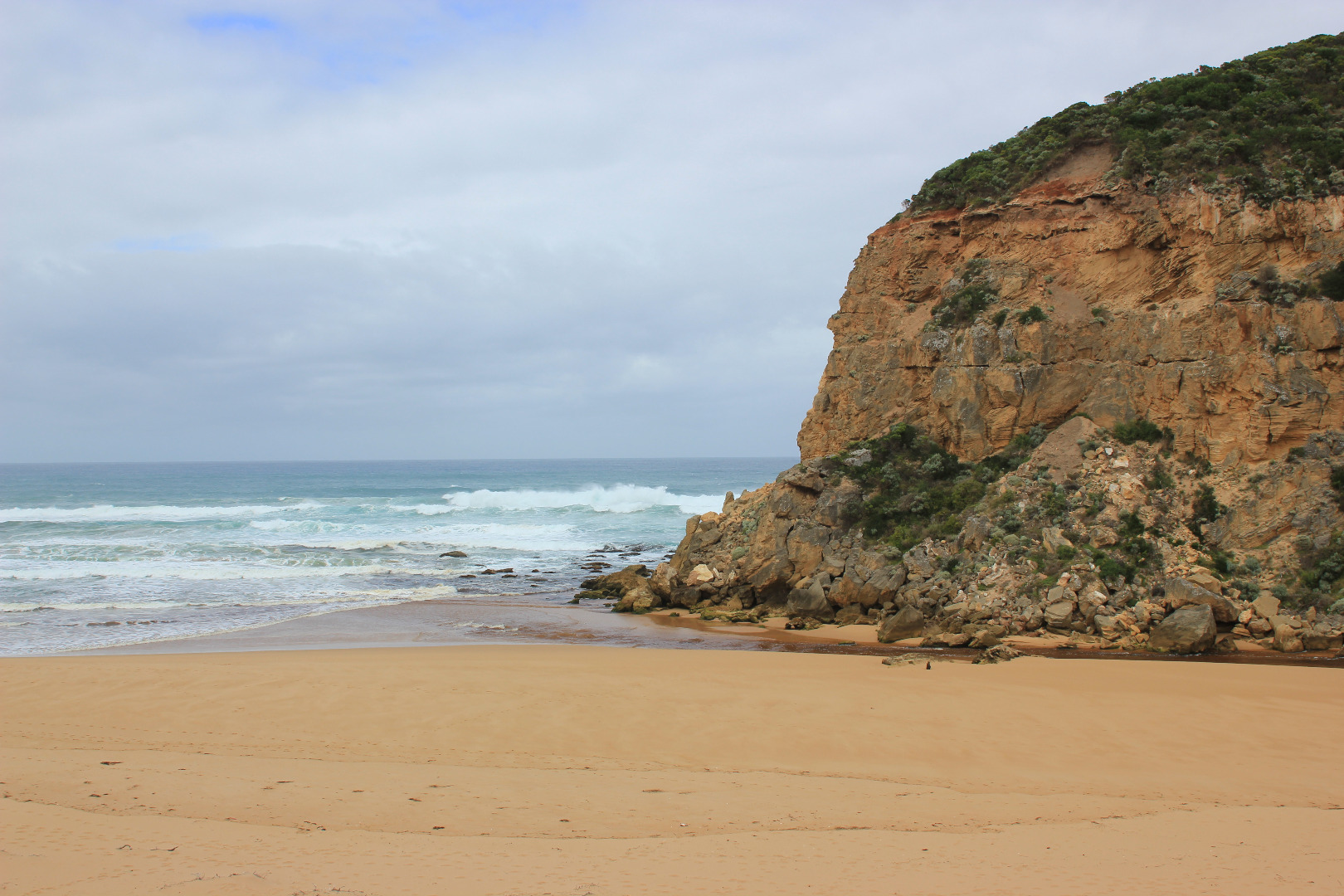
Strong long shore drift across outflow impacting on cliff
Swash line very high up on beach
Beach high toward east end but lower near mouth
Large no. small fish in shallows along low track
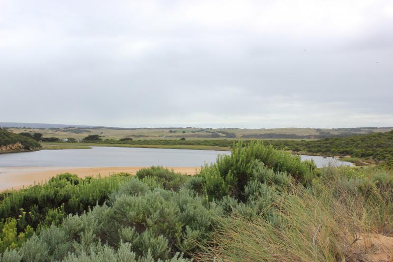
Princetown N wetlands draining but many birds observed feeding 12 Sliver gulls, 18 Masked plover, 4 Royal spoonbills, 2 with pale bills, 26 White headed Herons
Mouth Observation
| Mouth state | Open |
|---|---|
| Previous | O C C C C C O O O O O C C C C C C C C C P C O O O O O O O O O O O O O O O O O O O O O O O O O O O O O O O O O O O P |
| Flow Present? | Yes |
| Previous | N N N N N N Y Y Y Y Y N N N N N N N N N N N Y Y Y Y Y Y Y Y Y Y Y Y Y Y Y Y Y Y Y Y Y Y Y Y Y Y Y Y Y Y Y Y Y Y Y Y |
| Flow Direction | Out |
| Previous | N N N N N N O O O O O N N N N N N N N N N N O O O I I I O O O O I O O O I O O O O O O O O O O O O O O O I I O O O I |
| Above Sea | Above Estuary | |
|---|---|---|
| Berm Height (m) | ||
| Berm Length (m) |
Physical Condition
| Current | Mode | |
|---|---|---|
| Wind Direction | North-West | |
| Beaufort Scale | Moderate breeze | |
| Sea State | Rough |


All content, files, data and images provided by the EstuaryWatch Data Portal and Gallery are subject to a Creative Commons Attribution License
Content is made available to be used in any way, and should always attribute EstuaryWatch and www.estuarywatch.org.au