EstuaryWatch Data Portal
GMC Gellibrand River Estuary Mouth Observation Site
25 January 2018
Overview
| Estuary | Gellibrand River Estuary |
|---|---|
| Site | Gellibrand River Estuary Mouth Observation Site |
| Observation ID | #11748 |
| Date and Time | Thursday 25th January 2018 08:00am |
| Approved | Approved |
Notes
AHD G6 0.99 @ 07:40 (both sites are very close G2 1.01 @ 08:00)
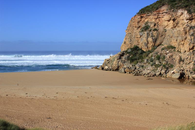
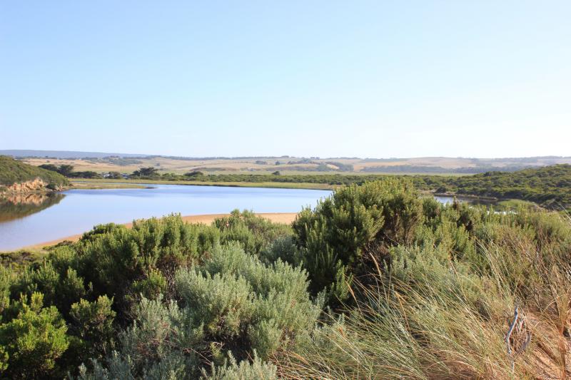
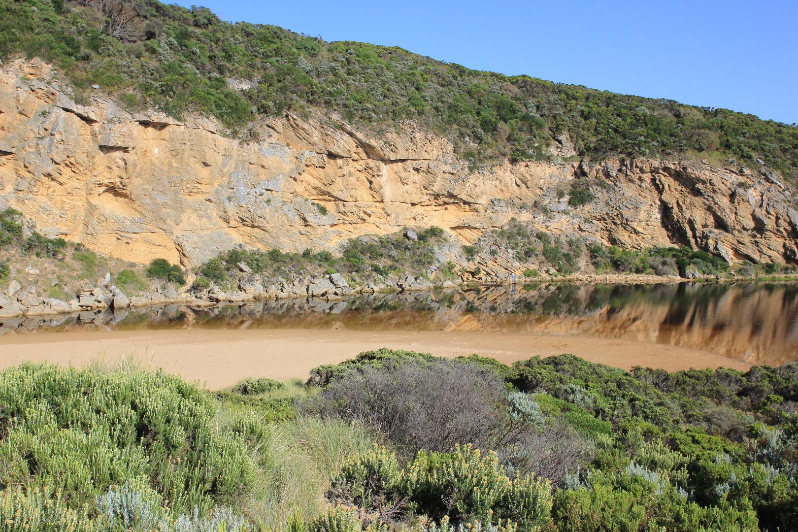
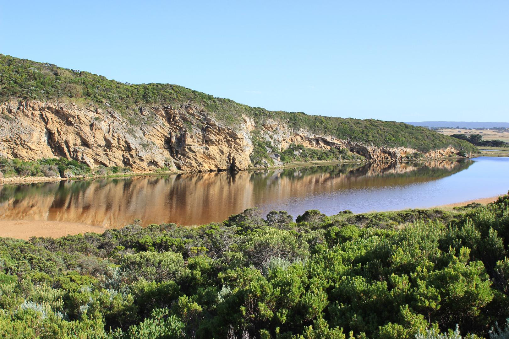
High berm next to ocean - waves from rough sea coming up close to top but sand slopes down quickly to rocks where about 30-40 cm. of tallest one is still exposed above the sand
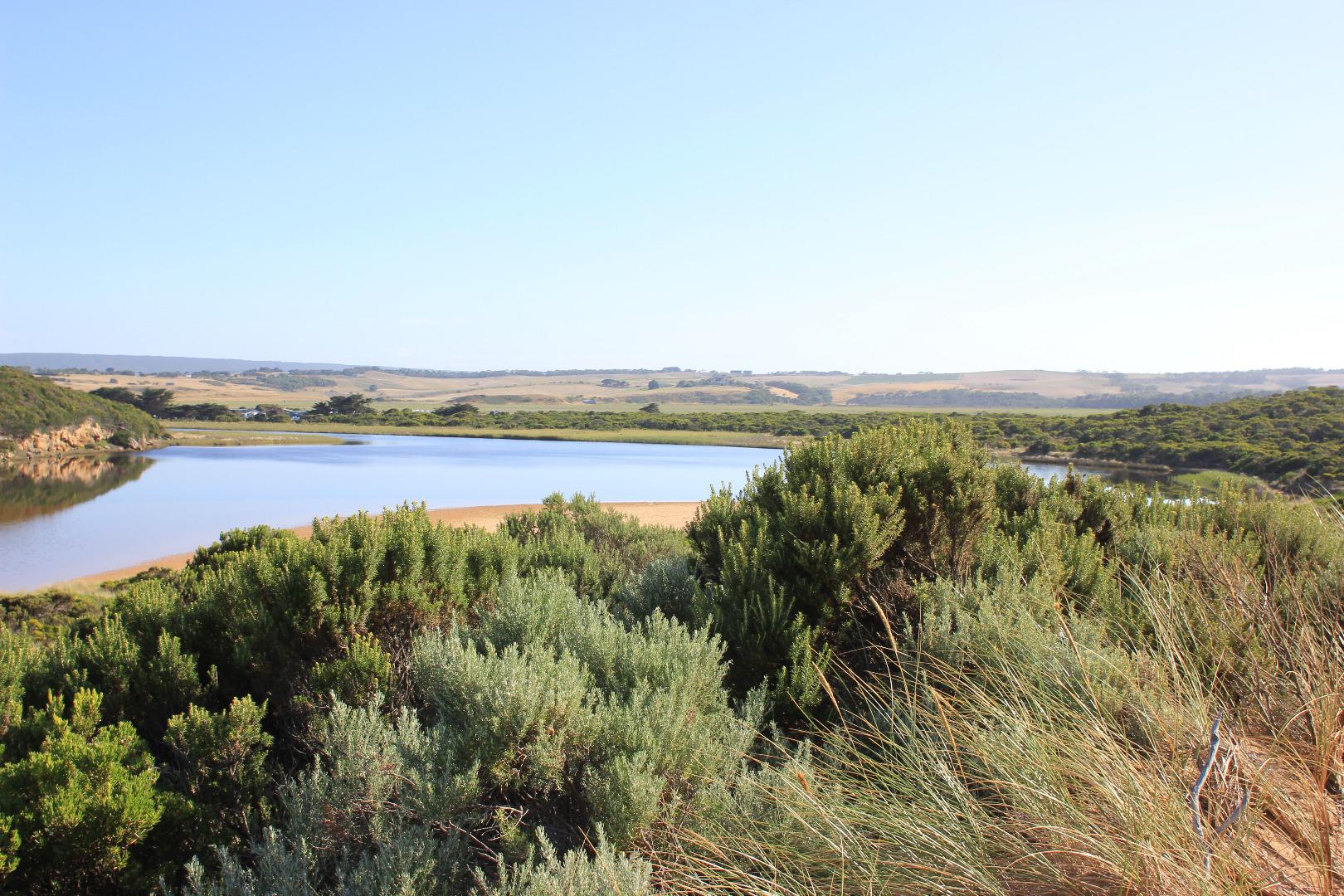
Sand is very high at east end of beach, numerous lower areas occur along the beach front till about 40-50 m. from the west cliff where it is much lower with waves going further up towards the dunes. The sand then rises much higher from there to the cliff face
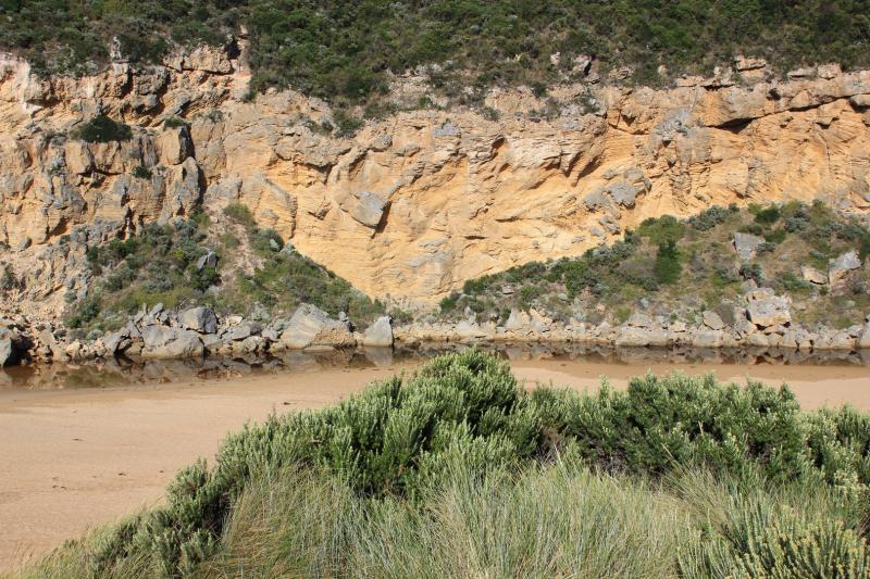
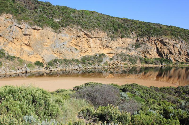
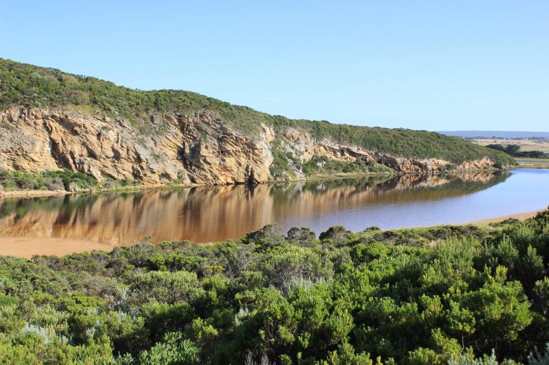
Water levels in estuary are higher with some parts of low track impassable -no water over any other tracks or roads. Water is entering drain upstream of G4
Mouth Observation
| Mouth state | Closed |
|---|---|
| Previous | O O P O P C C O O O O O O O C O C C C O O O O O C O O O O O O O O O O O O O O O O O O O O O O O O O O O P |
| Flow Present? | No |
| Previous | Y Y Y Y Y N N Y Y Y N Y Y Y N N N N N Y Y Y Y Y N Y Y Y N Y Y Y Y Y Y Y Y Y Y Y Y Y Y Y Y Y Y Y Y Y Y Y N |
| Flow Direction | N/A |
| Previous | O O I O I N N O O I N O O O N N N N N O O O O O N O O O N O O O O O O O O O O O O O O O O O O O O O O O N |
| Above Sea | Above Estuary | |
|---|---|---|
| Berm Height (m) | 1.2m | |
| Berm Length (m) | 55.0m |
Physical Condition
| Current | Mode | |
|---|---|---|
| Wind Direction | North-East | |
| Beaufort Scale | Light Air | |
| Sea State | Rough |


All content, files, data and images provided by the EstuaryWatch Data Portal and Gallery are subject to a Creative Commons Attribution License
Content is made available to be used in any way, and should always attribute EstuaryWatch and www.estuarywatch.org.au