EstuaryWatch Data Portal
GMC Gellibrand River Estuary Mouth Observation Site
16 June 2018
Overview
| Estuary | Gellibrand River Estuary |
|---|---|
| Site | Gellibrand River Estuary Mouth Observation Site |
| Observation ID | #12161 |
| Date and Time | Saturday 16th June 2018 11:45am |
| Approved | Approved |
Notes
AHD G6 2.30 @11:30 Air pressure 1009.5
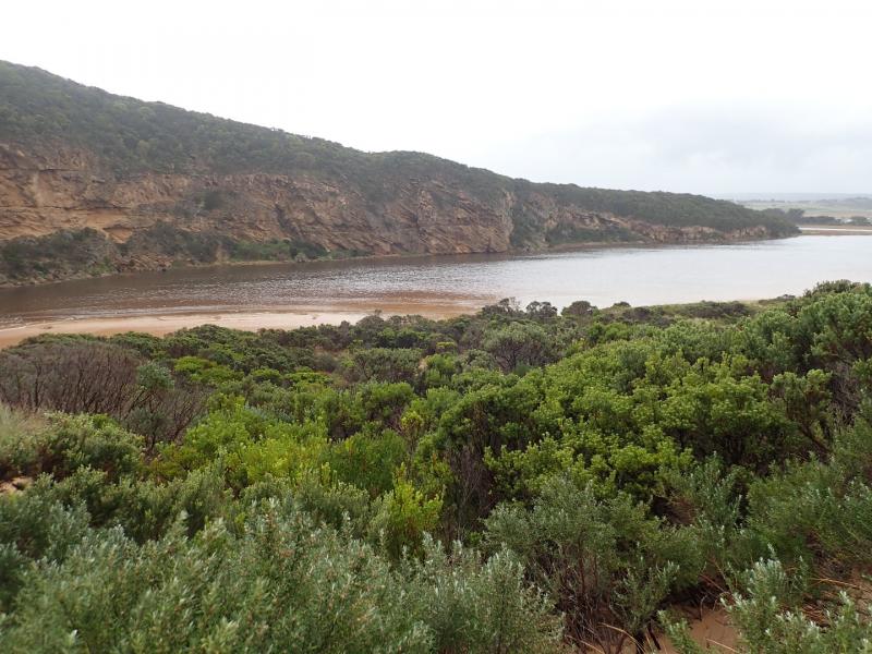
101.5 ml rain in this event up to 08:00 17-06-18. River rising quickly but water from flooding is only across OOR in very deep scoured out areas from last flood event. No water over any other tracks or roads.
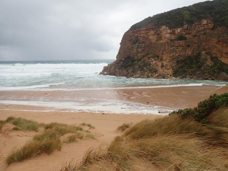
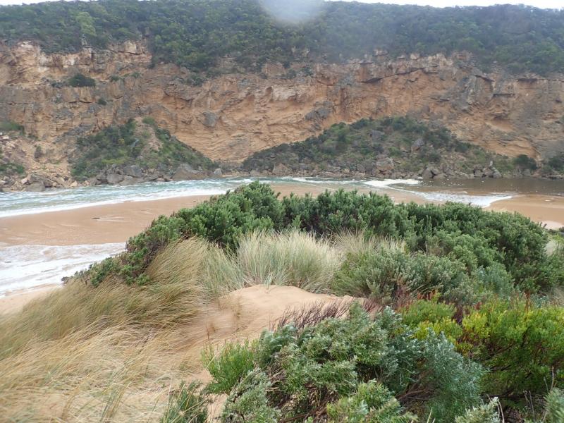
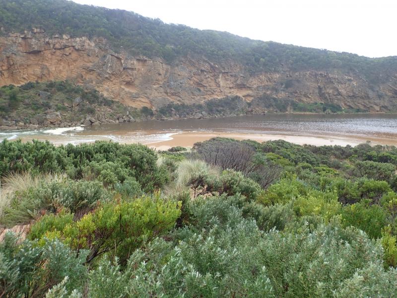
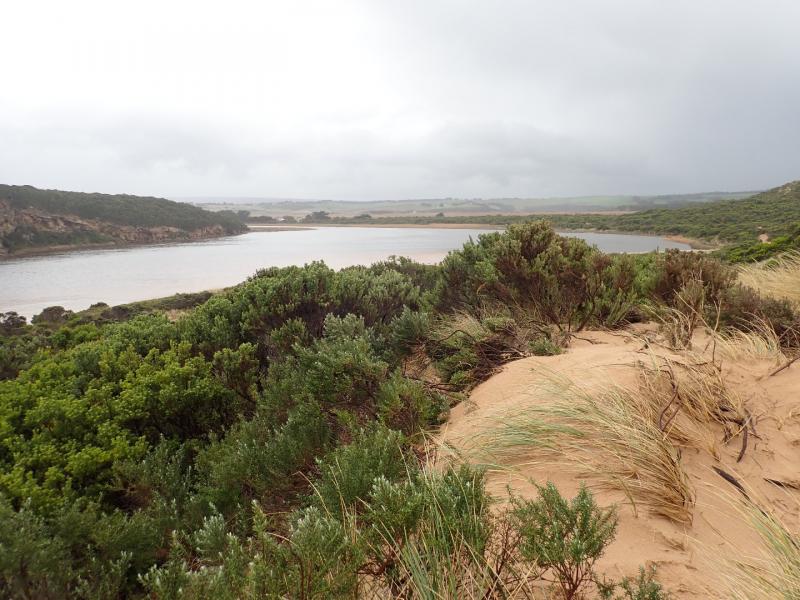
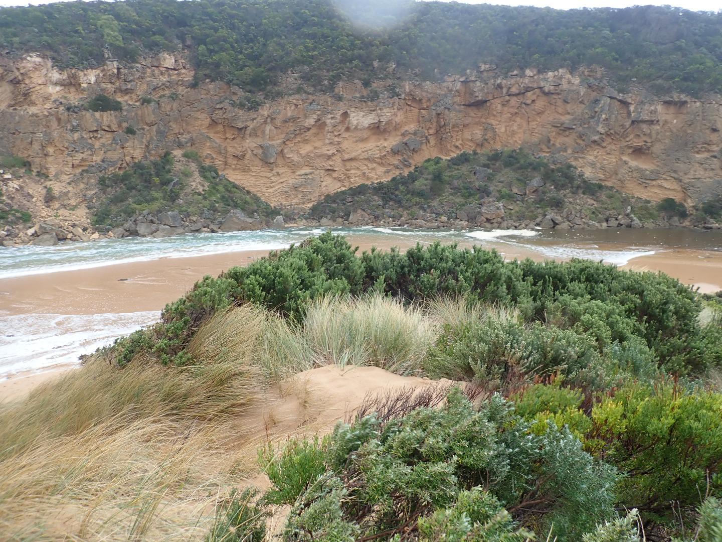
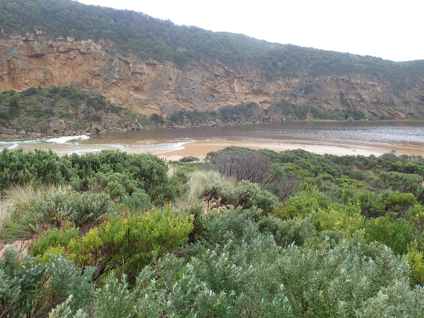
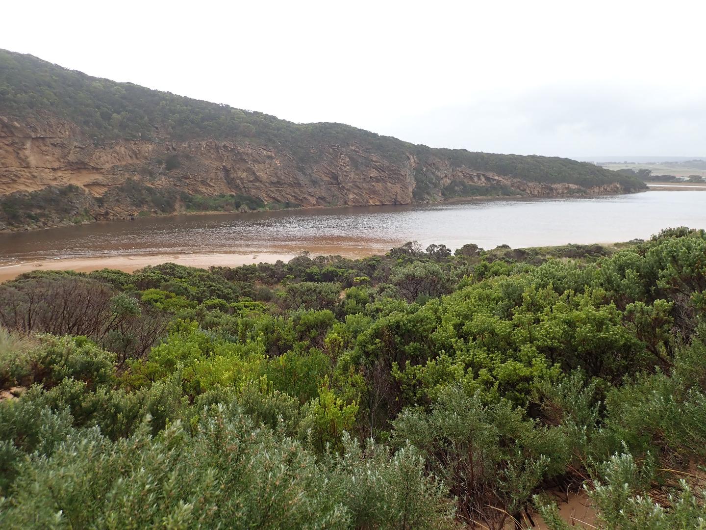
Sea very rough with occasional strong longshore drift across entrance where waves are entering very wide & moving up the channel into the estuary where they turn sharply to east. Salt (green water) for about 40 - 50m. WSW/SW swell sending waves far up on beach - water is then travelling down a slight depression west along beach behind beach face. Swell waves are curving around at actual entrance. Sand visible in breakers far out to sea & a very large amount of seaweed has been deposited in area where channel meets estuary & along the SW area of exposed sand
Mouth Observation
| Mouth state | Open |
|---|---|
| Previous | O O O O O O O O O O O O O O O O O O O O O O O O P C C C C C C C O O O O C C C C C C C C C O O O O O C O O O O O |
| Flow Present? | Yes |
| Previous | N Y Y Y Y Y Y Y Y Y Y Y Y Y Y Y Y Y Y Y Y Y Y Y N N N N N N N N Y Y Y Y N N N N N N N N N Y Y Y Y Y N Y Y Y Y Y |
| Flow Direction | In |
| Previous | N O O O O O O O O O O O O O O O O O O O O O O O N N N N N N N N O I O O N N N N N N N N N O O O O O N O I O O O |
| Above Sea | Above Estuary | |
|---|---|---|
| Berm Height (m) | ||
| Berm Length (m) |
Physical Condition
| Current | Mode | |
|---|---|---|
| Wind Direction | South | |
| Beaufort Scale | Strong breeze | |
| Sea State | Very Rough |


All content, files, data and images provided by the EstuaryWatch Data Portal and Gallery are subject to a Creative Commons Attribution License
Content is made available to be used in any way, and should always attribute EstuaryWatch and www.estuarywatch.org.au