EstuaryWatch Data Portal
GMC Gellibrand River Estuary Mouth Observation Site
7 July 2018
Overview
| Estuary | Gellibrand River Estuary |
|---|---|
| Site | Gellibrand River Estuary Mouth Observation Site |
| Observation ID | #12253 |
| Date and Time | Saturday 7th July 2018 09:40am |
| Approved | Approved |
Notes
AHD G6 2.20 @ 09:30 2.38 @ 16:02
Heavy local rainfall 04-07-18 08-07-18 = 43 ml. causing flooding from run off but no water across any roads or tracks
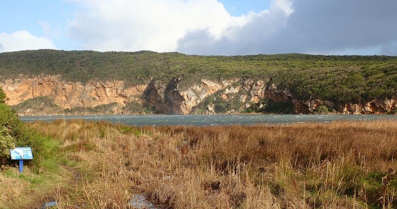
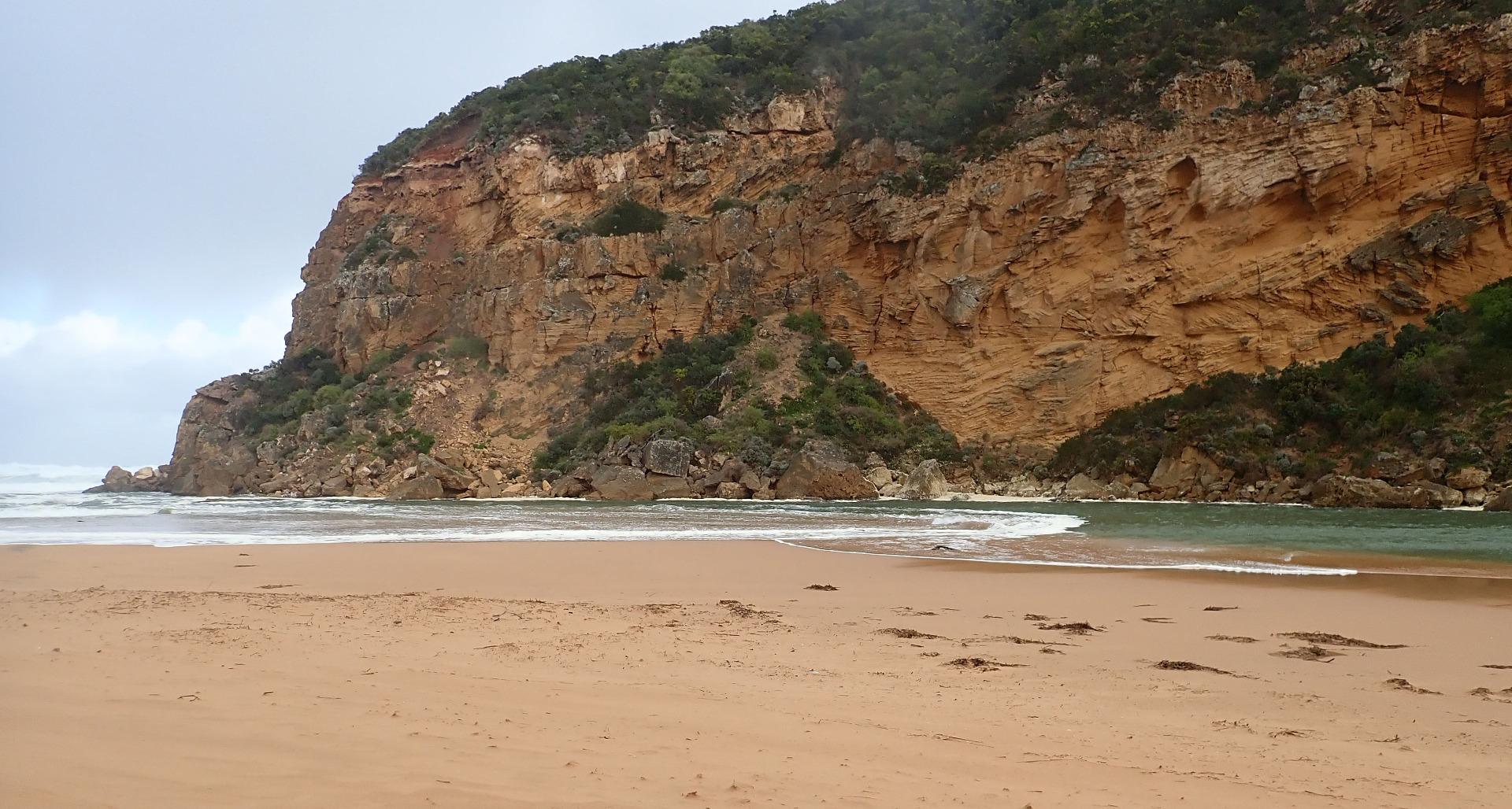
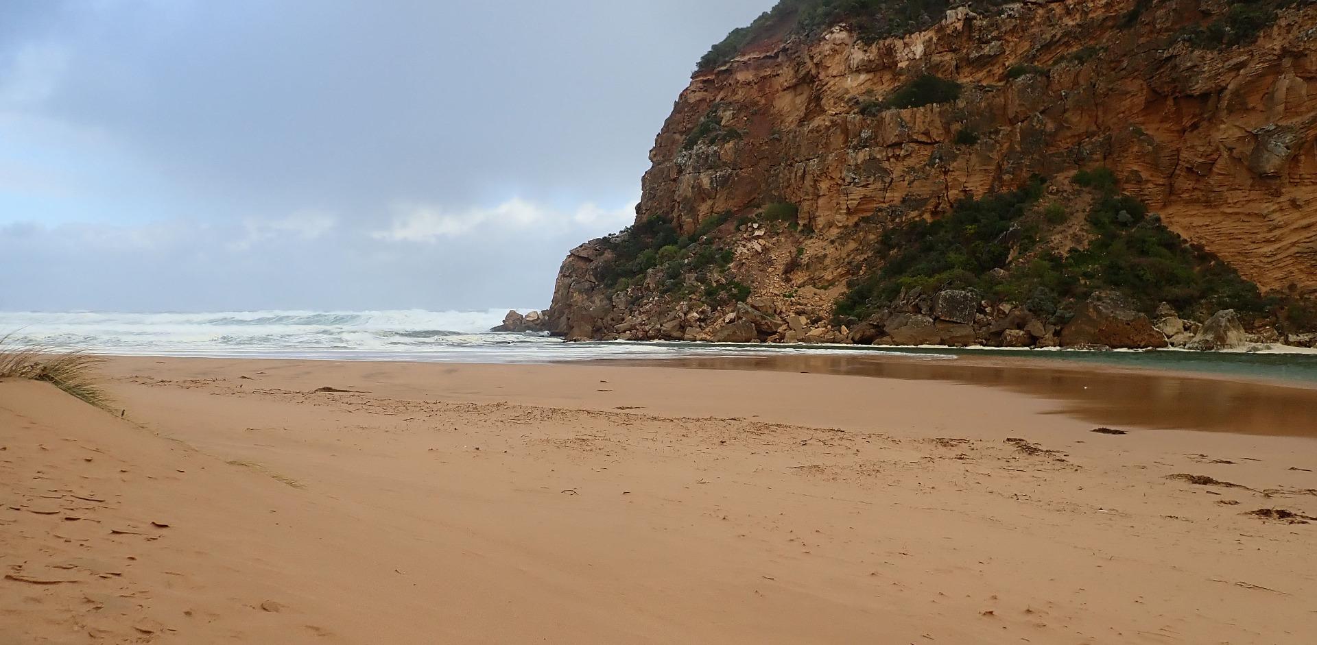
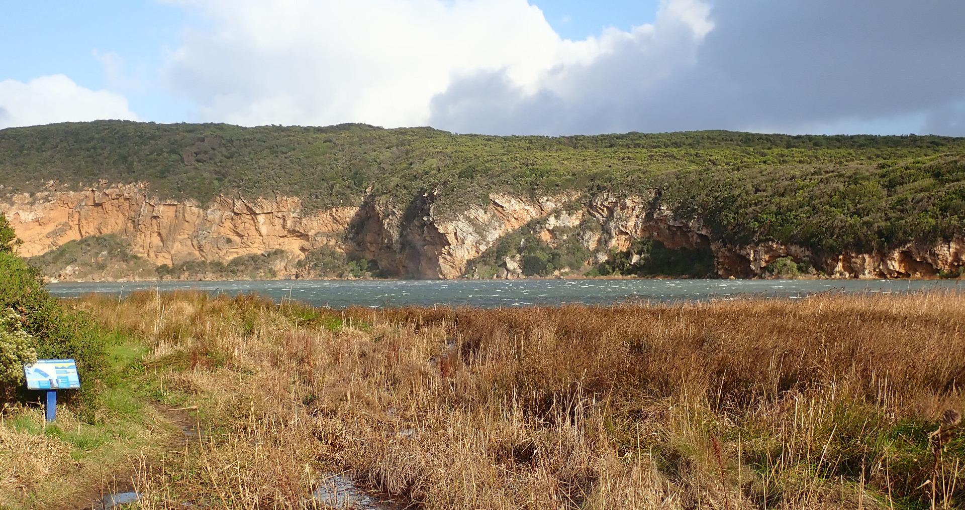
Storm surge from High 7m.seas (WSW swell 13-14 secs) & South Gale force winds, waves entering channel over a wide area & crossing over high sand build up then continuing down channel into estuary where they turn sharply east & travel along south side of estuary. Water green upstream to past G2. Wind raising small waves that travel all across the estuary to north
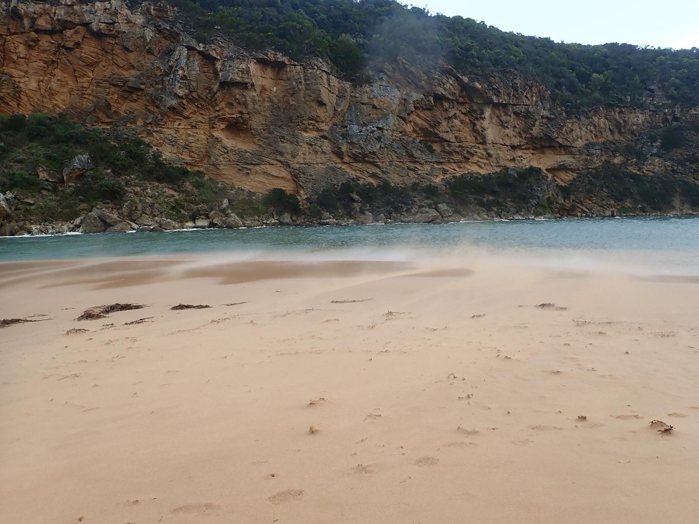
Wind impacting/scouring sand dunes with stronger gusts carrying it along channel & into the estuary
Rock falls have increased at South & east sides of Pt Ronald
No photos from Gp1 site because of dangerous conditions
Mouth Observation
| Mouth state | Open |
|---|---|
| Previous | O O O O O O O O O O O O O O O O O O O O O P C C C C C C C O O O O C C C C C C C C C O O O O O C O O O O O O O O |
| Flow Present? | Yes |
| Previous | Y Y Y Y Y Y Y Y Y Y Y Y Y Y Y Y Y Y Y Y Y N N N N N N N N Y Y Y Y N N N N N N N N N Y Y Y Y Y N Y Y Y Y Y Y Y Y |
| Flow Direction | In |
| Previous | O O O O O O O O O O O O O O O O O O O O O N N N N N N N N O I O O N N N N N N N N N O O O O O N O I O O O I O O |
| Above Sea | Above Estuary | |
|---|---|---|
| Berm Height (m) | ||
| Berm Length (m) |
Physical Condition
| Current | Mode | |
|---|---|---|
| Wind Direction | South | |
| Beaufort Scale | Gale, fresh gale | |
| Sea State | High |


All content, files, data and images provided by the EstuaryWatch Data Portal and Gallery are subject to a Creative Commons Attribution License
Content is made available to be used in any way, and should always attribute EstuaryWatch and www.estuarywatch.org.au