EstuaryWatch Data Portal
GMC Gellibrand River Estuary Mouth Observation Site
9 November 2018
Overview
| Estuary | Gellibrand River Estuary |
|---|---|
| Site | Gellibrand River Estuary Mouth Observation Site |
| Observation ID | #12514 |
| Date and Time | Friday 9th November 2018 07:48am |
| Approved | Approved |
Notes
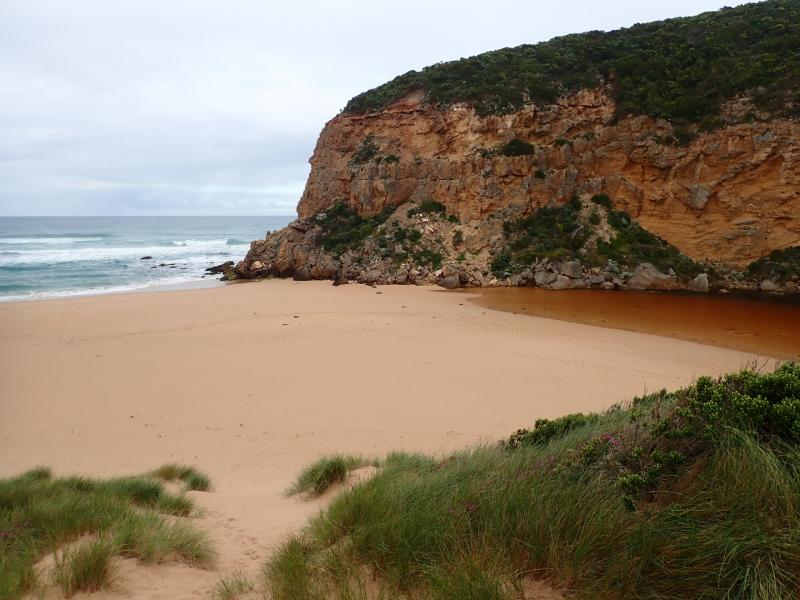
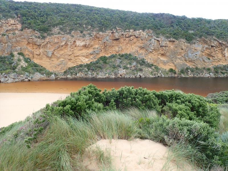
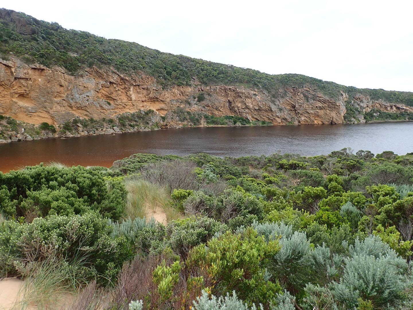
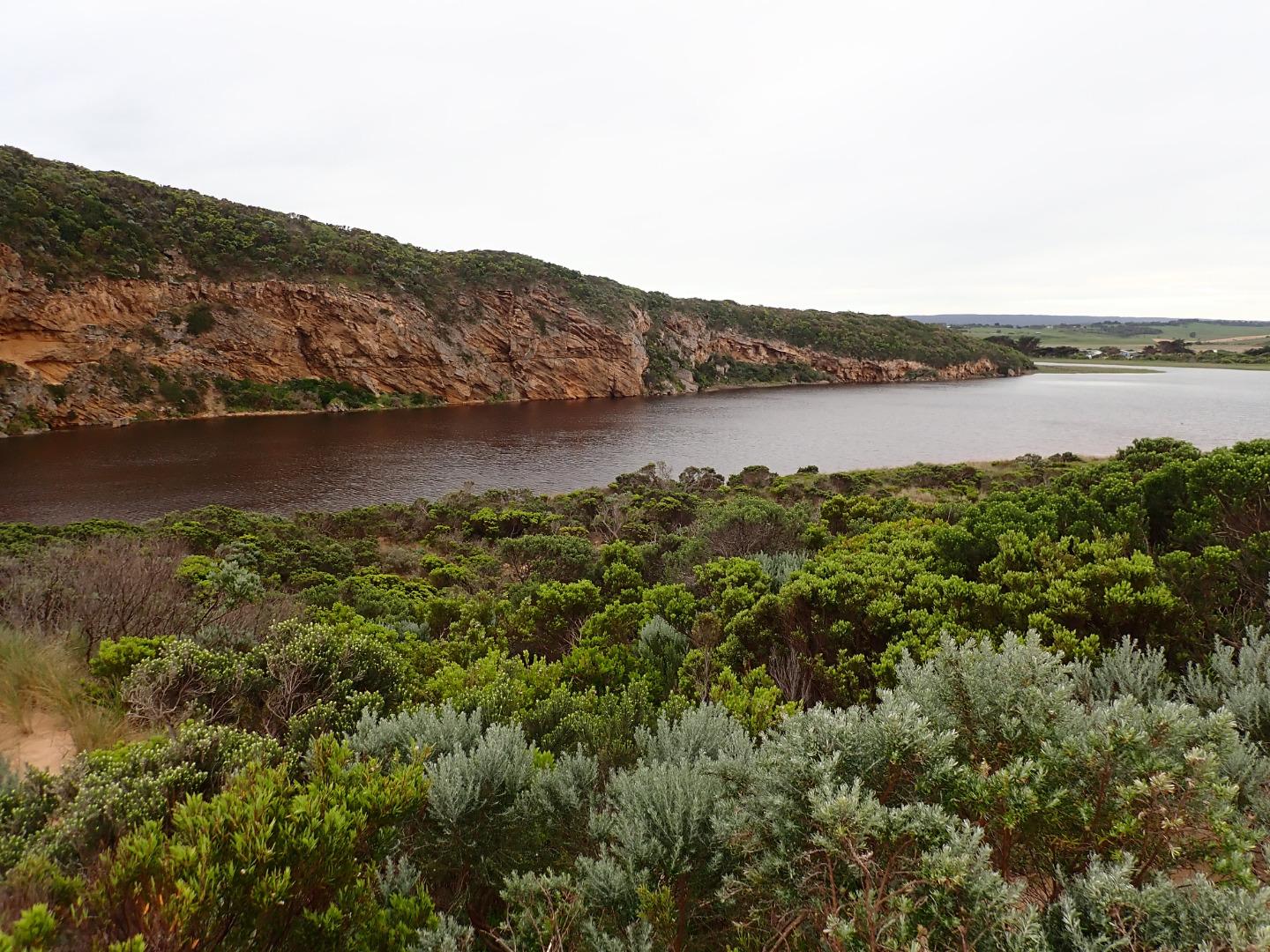
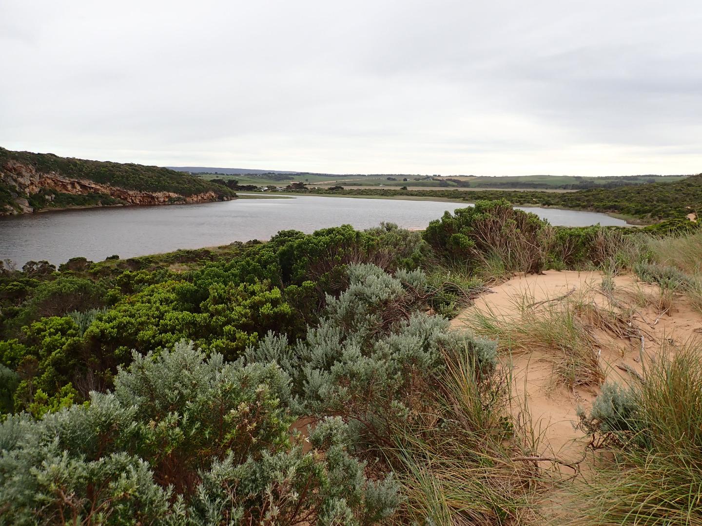
Continuing rough seas & strong west winds over past days (6.3-6.1 swell height) on 03-11-18) have created a small low berm which was observed formed across mouth around 06-11-18 pm. The top of the middle rock was still uncovered. Waves had been over topping the berm at the last hi tide & entering the estuary - indicated by sand & swash line. Beach undulating with some very low areas. Sand very high at east end where sheer sided areas occur at the top of a steep decent to ocean - beach slopes down towards start of berm & entrance. Waves have been up to base of dunes in some areas - indicated by swash line which contained large dense areas of small shells, tiny crabs, shrimp, extremely small Janthina-janthina & larger 'By the wind sailors'.
No water in camp ground or over any roads/tracks. Water up to the ocean car park along low track & up to the side of the recently raised OOR near flood markers (drains & sides of OOR are currently undergoing maintenance)
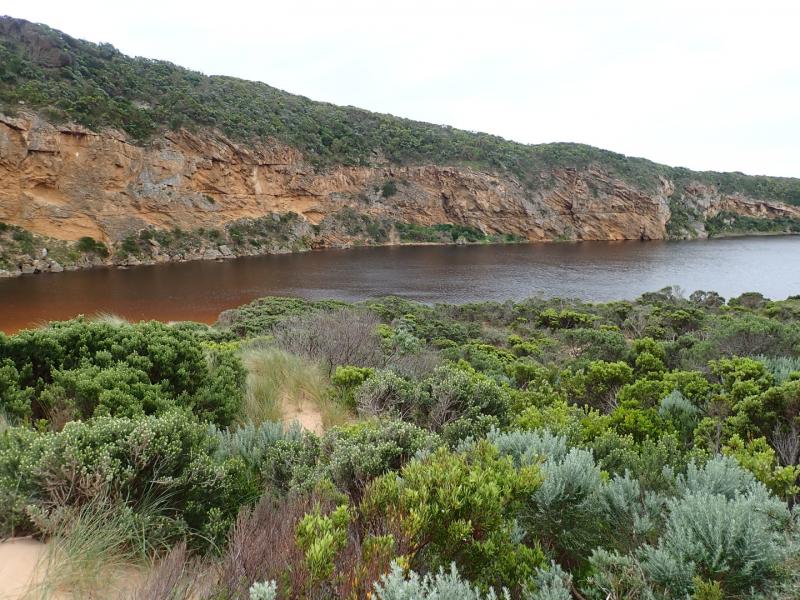
Flood water occurs on both west & east flats @ Kangaroobie, G4 (Rivernook) flats are under water with wide flow through dip in causeway. US G4 water in drains only up to between G5&G4 . Upstream from there to G5 water covers large areas on both sides of channel. Water just starting to enter upstream of Coxon's track (G5)
AHD @ G6 1.60 @ 07:15 rising to 1.61 @14:58 AHD @ G2 1.43 @ 07:15 rising to 1.46 @ 17:00
Mouth Observation
| Mouth state | Closed |
|---|---|
| Previous | O O O O O O O P C C C C C C C O O O O C C C C C C C C C O O O O O C O O O O O O O O O O O O O O O O O O O O O |
| Flow Present? | No |
| Previous | Y Y Y Y Y Y Y N N N N N N N N Y Y Y Y N N N N N N N N N Y Y Y Y Y N Y Y Y Y Y Y Y Y Y Y Y N Y Y Y Y Y Y Y Y Y |
| Flow Direction | N/A |
| Previous | O O O O O O O N N N N N N N N O I O O N N N N N N N N N O O O O O N O I O O O I O O I O O N O I O O O O O O O |
| Above Sea | Above Estuary | |
|---|---|---|
| Berm Height (m) | 0.2m | 0.1m |
| Berm Length (m) | 37.2m |
Physical Condition
| Current | Mode | |
|---|---|---|
| Wind Direction | North-West | |
| Beaufort Scale | Moderate breeze | |
| Sea State | Rough |


All content, files, data and images provided by the EstuaryWatch Data Portal and Gallery are subject to a Creative Commons Attribution License
Content is made available to be used in any way, and should always attribute EstuaryWatch and www.estuarywatch.org.au