EstuaryWatch Data Portal
GMC Gellibrand River Estuary Mouth Observation Site
27 March 2019
Overview
| Estuary | Gellibrand River Estuary |
|---|---|
| Site | Gellibrand River Estuary Mouth Observation Site |
| Observation ID | #12825 |
| Date and Time | Wednesday 27th March 2019 11:13am |
| Approved | Approved |
Notes
AHD G2 1.65 G6 1.65 @10:35
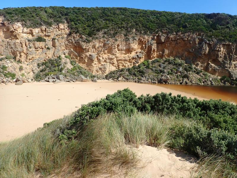
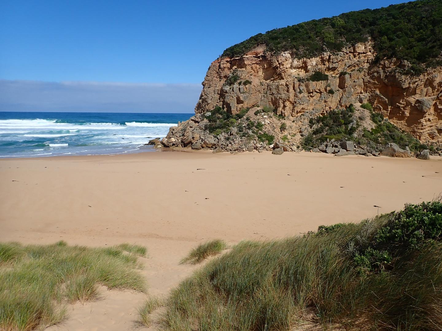
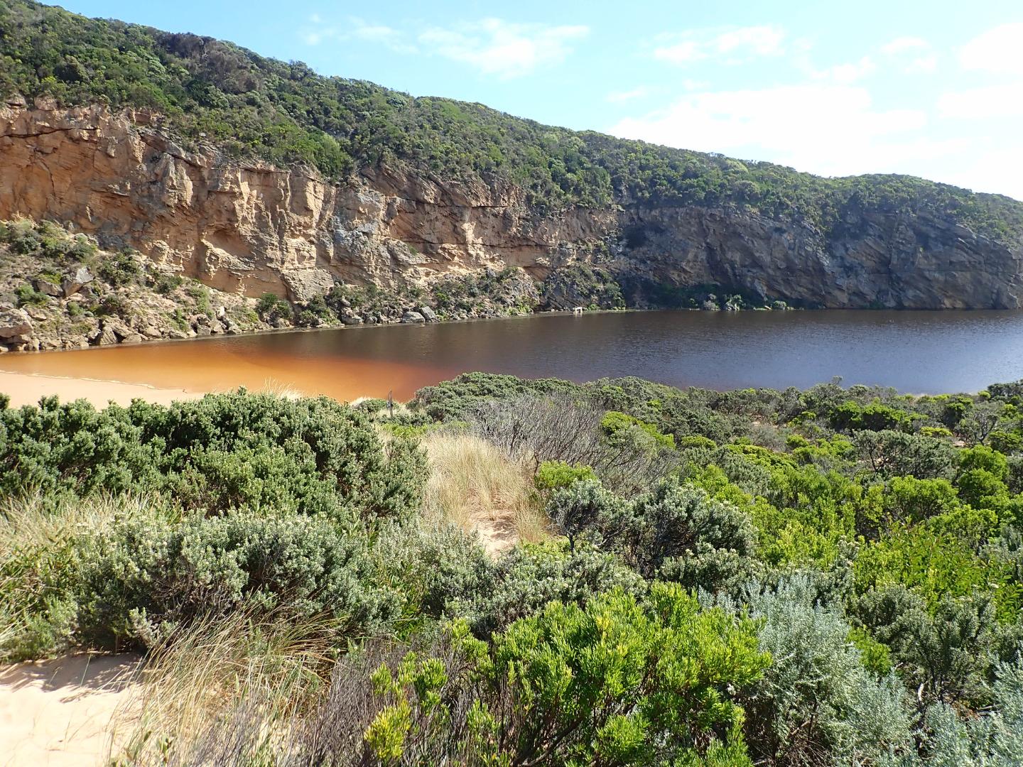
Mouth closed but waves have been over berm & up into the estuary @ last hi tide -7 dead eels were stranded trying to cross over to sea. Strong sw/ssw swell impacting at mid beach creating strong backwash with occasional longshore drift. Wide area of beach near cliff is much lower than that towards east where sand is very high
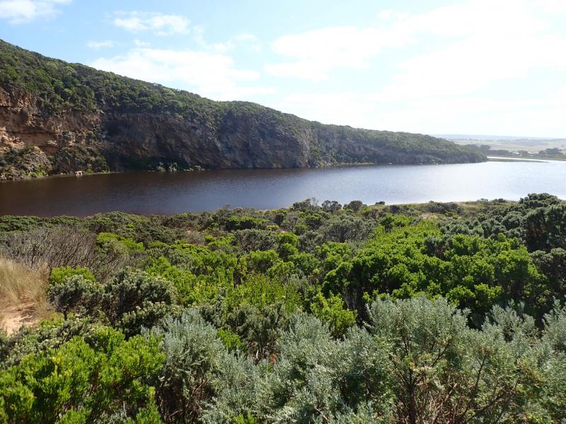
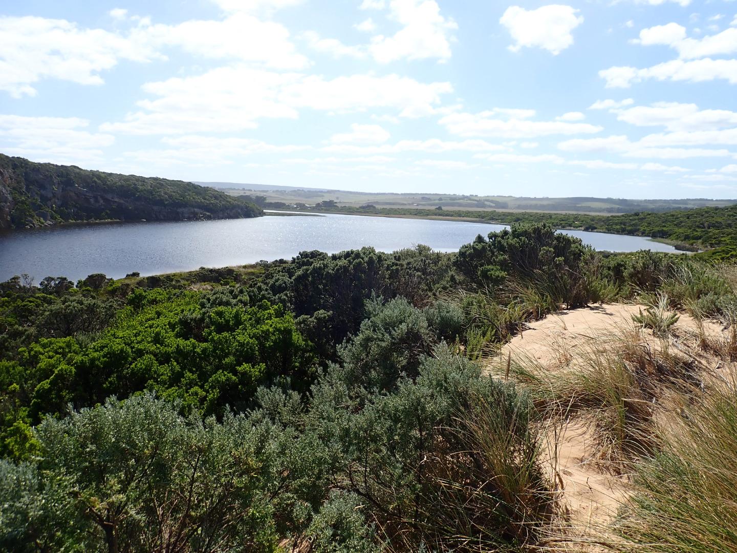
Water is up to the sides of OCR west of camp ground (which has increased water cover). Areas of OCR south & further east along return track have deep holes scoured out by vehicle traffic. Water has started to cover small area of GOR between Latrobe creek bridge & start of OCR. Water at side & over OOR at Flood markers. Water across flats DS G4 but not US G4. Flats around G5 have significant water cover that is not completely visible because of high vegetation
Mouth Observation
| Mouth state | Closed |
|---|---|
| Previous | C C C C C C O O O O O C O O O O O O O O O O O O O O O O O O O O O C O O O O C O O O O O O C C C C C C C C O O O C C C C C O P C |
| Flow Present? | No |
| Previous | N N N N N N Y Y Y Y Y N Y Y Y Y Y Y Y Y Y Y Y N Y Y Y Y Y Y Y Y Y N Y Y Y Y N Y Y Y Y Y Y N N N N N N N N Y Y Y N N N N N Y N N |
| Flow Direction | N/A |
| Previous | N N N N N N O O O O O N O I O O O I O O I O O N O I O O O O O O O N O O O O N O O O O O I N N N N N N N N O O O N N N N N I N N |
| Above Sea | Above Estuary | |
|---|---|---|
| Berm Height (m) | 0.2m | |
| Berm Length (m) |
Physical Condition
| Current | Mode | |
|---|---|---|
| Wind Direction | South | |
| Beaufort Scale | Light Breeze | |
| Sea State | Rough |


All content, files, data and images provided by the EstuaryWatch Data Portal and Gallery are subject to a Creative Commons Attribution License
Content is made available to be used in any way, and should always attribute EstuaryWatch and www.estuarywatch.org.au