EstuaryWatch Data Portal
Estuary event details
| Estuary | Barham River Estuary |
|---|---|
| Region | Corangamite CMA |
| Event type | Weather Event |
| Date and time | 12 June 2012 10:25am |
| Description | The flood on the 04/06/2012 has driven out sand from the lower estuary and river mouth. It has left bare the rock base and especially the rock shelf that maintains the minimum water height in the estuary. During the flood on the 04/06/2012 my highest water level recorded was 1.80mAHD on the estuary staff at 15.08. |
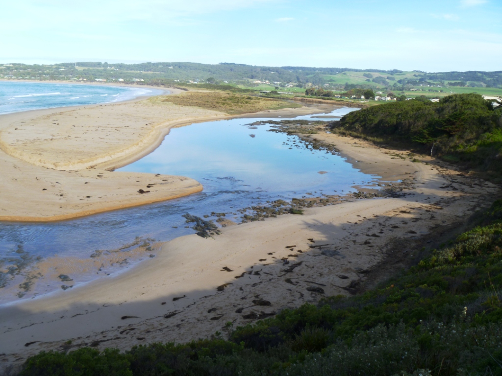
The lower level of the estuary with sand washed out and rocks exposed
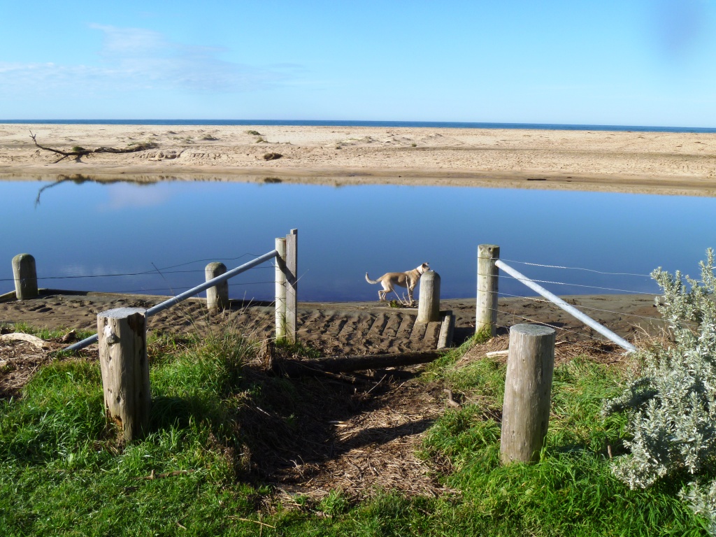
![BmP1 River mouth: The rock shelf that controls the minimum estuary water height is directly below BmP1 [right hand side of photo]](https://www.estuarywatch.org.au/documents/ccma_document_7809.jpg)
The rock shelf that controls the minimum estuary water height is directly below BmP1 [right hand side of photo]
There is considerable silt build up around the fishing platform from the flood. Silt on the fishing platform at the downstream end is about 5 cm deep. The estuary water height is approximately 0.45mAHD.

All content, files, data and images provided by the EstuaryWatch Data Portal and Gallery are subject to a Creative Commons Attribution License
Content is made available to be used in any way, and should always attribute EstuaryWatch and www.estuarywatch.org.au