EstuaryWatch Data Portal
Estuary event details
| Estuary | Barham River Estuary |
|---|---|
| Region | Corangamite CMA |
| Event type | Weather Event |
| Date and time | 24 June 2014 10:30am |
| Description |
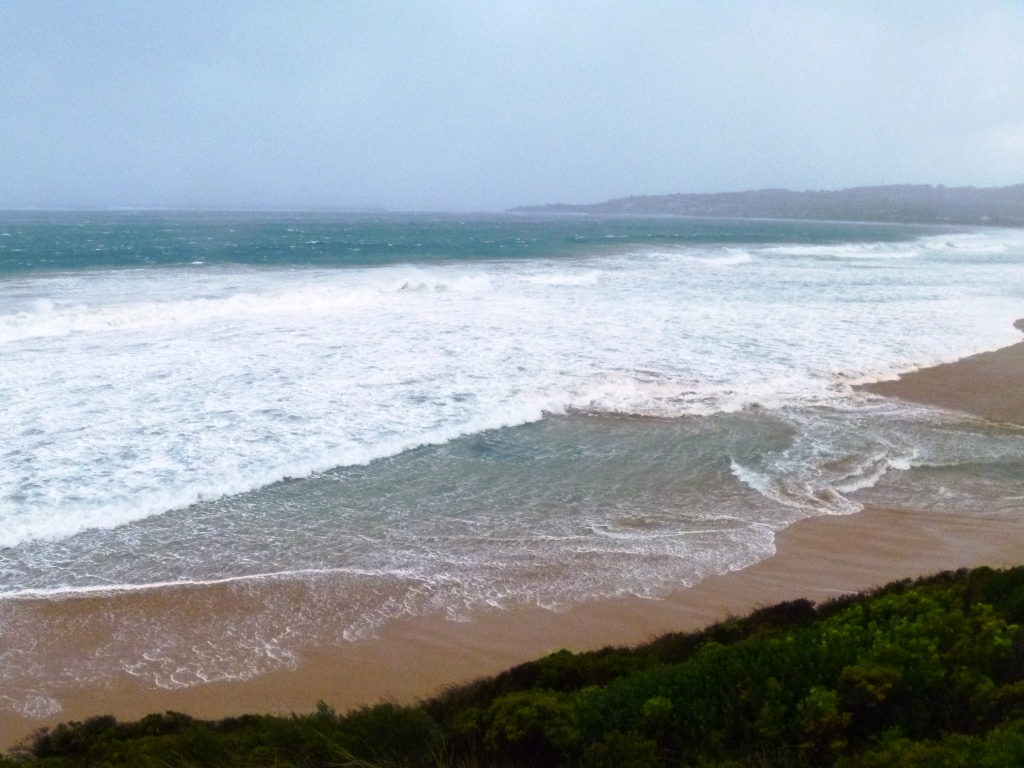
Monday 23/06/2014 11.00 the estuary level is 0.92mAHD. Tuesday 24/06/2014 had strong gale [9] force West winds and Barometer readings below 990. At the harbour the Predicted tide is 1.07mAHD at 8.54. The observed tide is 1.47mAHD at 9.50 and 0.68 mAHD at 14.00. At the Paradise river gauge the flow is loaded with sediment and the gauge is at 0.47 at 10.05 and at 0.58 at 14.12. Estuary water levels are: 9.35 its 1.76mAHD. 10.15 its 1.95mAHD. 10.30 its 1.98mAHD. 12.45 its1.92mAHD 13.58 its 1.80mAHD 15.15 its 1.62mAHD At 11.45 at the river mouth sediment laden water and logs were starting to visibly move out to sea. The observed tide was 0.4m higher than the predicted tide. The seas were rough to very rough. The estuary water height rose to a level 0.51 m higher than the high tide level. On the 25/06/2014 at 7.55 the estuary water height is 1.16mAHD and the river gauge is at 0.59. |
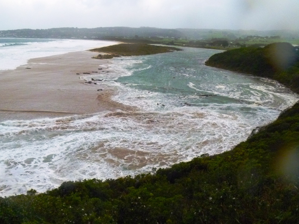
Logs held back in estuary.
No outflow, no sediment or logs going out to sea.
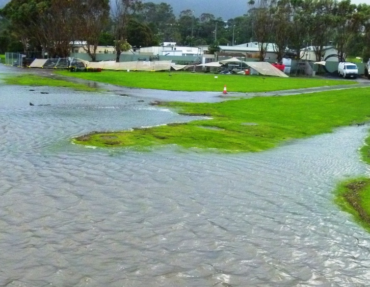
The Barwon Water service pit is clear of floodwaters.

The BmP2 site is under water. 1.95mAHD.
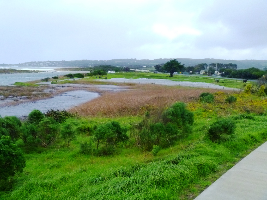
The low areas of the pony club grounds are flooded.
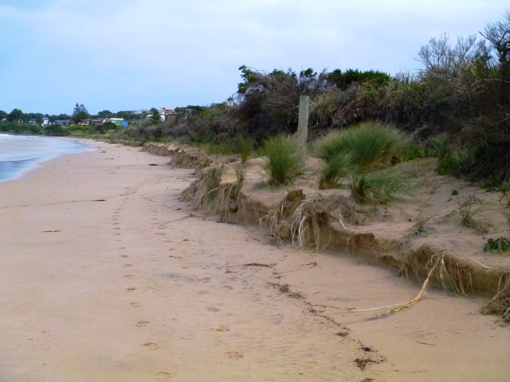
The storm has taken sand off the beach, centred opposite Heathfield Estate at the beginning of Marengo. The sand cutting is approximately 190m long and 0.60m high.

All content, files, data and images provided by the EstuaryWatch Data Portal and Gallery are subject to a Creative Commons Attribution License
Content is made available to be used in any way, and should always attribute EstuaryWatch and www.estuarywatch.org.au