EstuaryWatch Data Portal
Estuary event details
| Estuary | Barham River Estuary |
|---|---|
| Region | Corangamite CMA |
| Event type | Weather Event |
| Date and time | 16 May 2009 16:00pm |
| Description |
After several days of West to Nth-West winds a large swell had built up and 3 metre waves were coming into the Barham River Mouth. The estuary water height was 1.39mAHD at 10:15 and the river mouth was open with flow out. At 17:15 the estuary water level was 1.78mAHD and the river mouth was still just open with flow in and out.The peak tide recording at the harbour was at 16:33, was 1.19mAHD. As well as the sea flooding the estuary, the large waves entering the river mouth undercut the cliff at the base of Pt Bunbury. One metre and more in depth, 2 to 4 metres in height, the cliff collapsed over a distance of 60 metres. Significant damage to Pt Bunbury under photopoint BmP1 occurred. |
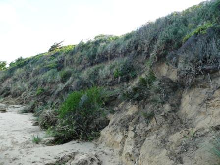
Collapse of cliff is 3 to 4 metres high.
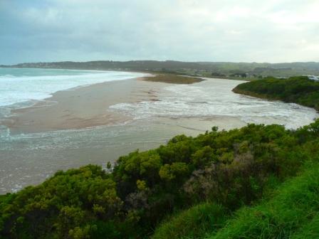
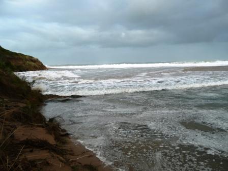
Inside the river mouth.
Little seawater coming over the high berm opposite but foam and seaweed have been forced 500 metres up the river from the mouth.
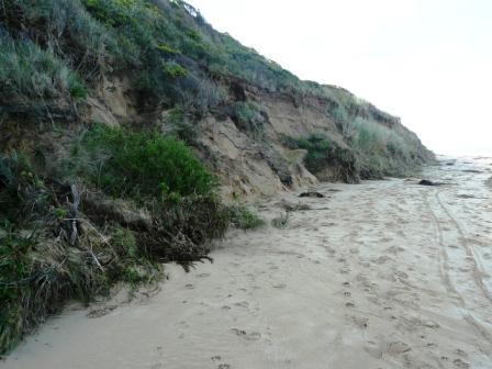
Photo taken 2 days after the weather event. Collapse of cliff is about 3 metres high.
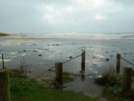
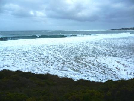
Water flowing out of river mouth between waves.
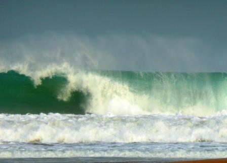
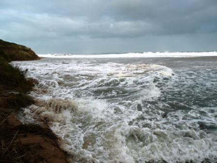
Wave coming in the river mouth.
Wave entering the river mouth.
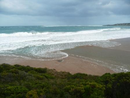
Wave just outside the river mouth.
Wave progressing in from the river mouth.

All content, files, data and images provided by the EstuaryWatch Data Portal and Gallery are subject to a Creative Commons Attribution License
Content is made available to be used in any way, and should always attribute EstuaryWatch and www.estuarywatch.org.au