EstuaryWatch Data Portal
Estuary event details
| Estuary | Barham River Estuary |
|---|---|
| Region | Corangamite CMA |
| Event type | Weather Event |
| Date and time | 26 April 2009 14:40pm |
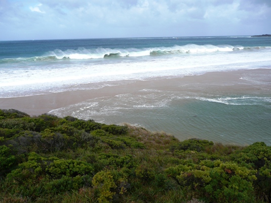
| Description | The Barham River mouth had been closed since the 27th March with an estuary water level of 0.82mAHD. Settled weather and small swell over the next 4 weeks meant the estuary water level rose slowly. By 6:30 on the 26th April the estuary water level was 1.96mAHD. As the day progressed the swell built to 2 metres and above and coincided with a high high tide in the middle of the day. The combination of the large swell and elevated sea level from the high tide created an extensive sea flood on the farmland that is part of the barham River floodplain/Estuary. The water level reached in the estuary was 2.3mAHDbefore the river mouth opened with the receding tide. |
A large amount of seawater is now entering the estuary.
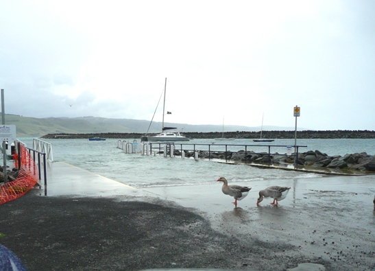
At the recreation jetty in the harbour the water level is at the top of the boat ramp. The mean water level at this location is 1.7mAHD.
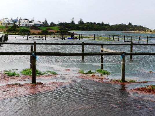
Pony Club land is adjacent to BmP2. All their land was inundated.
The Great Ocean Road bridge is 80 metres from BmP2. The photo is the view looking inland from the Eastern end of the bridge.
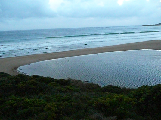
The peak height of the river mouth berm is close to the sea; it seems to be an indicator it has been built up over a long period with small swell. Certainly the case in this instance.
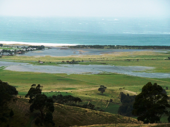
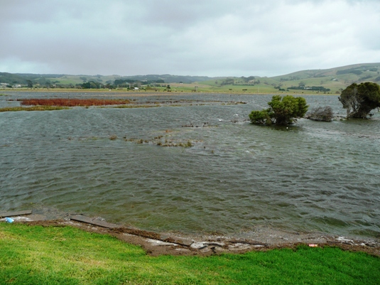
The surge of seawater into the estuary inundated farmland over 1km inland.

All content, files, data and images provided by the EstuaryWatch Data Portal and Gallery are subject to a Creative Commons Attribution License
Content is made available to be used in any way, and should always attribute EstuaryWatch and www.estuarywatch.org.au