EstuaryWatch Data Portal
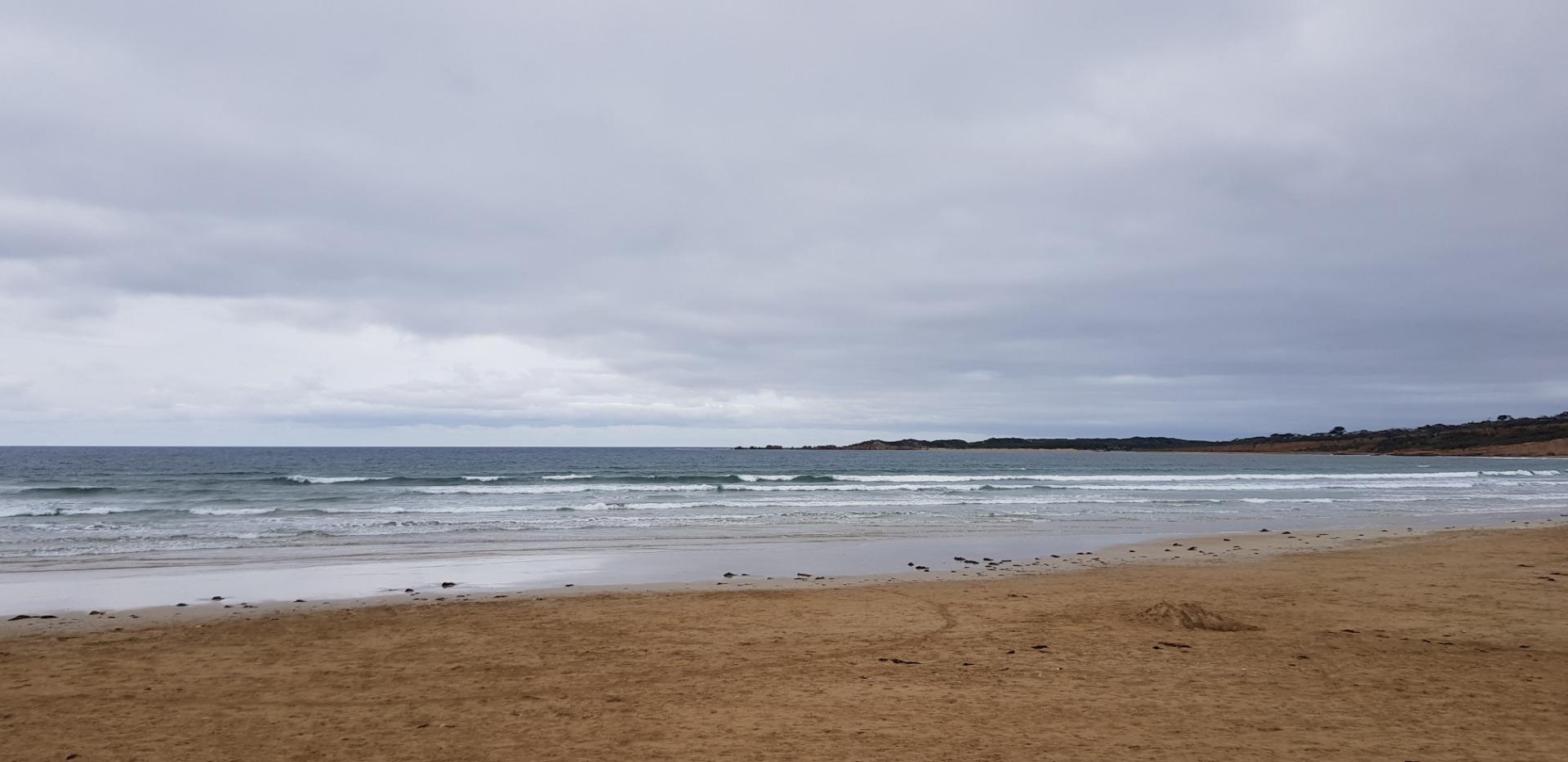
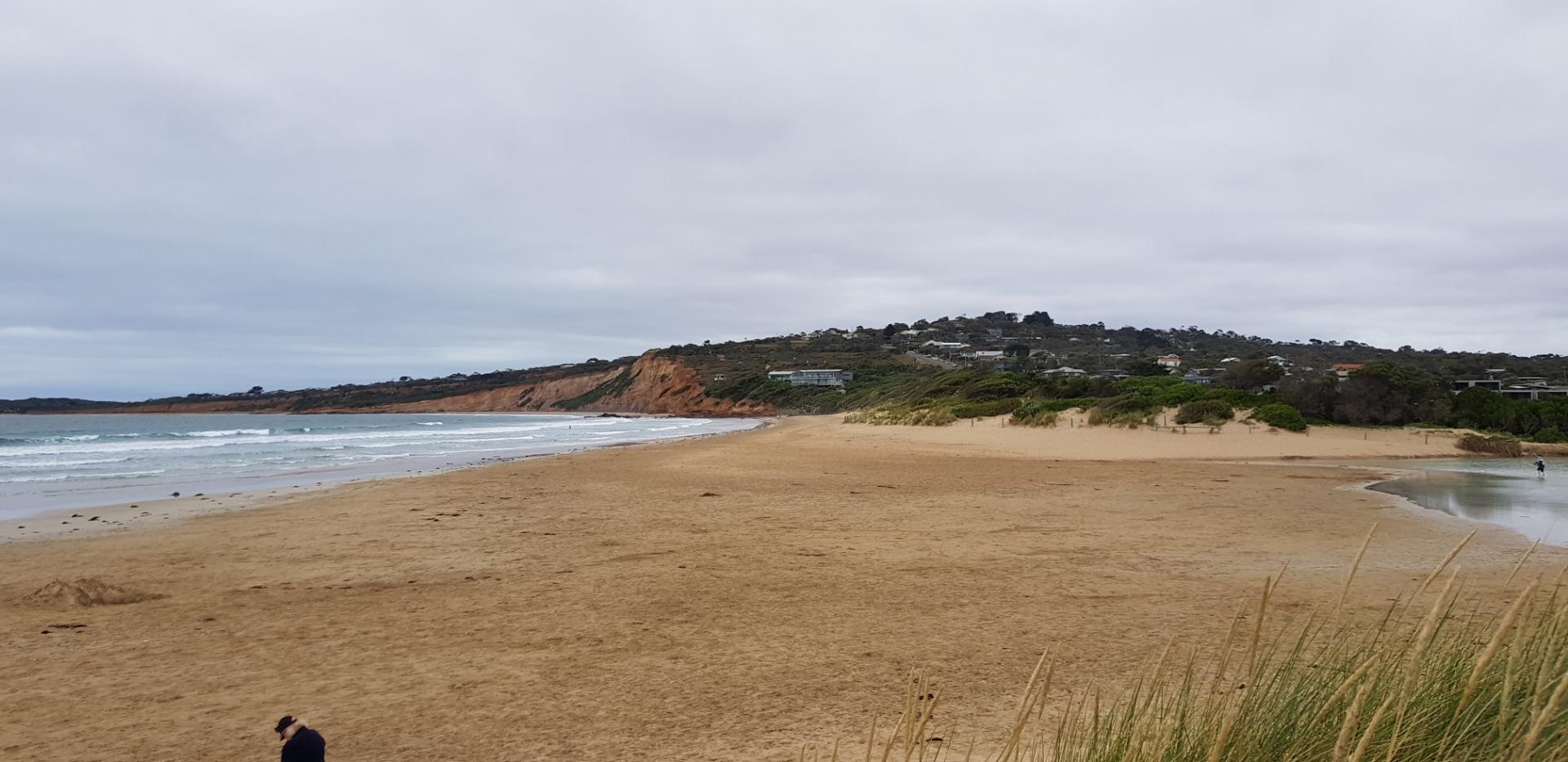
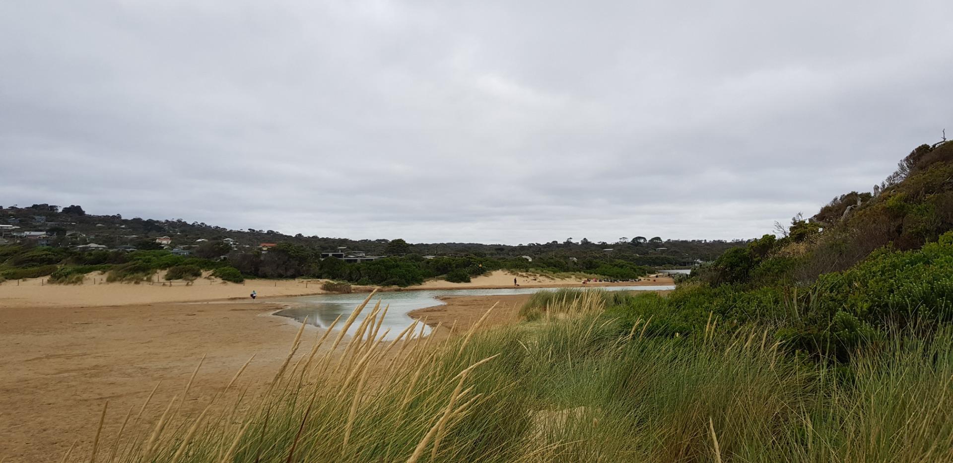
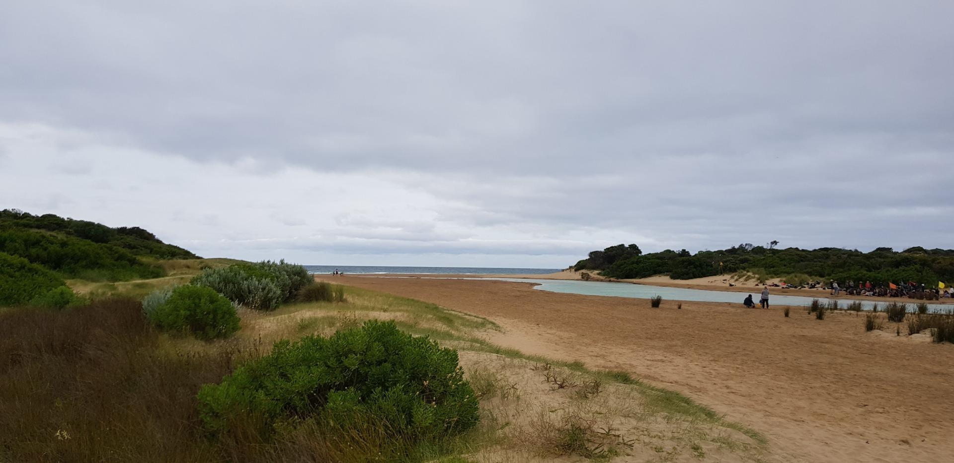
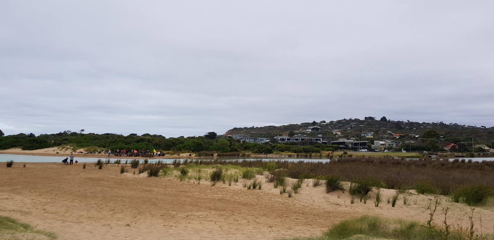
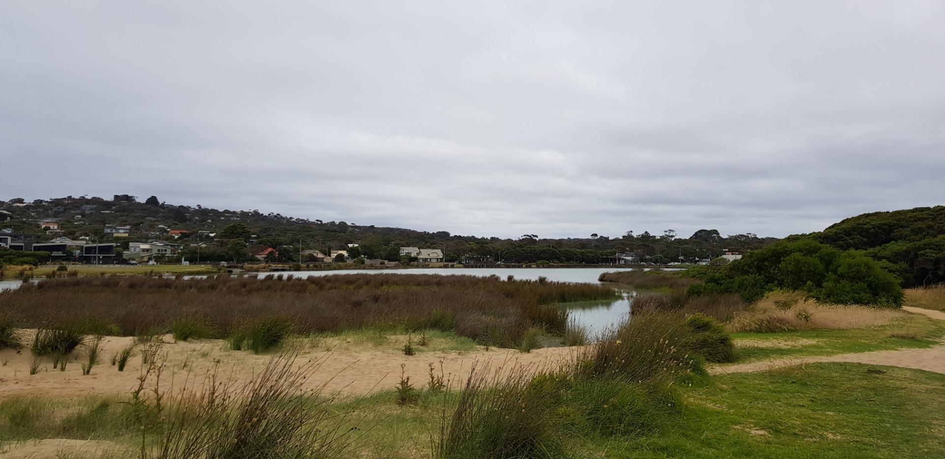
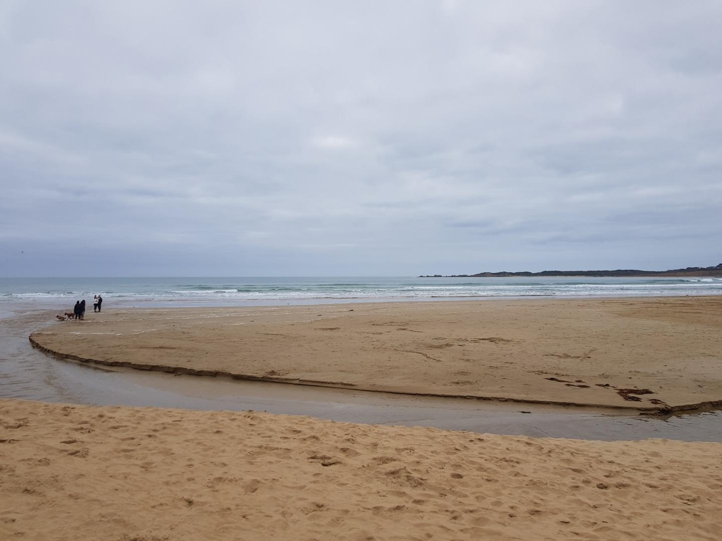
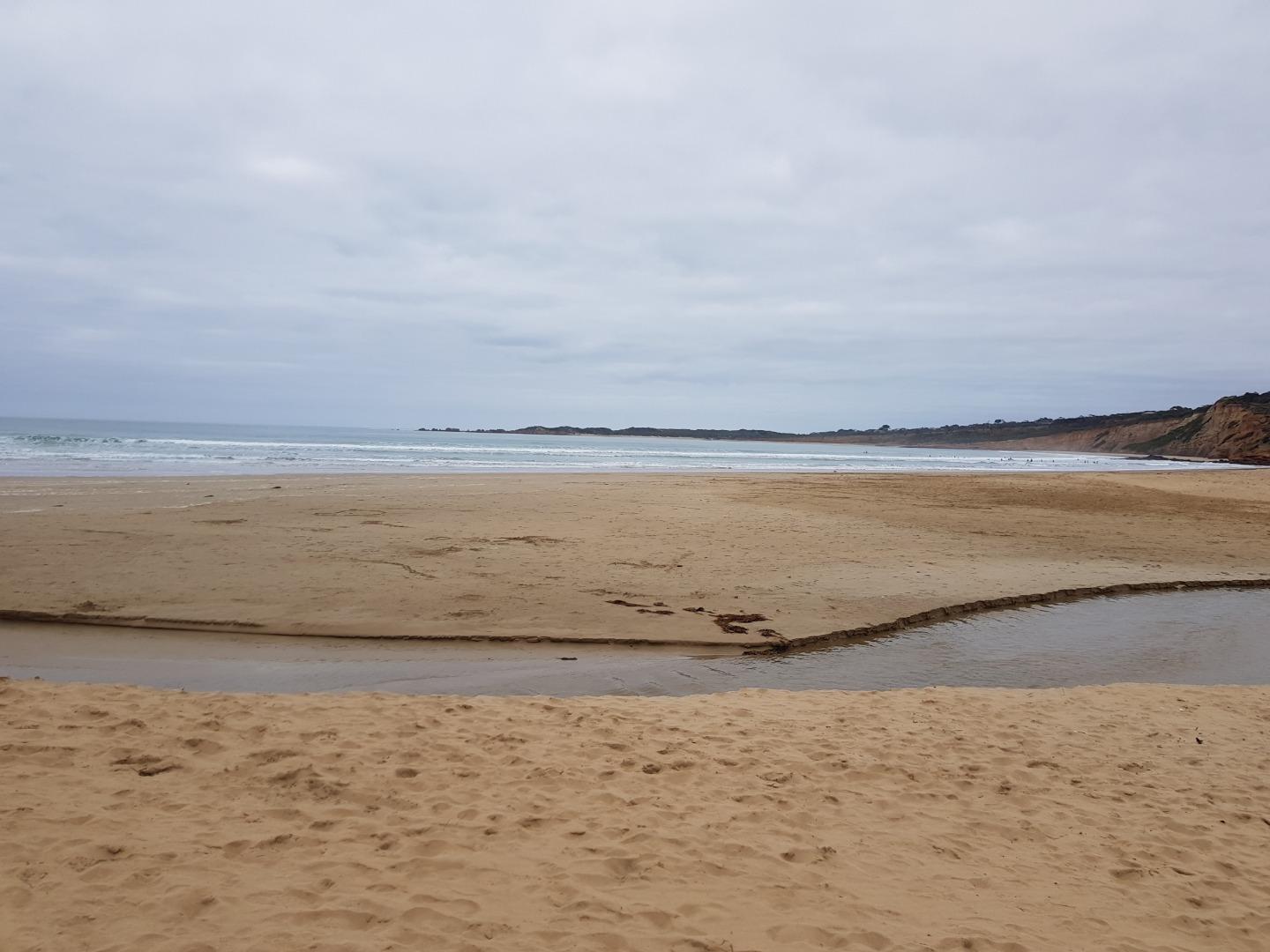
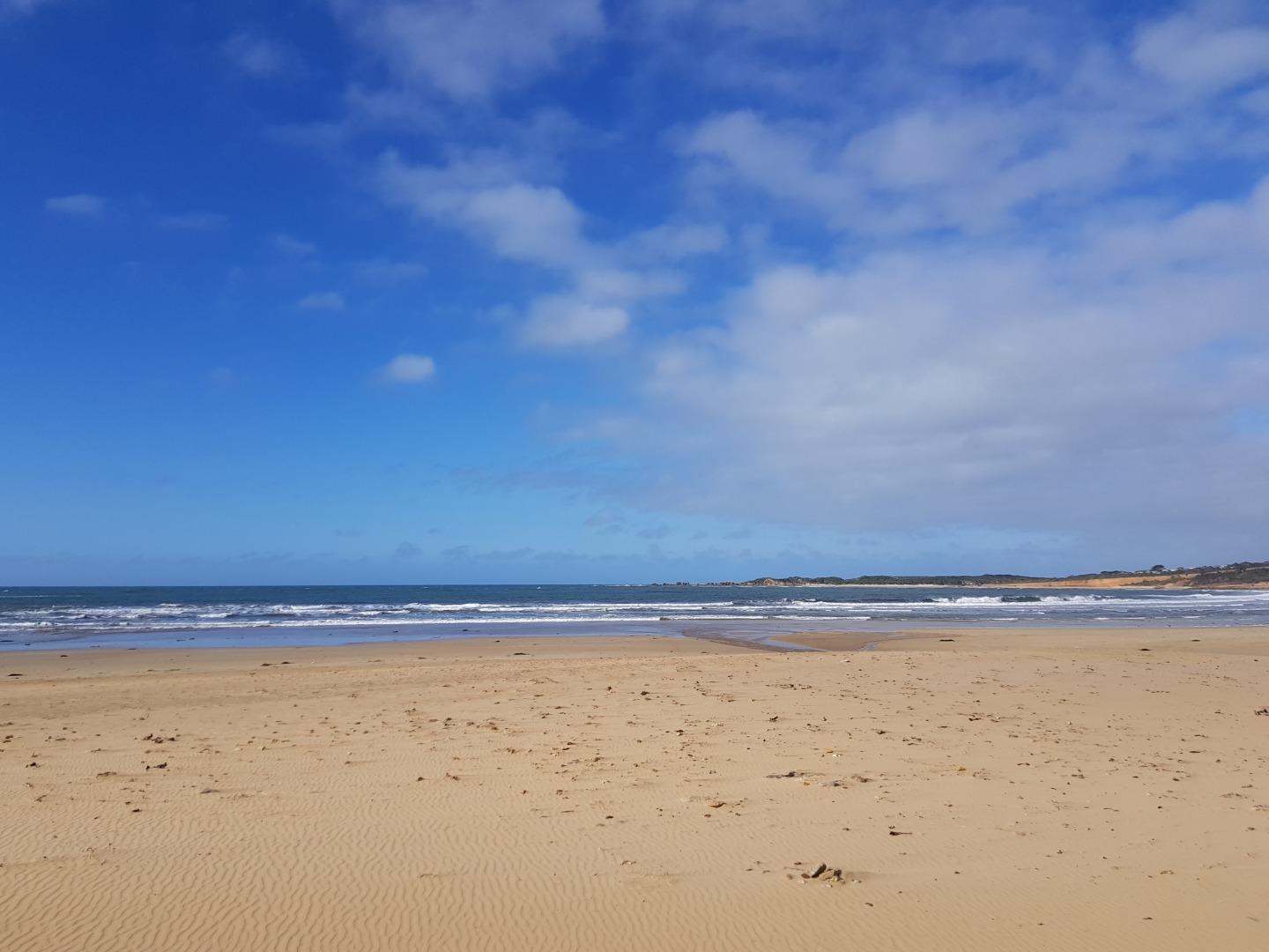
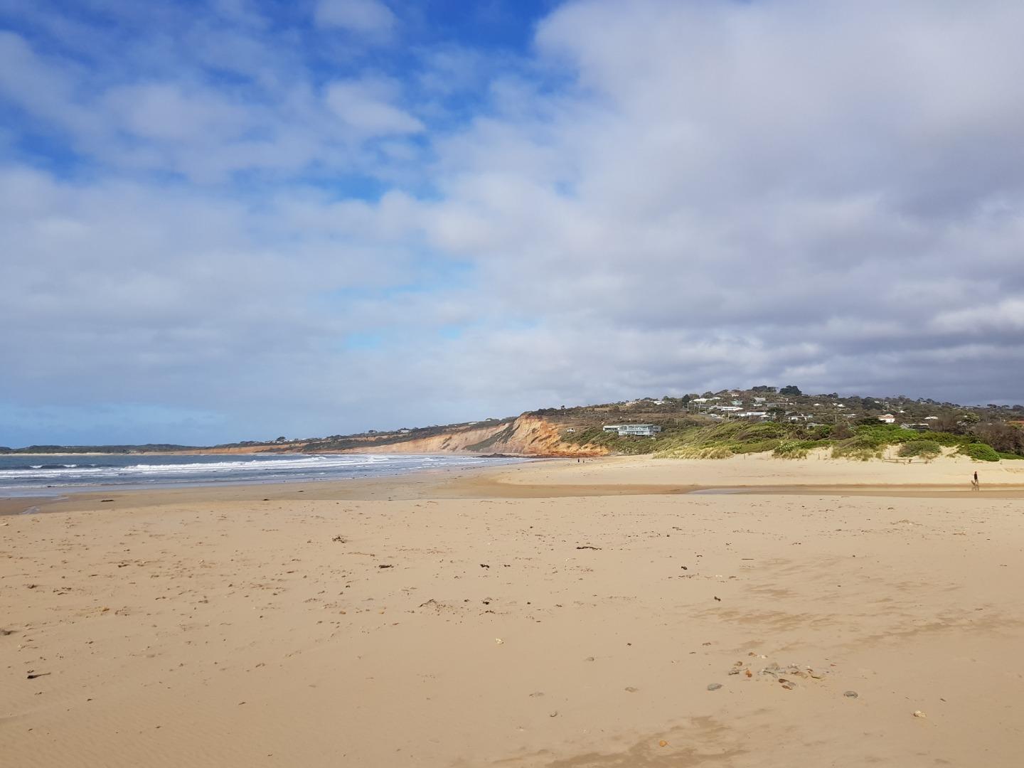
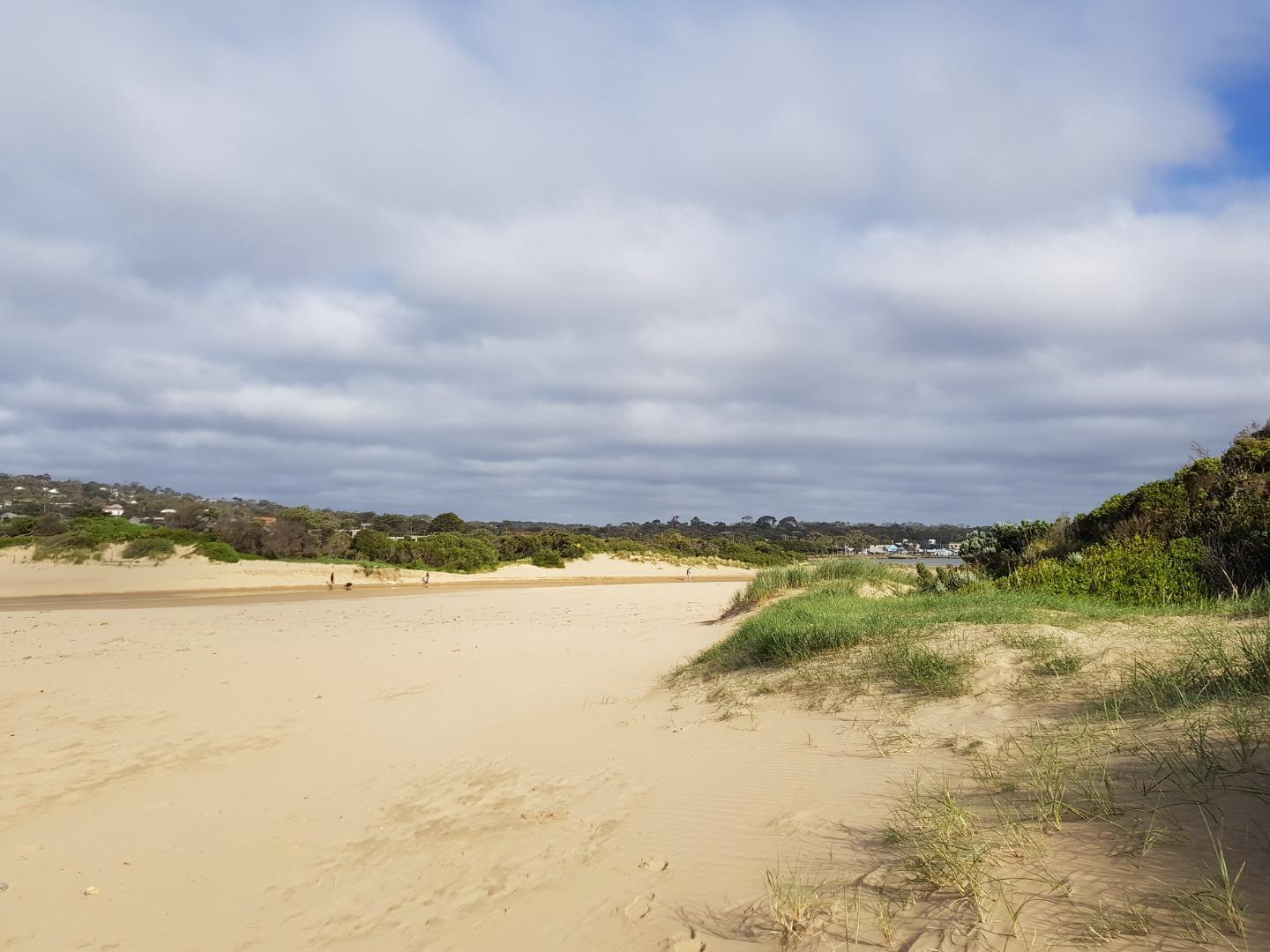
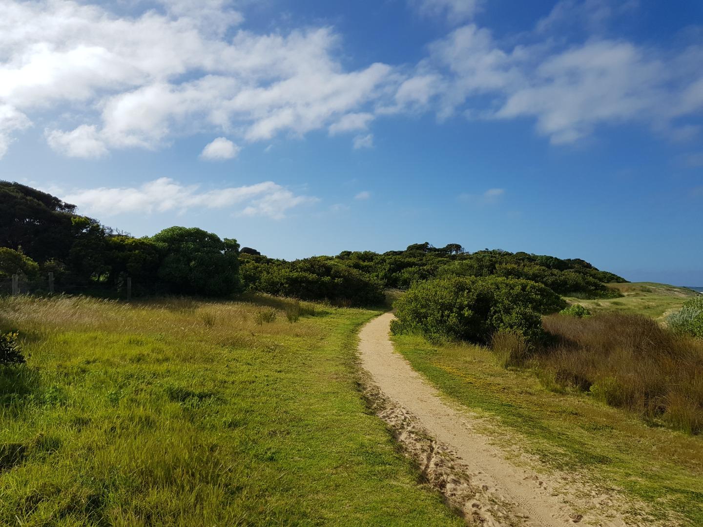
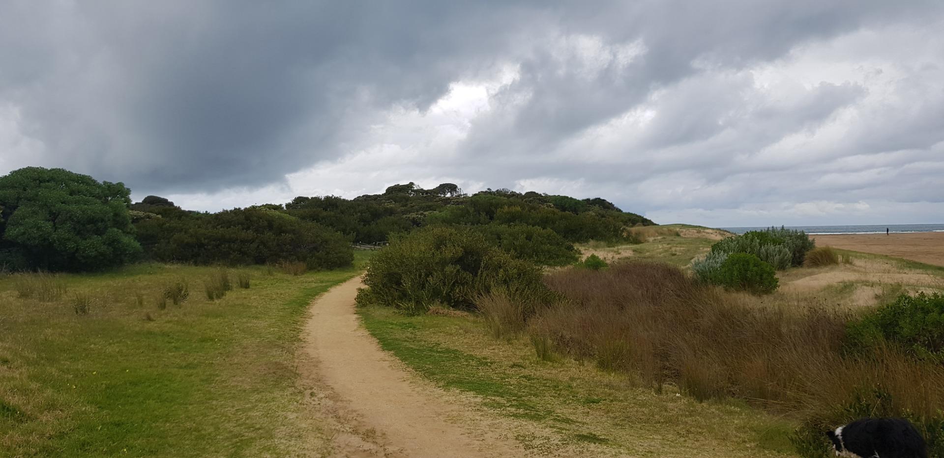
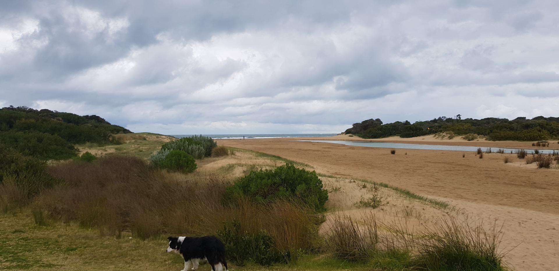
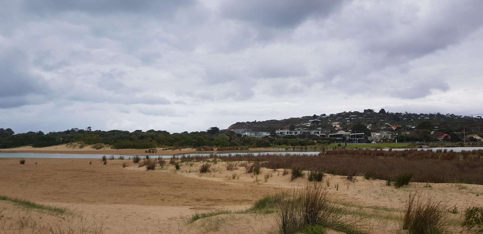
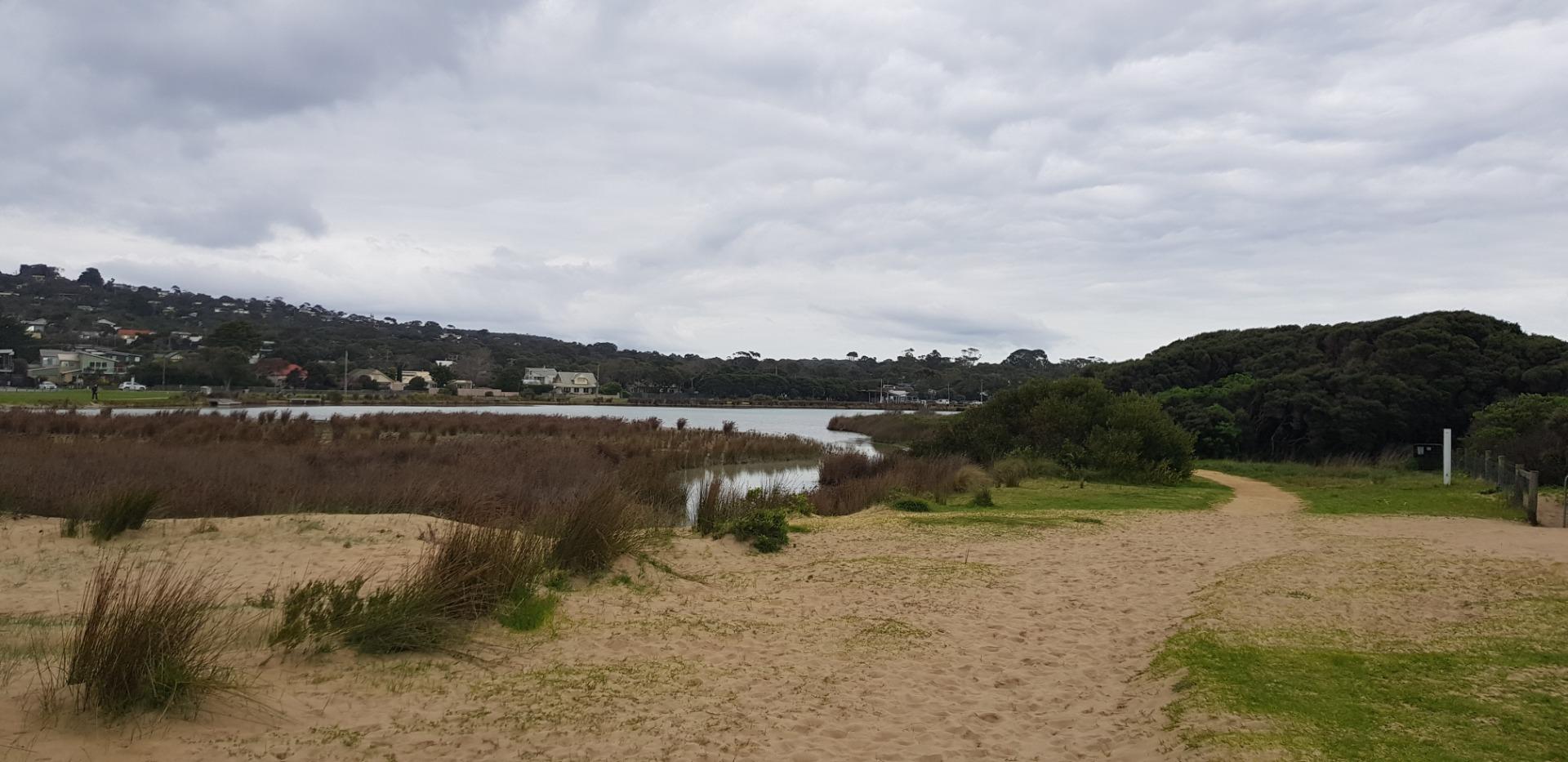
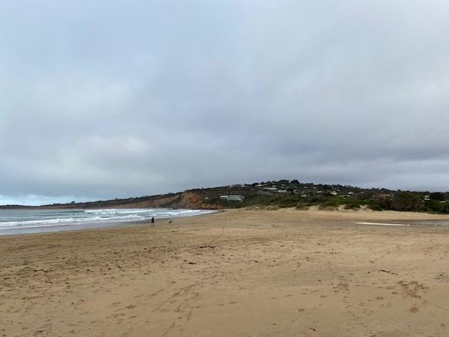
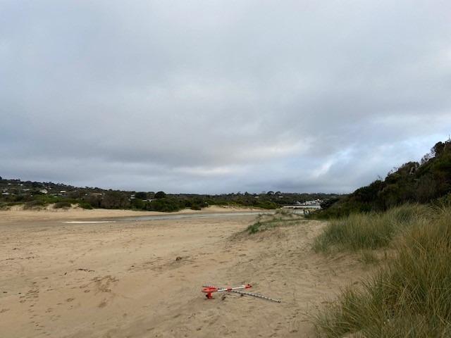
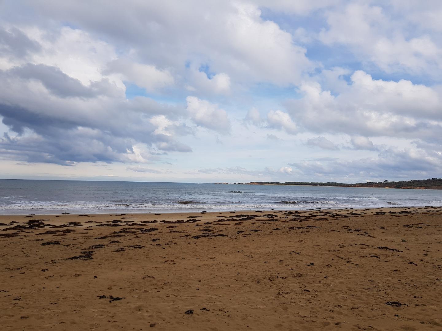
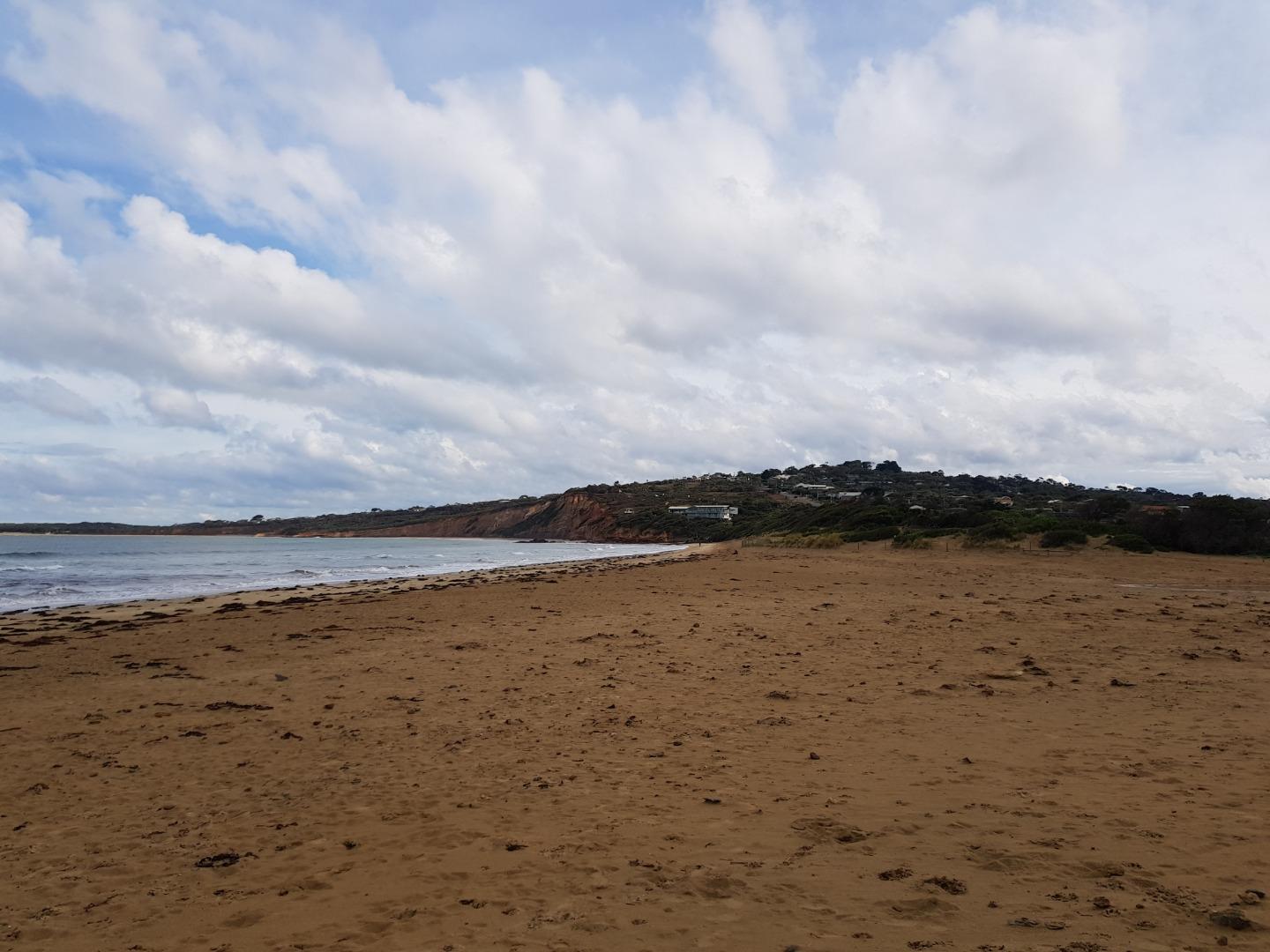
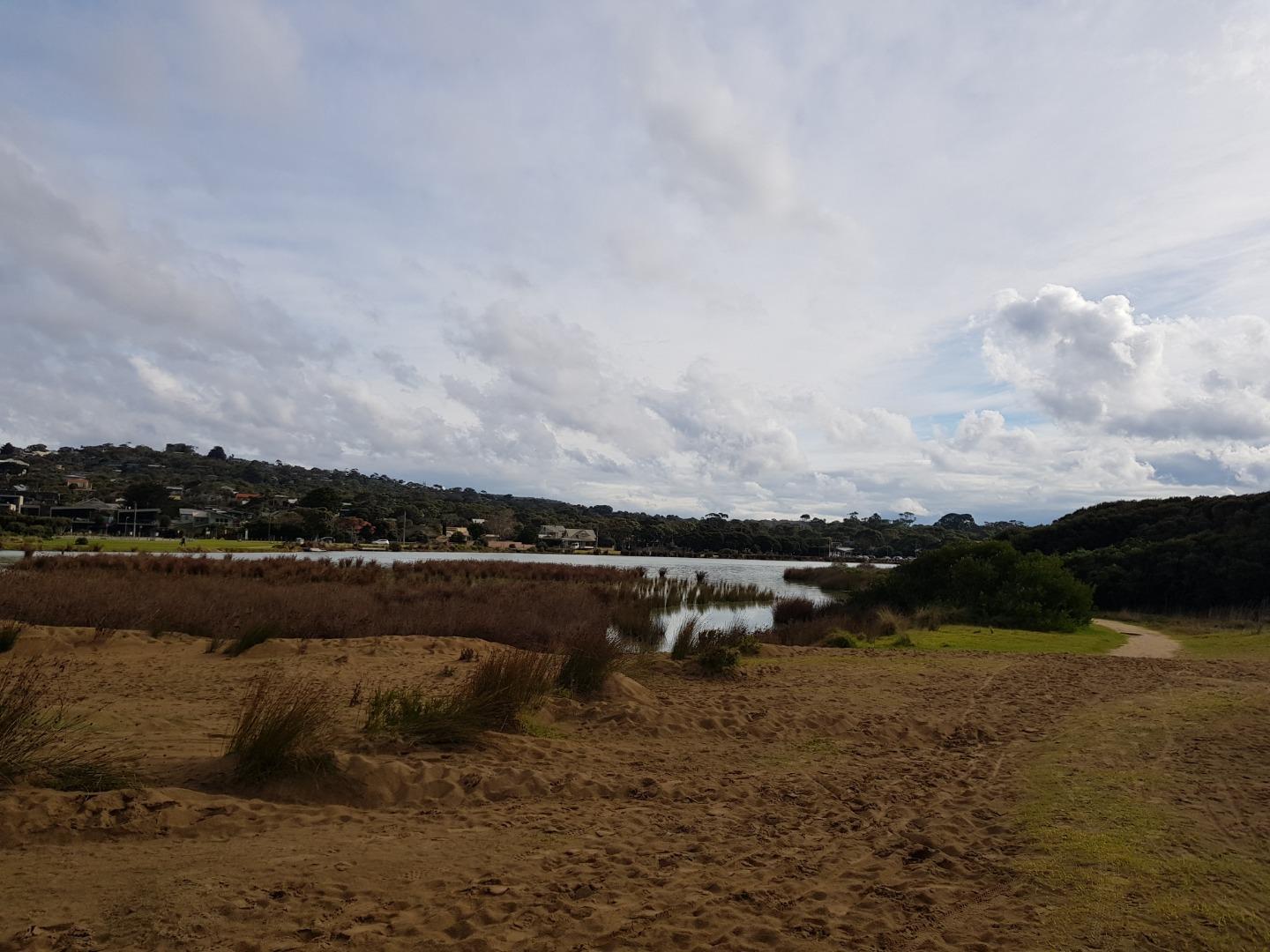
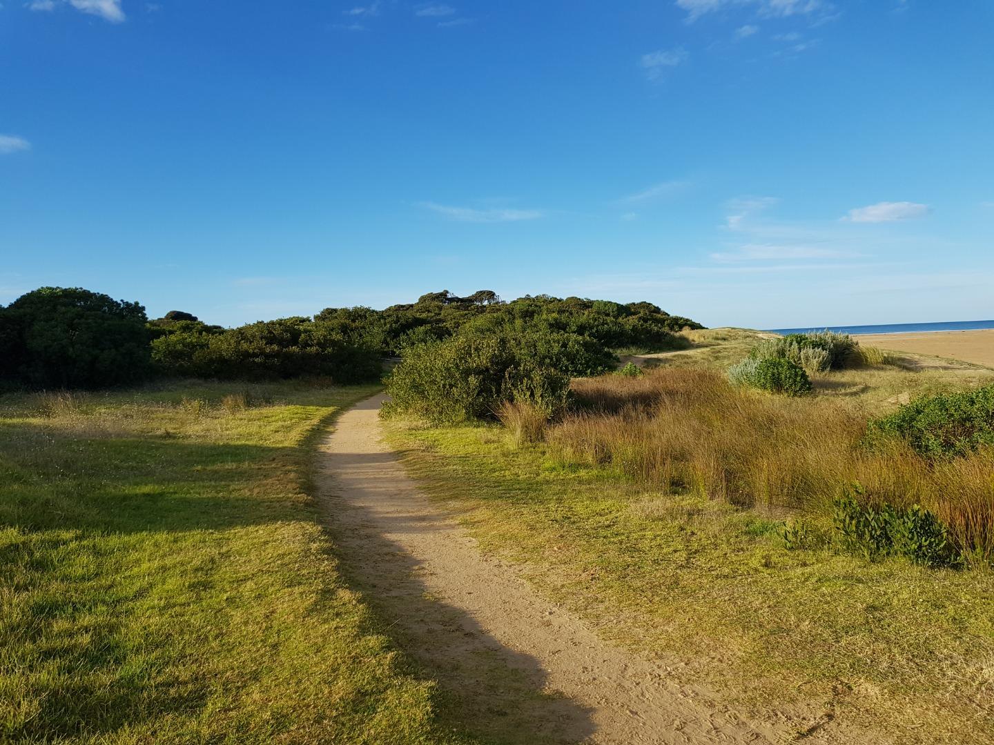
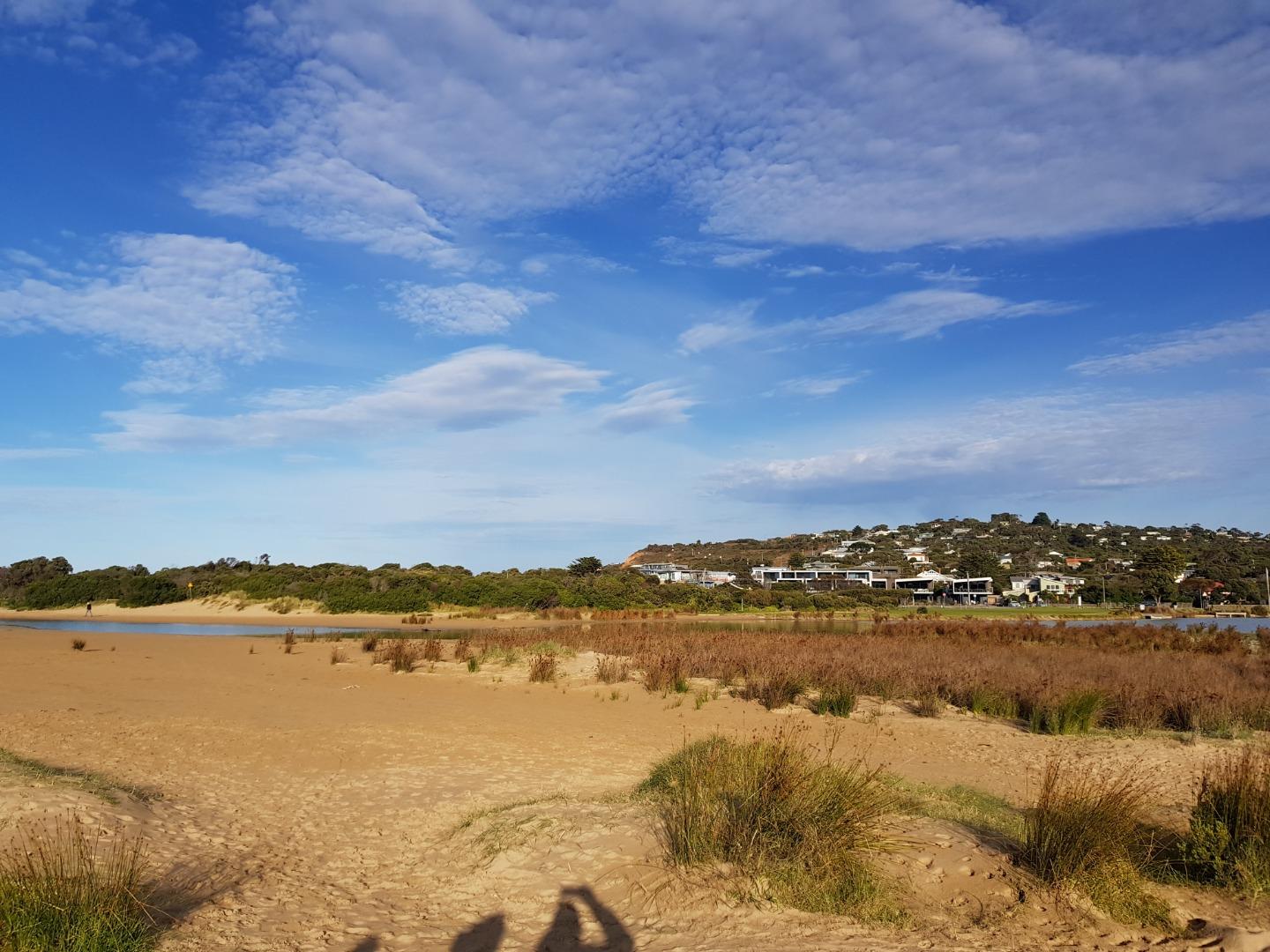
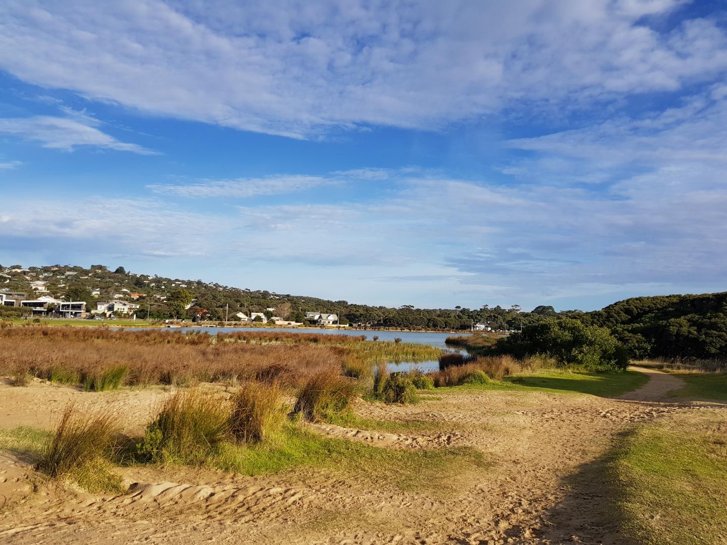
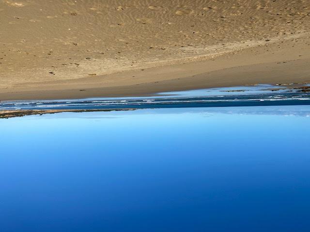
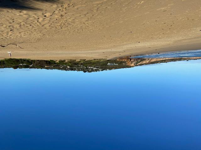
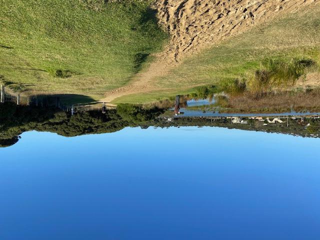
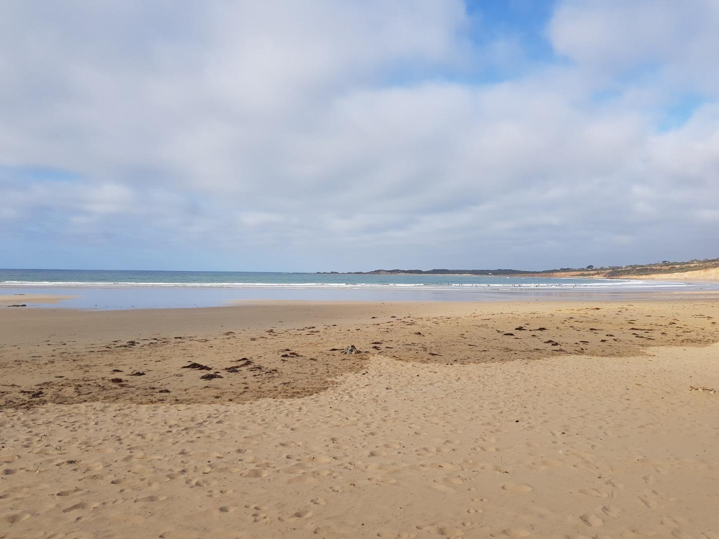
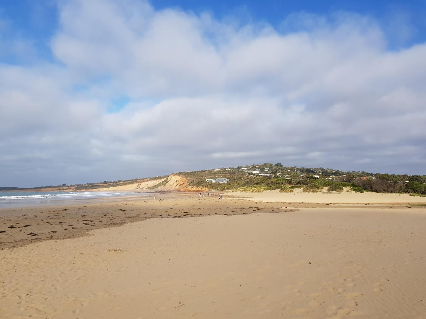
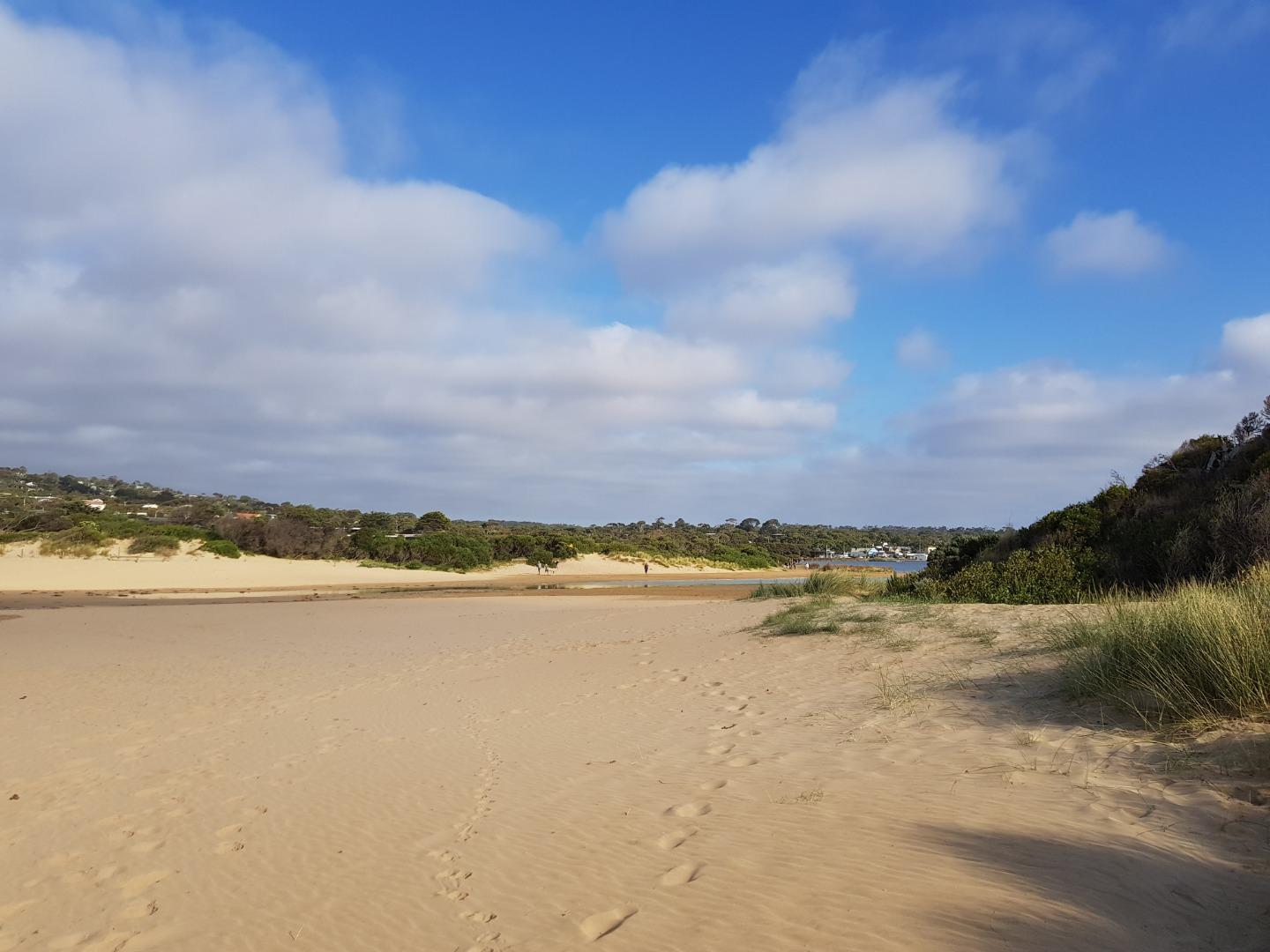
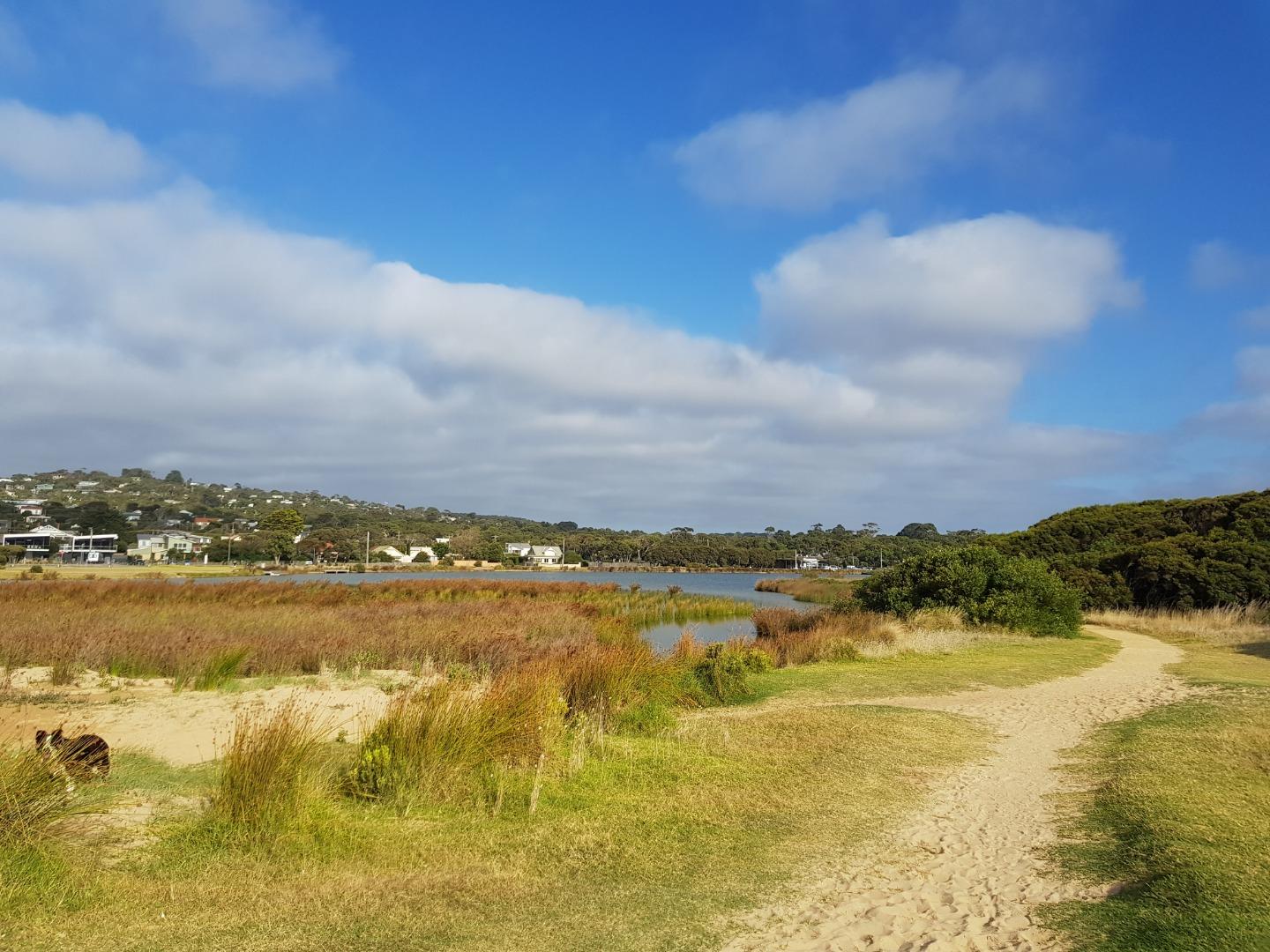
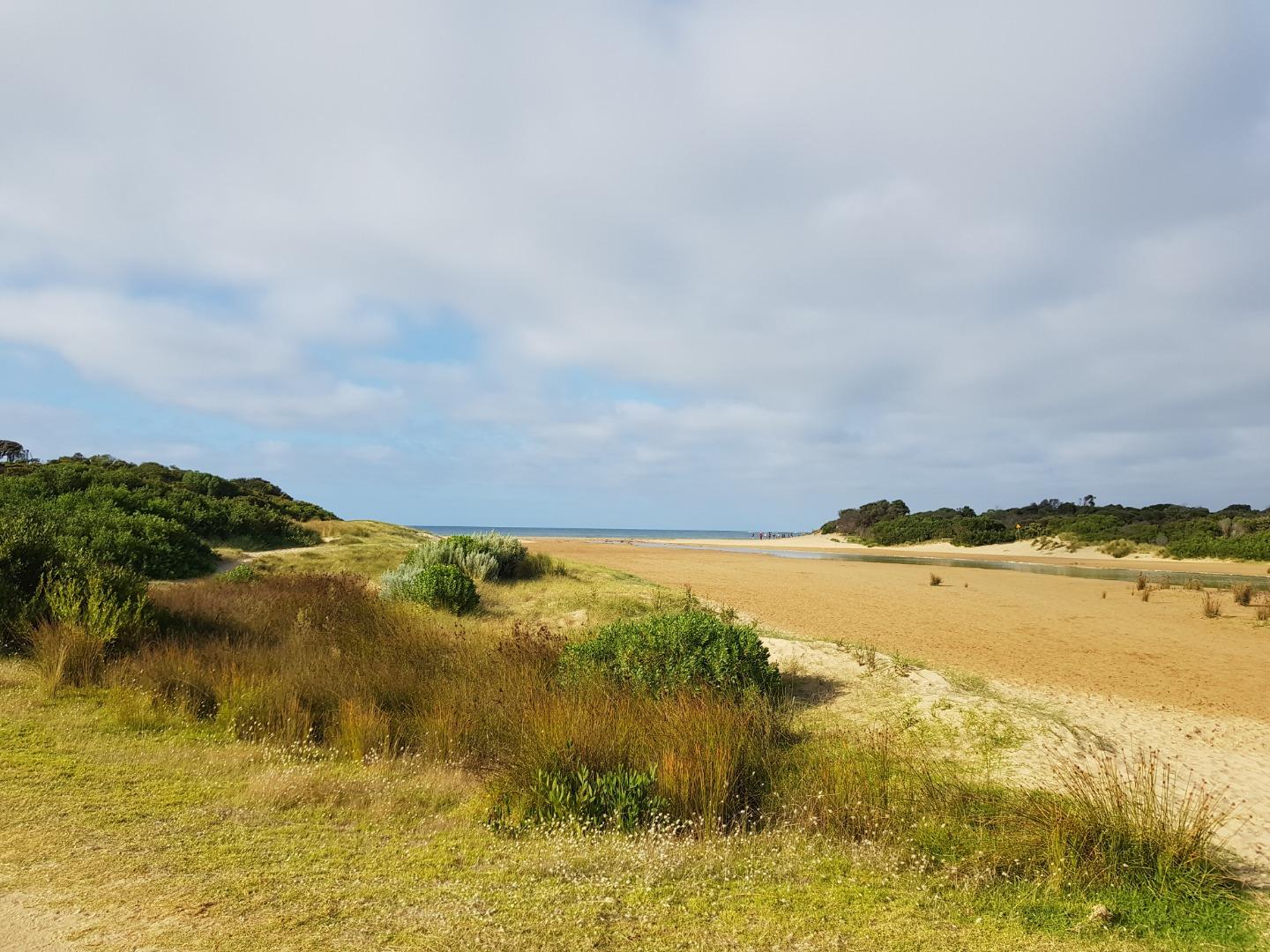
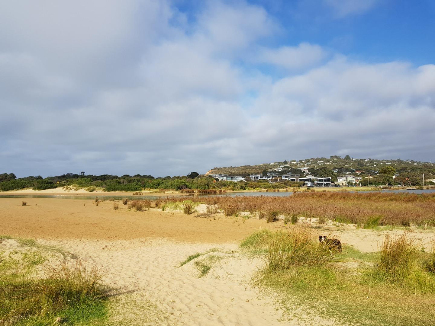
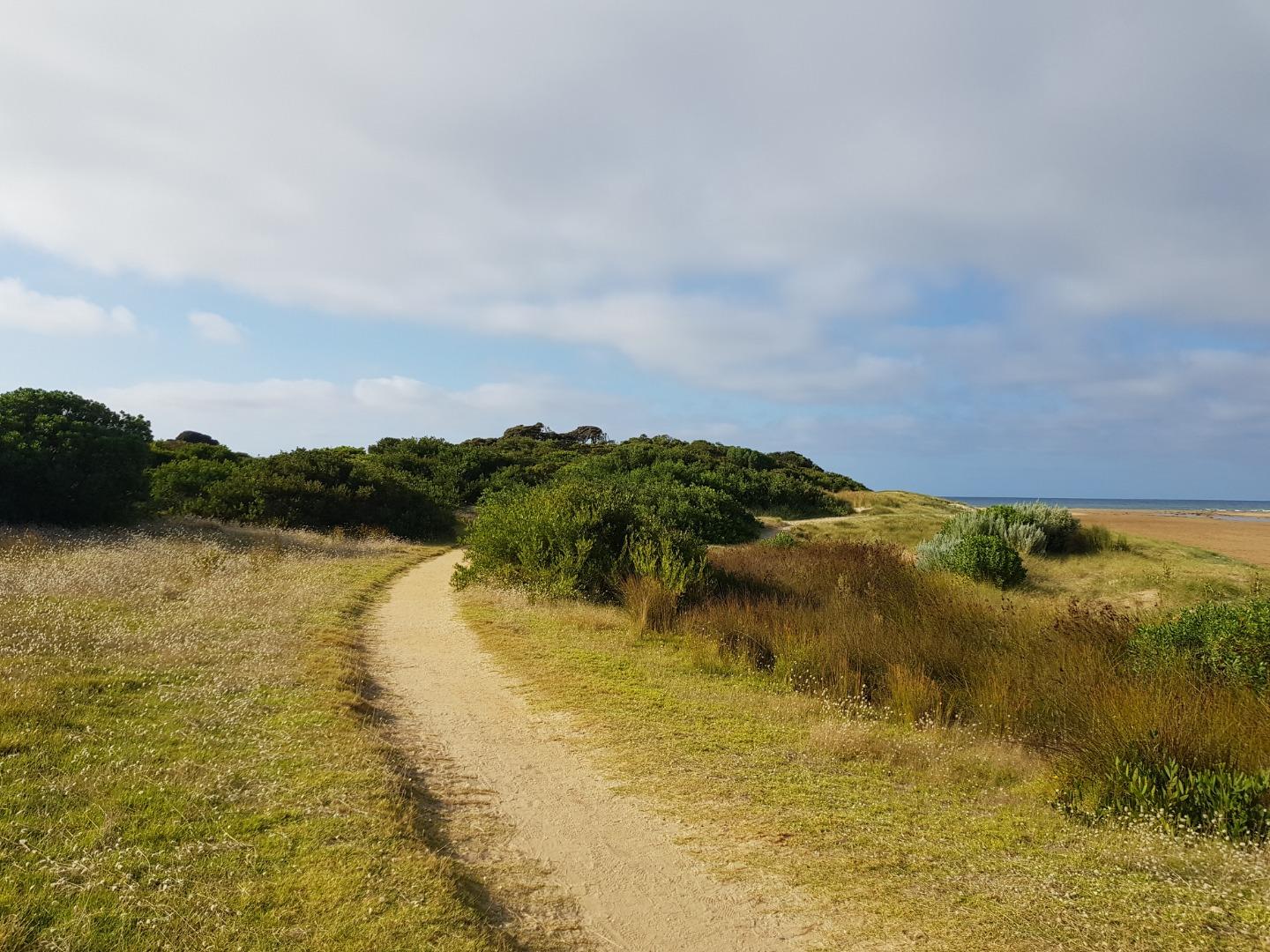
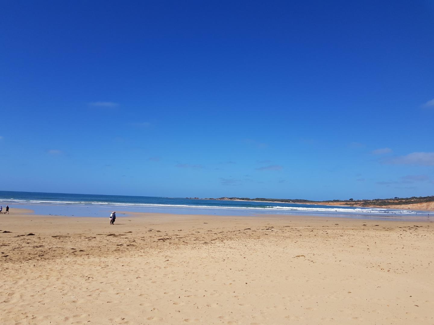
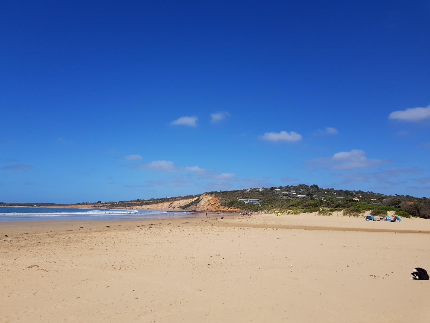
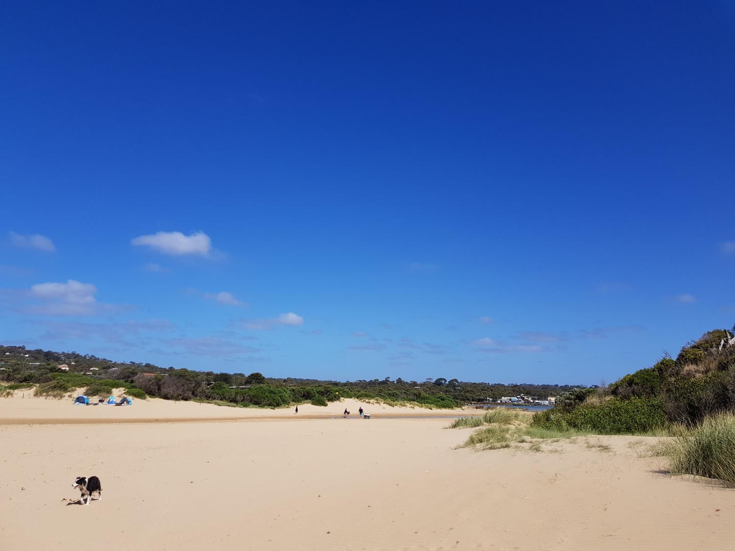
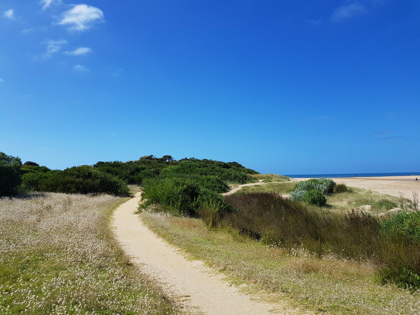
AMC Anglesea River Estuary Mouth Observation Site
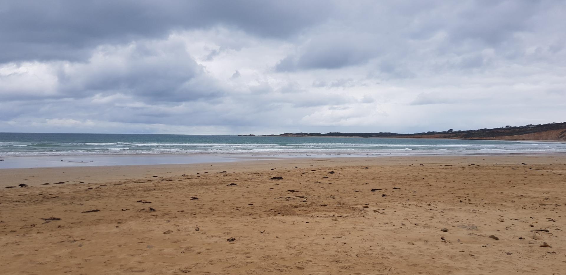
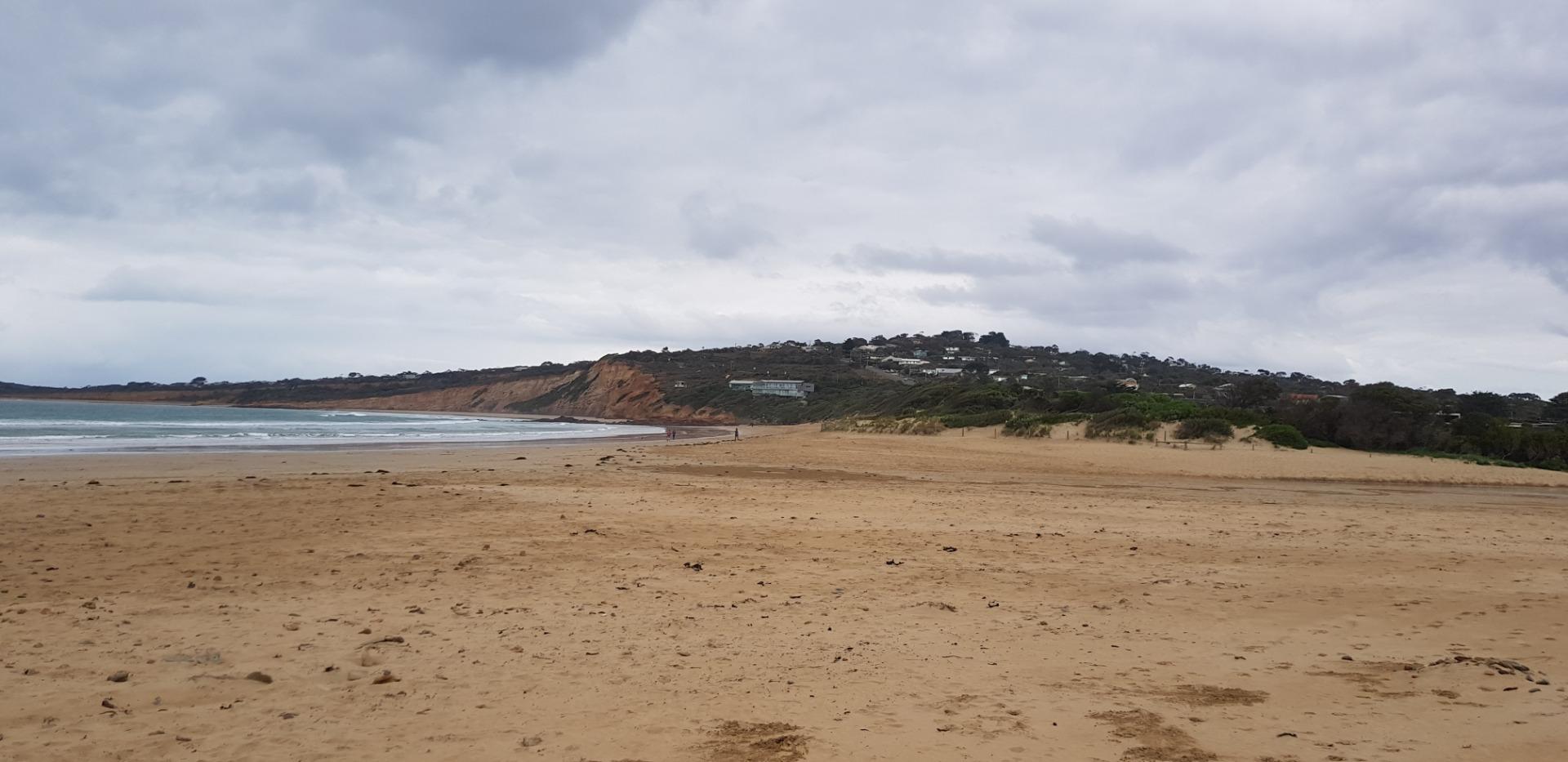
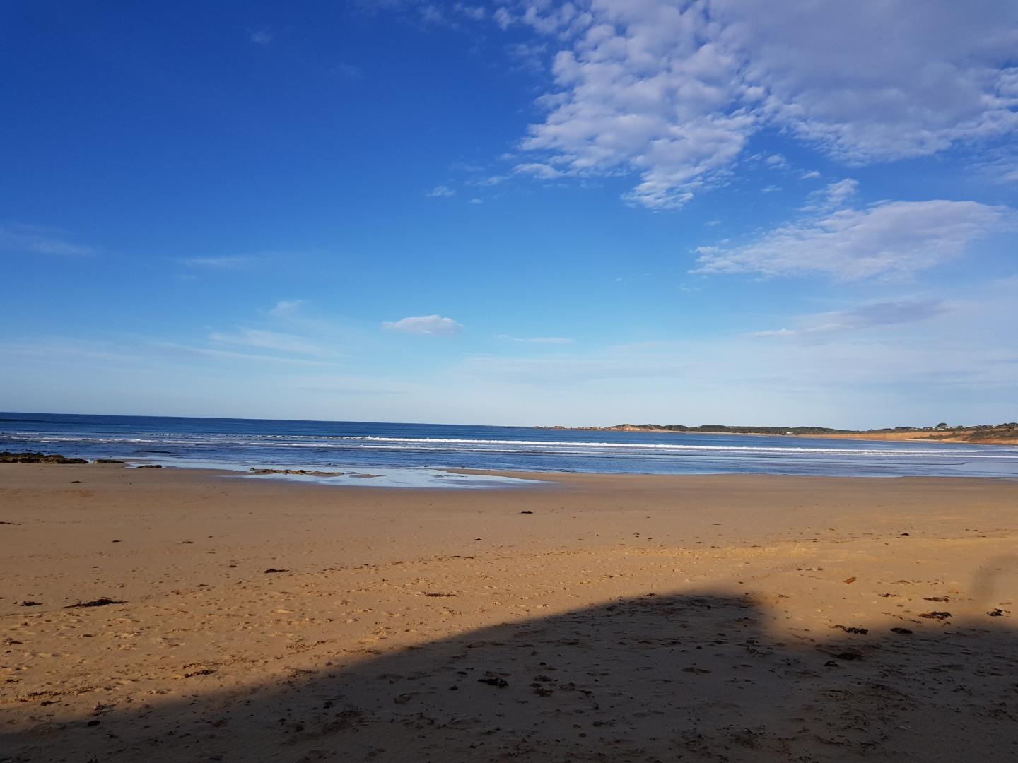
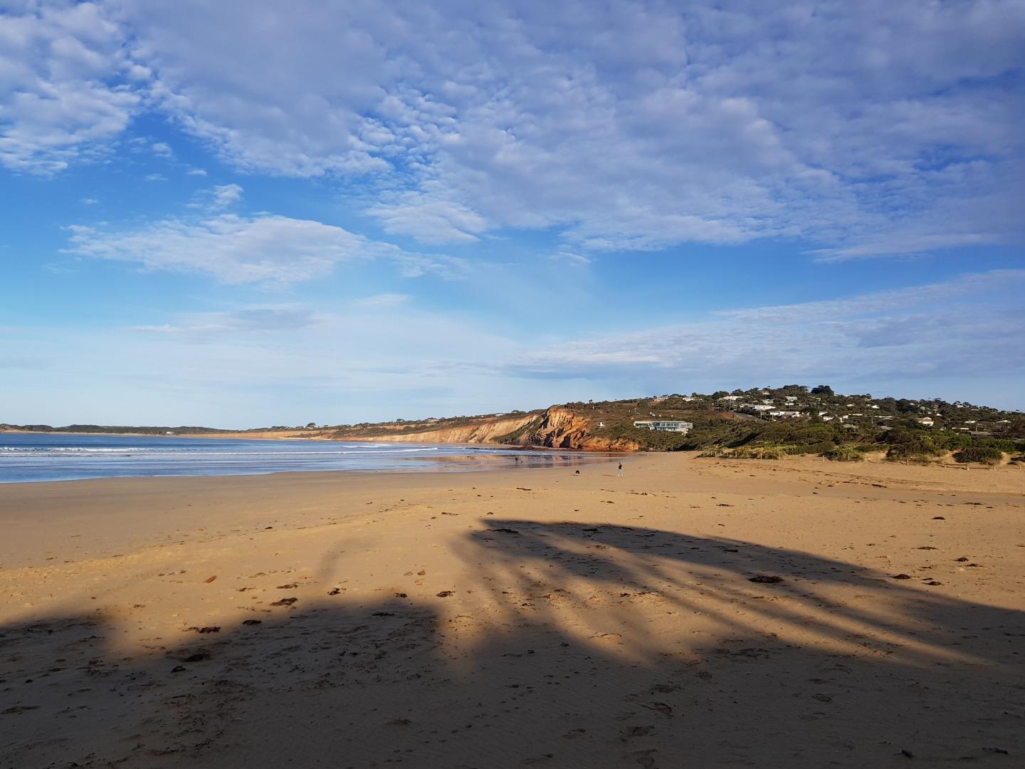
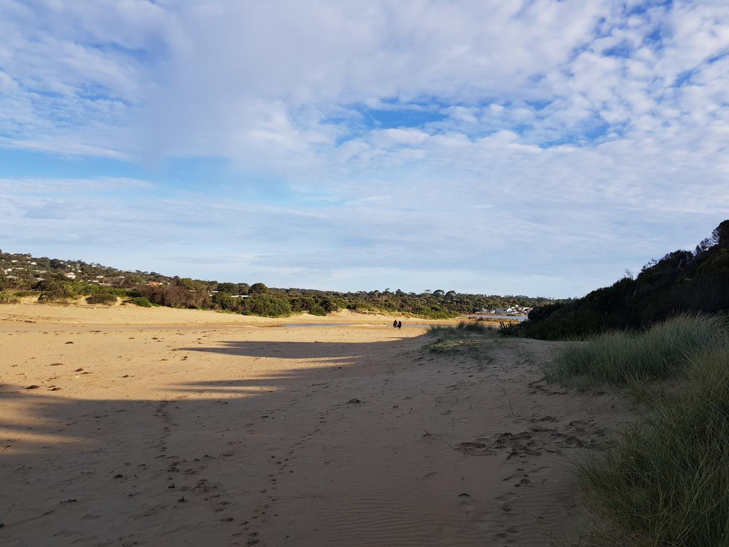
Active Mouth Condition 17-04-2007 - 15-05-2024Anglesea River Estuary
| ID | Date | Status | Details | |
|---|---|---|---|---|
| #14406 | 15 Dec 2021 | Approved |
Notes:
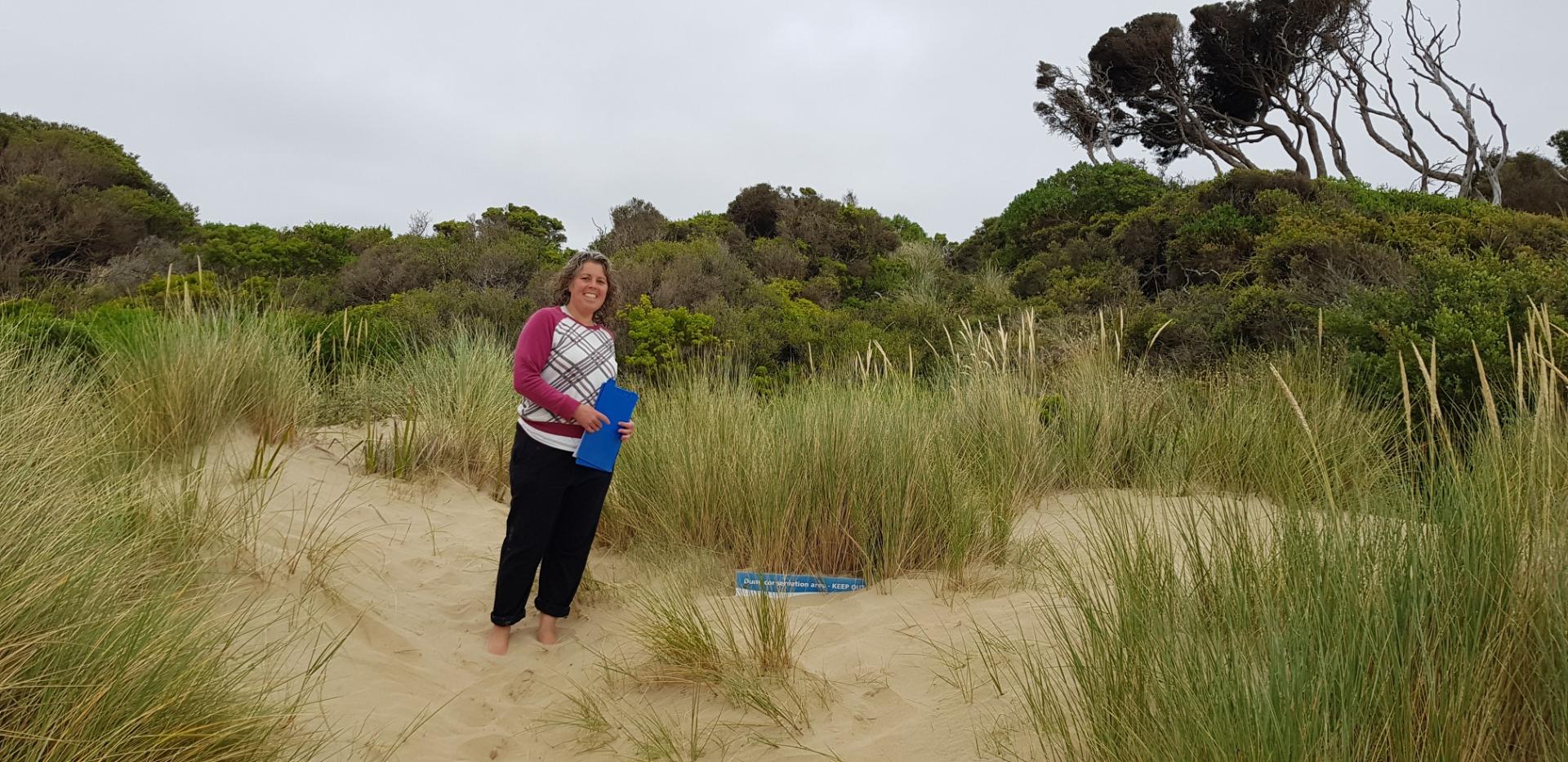
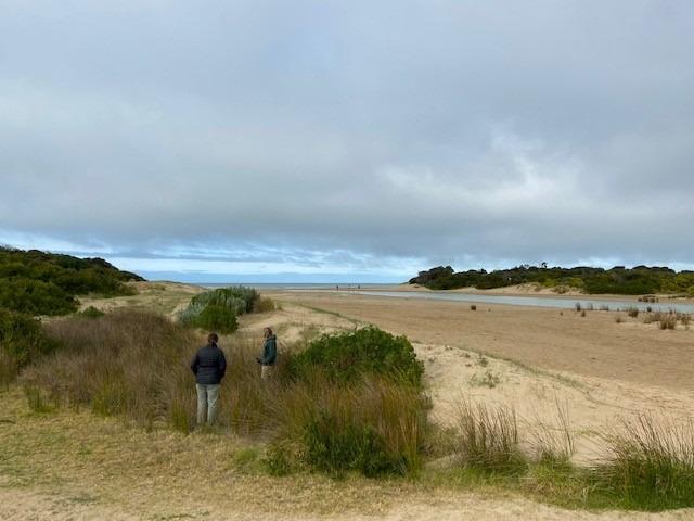
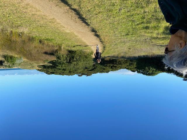
Assisted by Kim Byrne
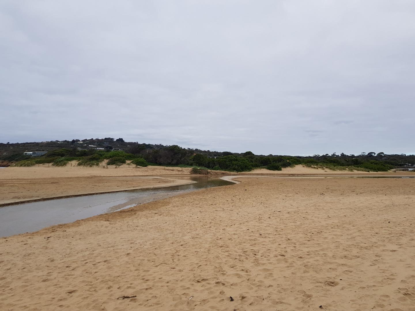
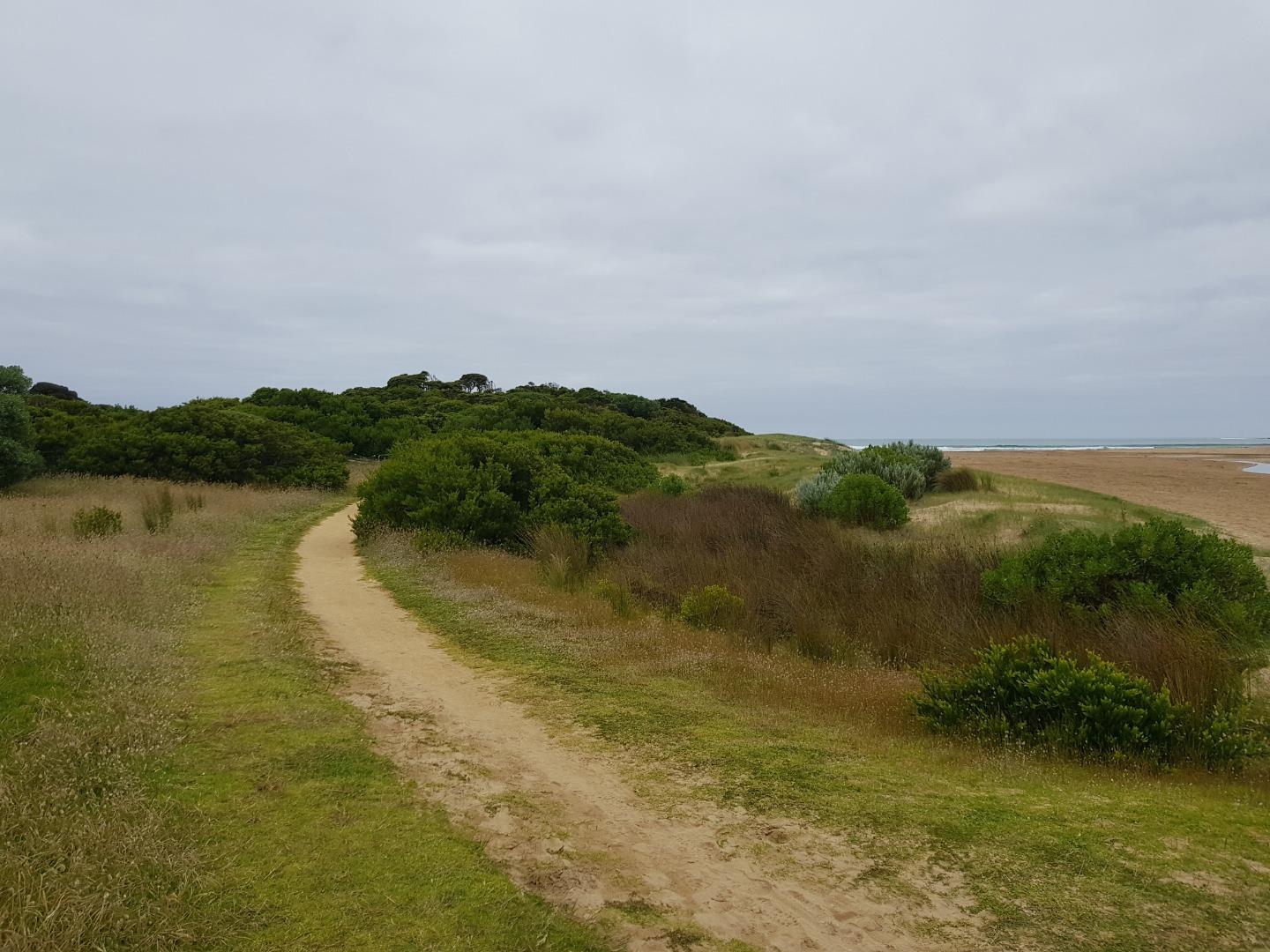
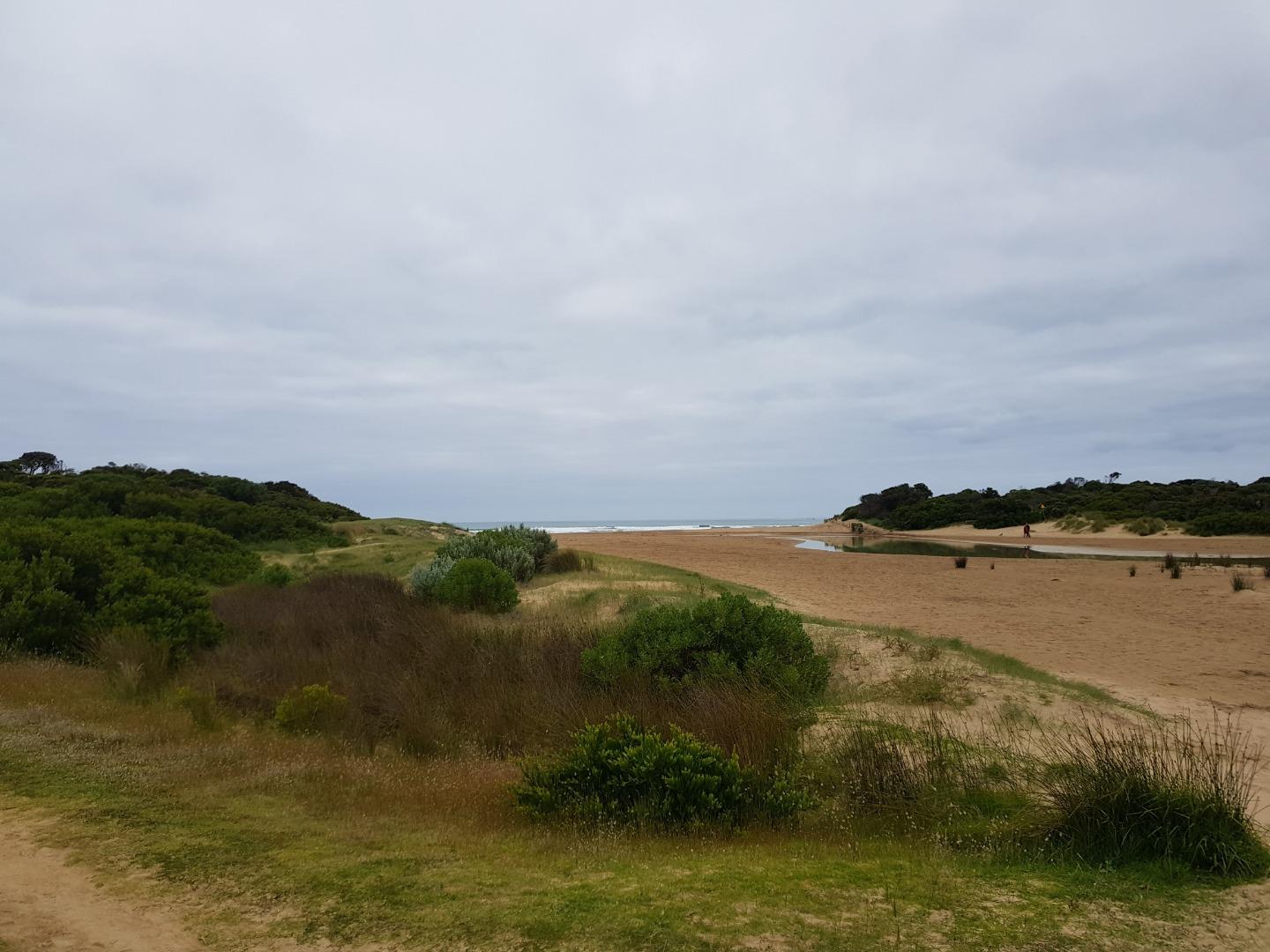
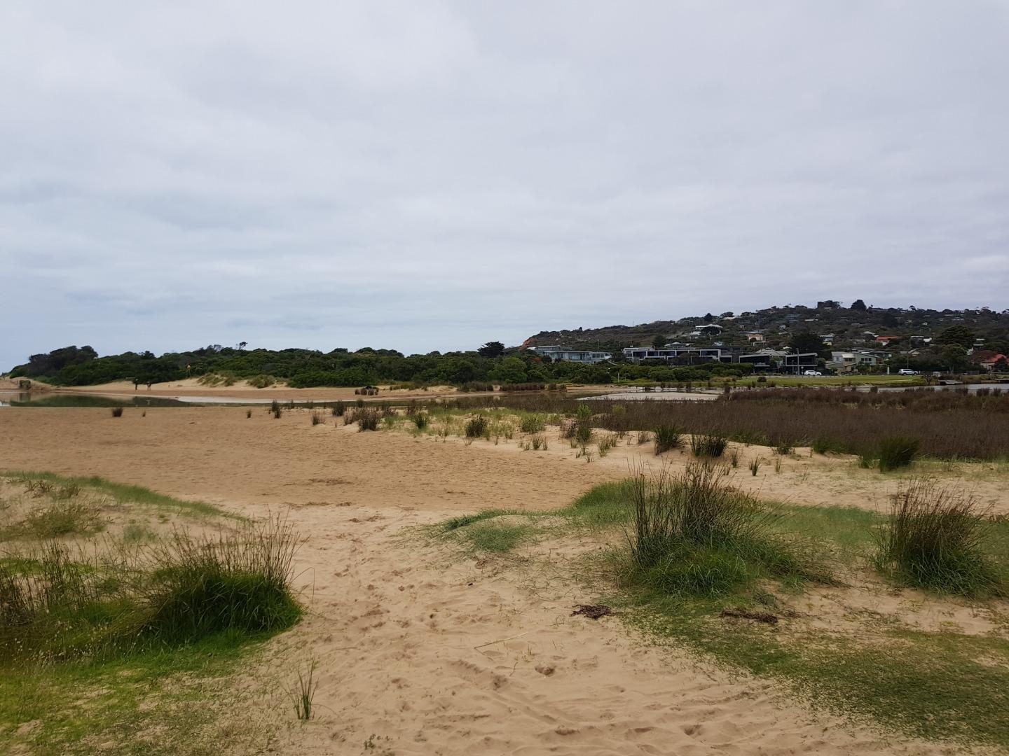
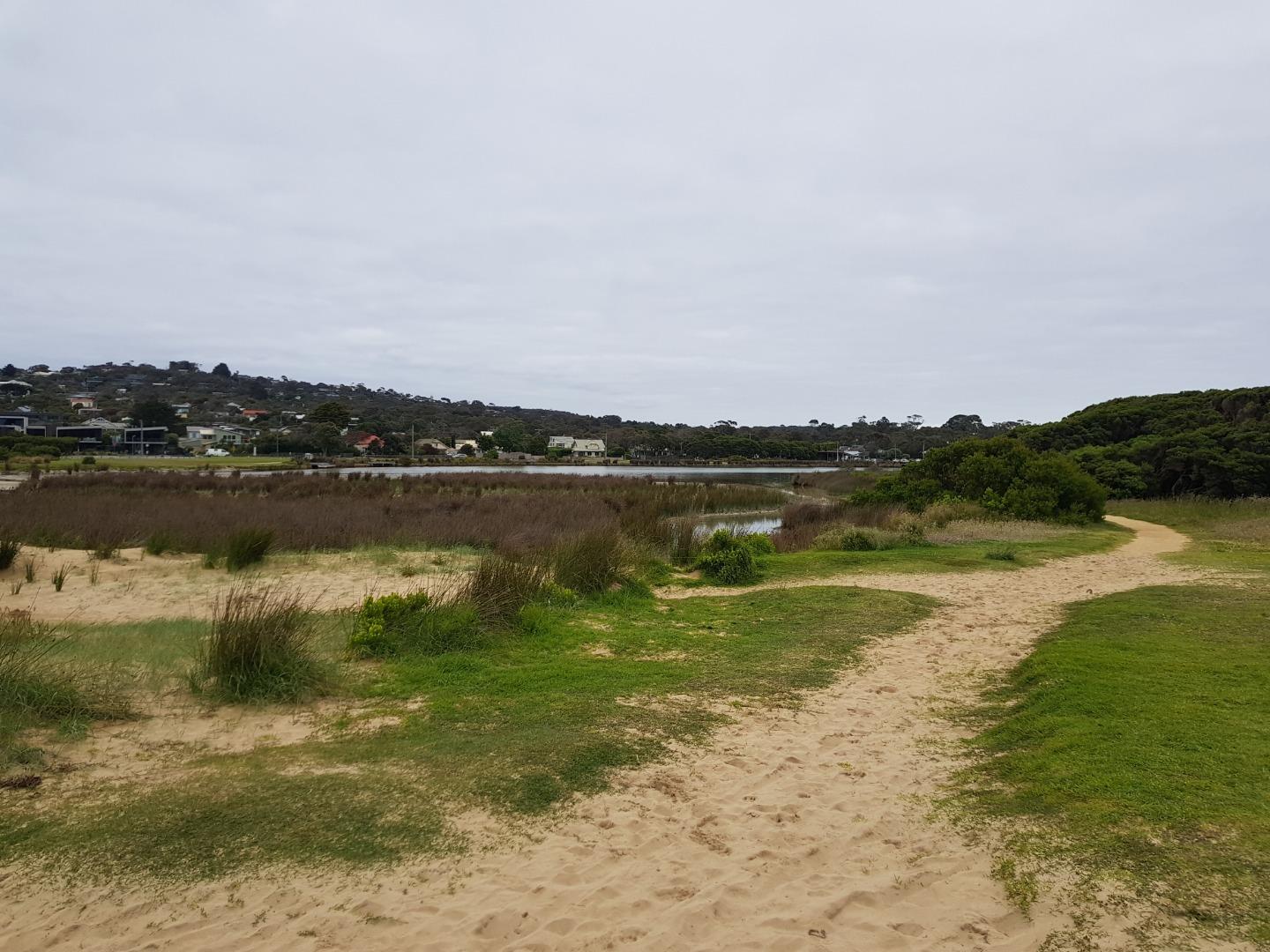
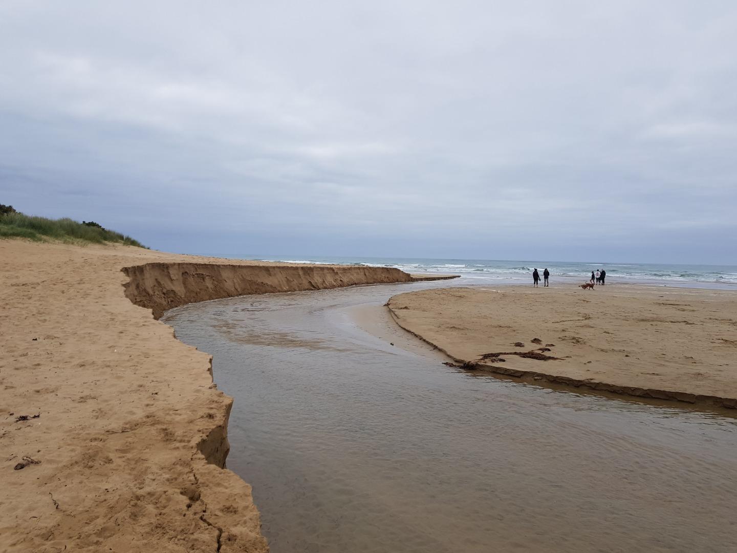
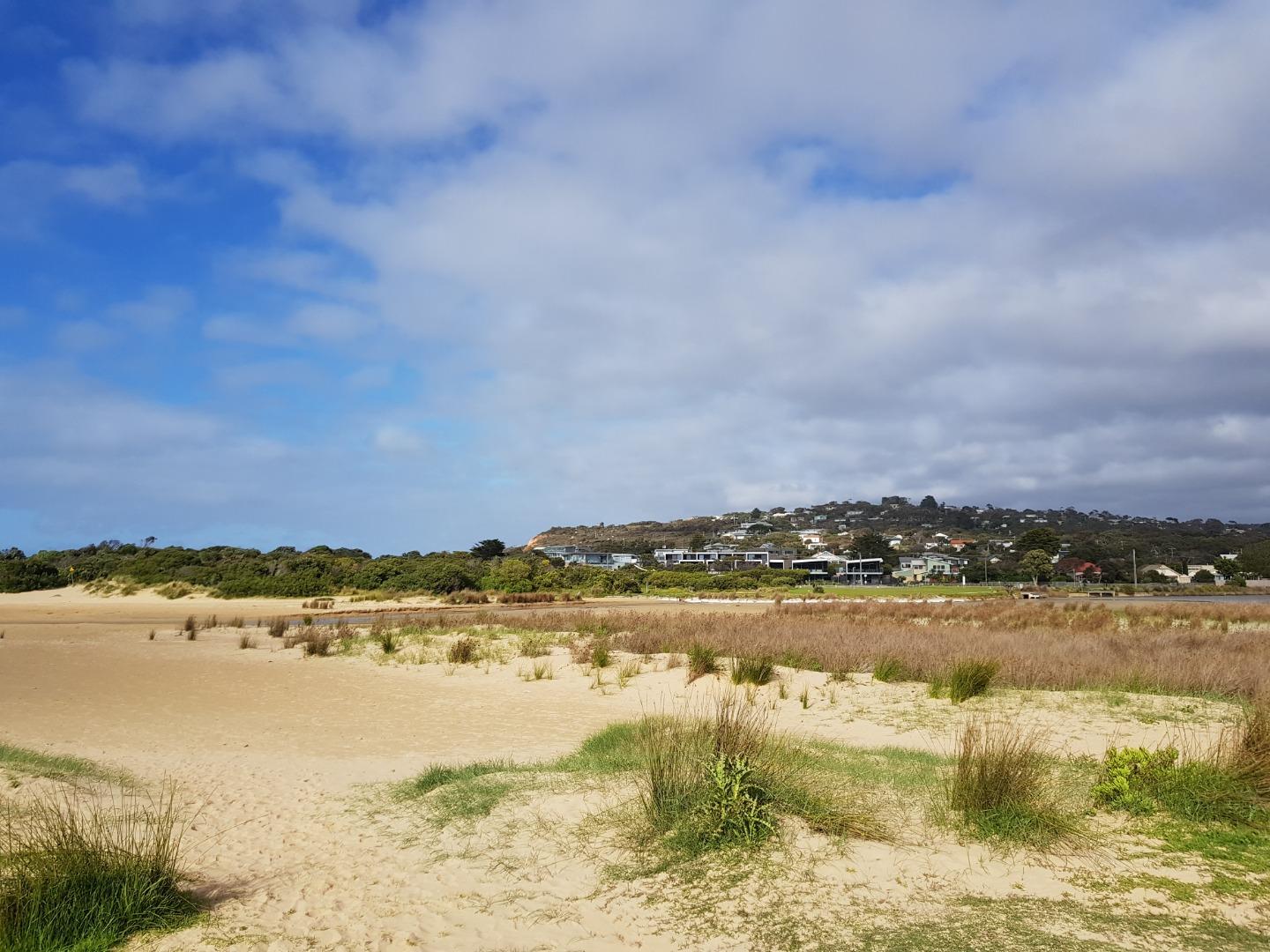
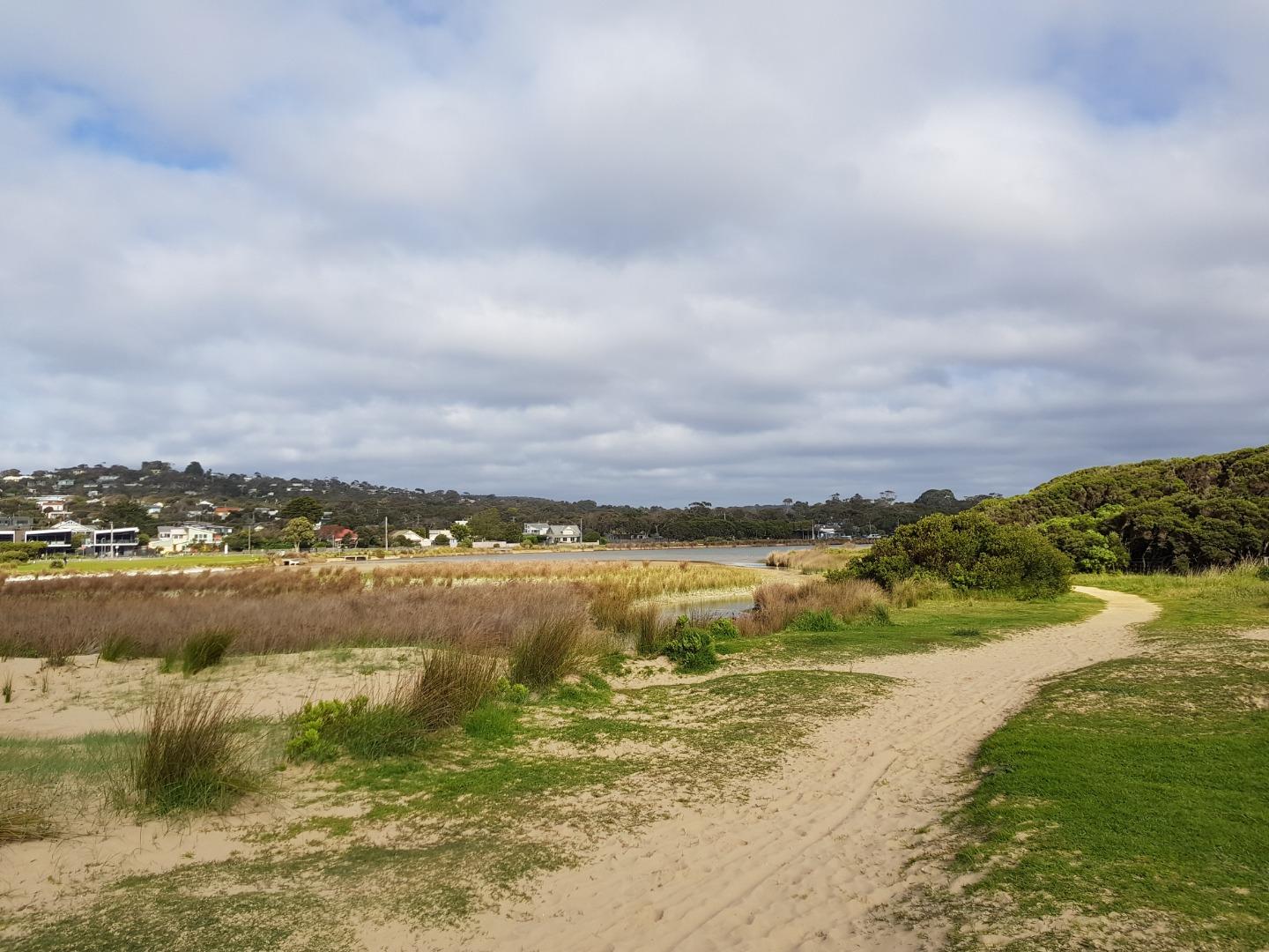
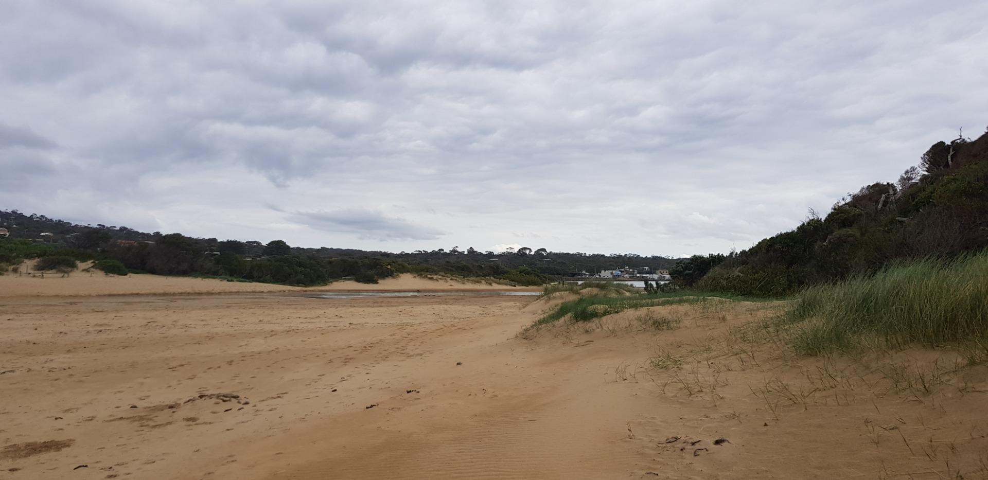
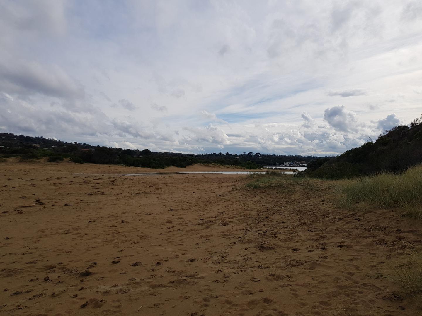
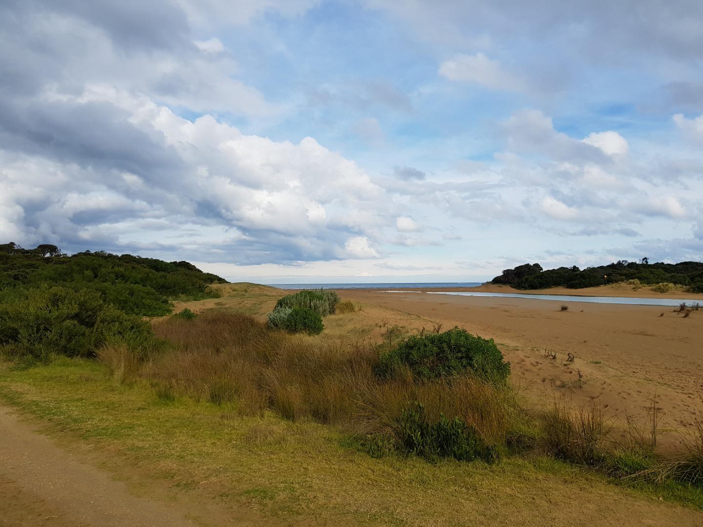
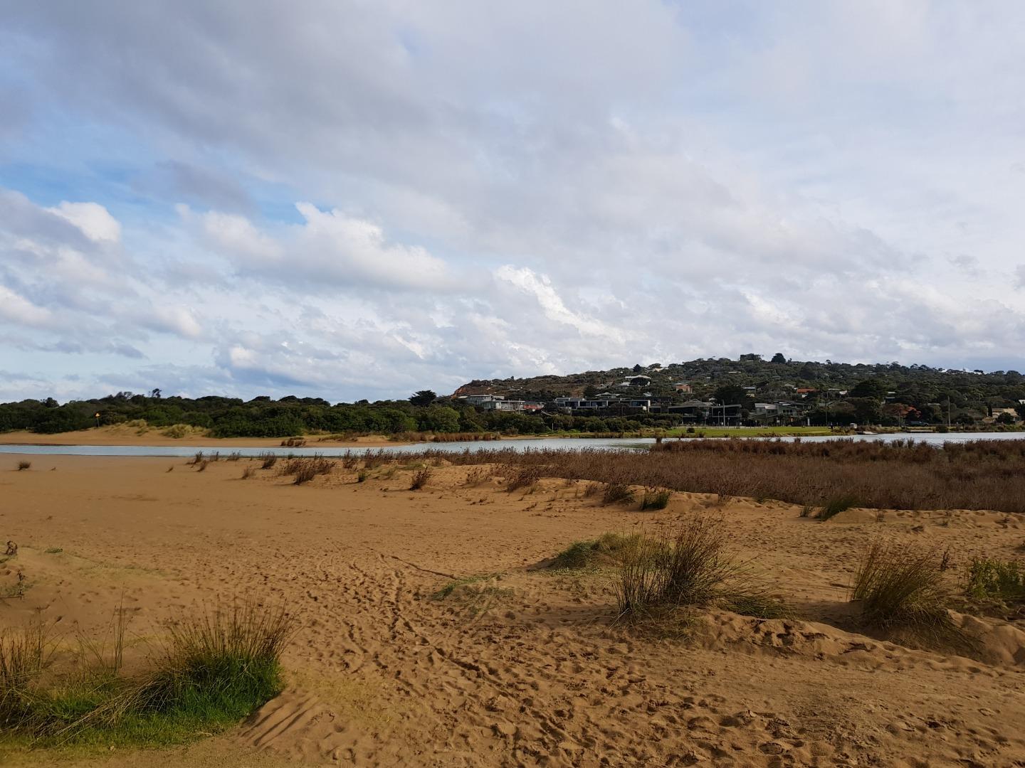
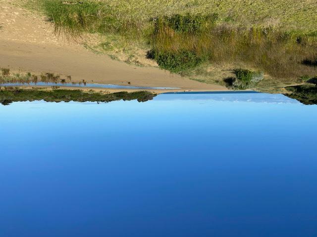
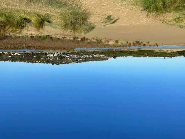
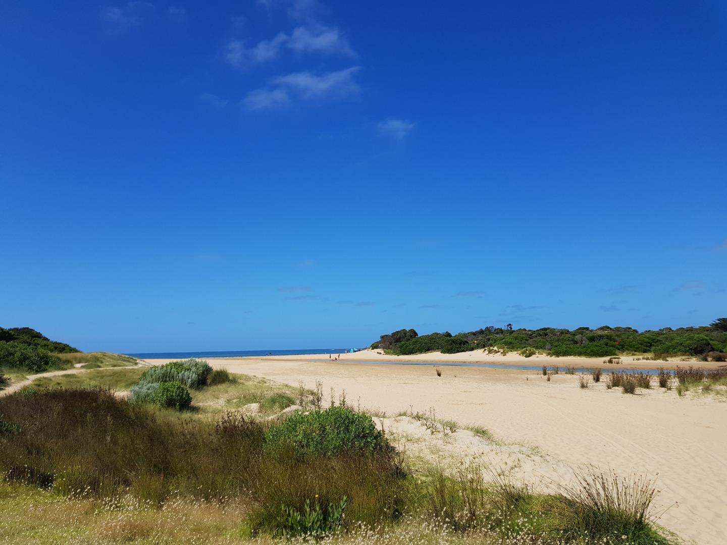
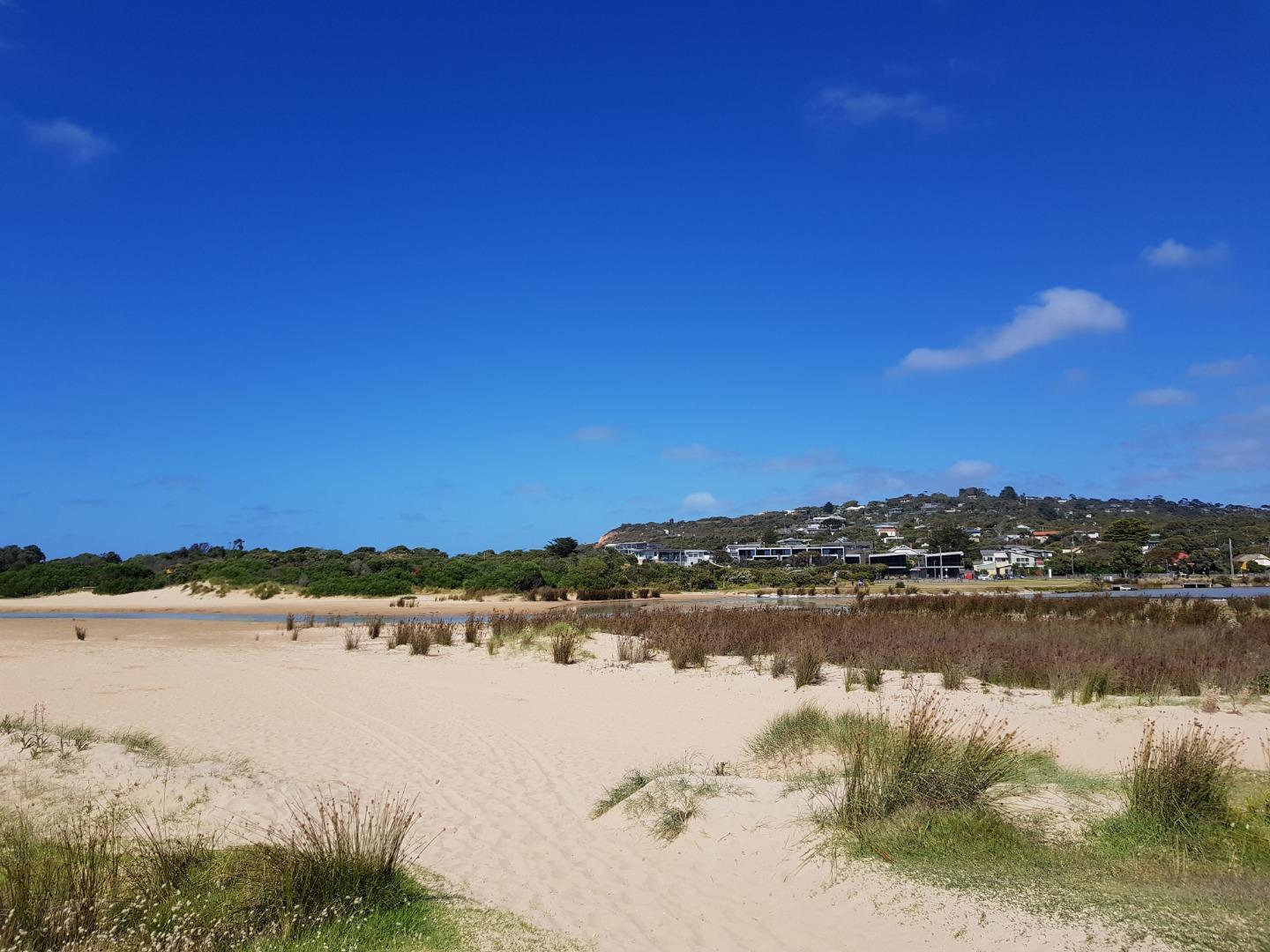
River has changed direction/Shape near mouth Great deal of white floc deposited on river bottom Photopoint AP1 has changed Sign is nearly buried and dune has been eaten away See photo |
|
| #14360 | 17 Nov 2021 | Pending |
Notes:
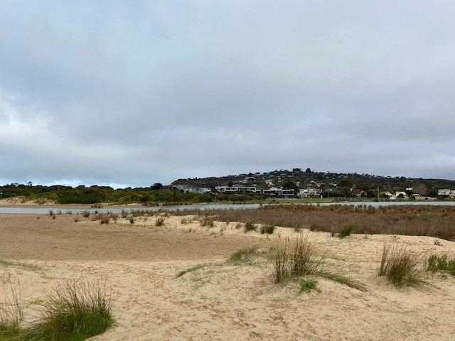
Note Altered course of river with cutaway of dune on eastern bank See photo |
|
| #14328 | 20 Oct 2021 | Pending |
Notes:
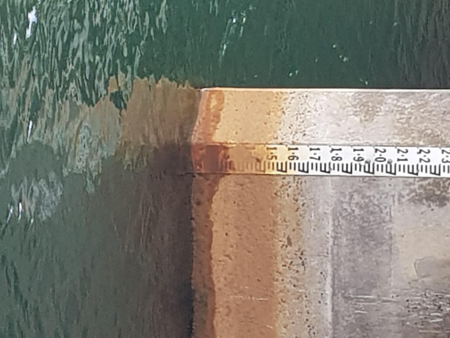
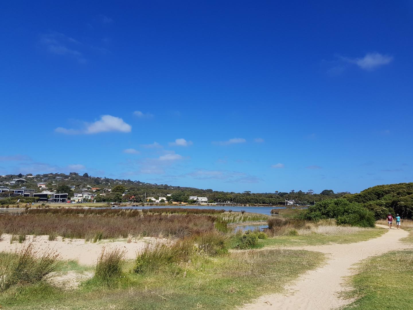
AHD Scale at bridge dirty, virtually unreadable at these low levels |
|
| #14297 | 15 Sep 2021 | Pending |
Notes:
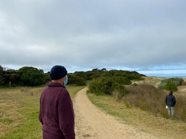
Ably assisted by Kim Byrne and Coco Used Williweather tides for Anglesea Beach as in previous instances. Note that Williweather tides use Pt Lonsdale values but time corrected for Anglesea Longitude. This is completely different to Lorne nos |
|
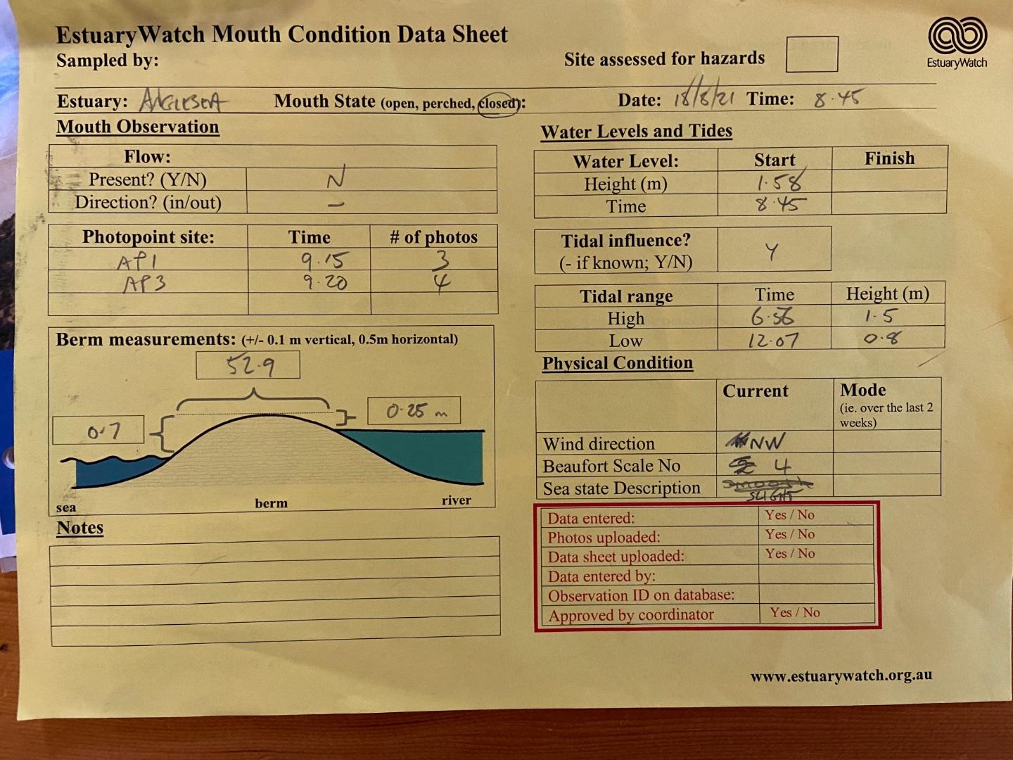
| #14257 | 18 Aug 2021 | Approved | ||
| #14172 | 16 Jun 2021 | Pending | ||
| #14136 | 19 May 2021 | Approved |
Notes:
Assisted by Rebecca Ecologic |
|
| #14093 | 21 Apr 2021 | Approved | ||
| #14012 | 17 Mar 2021 | Approved | ||
| #13951 | 20 Jan 2021 | Approved |
Notes:
Assisted by marg and Rob |
|


All content, files, data and images provided by the EstuaryWatch Data Portal and Gallery are subject to a Creative Commons Attribution License
Content is made available to be used in any way, and should always attribute EstuaryWatch and www.estuarywatch.org.au