EstuaryWatch Data Portal
WyMC Wye River Mouth Condition
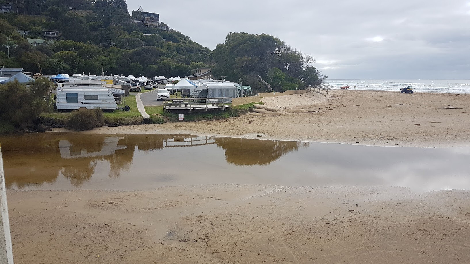
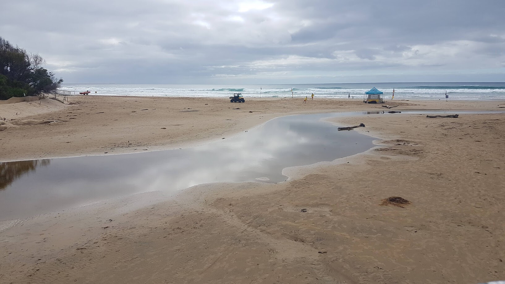
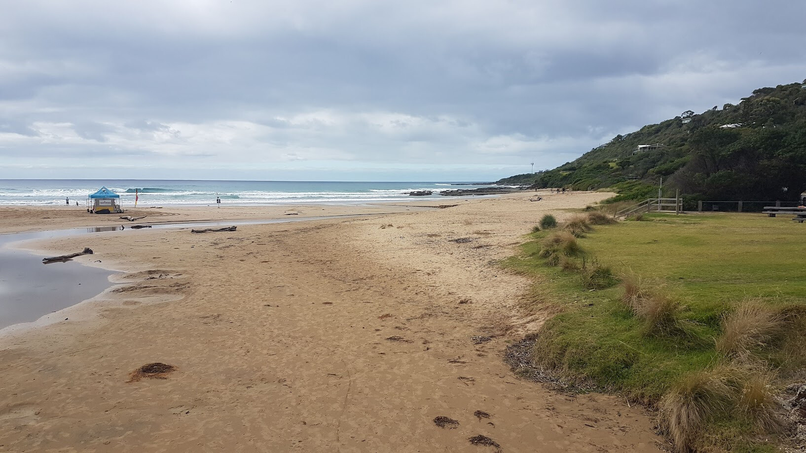
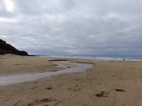
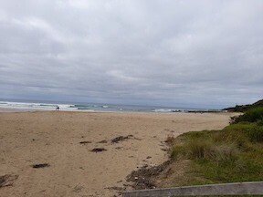
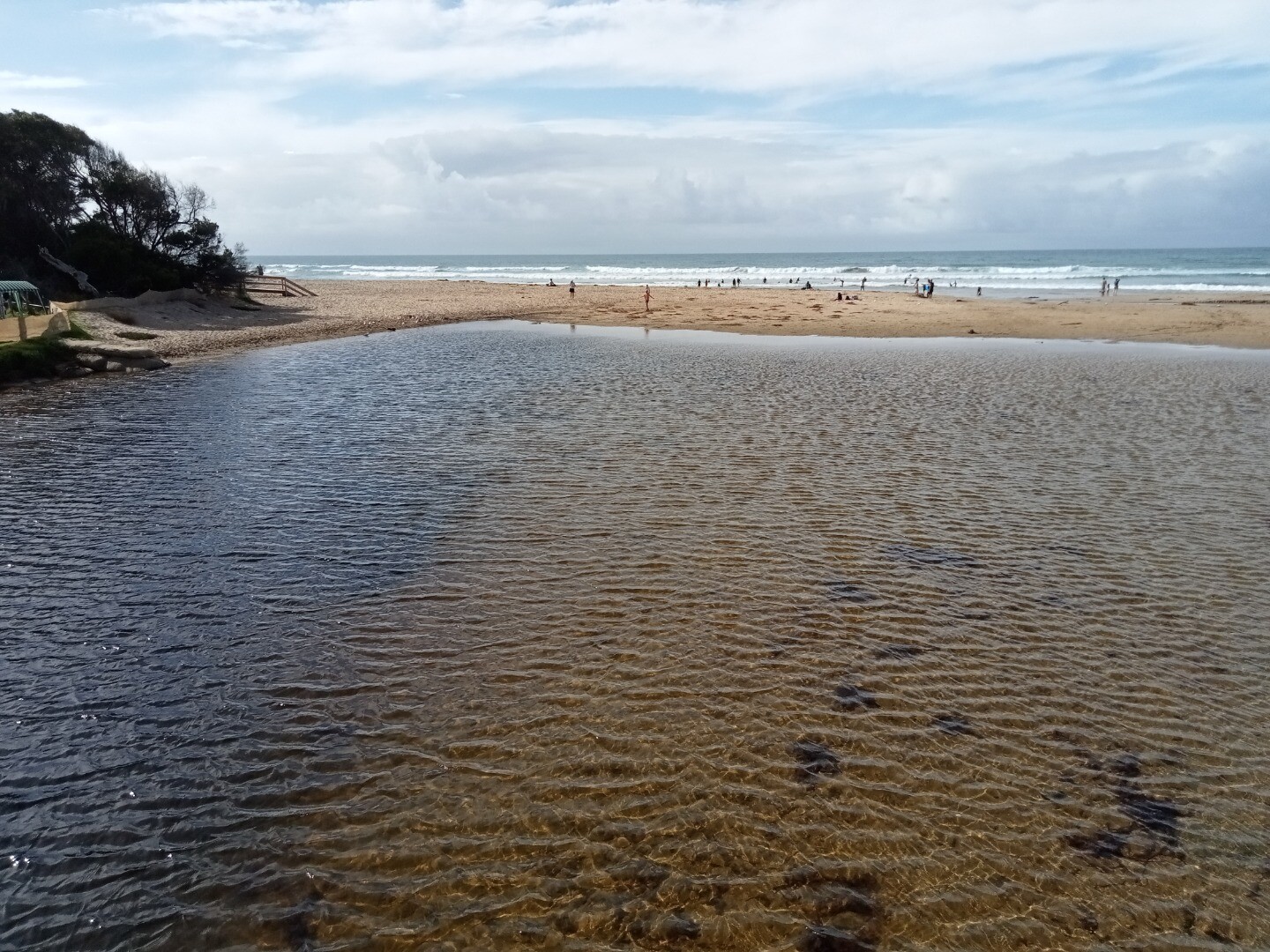
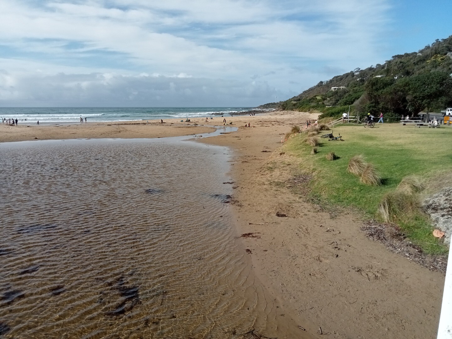
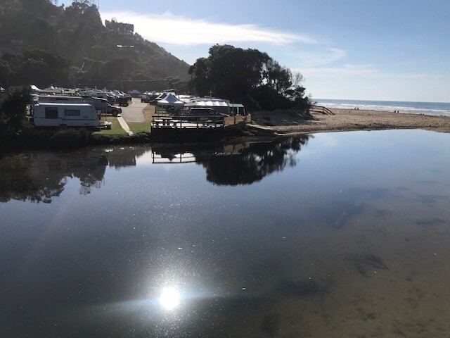
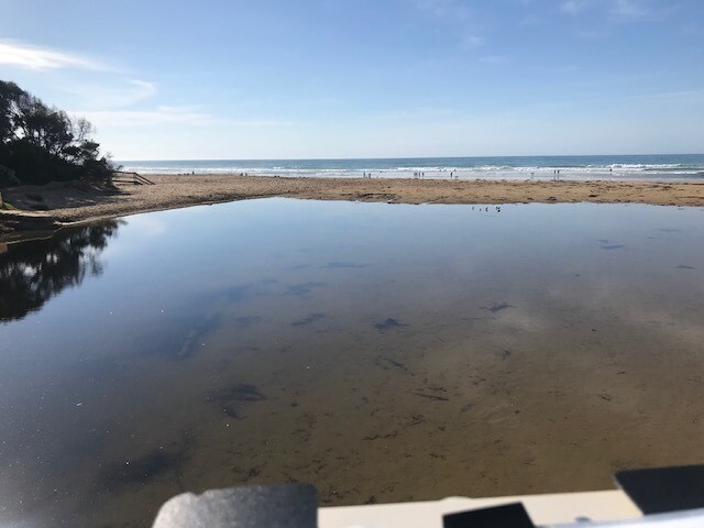
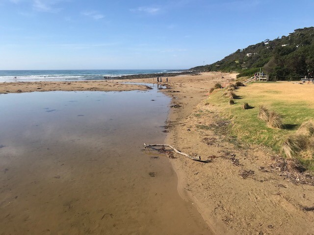
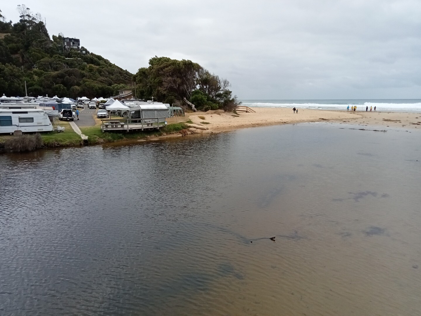
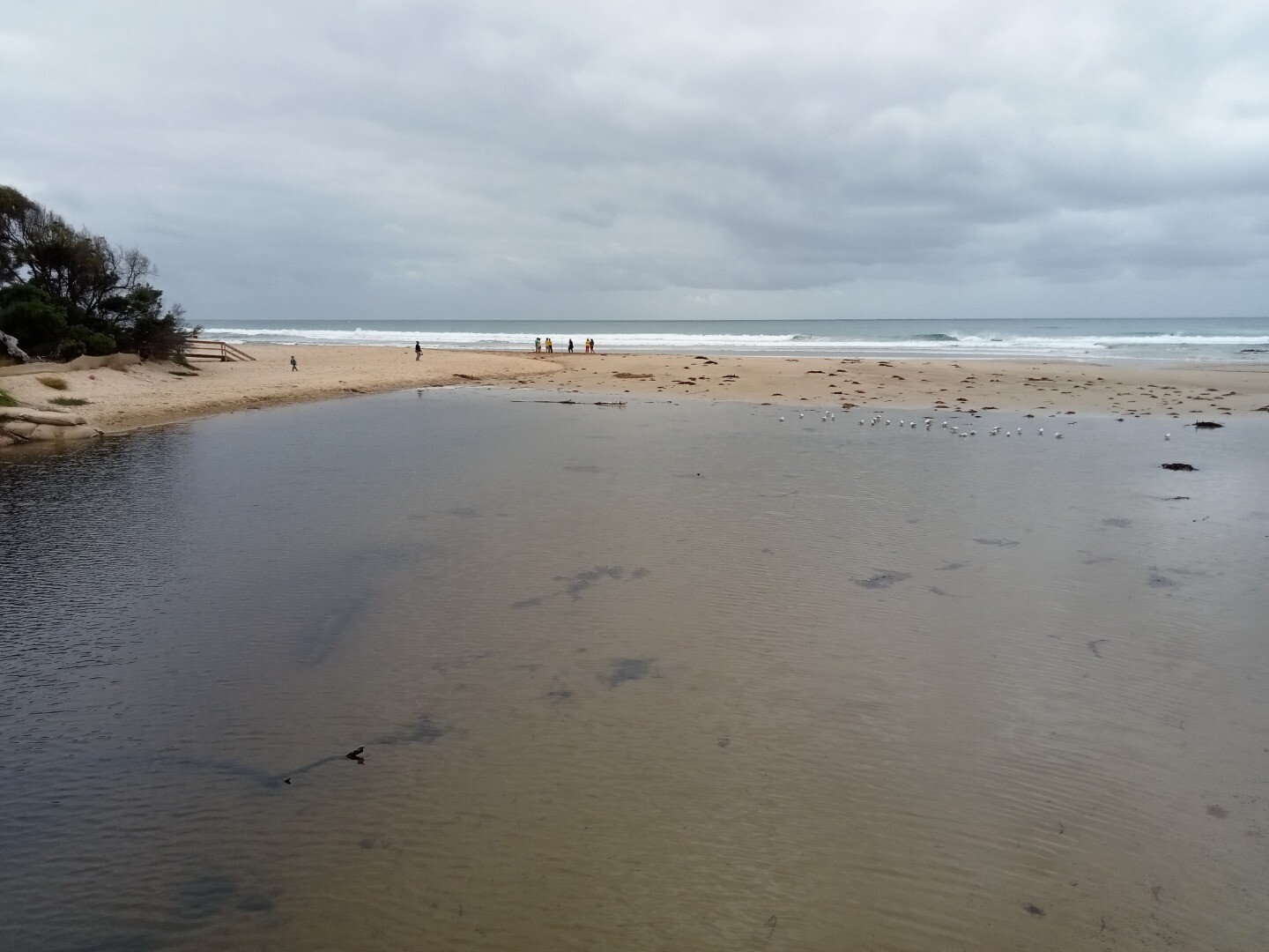
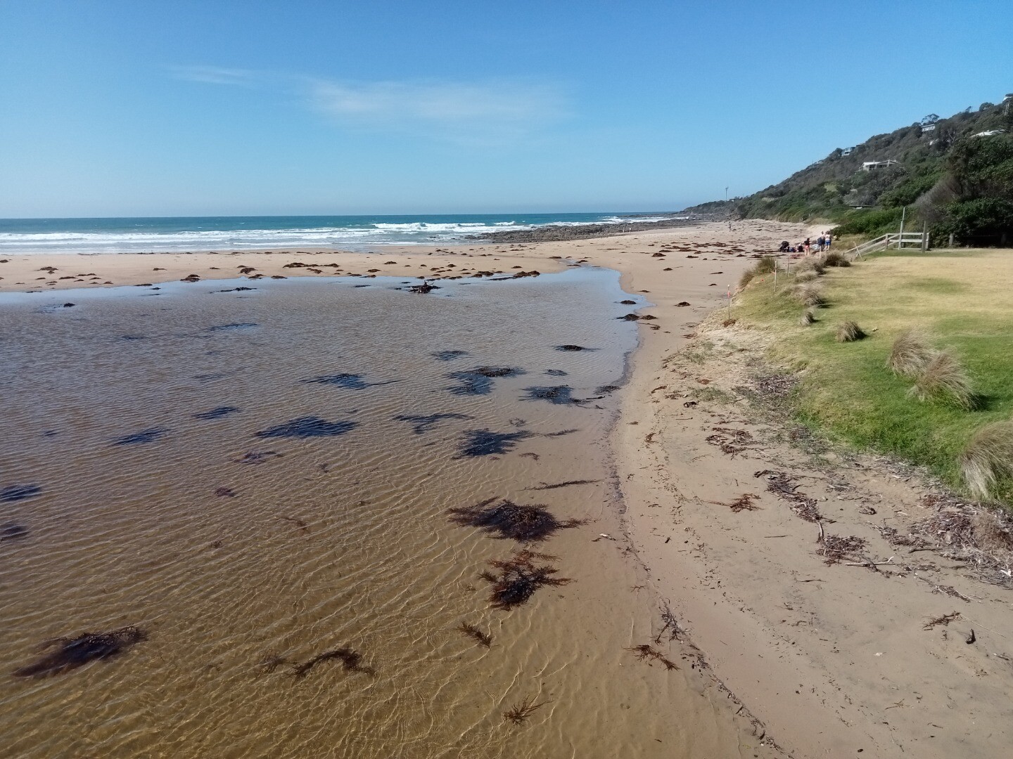
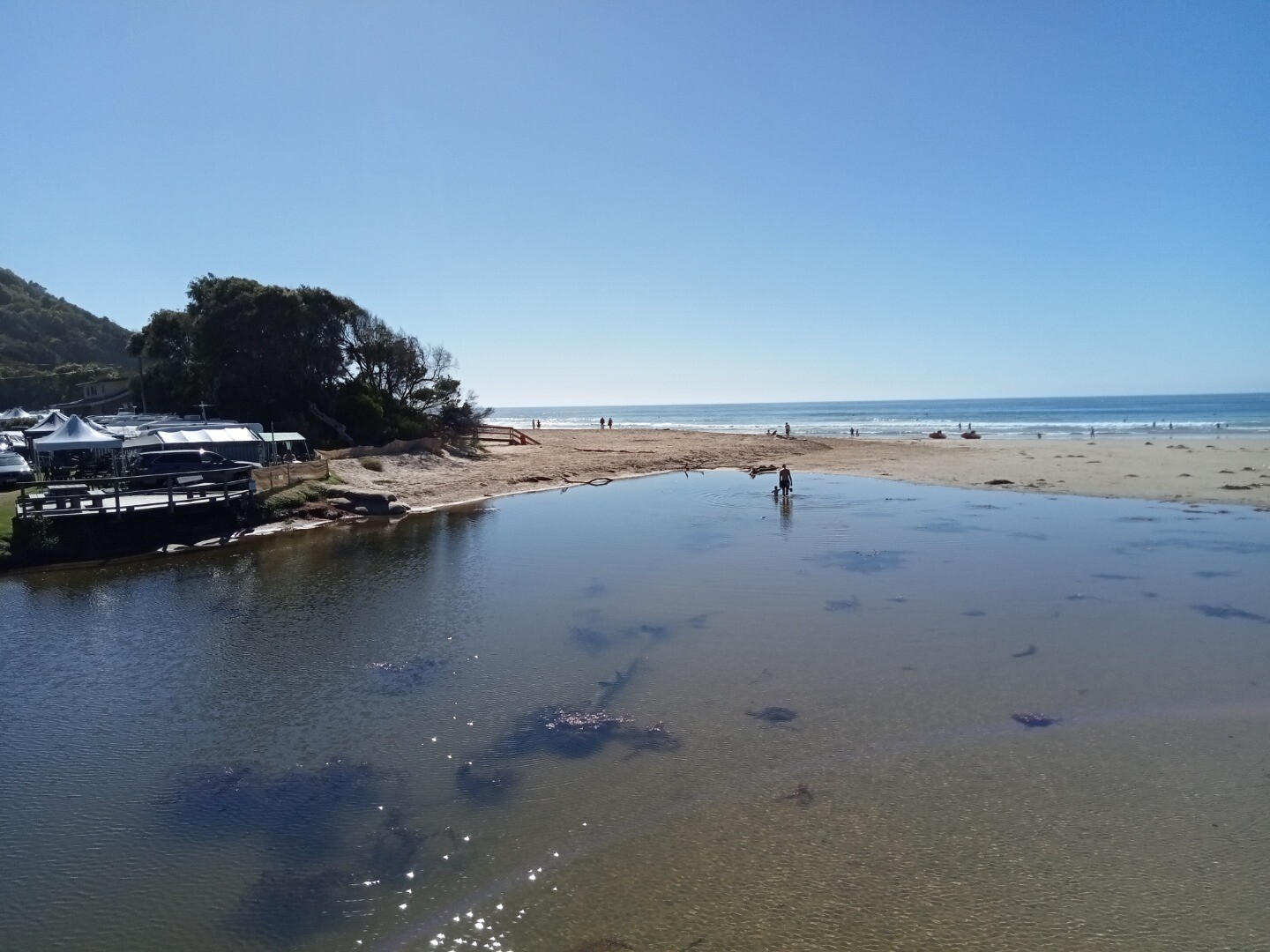
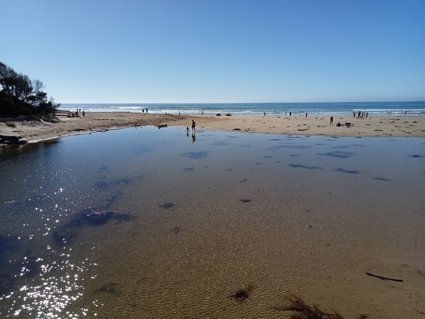
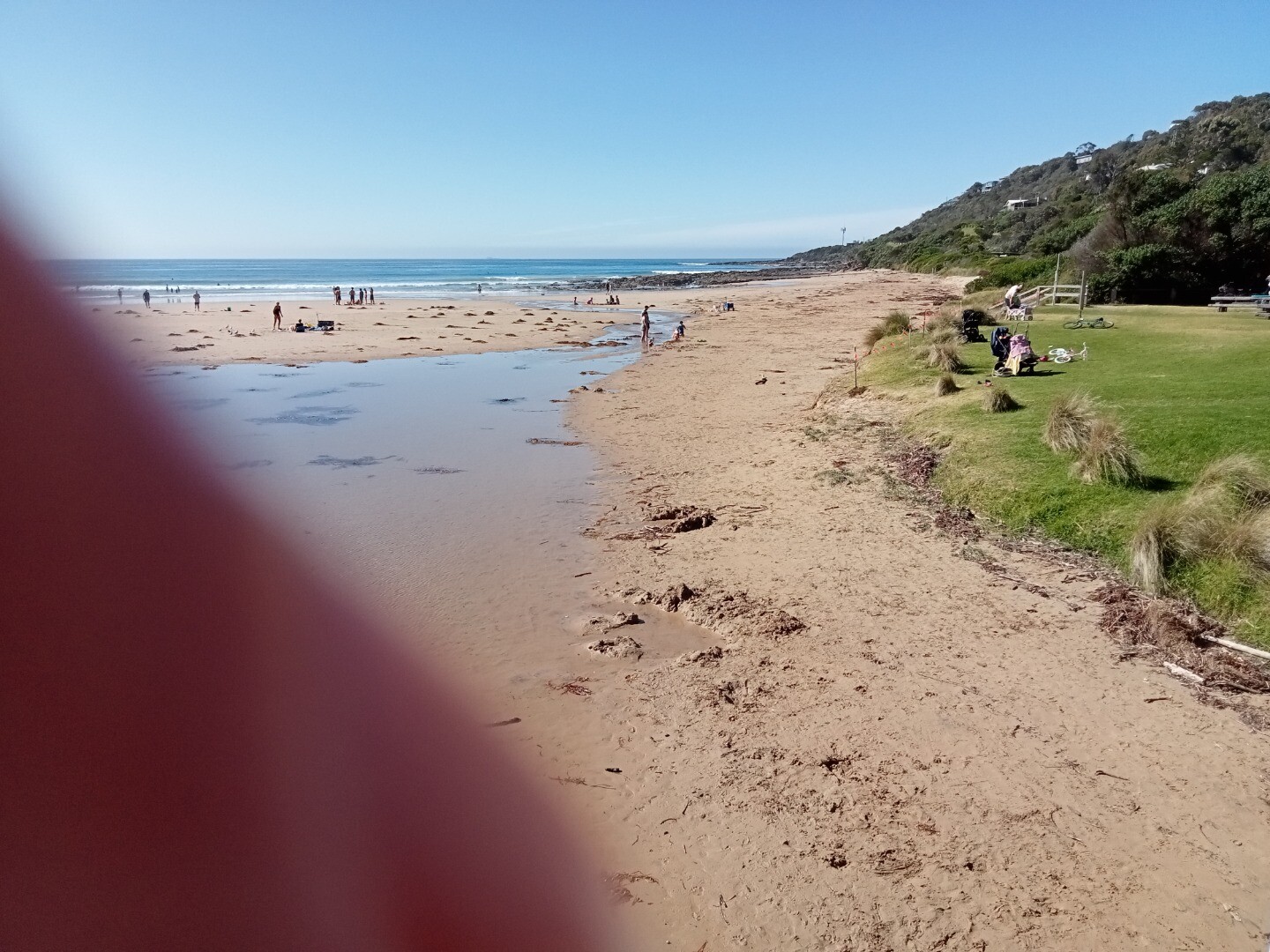
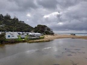
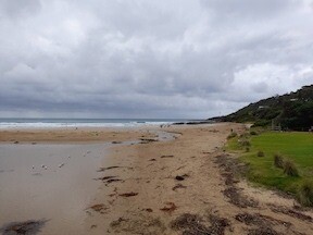
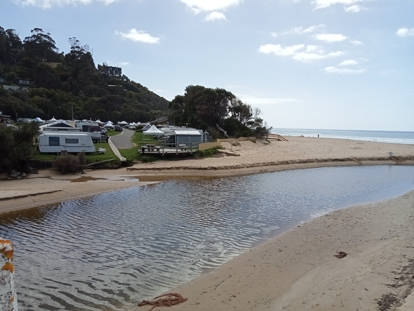
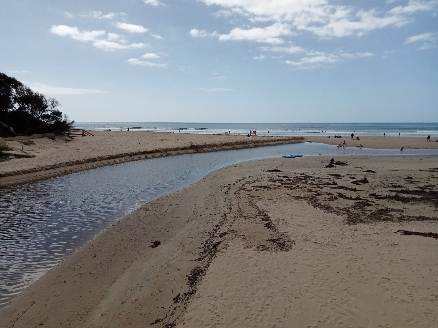
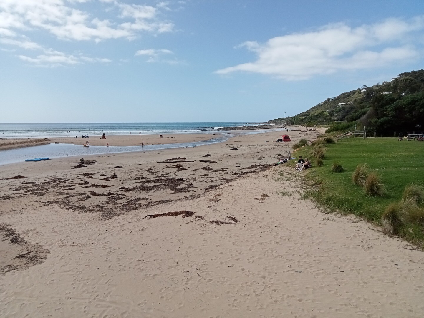
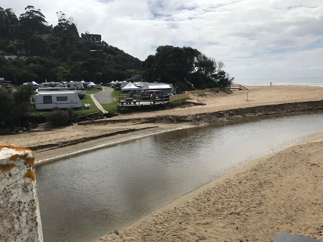
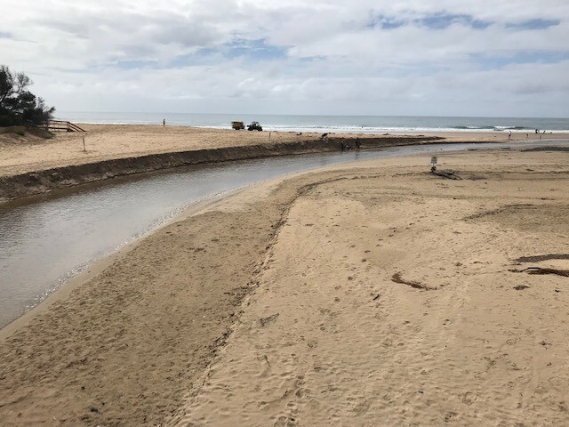
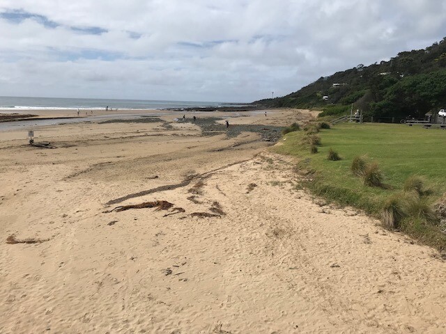
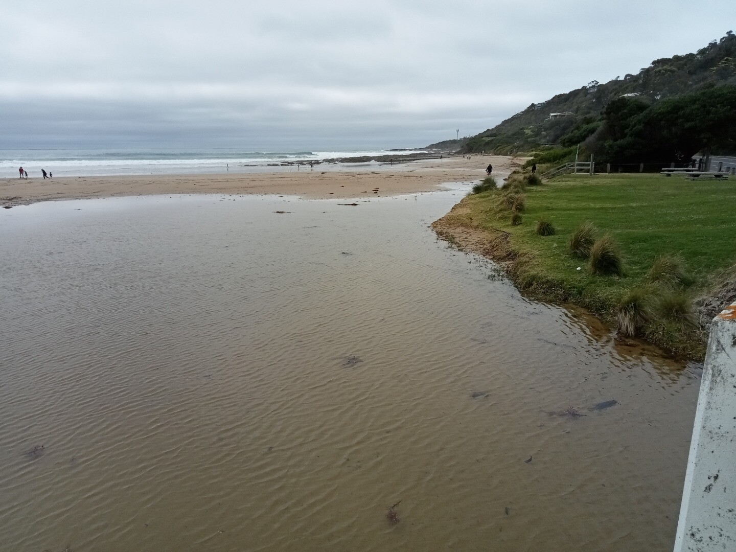
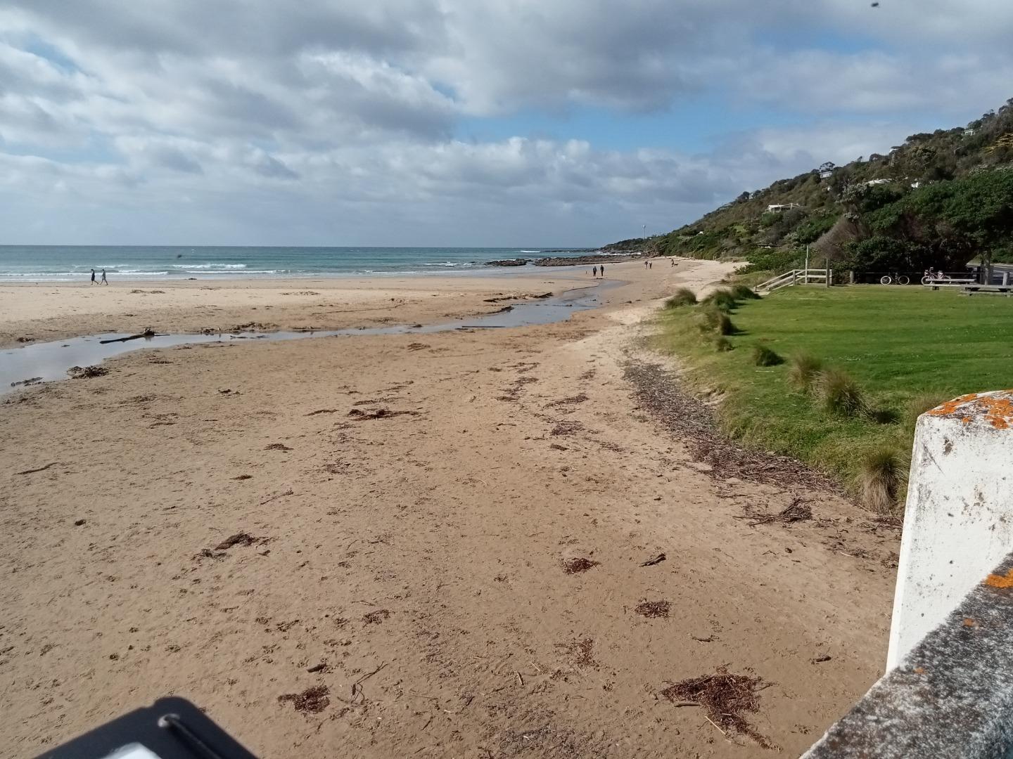
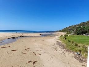
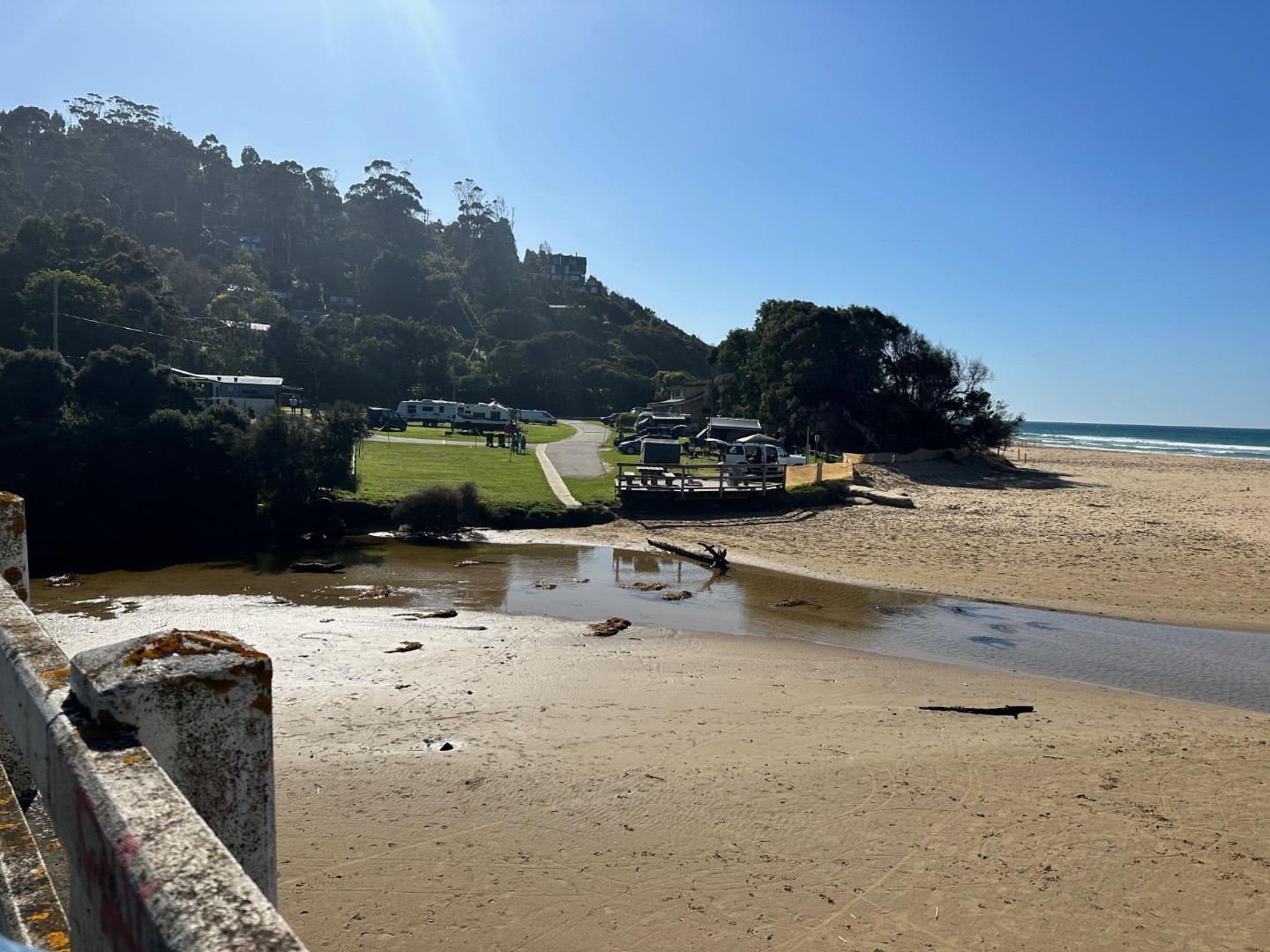
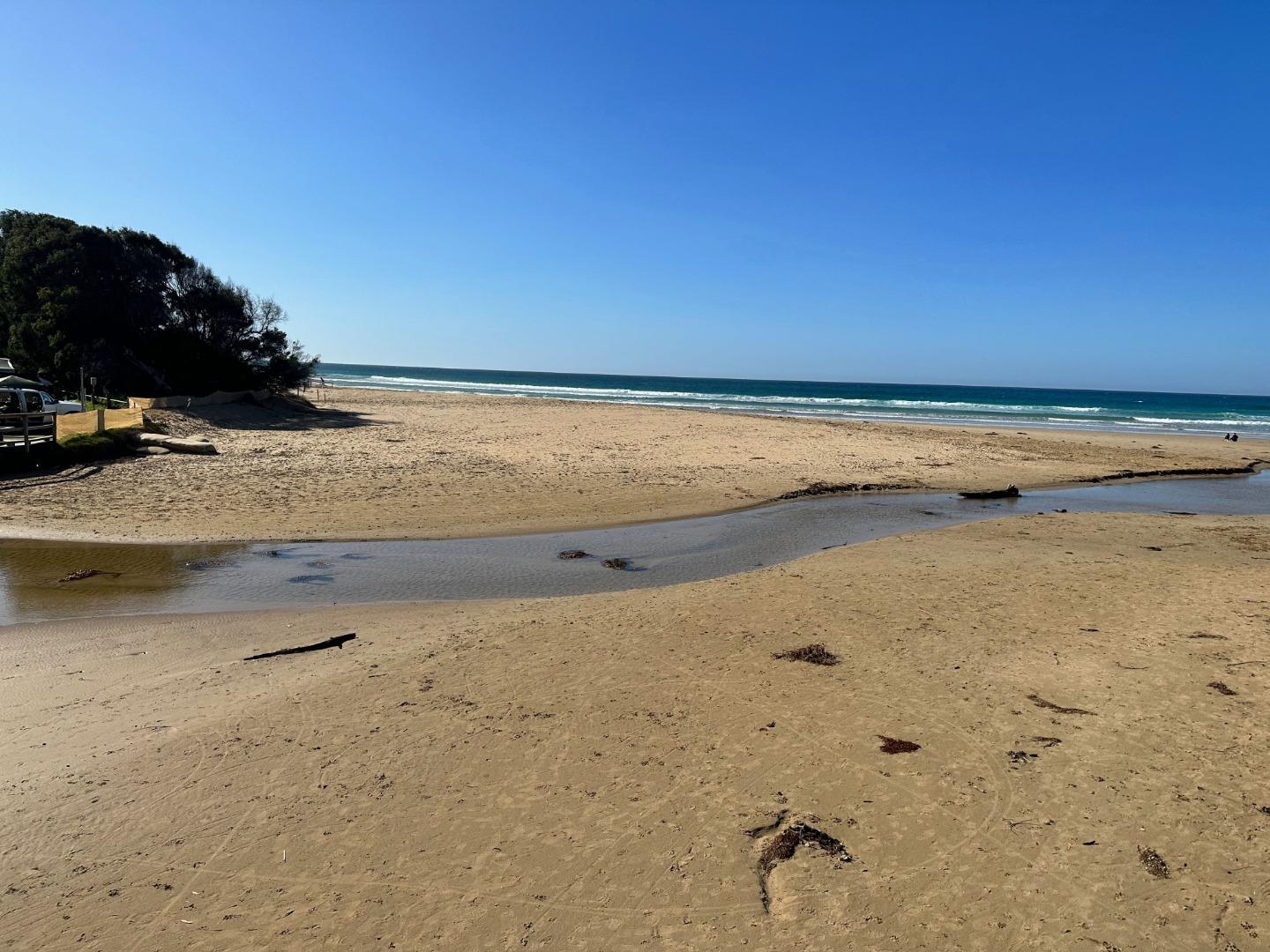
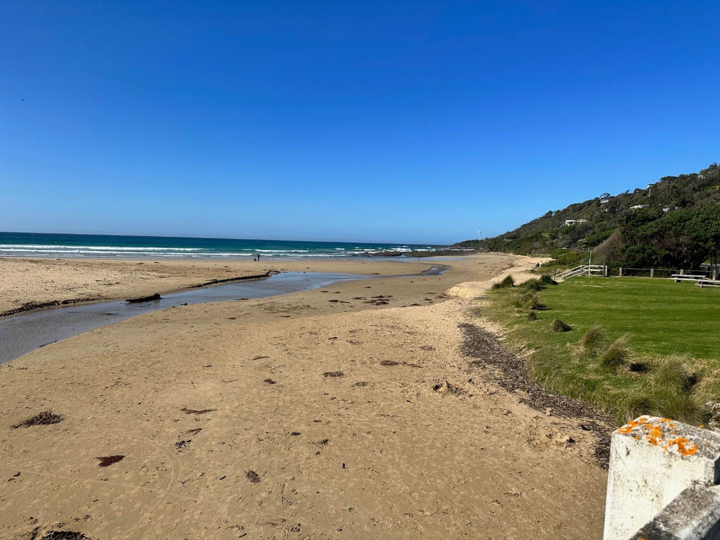
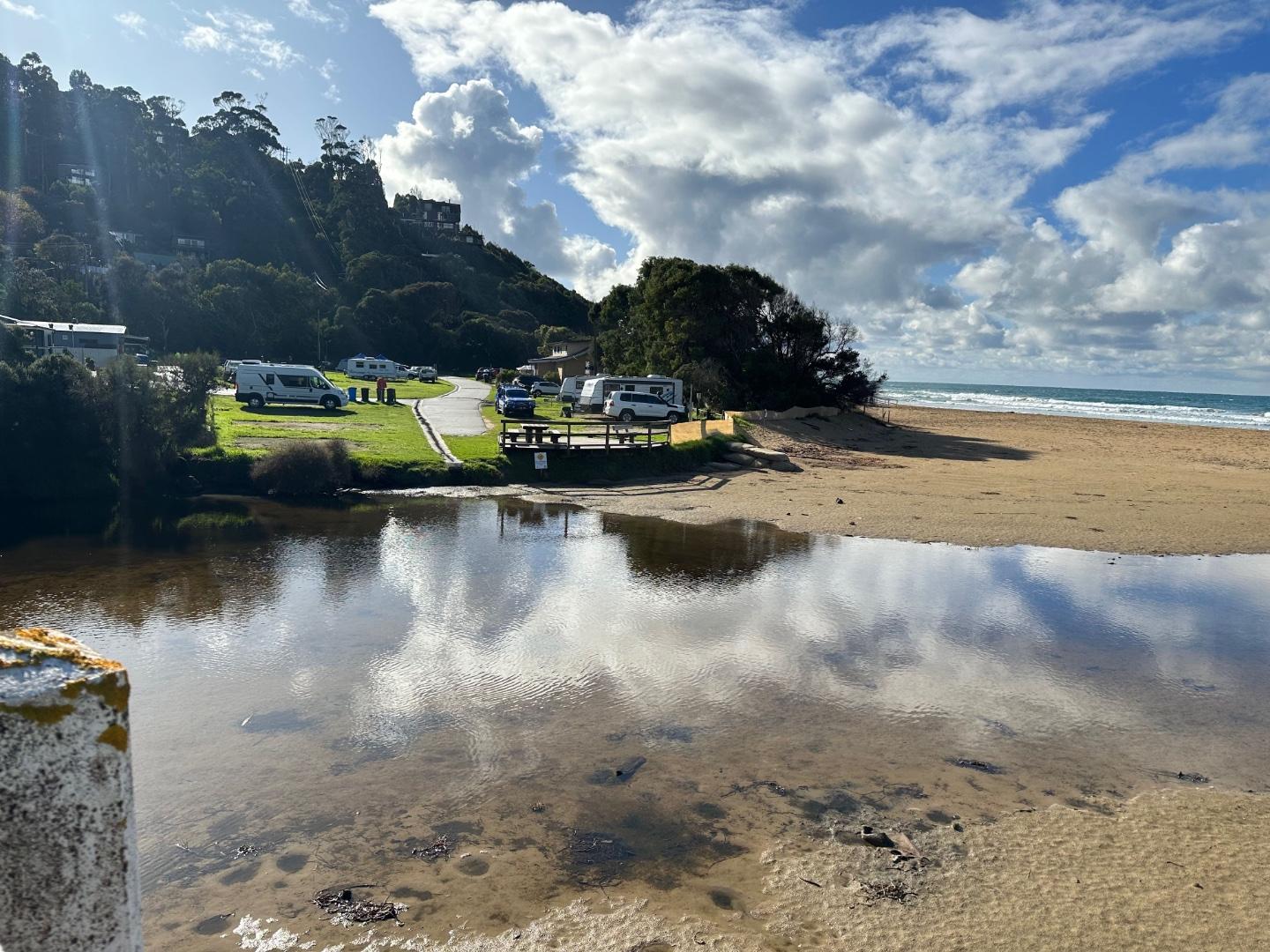
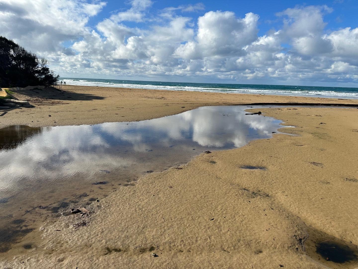
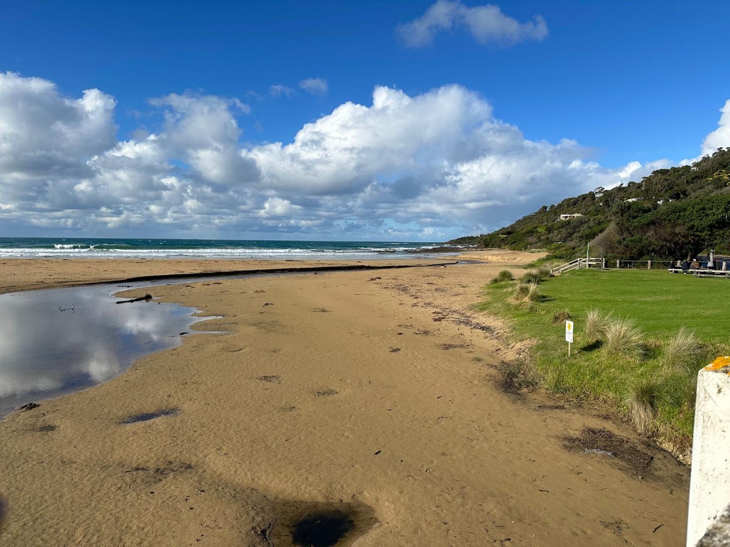
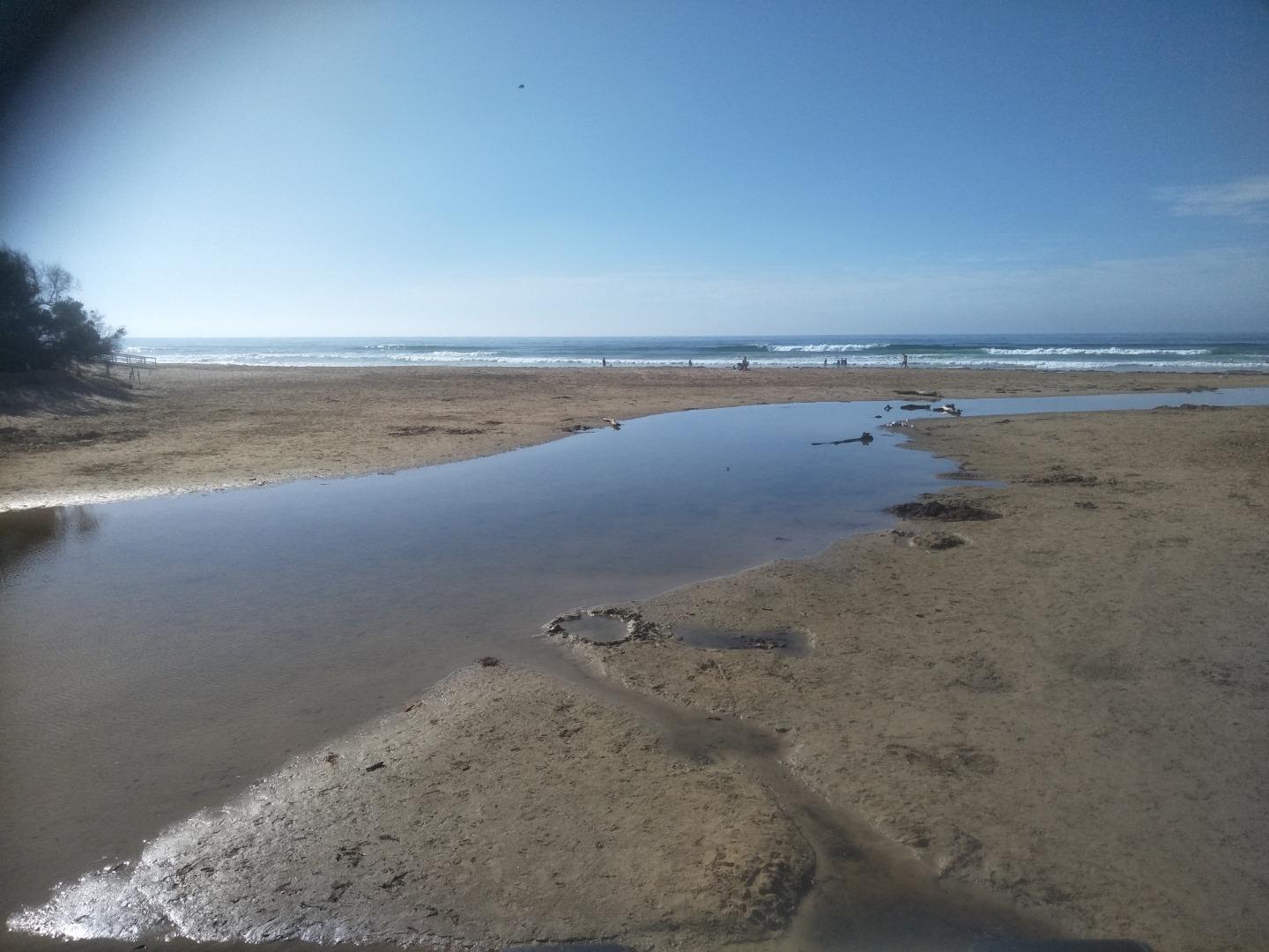
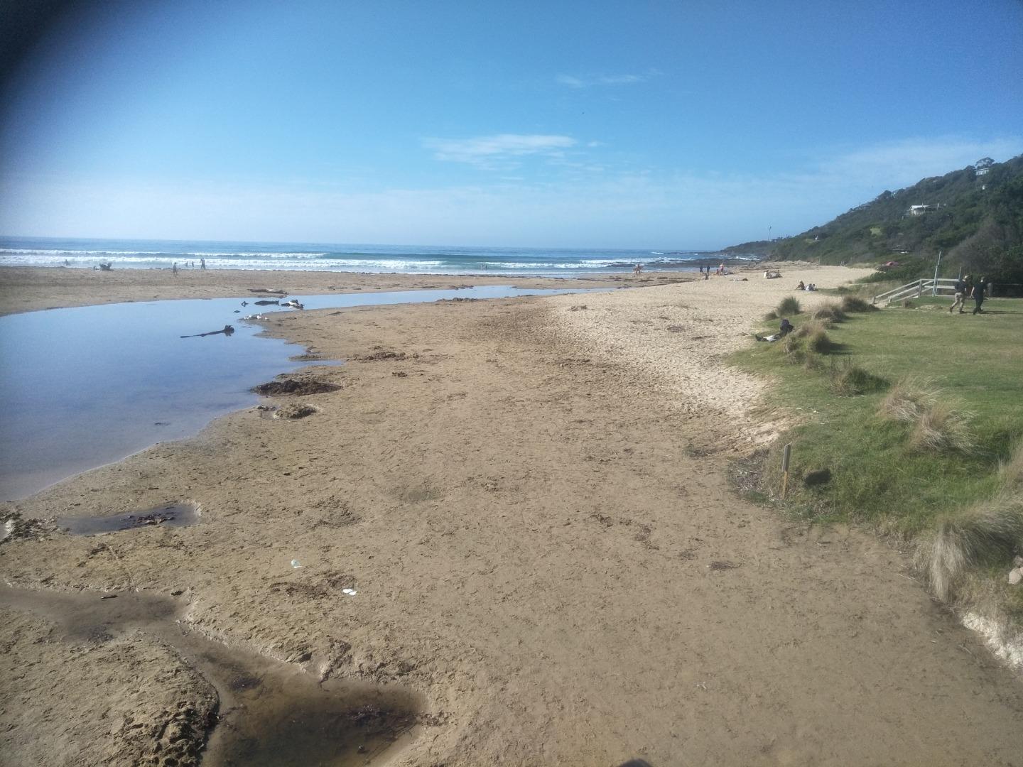
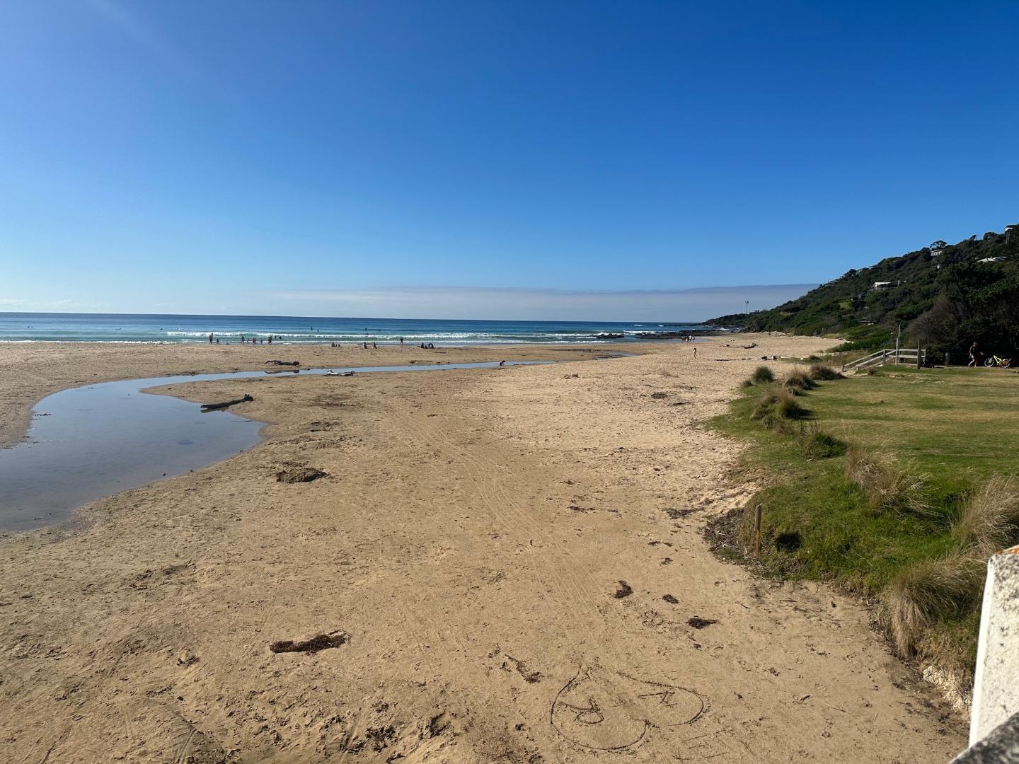
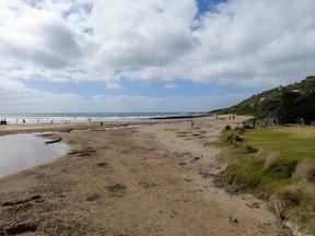
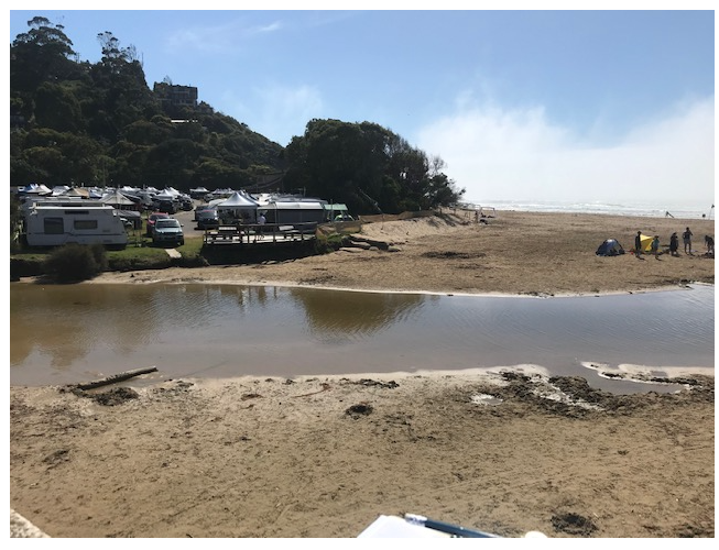
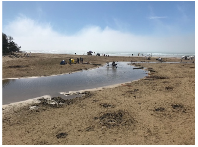
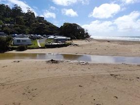
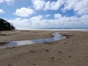
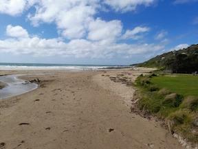
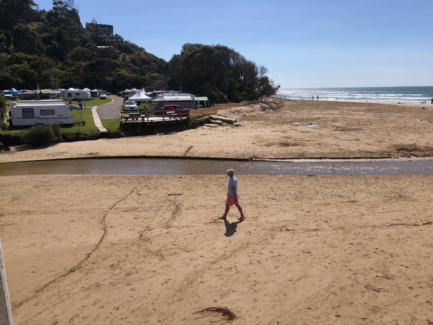
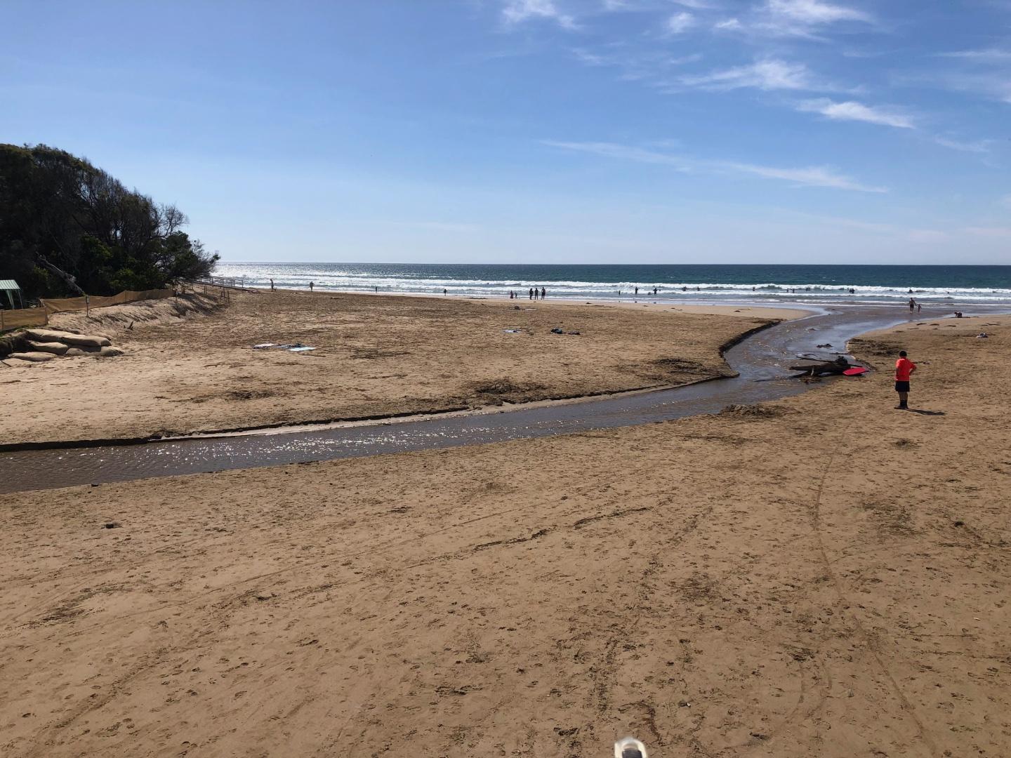
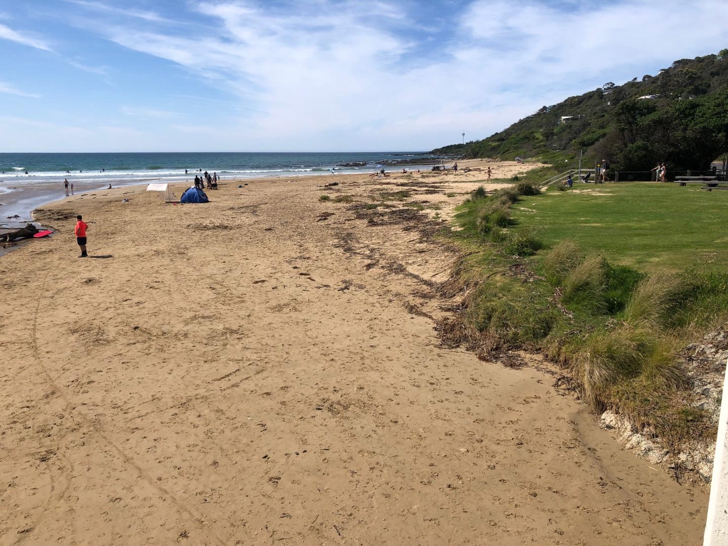
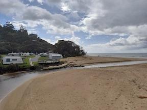
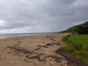
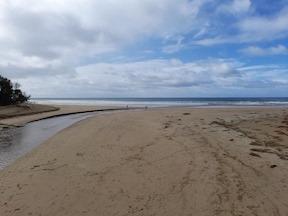
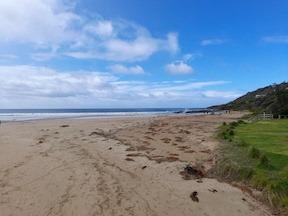
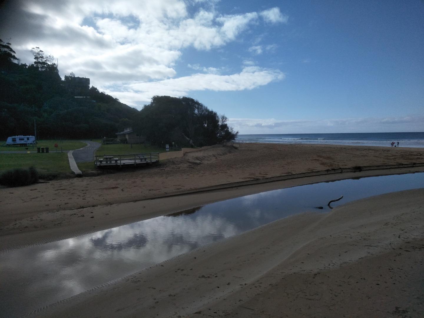
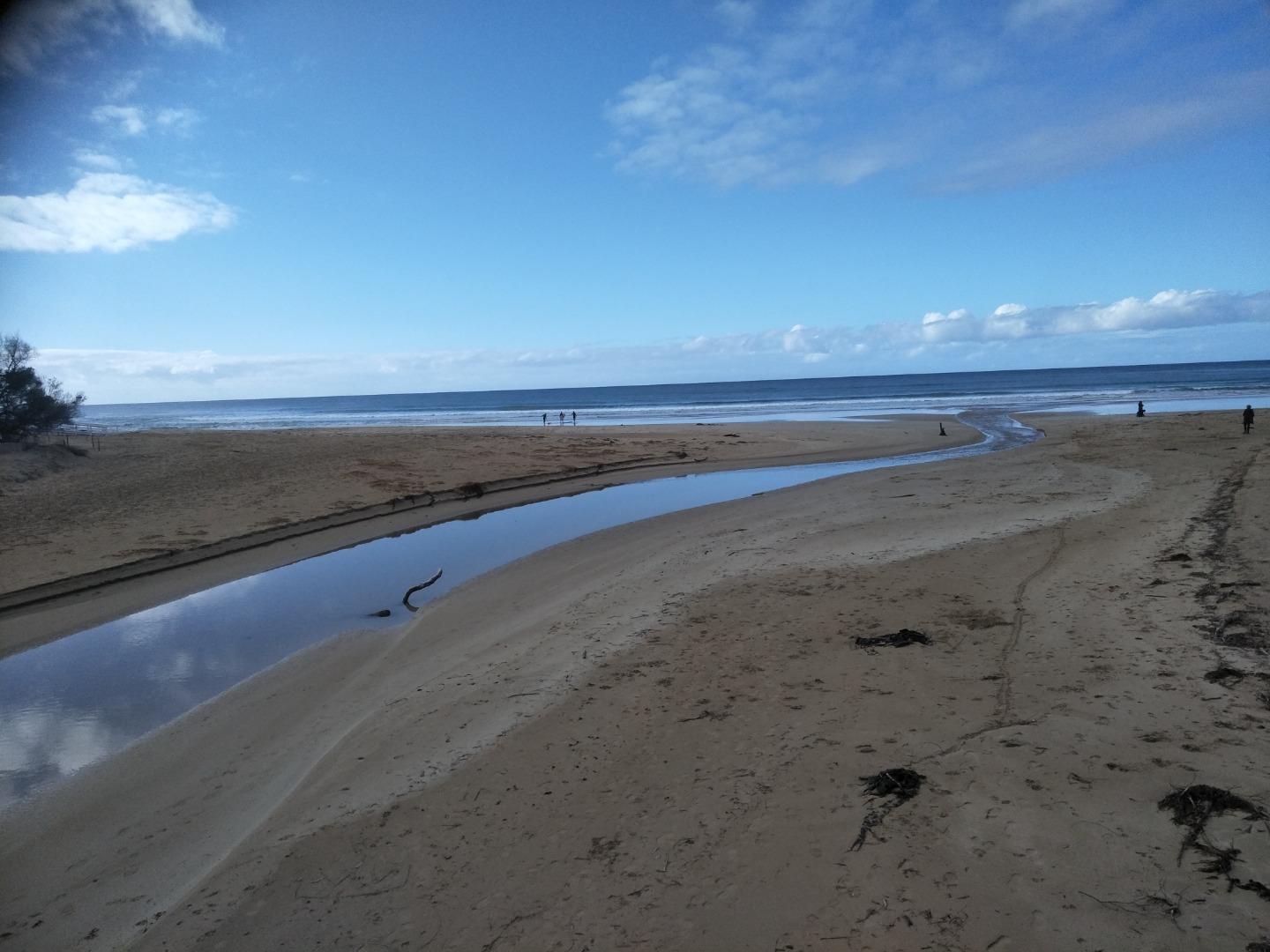
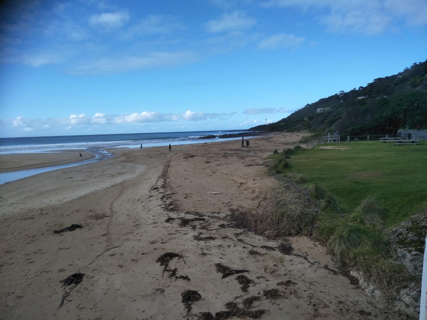
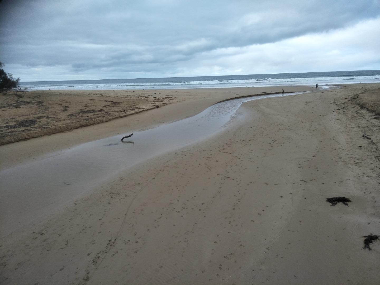
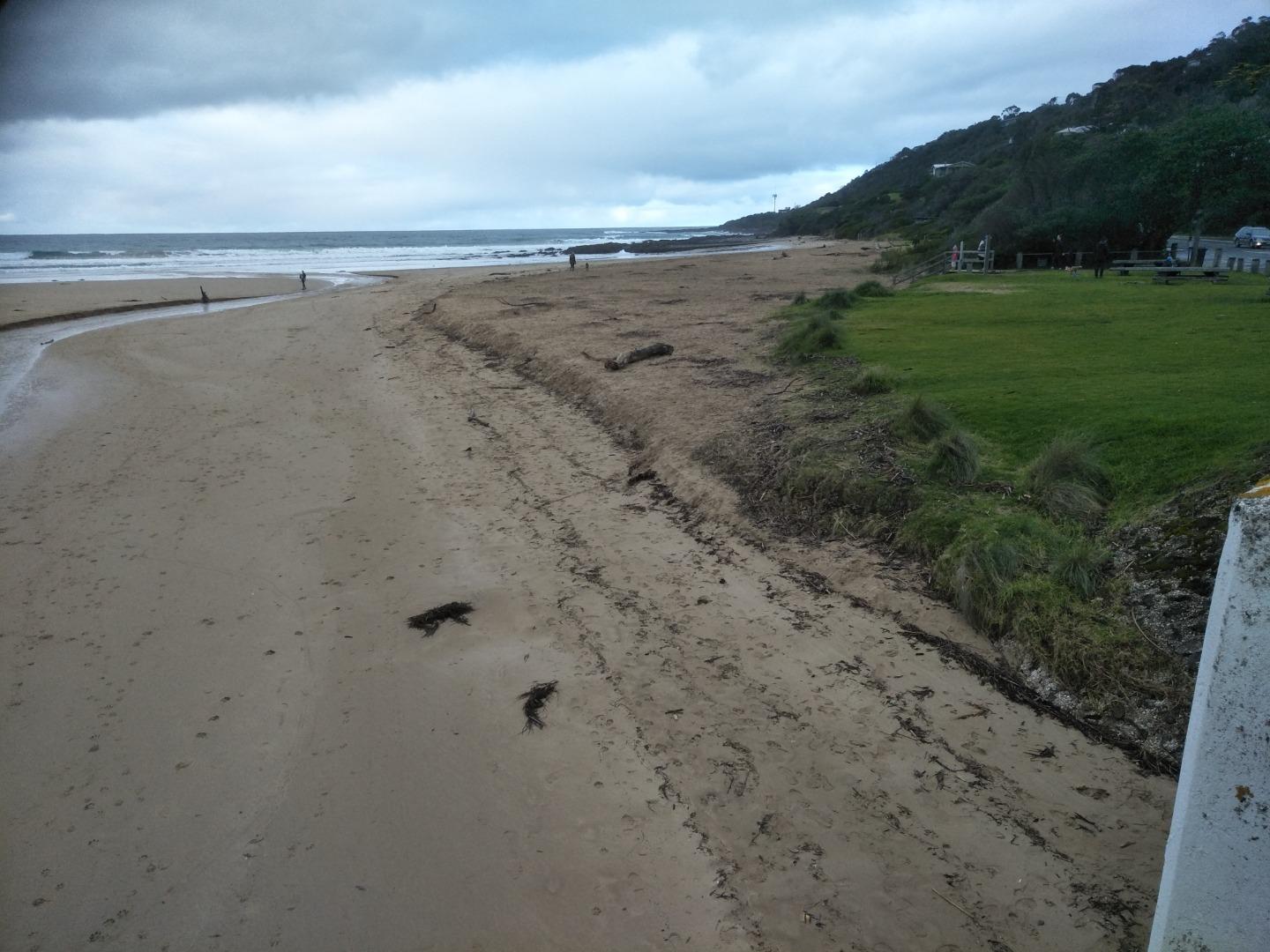
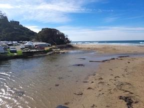
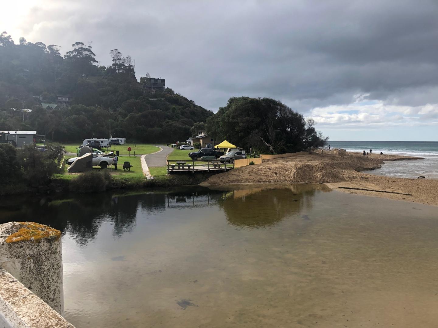
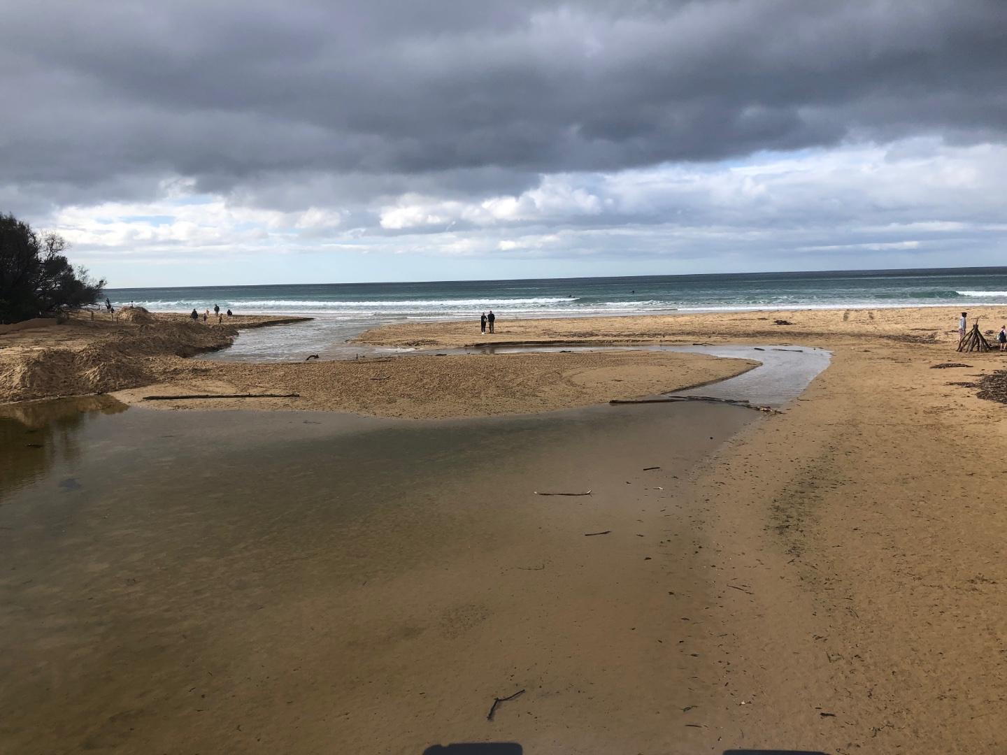
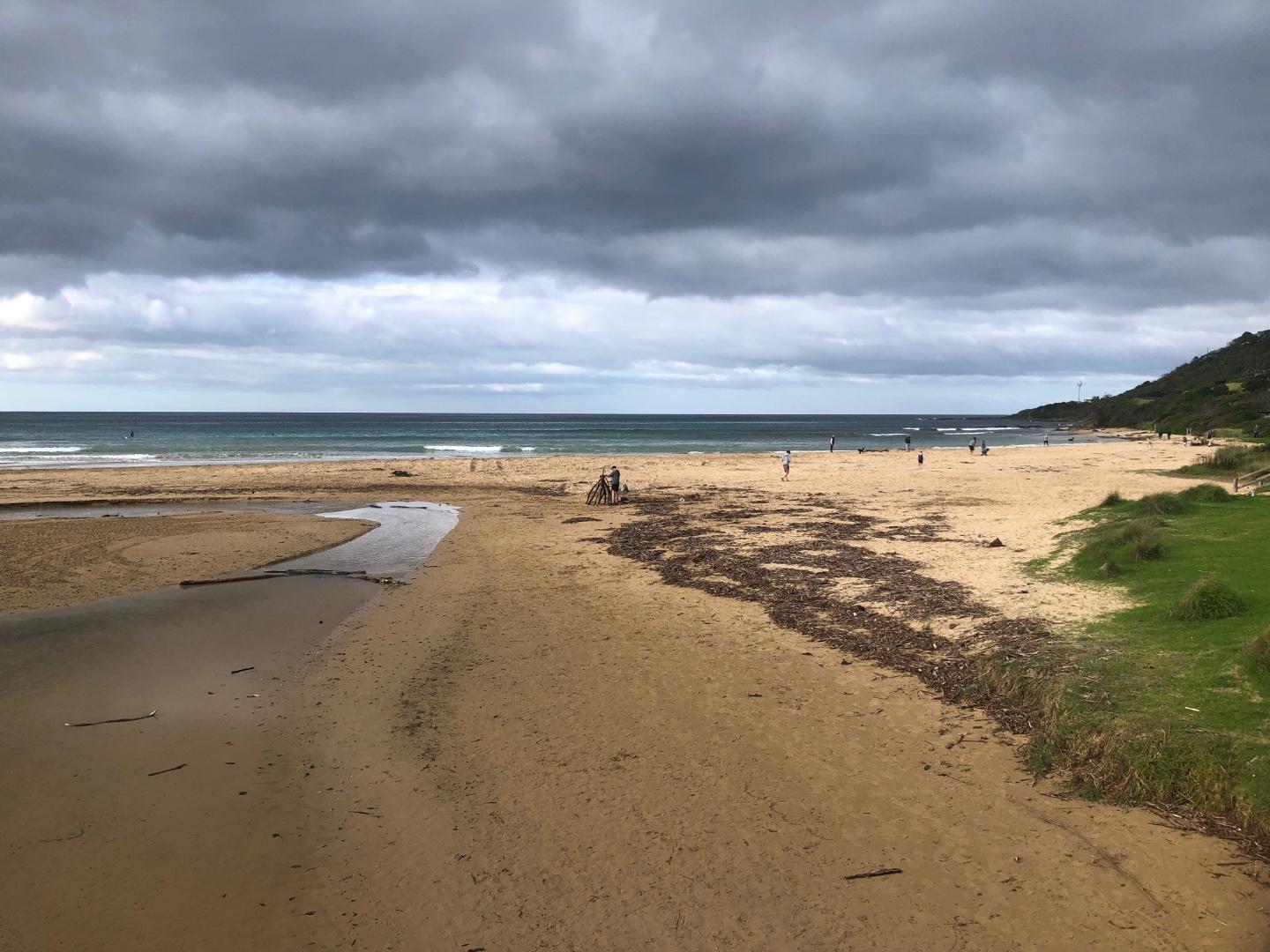
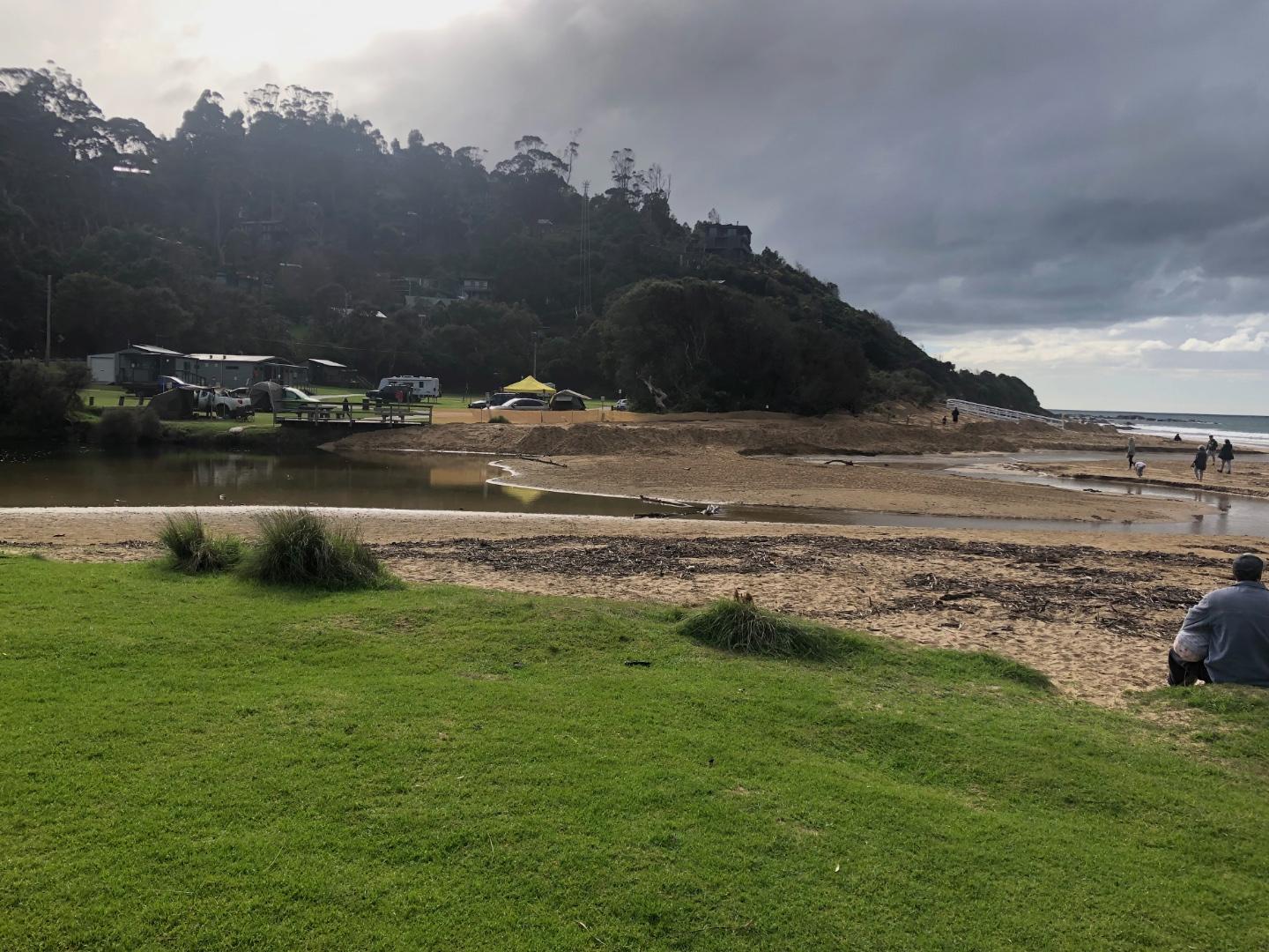
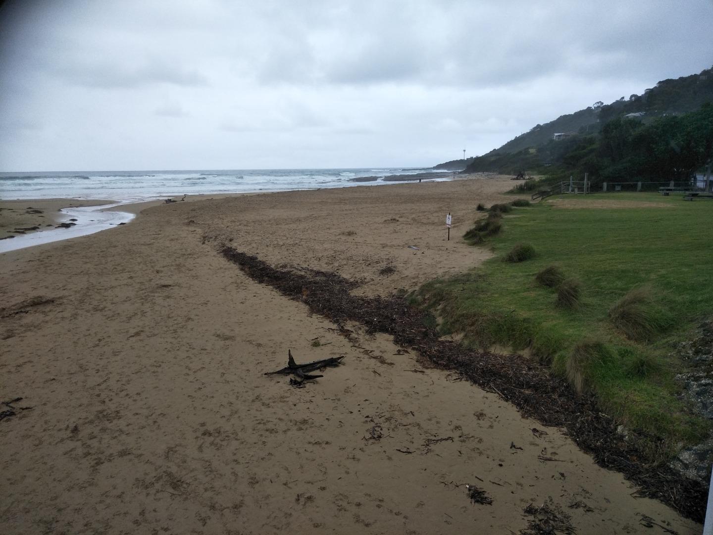
Active Mouth Condition 20-01-2007 - 21-04-2024Wye River Estuary
| ID | Date | Status | Details | |
|---|---|---|---|---|
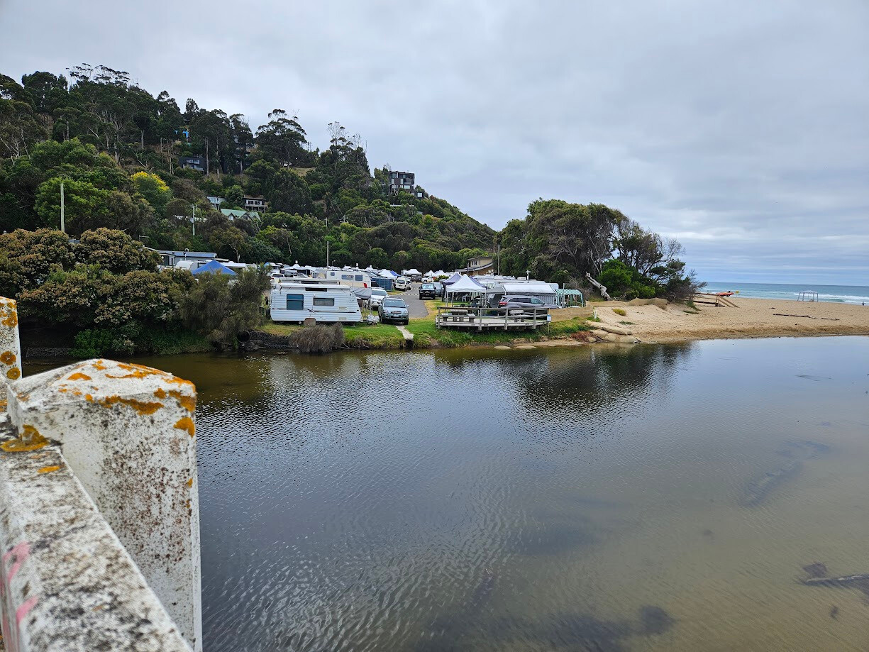
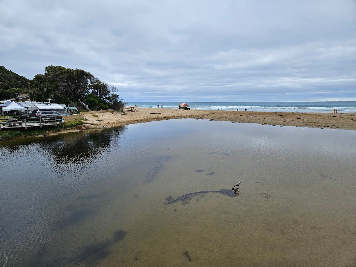
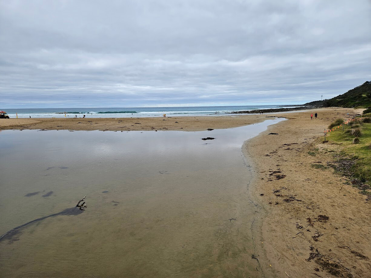
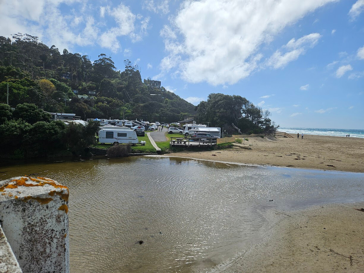
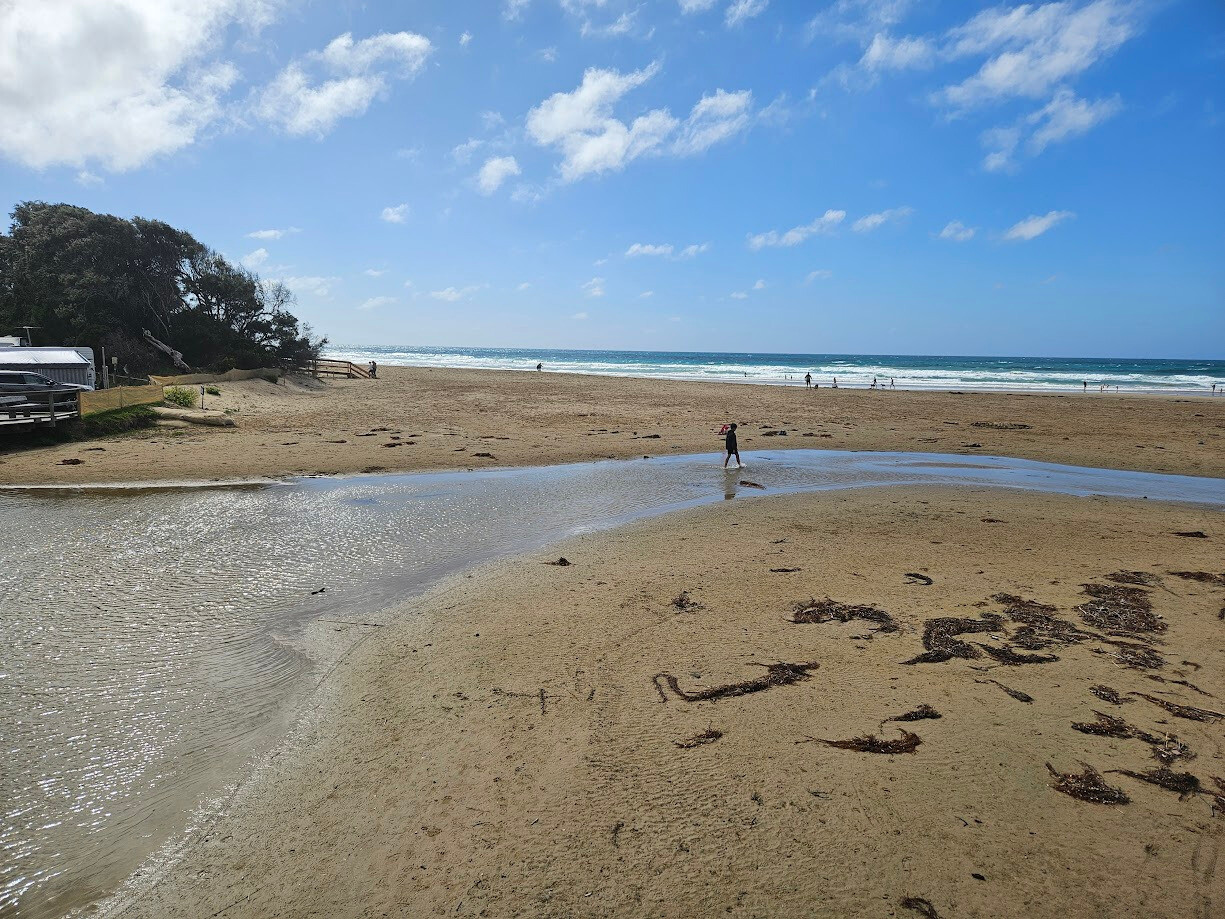
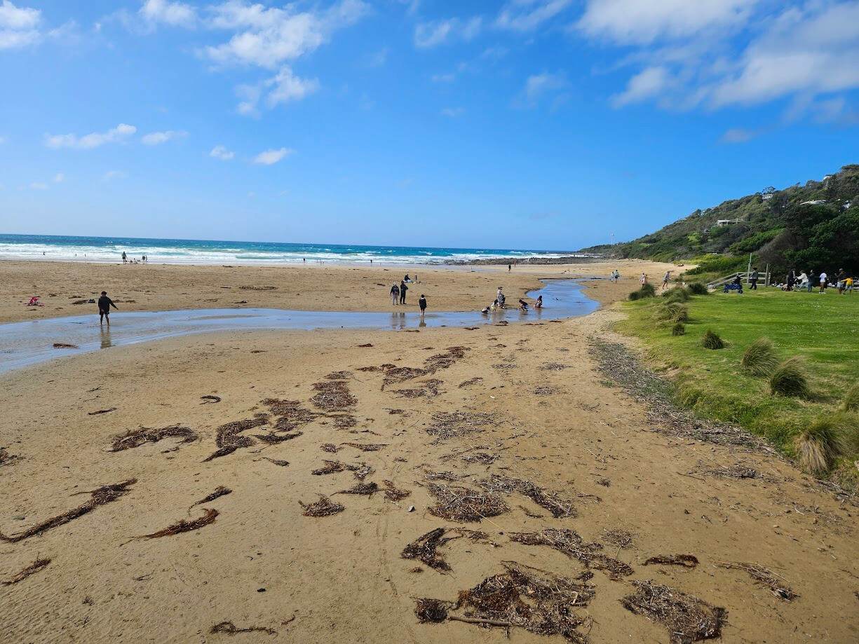
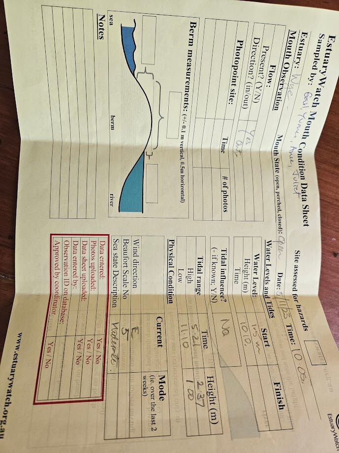
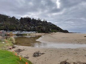
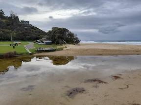
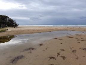
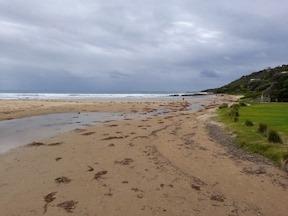
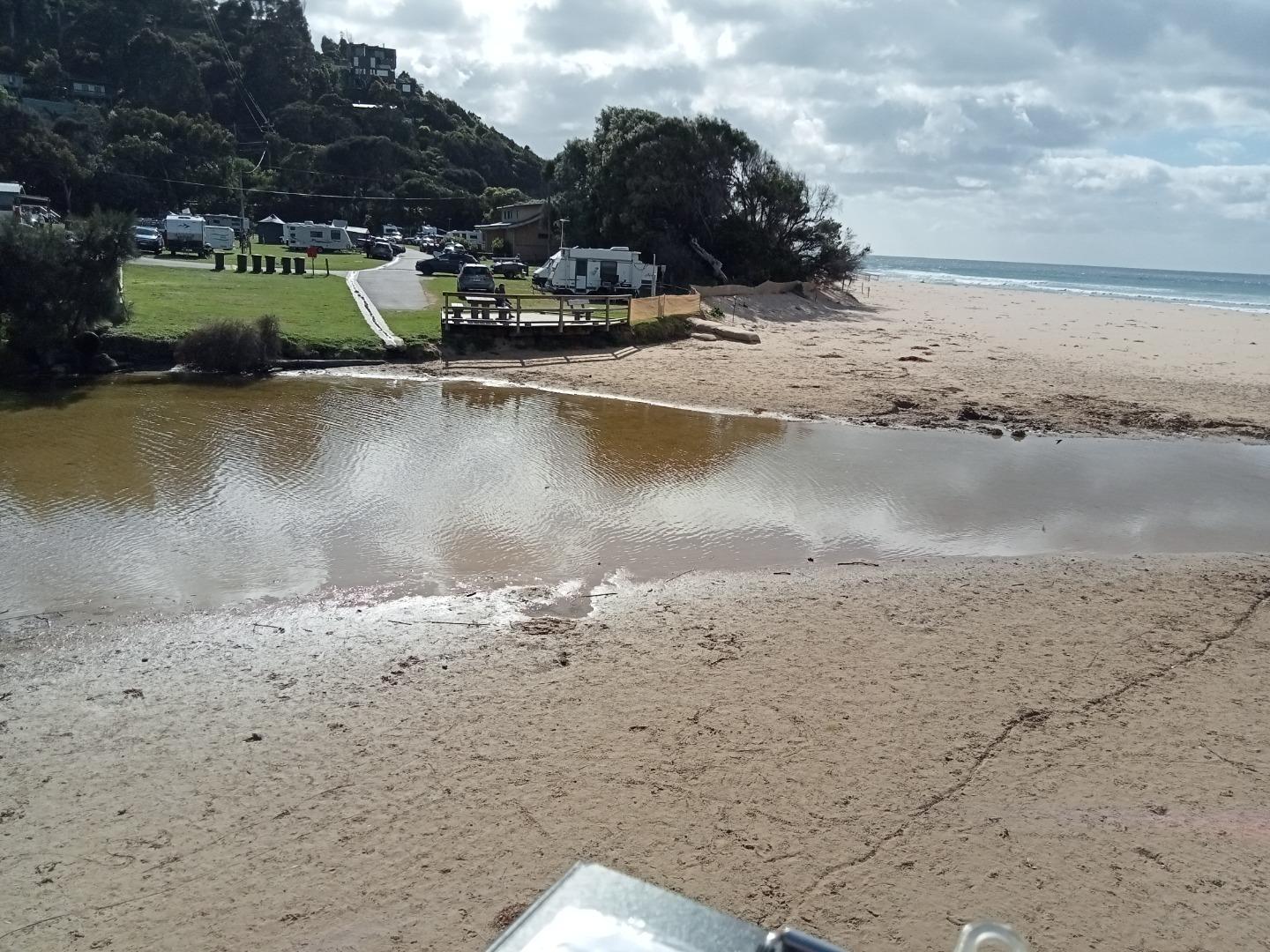
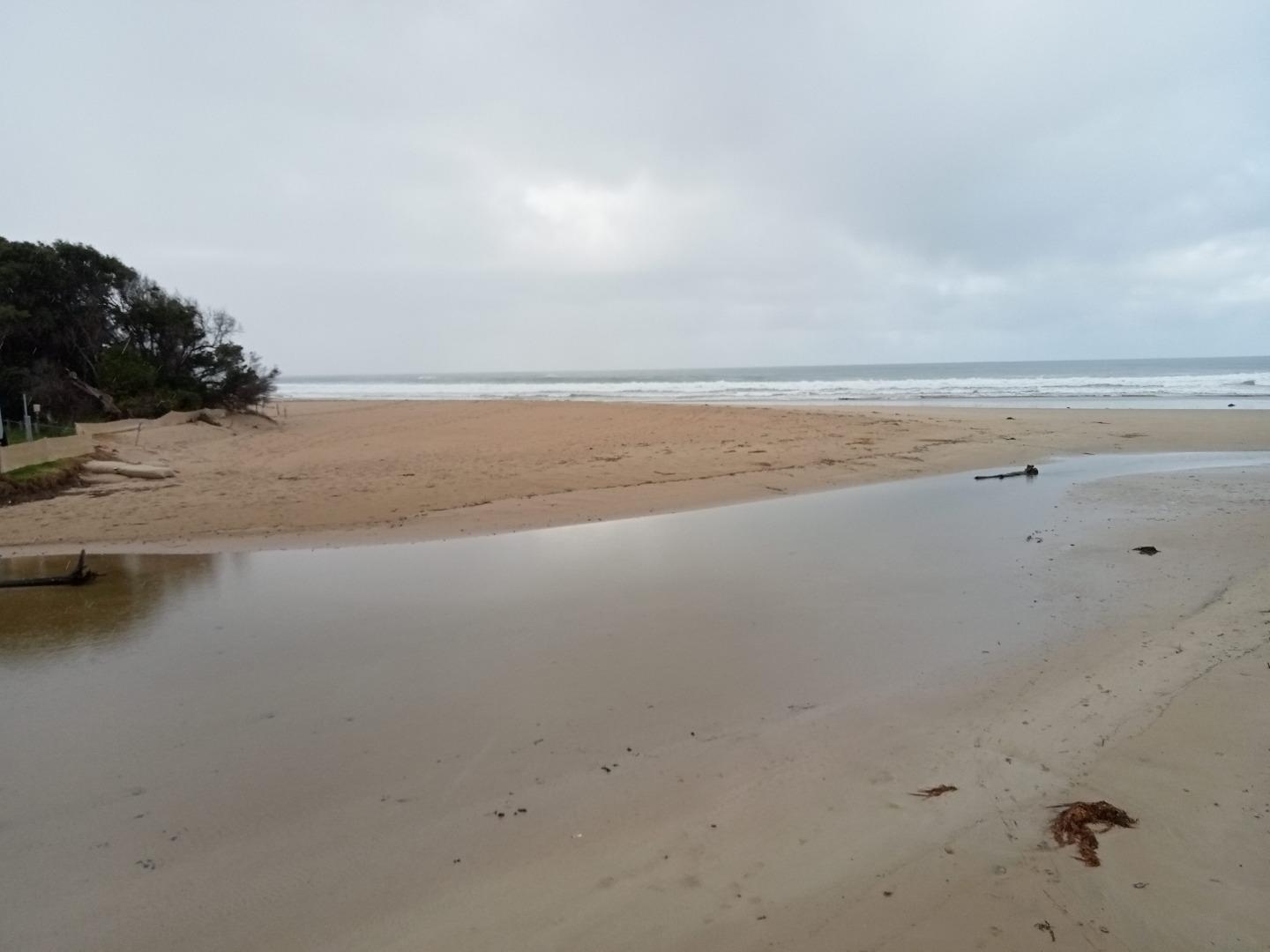
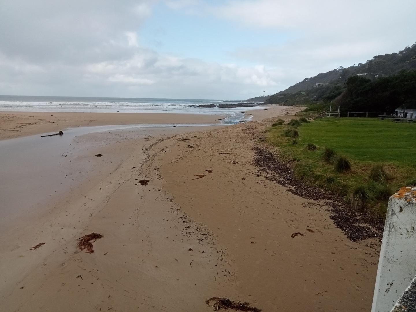
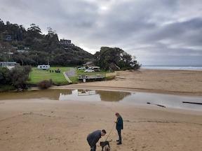
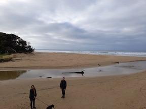
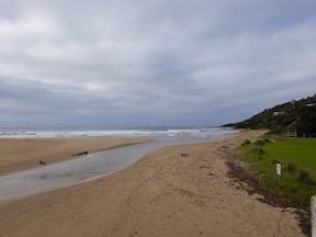
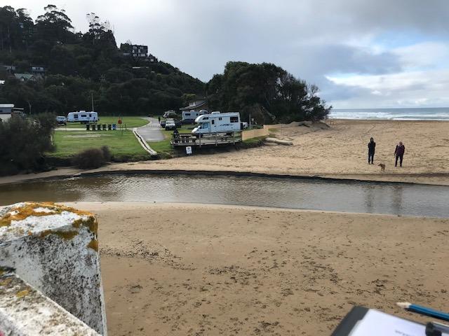
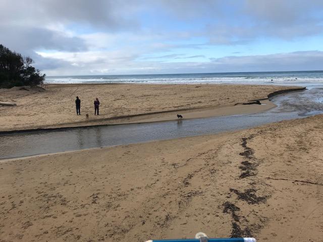
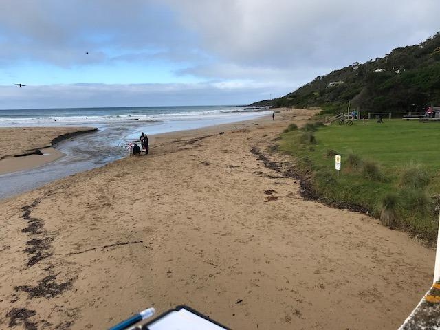
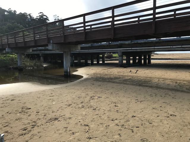
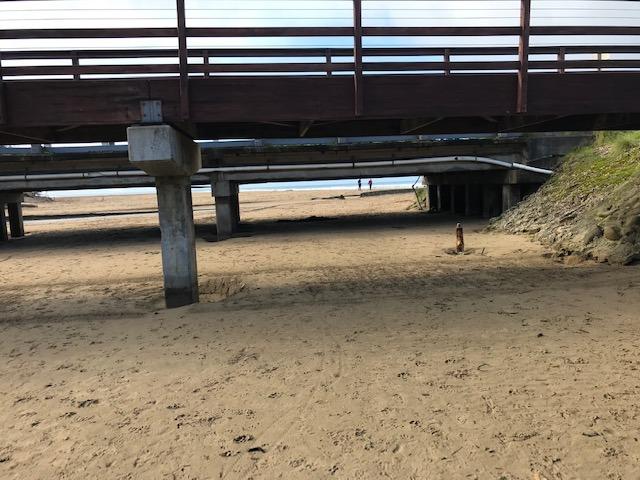
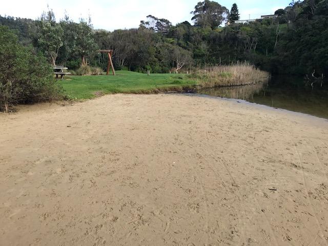
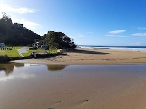
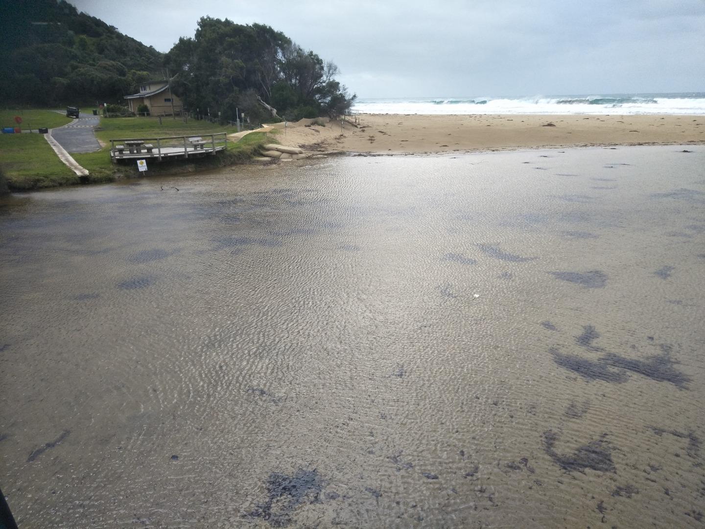
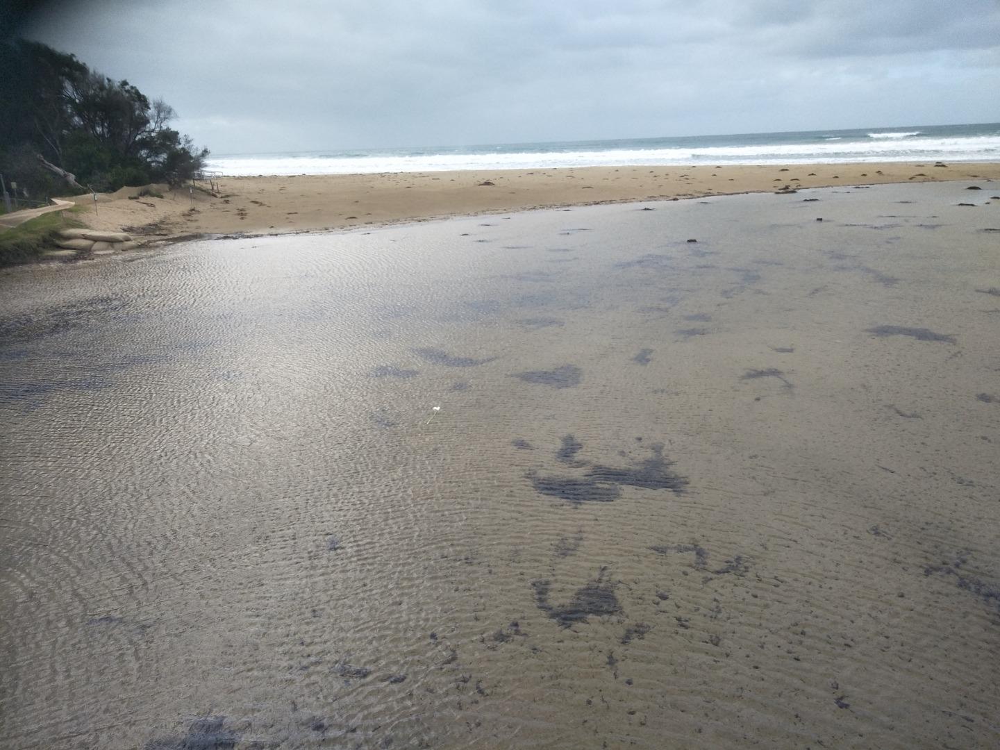
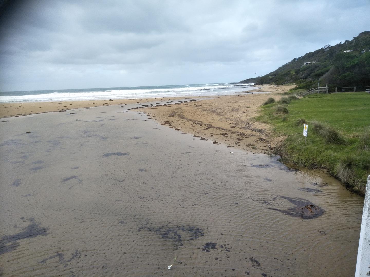
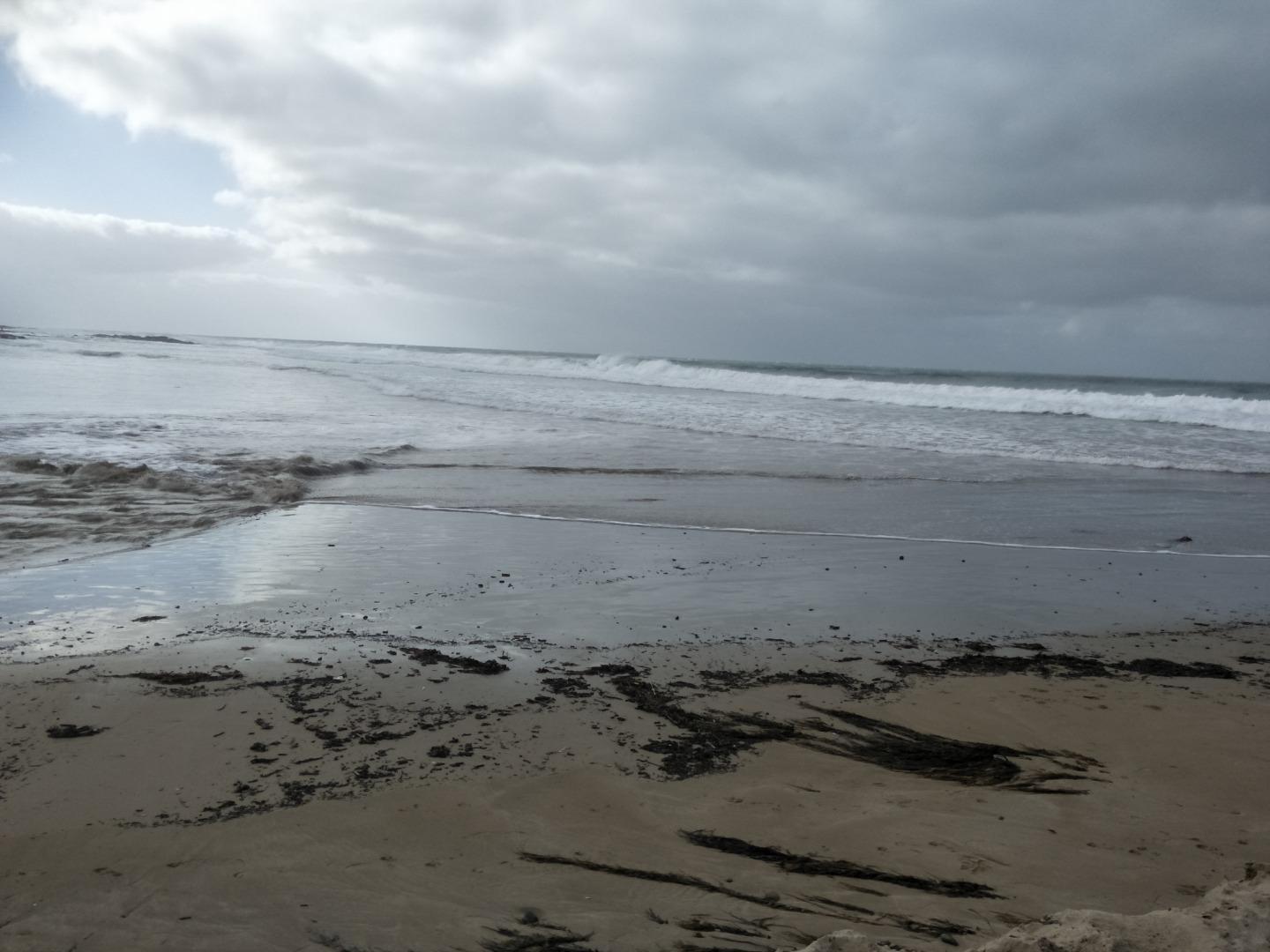
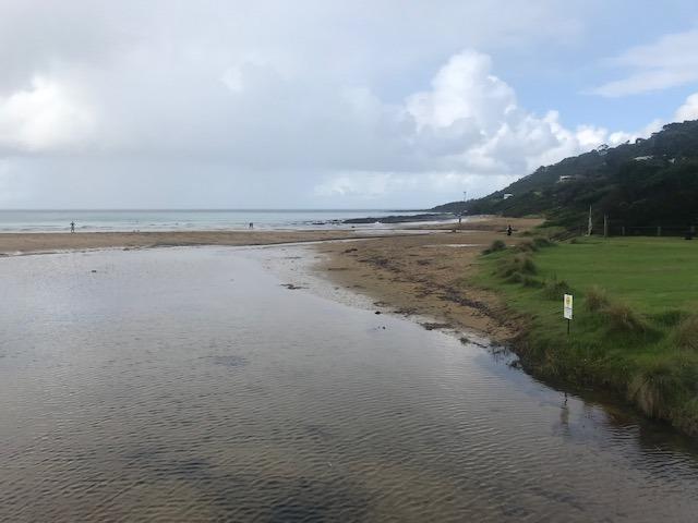
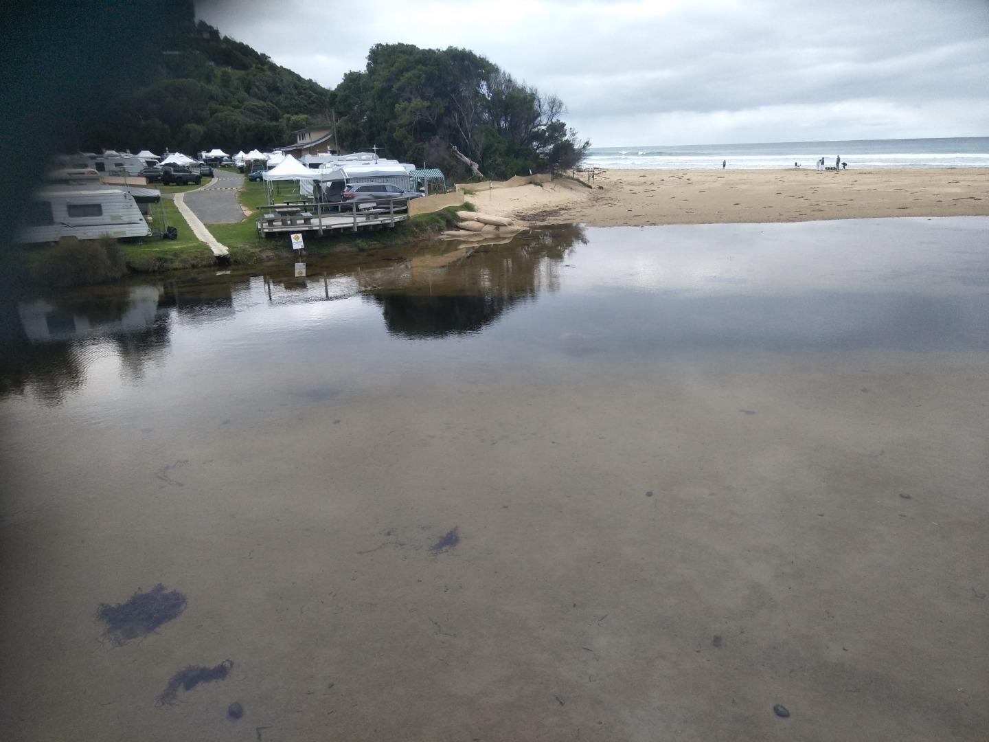
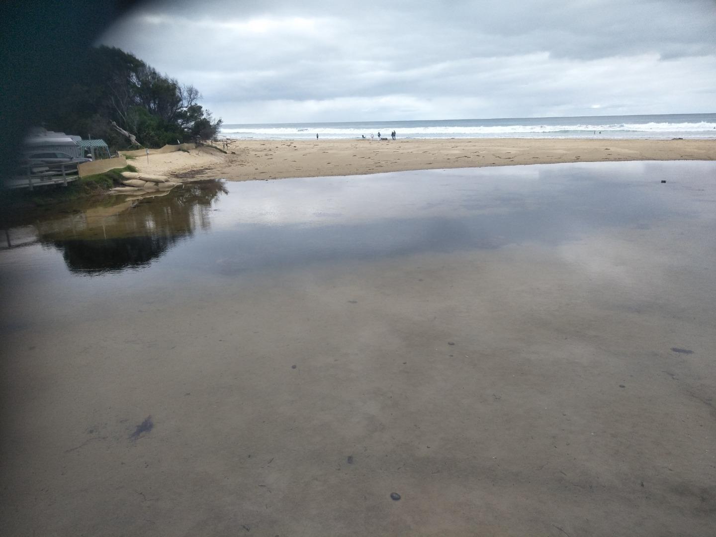
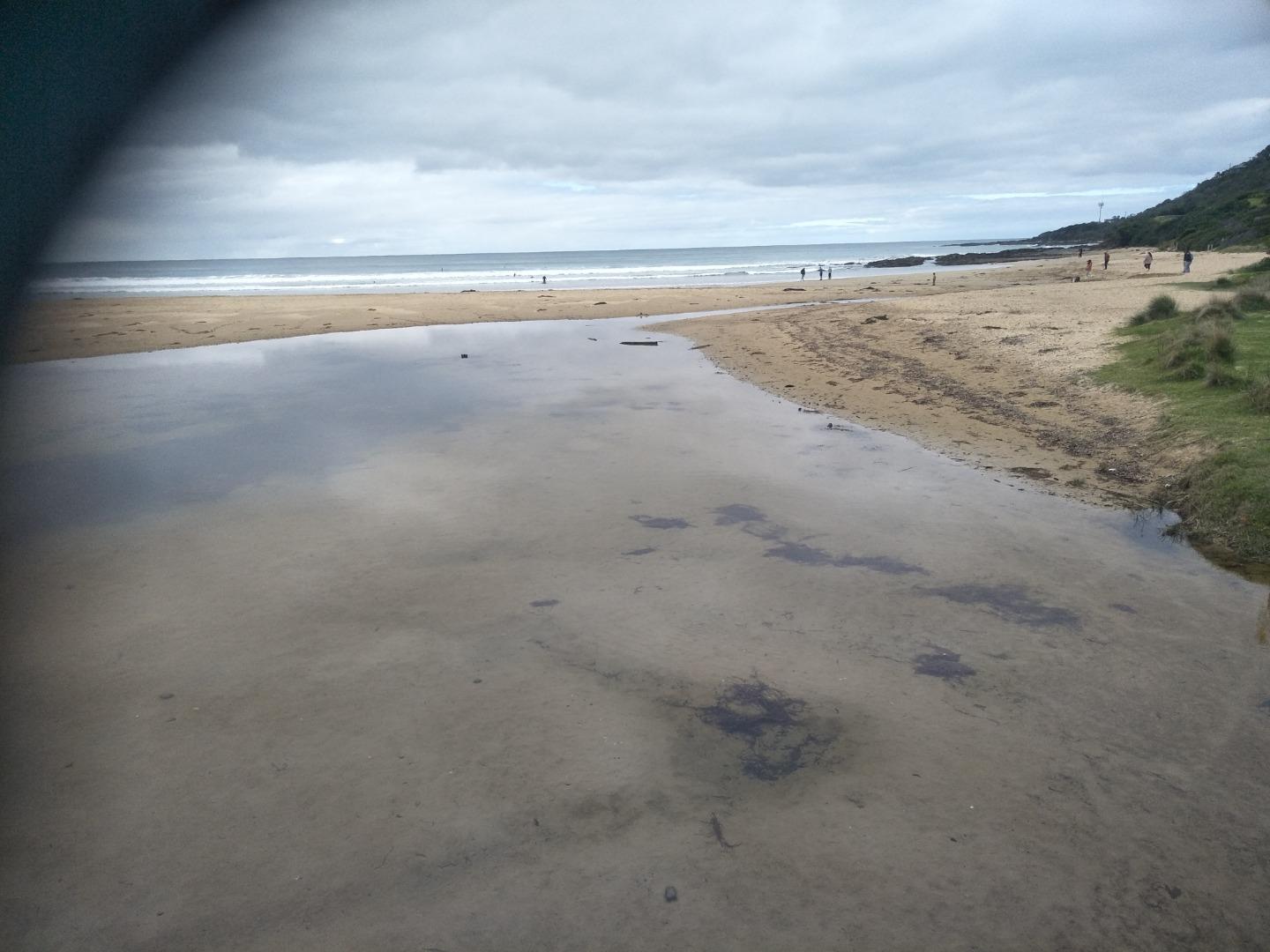
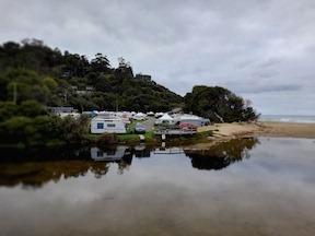
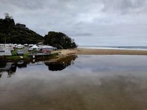
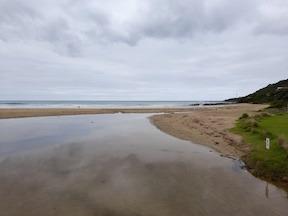
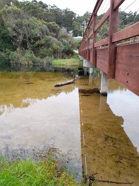
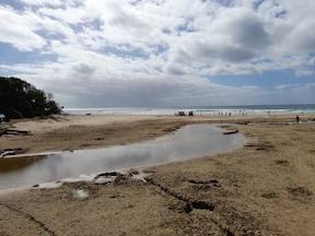
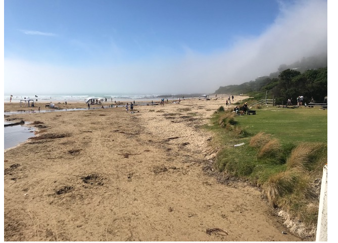
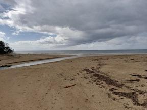
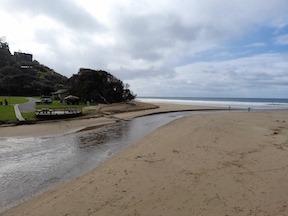
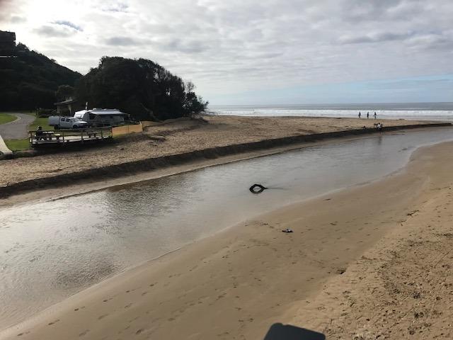
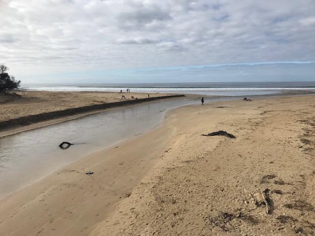
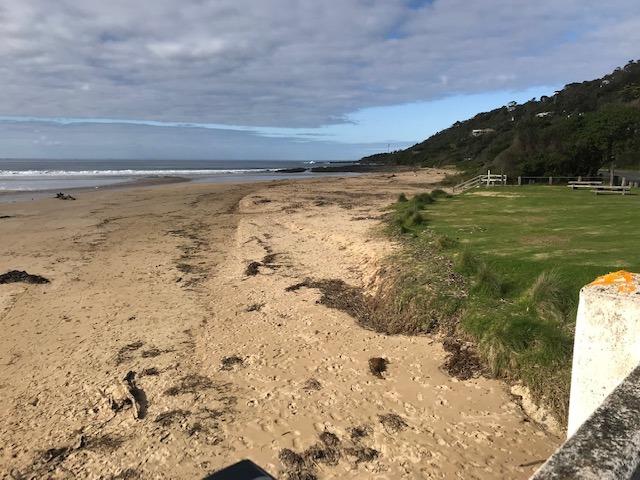
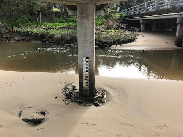
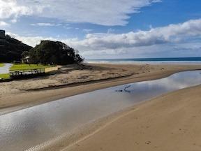
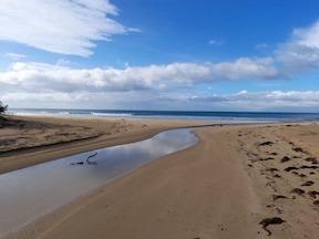
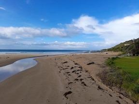
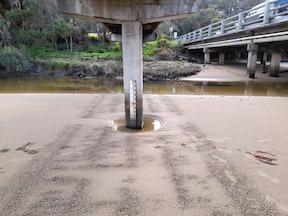
| #16124 | 21 Apr 2024 | Pending |
Notes:
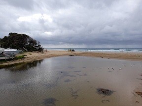
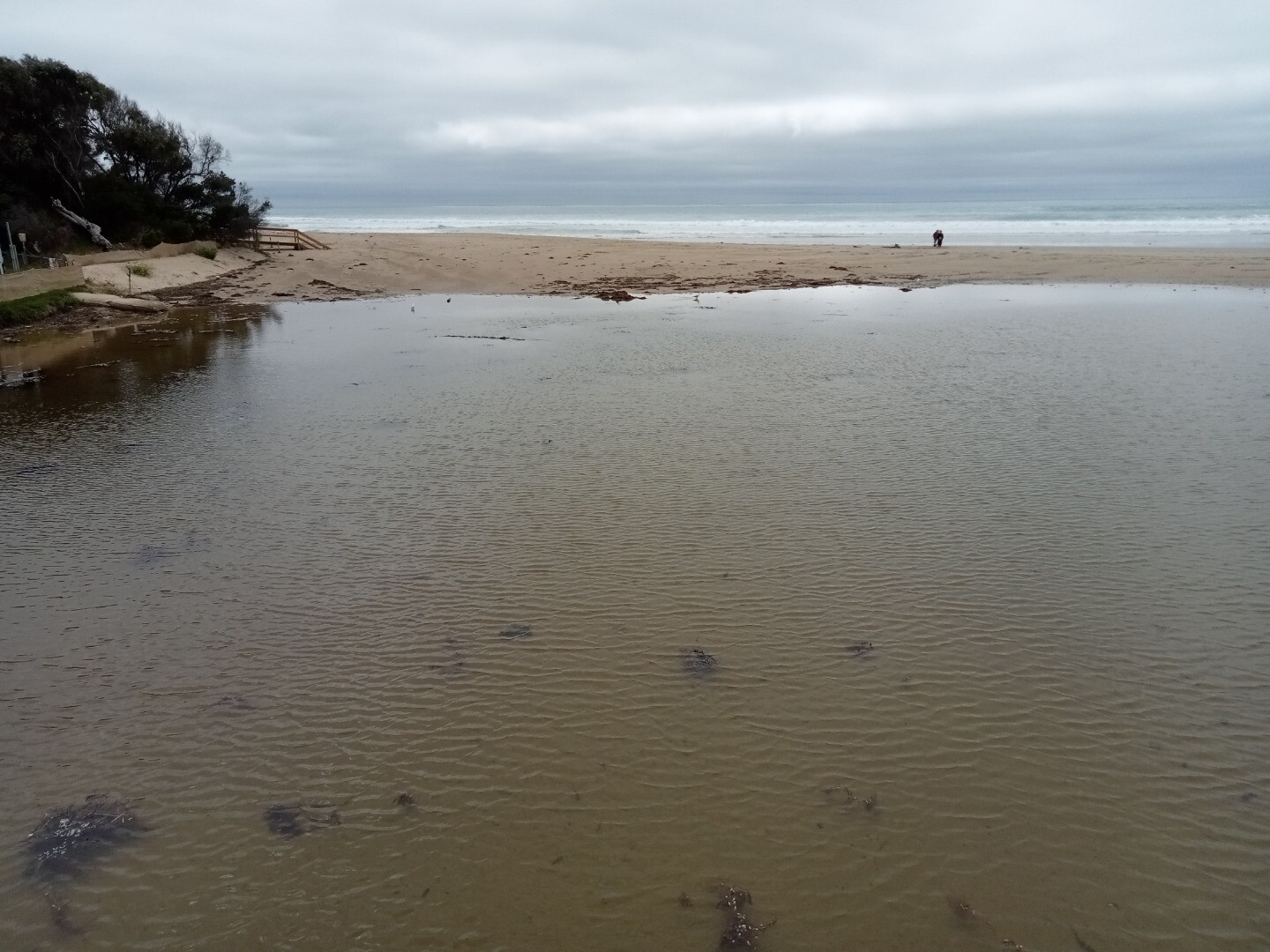
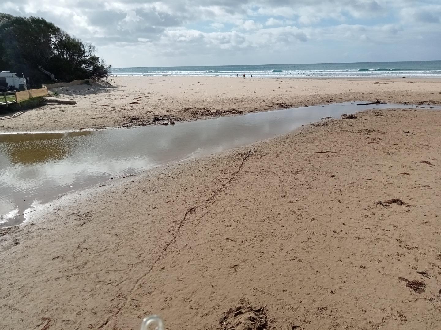
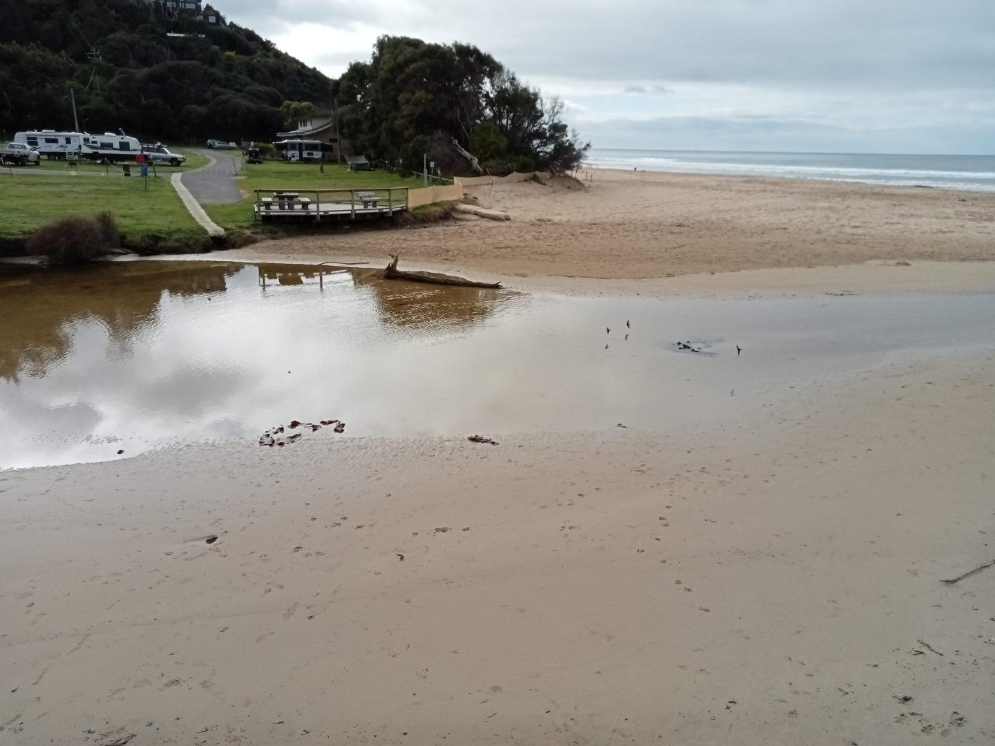
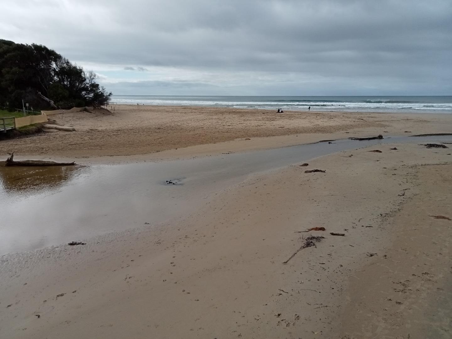
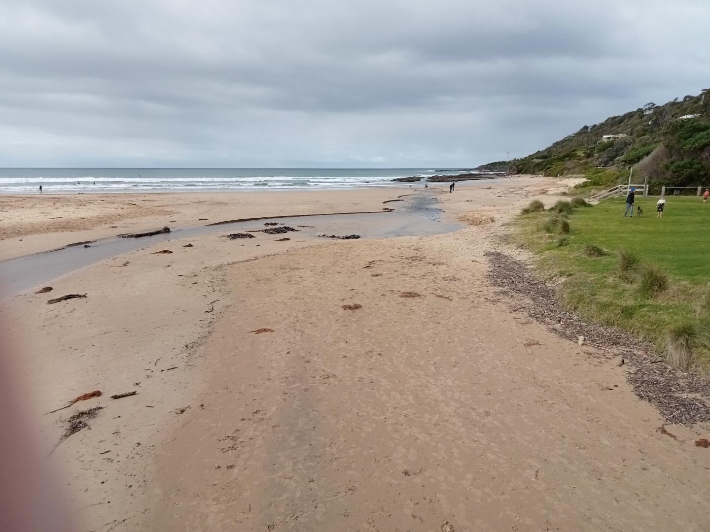
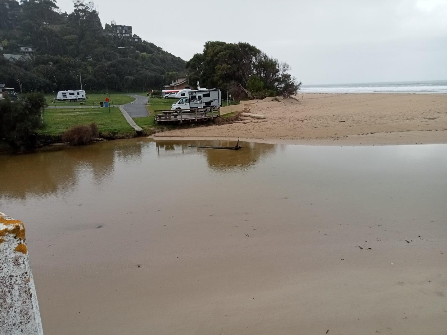
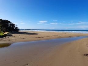
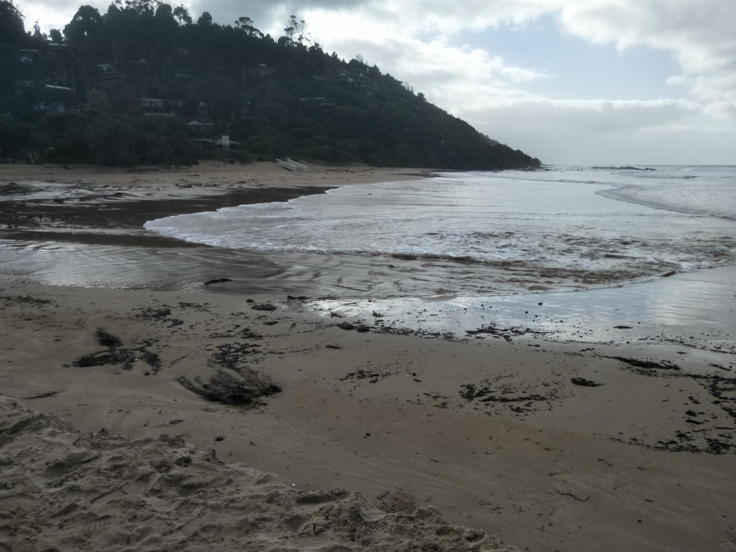
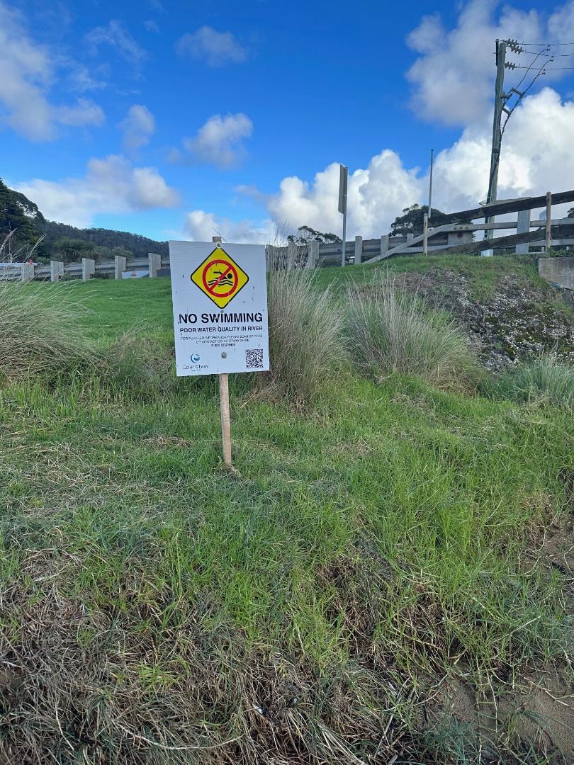
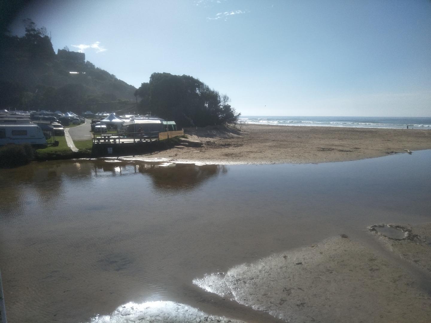
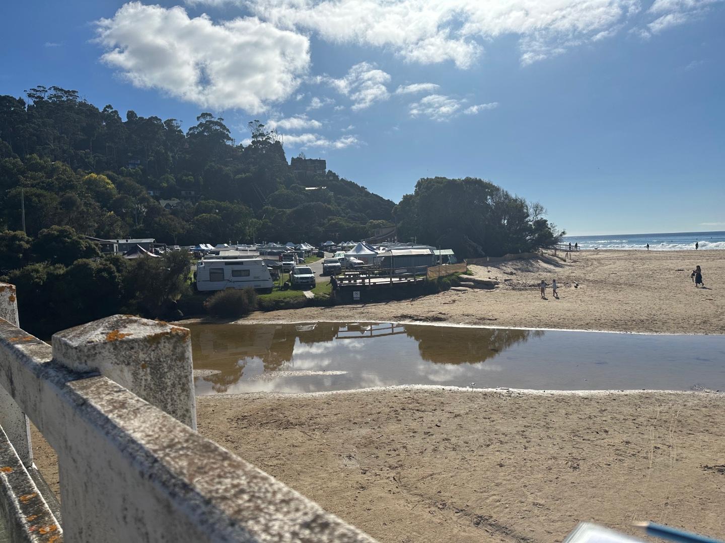
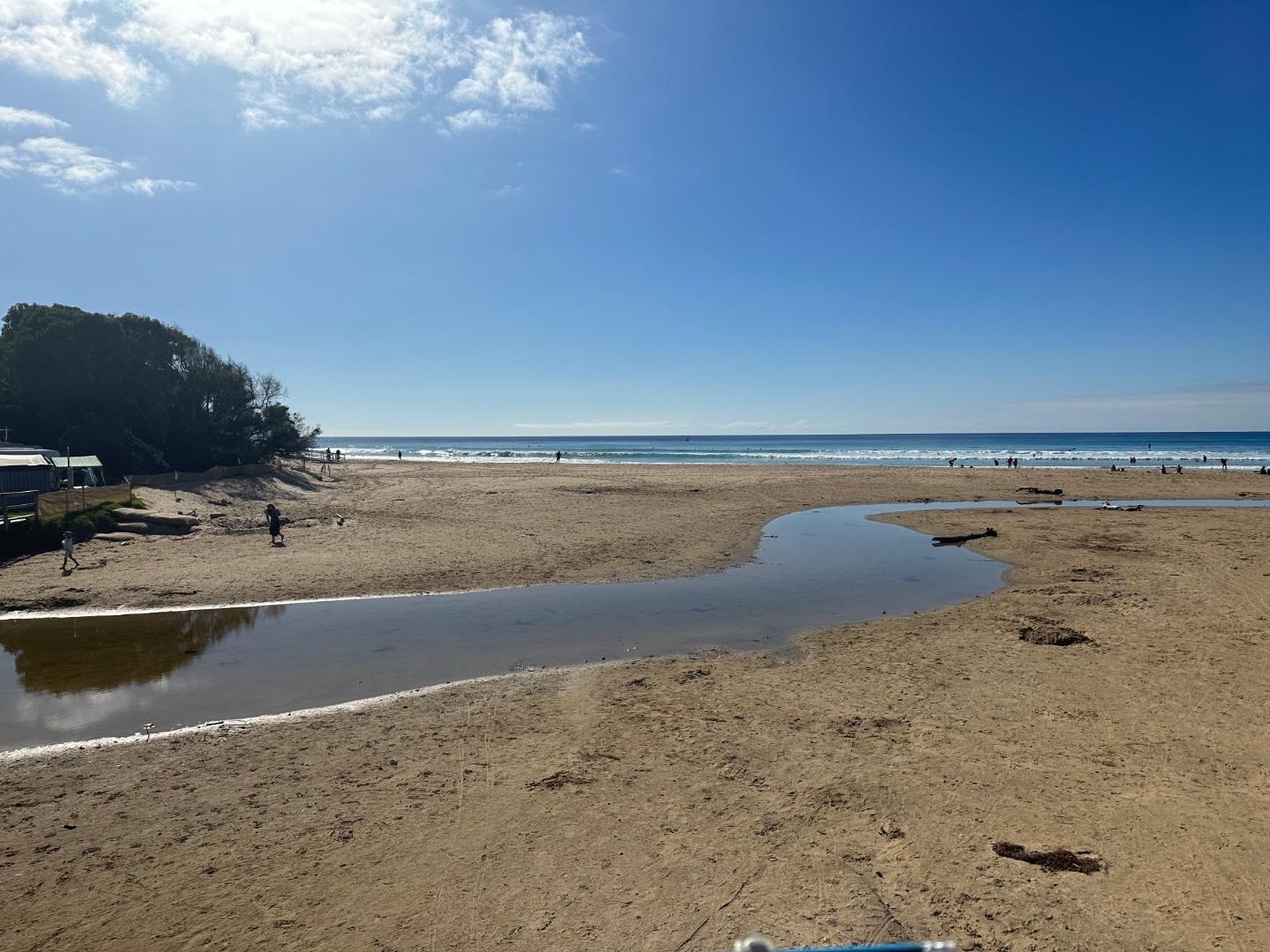
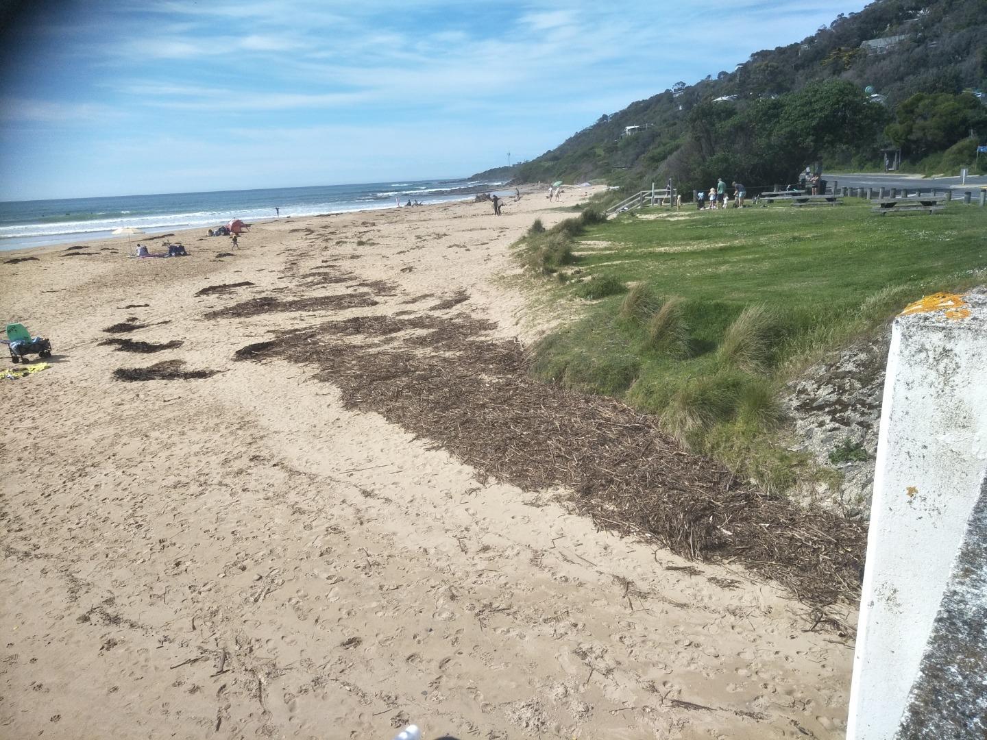
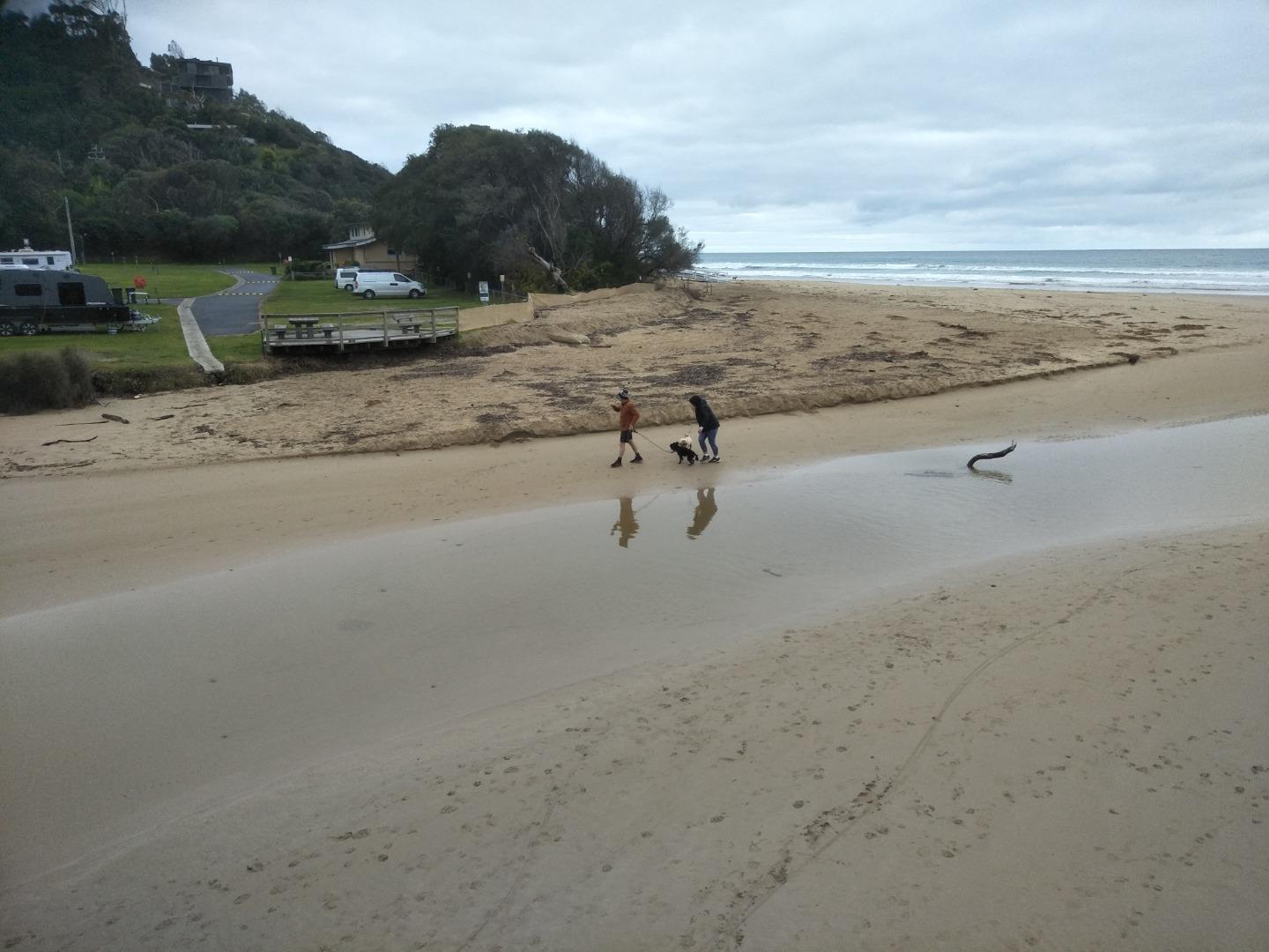
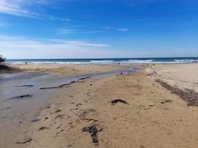
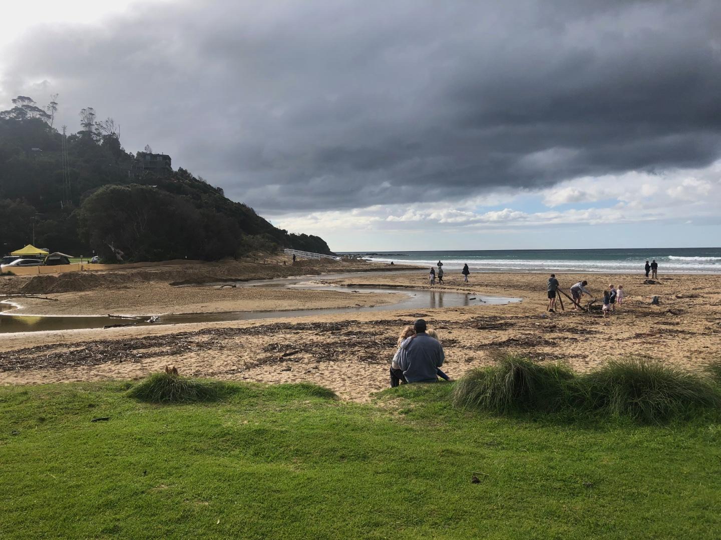
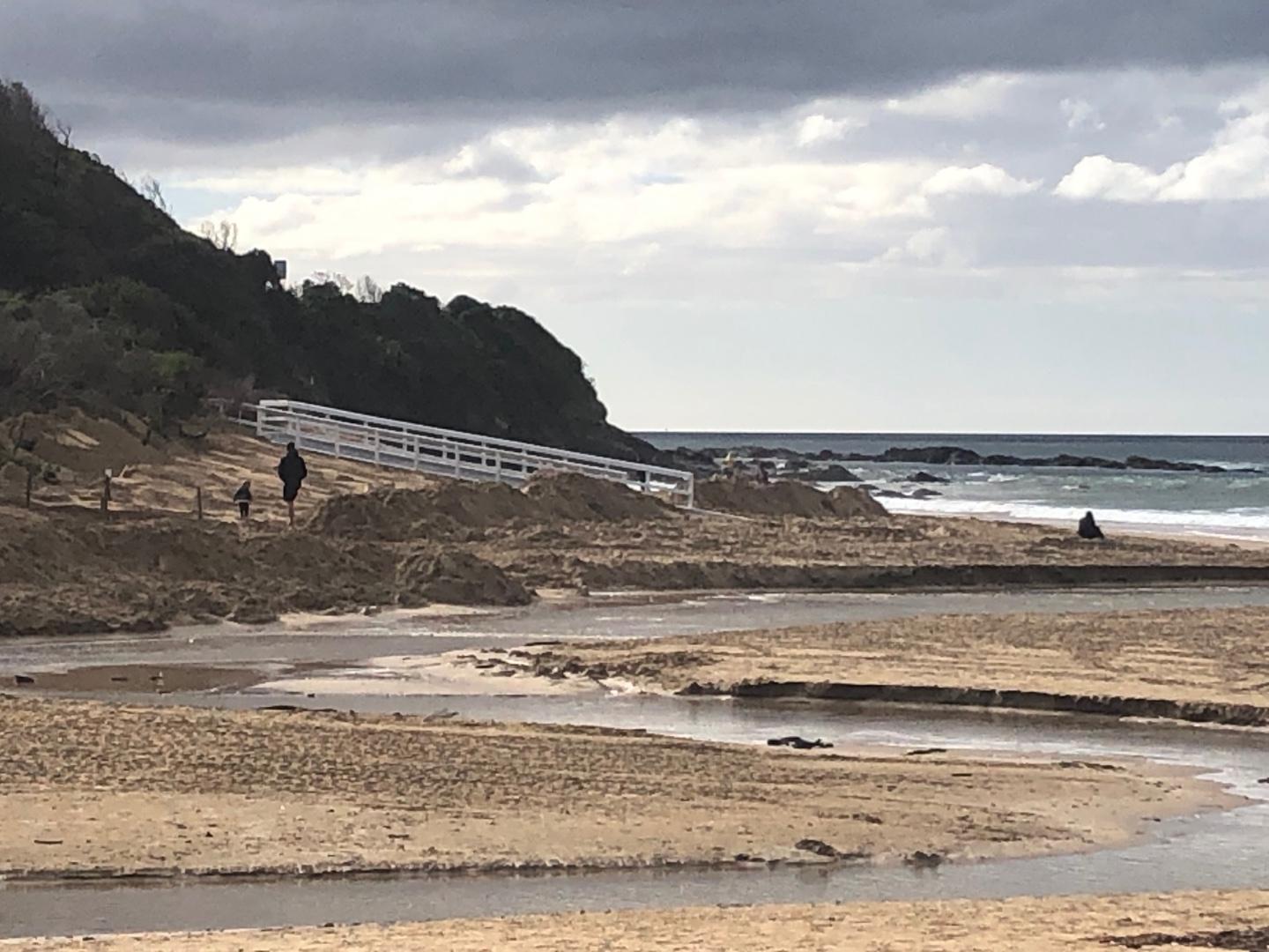
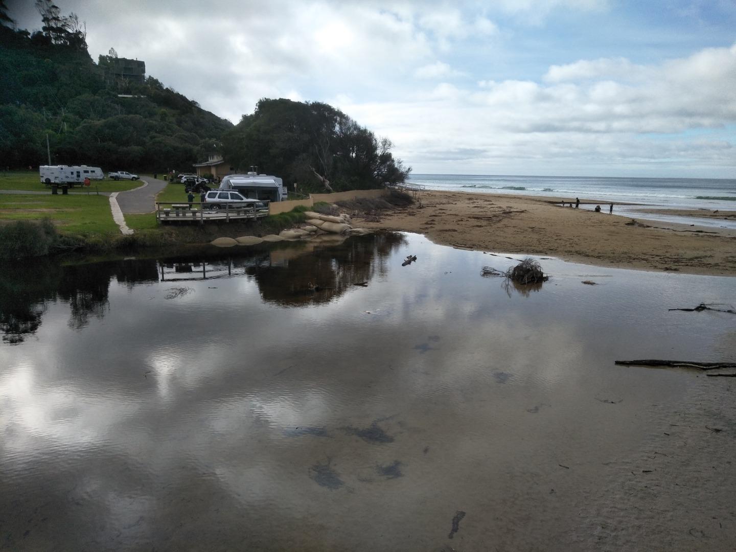
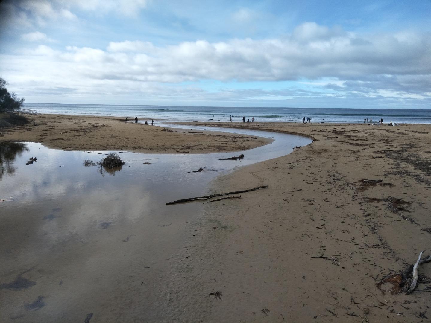
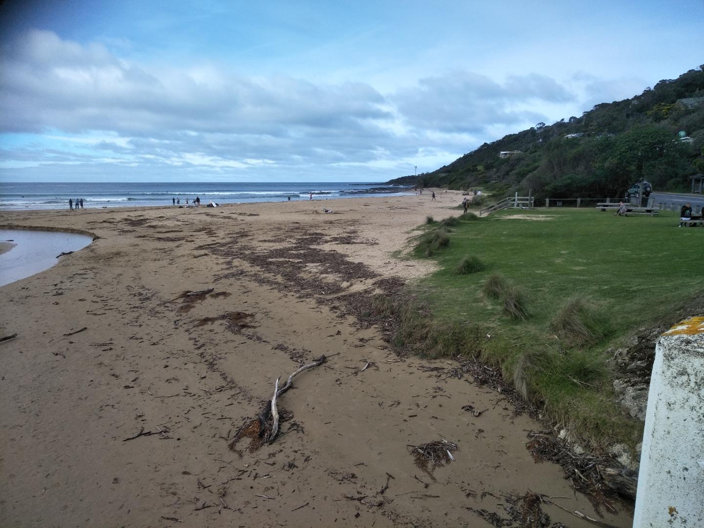
The photo point site was from the beach access - our usual site was unavailable, enclosed by security fences for the new bridge installation works. |
|
| #16104 | 7 Apr 2024 | Pending | ||
| #16062 | 17 Mar 2024 | Pending | ||
| #16051 | 3 Mar 2024 | Pending | ||
| #16050 | 18 Feb 2024 | Pending |
    |
|
| #15996 | 4 Feb 2024 | Pending | ||
| #15992 | 21 Jan 2024 | Pending |
Notes:
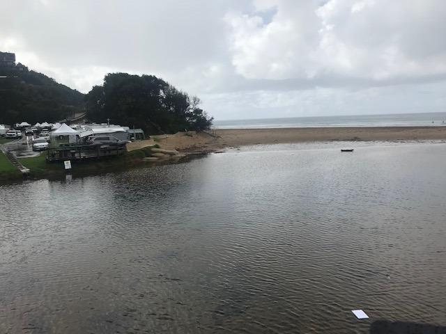
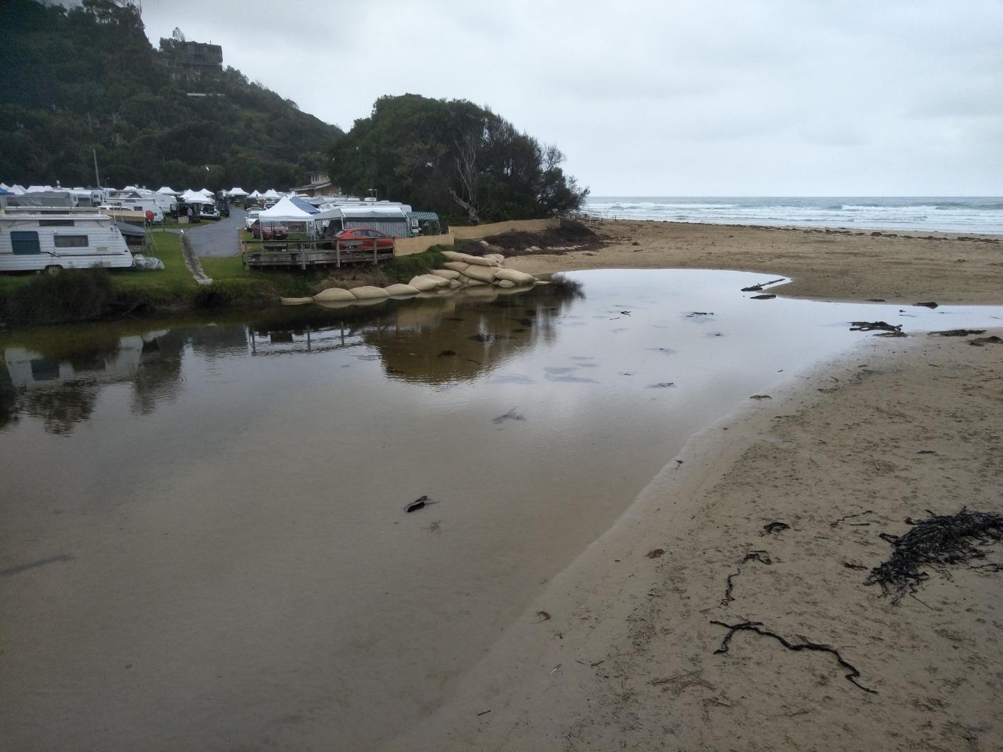
Lagoon is enlarged due to sand banking. |
|
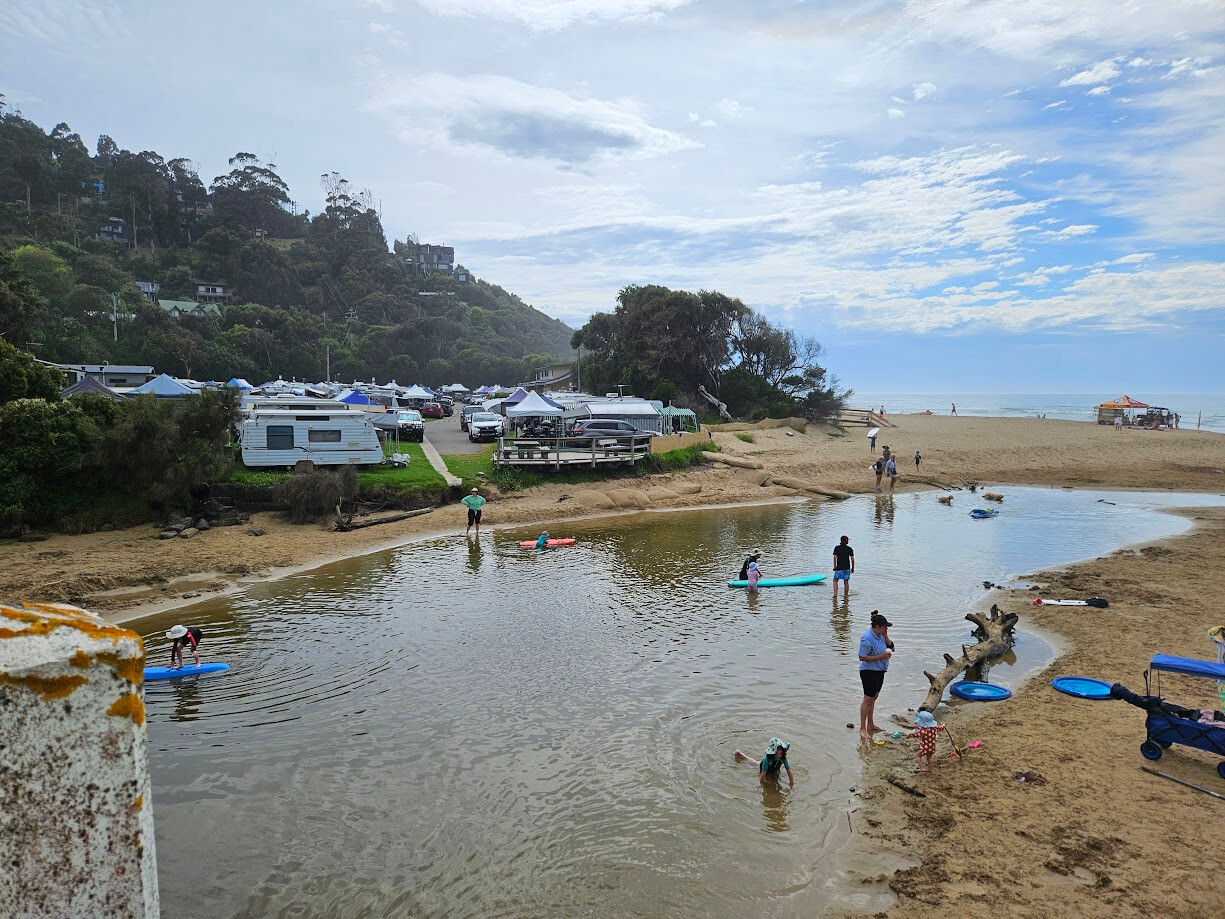
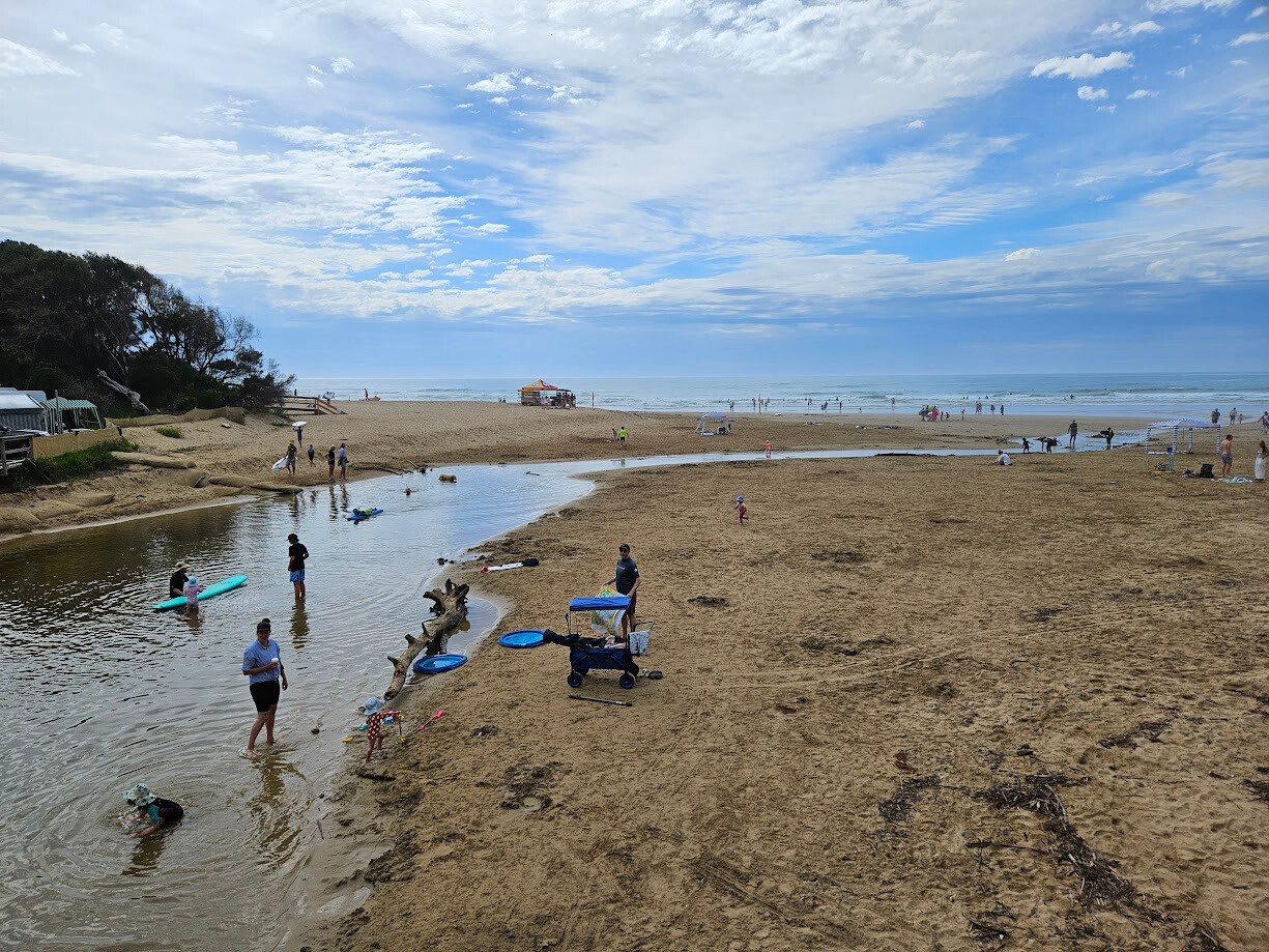
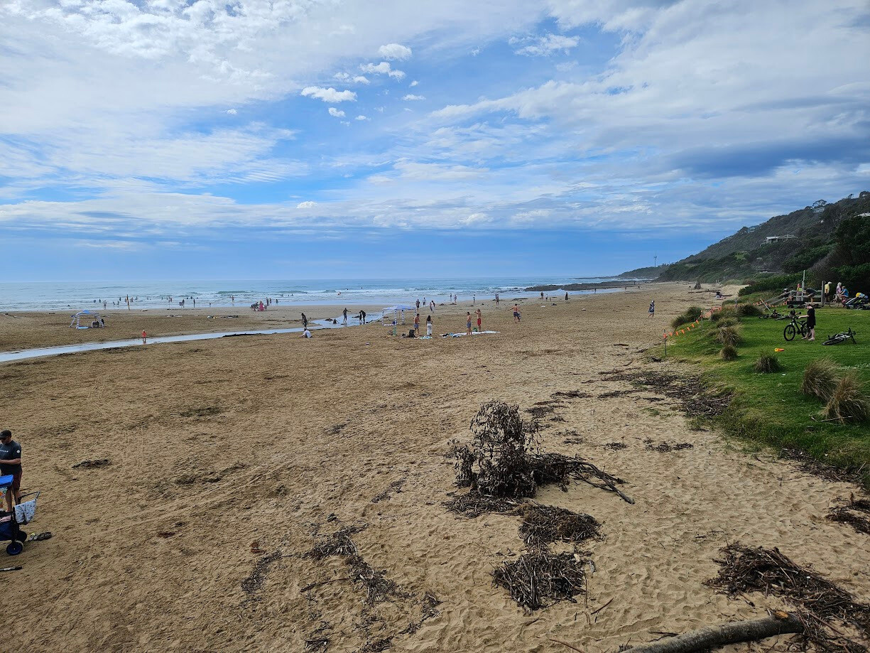
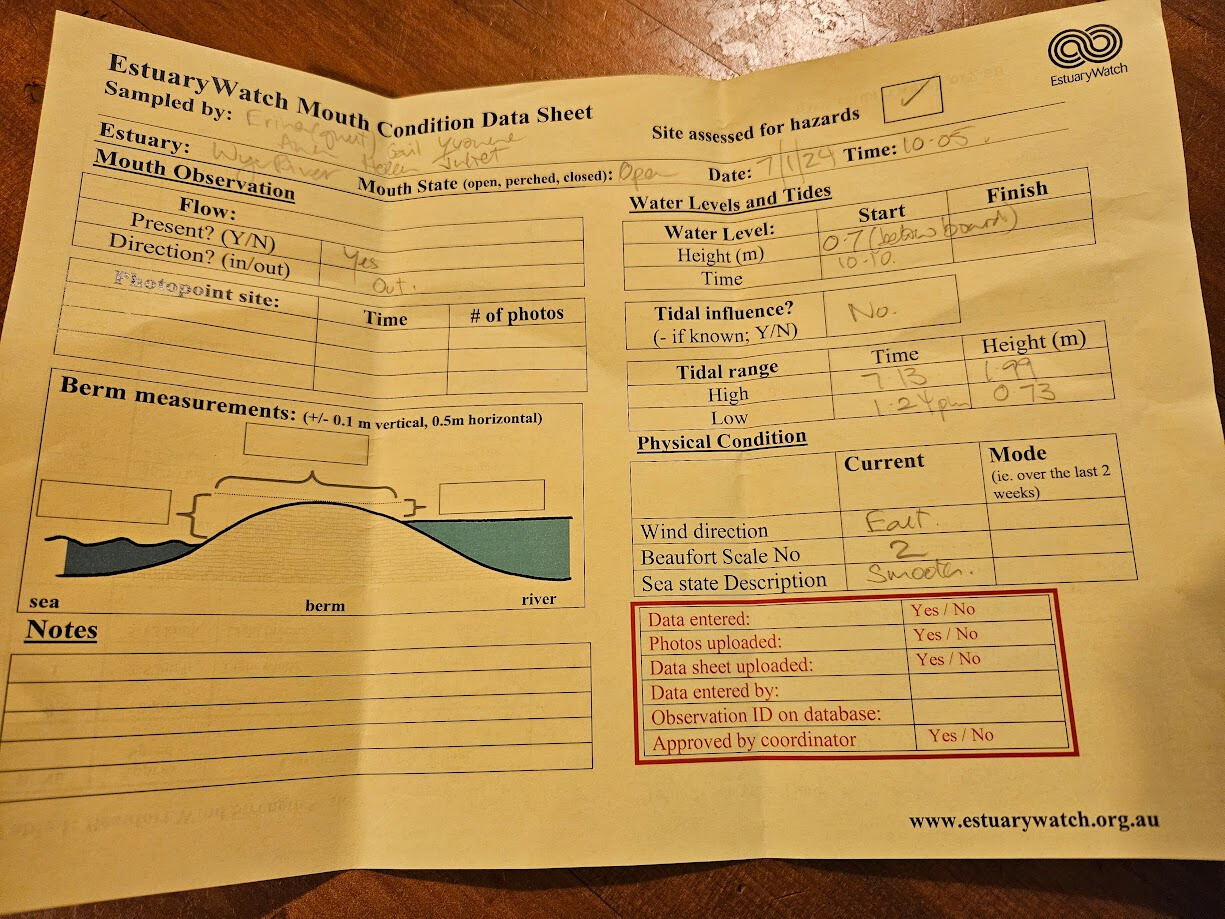
| #15948 | 7 Jan 2024 | Approved |
    |
|
| #15932 | 17 Dec 2023 | Approved | ||
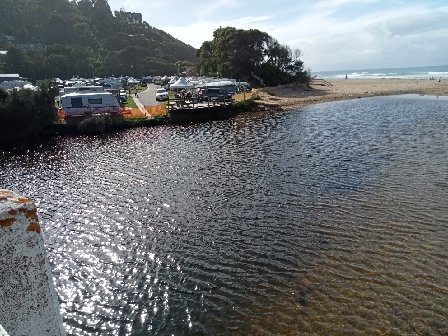
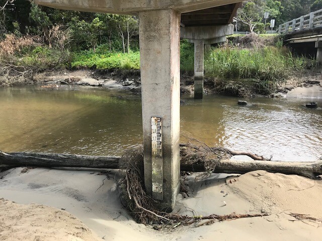
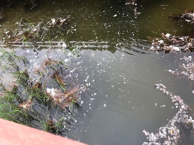
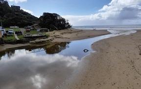
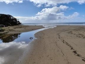
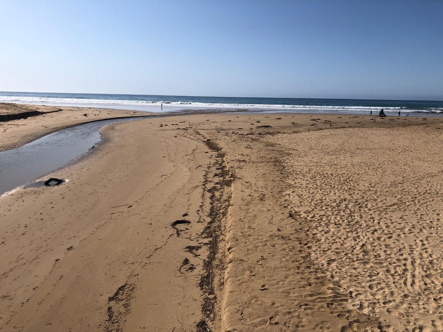
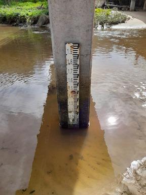
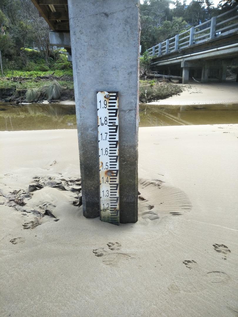
| #15889 | 3 Dec 2023 | Approved |
Notes:
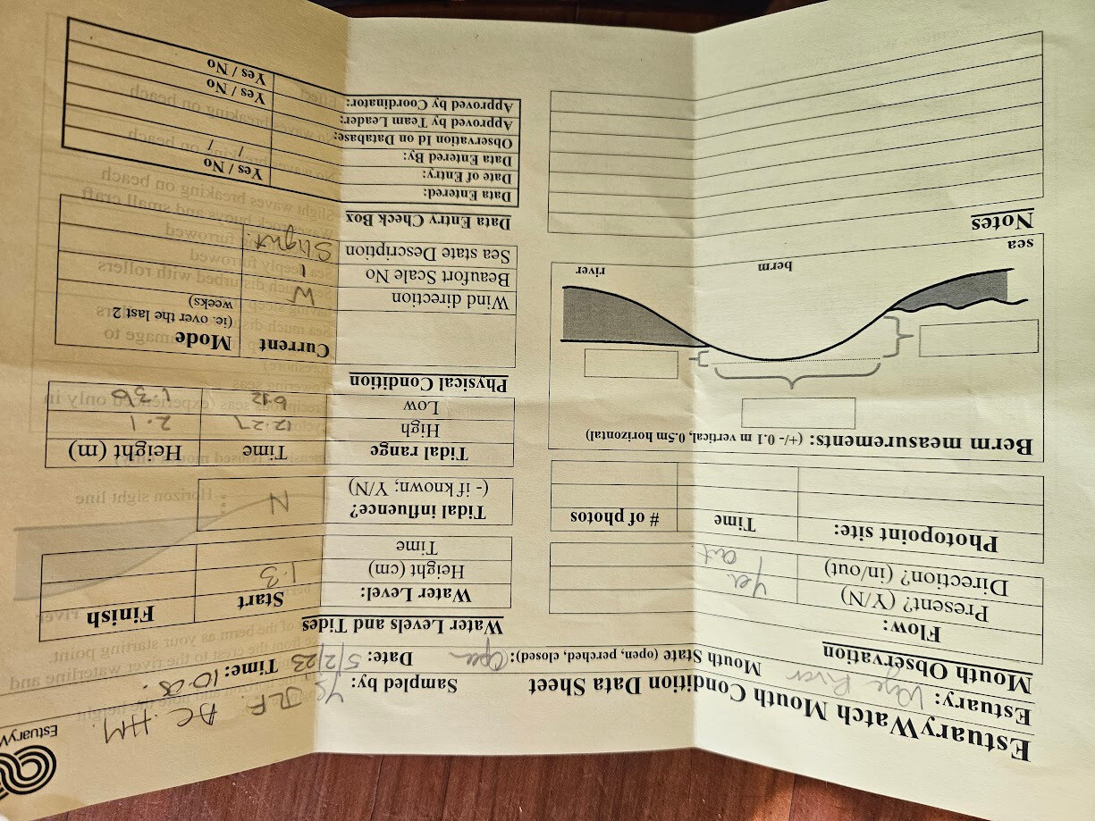
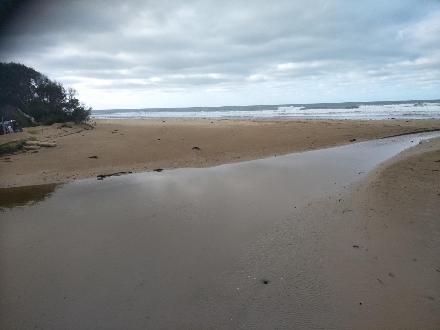
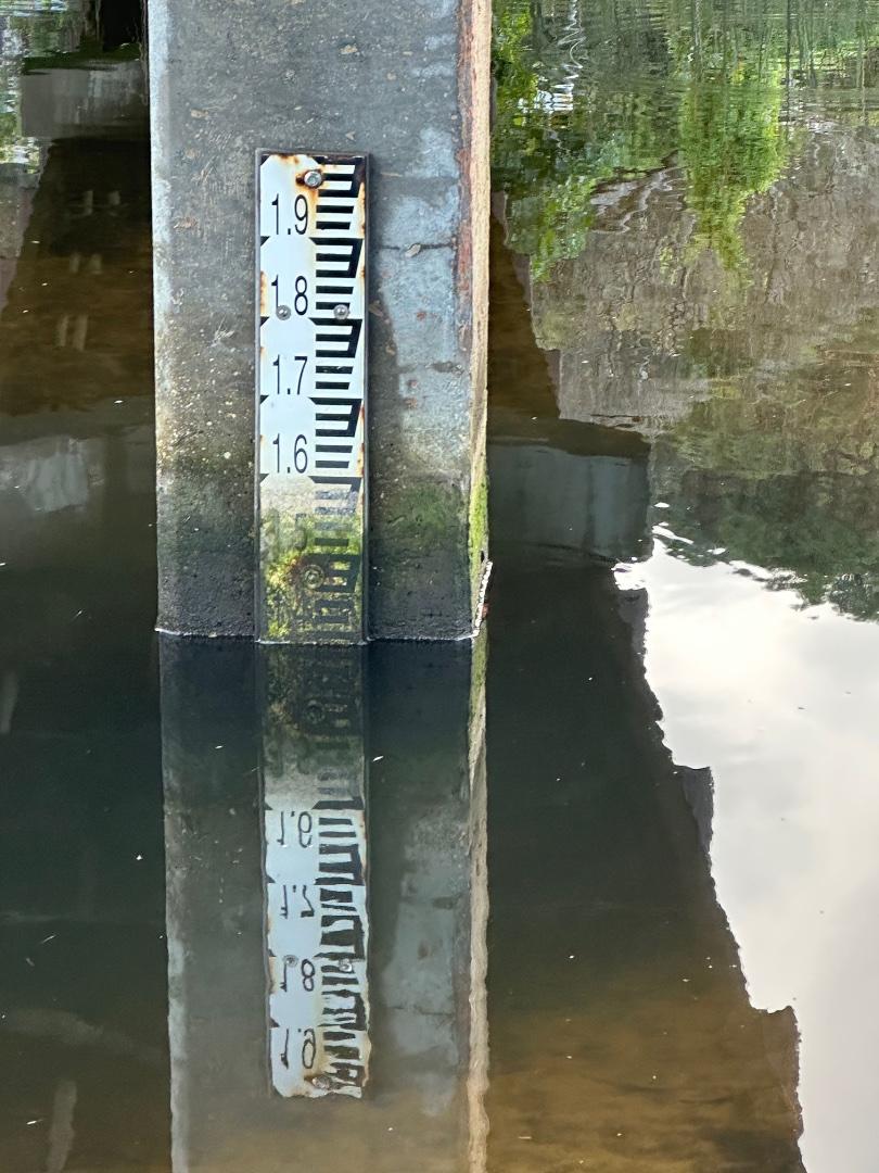
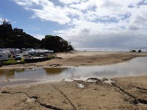
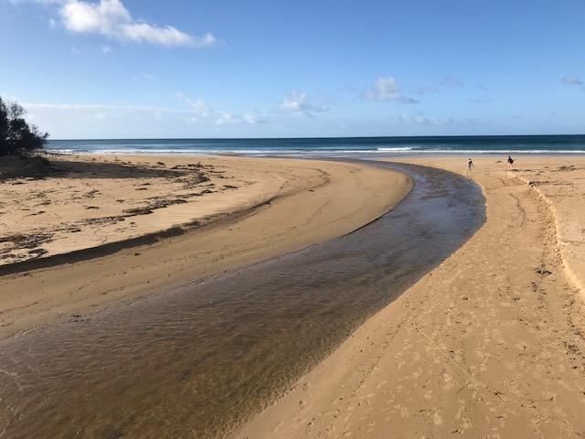
Gauge on river is above the water level. i.e.high and dry. See photo. The river channel has been changing dramatically in the past week, see photo. Upstream of the bridge the riverbank and beach are muddy and vegetation has been transported downstream. |
|
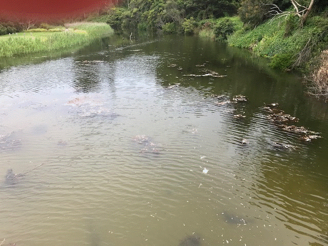
| #15885 | 19 Nov 2023 | Approved |
Notes:
Observed debris flow from up-river under the bridge - photos attached. |
|
| #15832 | 5 Nov 2023 | Approved |
    |
|
| #15802 | 15 Oct 2023 | Approved | ||
| #15790 | 1 Oct 2023 | Approved | ||
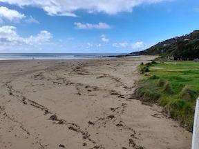
| #15755 | 16 Sep 2023 | Approved |
Notes:
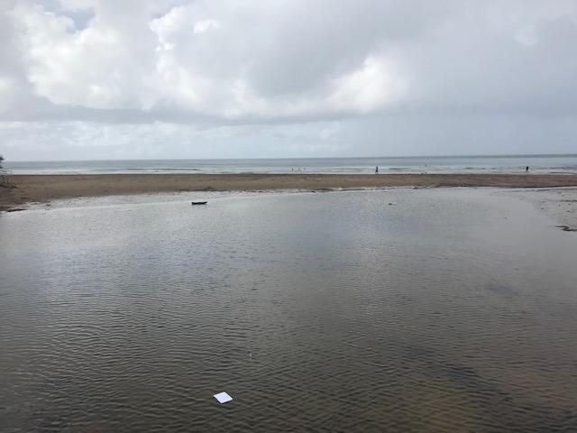
Photo 4 is recording extreme erosion and loss of sand along river banks. |
|
| #15734 | 3 Sep 2023 | Approved | ||
| #15719 | 20 Aug 2023 | Approved | ||
| #15698 | 5 Aug 2023 | Approved | ||
| #15664 | 16 Jul 2023 | Approved | ||
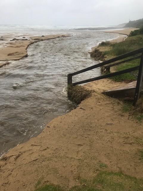
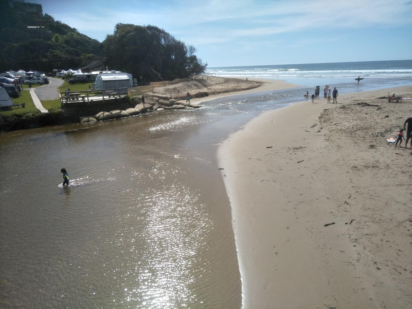
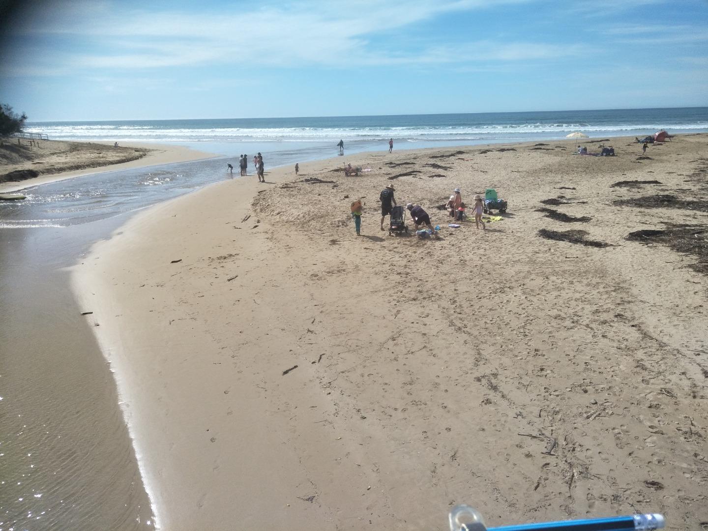
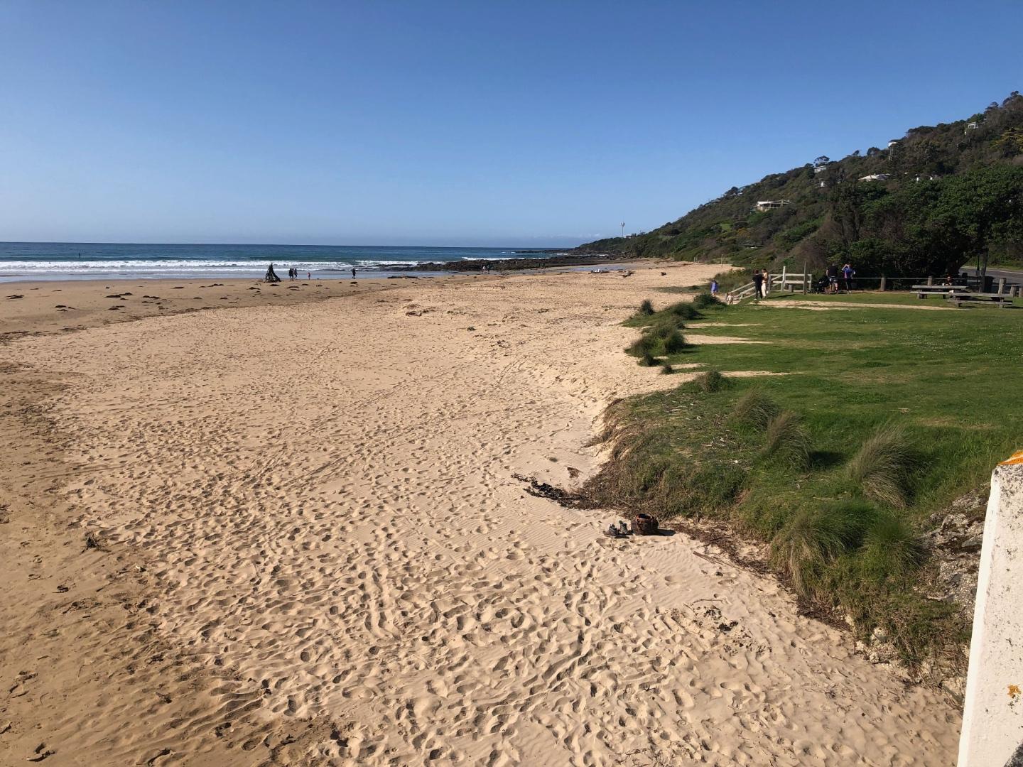
| #15618 | 2 Jul 2023 | Approved |
Notes:
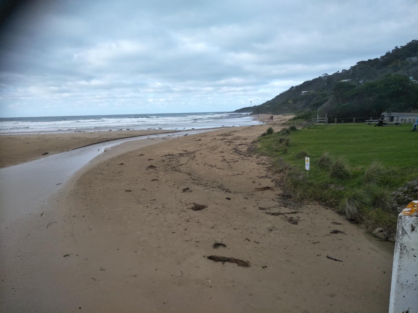
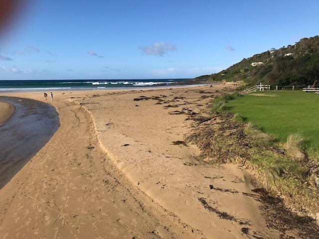
Lots of sand movement in the past few weeks. Sand deposited upstream of bridge, see photos attached. Also the river channel has been eroding the beach on the west side adjacent to the Great Ocean Road. In the past few weeks there have been some steep sand banks however these have eroded down. Estuary Watch coincided with high tide. |
|
| #15590 | 18 Jun 2023 | Approved | ||
| #15565 | 4 Jun 2023 | Approved | ||
| #15547 | 21 May 2023 | Approved | ||
| #15515 | 7 May 2023 | Approved | ||
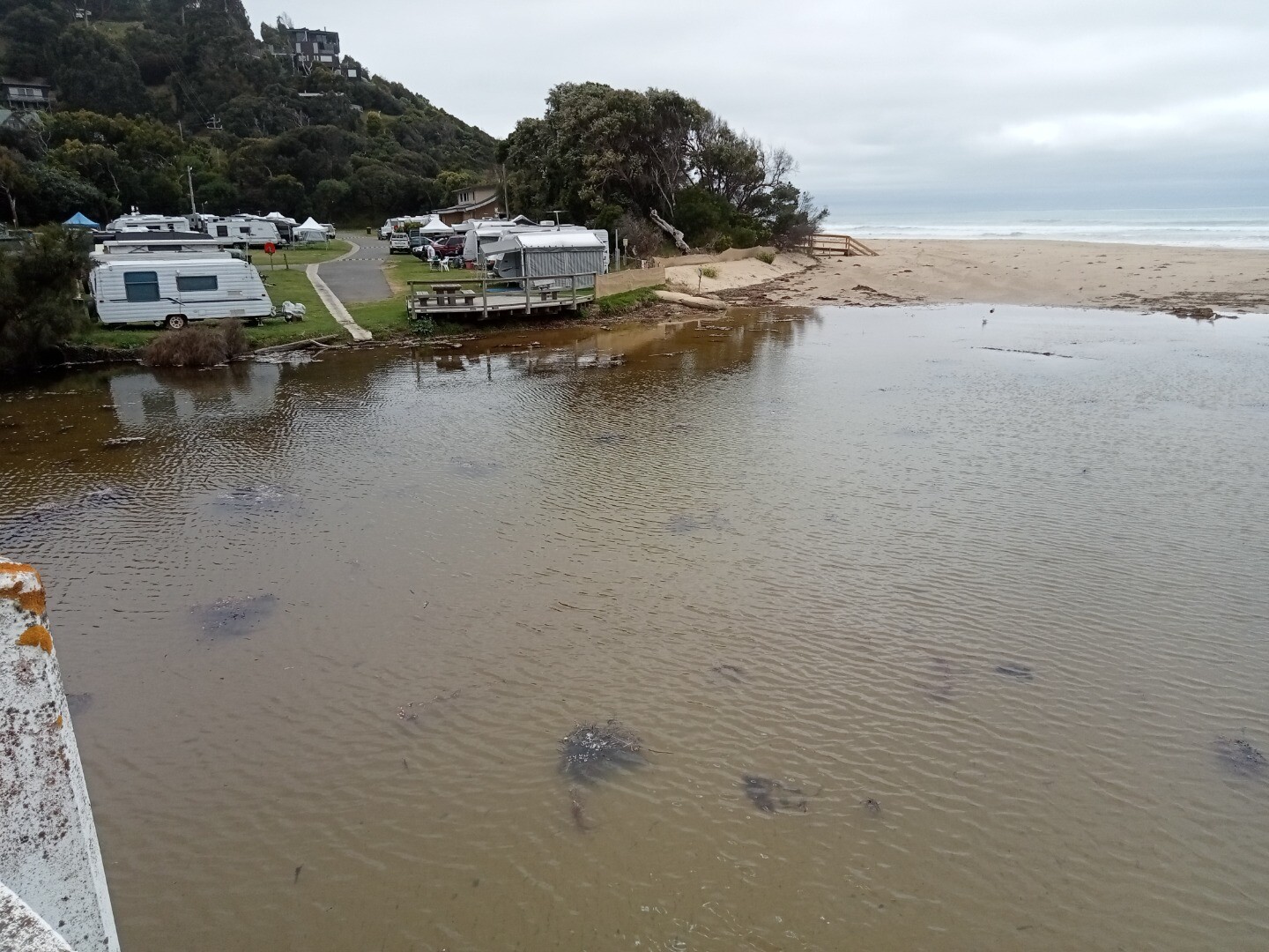
| #15466 | 16 Apr 2023 | Approved |
Notes:
No wind when we were recording the data hence cannot state a wind direction. The estuary has a very large pool of water upstream and downstream of the bridge. The river has carved a bank into the beach in front of the store. Mack Cheney attended today. |
|
| #15456 | 2 Apr 2023 | Approved | ||
| #15365 | 19 Mar 2023 | Approved |
Notes:
The Wye River was very wide and we experienced difficulty in reading the gauge. Access was problematic. The level was halfway up the gauge ( we dropped a stick to check and test the level) but it was difficult to decipher the reading, even on the attached photo. The Beaufort Wind strength No was 0, and Calm. |
|
| #15348 | 5 Mar 2023 | Approved | ||
| #15292 | 19 Feb 2023 | Approved |
Notes:
|
|
| #15833 | 5 Feb 2023 | Approved |
    |
|
| #15224 | 15 Jan 2023 | Approved | ||
| #15212 | 1 Jan 2023 | Approved |
Notes:
Amazing sea fog this morning, can see some of it in photo 3. Warning sign about e coli had been turned over. Maybe due to low levels reported in October and November. |
|
| #15189 | 18 Dec 2022 | Approved | ||
| #15155 | 4 Dec 2022 | Approved | ||
| #15147 | 20 Nov 2022 | Approved |
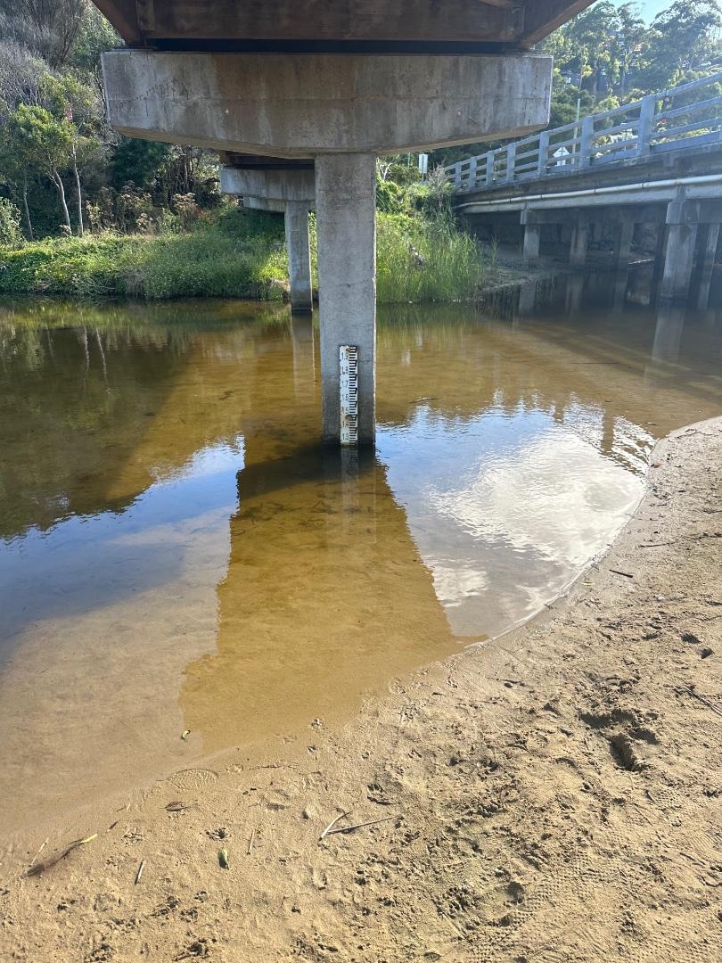
Notes:
Water level is not available. The gauge requires repositioning. |
|
| #15114 | 6 Nov 2022 | Approved |
Notes:
Depth gauge in sand above water level. |
|
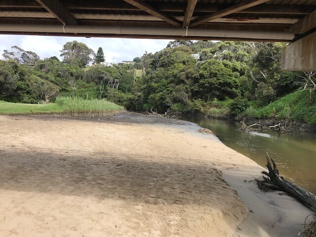
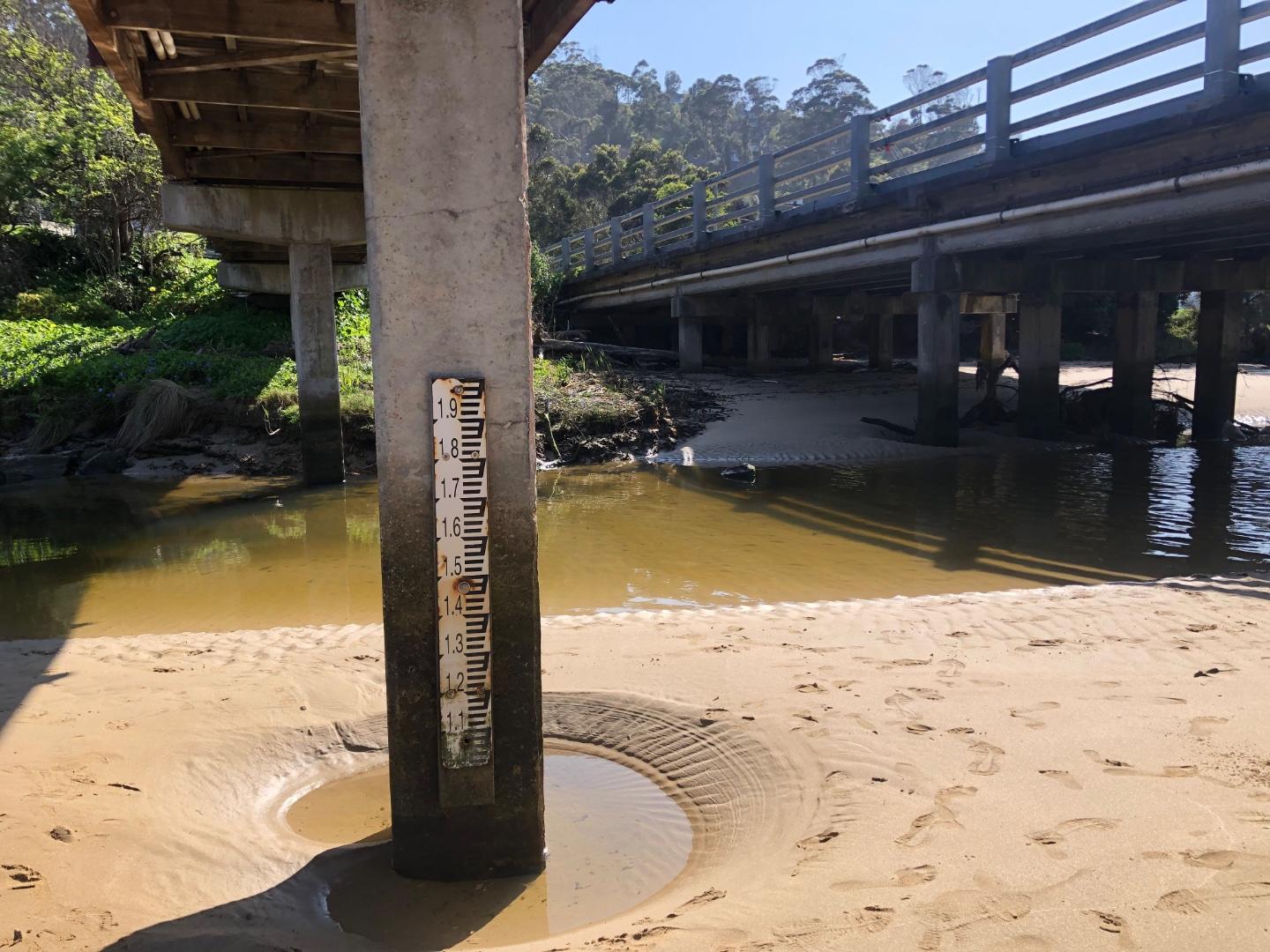
| #15075 | 16 Oct 2022 | Approved |
Notes:
The water level was well below the depth gauge. We request a new location when the new bridge is constructed. |
|
| #15055 | 2 Oct 2022 | Approved |
Notes:
Water level - marker buried in sand , photo attached |
|
| #15029 | 18 Sep 2022 | Approved |
Notes:
The water level is below the gauge. |
|
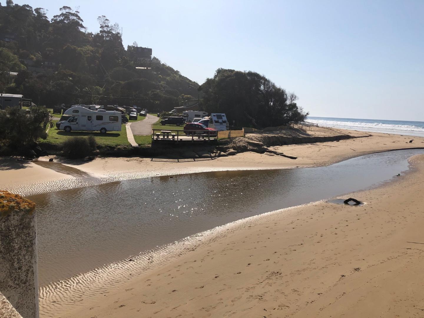
| #15040 | 4 Sep 2022 | Approved |
Notes:
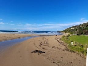
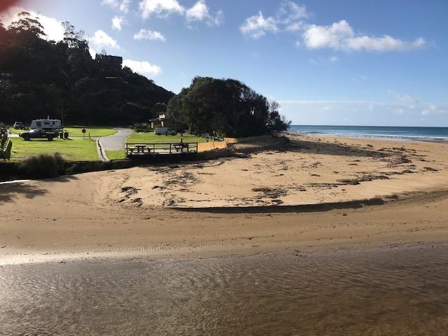
Beach upstream of bridge continues to grow! |
|
| #14961 | 21 Aug 2022 | Approved |
Notes:
No water flowing at river gauge, so cannot ascertain the level. Large sandbank has reappeared upstream of the bridge. River channel has headed to the southern end of the beach. |
|
| #14941 | 7 Aug 2022 | Approved |
Notes:
Water level below depth gauge. |
|
| #14891 | 17 Jul 2022 | Approved |
Notes:
River water level below the gauge- see photo.Wyp2 - 4 |
|
| #14866 | 3 Jul 2022 | Approved |
Notes:
River water level below gauge. |
|
| #14752 | 19 Jun 2022 | Approved |
Notes:
Wye river well below the water level gauge. |
|
| #14741 | 5 Jun 2022 | Approved | ||
| #14678 | 15 May 2022 | Approved |
Notes:
Dune restoration - sand has been moved from the south side of the beach to north side and the north side of the river - see photos 1,2,3 |
|
| #14642 | 1 May 2022 | Approved | ||
| #14607 | 17 Apr 2022 | Approved | ||
| #14576 | 3 Apr 2022 | Approved | ||


All content, files, data and images provided by the EstuaryWatch Data Portal and Gallery are subject to a Creative Commons Attribution License
Content is made available to be used in any way, and should always attribute EstuaryWatch and www.estuarywatch.org.au