EstuaryWatch Data Portal
AiMC Aire River Estuary Mouth Observation Site
Active Mouth Condition 24-02-2024 - 27-04-2024Aire River Estuary
4 results found (Displaying 1 - 4)
| ID | Date | Status | Details | |
|---|---|---|---|---|
| #16141 | 27 Apr 2024 | Pending |
Notes:
River was just outflowing on arrival at site, then rising tide was inflowing by 11:10. Traces of the excavated channel observed at last visit but quite silted up by tidal influence. River level had risen quite dramatically over the previous week from about .09m to 1.3m at Hordern Vale gauging station. 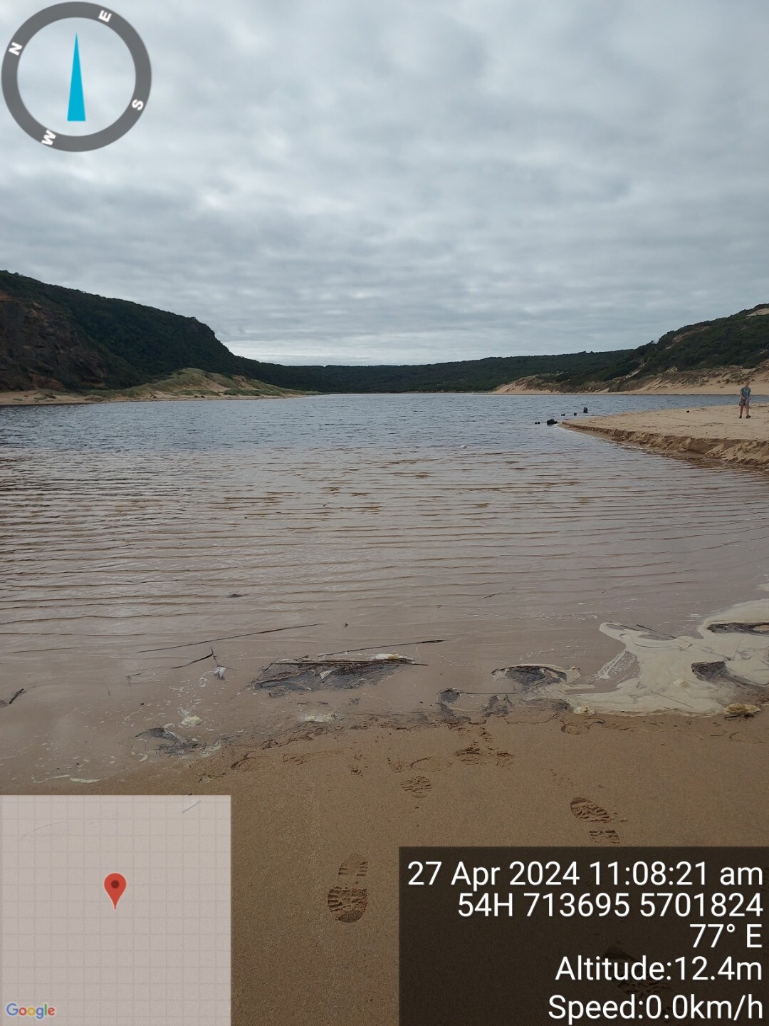 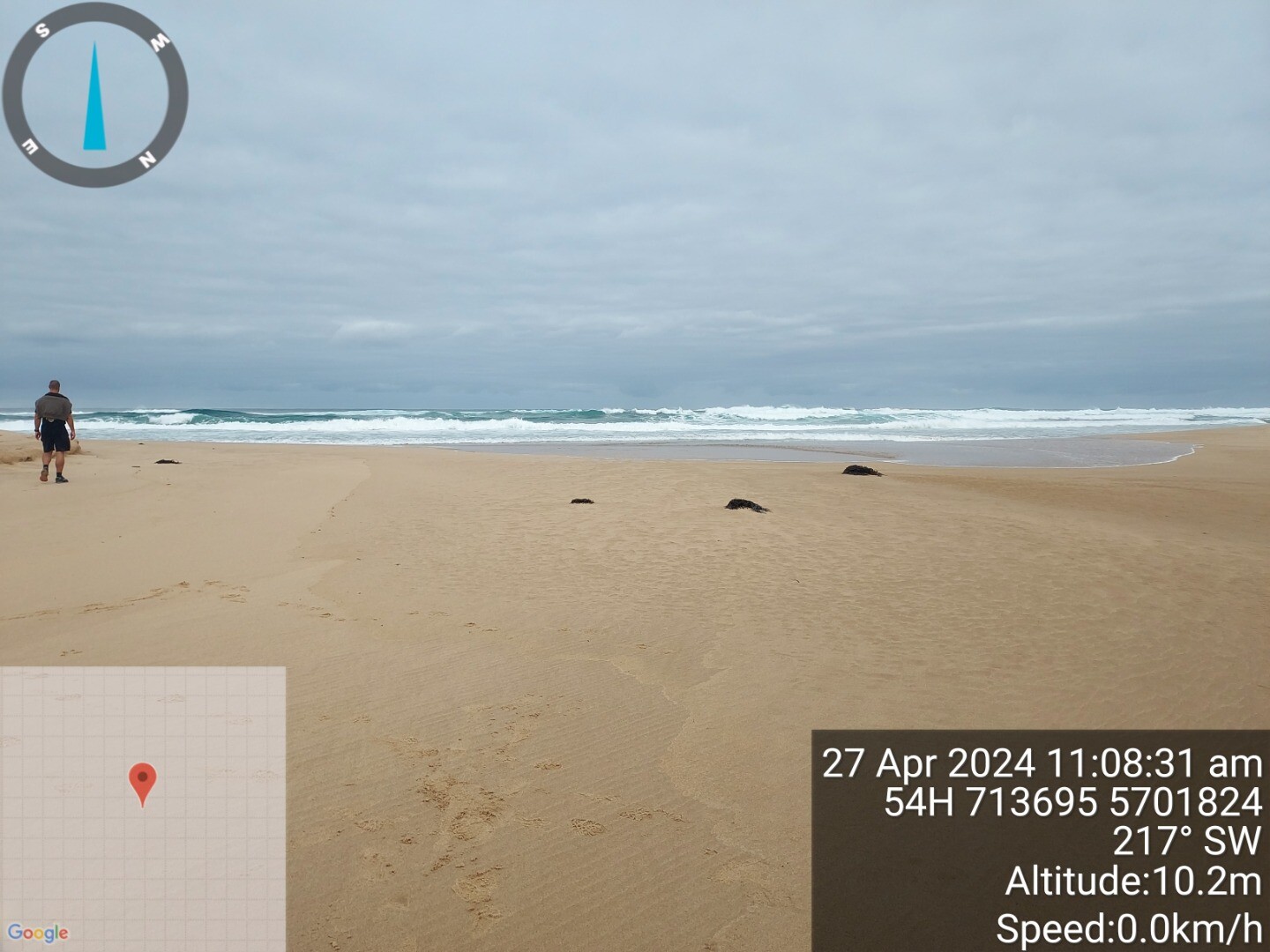 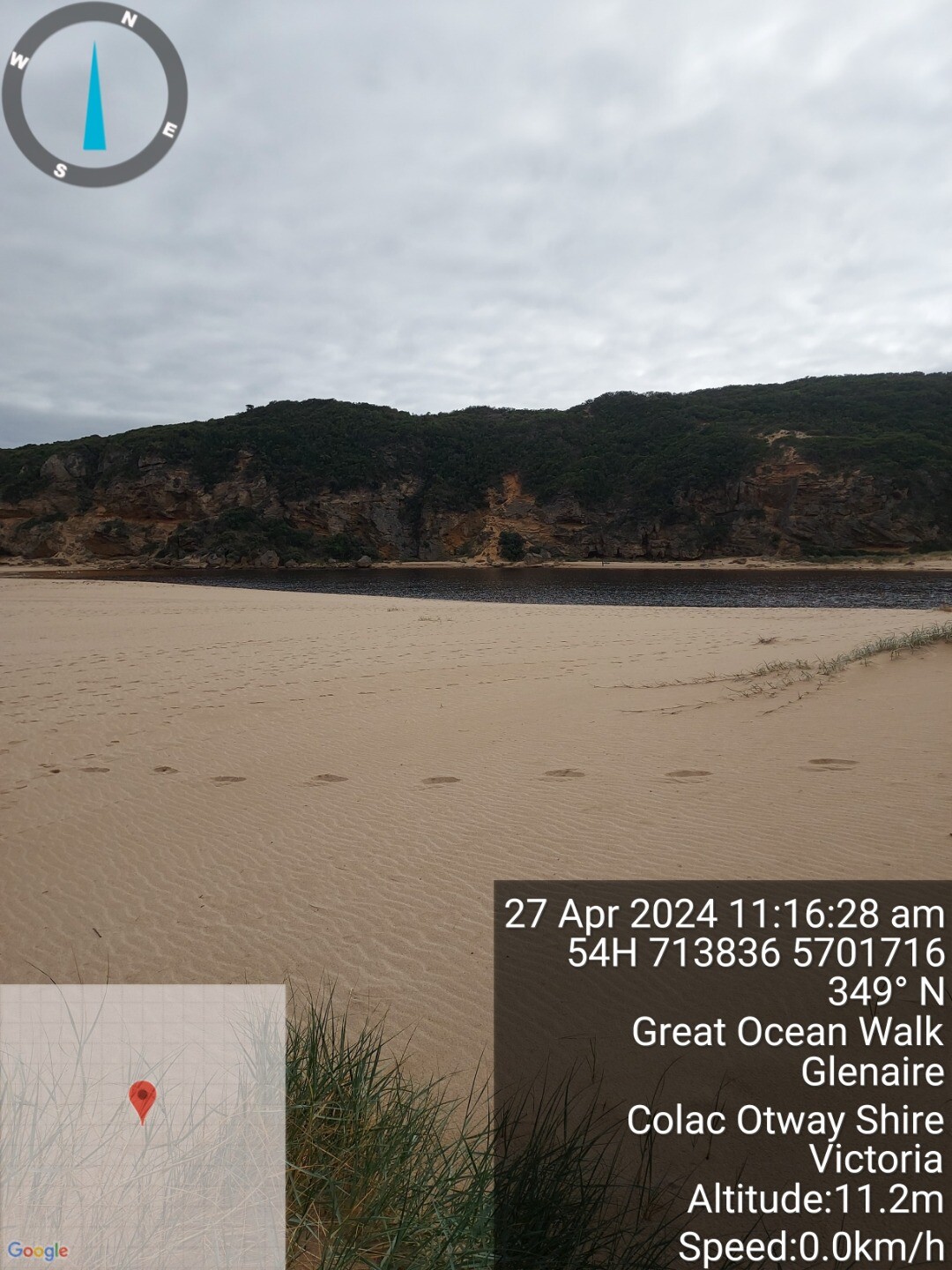 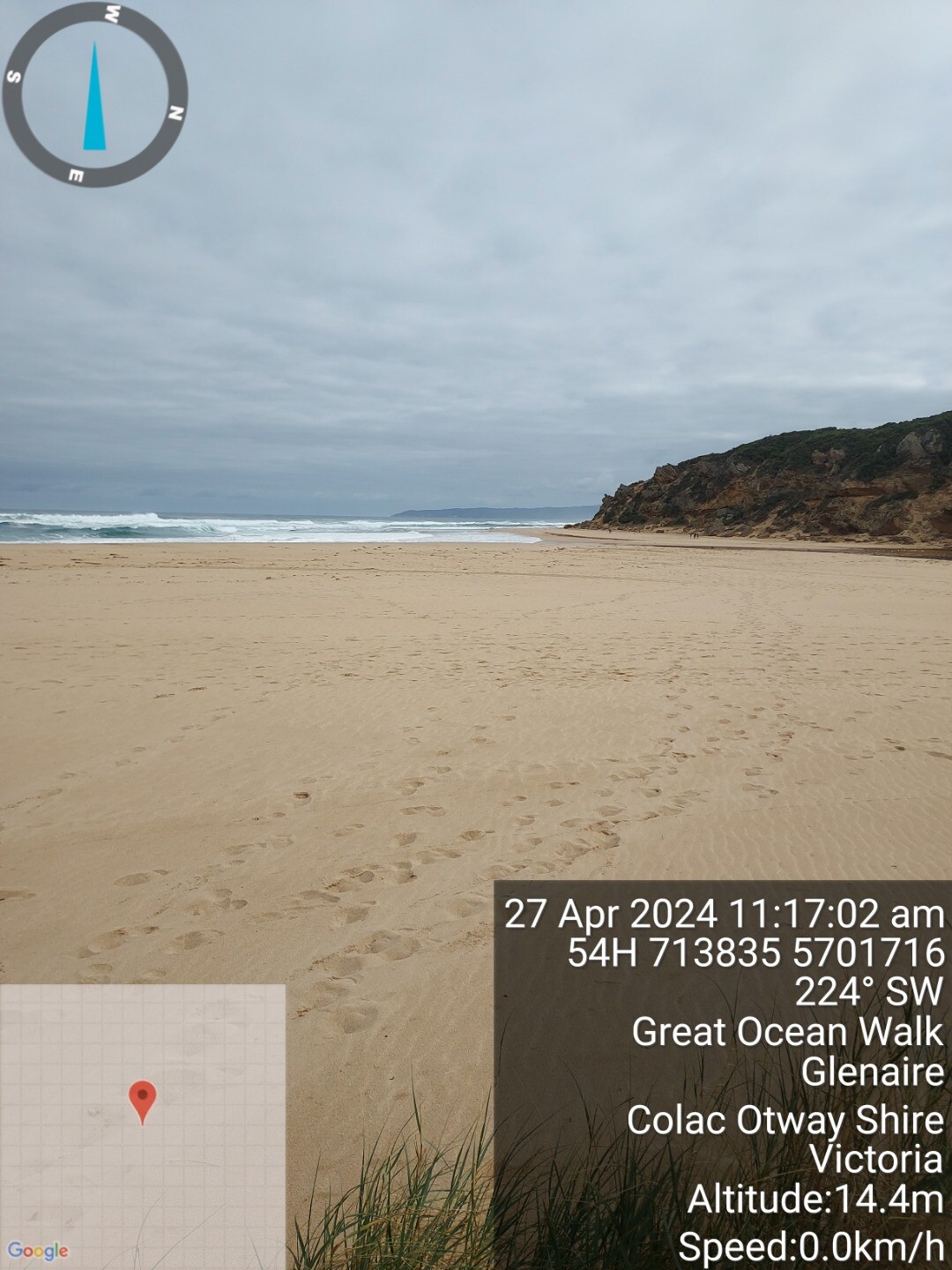 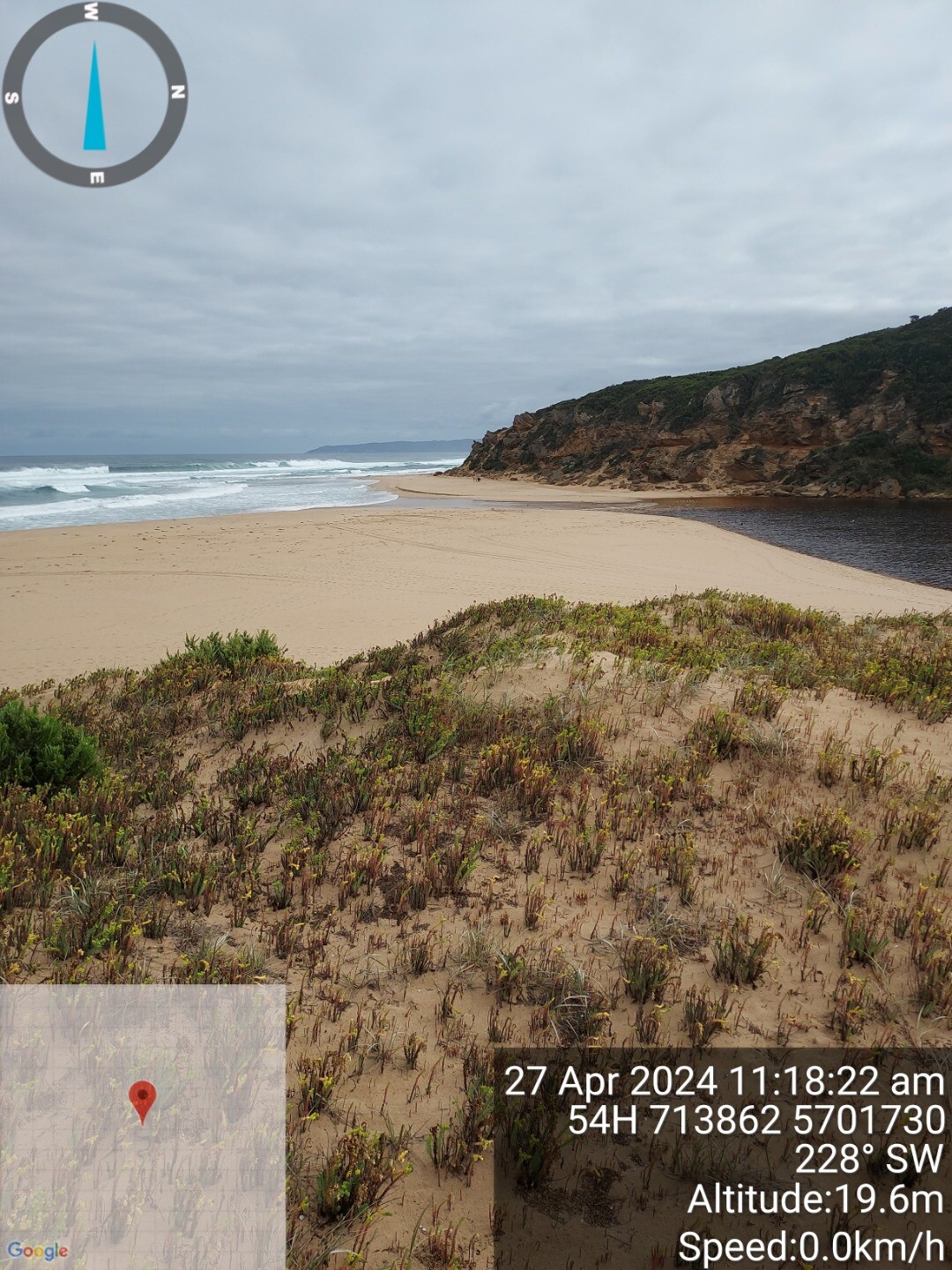 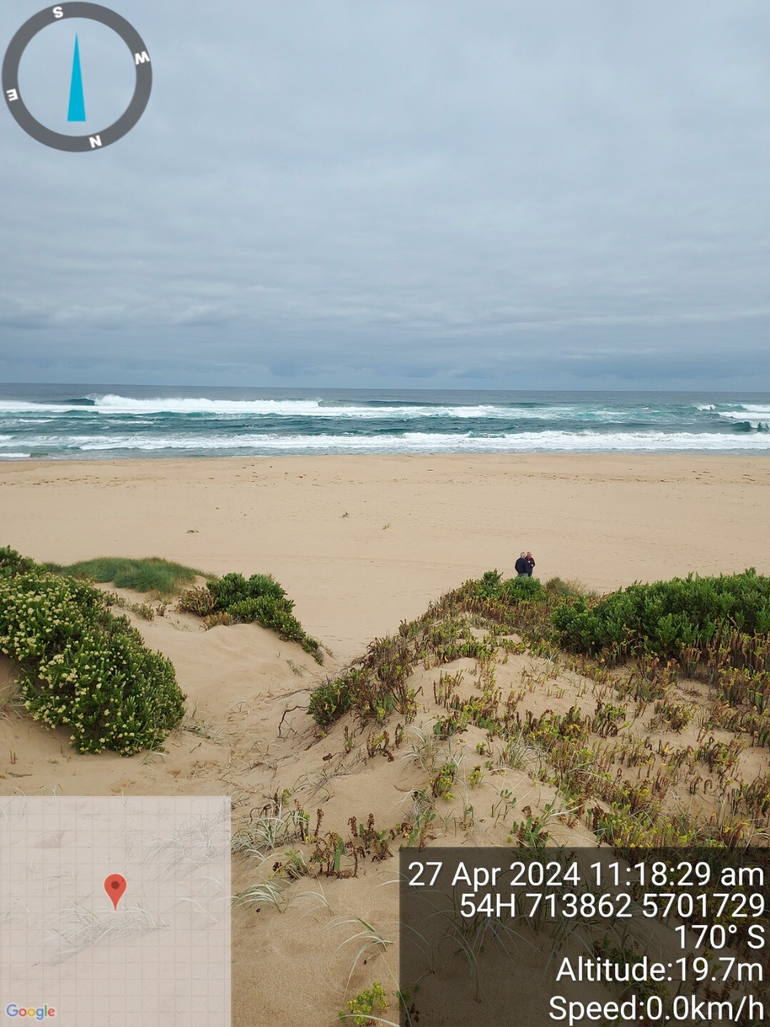 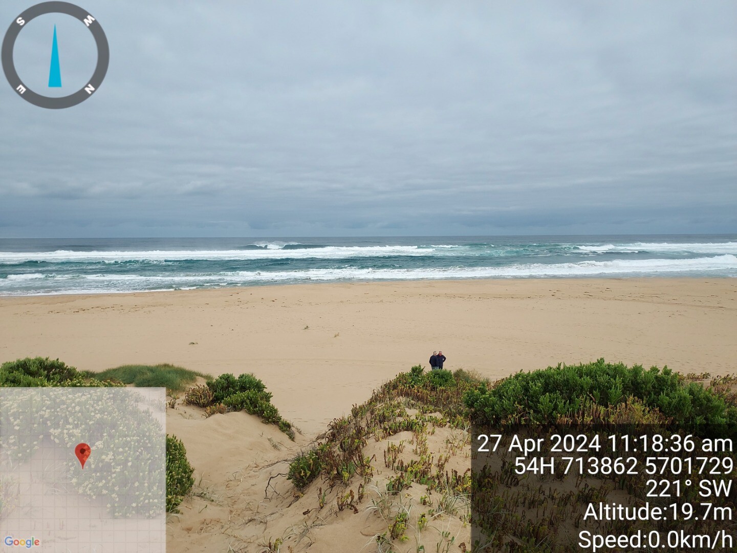 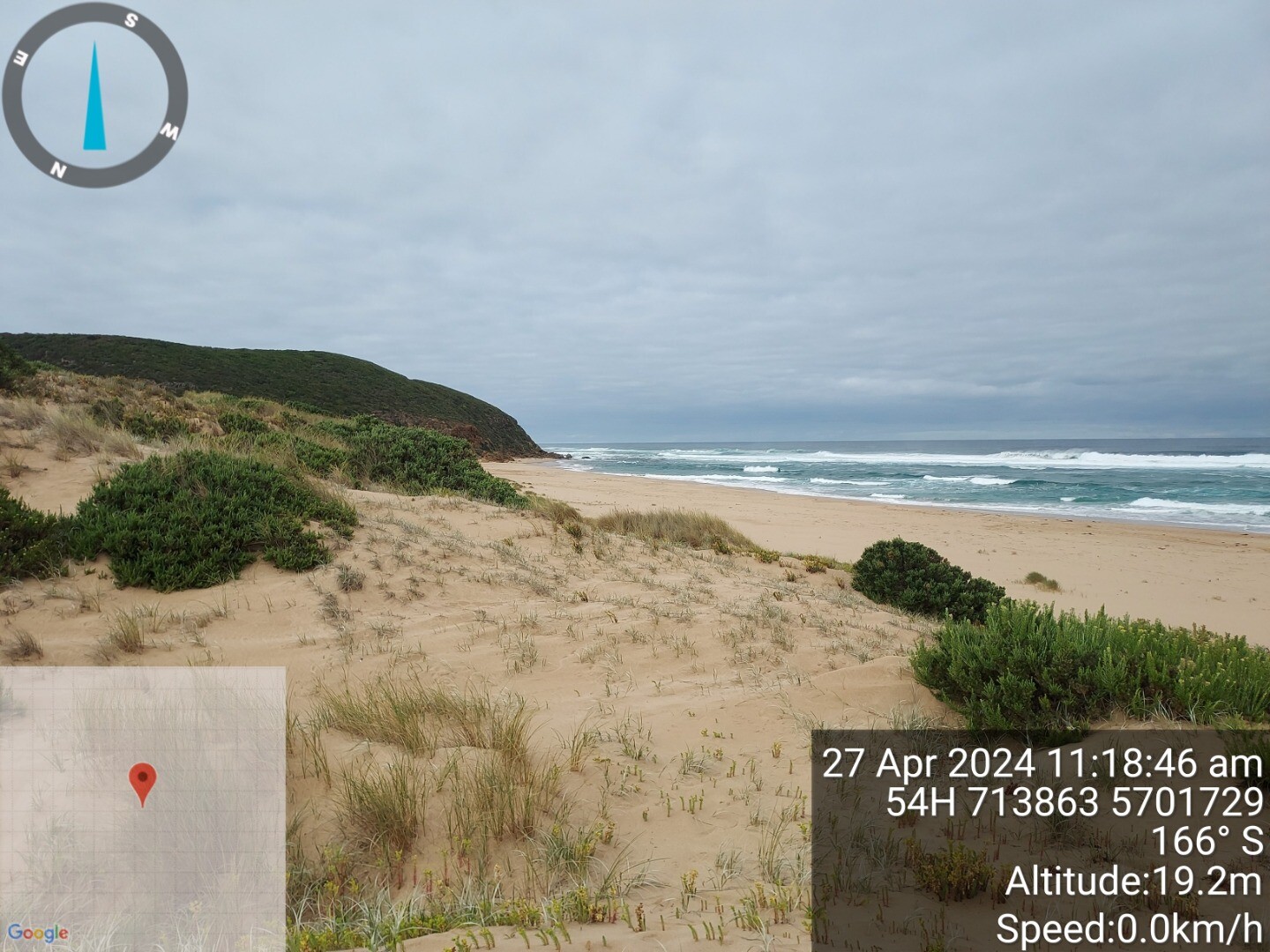 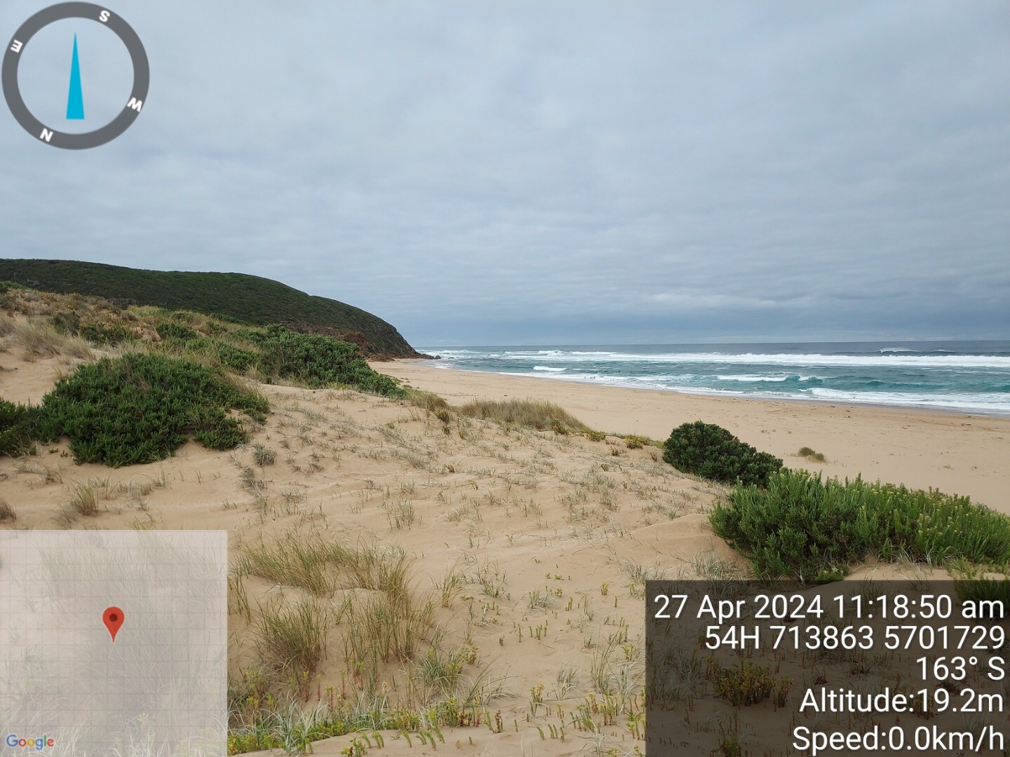 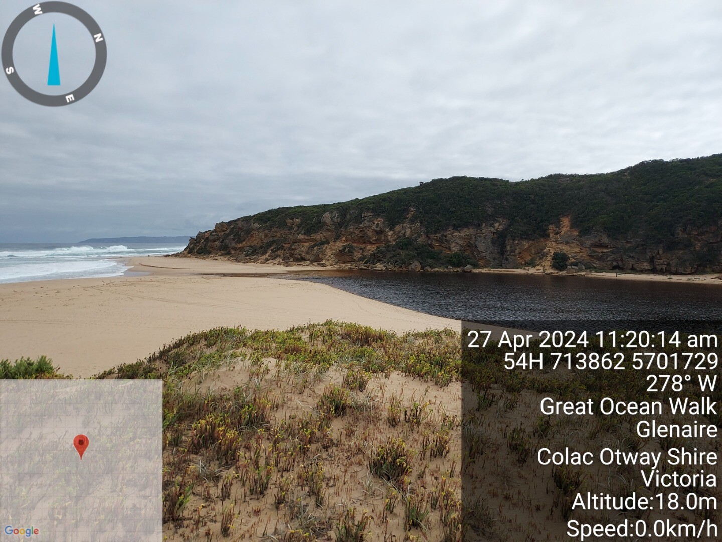 |
|
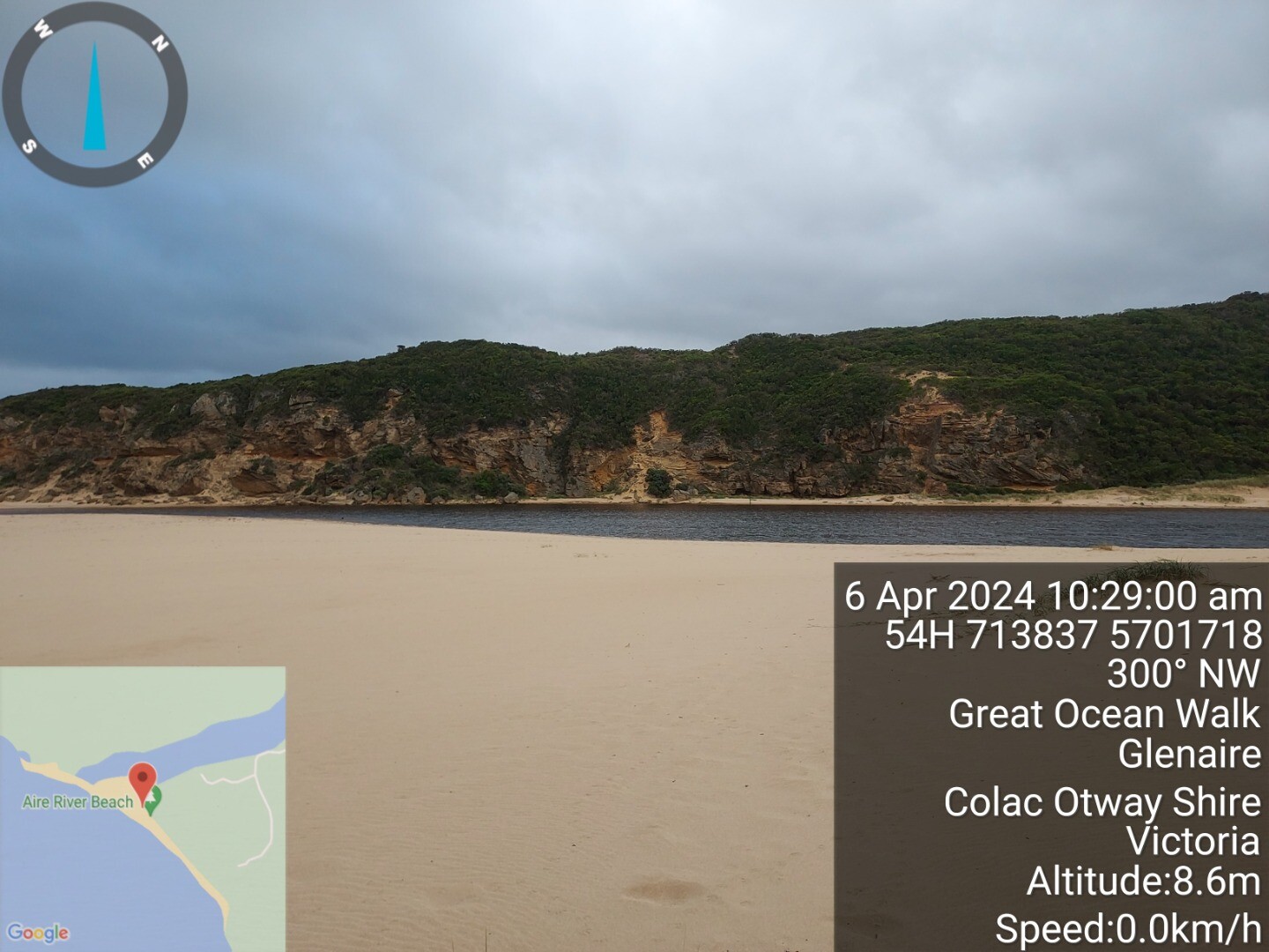
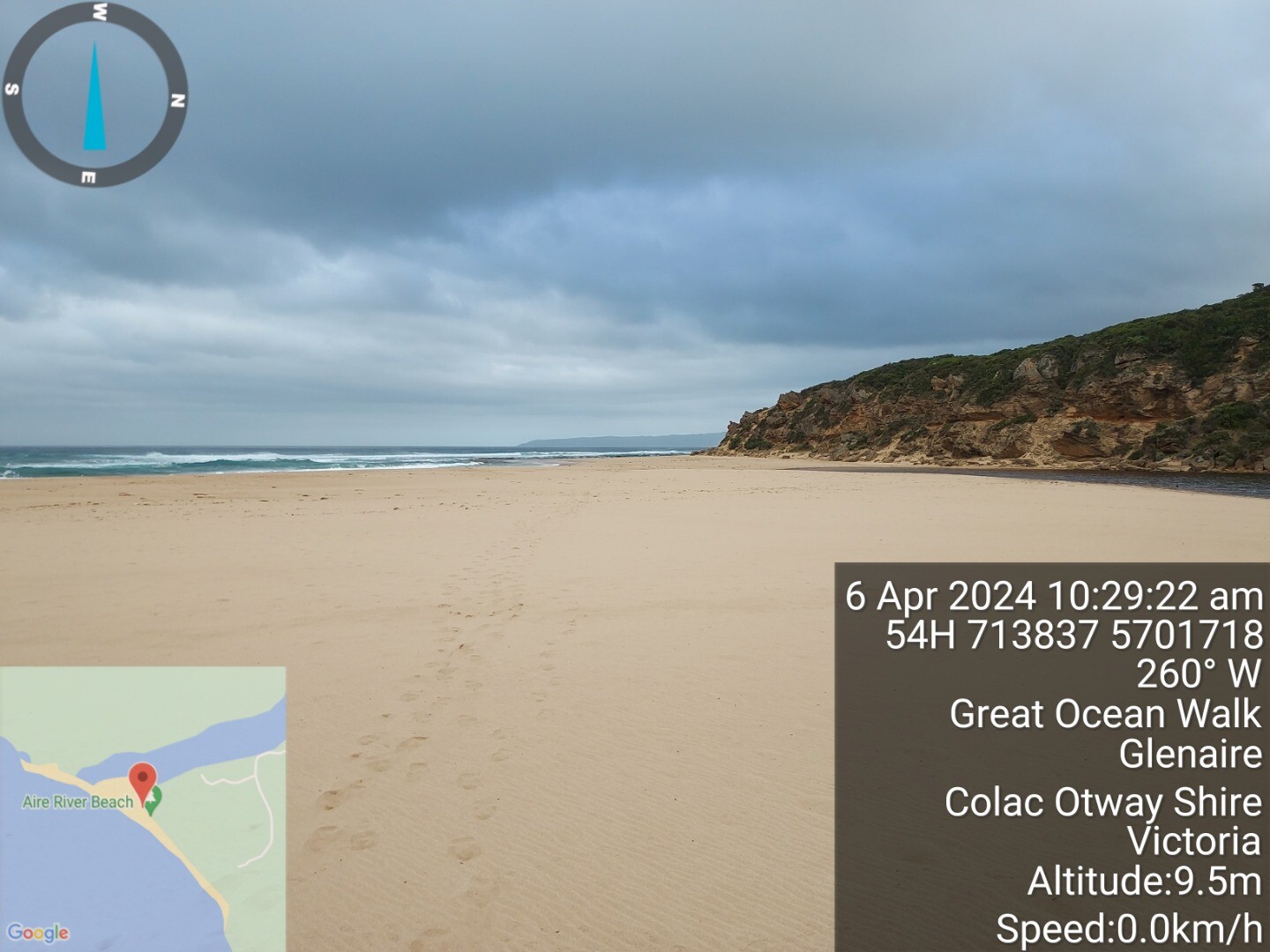
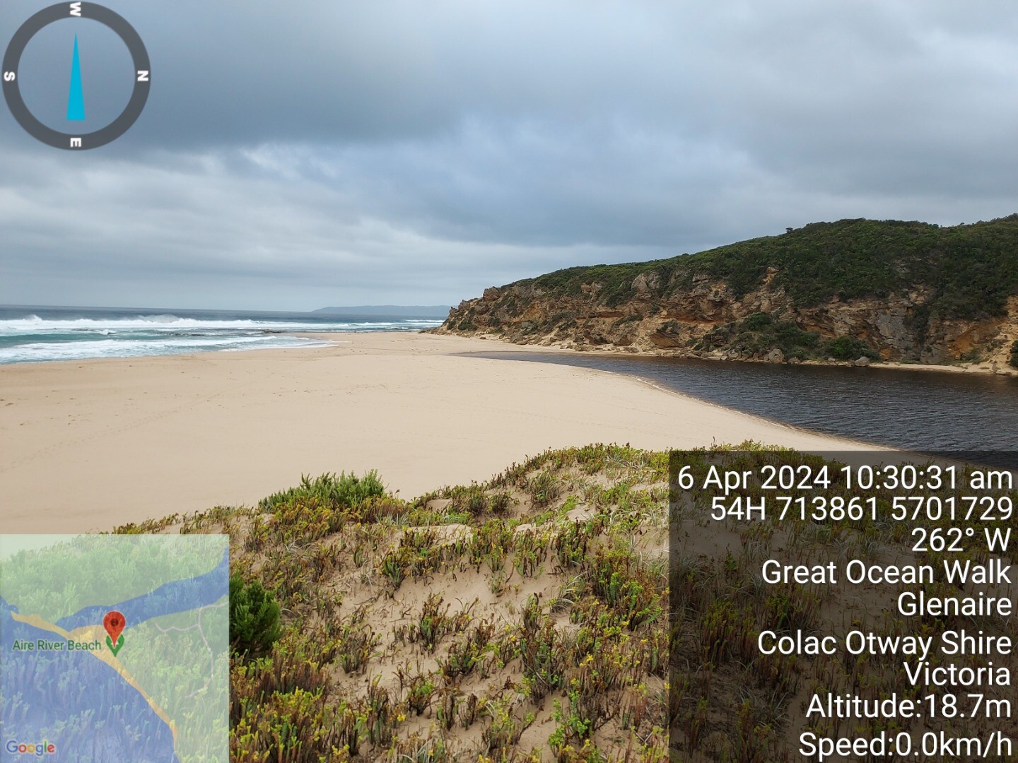
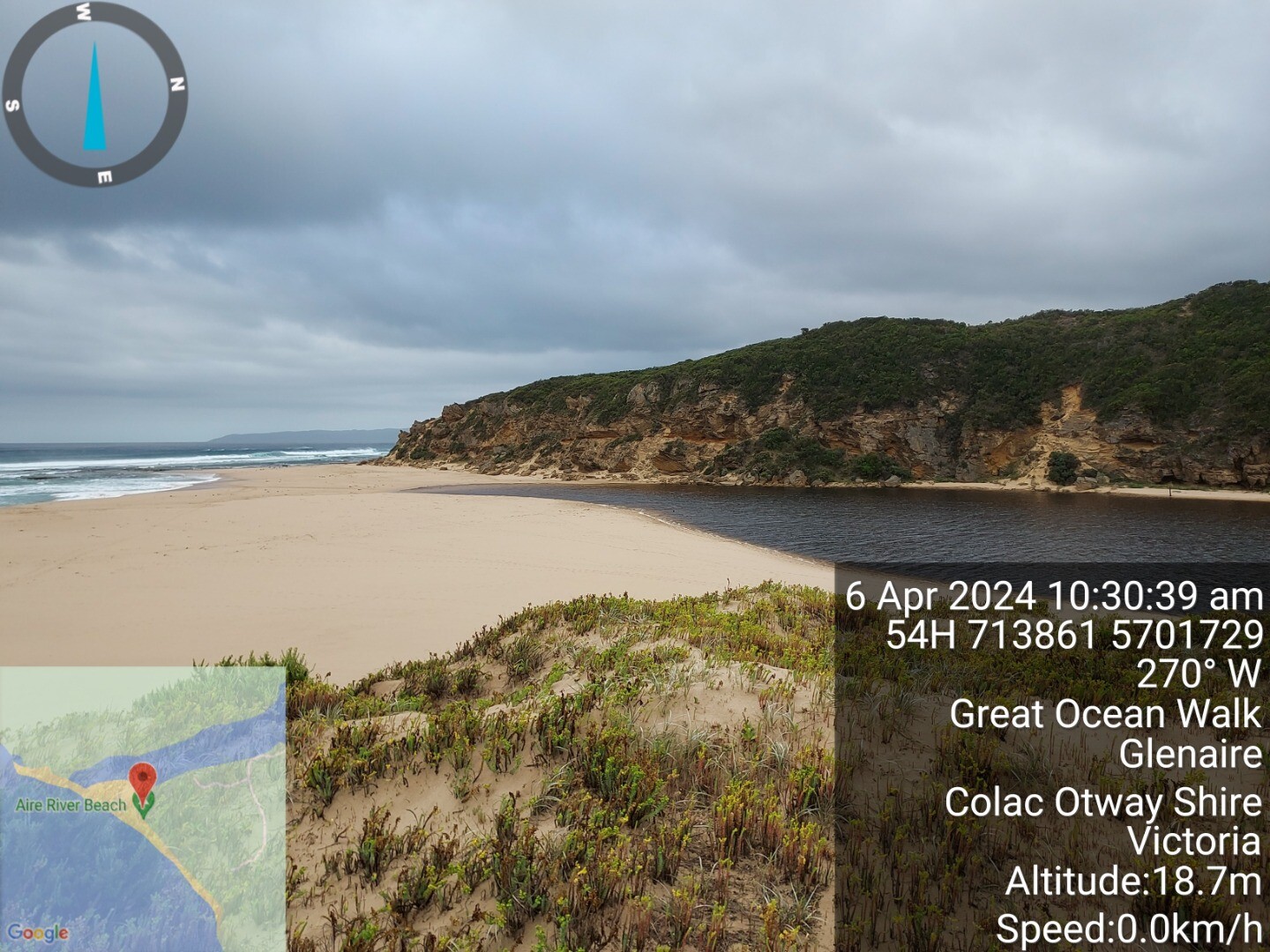
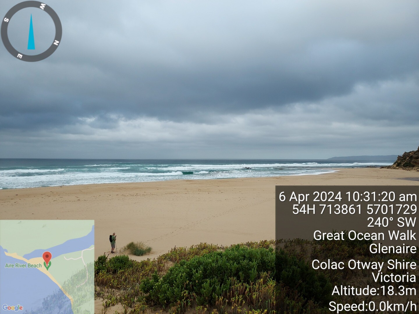
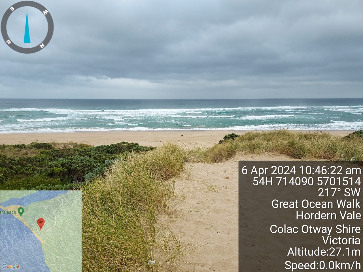
| #16092 | 6 Apr 2024 | Pending |
Notes:
1.1m tide at 10:14 interpolated from willy weather photo 3 and 4 is elevated view from top of front dune, photos 1 and 2 from seagrass clump at base of dune photos 5 and 6 from top of dune access track showing sea state |
|
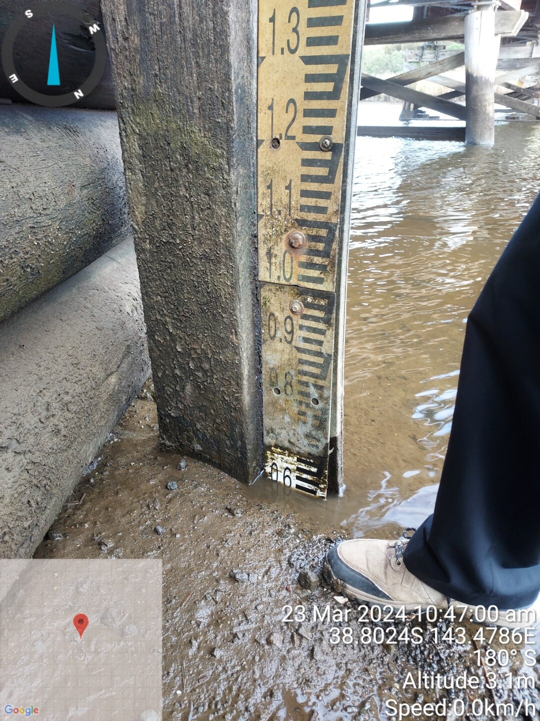
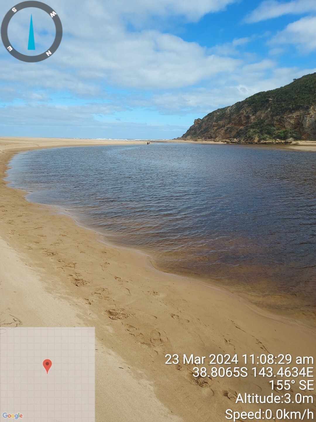
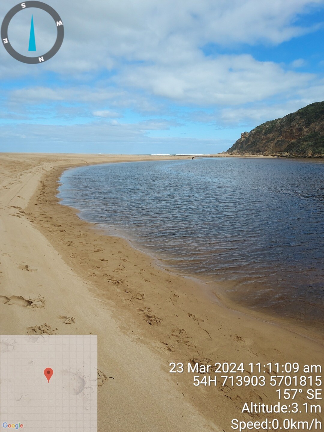
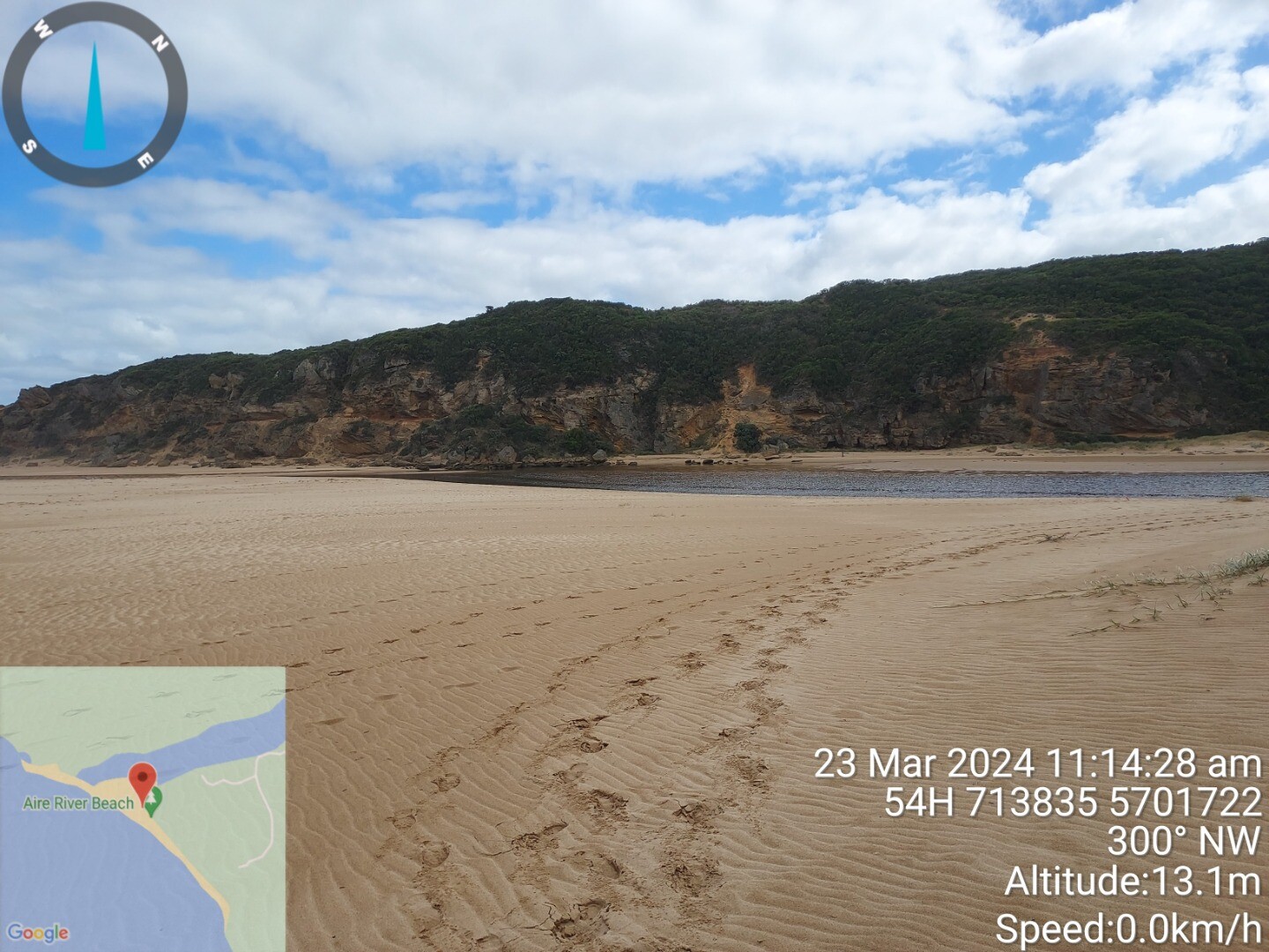
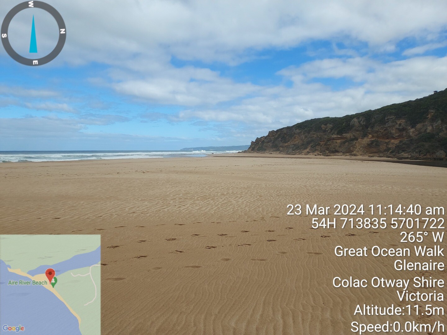
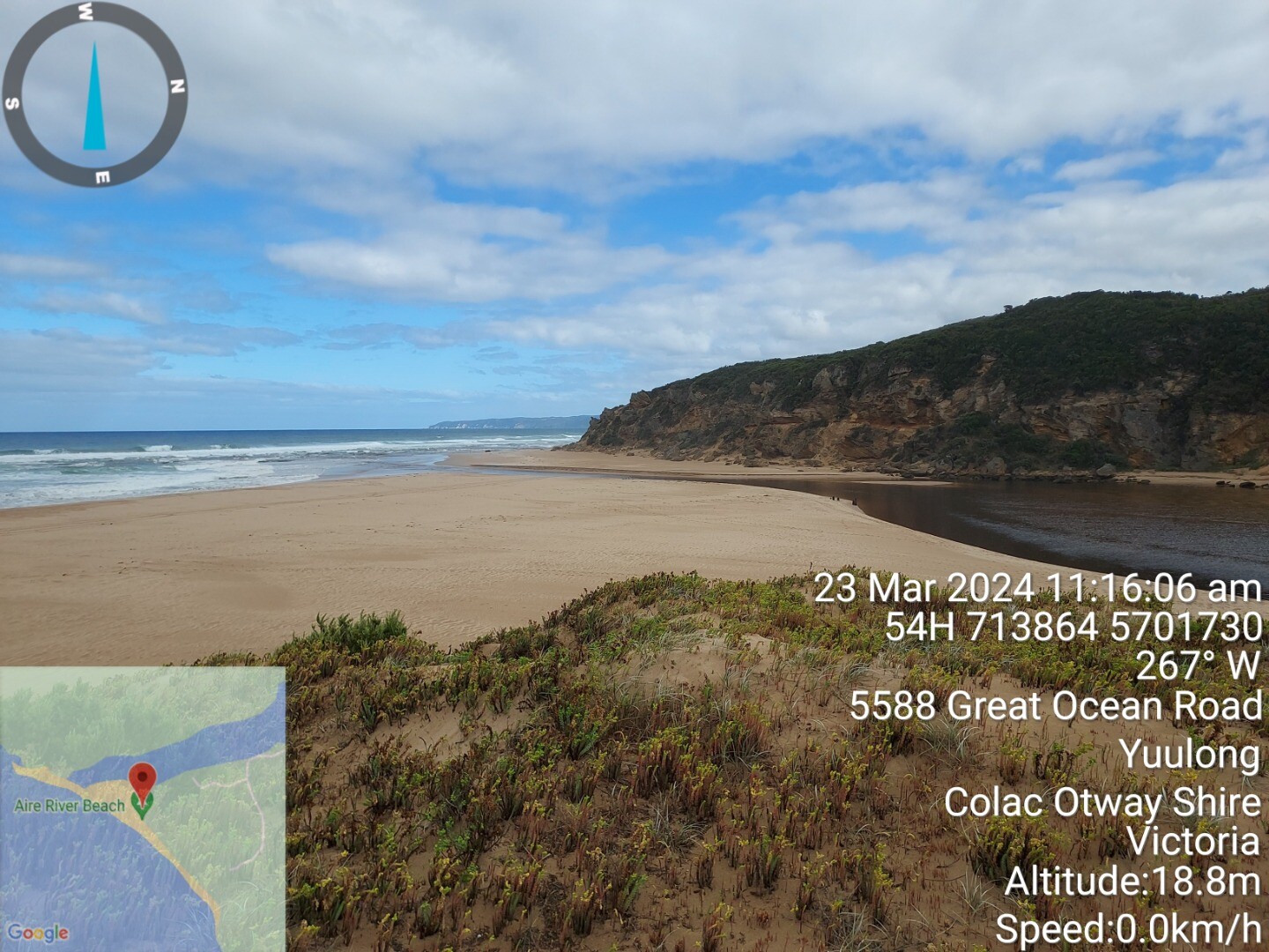
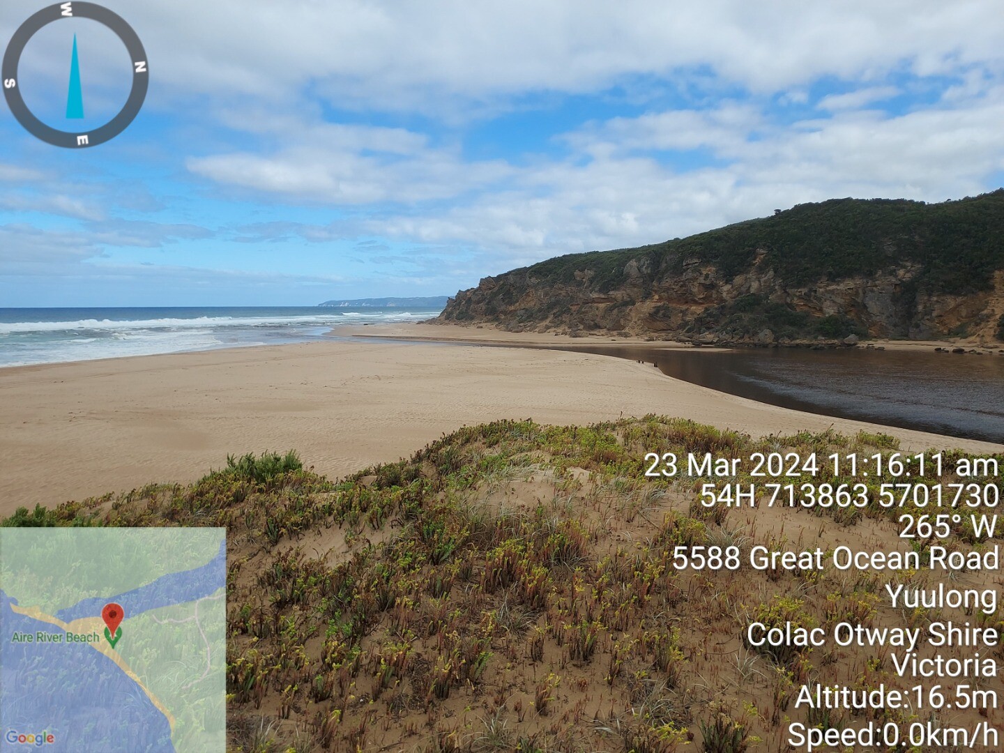
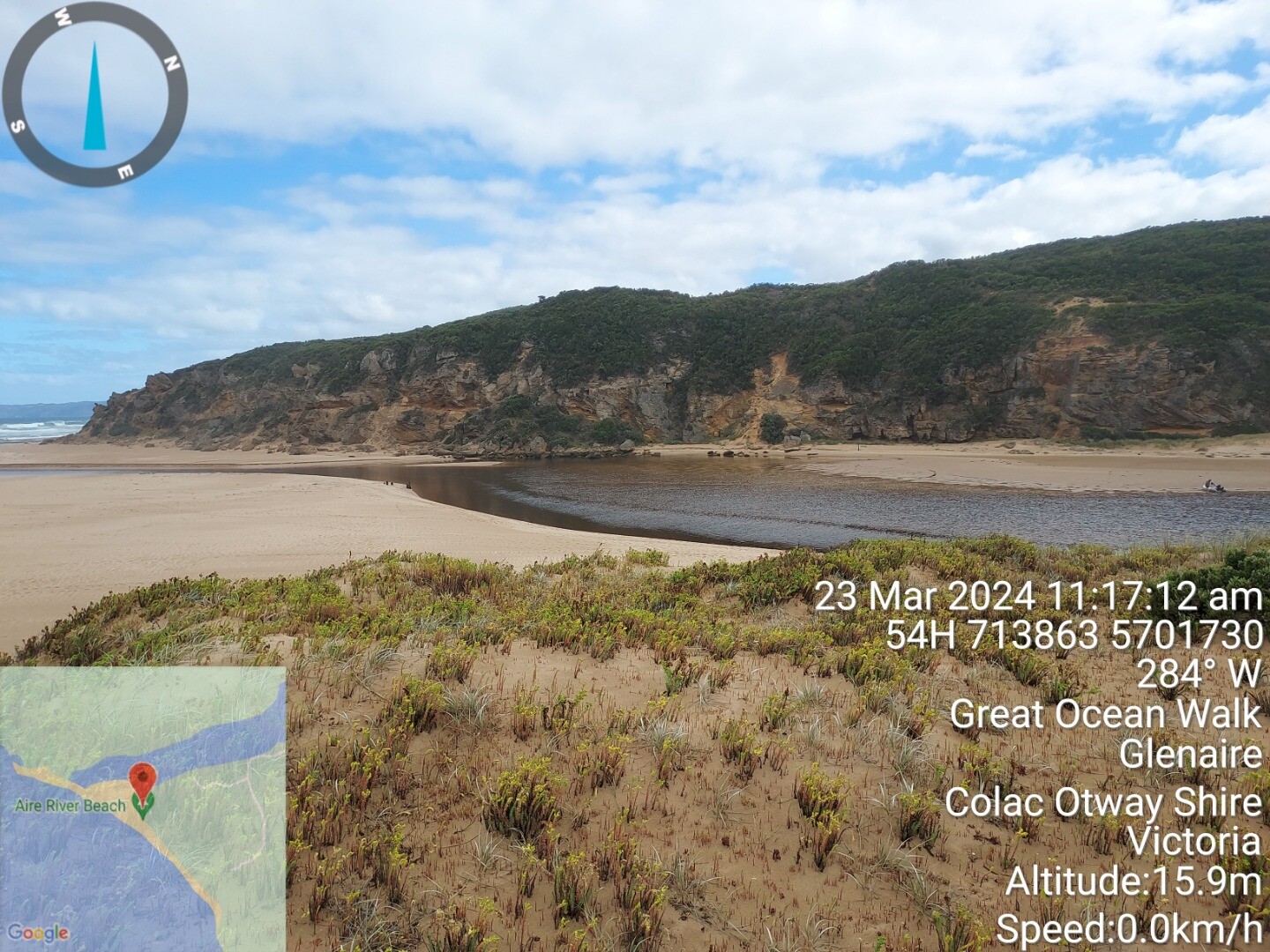
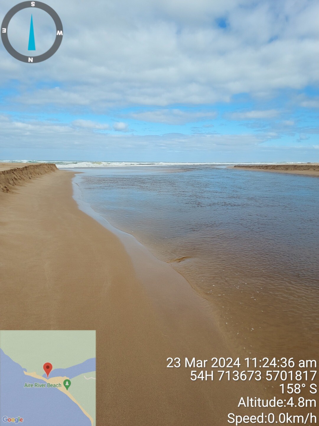
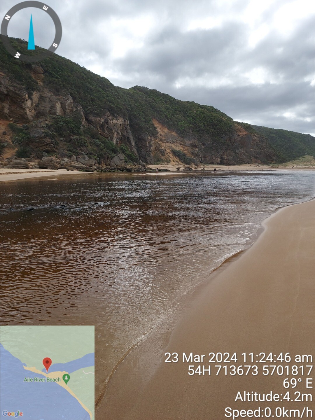
| #16068 | 23 Mar 2024 | Pending |
Notes:
River gauge level 0.6m at bridge |
|
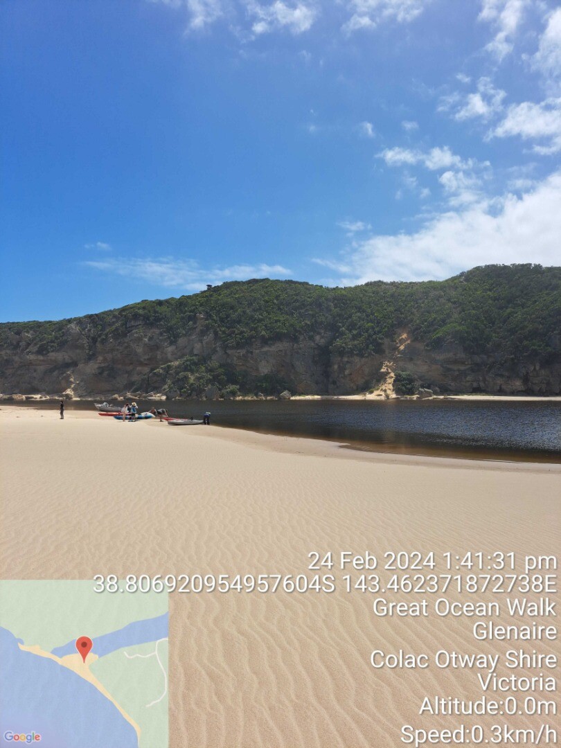
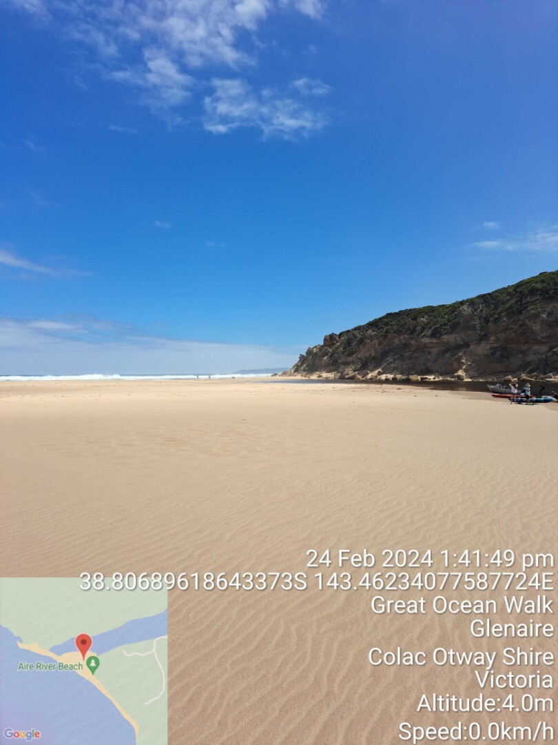
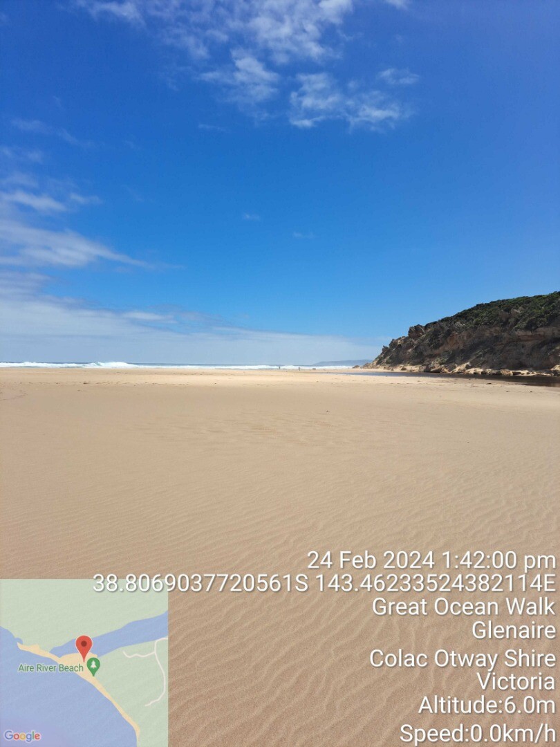
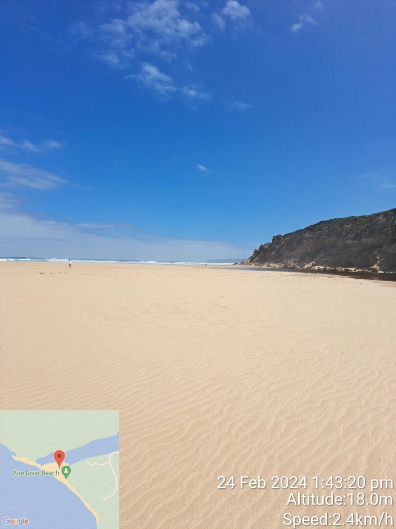
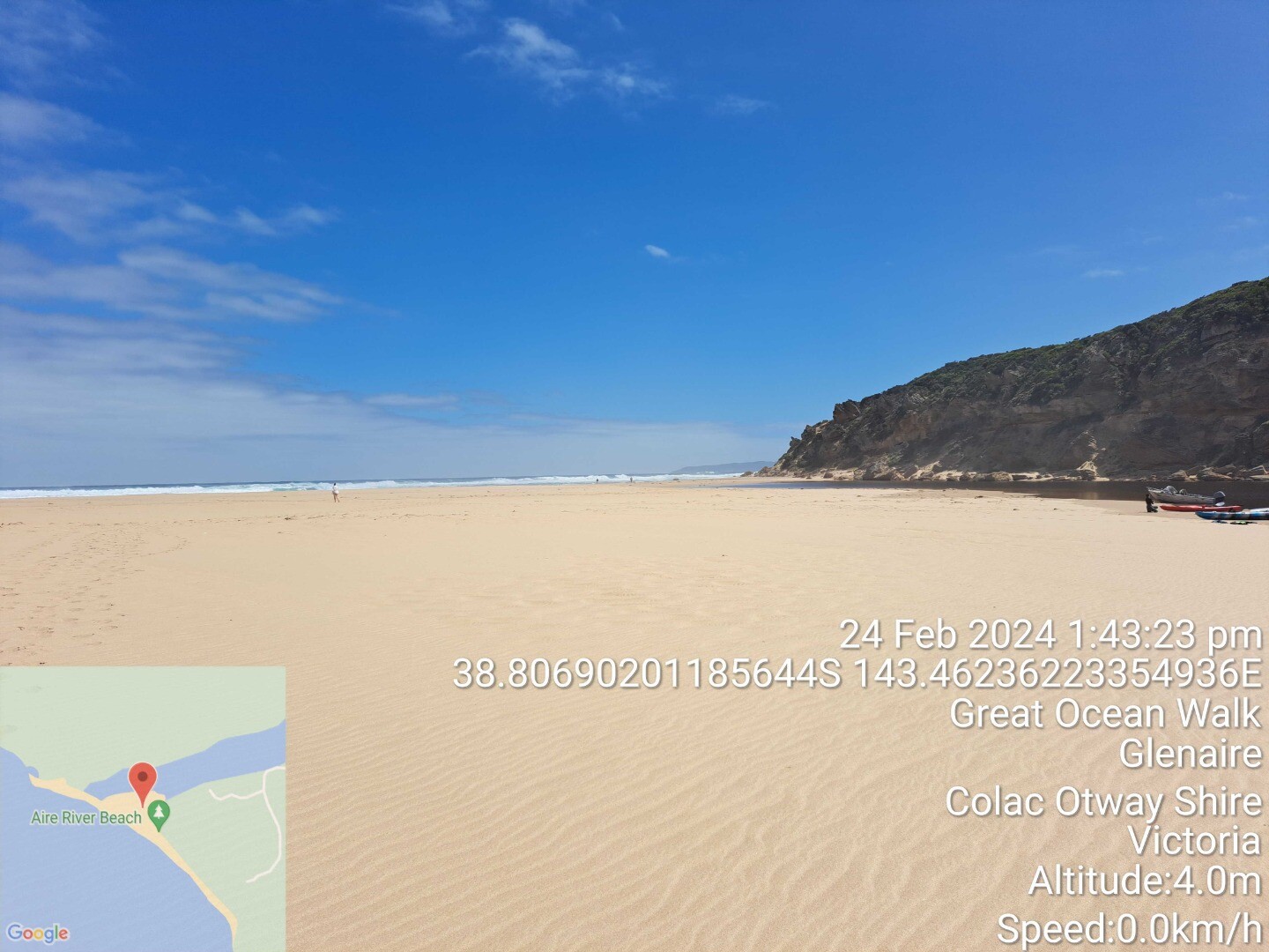
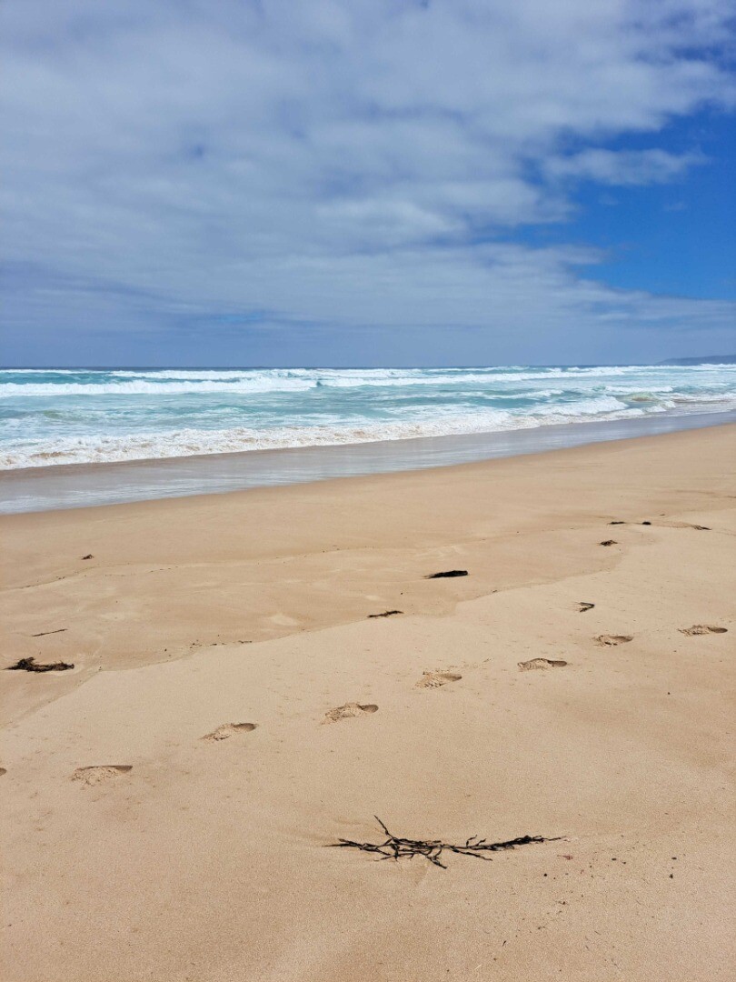
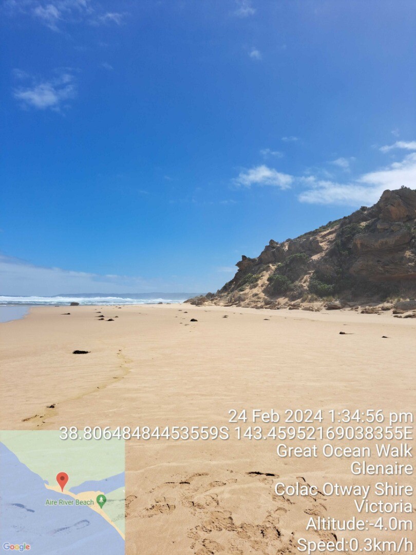
| #16065 | 24 Feb 2024 | Pending |
Notes:
Access track blocked by high river level |
|

All content, files, data and images provided by the EstuaryWatch Data Portal and Gallery are subject to a Creative Commons Attribution License
Content is made available to be used in any way, and should always attribute EstuaryWatch and www.estuarywatch.org.au