EstuaryWatch Data Portal
AiMC Aire River Estuary Mouth Observation Site
Site details
Overview
| Estuary | Aire River Estuary |
|---|---|
| CMA | Corangamite CMA |
| Type | Mouth Condition |
| Site code | AiMC |
| Site name | Aire River Estuary Mouth Observation Site |
| Nearest road and town | Sand Rd, Glenaire |
| Description |
Near beach access track at estuary mouth. |
| Site access |
Walk along track on eastern side of estuary towards the mouth. |
| Land use |
|
| Land use description |
Protected dune and beach. |
| Status | Active |
| Observation history | 24-02-2024 - 06-04-2024 |
Observations
| # | Date | Mouth state | Flow | Wind | Beaufort Scale | Sea State | Water Level Start | Water Level End | High Tide | Low Tide | ||||
|---|---|---|---|---|---|---|---|---|---|---|---|---|---|---|
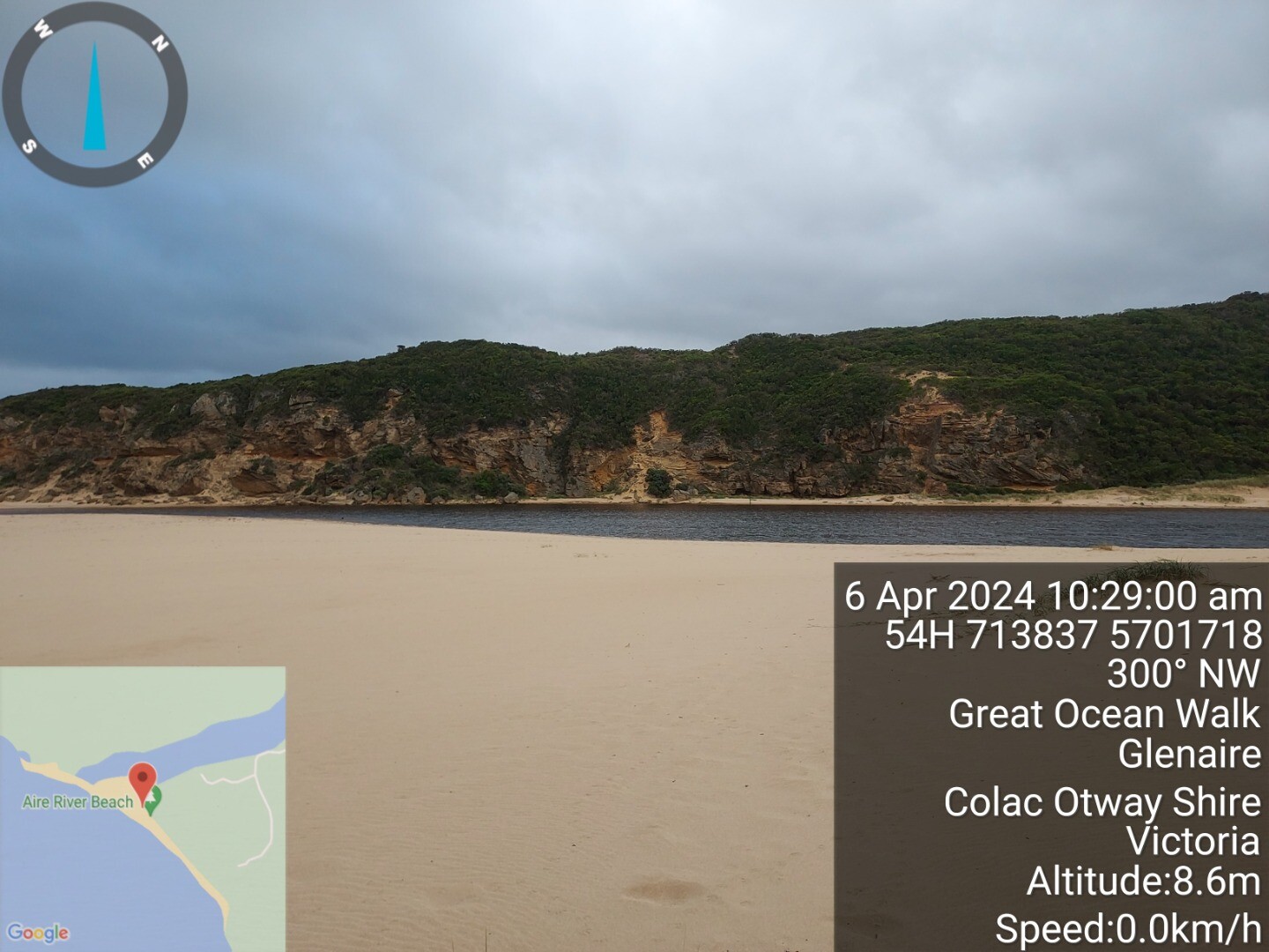
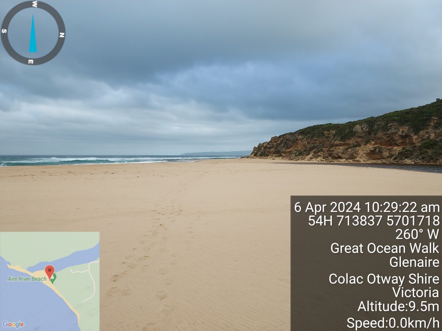
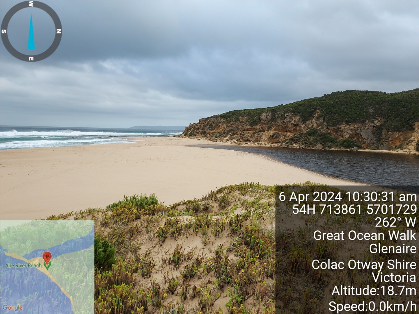
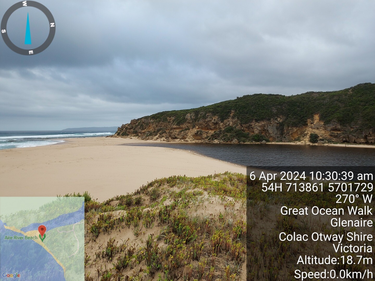
| #16092 | 06-04-2024 | Closed | N/A | NE | Light Breeze | 4 Slight | 1.5m | 09:35am | 1.3m | 07:56am | 0.7m | 14:28pm | ||
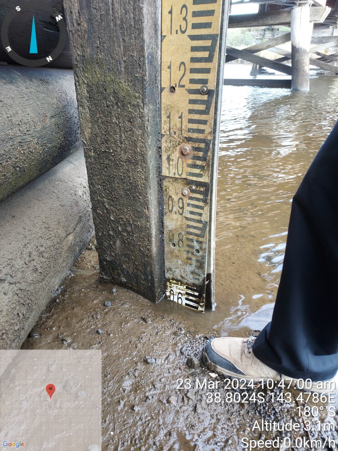
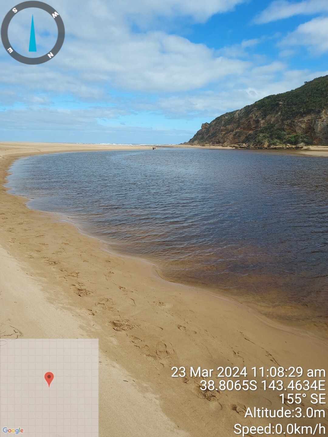
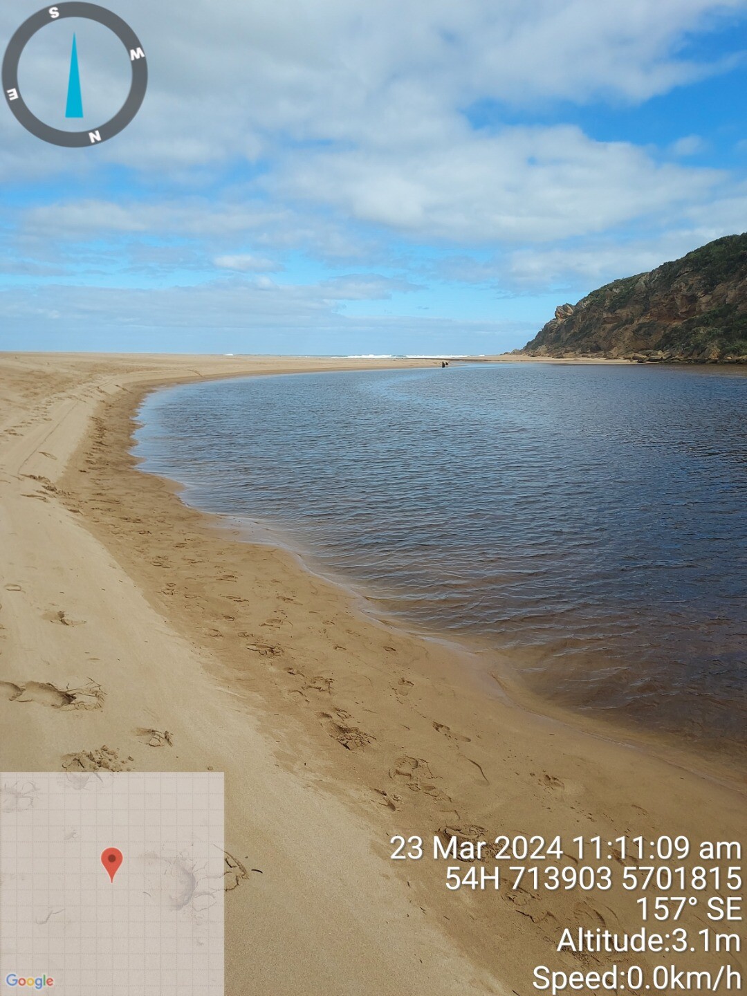
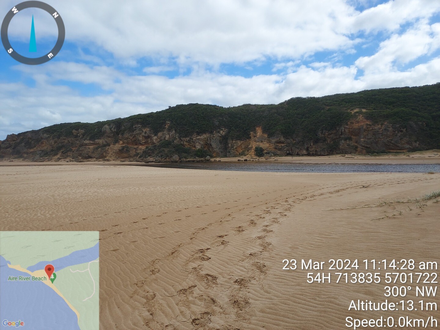
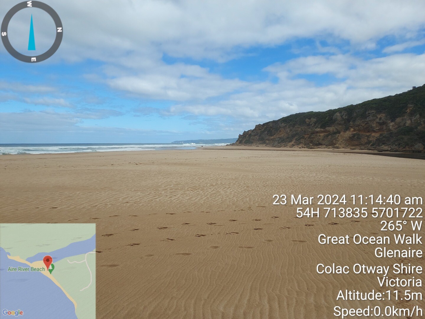
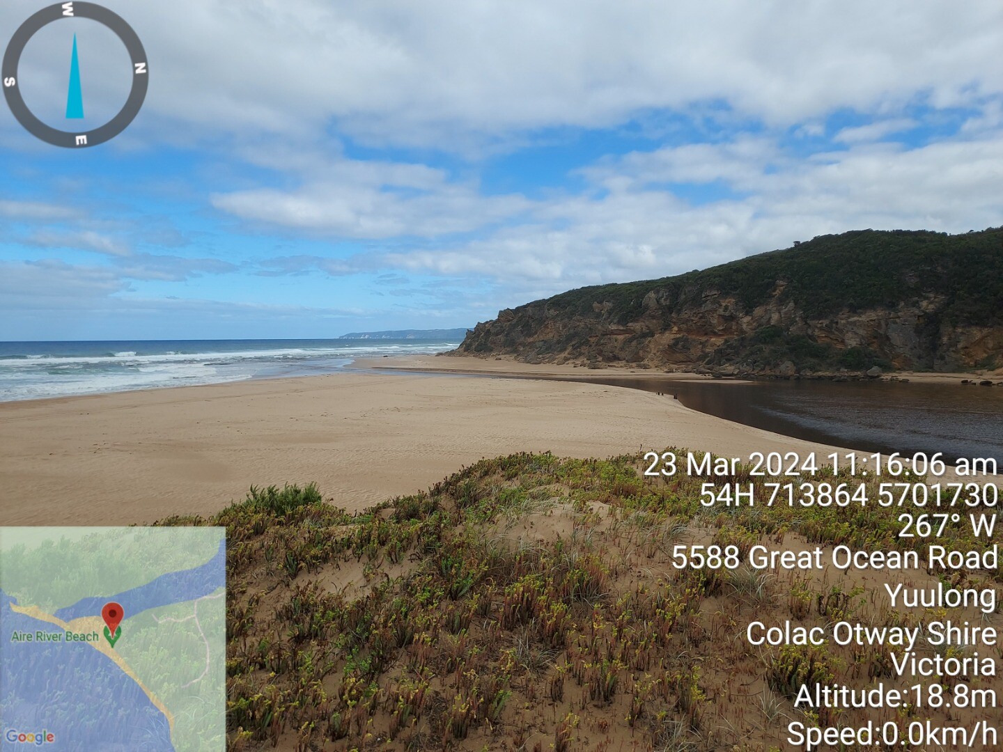
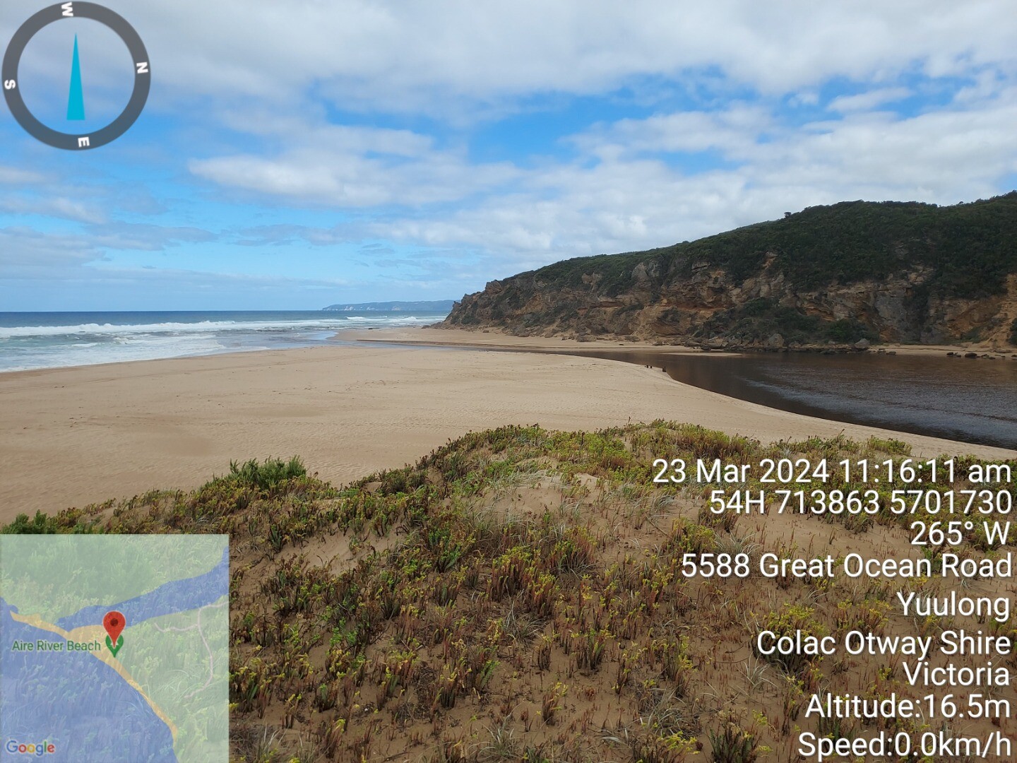
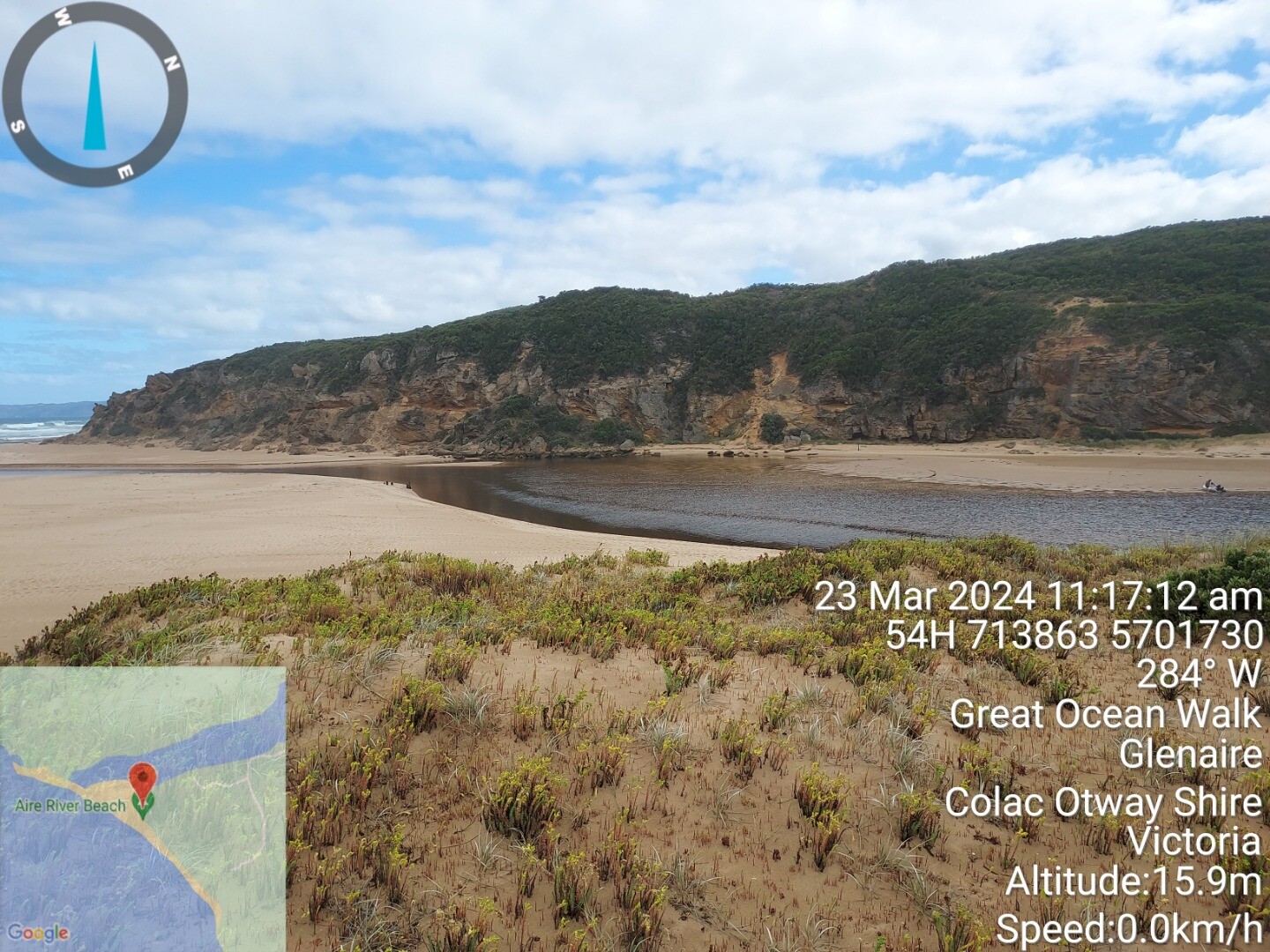
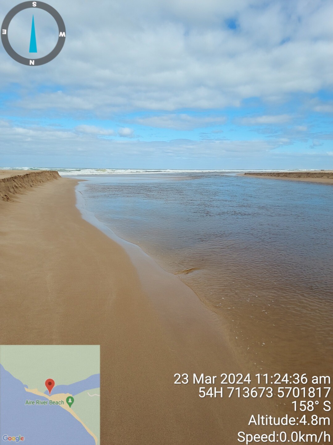
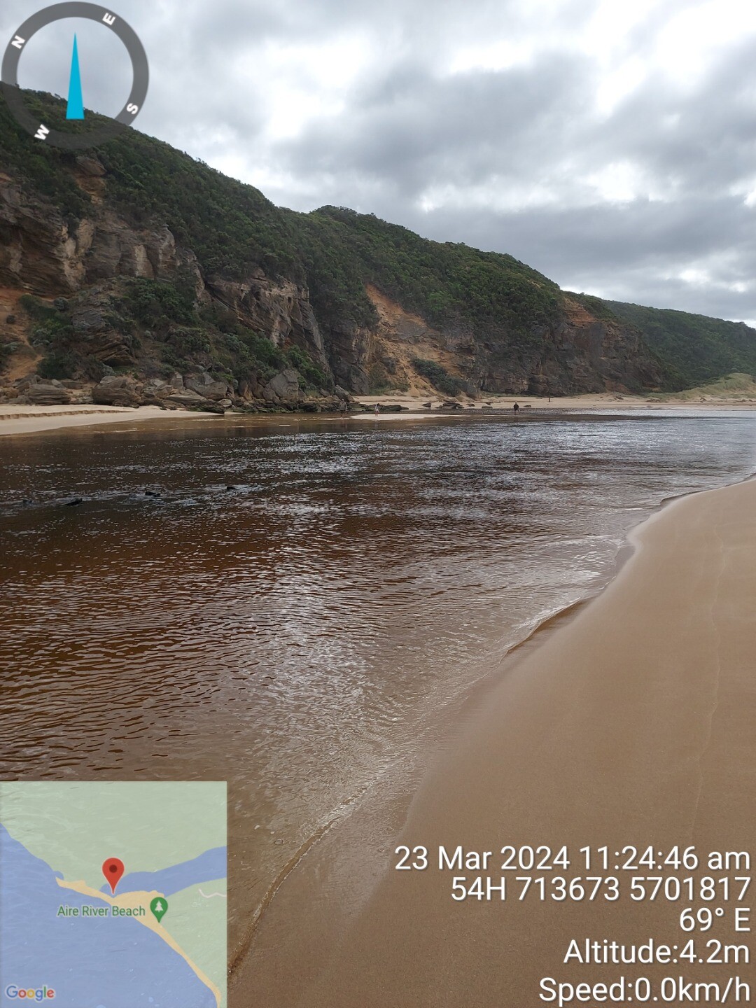
| #16068 | 23-03-2024 | Open | Out | S | Light Breeze | 3 Smooth | 0.6m | 10:50am | 1.3m | 11:07am | -0.9m | 16:38pm | ||
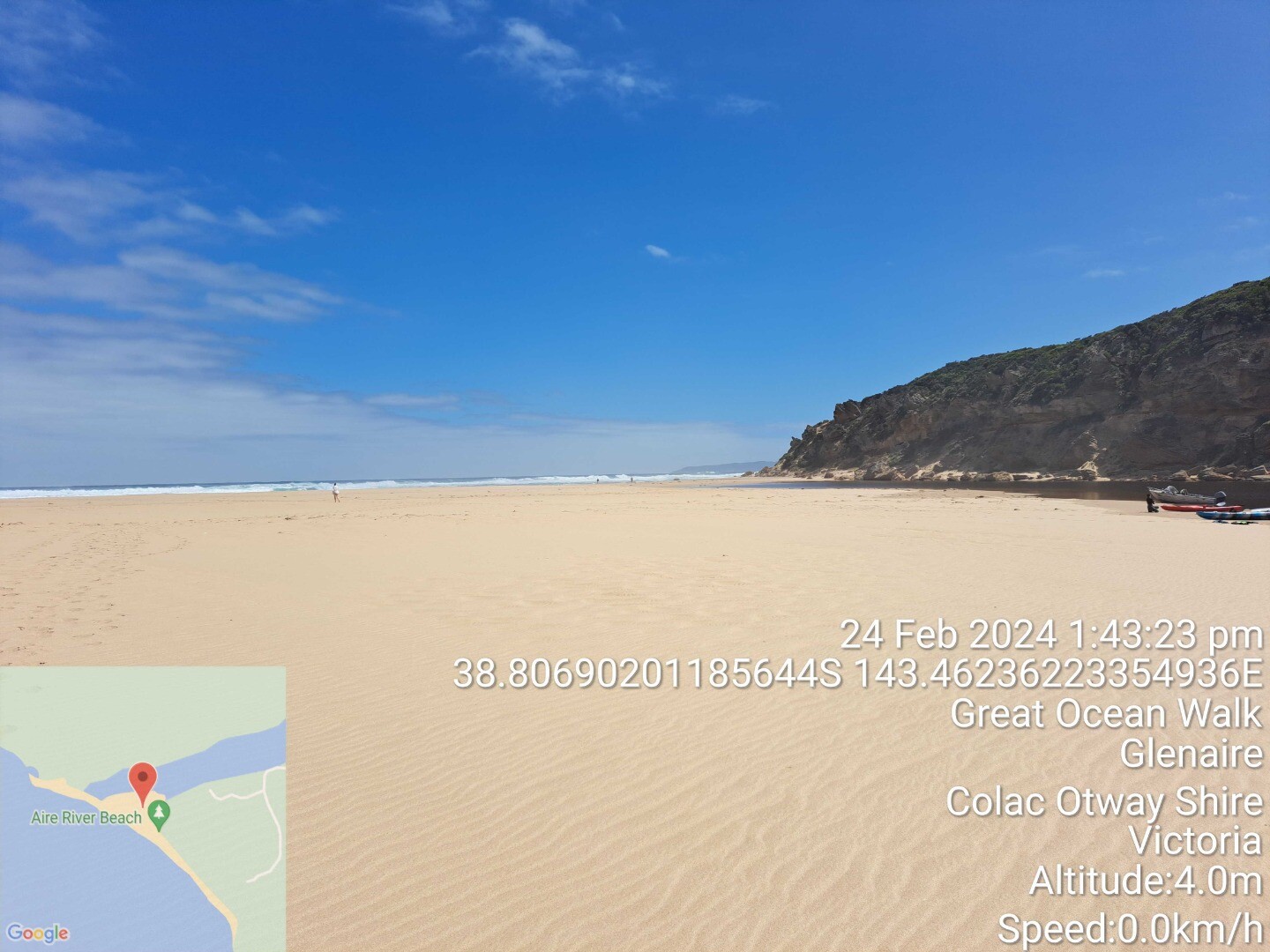
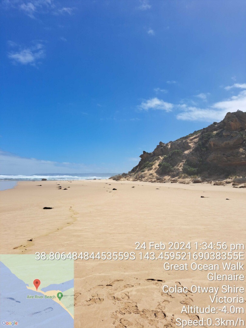
| #16065 | 24-02-2024 | Closed | N/A | SW | Light Breeze | 4 Slight | 1.6m | 14:15pm | 1.6m | 12:11pm | 0.6m | 18:26pm | ||
Snapshots
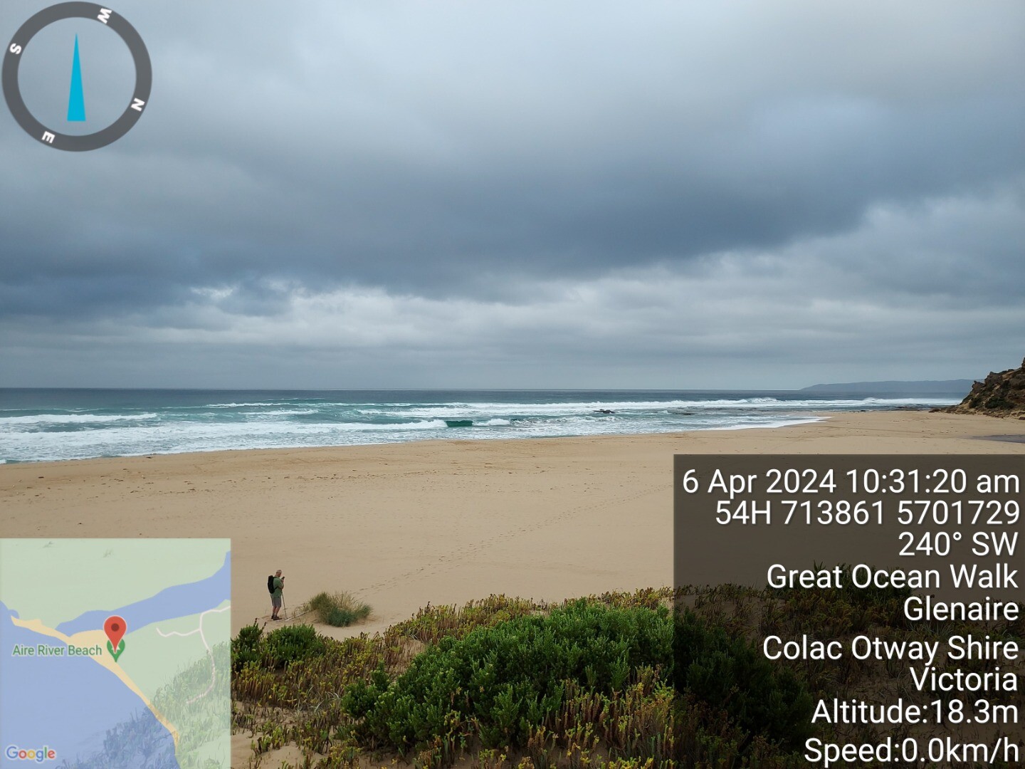
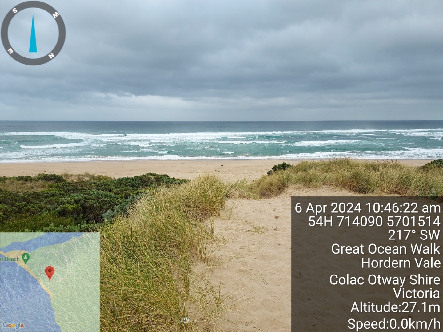
06-04-2024 #16092
Photopoint AiP1
23-03-2024 #16068
Photopoint AiP2
Photopoint AiP1
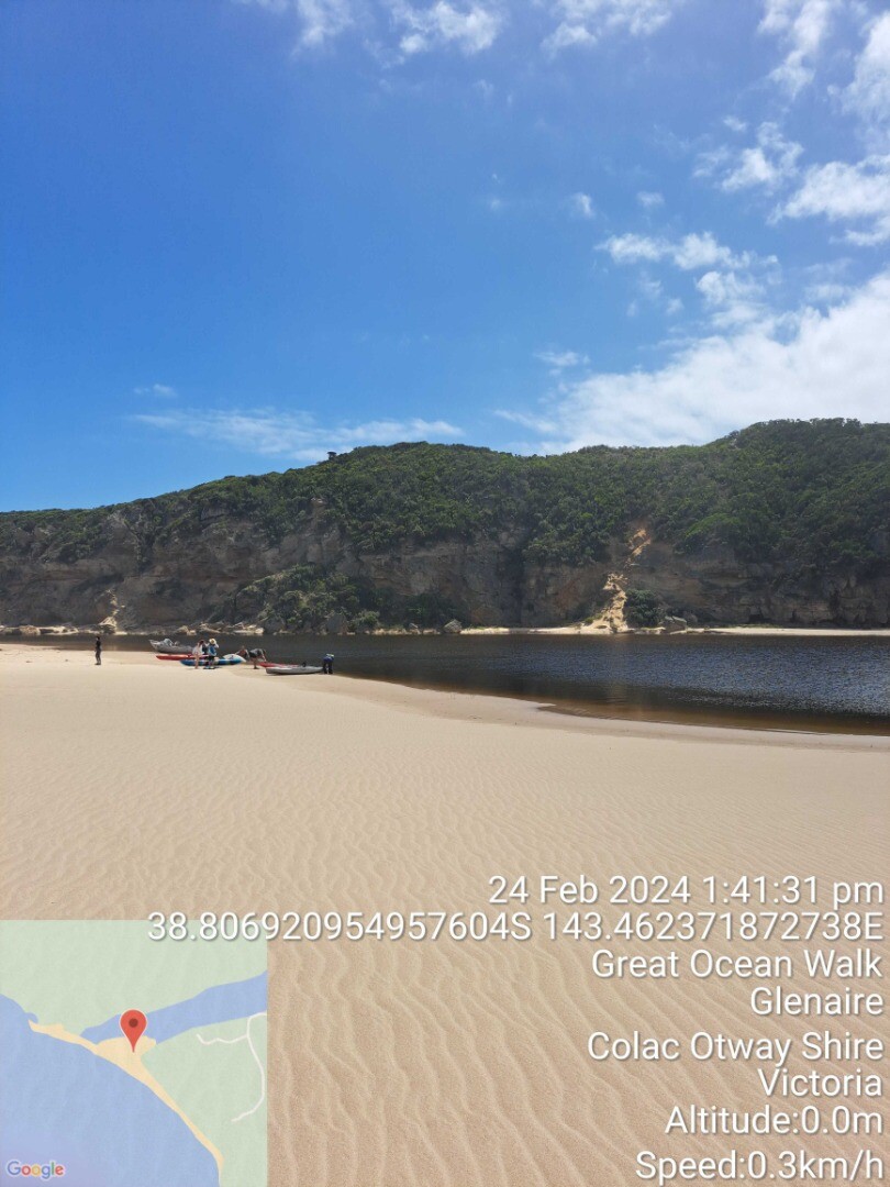
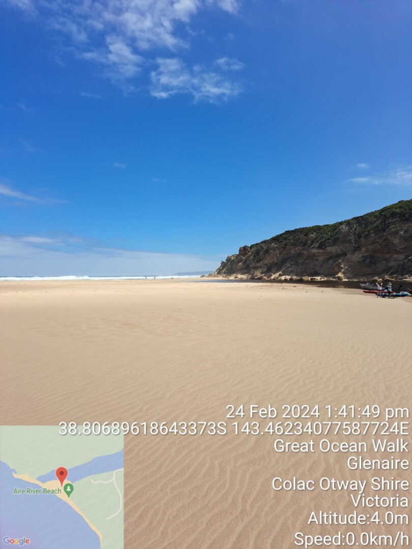
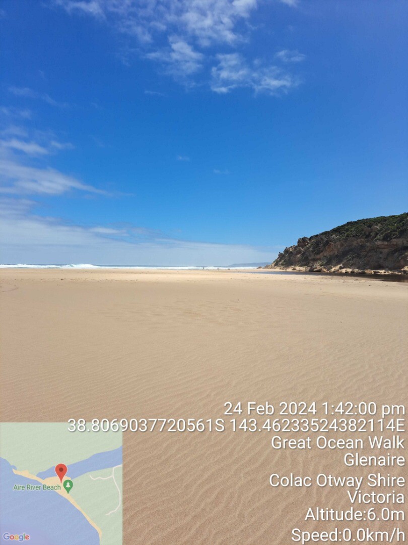
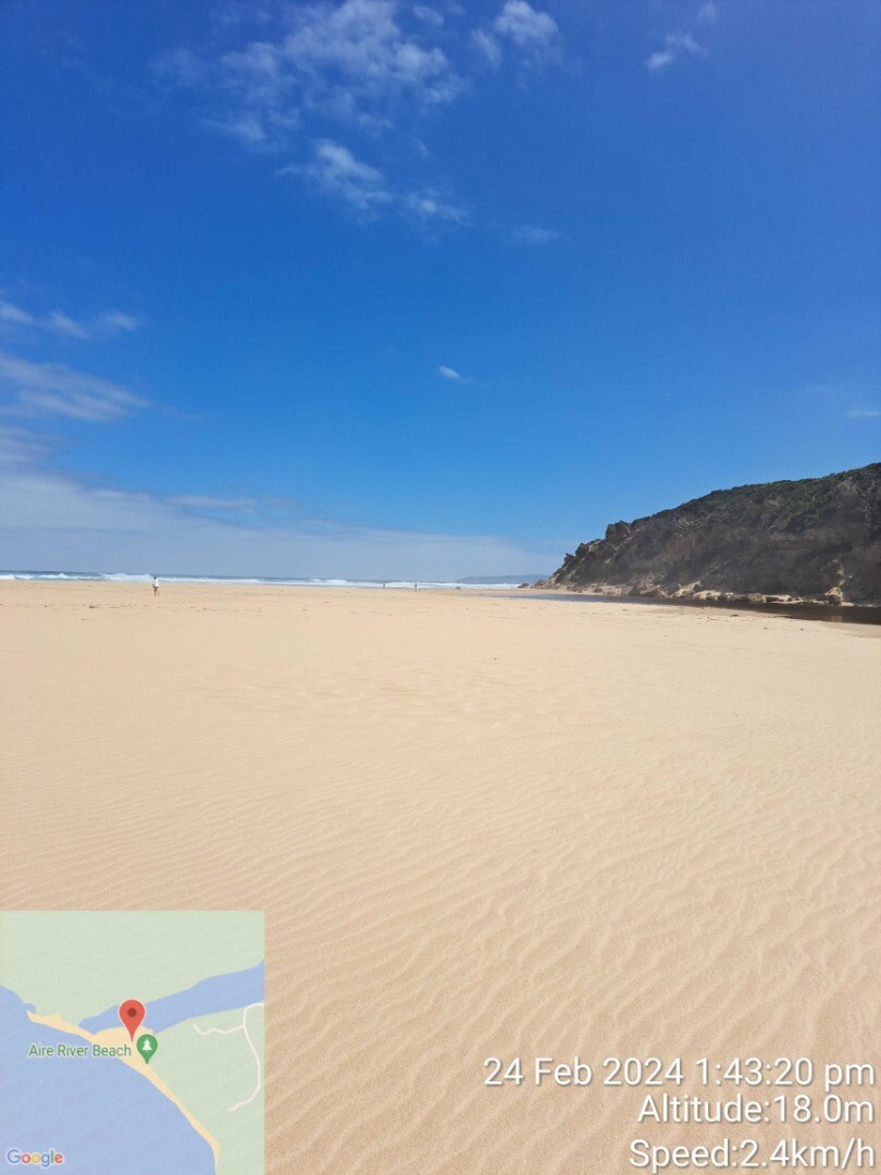
24-02-2024 #16065
Photopoint AiP1
Photopoint

All content, files, data and images provided by the EstuaryWatch Data Portal and Gallery are subject to a Creative Commons Attribution License
Content is made available to be used in any way, and should always attribute EstuaryWatch and www.estuarywatch.org.au