EstuaryWatch Data Portal
AMC Anglesea River Estuary Mouth Observation Site
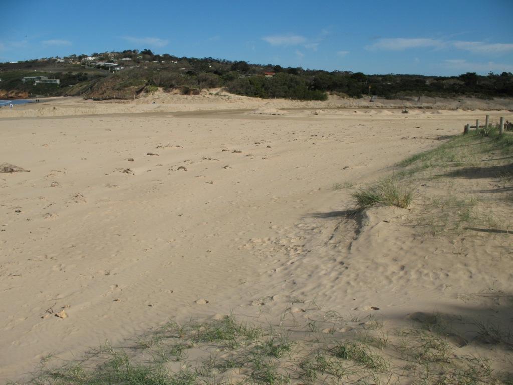
Active Mouth Condition 17-04-2007 - 17-04-2024Anglesea River Estuary
241 results found (Displaying 226 - 241)
| ID | Date | Status | Details | |
|---|---|---|---|---|
| #28 | 1 Sep 2007 | Approved | ||
| #27 | 1 Sep 2007 | Approved | Notes: River mouth closed. Recently completed bank rehab (east side of the estuary near Pp1). Massive wind storm previous day, mouth open last 2 weeks. | |
| #26 | 25 Aug 2007 | Approved | ||
| #25 | 25 Aug 2007 | Approved | Notes: Highly modified environment. Construction works around mouth of river, temporary channel constructed - whole river/estuary water level @ 0.30m lower than usual. | |
| #47 | 29 Jul 2007 | Approved |
Notes:
Open and slight flow, estuary now flowing near beach, sand dunes making particular formations. Unable to take photos due to mechanical failure.
|
|
| #45 | 20 Jul 2007 | Approved |
Notes:
Significant rain last 14 days. River has been more open and fast flowing in last 14 days. Julie Hansen camera.
|
|
| #43 | 8 Jul 2007 | Approved |
Notes:
Tide times PPH subtract 15 mins. Significant rain last 24 hrs. Open and fast flowing. P. Mirams photo camera.
|
|
| #41 | 1 Jul 2007 | Approved |
Notes:
Channel open with banks, evidence of high volume of water flowing out in recent few days (sand rough with drainage marks).
|
|
| #39 | 17 Jun 2007 | Approved |
Notes:
Lots of seaweed, outlet channel eroded (water just outletting) and estuary water level low
|
|
| #17 | 11 Jun 2007 | Approved |
Notes:
Quite a lot of erosion at beach from estuary and large curve (not straight as usual). Query if mouth has been artificially opened recently.
|
|
| #49 | 25 May 2007 | Approved |
|
|
| #1468 | 20 May 2007 | Approved |
Notes:
Estuary moving to the sea, small amounts of sea foam, reasonable recent rainfall.
|
|
| #1469 | 12 May 2007 | Approved |
Notes:
Estuary water level quite high and berm bank higher than the previous week.
|
|
| #1470 | 5 May 2007 | Approved |
Notes:
Recent rains, seafoam on the beach, river mouth and surrounds high, large swellover the past 2 days.
|
|
| #37 | 29 Apr 2007 | Approved |
Notes:
Recent heavy rain in last 48 hrs, evidence that someone has dug out the mouth of the river.
|
|
| #38 | 17 Apr 2007 | Approved |
Notes:
There was no gauge present to measure the change in water level, however, due to the estuary's high tide mark in the sand, it seems there may be a tidal influence
|
|


All content, files, data and images provided by the EstuaryWatch Data Portal and Gallery are subject to a Creative Commons Attribution License
Content is made available to be used in any way, and should always attribute EstuaryWatch and www.estuarywatch.org.au