EstuaryWatch Data Portal
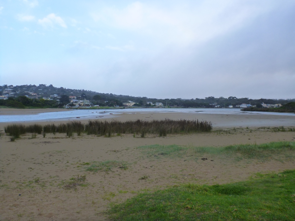
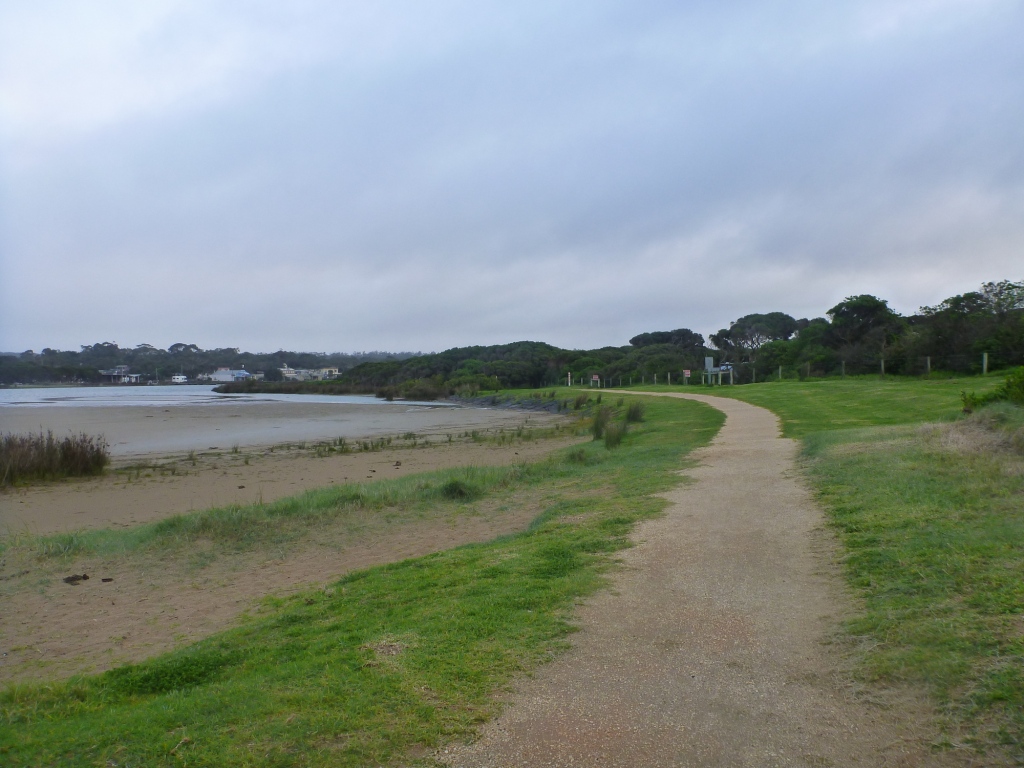
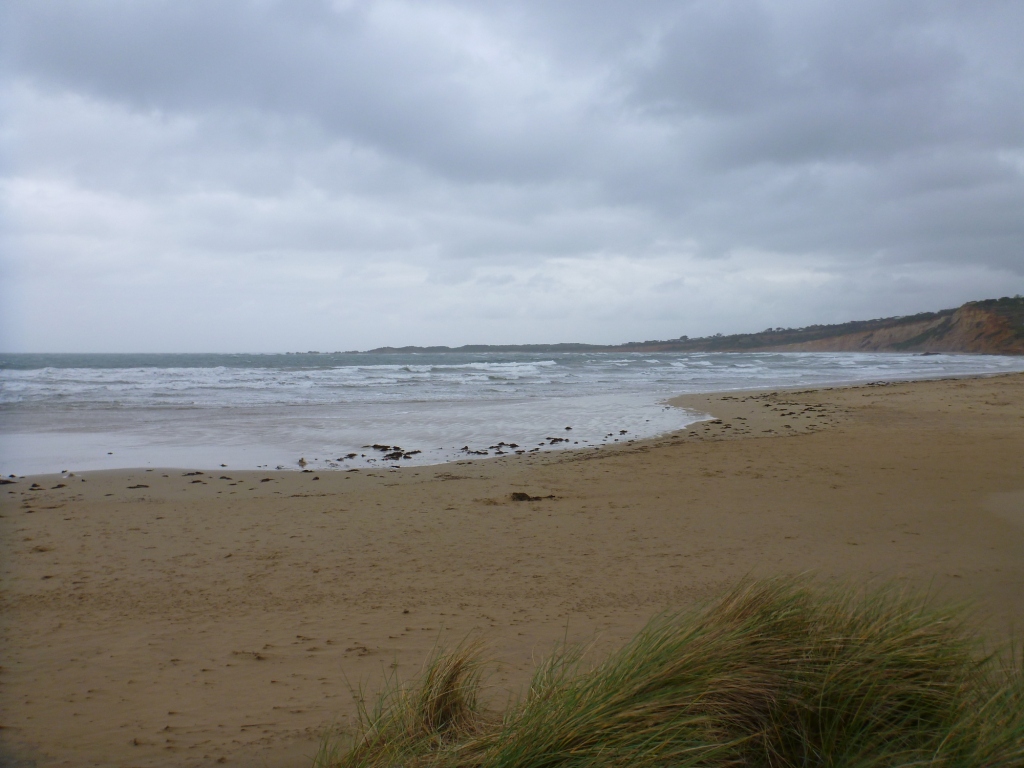
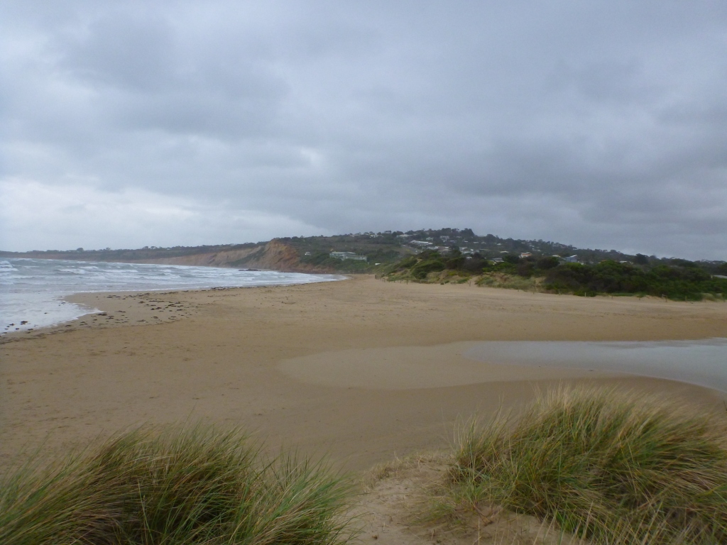
AMC Anglesea River Estuary Mouth Observation Site
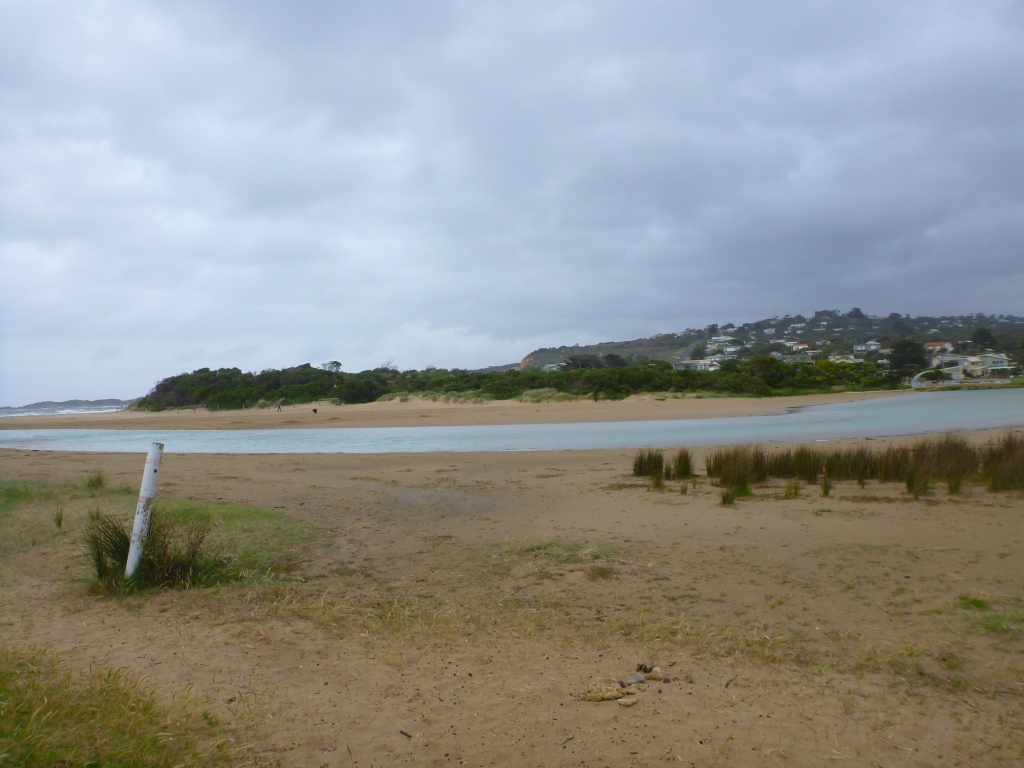
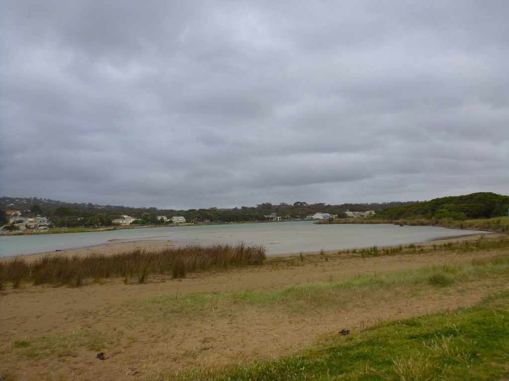
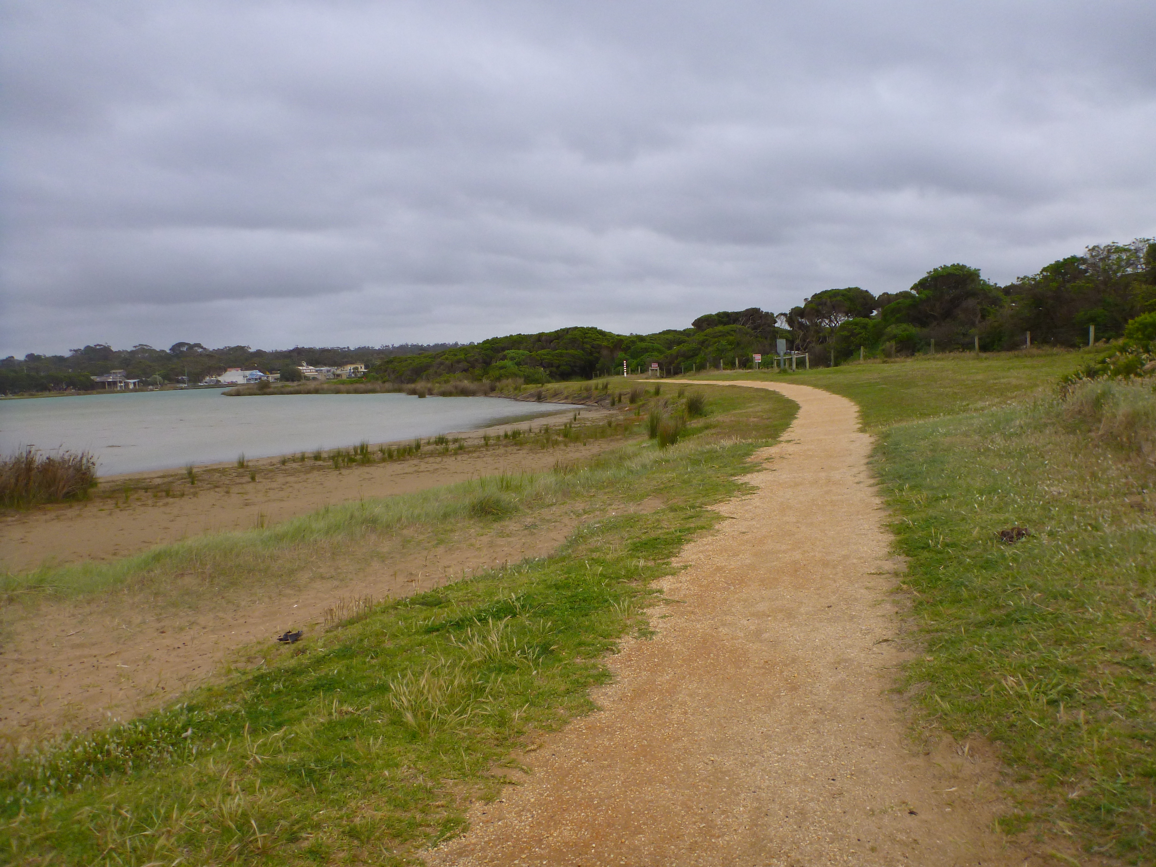
Active Mouth Condition 17-04-2007 - 17-04-2024Anglesea River Estuary
241 results found (Displaying 101 - 110)
| ID | Date | Status | Details | |
|---|---|---|---|---|
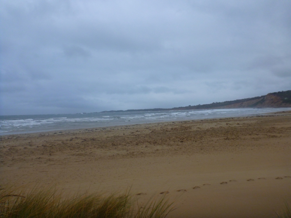
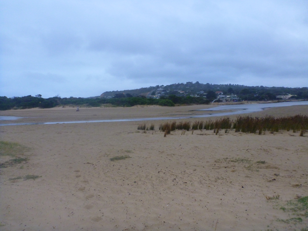
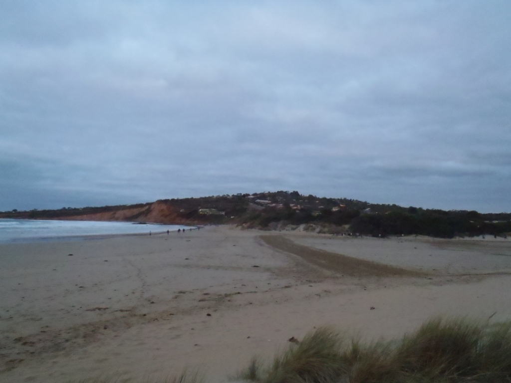
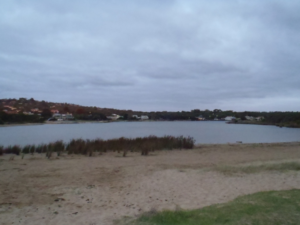
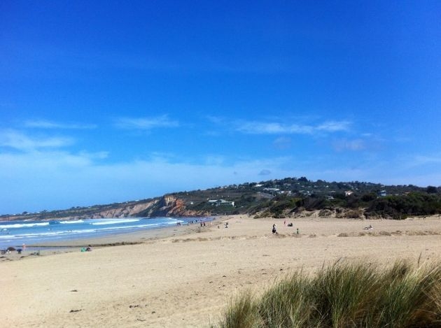
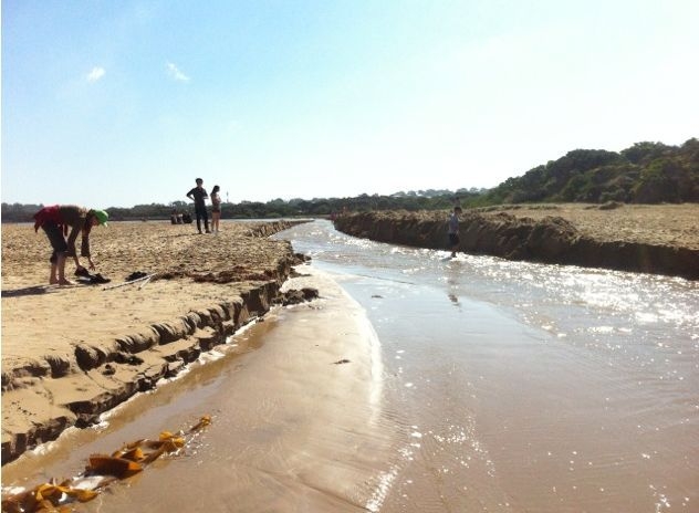
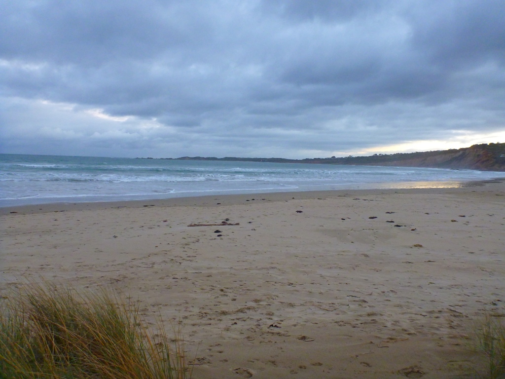
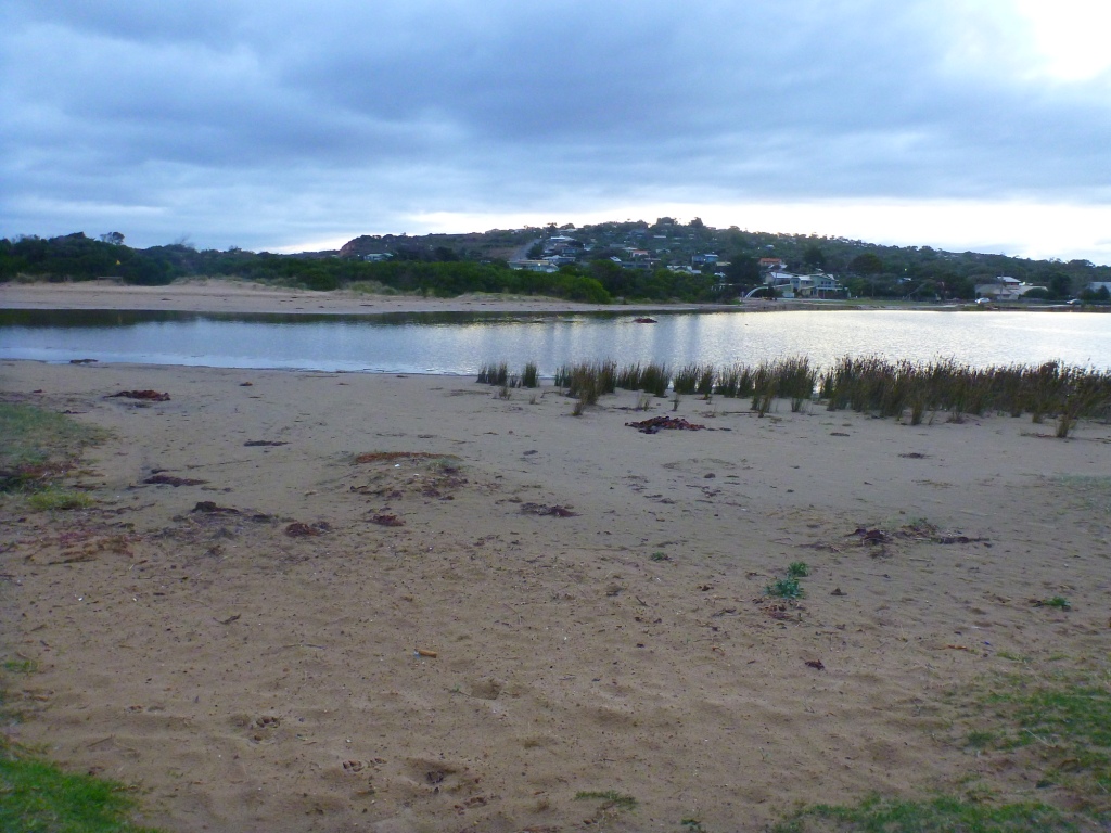
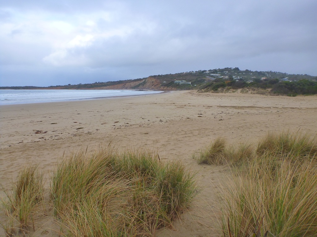
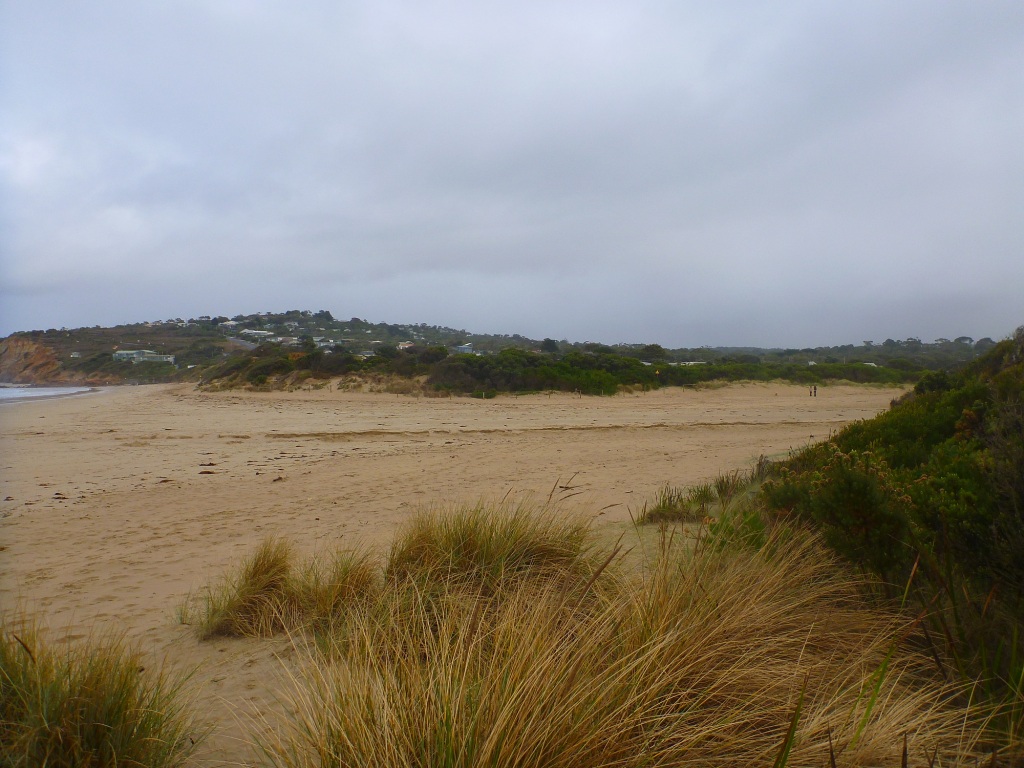
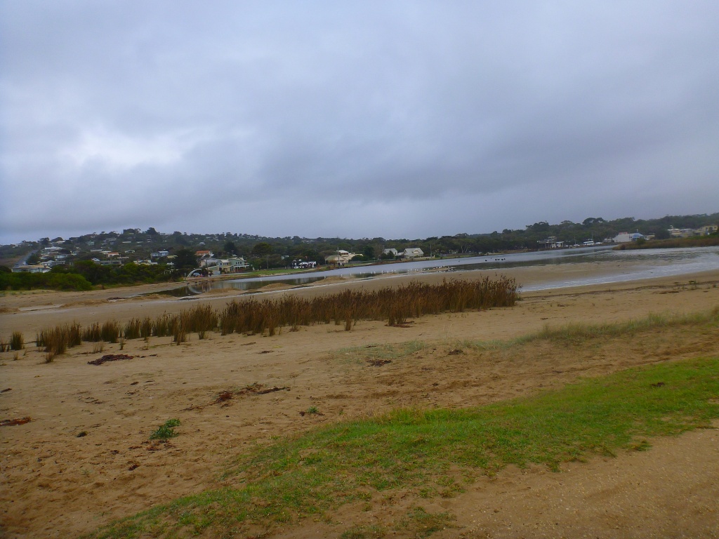
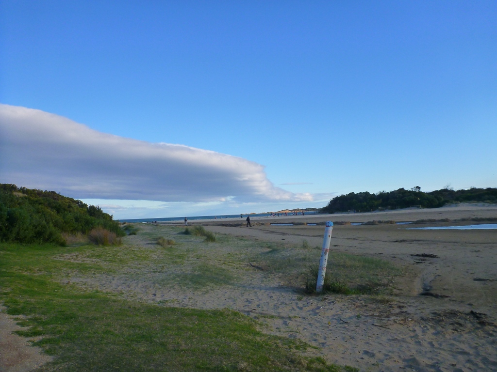
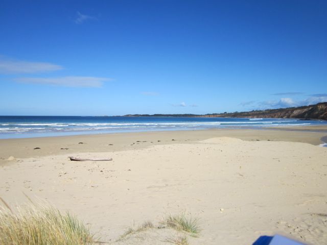
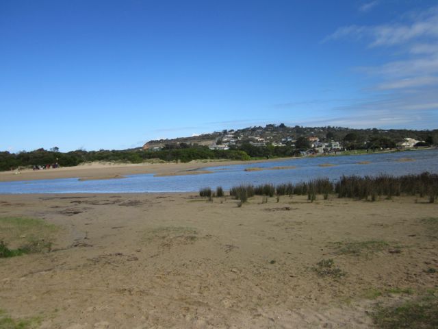
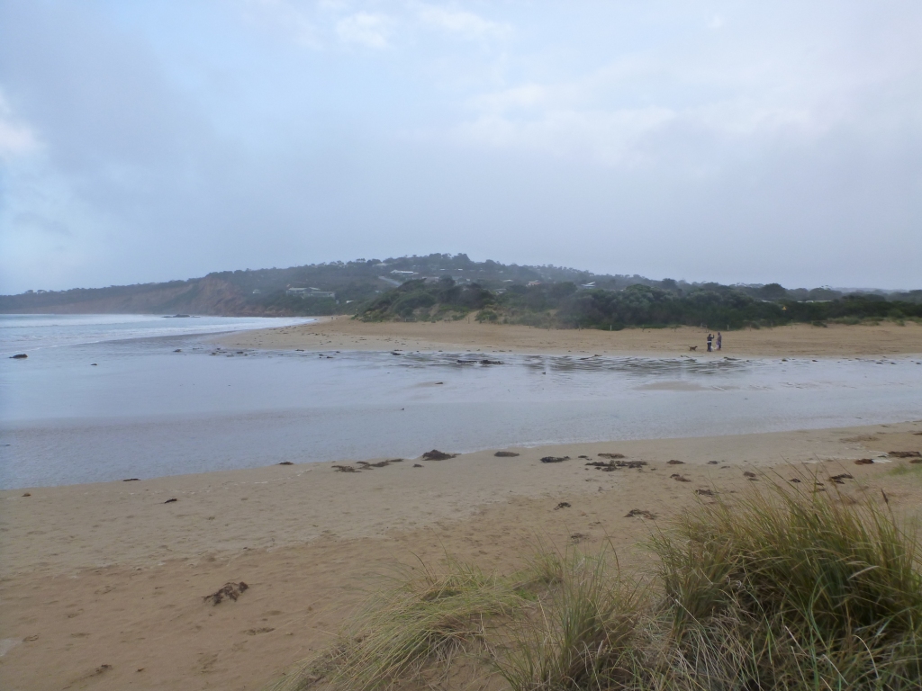
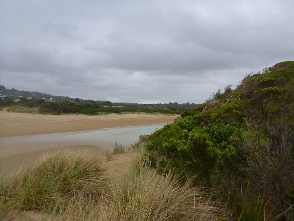
| #8149 | 21 Feb 2013 | Approved | Notes: -You can see where the estuary has been flowing out to sea only hours ago. | |
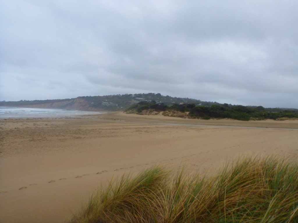
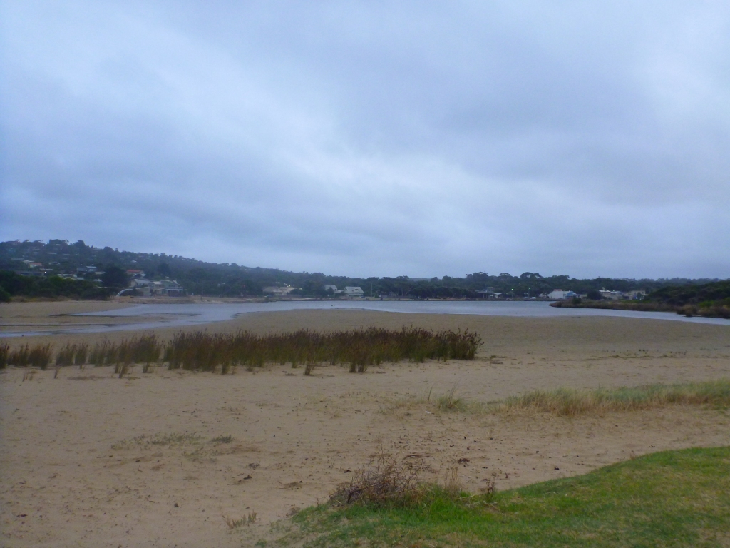
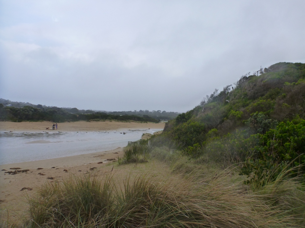
| #8225 | 4 Apr 2013 | Approved |
Notes:
|
|
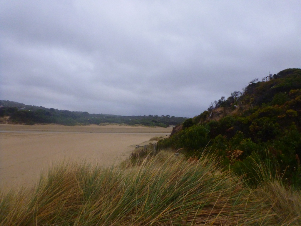
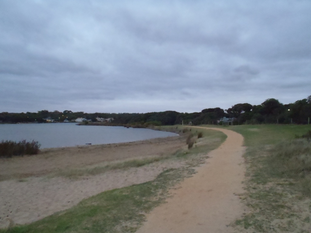
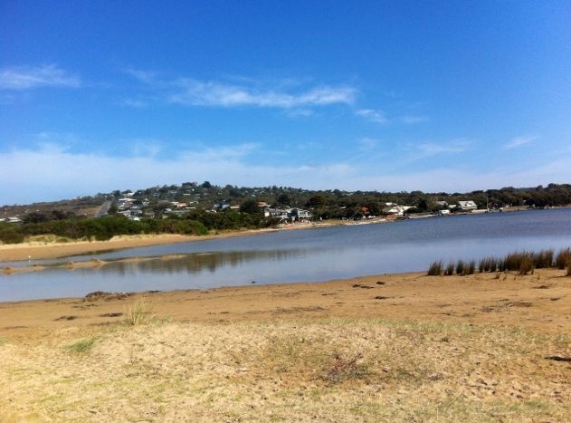
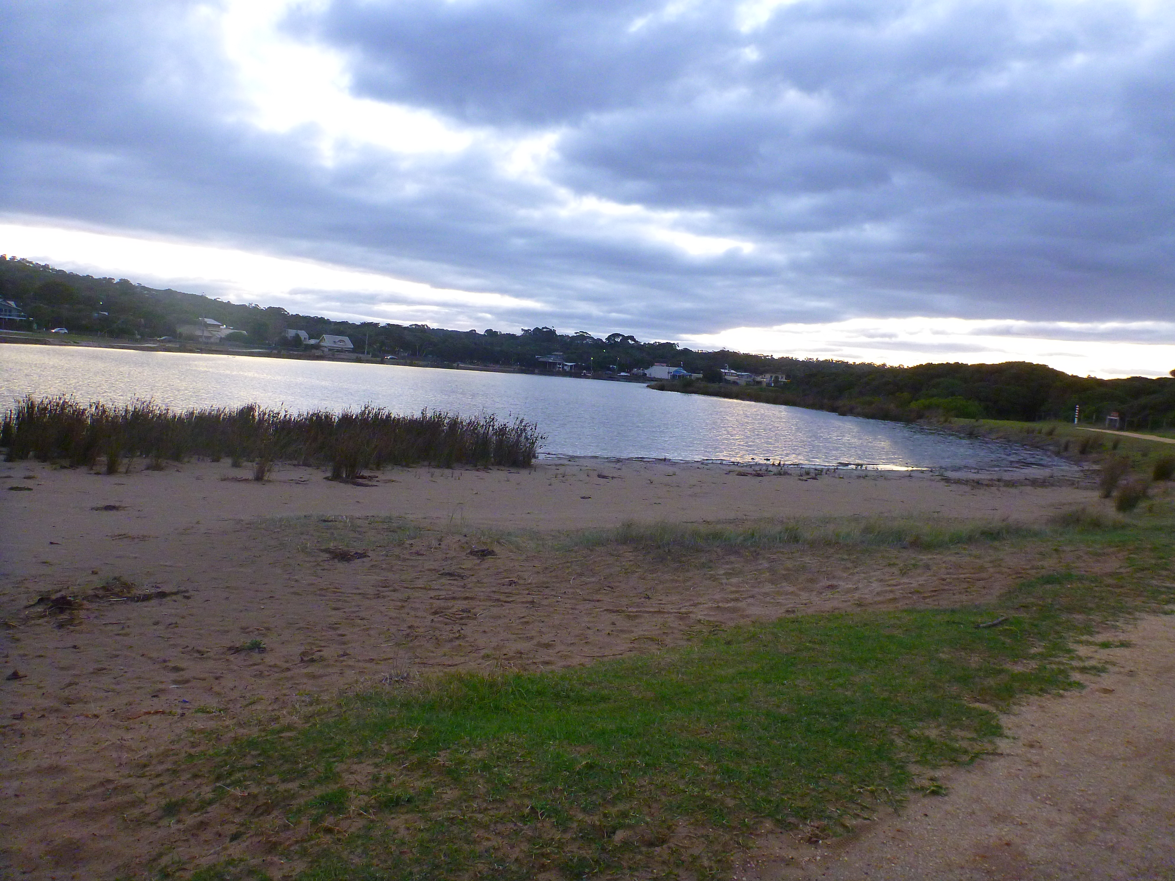
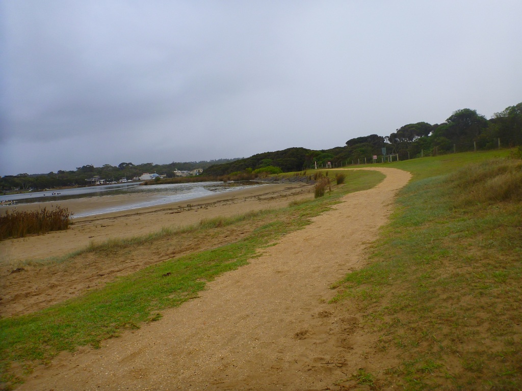
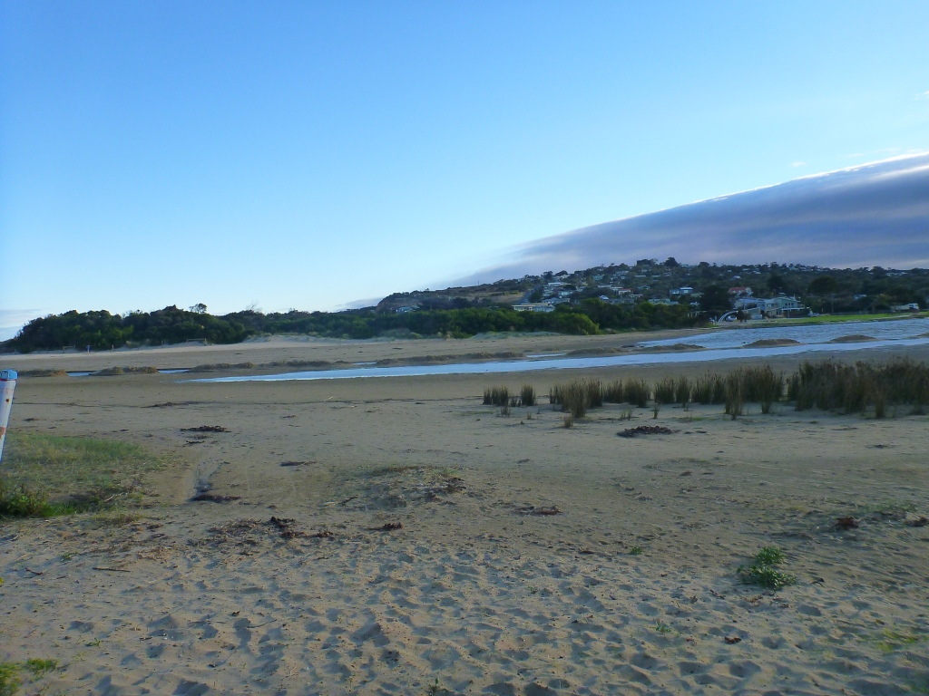
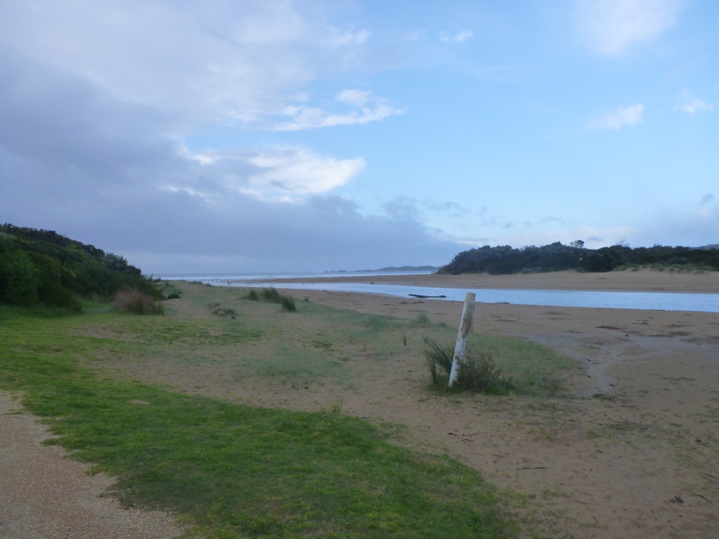
| #8229 | 12 Apr 2013 | Approved | Notes: Estuary was artificially opened on Thursday April 11 by Surf Coast Shire. AHD 1.67 | |
| #8228 | 16 Apr 2013 | Approved | Notes: Estuary was artificially opened on Thursday April 11. The AHD was 1.67m. The estuary closed on Monday April 15. | |
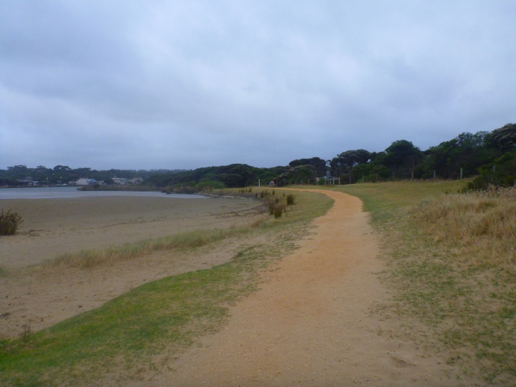
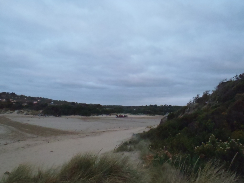
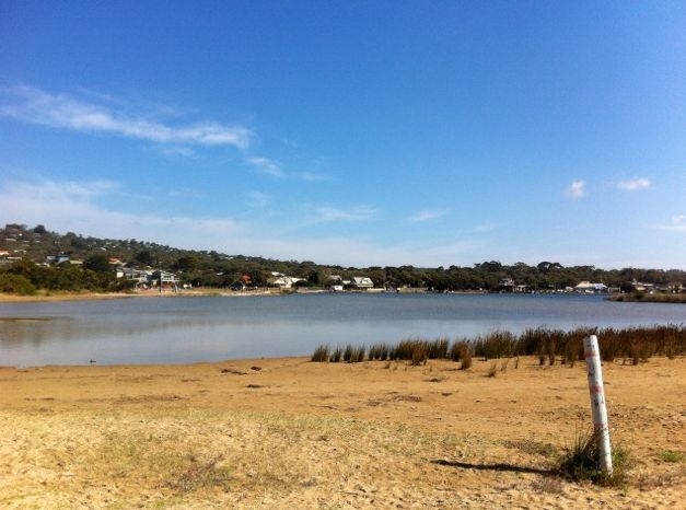
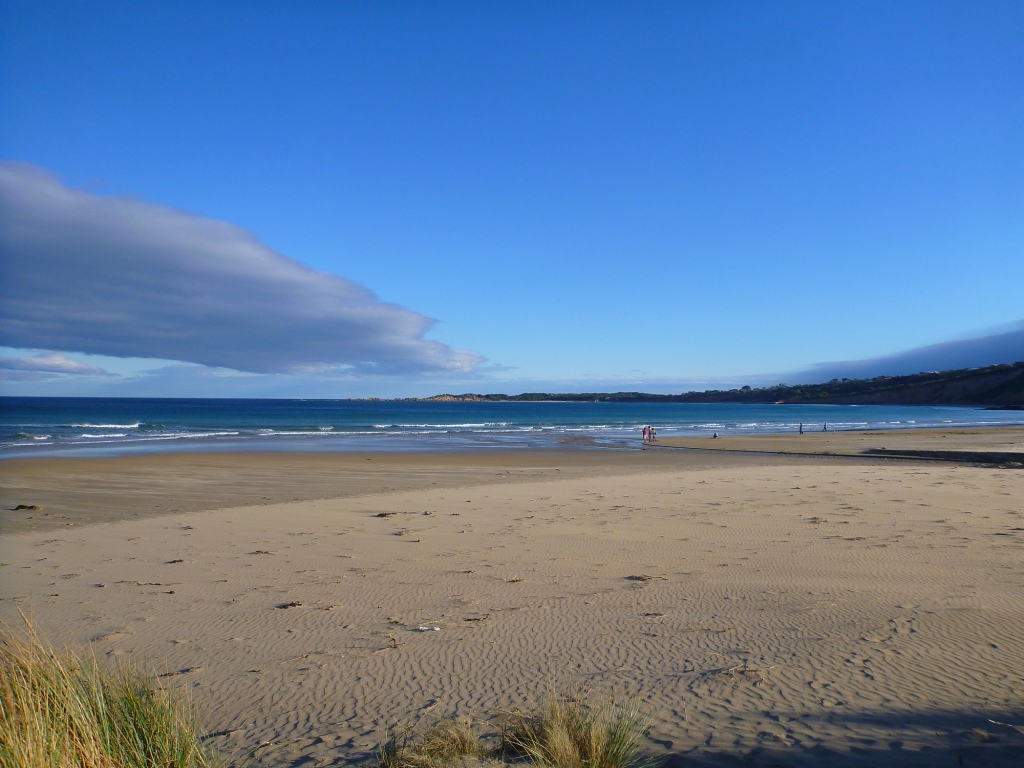
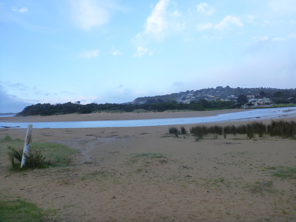
| #8290 | 17 May 2013 | Approved | ||
| #8342 | 27 May 2013 | Approved | ||
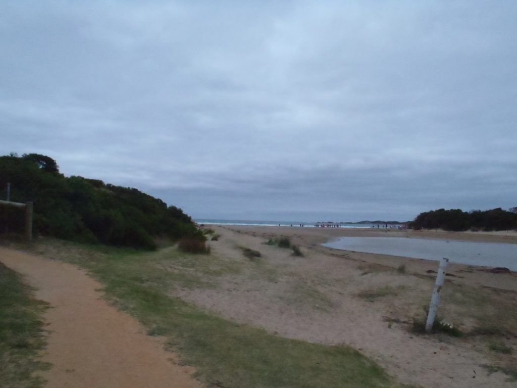
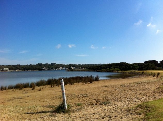
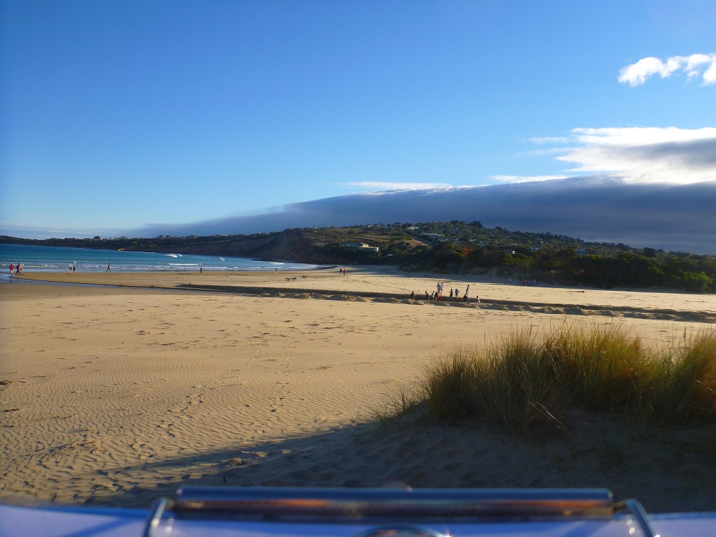
| #8341 | 6 Jun 2013 | Approved | Notes: Estuary was artificially opened on the 05.06.13 | |
| #8440 | 11 Aug 2013 | Approved | Notes: Forgot to get the final water level ht at the bridge. Hopefully you'll be able to follow this up. | |
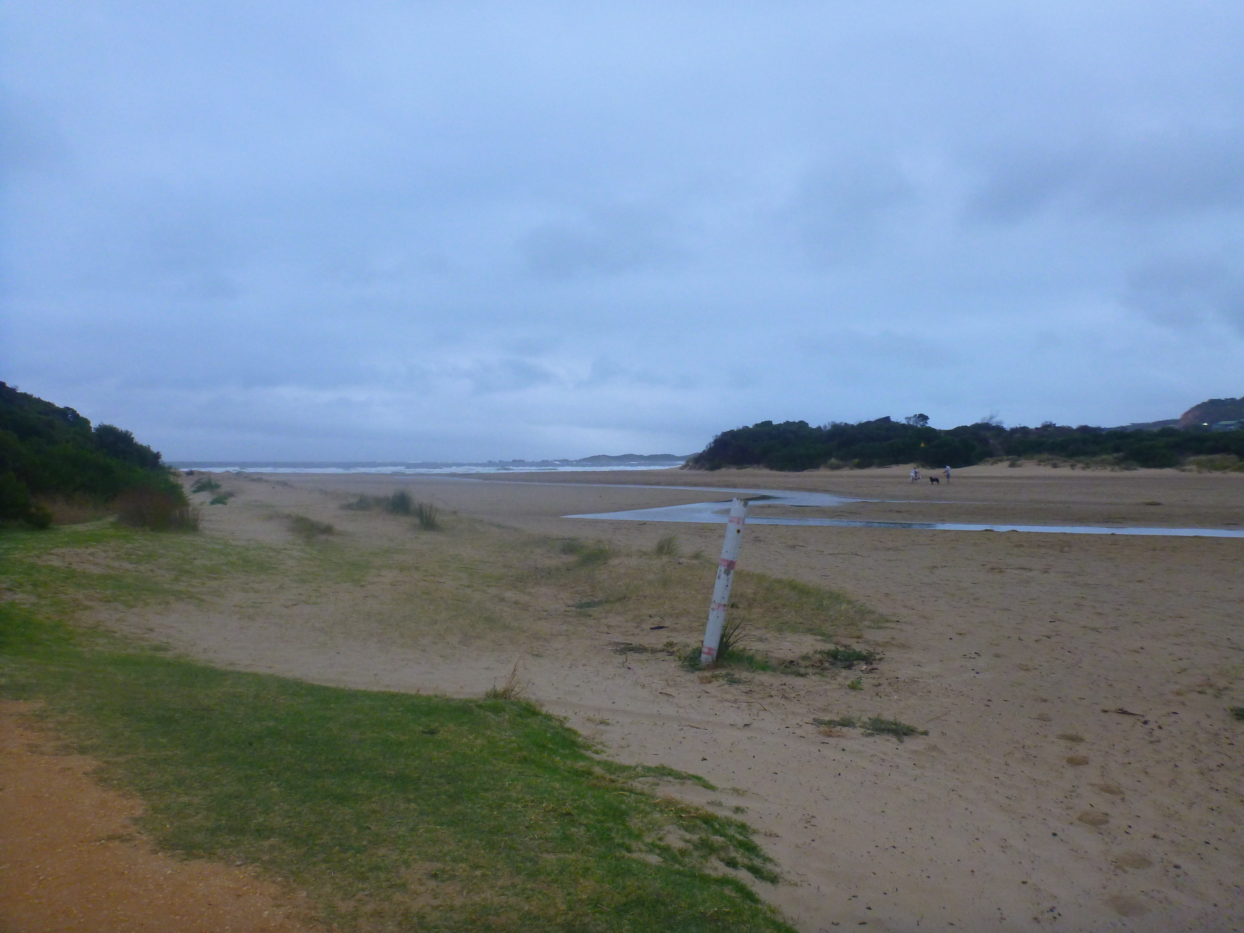
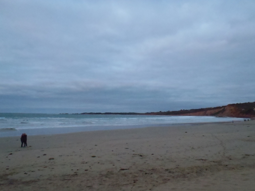
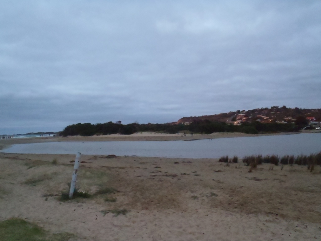
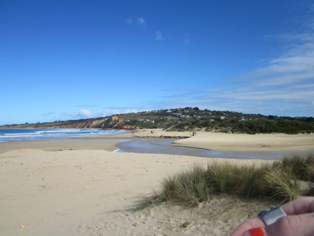
| #8523 | 1 Oct 2013 | Approved | Notes: -One Caspian Tern eating a fish at the mouth of the estuary. | |
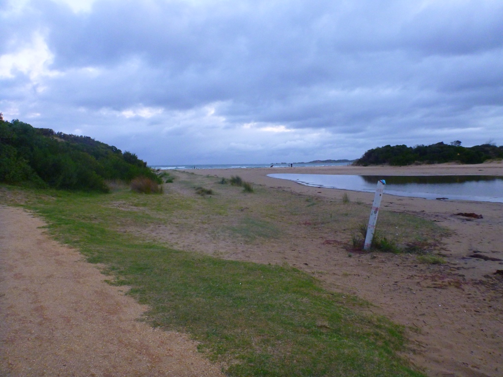
| #8559 | 12 Nov 2013 | Approved | Notes: The berm horizontal length was 24.0m. The strong SE winds were depositing sand at the mouth of the estuary. | |


All content, files, data and images provided by the EstuaryWatch Data Portal and Gallery are subject to a Creative Commons Attribution License
Content is made available to be used in any way, and should always attribute EstuaryWatch and www.estuarywatch.org.au