EstuaryWatch Data Portal
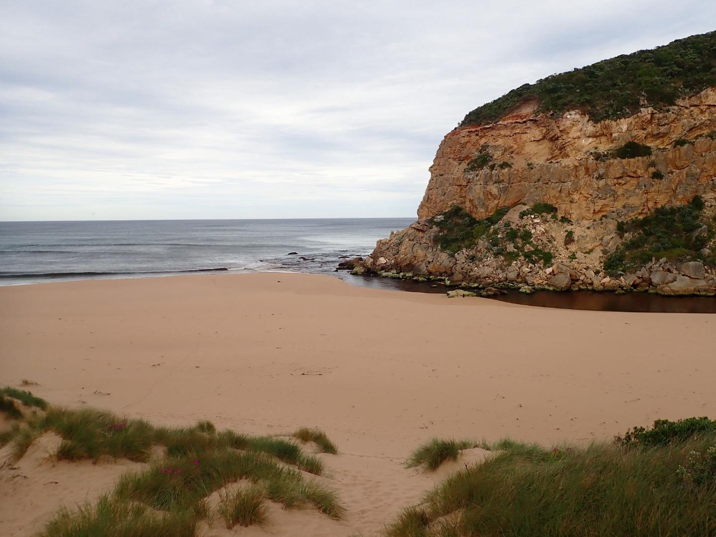
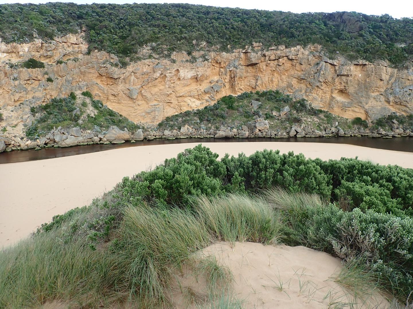
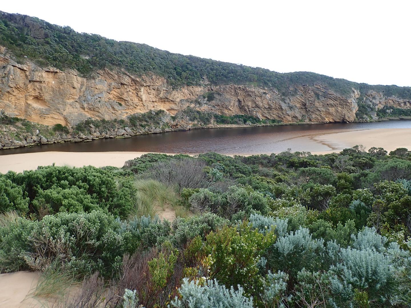
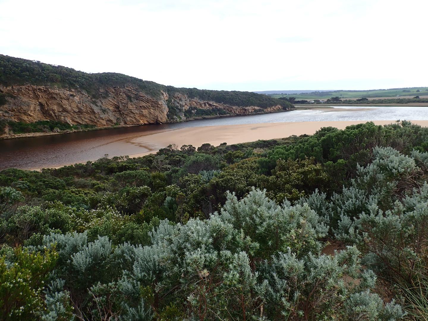
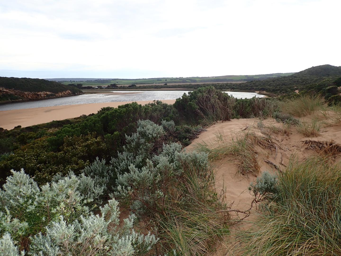
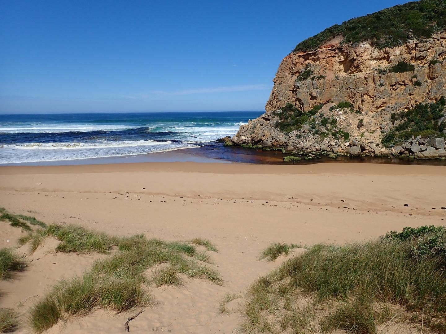
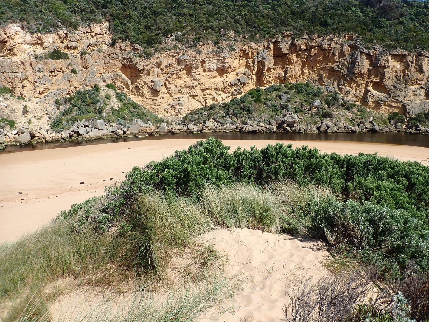
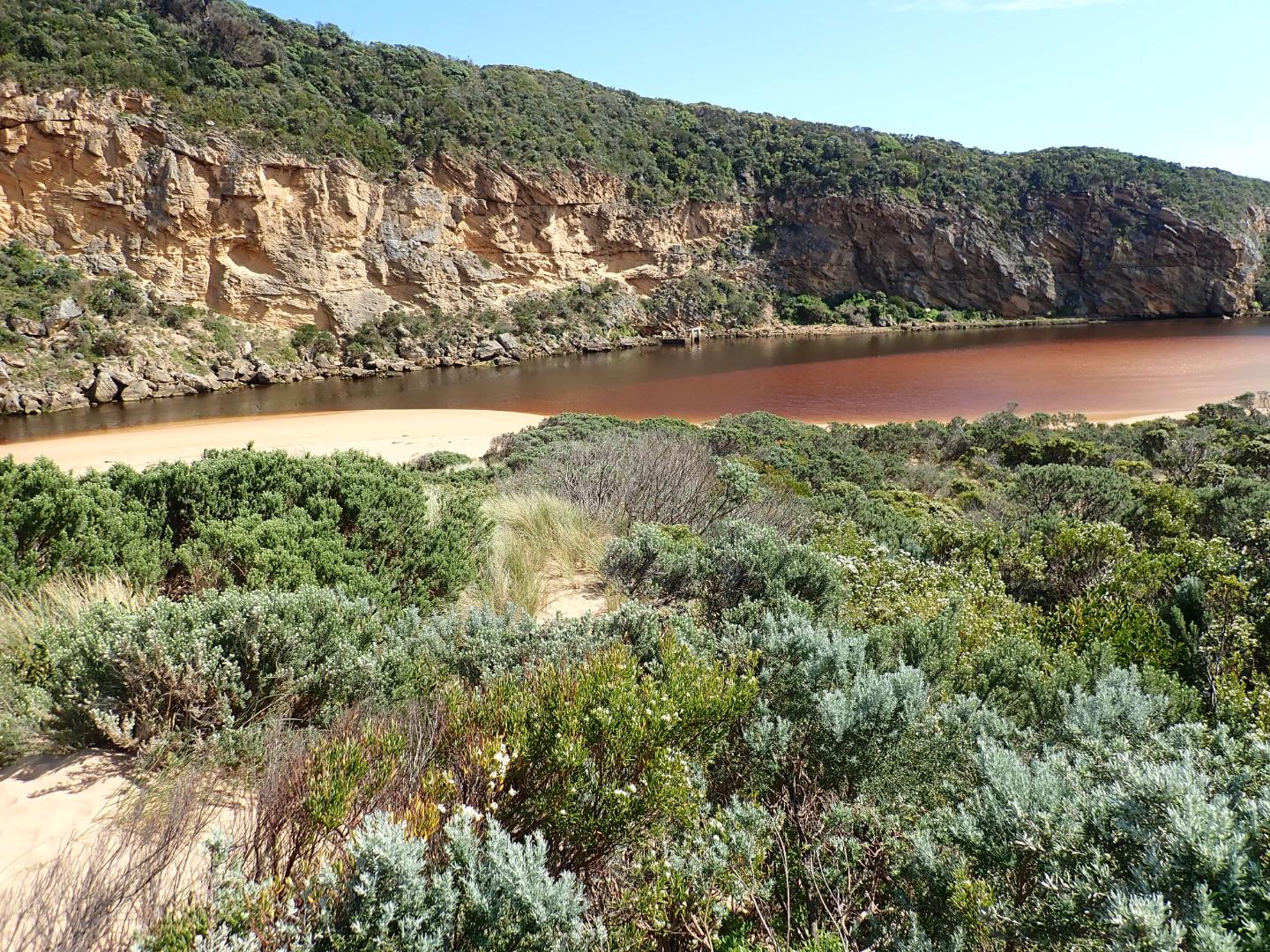
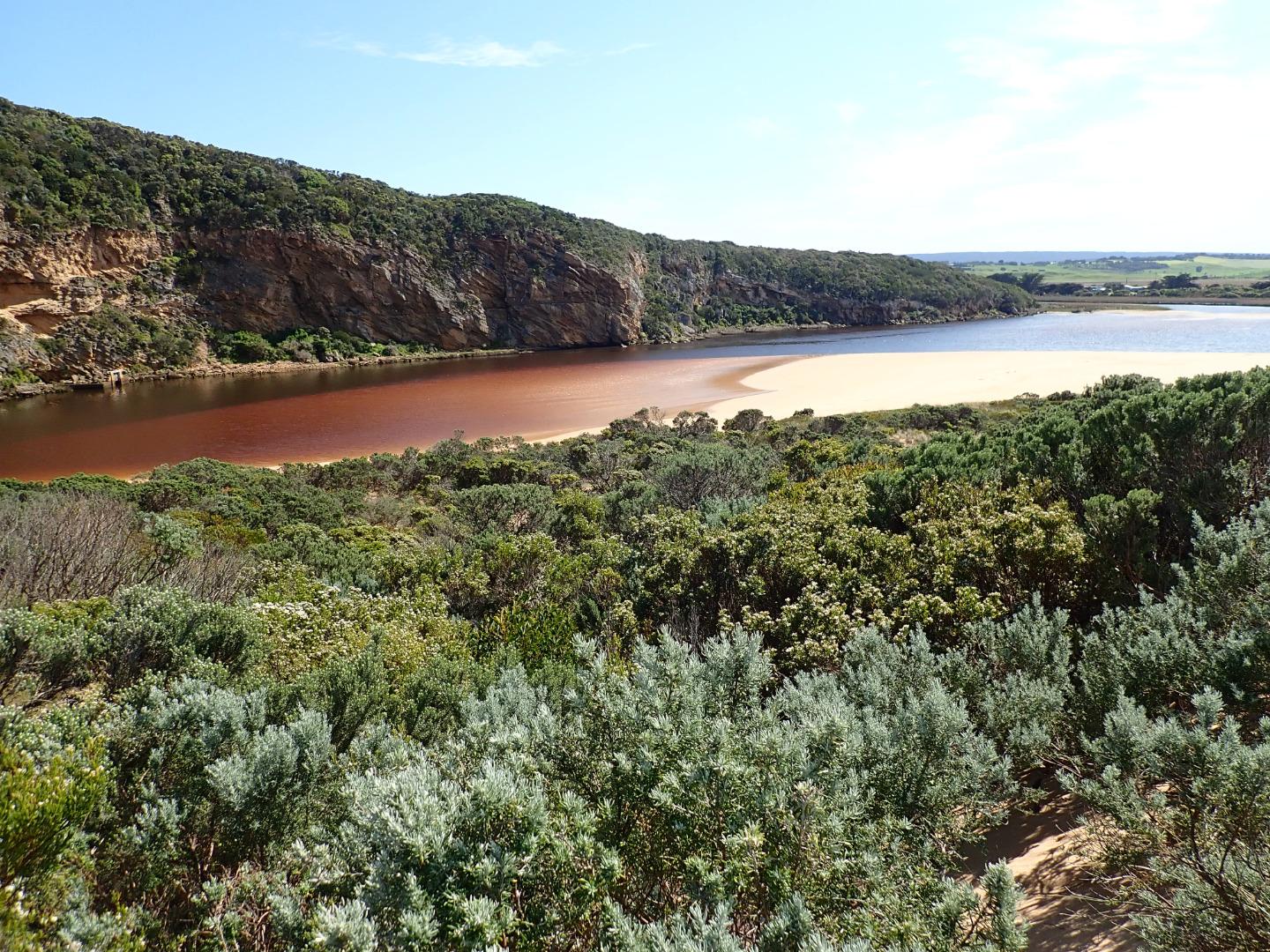
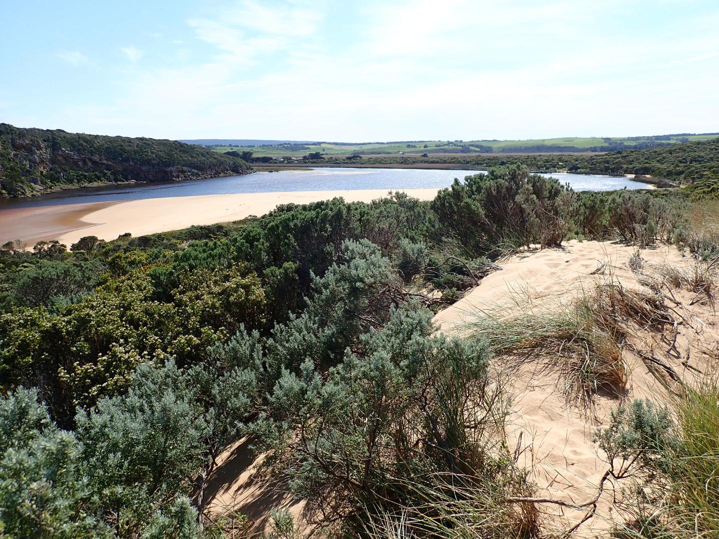
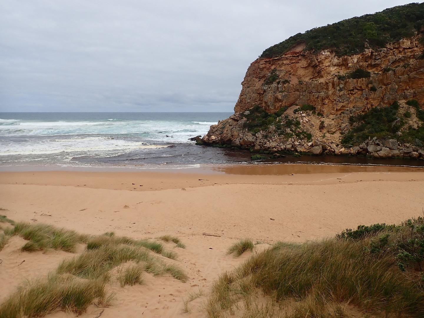
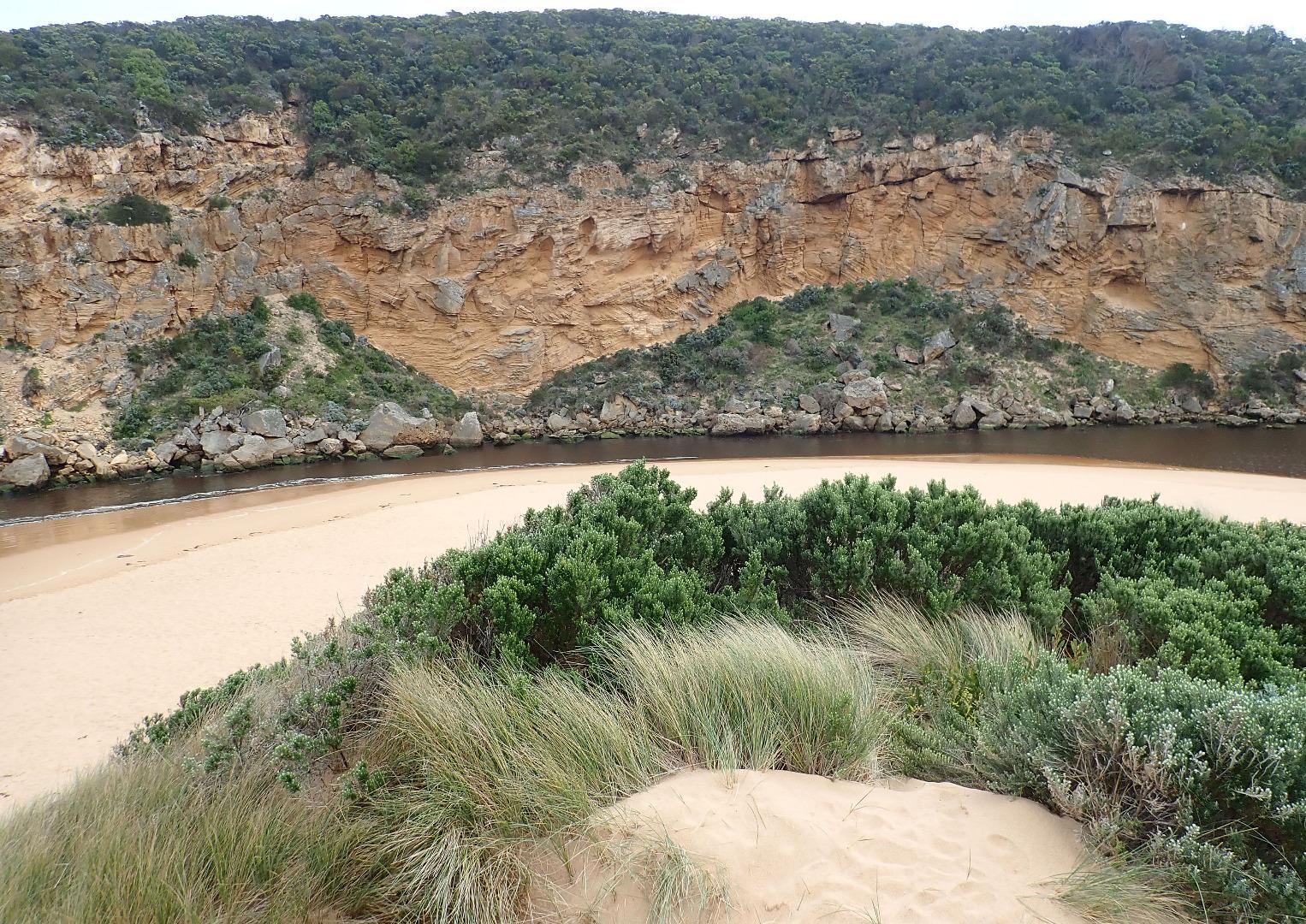
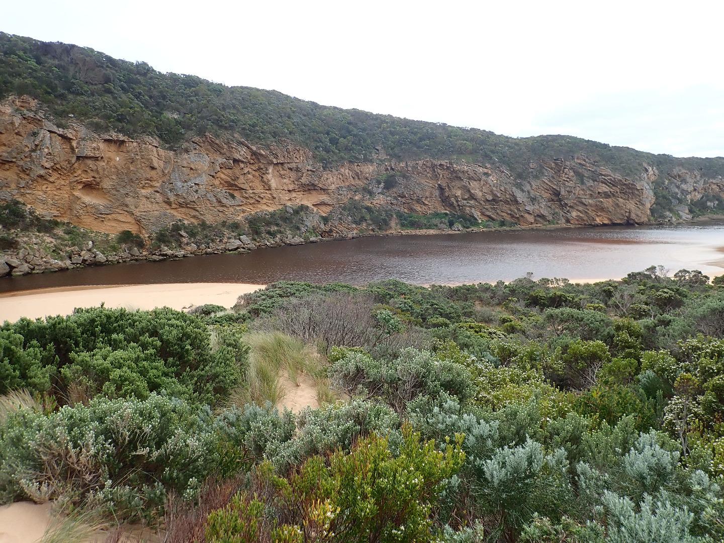
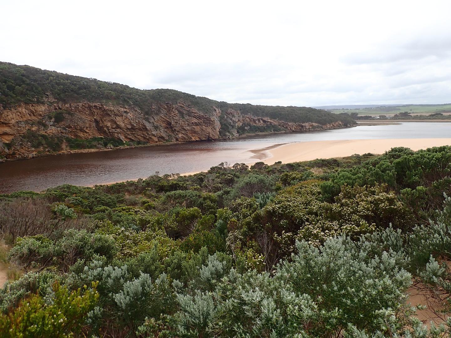
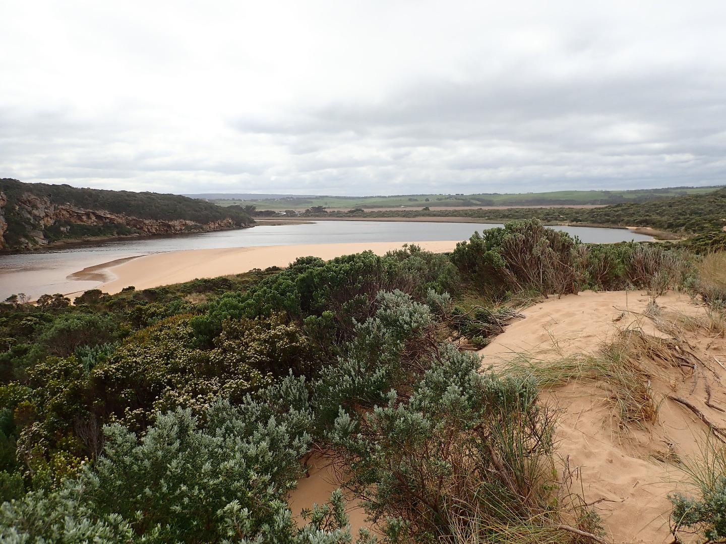
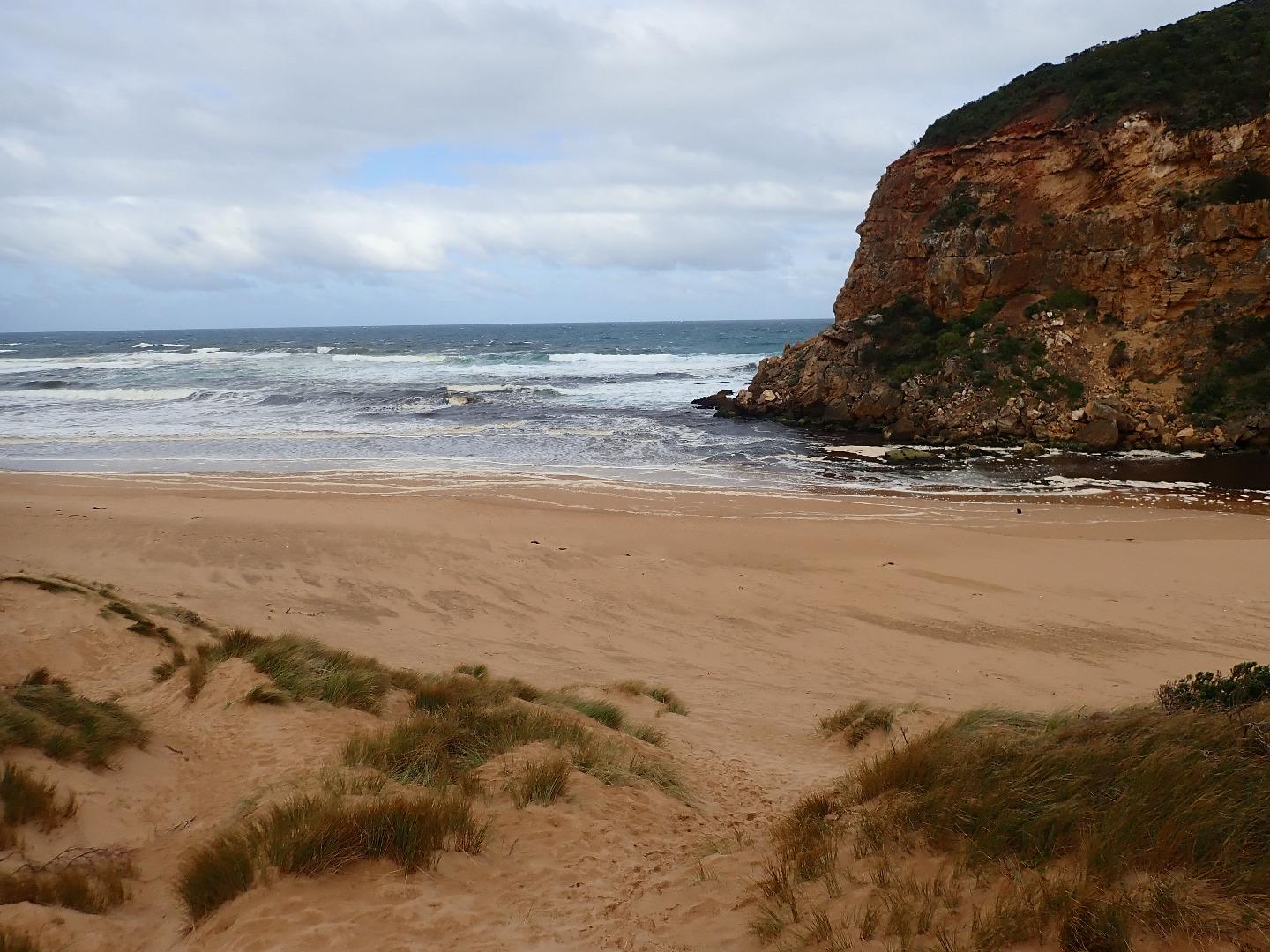
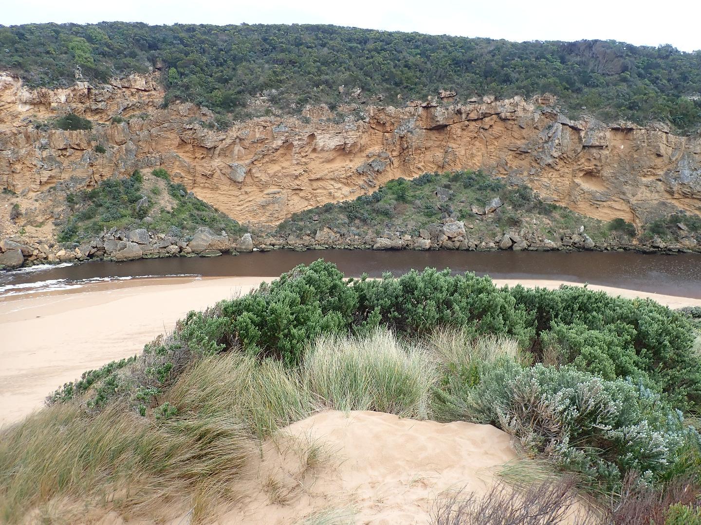
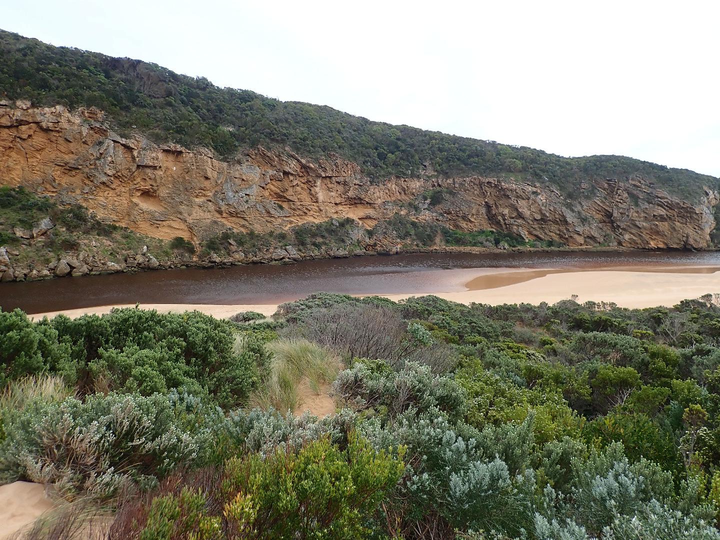
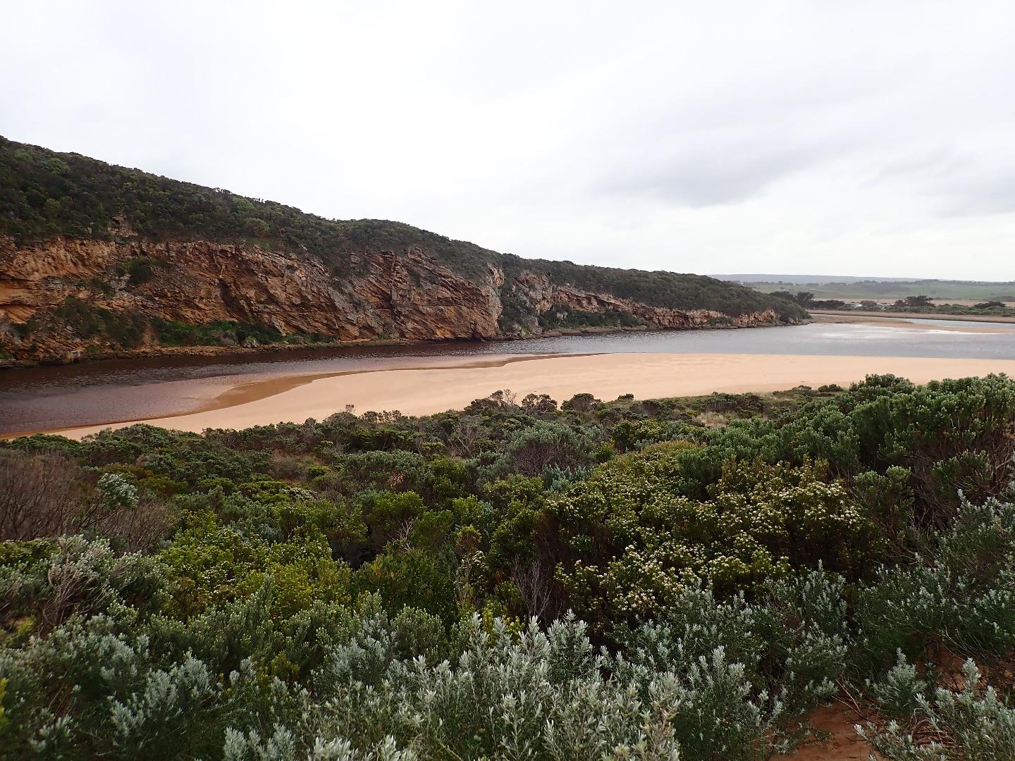
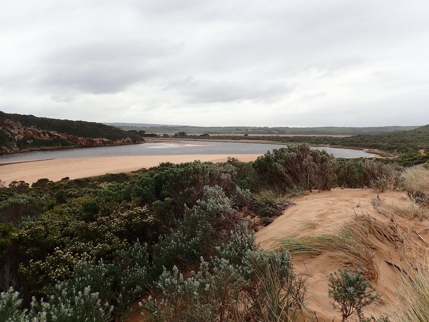
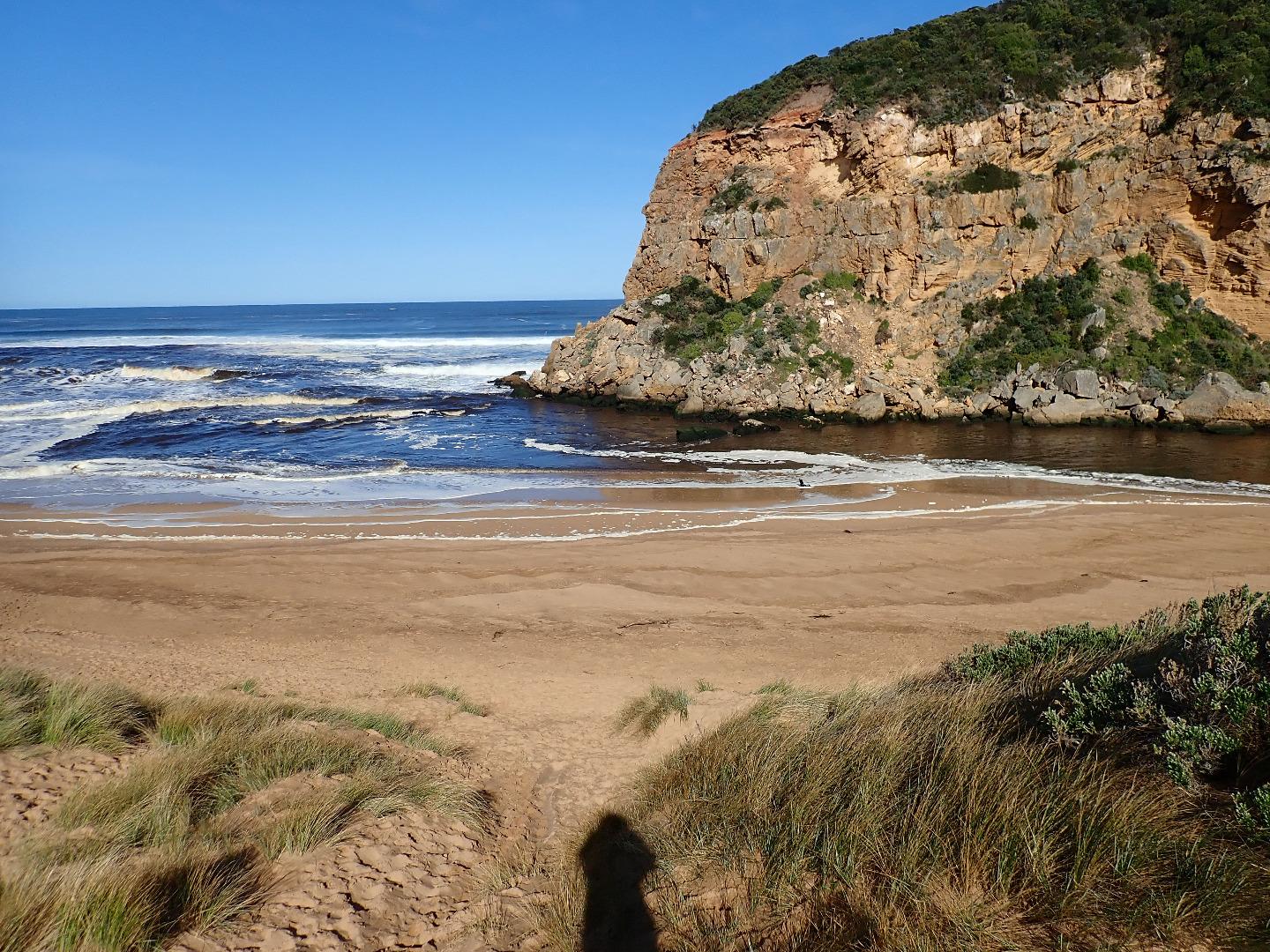
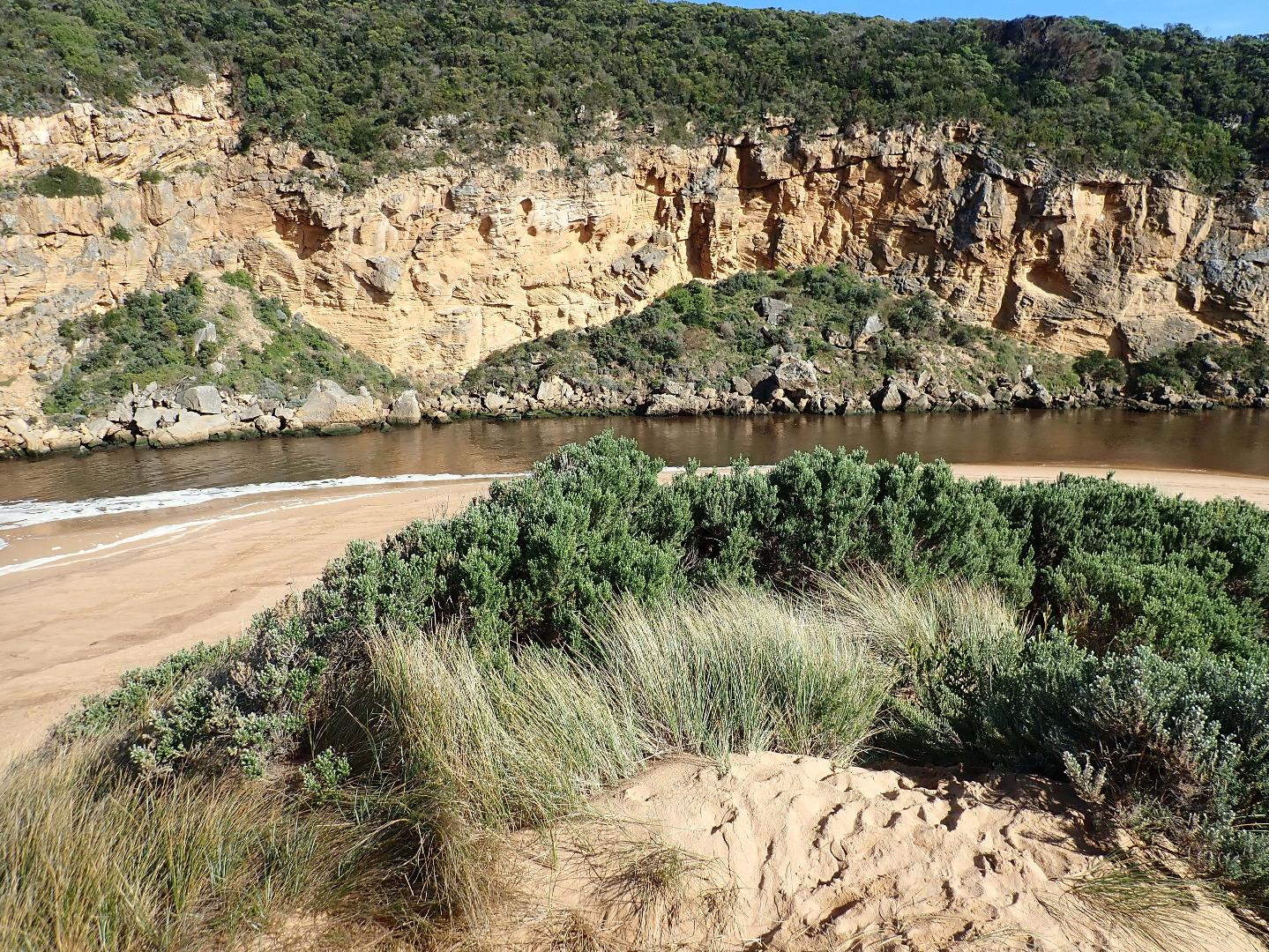
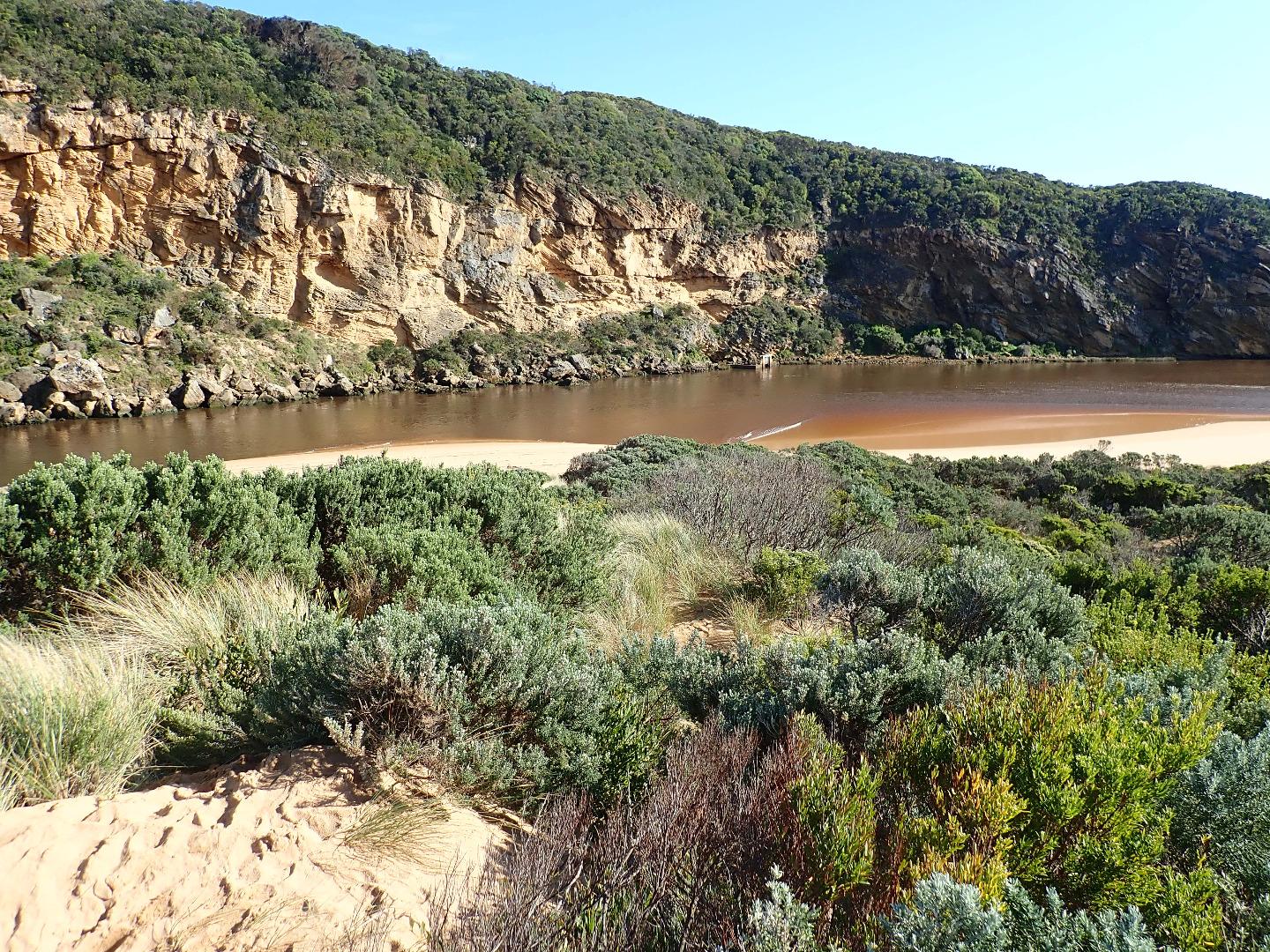
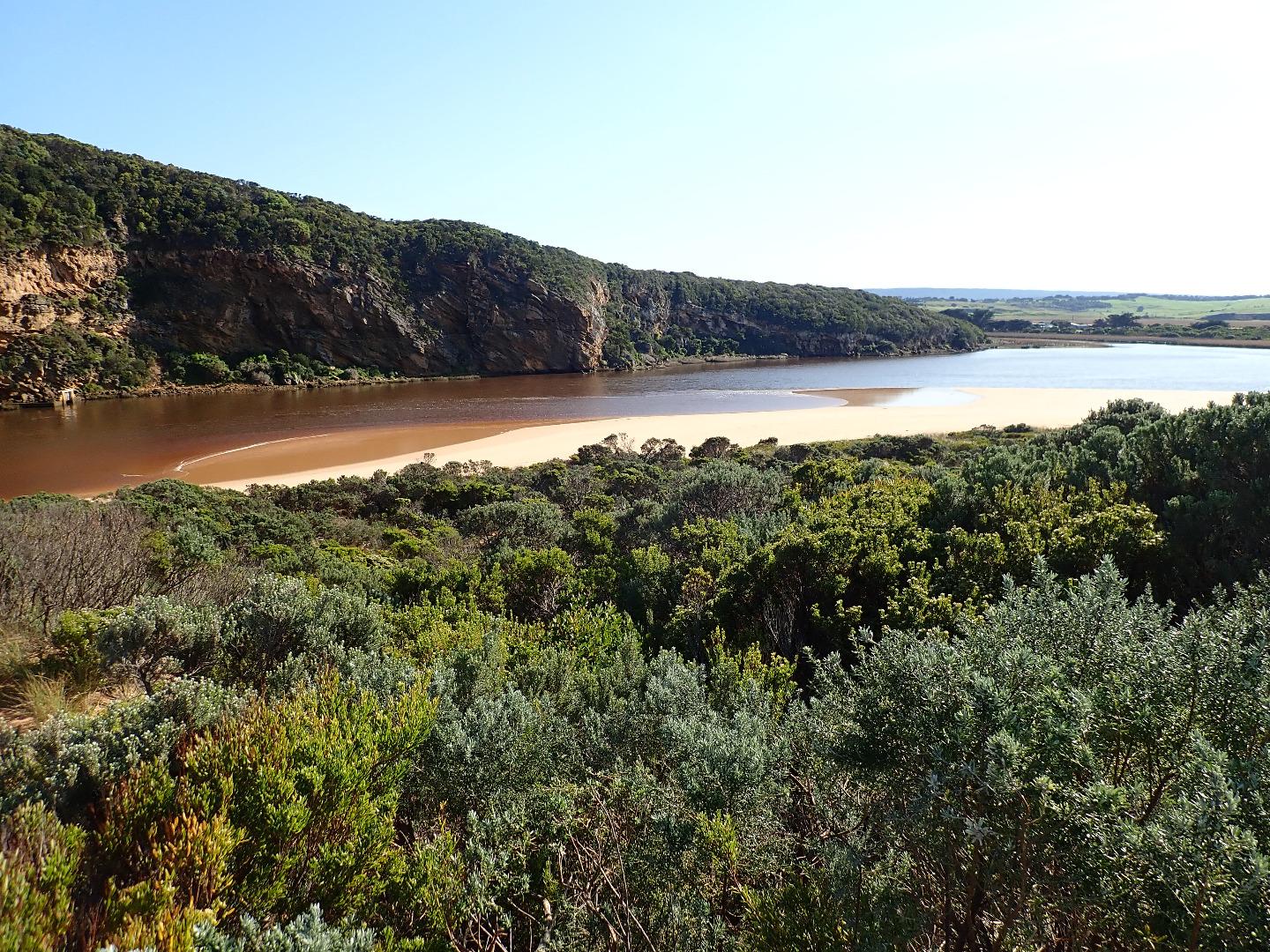
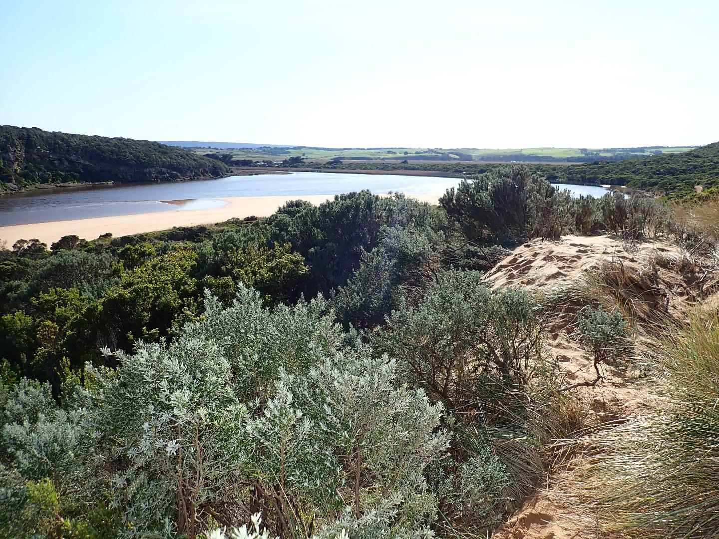
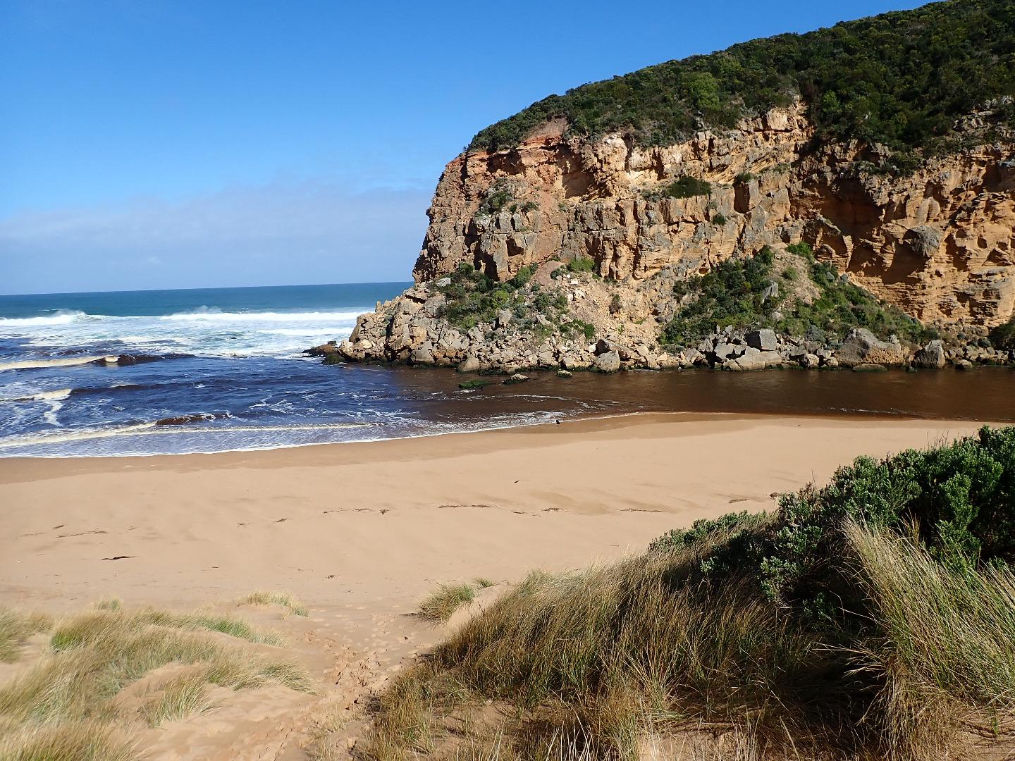
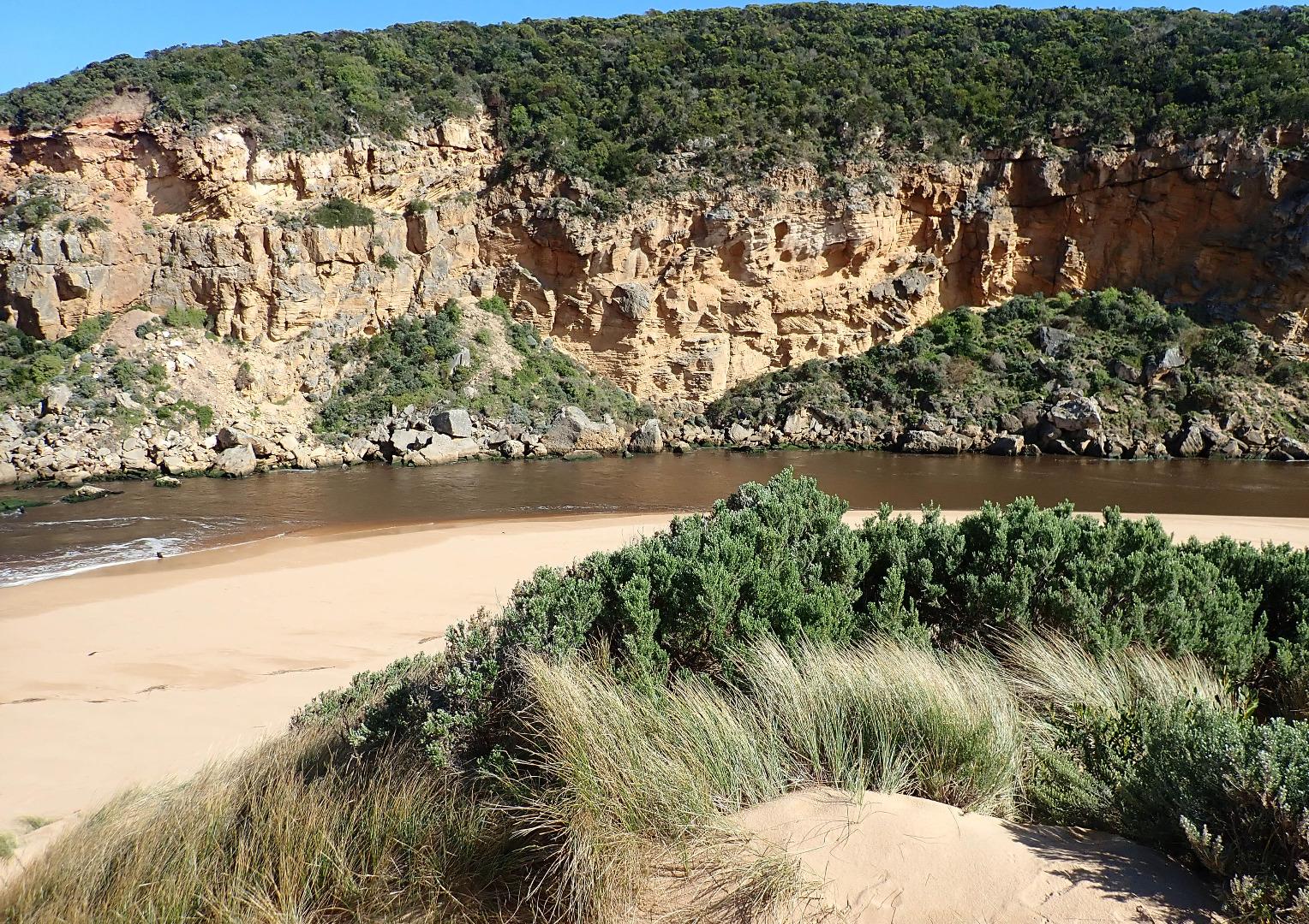
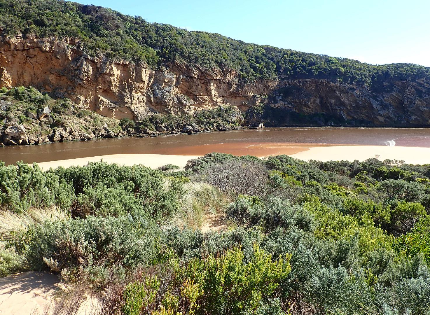
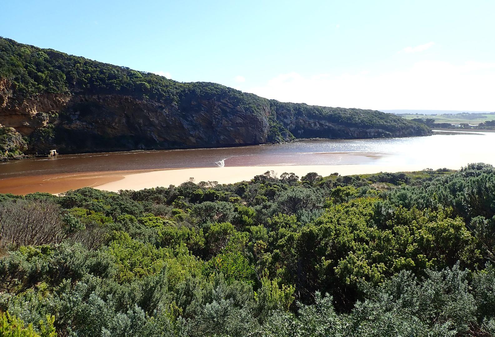
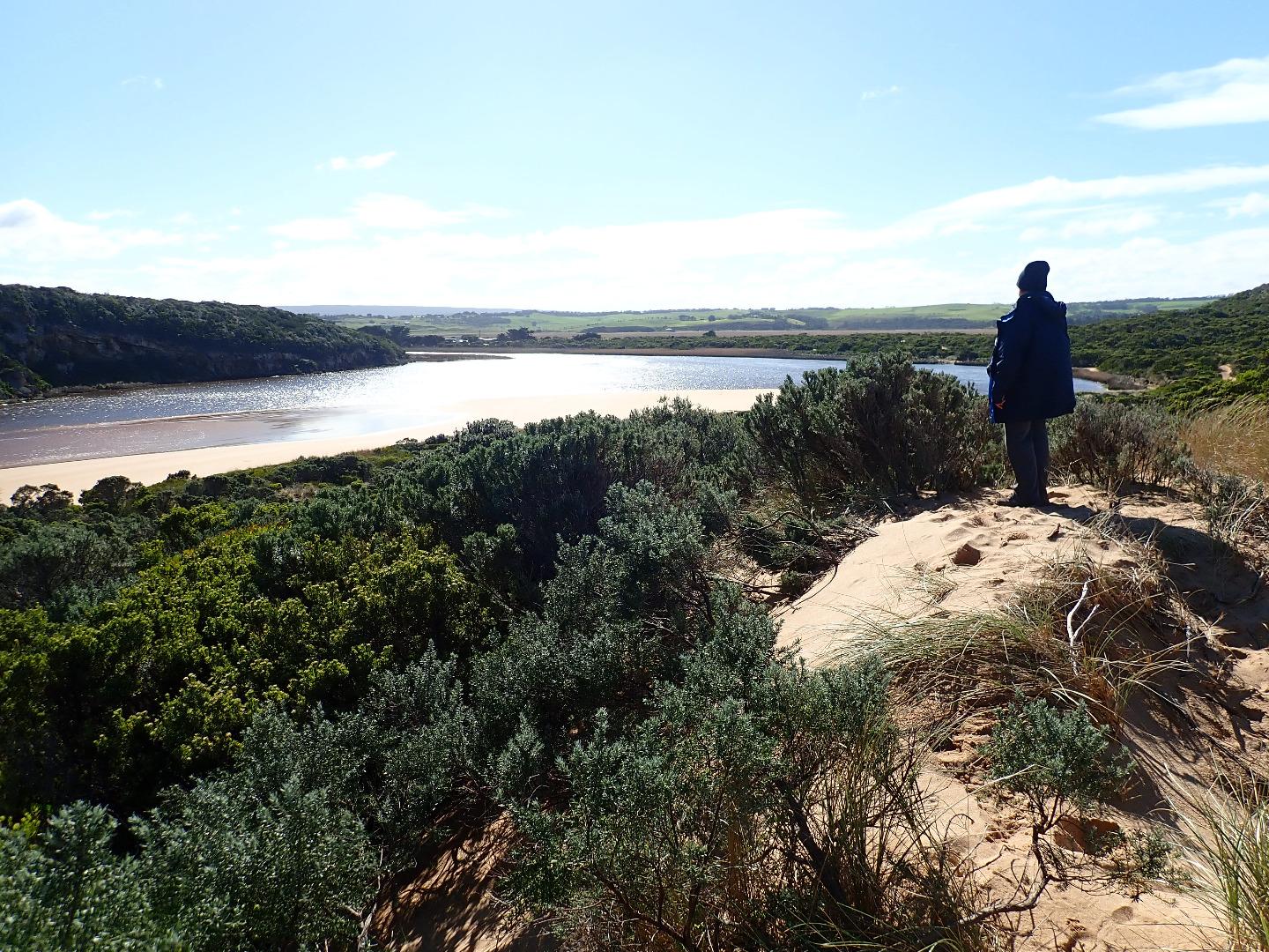
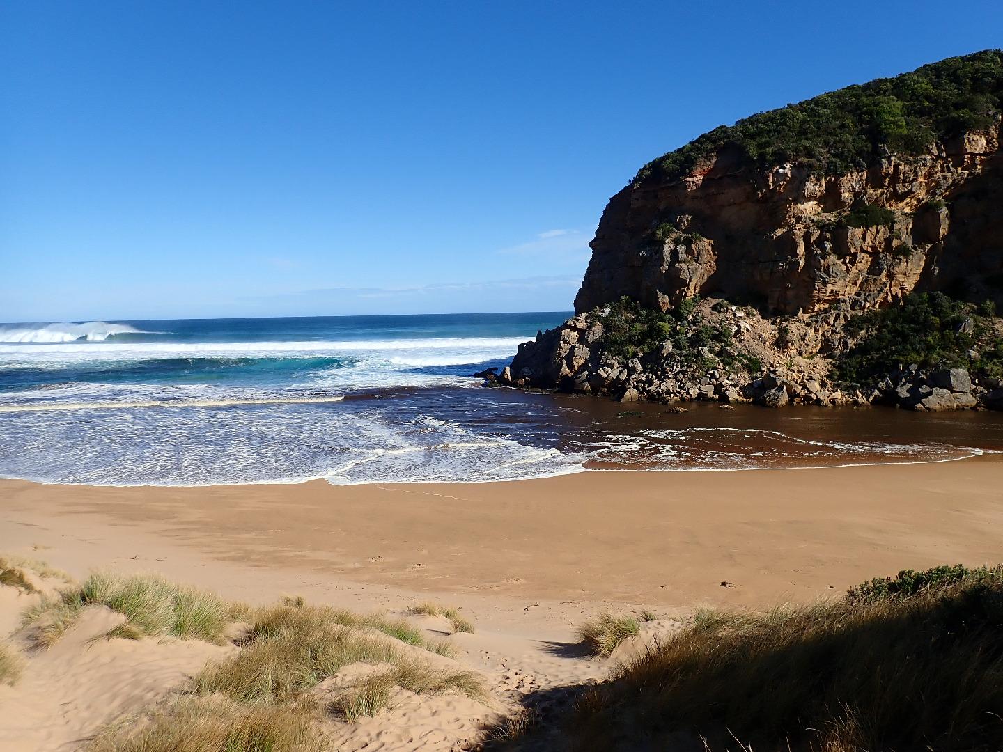
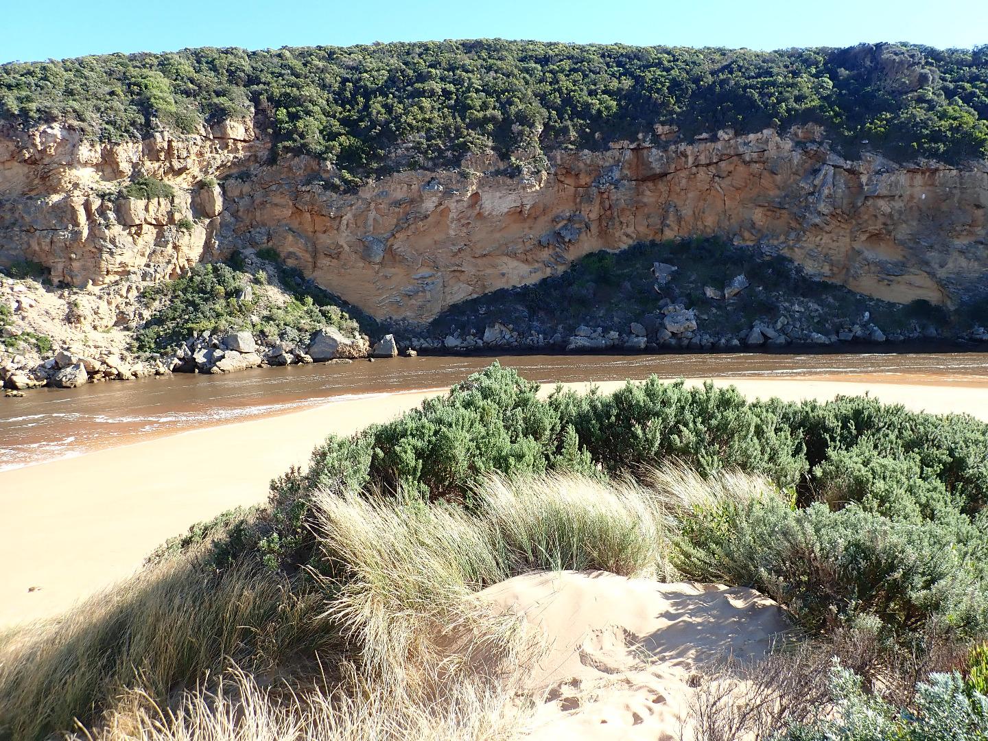
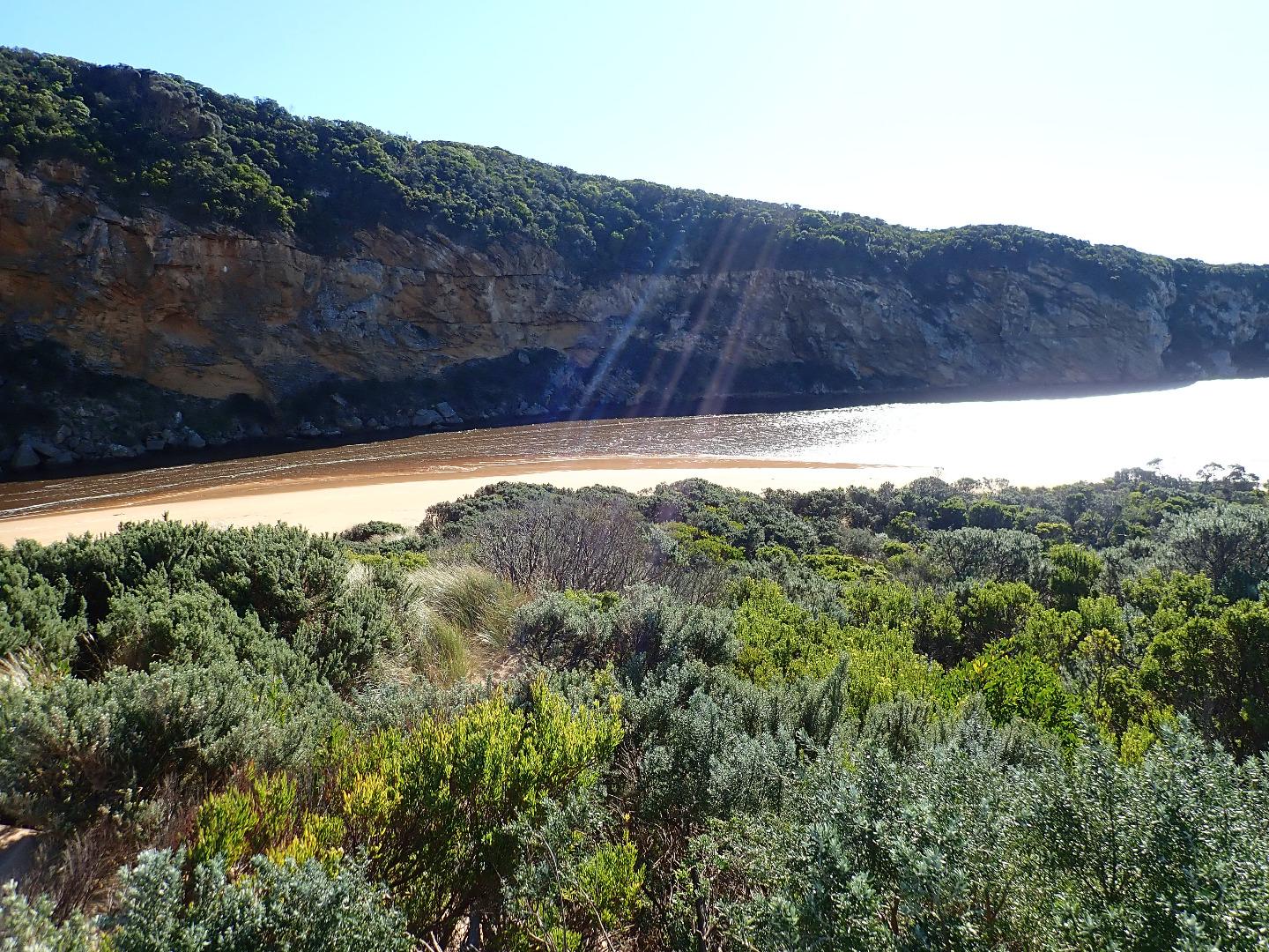
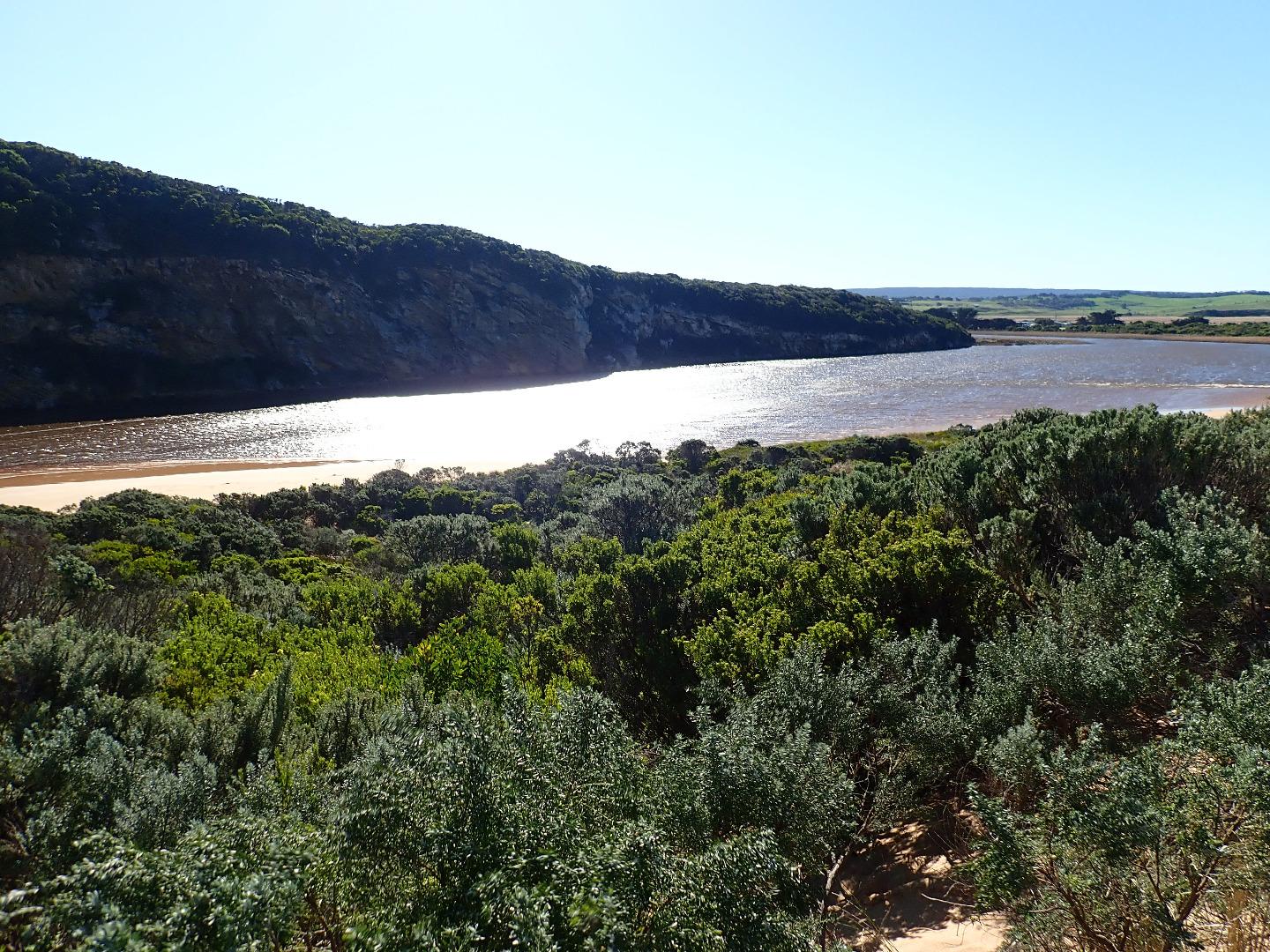
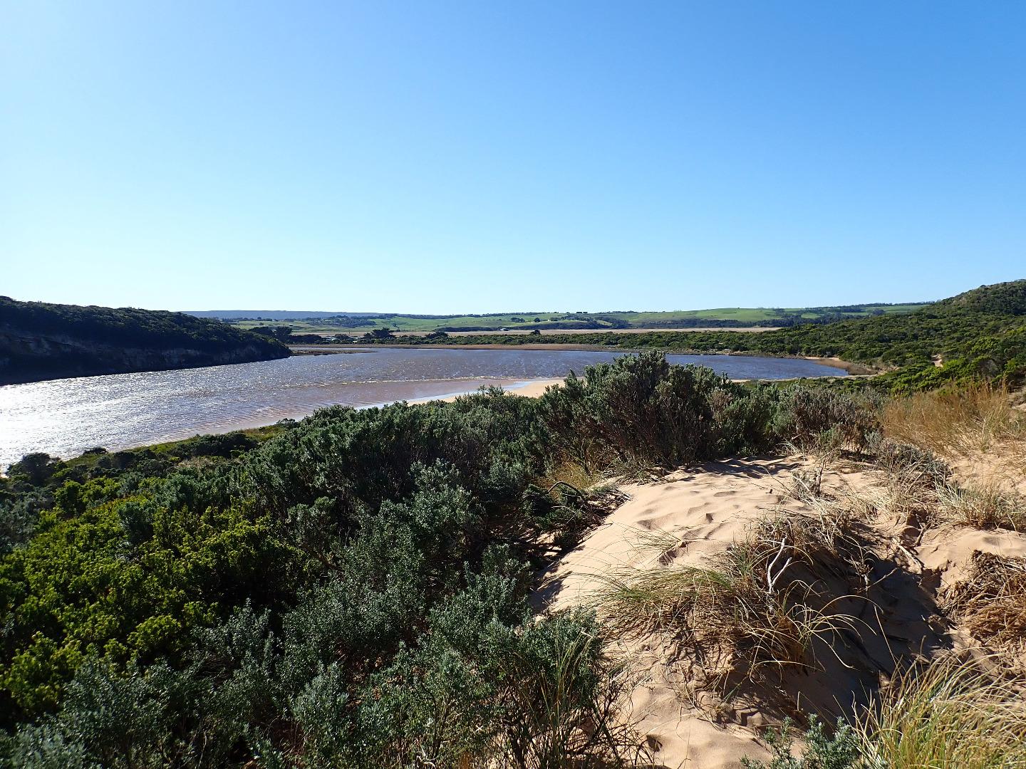
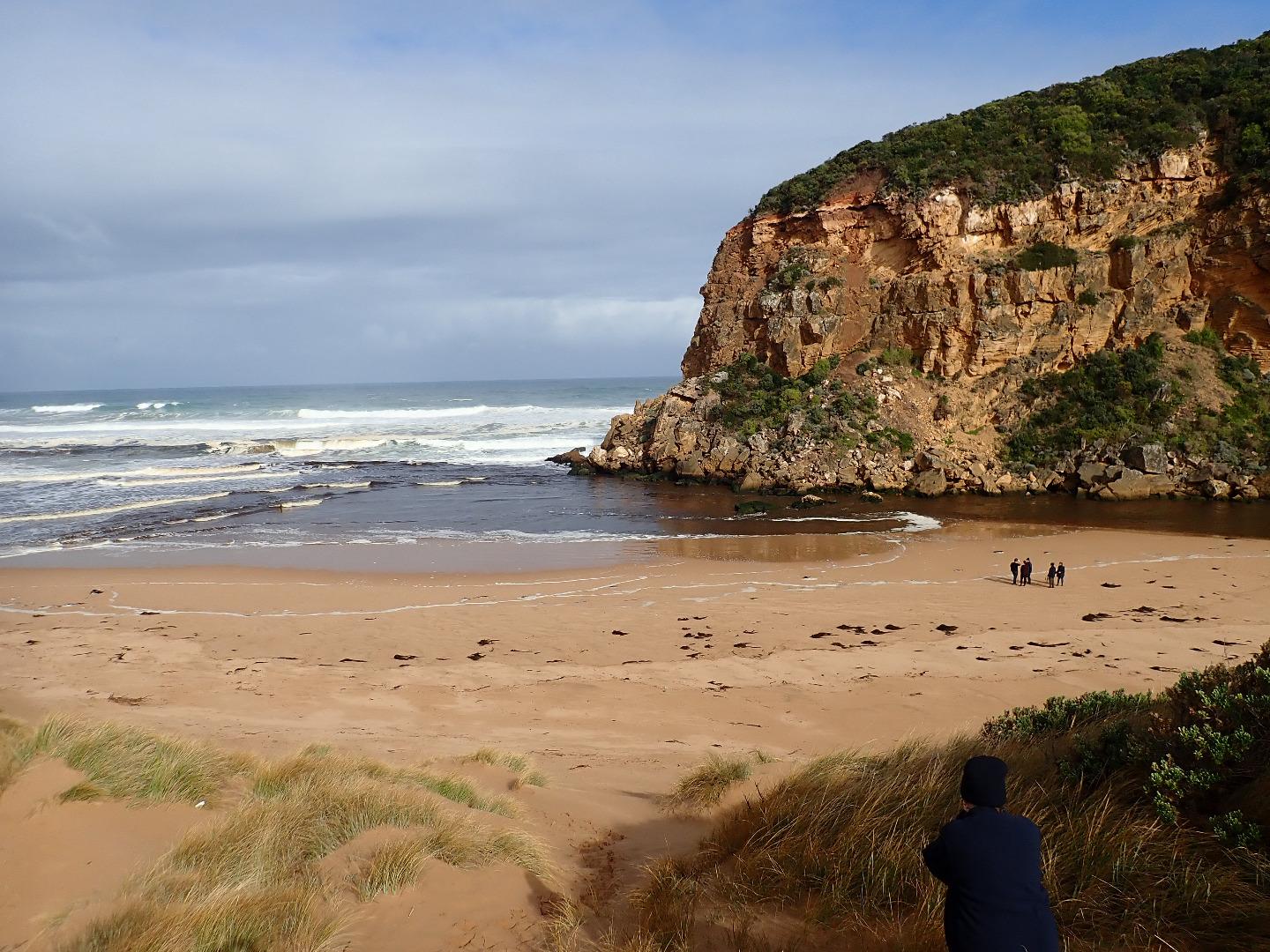
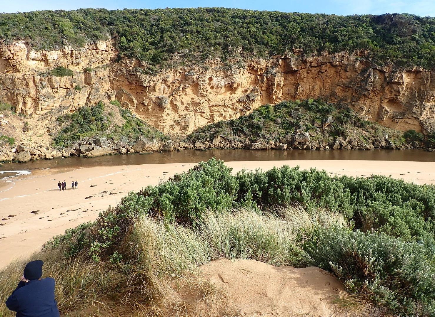
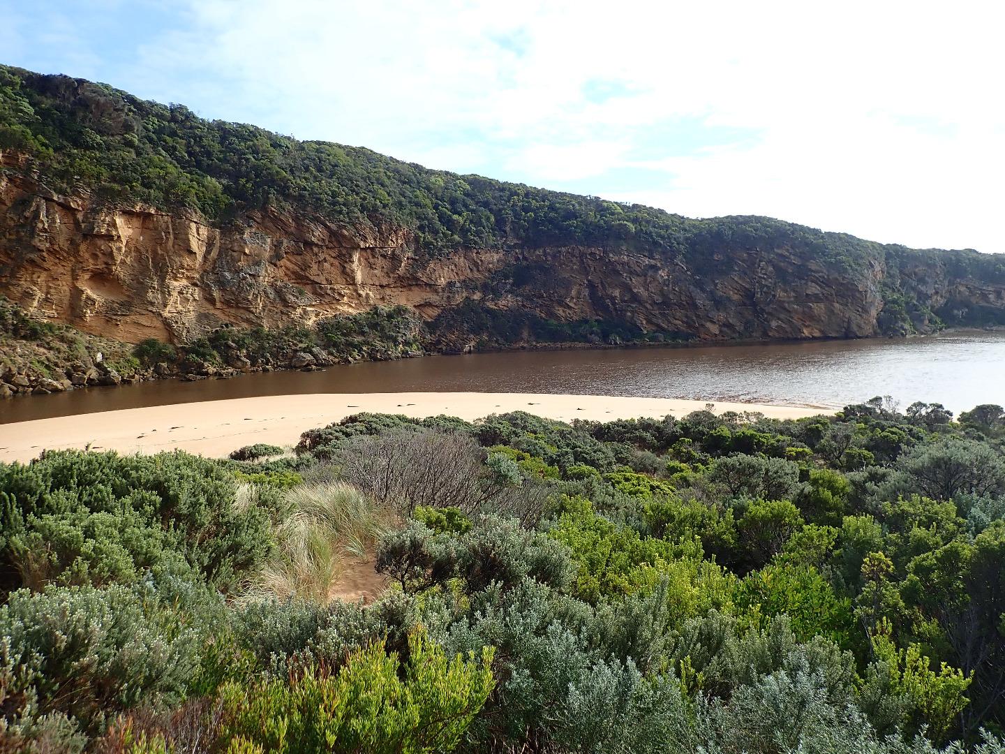
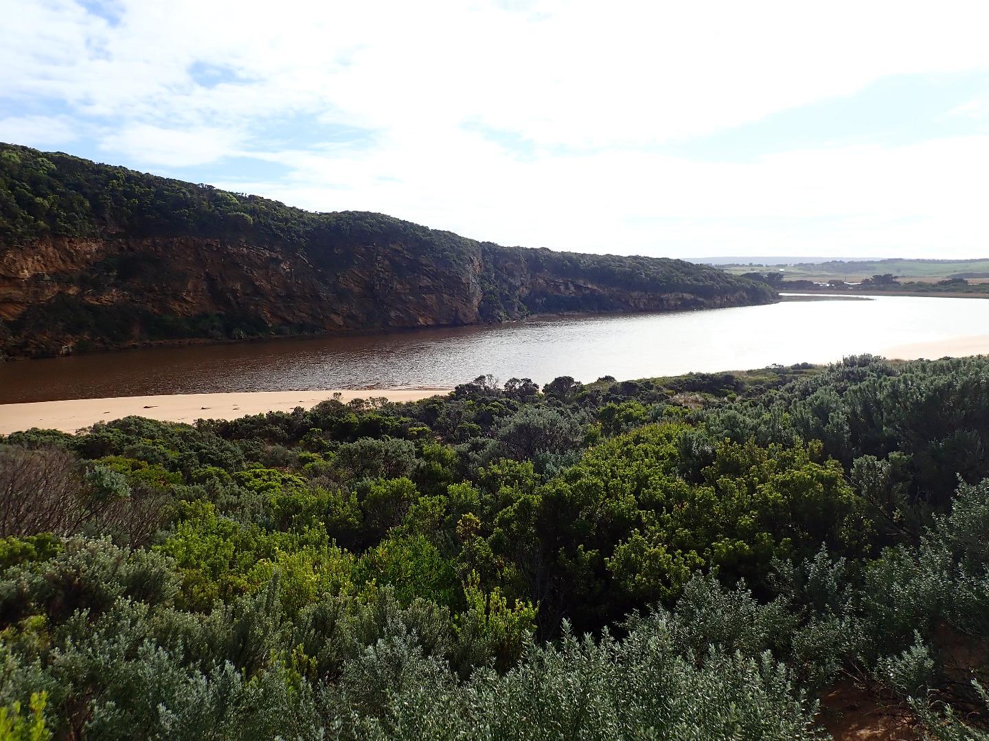
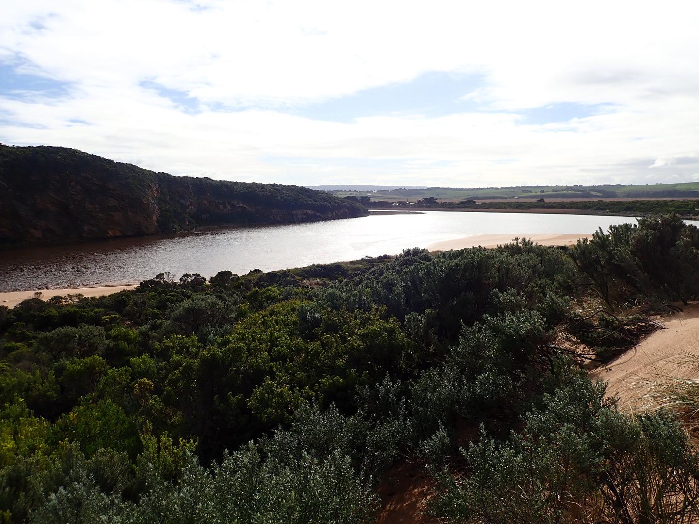
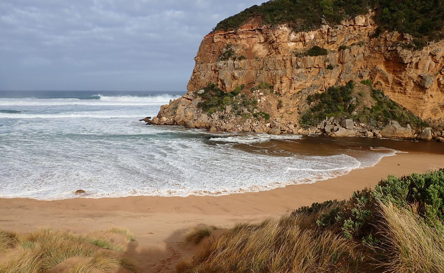
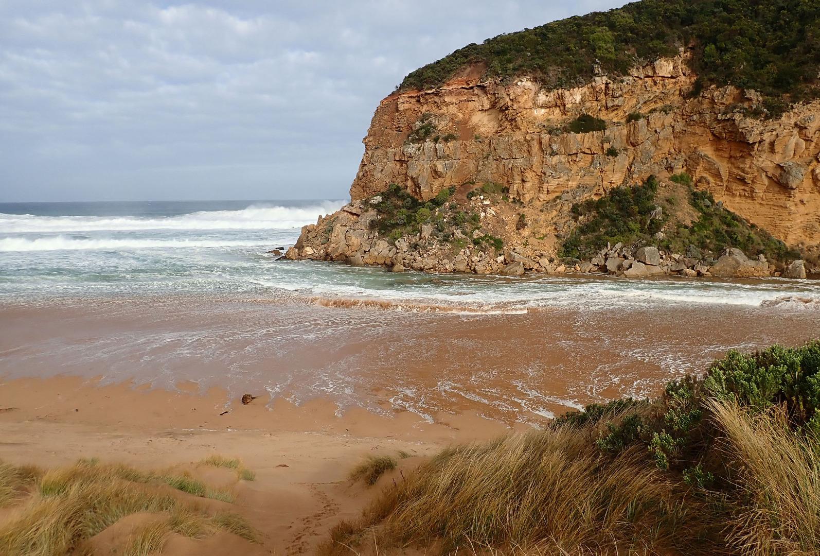
GMC Gellibrand River Estuary Mouth Observation Site
Active Mouth Condition 20-04-2007 - 19-04-2024Gellibrand River Estuary
| ID | Date | Status | Details | |
|---|---|---|---|---|
| #12453 | 19 Oct 2018 | Pending |
Notes:
Strongly flowing dark discharge around entrance & travelling south with some moving east along foreshore. Beach is undulating with waves going further in low depressions (running north south), large amount of sand in back wash from these areas. Strong longshore drift across mouth. Heavy local rainfall combined with higher falls in catchment (41 ml. recorded @ G6 -total since 15-10-2018) have greatly increased flow with river flushing strongly. Depth profile showed similar readings from top to bottom of water column at G5 & G4 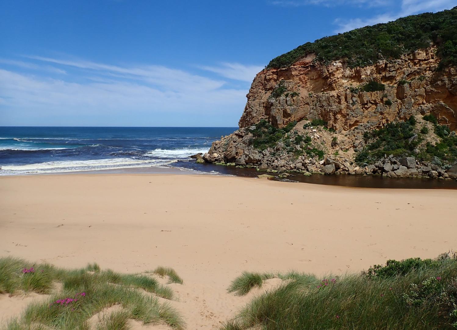 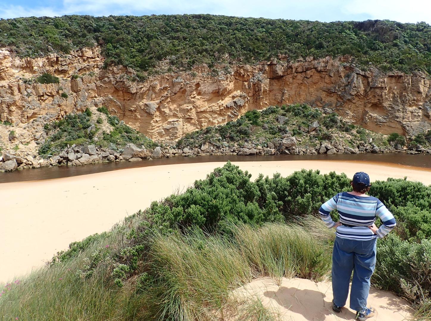 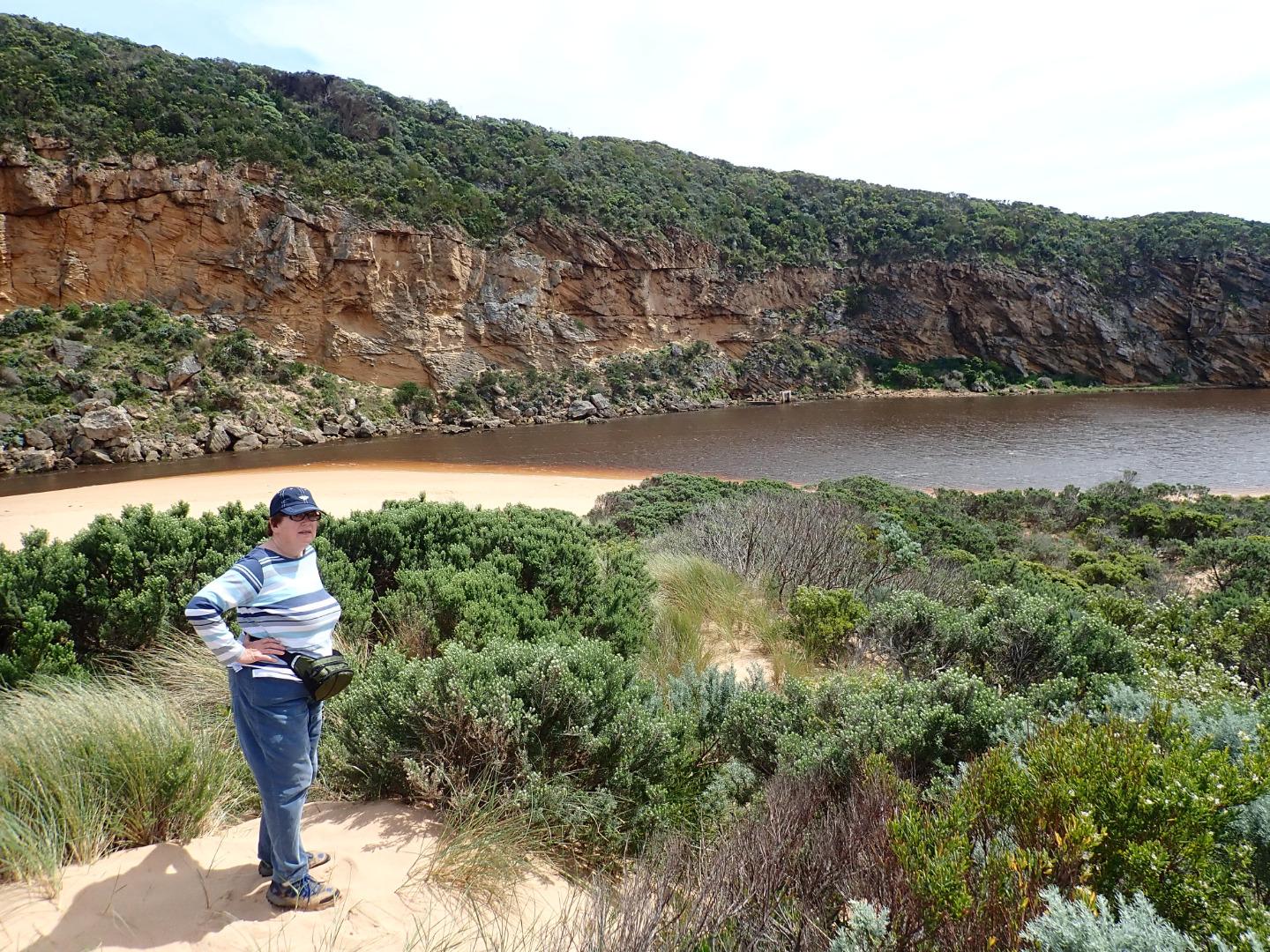 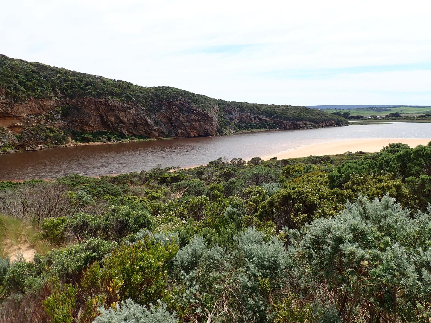 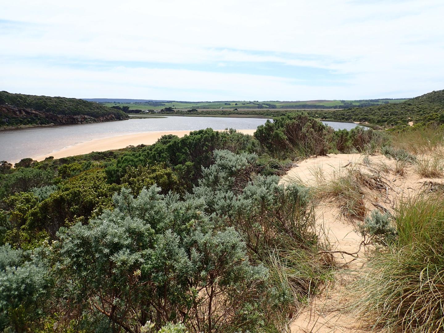 |
|
| #12447 | 15 Oct 2018 | Approved |
Notes:
AHD G6 0.95 @ 09:15 AHD board difficult to read because of silt. Observations made at low tide. Extremely pale discharge out around mouth over large sand build up - also sand building up in channel. Reduced flow only passing through very narrow gap between 1st & 2nd rock and a larger area over rapids between 2nd. & 3rd rock. Some water passing between 3rd. rock & cliff base Sand on south side of estuary extending north into estuary. North wind driven waves (gusts much stronger than 4 ) have cut sheer side to the projection. Sand bar also exposed. The east side of the channel south of rocks also has sheer side -possibly resulting from tidal action
|
|
| #12446 | 2 Oct 2018 | Approved |
Notes:
AHD G6 1.34 @ 09:03 G20.54 @10:45 Observations made close to low tide Dark discharge mainly out around mouth, paler area out to south, then travels east before going out to sea about 2/3 rds. of beach. Large amount of sand visible in breakers directly south of the entrance Large areas of sand exposed on ocean beach & on south side of estuary where it extends some distance to north. Sand bar exposed Stick Caddis found near entrance I male & 2 female Red kneed Dotterels feeding in north wetland near GOR & OOR corner
|
|
| #12406 | 21 Sep 2018 | Approved |
Notes:
Dark discharge out to east along side of foreshore, waves in all directions at entrance & along beach, some entering down east side of the channel into estuary. Strong longshore drift travelling west to entrance Flats upstream draining, most extensive remaining water cover is around G5 where Cape pond weed is flowering prolifically Strong red coloured discharge from springs in areas where low pH has been recorded along OOR Very large dense mass of algae in drain/creek east OOR |
|
| #12368 | 1 Sep 2018 | Approved |
Notes:
AHD board unreadable (estimate only) as covered with silt Dark discharge out around mouth & slightly to east.Very large amount of silt & foam along beach close to entrance, occasional longshore drift across entrance with small waves entering. Beach face at east end is increasing in height & steepness. Depression formed more deeply behind this area dropping down as it goes west Very large amount of sand exposed on south side of estuary & sand bar partly visible More extensive erosion on south face of Pt Ronald Flood water upstream receding but large areas of shallow water remain around G5 where Aponogeton distachos is prolific & flowering |
|
| #12367 | 23 Aug 2018 | Approved |
Notes:
Dark discharge out around entrance & to east, recent rough seas & strong outflow from draining flats upstream have created an extremely large amount of foam & silt concentrated mainly at east end of beach. Foam lines going well out to sea. Small waves entering estuary with occasional longshore drift across mouth Large no very small 2-4 cm small fish observed in shallow water along east side of estuary Dead Fairy prion found on beach below Gp1 site |
|
| #12342 | 17 Aug 2018 | Approved |
Notes:
Dark discharge out continuing along shoreline to east. Very rough wsw swell impacting on east end of beach where a large dense area of foam covers the beach & rocks. The very rough sea was sending small waves over the top of the strong outflow up the channel into the estuary South side of estuary sand projection at start of channel is directing flow to create a small bay at the SE corner. Despite high flood water around G4 & upstream a small area of the sand bar was exposed Melbourne Uni. setting up a research project in the estuary. |
|
| #12317 | 5 Aug 2018 | Approved |
Notes:
AHD @ G6 3.40 @12:10 Estuary from G4 to G6 has been mainly been affected by tidal movement for many weeks despite deep extensive flooding upstream in all areas Area downstream G4 has not been flooded nor water over OOR despite heavy rain fall & large amount of runoff Dark discharge out along shore line to east but held back by rough sea. Waves entering very wide across the entrance, some travelling up the channel into the estuary where they are dispersed by strong north wind against sand projection & beach on south side of estuary. Large waves are being driven across the estuary by wind Area directly below Gp1 site has been scoured out by wind & waves becoming much lower than the rest of the beach. More sand has been deposited on new areas of the dunes |
|
| #12284 | 21 Jul 2018 | Approved |
Notes:
AHD @ G6 3.03 @ 08:47 SW swell 13-14 secs. Dark discharge extending out around mouth & progressing towards east about 30m. off shore. Waves going well up all along beach, large amount of foam in swash line increasing towards east end which was being impacted by SW swell. Longshore drift frequently across mouth going over incoming swell & weak outflow. Whirlpool at rocks More erosion & rock falls occurring on south & east sides of Pt Ronald Estuary is tidal to G4 where water is being held back. Downstream flats are draining at each low tide At 09:03 water from runoff - north side of OOR just starting to cross road east of flood markers |
|
| #12282 | 18 Jul 2018 | Approved |
Notes:
AHD G6 2.30 @ 09;37 Air pressure 1010 SW swell 14-19-18 secs Pale discharge only around the mouth, large amount of sand in breakers. At 10:40 waves/saltwater was entering up channel. Waves & green water on eastside of channel & very narrow flow of slightly darker water moving downstream against cliff towards mouth assisted by extremely strong north wind Very strong 5-6 NNW wind driving waves to SE side of estuary, but stronger northerly gusts were blowing sand down the channel into the sea, wind is also causing waves to impact against high area of sand mid south side of estuary. Despite this waves coming down the channel reach the estuary & disappear only to reappear much further north as they meet the sand bar Only 2 photos taken because of wind strength |
|

All content, files, data and images provided by the EstuaryWatch Data Portal and Gallery are subject to a Creative Commons Attribution License
Content is made available to be used in any way, and should always attribute EstuaryWatch and www.estuarywatch.org.au