EstuaryWatch Data Portal
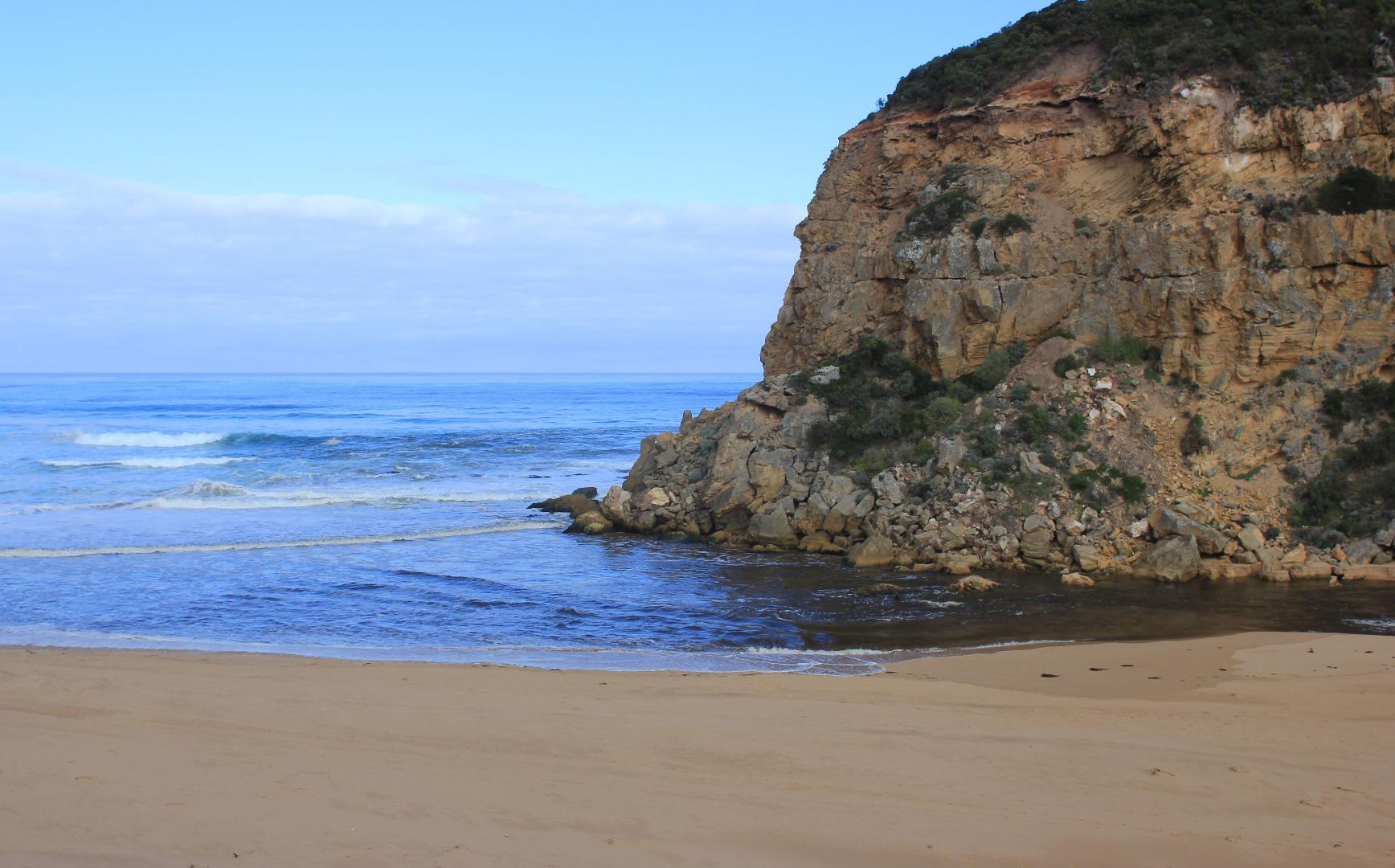
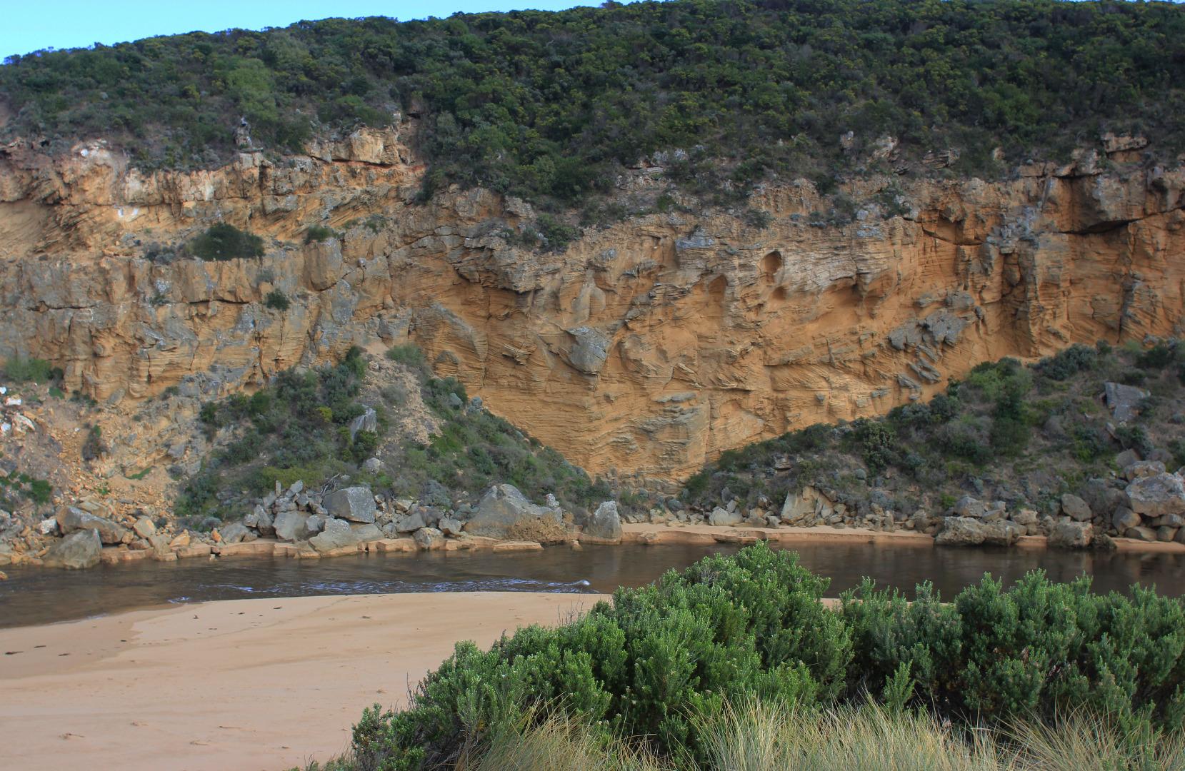
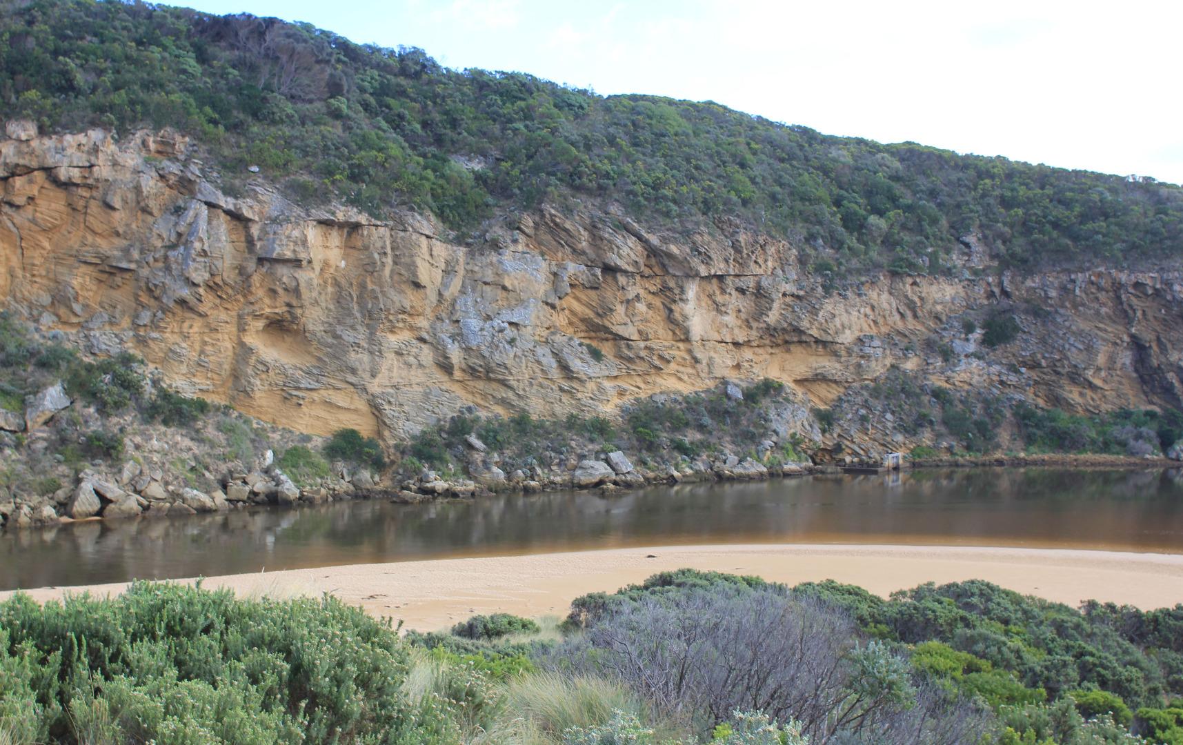
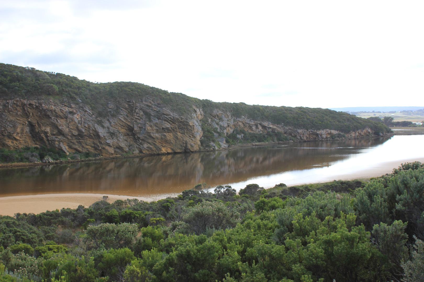
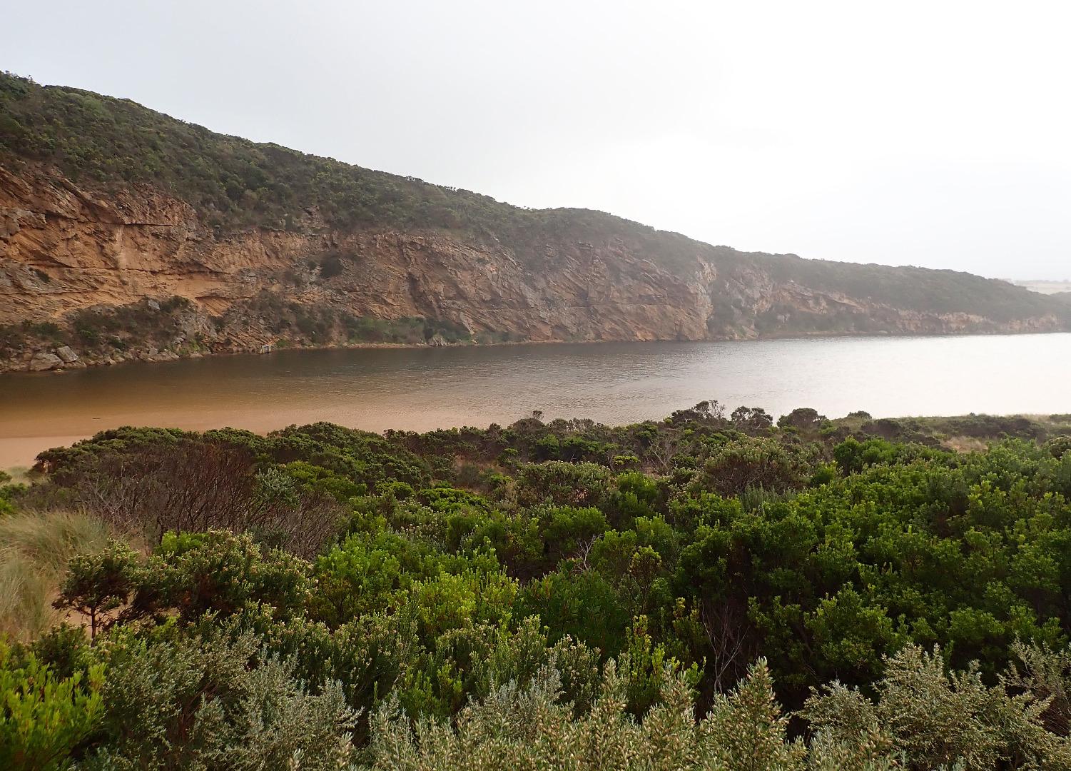
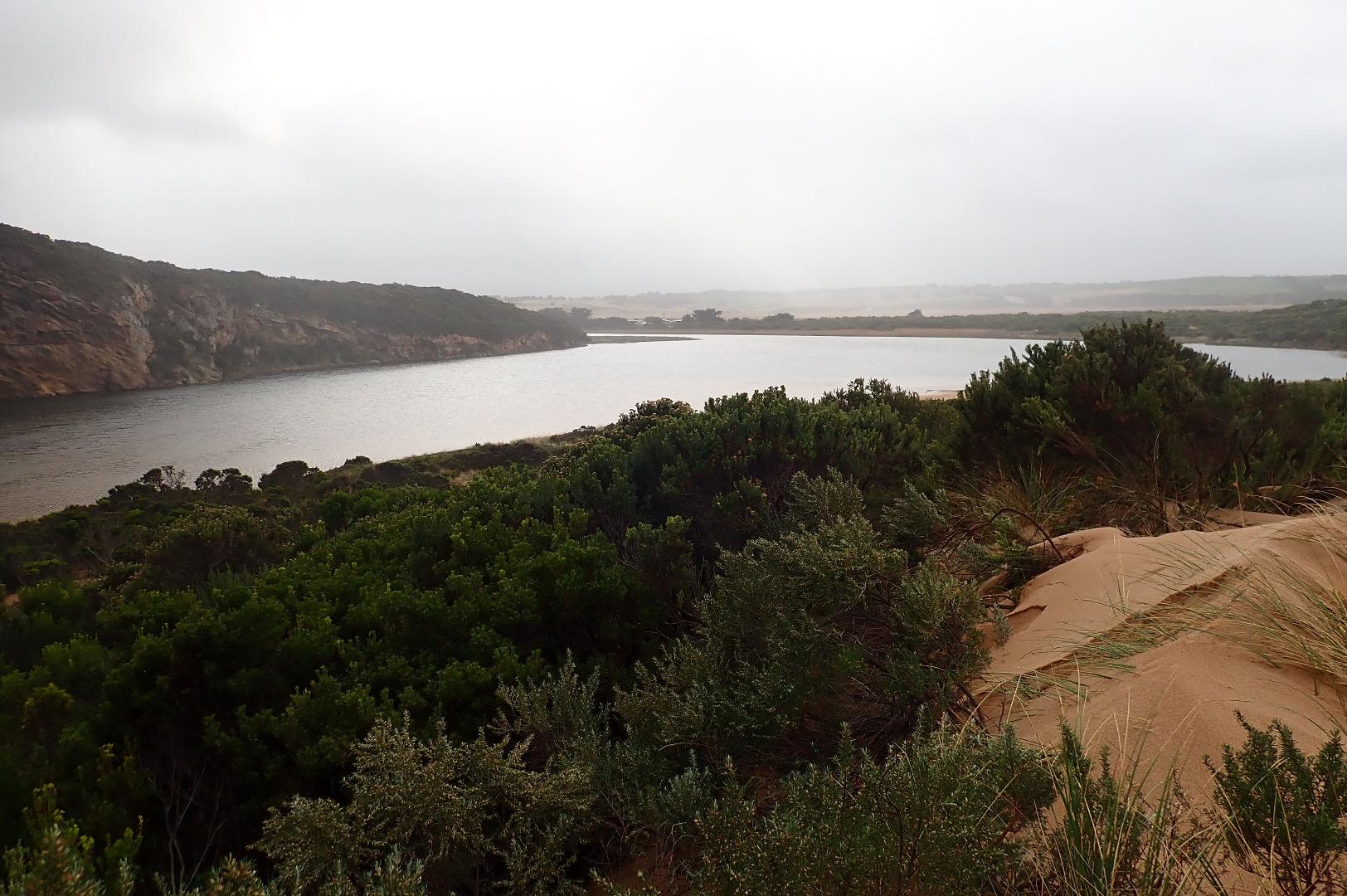
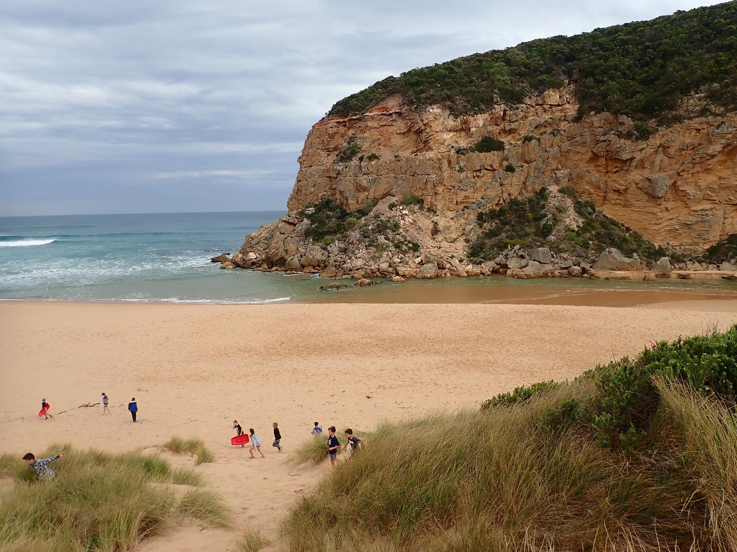
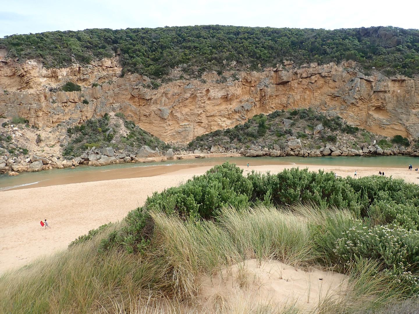
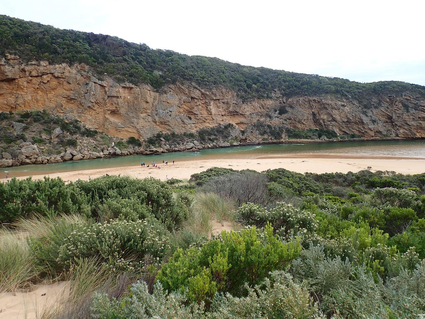
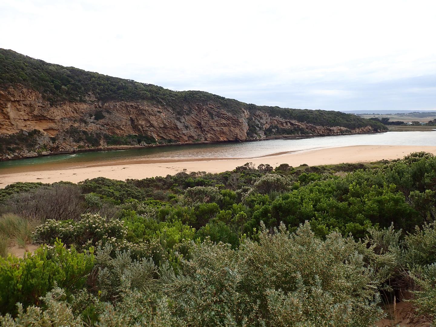
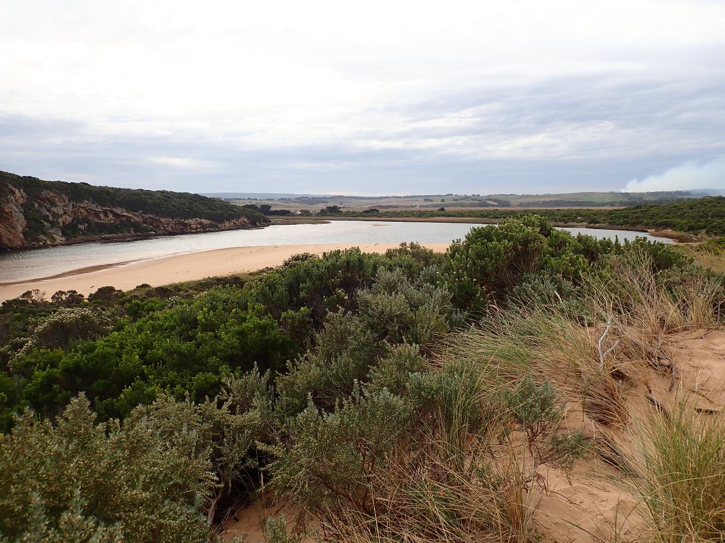
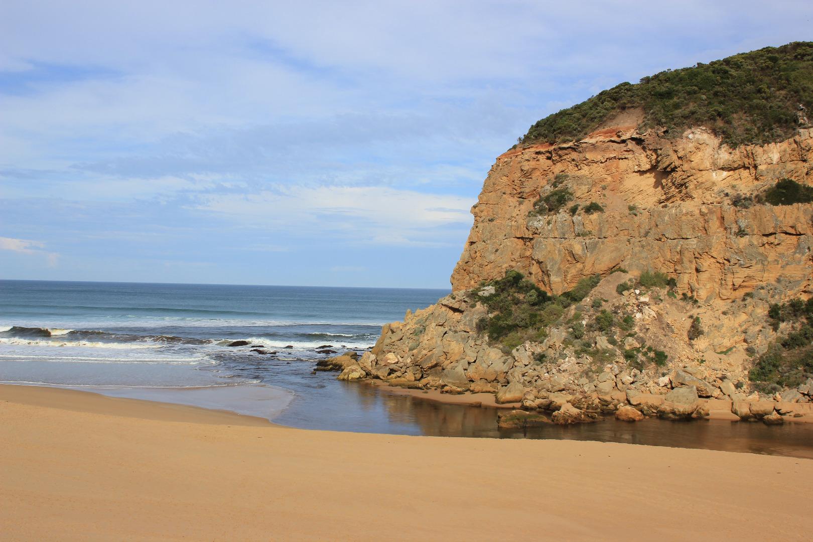
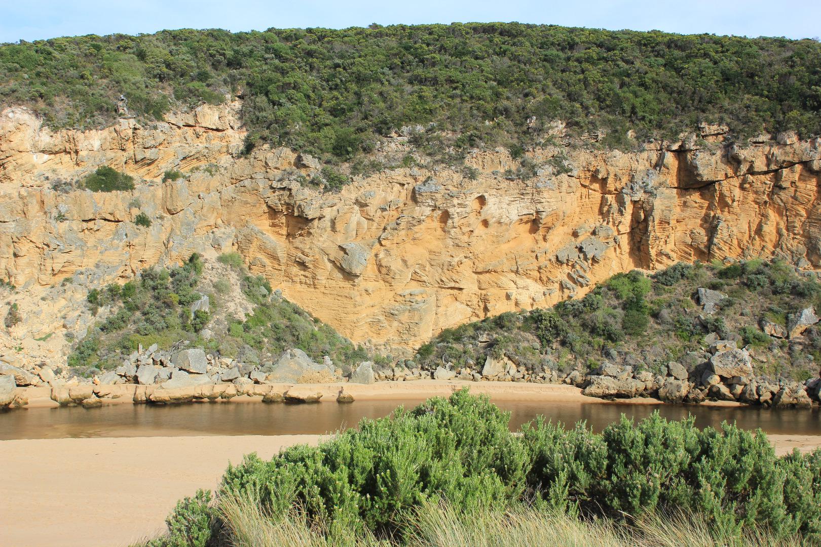
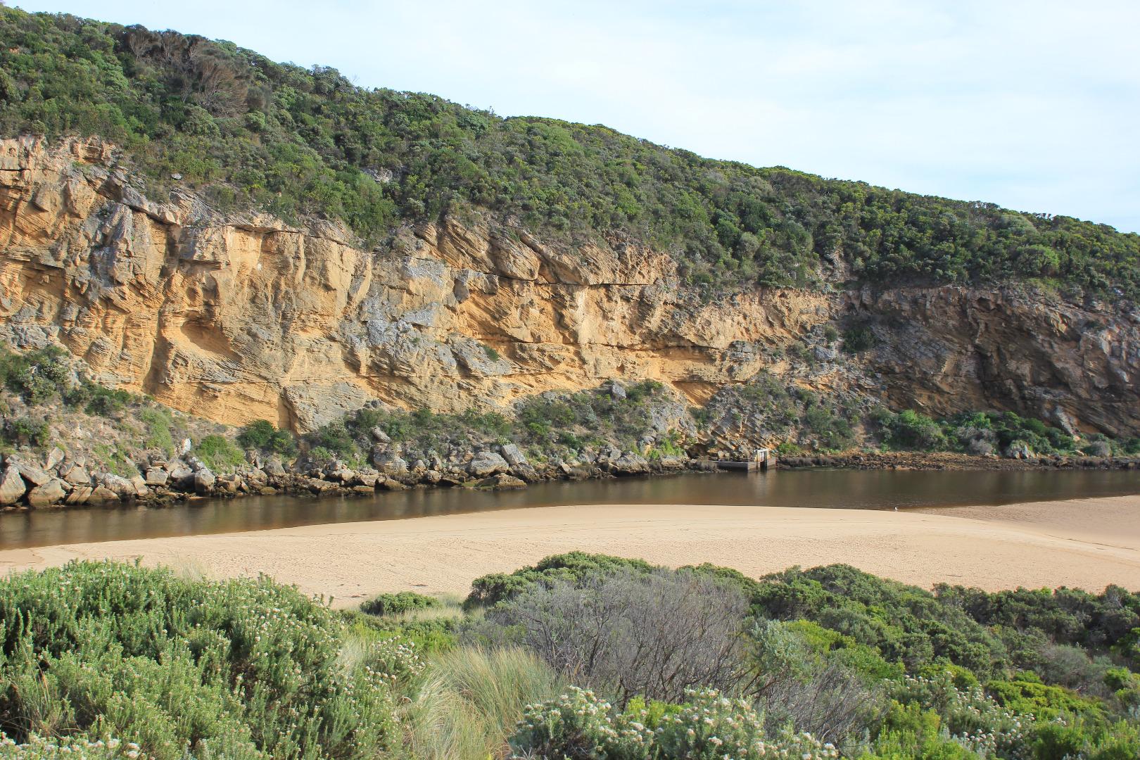
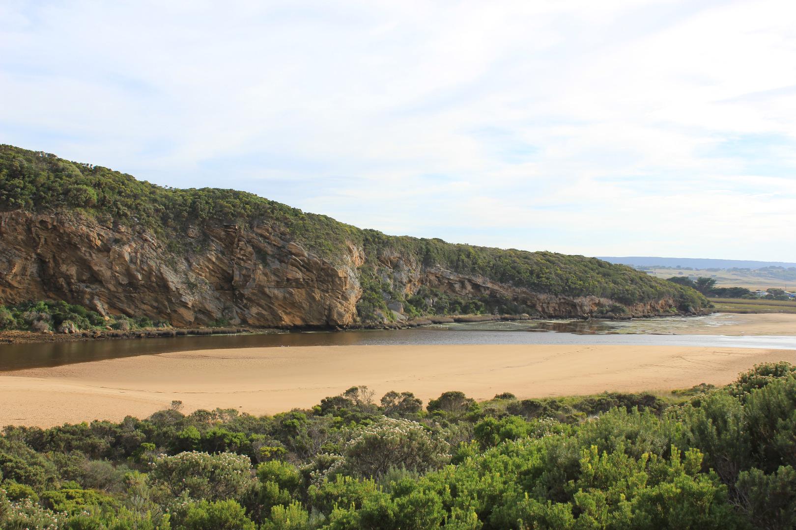
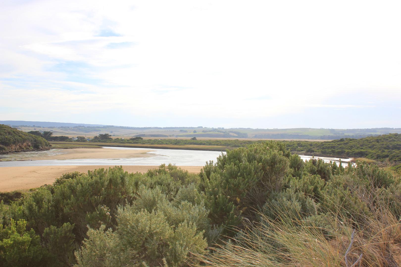
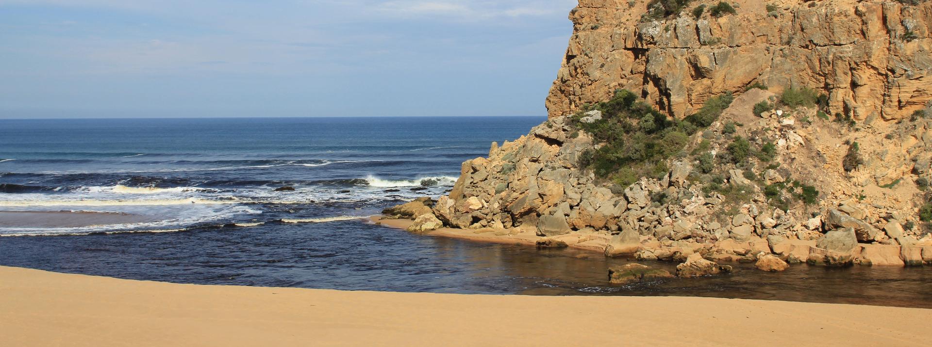
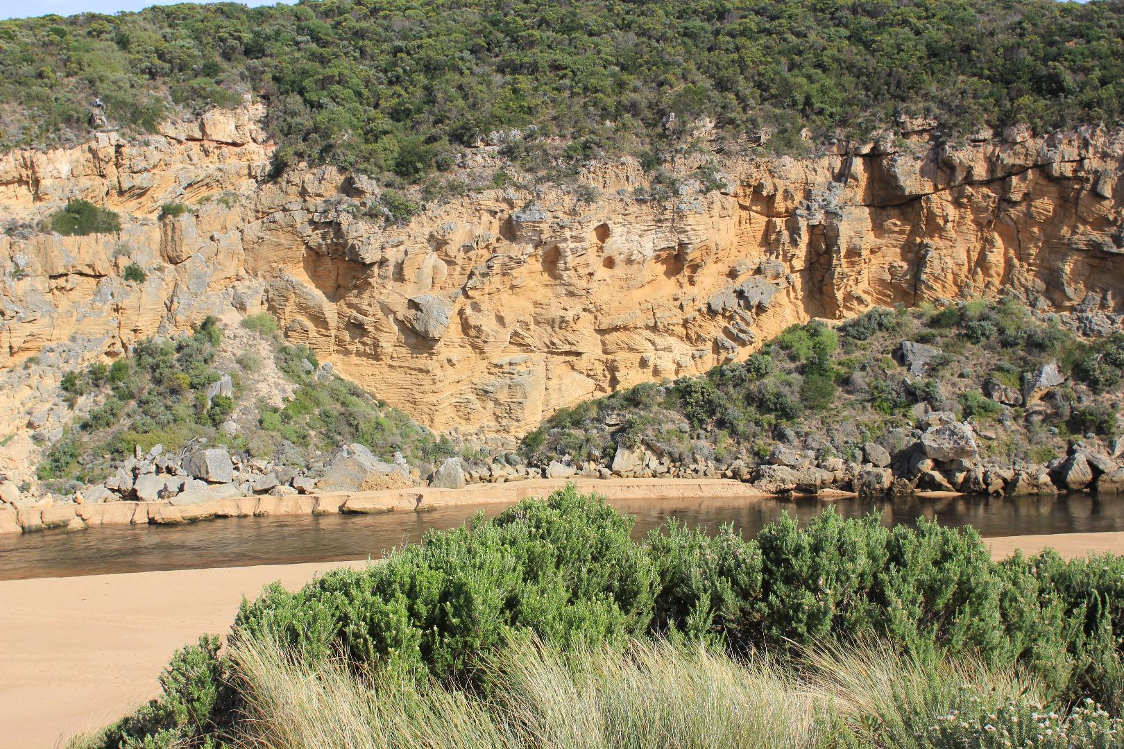
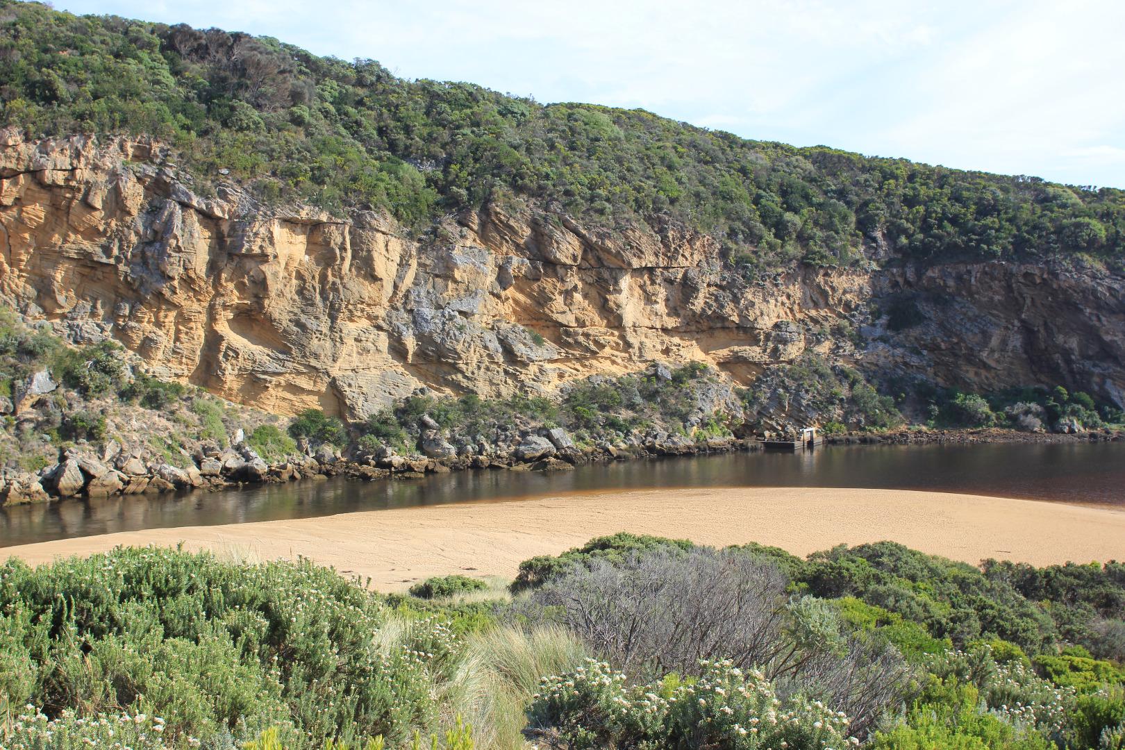
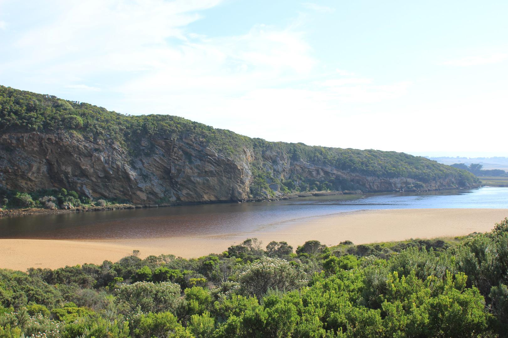
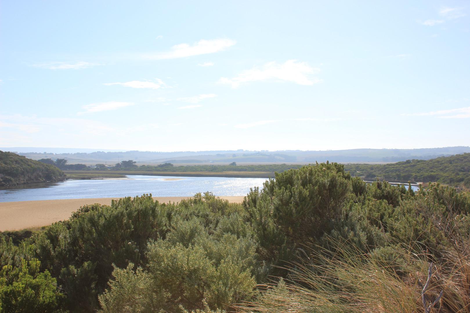
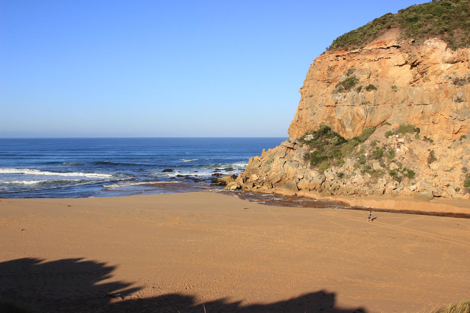
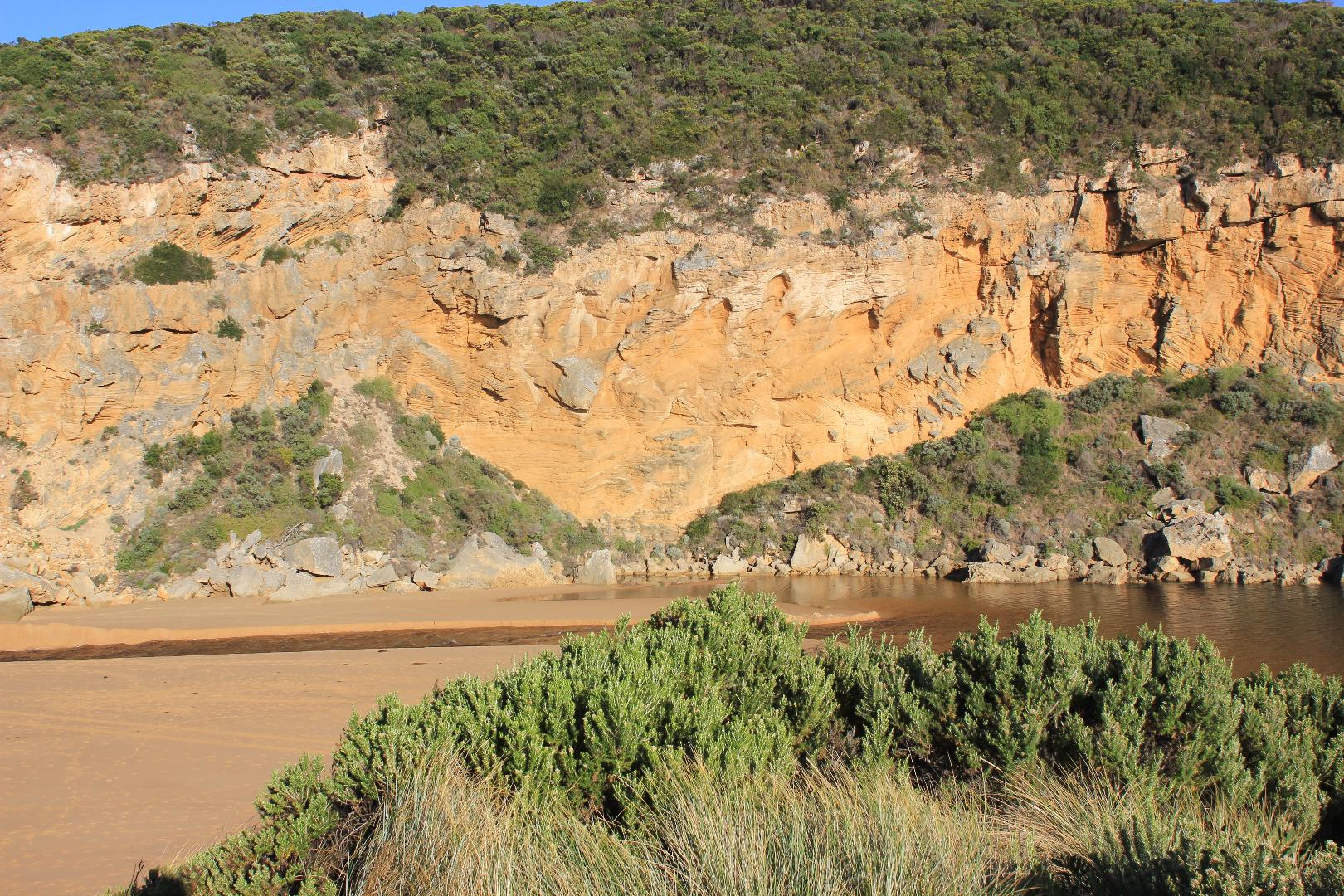
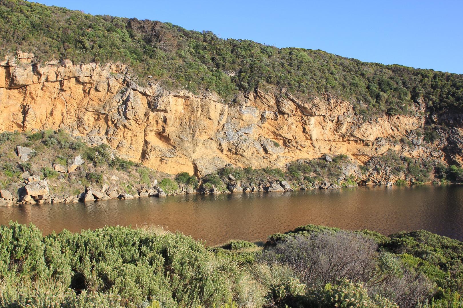
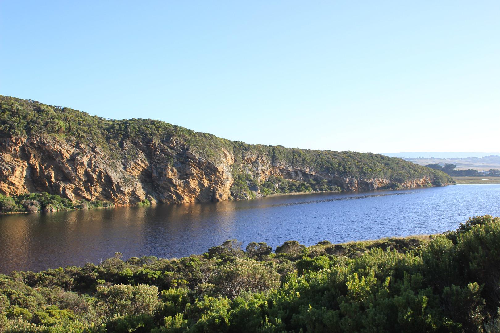
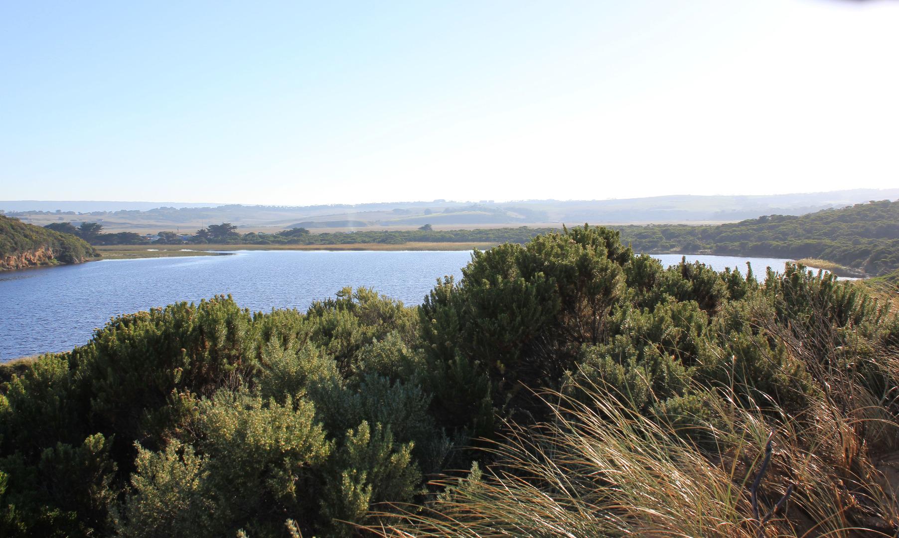
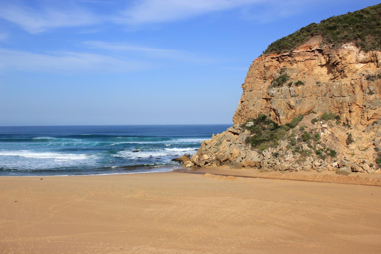
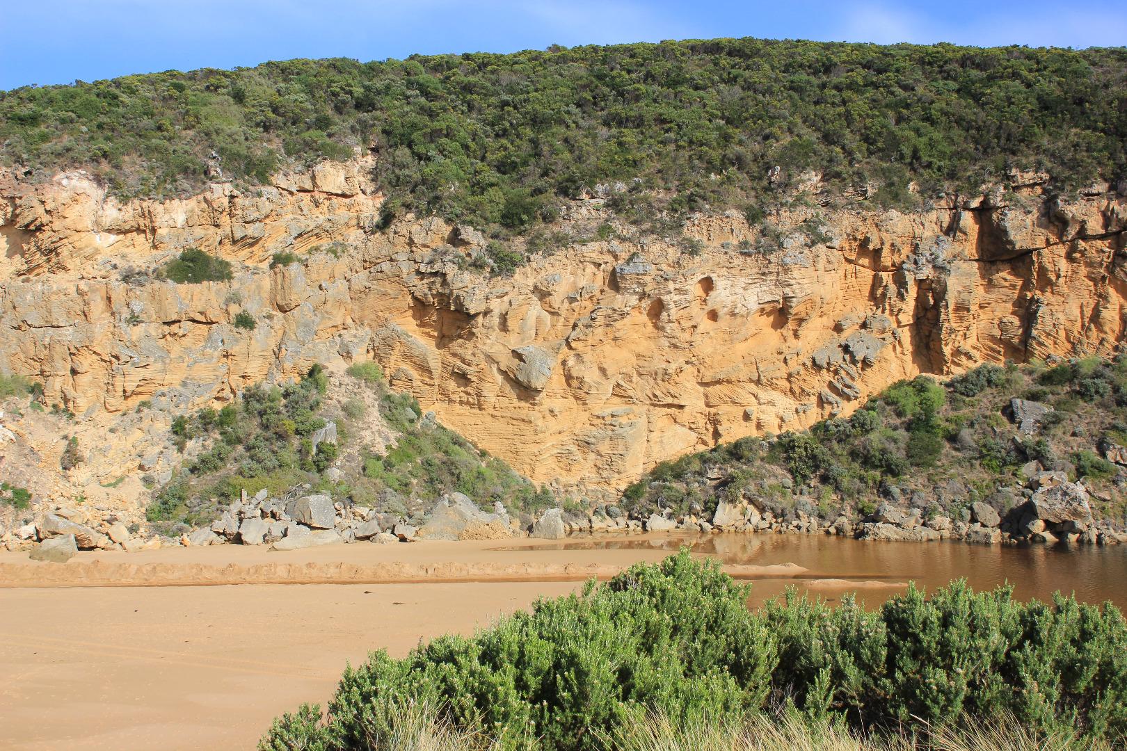
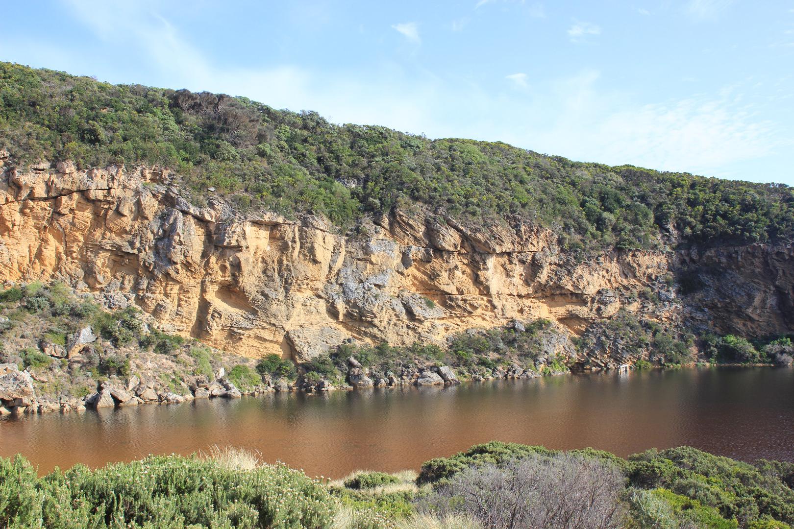
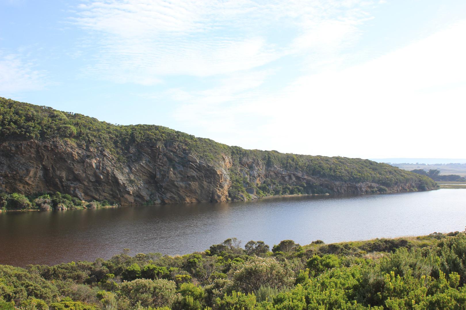
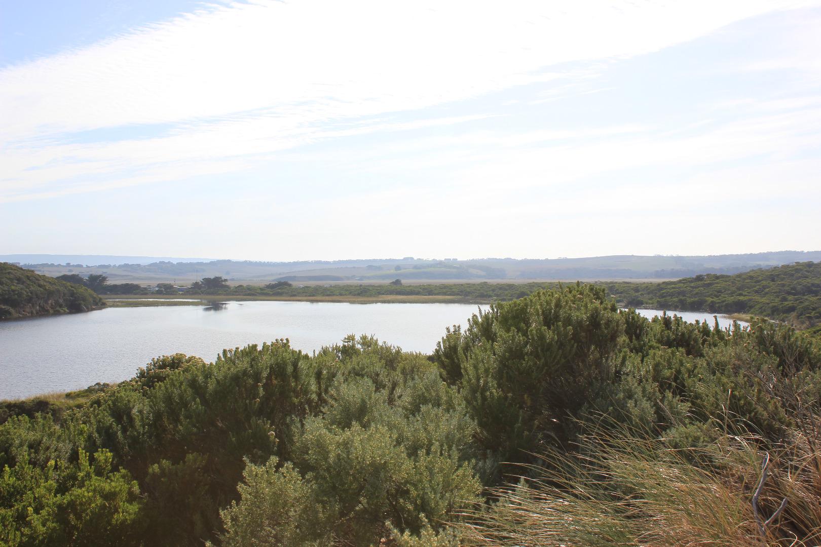
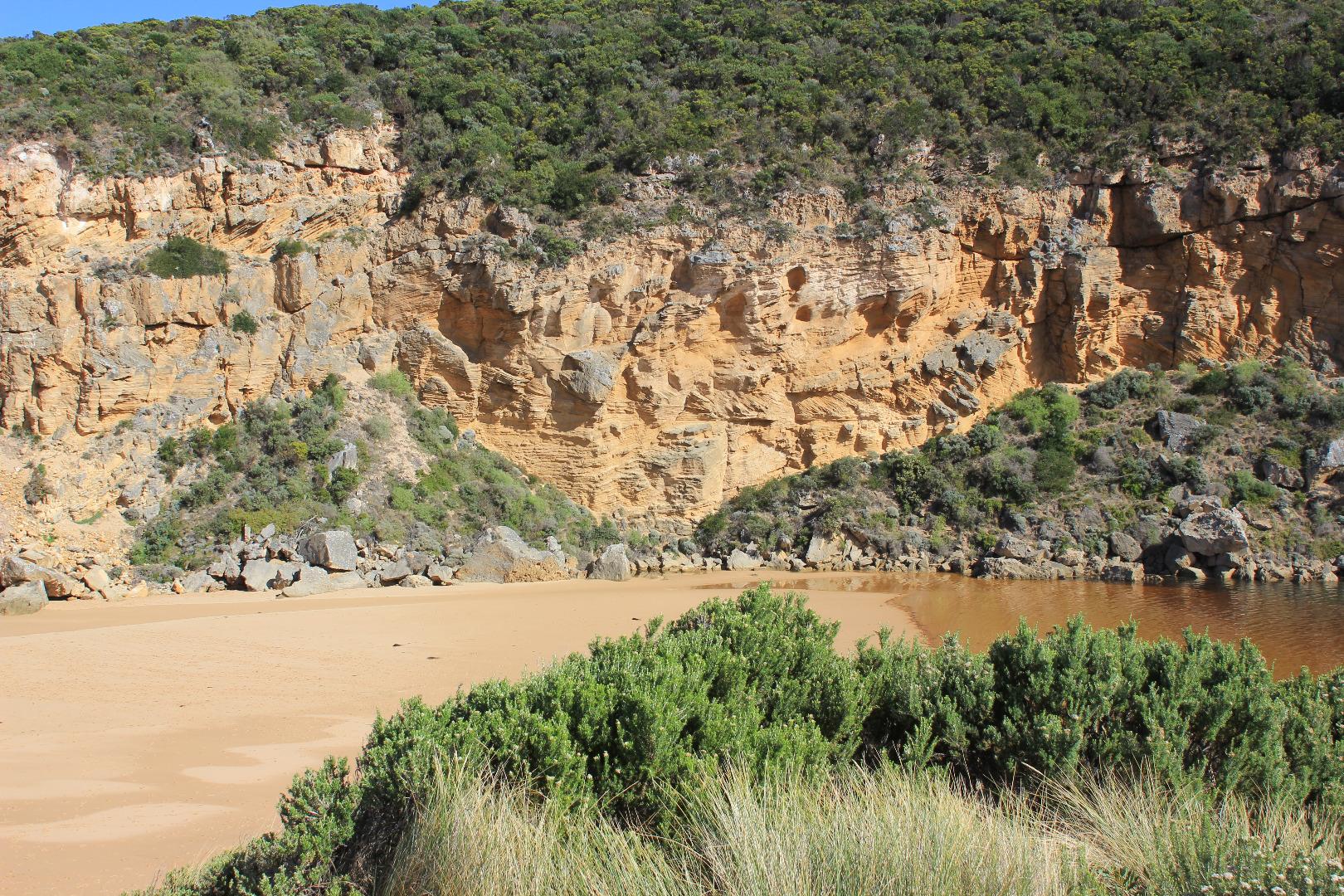
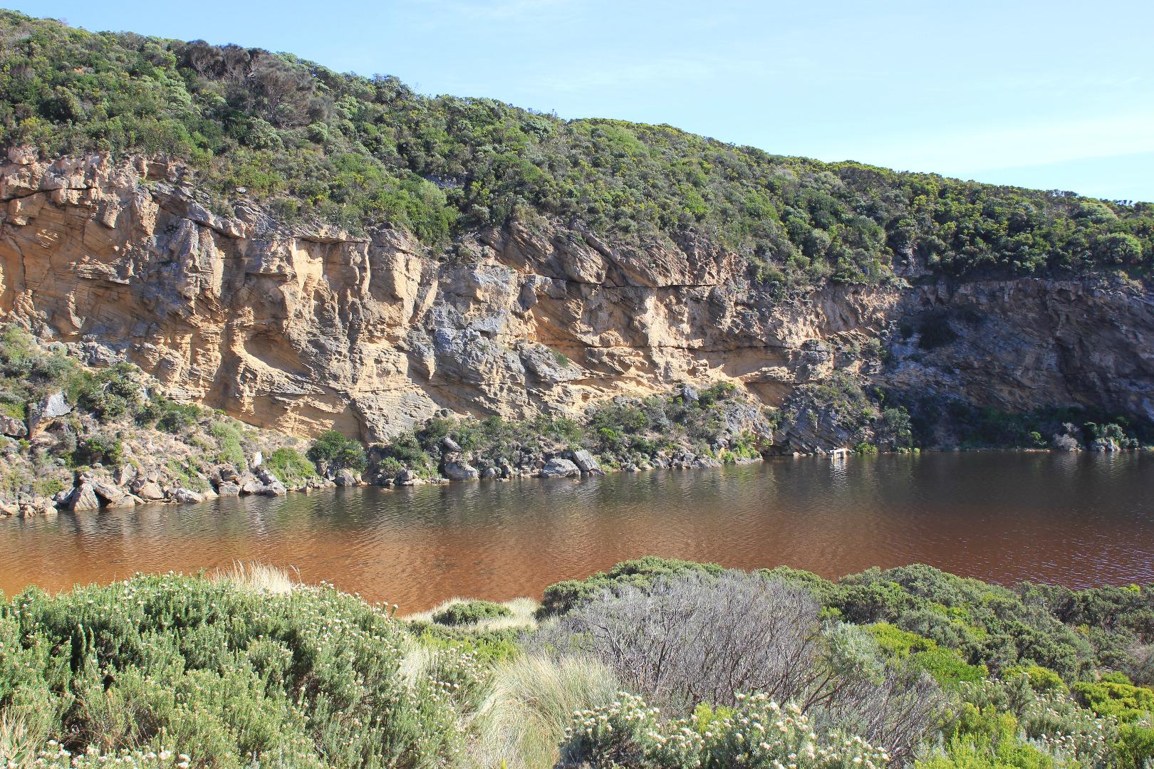
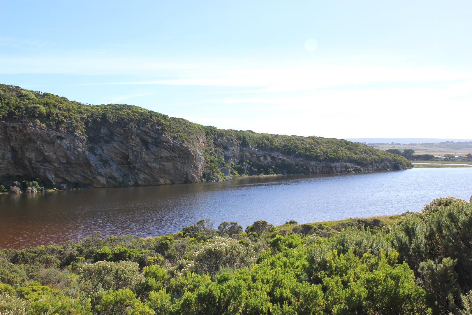
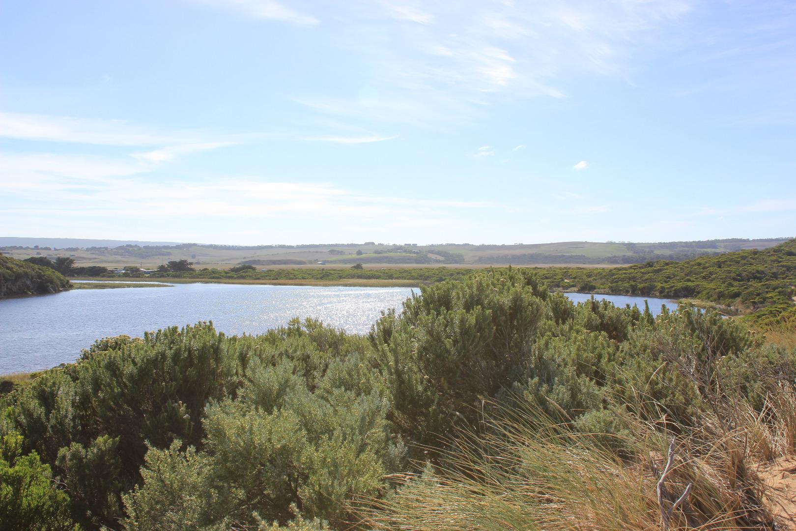
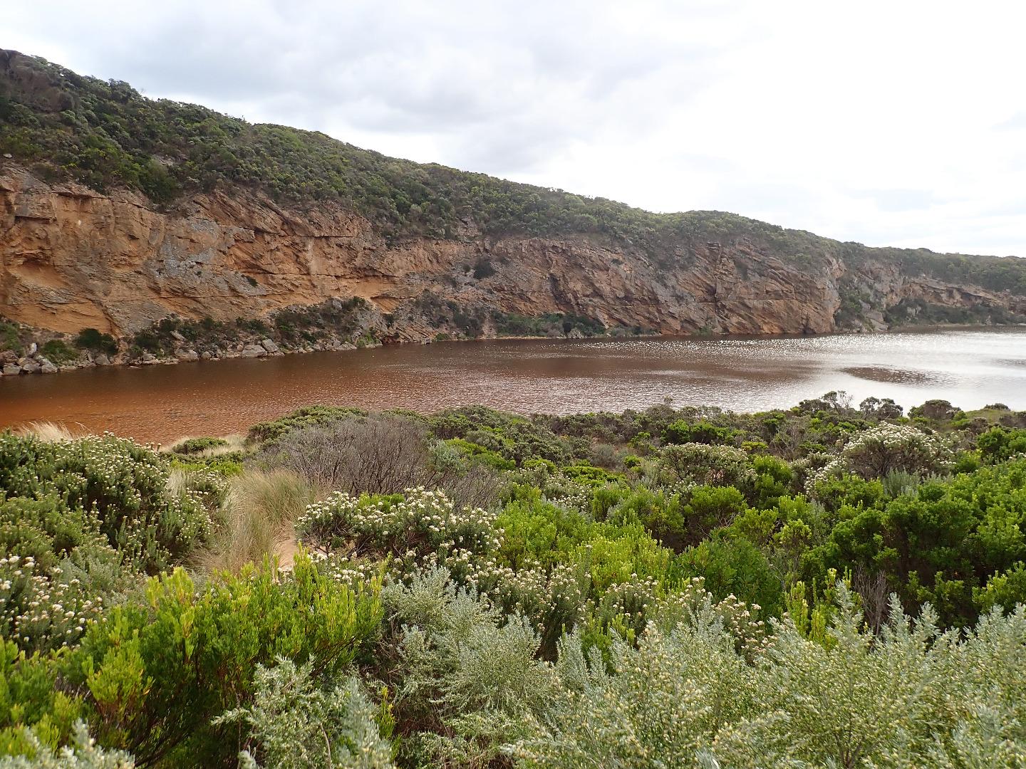
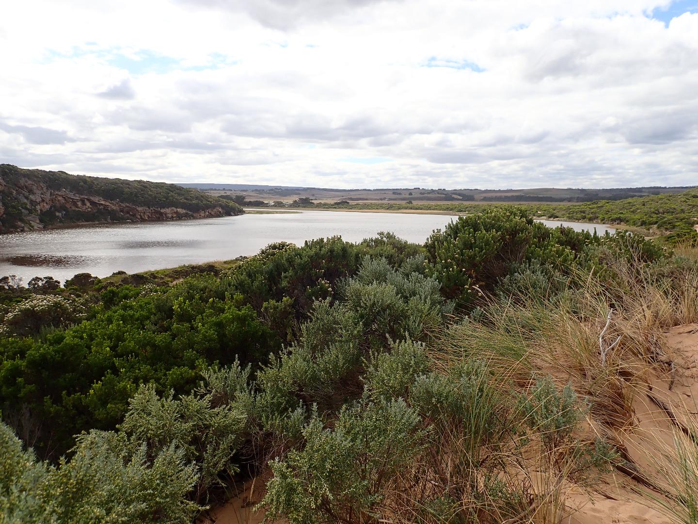
GMC Gellibrand River Estuary Mouth Observation Site
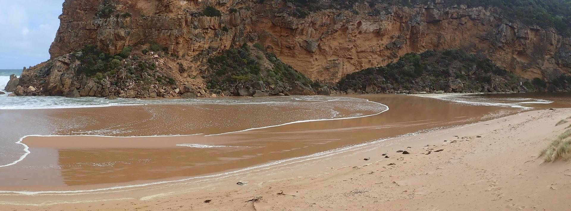
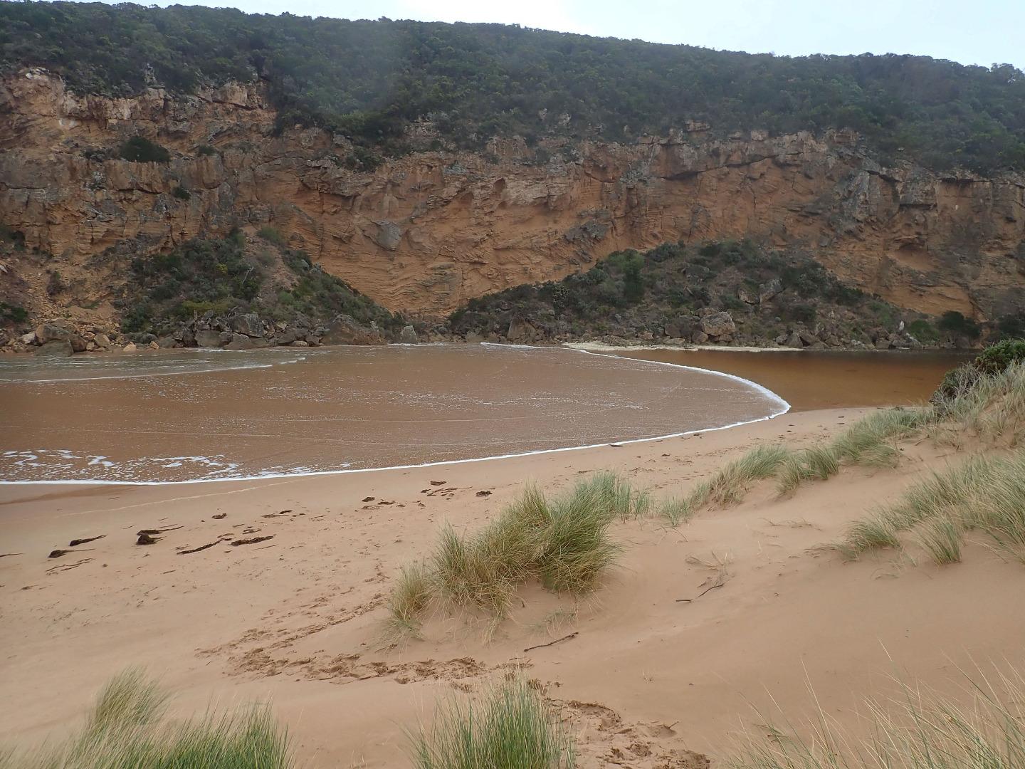
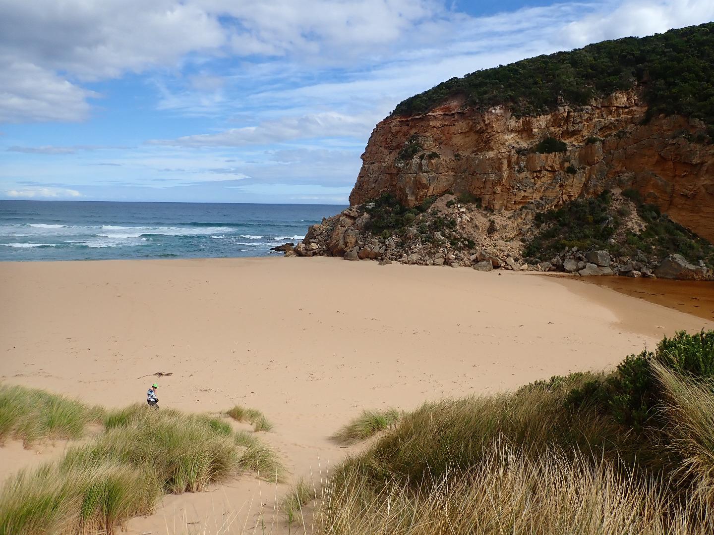
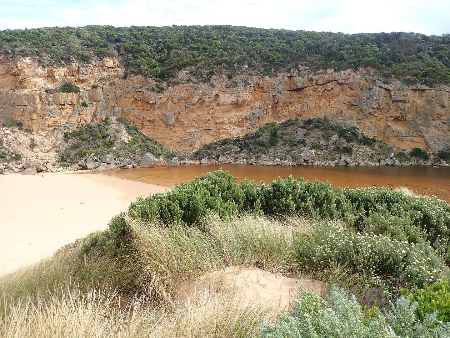
Active Mouth Condition 20-04-2007 - 19-04-2024Gellibrand River Estuary
| ID | Date | Status | Details | |
|---|---|---|---|---|
| #12049 | 14 May 2018 | Approved |
Notes:
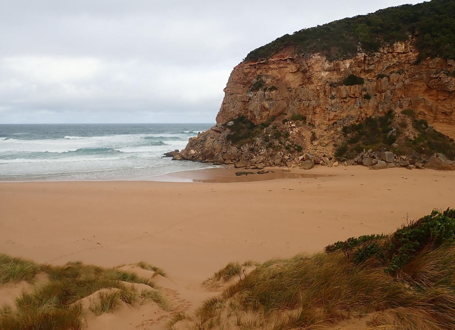
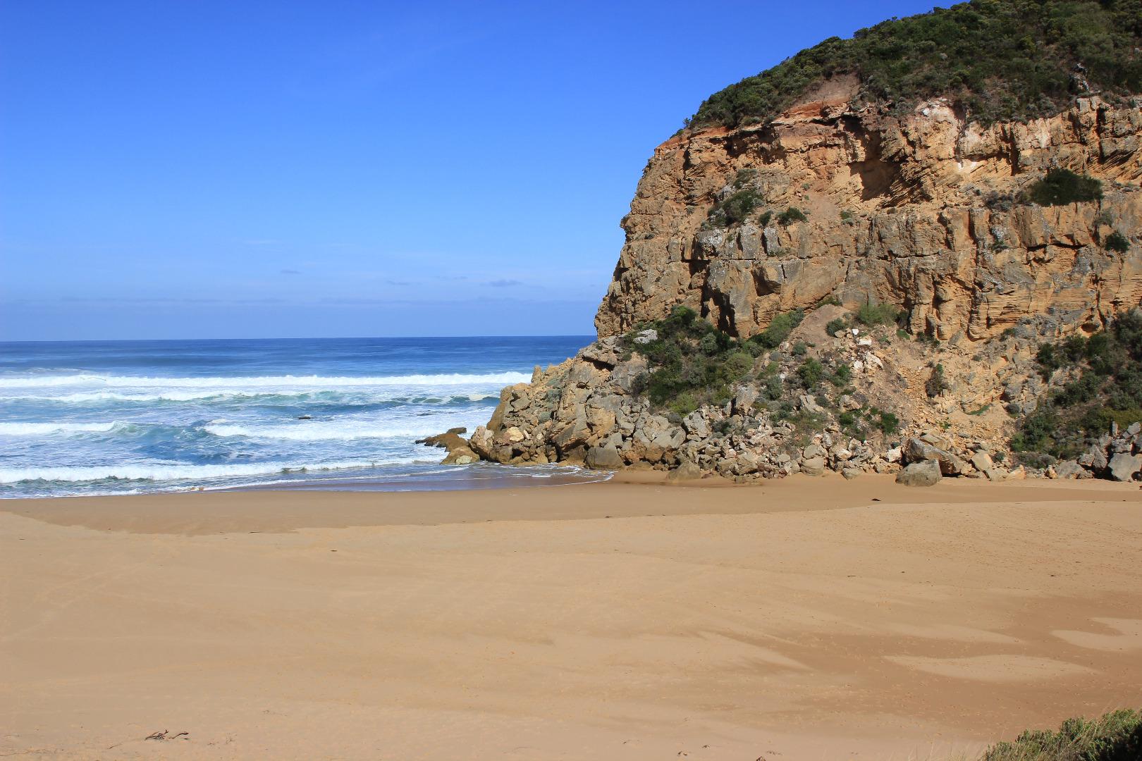
Observations made around high tide Natural opening occurred late pm. or overnight 13-05-18 resulting in a strong dark discharge out across a wide entrance proceeding in both an easterly & westerly direction. Strong longshore drift constantly crossing over outflow & meeting incoming a curved SW swell. Intermittent small waves going down channel into estuary. Sea is moderate but high waves are breaking on sand bar close to shore. Large amount of sand carried in backwash & out to sea Beach has been strongly scoured by recent southerly strong gale to storm force winds creating a small dune in front of existing formation & covering large areas on dunes with deep sand. SW swell continues to impact the east end & a high long sand spit now extends out to sea at middle of beach. Beach is highest just close to entrance |
|
| #12046 | 12 May 2018 | Approved |
Notes:
Observations made close to high tide. Mouth barred after gale force south winds & high seas on 11-05-2018. Berm is very low at entrance as 3 rocks are well exposed but rises high about mid channel & extends north under shallow water well into estuary. Wind & waves have scoured out east end of beach which is now lowest part. The highest part occurs just east of the entrance which is wide with some longshore drift visible Wind has reshaped the dunes depositing large amounts of sand over vegetation and removing it from other areas. Rock falls have increased on south & east sides of Pt. Ronald |
|
| #12017 | 3 May 2018 | Approved |
Notes:
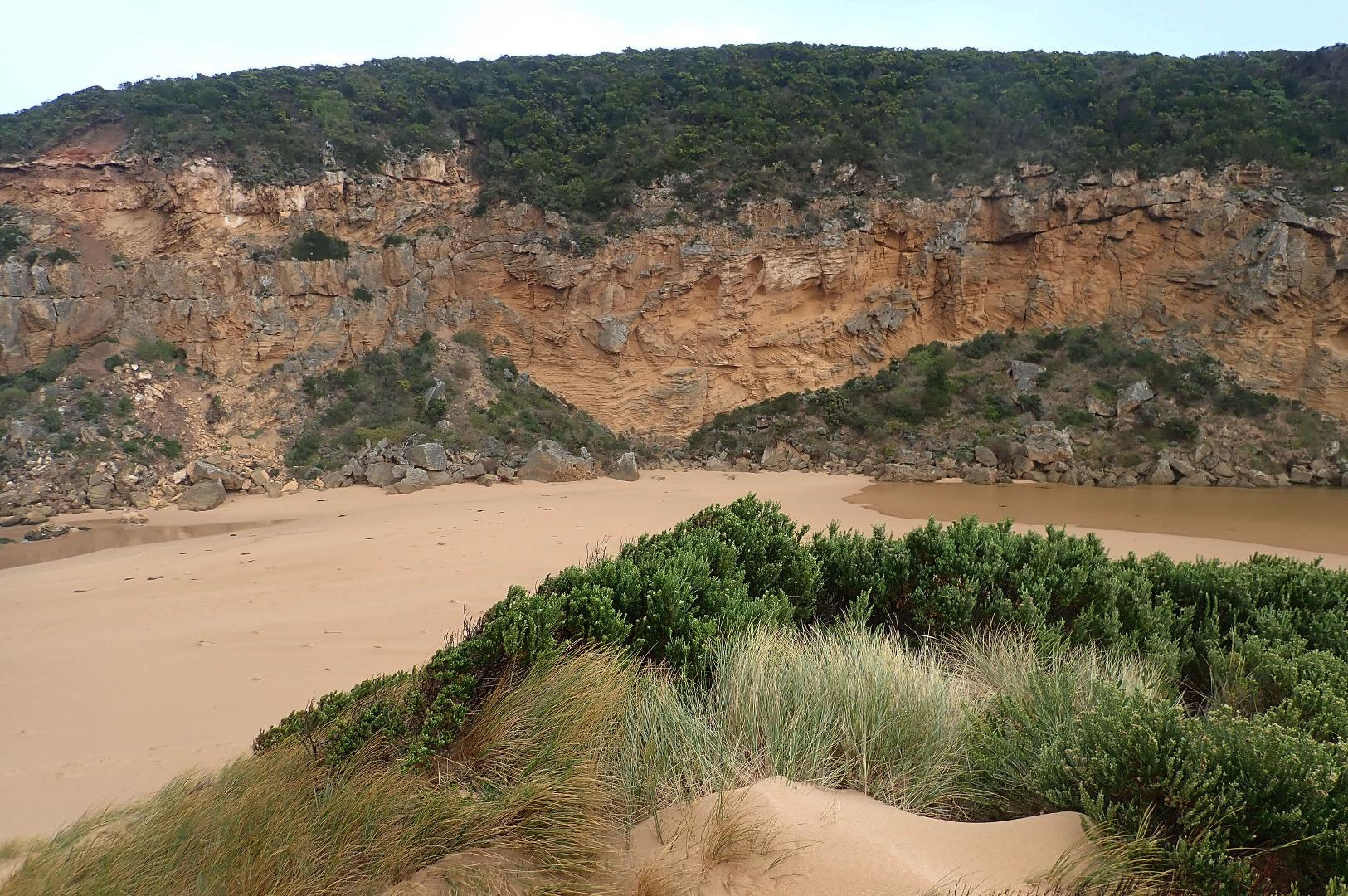
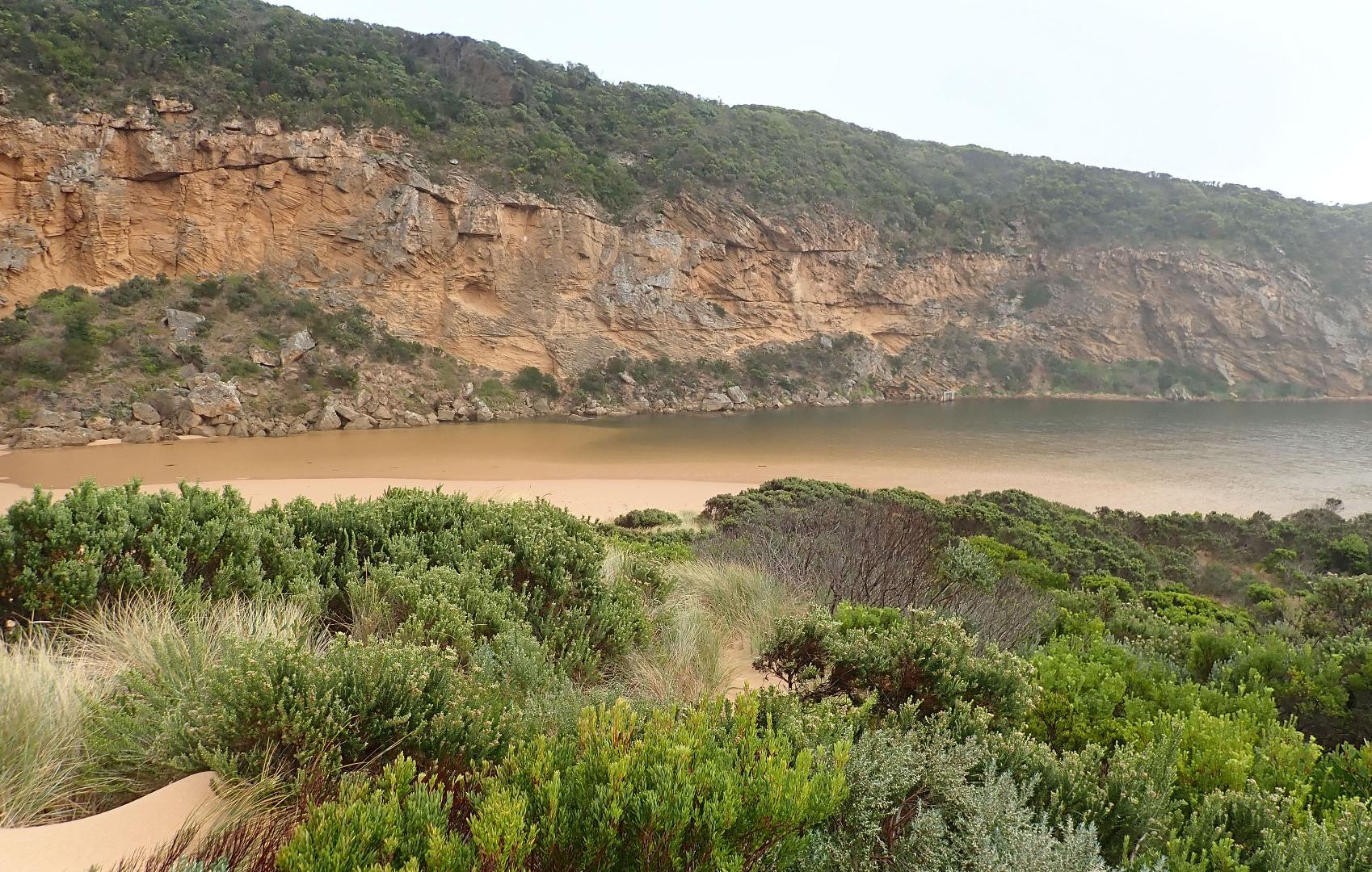
Salt water entering wide over large sand build up exposed in channel upstream of rocks. WSW swell impacting at east end of beach, Longshore drift across outflow with waves entering estuary. Salt return only. River level very low -minimal flow from upstream |
|
| #12004 | 24 Apr 2018 | Approved |
Notes:
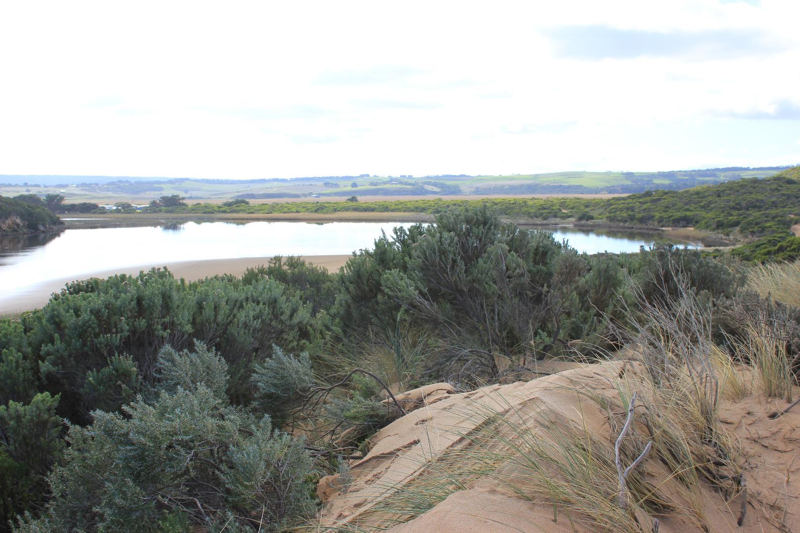
Observations made during an exceptionally low tide - auto monitor @ G2 -sensor above water level. Huge areas of sand in estuary visible. Flow reducing - not much coming down from upstream (G6 AHD 0.46 @ 12:13). More sand build up at entrance. Pale discharge around mouth & to west but blocked from the east by sand build up at mouth & sand bar starting from sand spit at centre beach. Longshore drift is active over this area East end of beach continues to scour out from main impact of SW swell Large no. Ibis & other water birds feeding along exposed west side of sand bar in estuary. Sea grass exposed along east side of estuary. Streamside veg. throughout the estuary & wetlands coated with a powdery white deposit where previously covered with water |
|
| #12003 | 21 Apr 2018 | Approved |
Notes:
Observations made at low tide. Dark discharge out around mouth, usual easterly flow obstructed by sand bar. WSW swell mainly impacting east end of beach, sand spit diverting some waves back towards the entrance but longshore drift is in a WSW direction. Water level low, sheer sides of channel 1.5 -2.5 m close to beach face area. Waves from WSW swell & longshore drift crossing over out flow -waves & currents in all directions Sand bar has formed from west side of spit to entrance channel & is visible about 15-20 m out running parallel with shoreline |
|
| #12002 | 20 Apr 2018 | Approved |
Notes:
Observations made at low tide. Flowing strongly out through start of channel about 6m. wide then widening around rocks & going wide over sand build up at actual entrance. Strong flow creating large waves , Sheer sides of channel collapsing into flow & a very large amount of sand being carried. Water cascading over top of rocks then creating large deep furrows where it is met by some incoming waves from WSW swell & strong longshore drift. Outflow waves up to .70 m close to shoreline area where action is scouring out large amount of sand. Later in the day there was a pale discharge around mouth then going south about 30-50 m out to sea. Sand turbidity visible |
|
| #12001 | 19 Apr 2018 | Approved |
Notes:
Artificial opening occurred @ 09:10. No flow before opening but waves had been over the berm reaching the estuary at last hi tide. Tidal range both very high & low 1.17 - 0.27 Beach formation had changed into 2 separate small bays divided by a sand projection at mid beach. East end of beach was being strongly impacted by SW swell reducing the sand 'cliffs' formed earlier.. Area west of sand spit only slightly impacted Slight pale discharge only around the mouth & travelling west just after opening. Large amount of sand visible in water. About 10:30 waves started going up 1st part of channel - backwash carrying out sand. Slight longshore drift across mouth GOR -water 3/4 way across right lane. OOR Water over large area near flood markers (very large no. Ibis in flooded areas. |
|
| #12000 | 18 Apr 2018 | Approved |
Notes:
Mouth closed - no exchange Estuary front is straight across the channel area. Many small fish (8 -12 cm) swimming near this area. Height of waves incursion increasing @ 10:50 some almost reaching estuary. Large amount of sand in waves being scoured out by backwash at possible entry point Some occasional very high waves breaking out on sandbar |
|
| #11971 | 15 Apr 2018 | Approved |
Notes:
Waves over all along berm reaching estuary but only very slight salt return. High seas impacting at both ends of beach going high up on steep face of east dune & down beach to cliff at west. Increased longshore drift at high tide towards entrance Water on hi track increased, water in areas across lower track to Ocean car park & several large puddles south of camp ground. No water across OCR between camp ground & GOR but increased water from runoff SW area of camp ground. Water flowing strongly from south to north across OOR in two areas at flood markers |
|
| #11999 | 13 Apr 2018 | Approved |
Notes:
Mouth barred. An Illegal opening had been attempted but the channel was blocked by the next high tide Waves from WSW swell impacting mainly at east end of beach. A sand projection exists at mid beach diverting the wave direction & creating only a slight amount of longshore drift to west Fish were observed in water at start of channel from estuary Water up to ocean car park at start of low track. Some increase in water on top track. No water across any roads |
|


All content, files, data and images provided by the EstuaryWatch Data Portal and Gallery are subject to a Creative Commons Attribution License
Content is made available to be used in any way, and should always attribute EstuaryWatch and www.estuarywatch.org.au