EstuaryWatch Data Portal
WyMC Wye River Mouth Condition
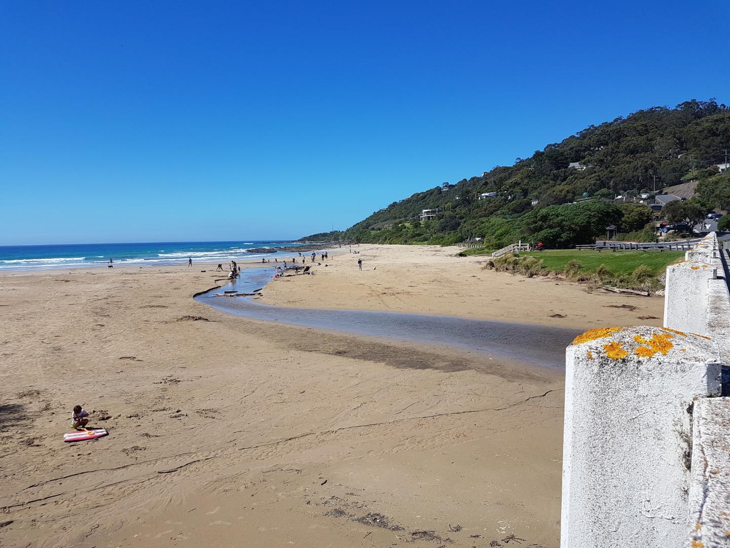
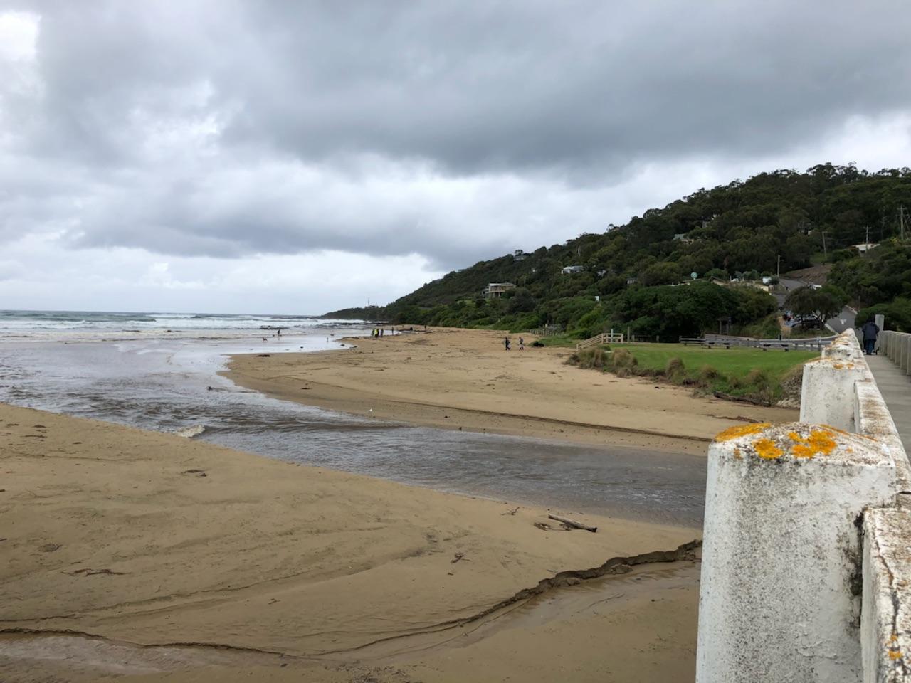
Active Mouth Condition 20-01-2007 - 21-04-2024Wye River Estuary
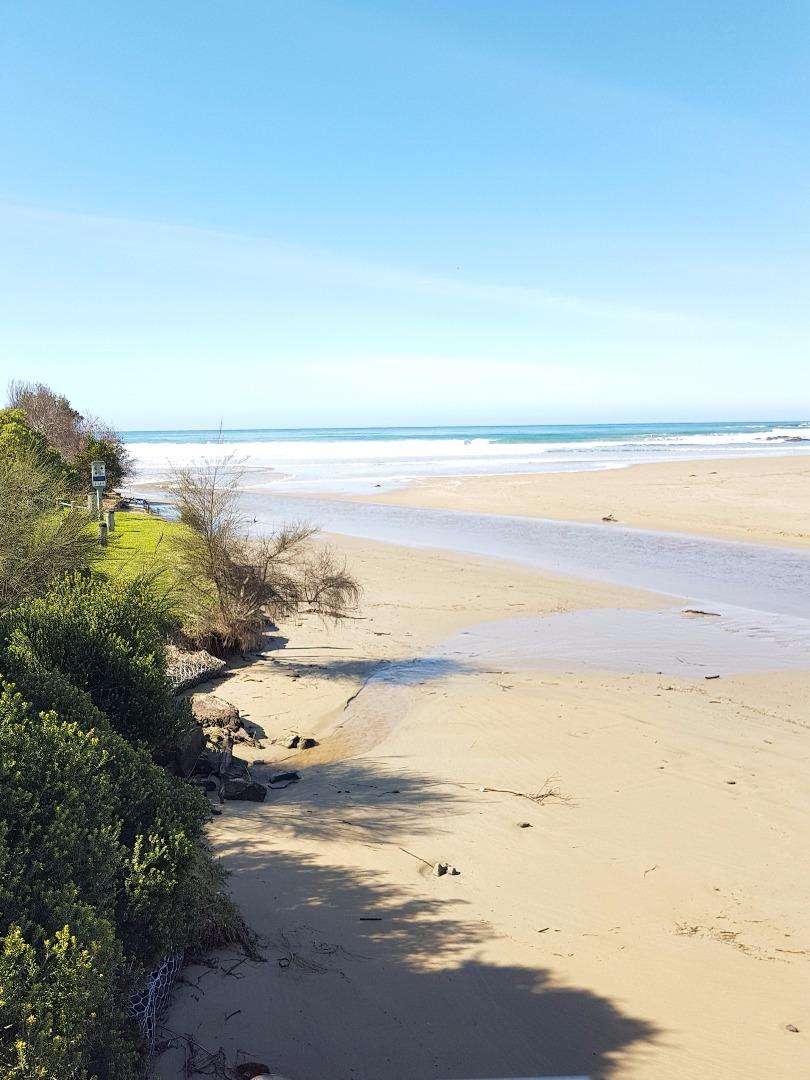
| ID | Date | Status | Details | |
|---|---|---|---|---|
| #11423 | 3 Sep 2017 | Approved |
Notes:
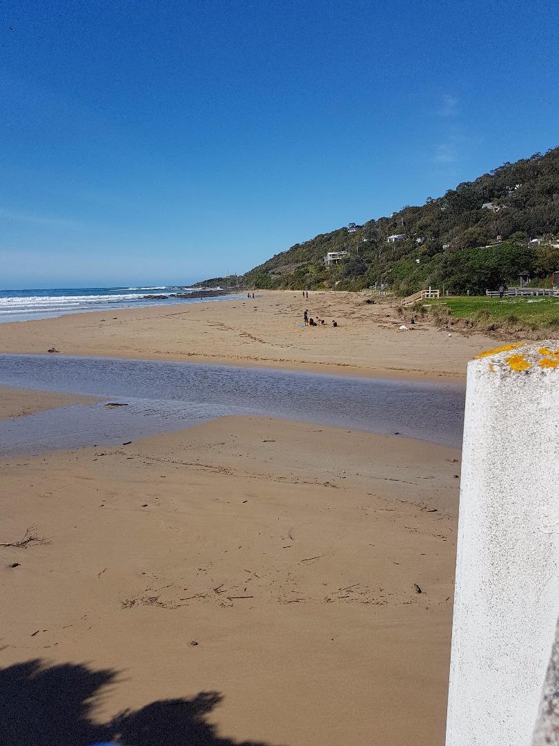
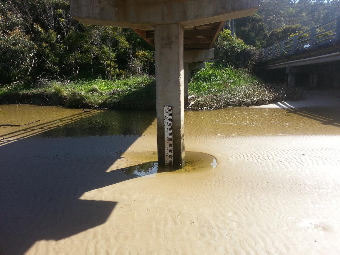
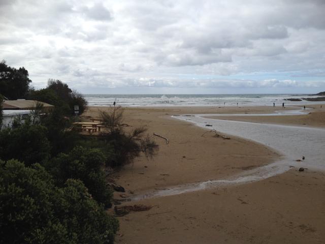
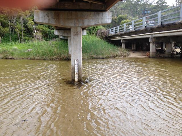
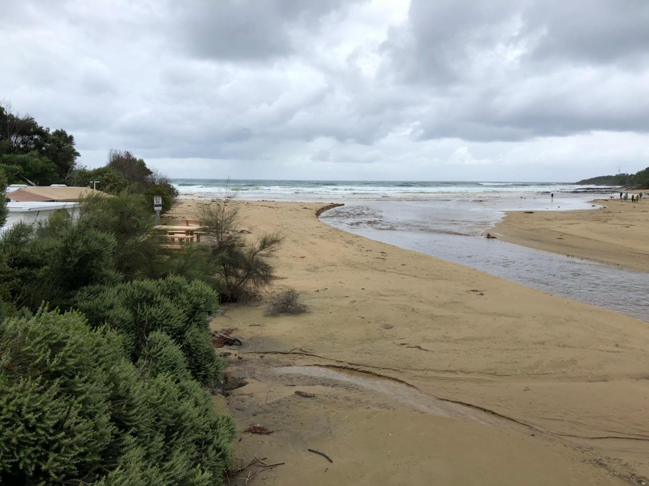
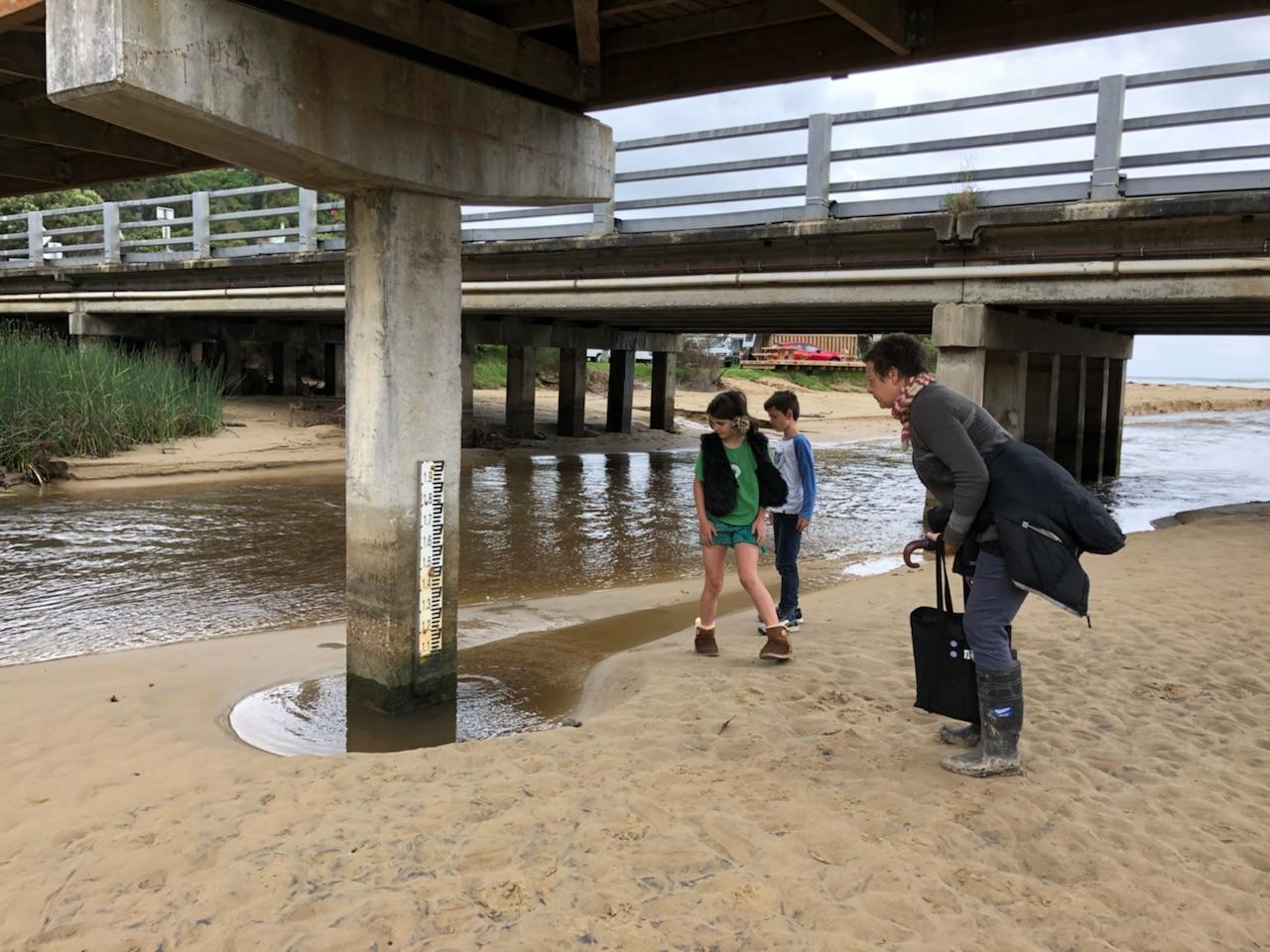
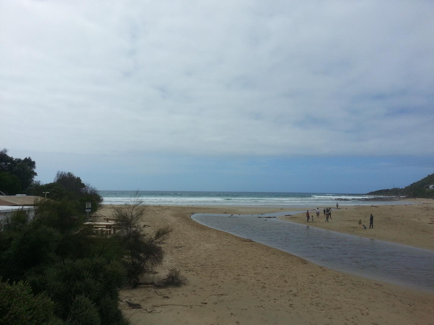
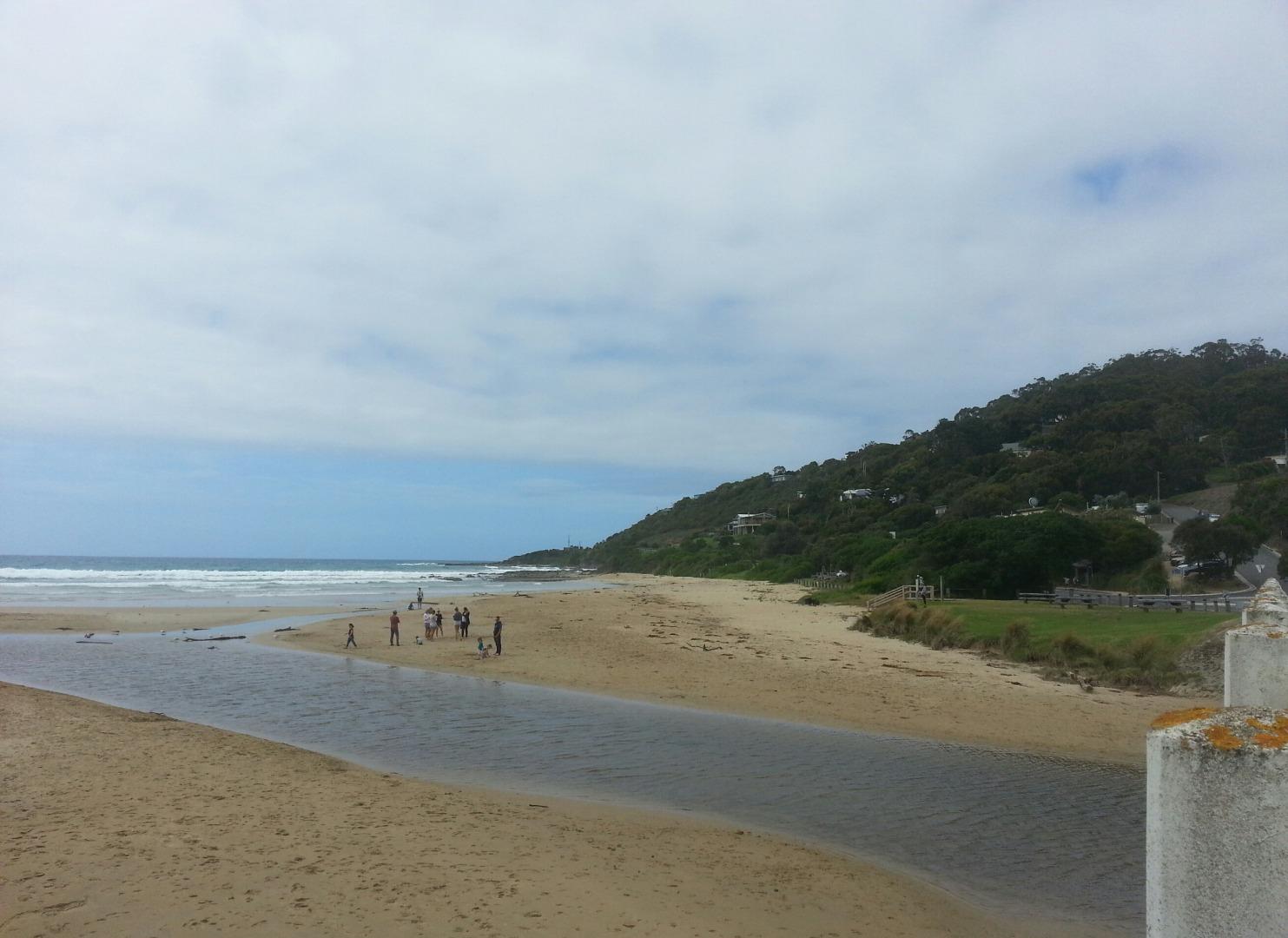
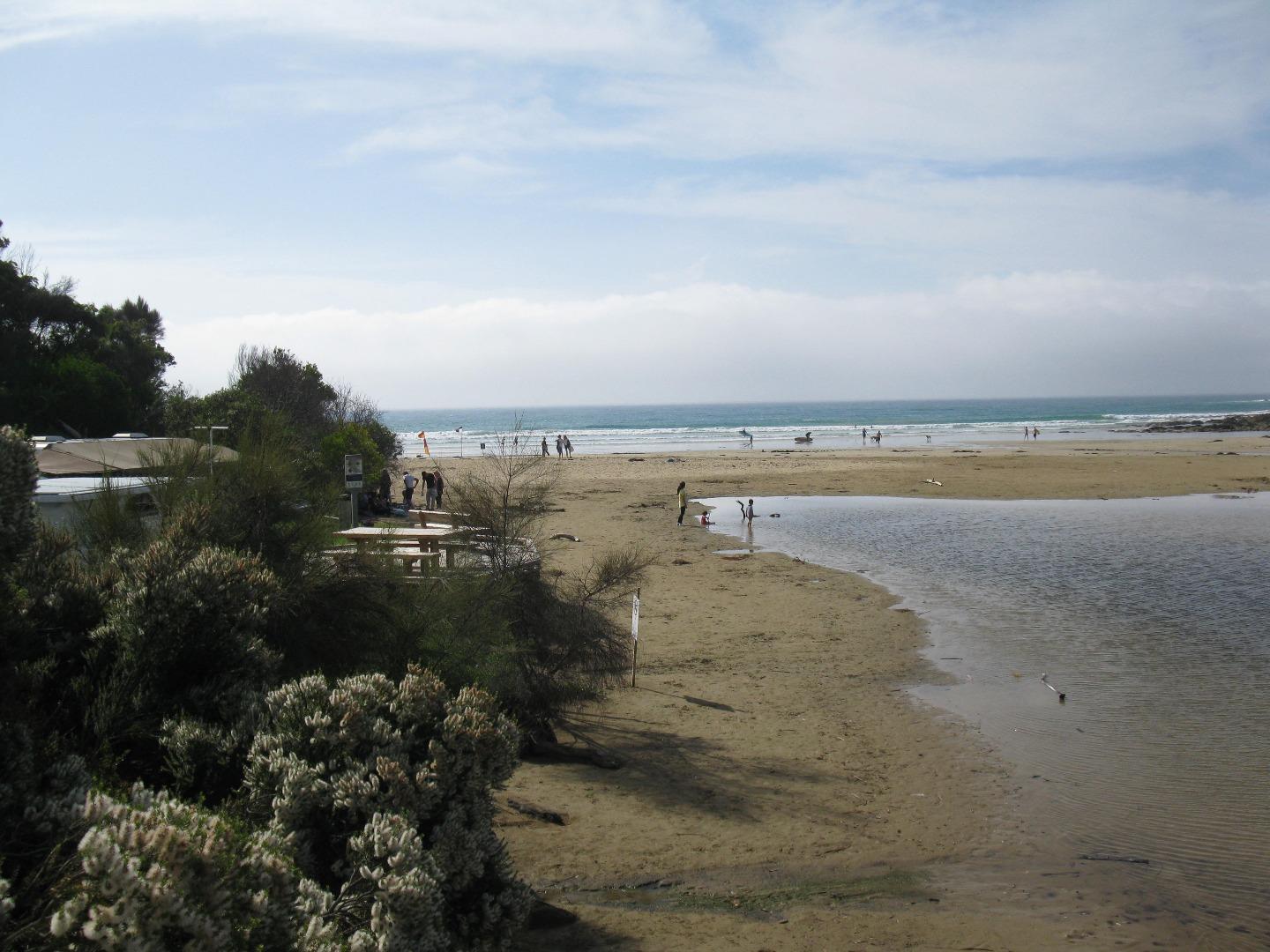
The river channel has narrowed and the depth gauge is in sand, thus no water height can be recorded. See photo. Dolphins sighted close to the shore at 10.05am. |
|
| #11477 | 17 Sep 2017 | Approved | ||
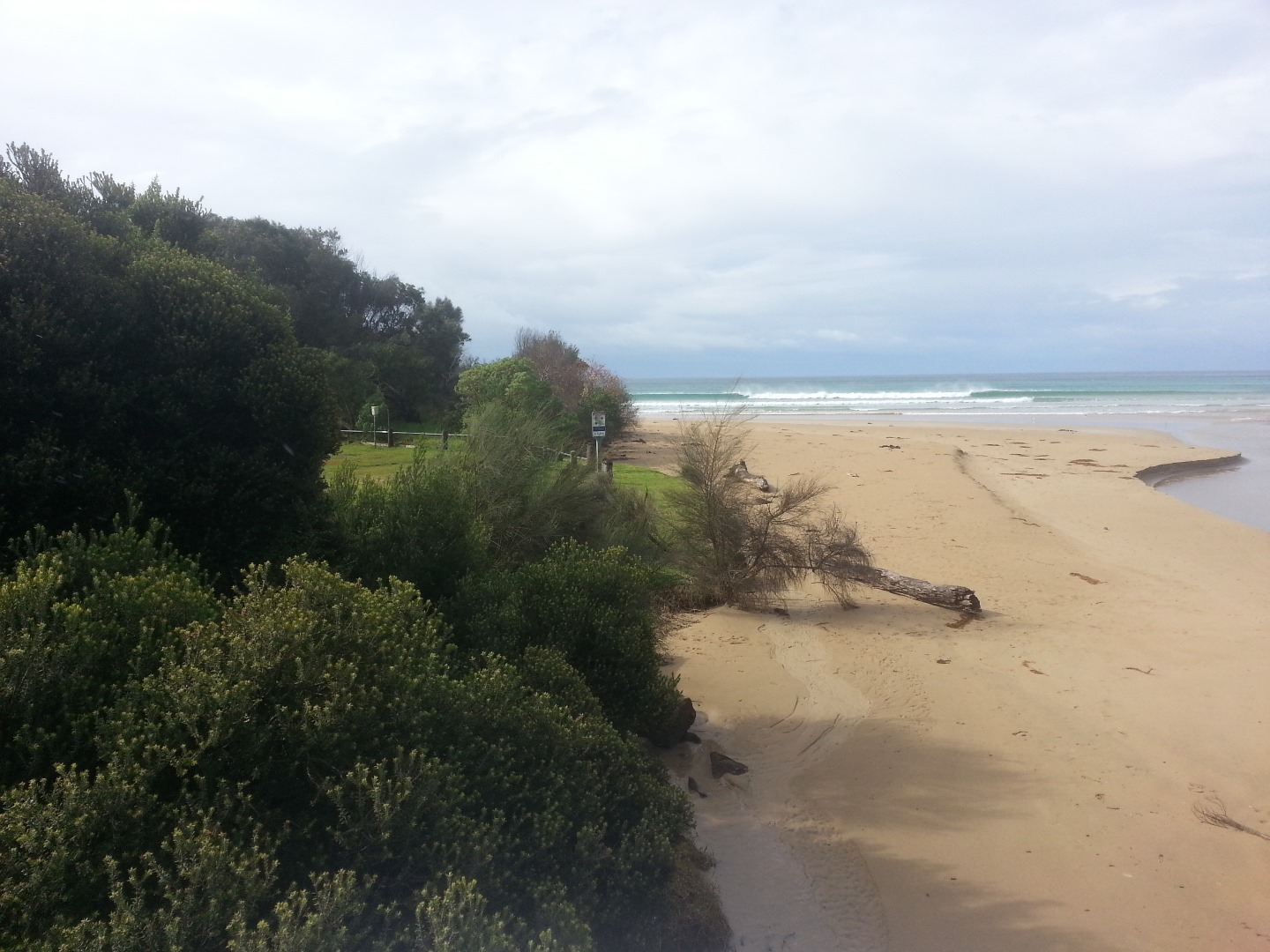
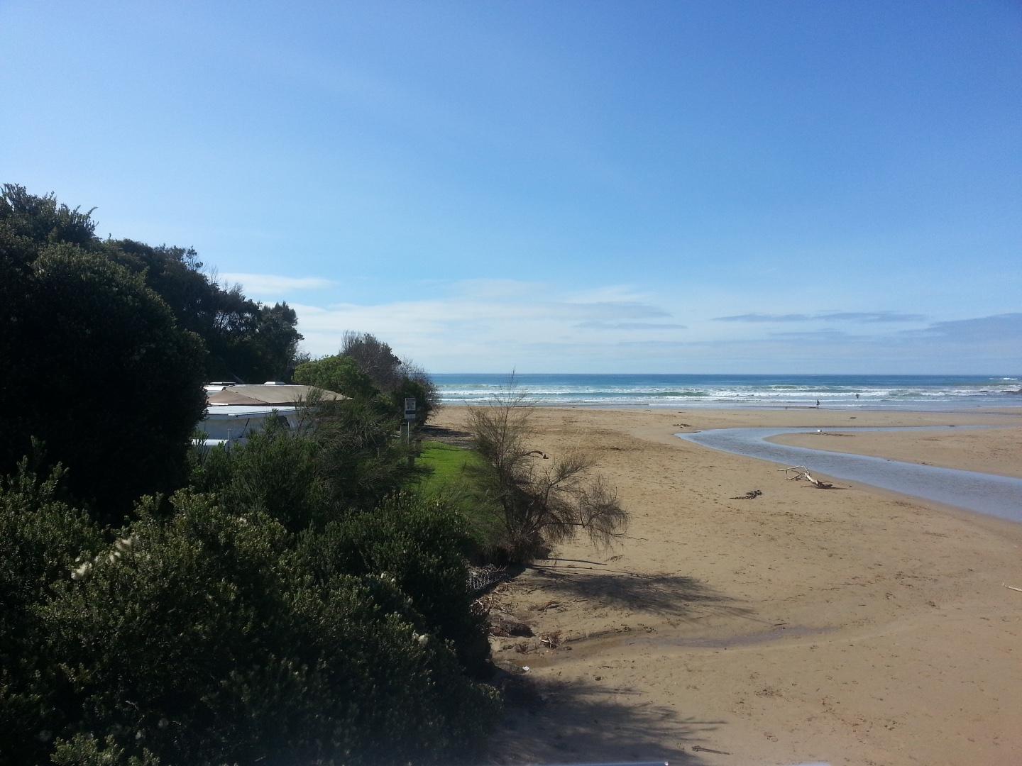
| #11511 | 1 Oct 2017 | Approved |
Notes:
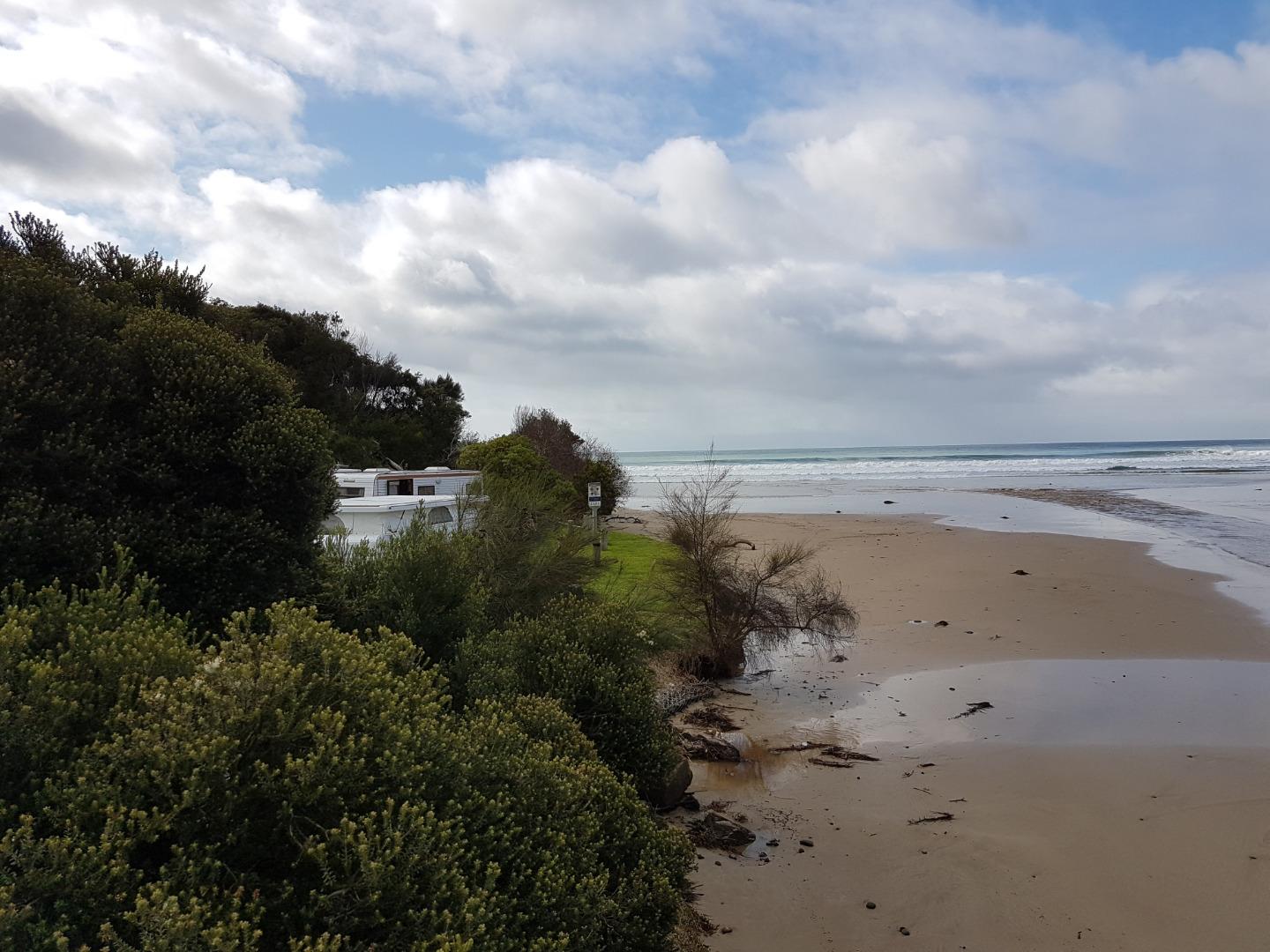
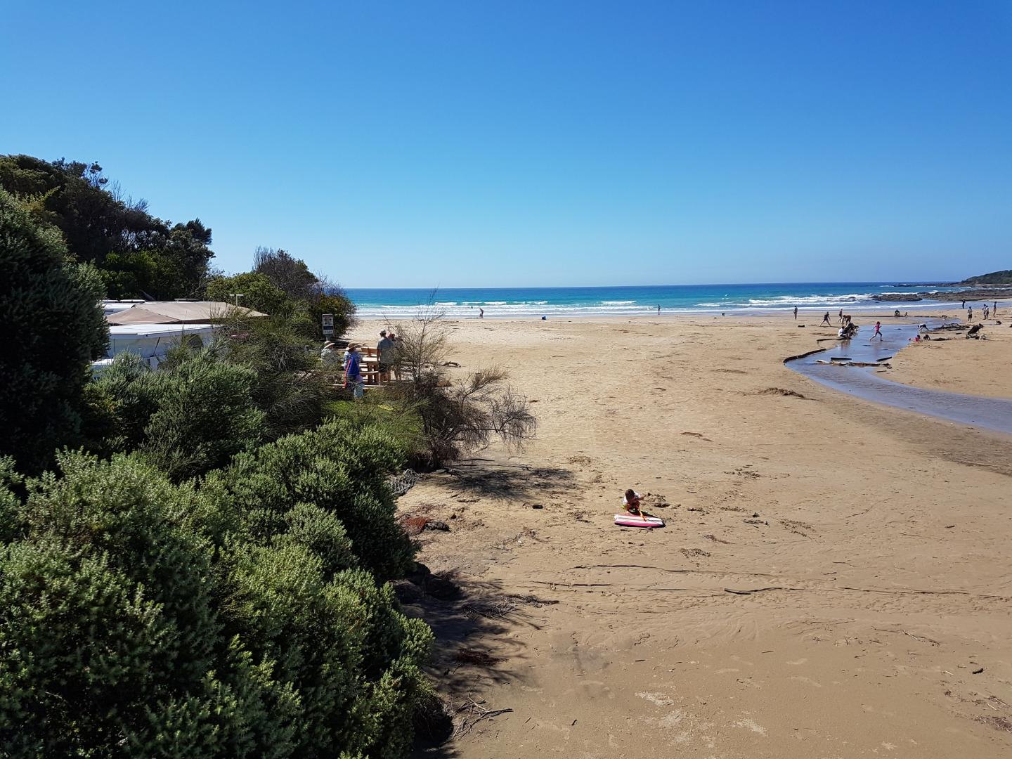
The whole river bed upstream of the bridge is now covered with sand - we have a new beach (see attached photo). A lot of sand lost in front of the campsite and river flowing straight out to sea. |
|
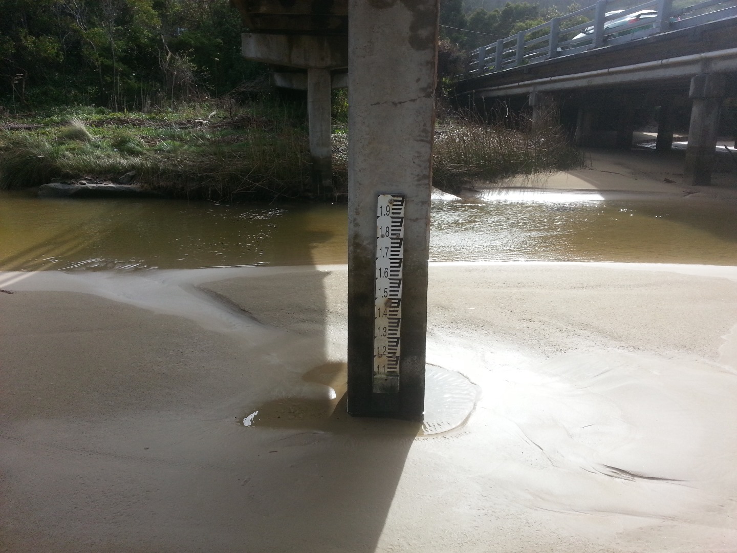
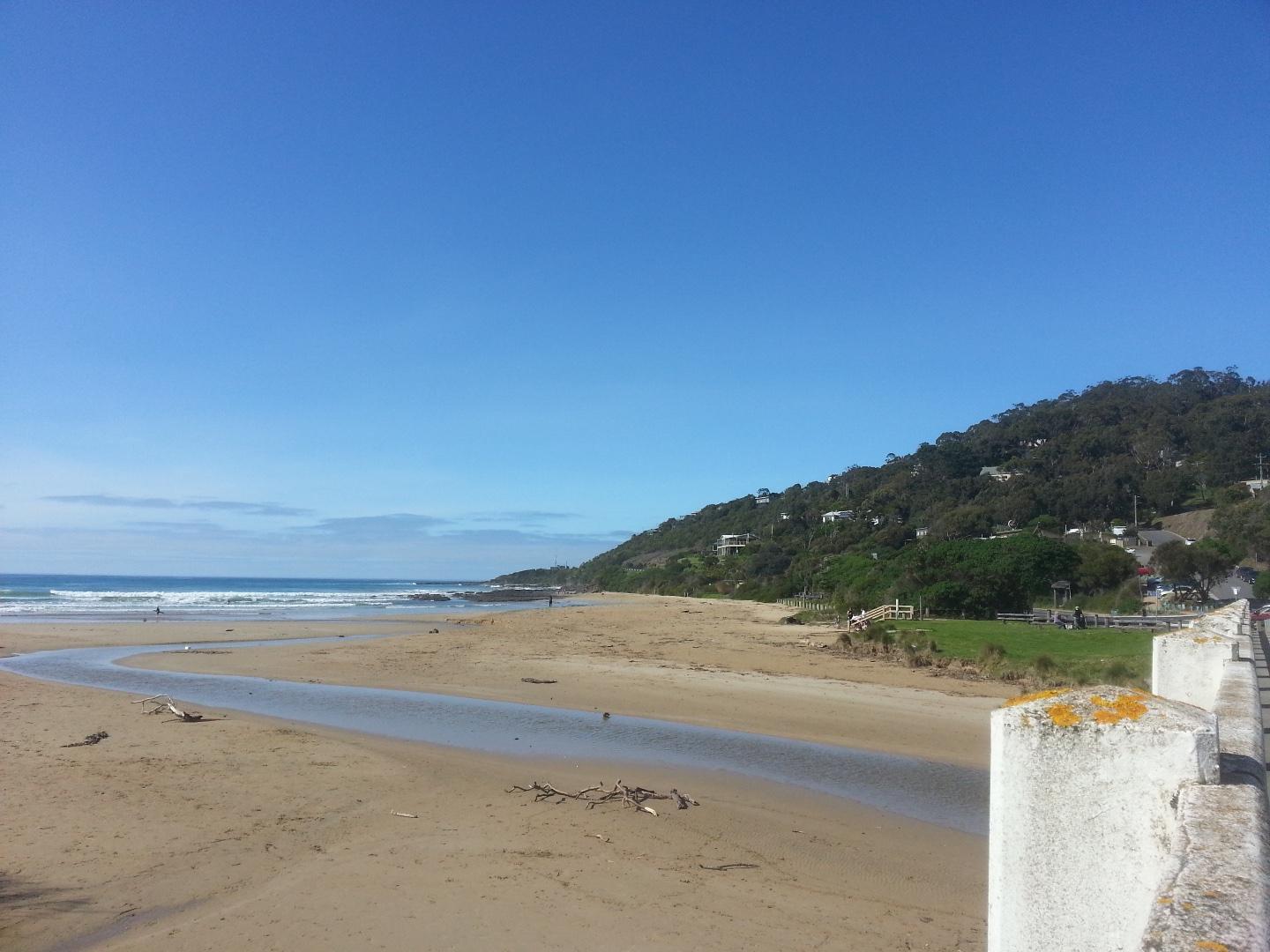
| #11513 | 15 Oct 2017 | Approved |
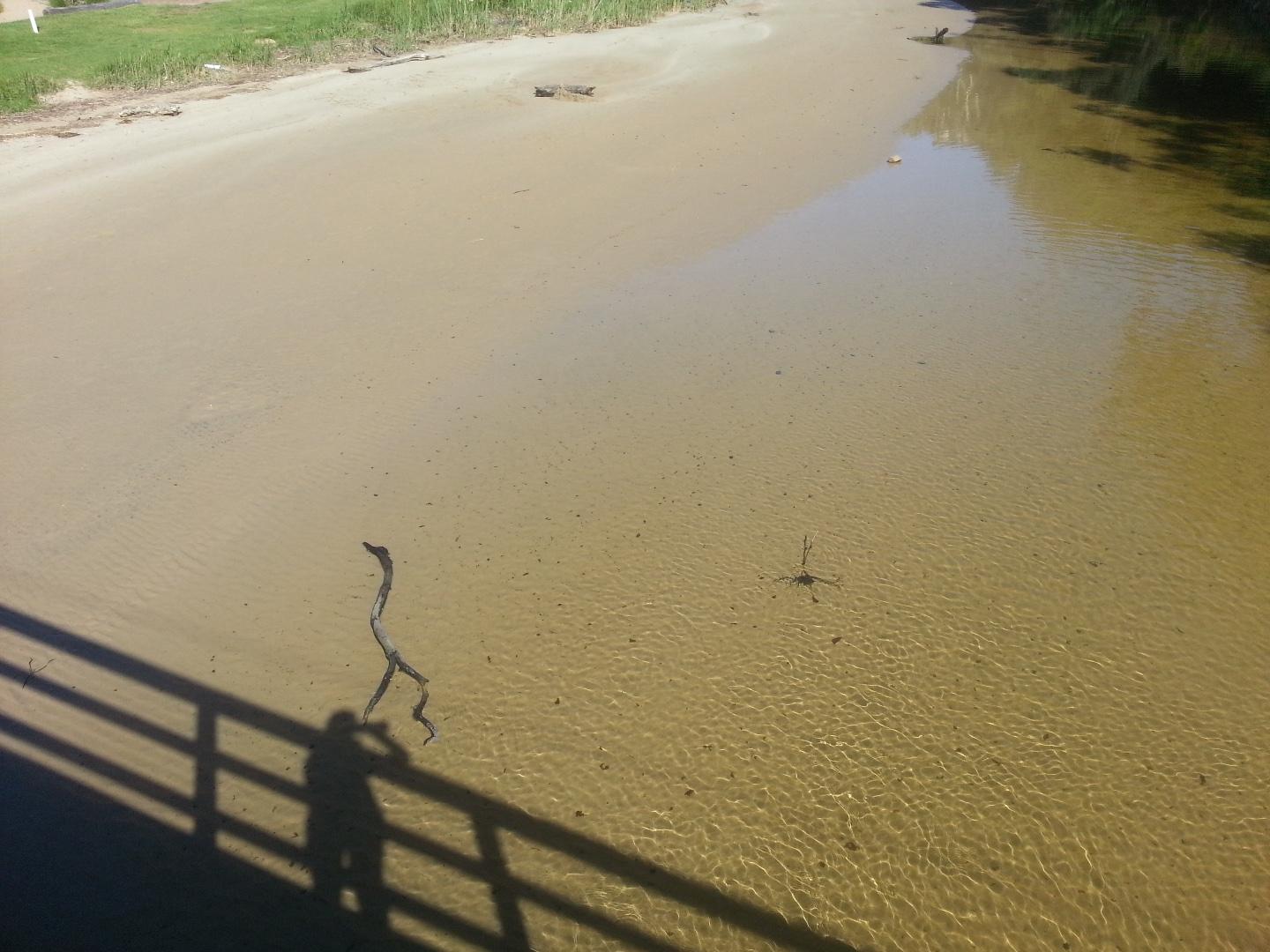
Notes:
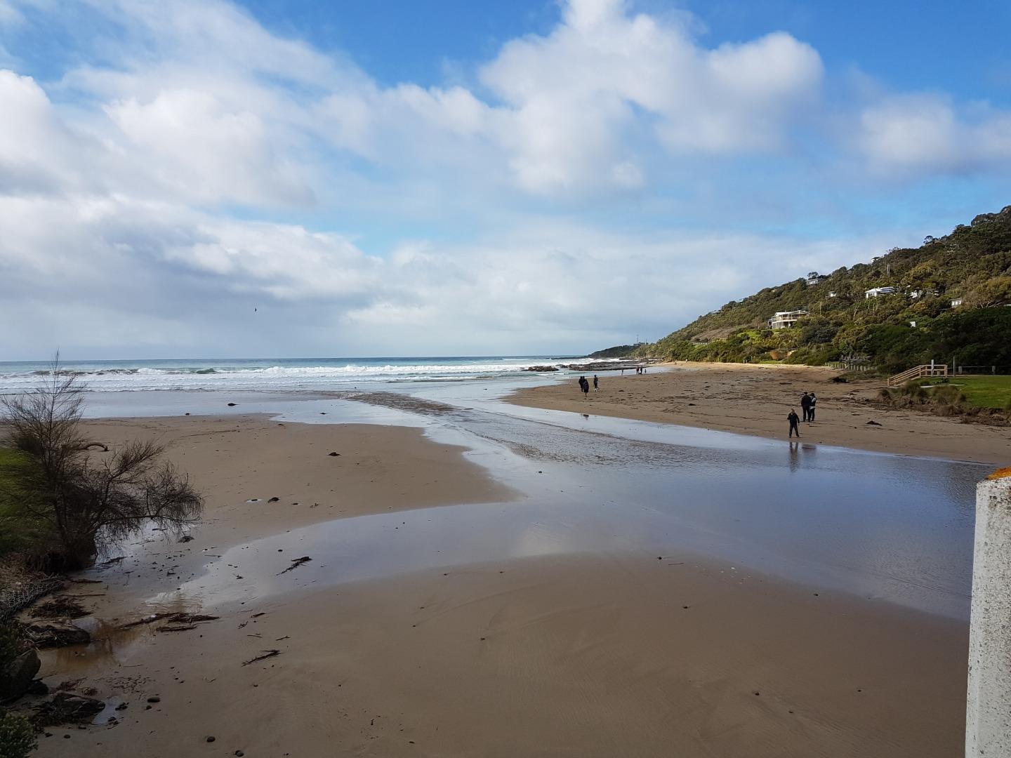
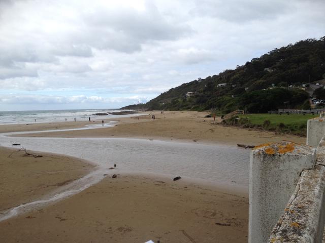
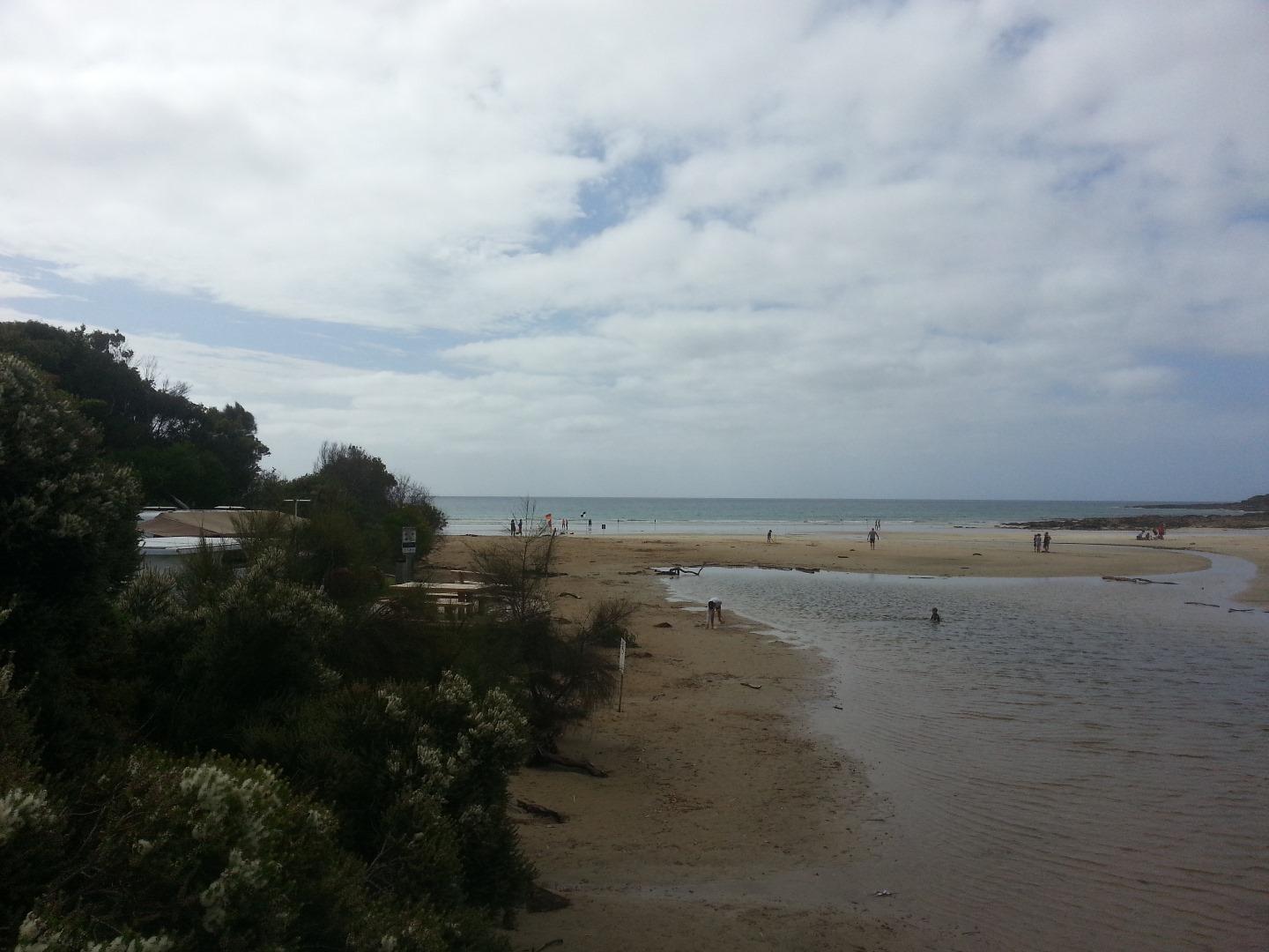
1. Water level - unable to measure as too low- photo taken for reference. 2. Sand bank visible around water level measure - photo for reference taken from the Wye River bridge. |
|
| #11570 | 5 Nov 2017 | Approved |
Notes:
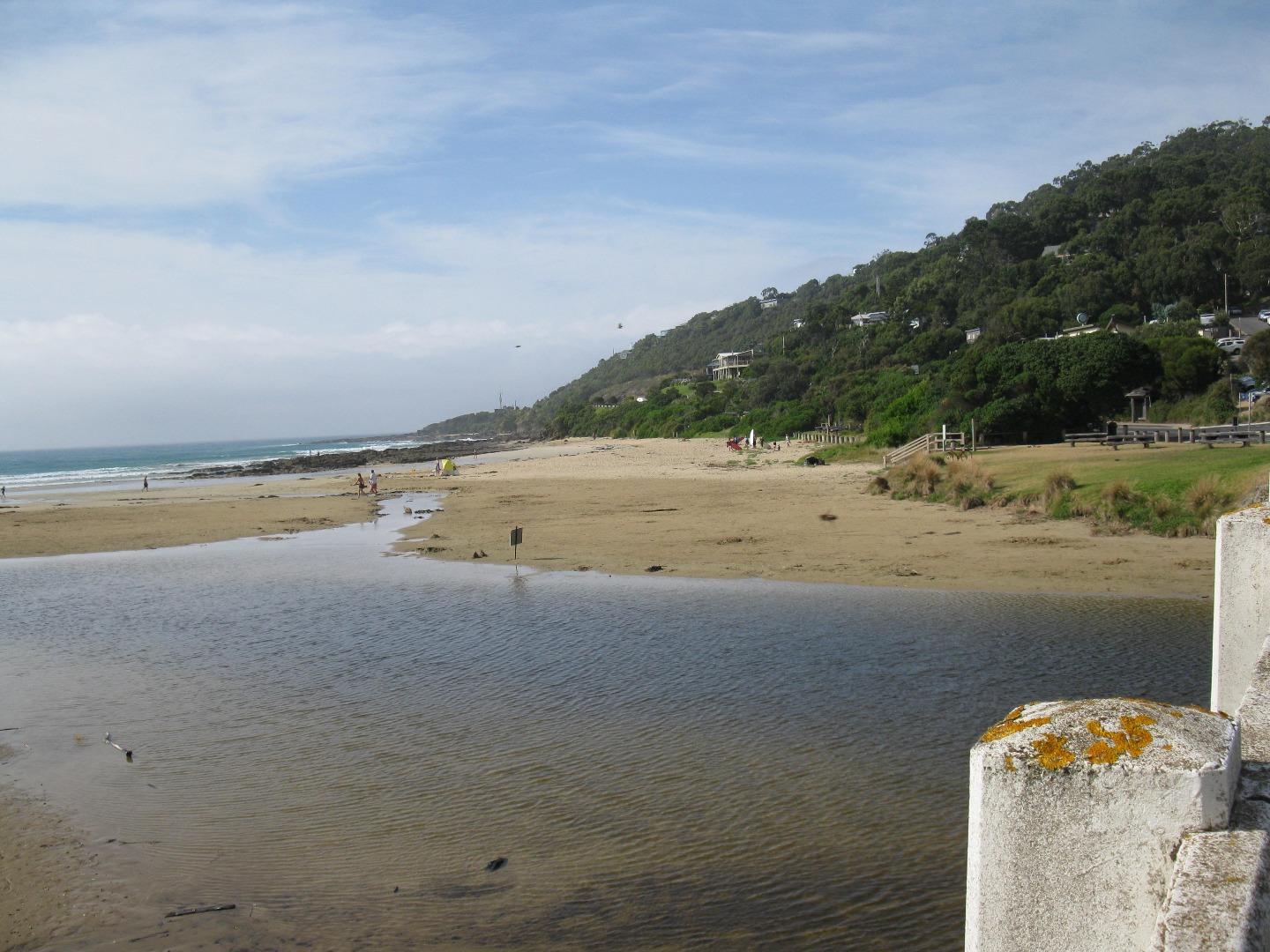
Algae growing in the floor of the river near the fishing Platform - see photos |
|
| #11706 | 19 Nov 2017 | Approved |
Notes:
|
|
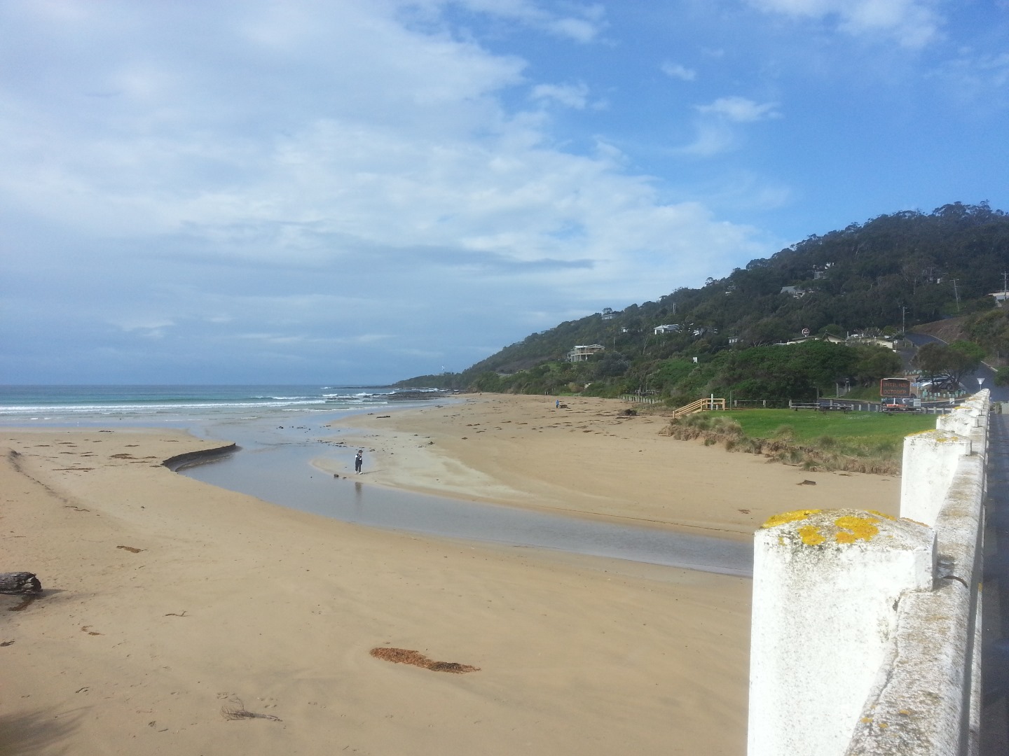
| #11621 | 3 Dec 2017 | Approved |
Notes:
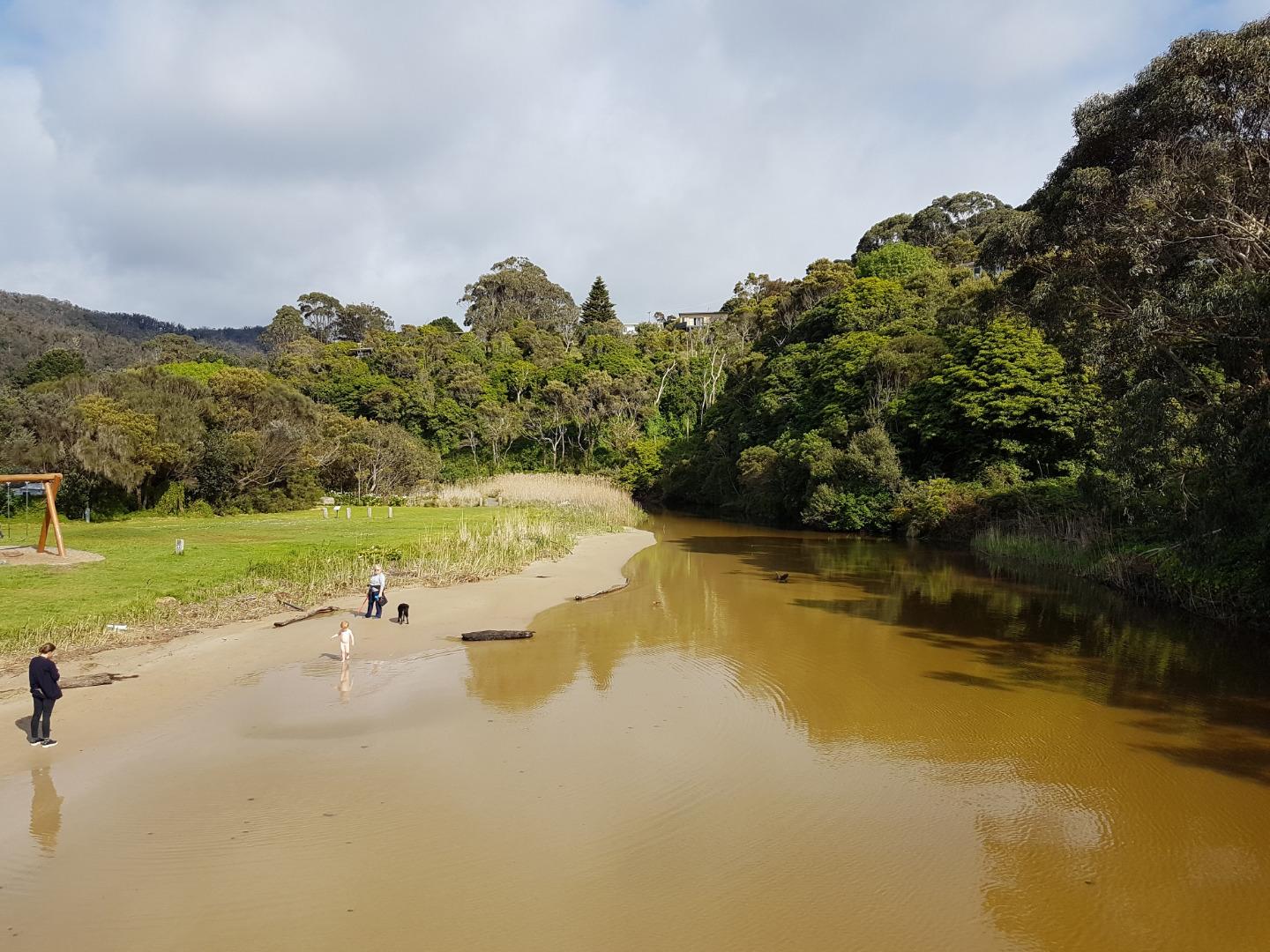
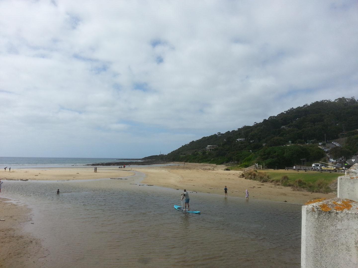
- even though the river is flowing fast out to sea the tide is coming in creating waves running up the river. -'Beach' under bridge and inland from bridge is becoming more established. |
|
| #11675 | 17 Dec 2017 | Approved | ||
| #11846 | 7 Jan 2018 | Approved | ||
| #11740 | 21 Jan 2018 | Approved | ||

All content, files, data and images provided by the EstuaryWatch Data Portal and Gallery are subject to a Creative Commons Attribution License
Content is made available to be used in any way, and should always attribute EstuaryWatch and www.estuarywatch.org.au