EstuaryWatch Data Portal
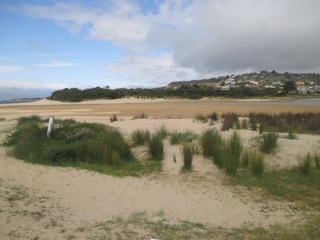
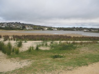
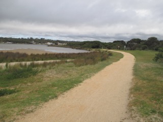
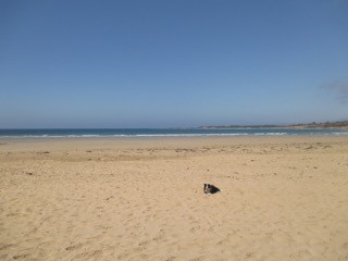
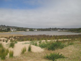
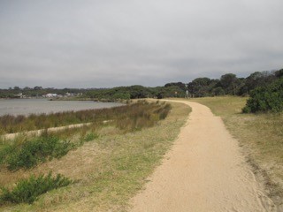
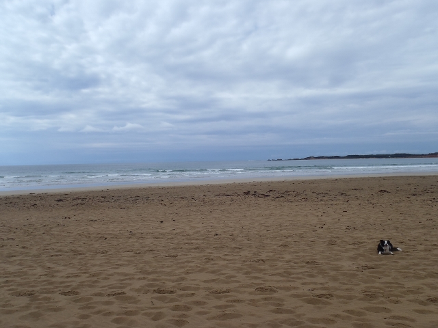
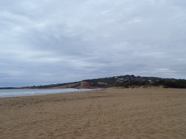
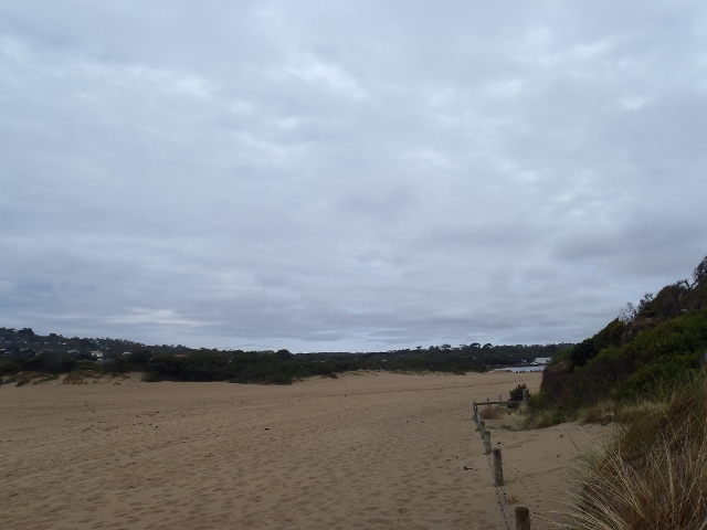
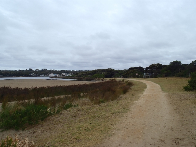
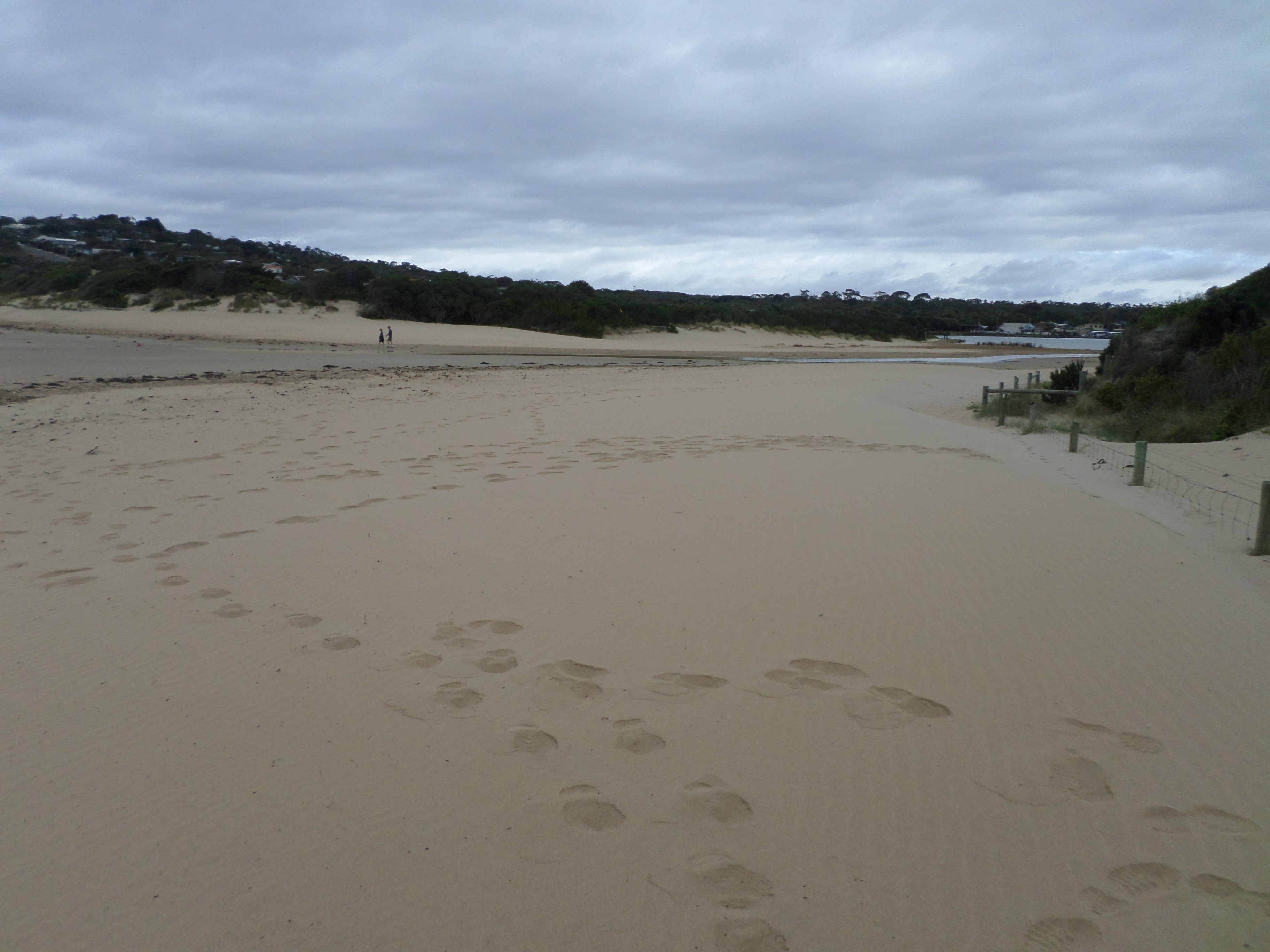
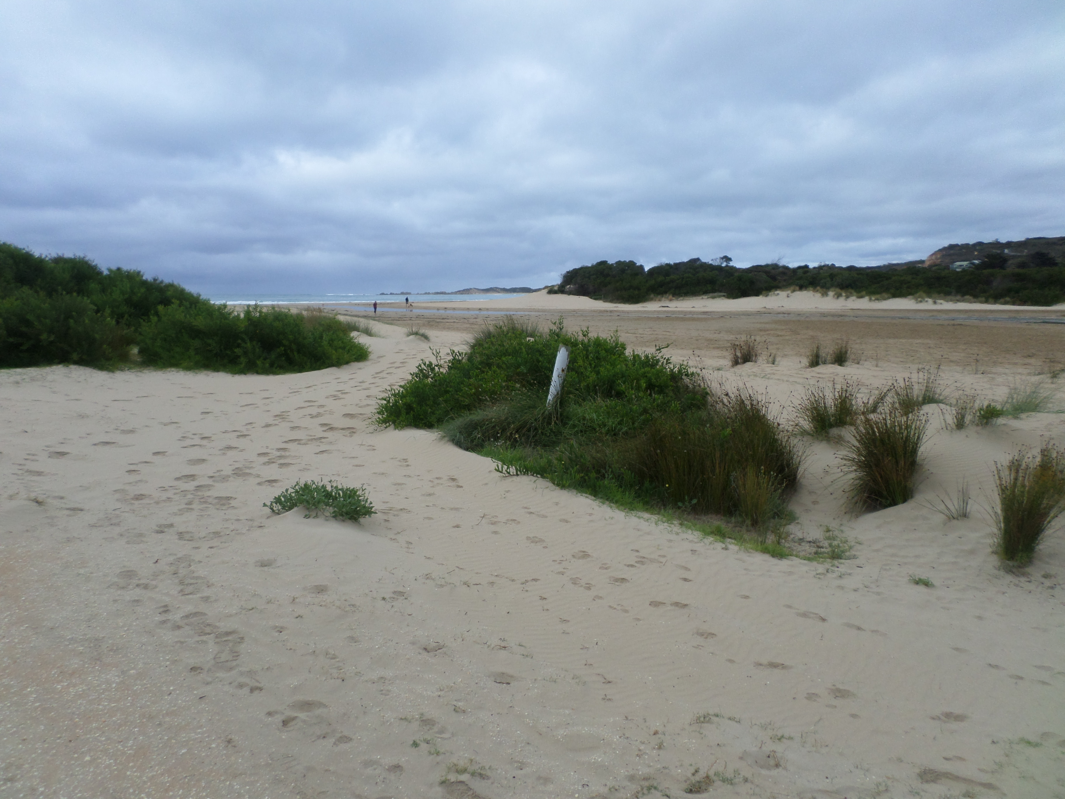
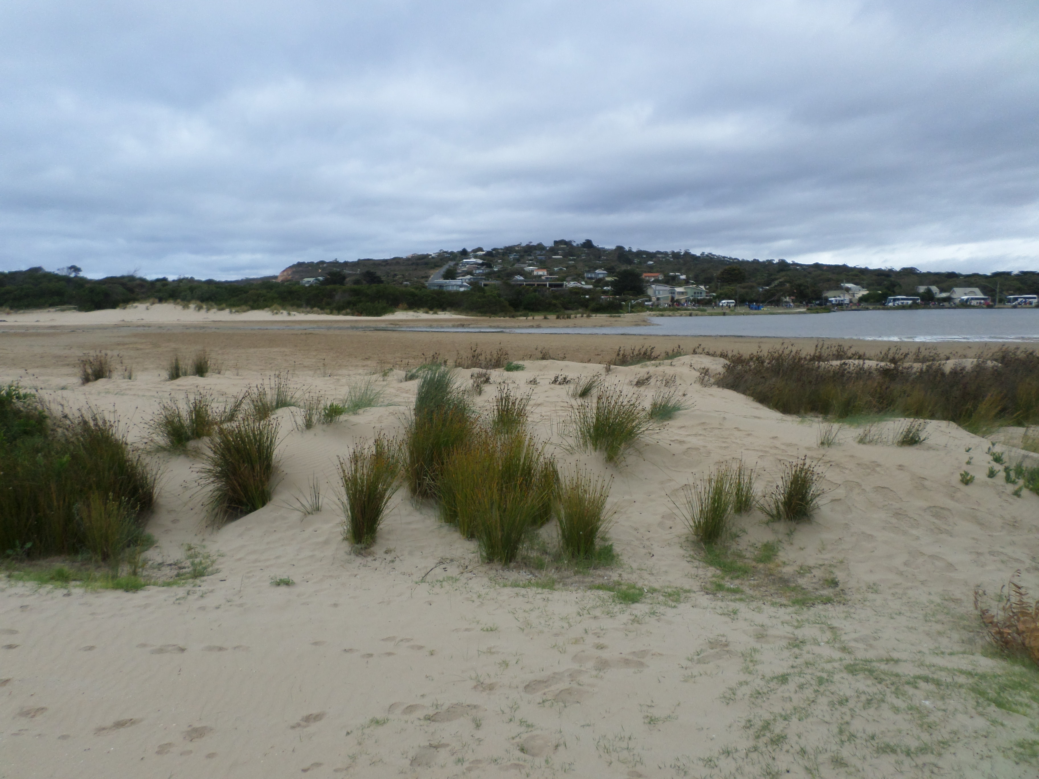
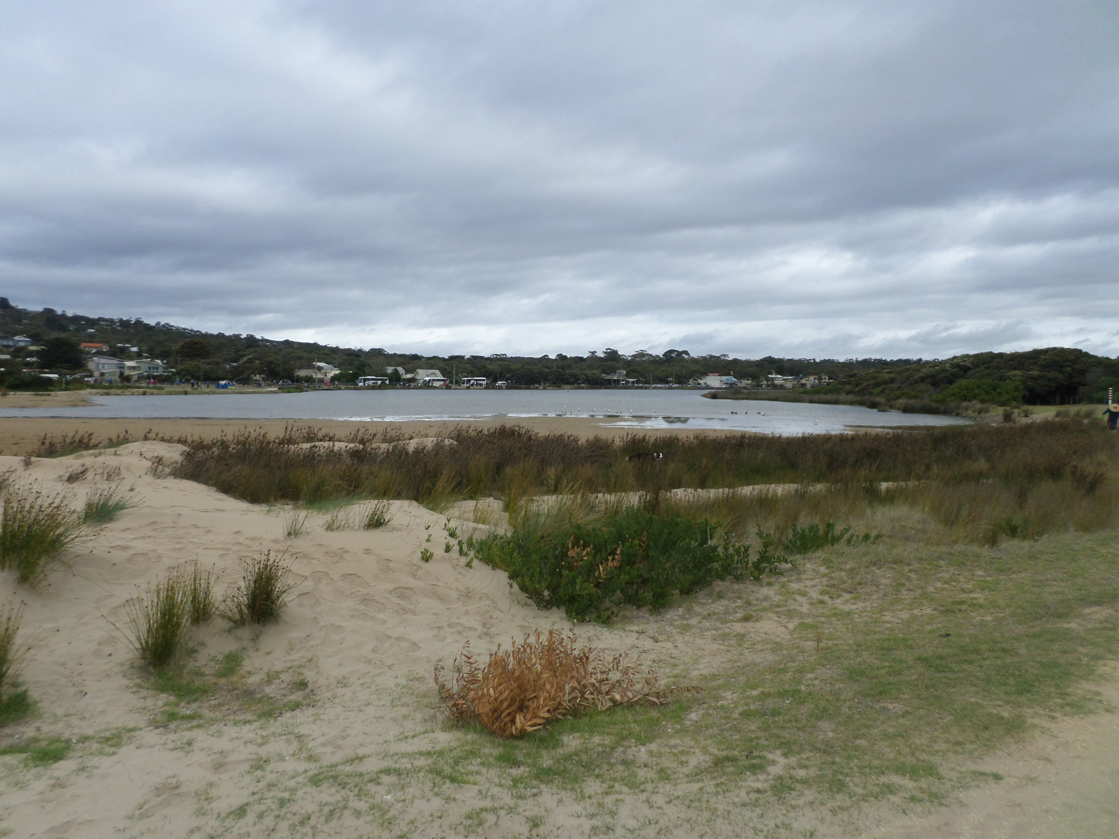
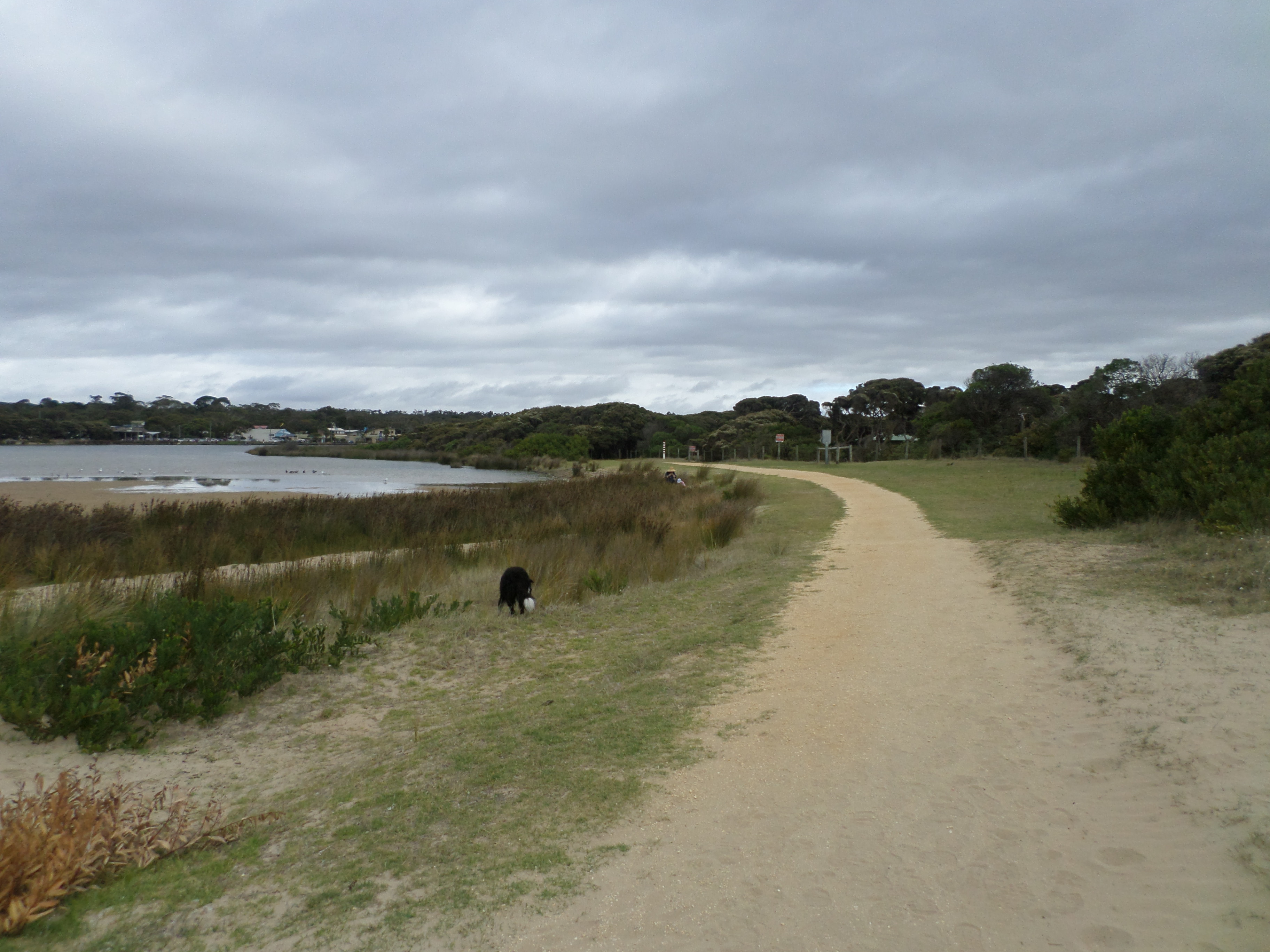
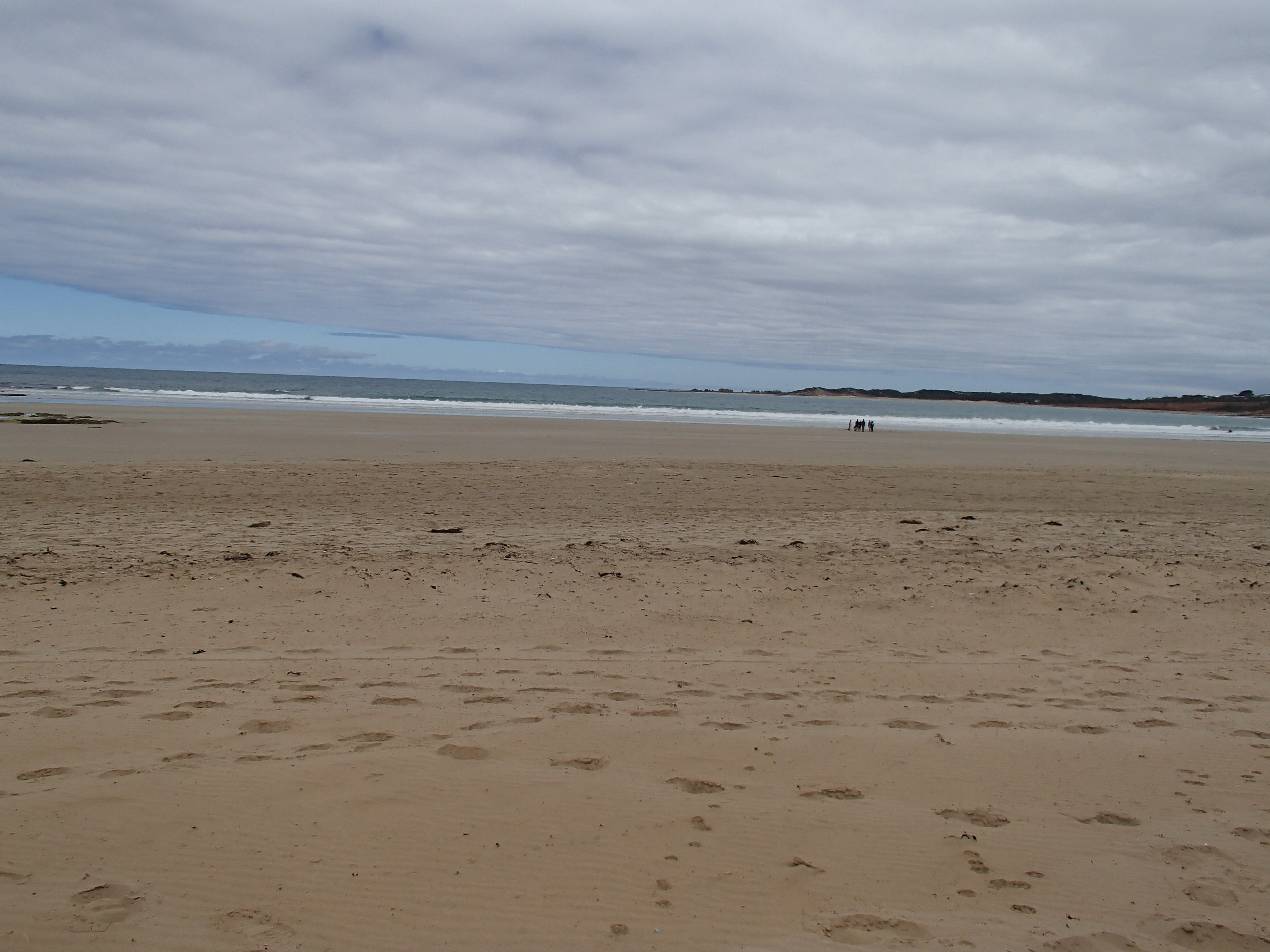
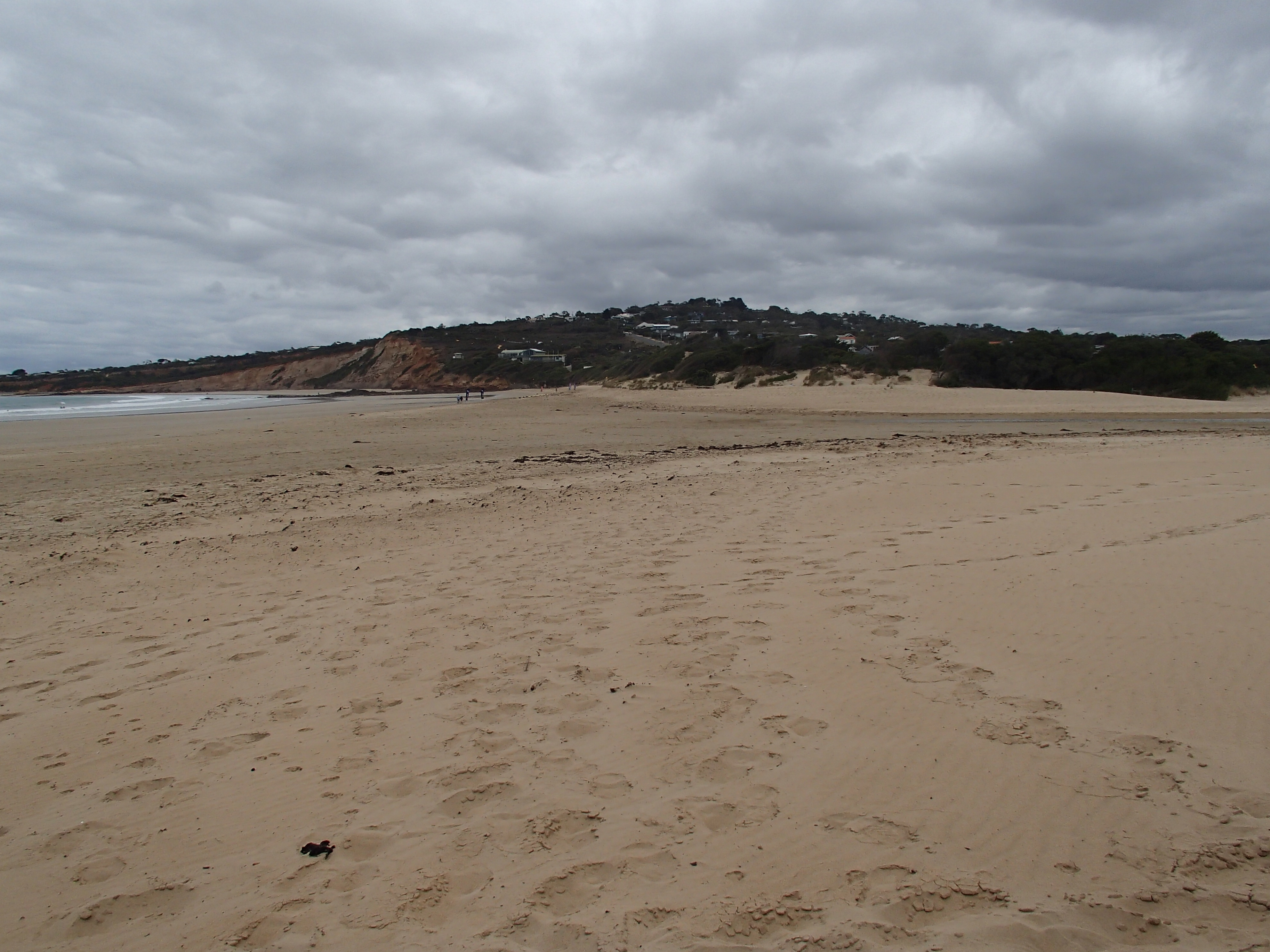
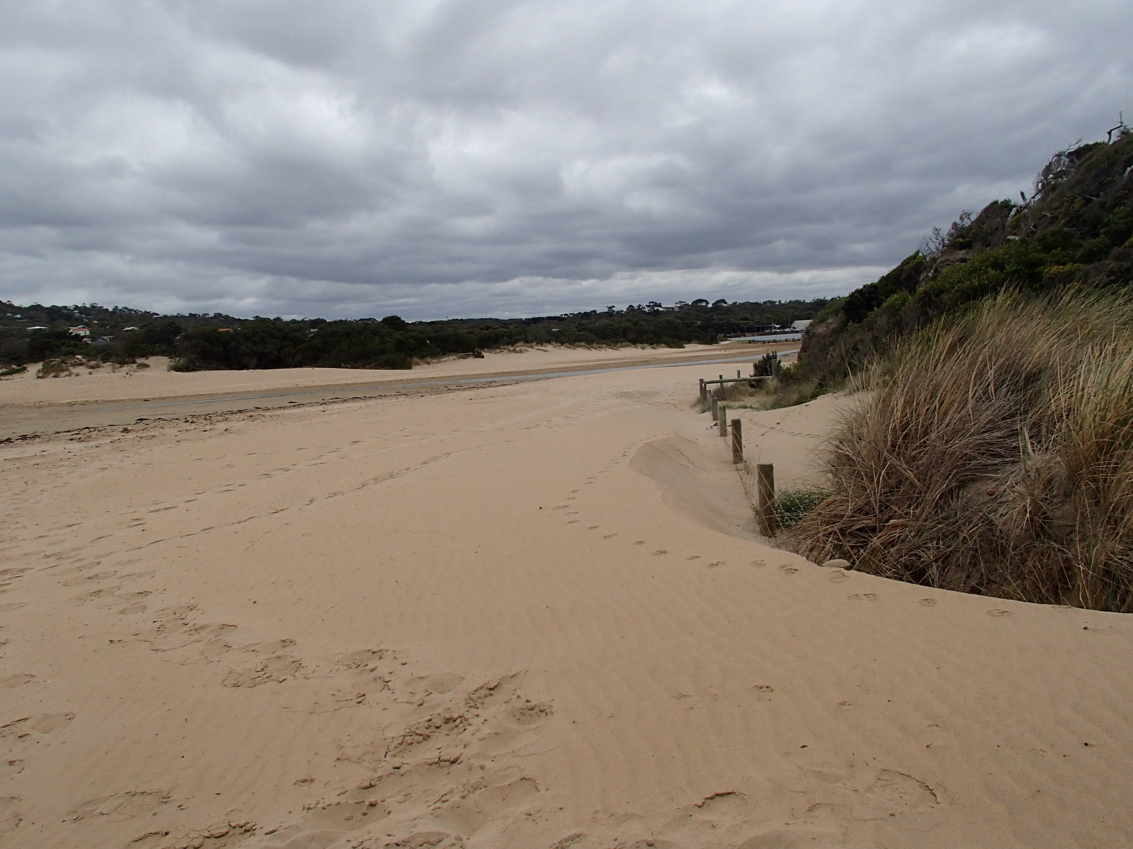
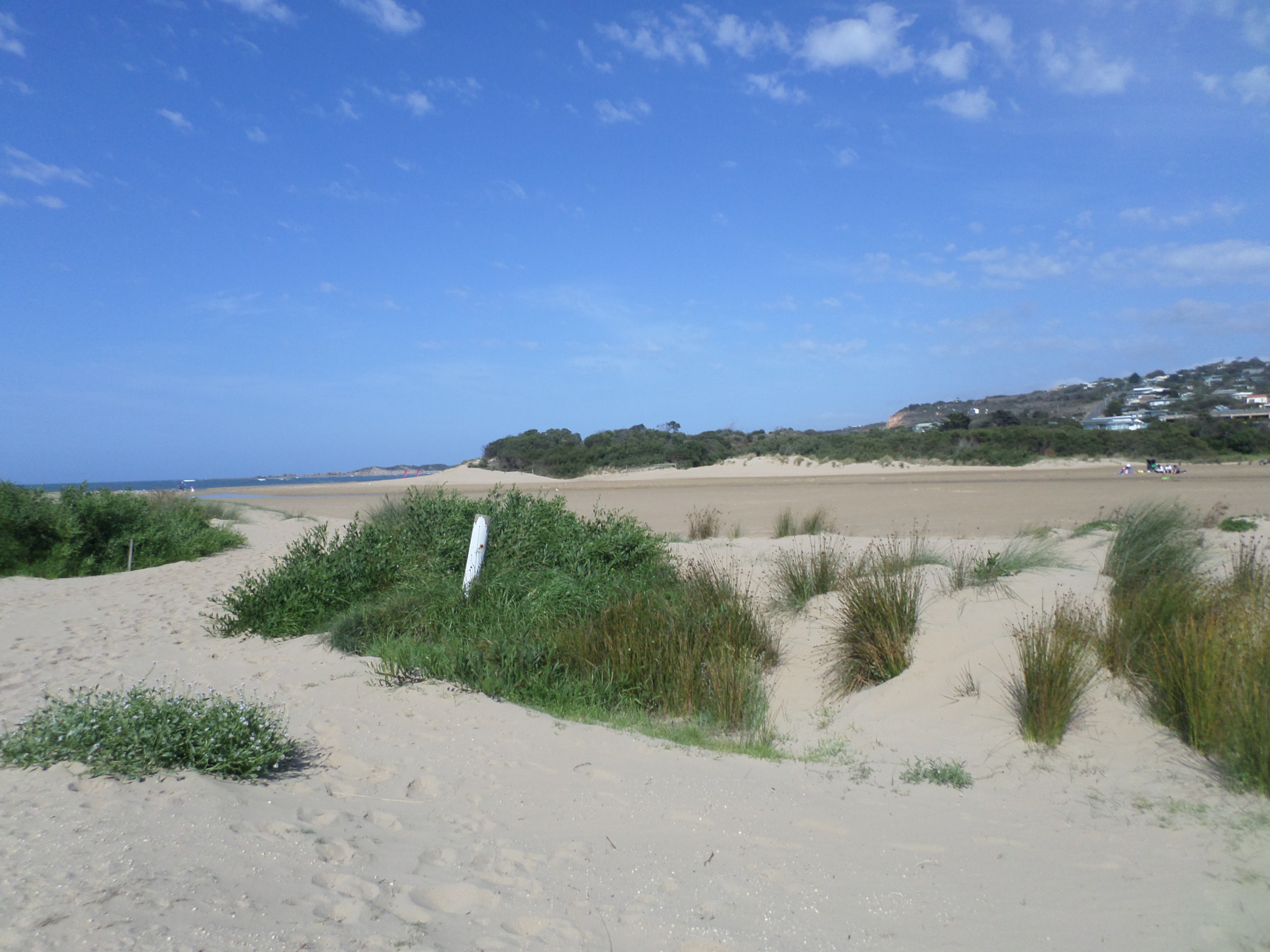
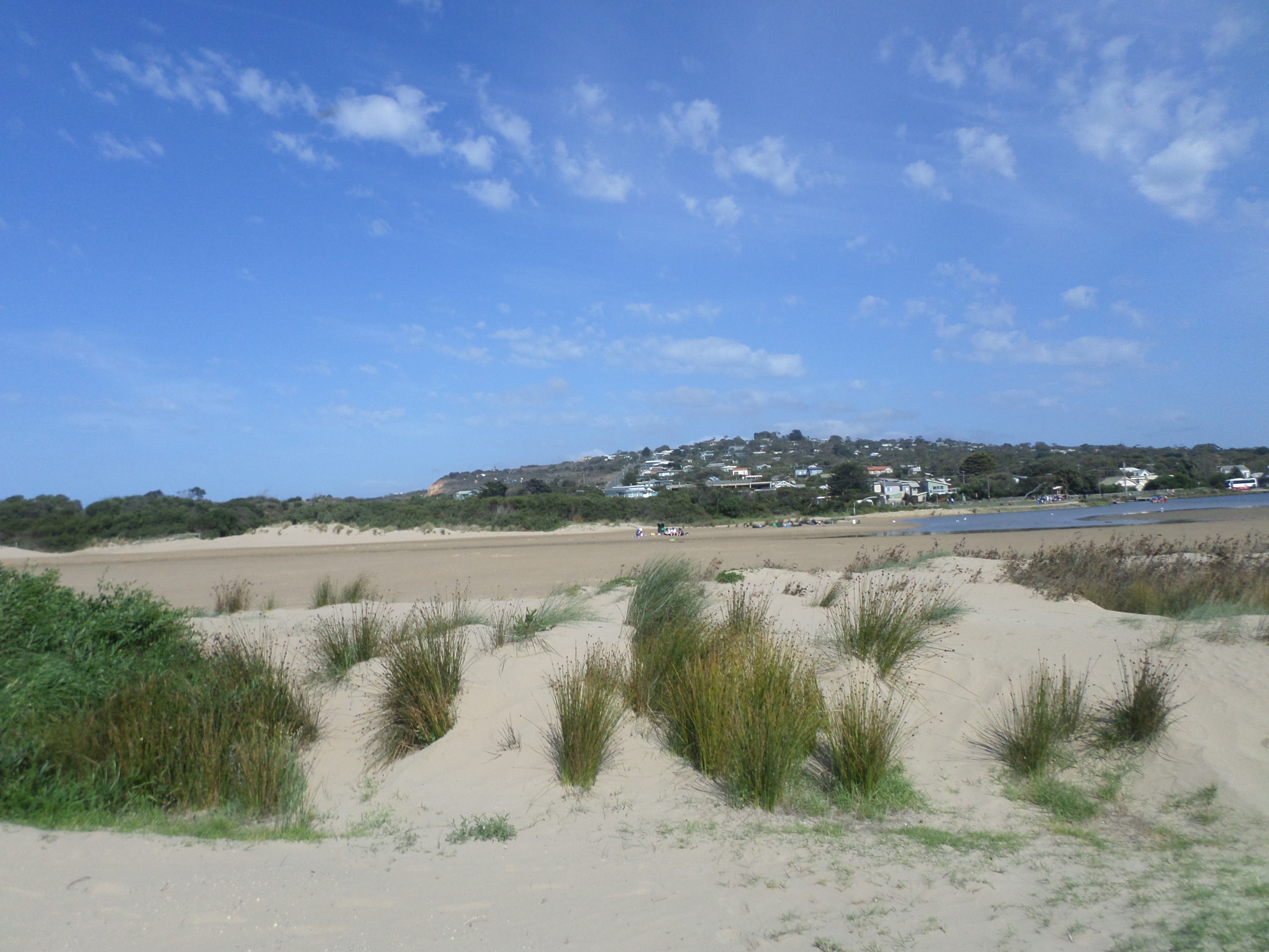
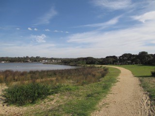
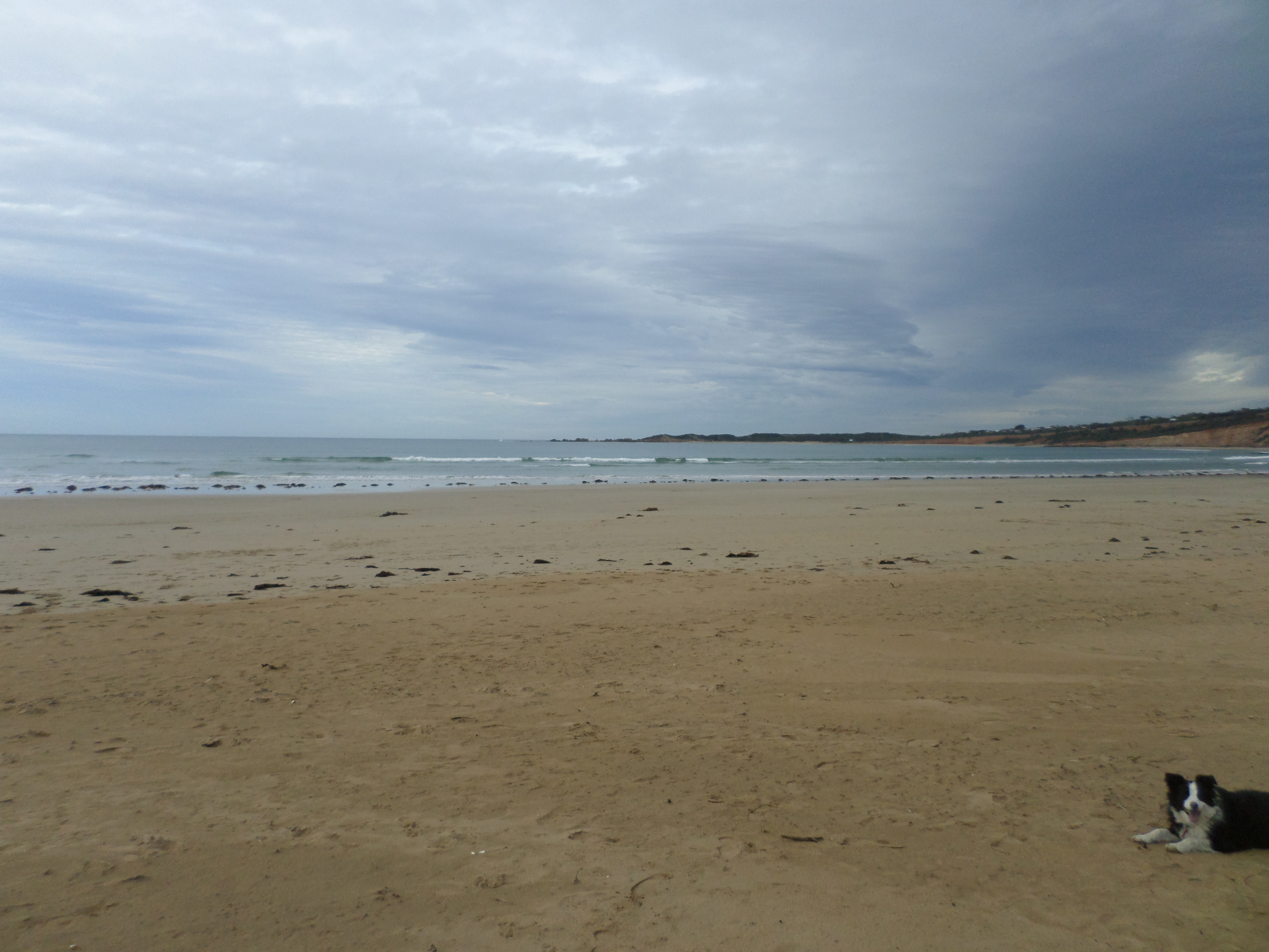
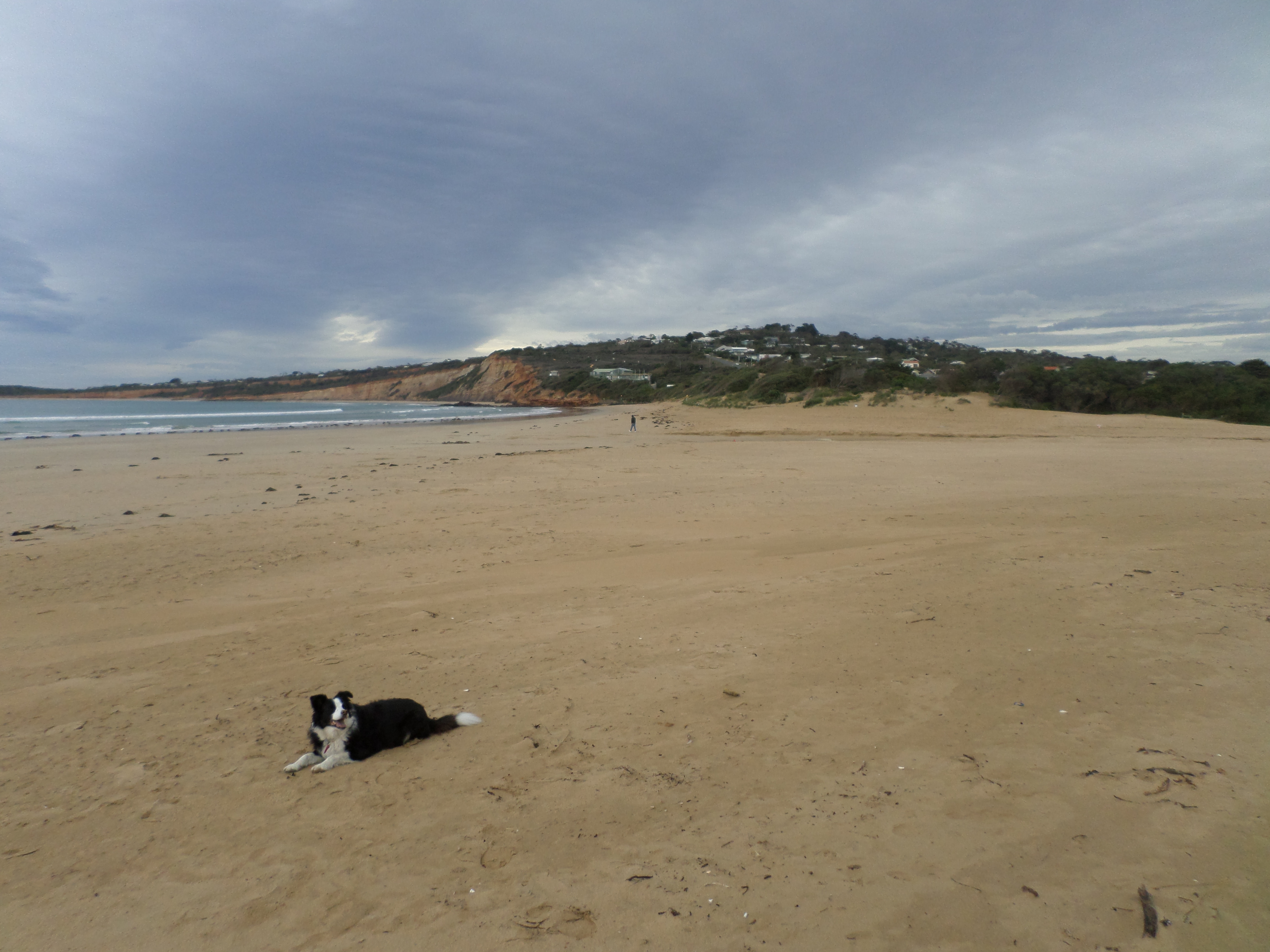
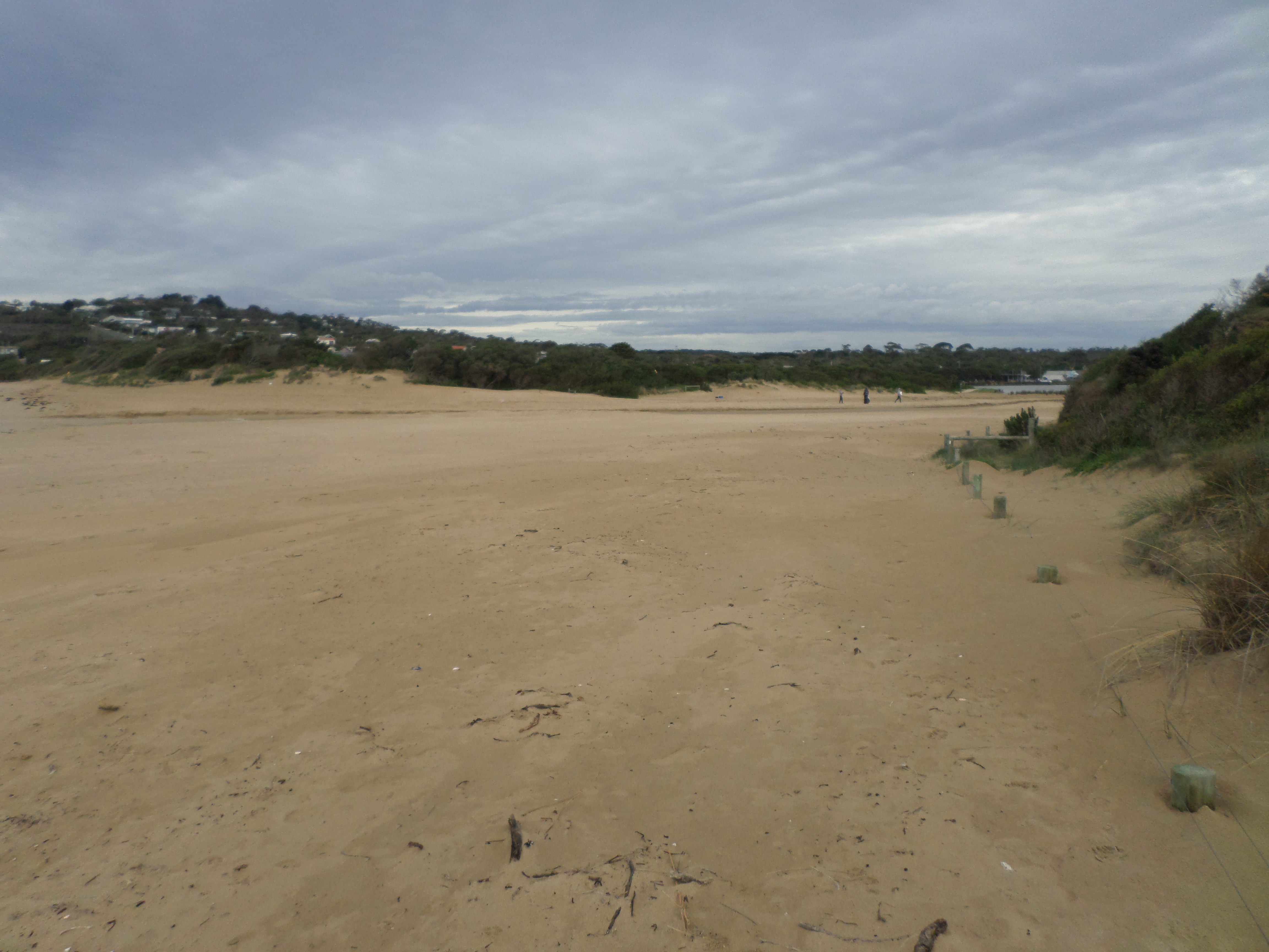
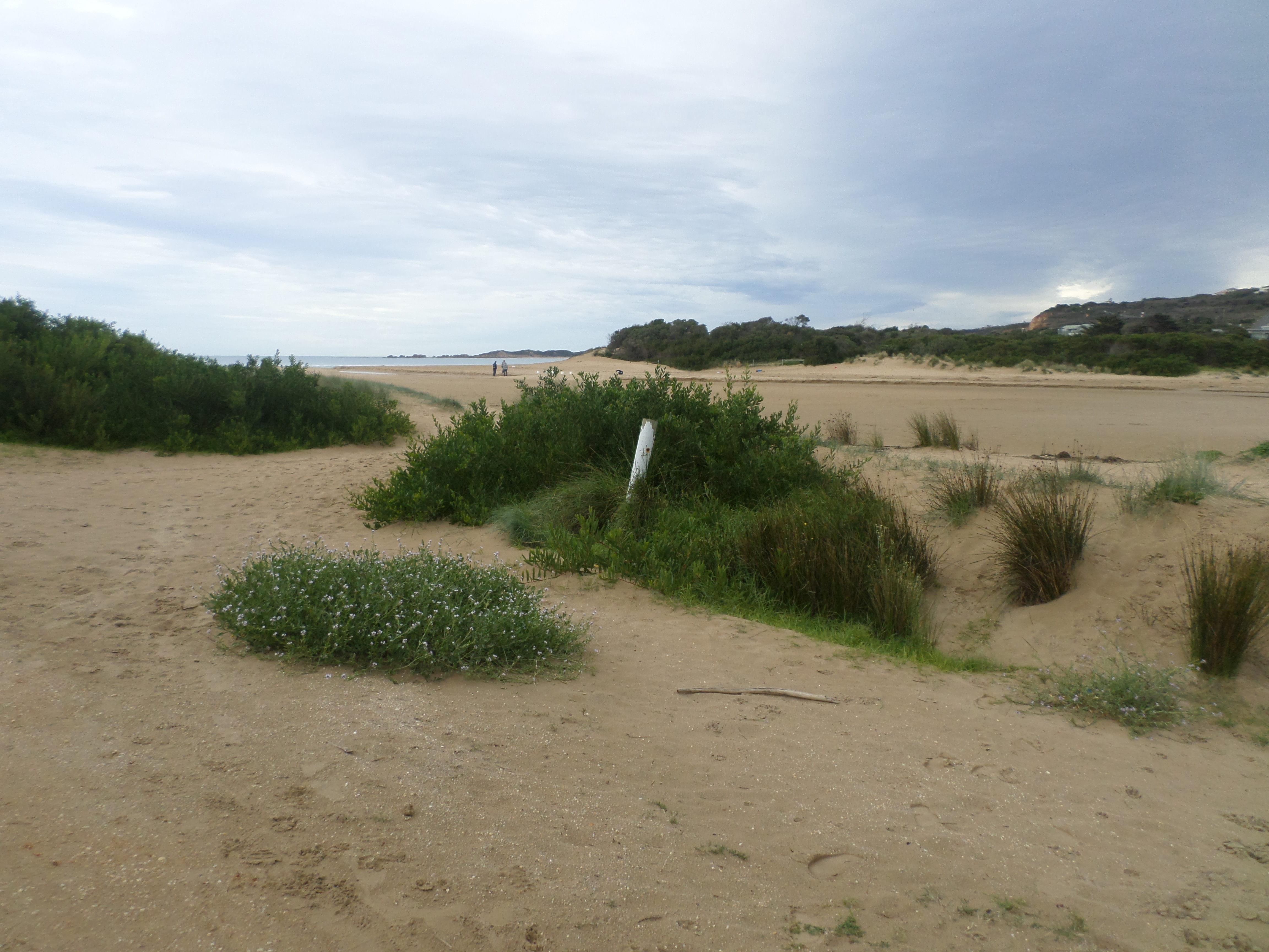
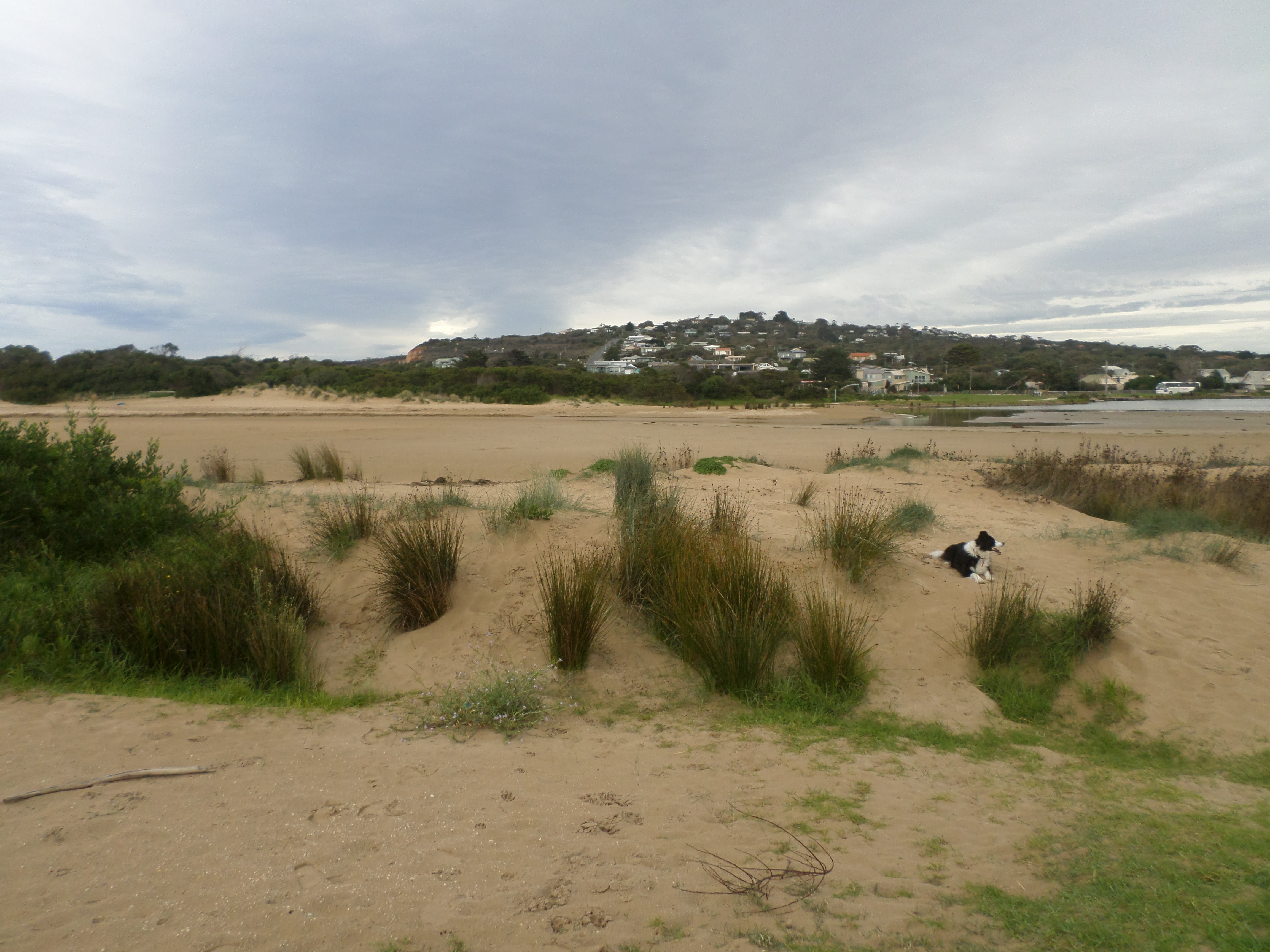
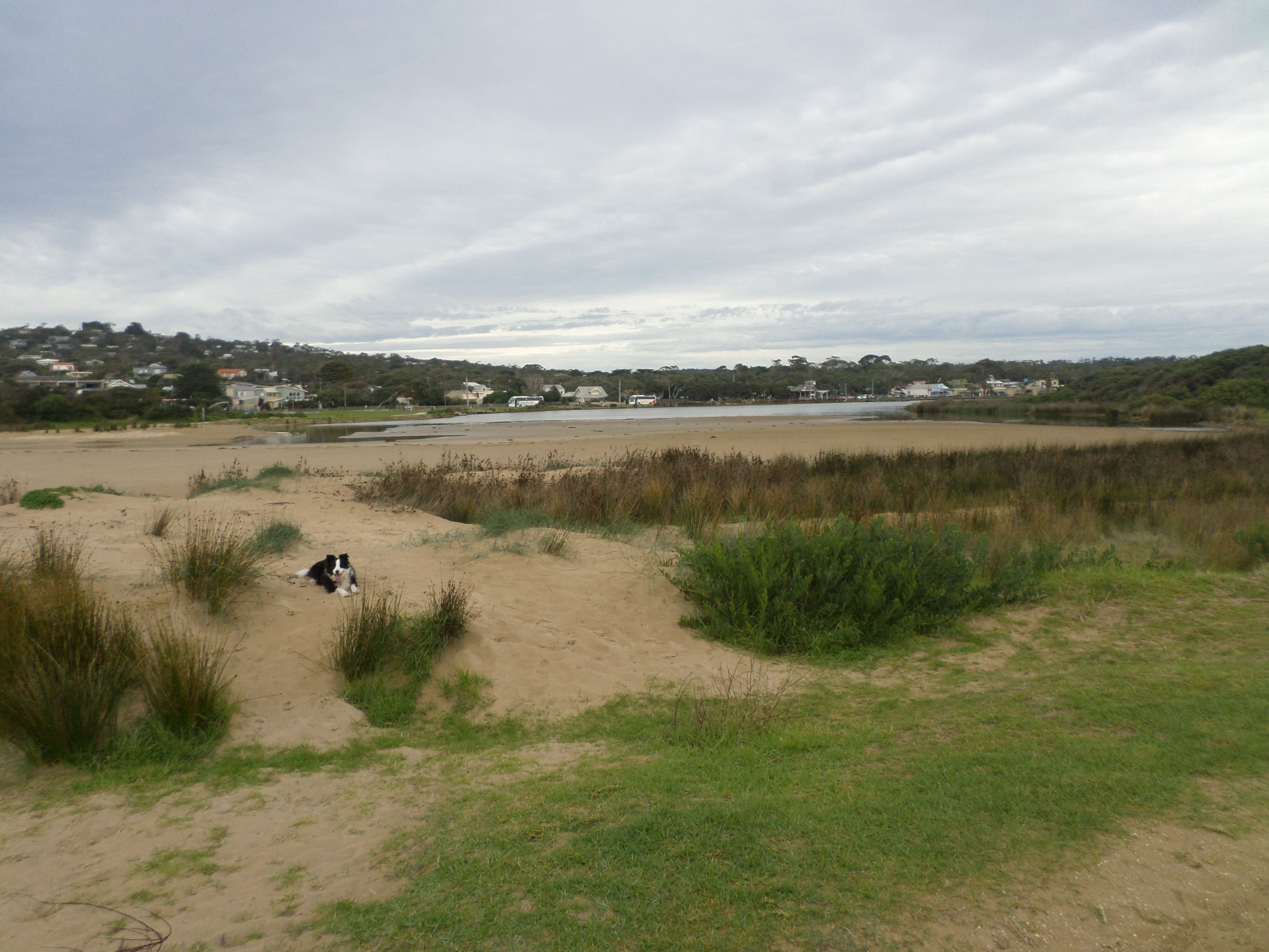
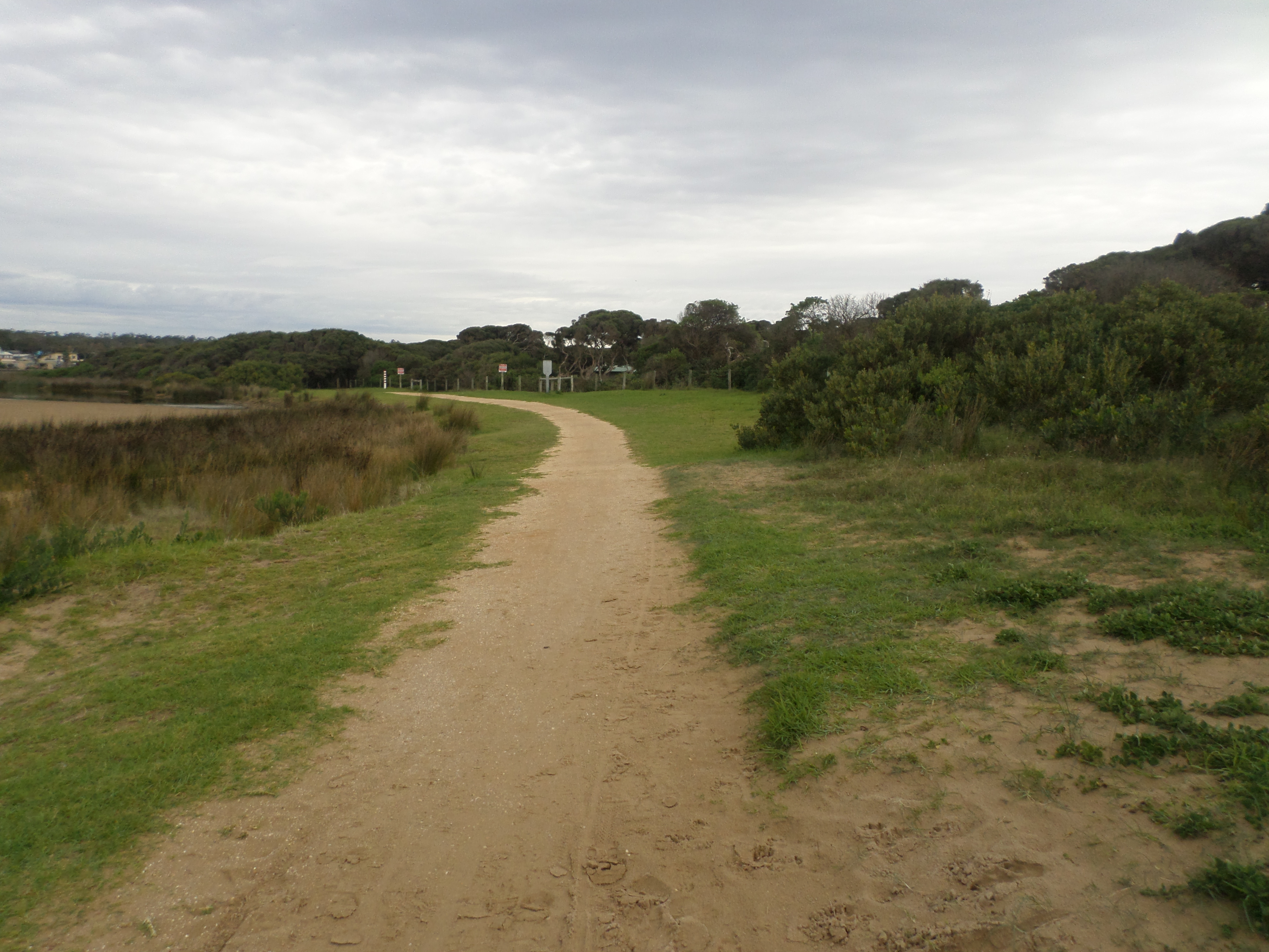
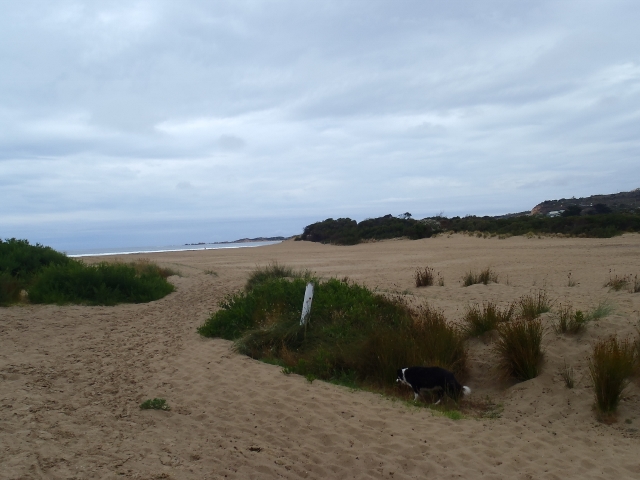
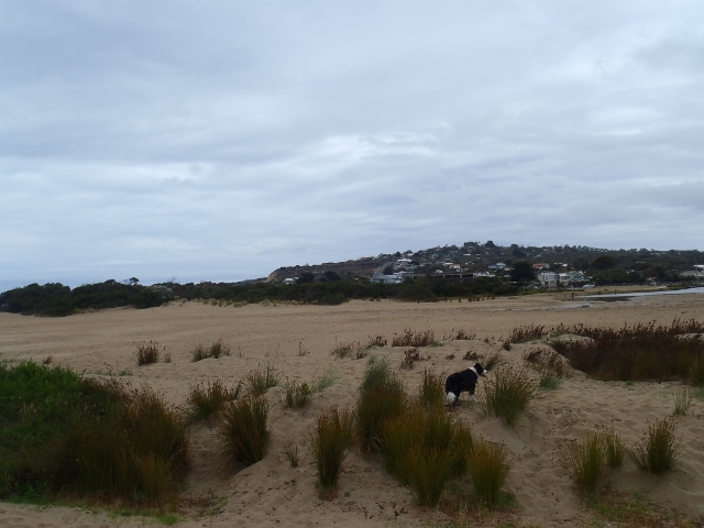
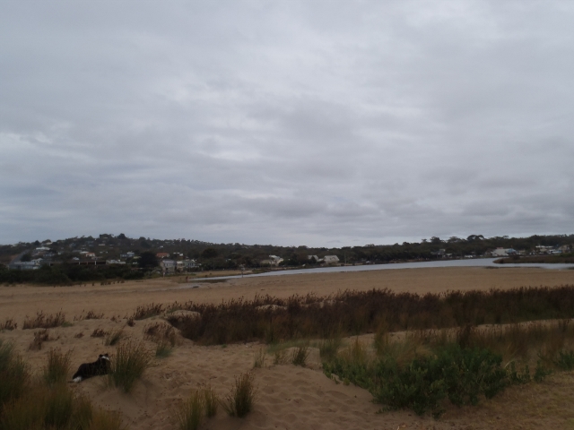
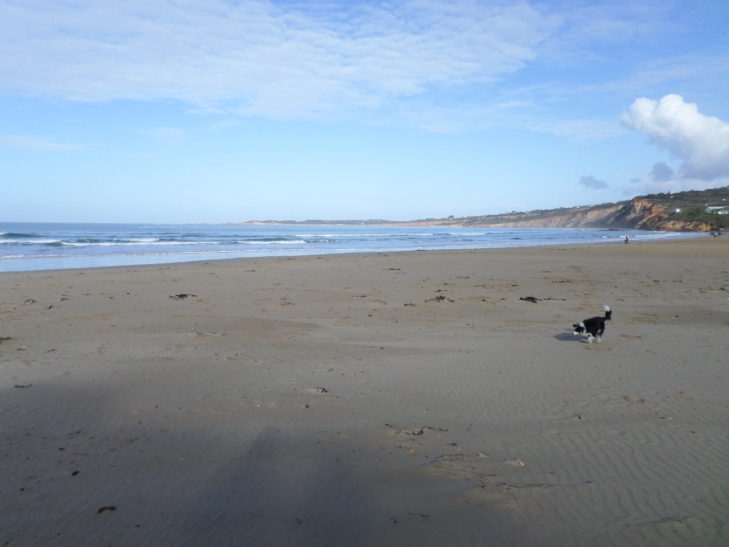
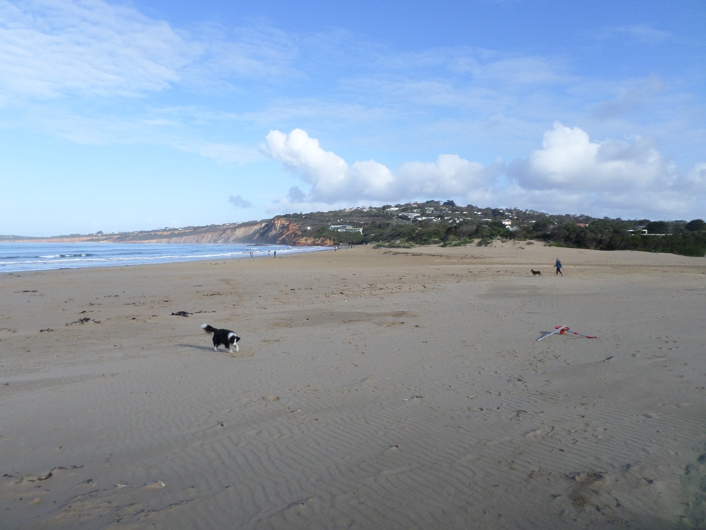
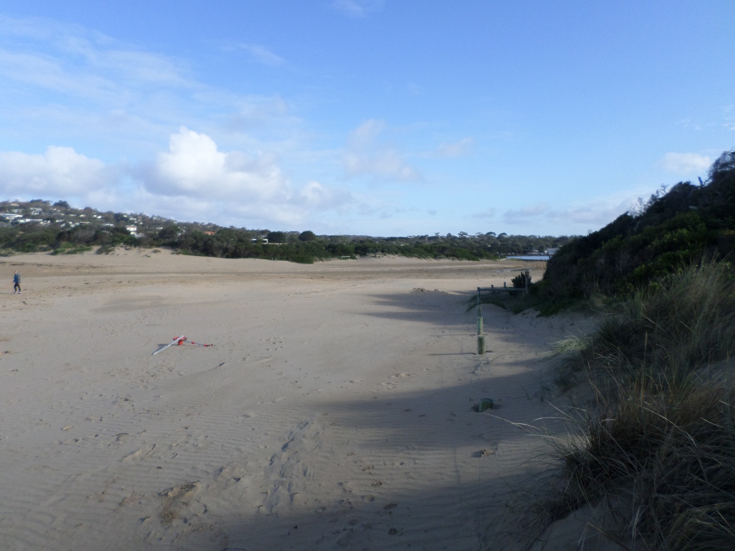
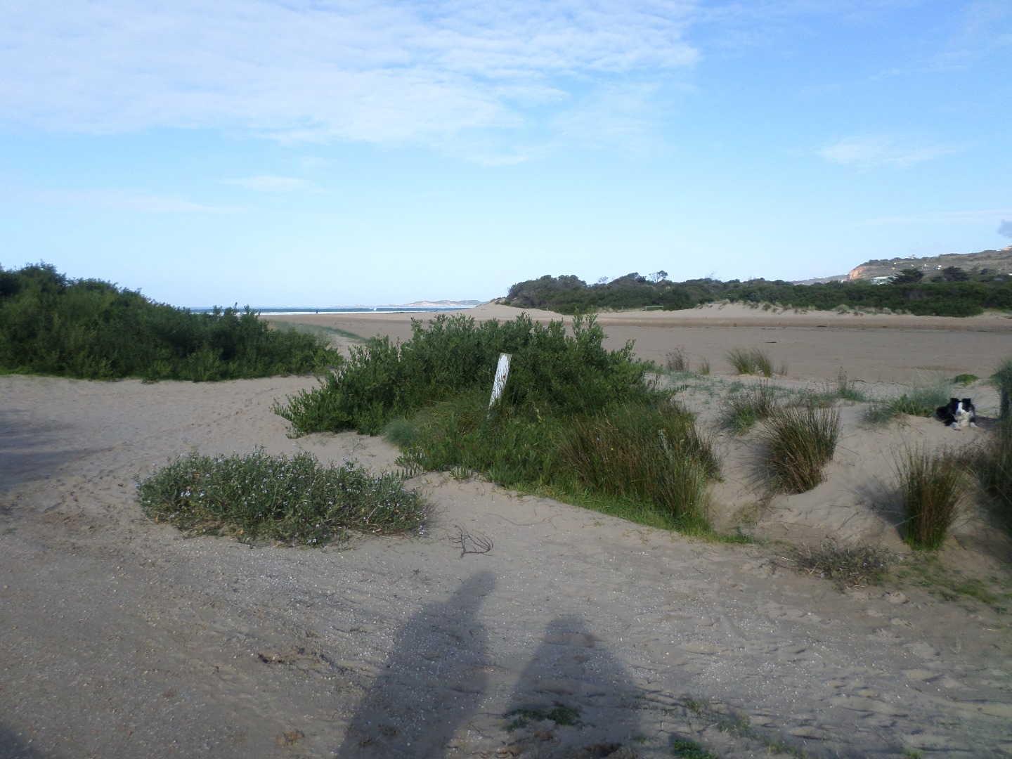
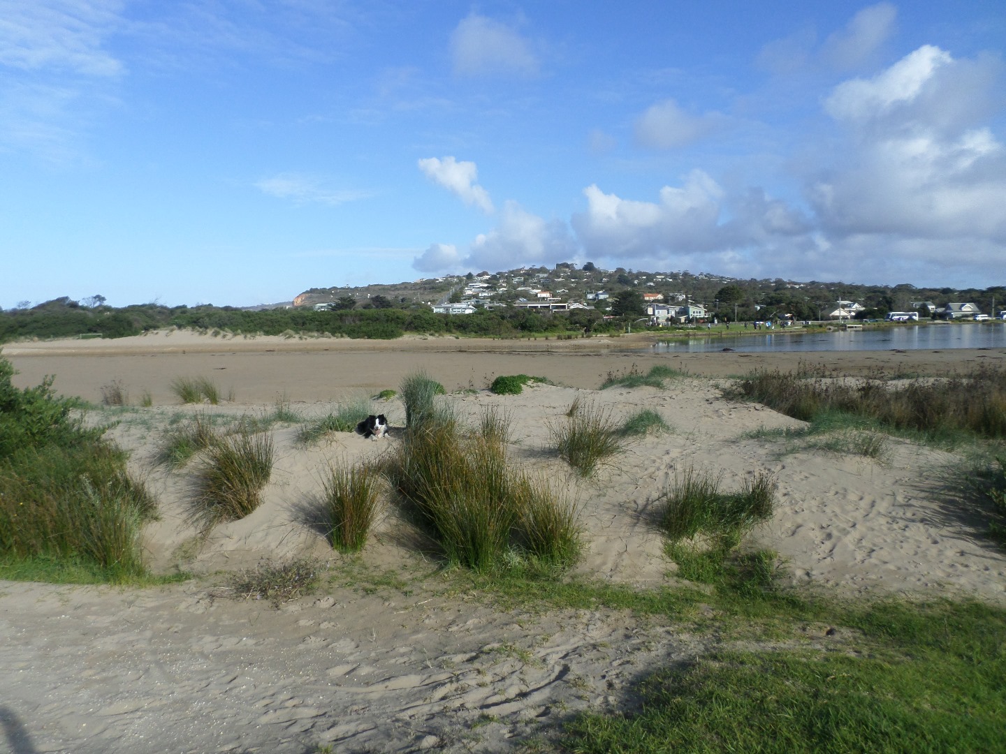
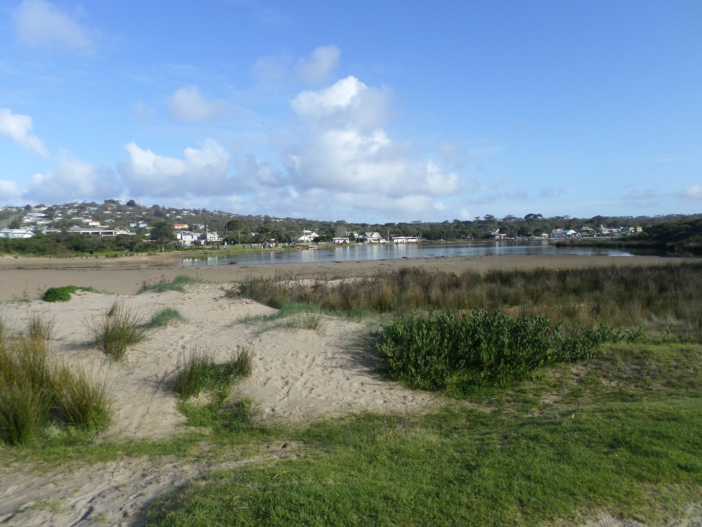
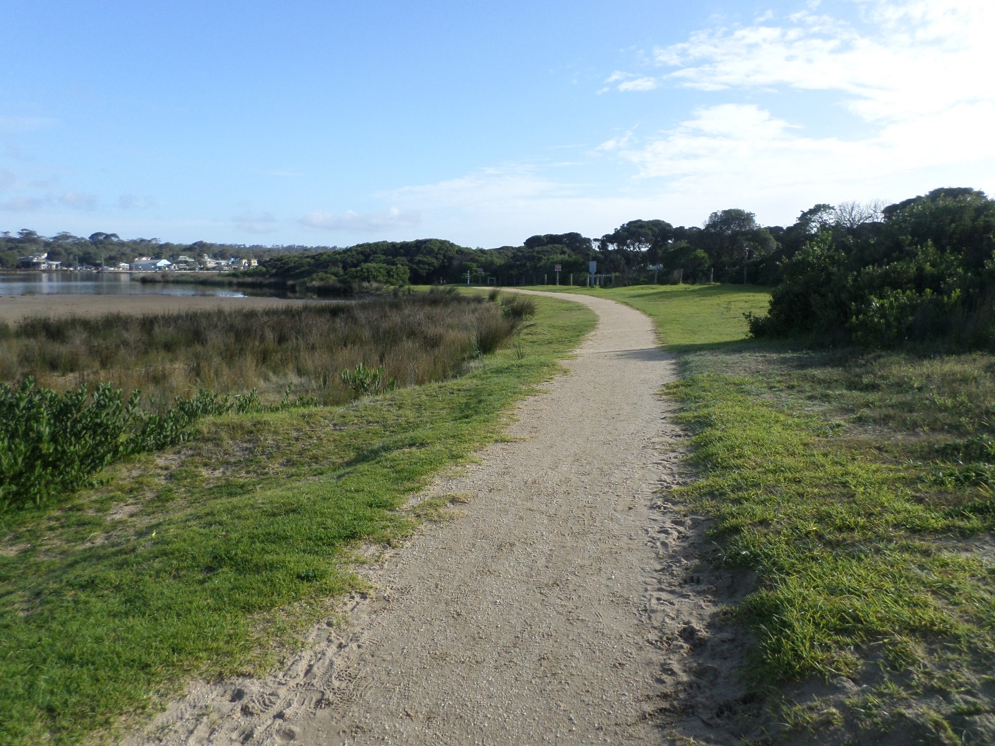
AMC Anglesea River Estuary Mouth Observation Site
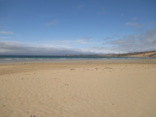
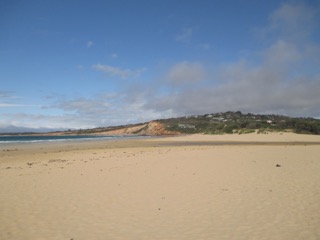
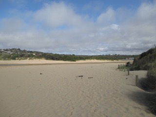
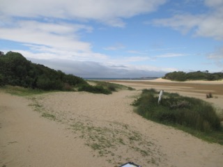
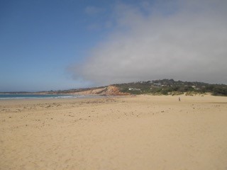
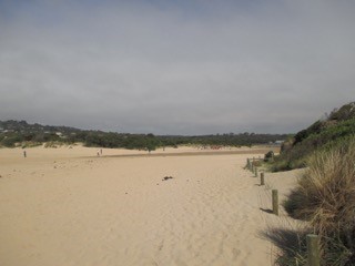
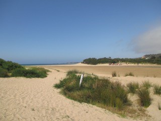
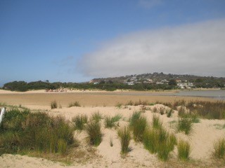
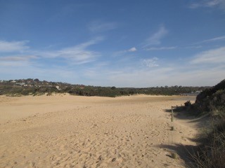
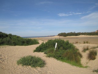
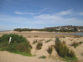
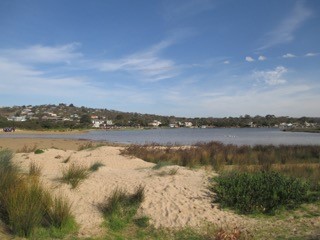
Active Mouth Condition 17-04-2007 - 17-04-2024Anglesea River Estuary
241 results found (Displaying 141 - 150)
| ID | Date | Status | Details | |
|---|---|---|---|---|
| #9952 | 18 Nov 2015 | Approved | ||
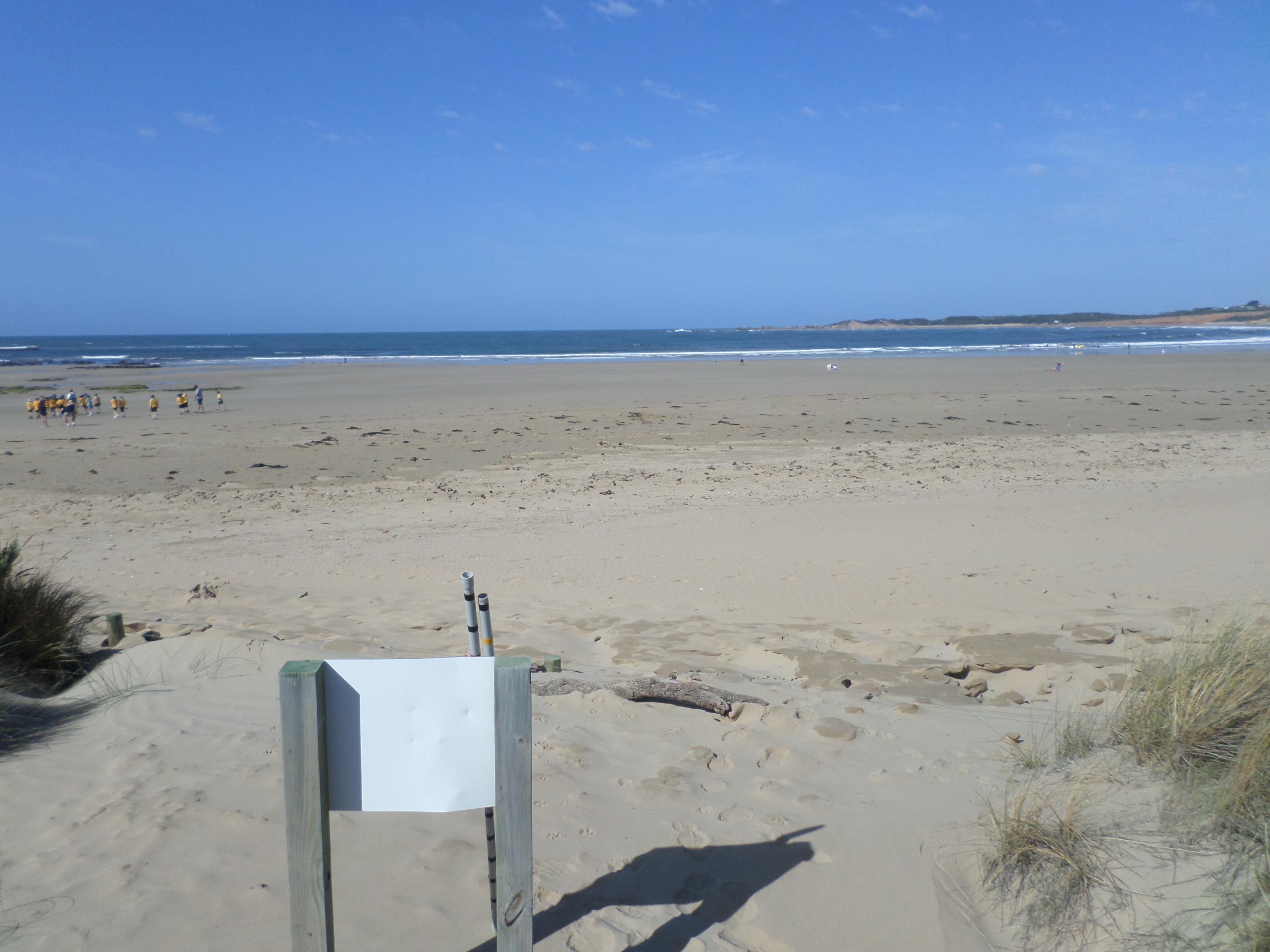
| #10019 | 16 Dec 2015 | Approved | Notes: Distance from river to sea 145 meters. | |
| #10085 | 20 Jan 2016 | Approved | Notes: Water level Indicator on Anglesea Bridge is badly fouled up-difficult to read. Berm length was 192m. | |
| #10177 | 17 Feb 2016 | Approved | Notes: 73 metre long sand berm. Sea overtopping the berm on last high tide. | |
| #10179 | 18 Feb 2016 | Approved | Notes: Surf Coast Green Army took these readings as part of a half day EstuaryWatch workshop. Berm length was 149.4m. | |
| #10267 | 16 Mar 2016 | Approved |
Notes:
Berm length 187m. |
|
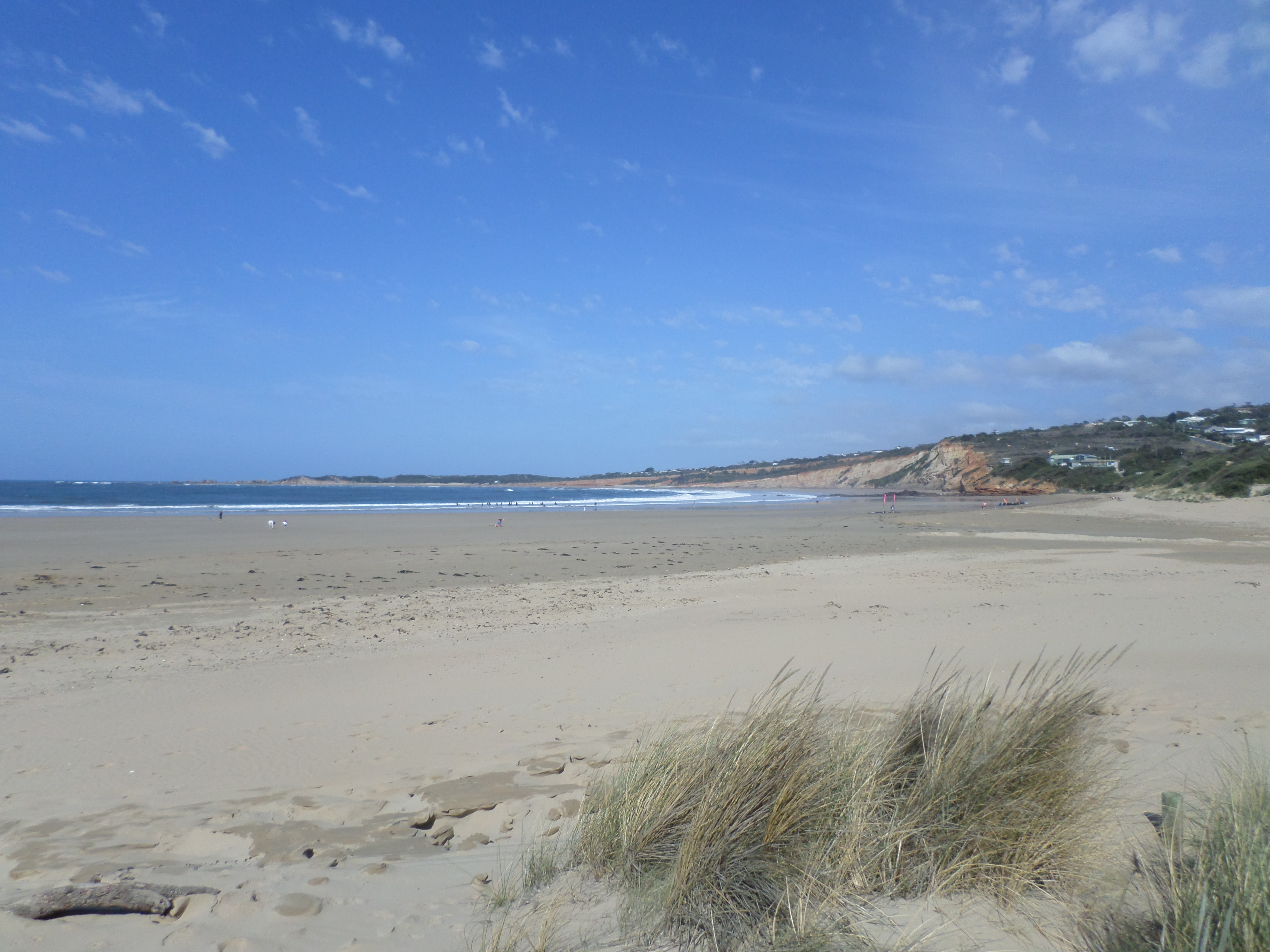
| #10261 | 20 Apr 2016 | Approved | Notes: Berm length 128m | |
| #10334 | 25 May 2016 | Approved | Notes: Berm length was 87.5m. | |
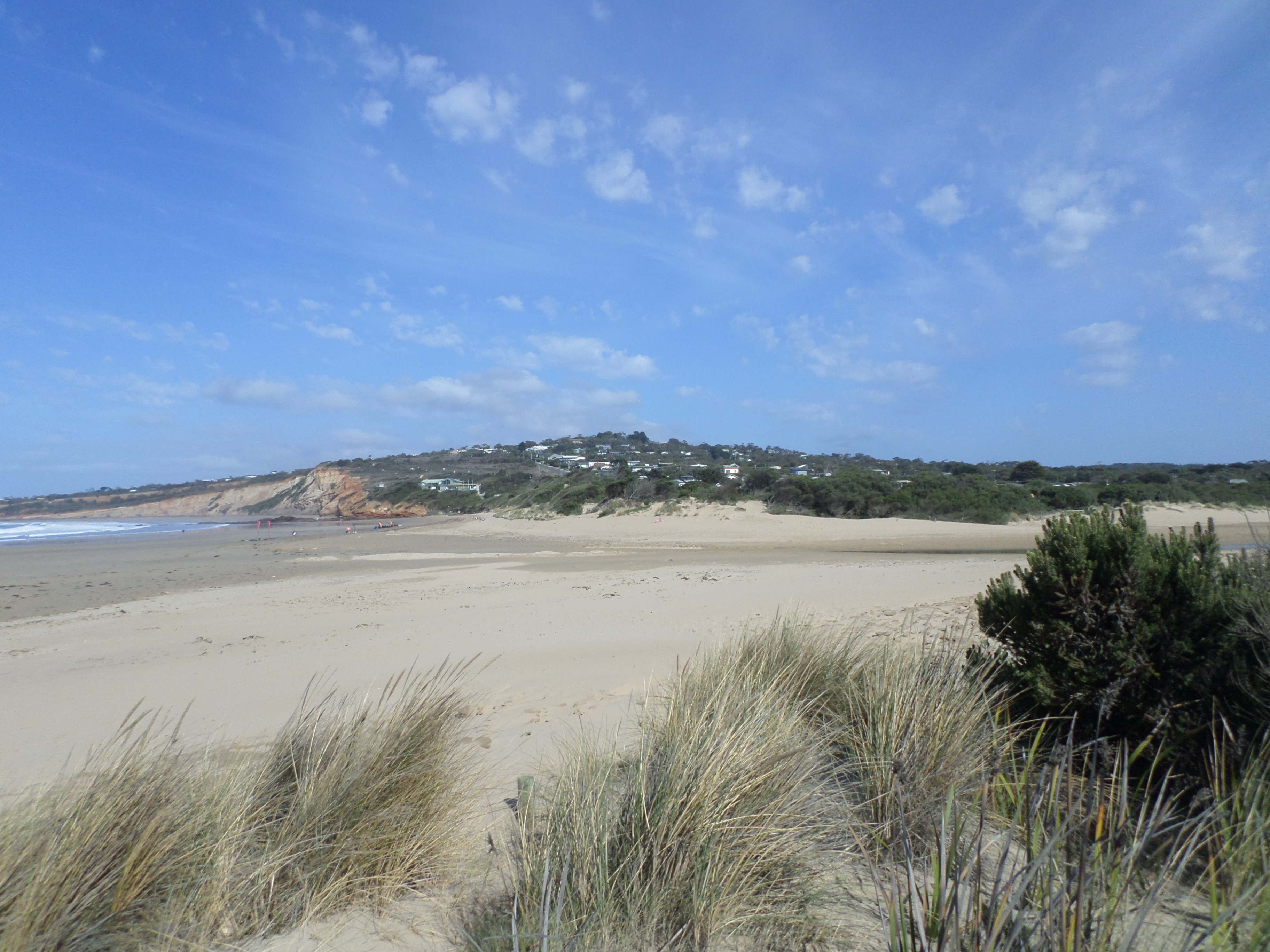
| #10387 | 15 Jun 2016 | Approved | Notes: Assisted by Laura. Berm was 115.7m long. | |
| #10464 | 20 Jul 2016 | Approved | ||


All content, files, data and images provided by the EstuaryWatch Data Portal and Gallery are subject to a Creative Commons Attribution License
Content is made available to be used in any way, and should always attribute EstuaryWatch and www.estuarywatch.org.au