EstuaryWatch Data Portal
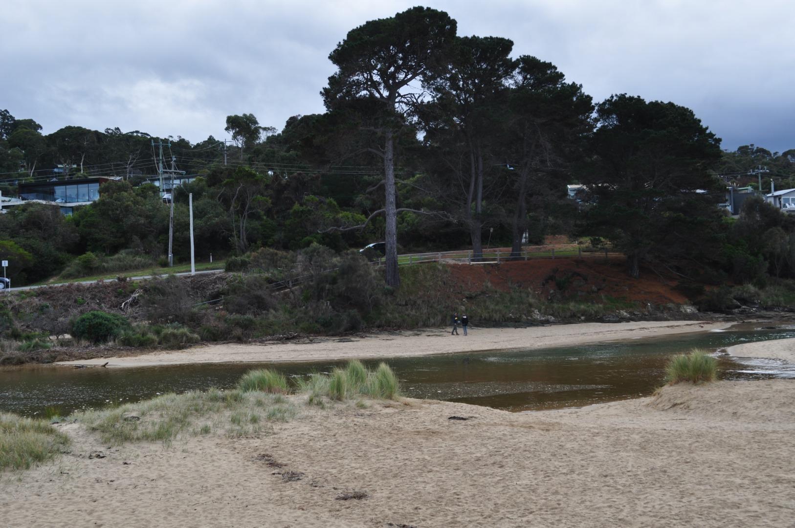
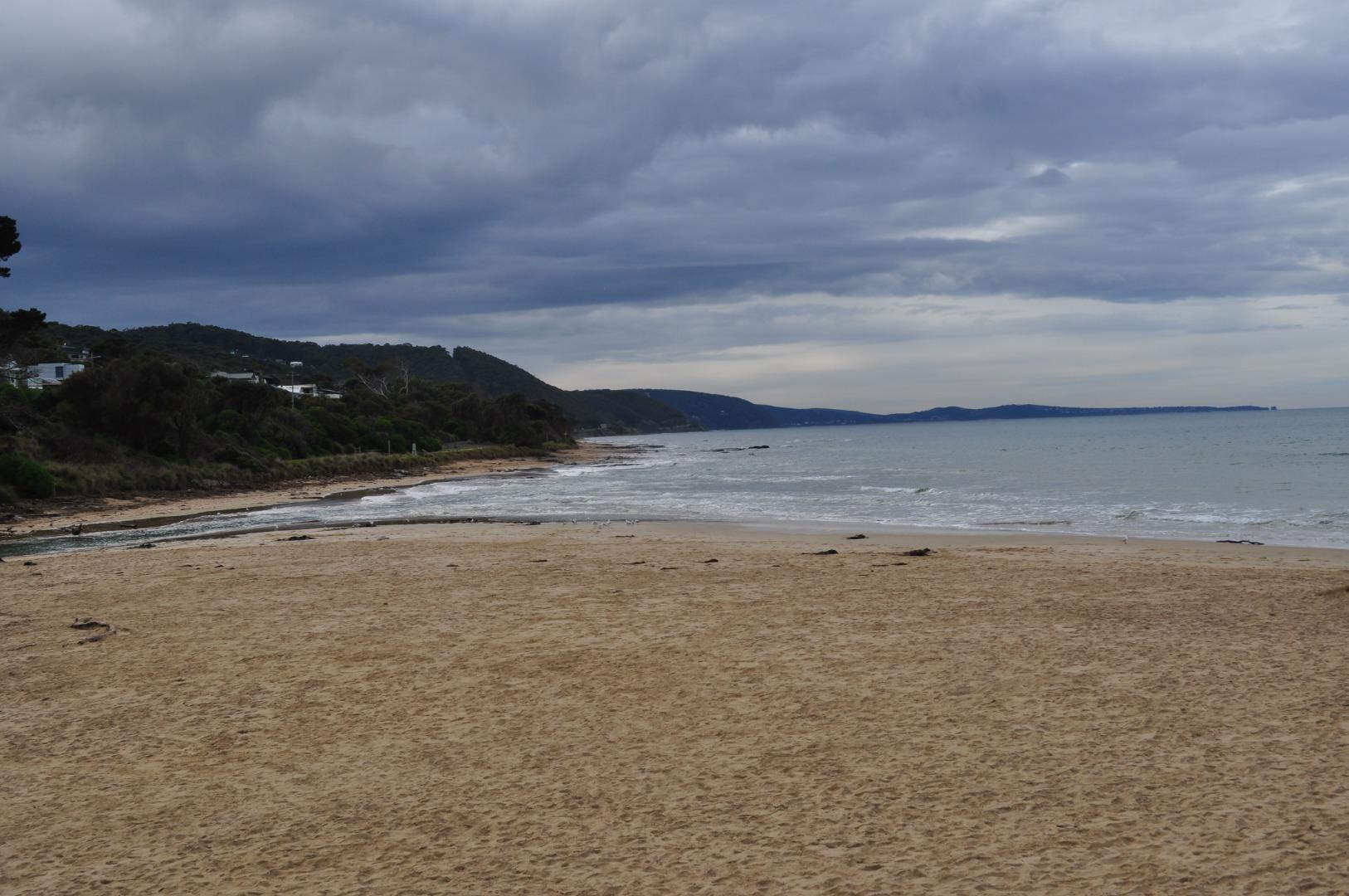
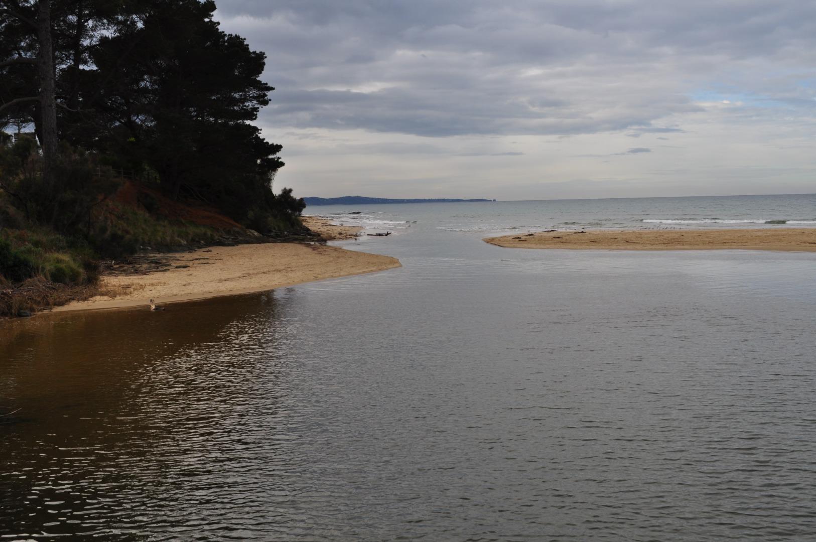
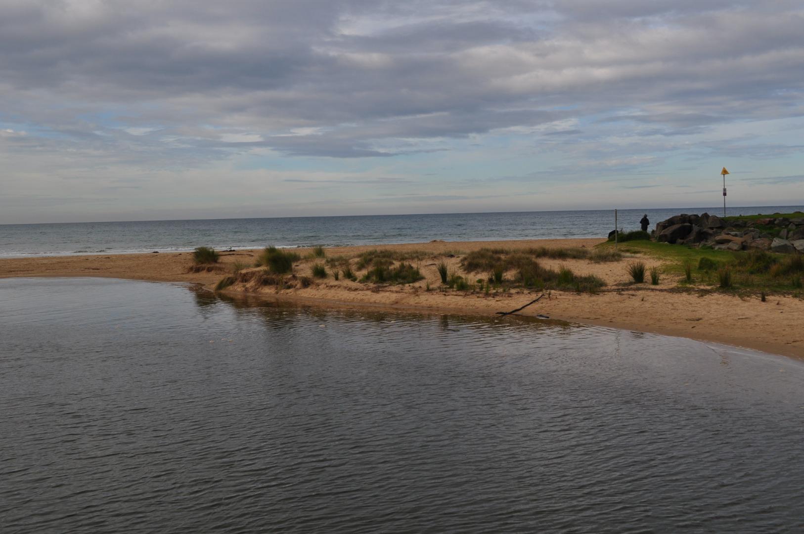
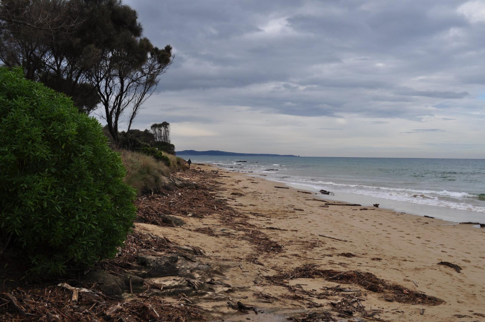
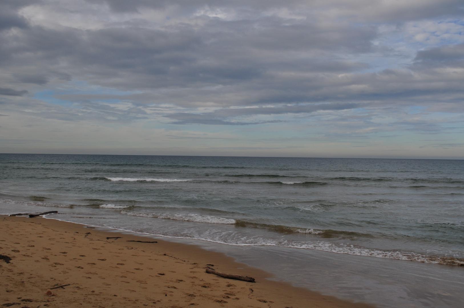
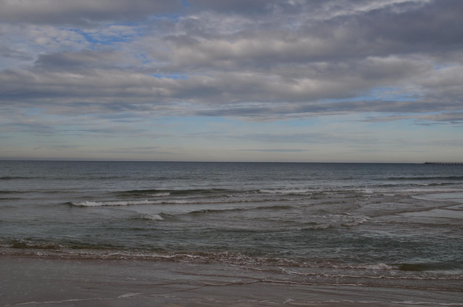
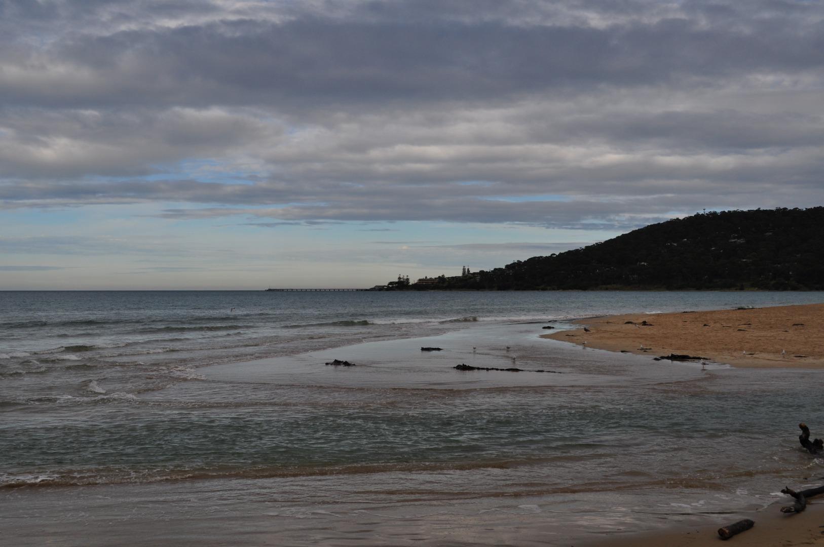
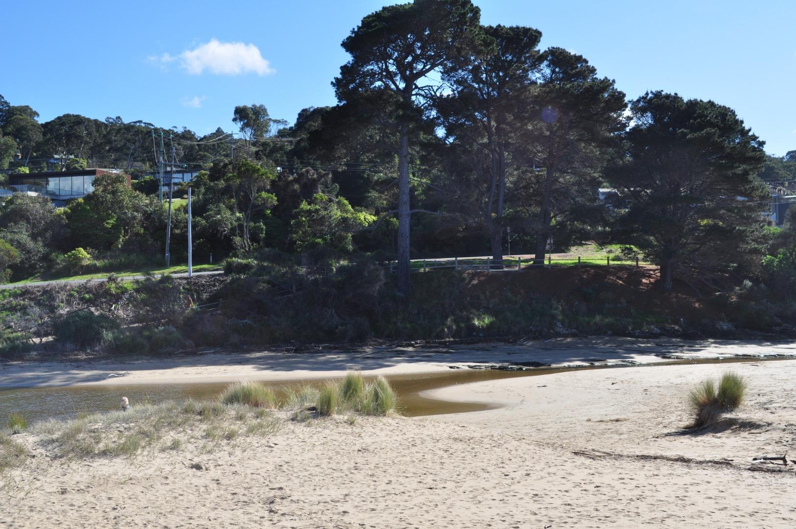
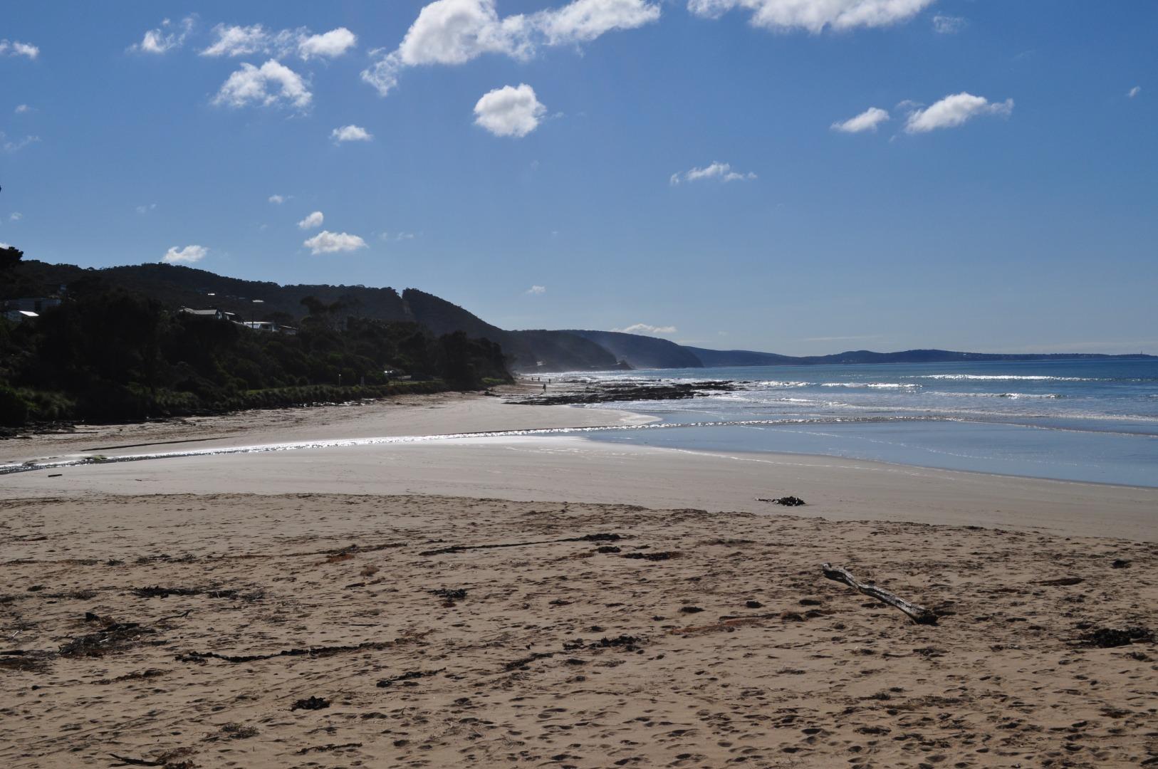
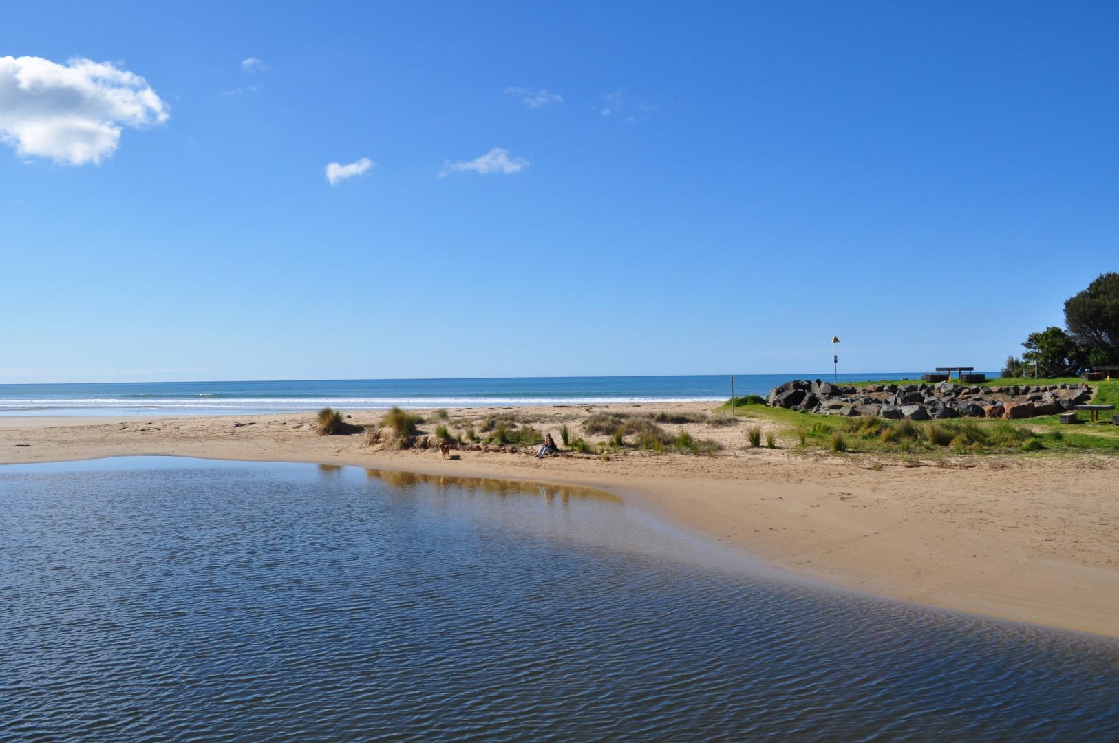
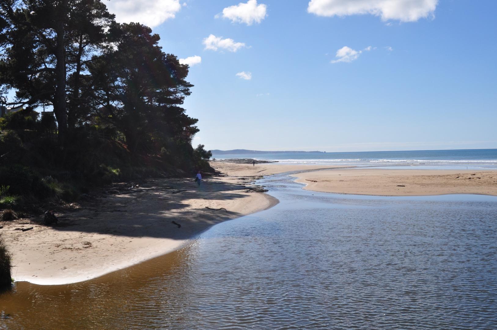
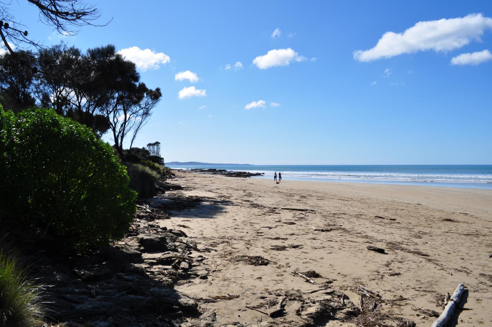
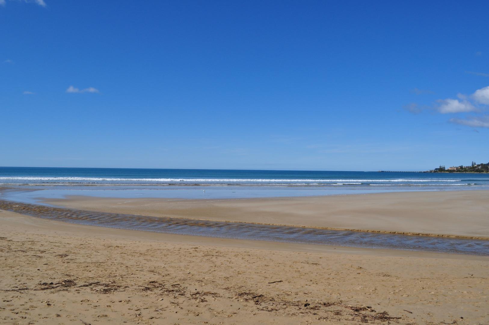
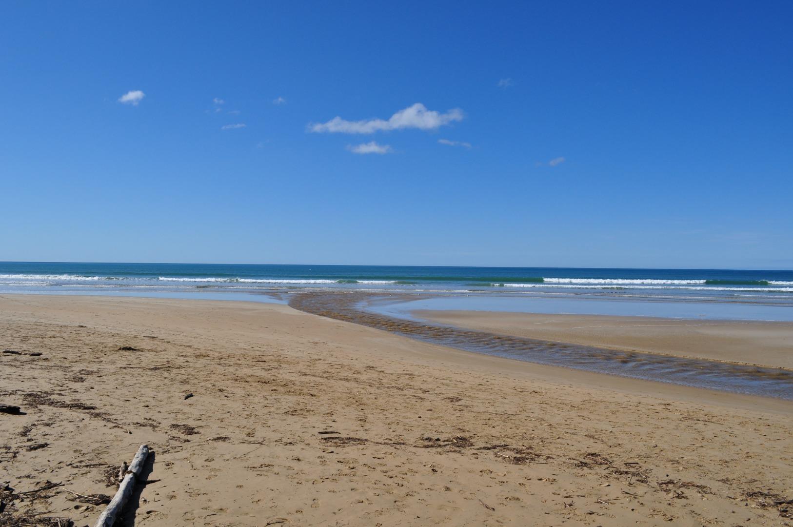
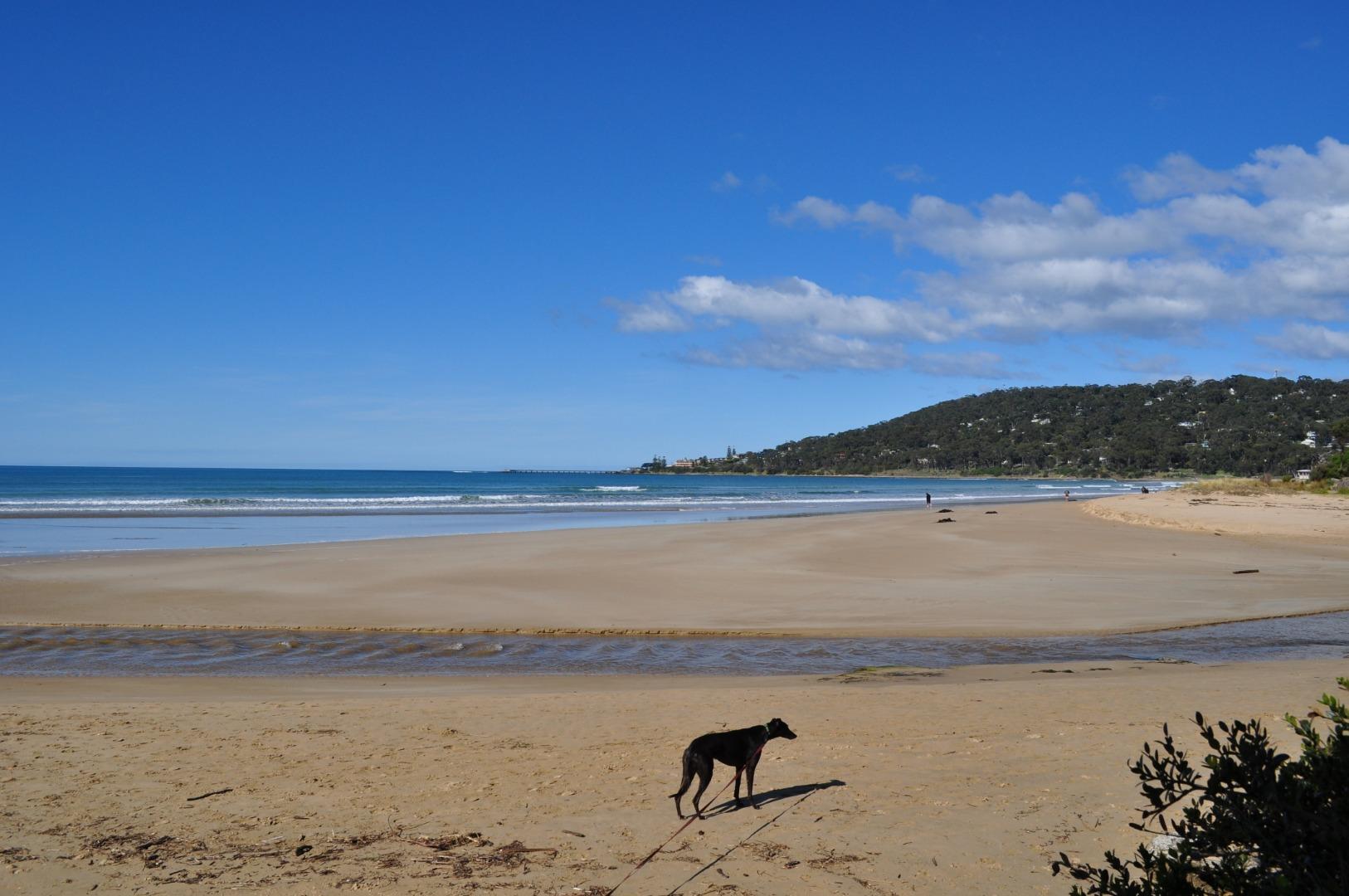
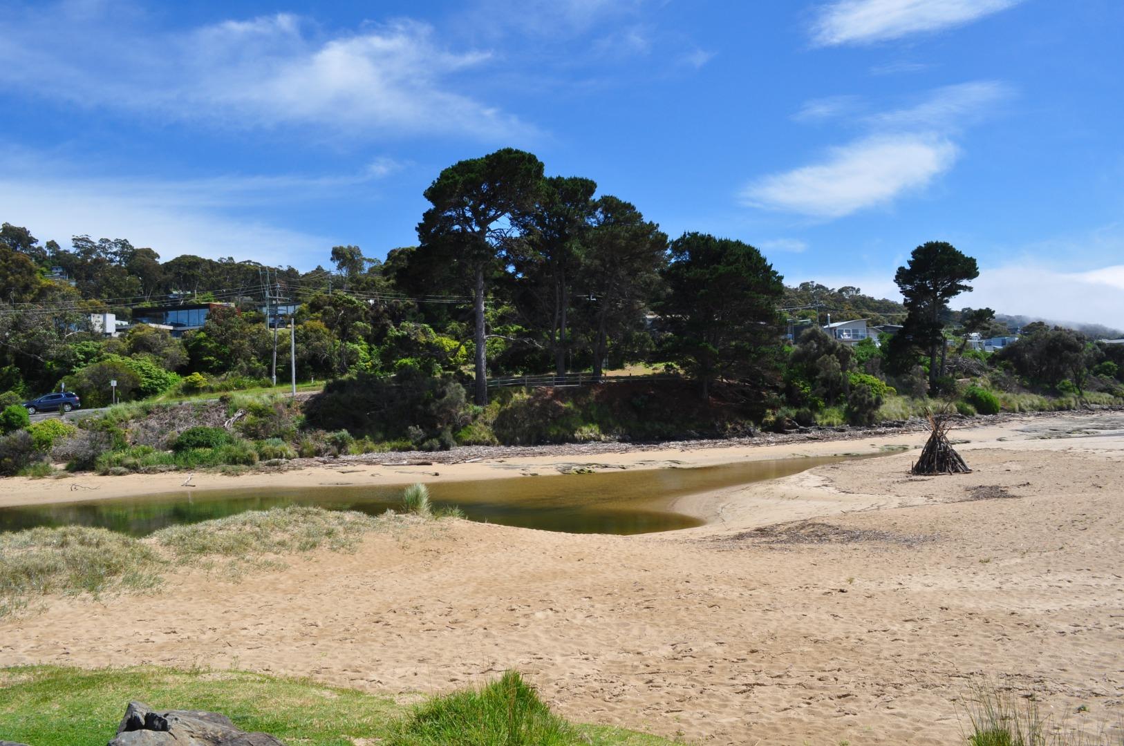
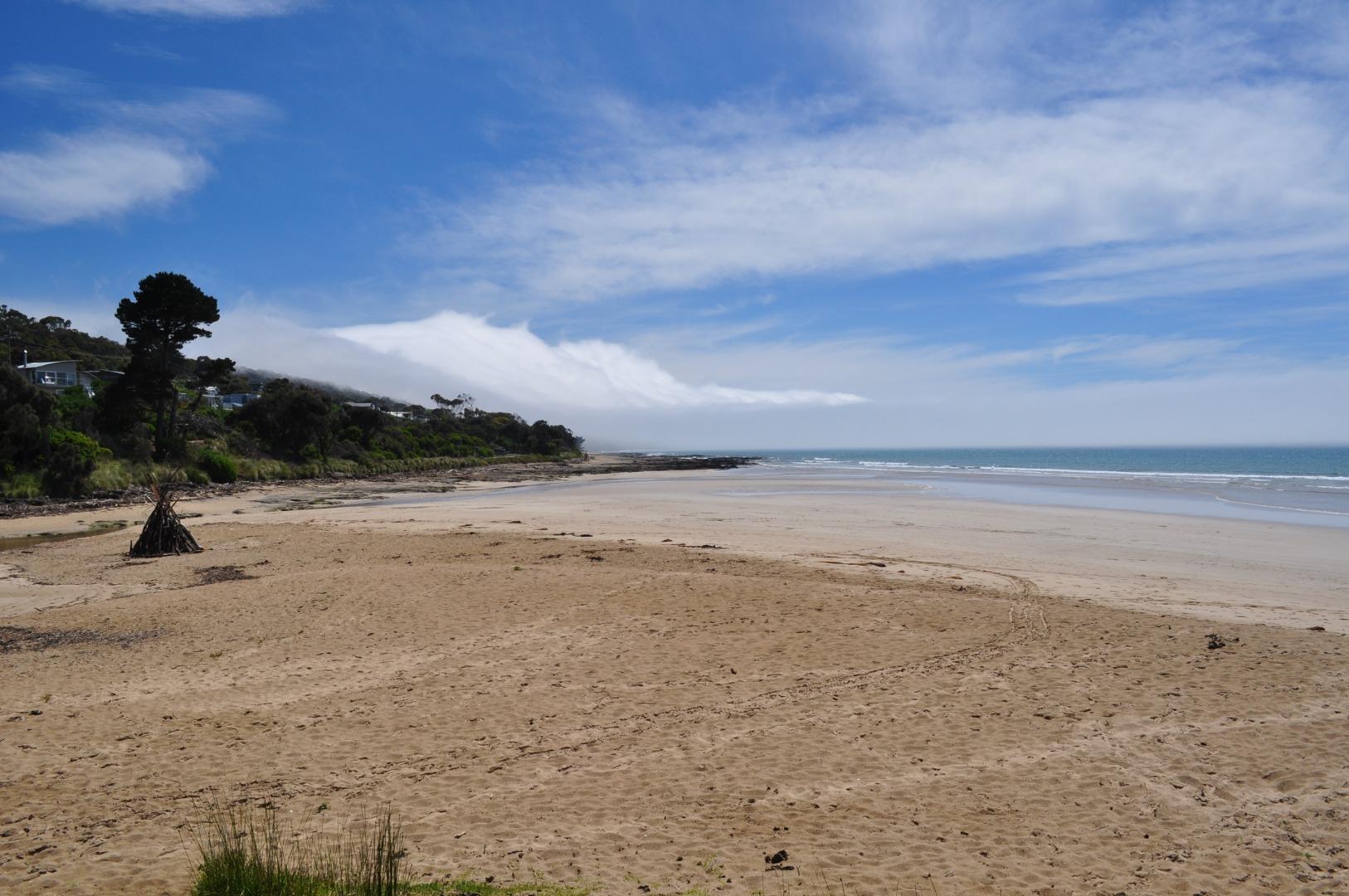
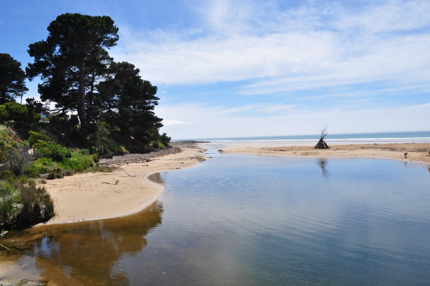
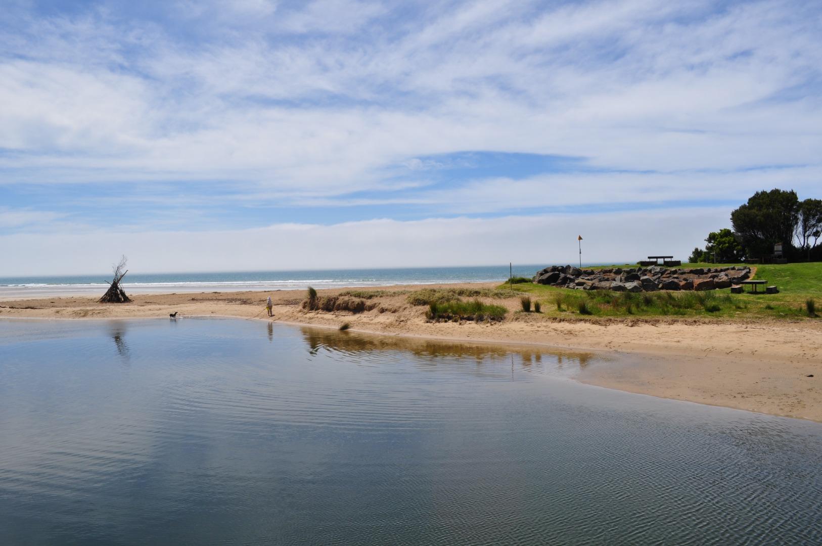
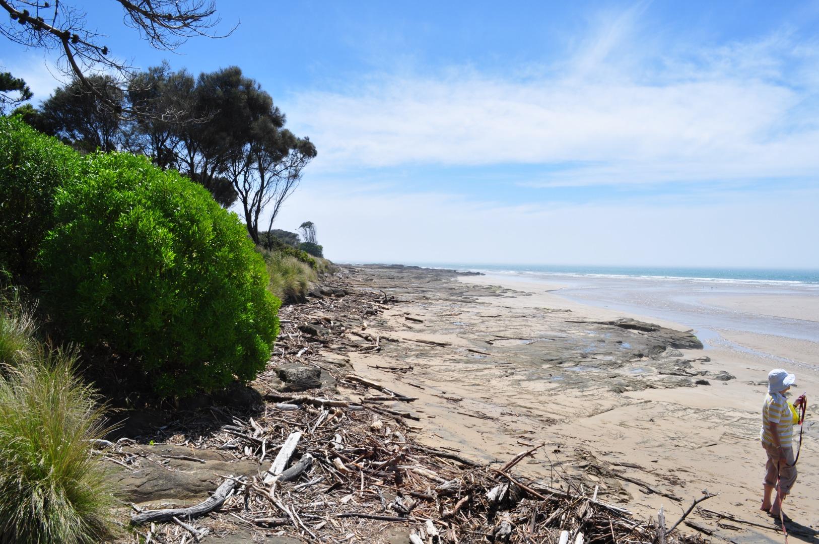
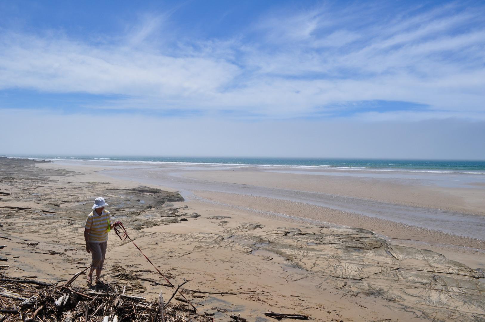
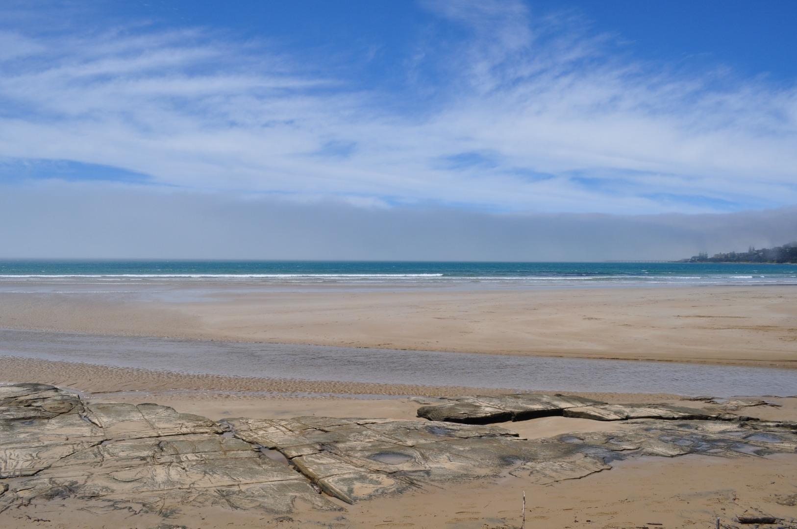
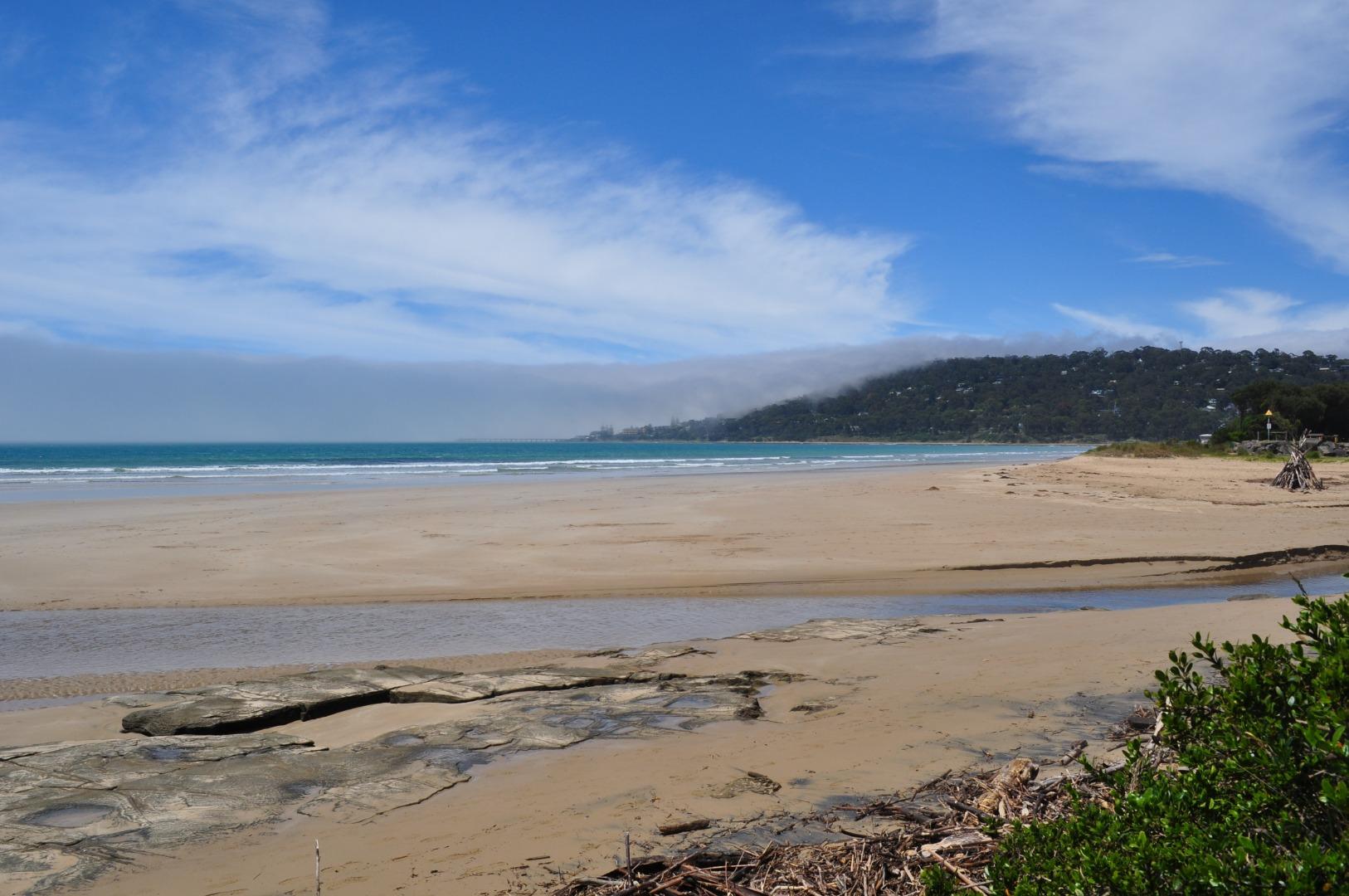
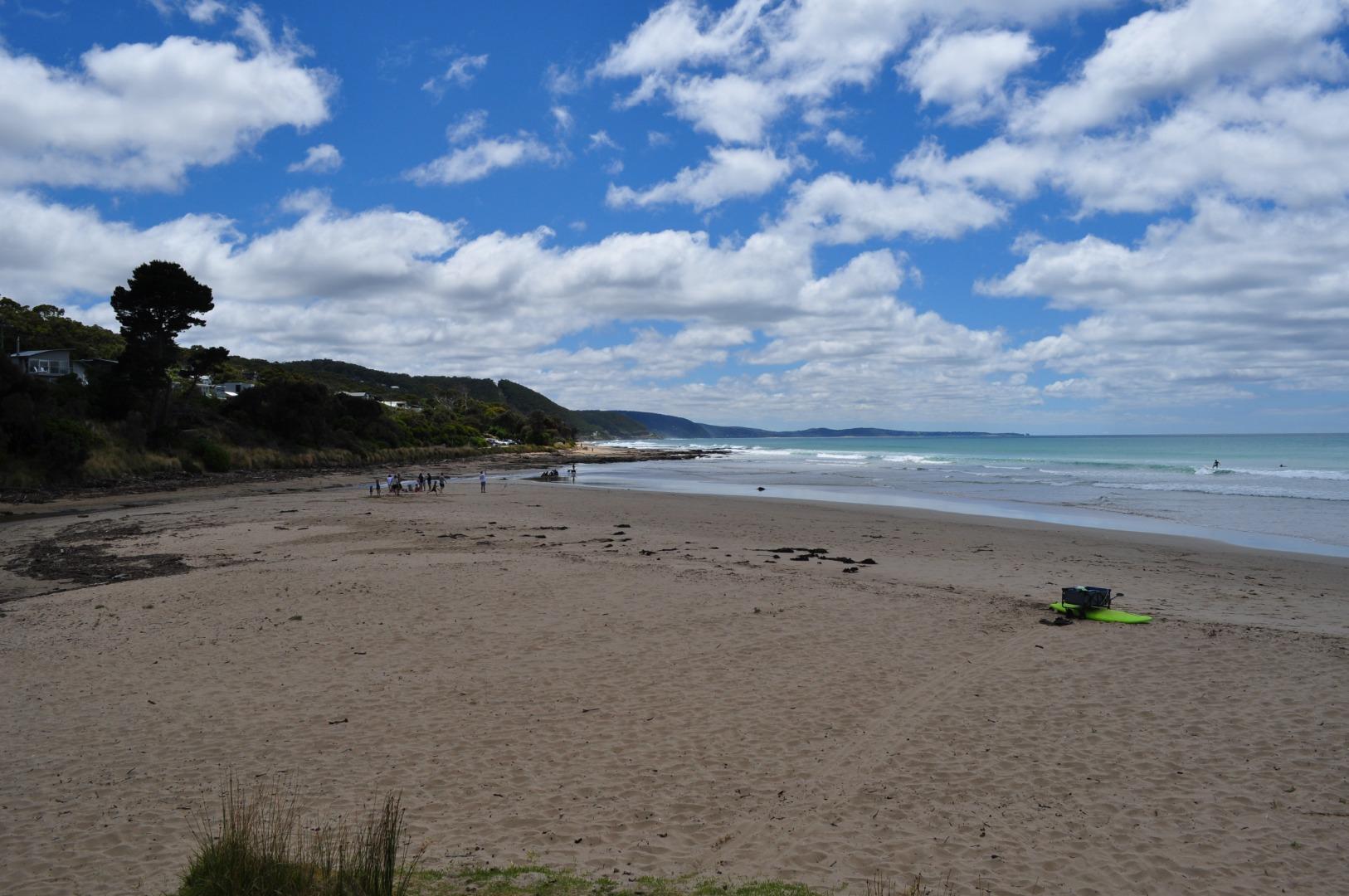
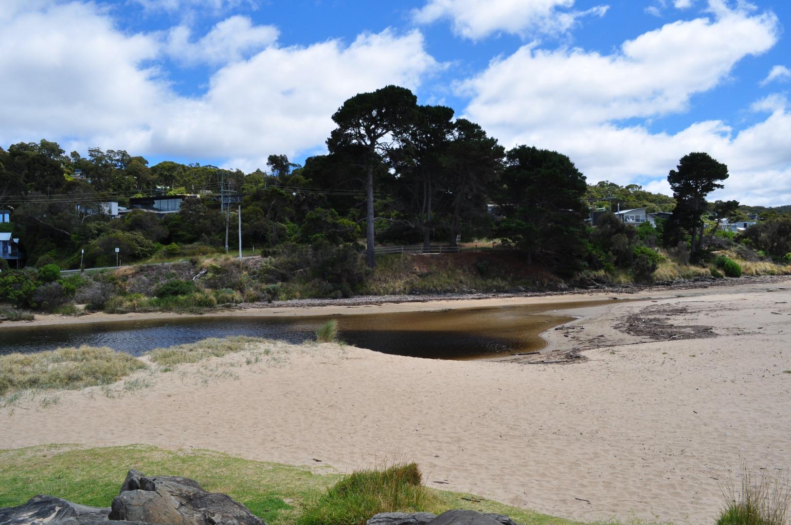
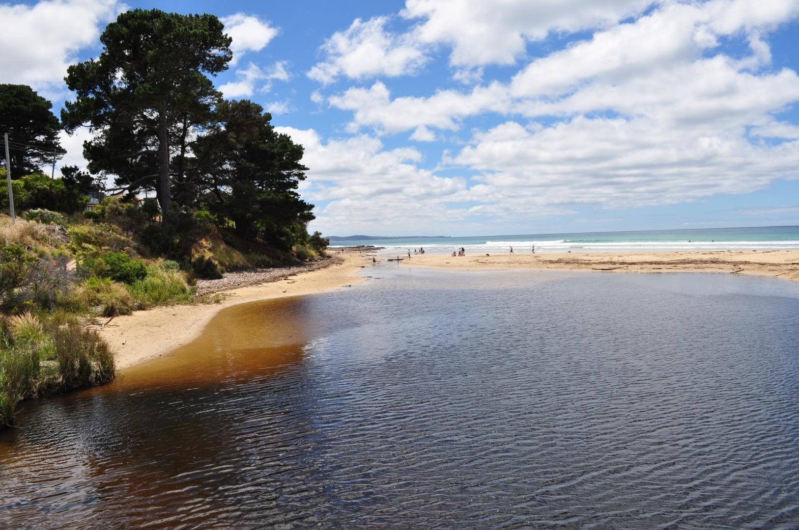
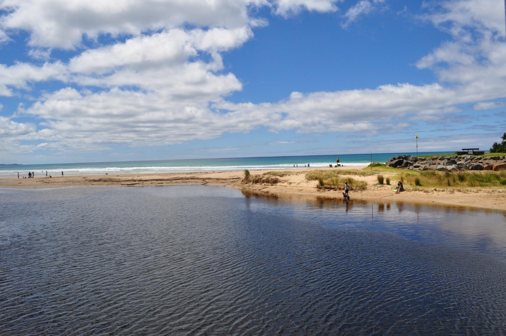
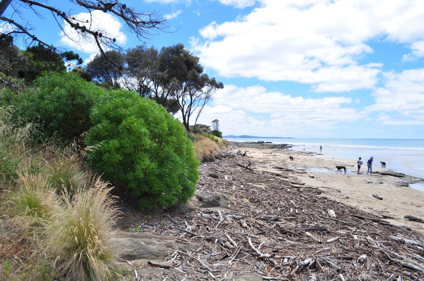
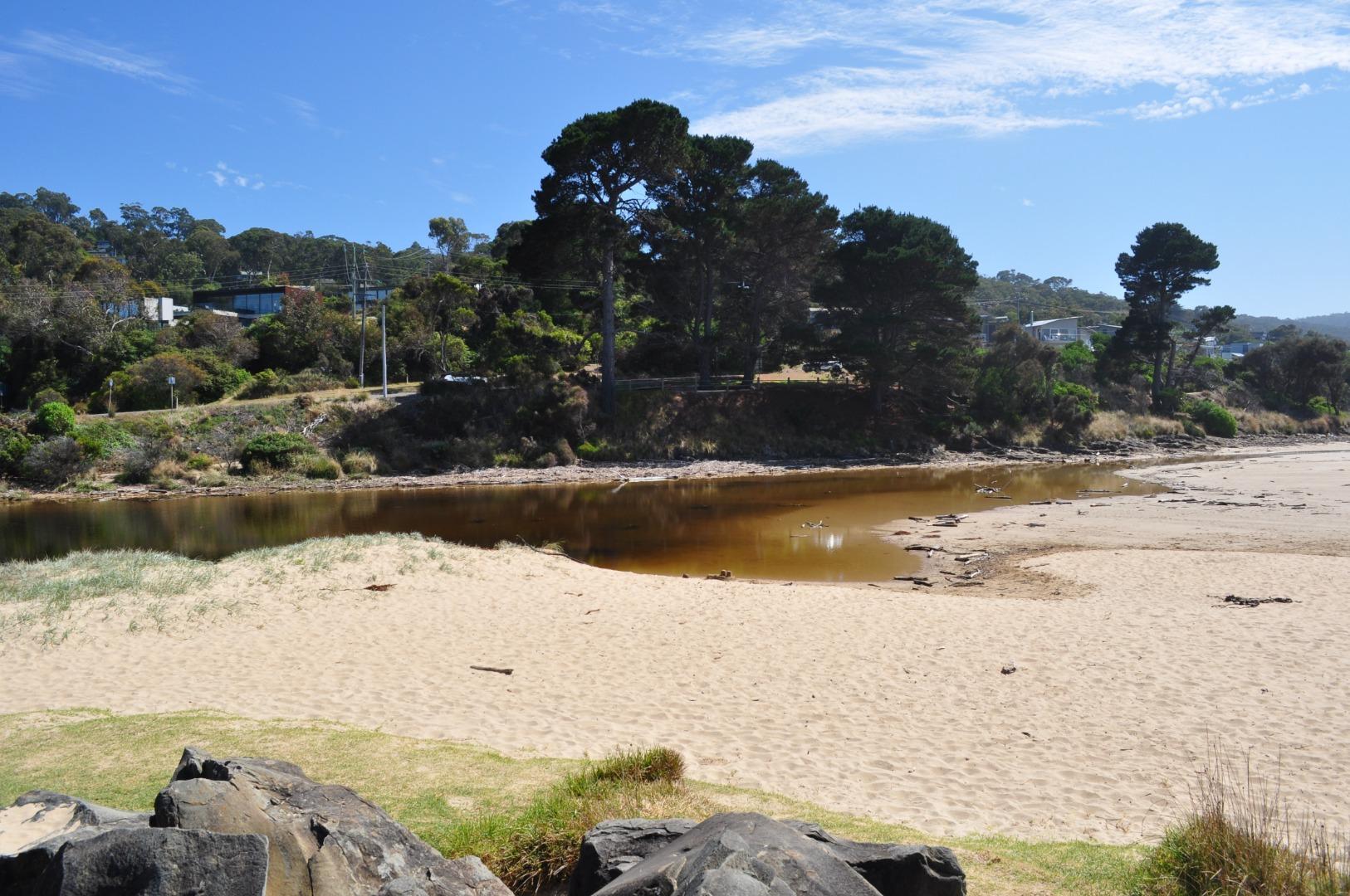
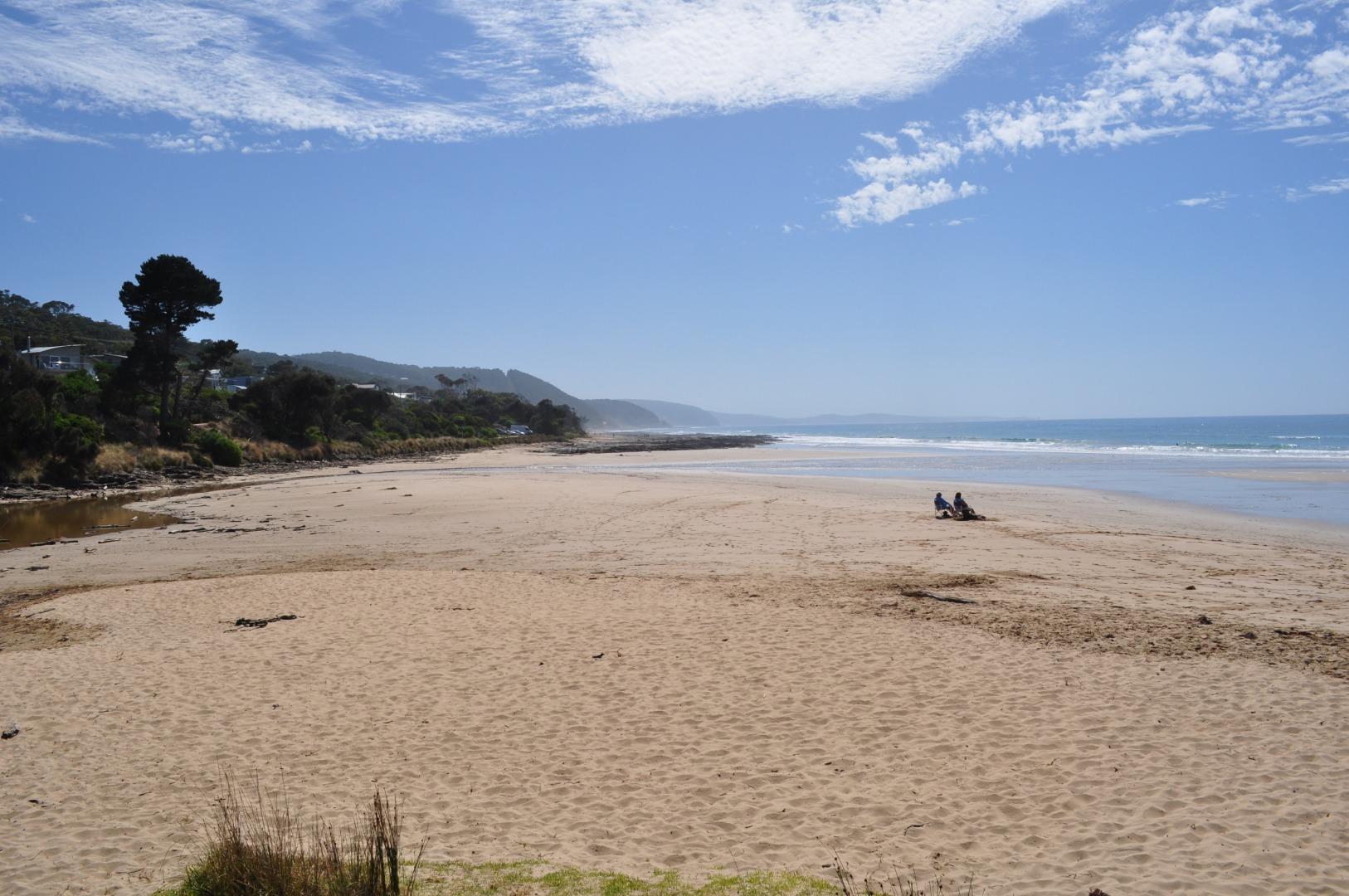
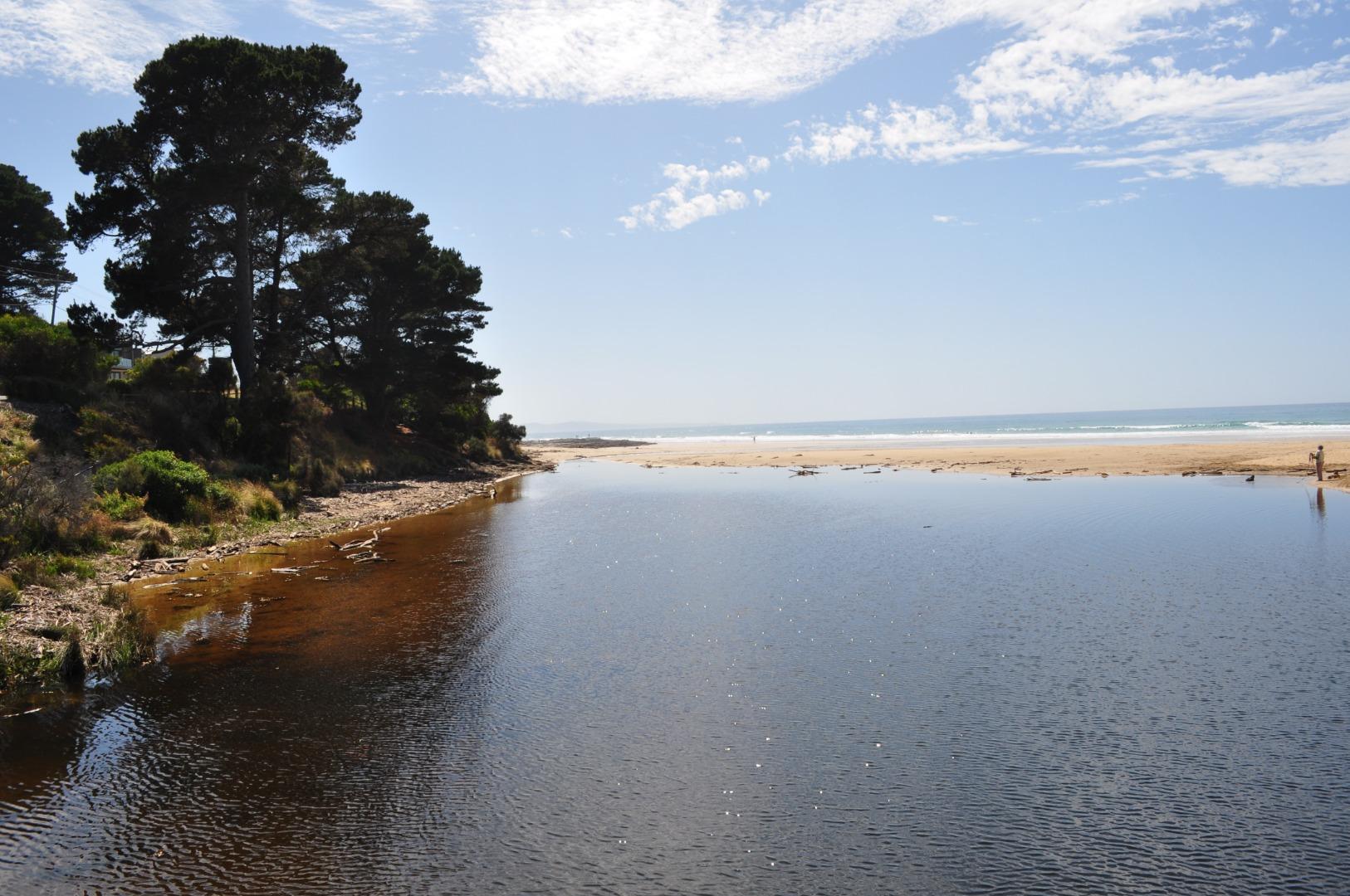
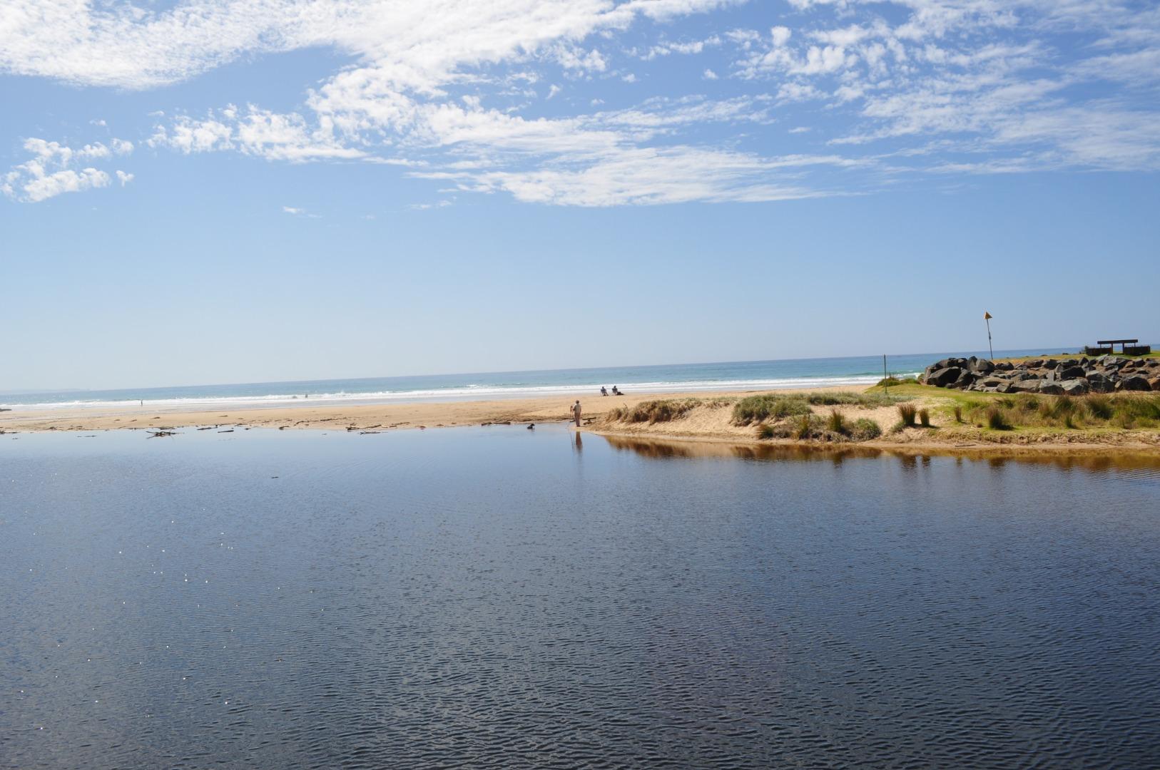
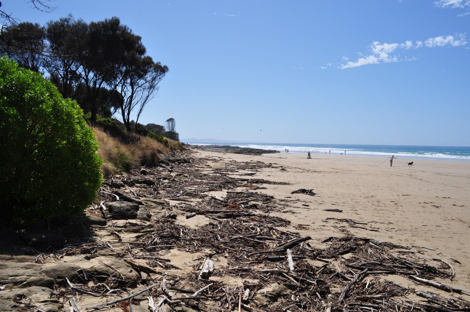
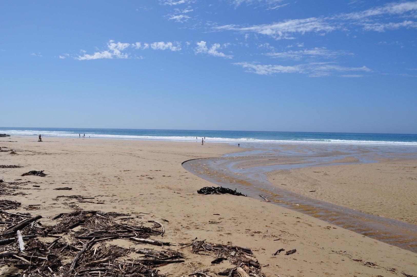
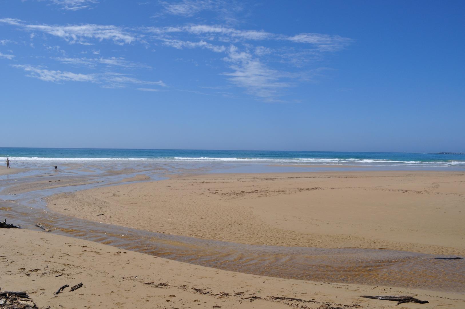
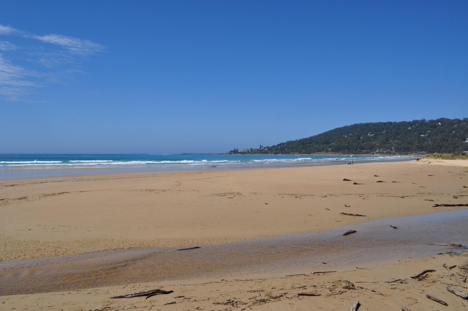
EMC Erskine River Estuary Mouth Observation Site
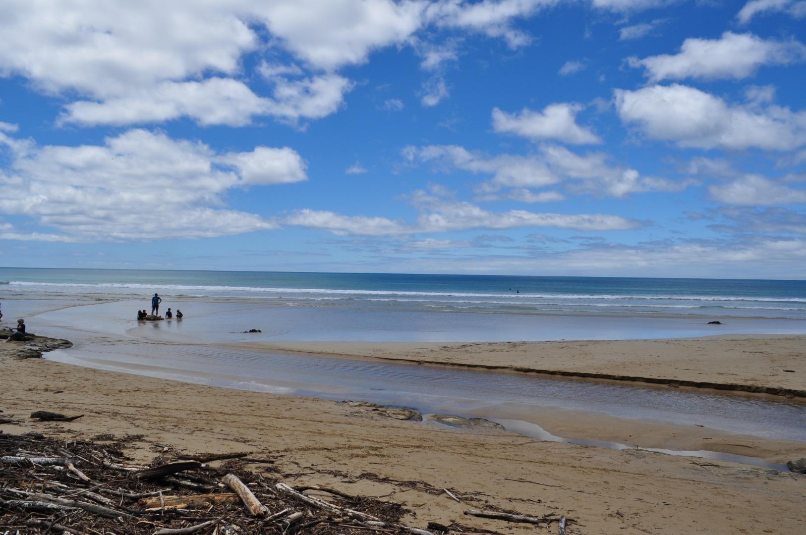
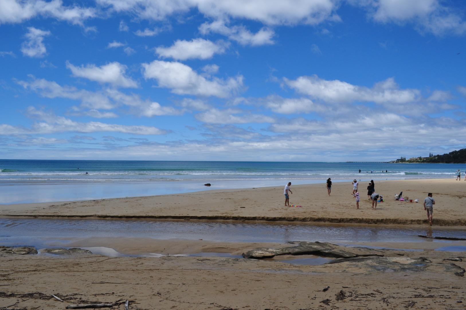
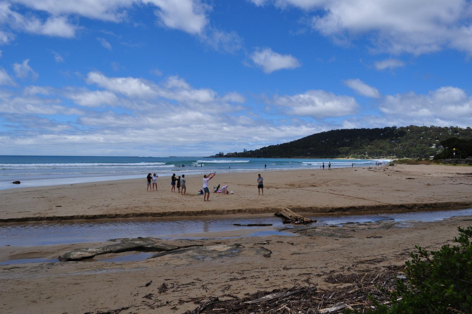
Active Mouth Condition 08-10-2007 - 23-02-2022Erskine River Estuary
145 results found (Displaying 141 - 145)
| ID | Date | Status | Details | |
|---|---|---|---|---|
| #14214 | 15 Jul 2021 | Approved |
Notes:
Water level under bridge unable to be measured as the markings were covered in mud for any measurement >1m. This has been reported to GORCPA |
|
| #14259 | 19 Aug 2021 | Approved |
Notes:
Water gauge under bridge still too dirty to read - so this field shows zero. |
|
| #14378 | 24 Nov 2021 | Approved |
Notes:
Depth measurer so dirty could only estimate water level |
|
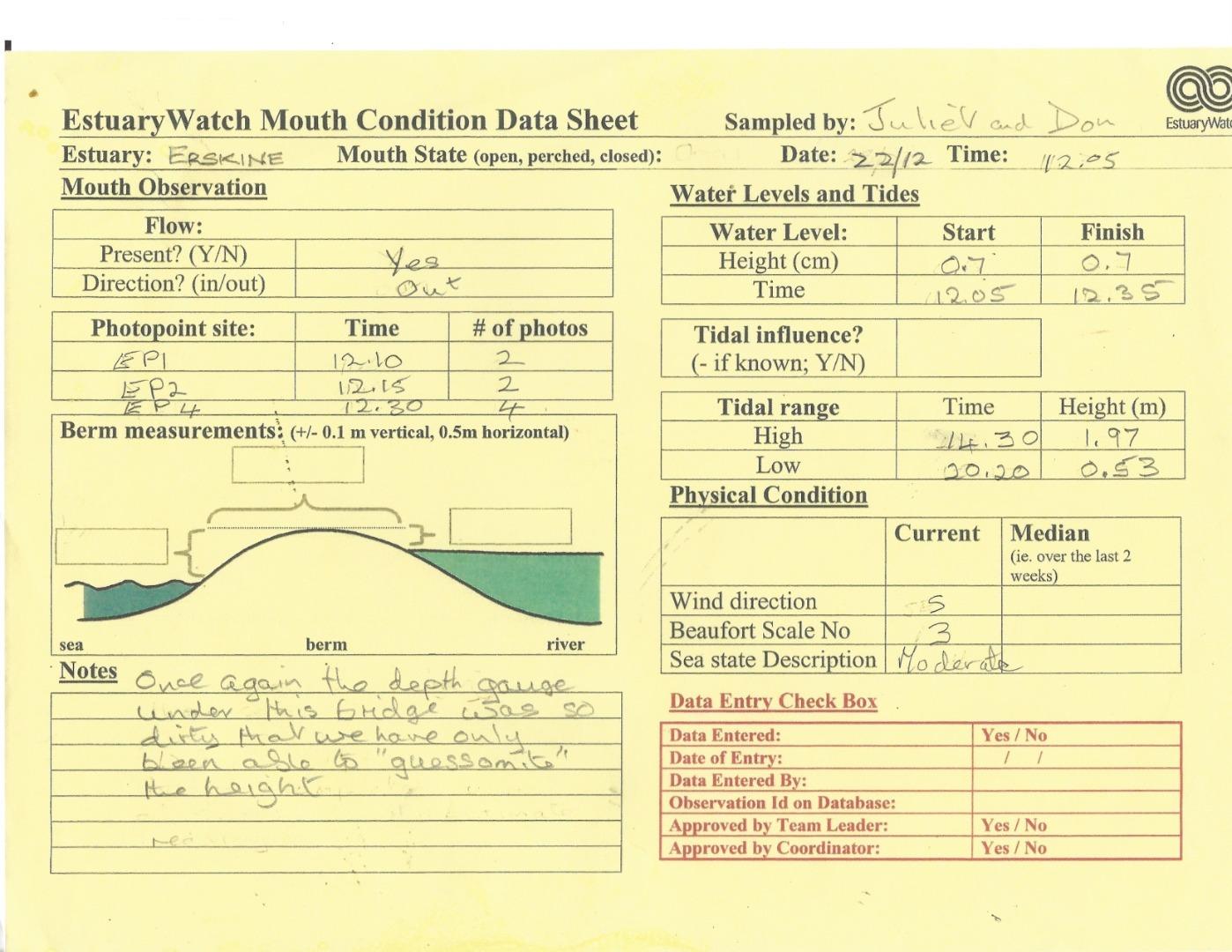
| #14431 | 22 Dec 2021 | Approved |
Notes:
Once again the depth gauge under the bridge was so dirty that we have only been able to "guessomite" the height. |
|
| #14513 | 23 Feb 2022 | Approved |
Notes:
Gauge under bridge still so dirty that any depth below 1.5m is completely covered with slime/dirt |
|

All content, files, data and images provided by the EstuaryWatch Data Portal and Gallery are subject to a Creative Commons Attribution License
Content is made available to be used in any way, and should always attribute EstuaryWatch and www.estuarywatch.org.au